My
List |
Addition Date
|
Target
|
Mission
|
Instrument
|
Size
|

|
2004-10-28 |
Titan
|
Cassini-Huygens
|
Imaging Science Subsystem
|
2990x789x3 |
|
-
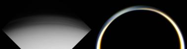
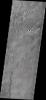
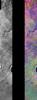
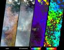
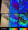
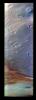
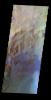
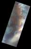
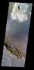
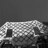
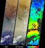
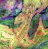
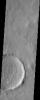
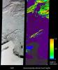
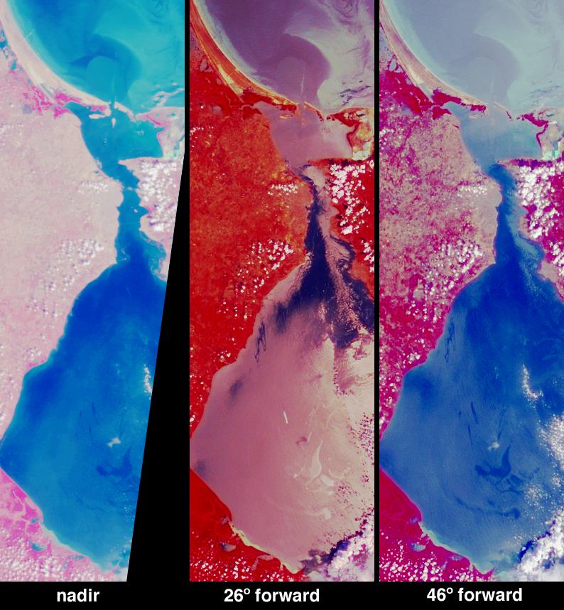
PIA06987:
Two Views of Titan's Haze
Full Resolution:
TIFF
(1.386 MB)
JPEG
(69.86 kB)
|
|
|
2004-10-27 |
Titan
|
Cassini-Huygens
|
Imaging Science Subsystem
|
2072x1924x1 |
|
-
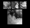
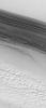
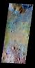
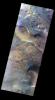
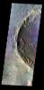
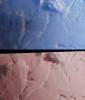
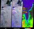
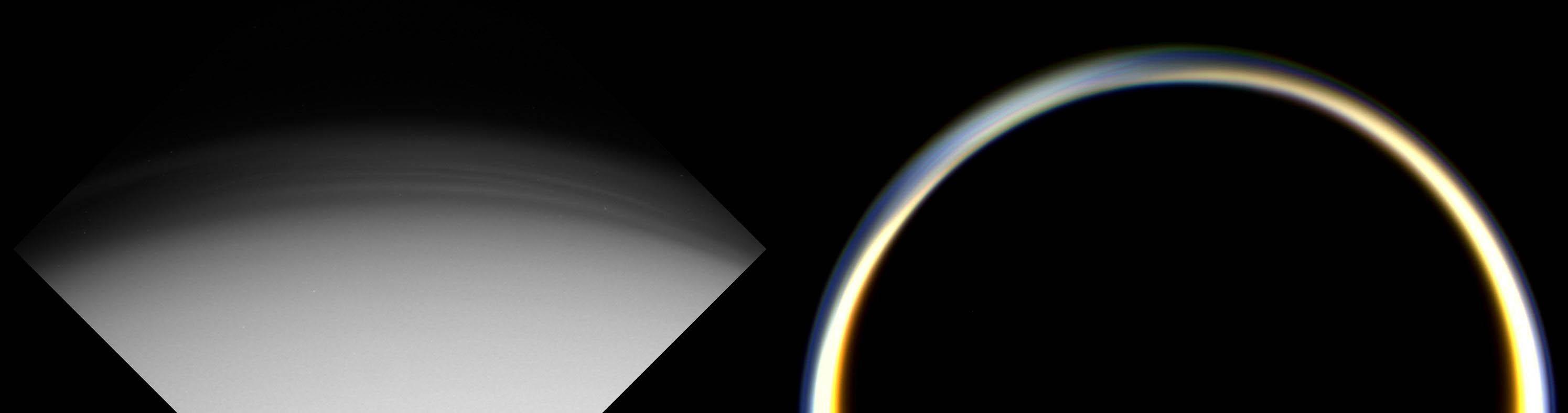
PIA06138:
-
Titan Close-Ups
Full Resolution:
TIFF
(2.094 MB)
JPEG
(295.6 kB)
|
|
|
2004-10-27 |
Titan
|
Cassini-Huygens
|
Imaging Science Subsystem
|
3161x1078x1 |

|
-
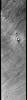
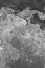
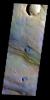
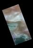
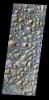
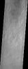
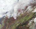
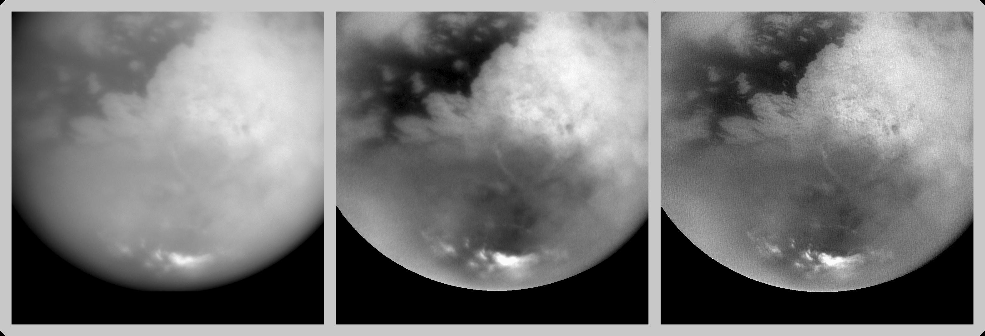
PIA06125:
-
Revealing Titan's Surface
Full Resolution:
TIFF
(2.466 MB)
JPEG
(225.3 kB)
|
|
|
2004-10-02 |
Earth
|
Terra
|
MISR
|
1336x924x3 |

|
-
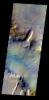
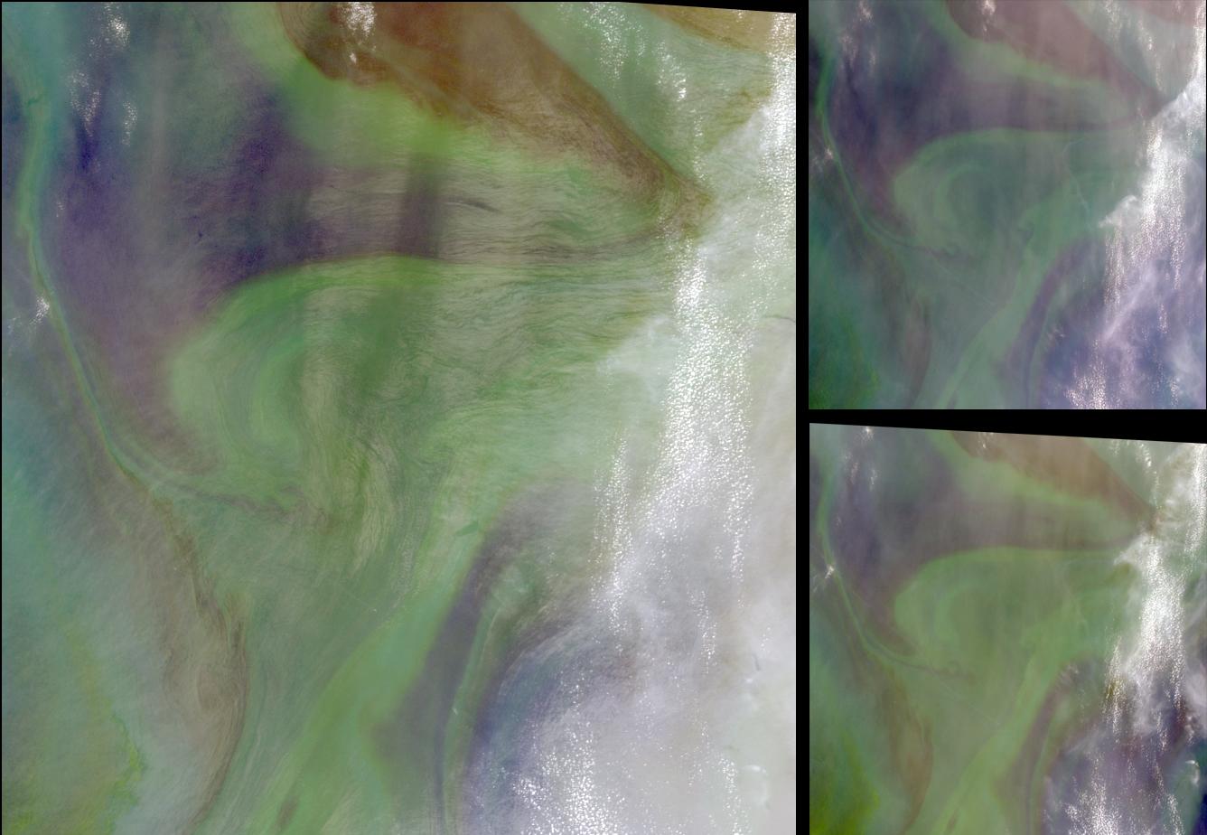
PIA04369:
-
Red Plankton in the Arabian Sea
Full Resolution:
TIFF
(3.416 MB)
JPEG
(118.9 kB)
|
|
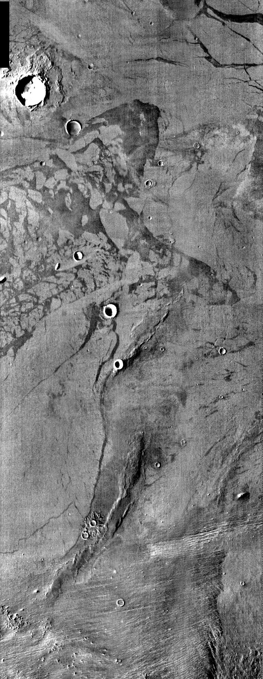
|
2004-09-20 |
Mars
|
2001 Mars Odyssey
|
THEMIS
|
1355x3065x1 |
|
-
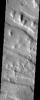
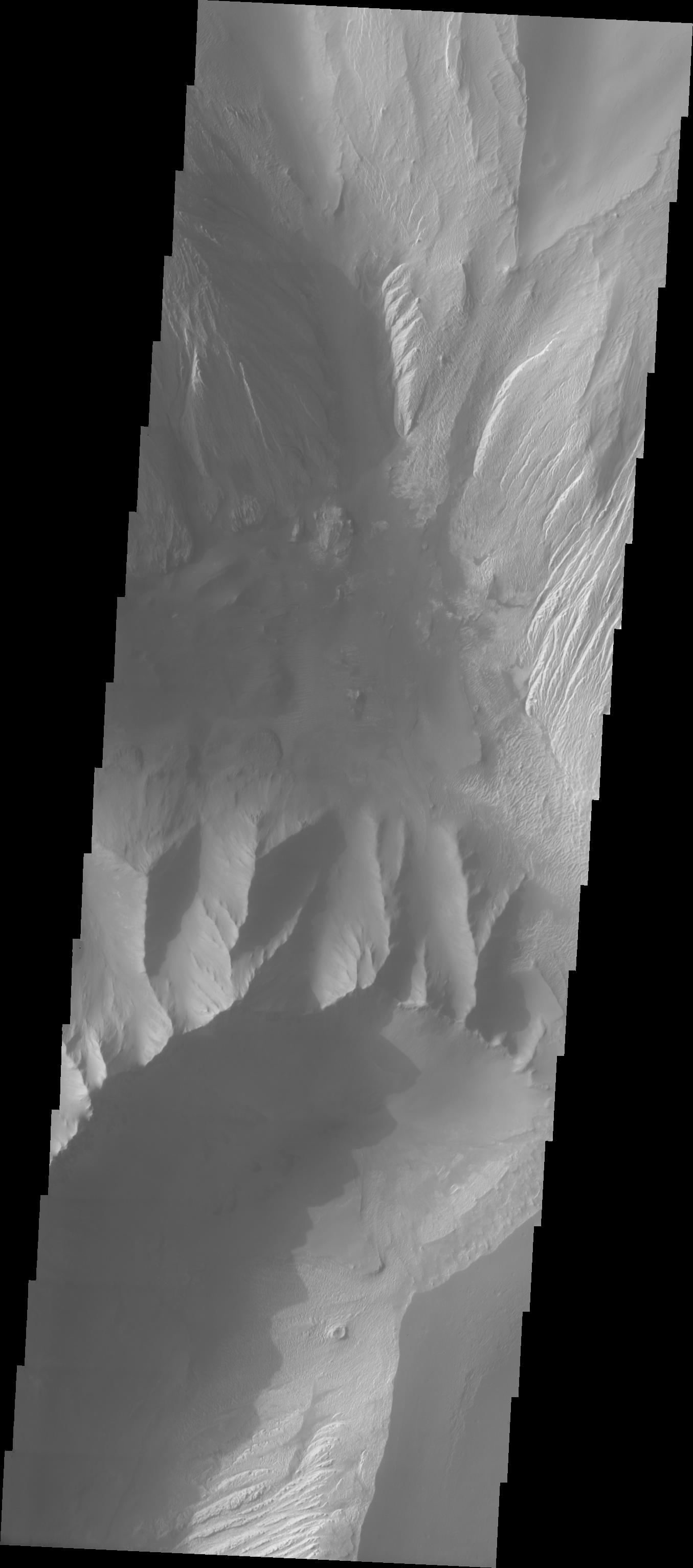
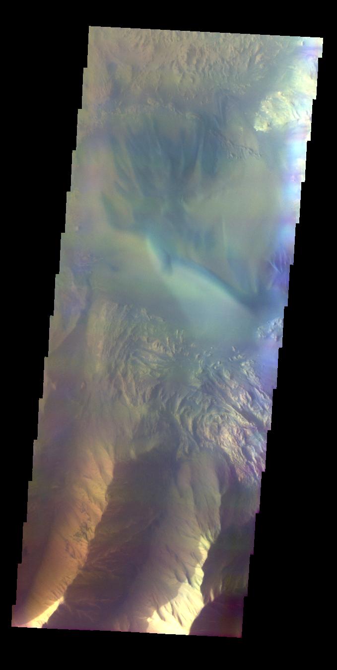
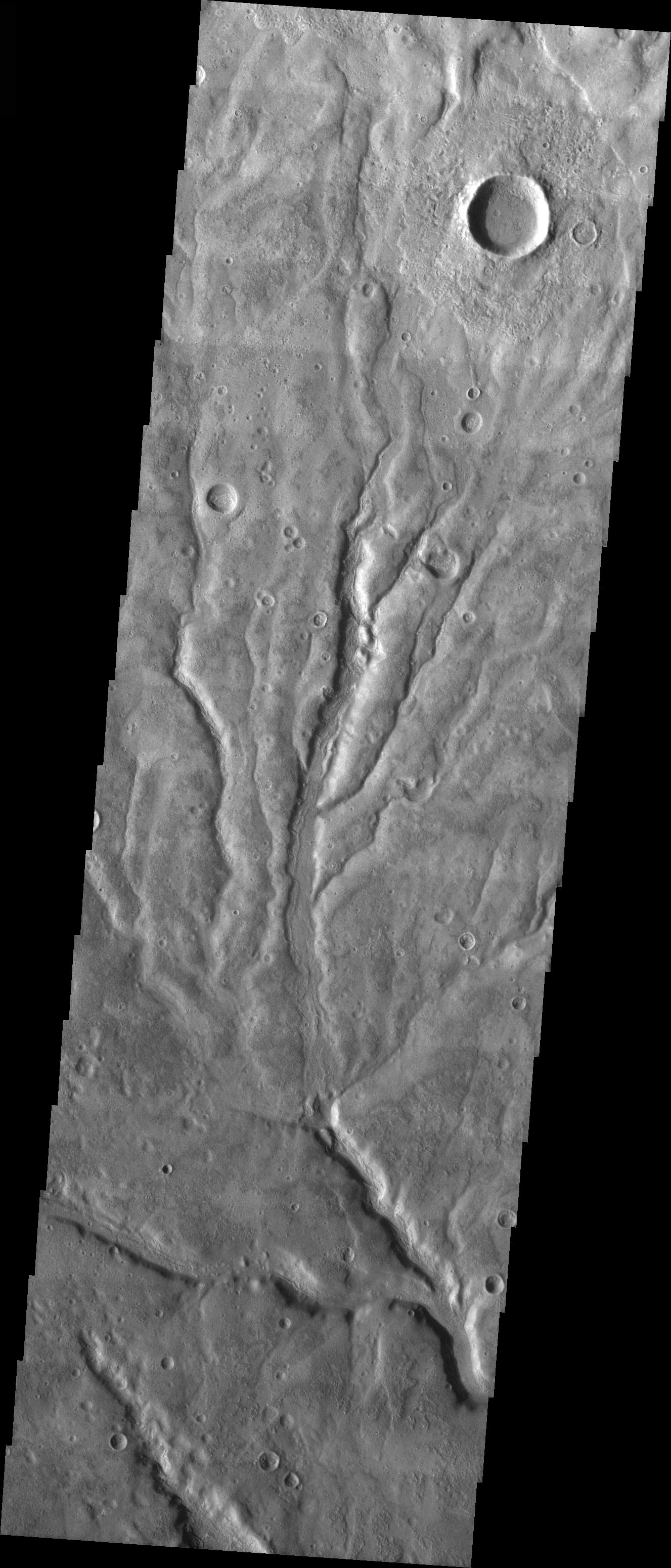
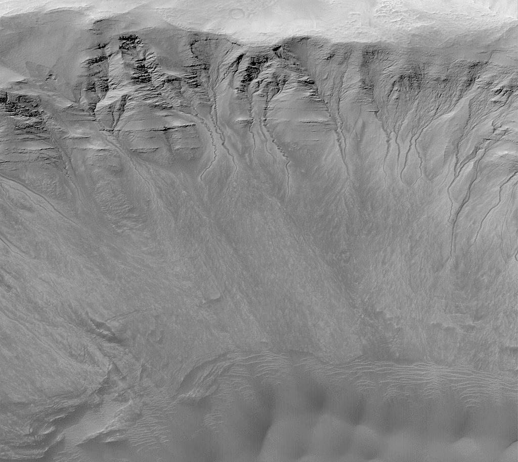
PIA05959:
-
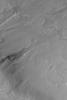
Inter-Chasma Hills
Full Resolution:
TIFF
(2.532 MB)
JPEG
(208.5 kB)
|
|
|
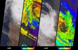
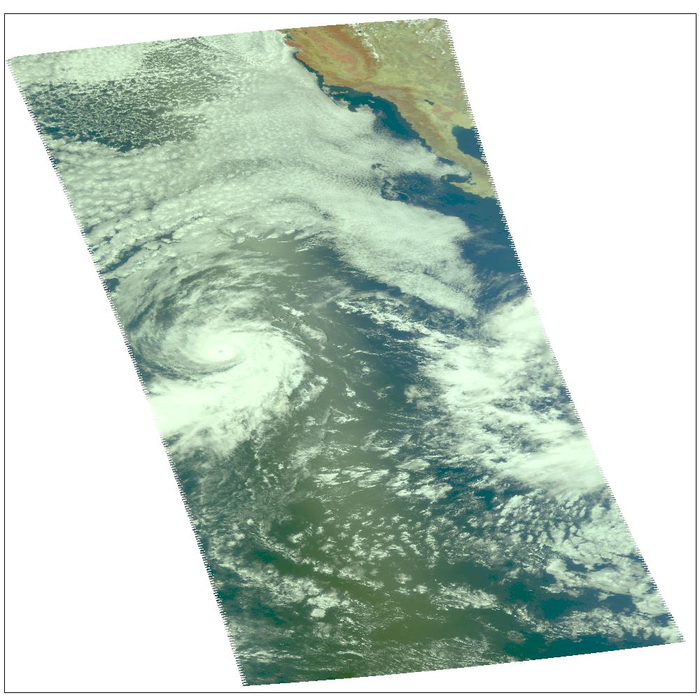
2004-08-30 |
Earth
|
Aqua
|
AIRS
|
490x471x3 |
|
-
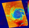
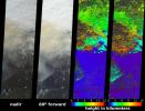
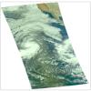
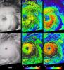
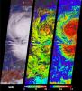
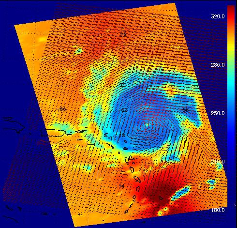
PIA00435:
-
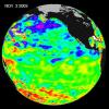
Hurricane Frances as Observed by NASA's Spaceborne Atmospheric Infrared Sounder (AIRS) and SeaWinds Scatterometer
Full Resolution:
TIFF
(693.4 kB)
JPEG
(88.32 kB)
|
|
|
2004-08-19 |
Mars
|
2001 Mars Odyssey
|
THEMIS
|
1403x3058x3 |
|
-
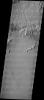
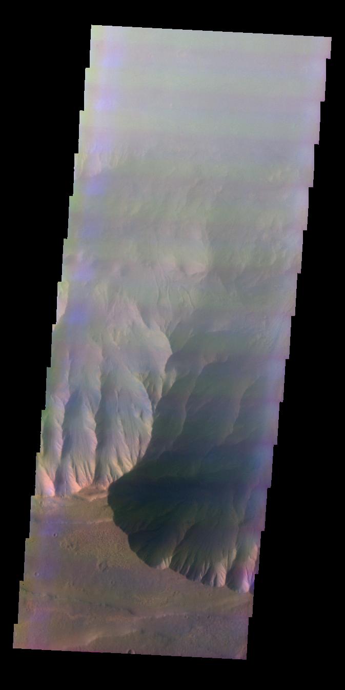
PIA06826:
-
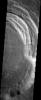
Tantalus Fluctus
Full Resolution:
TIFF
(5.127 MB)
JPEG
(781.6 kB)
|
|
|
2004-08-19 |
Mars
|
Mars Global Surveyor (MGS)
|
Mars Orbiter Camera (MOC)
|
1024x2386x1 |
|
-
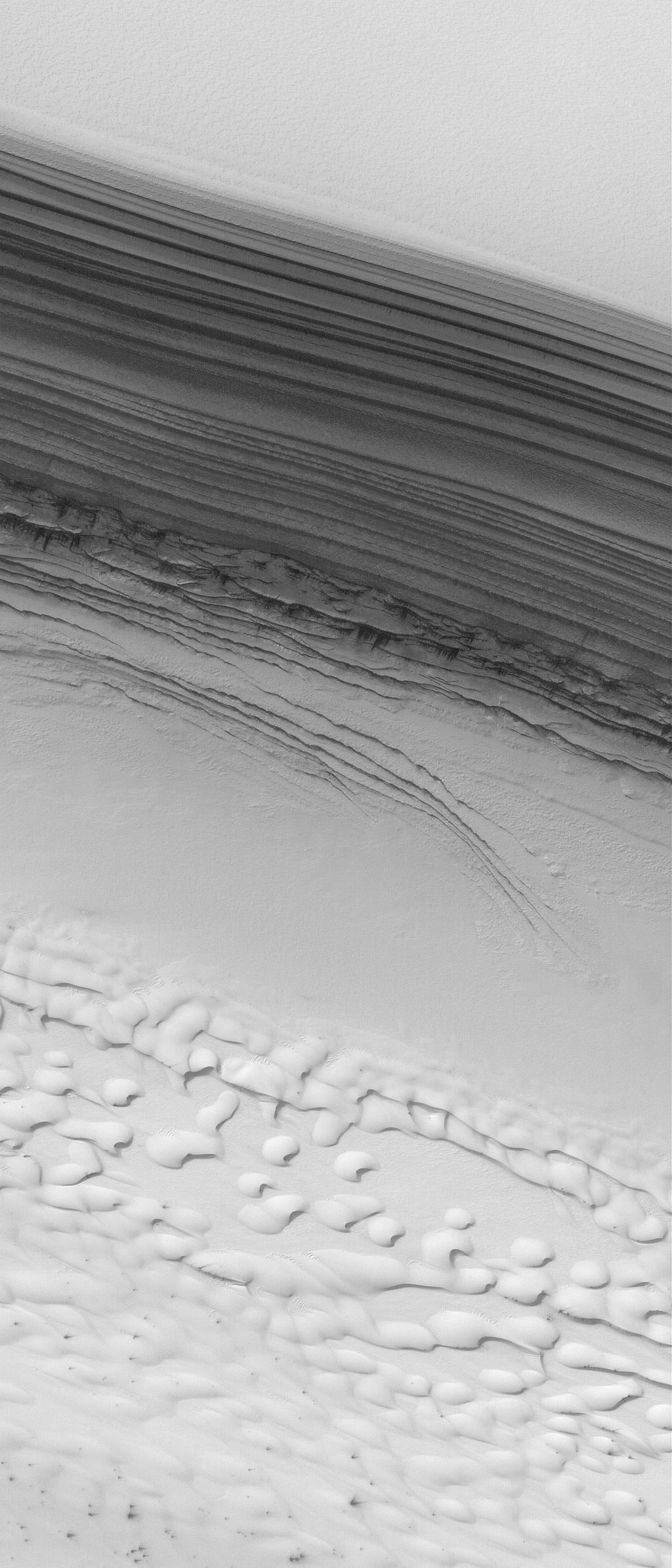
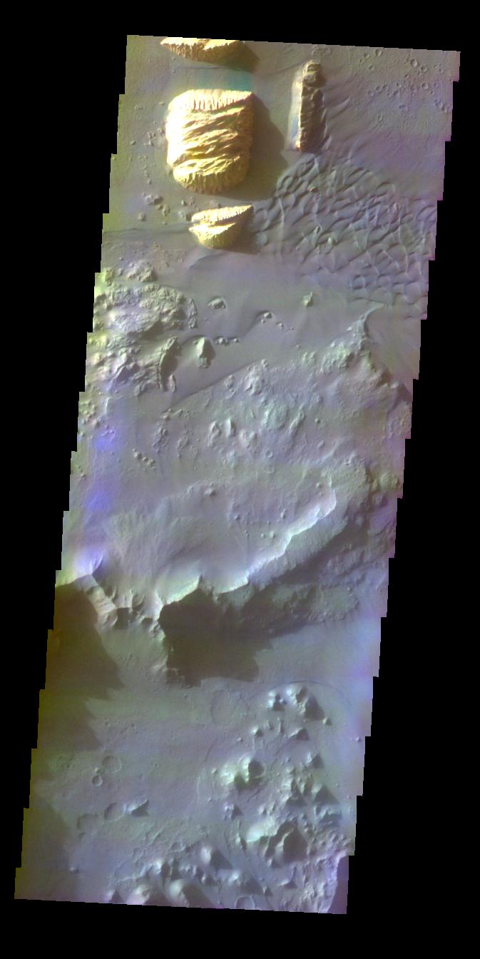
PIA06811:
-
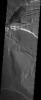
Polar Unconformity
Full Resolution:
TIFF
(2.306 MB)
JPEG
(279.8 kB)
|
|
|
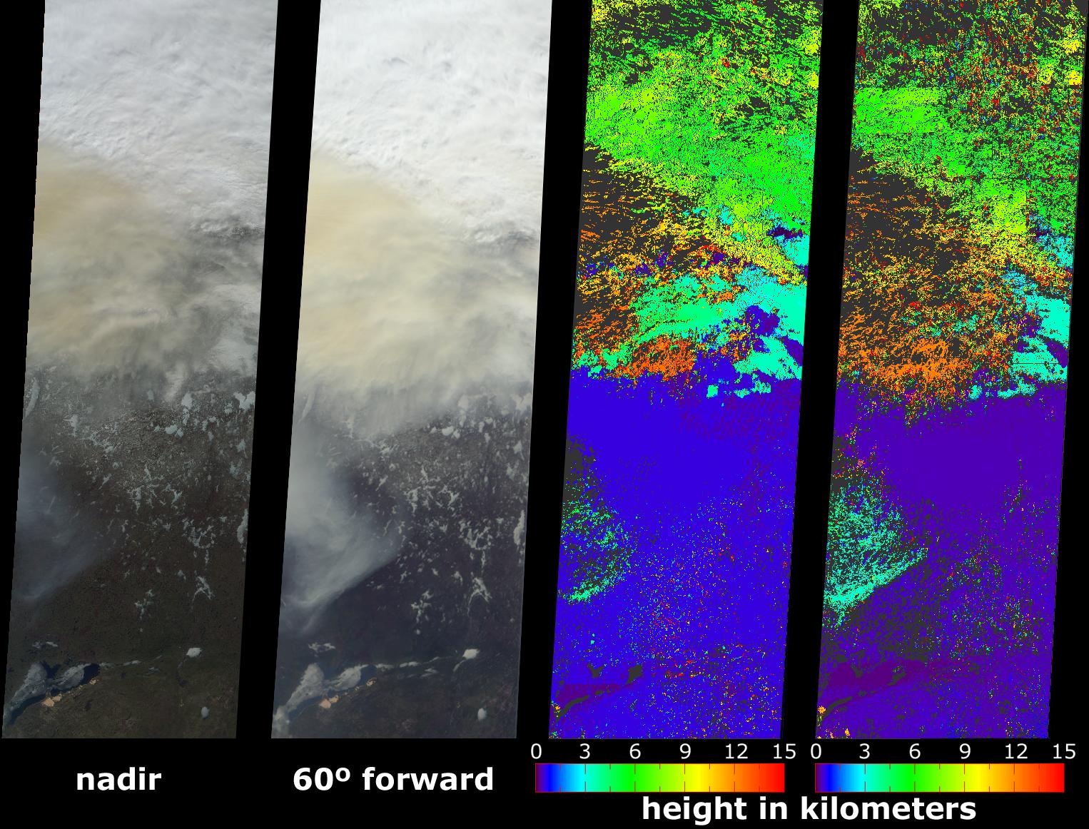
2004-08-18 |
Earth
|
Terra
|
MISR
|
1526x1162x3 |
|
-
PIA04365:
-
Smoke Soars to Stratospheric Heights
Full Resolution:
TIFF
(2.566 MB)
JPEG
(395.6 kB)
|
|
|
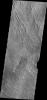
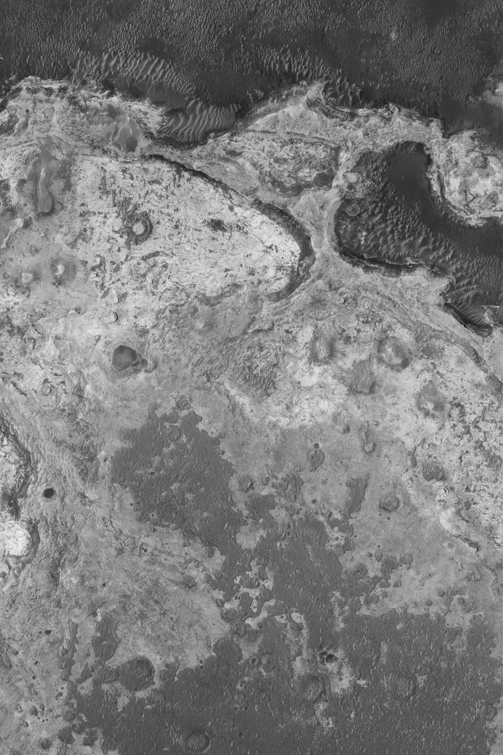
2004-08-17 |
Mars
|
2001 Mars Odyssey
|
THEMIS
|
889x2291x1 |

|
-
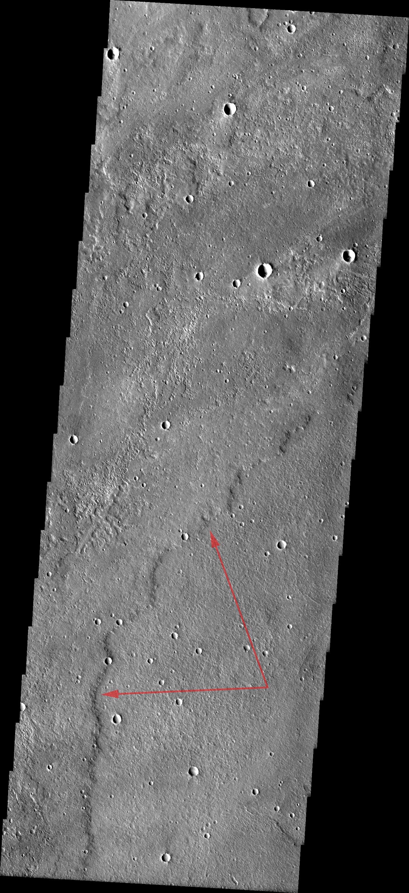
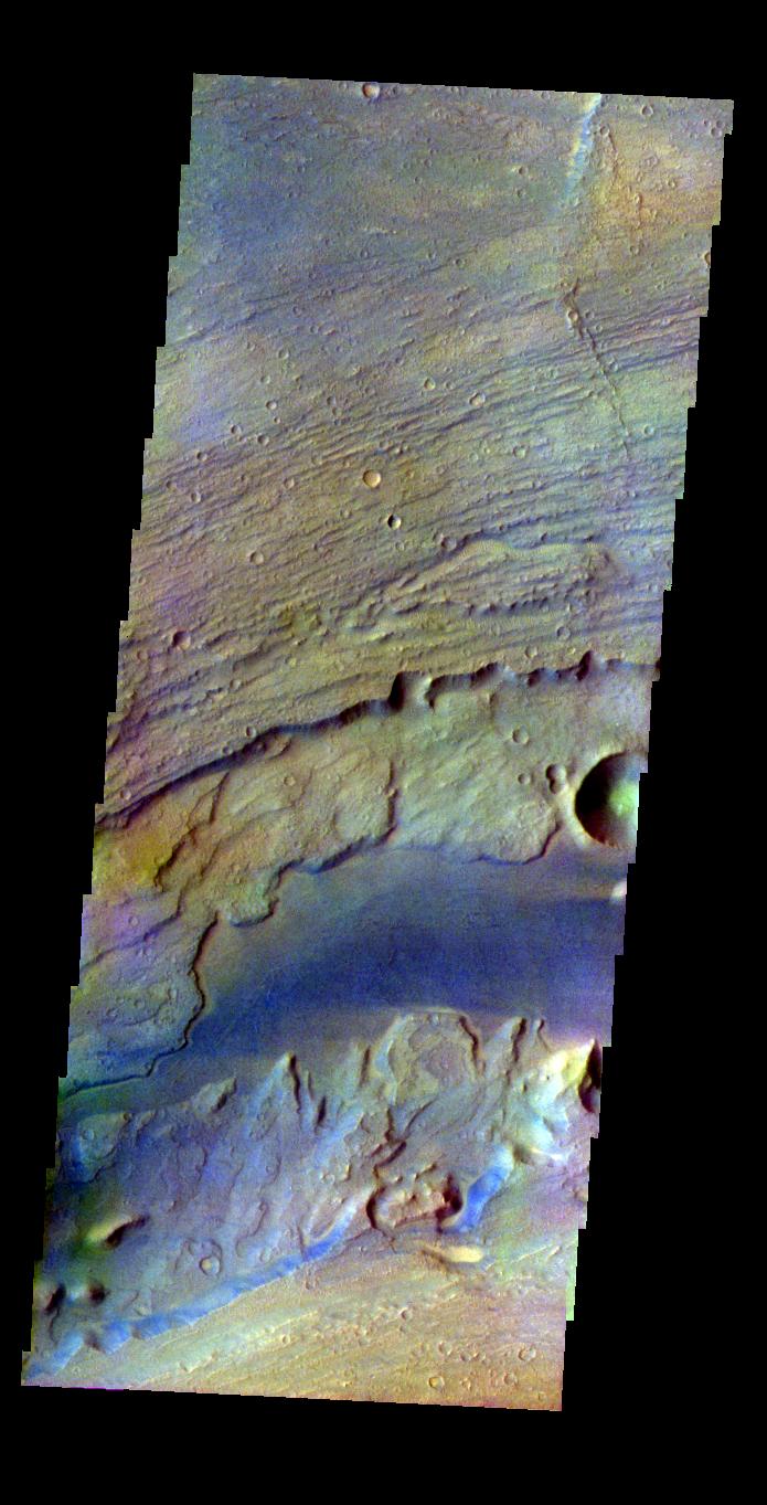
PIA06824:
-
Elysium Planitia
Full Resolution:
TIFF
(2.039 MB)
JPEG
(520.9 kB)
|
|
|
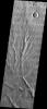
2004-08-16 |
Mars
|
2001 Mars Odyssey
|
THEMIS
|
611x2304x1 |
|
-
PIA06823:
-
Daedalia Planum
Full Resolution:
TIFF
(1.409 MB)
JPEG
(218.2 kB)
|
|
|
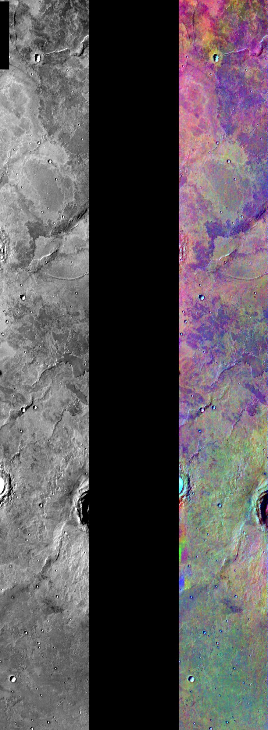
2004-08-05 |
Mars
|
2001 Mars Odyssey
|
THEMIS
|
879x2395x3 |
|
-
PIA06817:
-
Lava Flows in IR Color
Full Resolution:
TIFF
(4.03 MB)
JPEG
(294.1 kB)
|
|
|
2004-08-02 |
Mars
|
Mars Global Surveyor (MGS)
|
Mars Orbiter Camera (MOC)
|
1024x1536x1 |
|
-
PIA06743:
-
Meridiani Outcrops
Full Resolution:
TIFF
(1.575 MB)
JPEG
(324.5 kB)
|
|
|
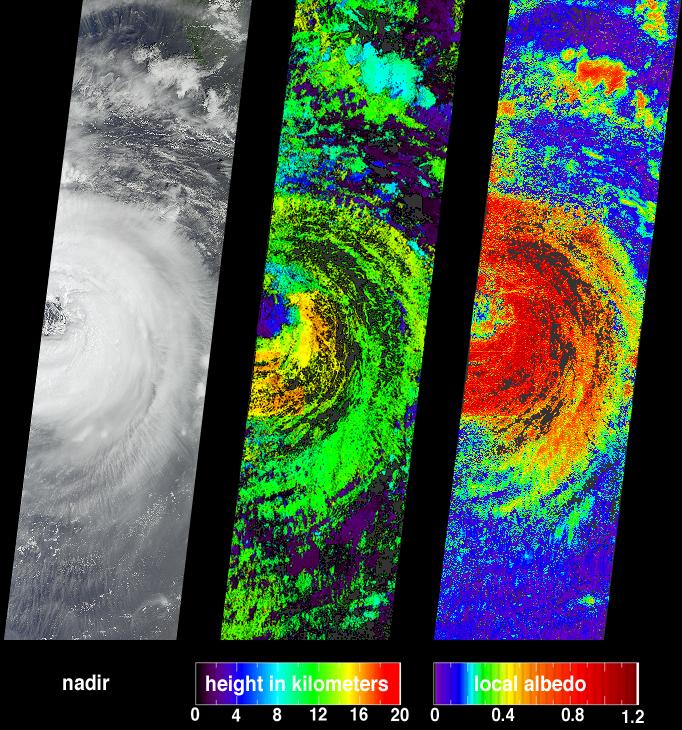
2004-07-26 |
Earth
|
Aqua
|
AIRS
|
1000x1000x3 |
|
-
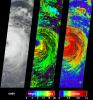
PIA00439:
-
Hurricane Darby off the Pacific Coast of Mexico
Full Resolution:
TIFF
(3.004 MB)
JPEG
(139 kB)
|
|
|
2004-07-14 |
Mars
|
2001 Mars Odyssey
|
THEMIS
|
1356x3064x1 |
|
-
PIA06459:
-
Windstreaks in Daedalia
Full Resolution:
TIFF
(3.325 MB)
JPEG
(589.7 kB)
|
|
|
2004-07-07 |
Earth
|
Terra
|
MISR
|
3141x2477x3 |
|
-
PIA04362:
-
Fire and Deforestation near the Xingu River
Full Resolution:
TIFF
(13.92 MB)
JPEG
(1.079 MB)
|
|
|
2004-07-02 |
Saturn
|
Cassini-Huygens
|
Visual and Infrared Mapping Spectrometer
|
720x540x3 |
|
-
PIA06350:
-
'Dirty Rotten' Rings
Full Resolution:
TIFF
(303.2 kB)
JPEG
(38.74 kB)
|
|
|
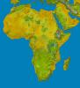
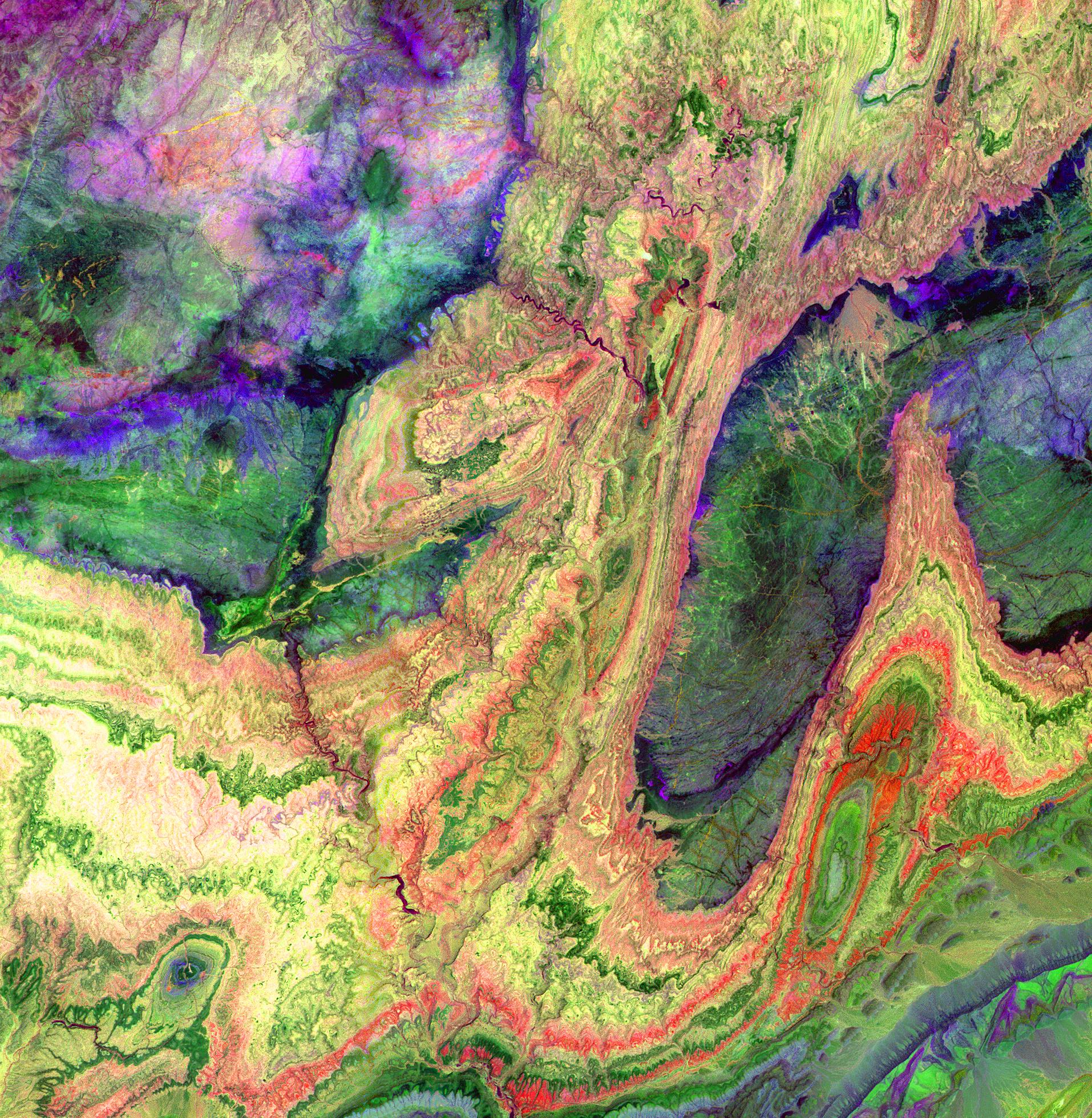
2004-06-17 |
Earth
|
Shuttle Radar Topography Mission (SRTM)
|
C-Band Interferometric Radar
X-Band Radar
|
9600x10500x3 |
|
-
PIA04965:
-
SRTM Data Release for Africa, Colored Height
Full Resolution:
TIFF
(146.2 MB)
JPEG
(19.74 MB)
|
|
|
2004-06-10 |
Mars
|
2001 Mars Odyssey
|
THEMIS
|
734x1370x3 |
|
-
PIA06389:
-
Hebes Mensa
Full Resolution:
TIFF
(1.963 MB)
JPEG
(97.98 kB)
|
|
|
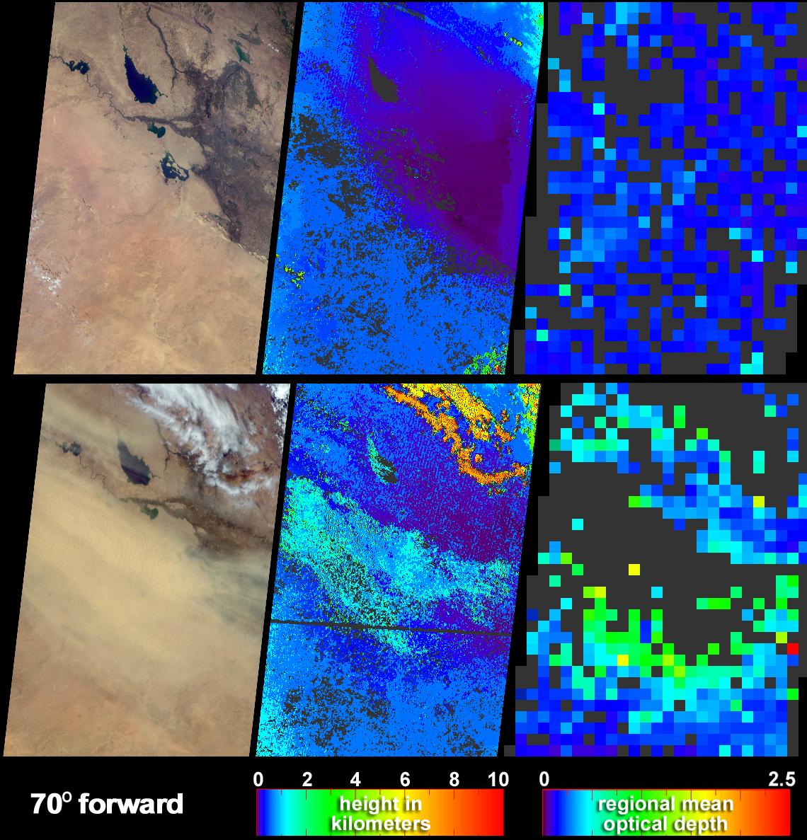
2004-06-09 |
Earth
|
Terra
|
MISR
|
1140x1187x3 |
|
-
PIA04360:
-
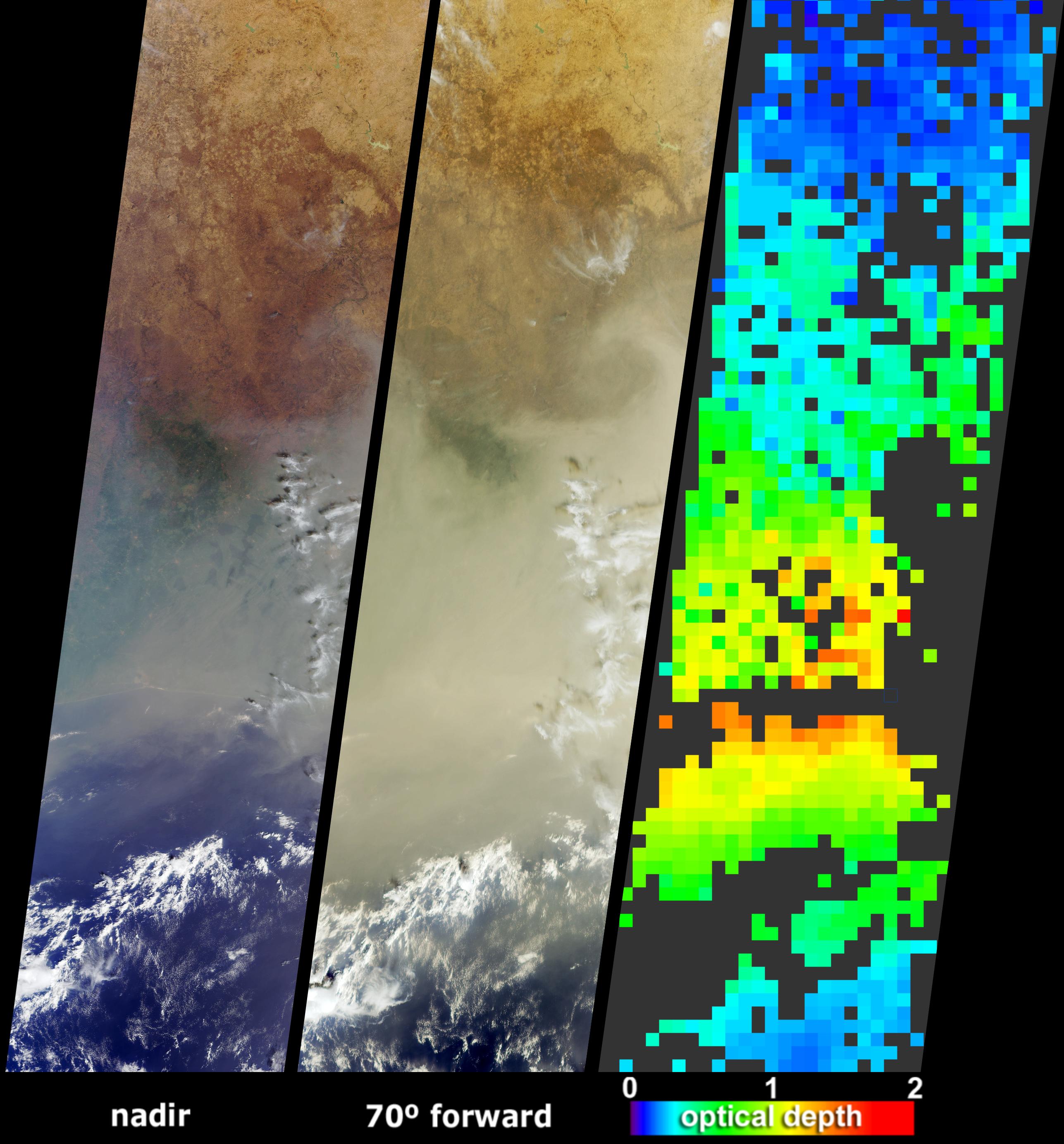
Elevated Dust over the Middle East
Full Resolution:
TIFF
(2.035 MB)
JPEG
(270.7 kB)
|
|
|
2004-06-09 |
Mars
|
2001 Mars Odyssey
|
THEMIS
|
695x1361x3 |
|
-
PIA06388:
-
Nili Fossae
Full Resolution:
TIFF
(2.111 MB)
JPEG
(113.6 kB)
|
|
|
2004-06-08 |
Mars
|
2001 Mars Odyssey
|
THEMIS
|
665x1343x3 |
|
-
PIA06387:
-
Thaumasia Planium
Full Resolution:
TIFF
(1.953 MB)
JPEG
(85.83 kB)
|
|
|
2004-06-07 |
Mars
|
2001 Mars Odyssey
|
THEMIS
|
679x1347x3 |
|
-
PIA06386:
-
Hebes Mensa
Full Resolution:
TIFF
(1.894 MB)
JPEG
(59.91 kB)
|
|
|
2004-06-04 |
Mars
|
2001 Mars Odyssey
|
THEMIS
|
673x1345x3 |

|
-
PIA06374:
-
Outcrops in Coprates Chasma
Full Resolution:
TIFF
(1.708 MB)
JPEG
(49.18 kB)
|
|
|
2004-06-03 |
Mars
|
2001 Mars Odyssey
|
THEMIS
|
673x1344x3 |
|
-
PIA06373:
-
Ganges Chasma
Full Resolution:
TIFF
(1.925 MB)
JPEG
(79.07 kB)
|
|
|
2004-06-02 |
Mars
|
2001 Mars Odyssey
|
THEMIS
|
695x1363x3 |
|
-
PIA06372:
-
Kasei Valles
Full Resolution:
TIFF
(2.15 MB)
JPEG
(126.3 kB)
|
|
|
2004-06-01 |
Mars
|
2001 Mars Odyssey
|
THEMIS
|
707x1664x3 |
|
-
PIA06371:
-
Ceti Mensa
Full Resolution:
TIFF
(2.467 MB)
JPEG
(139.7 kB)
|
|
|
2004-05-31 |
Mars
|
2001 Mars Odyssey
|
THEMIS
|
691x1354x3 |
|
-
PIA06370:
-
Cliff Face
Full Resolution:
TIFF
(2.055 MB)
JPEG
(85.18 kB)
|
|
|
2004-05-28 |
Mars
|
2001 Mars Odyssey
|
THEMIS
|
580x1593x3 |
|
-
PIA06005:
-
South Polar Cap
Full Resolution:
TIFF
(2.451 MB)
JPEG
(106.9 kB)
|
|
|
2004-05-27 |
Mars
|
2001 Mars Odyssey
|
THEMIS
|
707x1385x3 |
|
-
PIA06004:
-
Moreux Crater
Full Resolution:
TIFF
(2.136 MB)
JPEG
(87.22 kB)
|
|
|
2004-05-26 |
Mars
|
2001 Mars Odyssey
|
THEMIS
|
711x1392x3 |
|
-
PIA06003:
-
Acidalia Planitia Crater
Full Resolution:
TIFF
(2.236 MB)
JPEG
(139.3 kB)
|
|
|
2004-05-25 |
Mars
|
2001 Mars Odyssey
|
THEMIS
|
711x1392x3 |

|
-
PIA06002:
-
Rampart Crater Ejecta
Full Resolution:
TIFF
(2.21 MB)
JPEG
(109.4 kB)
|
|
|
2004-05-24 |
Mars
|
2001 Mars Odyssey
|
THEMIS
|
715x1395x3 |
|
-
PIA06001:
-
Acidalia Planitia Crater
Full Resolution:
TIFF
(2.134 MB)
JPEG
(99.87 kB)
|
|
|
2004-05-21 |
Mars
|
2001 Mars Odyssey
|
THEMIS
|
695x1367x3 |
|
-
PIA06000:
-
Crater Ejecta
Full Resolution:
TIFF
(2.138 MB)
JPEG
(147.2 kB)
|
|
|
2004-05-20 |
Mars
|
2001 Mars Odyssey
|
THEMIS
|
695x1369x3 |
|
-
PIA05999:
-
Rampart Crater
Full Resolution:
TIFF
(2.033 MB)
JPEG
(95.49 kB)
|
|
|
2004-05-19 |
Mars
|
2001 Mars Odyssey
|
THEMIS
|
697x1369x3 |
|
-
PIA05976:
-
Tinjar Vallis
Full Resolution:
TIFF
(2.145 MB)
JPEG
(132.1 kB)
|
|
|
2004-05-18 |
Mars
|
2001 Mars Odyssey
|
THEMIS
|
691x1354x3 |
|
-
PIA05975:
-
Syrtis Major
Full Resolution:
TIFF
(2.114 MB)
JPEG
(120.5 kB)
|
|
|
2004-05-17 |
Mars
|
2001 Mars Odyssey
|
THEMIS
|
695x1359x3 |
|
-
PIA05974:
-
Nili Fossae Crater
Full Resolution:
TIFF
(1.908 MB)
JPEG
(61.75 kB)
|
|
|
2004-05-14 |
Mars
|
2001 Mars Odyssey
|
THEMIS
|
691x1357x3 |
|
-
PIA05973:
-
Pathfinder Landing Site in Color
Full Resolution:
TIFF
(2.134 MB)
JPEG
(155.6 kB)
|
|
|
2004-05-13 |
Mars
|
2001 Mars Odyssey
|
THEMIS
|
935x1365x3 |
|
-
PIA05972:
-
Northern Polar Cap
Full Resolution:
TIFF
(1.799 MB)
JPEG
(70.46 kB)
|
|
|
2004-05-12 |
Mars
|
2001 Mars Odyssey
|
THEMIS
|
850x1421x3 |
|
-
PIA05971:
-
Polar Cap Colors
Full Resolution:
TIFF
(2.072 MB)
JPEG
(97.98 kB)
|
|
|
2004-05-11 |
Mars
|
2001 Mars Odyssey
|
THEMIS
|
917x1415x3 |
|
-
PIA05970:
-
Psychedelic Crater Rim
Full Resolution:
TIFF
(2.081 MB)
JPEG
(83.66 kB)
|
|
|
2004-05-10 |
Mars
|
2001 Mars Odyssey
|
THEMIS
|
780x1421x3 |
|
-
PIA05939:
-
False-color Dalmatian Terrain
Full Resolution:
TIFF
(2.15 MB)
JPEG
(103.7 kB)
|
|
|
2004-05-07 |
Mars
|
2001 Mars Odyssey
|
THEMIS
|
665x1345x3 |
|
-
PIA05938:
-
Colored Chaos
Full Resolution:
TIFF
(2.049 MB)
JPEG
(122.4 kB)
|
|
|
2004-05-06 |
Mars
|
2001 Mars Odyssey
|
THEMIS
|
663x1347x3 |
|
-
PIA05881:
-
Cut Crater in Reull Vallis
Full Resolution:
TIFF
(2.026 MB)
JPEG
(109.9 kB)
|
|
|
2004-05-05 |
Mars
|
2001 Mars Odyssey
|
THEMIS
|
659x1340x3 |
|
-
PIA05880:
-
Crater Floor in Color
Full Resolution:
TIFF
(1.927 MB)
JPEG
(88.77 kB)
|
|
|
2004-05-04 |
Mars
|
2001 Mars Odyssey
|
THEMIS
|
661x1345x3 |
|
-
PIA05866:
-
Dune-filled Crater in Color
Full Resolution:
TIFF
(2.013 MB)
JPEG
(98.13 kB)
|
|
|
2004-05-03 |
Mars
|
2001 Mars Odyssey
|
THEMIS
|
636x1261x3 |
|
-
PIA05864:
-
Polar Color
Full Resolution:
TIFF
(1.482 MB)
JPEG
(32.86 kB)
|
|
|
2004-04-30 |
Mars
|
2001 Mars Odyssey
|
THEMIS
|
630x1275x3 |
|
-
PIA05863:
-
Colored Crater in Vastitas Borealis
Full Resolution:
TIFF
(2.197 MB)
JPEG
(91.6 kB)
|
|
|
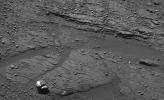
2004-04-01 |
Mars
|
Mars Exploration Rover (MER)
|
Panoramic Camera
Rock Abrasion Tool (RAT)
|
603x730x1 |

|
-
PIA05667:
-
Rock Bites into "Bounce"
Full Resolution:
TIFF
(388.9 kB)
JPEG
(34.41 kB)
|
|
|
2004-04-01 |
Mars
|
2001 Mars Odyssey
|
THEMIS
|
1435x3057x1 |
|
-
PIA05666:
-
Alba Patera Channels
Full Resolution:
TIFF
(3.583 MB)
JPEG
(504.5 kB)
|
|
|
2004-03-26 |
Mars
|
2001 Mars Odyssey
|
THEMIS
|
1327x3100x1 |
|
-
PIA05662:
-
Multiple Channels in Warrego Valles
Full Resolution:
TIFF
(3.114 MB)
JPEG
(441.3 kB)
|
|
|
2004-03-23 |
Mars
|
Mars Exploration Rover (MER)
|
Microscopic Imager
Panoramic Camera
|
1698x1036x1 |
|
-
PIA05623:
-
Signs of Soft-Sediment Deformation at "Slickrock"
Full Resolution:
TIFF
(1.527 MB)
JPEG
(187.1 kB)
|
|
|
2004-03-04 |
Earth
|
Shuttle Radar Topography Mission (SRTM)
|
C-Band Radar
X-Band Radar
|
250x380x3 |

|
-
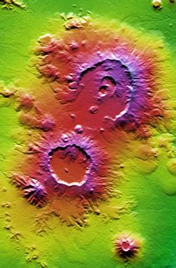
PIA04953:
-
Nabro and Mallahle Volcanoes, Eritrea and Ethiopia, SRTM Colored Height and Shaded Relief
Full Resolution:
TIFF
(285.5 kB)
JPEG
(23.34 kB)
|
|
|
2004-03-03 |
Earth
|
Terra
|
MISR
|
3020x1941x3 |
|
-
PIA04353:
-
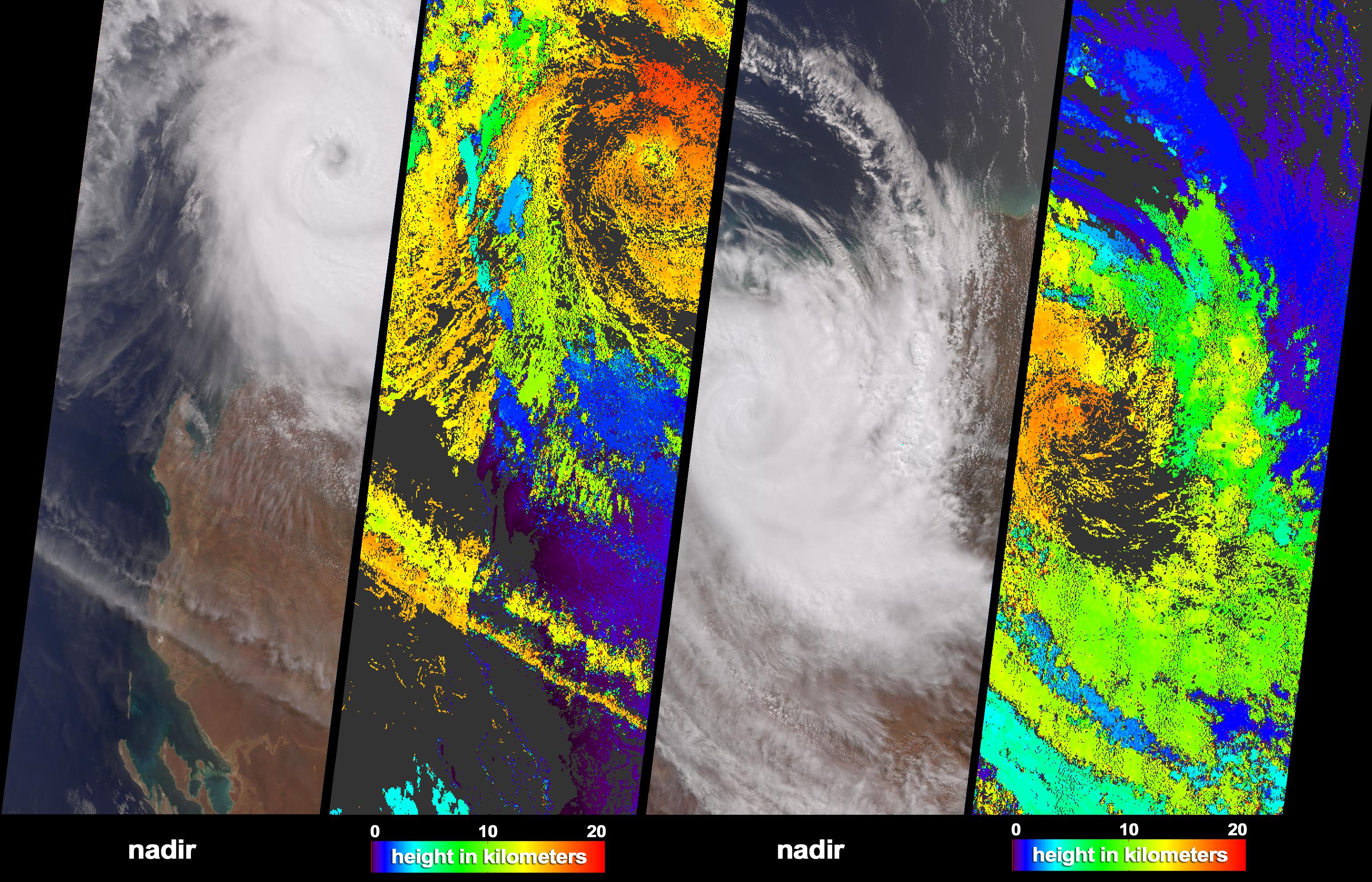
Tropical Cyclone Monty Strikes Western Australia
Full Resolution:
TIFF
(9.508 MB)
JPEG
(1.217 MB)
|
|
|
2004-03-03 |
|
Mars Reconnaissance Orbiter (MRO)
|
|
692x479x3 |

|
-
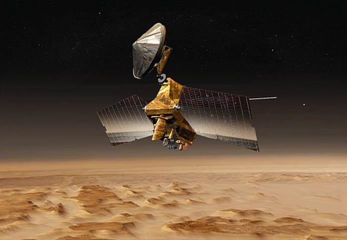
PIA05490:
-
Bird's Eye View of Mars
Full Resolution:
TIFF
(662.1 kB)
JPEG
(36.35 kB)
|
|
|
2004-02-20 |
Mars
|
Mars Exploration Rover (MER)
|
Panoramic Camera
Rock Abrasion Tool (RAT)
|
1274x896x3 |
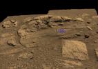
|
-
PIA05338:
-
Plotting and Scheming
Full Resolution:
TIFF
(2.938 MB)
JPEG
(208 kB)
|
|
|
2004-02-09 |
Mars
|
Mars Exploration Rover (MER)
|
Descent Image Motion Estimation System (DIMES)
|
764x614x3 |
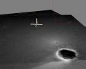
|
-
PIA05226:
-
Opportunity's Hole in One (Side View)
Full Resolution:
TIFF
(1.41 MB)
JPEG
(40.31 kB)
|
|
|
2004-02-09 |
Mars
|
Mars Exploration Rover (MER)
|
Descent Image Motion Estimation System (DIMES)
|
878x774x3 |
|
-
PIA05225:
-
Opportunity's Hole in One
Full Resolution:
TIFF
(2.042 MB)
JPEG
(67.66 kB)
|
|
|
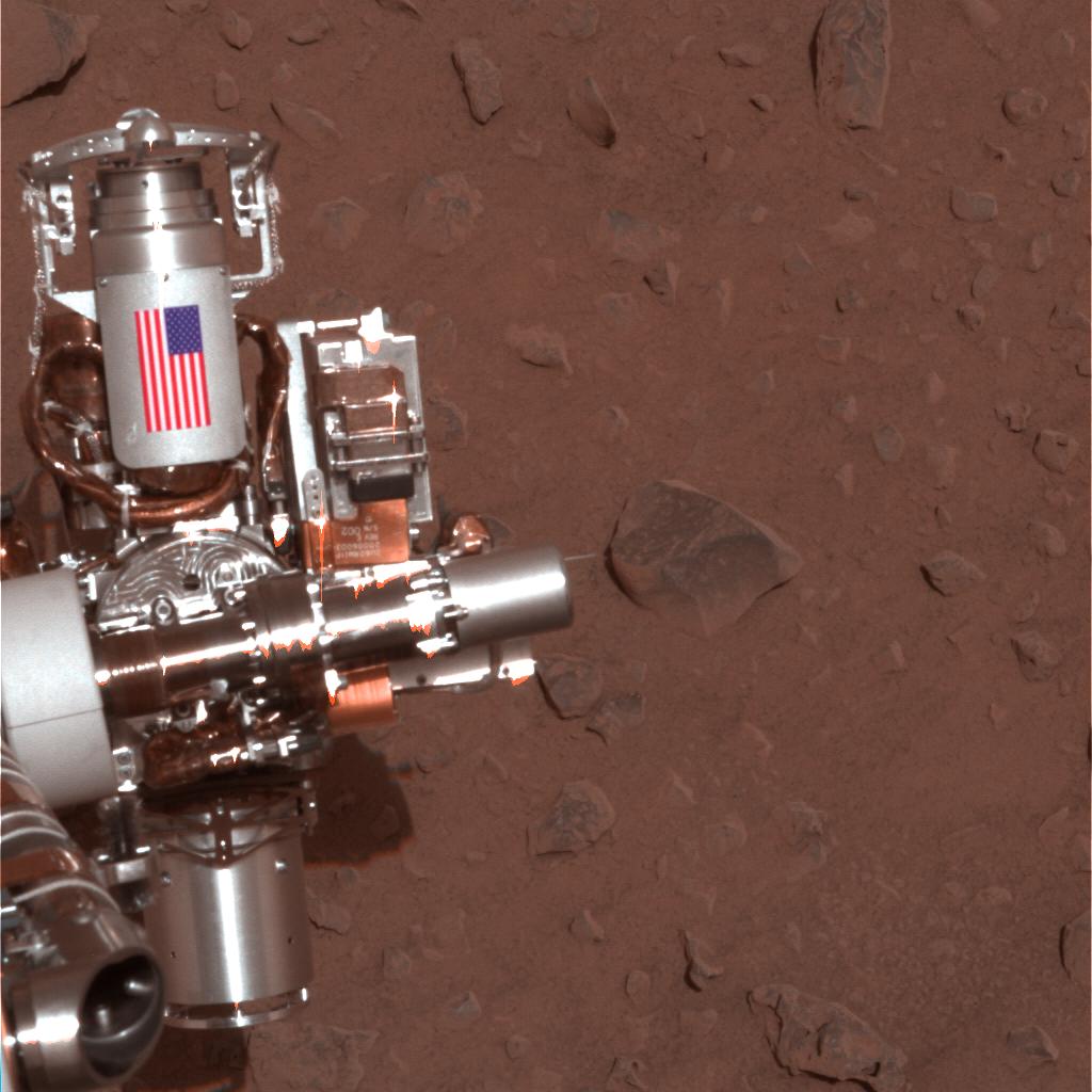
2004-02-06 |
Mars
|
Mars Exploration Rover (MER)
|
Panoramic Camera
|
1024x1024x3 |

|
-
PIA05221:
-
Interplanetary Memorial to Victims of Sept. 11, 2001
Full Resolution:
TIFF
(2.357 MB)
JPEG
(106 kB)
|
|
|
2004-02-06 |
Mars
|
Mars Exploration Rover (MER)
|
Panoramic Camera
|
1025x1025x3 |
|
-
PIA05220:
-
Back in Action
Full Resolution:
TIFF
(3.156 MB)
JPEG
(137 kB)
|
|
|
2004-01-30 |
Mars
|
Mars Exploration Rover (MER)
|
Navigation Camera
|
1024x1024x1 |
|
-
PIA05170:
-
Opportunity Egress Aid Contacts Soil
Full Resolution:
TIFF
(863.1 kB)
JPEG
(108 kB)
|
|
|
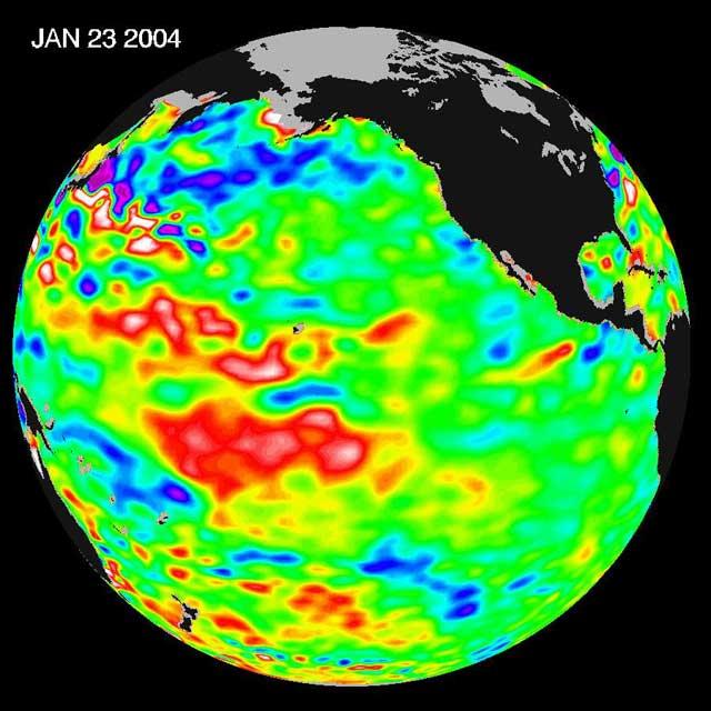
2004-01-30 |
Earth
|
Jason-1
|
Altimeter
|
640x640x3 |
|
-
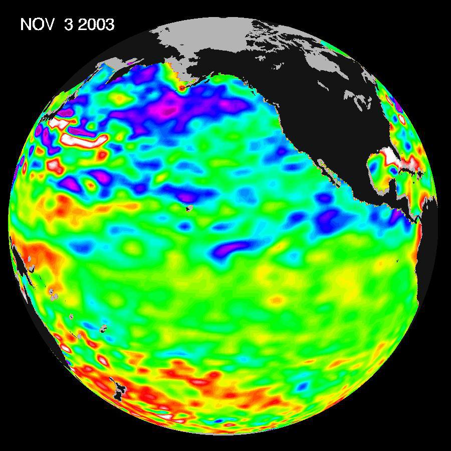
PIA05071:
-
Pacific Dictates Droughts and Drenchings
Full Resolution:
TIFF
(904.6 kB)
JPEG
(59.93 kB)
|
|
|
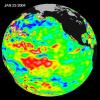
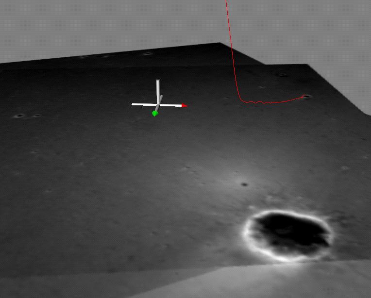
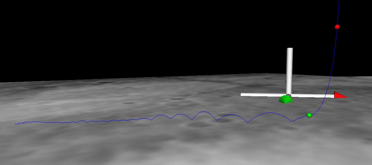
2004-01-23 |
Mars
|
Mars Exploration Rover (MER)
|
Descent Image Motion Estimation System (DIMES)
|
1190x528x3 |
|
-
PIA05132:
-
Bouncing Down to Mars
Full Resolution:
TIFF
(1.885 MB)
JPEG
(36.98 kB)
|
|
|
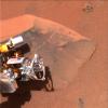
2004-01-23 |
Mars
|
Mars Global Surveyor (MGS)
Mars Exploration Rover (MER)
|
Descent Image Motion Estimation System (DIMES)
Mars Orbiter Camera (MOC)
Panoramic Camera
|
640x480x1 |
|
-
PIA05131:
-
Spirit Lightens the Load
Full Resolution:
TIFF
(302.4 kB)
JPEG
(32.79 kB)
|
|
|
2004-01-21 |
Earth
|
Terra
|
MISR
|
2574x2766x3 |
|
-
PIA04350:
-
Hazy and Dusty Skies over Western Africa
Full Resolution:
TIFF
(13.18 MB)
JPEG
(658.8 kB)
|
|
|
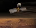
2003-12-10 |
|
Mars Reconnaissance Orbiter (MRO)
|
|
6125x4850x3 |
|
-
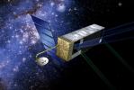
PIA04918:
-
Mars Reconnaissance Orbiter over Pole (Artist's Concept)
Full Resolution:
TIFF
(38.73 MB)
JPEG
(2.075 MB)
|
|
|
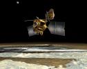
2003-12-10 |
|
Mars Reconnaissance Orbiter (MRO)
|
|
7000x5444x3 |
|
-
PIA04917:
-
Mars Reconnaissance Orbiter Aerobraking (Artist's Concept)
Full Resolution:
TIFF
(56.56 MB)
JPEG
(2.327 MB)
|
|
|
2003-12-10 |
|
Mars Reconnaissance Orbiter (MRO)
|
|
2825x2181x3 |
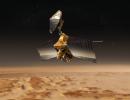
|
-
PIA04916:
-
Mars Reconnaissance Orbiter over Nilosyrtis (Artist's Concept)
Full Resolution:
TIFF
(9.027 MB)
JPEG
(522.2 kB)
|
|
|
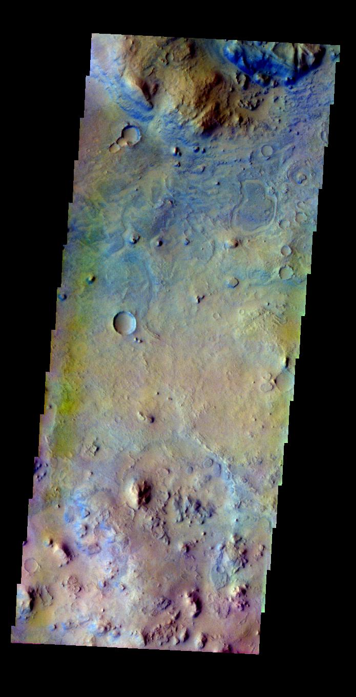
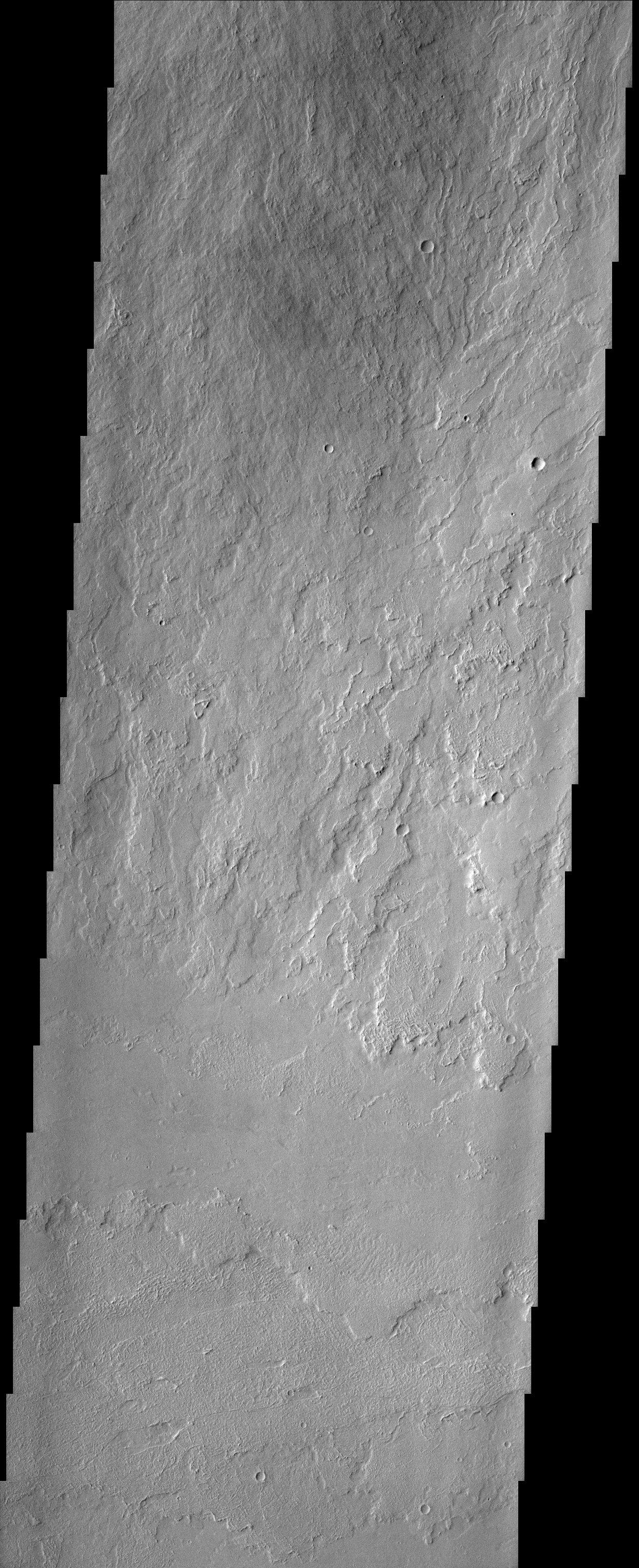
2003-11-24 |
Mars
|
Mars Global Surveyor (MGS)
|
Mars Orbiter Camera (MOC)
|
2048x3072x1 |
|
-
PIA04888:
-
Multiple-Event Gully
Full Resolution:
TIFF
(5.547 MB)
JPEG
(804.9 kB)
|
|
|
2003-11-18 |
Earth
|
Jason-1
|
Altimeter
|
900x900x3 |
|
-
PIA04878:
-
A Mostly Quiet Pacific
Full Resolution:
TIFF
(1.523 MB)
JPEG
(113.4 kB)
|
|
|
2003-10-16 |
Mars
|
2001 Mars Odyssey
|
THEMIS
|
1239x3043x1 |
|
-
PIA04796:
-
A Diminutive Volcano
Full Resolution:
TIFF
(3.3 MB)
JPEG
(504.1 kB)
|
|
|
2003-10-14 |
Mars
|
2001 Mars Odyssey
|
THEMIS
|
1227x3025x1 |
|
-
PIA04786:
-
The Summit of Olympus Mons
Full Resolution:
TIFF
(2.848 MB)
JPEG
(379.7 kB)
|
|
|
2003-10-08 |
Mars
|
2001 Mars Odyssey
|
THEMIS
|
658x1293x3 |

|
-
PIA04778:
-
Mars in Color
Full Resolution:
TIFF
(1.936 MB)
JPEG
(132.9 kB)
|
|
|
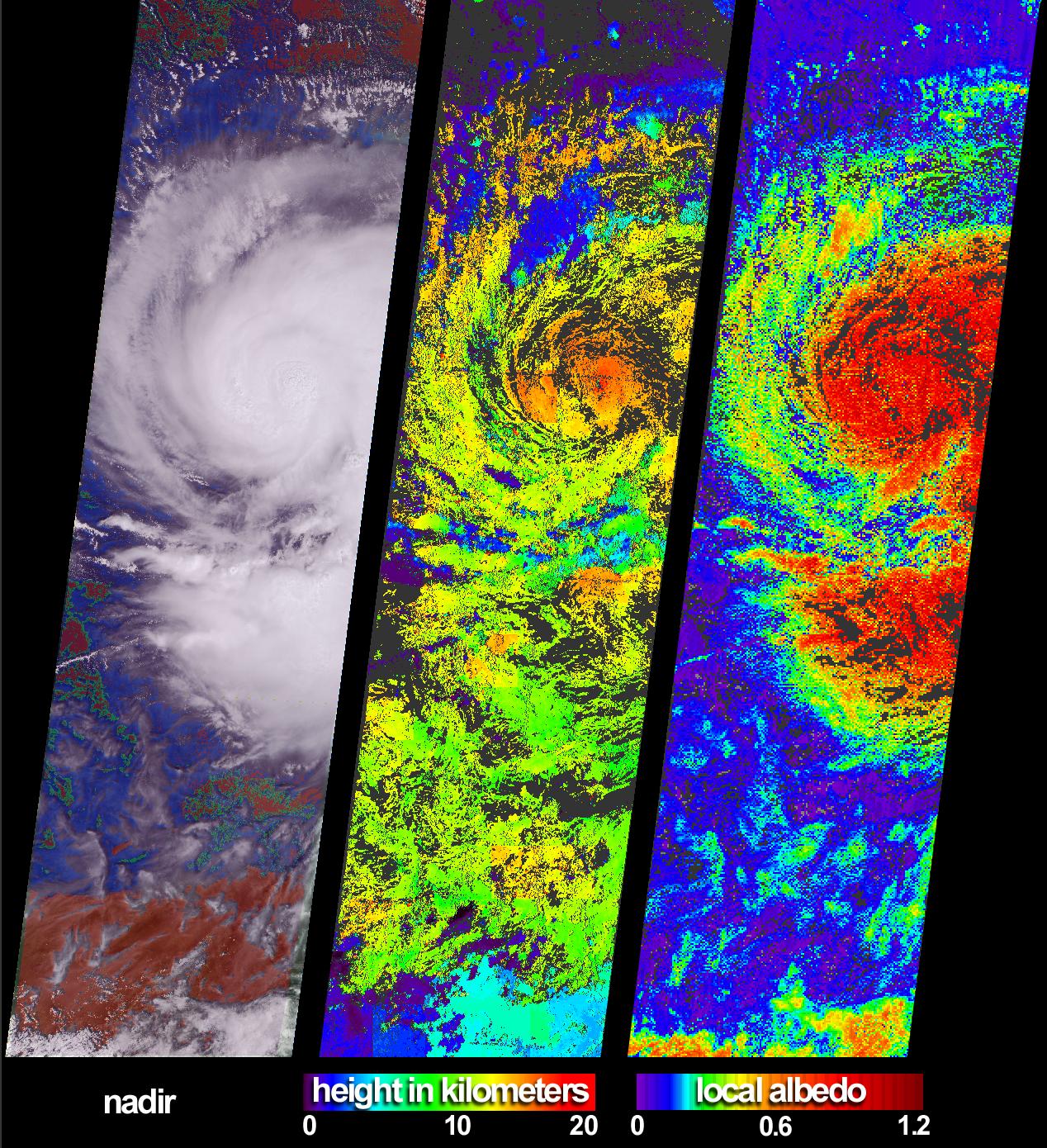
2003-09-18 |
Earth
|
Terra
|
MISR
|
1011x1115x3 |
|
-
PIA04339:
-
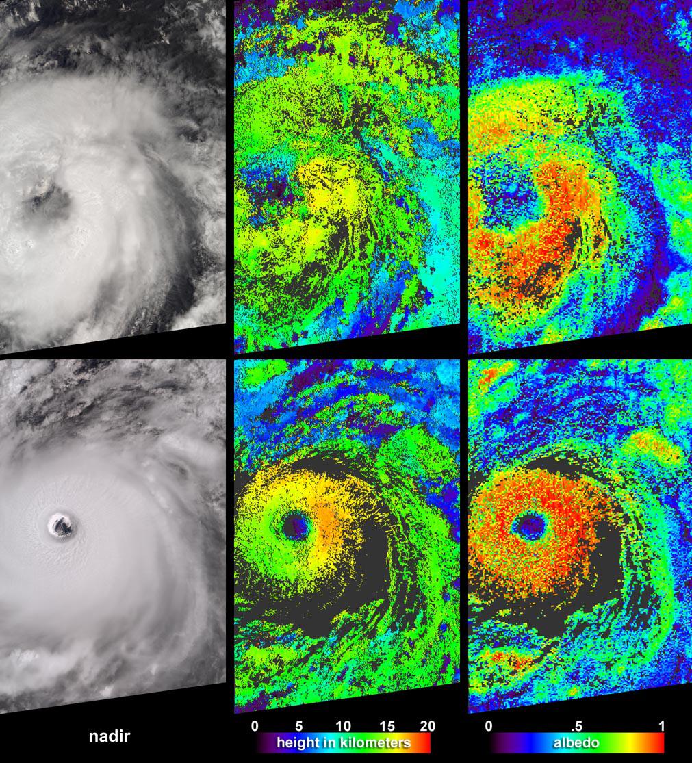
Aspects of Hurricane Isabel
Full Resolution:
TIFF
(3.386 MB)
JPEG
(348.3 kB)
|
|
|
2003-08-20 |
Mars
|
Mars Global Surveyor (MGS)
|
Mars Orbiter Camera (MOC)
|
837x1256x1 |
|
-
PIA04690:
-
South Polar Artwork
Full Resolution:
TIFF
(996.3 kB)
JPEG
(185.3 kB)
|
|
|
2003-07-25 |
|
Galaxy Evolution Explorer (GALEX)
|
GALEX Telescope
|
770x644x3 |
|
-
PIA04627:
-
Deep Imaging Survey
Full Resolution:
TIFF
(1.282 MB)
JPEG
(112.4 kB)
|
|
|
2003-06-20 |
|
Terrestrial Planet Finder
|
Infrared Coronagraph
Infrared Interferometer
Visible Light Coronagraph
|
2736x1836x3 |
|
-
PIA04499:
-
Proposed Missions - Terrestrial Planet Finder
Full Resolution:
TIFF
(15.07 MB)
JPEG
(636.1 kB)
|
|
|
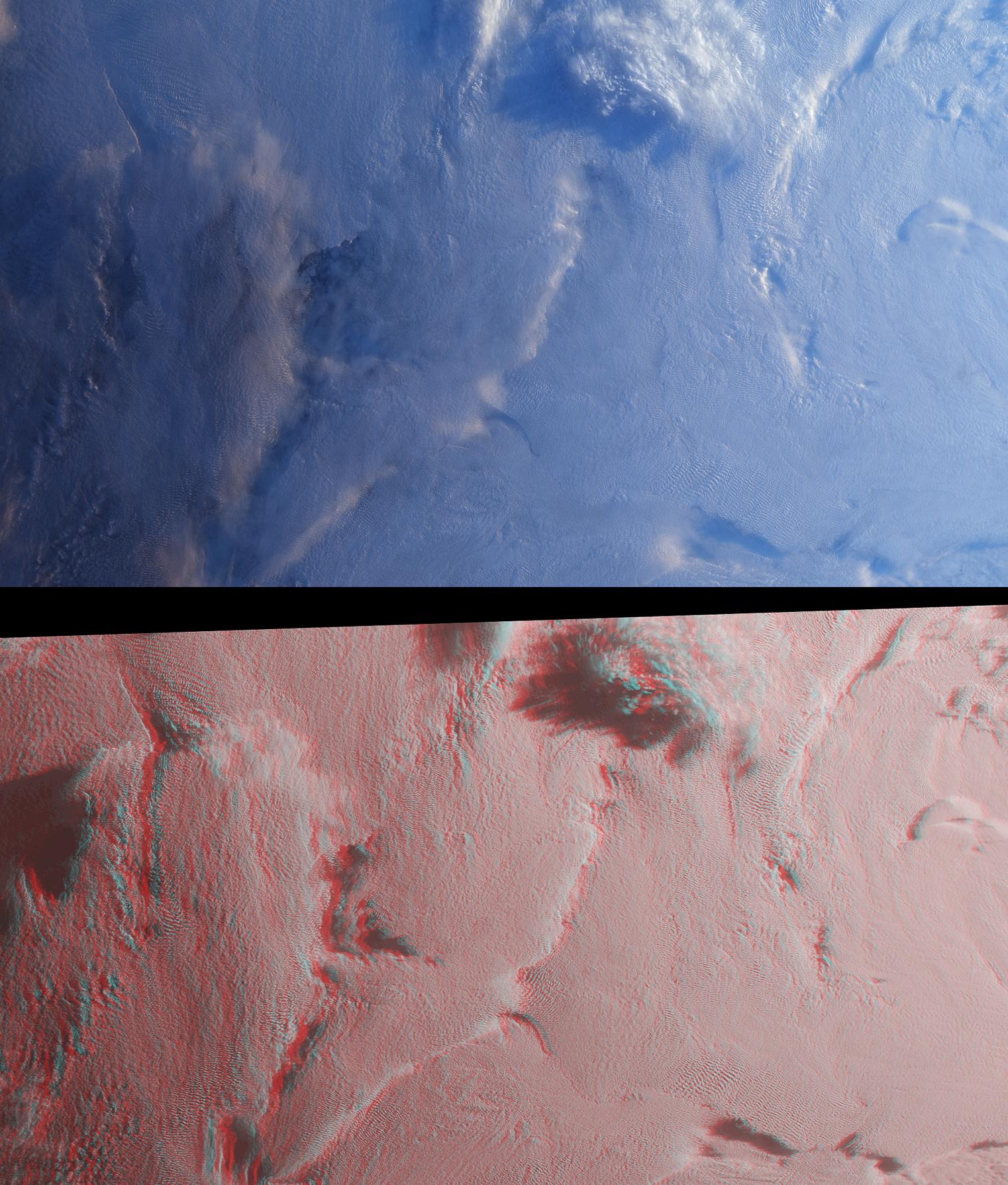
2003-06-19 |
Earth
|
Shuttle Radar Topography Mission (SRTM)
|
C-Band Interferometric Radar
|
7200x10886x3 |
|
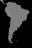
-
PIA03389:
-
Anaglyph, South America
Full Resolution:
TIFF
(50.13 MB)
JPEG
(6.633 MB)
|
|
|
2003-06-19 |
Earth
|
Shuttle Radar Topography Mission (SRTM)
|
C-Band Interferometric Radar
|
7200x10886x3 |
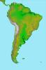
|
-
PIA03388:
-
South America, Shaded Relief and Colored Height
Full Resolution:
TIFF
(69.52 MB)
JPEG
(8.202 MB)
|
|
|
2003-06-04 |
Earth
|
Terra
|
MISR
|
1466x896x3 |
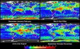
|
-
PIA04333:
-
Global and Seasonal Aerosol Distributions from MISR
Full Resolution:
TIFF
(3.079 MB)
JPEG
(530.4 kB)
|
|
|
2003-05-21 |
Earth
|
Terra
|
MISR
|
794x858x3 |

|
-
PIA04331:
-
Oil Slicks on Lake Maracaibo, Venezuela
Full Resolution:
TIFF
(1.895 MB)
JPEG
(115.7 kB)
|
|
|
2003-05-07 |
Earth
|
Terra
|
MISR
|
2476x2291x3 |

|
-
PIA04329:
-
Multi-layer Clouds Over the South Indian Ocean
Full Resolution:
TIFF
(17.04 MB)
JPEG
(975 kB)
|
|
|
2003-03-06 |
Mars
|
2001 Mars Odyssey
|
THEMIS
|
1239x3043x1 |

|
-
PIA04435:
-
Memnonia Sulci
Full Resolution:
TIFF
(3.632 MB)
JPEG
(743 kB)
|
|
|
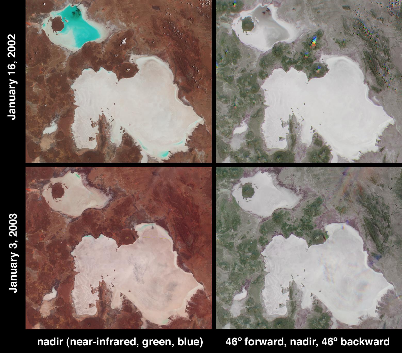
2003-01-08 |
Earth
|
Terra
|
MISR
|
1559x1368x3 |
|
-
PIA03749:
-
Salt Playas of the Bolivian Altiplano
Full Resolution:
TIFF
(5.821 MB)
JPEG
(270.9 kB)
|
|
|
2003-01-08 |
Earth
|
Terra
|
ASTER
|
1914x1960x3 |
|
-
PIA03893:
-
Anti-Atlas Mountains, Morocco
Full Resolution:
TIFF
(11.27 MB)
JPEG
(1.133 MB)
|
|
|
2003-01-02 |
Earth
|
Terra
|
MISR
|
1522x1789x3 |
|
-
PIA03748:
-
Stratified Arctic Clouds
Full Resolution:
TIFF
(8.183 MB)
JPEG
(436.8 kB)
|
|
|
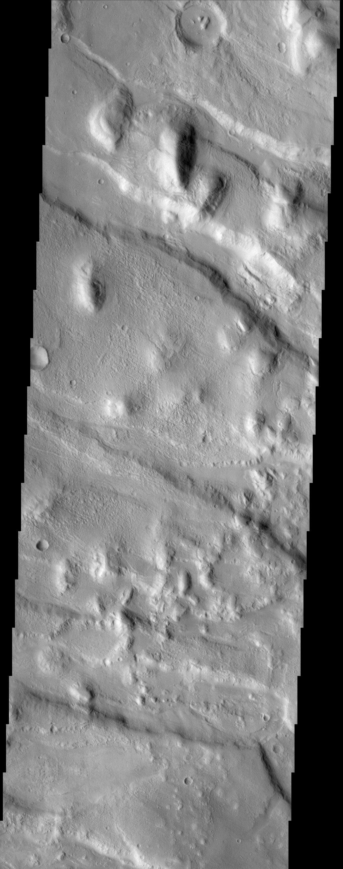
2002-12-19 |
Mars
|
2001 Mars Odyssey
|
THEMIS
|
1233x3025x1 |
|
-
PIA04063:
-
Olympus Mons Flows
Full Resolution:
TIFF
(3.498 MB)
JPEG
(842.2 kB)
|
|
|
2002-12-16 |
Mars
|
2001 Mars Odyssey
|
THEMIS
|
1189x3007x1 |
|
-
PIA04034:
-
Western Portion of Acheron Fossae
Full Resolution:
TIFF
(3.31 MB)
JPEG
(565.3 kB)
|
|
|
2002-12-13 |
Mars
|
2001 Mars Odyssey
|
THEMIS
|
1191x3007x1 |
|
-
PIA04021:
-
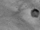
Impact Crater
Full Resolution:
TIFF
(2.815 MB)
JPEG
(420.6 kB)
|
|
|
2002-12-11 |
Earth
|
Terra
|
MISR
|
1260x1014x3 |
|
-
PIA03746:
-
Snowfall in Southern Appalachia
Full Resolution:
TIFF
(3.837 MB)
JPEG
(345.9 kB)
|
|
|
2002-12-04 |
Mars
|
2001 Mars Odyssey
|
THEMIS
|
1234x2989x1 |

|
-
PIA04019:
-
Ares Vallis Polygons
Full Resolution:
TIFF
(3.335 MB)
JPEG
(636.8 kB)
|
|
|
2002-11-20 |
Earth
|
Terra
|
MISR
|
2207x1900x3 |
|
-
PIA03734:
-
Clouds and Ice of the Lambert-Amery System, East Antarctica
Full Resolution:
TIFF
(10.41 MB)
JPEG
(737.3 kB)
|
|
|
2002-11-13 |
Earth
|
Terra
|
MISR
|
1079x984x3 |

|
-
PIA03733:
-
Multi-angle Portrayals of Mt. Etna's Plume
Full Resolution:
TIFF
(2.551 MB)
JPEG
(138.7 kB)
|
|
|
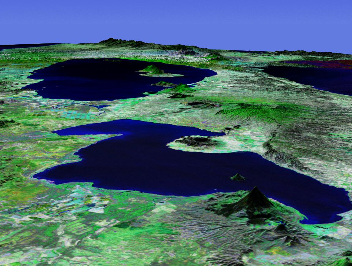
2002-10-25 |
Earth
|
Landsat
Shuttle Radar Topography Mission (SRTM)
|
C-Band Interferometric Radar
Thematic Mapper
|
1152x870x3 |
|
-
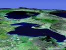
PIA03365:
-
Perspective View with Landsat Overlay, Lakes Managua and Nicaragua
Full Resolution:
TIFF
(2.87 MB)
JPEG
(172 kB)
|
|
|
2002-09-25 |
Earth
|
Terra
|
MISR
|
1268x1390x3 |
|
-
PIA03726:
-
The Clouds of Isidore
Full Resolution:
TIFF
(2.718 MB)
JPEG
(563.5 kB)
|
|
|
2002-09-11 |
Earth
|
Terra
|
MISR
|
682x730x3 |
|
-
PIA03724:
-
Typhoon Sinlaku
Full Resolution:
TIFF
(1.015 MB)
JPEG
(157.7 kB)
|
|
|
2002-08-21 |
Earth
|
Terra
|
MISR
|
1964x2808x3 |
|
-
PIA03721:
-
MISR Global Images See the Light of Day
Full Resolution:
TIFF
(10.38 MB)
JPEG
(910.9 kB)
|
|
|
2002-08-07 |
Mars
|
Mars Global Surveyor (MGS)
|
Mars Orbiter Camera (MOC)
|
1024x914x1 |
|
-
PIA03916:
-
Gullies in a Crater Wall in Newton Basin:
Full Resolution:
TIFF
(836.3 kB)
JPEG
(146.6 kB)
|
|
|
2002-07-24 |
Earth
|
Terra
|
MISR
|
1811x2182x3 |
|
-
PIA03717:
-
Distinguishing Clouds from Ice over the East Siberian Sea, Russia
Full Resolution:
TIFF
(5.682 MB)
JPEG
(565.9 kB)
|
 Planetary Data System


