|
Your search criteria found 3151 images Feature Name |
| My List |
Addition Date |
Target
|
Mission | Instrument | Size |

|
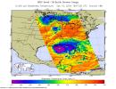
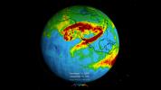
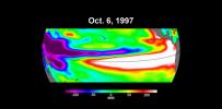
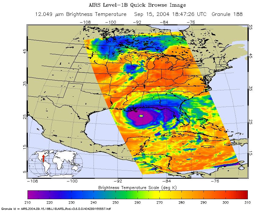
2004-09-15 | Earth |
Aqua |
AIRS |
900x695x3 |
|
|||||
|
|
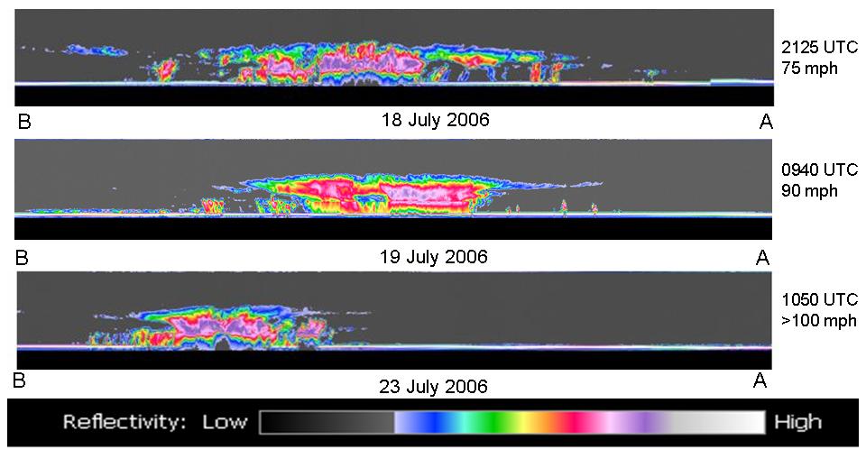
2006-07-25 | Earth |
CloudSat |
Cloud Profiling Radar (CPR) |
960x498x3 |

|
|||||
|
|
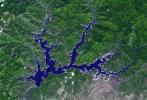
2006-09-06 | Earth |
Terra |
MISR |
3882x1486x3 |
|
|||||
|
|
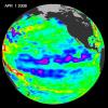
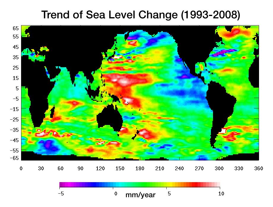
2008-04-22 | Earth |
Jason-1 |
Altimeter |
900x900x3 |
|
|||||
|
|
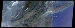
2008-02-19 | Earth |
Terra |
ASTER |
1607x1480x3 |
|
|||||
|
|
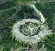
2008-02-29 | Earth |
Terra |
ASTER |
1666x1772x3 |
|
|||||
|
|
2008-06-30 | Earth |
Terra |
ASTER |
3858x2484x3 |
|
|||||
|
|
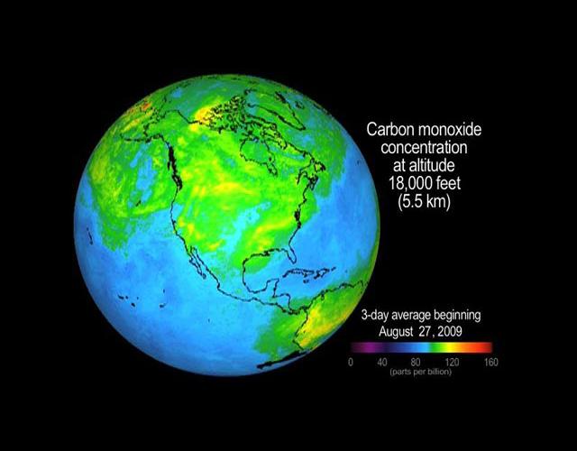
2008-07-22 | Earth |
Aqua |
AIRS |
1026x577x3 |
|
|||||
|
|
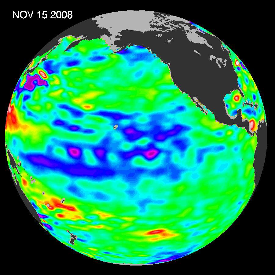
2008-07-31 | Earth |
Jason-1 |
Altimeter |
919x699x3 |
|
|||||
|
|
2008-12-13 | Earth |
Jason-1 |
Altimeter |
900x900x3 |
|
|||||
|
|
2009-04-01 | Earth |
Shuttle Radar Topography Mission (SRTM) |
C-Band Radar |
1250x1440x1 |
|
|||||
|
|
2009-09-04 | Earth |
Aqua |
AIRS |
640x500x3 |
|
|||||
|
|
2009-10-01 | Earth |
Shuttle Radar Topography Mission (SRTM) |
C-Band Radar X-Band Radar |
2304x1533x3 |
|
|||||
|
|
2010-01-14 | Earth |
Shuttle Radar Topography Mission (SRTM) |
C-Band Radar X-Band Radar |
7900x4200x3 |
|
|||||
|
|
2010-01-14 | Earth |
Shuttle Radar Topography Mission (SRTM) |
C-Band Radar X-Band Radar |
6001x1201x3 |
|
|||||
|
|
2010-01-14 | Earth |
Shuttle Radar Topography Mission (SRTM) |
C-Band Radar X-Band Radar |
2715x1522x3 |
|
|||||
|
|
2010-03-16 | Earth |
OSTM/Jason-2 |
Altimeter |
900x900x3 |
|
|||||
|
|
2010-04-16 | Earth |
Terra |
MODIS |
3780x2328x3 |
|
|||||
|
|
2010-05-27 | Earth |
AVIRIS |
324x523x3 | |

|
|||||
|
|
2010-07-01 | Earth |
UAVSAR |
L-Band UAVSAR |
1280x720x3 |
|
|||||
|
|
2010-07-07 | Earth |
GRACE |
K-Band Ranging System |
777x745x3 |

|
|||||
|
|
2010-06-23 | Earth |
UAVSAR |
L-Band UAVSAR |
3864x2640x3 |
|
|||||
|
|
2010-10-25 | Earth |
Aerosol-Cloud-Ecosystem (ACE) |
AirMSPI |
1053x380x3 |
|
|||||
|
|
2011-03-04 | Earth |
UAVSAR |
L-Band UAVSAR |
20528x6304x3 |
|
|||||
|
|
2011-03-20 | Earth |
Terra |
MISR |
613x646x3 |
|
|||||
|
|
2011-08-03 | Earth |
Terra |
MISR |
952x727x3 |
|
|||||
|
|
2011-07-29 | Earth |
Aqua |
AIRS |
927x1000x3 |
|
|||||
|
|
2012-04-30 | Earth |
Terra |
ASTER |
4000x2400x3 |
|
|||||
|
|
2012-06-12 | Earth |
Aquarius |
Aquarius |
3300x2550x3 |
|
|||||
|
|
2012-08-25 | Earth |
Terra |
ASTER |
2620x1850x3 |

|
|||||
|
|
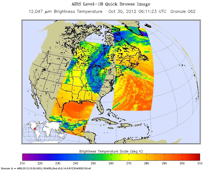
2012-10-30 | Earth |
Aqua |
AIRS |
900x695x3 |
|
|||||
|
|
2013-01-29 | Earth |
Terra |
ASTER |
4284x8520x3 |
|
|||||
|
|
2013-10-18 | Earth |
MESSENGER |
MDIS - Wide Angle |
1024x1024x1 |
|
|||||
|
|
2013-11-13 | Earth |
ARIA |
X-band interferometric synthetic aperture radar |
1623x956x3 |
|
|||||
|
|
2013-11-26 | Earth |
ARIA |
X-band Interferometric Synthetic Aperture Radar |
1916x780x3 |

|
|||||
|
|
2014-06-06 | Earth |
LDSD |
1280x720x3 | |
|
|||||
|
|
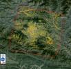
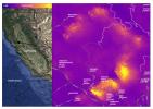
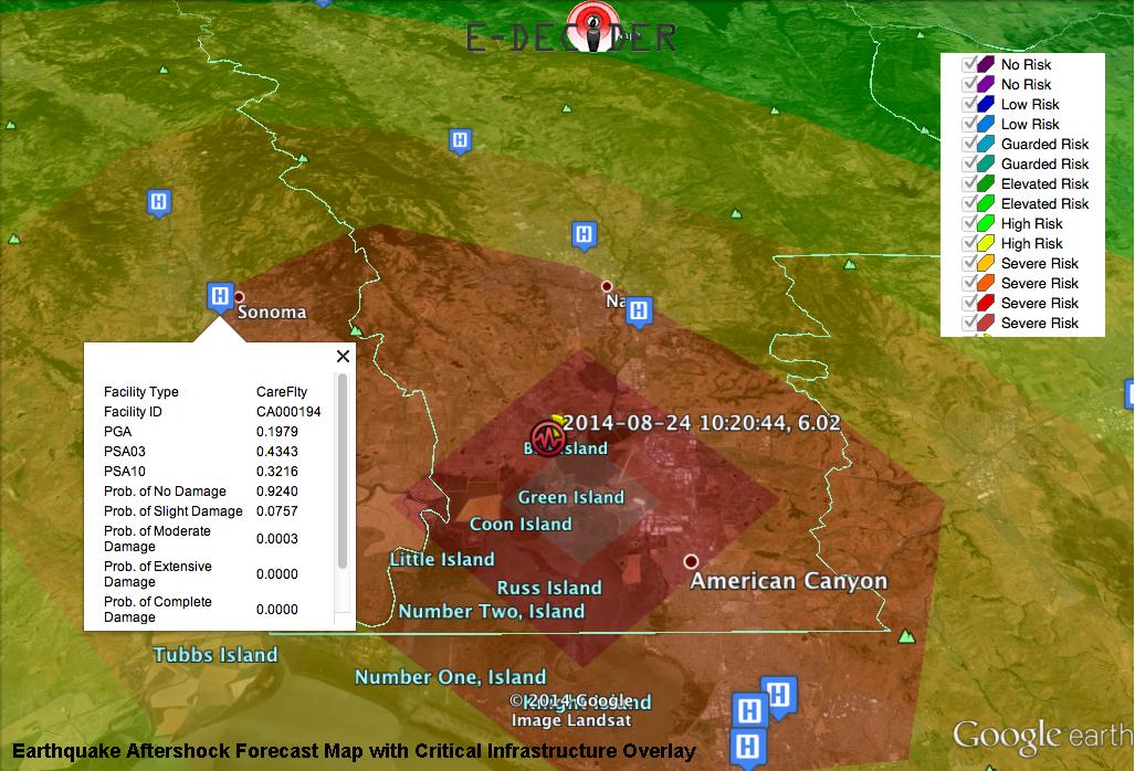
2014-09-03 | Earth |
E-DECIDER |
1027x698x3 | |

|
|||||
|
|
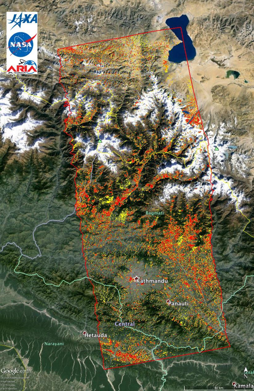
2014-09-04 | Earth |
ARIA |
X-band Interferometric Synthetic Aperture Radar |
2019x2004x3 |
|
|||||
|
|
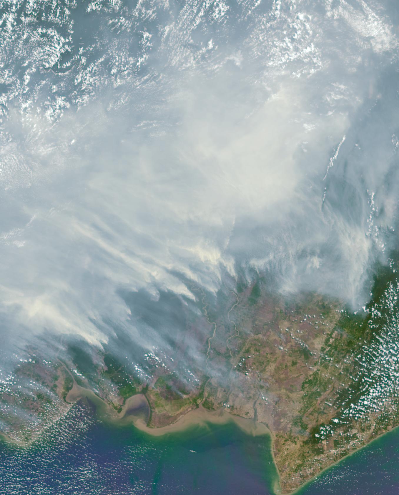
2015-06-17 | Earth |
Terra |
ASTER |
535x365x3 |
|
|||||
|
|
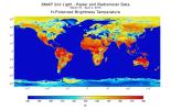
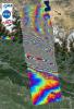
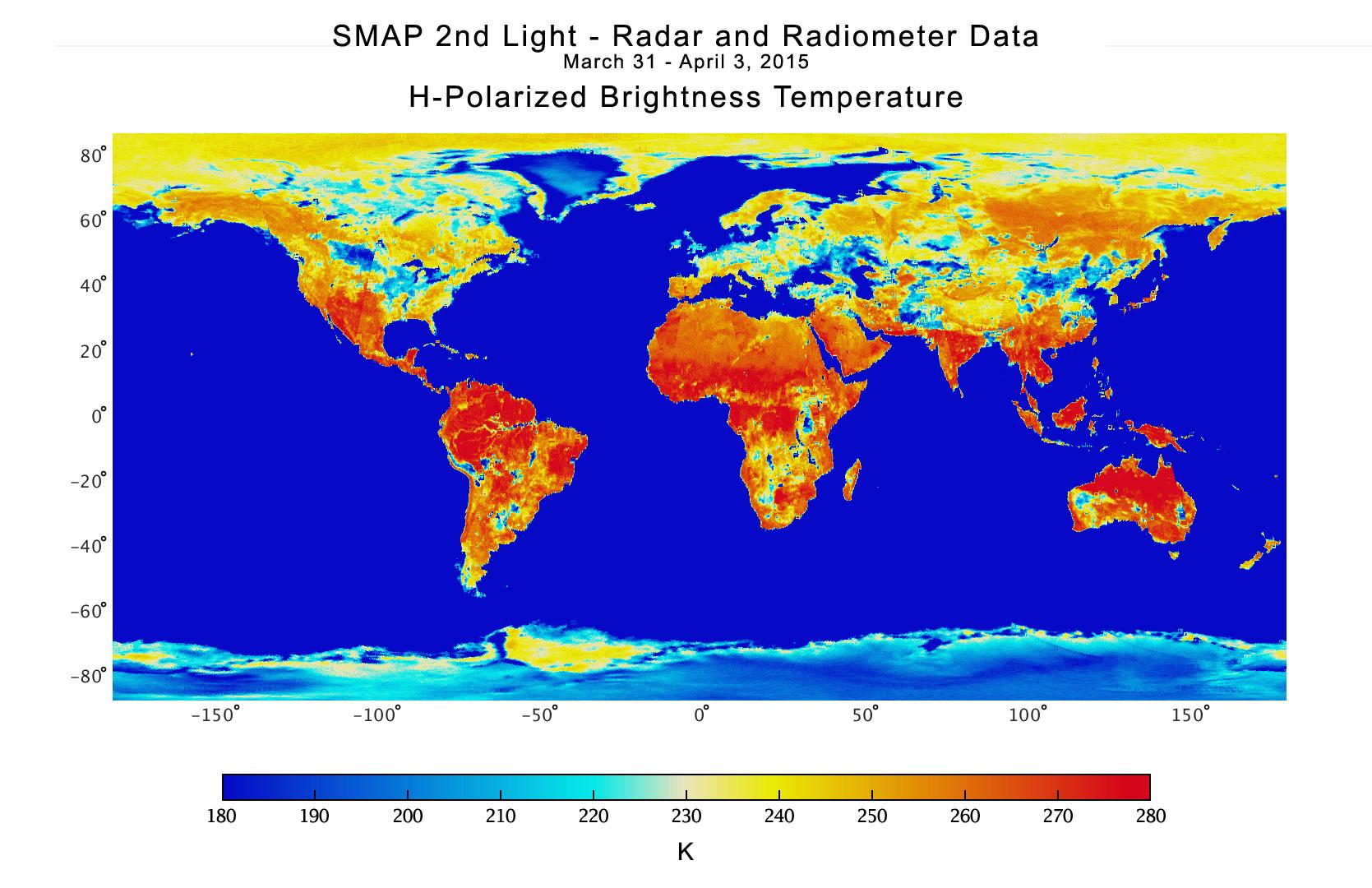
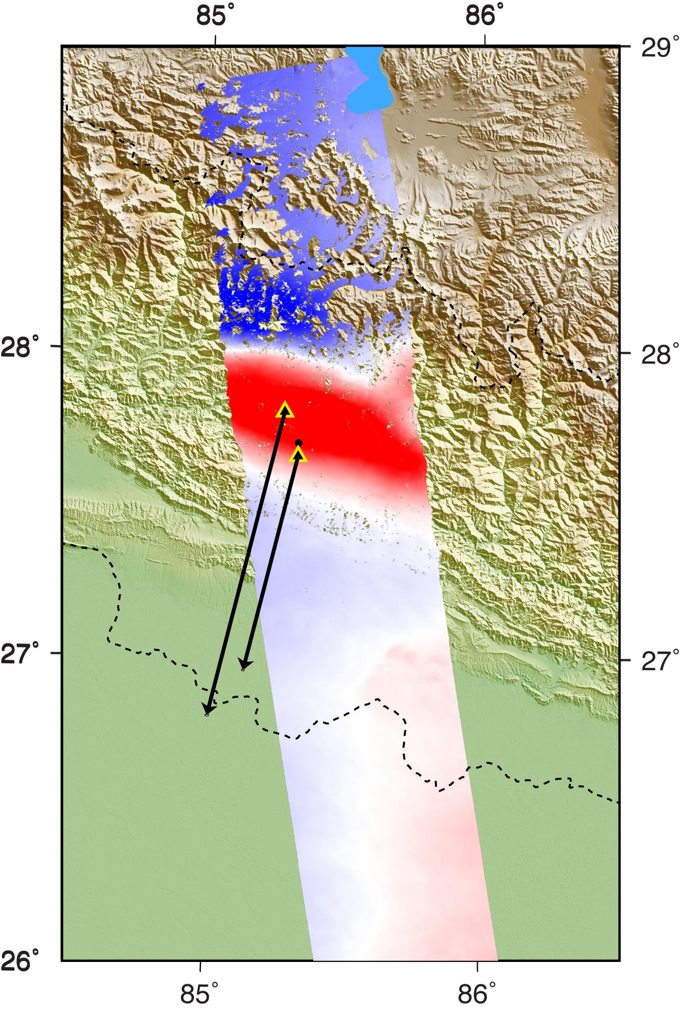
2015-04-21 | Earth |
SMAP |
1669x1080x3 | |
|
|||||
|
|
2015-05-01 | Earth |
ARIA |
X-band Interferometric Synthetic Aperture Radar |
1362x1320x3 |
|
|||||
|
|
2015-05-02 | Earth |
ARIA |
C-SAR Sensor |
2048x1152x3 |

|
|||||
|
|
2015-05-04 | Earth |
ARIA |
PALSAR-2 |
713x1047x3 |
|
|||||
|
|
2015-05-07 | Earth |
Aqua |
AIRS |
737x467x3 |
|
|||||
|
|
2015-05-07 | Earth |
ARIA |
PALSAR-2 |
1402x2048x3 |
|
|||||
|
|
2015-05-11 | Earth |
ARIA |
PALSAR-2 |
822x1263x3 |
|
|||||
|
|
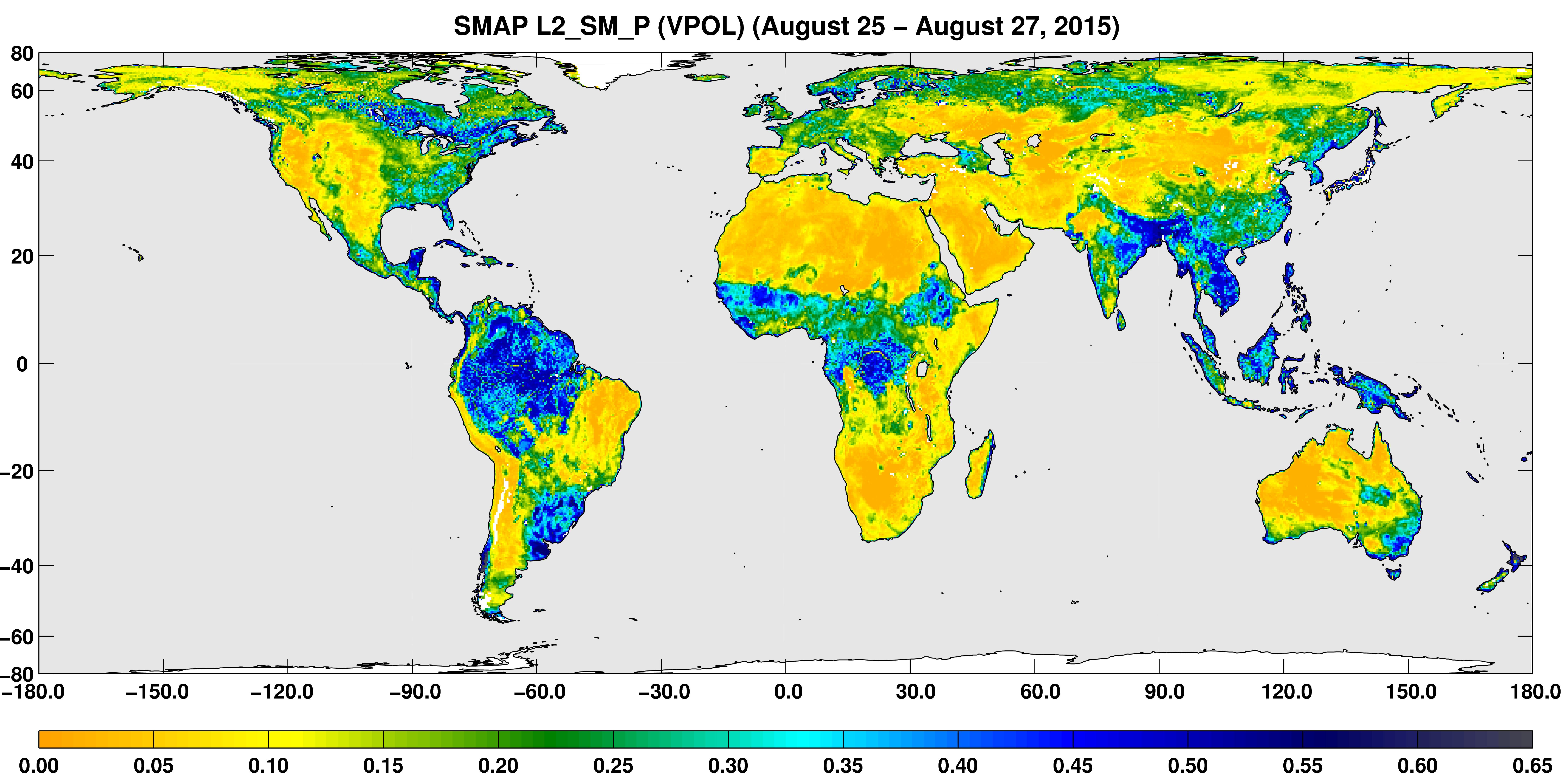
2015-09-02 | Earth |
SMAP |
7592x3775x3 | |
|
|||||
|
|
2015-10-08 | Earth |
SMAP |
1093x1153x3 | |
|
|||||
|
|
2015-10-21 | Earth |
Terra |
MISR |
1356x1682x3 |
|
|||||
|
|
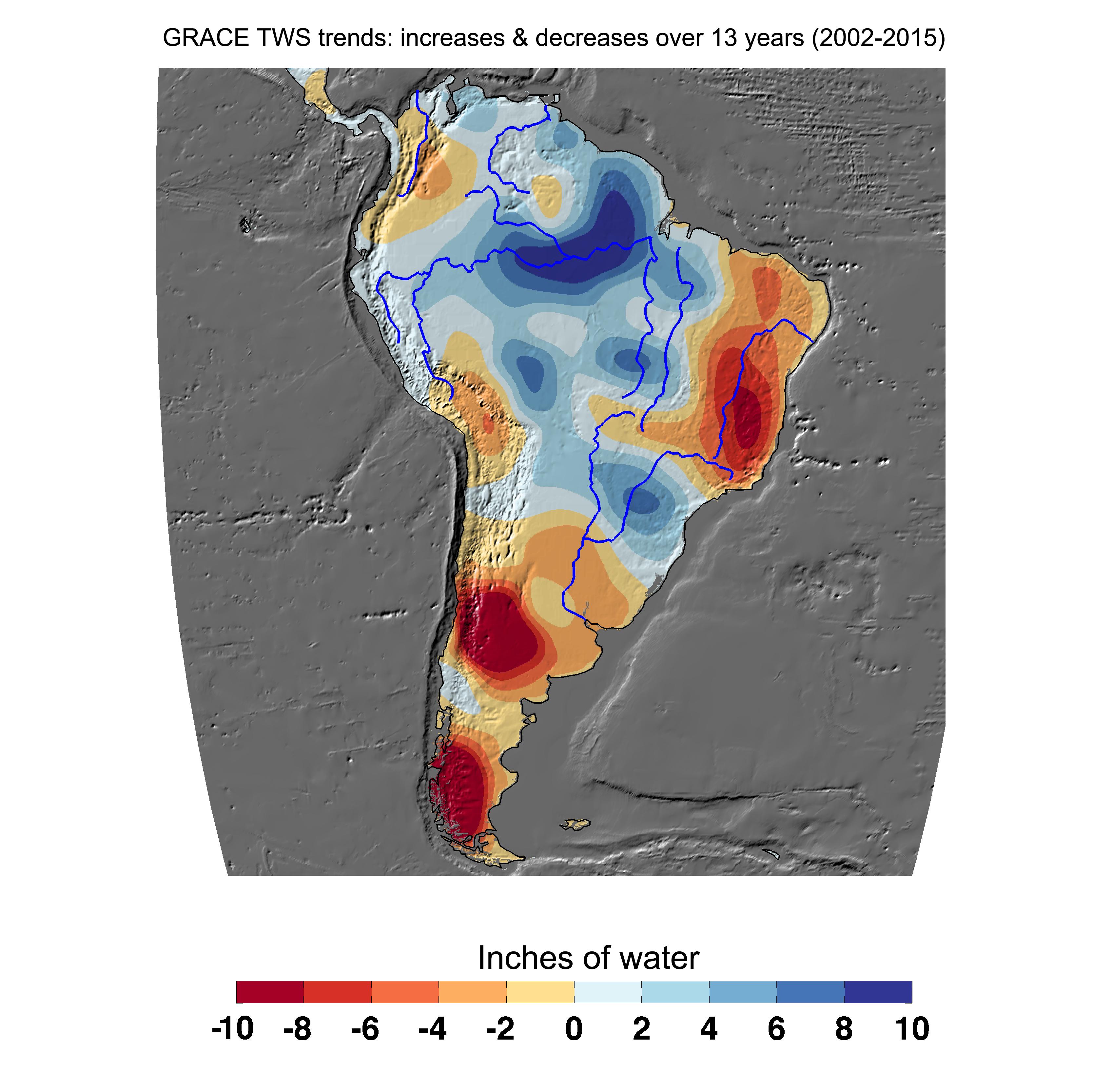
2015-12-08 | Earth |
GRACE |
K-Band Ranging System |
3335x3332x3 |
|
|||||
|
|
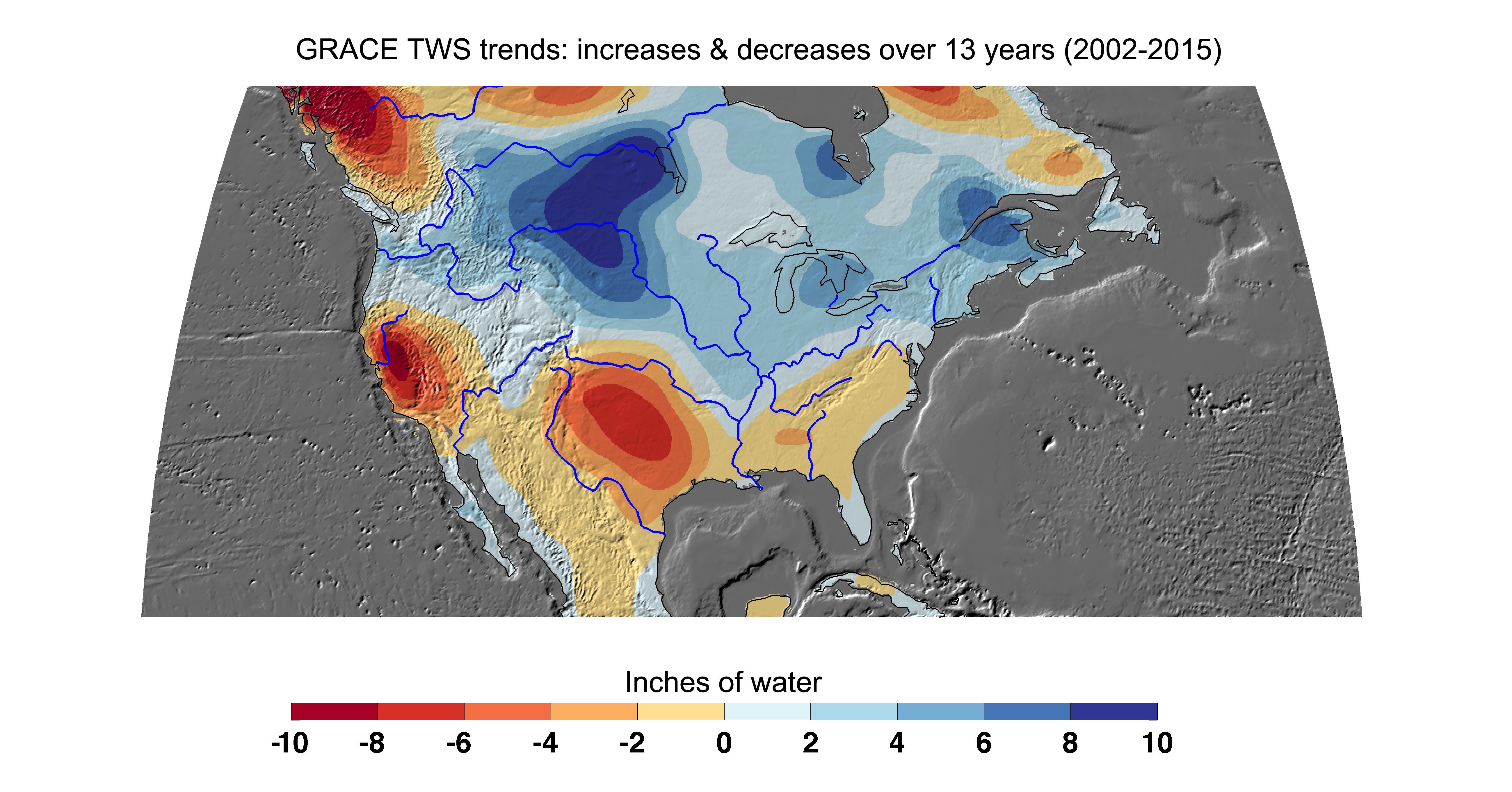
2015-12-08 | Earth |
GRACE |
K-Band Ranging System |
5198x2724x3 |
|
|||||
|
|
2016-01-20 | Earth |
Terra |
ASTER |
2532x2544x3 |

|
|||||
|
|
2016-01-21 | Earth |
RapidScat |
ISS-RapidScat |
1532x696x3 |
|
|||||
|
|
2016-01-25 | Earth |
RapidScat |
ISS-RapidScat |
751x479x3 |
|
|||||
|
|
2016-04-20 | Earth |
ARIA |
PALSAR-2 |
970x759x3 |

|
|||||
|
|
2016-05-11 | Earth |
Terra |
MISR |
3000x2223x3 |
|
|||||
|
|
2016-06-27 | Earth |
Earth Observing System (EOS) |
AVIRIS |
1019x1278x3 |
|
|||||
|
|
2016-07-01 | Earth |
Terra |
ASTER |
2200x2076x3 |
|
|||||
|
|
2016-07-08 | Earth |
Terra |
MISR |
1800x1536x3 |
|
|||||
|
|
2016-08-27 | Earth |
ARIA |
PALSAR-2 |
1002x1011x3 |

|
|||||
|
|
2016-08-31 | Earth |
ARIA |
668x675x3 | |
|
|||||
|
|
2016-09-01 | Earth |
ARIA |
1390x1231x3 | |

|
|||||
|
|
2016-10-05 | Earth |
ARIA |
1313x1164x3 | |
|
|||||
|
|
2016-11-16 | Earth |
ARIA |
1119x1289x3 | |

|
|||||
|
|
2017-03-23 | Earth |
ARIA |
PALSAR-2 |
4481x2682x3 |
|
|||||
|
|
2017-04-11 | Earth |
Terra |
MISR |
2240x3584x3 |
|
|||||
|
|
2017-09-20 | Earth |
ARIA |
1860x1896x3 | |
|
|||||
|
|
2017-10-23 | Earth |
Terra |
ASTER |
4098x4175x3 |
|
|||||
|
|
2018-02-21 | Earth | 3778x2234x3 | ||
|
|||||
|
|
2018-02-22 | Earth |
ARIA |
2850x2116x3 | |
|
|||||
|
|
2018-05-02 | Earth |
Terra |
MISR |
792x1019x3 |
|
|||||
|
|
2018-07-28 | Earth |
Terra |
ASTER |
1280x720x3 |
|
|||||
|
|
2019-03-28 | Earth |
Terra |
ASTER |
3202x3673x3 |
|
|||||
|
|
2019-07-11 | Earth |
ARIA |
1754x1959x3 | |
|
|||||
|
|
2019-11-05 | Earth |
ECOSTRESS |
720x715x3 | |
|
|||||
|
|
2020-04-10 | Earth |
Terra |
ASTER |
600x600x3 |
|
|||||
|
|
2020-09-14 | Earth |
Aqua |
AIRS |
1600x900x3 |
|
|||||
|
|
2020-10-02 | Earth |
ECOSTRESS |
1825x1894x3 | |

|
|||||
|
|
2021-08-17 | Earth |
ARIA |
2642x2072x3 | |
|
|||||
|
|
2021-08-24 | Earth |
Terra |
MISR |
4608x2817x3 |
|
|||||
|
|
2021-10-07 | Earth |
ECOSTRESS |
3507x2480x3 | |
|
|||||
|
|
2022-07-26 | Earth |
Terra |
MISR |
3500x1029x3 |
|
|||||
|
|
2022-08-04 | Earth |
ECOSTRESS |
3507x2480x3 | |
|
|||||
|
|
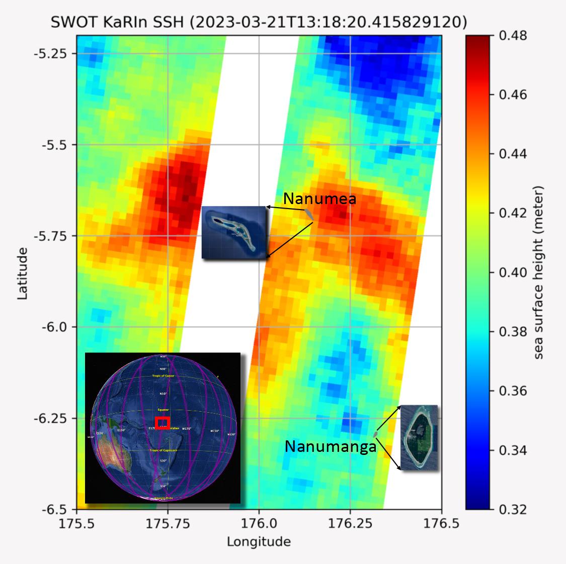
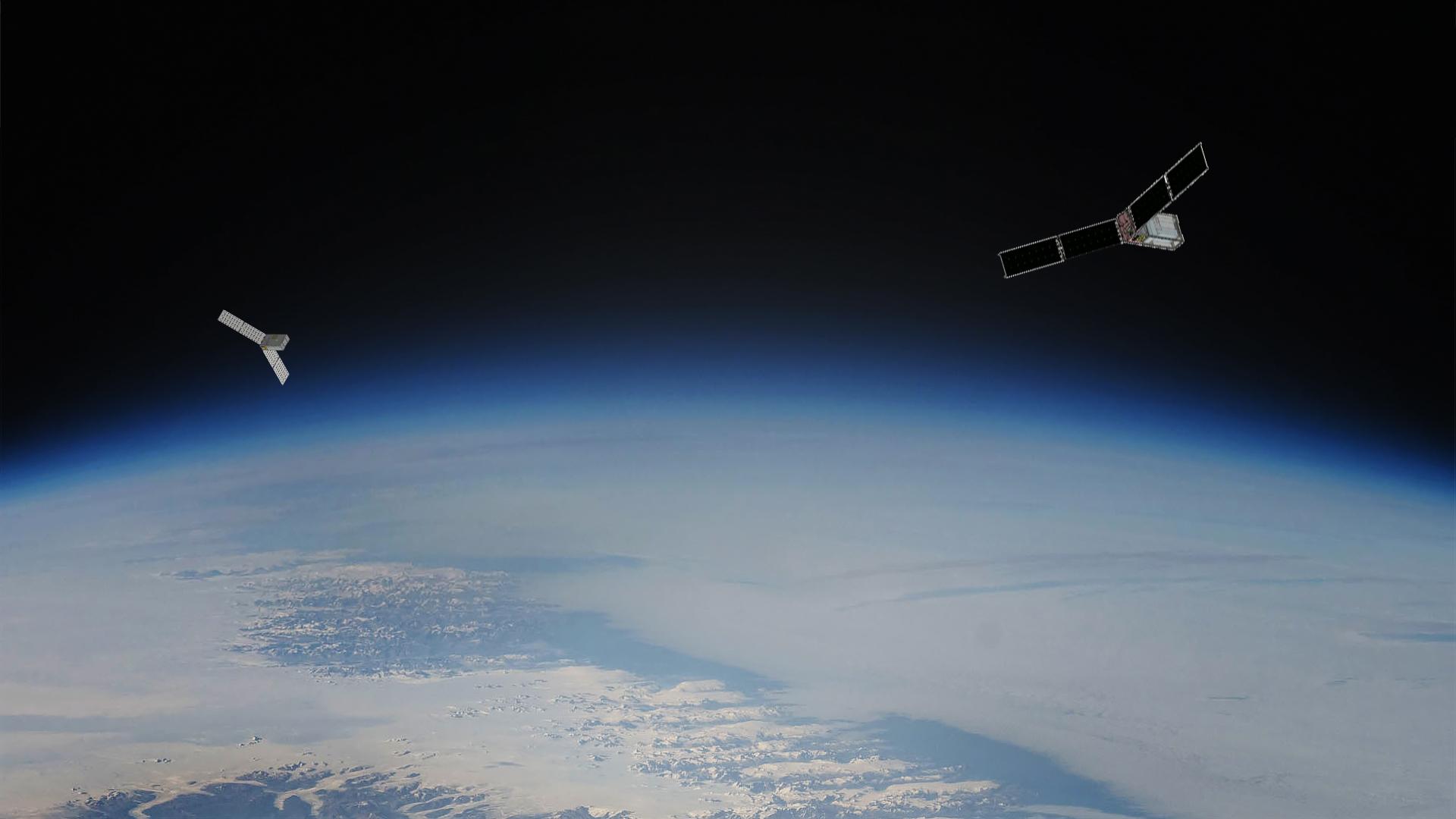
2022-11-14 | Earth |
Surface Water and Ocean Topography (SWOT) |
1920x1080x3 | |
|
|||||
|
|
2022-12-09 | Earth |
ARIA |
SAR |
3203x2451x3 |
|
|||||
|
|
2023-04-05 | Earth |
MODIS |
MODIS |
4579x2083x3 |
|
|||||
|
|
2023-04-05 | Earth |
MODIS |
MODIS |
2550x3300x3 |
|
|||||
|
|
2023-06-27 | Earth |
Surface Water and Ocean Topography (SWOT) |
1125x1122x3 | |
|
|||||
|
|
2023-08-14 | Earth |
Polar Radiant Energy in the Far-InfraRed Experiment (PREFIRE) |
1920x1080x3 | |
|
|||||
|
|
2023-10-18 | Earth |
Sentinel-6/Jason-CS |
1586x783x3 | |
|
|||||
|
|
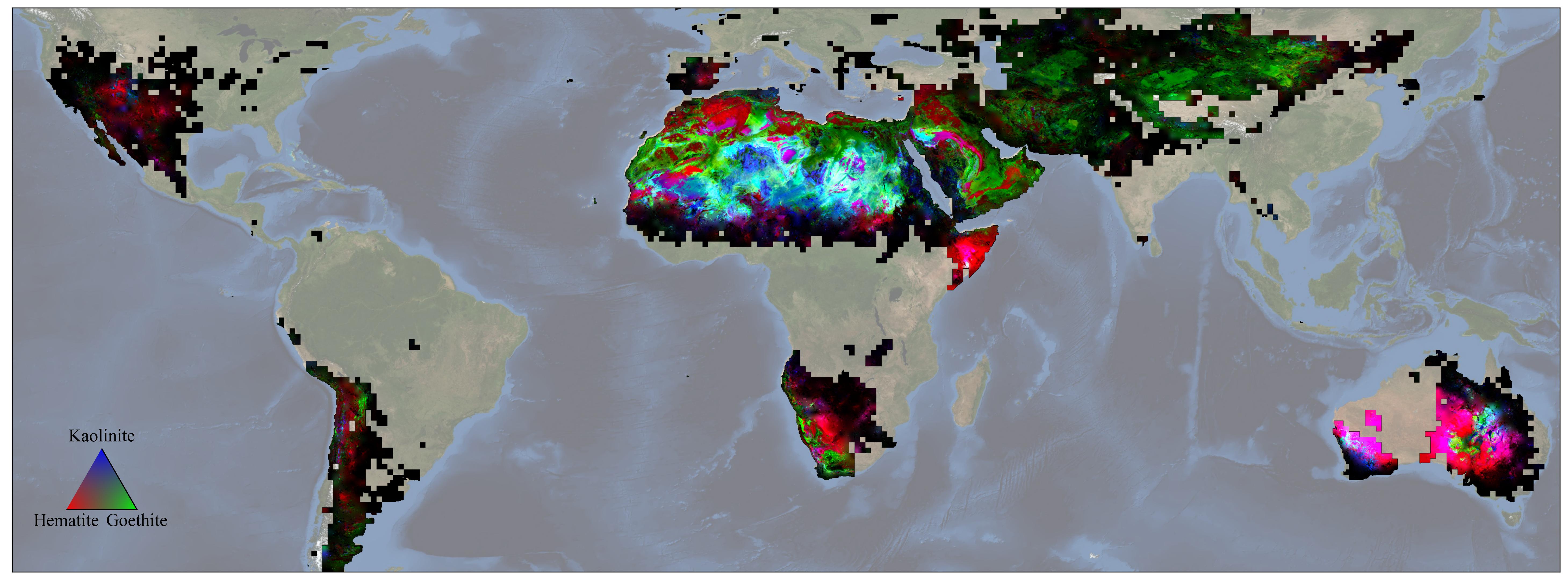
2023-12-11 | Earth |
Earth Surface Mineral Dust Source Investigation (EMIT) |
EMIT |
5836x2174x3 |
|
|||||
|
|
2024-01-17 | Earth |
Landsat |
1440x960x3 | |
|
|||||
|
|
2024-01-17 | Earth |
Landsat |
1440x1100x3 | |
|
|||||
|
|
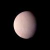
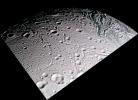
1999-03-23 | Enceladus |
Voyager |
VG ISS - Narrow Angle |
1000x1000x3 |
|
|||||
|
|
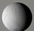
2005-02-18 | Enceladus |
Cassini-Huygens |
ISS - Narrow Angle |
774x1020x3 |
|
|||||
|
|
2005-02-18 | Enceladus |
Cassini-Huygens |
ISS - Narrow Angle |
775x1020x1 |
|
|||||
|
|
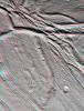
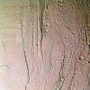
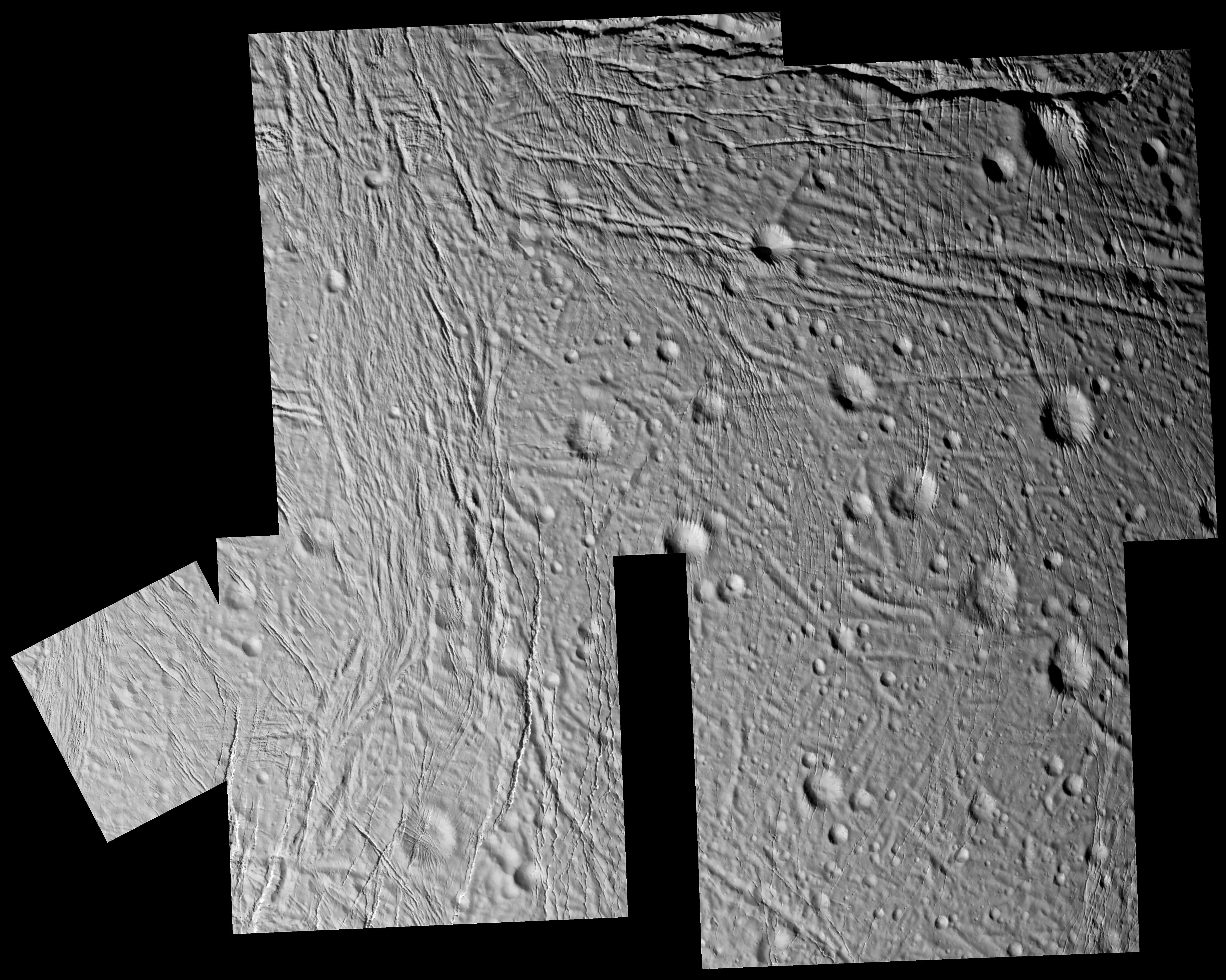
2005-03-16 | Enceladus |
Cassini-Huygens |
ISS - Narrow Angle |
5936x4744x1 |
|
|||||
|
|
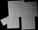
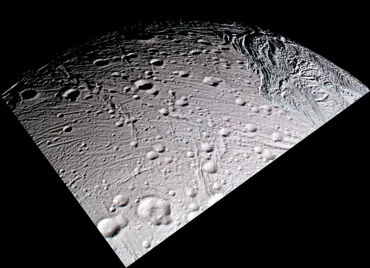
2005-03-16 | Enceladus |
Cassini-Huygens |
ISS - Narrow Angle |
1240x900x3 |
|
|||||
|
|
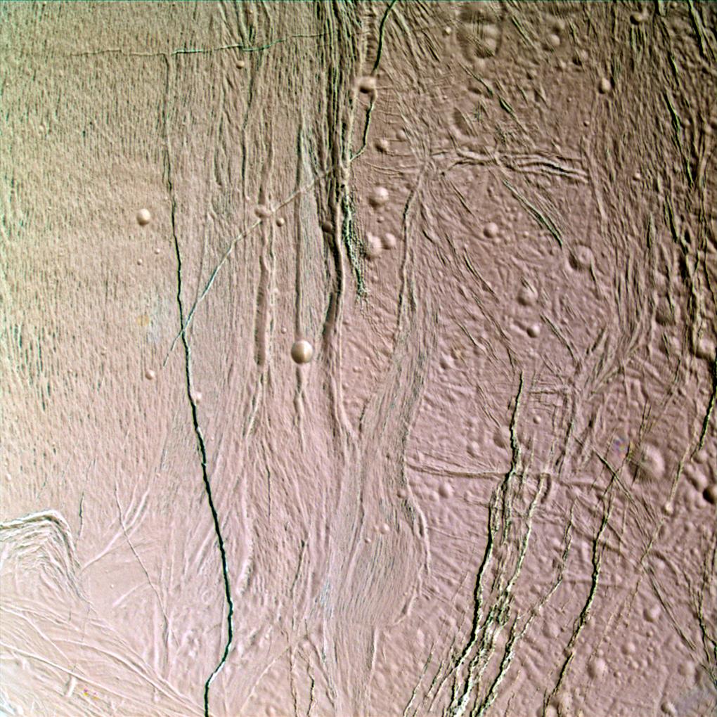
2005-03-16 | Enceladus |
Cassini-Huygens |
ISS - Narrow Angle |
1013x930x3 |
|
|||||
|
|
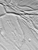
2005-03-16 | Enceladus |
Cassini-Huygens |
ISS - Narrow Angle |
1020x1020x3 |
|
|||||

|
 |
|
|
 |
 |
|
|
|
|
|

|
| 1-100 | 101-200 | 201-300 | 301-400 | 401-500 | 501-600 | 601-700 | 701-800 | 801-900 | 901-1000 |
| Currently displaying images: 301 - 400 of 3151 |