|
Your search criteria found 3149 images Feature Name |
| My List |
Addition Date | Target | Mission |
Instrument
|
Size |

|
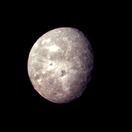
1996-01-29 | Oberon |
Voyager |
500x500x3 | |

|
|||||
|
|
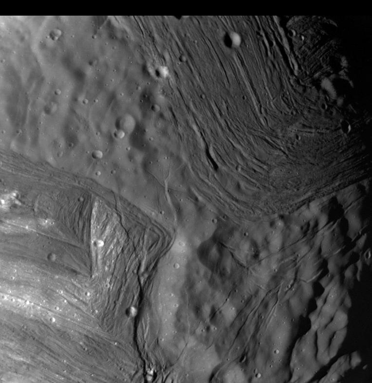
1996-01-29 | Miranda |
Voyager |
764x785x1 | |
|
|||||
|
|
1996-01-29 | Neptune |
Voyager |
330x330x1 | |
|
|||||
|
|
1996-01-29 | Triton |
Voyager |
1000x1000x1 | |

|
|||||
|
|
1996-09-19 | Mercury |
Mariner Venus Mercury (Mariner 10) |
9999x4000x1 | |
|
|||||
|
|
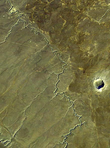
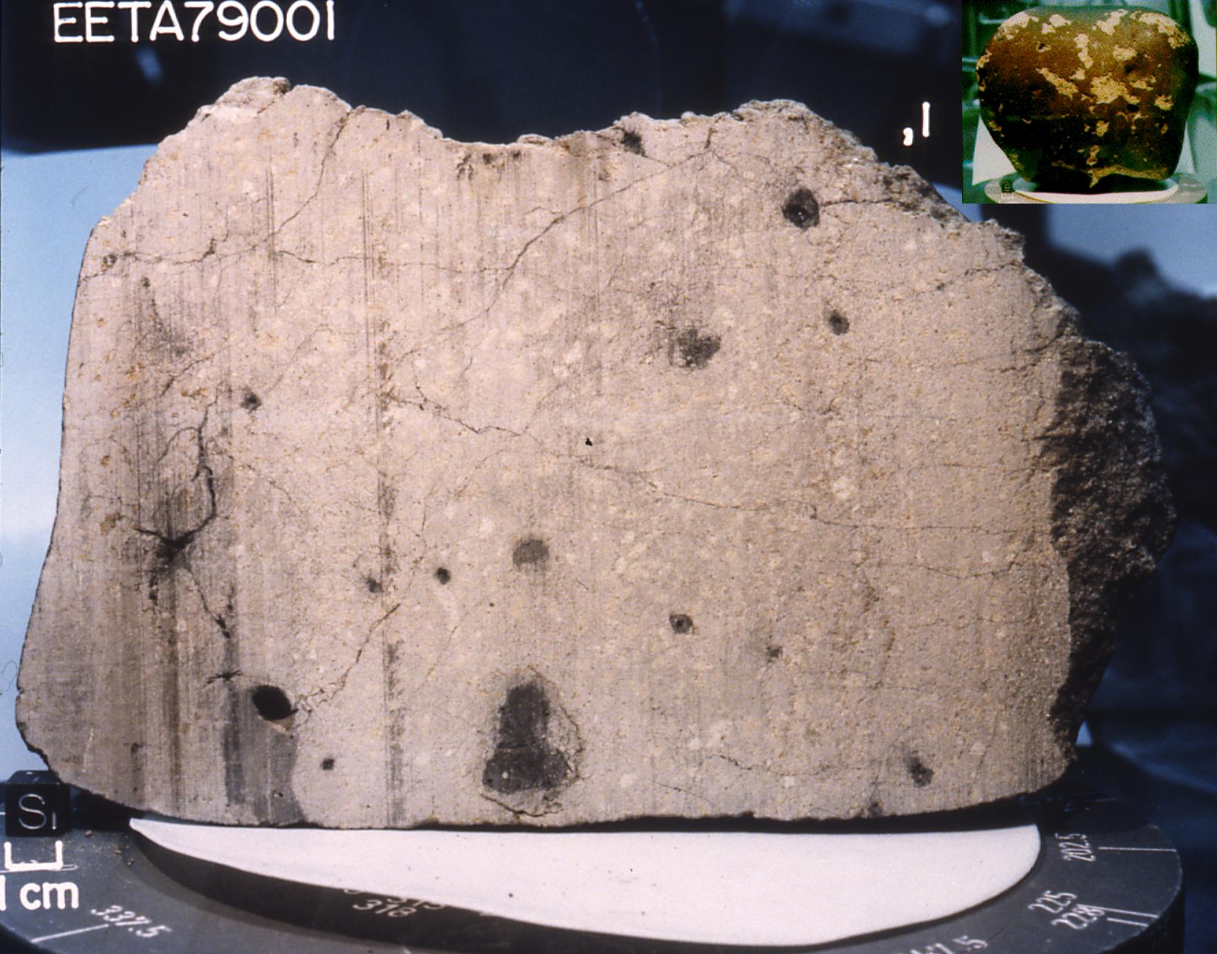
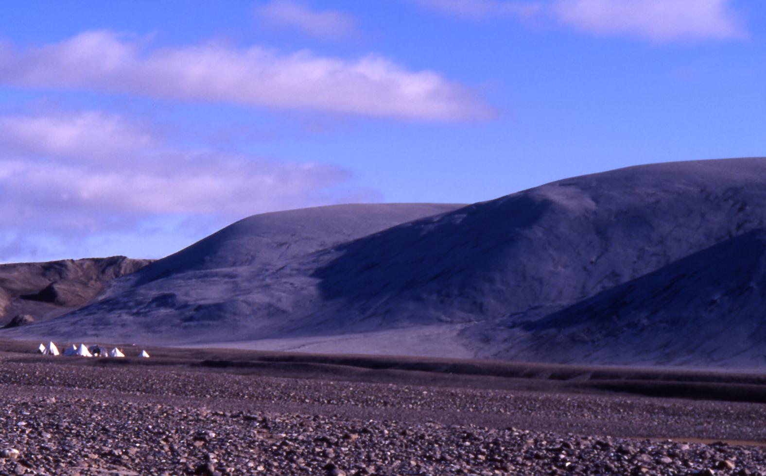
1996-08-08 | Mars |
Antarctic Meteorite Location and Mapping Project (AMLAMP) |
722x564x3 | |
|
|||||
|
|
1998-06-08 | Moon |
Galileo |
3053x3053x3 | |
|
|||||
|
|
1998-06-08 | Moon |
Galileo |
1986x1986x3 | |

|
|||||
|
|
1998-06-08 | Mars |
Viking |
6787x6787x3 | |
|
|||||
|
|
1998-06-08 | Mars |
Viking |
1438x973x3 | |
|
|||||
|
|
1998-06-08 | Mars |
Viking |
1109x952x3 | |
|
|||||
|
|
1998-06-08 | Mars |
Viking |
1264x632x3 | |
|
|||||
|
|
1998-06-08 | Mars |
Viking |
1265x2696x3 | |
|
|
|||||
|
|
1998-06-08 | Mars |
Viking |
8292x6485x3 | |

|
|||||
|
|
1998-06-08 | Mars |
Viking |
2962x2741x3 | |
|
|||||
|
|
1998-06-08 | Mars |
Viking |
6002x6388x3 | |
|
|||||
|
|
1998-06-08 | Mars |
Viking |
318x981x3 | |
|
|
|||||
|
|
1998-06-08 | Mars |
Viking |
3220x1956x3 | |
|
|||||
|
|
1998-06-08 | Mars |
Viking |
3194x2769x3 | |
|
|||||
|
|
1998-06-08 | Mars |
Viking |
14000x6800x3 | |
|
|||||
|
|
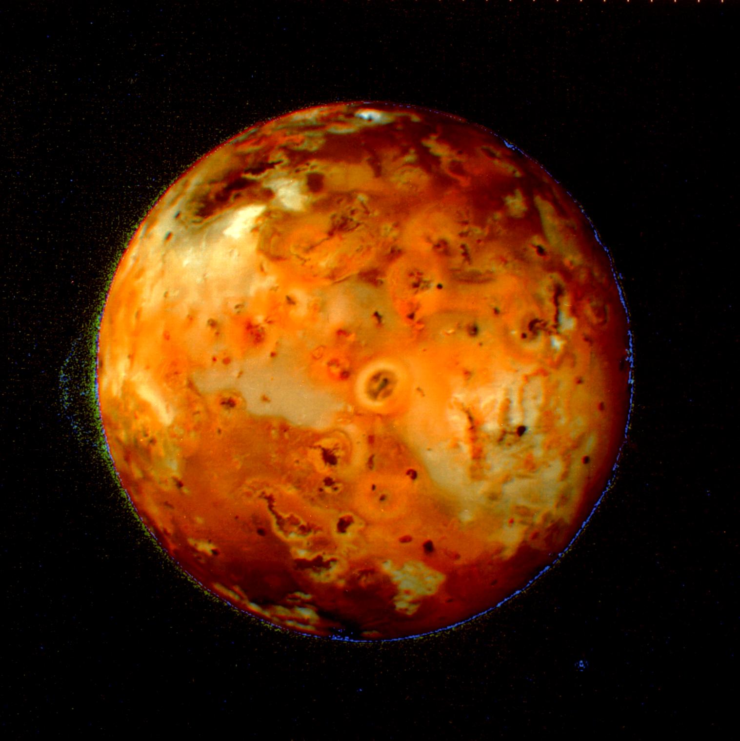
1999-05-08 | Io |
Voyager |
1517x1519x3 | |
|
|||||
|
|
1999-05-08 | Triton |
Voyager |
1894x1854x1 | |

|
|||||
|
|
1999-05-08 | Triton |
Voyager |
1885x1903x1 | |
|
|||||
|
|
1998-10-13 | Callisto |
Galileo |
800x799x1 | |
|
|||||
|
|
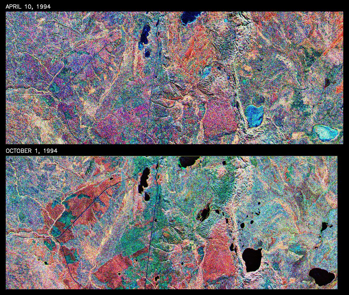
1999-01-27 | Earth |
Spaceborne Imaging Radar-C/X-Band Synthetic Aperture Radar |
376x828x3 | |
|
|
|||||
|
|
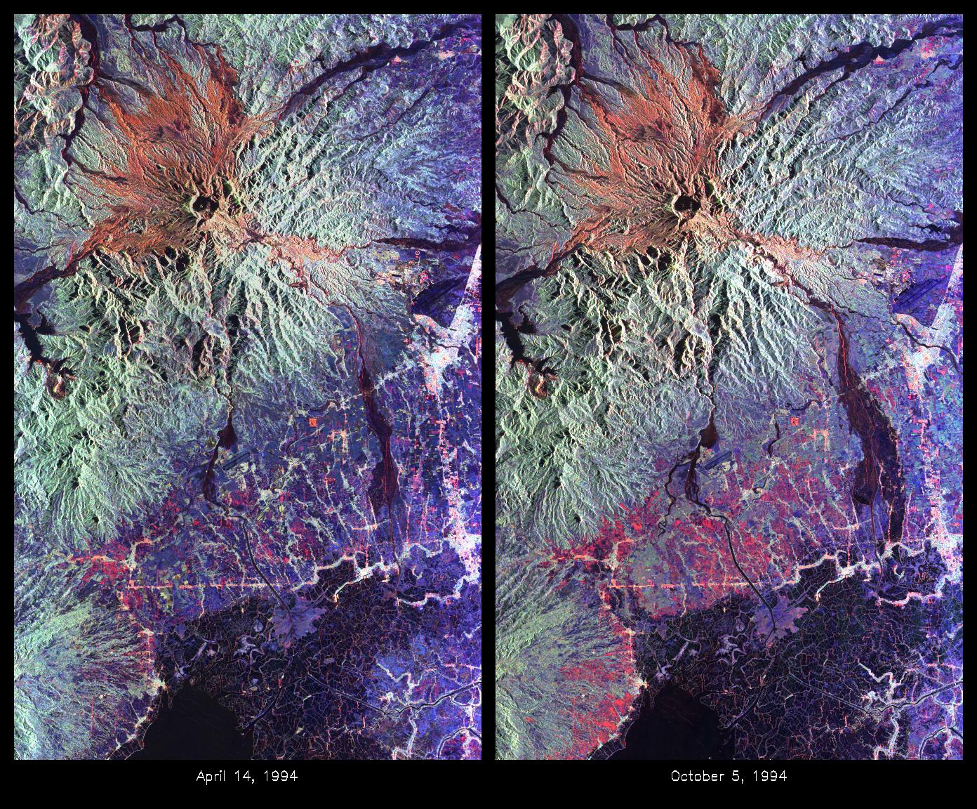
1999-05-01 | Earth |
Spaceborne Imaging Radar-C/X-Band Synthetic Aperture Radar |
1211x1025x3 | |
|
|||||
|
|
1999-05-01 | Earth |
Spaceborne Imaging Radar-C/X-Band Synthetic Aperture Radar |
1392x1152x3 | |
|
|||||
|
|
1999-05-01 | Earth |
Spaceborne Imaging Radar-C/X-Band Synthetic Aperture Radar |
1020x1020x3 | |
|
|||||
|
|
1999-05-01 | Earth |
Spaceborne Imaging Radar-C/X-Band Synthetic Aperture Radar |
1020x1020x1 | |
|
|||||
|
|
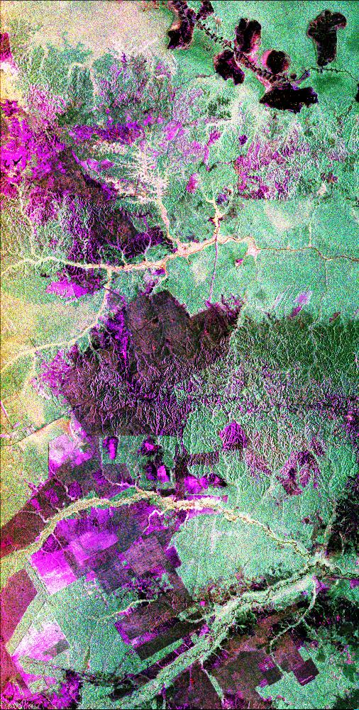
1999-04-15 | Earth |
Spaceborne Imaging Radar-C/X-Band Synthetic Aperture Radar |
506x1001x3 | |

|
|||||
|
|
1999-04-15 | Earth |
Spaceborne Imaging Radar-C/X-Band Synthetic Aperture Radar |
2447x1789x3 | |

|
|||||
|
|
1999-04-15 | Earth |
Spaceborne Imaging Radar-C/X-Band Synthetic Aperture Radar |
2206x1758x3 | |

|
|||||
|
|
2000-01-26 | Mercury |
Mariner Venus Mercury (Mariner 10) |
7200x5000x1 | |
|
|||||
|
|
1999-10-08 | Mercury |
Mariner Venus Mercury (Mariner 10) |
356x311x1 | |

|
|||||
|
|
1999-10-08 | Mercury |
Mariner Venus Mercury (Mariner 10) |
348x302x1 | |
|
|||||
|
|
2000-01-15 | Mercury |
Mariner Venus Mercury (Mariner 10) |
356x311x1 | |
|
|||||
|
|
2000-08-05 | Mercury |
Mariner Venus Mercury (Mariner 10) |
311x356x1 | |
|
|||||
|
|
2000-11-04 | Moon |
Ranger 7 |
685x720x1 | |
|
|||||
|
|
2000-11-04 | Moon |
Ranger 7 |
720x707x1 | |

|
|||||
|
|
2001-02-09 | Earth |
Landsat |
439x593x3 | |
|
|||||
|
|
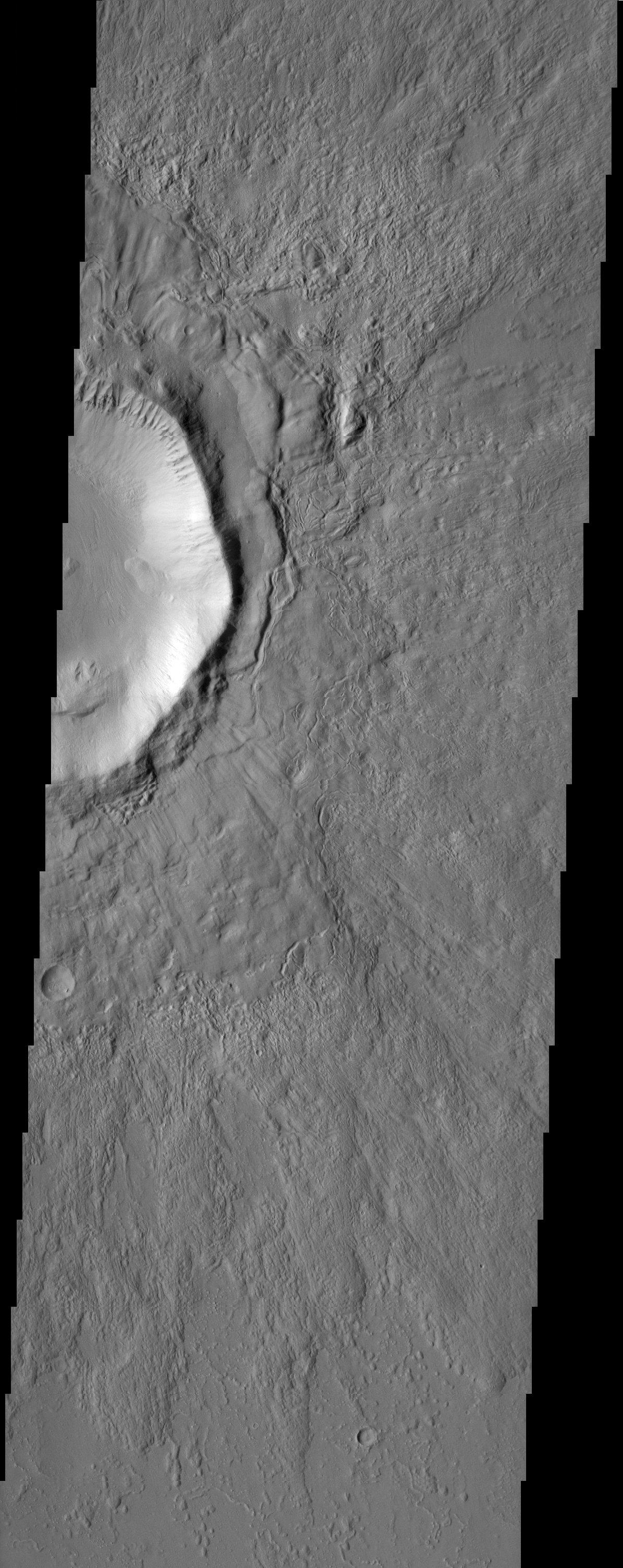
2003-01-28 | Mars |
2001 Mars Odyssey |
1196x3007x1 | |
|
|
|||||
|
|
2004-04-15 | Mars |
Mars Exploration Rover (MER) |
1776x1392x3 | |
|
|||||
|
|
2004-06-02 | Earth |
Mars Exploration Rover (MER) |
1576x980x3 | |

|
|||||
|
|
2005-01-21 |
Deep Impact |
1920x2560x3 | ||
|
|||||
|
|
2004-12-16 | Titan |
Cassini-Huygens |
497x497x1 | |
|
|||||
|
|
2005-05-09 | Tempel 1 |
Deep Impact |
8598x5732x3 | |
|
|||||
|
|
2005-07-01 | Comet | 720x573x3 | ||

|
|||||
|
|
2005-07-01 | Tempel 1 |
Deep Impact |
720x540x3 | |
|
|||||
|
|
2006-01-20 |
Stardust |
3072x2048x3 | ||

|
|||||
|
|
2006-10-19 |
Stardust |
720x515x1 | ||
|
|||||
|
|
2006-02-21 |
Stardust |
1547x1136x3 | ||

|
|||||
|
|
2009-08-10 | HD 172555 |
Spitzer Space Telescope |
3000x2400x3 | |

|
|||||
|
|
2009-09-24 | Moon |
Deep Impact |
1000x750x3 | |
|
|||||
|
|
2009-09-24 |
Deep Impact |
800x618x3 | ||
|
|||||
|
|
2009-09-24 | Moon |
Deep Impact |
1000x750x3 | |

|
|||||
|
|
2009-09-24 | Moon |
Deep Impact |
1000x495x3 | |

|
|||||
|
|
2009-09-24 | Mars |
Mars Reconnaissance Orbiter (MRO) |
1375x810x3 | |
|
|||||
|
|
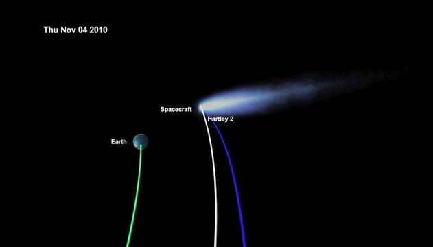
2010-10-26 | Tempel 1 |
EPOXI |
631x360x3 | |

|
|||||
|
|
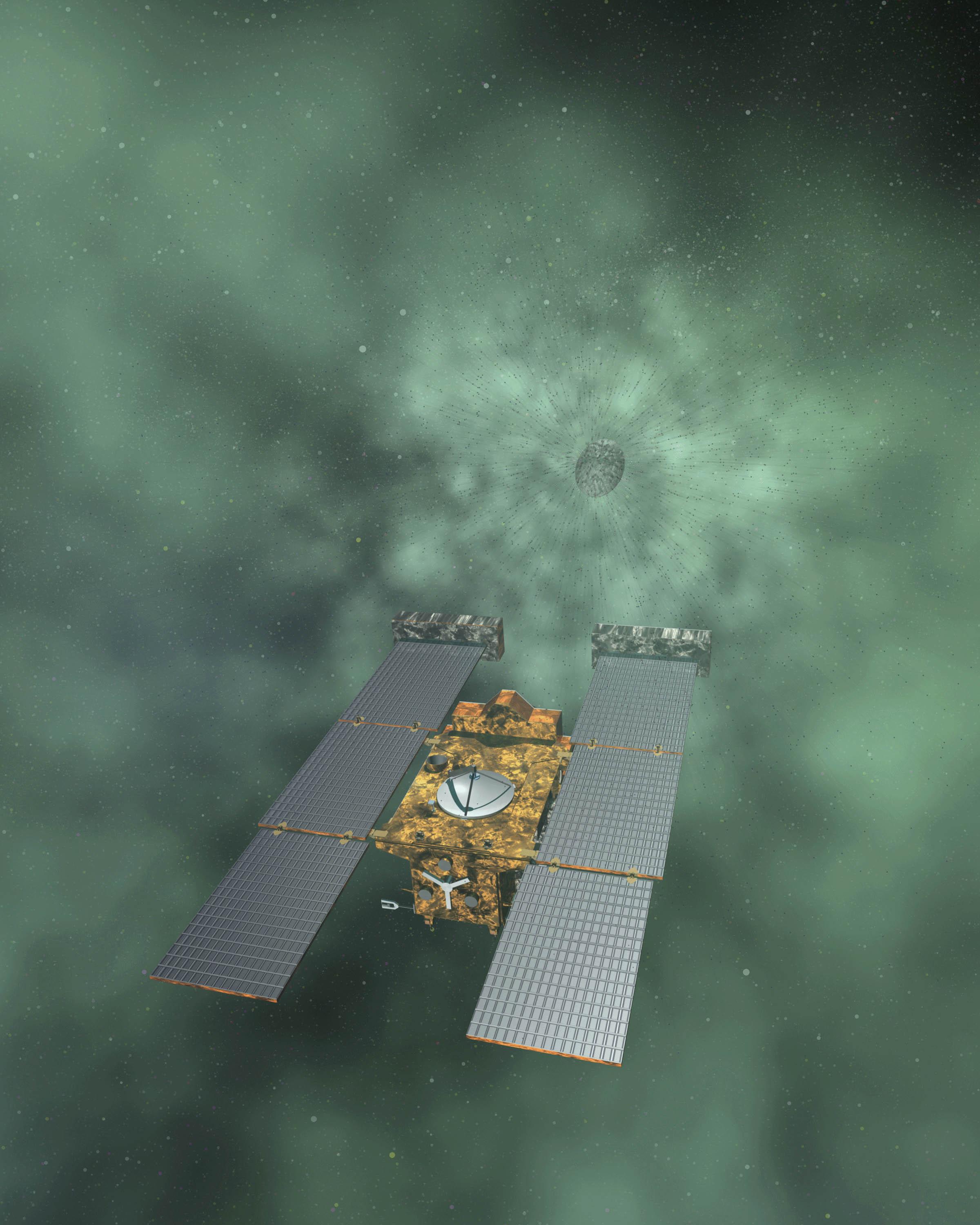
2011-02-10 | Tempel 1 |
StardustNExT |
2400x3000x3 | |
|
|||||
|
|
2011-03-31 | Jupiter |
Galileo |
2610x4104x3 | |
|
|||||
|
|
2011-08-25 |
GRAIL |
2000x3000x3 | ||
|
|||||
|
|
2011-10-19 |
Spitzer Space Telescope |
4267x2400x3 | ||

|
|||||
|
|
2011-11-10 |
Mars Science Laboratory (MSL) |
3000x2000x3 | ||
|
|||||
|
|
2011-11-10 | 720x540x3 | |||
|
|||||
|
|
2011-12-03 | Vesta |
Dawn |
1800x1333x3 | |

|
|||||
|
|
2011-12-04 | Vesta |
Dawn |
1000x571x3 | |
|
|||||
|
|
2012-03-28 | Mars |
Mars Science Laboratory (MSL) |
2560x1440x3 | |
|
|||||
|
|
2012-03-28 | Mars |
Mars Science Laboratory (MSL) |
2560x1440x3 | |

|
|||||
|
|
2012-05-10 | Vesta |
Dawn |
1280x720x3 | |
|
|||||
|
|
2012-06-11 | Mars |
Mars Science Laboratory (MSL) |
2560x1600x3 | |
|
|||||
|
|
2012-06-11 | Mars |
Mars Science Laboratory (MSL) |
1564x1528x3 | |
|
|||||
|
|
2012-08-07 | Mars |
Mars Science Laboratory (MSL) |
717x546x3 | |
|
|||||
|
|
2012-08-10 | Mars |
Mars Science Laboratory (MSL) |
963x720x1 | |
|
|||||
|
|
2012-08-10 |
Mars Science Laboratory (MSL) |
1024x720x1 | ||
|
|||||
|
|
2012-08-22 | Mars |
Mars Science Laboratory (MSL) |
1024x1024x1 | |
|
|||||
|
|
2012-11-29 | Mercury |
MESSENGER |
1280x720x3 | |
|
|||||
|
|
2012-11-29 | Mercury |
MESSENGER |
1980x5464x3 | |
|
|
|||||
|
|
2012-12-05 | Moon |
GRAIL Lunar Reconnaissance Orbiter (LRO) |
1065x578x3 | |
|
|||||
|
|
2012-12-05 | Moon |
GRAIL |
1440x919x3 | |
|
|||||
|
|
2012-12-05 | Moon |
GRAIL Lunar Reconnaissance Orbiter (LRO) |
1475x975x3 | |
|
|||||
|
|
2012-12-05 | Moon |
GRAIL |
1914x1077x3 | |
|
|||||
|
|
2012-12-05 | Moon |
GRAIL Lunar Reconnaissance Orbiter (LRO) |
1038x658x3 | |
|
|||||
|
|
2012-12-13 | Moon |
GRAIL Lunar Reconnaissance Orbiter (LRO) |
1280x720x1 | |
|
|||||
|
|
2012-12-13 | Moon |
GRAIL Lunar Reconnaissance Orbiter (LRO) |
1636x671x3 | |
|
|||||
|
|
2012-12-13 | Moon |
GRAIL |
1230x1242x3 | |
|
|||||
|
|
2012-12-13 | Moon |
GRAIL Lunar Reconnaissance Orbiter (LRO) |
1702x998x3 | |
|
|||||
|
|
2013-03-20 | Mercury |
MESSENGER |
1024x509x3 | |
|
|||||
|
|
2013-04-25 | Saturn |
Cassini-Huygens |
1904x996x1 | |
|
|||||
|
|
2013-04-25 | Saturn |
Cassini-Huygens |
1904x996x1 | |
|
|||||
|
|
2013-08-02 | Asteroid | 3254x2613x3 | ||
|
|||||
|
|
2013-11-08 | Moon |
GRAIL |
1557x1001x3 | |
|
|||||
|
|
2013-12-09 | Mars |
Mars Science Laboratory (MSL) |
960x720x3 | |
|
|||||
|
|
2014-01-08 | Europa |
Galileo |
1337x715x1 | |
|
|||||
|
|
2001-06-26 | Mars |
Hubble Space Telescope |
500x500x3 | |
|
|||||
|
|
2009-06-18 |
LCROSS |
2100x2100x3 | ||
|
|||||
|
|
1999-12-21 |
ACRIMSAT |
800x688x3 | ||
|
|||||
|
|
2014-06-06 | Earth |
LDSD |
1280x720x3 | |
|
|||||
|
|
2014-07-02 |
Chandra X-ray Observatory Hubble Space Telescope Spitzer Space Telescope Very Large Array (VLA) |
3600x2812x3 | ||
|
|||||
|
|
2014-08-28 |
Spitzer Space Telescope |
4005x2253x3 | ||
|
|||||
|
|
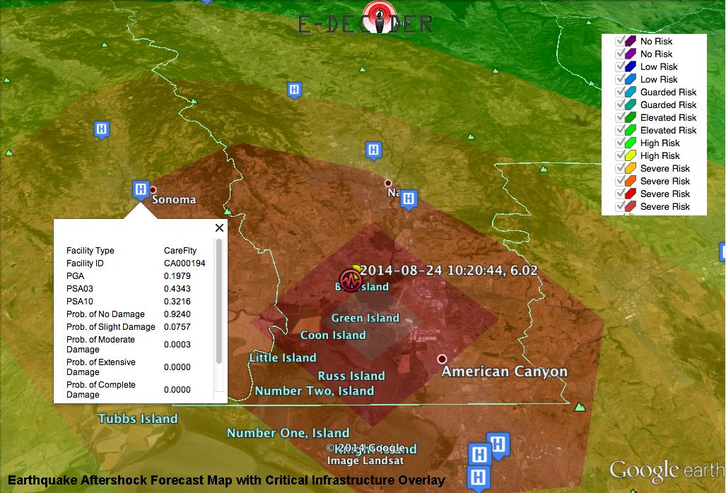
2014-09-03 | Earth |
E-DECIDER |
1027x698x3 | |

|
|||||
 |
 |
|
|
|
|
|
|
|
|

|
|
| 1-100 | 101-200 | 201-300 | 301-400 | 401-500 | 501-600 | 601-700 | 701-800 | 801-900 | 901-1000 |
| Currently displaying images: 1 - 100 of 3149 |