My
List |
Addition Date
|
Target
|
Mission
|
Instrument
|
Size
|

|
1999-04-15 |
Earth
|
Spaceborne Imaging Radar-C/X-Band Synthetic Aperture Radar
|
|
1494x2500x3 |

|
-
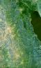
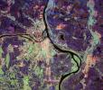
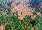
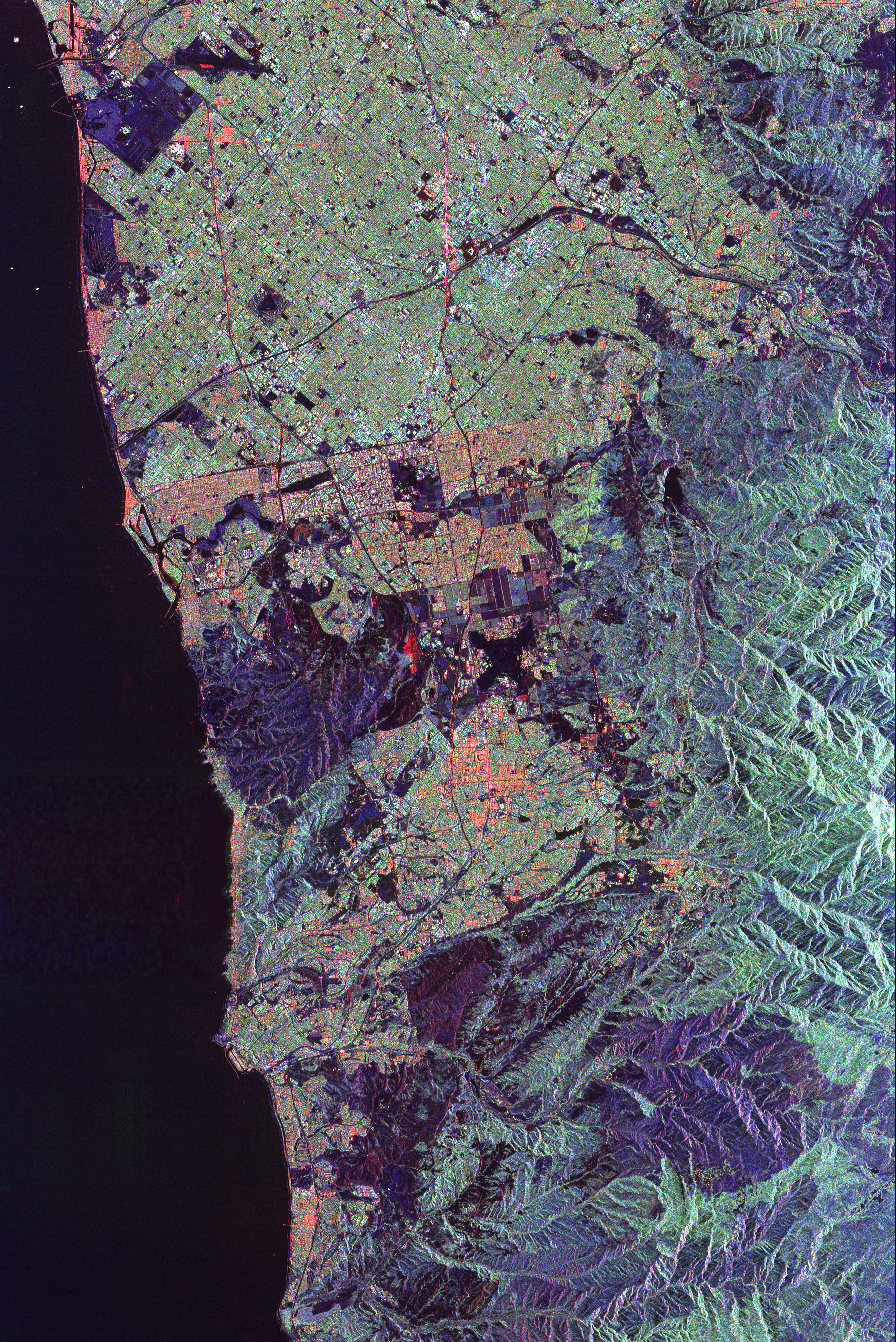
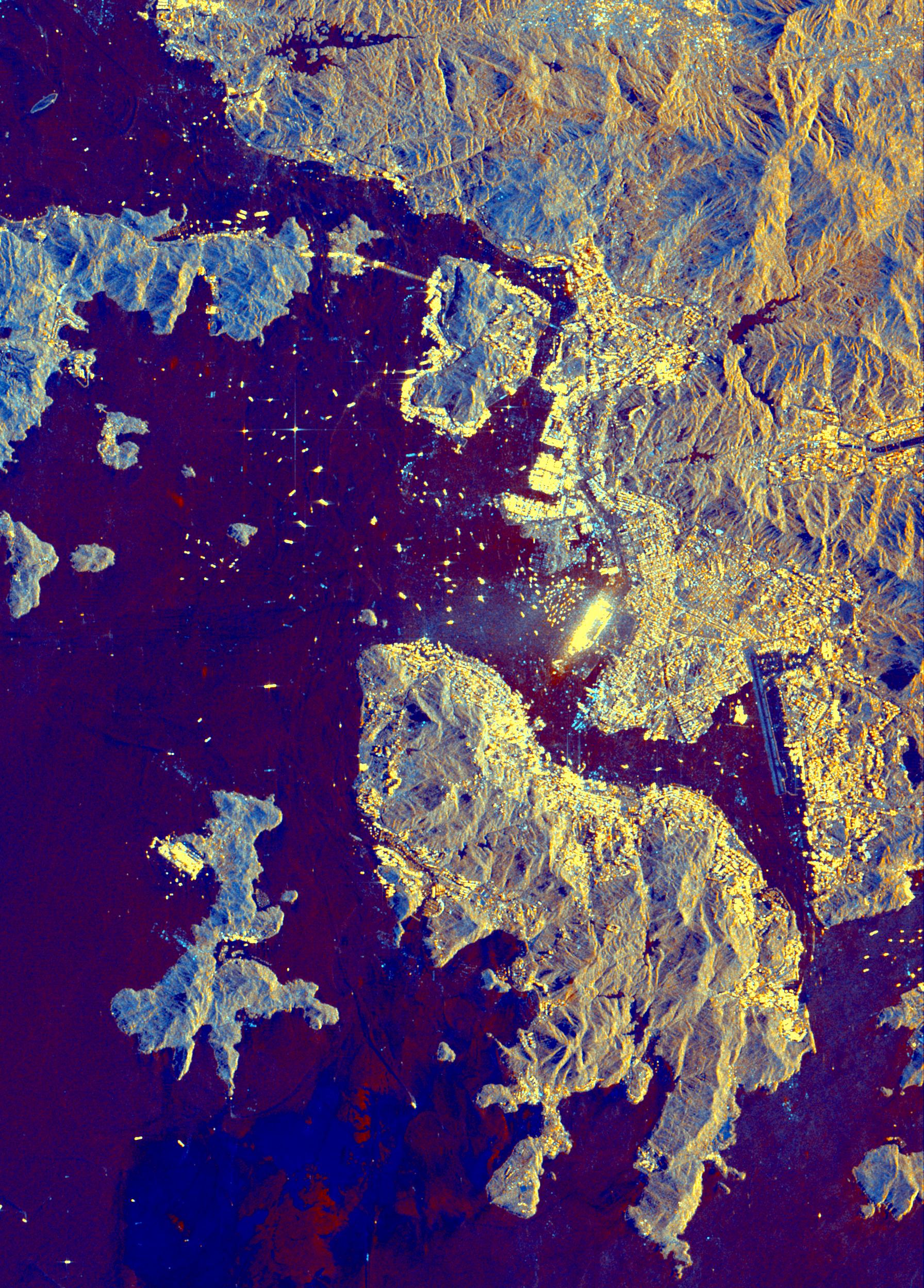
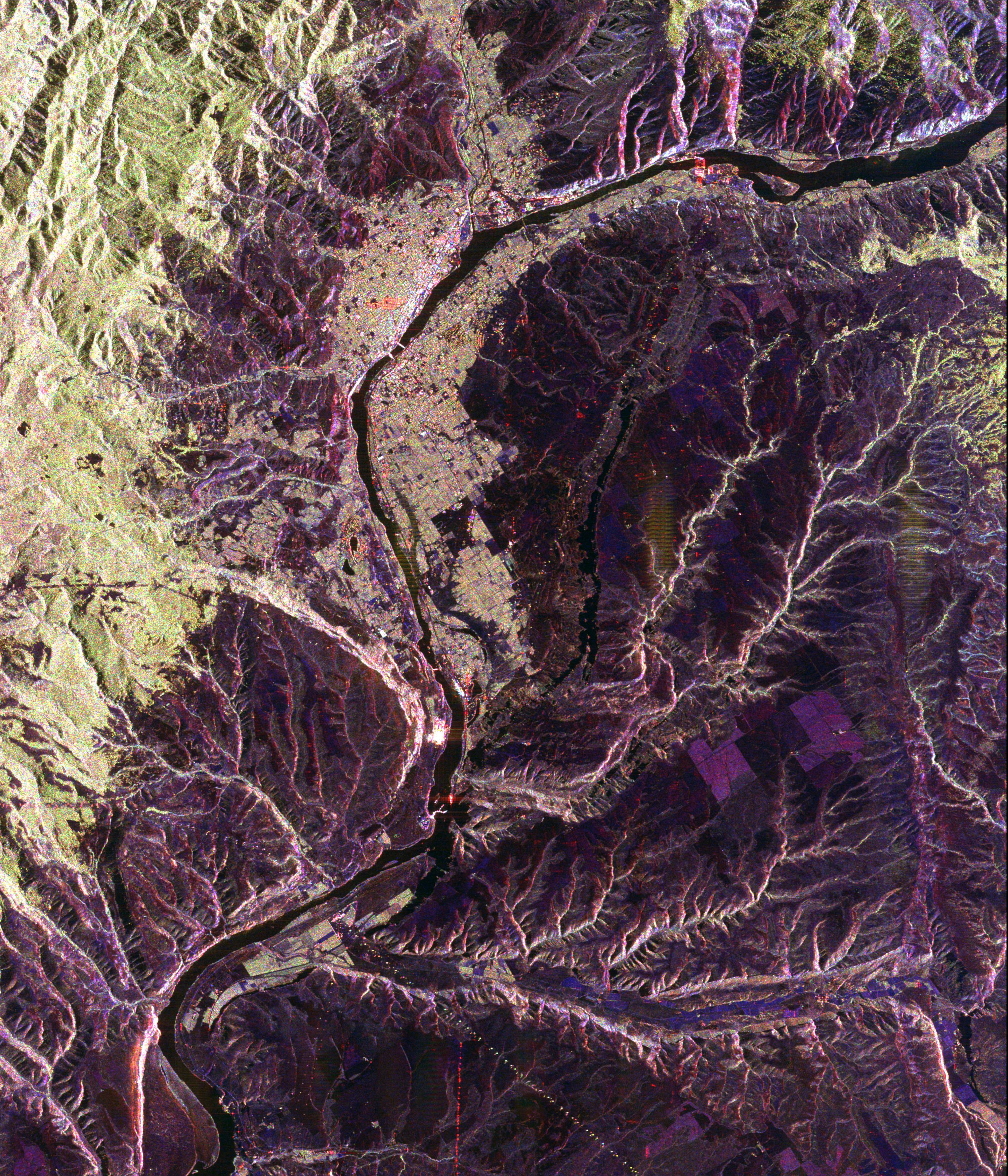
PIA01798:
-
Space Radar Image of Salt Lake City, Utah
Full Resolution:
TIFF
(13.97 MB)
JPEG
(1.173 MB)
|
|
|
1999-04-15 |
Earth
|
Spaceborne Imaging Radar-C/X-Band Synthetic Aperture Radar
|
|
2694x1359x3 |
|
-
PIA01799:
-
Space Radar Image of North Atlantic Ocean
Full Resolution:
TIFF
(14.14 MB)
JPEG
(1.832 MB)
|
|
|
1999-04-15 |
Earth
|
Spaceborne Imaging Radar-C/X-Band Synthetic Aperture Radar
|
|
1000x800x3 |
|
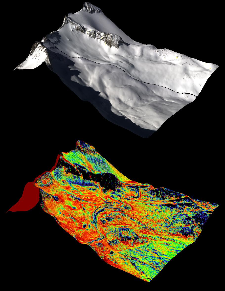
-
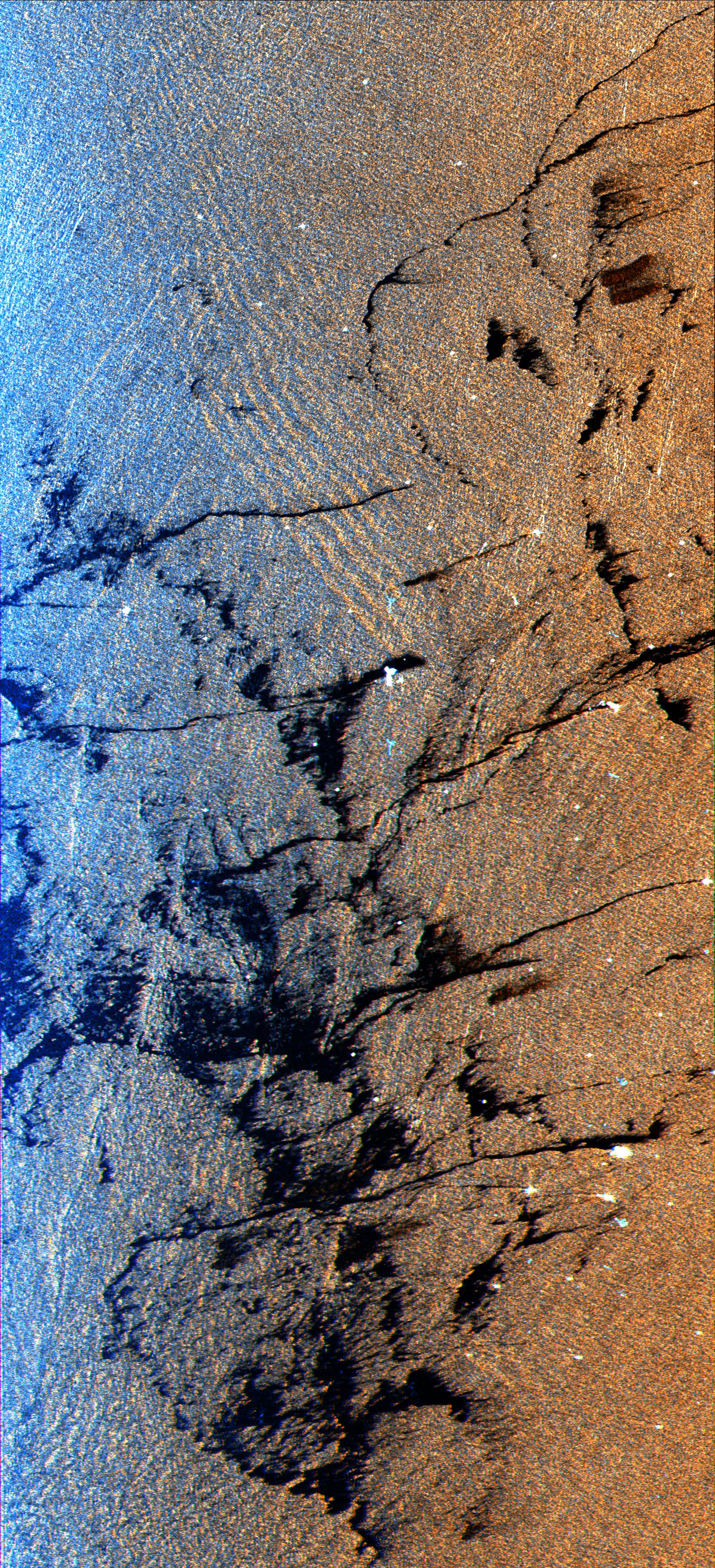
PIA01800:
-
Space Radar Image of Karakax Valley, China 3-D
Full Resolution:
TIFF
(2.026 MB)
JPEG
(170.8 kB)
|
|
|
1999-04-15 |
Earth
|
Spaceborne Imaging Radar-C/X-Band Synthetic Aperture Radar
|
|
2076x2470x3 |
|
-
PIA01801:
-
Space Radar Image of Sudan Collision Zone
Full Resolution:
TIFF
(16.56 MB)
JPEG
(2.247 MB)
|
|
|
1999-04-15 |
Earth
|
Spaceborne Imaging Radar-C/X-Band Synthetic Aperture Radar
|
|
3800x2300x3 |
|
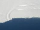
-
PIA01802:
-
Space Radar Image of Weddell Sea
Full Resolution:
TIFF
(28.59 MB)
JPEG
(1.717 MB)
|
|
|
1999-04-15 |
Earth
|
Spaceborne Imaging Radar-C/X-Band Synthetic Aperture Radar
|
|
1644x3604x3 |
|
-
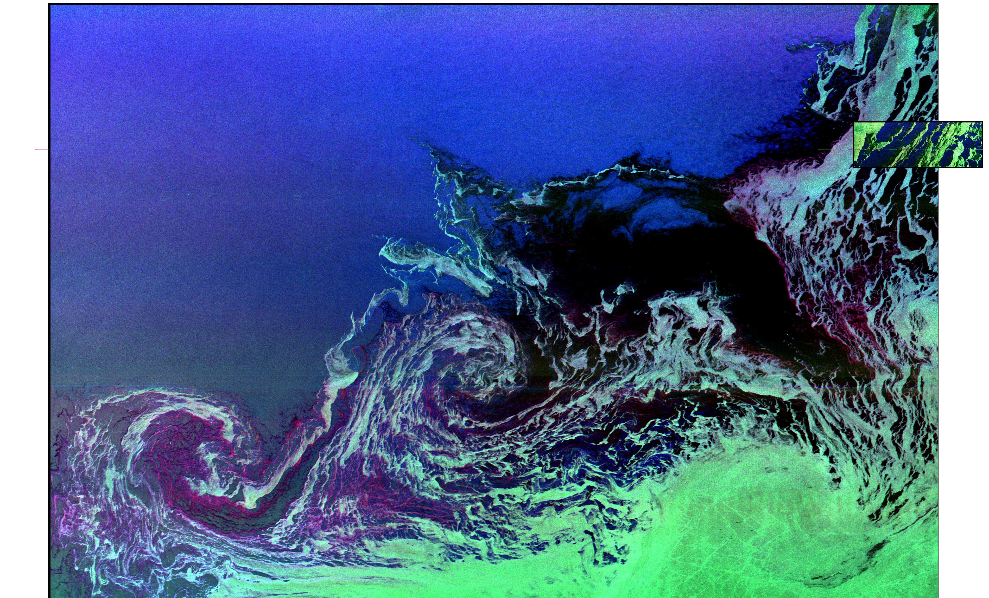
PIA01803:
-
Space Radar Image of Oil Slicks
Full Resolution:
TIFF
(21.1 MB)
JPEG
(2.086 MB)
|
|
|
1999-04-15 |
Earth
|
Spaceborne Imaging Radar-C/X-Band Synthetic Aperture Radar
|
|
2300x1617x3 |
|
-
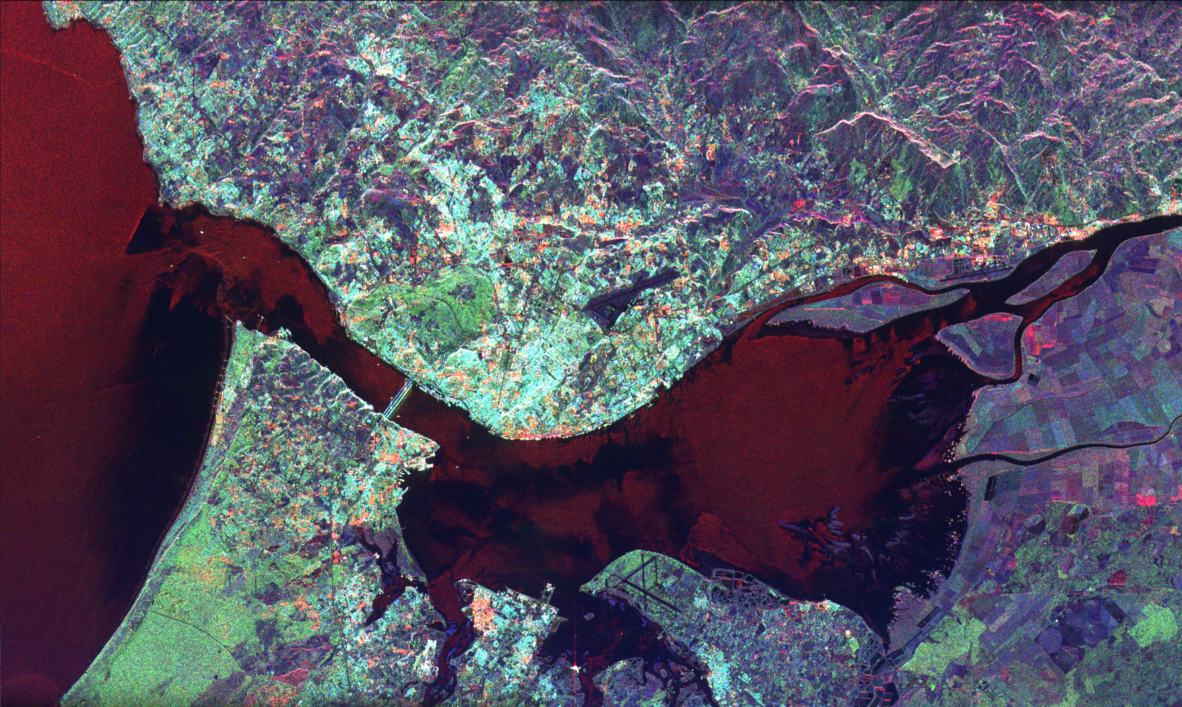
PIA01804:
-
Space Radar Image of Dublin, Ireland
Full Resolution:
TIFF
(14.17 MB)
JPEG
(1.381 MB)
|
|
|
1999-04-15 |
Earth
|
Spaceborne Imaging Radar-C/X-Band Synthetic Aperture Radar
|
|
4000x2392x3 |
|
-
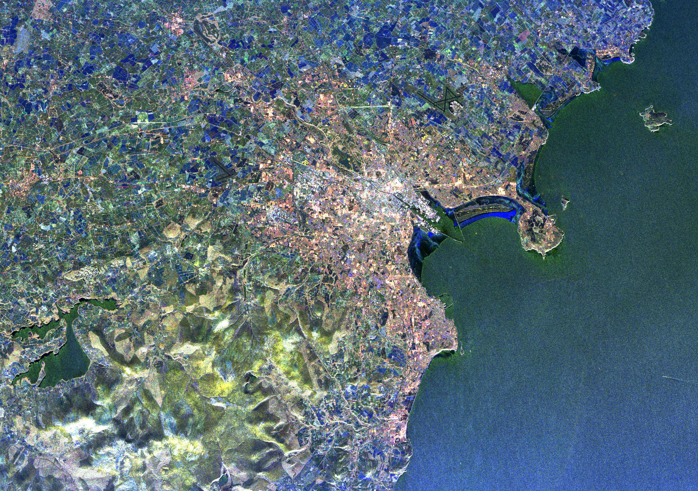
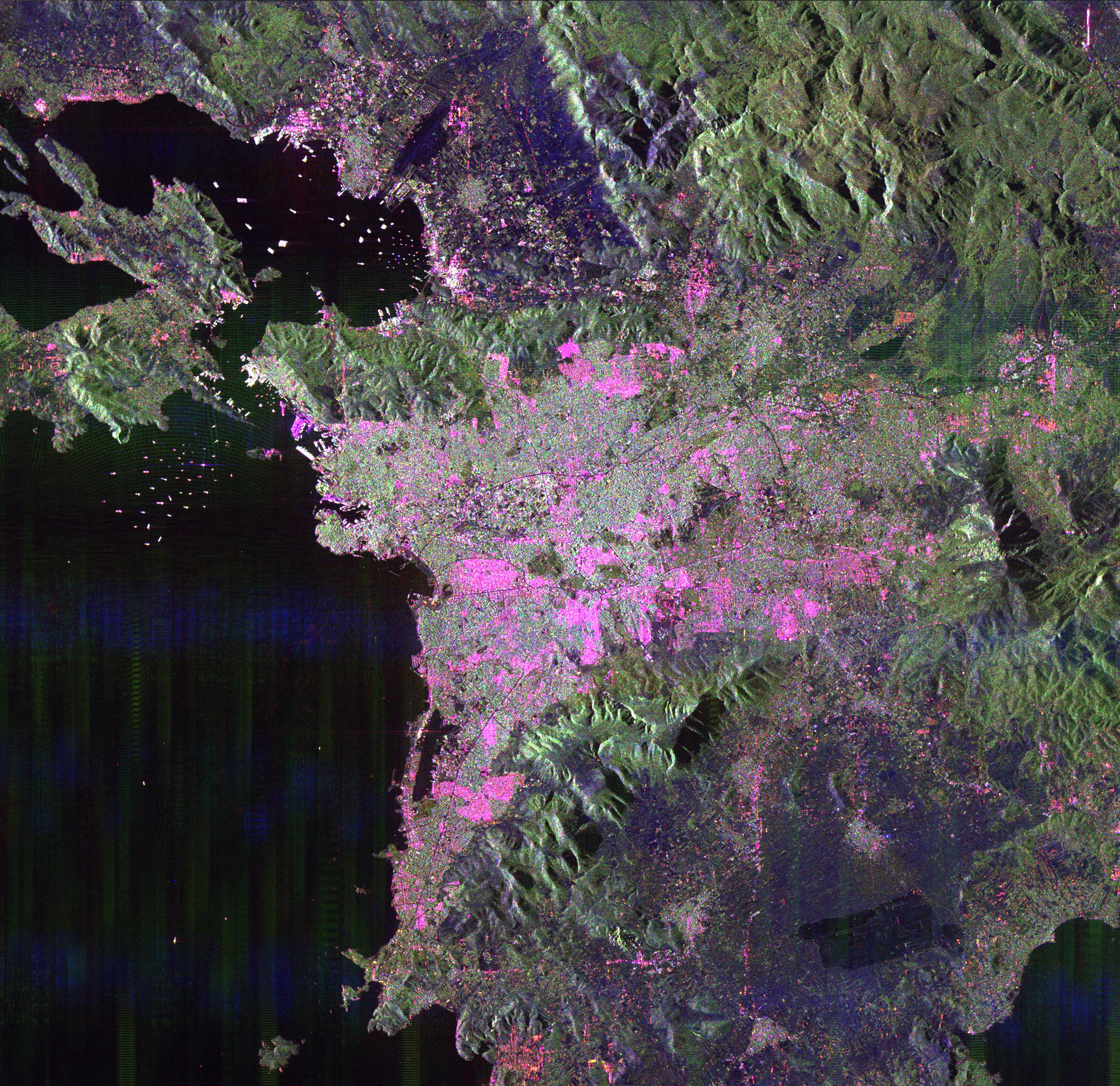
PIA01807:
-
Space Radar Image of Lisbon, Portugal
Full Resolution:
TIFF
(34.58 MB)
JPEG
(2.158 MB)
|
|
|
1999-04-15 |
Earth
|
Spaceborne Imaging Radar-C/X-Band Synthetic Aperture Radar
|
|
1920x1035x3 |

|
-
PIA01808:
-
Space Radar Image of Saline Valley, California
Full Resolution:
TIFF
(5.441 MB)
JPEG
(241.2 kB)
|
|
|
1999-04-15 |
Earth
|
Spaceborne Imaging Radar-C/X-Band Synthetic Aperture Radar
|
|
1920x1035x3 |
|
-
PIA01809:
-
Space Radar Image of Owens Valley, California
Full Resolution:
TIFF
(5.689 MB)
JPEG
(234.3 kB)
|
|
|
1999-04-15 |
Earth
|
Spaceborne Imaging Radar-C/X-Band Synthetic Aperture Radar
|
|
2000x2026x3 |
|
-
PIA01810:
-
Space Radar Image of North Ecuador
Full Resolution:
TIFF
(15.34 MB)
JPEG
(1.338 MB)
|
|
|
1999-04-15 |
Earth
|
Spaceborne Imaging Radar-C/X-Band Synthetic Aperture Radar
|
|
2004x3000x3 |
|
-
PIA01811:
-
Space Radar Image of Reunion Island
Full Resolution:
TIFF
(22.31 MB)
JPEG
(1.61 MB)
|
|
|
1999-04-15 |
Earth
|
Spaceborne Imaging Radar-C/X-Band Synthetic Aperture Radar
|
|
1365x3000x3 |
|
-
PIA01812:
-
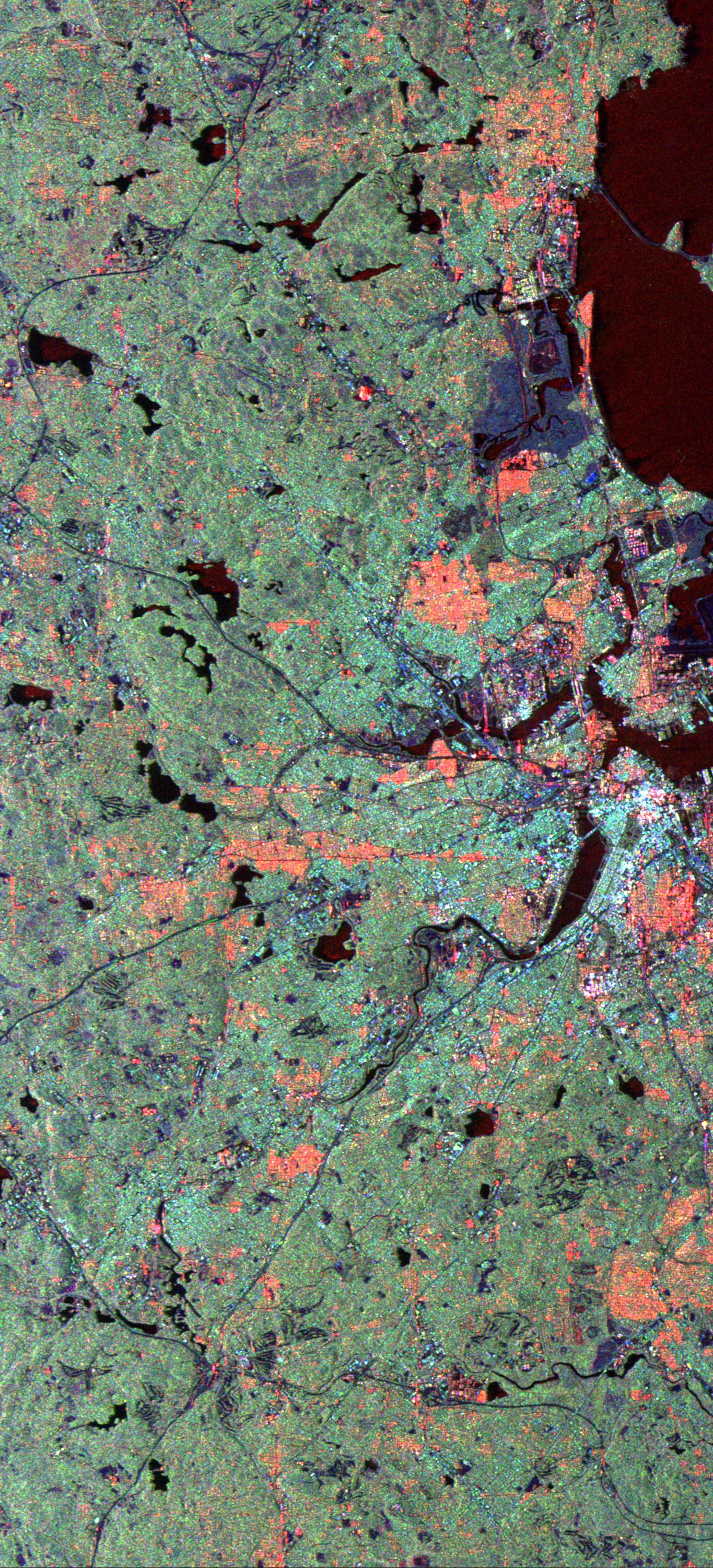
Space Radar Image of Boston, Massachusetts
Full Resolution:
TIFF
(15.55 MB)
JPEG
(1.138 MB)
|
|
|
1999-04-15 |
Earth
|
Spaceborne Imaging Radar-C/X-Band Synthetic Aperture Radar
|
|
2840x1243x3 |
|
-
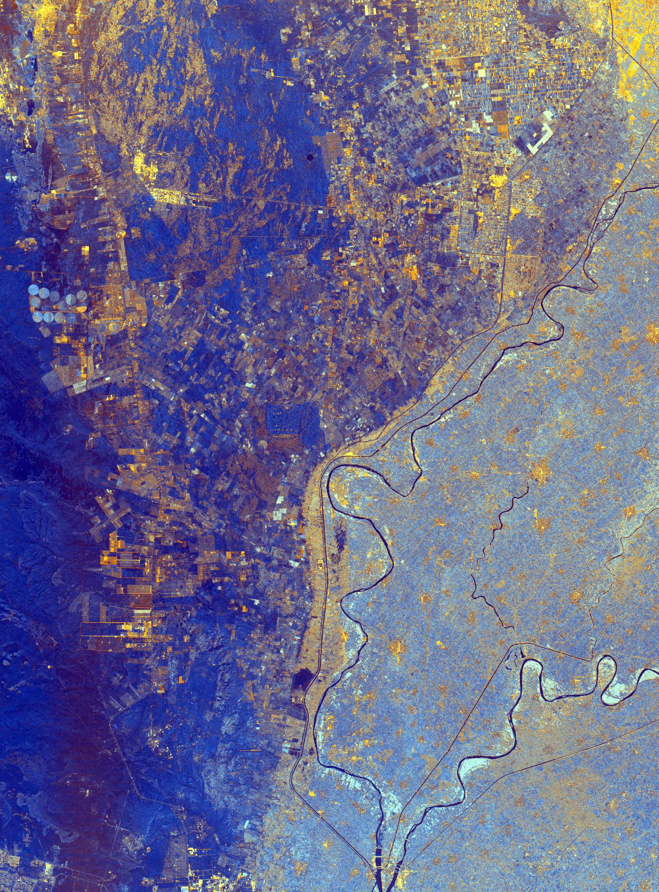
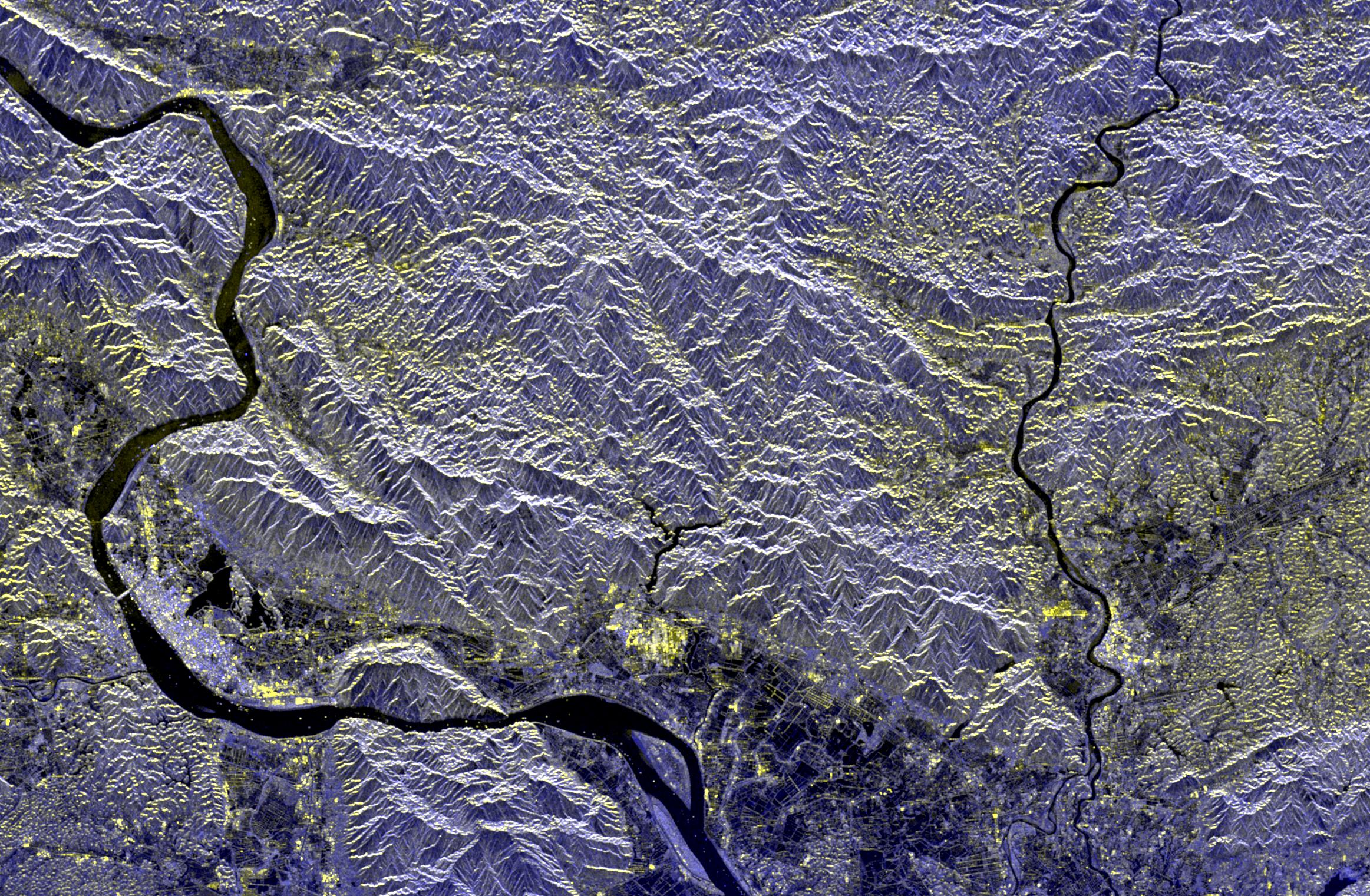
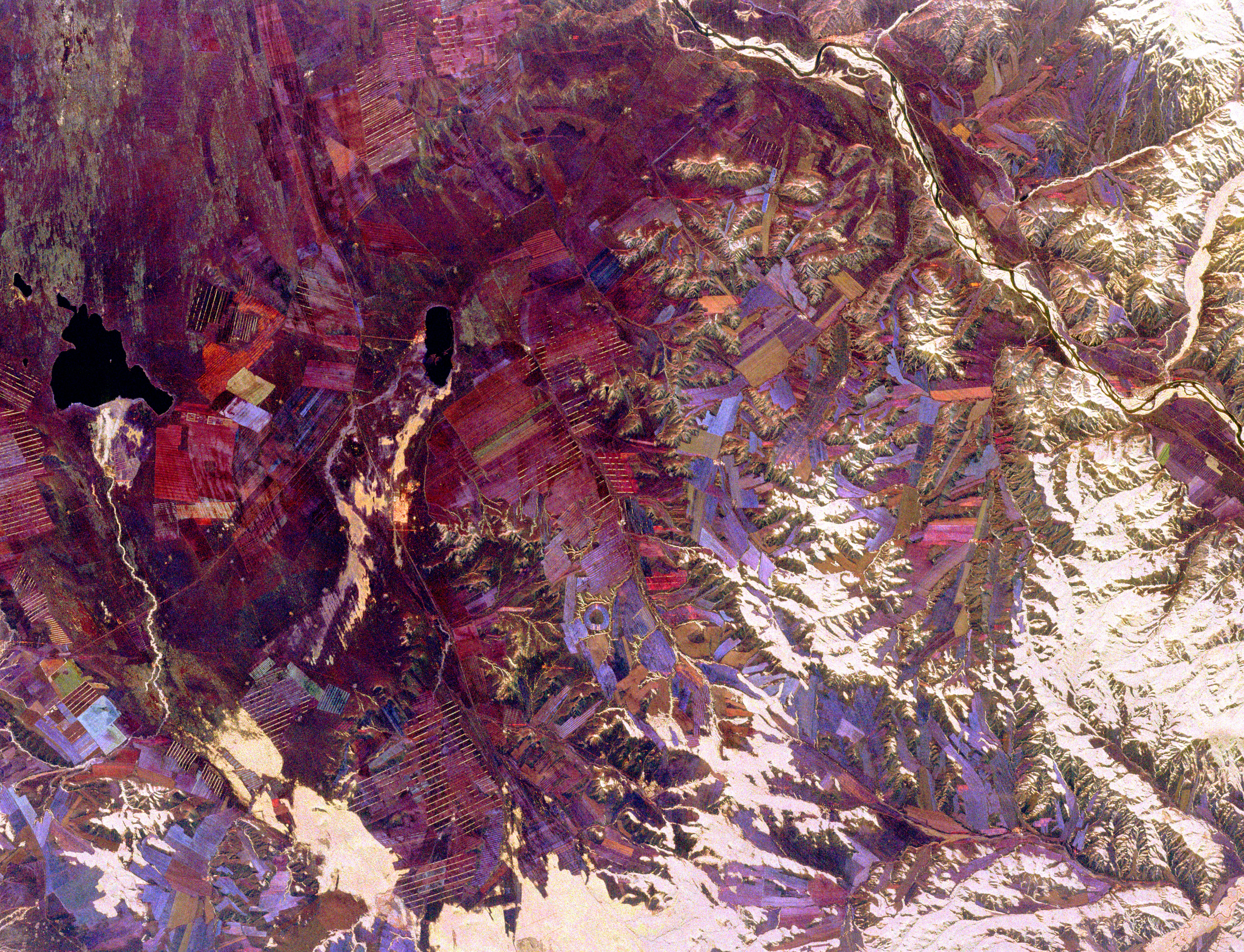
PIA01813:
-
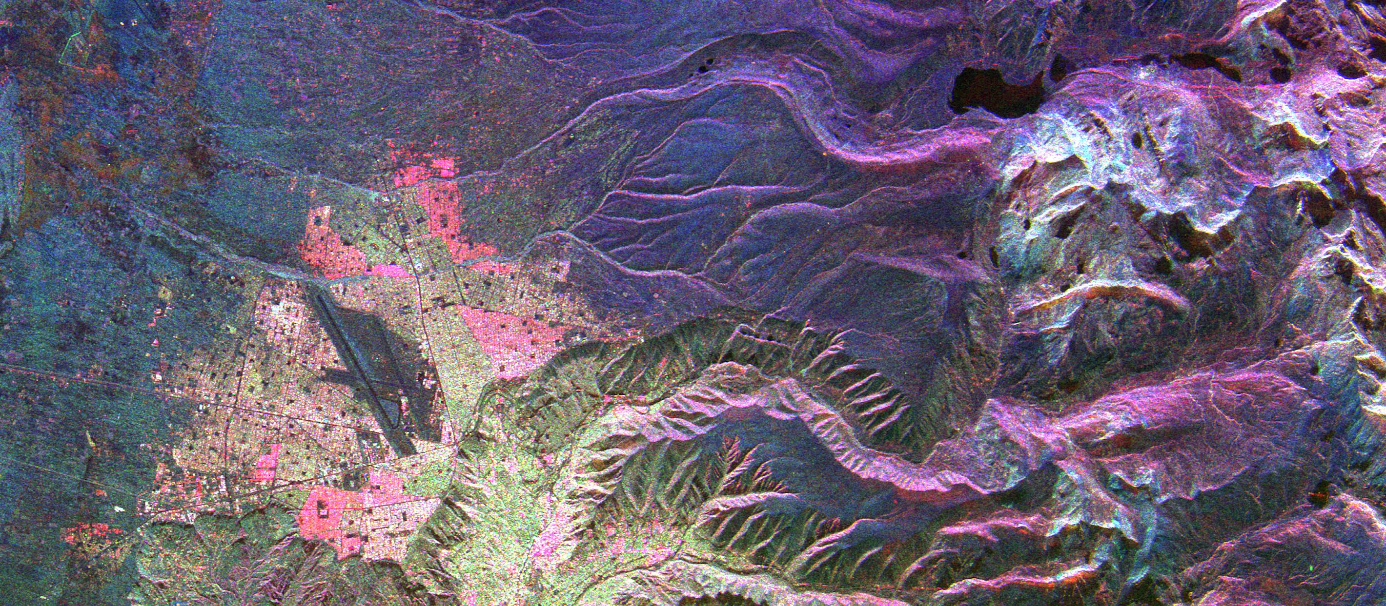
Space Radar Image of La Paz, Bolivia
Full Resolution:
TIFF
(13.04 MB)
JPEG
(1.023 MB)
|
|
|
1999-04-15 |
Earth
|
Spaceborne Imaging Radar-C/X-Band Synthetic Aperture Radar
|
|
1750x2950x3 |
|
-
PIA01814:
-
Space Radar Image of Jerusalem and the Dead Sea
Full Resolution:
TIFF
(19.16 MB)
JPEG
(1.522 MB)
|
|
|
1999-04-15 |
Earth
|
Spaceborne Imaging Radar-C/X-Band Synthetic Aperture Radar
|
|
2016x1951x3 |
|
-
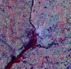
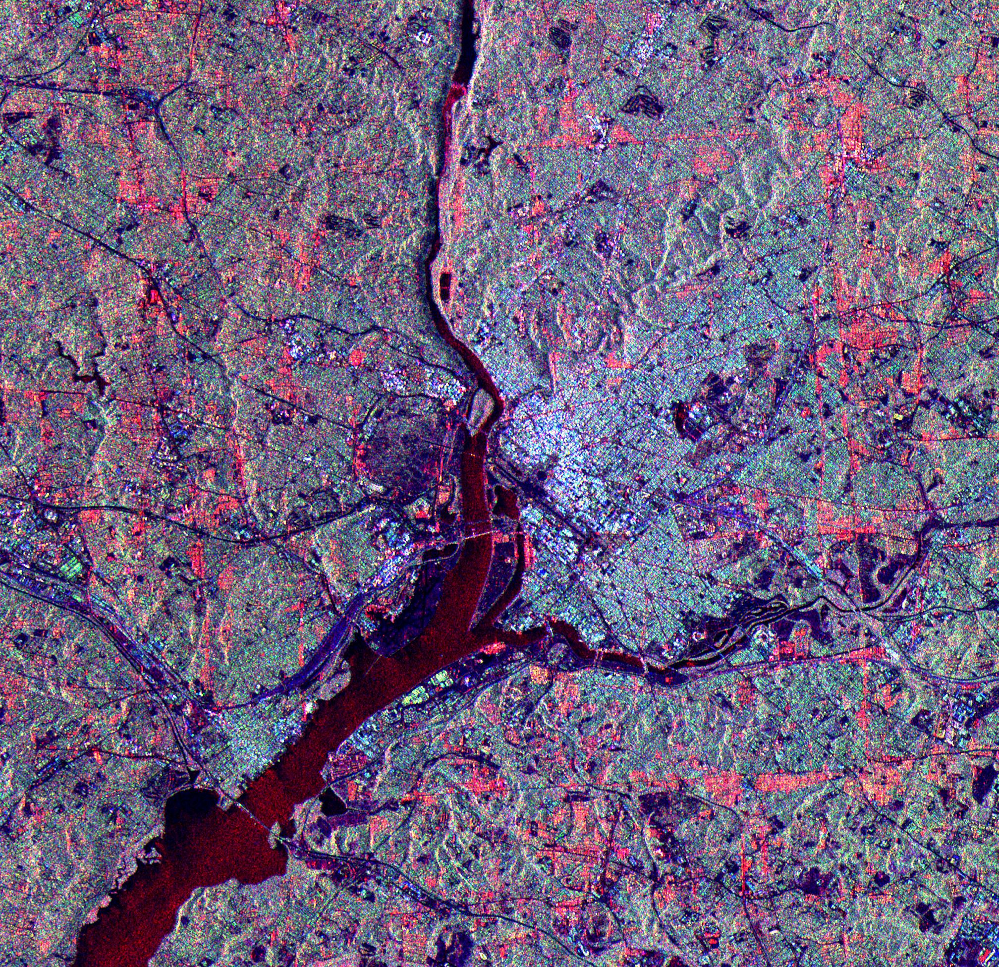
PIA01815:
-
Space Radar Image of Washington D.C.
Full Resolution:
TIFF
(14.94 MB)
JPEG
(1.6 MB)
|
|
|
1999-04-15 |
Earth
|
Spaceborne Imaging Radar-C/X-Band Synthetic Aperture Radar
|
|
3425x2778x3 |
|
-
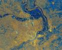
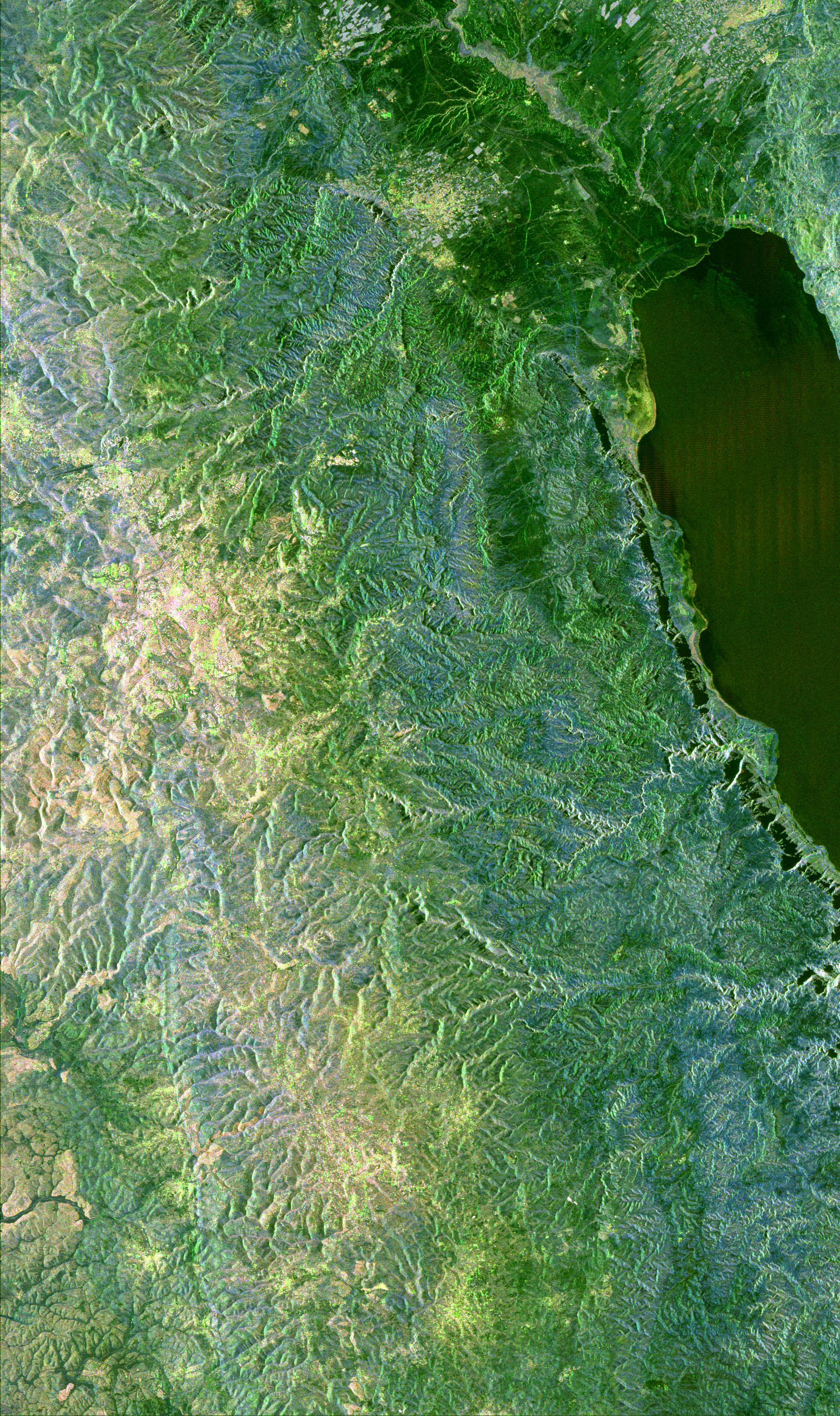
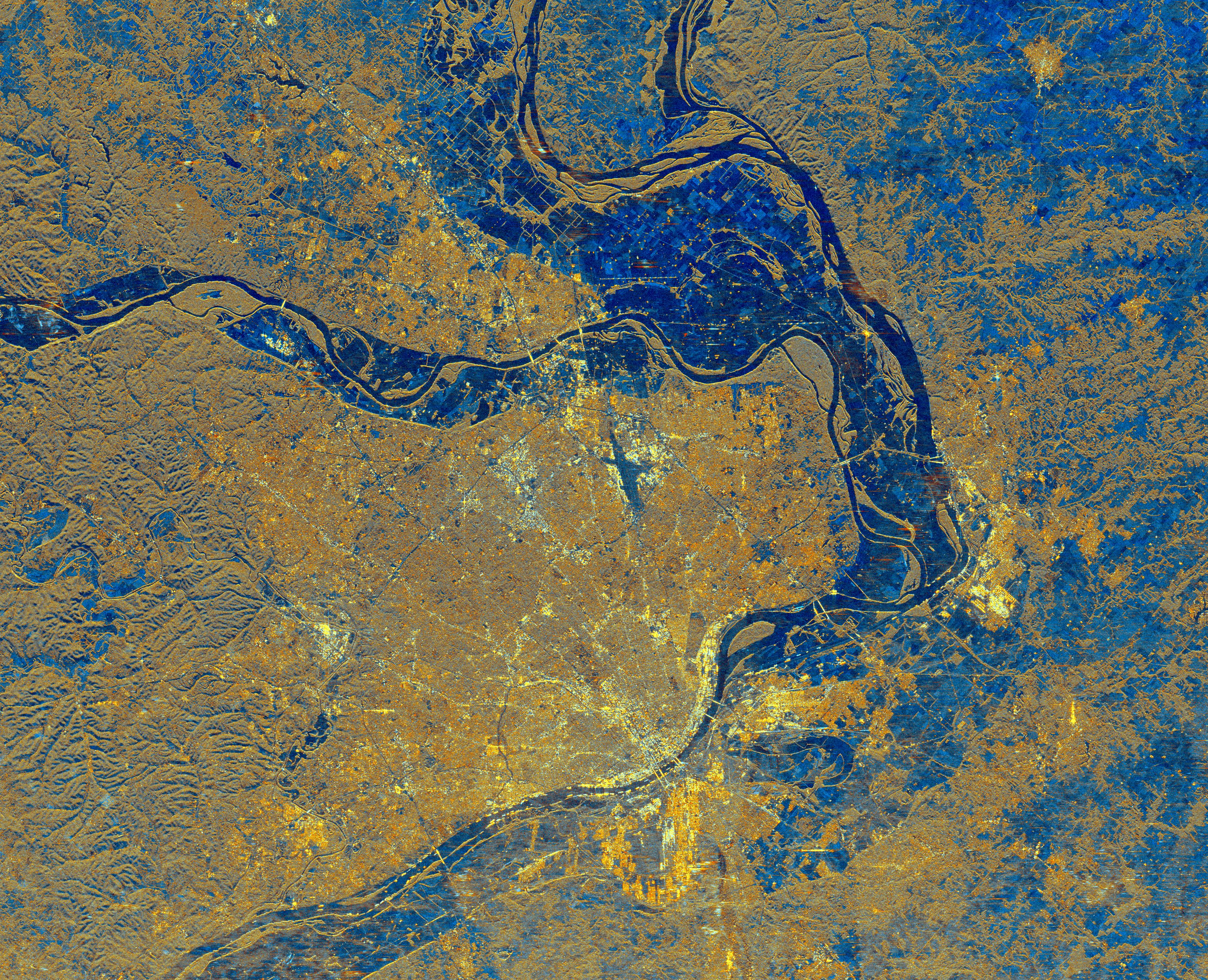
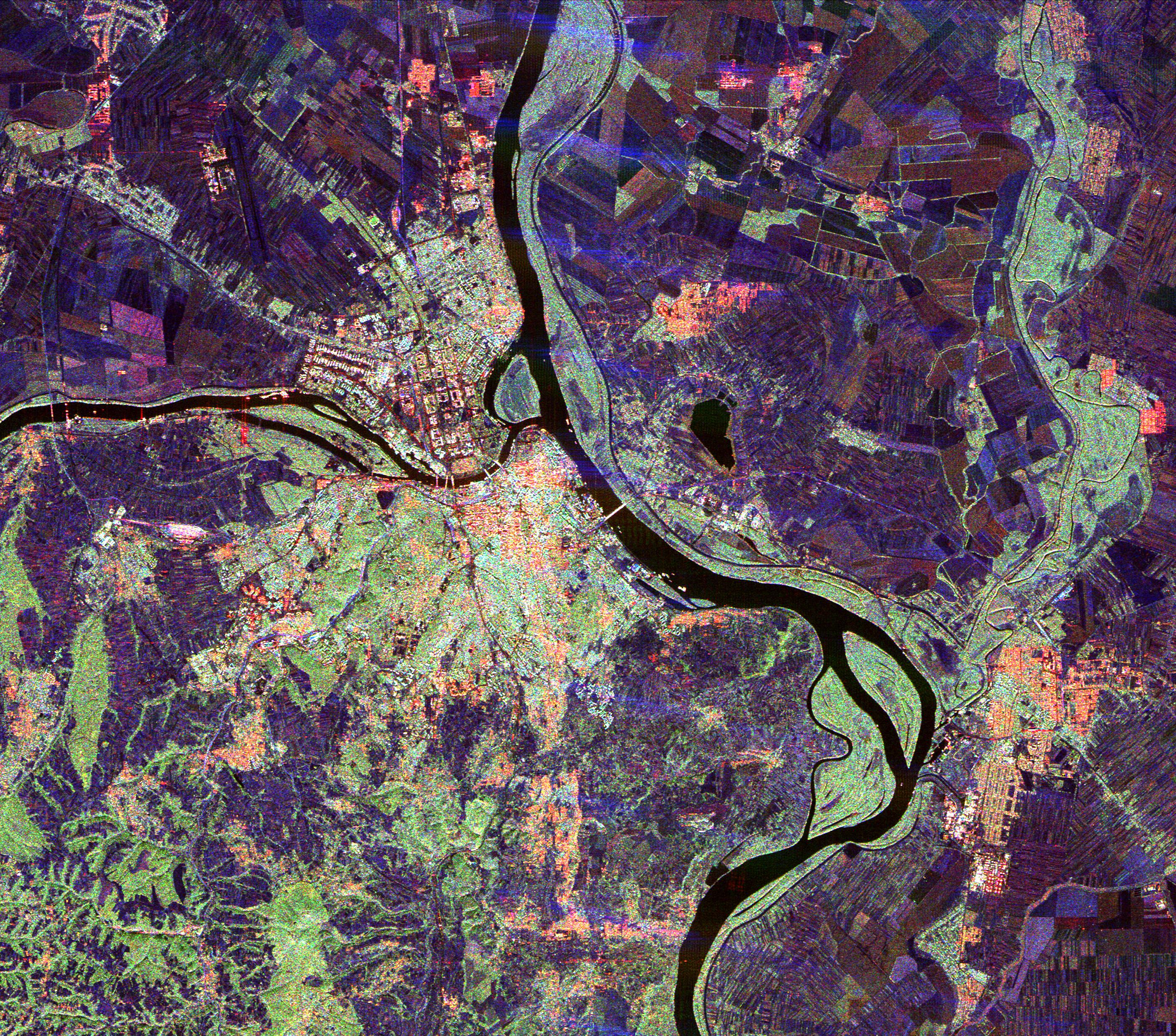
PIA01817:
-
Space Radar Image of St. Louis, Missouri
Full Resolution:
TIFF
(34.15 MB)
JPEG
(3.708 MB)
|
|
|
1999-04-15 |
Earth
|
Spaceborne Imaging Radar-C/X-Band Synthetic Aperture Radar
|
|
2820x4000x3 |
|
-
PIA01818:
-
Space Radar Image of Colorado River
Full Resolution:
TIFF
(41.37 MB)
JPEG
(2.792 MB)
|
|
|
1999-04-15 |
Earth
|
Spaceborne Imaging Radar-C/X-Band Synthetic Aperture Radar
|
|
4000x2850x3 |
|
-
PIA01819:
-
Space Radar Image of Craters of the Moon, Idaho
Full Resolution:
TIFF
(42.98 MB)
JPEG
(3.466 MB)
|
|
|
1999-04-15 |
Earth
|
Spaceborne Imaging Radar-C/X-Band Synthetic Aperture Radar
|
|
2495x4970x3 |

|
-
PIA01820:
-
Space Radar Image of Central Plain, Oman
Full Resolution:
TIFF
(44.4 MB)
JPEG
(3.969 MB)
|
|
|
1999-04-15 |
Earth
|
Spaceborne Imaging Radar-C/X-Band Synthetic Aperture Radar
|
|
2817x2273x3 |
|
-
PIA01821:
-
Space Radar Image of Randonia Rain Cell
Full Resolution:
TIFF
(20.31 MB)
JPEG
(2.657 MB)
|
|
|
1999-04-15 |
Earth
|
Spaceborne Imaging Radar-C/X-Band Synthetic Aperture Radar
|
|
2540x4396x3 |

|
-
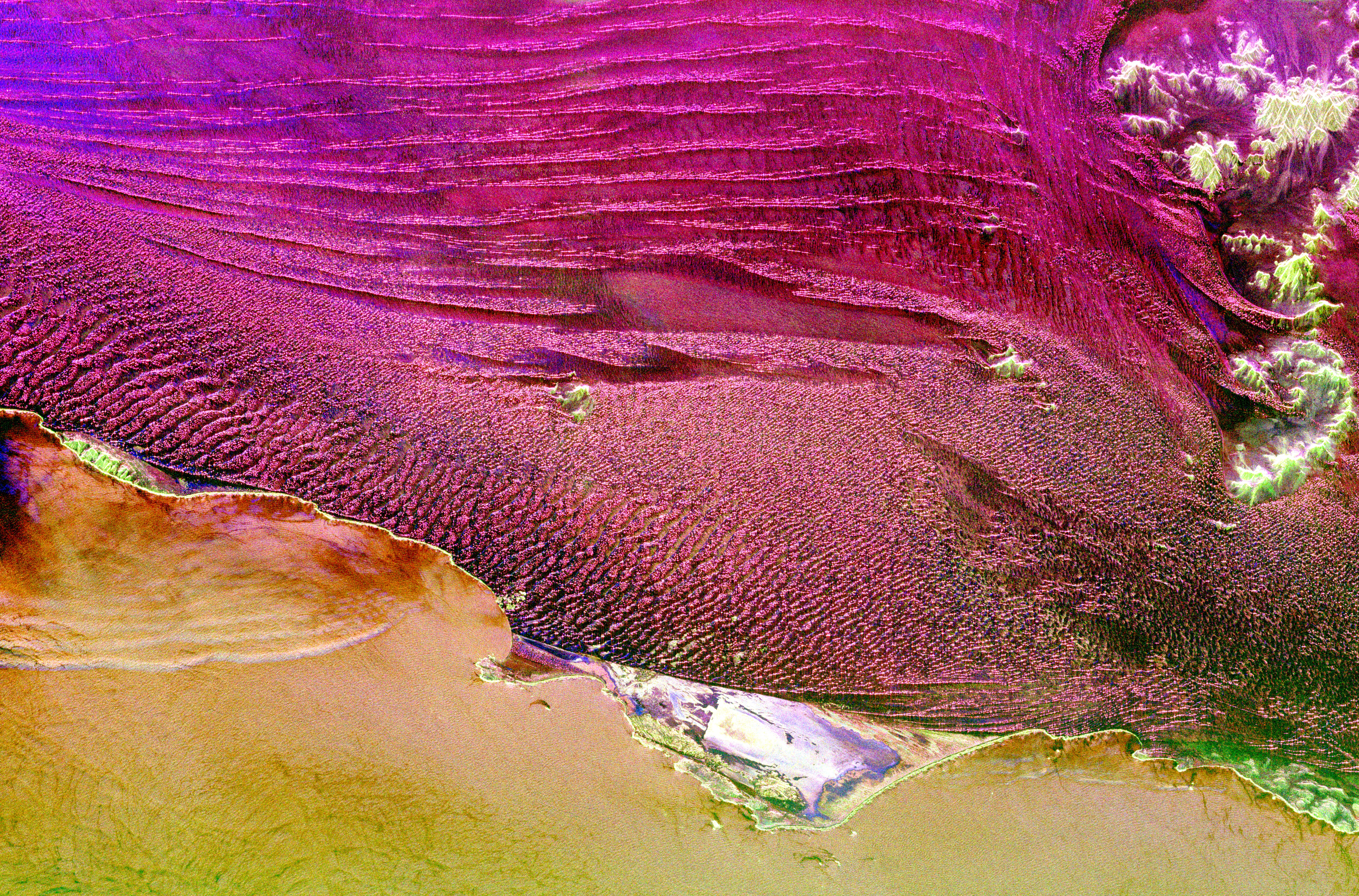
PIA01822:
-
Space Radar Image of Egypt Sand Dunes
Full Resolution:
TIFF
(28.15 MB)
JPEG
(3.102 MB)
|
|
|
1999-04-15 |
Earth
|
Spaceborne Imaging Radar-C/X-Band Synthetic Aperture Radar
|
|
3612x3502x3 |
|
-
PIA01824:
-
Space Radar Image of Athens, Greece
Full Resolution:
TIFF
(42.86 MB)
JPEG
(2.881 MB)
|
|
|
1999-04-15 |
Earth
|
Spaceborne Imaging Radar-C/X-Band Synthetic Aperture Radar
|
|
2413x4151x3 |

|
-
PIA01825:
-
Space Radar Image of Safsaf Oasis, Egypt
Full Resolution:
TIFF
(39.25 MB)
JPEG
(3.539 MB)
|
|
|
1999-04-15 |
Earth
|
Spaceborne Imaging Radar-C/X-Band Synthetic Aperture Radar
|
|
2913x2485x3 |

|
-
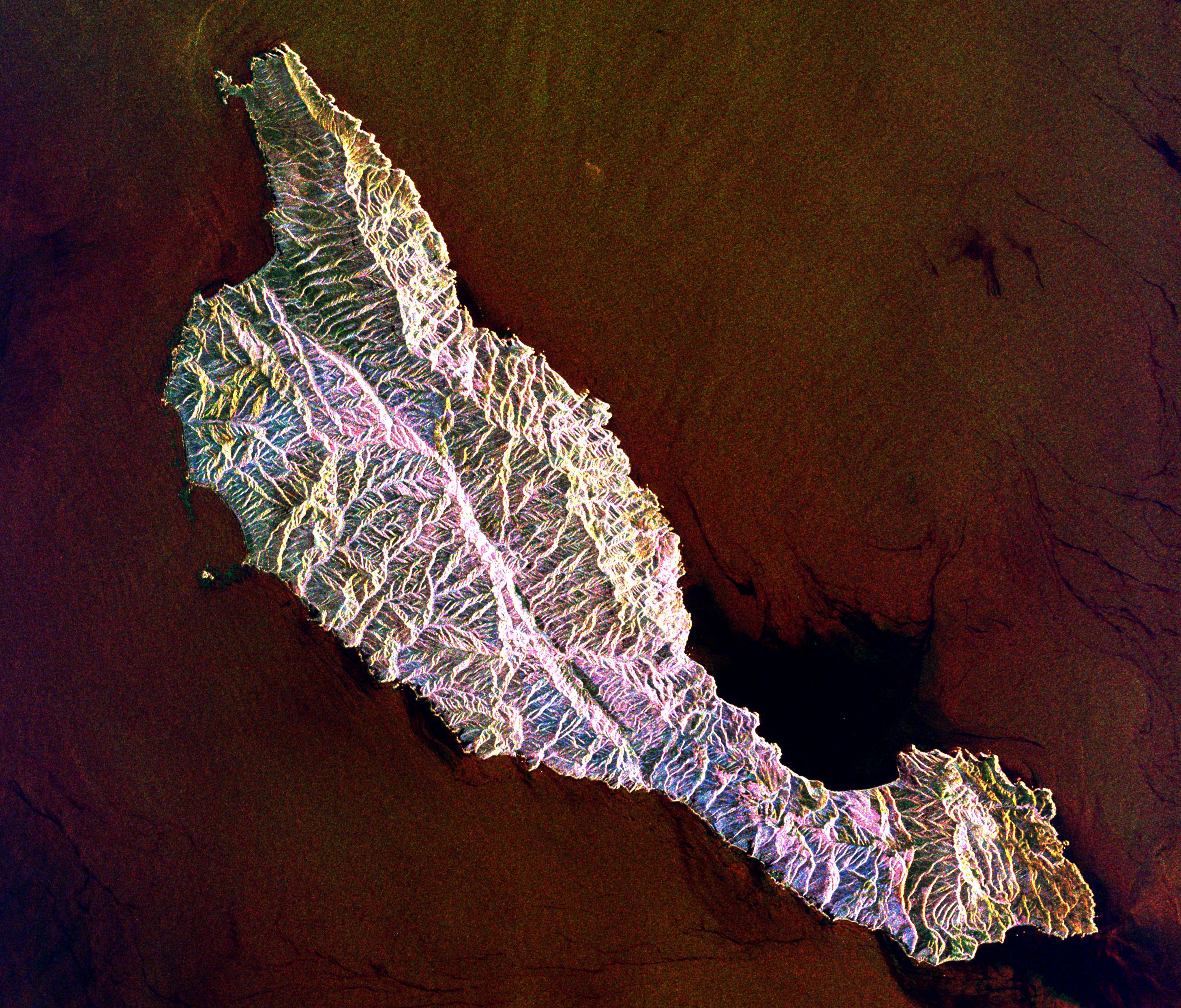
PIA01826:
-
Space Radar Image of Santa Cruz Island, California
Full Resolution:
TIFF
(22.87 MB)
JPEG
(1.617 MB)
|
|
|
1999-04-15 |
Earth
|
Spaceborne Imaging Radar-C/X-Band Synthetic Aperture Radar
|
|
3997x3408x3 |
|
-
PIA01827:
-
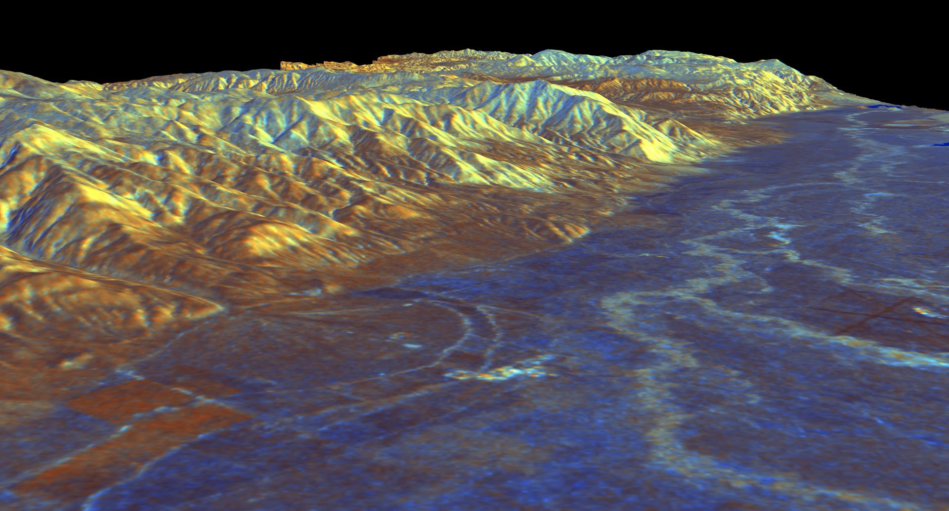
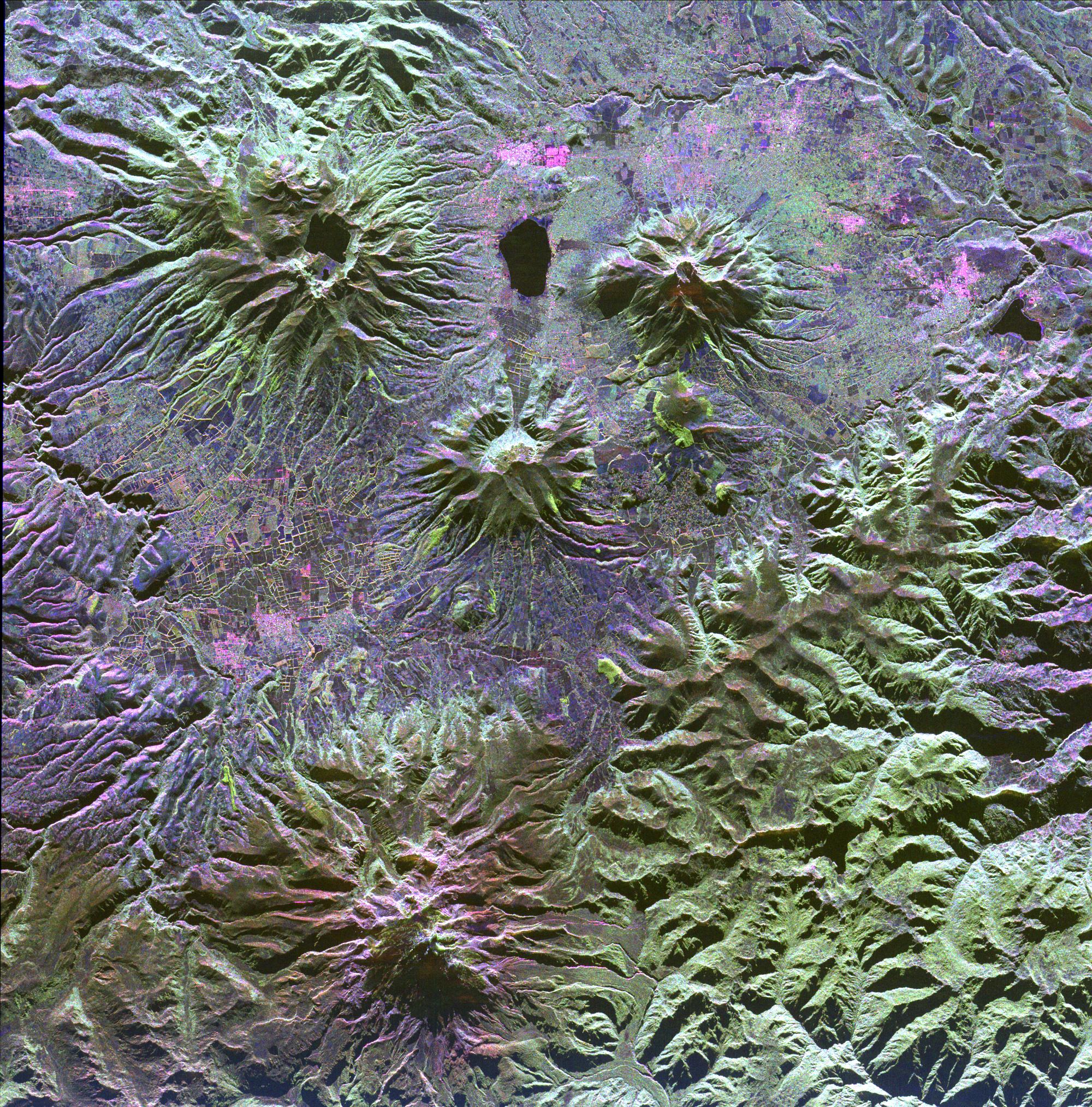
Space Radar Image of Ruiz Volcano, Colombia
Full Resolution:
TIFF
(47.97 MB)
JPEG
(3.49 MB)
|
|
|
1999-04-15 |
Earth
|
Spaceborne Imaging Radar-C/X-Band Synthetic Aperture Radar
|
|
3000x2612x3 |
|
-
PIA01828:
-
Space Radar Image of Sydney, Australia
Full Resolution:
TIFF
(28.37 MB)
JPEG
(2.644 MB)
|
|
|
1999-04-15 |
Earth
|
Spaceborne Imaging Radar-C/X-Band Synthetic Aperture Radar
|
|
2000x2400x3 |
|
-
PIA01829:
-
Space Radar Image of Canberra, Australia
Full Resolution:
TIFF
(17.97 MB)
JPEG
(1.306 MB)
|
|
|
1999-04-15 |
Earth
|
Spaceborne Imaging Radar-C/X-Band Synthetic Aperture Radar
|
|
3321x2916x3 |
|
-
PIA01830:
-
Space Radar Image of Victoria, Canada
Full Resolution:
TIFF
(26.86 MB)
JPEG
(2.501 MB)
|
|
|
1999-04-15 |
Earth
|
Spaceborne Imaging Radar-C/X-Band Synthetic Aperture Radar
|
|
2447x1789x3 |
|
-
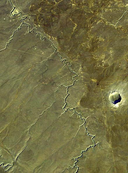
PIA01831:
-
Space Radar Image of Possible String of Impact Creaters
Full Resolution:
TIFF
(16.99 MB)
JPEG
(1.246 MB)
|
|
|
1999-04-15 |
Earth
|
Spaceborne Imaging Radar-C/X-Band Synthetic Aperture Radar
|
|
2206x1758x3 |

|
-
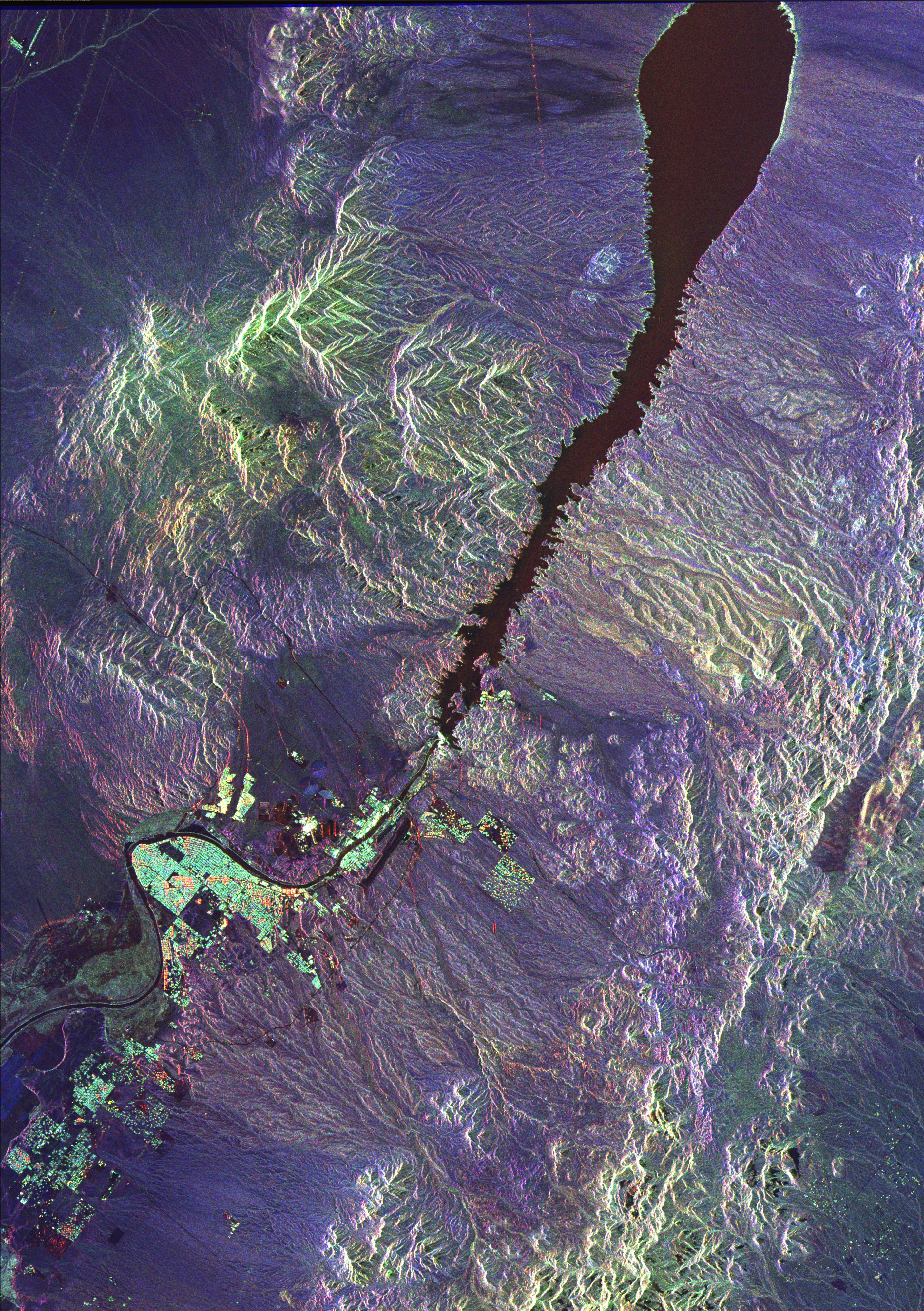
PIA01833:
-
Space Radar of Image Aorounga Impact Crater, Chad
Full Resolution:
TIFF
(14.7 MB)
JPEG
(1.28 MB)
|
|
|
1999-05-01 |
Earth
|
Spaceborne Imaging Radar-C/X-Band Synthetic Aperture Radar
|
|
3536x5297x3 |
|
-
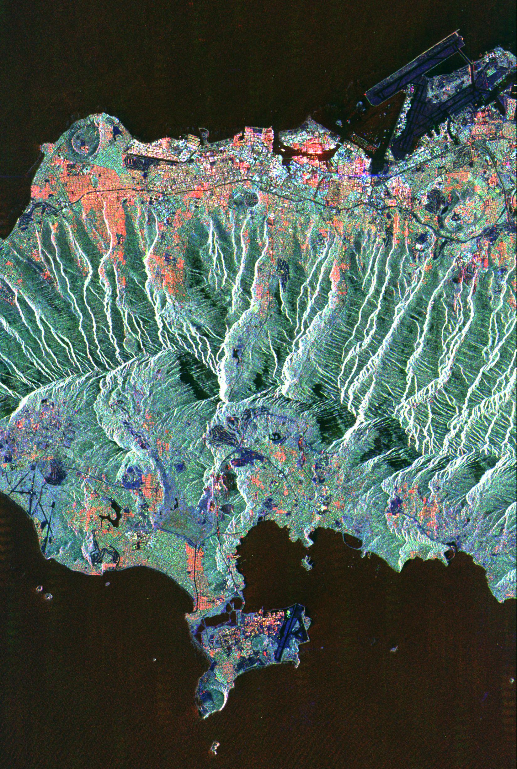
PIA01835:
-
Space Radar Image of Orange County, California (Annotated Version)
Full Resolution:
TIFF
(68.47 MB)
JPEG
(5.452 MB)
|
|
|
1999-04-15 |
Earth
|
Spaceborne Imaging Radar-C/X-Band Synthetic Aperture Radar
|
|
2233x3024x3 |
|
-
PIA01836:
-
Space Radar Image of Nile River Delta, Egypt
Full Resolution:
TIFF
(25.89 MB)
JPEG
(2.052 MB)
|
|
|
1999-04-15 |
Earth
|
Spaceborne Imaging Radar-C/X-Band Synthetic Aperture Radar
|
|
2325x1521x3 |
|
-
PIA01837:
-
Space Radar Image of Mineral Resources, China
Full Resolution:
TIFF
(9.551 MB)
JPEG
(1.02 MB)
|
|
|
1999-04-15 |
Earth
|
Spaceborne Imaging Radar-C/X-Band Synthetic Aperture Radar
|
|
2050x3120x3 |
|
-
PIA01838:
-
Space Radar Image of Great Wall of China
Full Resolution:
TIFF
(16.51 MB)
JPEG
(1.113 MB)
|
|
|
1999-04-15 |
Earth
|
Spaceborne Imaging Radar-C/X-Band Synthetic Aperture Radar
|
|
2805x2472x3 |
|
-
PIA01839:
-
Space Radar Image of Belgrade, Serbia
Full Resolution:
TIFF
(26.23 MB)
JPEG
(2.34 MB)
|
|
|
1999-04-15 |
Earth
|
Spaceborne Imaging Radar-C/X-Band Synthetic Aperture Radar
|
|
1920x1080x3 |
|
-
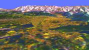
PIA01840:
-
Space Radar Image of Rocky Mountains, Montana
Full Resolution:
TIFF
(5.591 MB)
JPEG
(319.5 kB)
|
|
|
1999-04-15 |
Earth
|
Spaceborne Imaging Radar-C/X-Band Synthetic Aperture Radar
|
|
1920x1080x3 |
|
-
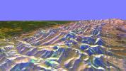
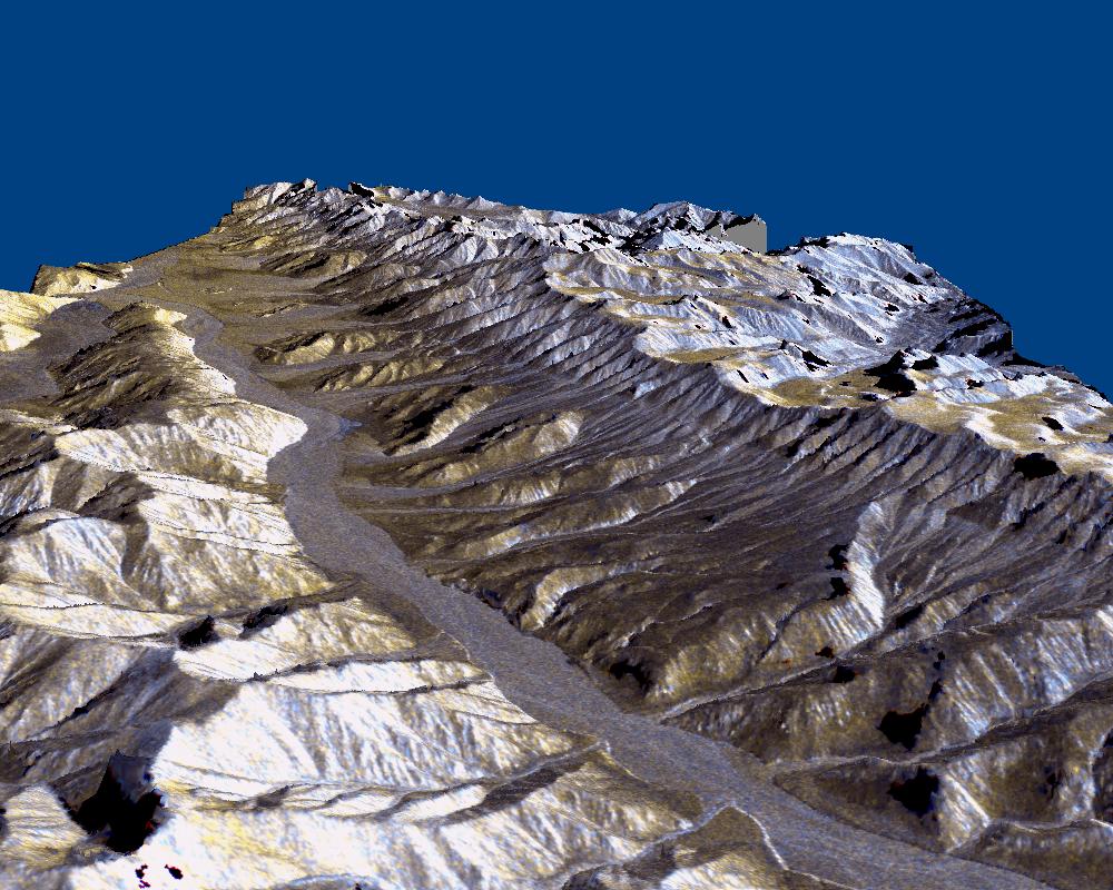
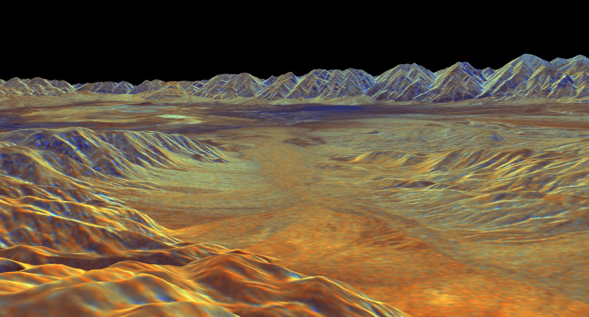
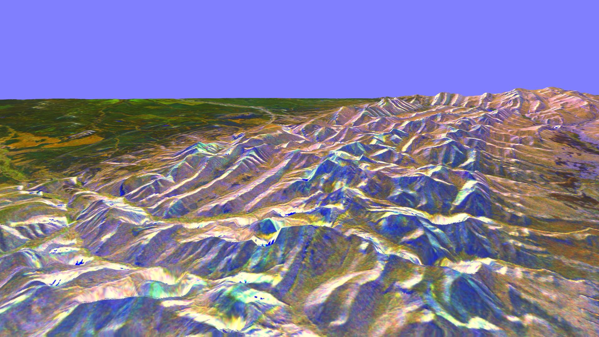
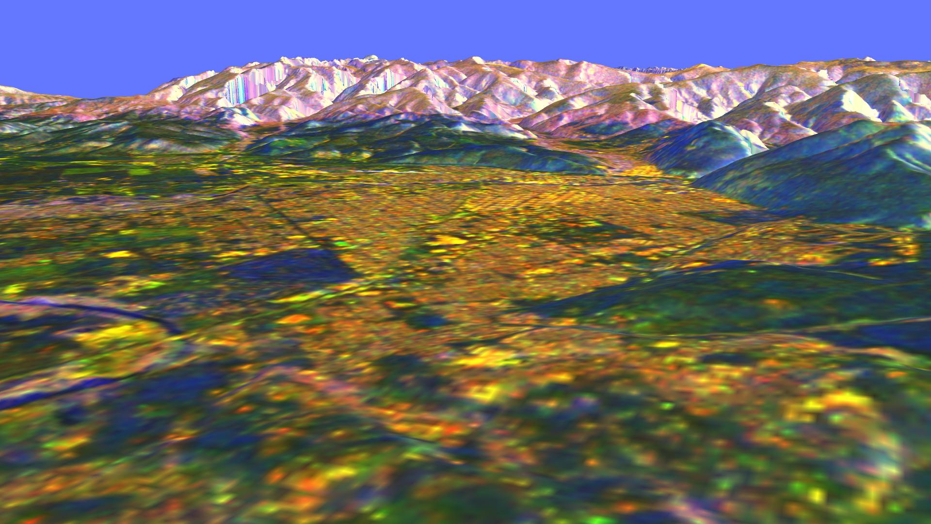
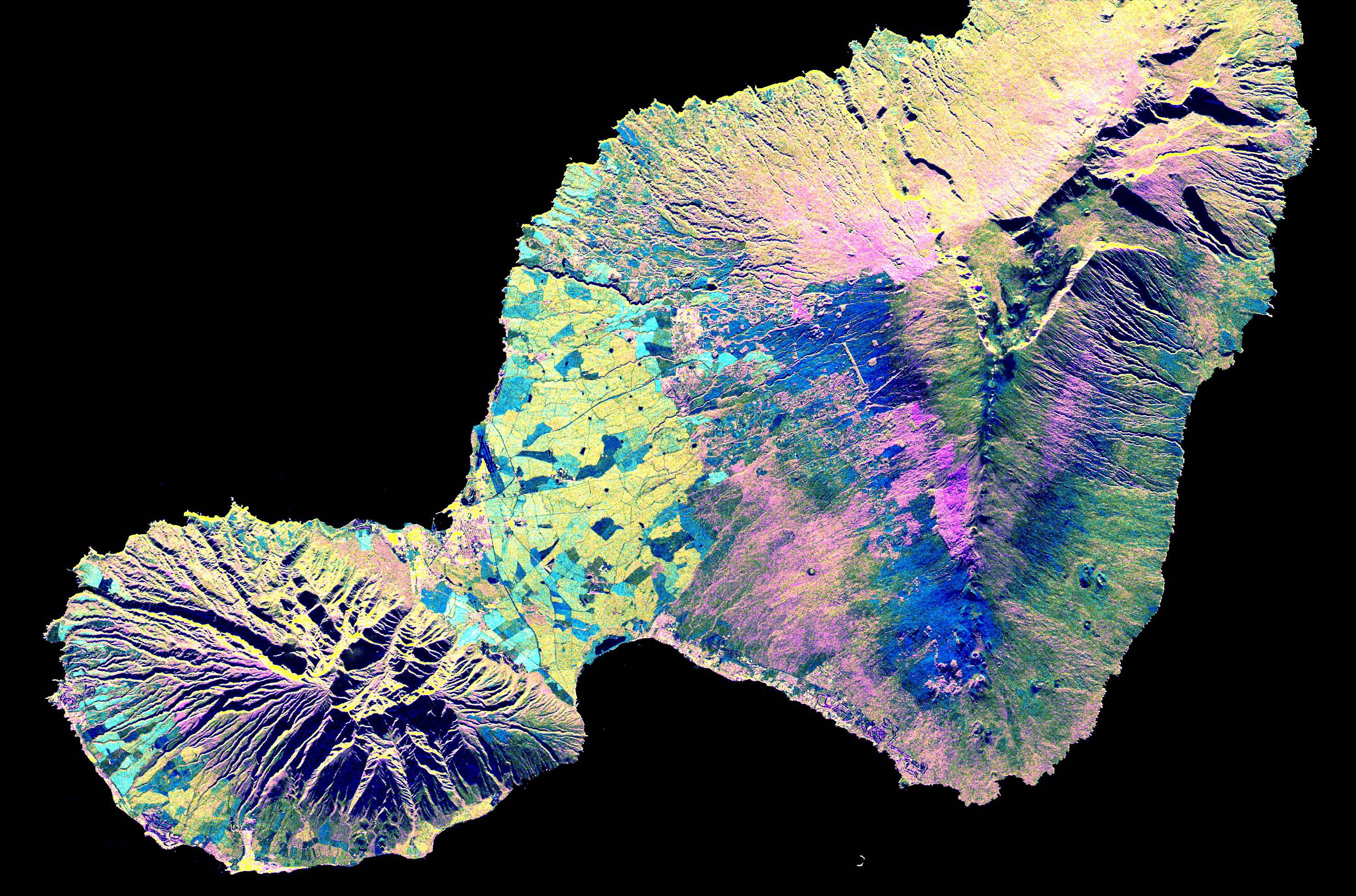
PIA01841:
-
Space Radar Image of Missoula, Montana in 3-D
Full Resolution:
TIFF
(6.282 MB)
JPEG
(267.3 kB)
|
|
|
1999-04-15 |
Earth
|
Spaceborne Imaging Radar-C/X-Band Synthetic Aperture Radar
|
|
1648x2449x3 |
|
-
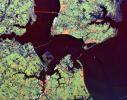
PIA01842:
-
Space Radar Image of Honolulu, Oahu, Hawaii
Full Resolution:
TIFF
(12.13 MB)
JPEG
(961.7 kB)
|
|
|
1999-04-15 |
Earth
|
Spaceborne Imaging Radar-C/X-Band Synthetic Aperture Radar
|
|
1792x2496x3 |
|
-
PIA01843:
-
Space Radar Image of Hong Kong
Full Resolution:
TIFF
(13.68 MB)
JPEG
(1.002 MB)
|
|
|
1999-04-15 |
Earth
|
Spaceborne Imaging Radar-C/X-Band Synthetic Aperture Radar
|
|
1196x627x3 |
|
-
PIA01844:
-
Space Radar Image of Calcutta, West Bengal, India
Full Resolution:
TIFF
(2.759 MB)
JPEG
(203.7 kB)
|
|
|
1999-04-15 |
Earth
|
Spaceborne Imaging Radar-C/X-Band Synthetic Aperture Radar
|
|
2466x2881x3 |
|
-
PIA01845:
-
Space Radar Image of Munich, Germany
Full Resolution:
TIFF
(26.31 MB)
JPEG
(2.135 MB)
|
|
|
1999-04-15 |
Earth
|
Spaceborne Imaging Radar-C/X-Band Synthetic Aperture Radar
|
|
5881x4501x3 |

|
-
PIA01846:
-
Space Radar Image of Tuva, Central Asia
Full Resolution:
TIFF
(80.21 MB)
JPEG
(6.547 MB)
|
|
|
1999-04-15 |
Earth
|
Spaceborne Imaging Radar-C/X-Band Synthetic Aperture Radar
|
|
2177x2057x3 |
|
-
PIA01847:
-
Space Radar Image of Phnom Phen, Cambodia
Full Resolution:
TIFF
(16.8 MB)
JPEG
(1.418 MB)
|
|
|
1999-04-15 |
Earth
|
Spaceborne Imaging Radar-C/X-Band Synthetic Aperture Radar
|
|
3295x1662x3 |
|
-
PIA01848:
-
Space Radar Image of County Kerry, Ireland
Full Resolution:
TIFF
(18.29 MB)
JPEG
(1.841 MB)
|
|
|
1999-04-15 |
Earth
|
Spaceborne Imaging Radar-C/X-Band Synthetic Aperture Radar
|
|
3000x3500x3 |
|
-
PIA01849:
-
Space Radar Image of Wenatchee, Washington
Full Resolution:
TIFF
(37.48 MB)
JPEG
(2.441 MB)
|
|
|
1999-04-15 |
Earth
|
Spaceborne Imaging Radar-C/X-Band Synthetic Aperture Radar
|
|
2808x3500x3 |
|
-
PIA01850:
-
Space Radar Image of Dnieper River, Ukraine
Full Resolution:
TIFF
(32.99 MB)
JPEG
(2.203 MB)
|
|
|
1999-04-15 |
Earth
|
Spaceborne Imaging Radar-C/X-Band Synthetic Aperture Radar
|
|
6000x3852x3 |
|
-
PIA01851:
-
Space Radar Image of Barstow, California
Full Resolution:
TIFF
(79.47 MB)
JPEG
(9.271 MB)
|
|
|
1999-04-15 |
Earth
|
Spaceborne Imaging Radar-C/X-Band Synthetic Aperture Radar
|
|
3841x4593x3 |

|
-
PIA01852:
-
Space Radar Image of Pinacate Volcanic Field, Mexico
Full Resolution:
TIFF
(64.12 MB)
JPEG
(5.228 MB)
|
|
|
1999-04-15 |
Earth
|
Spaceborne Imaging Radar-C/X-Band Synthetic Aperture Radar
|
|
4001x2640x3 |
|
-
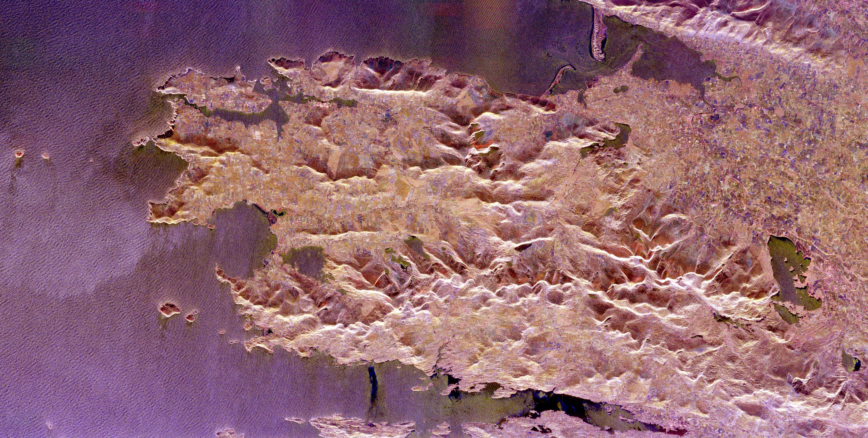
PIA01853:
-
Space Radar Image of Taipei, Taiwan
Full Resolution:
TIFF
(34.76 MB)
JPEG
(2.419 MB)
|
|
|
2000-04-27 |
Earth
|
Spaceborne Imaging Radar-C/X-Band Synthetic Aperture Radar
|
|
6577x4337x3 |

|
-
PIA01856:
-
Space Radar Image of Namibia Sand Dunes
Full Resolution:
TIFF
(86.77 MB)
JPEG
(8.973 MB)
|
|
|
1999-04-15 |
Earth
|
Spaceborne Imaging Radar-C/X-Band Synthetic Aperture Radar
|
|
6539x3444x3 |

|
-
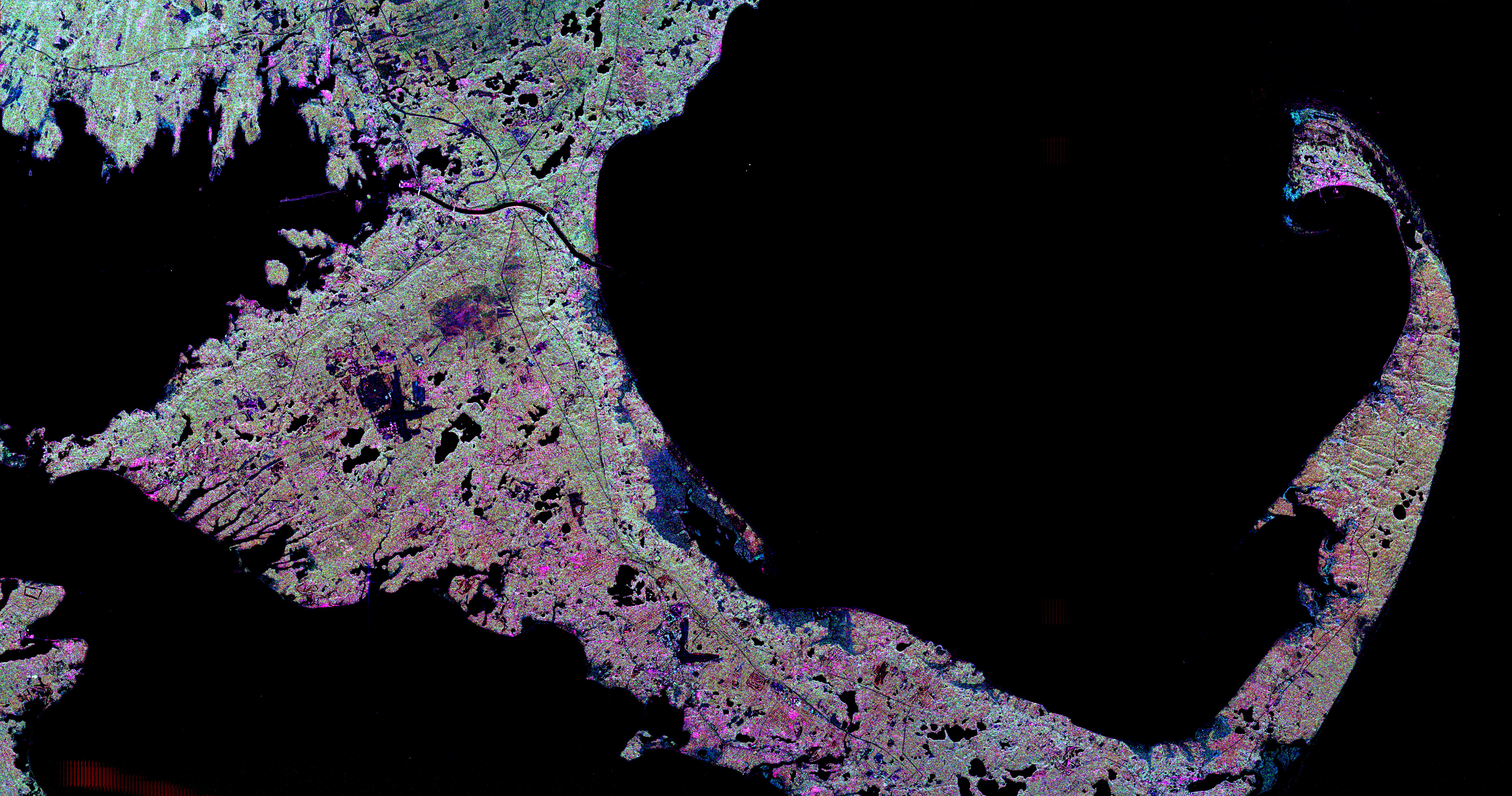
PIA01857:
-
Space Radar Image of Cape Cod, Massachusetts
Full Resolution:
TIFF
(25.1 MB)
JPEG
(3.779 MB)
|
|
|
1999-04-15 |
Earth
|
Spaceborne Imaging Radar-C/X-Band Synthetic Aperture Radar
|
|
2949x1949x3 |
|
-
PIA01858:
-
Space Radar Image of Maui, Hawaii
Full Resolution:
TIFF
(11.52 MB)
JPEG
(1.26 MB)
|
|
|
1999-04-15 |
Earth
|
Spaceborne Imaging Radar-C/X-Band Synthetic Aperture Radar
|
|
2733x2656x3 |
|
-
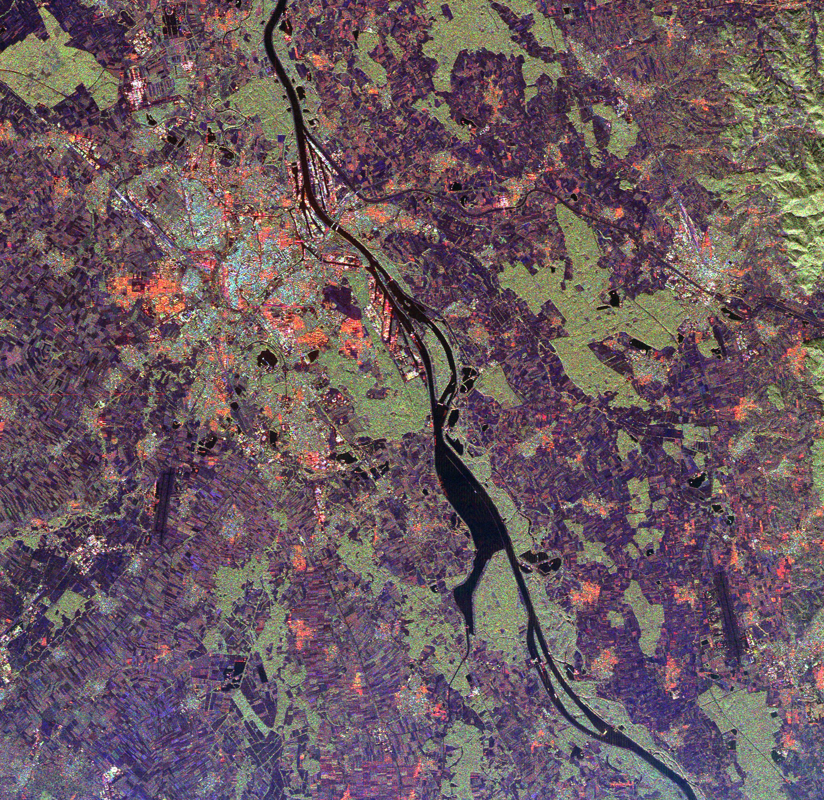
PIA01859:
-
Space Radar Image of Rhine River, France and Germany
Full Resolution:
TIFF
(27.7 MB)
JPEG
(2.372 MB)
|
|
|
1999-04-15 |
Earth
|
Spaceborne Imaging Radar-C/X-Band Synthetic Aperture Radar
|
|
4236x2788x3 |
|
-
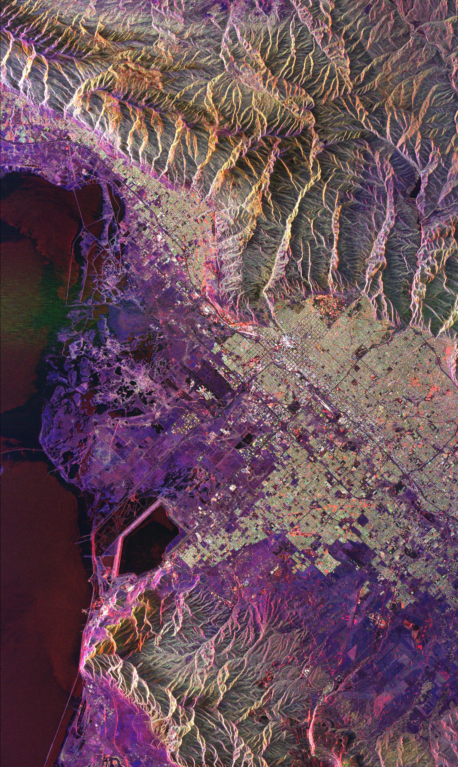
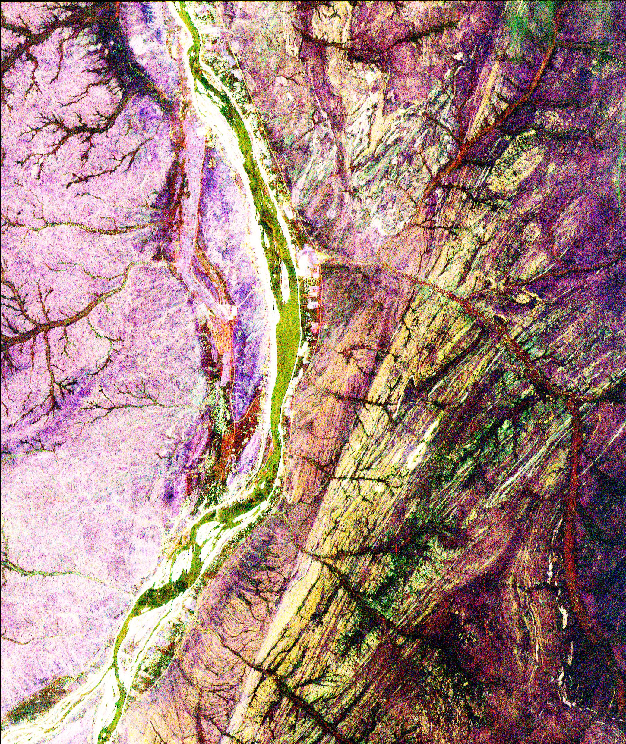
PIA01860:
-
Space Radar Image of Ventura County, California
Full Resolution:
TIFF
(42.27 MB)
JPEG
(3.482 MB)
|
|
|
1999-04-15 |
Earth
|
Spaceborne Imaging Radar-C/X-Band Synthetic Aperture Radar
|
|
1537x1081x3 |
|
-
PIA01861:
-
Space Radar Image of Sacramento, California
Full Resolution:
TIFF
(5.841 MB)
JPEG
(770.2 kB)
|
|
|
1999-04-15 |
Earth
|
Spaceborne Imaging Radar-C/X-Band Synthetic Aperture Radar
|
|
2985x2361x3 |
|
-
PIA01862:
-
Space Radar Image of Hampton Roads, Virginia
Full Resolution:
TIFF
(24.39 MB)
JPEG
(1.869 MB)
|
|
|
1999-04-15 |
Earth
|
Spaceborne Imaging Radar-C/X-Band Synthetic Aperture Radar
|
|
3537x2708x3 |

|
-
PIA01863:
-
Space Radar Image of Eastern Morocco
Full Resolution:
TIFF
(35.28 MB)
JPEG
(3.031 MB)
|
|
|
1999-12-21 |
Earth
|
Mariner Venus Mercury (Mariner 10)
|
|
922x749x3 |

|
-
PIA02441:
-
Earth and Moon as Viewed by Mariner 10
Full Resolution:
TIFF
(388.4 kB)
JPEG
(32.07 kB)
|
|
|
2000-08-17 |
Earth
|
European Remote Sensing Satellite Mission (ERS)
|
|
2135x2386x3 |
|
-
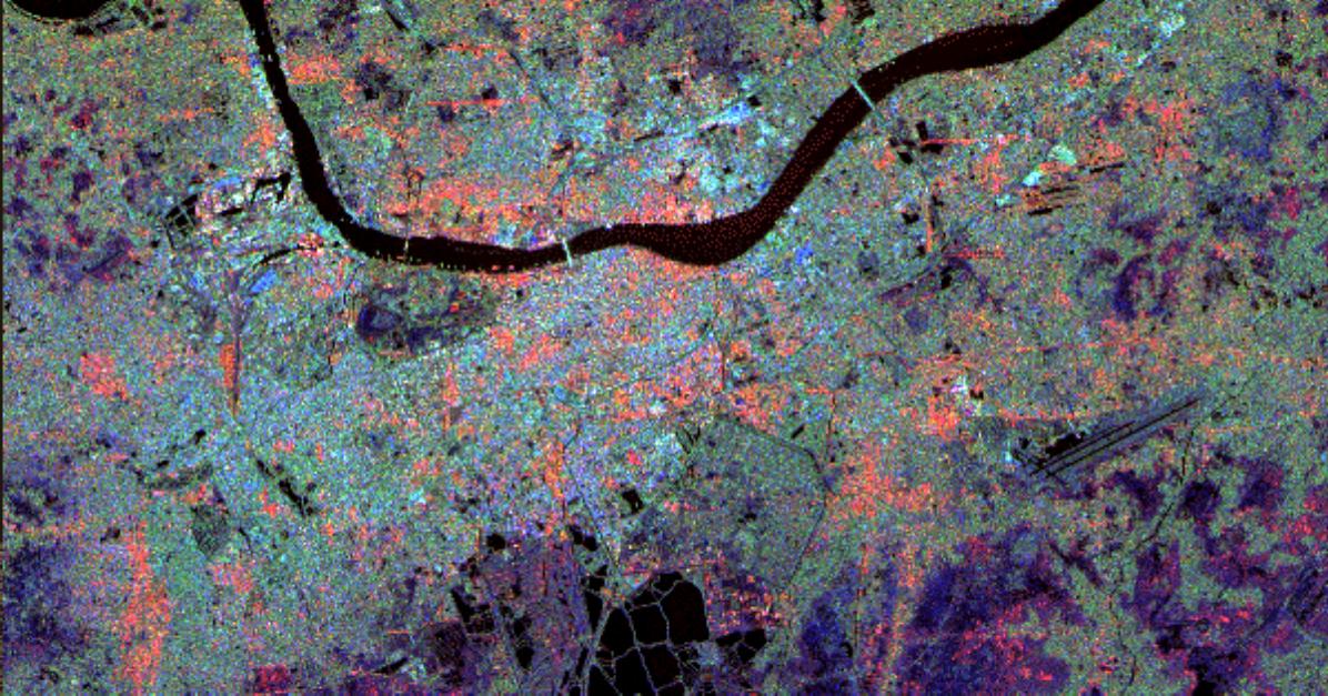
PIA02651:
-
Hayward Fault, California Interferogram
Full Resolution:
TIFF
(11.07 MB)
JPEG
(1.827 MB)
|
|
|
2000-11-04 |
Earth
|
Shuttle Imaging Radar A (SIR-A)
|
|
2452x3228x3 |
|
-
PIA02986:
-
Radar view of China
Full Resolution:
TIFF
(29.88 MB)
JPEG
(3.194 MB)
|
|
|
2000-11-04 |
Earth
|
Landsat
|
|
3739x3795x3 |
|
-
PIA02988:
-
Early Landsat View of Los Angeles and Vicinity
Full Resolution:
TIFF
(46.51 MB)
JPEG
(3.886 MB)
|
|
|
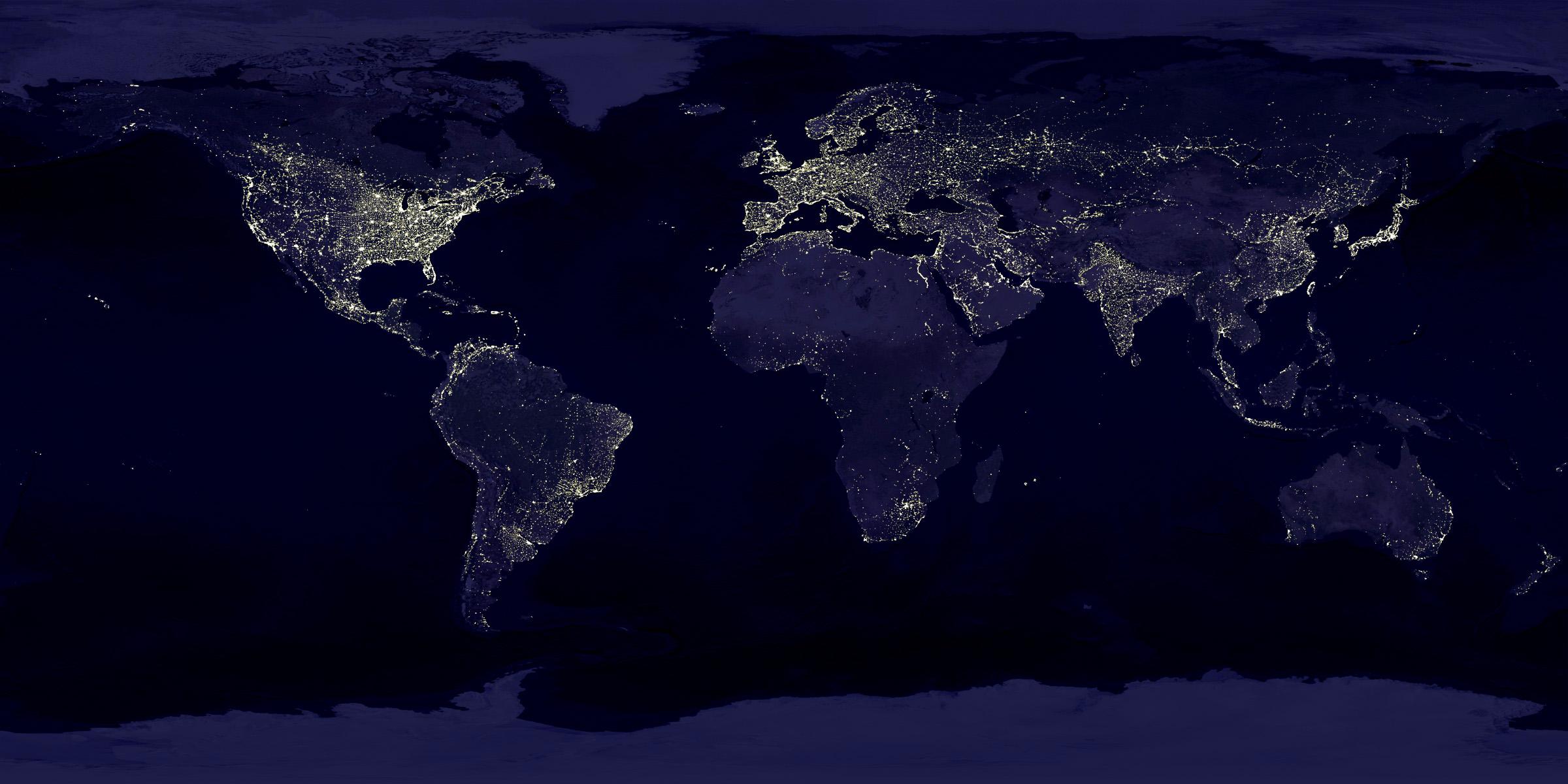
2000-11-09 |
Earth
|
Defense Meteorological Satellite Program (DMSP)
|
|
2400x1200x3 |

|
-
PIA02991:
-
Global City Lights
Full Resolution:
TIFF
(3.269 MB)
JPEG
(250.4 kB)
|
|
|
2000-11-14 |
Earth
|
Shuttle Imaging Radar A (SIR-A)
|
|
1152x894x3 |
|
-
PIA02994:
-
Radar view of New Guinea
Full Resolution:
TIFF
(3.784 MB)
JPEG
(327.2 kB)
|
|
|
2001-02-09 |
Earth
|
Landsat
|
|
439x593x3 |
|
-
PIA03212:
-
Barringer Meteor Crater, Arizona
Full Resolution:
TIFF
(912 kB)
JPEG
(53.7 kB)
|
|
|
2001-10-17 |
Earth
|
European Remote Sensing Satellite Mission (ERS)
|
|
2380x3122x3 |
|
-
PIA03458:
-
Lost Hills, California Interferogram
Full Resolution:
TIFF
(12.36 MB)
JPEG
(1.012 MB)
|
|
|
2004-06-02 |
Earth
|
Mars Exploration Rover (MER)
|
|
1576x980x3 |

|
-
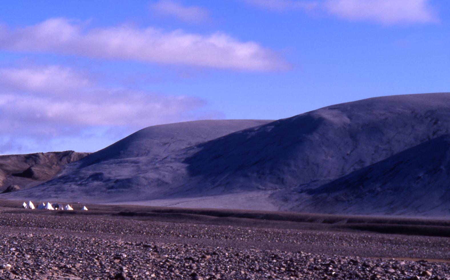
PIA06012:
-
Hills in Arctic Canada with Impact Origin
Full Resolution:
TIFF
(4.198 MB)
JPEG
(133.6 kB)
|
|
|
2005-12-22 |
Earth
|
Stardust
|
|
714x481x3 |

|
-
PIA03245:
-
Spacecraft -- Capsule Separation (Animation)

Full Resolution:
TIFF
(1.032 MB)
JPEG
(33.19 kB)
|
|
|
2005-12-22 |
Earth
|
Stardust
|
|
600x444x3 |
|
-
PIA03247:
-
Rehearsal: Infrared Views of Landing and Retrieval (Animation)
Full Resolution:
TIFF
(800.3 kB)
JPEG
(22.8 kB)
|
|
|
2005-12-22 |
Earth
|
Stardust
|
|
717x417x3 |
|
-
PIA03248:
-
Entry, Descent, Landing Animation (Animation)
Full Resolution:
TIFF
(898.3 kB)
JPEG
(35.84 kB)
|
|
|
2005-12-22 |
Earth
|
Stardust
|
|
715x481x3 |
|
-
PIA03249:
-
Spacecraft Trajectory (Animation)
Full Resolution:
TIFF
(1.033 MB)
JPEG
(25.15 kB)
|
|
|
2008-09-30 |
Earth
|
Phoenix
|
|
1228x910x1 |
|
-
PIA11207:
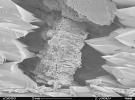
-
Terrestrial Clay under Microscope
Full Resolution:
TIFF
(1.119 MB)
JPEG
(140.7 kB)
|
|
|
2010-02-03 |
Earth
|
IRTF
|
|
1199x600x3 |

|
-
PIA12504:
-
NASA's Infrared Telescope Facility atop Mauna Kea, Hawaii
Full Resolution:
TIFF
(2.161 MB)
JPEG
(46.23 kB)
|
|
|
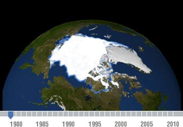
2011-07-06 |
Earth
|
|
|
361x252x3 |
|
-
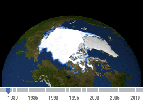
PIA14385:
-
Declining Arctic Sea Ice: 1979-2010
Full Resolution:
TIFF
(92.85 kB)
JPEG
(13.15 kB)
|
|
|
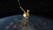
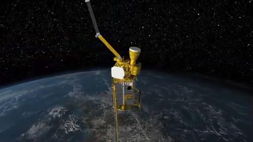
2011-07-12 |
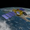
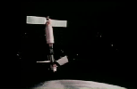
Earth
|
SMAP
|
|
500x280x3 |
|
-
PIA14392:
-
SMAP Flys over Earth (Artist Concept)
Full Resolution:
TIFF
(420.7 kB)
JPEG
(18.16 kB)
|
|
|
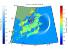
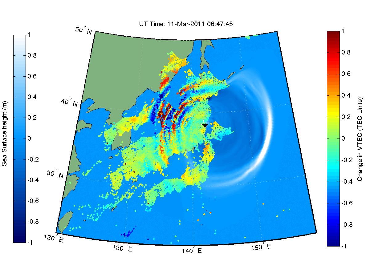
2012-02-16 |
Earth
|
|
|
1201x900x3 |
|
-
PIA14430:
-
NASA 'Sees' Tohoku-Oki Earthquake and Tsunami in Earth's Upper Atmosphere
Full Resolution:
TIFF
(1.084 MB)
JPEG
(136.1 kB)
|
|
|
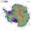
2011-08-18 |
Earth
|
|
|
1192x1192x3 |
|
-
PIA14556:
-
NASA Research Leads to First Complete Map of Antarctic Ice Flows
Full Resolution:
TIFF
(4.268 MB)
JPEG
(240.9 kB)
|
|
|
2011-08-18 |
Earth
|
|
|
455x256x3 |
|
-
PIA14557:
-
Flow of Ice Across Antarctica
Full Resolution:
TIFF
(350 kB)
JPEG
(35.4 kB)
|
|
|
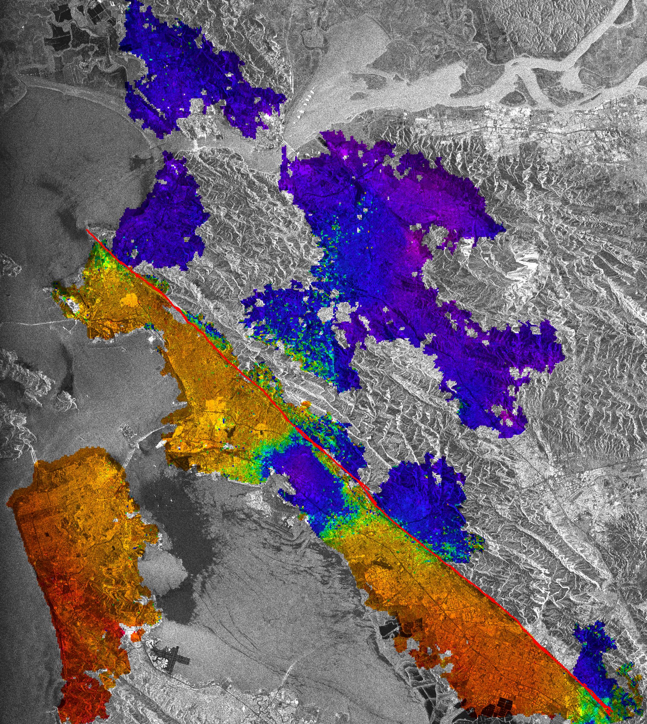
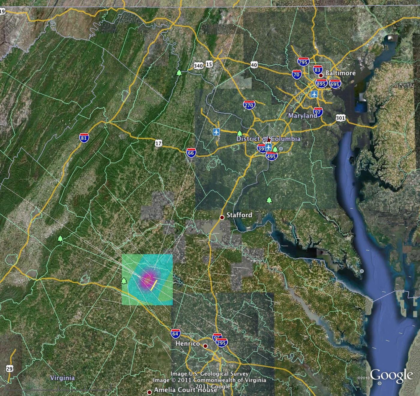
2011-08-24 |
Earth
|
QuakeSim
|
|
1400x1318x3 |

|
-
PIA13950:
-
Computer Model Estimates Permanent Ground Motions from the Aug. 23, 2011 Magnitude 5.8 Virginia Earthquake
Full Resolution:
TIFF
(5.546 MB)
JPEG
(490.4 kB)
|
|
|
2011-12-20 |
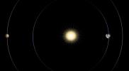
Kepler-20
|
Kepler
|
|
4200x2700x3 |
|
-
PIA14886:
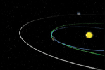
-
Earth-class Planets Line Up
Full Resolution:
TIFF
(34.02 MB)
JPEG
(440.2 kB)
|
|
|
2012-02-06 |
Earth
|
|
|
1023x574x3 |
|
-
PIA13203:
-
Kamoamoa Flow Field Animation
Full Resolution:
TIFF
(1.764 MB)
JPEG
(72.41 kB)
|
|
|
2012-02-06 |
Earth
|
|
|
1023x578x3 |
|
-
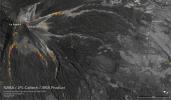
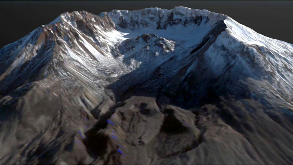
PIA15004:
-
Growth of the Mount St. Helens Lava Dome, September 24-October 14, 2004
Full Resolution:
TIFF
(1.776 MB)
JPEG
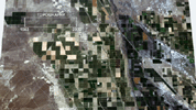
(73.99 kB)
|
|
|
2012-02-06 |
Earth
|
Shuttle Radar Topography Mission (SRTM)
|
|
1024x576x3 |
|
-
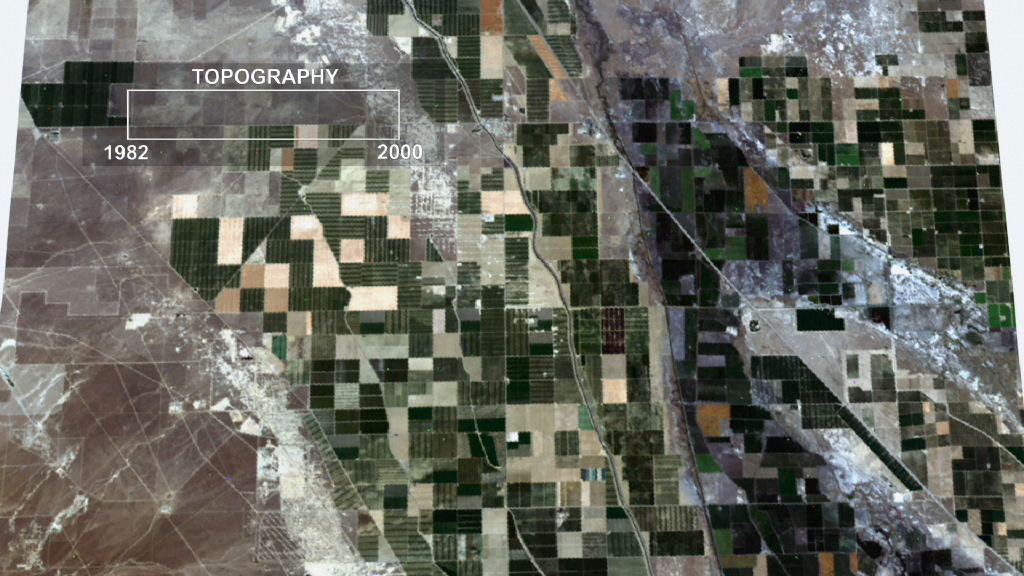
PIA13204:
-
Lost Hills Subsidence Animation
Full Resolution:
TIFF
(1.772 MB)
JPEG
(116.7 kB)
|
|
|
2018-06-15 |
Earth
|
ARIA
|
|
5493x3209x3 |
|
-
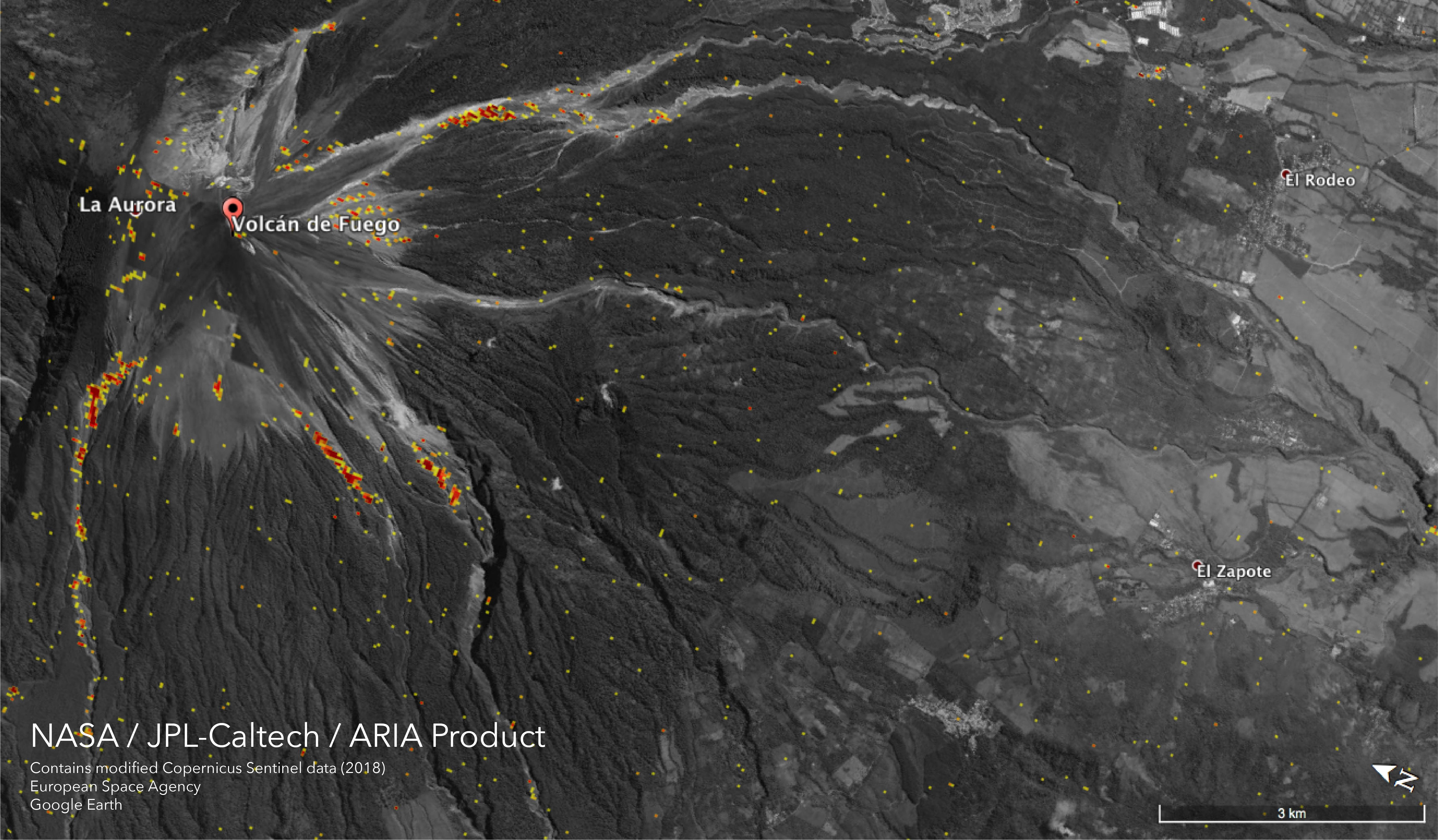
PIA22532:
-
NASA Damage Map Shows Effects of Destructive Guatemala Volcano Eruption
Full Resolution:
TIFF
(11.55 MB)
JPEG
(1.777 MB)
|
|
|
2012-06-08 |
Earth
|
LDSD
|
|
5704x1697x3 |
|
-
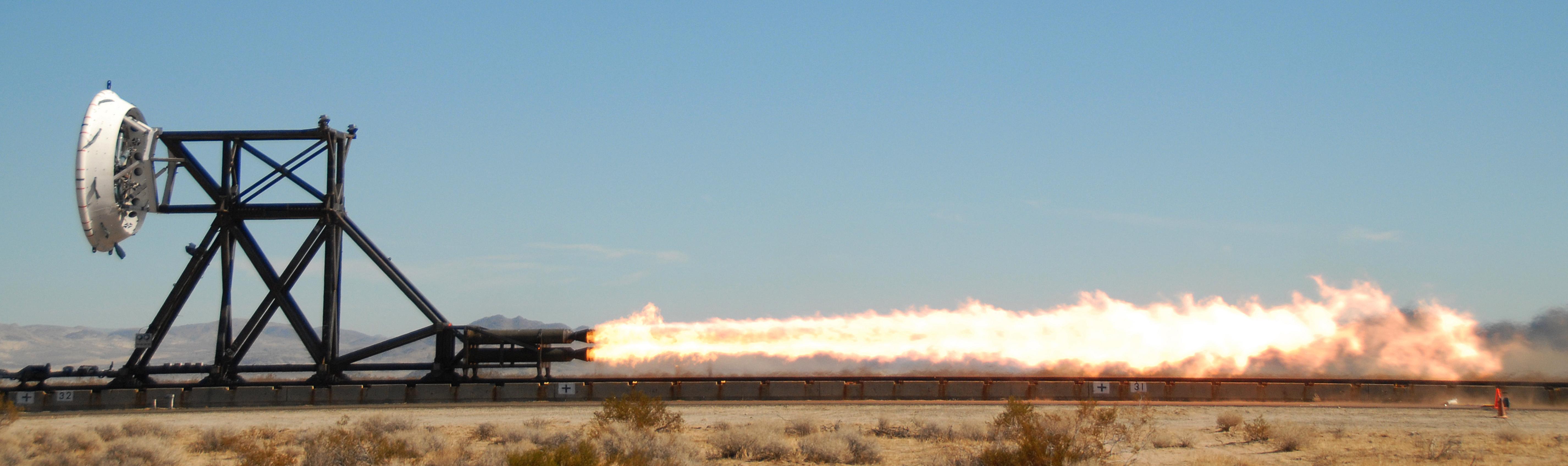
PIA15798:
-
NASA Tests Future Mars Landing Technology
Full Resolution:
TIFF
(29.04 MB)
JPEG
(641 kB)
|
|
|
2012-08-27 |
Earth
|
Mars Science Laboratory (MSL)
|
|
2896x1944x3 |
|
-
PIA16098:
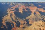
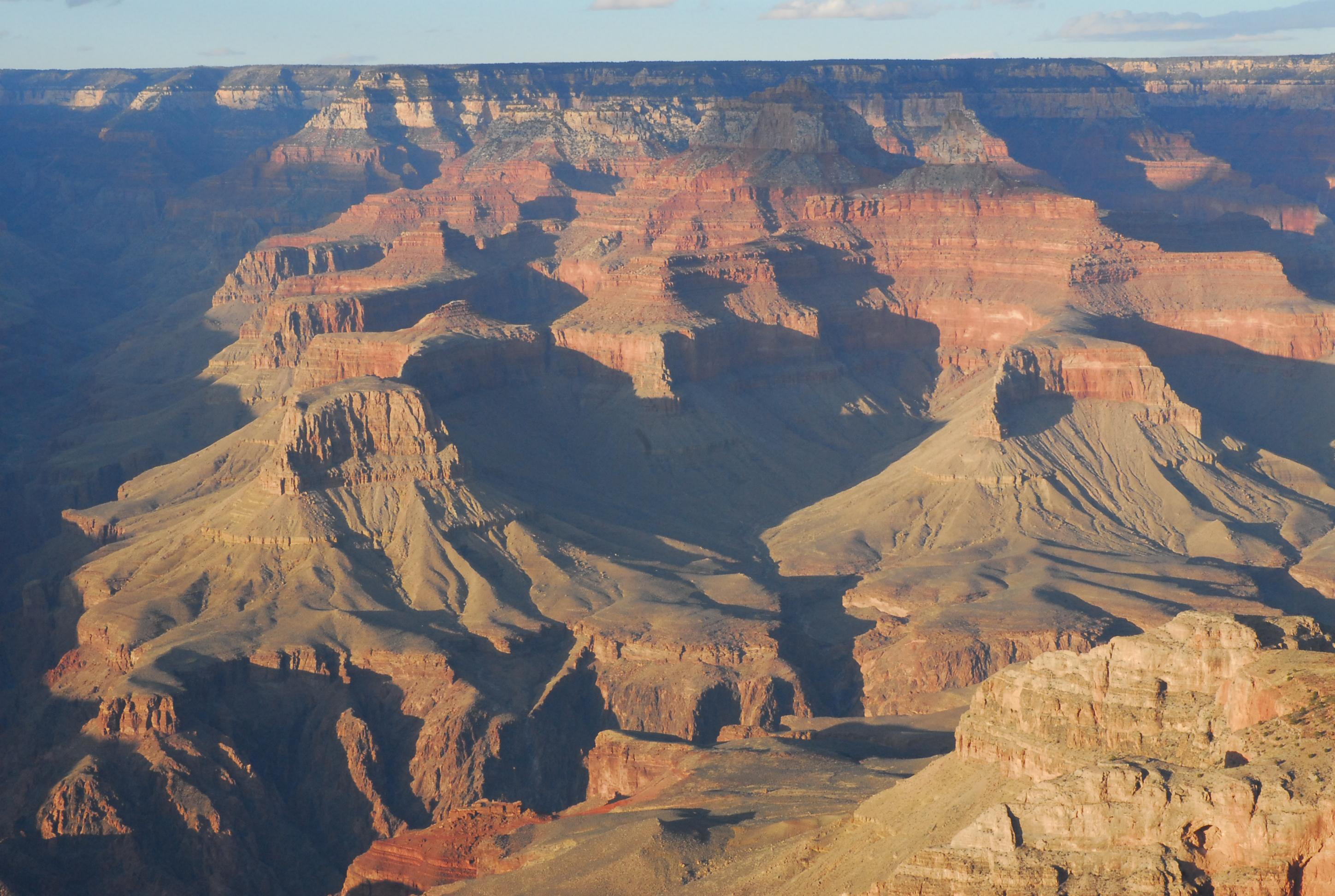
-
Grand Canyon Similar to Mount Sharp
Full Resolution:
TIFF
(16.9 MB)
JPEG
(643.9 kB)
|
|
|
2012-09-13 |
Earth
|
ADAPT
|
|
3456x5184x3 |
|
-
PIA16119:
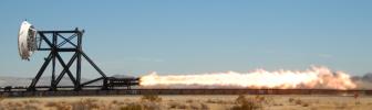
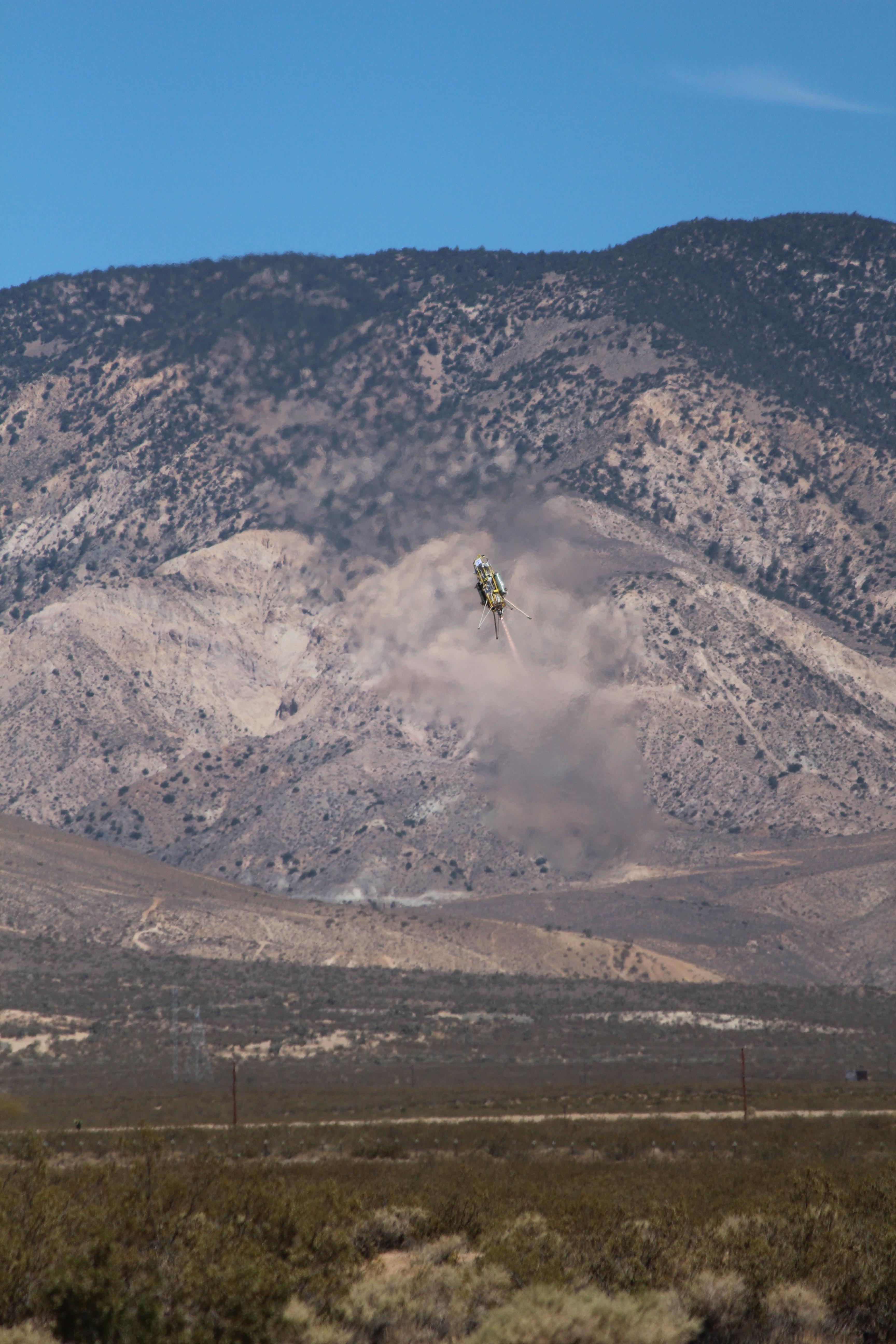
-
ADAPT Rocket Test
Full Resolution:
TIFF
(53.77 MB)
JPEG
(1.477 MB)
|
|
|
2012-09-27 |
Earth
|
|
|
965x720x3 |

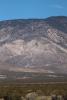
|
-
PIA16191:
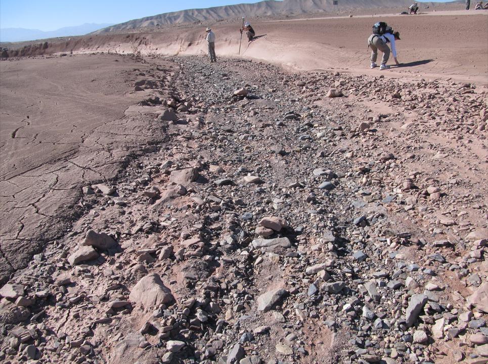
-
Dry Streambed on Alluvial Fan in Northern Chile
Full Resolution:
TIFF
(2.085 MB)
JPEG
(221.9 kB)
|
|
|
2013-03-20 |
Mars
|
|
|
726x400x3 |
|
-
PIA16811:
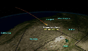
-
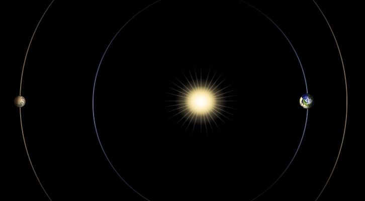
Geometry of Mars Solar Conjunction
Full Resolution:
TIFF
(871.7 kB)
JPEG
(12.1 kB)
|
|
|
2013-02-16 |
Earth
|
|
|
3029x1080x3 |
|
-
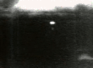
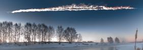
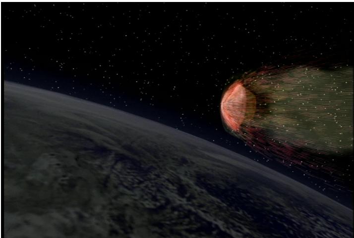
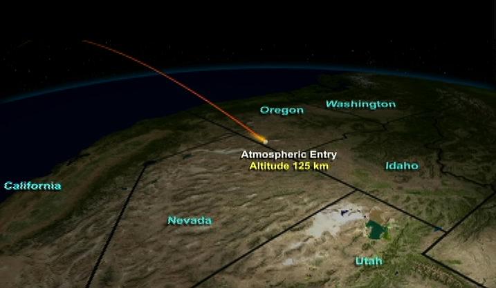
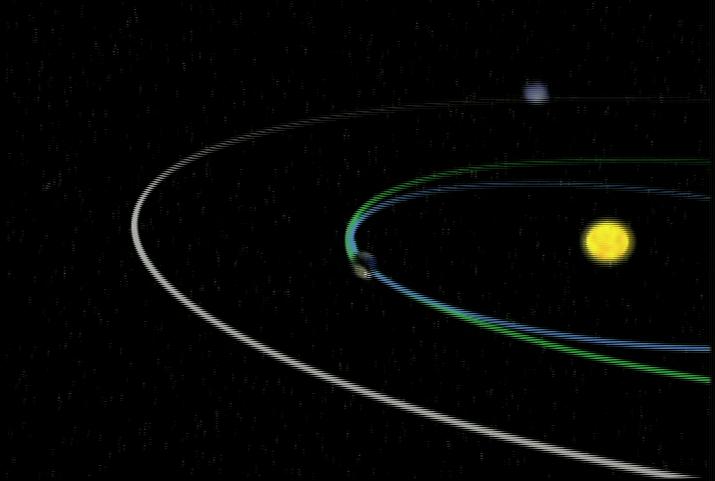
PIA16828:
-
Fireball Streaking over Russia
Full Resolution:
TIFF
(9.819 MB)
JPEG
(382.3 kB)
|
|
|
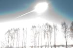
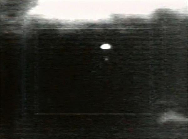
2013-02-16 |
Earth
|
|
|
1920x1280x3 |
|
-
PIA16829:
-
Fireball Flash over Russia
Full Resolution:
TIFF
(7.376 MB)
JPEG
(199.8 kB)
|
|
|
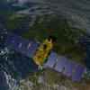
2013-05-23 |
Earth
|
Jason-3
|
|
8192x8192x3 |
|
-
PIA14439:
-
Artist's Concept of U.S.-European Jason-3 Ocean Altimetry Satellite over California
Full Resolution:
TIFF
(201.4 MB)
JPEG
(4.259 MB)
|
|
|
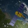
2013-05-23 |
Earth
|
Jason-3
|
|
8192x8192x3 |
|
-
PIA14440:
-
Artist's Concept of U.S.-European Jason-3 Ocean Altimetry Satellite over France
Full Resolution:
TIFF
(201.4 MB)
JPEG
(4.08 MB)
|
|
|
2013-05-23 |
Earth
|
Jason-3
|
|
8192x8192x3 |
|
-
PIA14441:
-
Artist's Concept of U.S.-European Jason-3 Ocean Altimetry Satellite over the Amazon
Full Resolution:
TIFF
(201.4 MB)
JPEG
(3.898 MB)
|
|
|
2013-06-13 |
Earth
|
|
|
3264x2448x3 |
|
-
PIA17281:
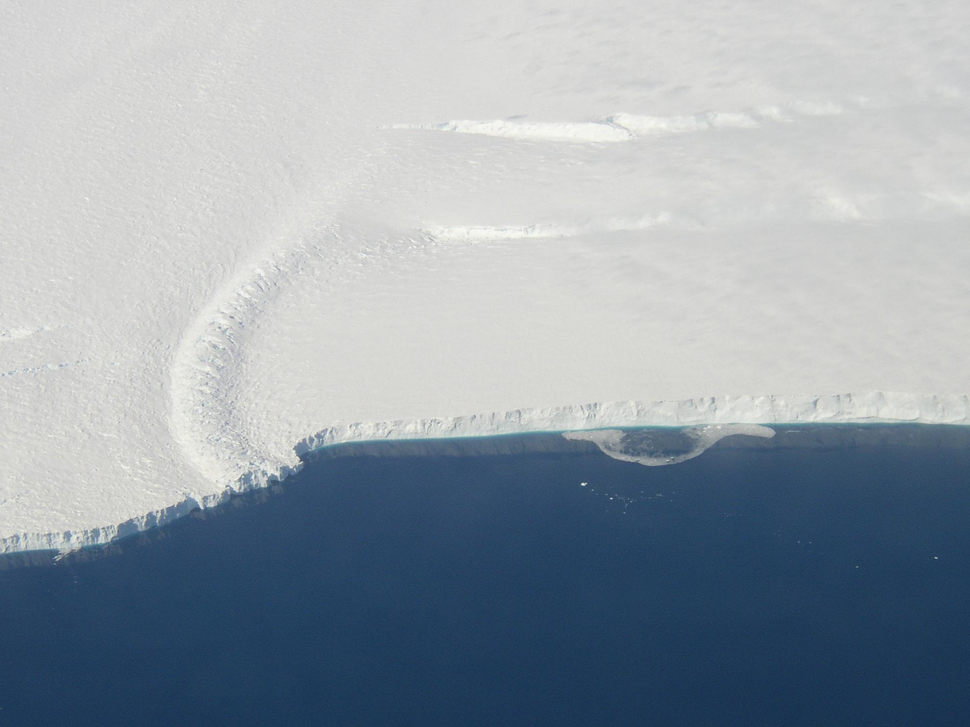
-
Ice Front at Venable Ice Shelf
Full Resolution:
TIFF
(23.98 MB)
JPEG
(803.2 kB)
|
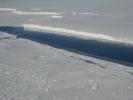
|
|
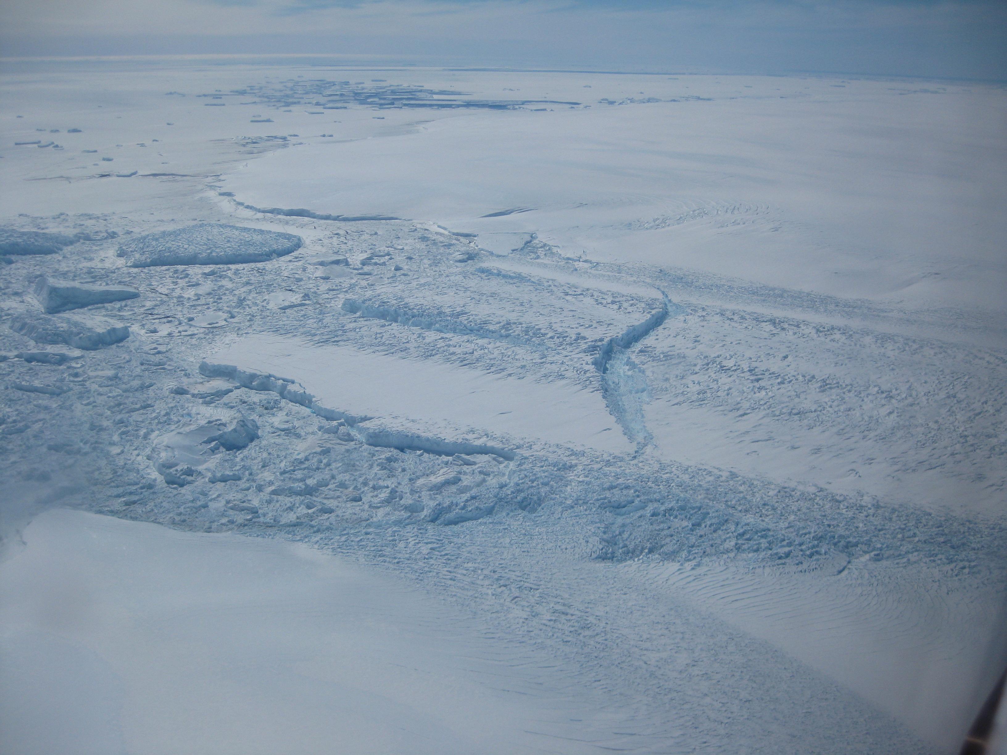
2013-06-13 |
Earth
|
|
|
3264x2448x3 |

|
-
PIA17282:
-
Dibble Ice Shelf
Full Resolution:
TIFF
(23.98 MB)
JPEG
(800.2 kB)
|
|
|
2013-06-13 |
Earth
|
|
|
1984x1488x3 |
|
-
PIA17283:
-
Pine Island Glacier Ice Shelf
Full Resolution:
TIFF
(8.86 MB)
JPEG
(202.1 kB)
|
|
|
2013-06-27 |
Earth
|
Seasat
|
|
999x654x3 |
|
-
PIA15816:
-
Seasat Celebrates Landmark in Remote-Sensing History
Full Resolution:
TIFF
(1.961 MB)
JPEG
(21.08 kB)
|
|
|
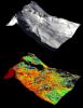
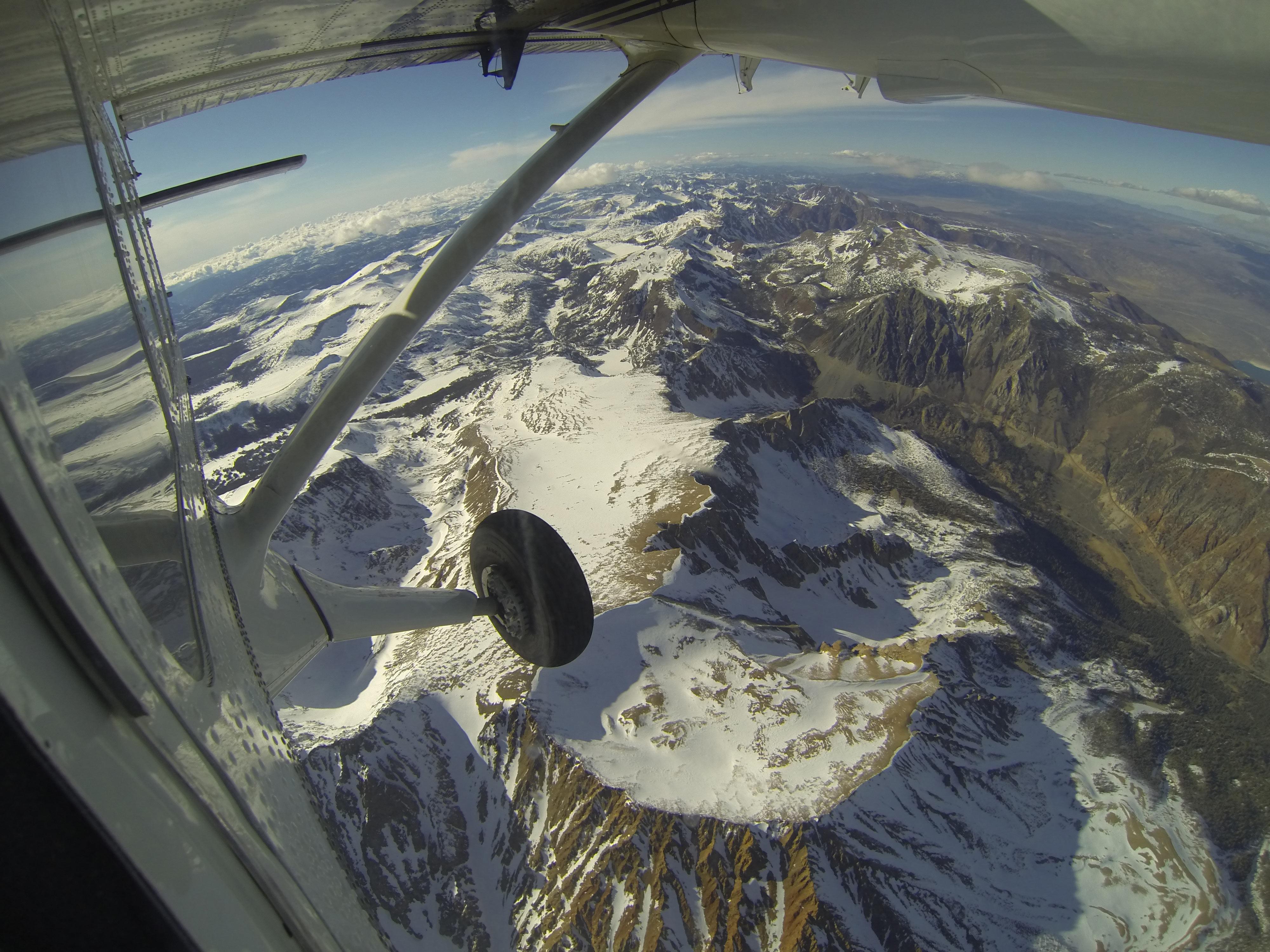
2013-05-02 |
Earth
|
Airborne Snow Observatory
|
|
4000x3000x3 |
|
-
PIA17771:
-
Tuolumne River Basin seen by NASA's Airborne Snow Observatory
Full Resolution:
TIFF
(36.01 MB)
JPEG
(1.478 MB)
|
|
|
2013-05-02 |
Earth
|
Airborne Snow Observatory
|
|
910x1178x3 |
|
-
PIA17772:
-
Snow Depth Depicted on Mt. Lyell by NASA's Airborne Snow Observatory
Full Resolution:
TIFF
(3.217 MB)
JPEG
(170 kB)
|
 Planetary Data System


