|
Your search criteria found 3151 images Feature Name |
| My List |
Addition Date | Target | Mission |
Instrument
|
Size |

|
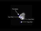
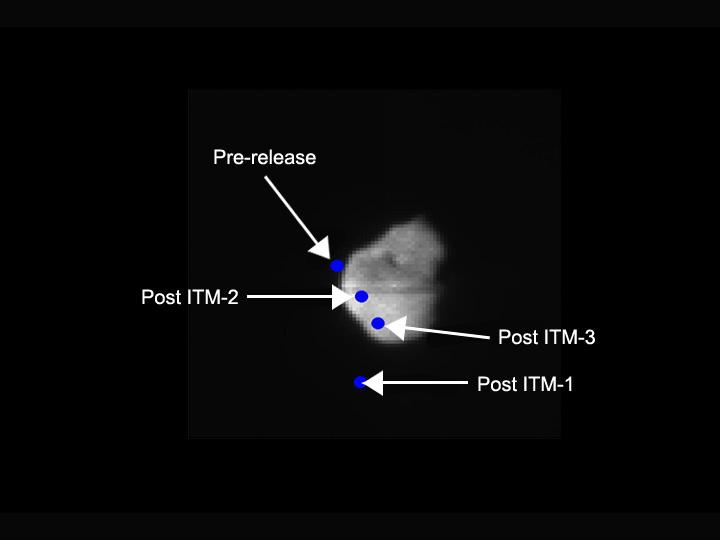
2005-07-05 | Tempel 1 |
Deep Impact |
Autonomous Navigation System |
720x540x3 |
|
|||||
|
|
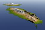
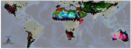
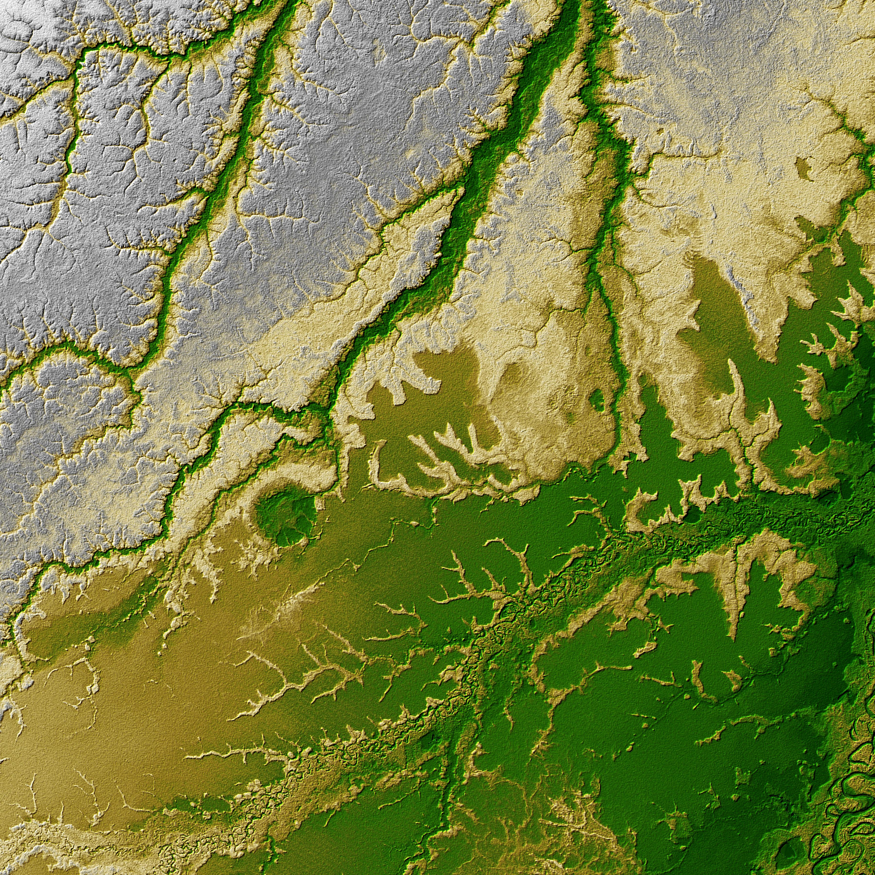
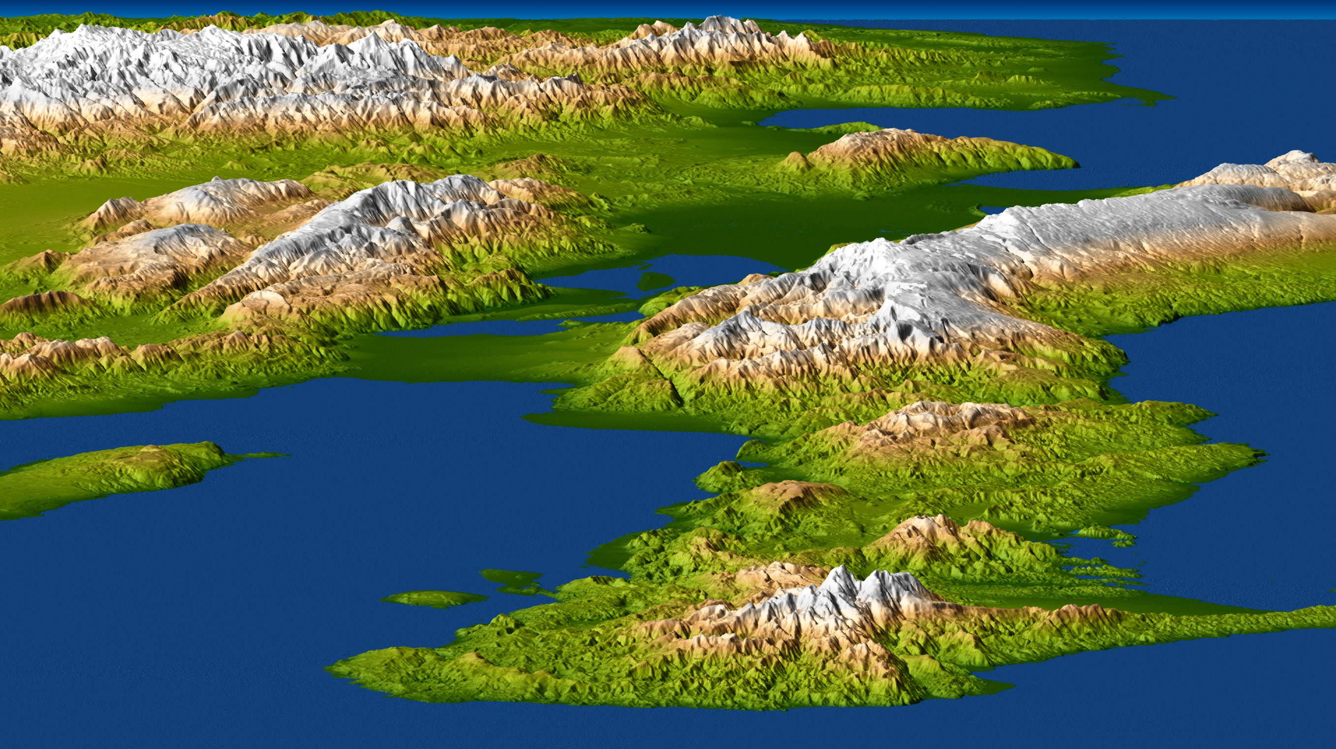
2000-02-15 | Earth |
Shuttle Radar Topography Mission (SRTM) |
C-Band Interferometric Radar |
2400x2938x3 |

|
|||||
|
|
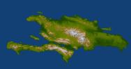
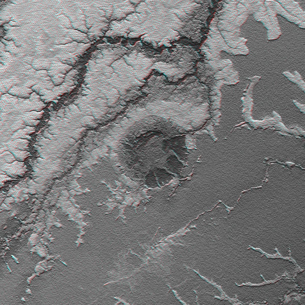
2002-09-13 | Earth |
Shuttle Radar Topography Mission (SRTM) |
C-Band Interferometric Radar |
3601x3601x3 |

|
|||||
|
|
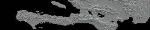
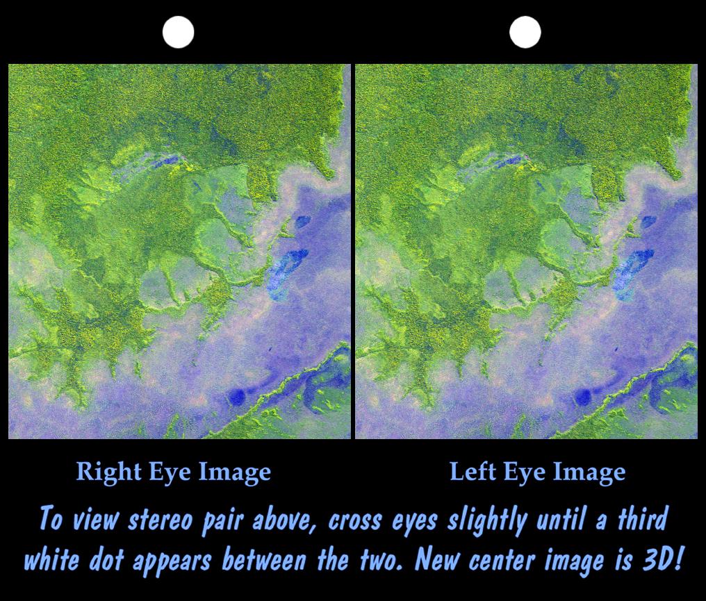
2002-09-26 | Earth |
Shuttle Radar Topography Mission (SRTM) |
C-Band Interferometric Radar |
1200x1200x3 |
|
|||||
|
|
2002-09-26 | Earth |
Shuttle Radar Topography Mission (SRTM) |
C-Band Interferometric Radar |
1016x865x3 |
|
|||||
|
|
2003-03-06 | Earth |
Shuttle Radar Topography Mission (SRTM) |
C-Band Interferometric Radar |
9600x7240x3 |

|
|||||
|
|
2003-03-06 | Earth |
Shuttle Radar Topography Mission (SRTM) |
C-Band Interferometric Radar |
9600x7240x3 |

|
|||||
|
|
2003-03-06 | Earth |
Shuttle Radar Topography Mission (SRTM) |
C-Band Interferometric Radar |
18001x11438x3 |

|
|||||
|
|
2003-03-06 | Earth |
Shuttle Radar Topography Mission (SRTM) |
C-Band Interferometric Radar |
1600x1080x3 |
|
|||||
|
|
2003-03-06 | Earth |
Shuttle Radar Topography Mission (SRTM) |
C-Band Interferometric Radar |
3010x3416x3 |

|
|||||
|
|
2003-03-27 | Earth |
Shuttle Radar Topography Mission (SRTM) |
C-Band Interferometric Radar |
3200x3400x3 |
|
|||||
|
|
2003-03-27 | Earth |
Shuttle Radar Topography Mission (SRTM) |
C-Band Interferometric Radar |
1573x2401x3 |
|
|||||
|
|
2003-07-03 | Earth |
Landsat Shuttle Radar Topography Mission (SRTM) |
C-Band Interferometric Radar |
1025x577x3 |

|
|||||
|
|
2003-07-03 | Earth |
Landsat Shuttle Radar Topography Mission (SRTM) |
C-Band Interferometric Radar |
2805x1705x3 |
|
|||||
|
|
2004-06-17 | Earth |
Landsat Shuttle Radar Topography Mission (SRTM) |
C-Band Interferometric Radar X-Band Radar |
5657x3645x3 |
|
|||||
|
|
2004-06-17 | Earth |
Landsat Shuttle Radar Topography Mission (SRTM) |
C-Band Interferometric Radar X-Band Radar |
2259x1244x3 |
|
|||||
|
|
2004-06-17 | Earth |
Shuttle Radar Topography Mission (SRTM) |
C-Band Interferometric Radar X-Band Radar |
9600x10500x3 |

|
|||||
|
|
2009-04-01 | Earth |
Shuttle Radar Topography Mission (SRTM) |
C-Band Radar |
1250x1440x1 |
|
|||||
|
|
2004-07-03 | Earth |
Landsat Shuttle Radar Topography Mission (SRTM) |
C-Band Radar X-Band Radar |
5000x1700x3 |
|
|||||
|
|
2004-07-03 | Earth |
Landsat Shuttle Radar Topography Mission (SRTM) |
C-Band Radar X-Band Radar |
5000x1700x3 |
|
|||||
|
|
2004-12-14 | Earth |
Shuttle Radar Topography Mission (SRTM) |
C-Band Radar X-Band Radar |
4500x5800x3 |

|
|||||
|
|
2009-10-01 | Earth |
Shuttle Radar Topography Mission (SRTM) |
C-Band Radar X-Band Radar |
2304x1533x3 |
|
|||||
|
|
2010-01-14 | Earth |
Shuttle Radar Topography Mission (SRTM) |
C-Band Radar X-Band Radar |
7900x4200x3 |
|
|||||
|
|
2010-01-14 | Earth |
Shuttle Radar Topography Mission (SRTM) |
C-Band Radar X-Band Radar |
6001x1201x3 |
|
|||||
|
|
2010-01-14 | Earth |
Shuttle Radar Topography Mission (SRTM) |
C-Band Radar X-Band Radar |
2715x1522x3 |

|
|||||
|
|
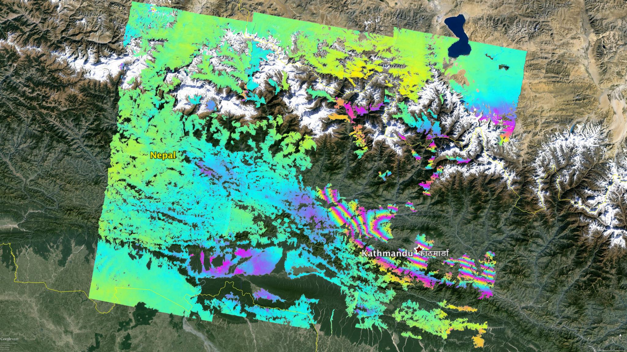
2015-05-02 | Earth |
ARIA |
C-SAR Sensor |
2048x1152x3 |

|
|||||
|
|
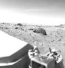
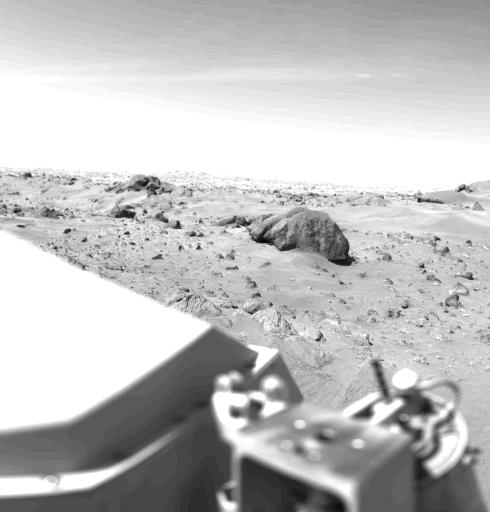
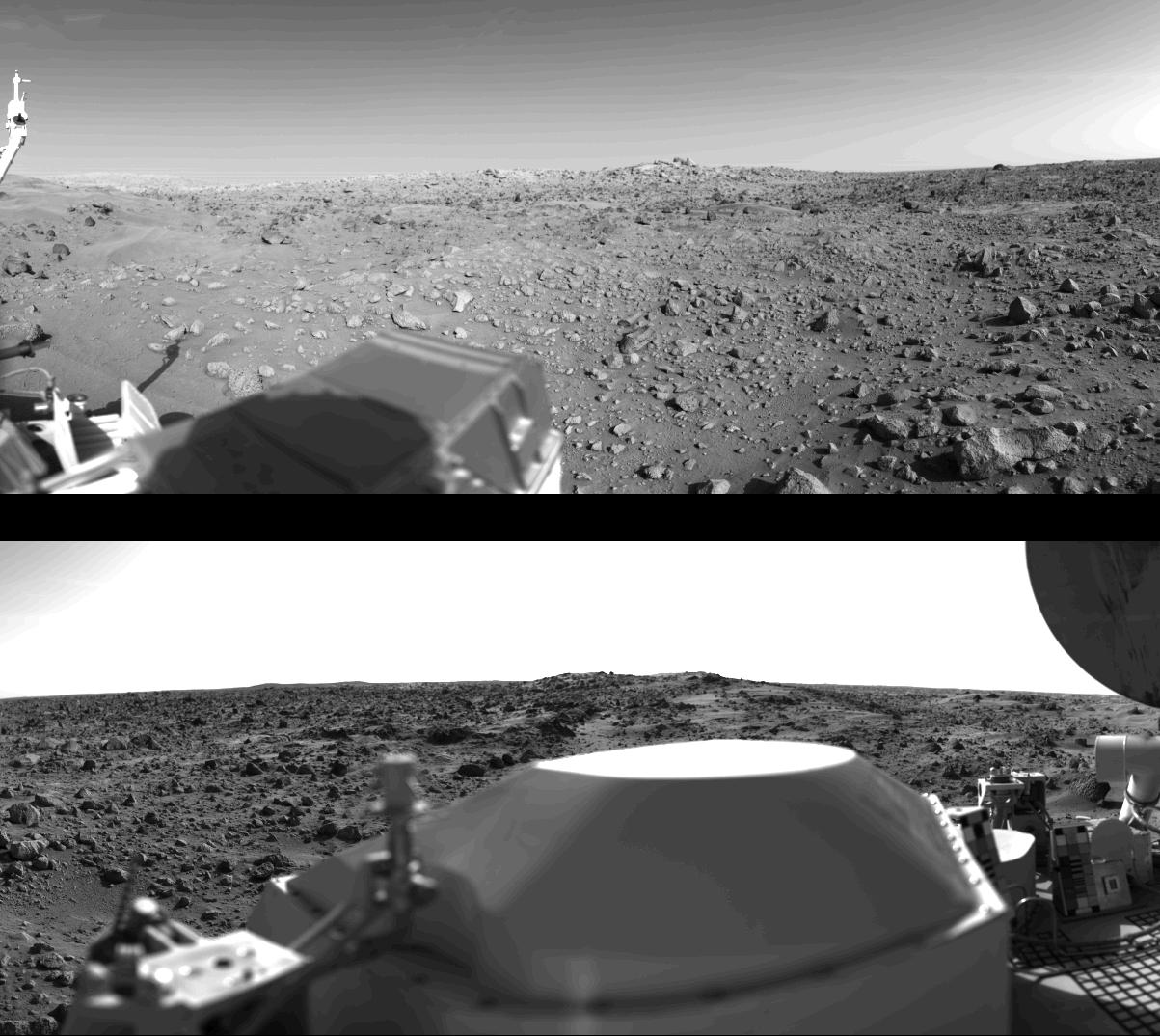
1996-12-12 | Mars |
Viking |
Camera 1 |
490x512x1 |
|
|||||
|
|
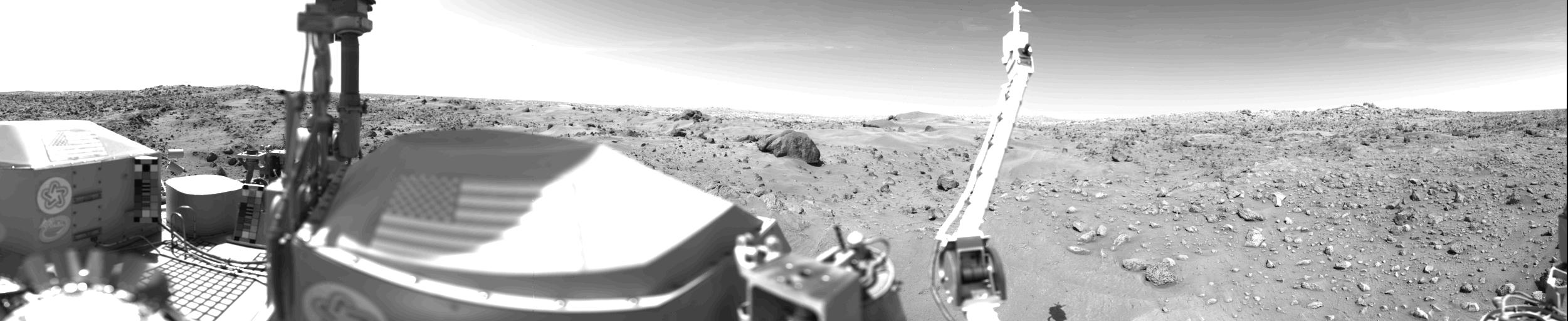
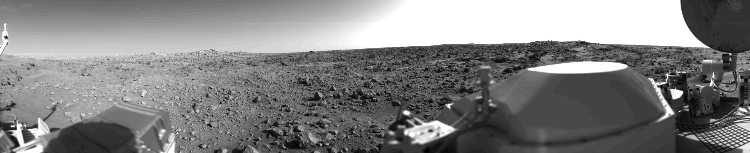
1996-12-30 | Mars |
Viking |
Camera 1 |
2501x512x1 |

|
|||||
|
|
1997-01-08 | Mars |
Viking |
Camera 2 |
1187x512x1 |
|
|||||
|
|
1996-12-30 | Mars |
Viking |
Camera 2 |
1203x1074x1 |

|
|||||
|
|
1996-12-30 | Mars |
Viking |
Camera 2 |
2497x512x1 |

|
|||||
|
|
1996-12-12 | Mars |
Viking |
Camera 2 |
515x512x1 |

|
|||||
|
|
1997-01-08 | Mars |
Viking |
Camera 2 |
439x512x1 |
|
|||||
|
|
2005-07-04 | Tempel 1 |
Deep Impact |
Chandra X-ray Telescope |
458x425x3 |
|
|||||
|
|
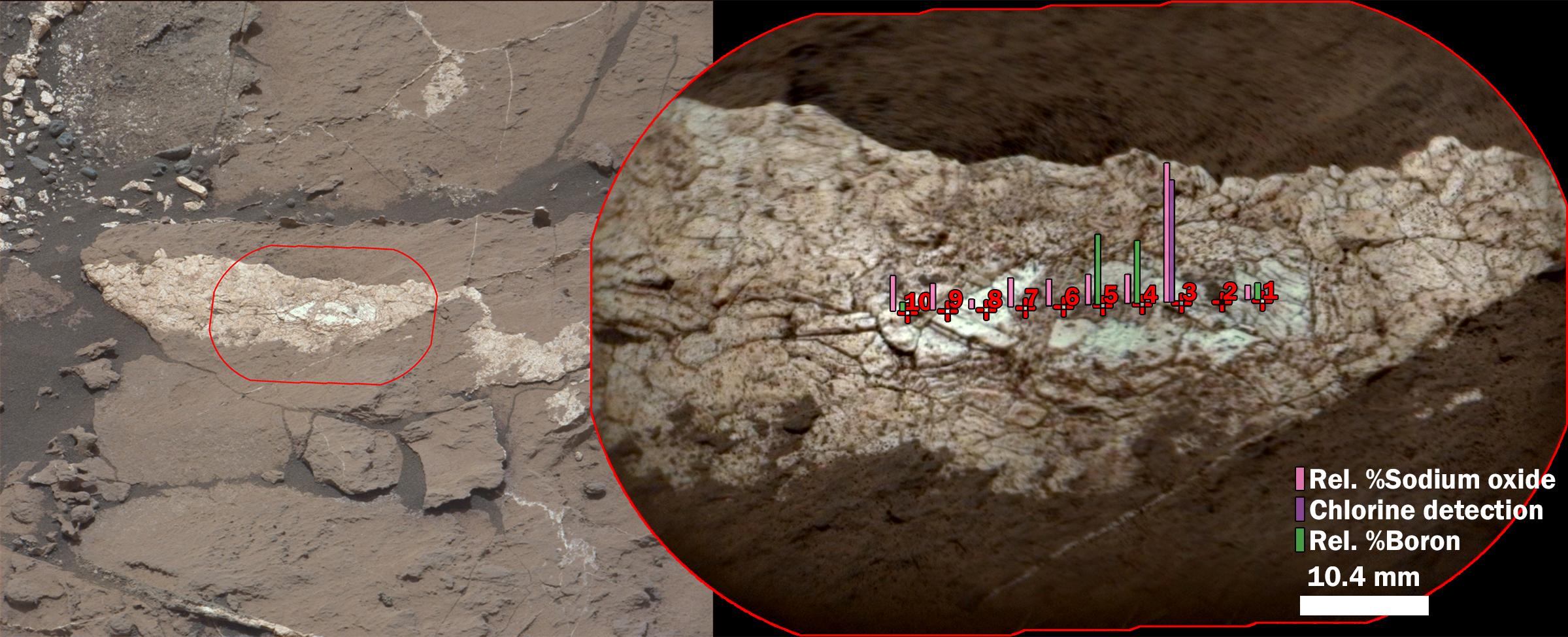
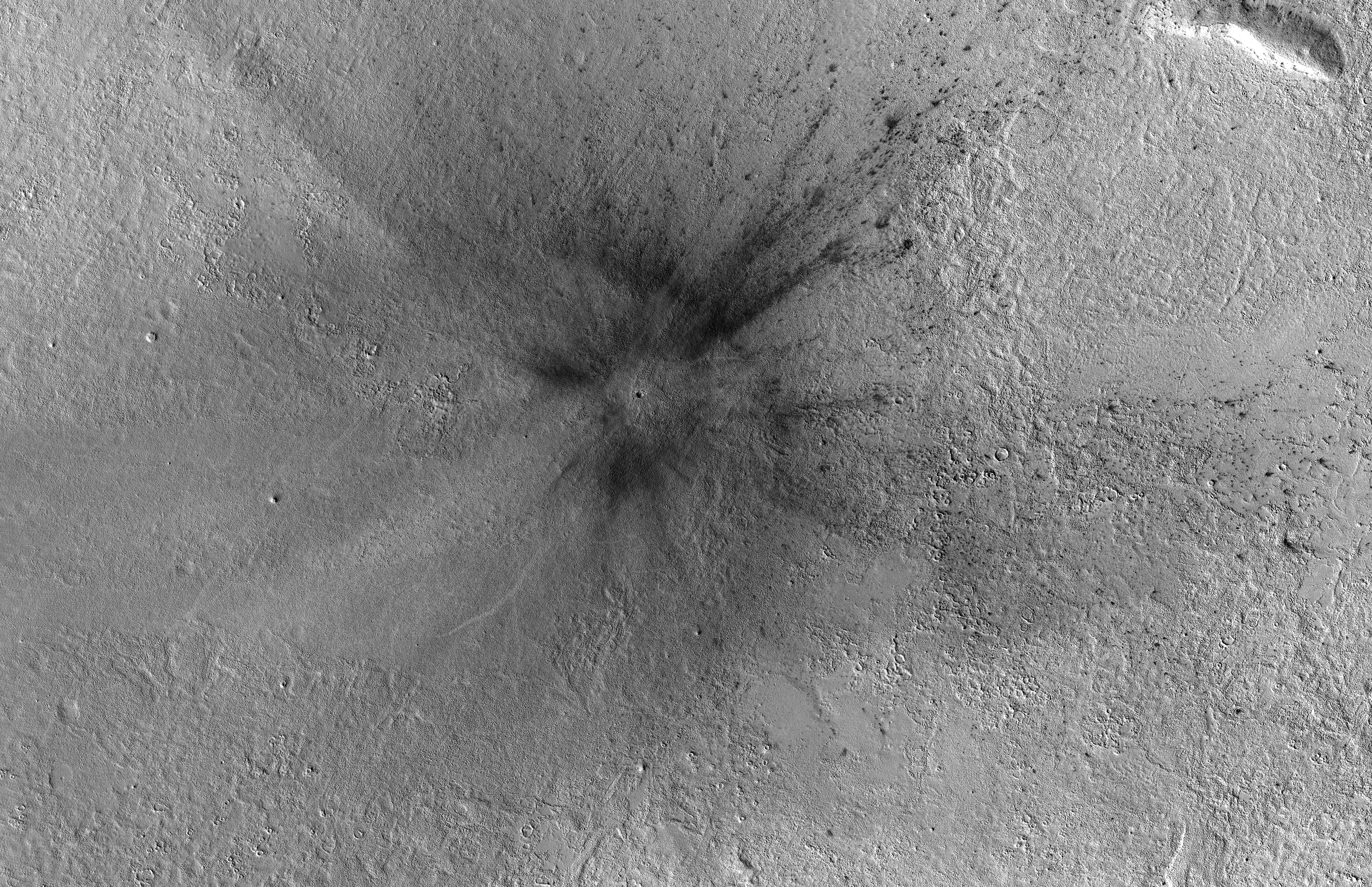
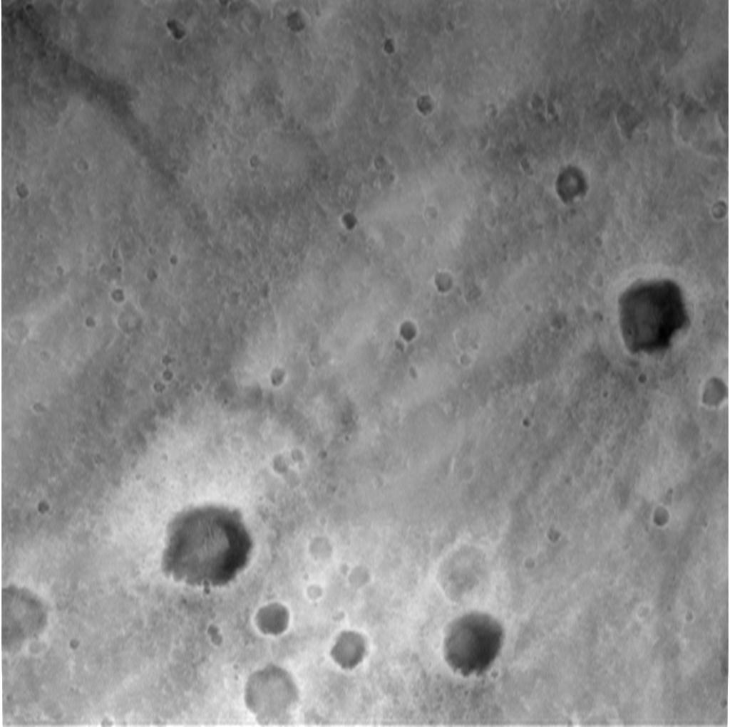
2016-12-13 | Mars |
Mars Science Laboratory (MSL) |
ChemCam Mastcam |
2399x974x3 |
|
|||||
|
|
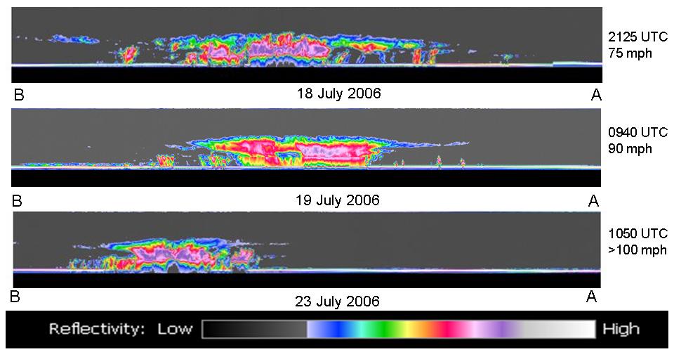
2006-07-25 | Earth |
CloudSat |
Cloud Profiling Radar (CPR) |
960x498x3 |

|
|||||
|
|
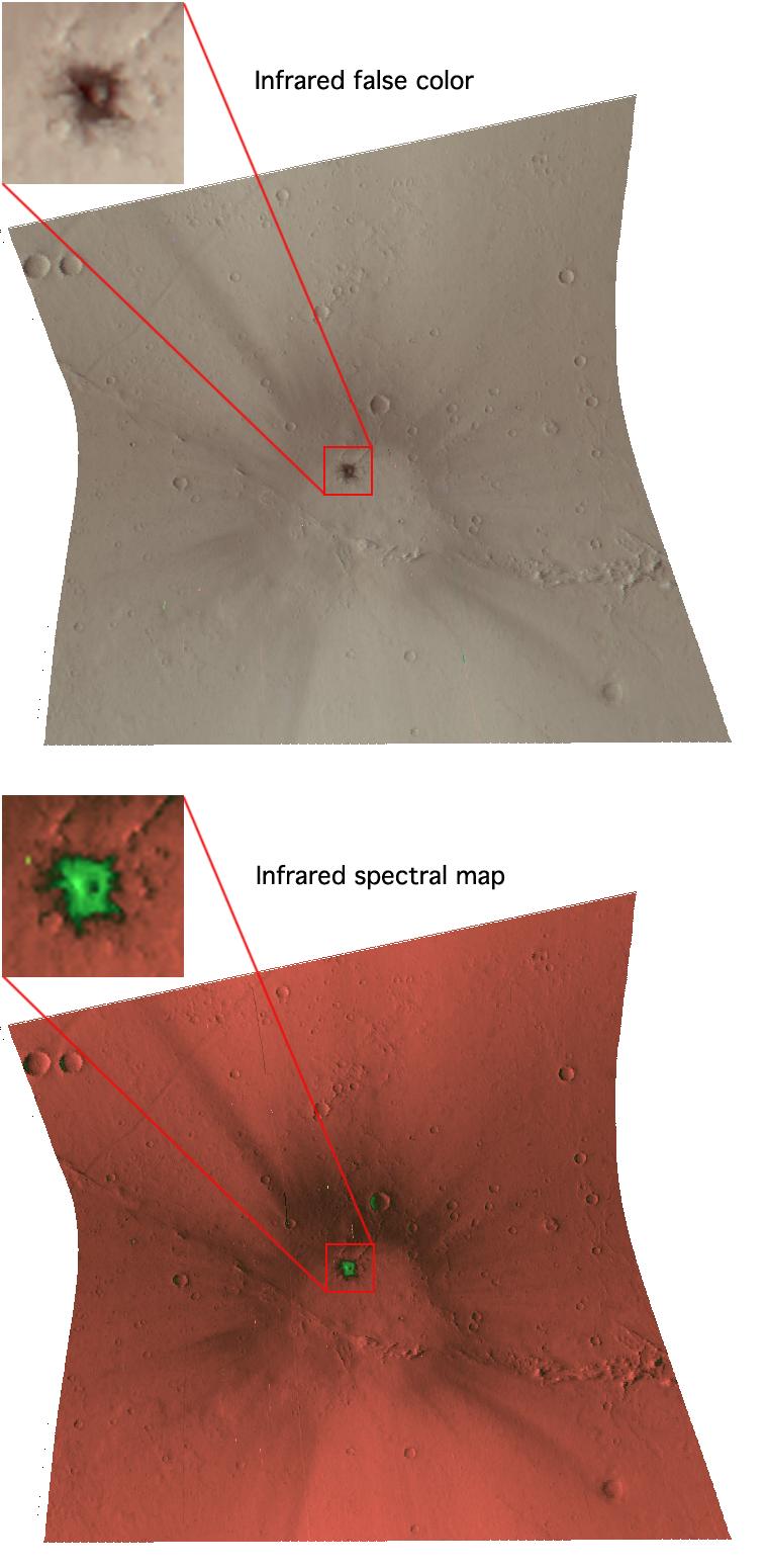
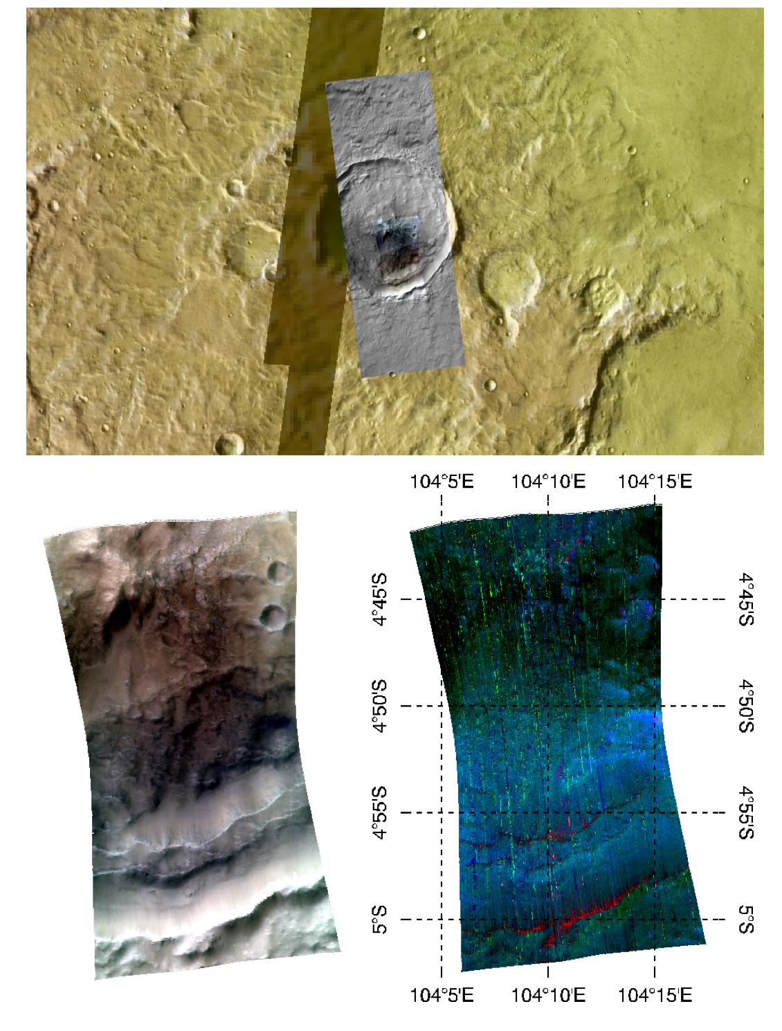
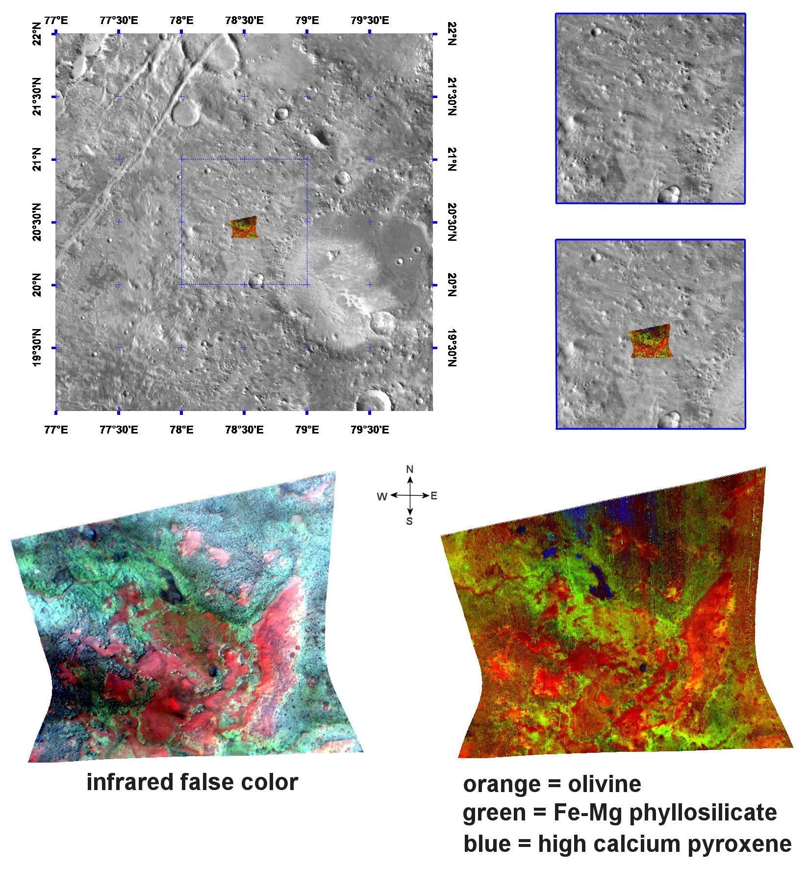
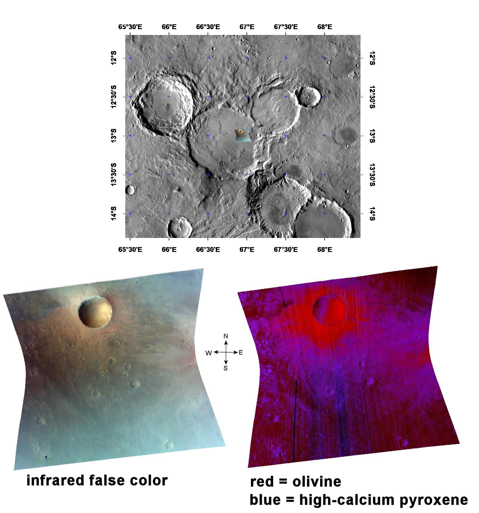
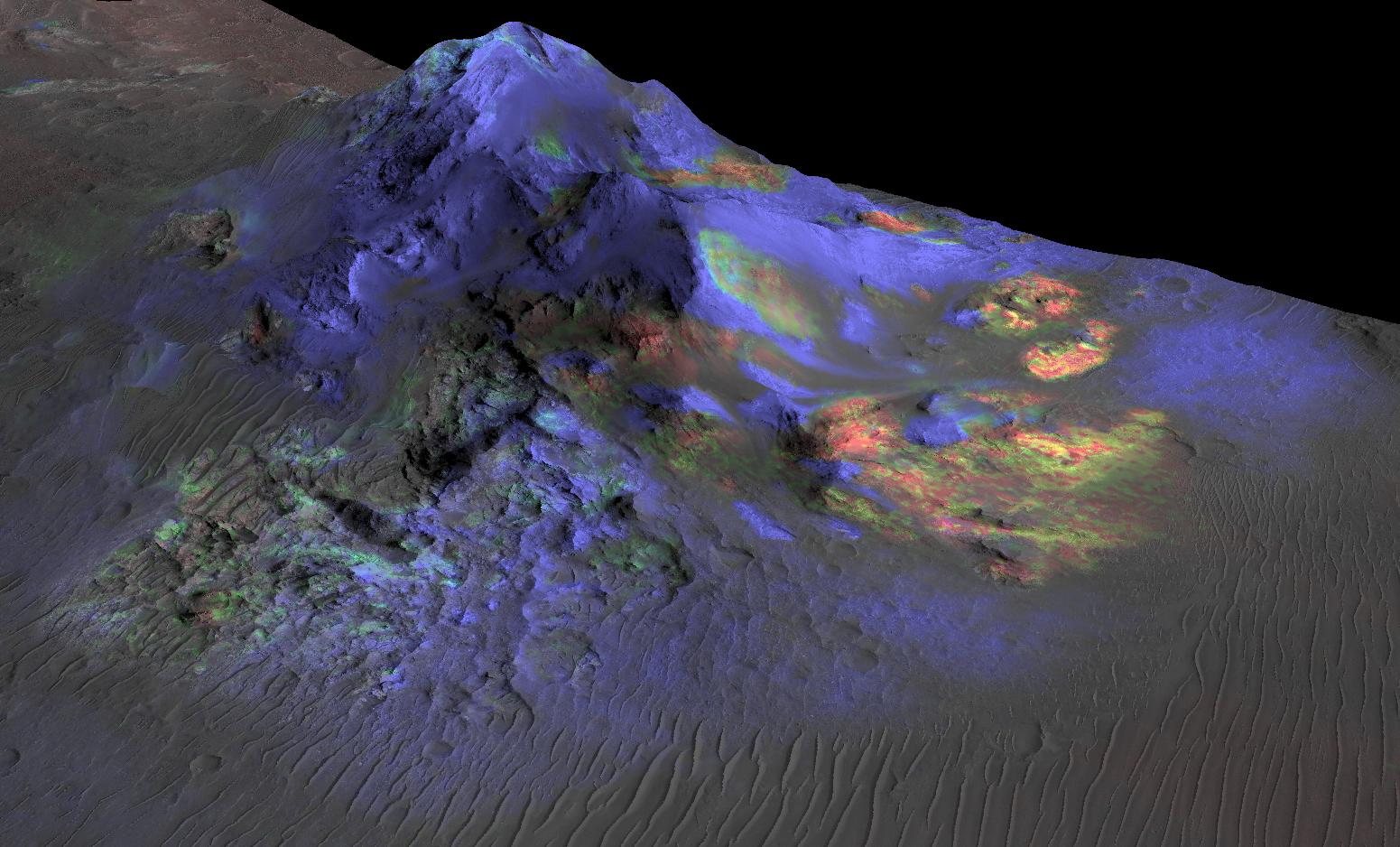
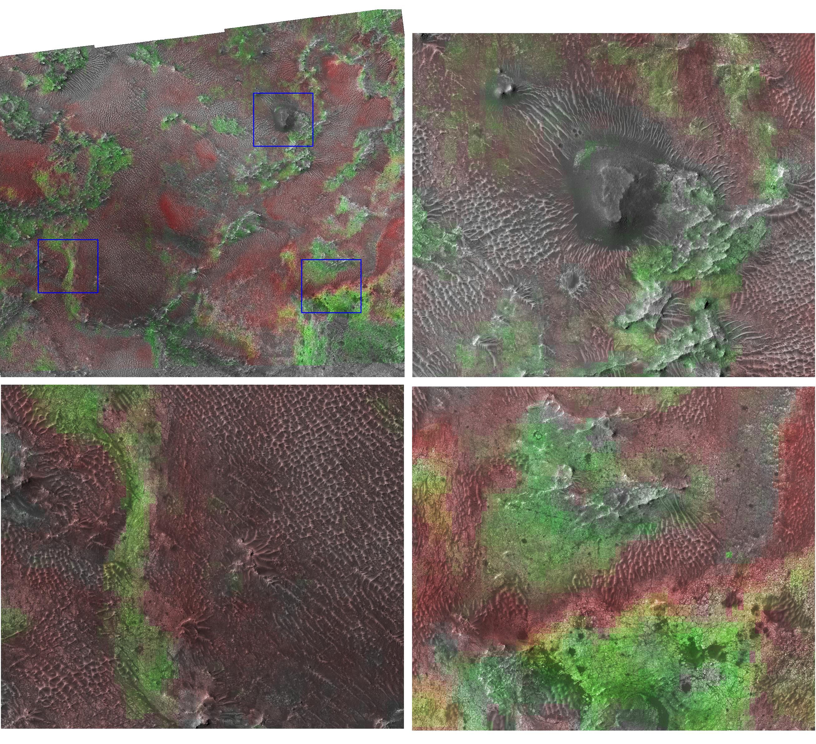
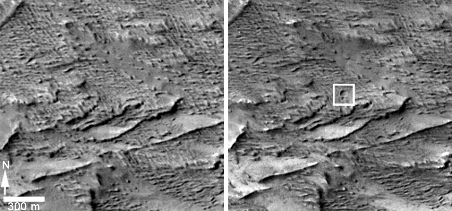
2007-02-13 | Mars |
Mars Reconnaissance Orbiter (MRO) |
CRISM |
758x1550x3 |
|
|
|||||
|
|
2007-02-23 | Mars |
Mars Reconnaissance Orbiter (MRO) |
CRISM |
1363x651x3 |

|
|||||
|
|
2007-05-18 | Mars |
Mars Reconnaissance Orbiter (MRO) |
CRISM |
1794x1839x3 |

|
|||||
|
|
2007-09-24 | Mars |
Mars Reconnaissance Orbiter (MRO) |
CRISM |
2358x1395x3 |
|
|||||
|
|
2008-02-14 | Mars |
Mars Reconnaissance Orbiter (MRO) |
CRISM |
797x1863x3 |
|
|
|||||
|
|
2008-03-28 | Mars |
Mars Reconnaissance Orbiter (MRO) |
CRISM |
1130x1490x3 |
|
|||||
|
|
2008-04-01 | Mars |
Mars Reconnaissance Orbiter (MRO) |
CRISM |
1646x1774x3 |
|
|||||
|
|
2008-05-20 | Mars |
Mars Reconnaissance Orbiter (MRO) |
CRISM |
1576x1688x3 |
|
|||||
|
|
2008-06-24 | Mars |
Mars Reconnaissance Orbiter (MRO) |
CRISM |
1312x1795x3 |
|
|||||
|
|
2008-06-30 | Mars |
Mars Reconnaissance Orbiter (MRO) |
CRISM |
1693x1875x3 |
|
|||||
|
|
2010-12-16 | Mars |
Mars Reconnaissance Orbiter (MRO) |
CRISM |
2736x2250x3 |
|
|||||
|
|
2011-11-02 | Mars |
Mars Reconnaissance Orbiter (MRO) |
CRISM |
2000x2000x3 |
|
|||||
|
|
2015-06-08 | Mars |
Mars Reconnaissance Orbiter (MRO) |
CRISM |
1551x938x3 |
|
|||||
|
|
2006-12-13 | Mars |
Mars Reconnaissance Orbiter (MRO) |
CRISM High Resolution Imaging Science Experiment (HiRISE) |
2614x2383x3 |
|
|||||
|
|
2011-03-08 | Mars |
Mars Reconnaissance Orbiter (MRO) |
CRISM HiRISE |
995x599x3 |

|
|||||
|
|
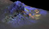
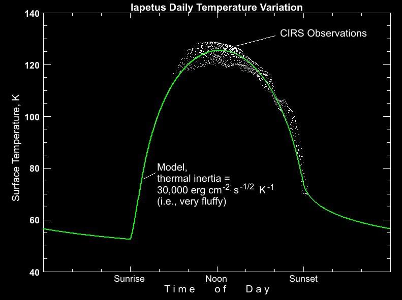
2005-01-10 | Iapetus |
Cassini-Huygens |
Composite Infrared Spectrometer |
791x591x3 |
|
|||||
|
|
2009-09-24 | Mars |
Mars Reconnaissance Orbiter (MRO) |
CTX |
1338x1094x1 |
|
|||||
|
|
2010-06-29 | Mars |
Mars Exploration Rover (MER) |
CTX |
4056x4096x1 |

|
|||||
|
|
2011-02-14 | Mars |
Mars Reconnaissance Orbiter (MRO) |
CTX |
377x487x3 |
|
|||||
|
|
2011-02-14 | Mars |
Mars Reconnaissance Orbiter (MRO) |
CTX |
420x487x3 |

|
|||||
|
|
2012-08-08 | Mars |
Mars Reconnaissance Orbiter (MRO) Mars Science Laboratory (MSL) |
CTX |
1709x1193x1 |
|
|||||
|
|
2012-08-08 | Mars |
Mars Reconnaissance Orbiter (MRO) Mars Science Laboratory (MSL) |
CTX |
758x511x1 |
|
|||||
|
|
2012-08-08 | Mars |
Mars Reconnaissance Orbiter (MRO) Mars Science Laboratory (MSL) |
CTX |
758x511x1 |

|
|||||
|
|
2014-05-22 | Mars |
Mars Reconnaissance Orbiter (MRO) |
CTX |
1980x2176x1 |
|
|||||
|
|
2014-05-22 | Mars |
Mars Reconnaissance Orbiter (MRO) |
CTX |
1500x699x1 |

|
|||||
|
|
2016-10-21 | Mars |
Mars Reconnaissance Orbiter (MRO) |
CTX |
1400x788x1 |
|
|||||
|
|
2022-01-26 | Mars |
Mars Reconnaissance Orbiter (MRO) |
CTX |
2100x1306x1 |
|
|||||
|
|
2022-10-27 | Mars |
Mars Reconnaissance Orbiter (MRO) |
CTX |
5448x3523x1 |

|
|||||
|
|
2022-10-27 | Mars |
Mars Reconnaissance Orbiter (MRO) |
CTX |
3351x3083x1 |
|
|||||
|
|
2006-10-16 | Mars |
Mars Global Surveyor (MGS) Mars Reconnaissance Orbiter (MRO) |
CTX Mars Color Imager (MARCI) |
2219x2219x3 |
|
|||||
|
|
2006-04-13 | Mars |
Mars Global Surveyor (MGS) Mars Reconnaissance Orbiter (MRO) |
CTX Mars Orbiter Camera |
5056x5222x1 |

|
|||||
|
|
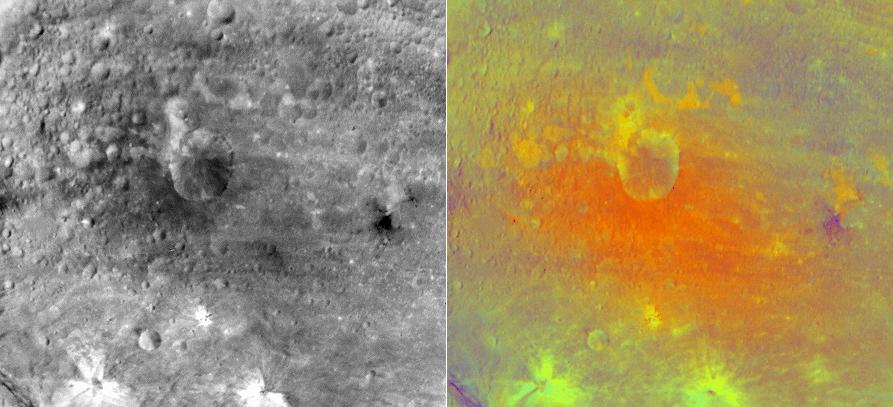
2012-12-05 | Mars |
Mars Reconnaissance Orbiter (MRO) Mars Science Laboratory (MSL) |
CTX HiRISE |
4985x2619x3 |
|
|||||
|
|
2013-05-15 | Mars |
Mars Reconnaissance Orbiter (MRO) |
CTX HiRISE |
1253x1822x3 |
|
|||||
|
|
2010-06-24 | Mars |
Mars Express (MEX) Mars Reconnaissance Orbiter (MRO) |
Context Camera High Resolution Stereo Camera |
617x543x3 |
|
|||||
|
|
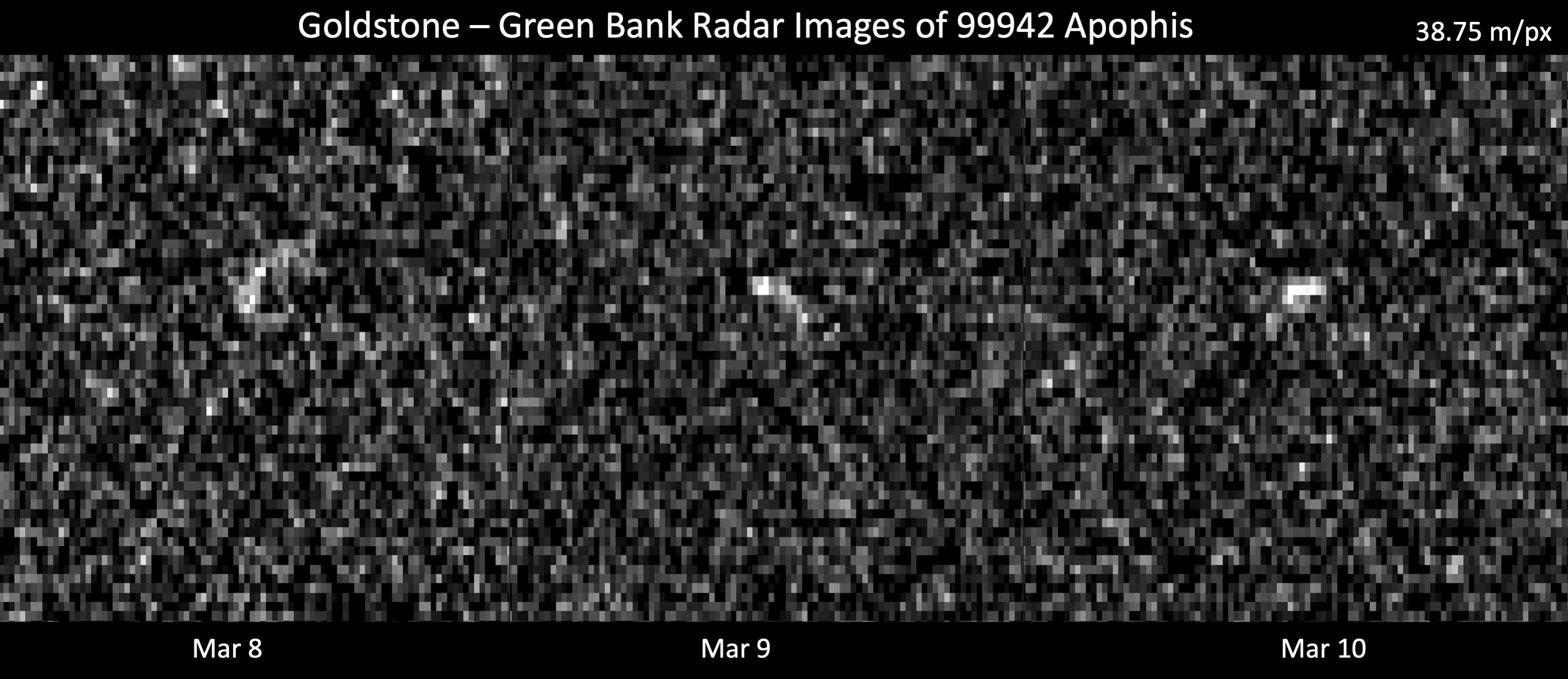
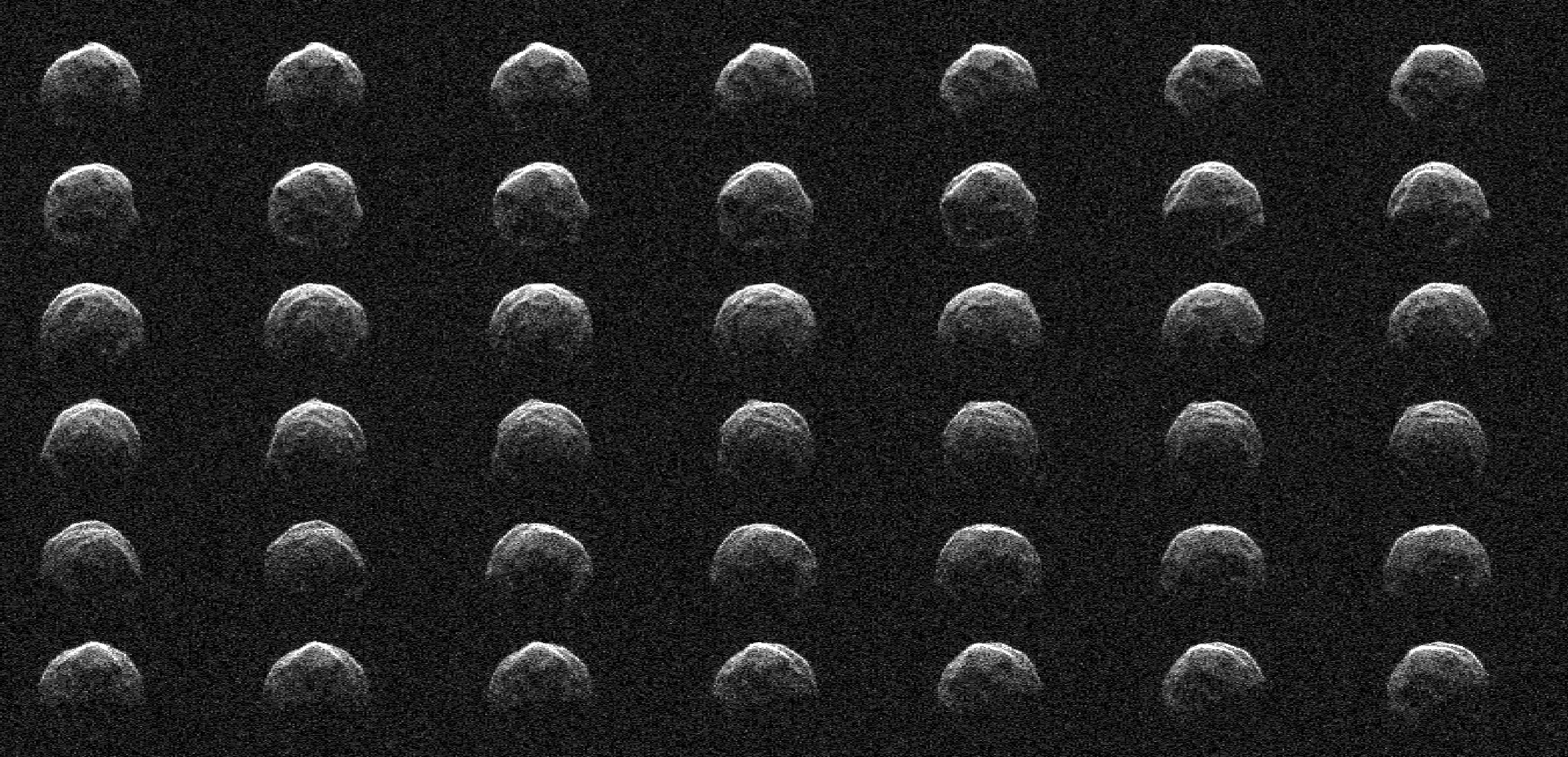
2021-03-26 | Asteroid |
Deep Space Network |
2999x1300x1 | |
|
|||||
|
|
2021-04-05 | Asteroid |
Deep Space Network |
1254x958x1 | |
|
|||||
|
|
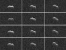
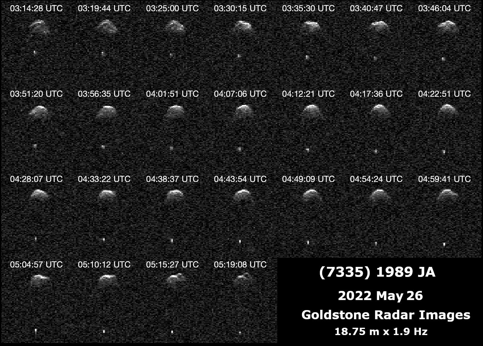
2022-06-29 | Asteroid |
Deep Space Network (DSN) |
Deep Space Network |
1587x1137x1 |
|
|||||
|
|
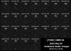
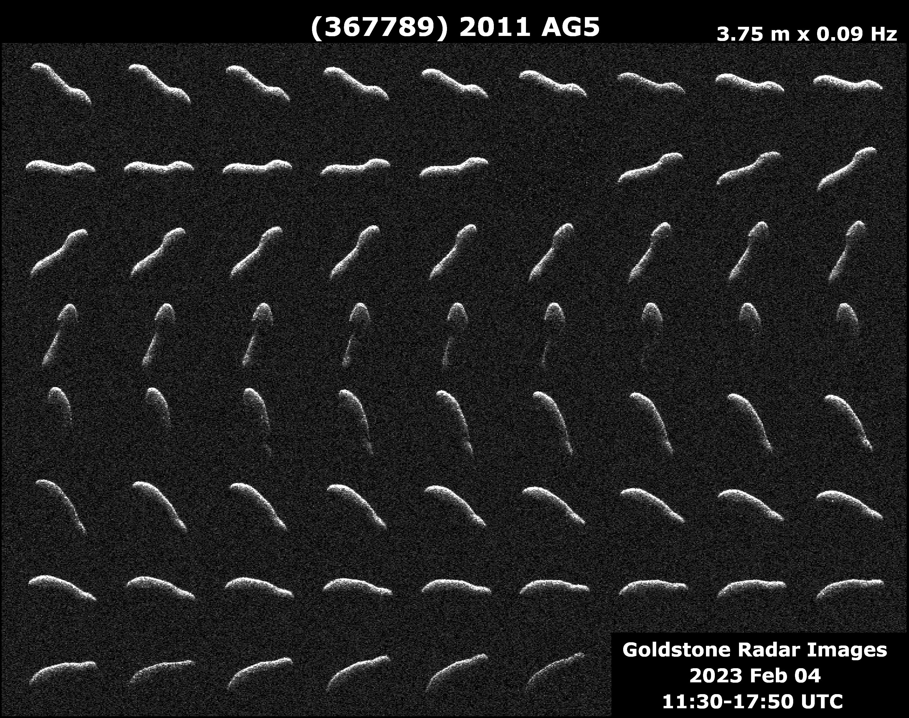
2023-02-17 | Asteroid |
Deep Space Network (DSN) |
Deep Space Network |
3085x2437x1 |
|
|||||
|
|
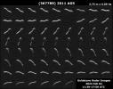
2023-04-26 | Asteroid |
Deep Space Network (DSN) |
Deep Space Network |
2922x1411x1 |
|
|||||
|
|
2004-01-04 | Mars |
Mars Exploration Rover (MER) |
Descent Image Motion Estimation System (DIMES) |
1024x1021x1 |
|
|||||
|
|
2004-01-04 | Mars |
Mars Exploration Rover (MER) |
Descent Image Motion Estimation System (DIMES) |
1024x1021x1 |
|
|||||
|
|
2004-01-04 | Mars |
Mars Exploration Rover (MER) |
Descent Image Motion Estimation System (DIMES) |
1024x1021x1 |
|
|||||
|
|
2004-01-23 | Mars |
Mars Global Surveyor (MGS) Mars Exploration Rover (MER) |
Descent Image Motion Estimation System (DIMES) Mars Orbiter Camera (MOC) Panoramic Camera |
640x480x1 |
|
|||||
|
|
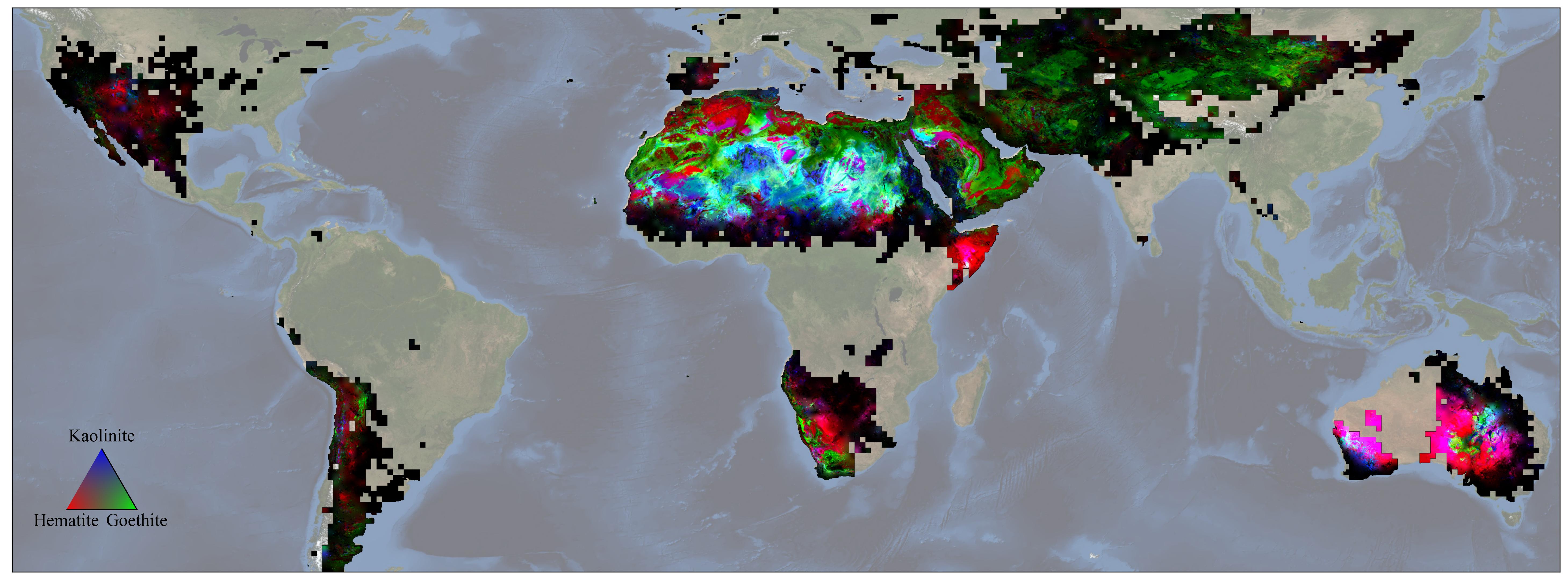
2023-12-11 | Earth |
Earth Surface Mineral Dust Source Investigation (EMIT) |
EMIT |
5836x2174x3 |
|
|||||
|
|
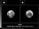
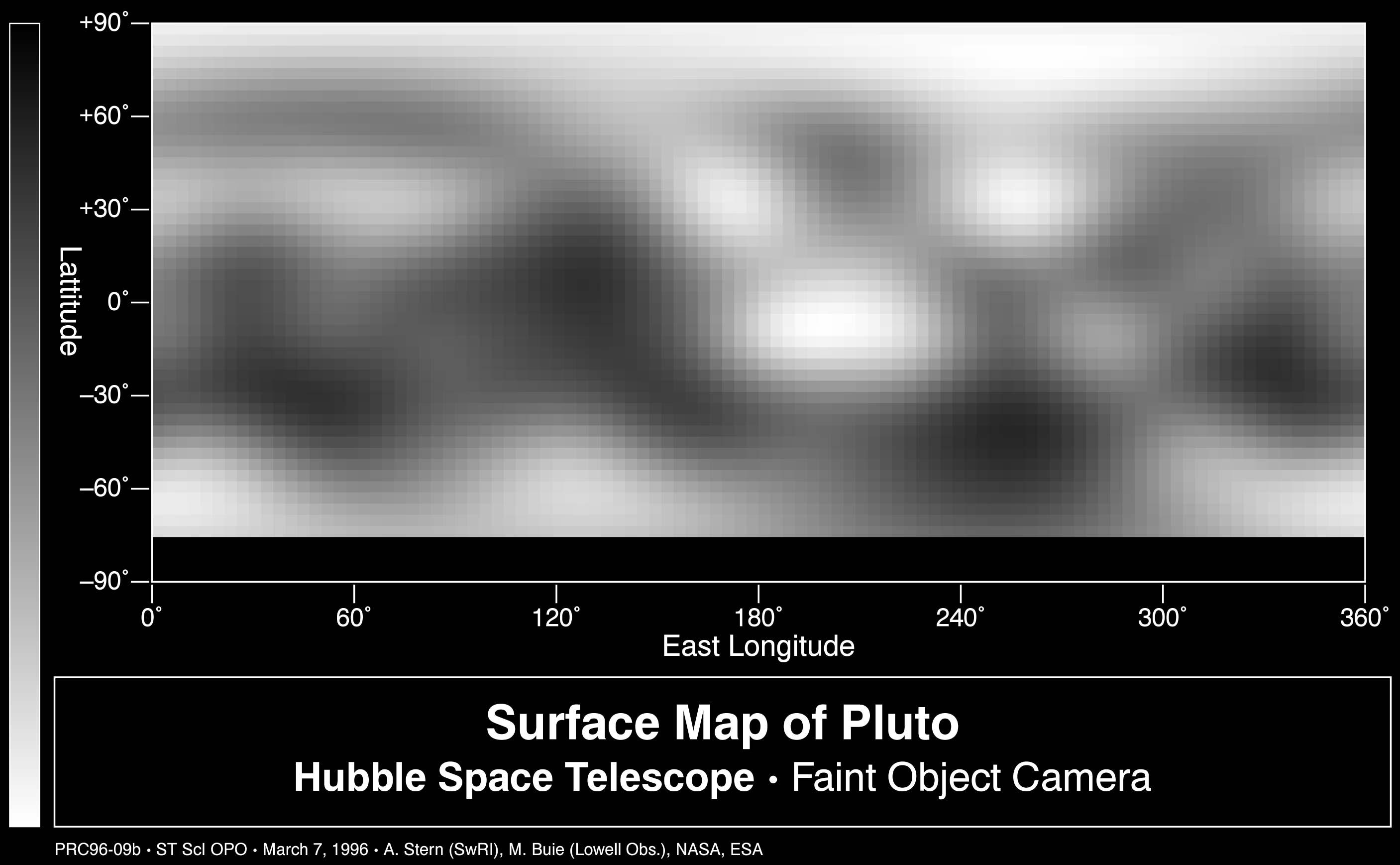
1998-03-28 | Pluto |
Hubble Space Telescope |
Faint Object Camera |
2573x1945x1 |
|
|||||
|
|
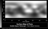
1998-03-28 | Pluto |
Hubble Space Telescope |
Faint Object Camera |
2813x1737x1 |
|
|||||
|
|
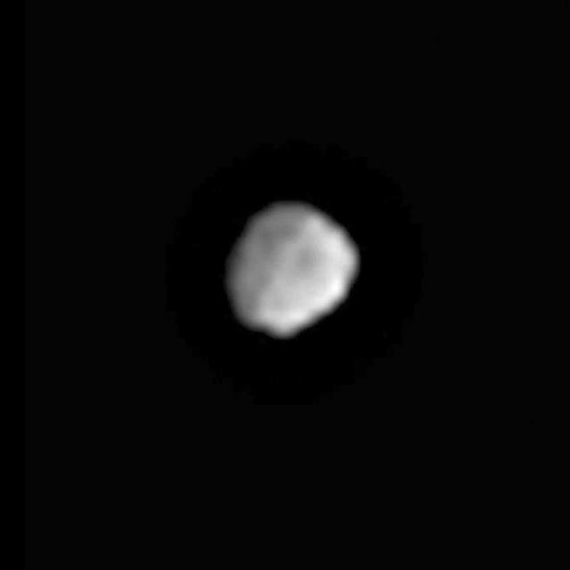
2011-06-13 | Vesta |
Dawn |
Framing Camera |
640x640x1 |

|
|||||
|
|
2011-06-23 | Vesta |
Dawn |
Framing Camera |
1280x720x3 |
|
|||||
|
|
2011-07-18 | Vesta |
Dawn |
Framing Camera |
550x537x3 |
|
|||||
|
|
2011-07-18 | Vesta |
Dawn |
Framing Camera |
672x666x1 |
|
|||||
|
|
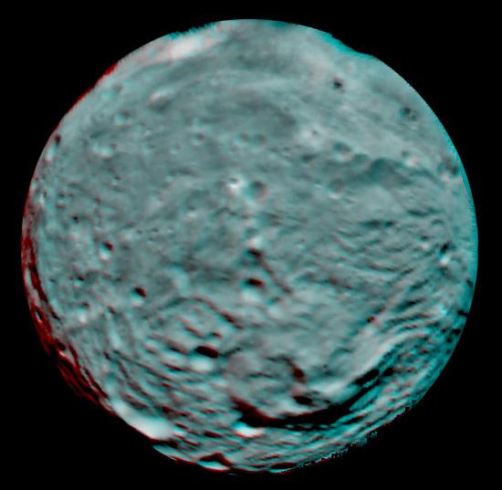
2011-08-24 | Vesta |
Dawn |
Framing Camera |
893x407x3 |
|
|||||
|
|
2011-09-09 | Vesta |
Dawn |
Framing Camera |
938x711x1 |
|
|||||
|
|
2011-09-16 | Vesta |
Dawn |
Framing Camera |
429x429x1 |
|
|||||
|
|
2011-09-16 | Vesta |
Dawn |
Framing Camera |
2810x2968x3 |
|
|||||
|
|
2011-09-16 | Vesta |
Dawn |
Framing Camera |
2372x2360x3 |
|
|||||
|
|
2011-09-16 | Vesta |
Dawn |
Framing Camera |
799x862x3 |
|
|||||
|
|
2011-09-16 | Vesta |
Dawn |
Framing Camera |
1134x1134x3 |
|
|||||
|
|
2011-09-17 | Vesta |
Dawn |
Framing Camera |
1024x1024x1 |
|
|||||
|
|
2011-09-18 | Vesta |
Dawn |
Framing Camera |
1024x1024x1 |

|
|||||
|
|
2011-09-19 | Vesta |
Dawn |
Framing Camera |
1024x1024x1 |

|
|||||
|
|
2011-09-23 | Vesta |
Dawn |
Framing Camera |
1024x1024x1 |
|
|||||
|
|
2011-09-29 | Vesta |
Dawn |
Framing Camera |
1024x1024x1 |
|
|||||
|
|
2011-09-30 | Vesta |
Dawn |
Framing Camera |
1024x1024x1 |

|
|||||
|
|
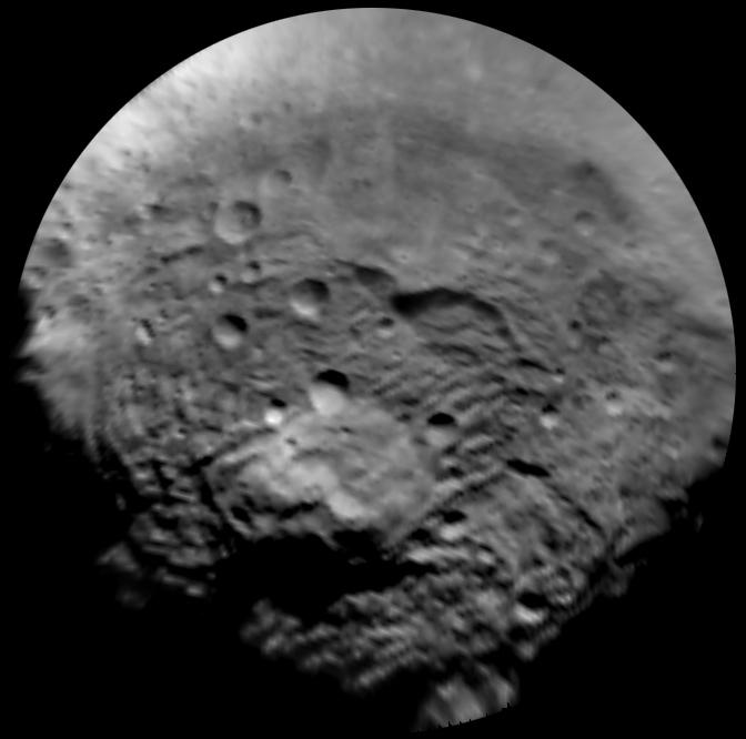
2011-10-02 | Vesta |
Dawn |
Framing Camera |
2600x1500x1 |

|
|||||

|
 |
|
 |
 |
|
|
|
|
|
|

|
| 1-100 | 101-200 | 201-300 | 301-400 | 401-500 | 501-600 | 601-700 | 701-800 | 801-900 | 901-1000 |
| Currently displaying images: 201 - 300 of 3151 |