|
Your search criteria found 3151 images Feature Name |
| My List |
Addition Date | Target | Mission |
Instrument
|
Size |

|
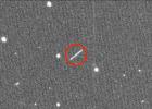
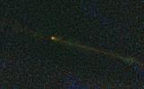
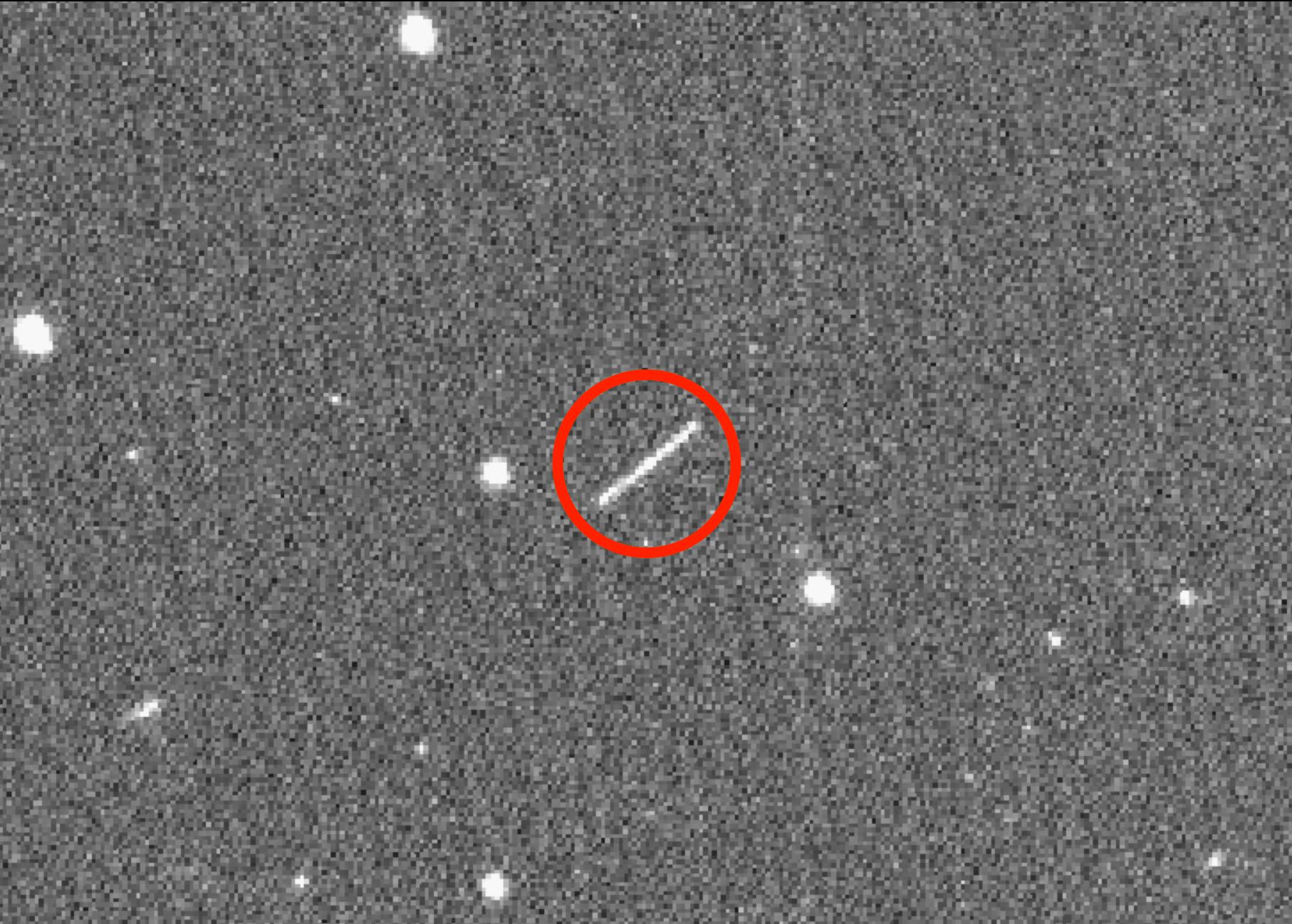
2020-08-18 | Asteroid |
ZTF |
1814x1298x3 | |
|
|||||
|
|
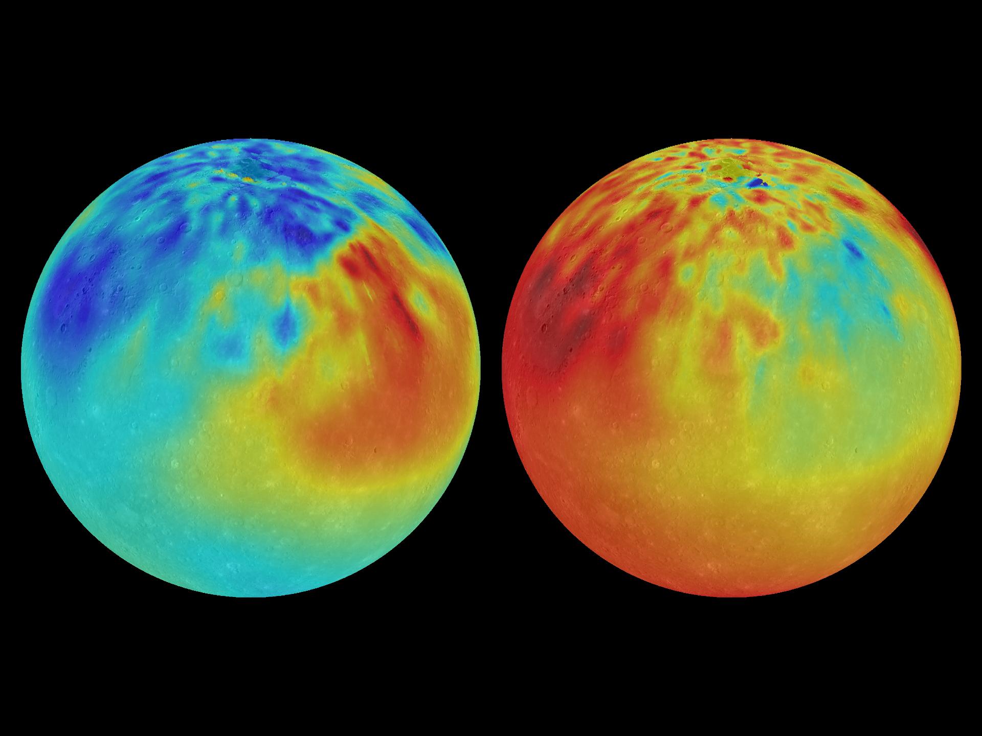
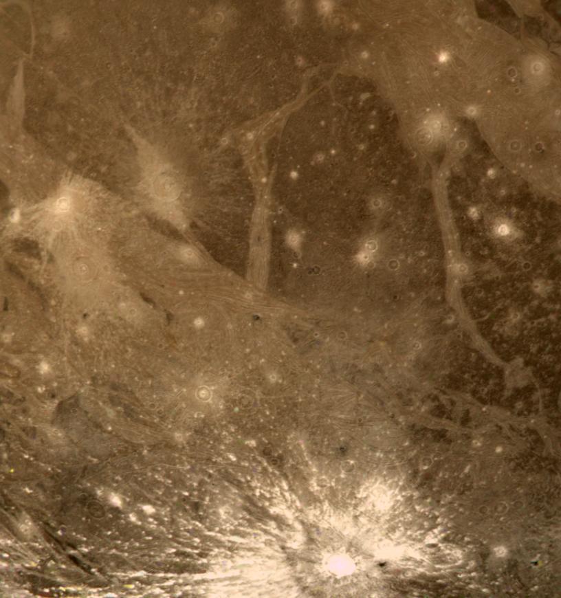
2015-04-16 | Mercury |
MESSENGER |
X-Ray Spectrometer (XRS) Mercury Dual Imaging System (MDIS) |
1920x1440x3 |

|
|||||
|
|
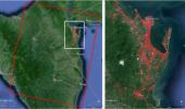
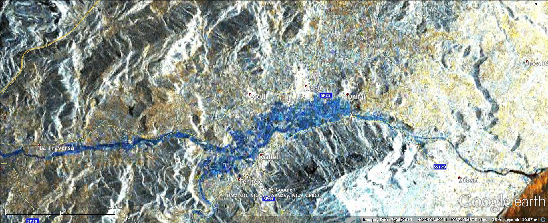
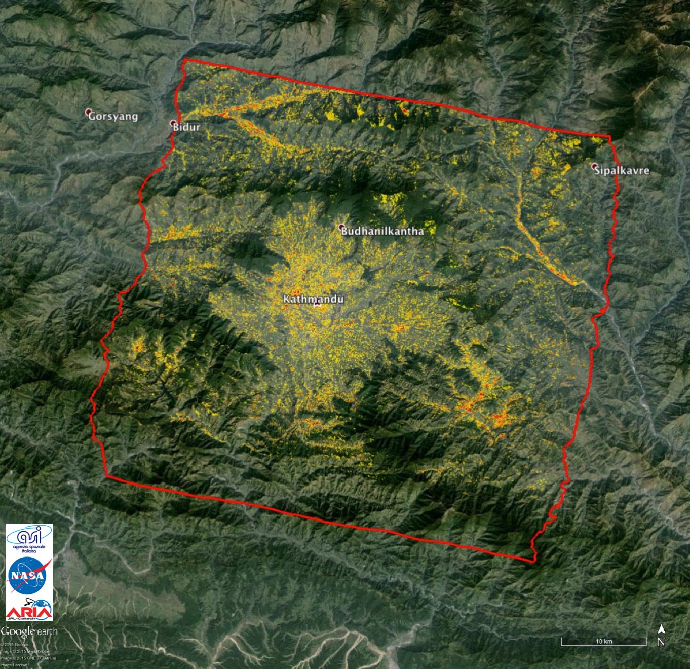
2013-11-13 | Earth |
ARIA |
X-band interferometric synthetic aperture radar |
1623x956x3 |
|
|||||
|
|
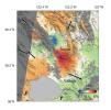
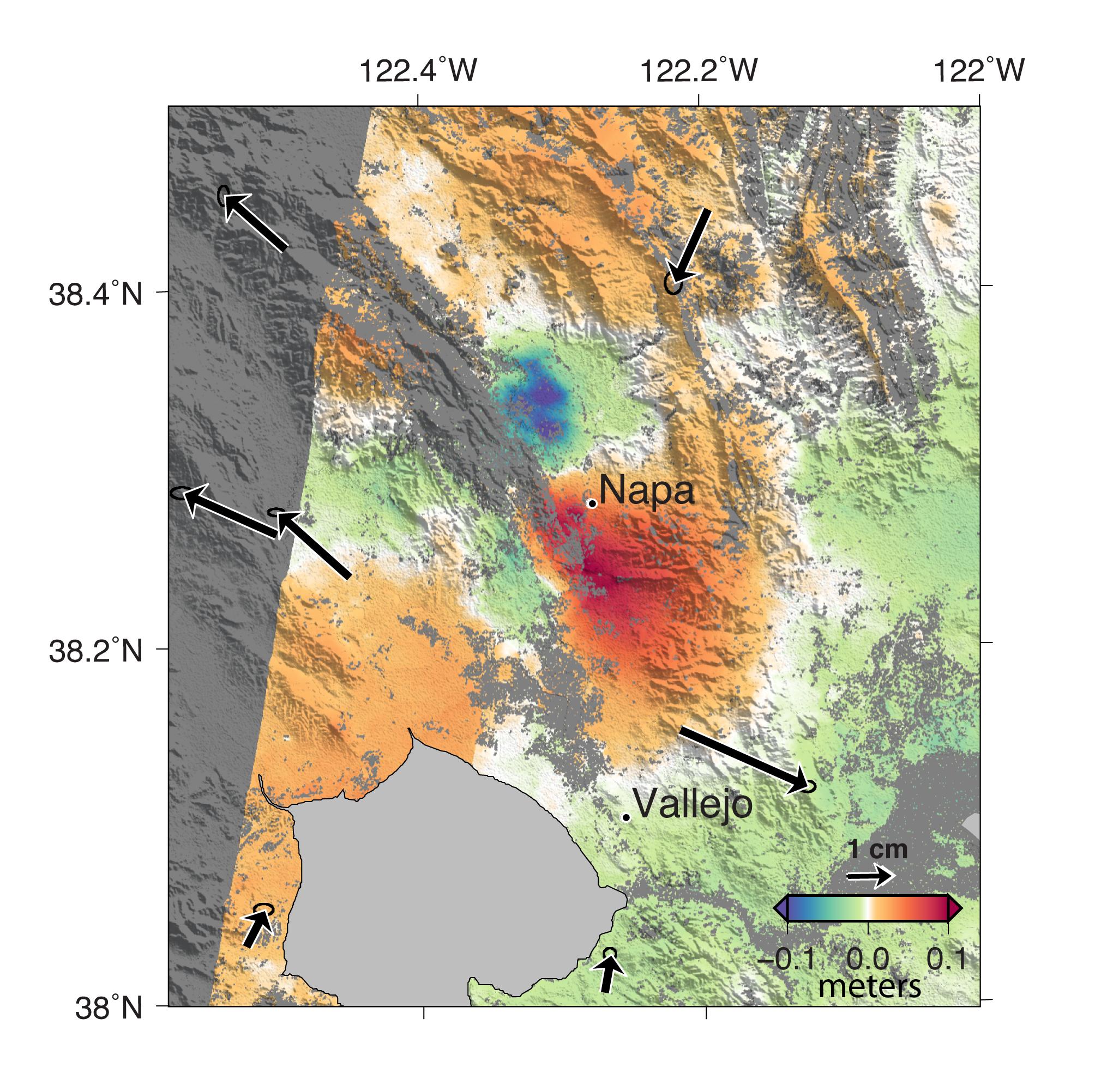
2013-11-26 | Earth |
ARIA |
X-band Interferometric Synthetic Aperture Radar |
1916x780x3 |

|
|||||
|
|
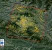
2014-09-04 | Earth |
ARIA |
X-band Interferometric Synthetic Aperture Radar |
2019x2004x3 |
|
|||||
|
|
2015-05-01 | Earth |
ARIA |
X-band Interferometric Synthetic Aperture Radar |
1362x1320x3 |
|
|||||
|
|
2010-10-05 | Comet |
Wide-field Infrared Survey Explorer (WISE) |
WISE Telescope |
2148x1331x3 |
|
|||||
|
|
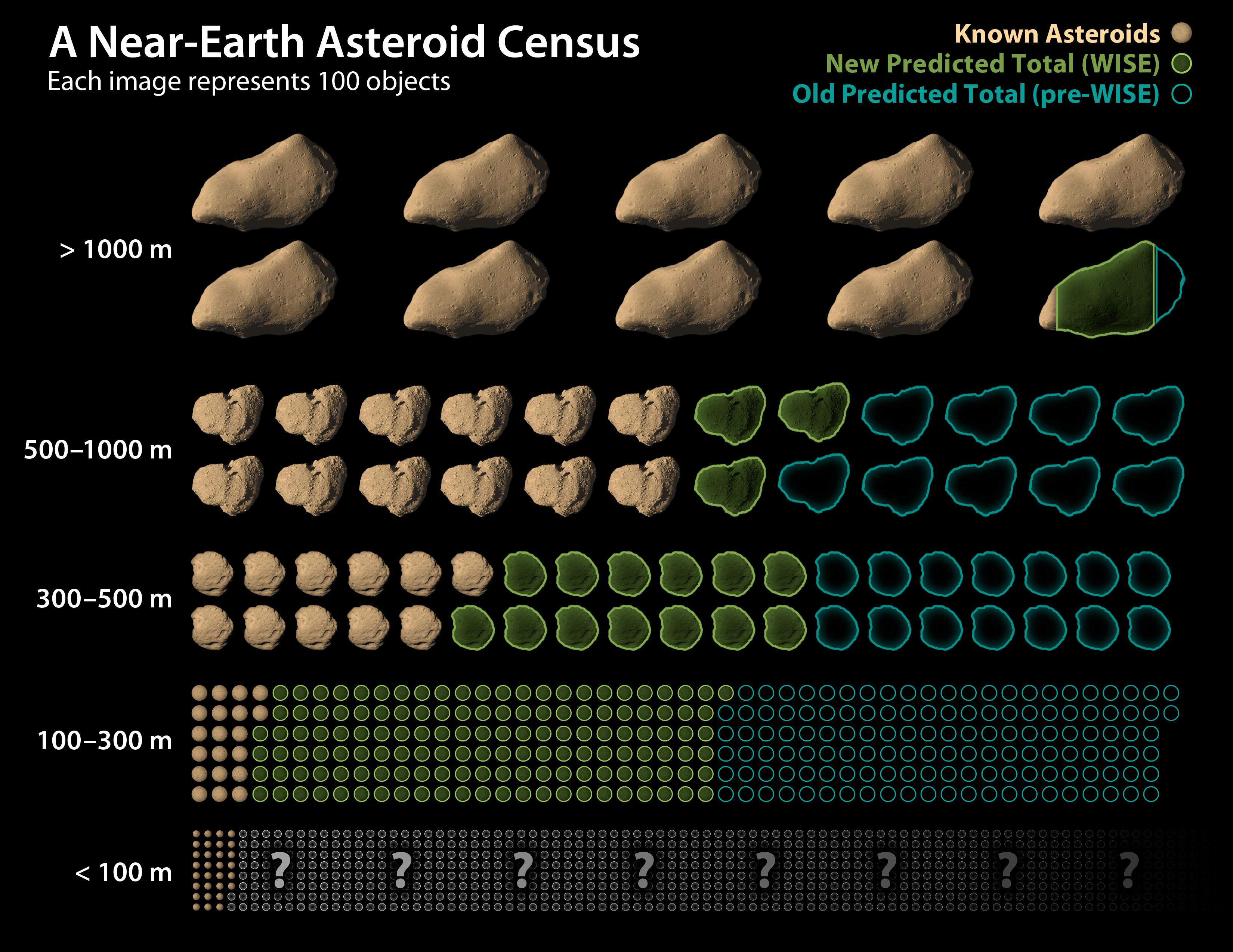
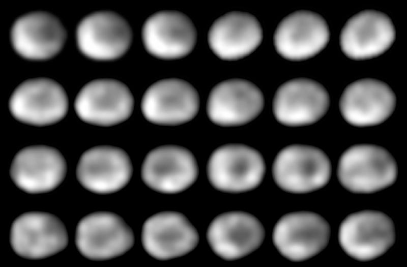
2011-09-29 | Vesta |
Wide-field Infrared Survey Explorer (WISE) |
WISE Telescope |
3300x2550x3 |
|
|||||
|
|
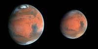
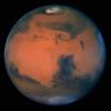
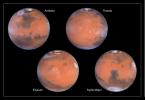
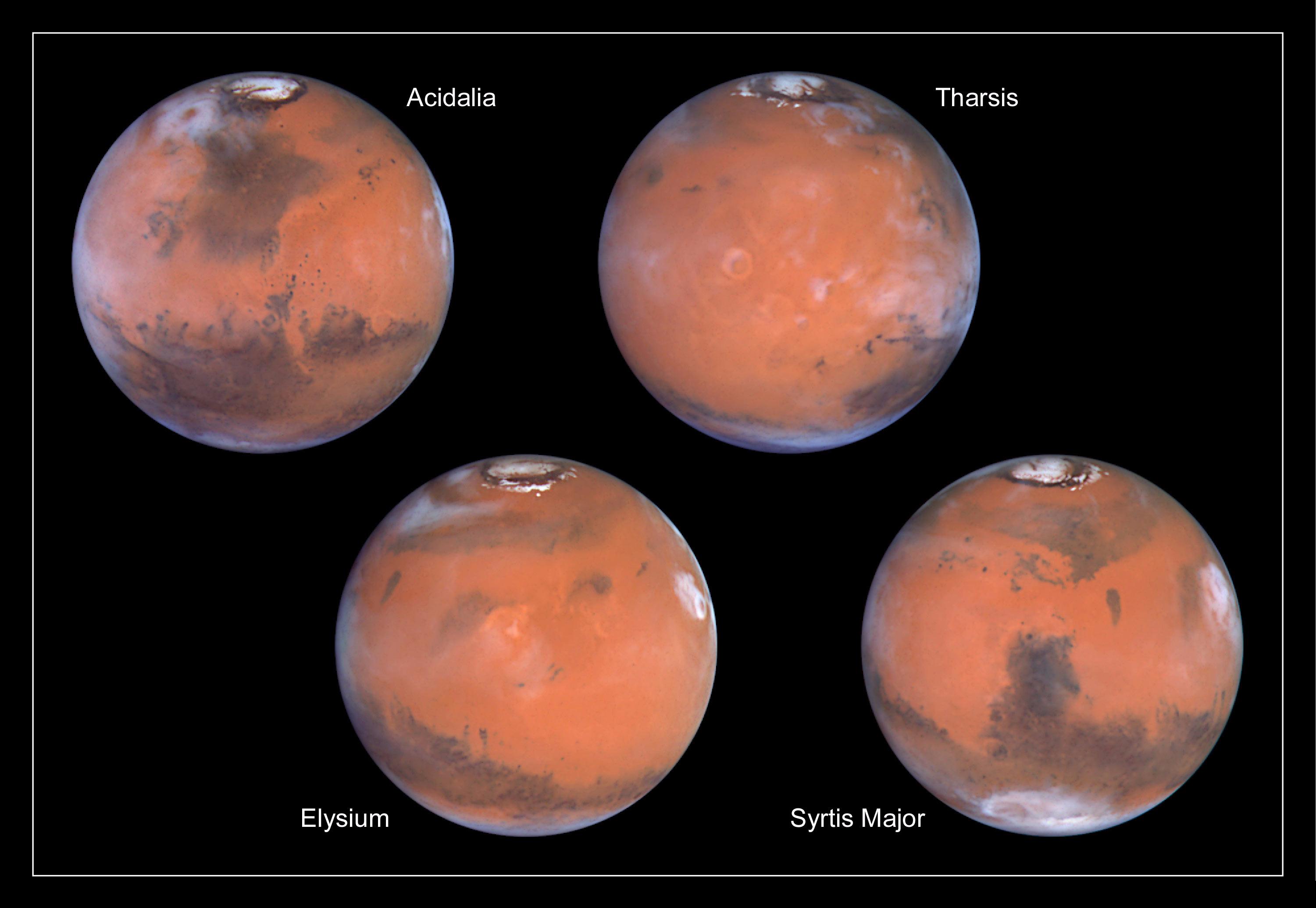
1998-05-05 | Mars |
Hubble Space Telescope |
WFPC2 |
400x200x3 |
|
|||||
|
|
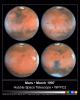
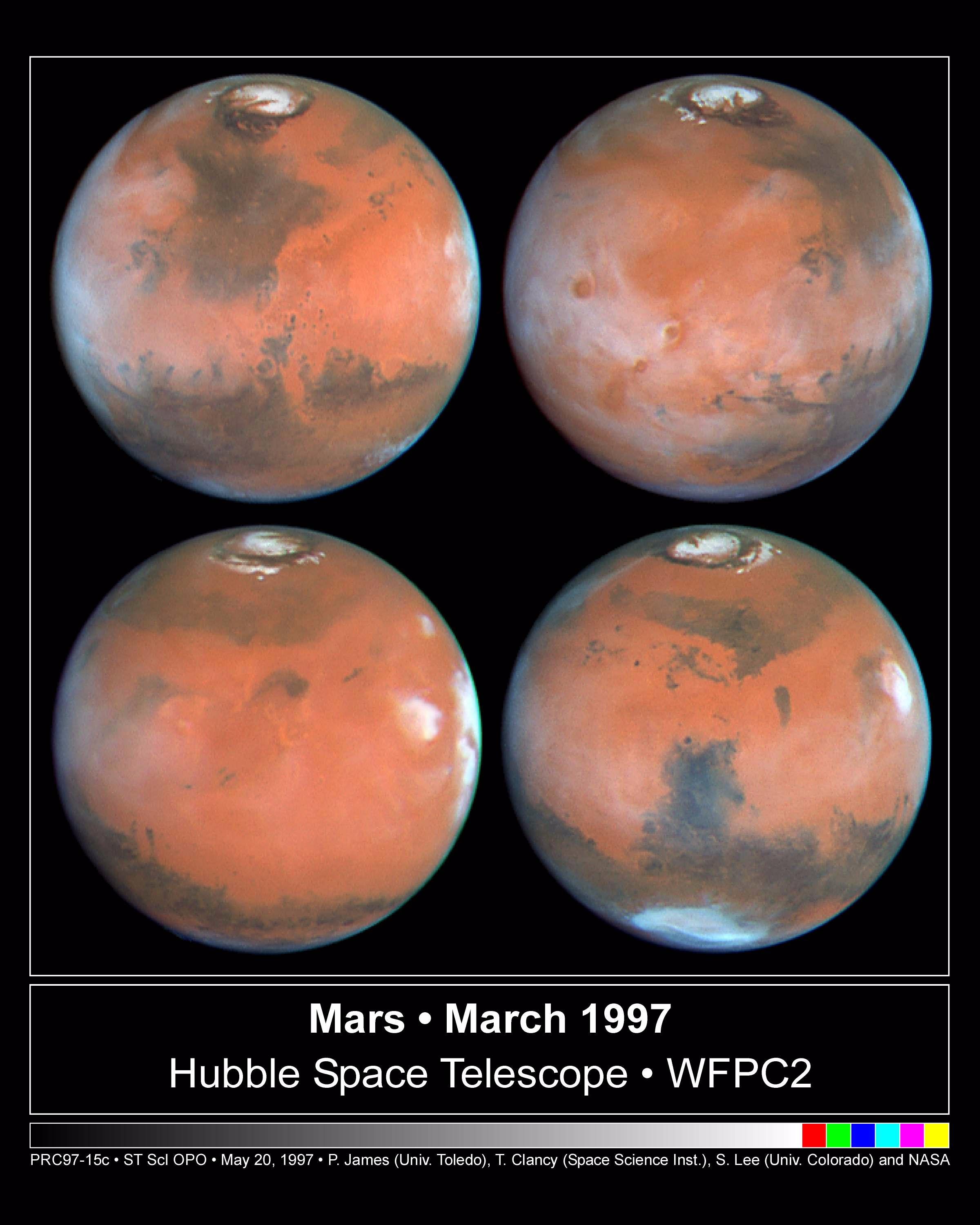
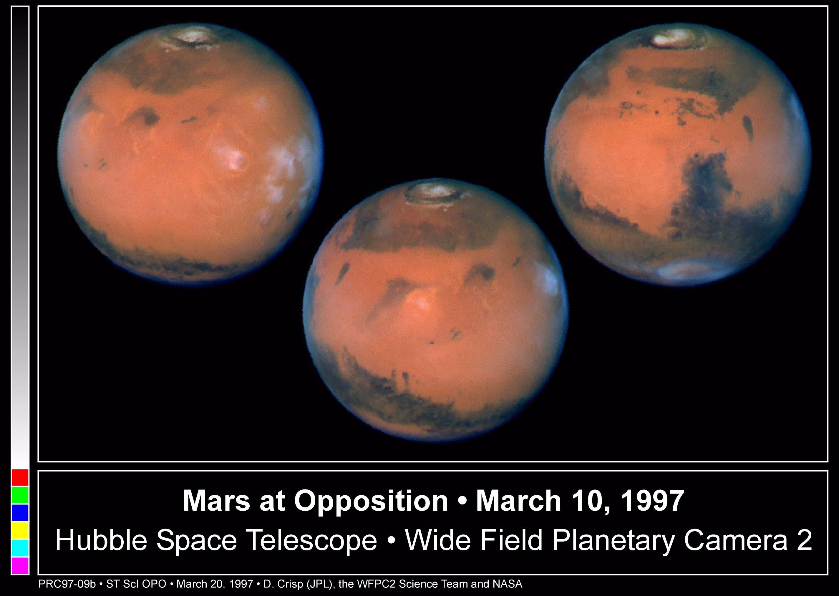
1998-05-02 | Mars |
Hubble Space Telescope |
WFPC2 |
2400x3000x3 |
|
|||||
|
|
1998-05-02 | Mars |
Hubble Space Telescope |
WFPC2 |
335x335x3 |
|
|||||
|
|
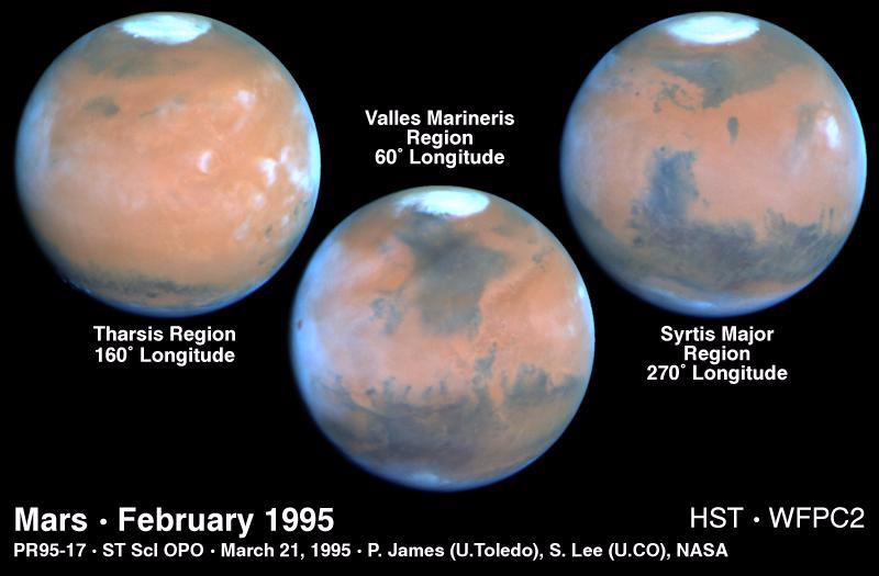
1998-05-02 | Mars |
Hubble Space Telescope |
WFPC2 |
2850x2025x3 |

|
|||||
|
|
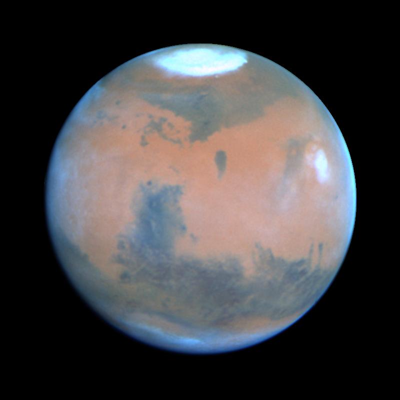
1998-05-02 | Mars |
Hubble Space Telescope |
WFPC2 |
800x525x3 |
|
|||||
|
|
1998-05-02 | Mars |
Hubble Space Telescope |
WFPC2 |
800x800x3 |

|
|||||
|
|
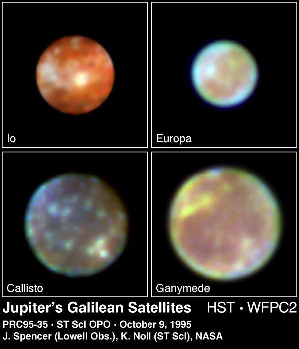
1998-05-02 | Jupiter |
Hubble Space Telescope |
WFPC2 |
600x700x3 |
|
|||||
|
|
1998-05-02 | Jupiter |
Hubble Space Telescope |
WFPC2 |
750x700x3 |
|
|||||
|
|
1998-05-02 | Jupiter |
Hubble Space Telescope |
WFPC2 |
830x568x3 |
|
|||||
|
|
1998-05-02 | Jupiter |
Hubble Space Telescope |
WFPC2 |
800x600x1 |

|
|||||
|
|
1998-05-02 | Jupiter |
Hubble Space Telescope |
WFPC2 |
600x854x1 |
|
|||||
|
|
1998-09-26 | Titan |
Hubble Space Telescope |
WFPC2 |
600x750x3 |
|
|||||
|
|
1999-05-21 | Moon |
Hubble Space Telescope |
WFPC2 |
1125x754x1 |
|
|||||
|
|
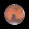
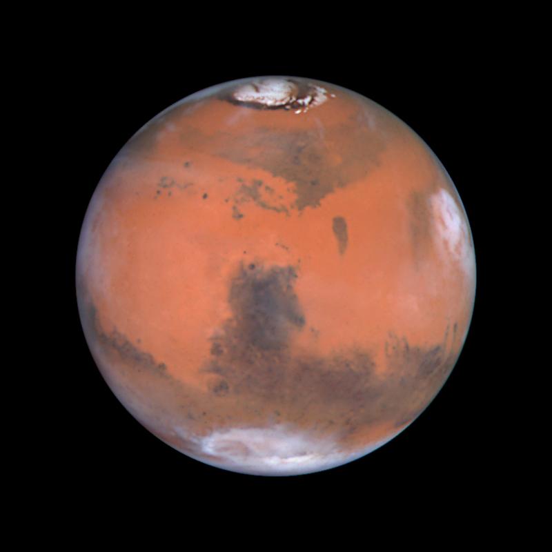
1999-08-23 | Mars |
Hubble Space Telescope |
WFPC2 |
3001x2070x3 |
|
|||||
|
|
1999-08-23 | Mars |
Hubble Space Telescope |
WFPC2 |
800x800x3 |
|
|||||
|
|
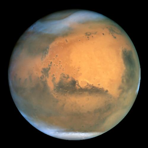
2001-07-21 | Mars |
Hubble Space Telescope |
WFPC2 |
500x500x3 |

|
|||||
|
|
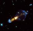
1999-12-02 | Rotten Egg Nebula |
Hubble Space Telescope |
WFPC2 |
843x794x3 |
|
|||||
|
|
2013-09-27 | Vesta |
Hubble Space Telescope |
WFPC2 |
800x525x1 |
|
|||||
|
|
2010-10-08 | Vesta |
Dawn Hubble Space Telescope |
WFC3 |
2301x2295x3 |
|
|||||
|
|
2010-10-08 | Vesta |
Dawn Hubble Space Telescope |
WFC3 |
1280x719x3 |
|
|||||
|
|
1998-06-03 | Mars |
Viking |
Visual Imaging Subsystem - Camera B |
6738x6502x3 |
|
|||||
|
|
1998-06-04 | Mars |
Viking |
Visual Imaging Subsystem - Camera B |
1024x880x3 |
|
|||||
|
|
1998-06-04 | Mars |
Viking |
Visual Imaging Subsystem - Camera B |
1024x880x3 |
|
|||||
|
|
1998-06-08 | Mars |
Viking |
Visual Imaging Subsystem - Camera B |
6035x6580x3 |

|
|||||
|
|
1998-06-08 | Mars |
Viking |
Visual Imaging Subsystem - Camera B |
5367x5053x3 |
|
|||||
|
|
1996-06-03 | Mars |
Viking |
Visual Imaging Subsystem - Camera A |
6736x6359x3 |
|
|||||
|
|
1996-06-03 | Mars |
Viking |
Visual Imaging Subsystem - Camera A |
6496x6618x3 |
|
|||||
|
|
1998-06-05 | Mars |
Viking |
Visual Imaging Subsystem - Camera A |
7170x4991x3 |
|
|||||
|
|
1998-06-05 | Mars |
Viking |
Visual Imaging Subsystem - Camera A |
7170x4991x3 |

|
|||||
|
|
1998-06-05 | Mars |
Viking |
Visual Imaging Subsystem - Camera A |
7170x4991x3 |
|
|||||
|
|
1998-06-05 | Mars |
Viking |
Visual Imaging Subsystem - Camera A |
6994x5029x3 |
|
|||||
|
|
1998-06-05 | Mars |
Viking |
Visual Imaging Subsystem - Camera A |
6994x5029x3 |
|
|||||
|
|
1998-06-05 | Mars |
Viking |
Visual Imaging Subsystem - Camera A |
6994x5029x3 |
|
|||||
|
|
1998-06-05 | Mars |
Viking |
Visual Imaging Subsystem - Camera A |
6994x5029x3 |
|
|||||
|
|
1998-06-08 | Mars |
Viking |
Visual Imaging Subsystem - Camera A |
6787x6787x3 |
|
|||||
|
|
1998-06-08 | Mars |
Viking |
Visual Imaging Subsystem - Camera A |
6398x6398x3 |

|
|||||
|
|
1998-06-08 | Mars |
Viking |
Visual Imaging Subsystem - Camera A |
6787x6787x3 |
|
|||||
|
|
1998-06-08 | Mars |
Viking |
Visual Imaging Subsystem - Camera A |
6787x6787x3 |
|
|||||
|
|
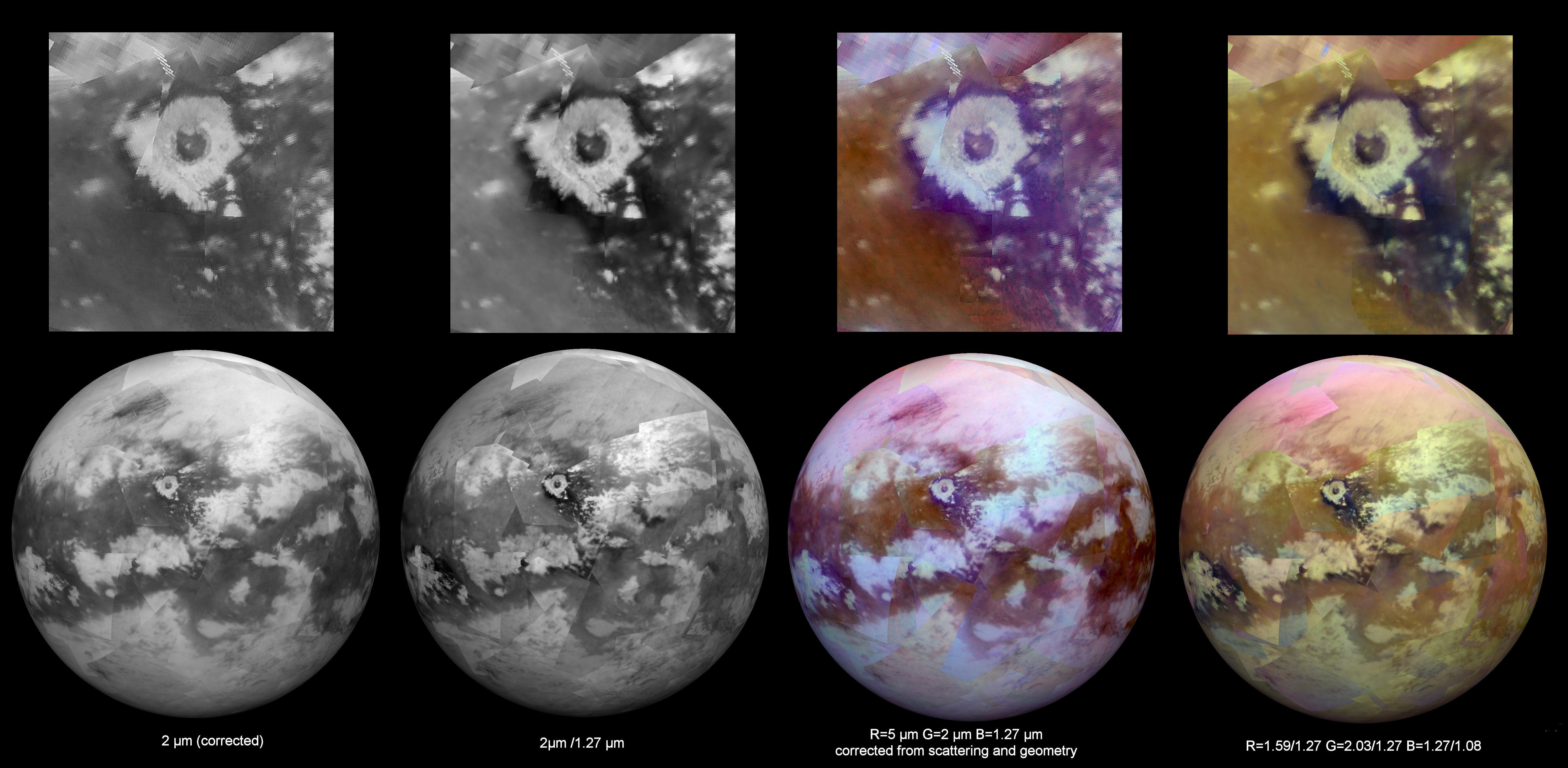
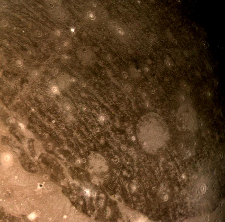
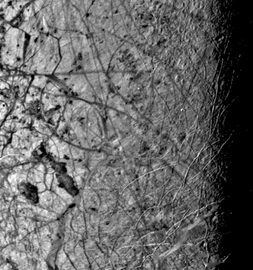
2005-04-27 | Titan |
Cassini-Huygens |
Visual and Infrared Mapping Spectrometer Radar Mapper |
750x196x3 |
|
|||||
|
|
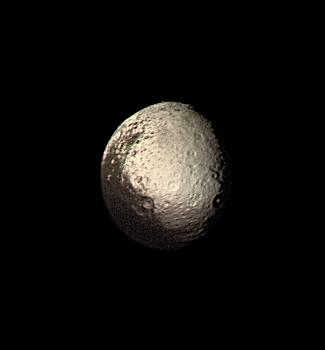
2005-01-10 | Iapetus |
Cassini-Huygens |
Visual and Infrared Mapping Spectrometer |
504x576x3 |
|
|||||
|
|
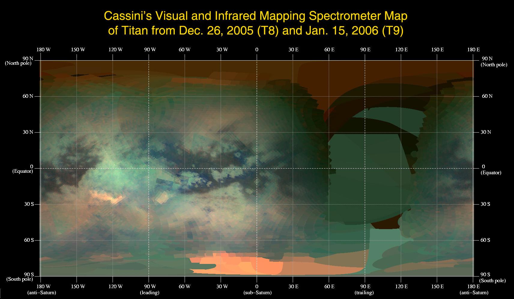
2006-02-10 | Titan |
Cassini-Huygens |
Visual and Infrared Mapping Spectrometer |
1712x997x3 |

|
|||||
|
|
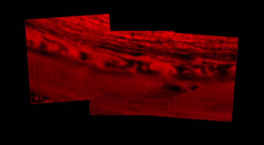
2006-12-12 | Titan |
Cassini-Huygens |
Visual and Infrared Mapping Spectrometer |
1256x940x3 |
|
|||||
|
|
2011-07-14 | Titan |
Cassini-Huygens |
Visual and Infrared Mapping Spectrometer |
640x321x3 |
|
|||||
|
|
2015-12-04 | Titan |
Cassini-Huygens |
Visual and Infrared Mapping Spectrometer |
2002x2002x3 |
|
|||||
|
|
2016-03-24 | Titan |
Cassini-Huygens |
Visual and Infrared Mapping Spectrometer |
5675x2780x3 |
|
|||||
|
|
2017-09-15 | Saturn |
Cassini-Huygens |
Visual and Infrared Mapping Spectrometer |
1000x550x3 |
|
|||||
|
|
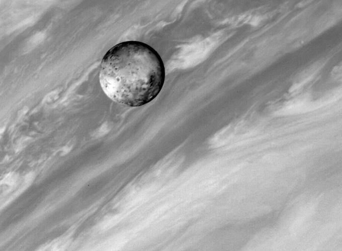
2011-01-26 | Jupiter |
IRTF |
Visible Light Camera Gemini North Telescope Hubble Space Telescope VLT |
1202x1200x3 |
|
|||||
|
|
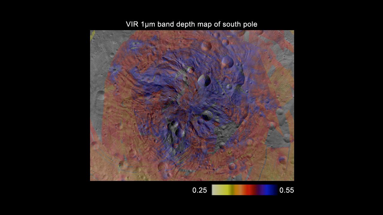
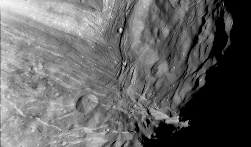
2012-05-10 | Vesta |
Dawn |
VIR |
1280x720x3 |
|
|||||
|
|
2013-11-06 | Vesta |
Dawn |
VIR |
3145x1516x3 |
|
|||||
|
|
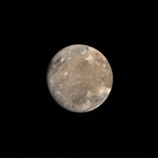
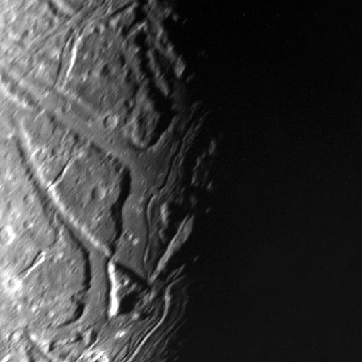
1998-06-04 | Ganymede |
Voyager |
VG ISS - Wide Angle |
1024x520x3 |
|
|||||
|
|
1996-09-26 | Dione |
Voyager |
VG ISS - Narrow Angle |
1200x1180x1 |
|
|||||
|
|
1996-01-29 | Titania |
Voyager |
VG ISS - Narrow Angle |
700x700x3 |

|
|||||
|
|
1996-01-29 | Titania |
Voyager |
VG ISS - Narrow Angle |
640x760x1 |

|
|||||
|
|
1996-01-31 | Umbriel |
Voyager |
VG ISS - Narrow Angle |
400x400x1 |
|
|||||
|
|
1999-08-30 | Miranda |
Voyager |
VG ISS - Narrow Angle |
459x600x3 |
|
|||||
|
|
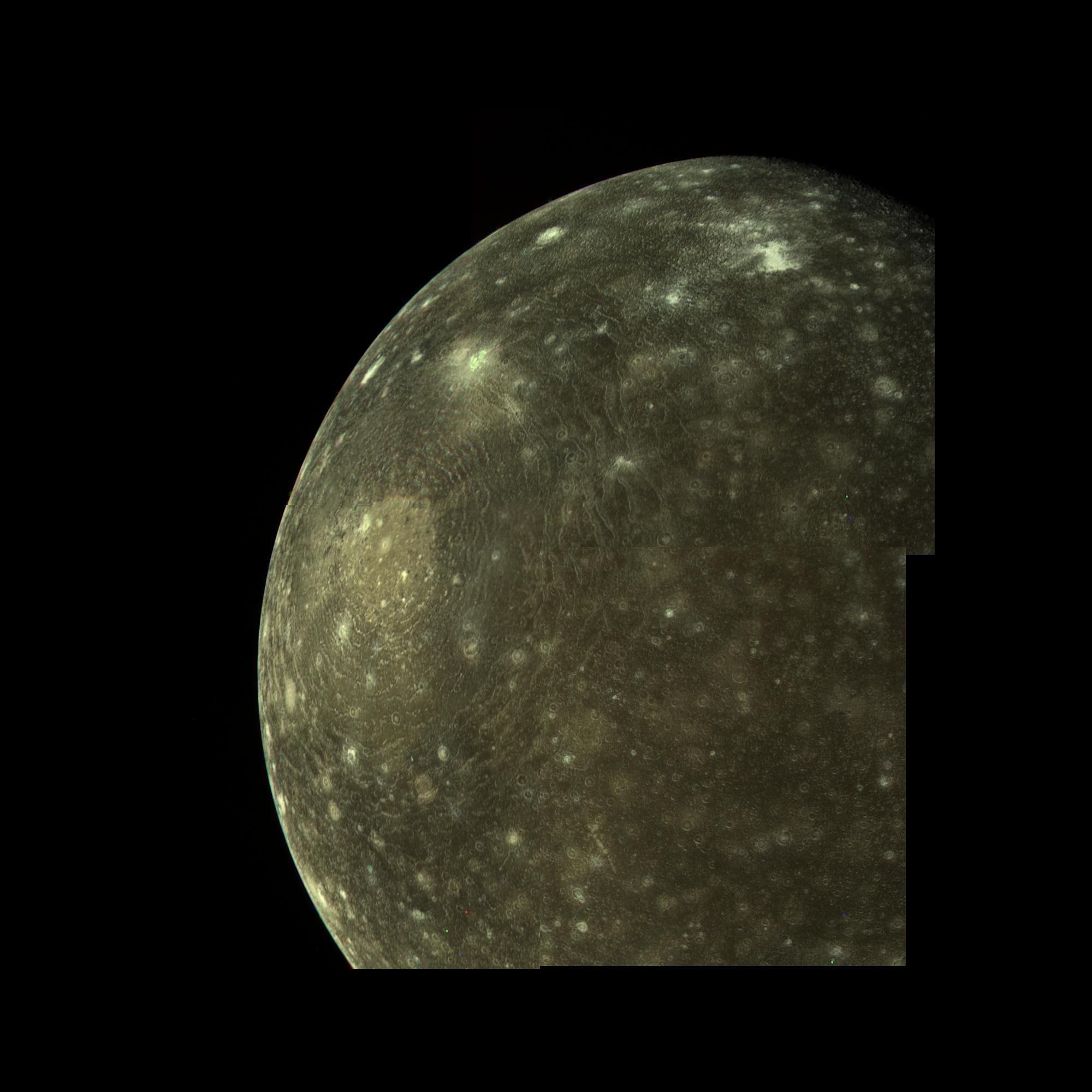
1996-08-12 | Callisto |
Voyager |
VG ISS - Narrow Angle |
2000x2000x3 |
|
|||||
|
|
1996-01-29 | Ganymede |
Voyager |
VG ISS - Narrow Angle |
2000x2000x3 |
|
|||||
|
|
1996-01-29 | Miranda |
Voyager |
VG ISS - Narrow Angle |
789x768x1 |
|
|||||
|
|
1998-06-04 | Iapetus |
Voyager |
VG ISS - Narrow Angle |
325x350x3 |
|
|||||
|
|
1996-07-17 | Ganymede |
Voyager |
VG ISS - Narrow Angle |
300x300x1 |
|
|||||
|
|
1996-07-17 | Ganymede |
Voyager |
VG ISS - Narrow Angle |
300x300x3 |
|
|||||
|
|
1999-03-15 | Ganymede |
Voyager |
VG ISS - Narrow Angle |
600x600x3 |
|
|||||
|
|
1999-02-06 | Ganymede |
Voyager |
VG ISS - Narrow Angle |
740x730x3 |
|
|||||
|
|
1999-02-06 | Ganymede |
Voyager |
VG ISS - Narrow Angle |
816x870x3 |
|
|||||
|
|
1997-01-09 | Io |
Voyager |
VG ISS - Narrow Angle |
680x500x1 |

|
|||||
|
|
1997-01-09 | Ganymede |
Voyager |
VG ISS - Narrow Angle |
700x500x1 |
|
|||||
|
|
1996-09-26 | Callisto |
Voyager |
VG ISS - Narrow Angle |
800x800x3 |
|
|||||
|
|
1996-09-26 | Europa |
Voyager |
VG ISS - Narrow Angle |
704x680x3 |
|
|||||
|
|
1997-01-09 | Callisto |
Voyager |
VG ISS - Narrow Angle |
740x750x1 |
|
|||||
|
|
1998-12-05 | Ariel |
Voyager |
VG ISS - Narrow Angle |
1275x1275x1 |
|
|||||
|
|
1998-10-13 | Oberon |
Voyager |
VG ISS - Narrow Angle |
1500x1500x1 |
|
|||||
|
|
1998-11-13 | Miranda |
Voyager |
VG ISS - Narrow Angle |
800x800x1 |
|
|||||
|
|
1998-12-05 | Ariel |
Voyager |
VG ISS - Narrow Angle |
512x512x1 |
|
|||||
|
|
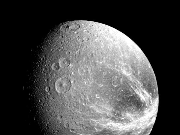
1998-11-13 | Dione |
Voyager |
VG ISS - Narrow Angle |
600x450x1 |
|
|||||
|
|
1998-11-13 | Rhea |
Voyager |
VG ISS - Narrow Angle |
200x200x1 |
|
|||||
|
|
1998-11-08 | Dione |
Voyager |
VG ISS - Narrow Angle |
500x500x1 |
|
|||||
|
|
1999-01-06 | Tethys |
Voyager |
VG ISS - Narrow Angle |
900x2100x1 |
|
|
|||||
|
|
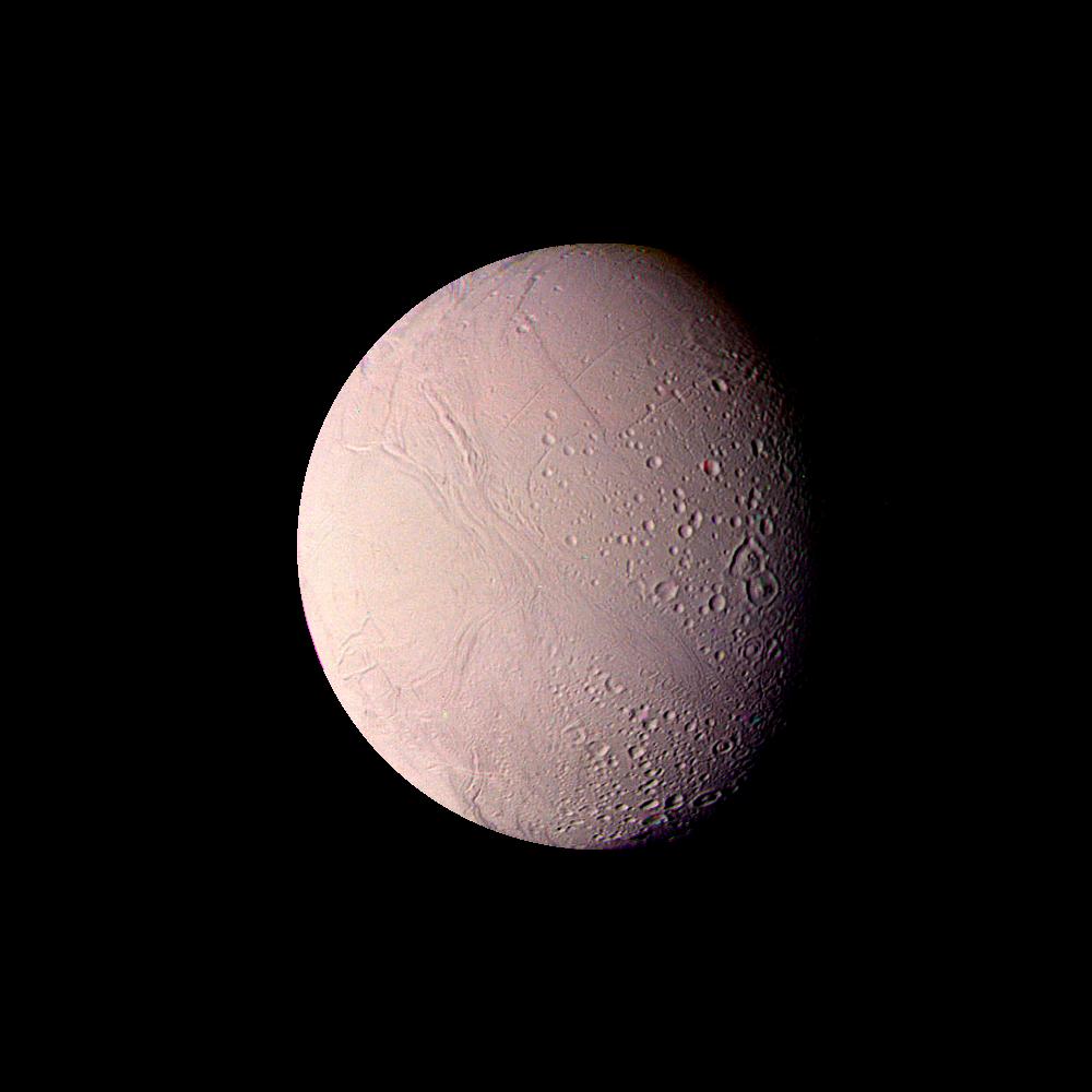
1999-03-23 | Enceladus |
Voyager |
VG ISS - Narrow Angle |
1000x1000x3 |
|
|||||
|
|
1999-04-11 | Tethys |
Voyager |
VG ISS - Narrow Angle |
250x170x1 |
|
|||||
|
|
1999-02-08 | Europa |
Voyager |
VG ISS - Narrow Angle |
790x790x1 |
|
|||||
|
|
1999-02-08 | Europa |
Voyager |
VG ISS - Narrow Angle |
864x922x1 |

|
|||||
|
|
1999-03-15 | Callisto |
Voyager |
VG ISS - Narrow Angle |
300x300x3 |
|
|||||
|
|
1999-03-13 | Io |
Voyager |
VG ISS - Narrow Angle |
783x930x3 |
|
|||||
|
|
1999-03-13 | Ganymede |
Voyager |
VG ISS - Narrow Angle |
830x650x3 |
|
|||||
|
|
1999-03-13 | Ganymede |
Voyager |
VG ISS - Narrow Angle |
875x905x3 |
|
|||||
|
|
1999-03-13 | Ganymede |
Voyager |
VG ISS - Narrow Angle |
860x901x3 |
|
|||||
|
|
1999-03-13 | Ganymede |
Voyager |
VG ISS - Narrow Angle |
780x910x3 |
|
|||||
|
|
1999-03-23 | Europa |
Voyager |
VG ISS - Narrow Angle |
790x790x1 |
|
|||||
|
|
1999-05-21 | Mimas |
Voyager |
VG ISS - Narrow Angle |
140x140x1 |
|
|||||
|
|
1999-06-16 | Ganymede |
Voyager |
VG ISS - Narrow Angle |
800x800x3 |
|
|||||
|
|
1999-06-16 | Tethys |
Voyager |
VG ISS - Narrow Angle |
150x150x1 |
|
|||||
|
|
1999-06-19 | Titania |
Voyager |
VG ISS - Narrow Angle |
150x440x1 |
|
|
|||||
 |
 |
|
|
|
|
|
|
|
|

|
|
| 1-100 | 101-200 | 201-300 | 301-400 | 401-500 | 501-600 | 601-700 | 701-800 | 801-900 | 901-1000 |
| Currently displaying images: 1 - 100 of 3151 |