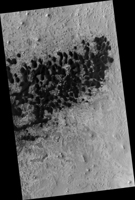
Map Projected Browse Image
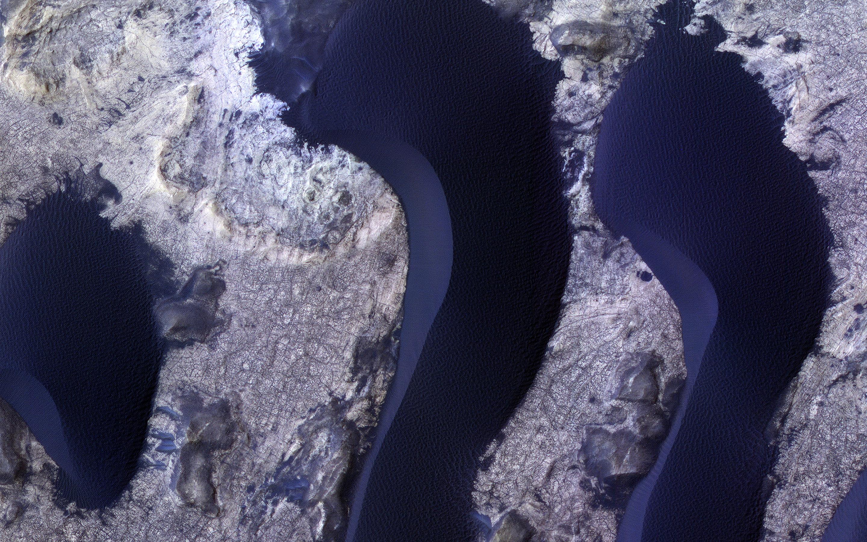
Click on image for larger versionHiRISE monitors dune fields across Mars to track how they are changing. The mobile sand also cleans dust off of the bedrock in inter-dune areas, providing good views of the bedrock structures and colors.
Here we see subtle color differences between layers, and a dense network of fractures. The dunes, in contrast, are uniformly dark and relatively blue in enhanced color (really grey but less red than the bedrock, so they appear blue here).
The map is projected here at a scale of 25 centimeters (9.8 inches) per pixel. (The original image scale is 27.2 centimeters [10.7 inches] per pixel [with 1 x 1 binning]; objects on the order of 82 centimeters [32.3 inches] across are resolved.) North is up.
The University of Arizona, in Tucson, operates HiRISE, which was built by Ball Aerospace & Technologies Corp., in Boulder, Colorado. NASA's Jet Propulsion Laboratory, a division of Caltech in Pasadena, California, manages the Mars Reconnaissance Orbiter Project for NASA's Science Mission Directorate, Washington.

