Your search criteria found
3152
images
Feature Name
Go to PIAxxxxx:
Refine this list of images by:
Target:
Amalthea
Annefrank
Anthe
Ariel
Asteroid
Callisto
Cepheus
Ceres
Charon
Comet
Dactyl
Deimos
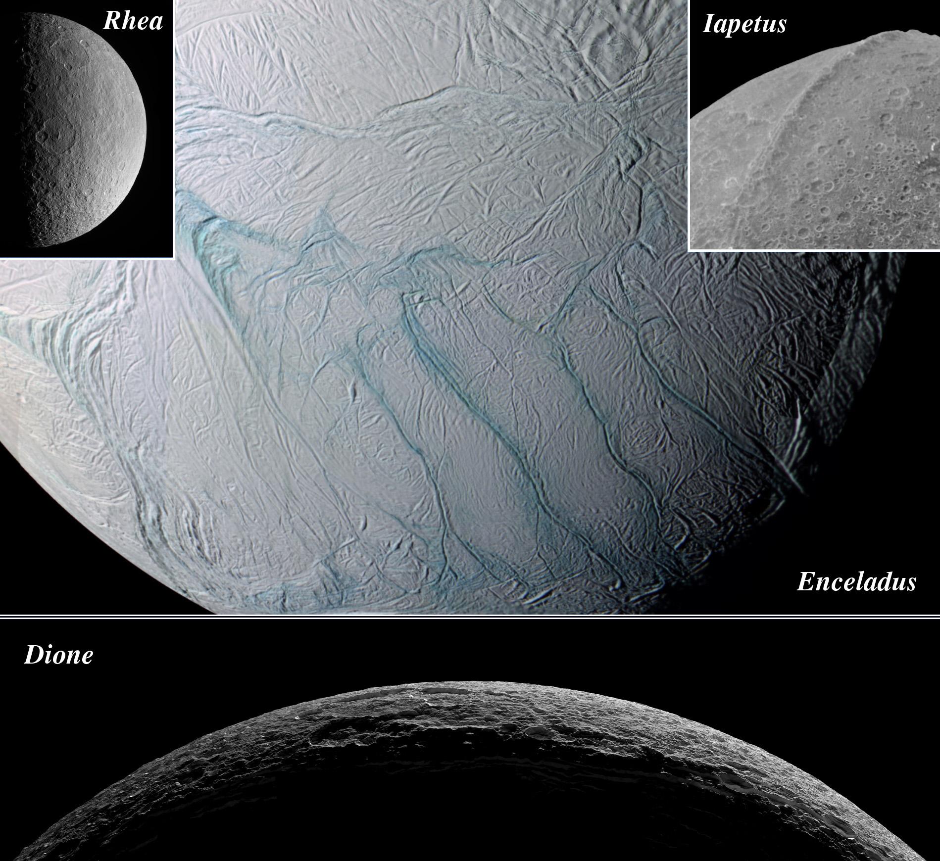
Dione
Earth
Enceladus
Epimetheus
Eros
Europa
Ganymede
Gaspra
HD 172555
Hartley 2
Helene
Hydra
Hyperion
ISON
Iapetus
Ida
Io
J Rings
Janus
Jupiter
M11
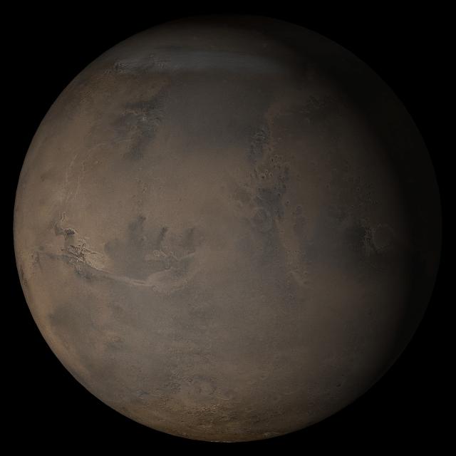
Mars
Mathilde
Mercury
Messier 87
Mimas
Miranda
Moon
Neptune
Oberon
Pandora
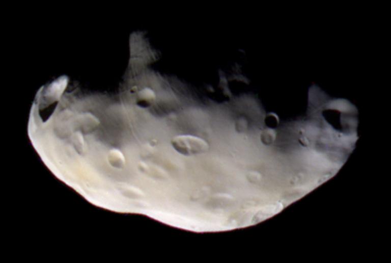
Phobos
Phoebe
Pluto
Rhea
Rotten Egg Nebula
S Rings
Saturn
Schwassmann-Wachmann 3
Sun
Tempel 1
Tethys
Thebe
Titan
Titania
Triton
Umbriel
Venus
Vesta
Wild 2
Mission:
2001 Mars Odyssey
ACRIMSAT
Advanced Rapid Imaging and Analysis (ARIA)
Aerosol-Cloud-Ecosystem (ACE)
Airborne Synthetic Aperture Radar (AIRSAR)
Antarctic Meteorite Location and Mapping Project (AMLAMP)
Aqua
Aquarius
Cassini-Huygens
Catalina Sky Survey (CSS)
CloudSat
Dawn
Deep Impact
Deep Space Network (DSN)
Deep Space Program Science Experiment (DSPSE)
Double Asteroid Redirect Test (DART)
Double Asteroid Redirection Test (DART)
E-DECIDER
ECOsystem Spaceborne Thermal Radiometer Experiment on Space Station (ECOSTRESS)
EPOXI
Earth Observing System (EOS)
Earth Surface Mineral Dust Source Investigation (EMIT)
Galileo
Goldstone Deep Space Network (DSN)
Gravity Recovery and Climate Experiment (GRACE)
Gravity Recovery and Interior Laboratory (GRAIL)
Herschel Space Observatory
Hubble Space Telescope
InSight
Infrared Telescope Facility
Jason-1
Juno
LCROSS
Landsat
Low-Density Supersonic Decelerator Project (LDSD)
Lunar Orbiter
Lunar Reconnaissance Orbiter (LRO)
MESSENGER
Magellan
Mariner Venus Mercury (Mariner 10)
Mars 2020 Project
Mars 2020 Rover
Mars Exploration Rover (MER)
Mars Express (MEX)
Mars Global Surveyor (MGS)
Mars Helicopter
Mars Pathfinder (MPF)
Mars Reconnaissance Orbiter (MRO)
Mars Science Laboratory (MSL)
Moderate Resolution Imaging Spectroradiometer (MODIS)
NEAR Shoemaker
New Horizons
OSTM/Jason-2
Orbiting Carbon Observatory (OCO-2)
Phoenix
Polar Radiant Energy in the Far-InfraRed Experiment (PREFIRE)
Psyche
QuikScat
Ranger 7
Ranger 9
RapidScat
Sentinel-6/Jason-CS
Shuttle Radar Topography Mission (SRTM)
Simplified High Impact Energy Landing Device (SHIELD)
Soil Moisture Active Passive (SMAP)
Solar Dynamics Observatory (SDO)
Spaceborne Imaging Radar-C/X-Band Synthetic Aperture Radar
Spitzer Space Telescope
Stardust
StardustNExT
Surface Water and Ocean Topography (SWOT)
TOPEX/Poseidon
Terra
UAVSAR
Viking
Voyager
Wide-field Infrared Survey Explorer (WISE)
Spacecraft:
2001 Mars Odyssey
ALOS-2
Aqua
Aquarius/SAC-D Observatory
COSMO-SkyMed Radar Satellite
Cassini Orbiter
Clementine 1
CloudSat
Copernicus Sentinel-1A
Copernicus Sentinel-1B
CubeSat
Curiosity
DART
Dawn
Deep Impact
Deep Impact (DIXI)
ER-2
GRACE Satellite
GRAIL Spacecraft
Galileo Orbiter
Goldstone Antenna
Gulfstream-III
InSight Mars Lander
Ingenuity
International Space Station (ISS)
Jason-1 (TOPEX/Poseidon)
Juno
LCROSS
Landsat
Lunar Orbiter
Lunar Reconnaissance Orbiter
Lunar Reconnaissance Orbiter (LRO)
MESSENGER
Magellan
Mariner 10
Mars 2020 Rover
Mars Express (MEX)
Mars Global Surveyor Orbiter
Mars Pathfinder Lander
Mars Pathfinder Rover
Mars Reconnaissance Orbiter (MRO)
NASA DC-8 Aircraft
NEAR Shoemaker
New Horizons
New Horizons Spacecraft
OCO-2 Observatory
OSTM/Jason-2
Opportunity
Perseverance
Phoenix Lander
Phoenix Mars Lander
Psyche
QuikScat Satellite
Ranger 7
Ranger 9
SWOT
Sentinel-6 Michael Freilich
Space Shuttle
Space Shuttle Endeavour
Spirit
Stardust
TOPEX/Poseidon
Terra
Viking Lander 1
Viking Lander 2
Viking Orbiter 1
Viking Orbiter 2
Voyager 1
Voyager 2
Instrument:
610 Millimeter Lunar Orbiter Camera
Advanced Camera for Surveys
Advanced Spaceborne Thermal Emission and Reflection Radiometer (ASTER)
AirSAR
Airborne Visible/Infrared Imaging Spectrometer
Altimeter
Aquarius
Atmosphere Imaging Assembly (AIA)
Atmospheric Infrared Sounder (AIRS)
Atmospheric Structure / Meteorology Instrument
Autonomous Navigation System
C-Band Interferometric Radar
C-Band Radar
C-SAR Sensor
Camera 1
Camera 2
Chandra X-ray Telescope
Cloud Profiling Radar (CPR)
Compact Reconnaissance Imaging Spectrometer for Mars (CRISM)
Composite Infrared Spectrometer
Context Camera (CTX)
Deep Space Network
Descent Image Motion Estimation System (DIMES)
EMIT
Faint Object Camera
Framing Camera
Gamma Ray Spectrometer
Gamma Ray Spectrometer - Neutron Spectrometer
Gamma Ray and Neutron Spectrometer (GRNS)
Gamma-Ray and Neutron Spectrometer (GRNS)
Gemini North Telescope
Goldstone Solar System Radar
Hale Telescope 200-inch
Hazard Avoidance Camera
High Resolution Imaging Science Experiment (HiRISE)
High Resolution Instrument (HRI)
Hubble Space Telescope
ISS-RapidScat
Imager for Mars Pathfinder
Imaging Science Subsystem
Imaging Science Subsystem - Narrow Angle
Imaging Science Subsystem - Wide Angle
Impactor Targeting Sensor (ITS)
Infrared Array Camera (IRAC)
Infrared Spectrometer (IRS)
Infrared Telescope
Infrared Telescope Facility
JunoCam
K-Band Ranging System
L-Band UAVSAR
Long Range Reconnaissance Imager (LORRI)
Lunar Orbit Laser Altimeter
Lunar Reconnaissance Orbiter Camera (NAC)
Lunar Reconnaissance Orbiter Camera (WAC)
MISR
MODIS
Magnetometer
Magnetometer (MAG)
Mars Advanced Radar for Subsurface and Ionospheric Sounding (MARSIS)
Mars Color Imager (MARCI)
Mars Hand Lens Imager (MAHLI)
Mars Orbiter Camera (MOC)
Mars Orbiter Laser Altimeter
Mastcam
Mastcam-Z
Medium Resolution Instrument (MRI)
Mercury Atmospheric and Surface Composition Spectrometer (MASCS)
Mercury Dual Imaging System
Mercury Dual Imaging System (MDIS)
Mercury Dual Imaging System - Narrow Angle
Mercury Dual Imaging System - Wide Angle
Mercury Laser Altimeter (MLA)
Microscopic Imager
Miniature Thermal Emission Spectrometer
Moderate Resolution Imaging Spectroradiometer (MODIS) Terra
Multi-Spectral Imager
Multi-angle Imaging SpectroRadiometer (MISR)
Multiangle SpectroPolarimetric Imager (AirMSPI)
Multiband Imaging Photometer (MIPS)
Multispectral Visible Imaging Camera (MVIC)
Navigation Camera
Navigation Camera (MSL)
Near Infra-Red Mapping Spectrometer
Near Infrared Mapping Spectrometer
OCO-2
PALSAR-2
Panoramic Camera
Photodetector Array Camera and Spectrometer
Radar Mapper
Radar System
Radio and Plasma Wave Science Instrument
Rover Cameras
SAR
Sample Analysis at Mars (SAM)
SeaWinds Scatterometer
Shallow Subsurface Radar (SHARAD)
Solid-State Imaging
Spitzer Space Telescope
Stardust Navigation Camera
SuperCam
Surface Stereo Imager (SSI)
TV Camera
Thermal Emission Imaging System
Ultraviolet/Visible Camera
VG Imaging Science Subsystem - Narrow Angle
VG Imaging Science Subsystem - Wide Angle
Visible and Infrared Spectrometer (VIR)
Visual Imaging Subsystem - Camera A
Visual Imaging Subsystem - Camera B
Visual and Infrared Mapping Spectrometer
WISE Telescope
Wide Field Camera 3
Wide Field Planetary Camera 2
X-band Interferometric Synthetic Aperture Radar
X-band interferometric synthetic aperture radar
ZTF
Click on an image for detailed information
Click on a column heading to sort in ascending or descending order
My
List
Addition Date
Target
Mission
Instrument
Size
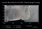
2005-11-16
Titan
Cassini-Huygens
Radar Mapper
1051x972x3
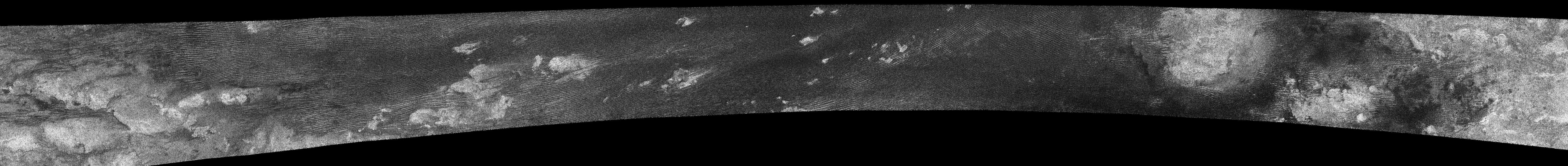
PIA03570:
Radar Swath of Oct. 28, 2005, Titan Flyby
Full Resolution:
TIFF
(3.069 MB)
JPEG
(65.05 kB)
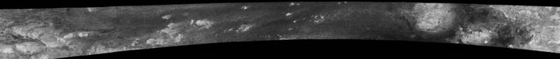
2005-11-16
Titan
Cassini-Huygens
Radar Mapper
2538x1900x3
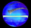
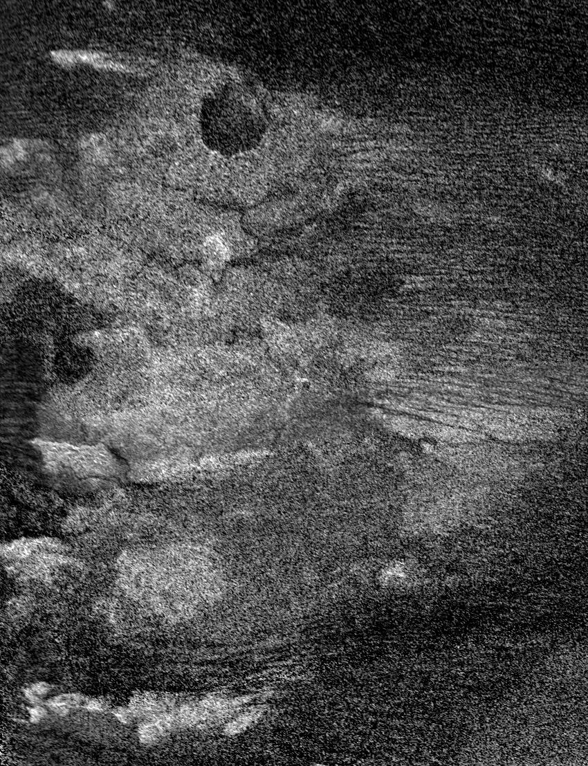
PIA03571:
Titan Viewed by Cassini's Radar
Full Resolution:
TIFF
(14.48 MB)
JPEG
(225.8 kB)
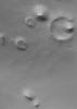
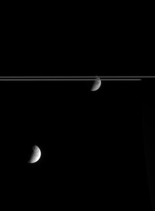
2005-11-16
Pandora
Cassini-Huygens
ISS - Narrow Angle
768x516x3
PIA07632:
Pandora's Color Close-up
Full Resolution:
TIFF
(1.19 MB)
JPEG
(19.77 kB)
2005-11-17
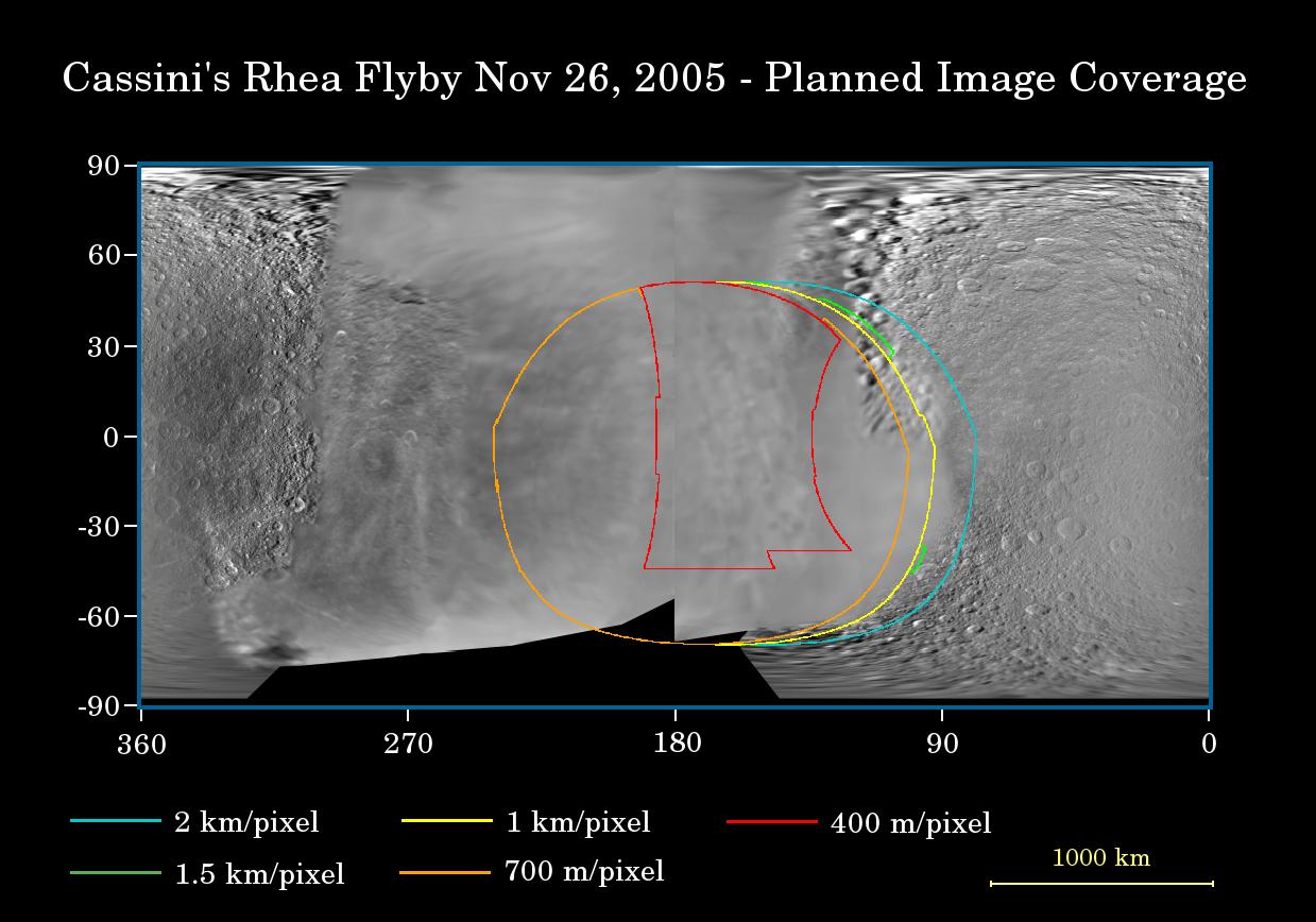
Rhea
Cassini-Huygens
Imaging Science Subsystem
1239x868x3
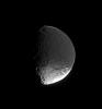
PIA07756:
Prime Time for Rhea
Full Resolution:
TIFF
(3.23 MB)
JPEG
(122.4 kB)
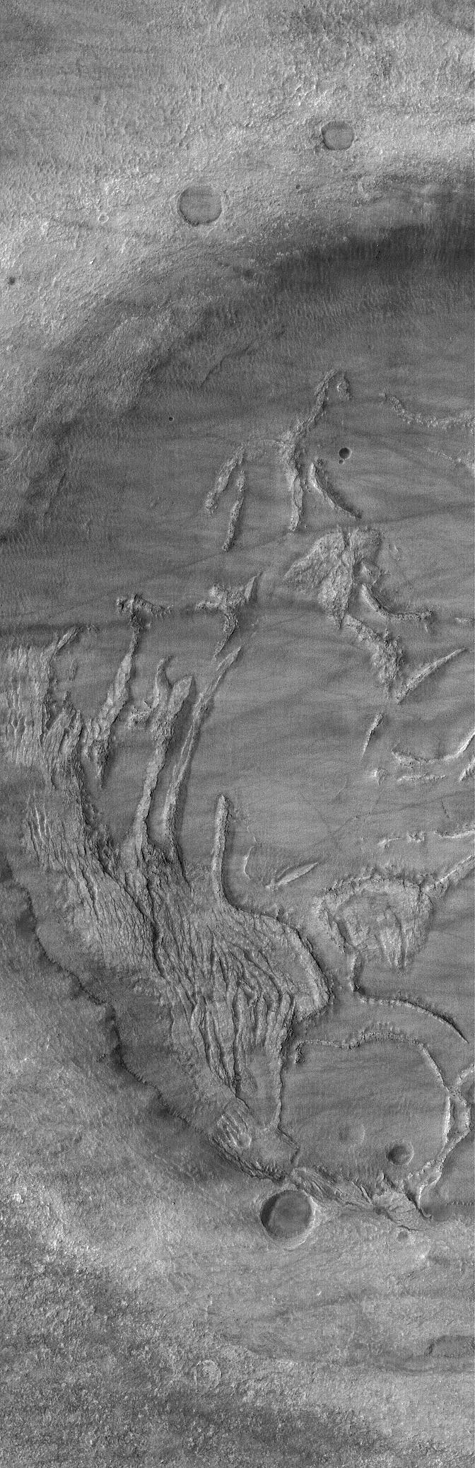
2005-11-17
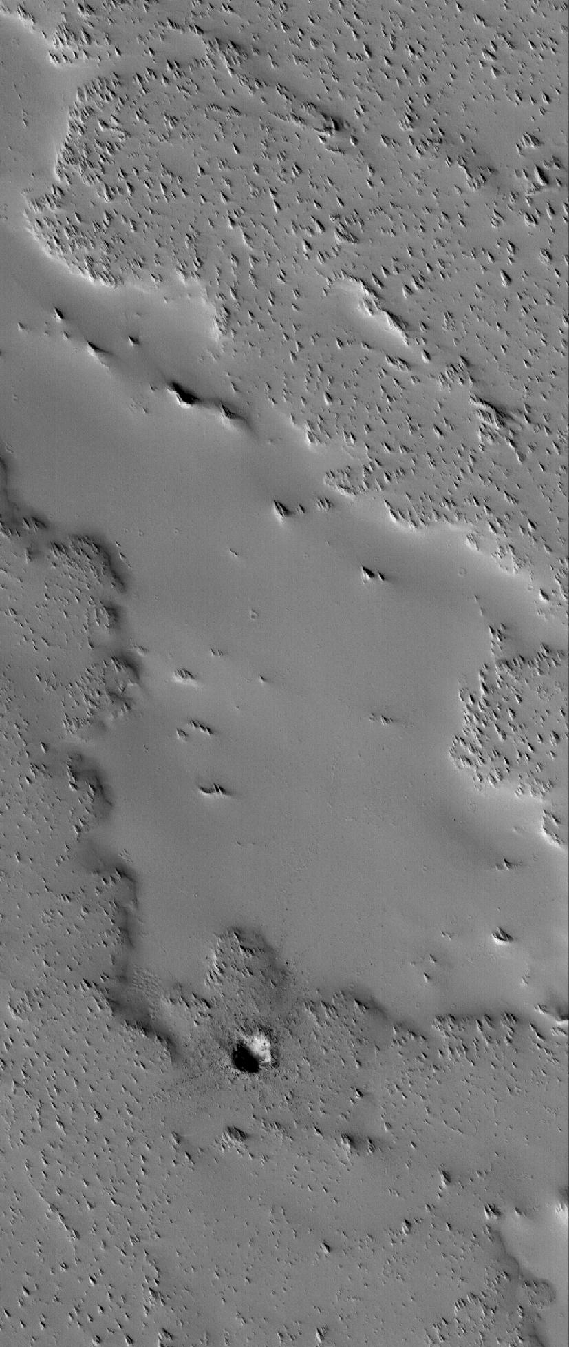
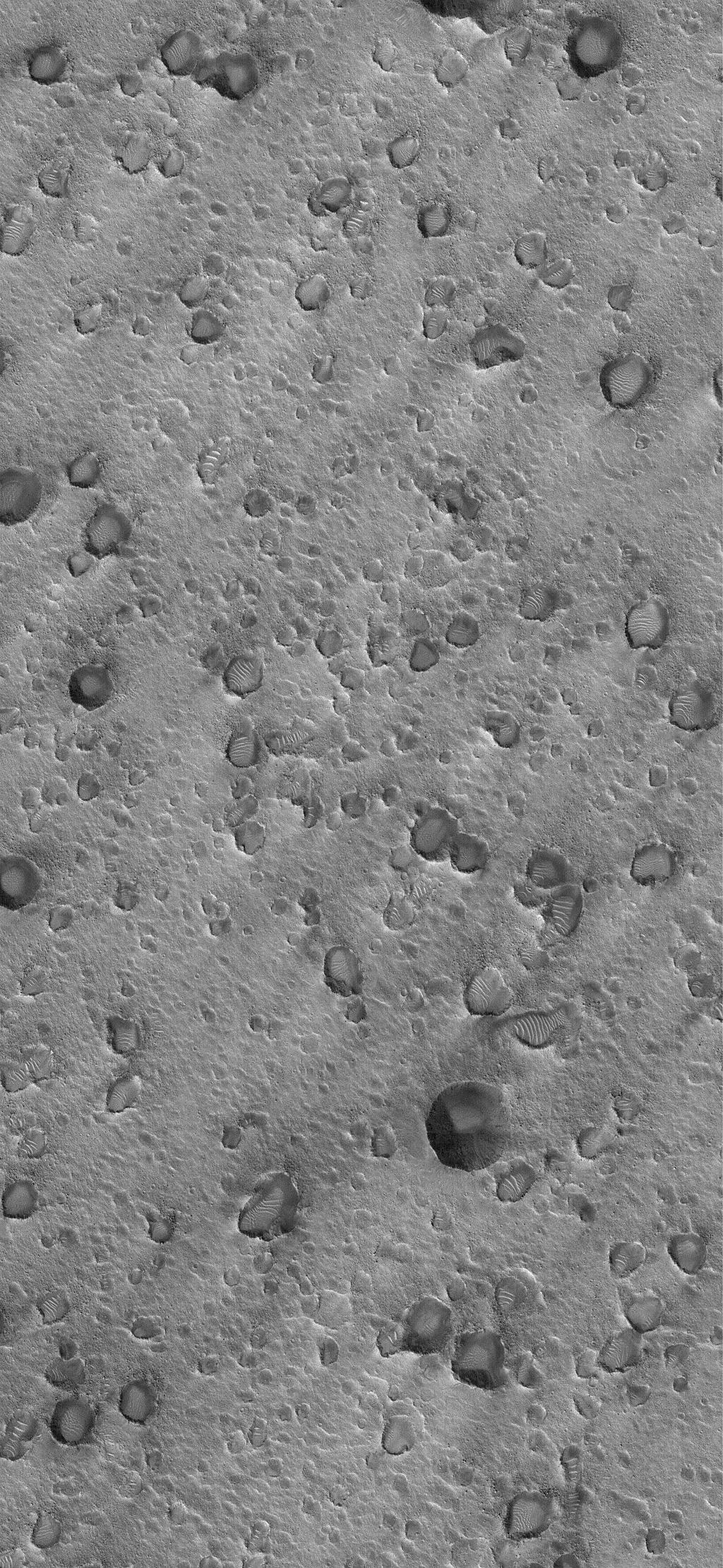
Mars
Mars Global Surveyor (MGS)
Mars Orbiter Camera (MOC)
827x1955x1
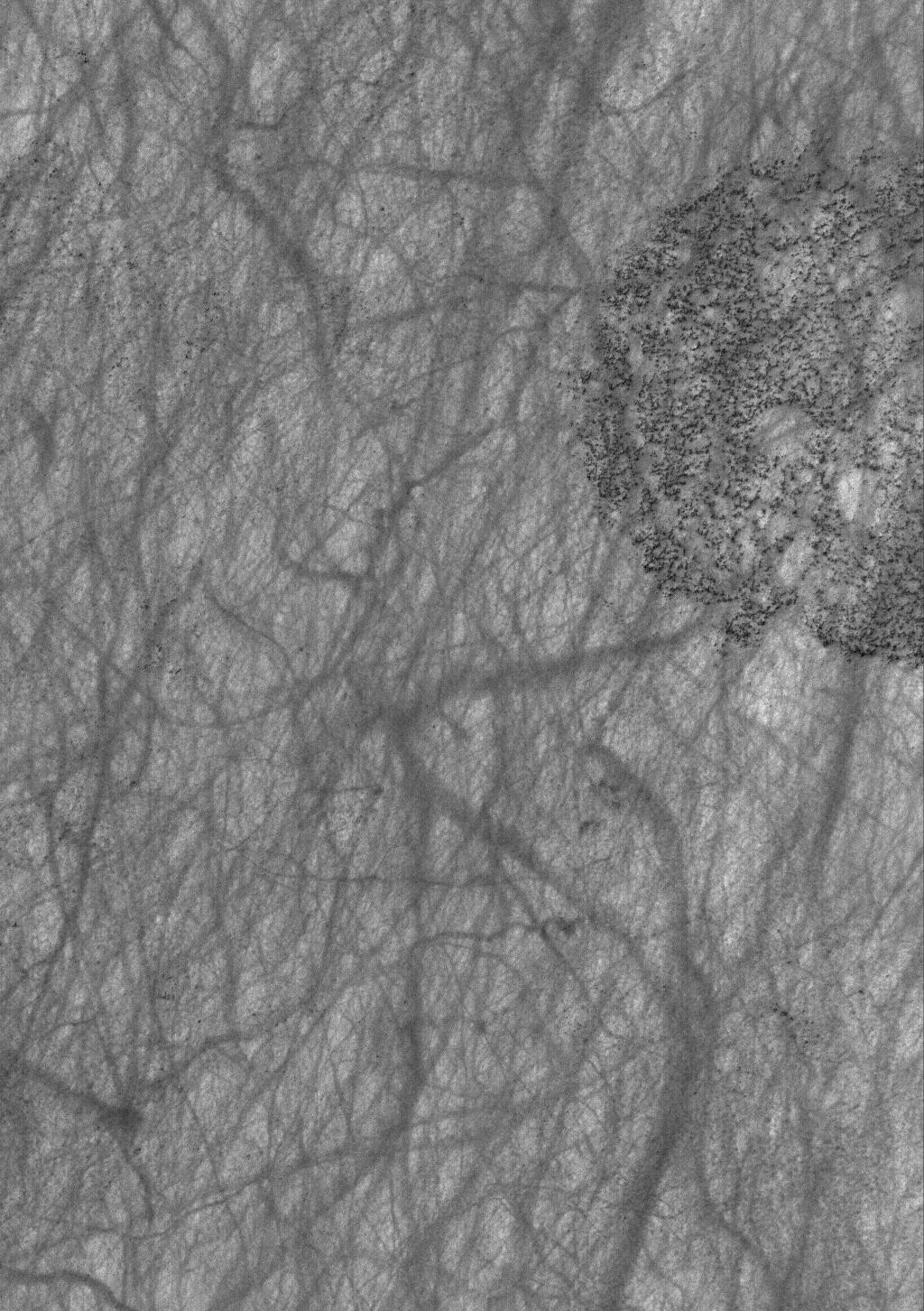
PIA03547:
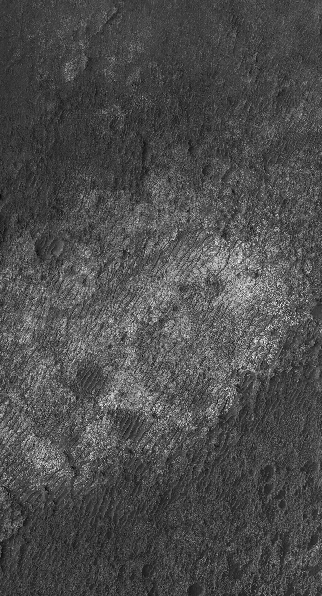
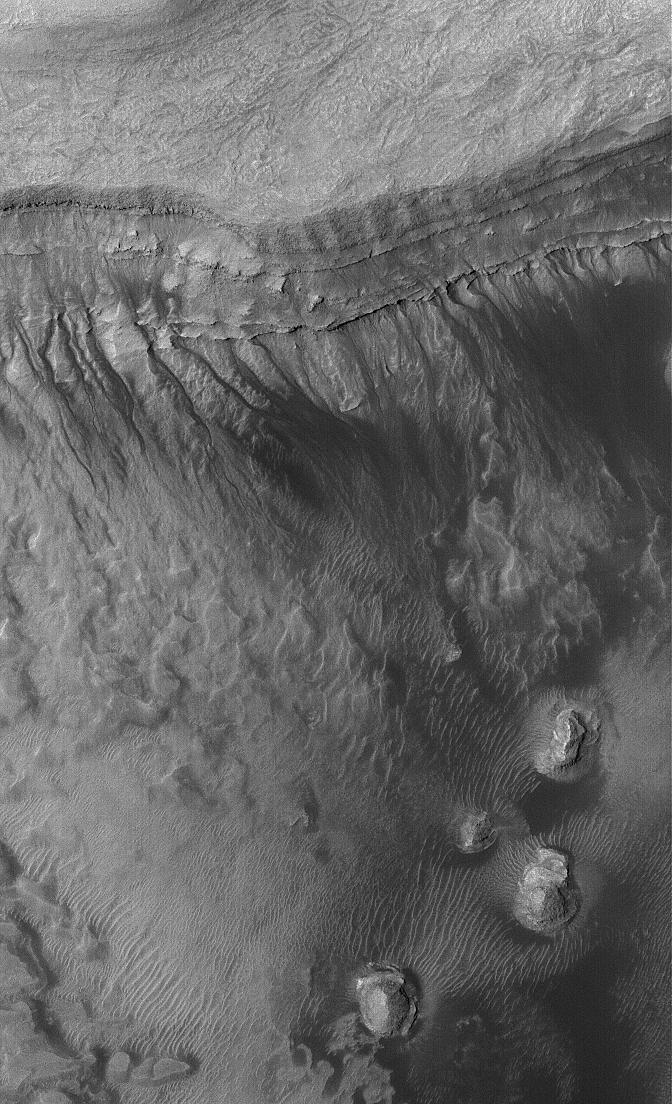
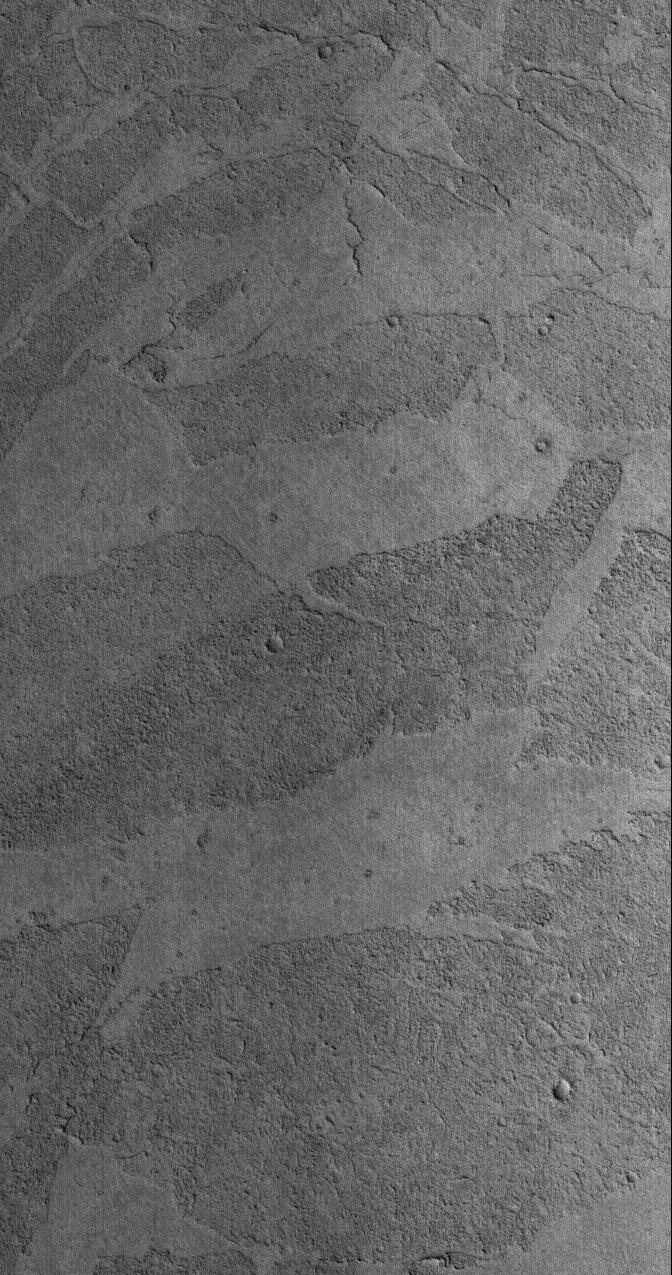
Dust-covered Flow
Full Resolution:
TIFF
(1.619 MB)
JPEG
(239.4 kB)
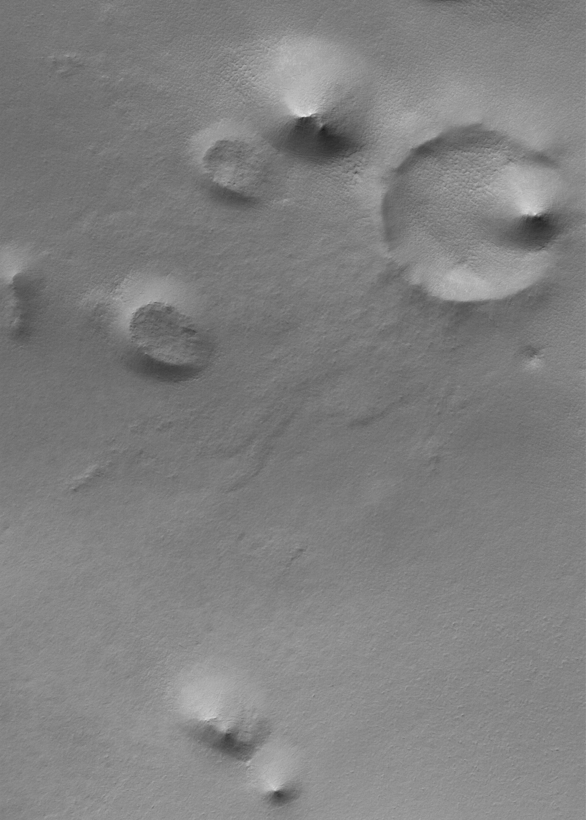
2005-11-18
Mars
Mars Global Surveyor (MGS)
Mars Orbiter Camera (MOC)
836x3390x1
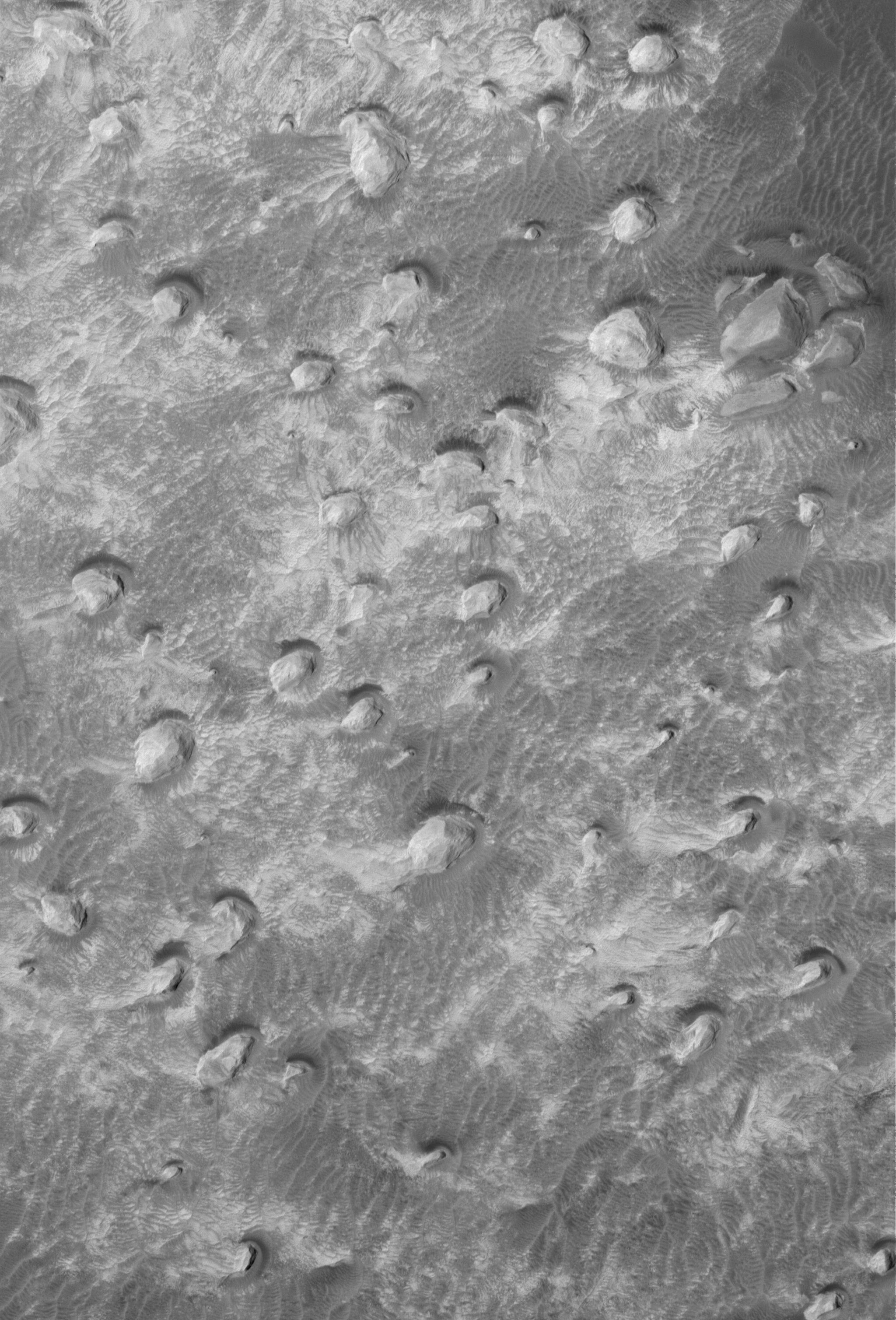
PIA03584:
Landslide in Mutch
Full Resolution:
TIFF
(2.837 MB)
JPEG
(330.9 kB)
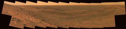
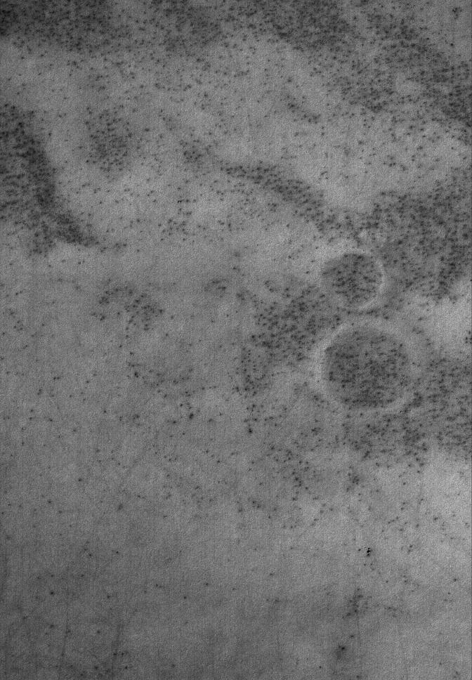
2005-11-21
Mars
Mars Exploration Rover (MER)
Panoramic Camera
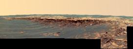
9805x2290x3
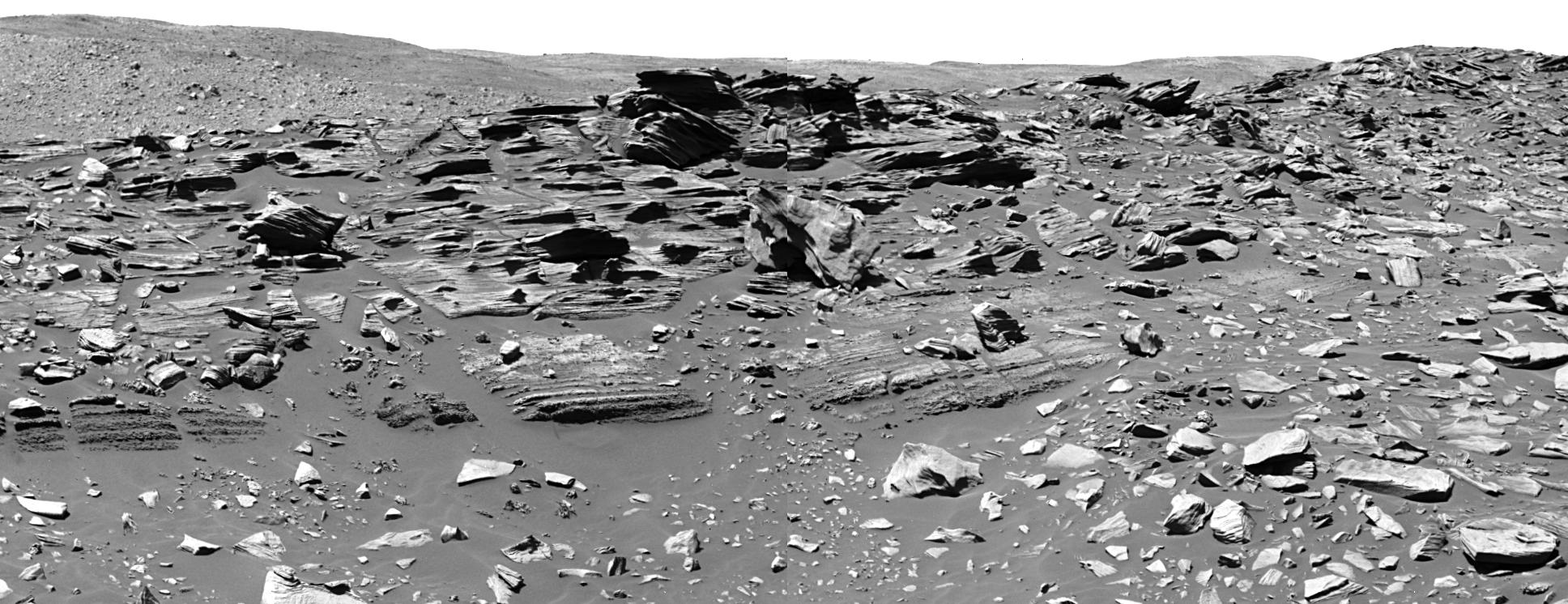
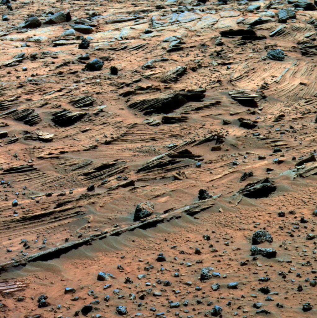
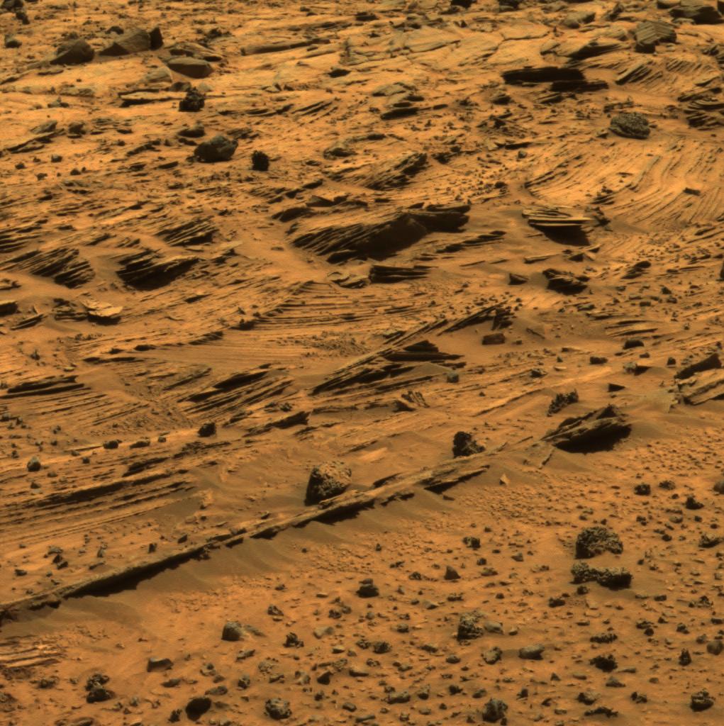
PIA03233:
'East Basin' Panorama
Full Resolution:
TIFF
(67.36 MB)
JPEG
(2.49 MB)
QTVR
(2.787 MB)
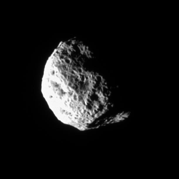
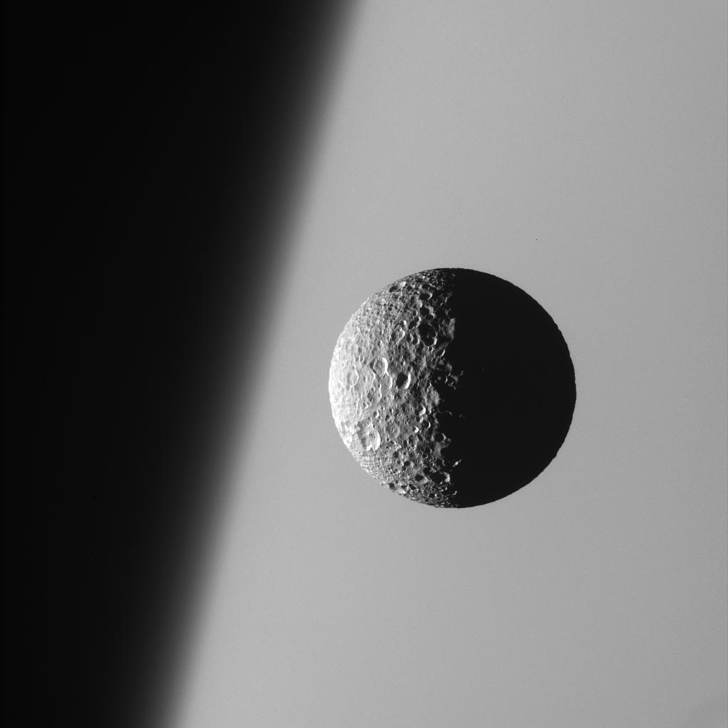
2005-11-25
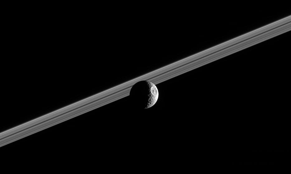
Mimas
Cassini-Huygens
ISS - Narrow Angle
934x558x1
PIA07639:
Herschel Sees the Sun
Full Resolution:
TIFF
(522 kB)
JPEG
(17.16 kB)
2005-11-28
Tempel 1
Deep Impact
Medium Resolution Instrument (MRI)
2608x1950x3
PIA02144:
Tempel 1 Mission Update
Full Resolution:
TIFF
(15.27 MB)
JPEG
(225.4 kB)
2005-11-30
Mars
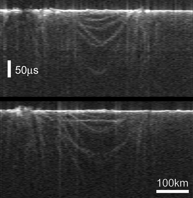
Mars Express (MEX)
MARSIS
769x786x1
PIA03236:
Radargrams of Buried Basin from Two Adjacent Orbits
Full Resolution:
TIFF
(605.3 kB)
JPEG
(79.49 kB)
2005-11-30
Mars
Mars Express (MEX)
Mars Global Surveyor (MGS)
Mars Advanced Radar for Subsurface and Ionospheric Sounding (MARSIS)
Mars Orbiter Laser Altimeter
788x683x3
PIA03237:
Topographic Map of Chryse Planitia with Location of Possible Buried Basin
Full Resolution:
TIFF
(1.617 MB)
JPEG
(106.2 kB)
2005-11-30
Mars
Mars Global Surveyor (MGS)
Mars Orbiter Camera (MOC)
672x2076x1
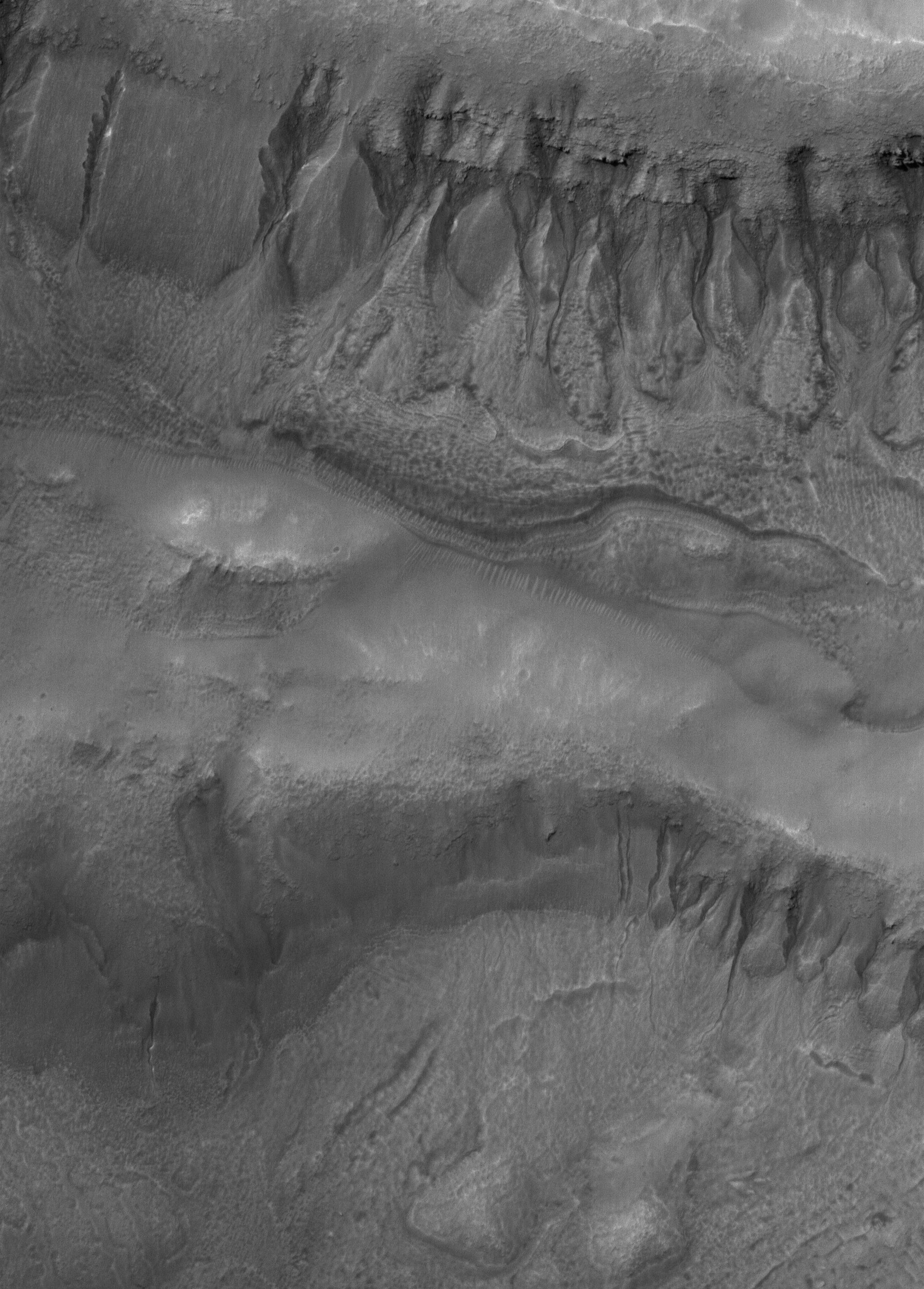
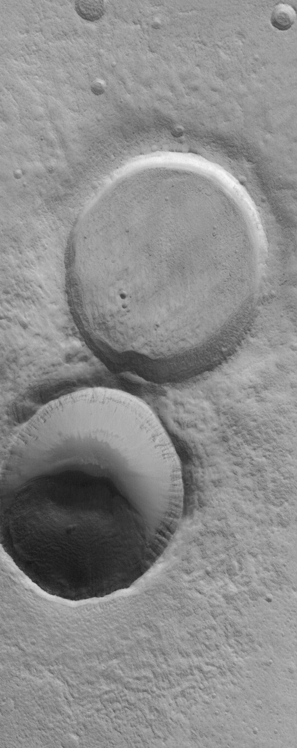
PIA03572:
Crater Interior
Full Resolution:
TIFF
(1.397 MB)
JPEG
(345.6 kB)
2005-12-05
Mars
Mars Global Surveyor (MGS)
Mars Orbiter Camera (MOC)
672x1764x1
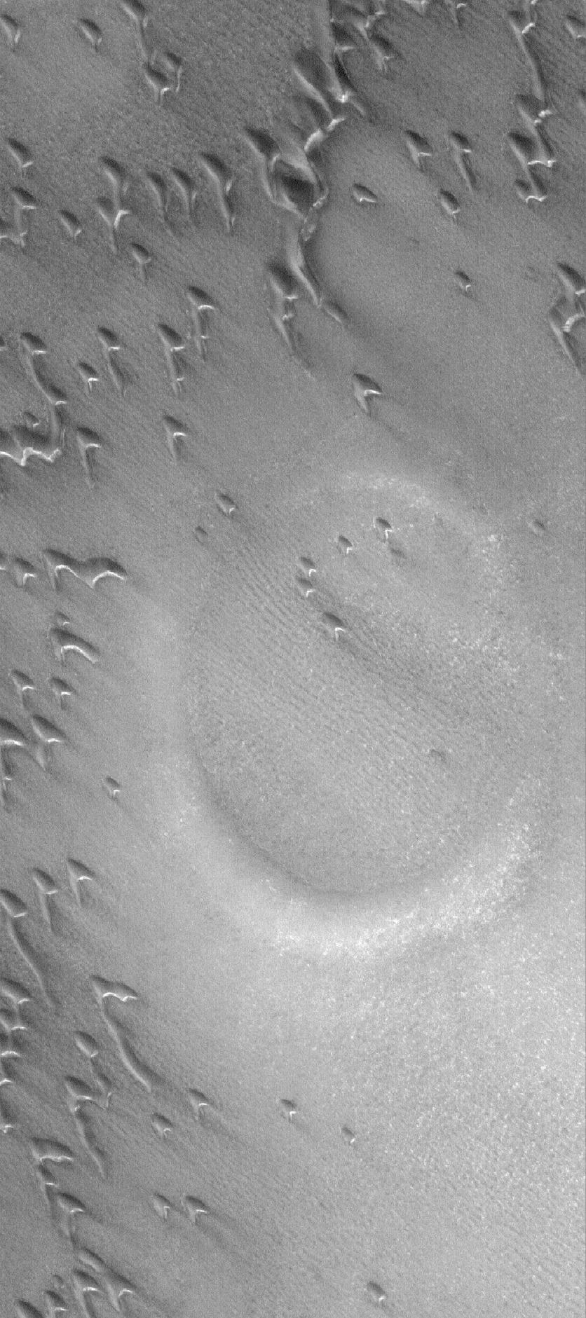
PIA03619:
Gullied Crater
Full Resolution:
TIFF
(1.187 MB)
JPEG
(278.7 kB)
2005-12-05
Mars
Mars Exploration Rover (MER)
Panoramic Camera
1024x1024x1
PIA03613:
Meteor Search by Spirit, Sol 643
Full Resolution:
TIFF
(1.05 MB)
JPEG
(329.8 kB)
2005-12-05
Mars
Mars Exploration Rover (MER)
Panoramic Camera
1024x1024x1
PIA03615:
Meteor Search by Spirit, Sol 668
Full Resolution:
TIFF
(1.05 MB)
JPEG
(308.9 kB)
2005-12-06
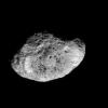
Hyperion
Cassini-Huygens
Imaging Science Subsystem
647x648x1
PIA07742:
Flight to Hyperion
Full Resolution:
TIFF
(419.9 kB)
JPEG
(22.25 kB)
2005-12-06
Hyperion
Cassini-Huygens
ISS - Narrow Angle
1800x2115x1
PIA07761:
Cosmic Blasting Zone
Full Resolution:
TIFF
(3.811 MB)
JPEG
(265.8 kB)
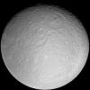
2005-12-06
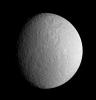
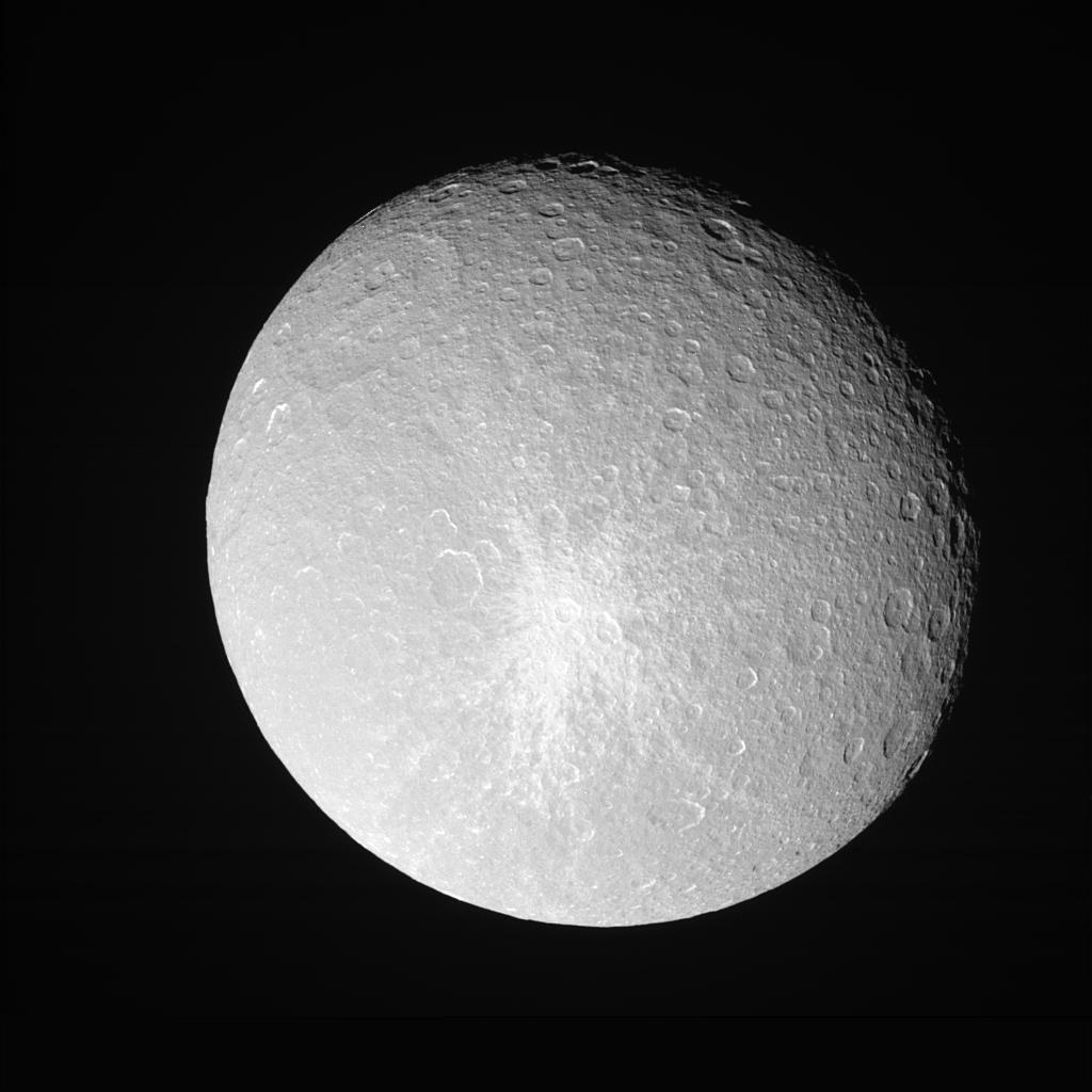
Rhea
Cassini-Huygens
ISS - Narrow Angle
4500x4500x1
PIA07763:
Rhea: Full Moon
Full Resolution:
TIFF
(20.29 MB)
JPEG
(2.354 MB)
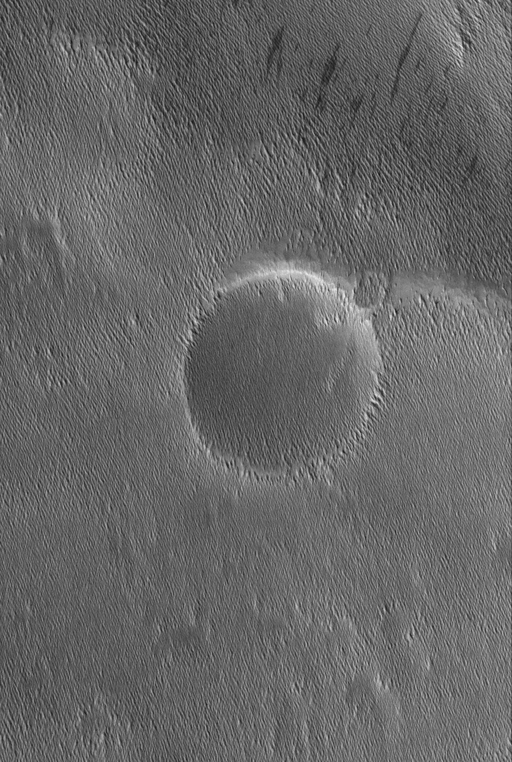
2005-12-06
Rhea
Cassini-Huygens
ISS - Wide Angle
1020x1020x1
PIA07764:
Catch that Crater
Full Resolution:
TIFF
(1.042 MB)
JPEG
(196.2 kB)
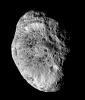
2005-12-06
Iapetus
Cassini-Huygens
ISS - Narrow Angle
618x605x3
PIA07766:
Iapetus Spins and Tilts
Full Resolution:
TIFF
(1.123 MB)
JPEG
(18.87 kB)
2005-12-06
Saturn
Cassini-Huygens
Imaging Science Subsystem
1899x1740x3
PIA07767:
Season of Moons
Full Resolution:
TIFF
(9.927 MB)
JPEG
(405.2 kB)
2005-12-06
Hyperion
Cassini-Huygens
Imaging Science Subsystem
1016x1010x3
PIA07768:
Color Variation on Hyperion
Full Resolution:
TIFF
(3.083 MB)
JPEG
(99.29 kB)
2005-12-11
Mars
Mars Global Surveyor (MGS)
Mars Orbiter Camera (MOC)
672x1608x1
PIA03630:
West Candor Rocks
Full Resolution:
TIFF
(1.082 MB)
JPEG
(347.6 kB)
2005-12-12
Mars
Mars Global Surveyor (MGS)
Mars Orbiter Camera (MOC)
672x1934x1
PIA03631:
Banded Argyre
Full Resolution:
TIFF
(1.301 MB)
JPEG
(213.6 kB)
2005-12-13
S Rings
Cassini-Huygens
ISS - Narrow Angle
668x726x1
PIA07651:
On the Edge
Full Resolution:
TIFF
(485.7 kB)
JPEG
(14.52 kB)
2005-12-13
Mars
Mars Global Surveyor (MGS)
Mars Orbiter Camera (MOC)
640x640x3
PIA03639:
Mars at Ls 341�: Acidalia/Mare Erythraeum
Full Resolution:
TIFF
(411.8 kB)
JPEG
(22.49 kB)
2005-12-19
Mars
Mars Global Surveyor (MGS)
Mars Orbiter Camera (MOC)
1024x1896x1
PIA03651:
Double Impact
Full Resolution:
TIFF
(1.944 MB)
JPEG
(677.2 kB)
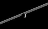
2005-12-23
S Rings
Cassini-Huygens
ISS - Narrow Angle
516x704x1
PIA07659:
Children of Saturn
Full Resolution:
TIFF
(363.9 kB)
JPEG
(7.217 kB)
2005-12-23
Mars
Mars Global Surveyor (MGS)
Mars Orbiter Camera (MOC)
2048x4608x1
PIA03259:
Outcrops in Aram
Full Resolution:
TIFF
(9.447 MB)
JPEG
(1.937 MB)
2005-12-24
Mars
Mars Global Surveyor (MGS)
Mars Orbiter Camera (MOC)
1024x1784x1
PIA03260:
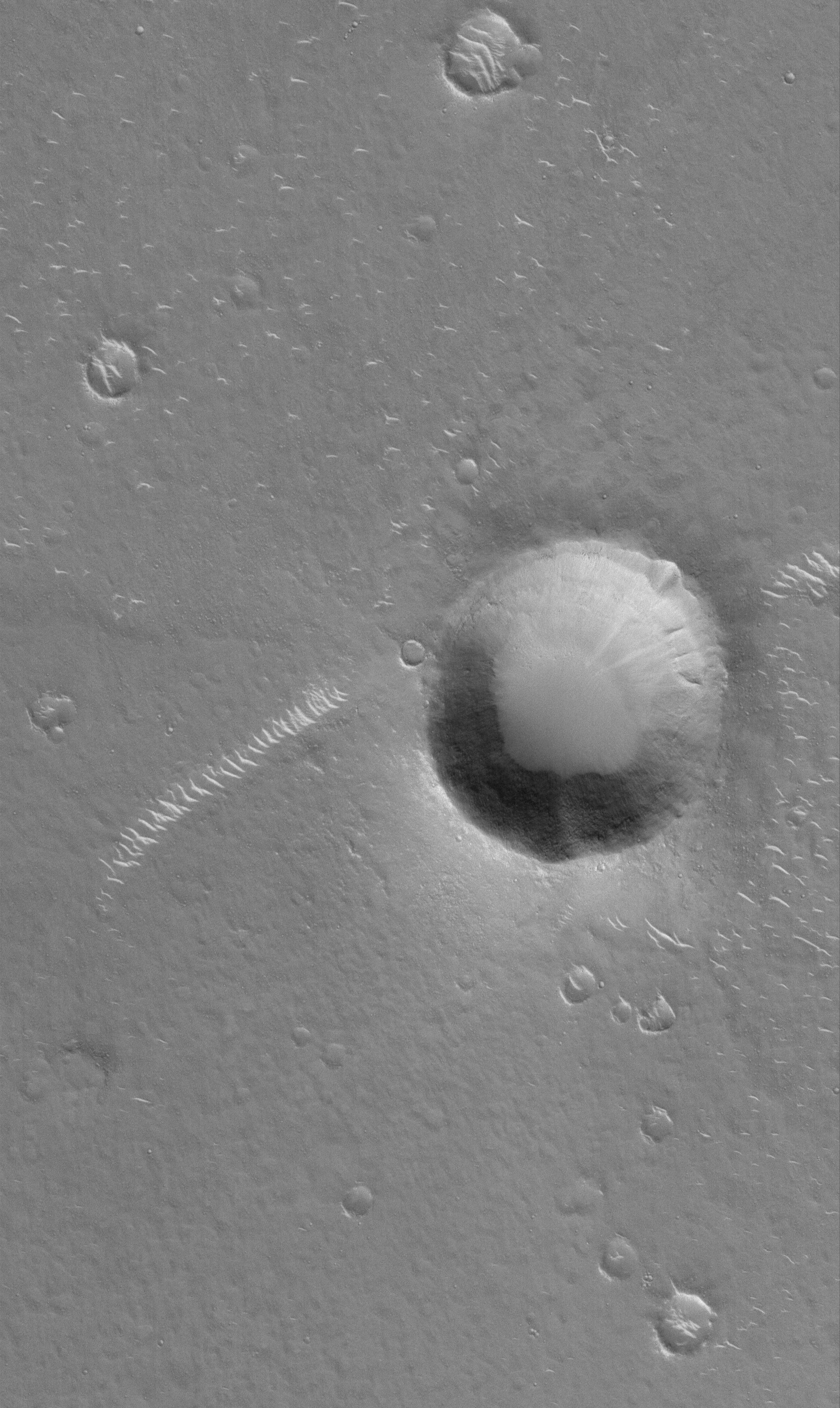
Lonely Crater
Full Resolution:
TIFF
(1.829 MB)
JPEG
(201.6 kB)
2005-12-26
Mars
Mars Global Surveyor (MGS)
Mars Orbiter Camera (MOC)
512x1048x1
PIA03262:
Buried Craters
Full Resolution:
TIFF
(537.3 kB)
JPEG
(204.3 kB)
2006-01-01
Mars
Mars Global Surveyor (MGS)
Mars Orbiter Camera (MOC)
1024x1895x1
PIA03268:
Light-toned Rock
Full Resolution:
TIFF
(1.943 MB)
JPEG
(488.4 kB)
2006-01-07
Mars
Mars Global Surveyor (MGS)
Mars Orbiter Camera (MOC)
1024x1664x1
PIA03655:
Secondaries near Cerberus
Full Resolution:
TIFF
(1.706 MB)
JPEG
(499.3 kB)
2006-01-16
Mars
Mars Global Surveyor (MGS)
Mars Orbiter Camera (MOC)
2048x3432x1
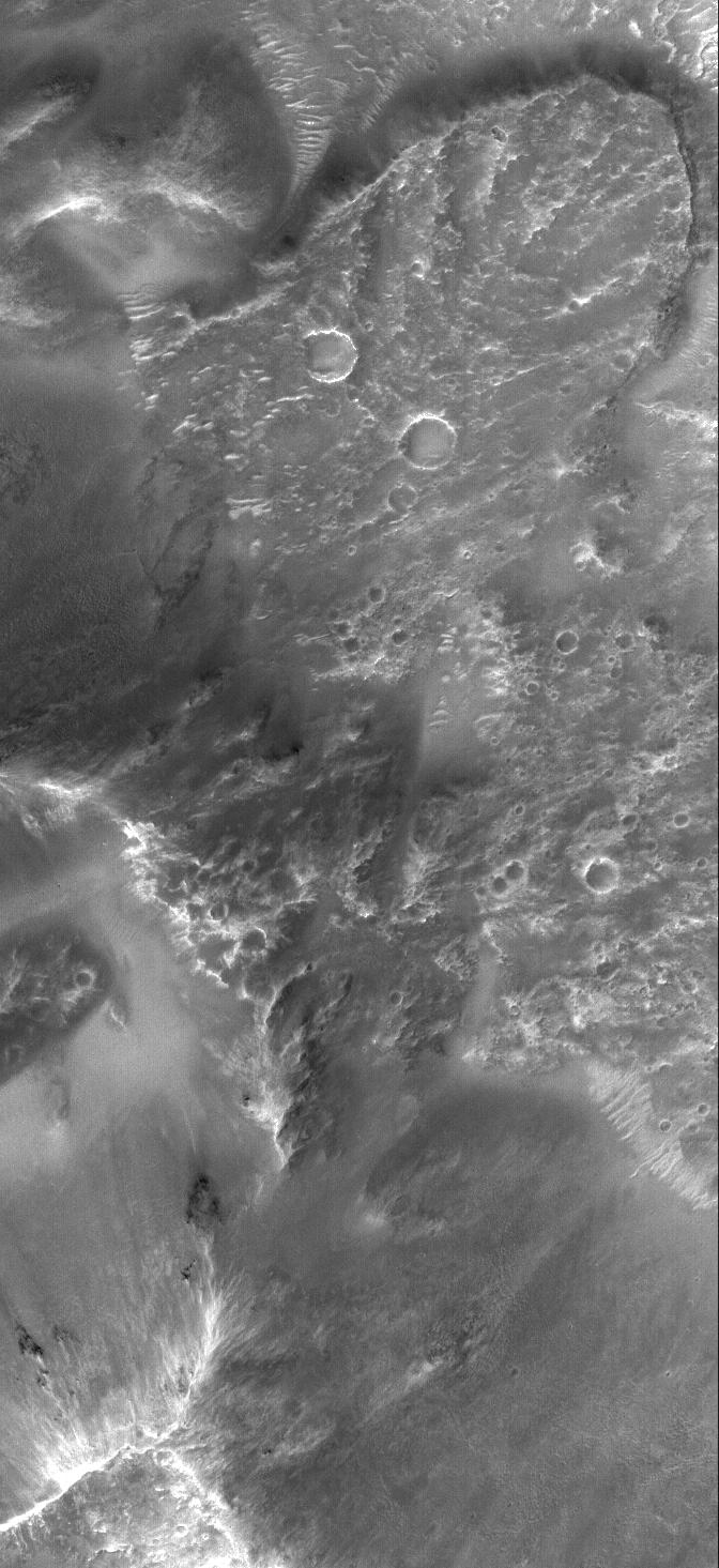
PIA03674:
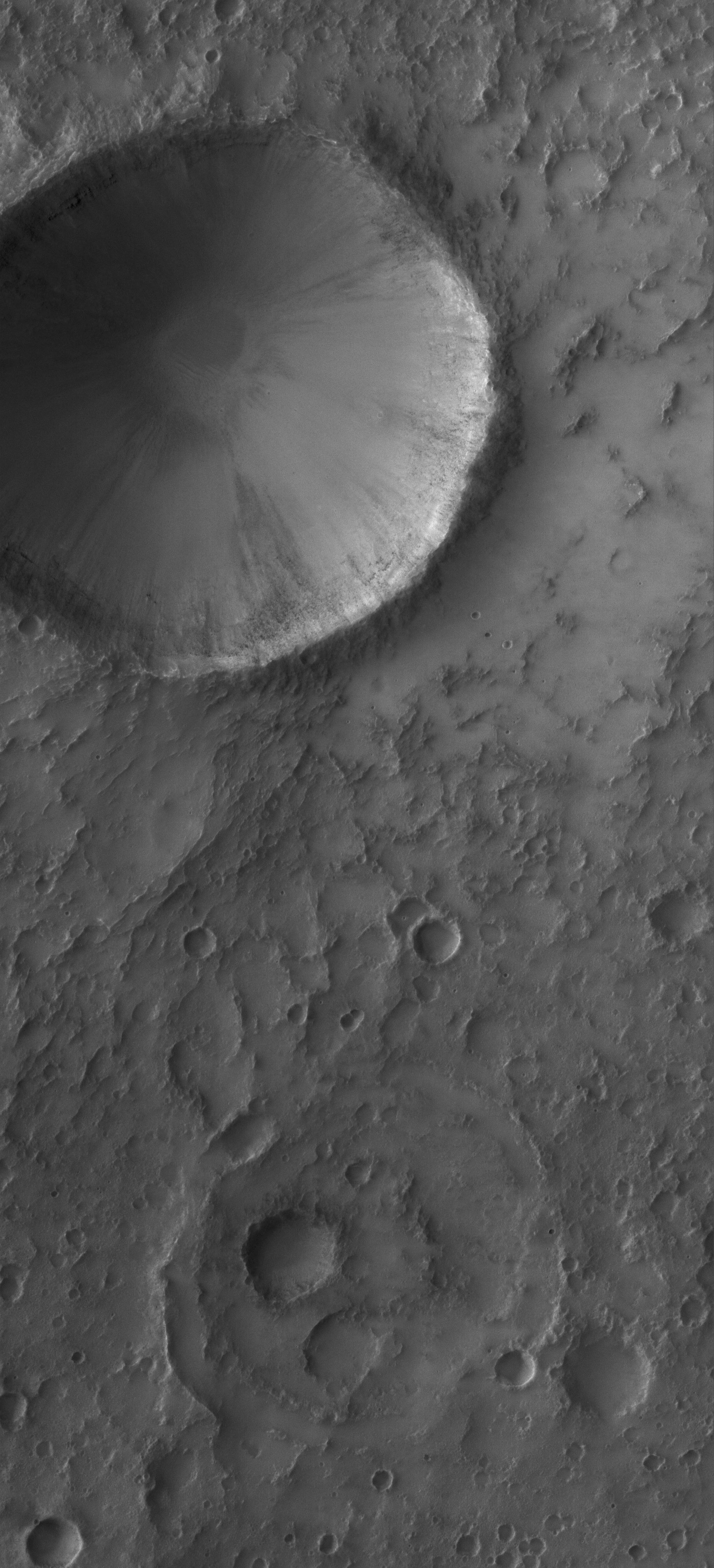
Impact Crater
Full Resolution:
TIFF
(7.036 MB)
JPEG
(1.063 MB)
2006-01-20
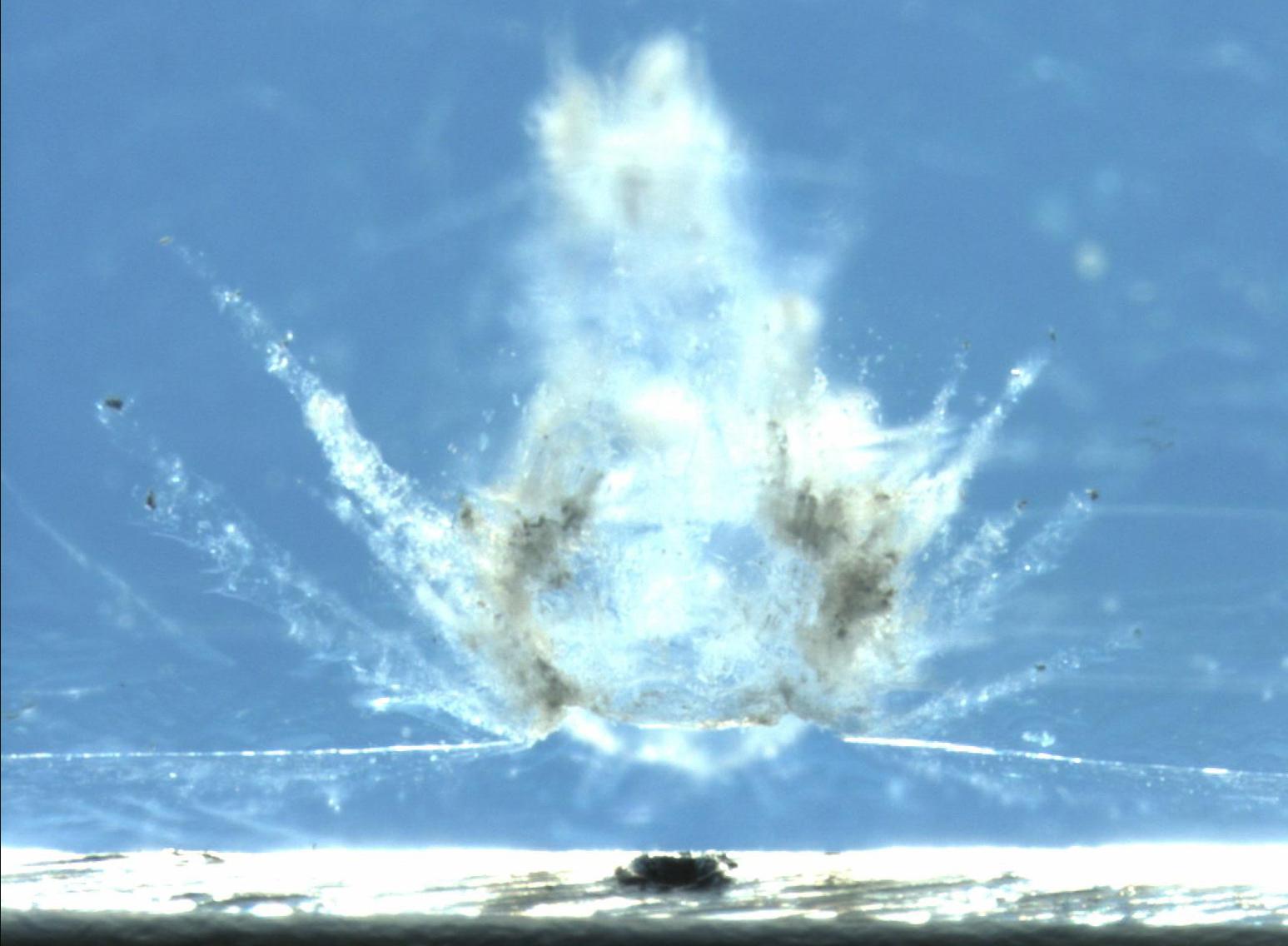
Stardust
3072x2048x3
PIA03683:
View of a Cometary Impact Into Aerogel
Full Resolution:
TIFF
(18.87 MB)
JPEG
(568.2 kB)
2006-01-24
Mars
Mars Global Surveyor (MGS)
Mars Exploration Rover (MER)
Mars Orbiter Camera (MOC)
1442x4116x3
PIA03691:
2 Years on Mars! Meridiani Planum Features Investigated by the Rover, Opportunity
Full Resolution:
TIFF
(17.84 MB)
JPEG
(981 kB)
2006-01-26
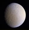
Rhea
Cassini-Huygens
ISS - Narrow Angle
942x981x1
PIA07685:
Pulverized Pulchritude (Monochrome)
Full Resolution:
TIFF
(925.3 kB)
JPEG
(70.72 kB)
2006-01-26
Rhea
Cassini-Huygens
ISS - Narrow Angle
872x902x3
PIA07686:
Pulverized Pulchritude (Enhanced Color)
Full Resolution:
TIFF
(2.362 MB)
JPEG
(93.52 kB)
2006-01-26
Mars
Mars Global Surveyor (MGS)
Mars Orbiter Camera (MOC)
1024x2220x1
PIA03697:
Secondary Field
Full Resolution:
TIFF
(2.276 MB)
JPEG
(623.9 kB)
2006-01-28
Mars
Mars Global Surveyor (MGS)
Mars Orbiter Camera (MOC)
2048x2865x1
PIA06103:
South Polar Hills
Full Resolution:
TIFF
(5.873 MB)
JPEG
(718.7 kB)
2006-01-29
Mars
Mars Global Surveyor (MGS)
Mars Orbiter Camera (MOC)
672x968x1
PIA06104:
Number 8
Full Resolution:
TIFF
(651.4 kB)
JPEG
(130.7 kB)
2006-02-02
Tethys
Cassini-Huygens
ISS - Narrow Angle
1220x798x1
PIA07693:
The Great Basin
Full Resolution:
TIFF
(974.9 kB)
JPEG
(95.57 kB)
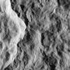
2006-02-03
Hyperion
Cassini-Huygens
ISS - Narrow Angle
600x600x3
PIA07683:
Rough and Tumble Hyperion (Movie)
Full Resolution:
TIFF
(372.7 kB)
JPEG
(14.9 kB)
2006-02-03
Hyperion
Cassini-Huygens
ISS - Narrow Angle
610x610x1
PIA07684:
Rough and Tumble Hyperion (Still)
Full Resolution:
TIFF
(372.7 kB)
JPEG
(14.9 kB)
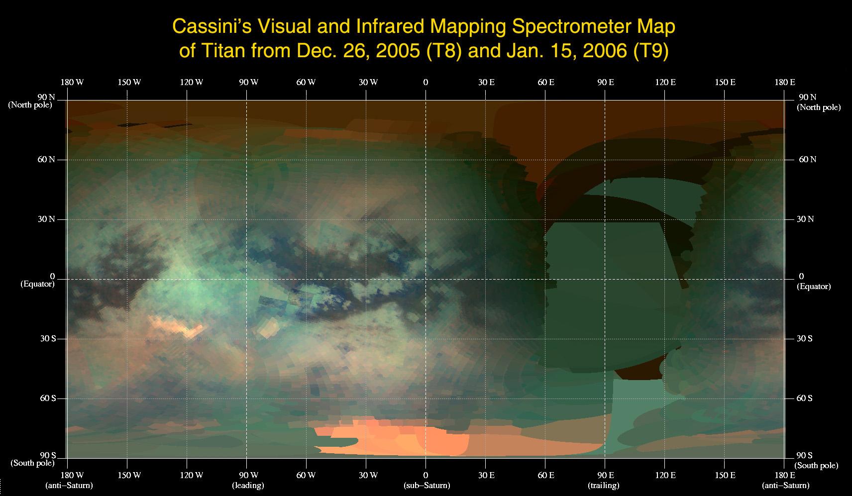
2006-02-10
Titan
Cassini-Huygens
Visual and Infrared Mapping Spectrometer
1712x997x3
PIA02147:
An Infrared Map of Titan
Full Resolution:
TIFF
(5.129 MB)
JPEG
(182.7 kB)
2006-02-13
Mars
Mars Global Surveyor (MGS)
Mars Orbiter Camera (MOC)
672x1366x1
PIA02178:
Chryse Plains
Full Resolution:
TIFF
(919.1 kB)
JPEG
(261.4 kB)
2006-02-17
Tethys
Cassini-Huygens
ISS - Narrow Angle
750x642x1
PIA07705:
Tethys and Titan
Full Resolution:
TIFF
(482.2 kB)
JPEG
(8.808 kB)
2006-02-17
Mars
Mars Global Surveyor (MGS)
Mars Orbiter Camera (MOC)
836x1698x1
PIA02184:
Isidis Plains
Full Resolution:
TIFF
(1.421 MB)
JPEG
(237.6 kB)
2006-02-17
Mars
Mars Exploration Rover (MER)
Panoramic Camera
1936x746x1
PIA02187:
Spirit Hits a Home Run
Full Resolution:
TIFF
(1.446 MB)
JPEG
(298.5 kB)
2006-02-19
Mars
Mars Global Surveyor (MGS)
Mars Orbiter Camera (MOC)
672x1008x1
PIA02193:
Devil-Streaked Plain
Full Resolution:
TIFF
(678.3 kB)
JPEG
(135.2 kB)
2006-02-21
Stardust
1547x1136x3
PIA02191:
Comet Ejecta in Aerogel
Full Resolution:
TIFF
(5.282 MB)
JPEG
(117.3 kB)
2006-02-23
Mars
Mars Global Surveyor (MGS)
Mars Orbiter Camera (MOC)
1024x2848x1
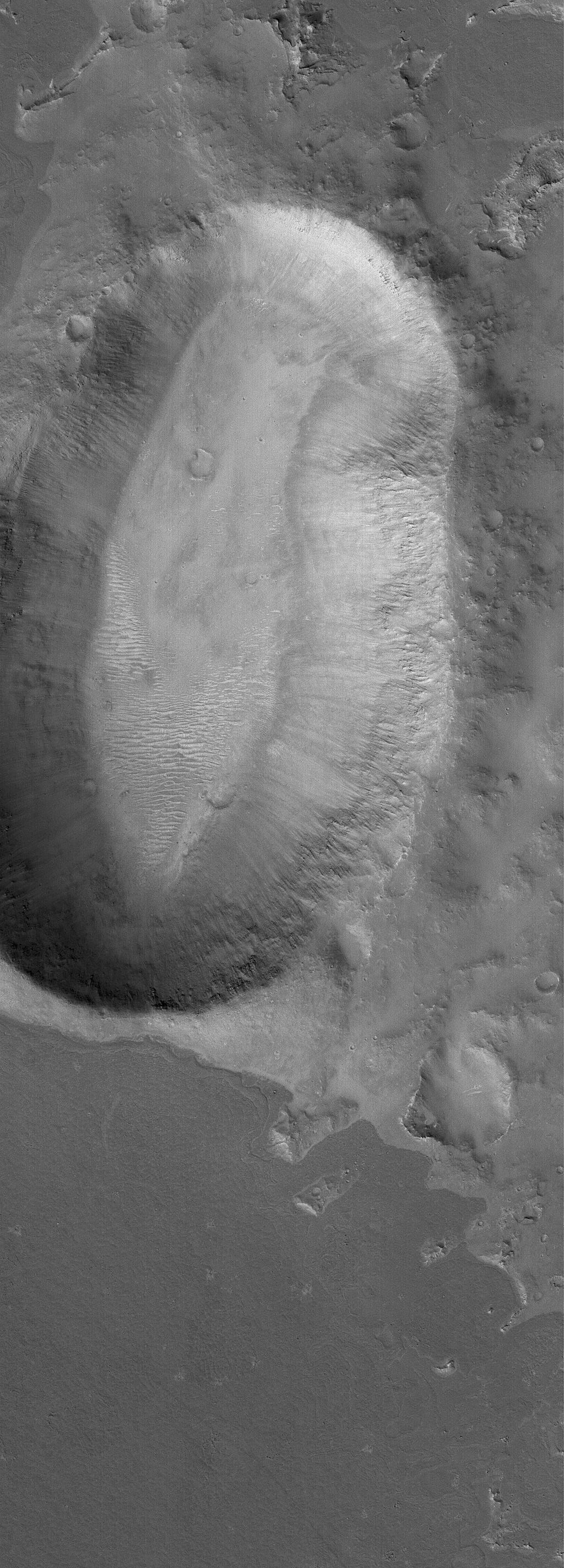
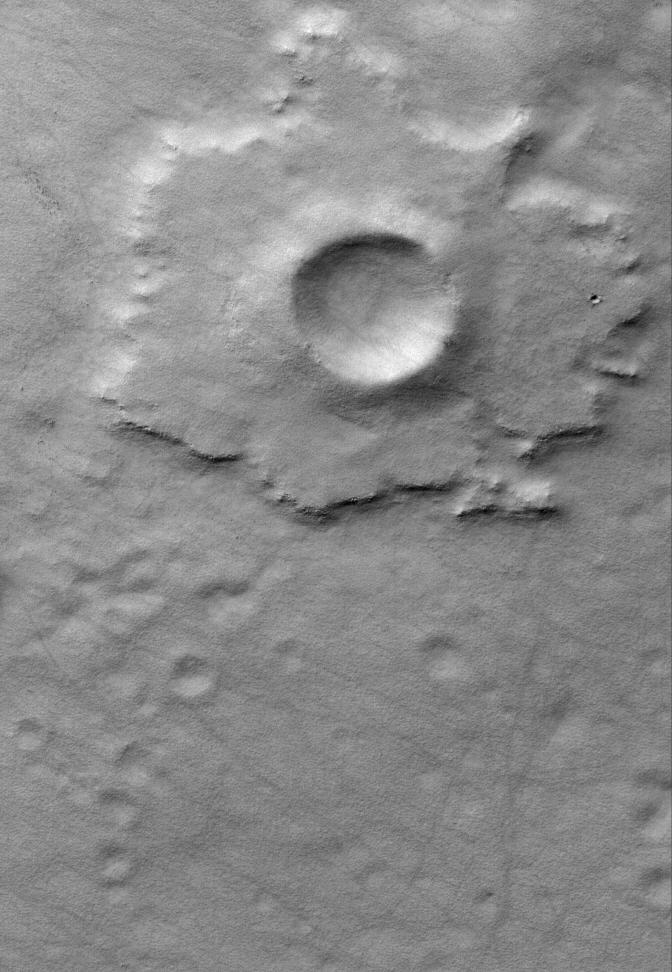
PIA02199:
Kidney-Shaped Impact
Full Resolution:
TIFF
(2.919 MB)
JPEG
(530.2 kB)
2006-02-23
Mars
2001 Mars Odyssey
THEMIS
617x1444x1
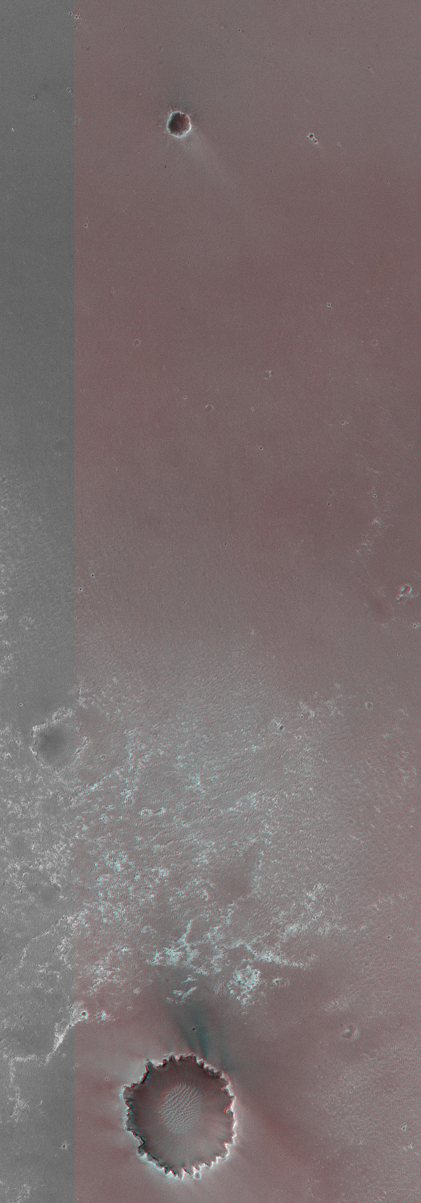
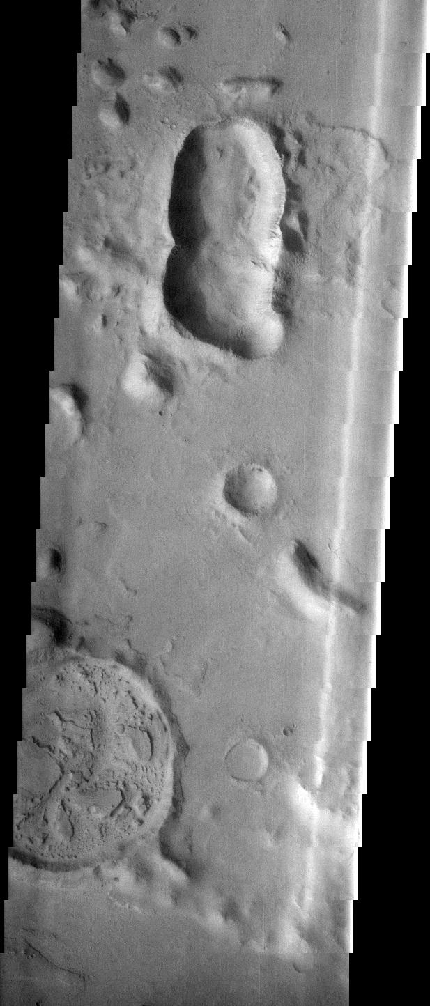
PIA02298:
Crater Variety
Full Resolution:
TIFF
(892.1 kB)
JPEG
(117.2 kB)
2006-02-26
Mars
Mars Global Surveyor (MGS)
Mars Orbiter Camera (MOC)
672x1104x1
PIA02295:
Gullied Depression
Full Resolution:
TIFF
(742.9 kB)
JPEG
(162 kB)
2006-03-02
Mars
Mars Global Surveyor (MGS)
Mars Orbiter Camera (MOC)
2048x4496x1
PIA02680:
Up Close and Personal
Full Resolution:
TIFF
(9.217 MB)
JPEG
(1.005 MB)
2006-03-07
Mars
Mars Exploration Rover (MER)
Panoramic Camera
5295x1950x3
PIA02695:
'Payson' Panorama in False Color
Full Resolution:
TIFF
(30.98 MB)
JPEG
(1.13 MB)
2006-03-07
Mars
Mars Exploration Rover (MER)
Panoramic Camera
5295x1950x3
PIA02696:
'Payson' Panorama by Opportunity
Full Resolution:
TIFF
(30.98 MB)
JPEG
(854.9 kB)
QTVR
(969.6 kB)
2006-03-09
Mars
Mars Global Surveyor (MGS)
Mars Orbiter Camera (MOC)
1024x1452x1
PIA02887:
Martian Graffiti
Full Resolution:
TIFF
(1.489 MB)
JPEG
(303.4 kB)
2006-03-10
Mars
Mars Global Surveyor (MGS)
Mars Orbiter Camera (MOC)
2048x3016x1
PIA02888:
Remains
Full Resolution:
TIFF
(6.183 MB)
JPEG
(819.5 kB)
2006-03-11
Mars
Mars Global Surveyor (MGS)
Mars Orbiter Camera (MOC)
1024x1812x1
PIA02896:
Craters and Layers
Full Resolution:
TIFF
(1.858 MB)
JPEG
(193.5 kB)
2006-03-15
Mars
Mars Global Surveyor (MGS)
Mars Orbiter Camera (MOC)
2048x2856x1
PIA02919:
Bi-level Gullies
Full Resolution:
TIFF
(5.855 MB)
JPEG
(817.9 kB)
2006-03-19
Mars
Mars Global Surveyor (MGS)
Mars Orbiter Camera (MOC)
836x1881x1
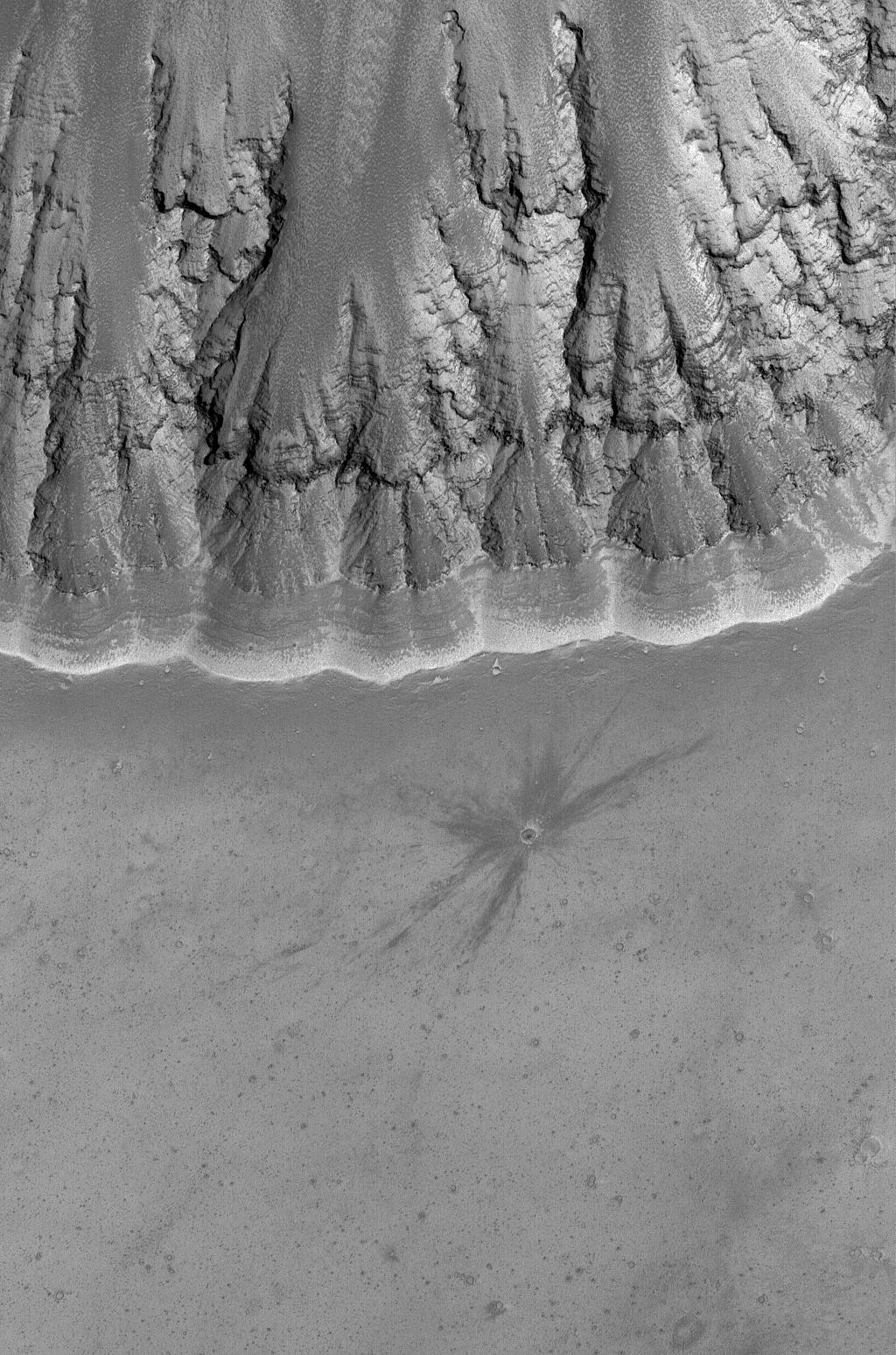
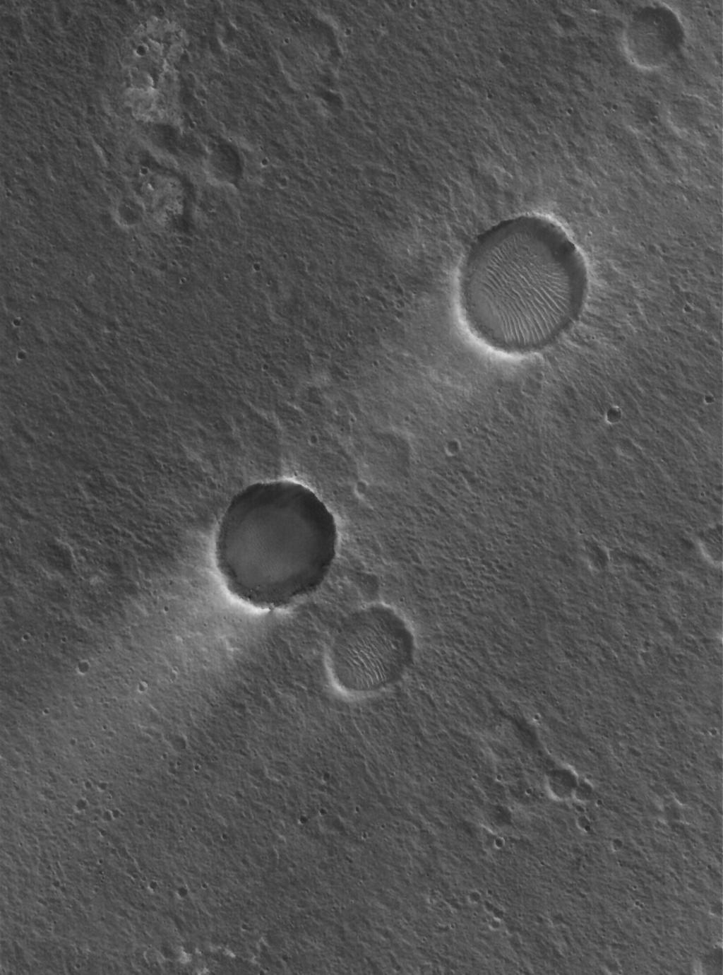
PIA02009:
Northern Impact
Full Resolution:
TIFF
(1.574 MB)
JPEG
(269.4 kB)
2006-03-20
Mars
Mars Global Surveyor (MGS)
Mars Orbiter Camera (MOC)
672x1275x1
PIA02010:
Marte Vallis Textures
Full Resolution:
TIFF
(857.9 kB)
JPEG
(202.7 kB)
2006-03-21
Mars
Mars Exploration Rover (MER)
Panoramic Camera
1021x1024x3
PIA02044:
Spirit Says Goodbye to 'Home Plate' (False Color)
Full Resolution:
TIFF
(3.141 MB)
JPEG
(246.2 kB)
2006-03-21
Mars
Mars Exploration Rover (MER)
Panoramic Camera
1021x1024x3
PIA02055:
Spirit Says Goodbye to 'Home Plate'
Full Resolution:
TIFF
(3.141 MB)
JPEG
(199.8 kB)
2006-03-23
Mars
Mars Global Surveyor (MGS)
Mars Orbiter Camera (MOC)
672x1465x1
PIA08009:
Tyrrhena Tongue
Full Resolution:
TIFF
(985.7 kB)
JPEG
(148 kB)
2006-03-24
Mars
Mars Global Surveyor (MGS)
Mars Orbiter Camera (MOC)
1024x1548x1
PIA08015:
Upland Impact
Full Resolution:
TIFF
(1.587 MB)
JPEG
(335.6 kB)
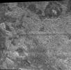
2006-03-24
Mars
Mars Reconnaissance Orbiter (MRO)
HiRISE
20048x9500x1
PIA08014:
Detail of First Mars Image from Newly Arrived Camera
Full Resolution:
TIFF
(190.5 MB)
JPEG
(19.19 MB)
2006-04-01
Mars
Mars Global Surveyor (MGS)
Mars Orbiter Camera (MOC)
1024x1380x1
PIA08028:
Craters and Streaks
Full Resolution:
TIFF
(1.415 MB)
JPEG
(163.4 kB)
2006-04-02
Mars
Mars Global Surveyor (MGS)
Mars Orbiter Camera (MOC)
672x972x1
PIA08029:
Promethei Pedestal
Full Resolution:
TIFF
(654.1 kB)
JPEG
(95.76 kB)
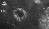
2006-04-04
Tethys
Cassini-Huygens
ISS - Narrow Angle
1024x1024x1
PIA08149:
Penelope Crater
Full Resolution:
TIFF
(1.05 MB)
JPEG
(157.2 kB)
2006-04-07
Mars
Mars Reconnaissance Orbiter (MRO)
HiRISE
20081x5523x1
PIA08047:
Landscape West of Bosporos Rupes
Full Resolution:
TIFF
(110.9 MB)
JPEG
(17.23 MB)
2006-04-07
Mars
Mars Reconnaissance Orbiter (MRO)
HiRISE
20081x5164x1
PIA08048:
Landscape Northeast of Halley Crater
Full Resolution:
TIFF
(103.7 MB)
JPEG
(21.2 MB)
2006-04-07
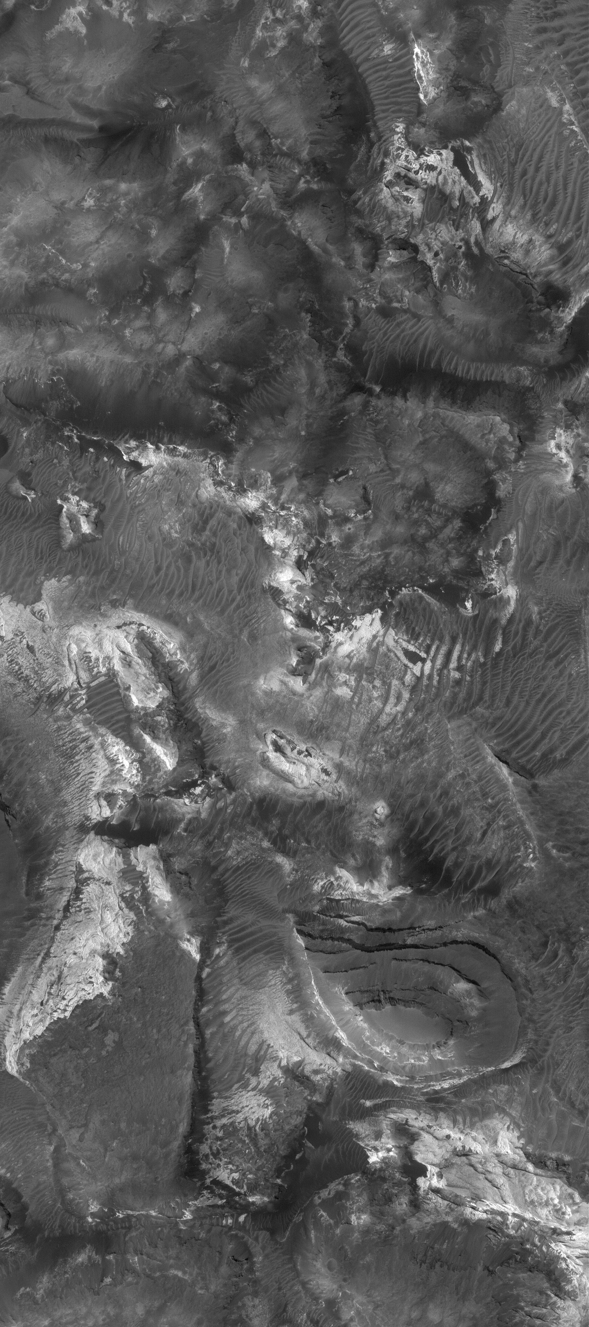
Mars
Mars Reconnaissance Orbiter (MRO)
HiRISE
10040x26011x1
PIA08049:
Sample of the Argyre Impact Basin Rim
Full Resolution:
TIFF
(261.2 MB)
JPEG
(39.48 MB)
2006-04-07
Mars
Mars Reconnaissance Orbiter (MRO)
HiRISE
6045x23024x1
PIA08050:
Sample of Mid-latitude Southern Highlands
Full Resolution:
TIFF
(139.4 MB)
JPEG
(18.22 MB)
2006-04-07
Mars
Mars Reconnaissance Orbiter (MRO)
HiRISE
5017x5634x1
PIA08052:
Twilight Imaging of Kepler Crater Floor
Full Resolution:
TIFF
(28.31 MB)
JPEG
(6.127 MB)
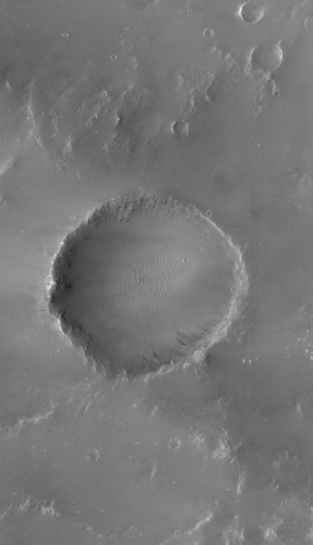
2006-04-07
Mars
Mars Reconnaissance Orbiter (MRO)
HiRISE
3000x2299x3
PIA08054:
Perspective View of HiRISE First Image
Full Resolution:
TIFF
(20.69 MB)
JPEG
(998.3 kB)
2006-04-07
Mars
Mars Reconnaissance Orbiter (MRO)
HiRISE
20081x9523x1
PIA08060:
First HiRISE Image of Mars
Full Resolution:
TIFF
(191.2 MB)
JPEG
(16.72 MB)
2006-04-11
Mars
Mars Exploration Rover (MER)
Panoramic Camera
512x512x3
PIA08063:
'Home Plate' Evidence for an Explosive Past
Full Resolution:
TIFF
(787.5 kB)
JPEG
(38.55 kB)
2006-04-11
Mars
Mars Exploration Rover (MER)
Panoramic Camera
512x512x3
PIA08064:
Coarse Layering at 'Home Plate'
Full Resolution:
TIFF
(787.5 kB)
JPEG
(40.67 kB)
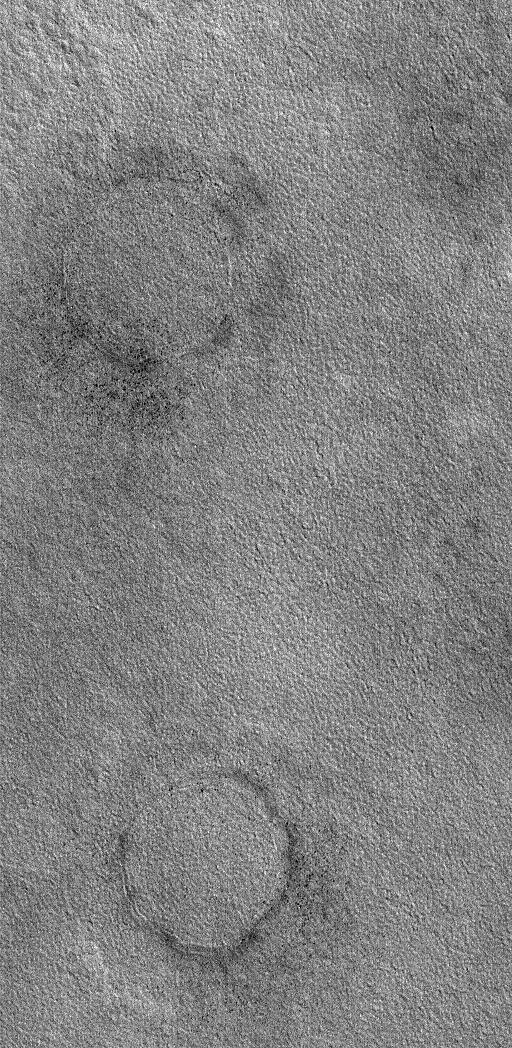
2006-04-13
Mars
Mars Global Surveyor (MGS)
Mars Reconnaissance Orbiter (MRO)
CTX
Mars Orbiter Camera
5056x5222x1
PIA08068:
First Context Camera Image of Mars
Full Resolution:
TIFF
(26.44 MB)
JPEG
(1.394 MB)
2006-04-14
Mars
Mars Global Surveyor (MGS)
Mars Orbiter Camera (MOC)
2048x2792x1
PIA08074:
Broken, Tilted Rocks
Full Resolution:
TIFF
(5.724 MB)
JPEG
(551.3 kB)
2006-04-14
Mars
2001 Mars Odyssey
THEMIS
1363x2943x1
PIA08075:
Honeycomb Ridges
Full Resolution:
TIFF
(4.015 MB)
JPEG
(486 kB)
2006-04-16
Mars
Mars Global Surveyor (MGS)
Mars Orbiter Camera (MOC)
672x1727x1
PIA08077:
Out of Steam
Full Resolution:
TIFF
(1.162 MB)
JPEG
(194.8 kB)
2006-04-21
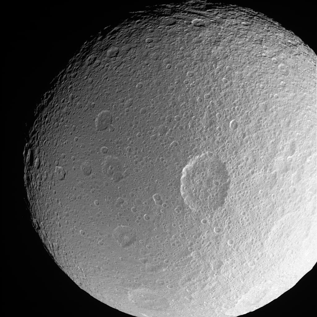
Rhea
Cassini-Huygens
ISS - Narrow Angle
1024x1024x1
PIA08148:
Revisiting the Splat
Full Resolution:
TIFF
(1.05 MB)
JPEG
(81.55 kB)
2006-04-23
Mars
Mars Global Surveyor (MGS)
Mars Orbiter Camera (MOC)
1024x1523x1
PIA08090:
Memnonia Texture
Full Resolution:
TIFF
(1.561 MB)
JPEG
(373.5 kB)
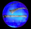
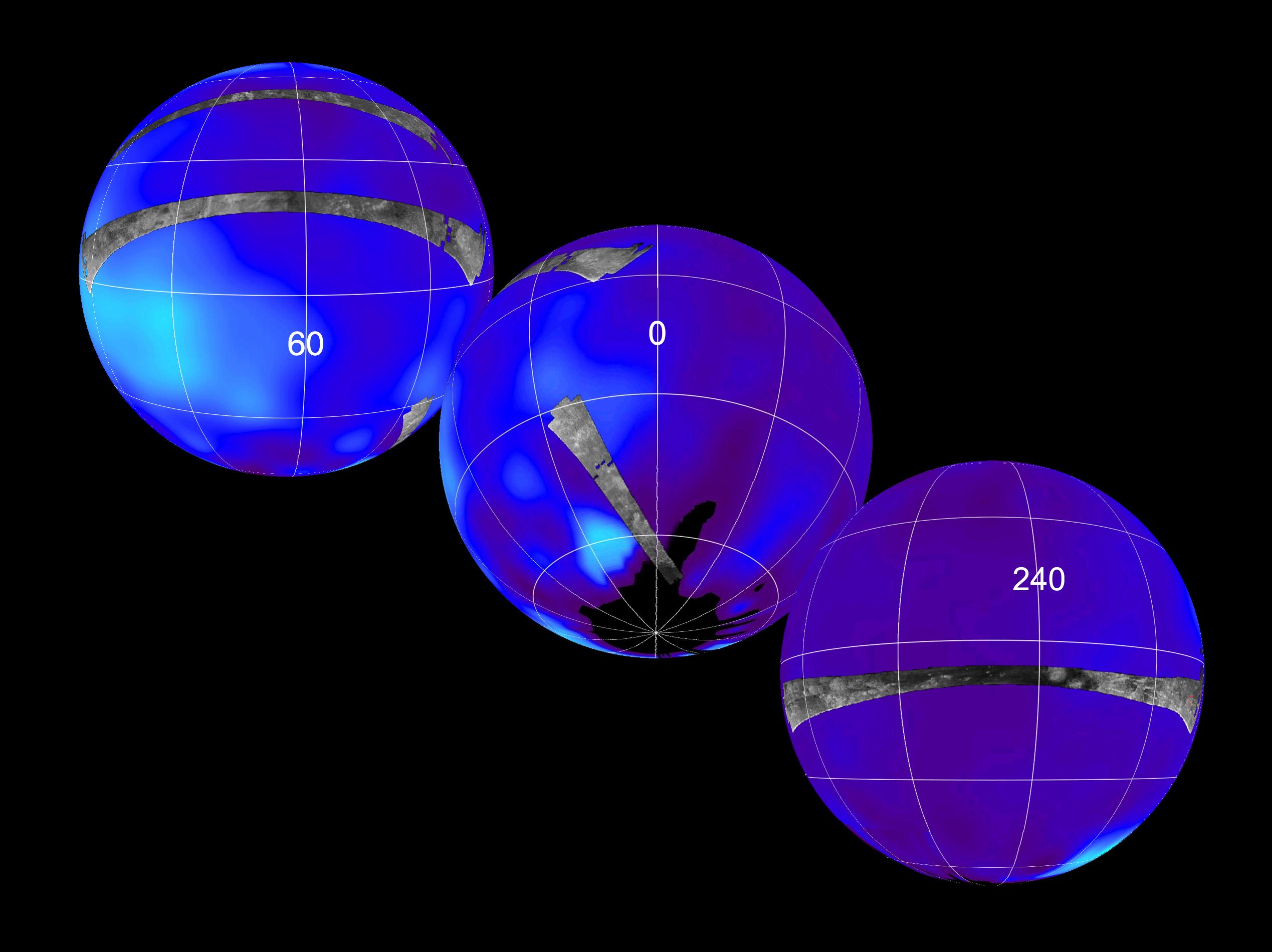
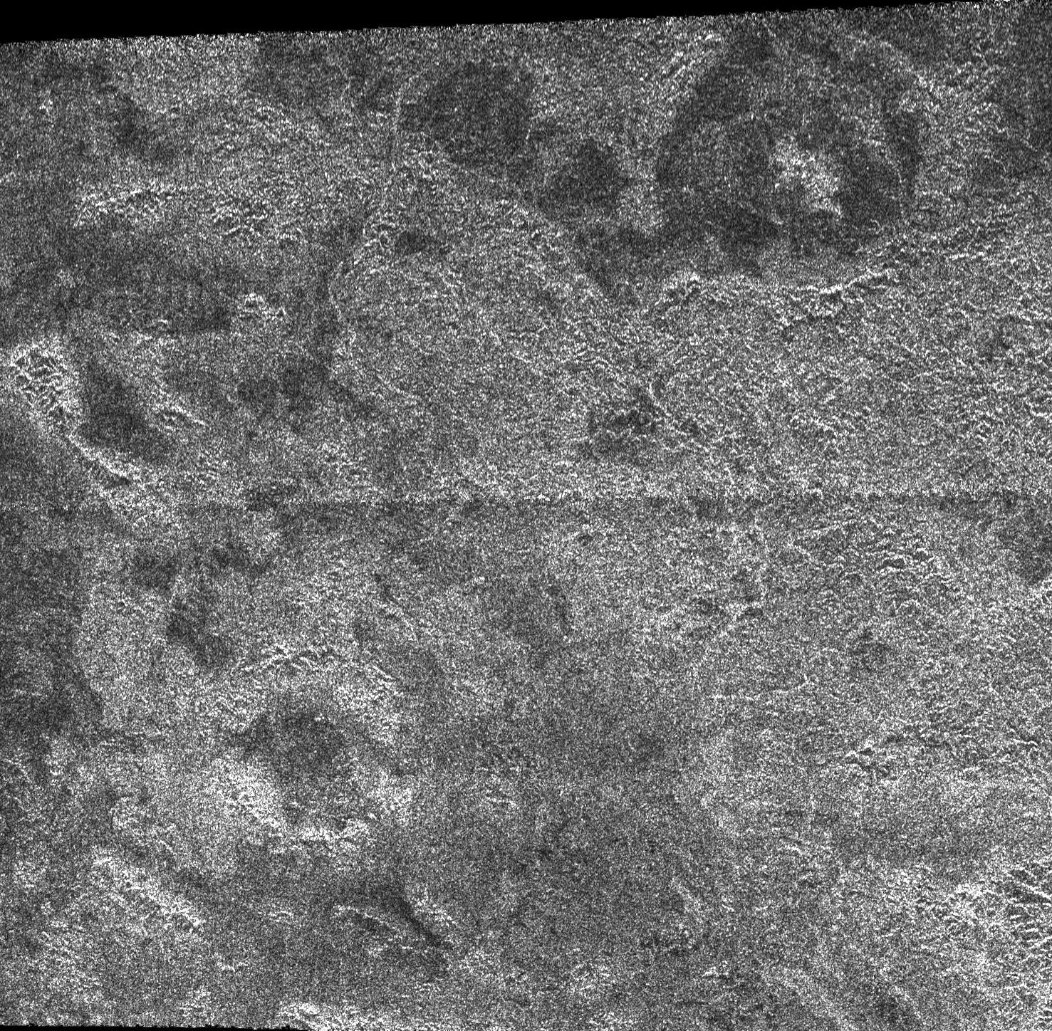
2006-04-27
Titan
Cassini-Huygens
Radar Mapper
1051x972x3
PIA08099:
Titan (T13) Viewed by Cassini's Radar
Full Resolution:
TIFF
(3.069 MB)
JPEG
(81.07 kB)
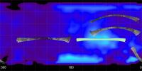
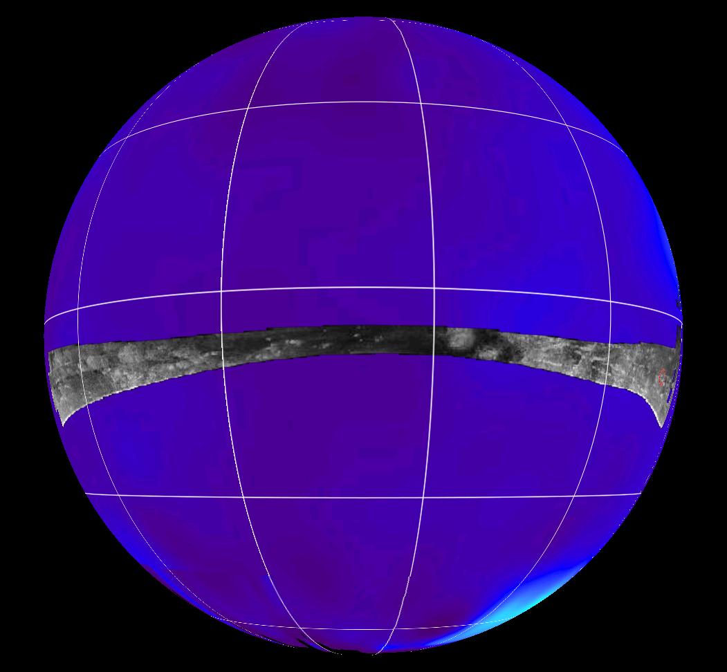
2006-04-27
Titan
Cassini-Huygens
Radar Mapper
6777x3390x3
PIA08100:
Titan (T13) Viewed by Cassini's Radar - Flat Map
Full Resolution:
TIFF
(68.92 MB)
JPEG
(996.8 kB)
2006-04-30
Mars
Mars Global Surveyor (MGS)
Mars Orbiter Camera (MOC)
1024x1616x1
PIA08108:
Tiled Floor
Full Resolution:
TIFF
(1.657 MB)
JPEG
(466.6 kB)
2006-05-03
Mars
Mars Global Surveyor (MGS)
Mars Orbiter Camera (MOC)
672x992x1
PIA08432:
Acidalia Plain
Full Resolution:
TIFF
(667.5 kB)
JPEG
(101.3 kB)
2006-05-03
Titan
Cassini-Huygens
Radar Mapper
2070x1244x1
PIA08425:
Radar Images the Margin of Xanadu
Full Resolution:
TIFF
(2.579 MB)
JPEG
(571.4 kB)
2006-05-03
Titan
Cassini-Huygens
Radar Mapper
850x1107x1
PIA08426:
Radar Images Shikoku - "Great Britain"
Full Resolution:
TIFF
(942.2 kB)
JPEG
(331.6 kB)
2006-05-05
Mimas
Cassini-Huygens
ISS - Narrow Angle
1020x1020x1
PIA08172:
Sharp Focus on Mimas
Full Resolution:
TIFF
(1.042 MB)
JPEG
(40.13 kB)
2006-05-05
Titan
Cassini-Huygens
Radar Mapper
1477x1448x1
PIA08429:
Impact Craters on Xanadu
Full Resolution:
TIFF
(2.141 MB)
JPEG
(786.5 kB)
2006-05-05
Titan
Cassini-Huygens
Radar Mapper
1051x972x3
PIA08430:
Radar Flyby of Titan - April 30, 2006
Full Resolution:
TIFF
(3.069 MB)
JPEG
(85.88 kB)
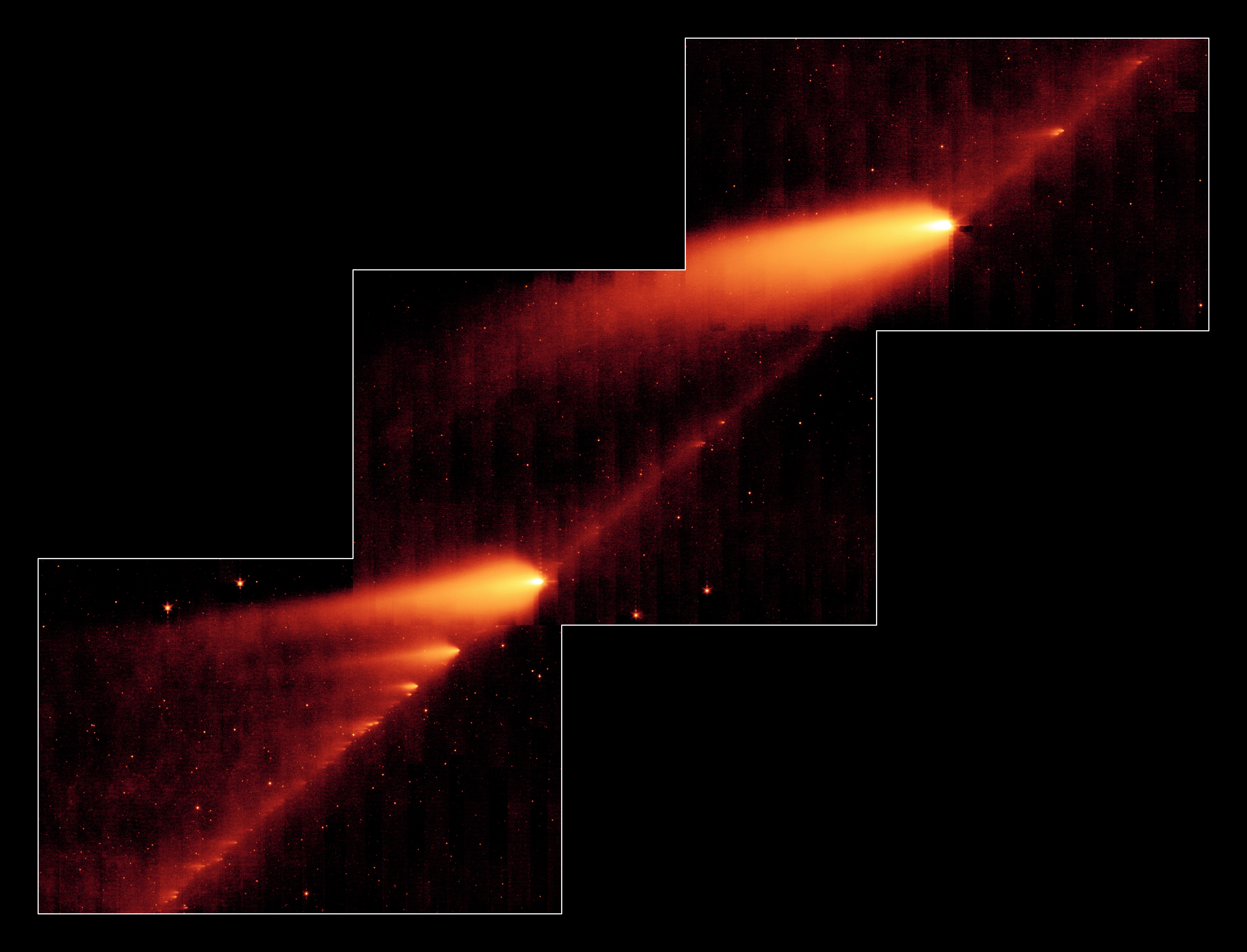
2006-05-10
Schwassmann-Wachmann 3
Spitzer Space Telescope
MIPS
6669x5091x3
PIA08452:
A Million Comet Pieces
Full Resolution:
TIFF
(33.99 MB)
JPEG
(1.795 MB)
2006-05-11
Mars
Mars Global Surveyor (MGS)
Mars Orbiter Camera (MOC)
1024x2574x1
PIA08457:
Filled Craters
Full Resolution:
TIFF
(2.639 MB)
JPEG
(241.3 kB)
2006-05-12
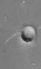
Iapetus
Cassini-Huygens
ISS - Narrow Angle
288x311x1
PIA08177:
Mysterious Iapetus
Full Resolution:
TIFF
(89.89 kB)
JPEG
(4.672 kB)
2006-05-12
Titan
Cassini-Huygens
Radar Mapper
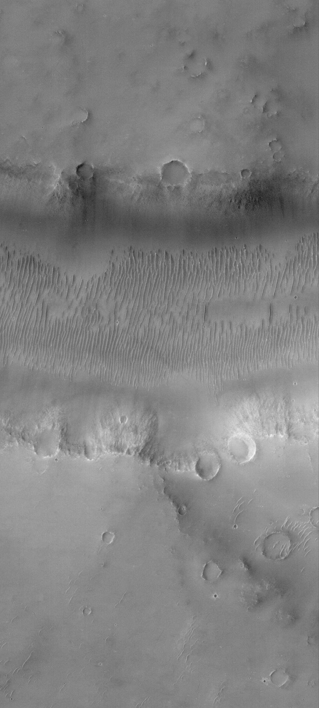
7218x766x1
PIA08454:
Dunes and more Dunes
Full Resolution:
TIFF
(5.535 MB)
JPEG
(1.68 MB)
2006-05-13
Mars
Mars Global Surveyor (MGS)
Mars Orbiter Camera (MOC)
1024x2268x1
PIA08459:
Evros Vallis
Full Resolution:
TIFF
(2.325 MB)
JPEG
(197.9 kB)
1-100
101-200
201-300
301-400
401-500
501-600
601-700
701-800
801-900
901-1000
Currently displaying images:
1101 - 1200
of 3152


