|
Your search criteria found 3149 images Feature Name |
| My List |
Addition Date
|
Target | Mission | Instrument | Size |

|
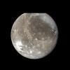
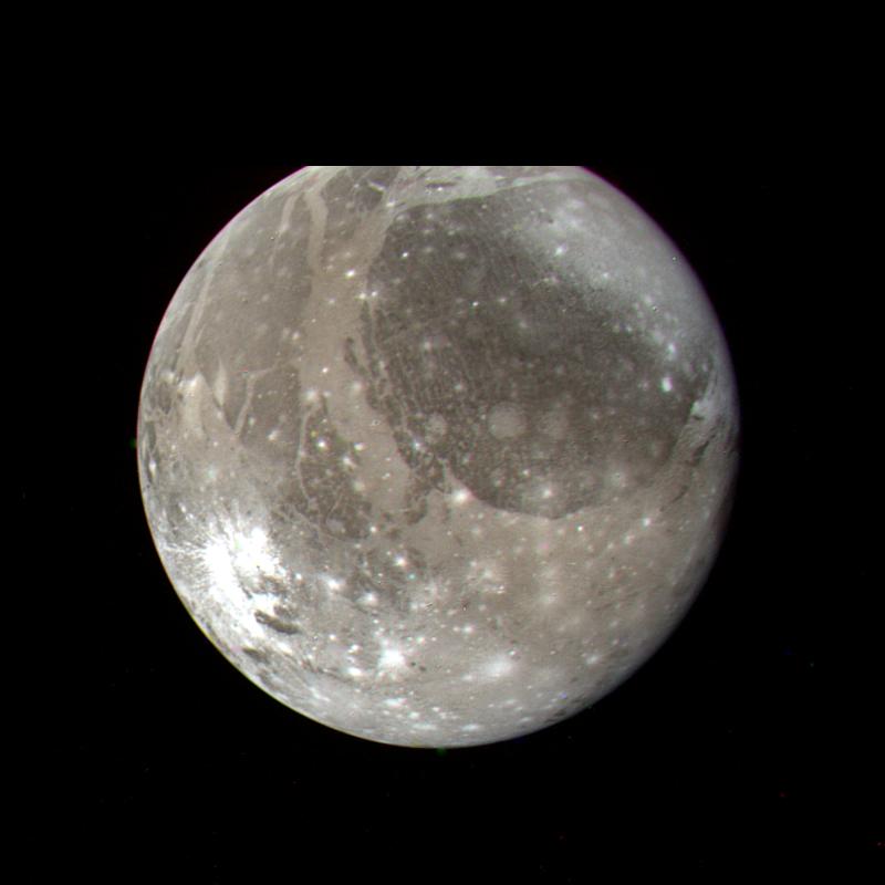
1999-03-13 | Ganymede |
Voyager |
VG ISS - Narrow Angle |
780x910x3 |
|
|||||
|
|
1999-03-15 | Callisto |
Voyager |
VG ISS - Narrow Angle |
300x300x3 |
|
|||||
|
|
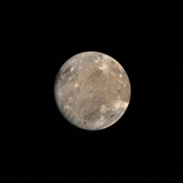
1999-03-15 | Ganymede |
Voyager |
VG ISS - Narrow Angle |
600x600x3 |
|
|||||
|
|
1999-03-23 | Europa |
Voyager |
VG ISS - Narrow Angle |
790x790x1 |
|
|||||
|
|
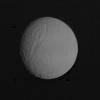
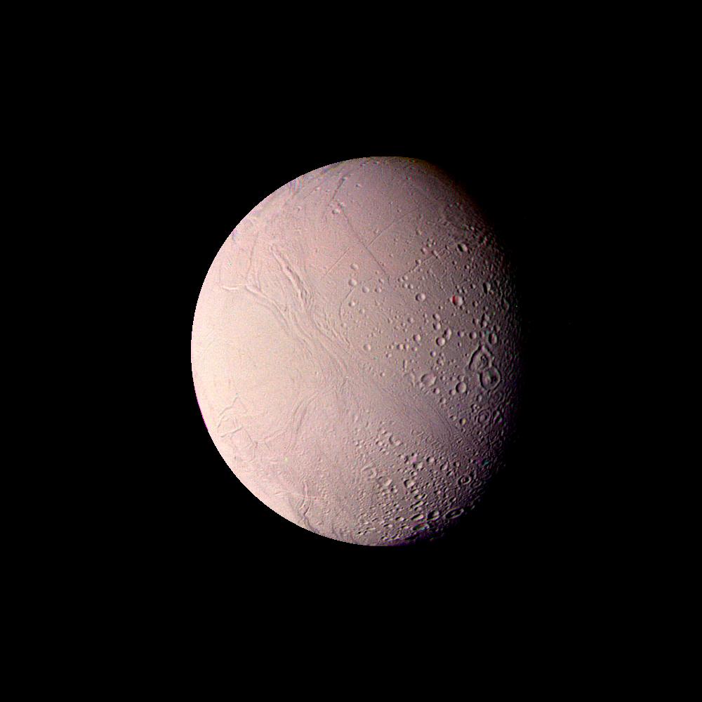
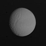
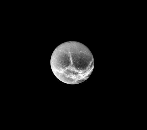
1999-03-23 | Enceladus |
Voyager |
VG ISS - Narrow Angle |
1000x1000x3 |
|
|||||
|
|
1999-04-11 | Tethys |
Voyager |
VG ISS - Narrow Angle |
250x170x1 |
|
|||||
|
|
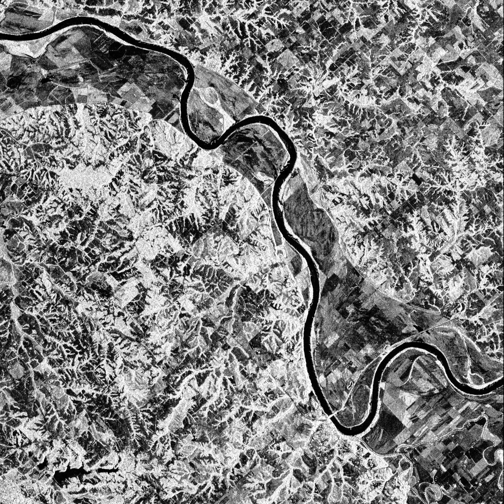
1999-04-15 | Earth |
Spaceborne Imaging Radar-C/X-Band Synthetic Aperture Radar |
506x1001x3 | |

|
|||||
|
|
1999-04-15 | Earth |
Spaceborne Imaging Radar-C/X-Band Synthetic Aperture Radar |
2447x1789x3 | |
|
|||||
|
|
1999-04-15 | Earth |
Spaceborne Imaging Radar-C/X-Band Synthetic Aperture Radar |
2206x1758x3 | |

|
|||||
|
|
1999-04-15 | Earth |
Airborne Synthetic Aperture Radar (AIRSAR) |
AirSAR |
1081x2137x3 |
|
|||||
|
|
1999-05-01 | Earth |
Spaceborne Imaging Radar-C/X-Band Synthetic Aperture Radar |
1211x1025x3 | |
|
|||||
|
|
1999-05-01 | Earth |
Spaceborne Imaging Radar-C/X-Band Synthetic Aperture Radar |
1392x1152x3 | |
|
|||||
|
|
1999-05-01 | Earth |
Spaceborne Imaging Radar-C/X-Band Synthetic Aperture Radar |
1020x1020x3 | |
|
|||||
|
|
1999-05-01 | Earth |
Spaceborne Imaging Radar-C/X-Band Synthetic Aperture Radar |
1020x1020x1 | |
|
|||||
|
|
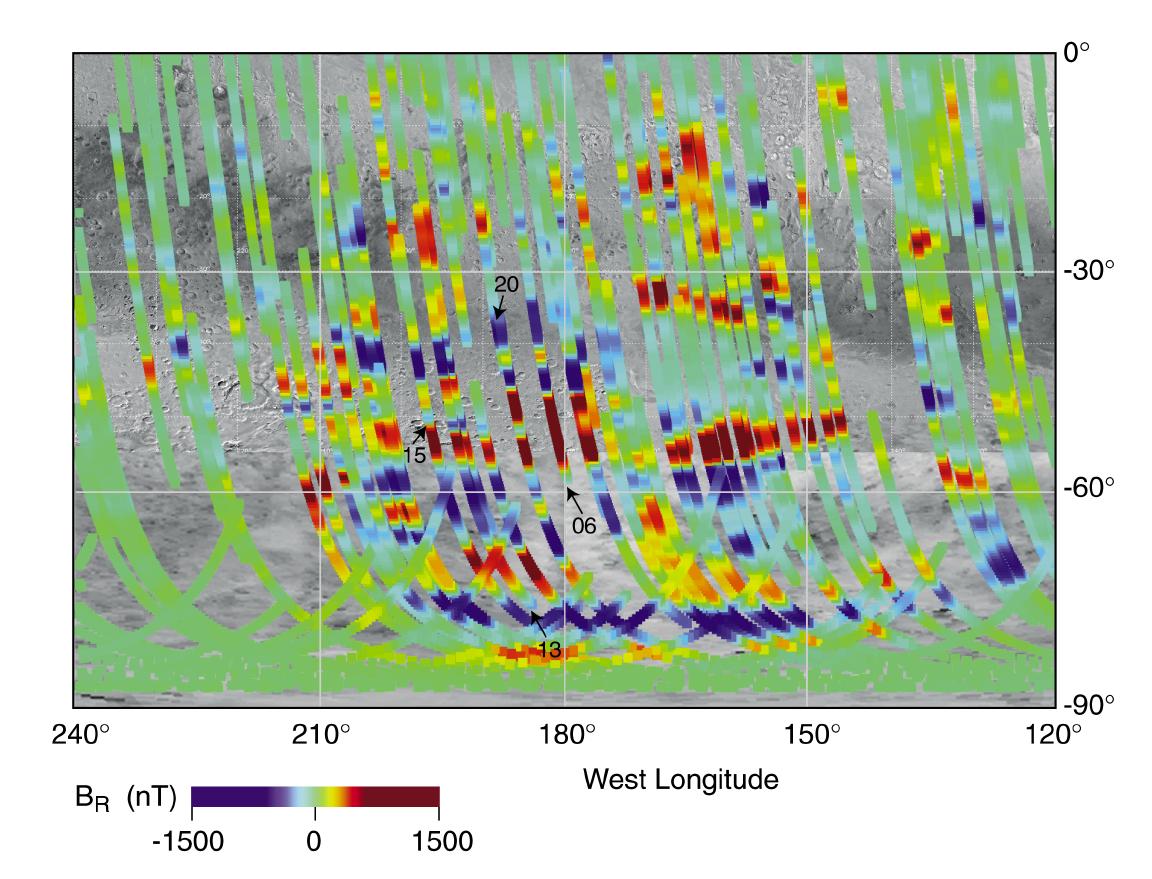
1999-05-03 | Mars |
Mars Global Surveyor (MGS) |
Magnetometer |
1152x879x3 |
|
|||||
|
|
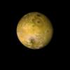
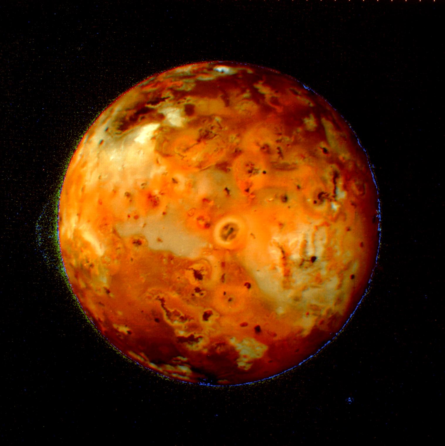
1999-05-08 | Io |
Voyager |
1517x1519x3 | |
|
|||||
|
|
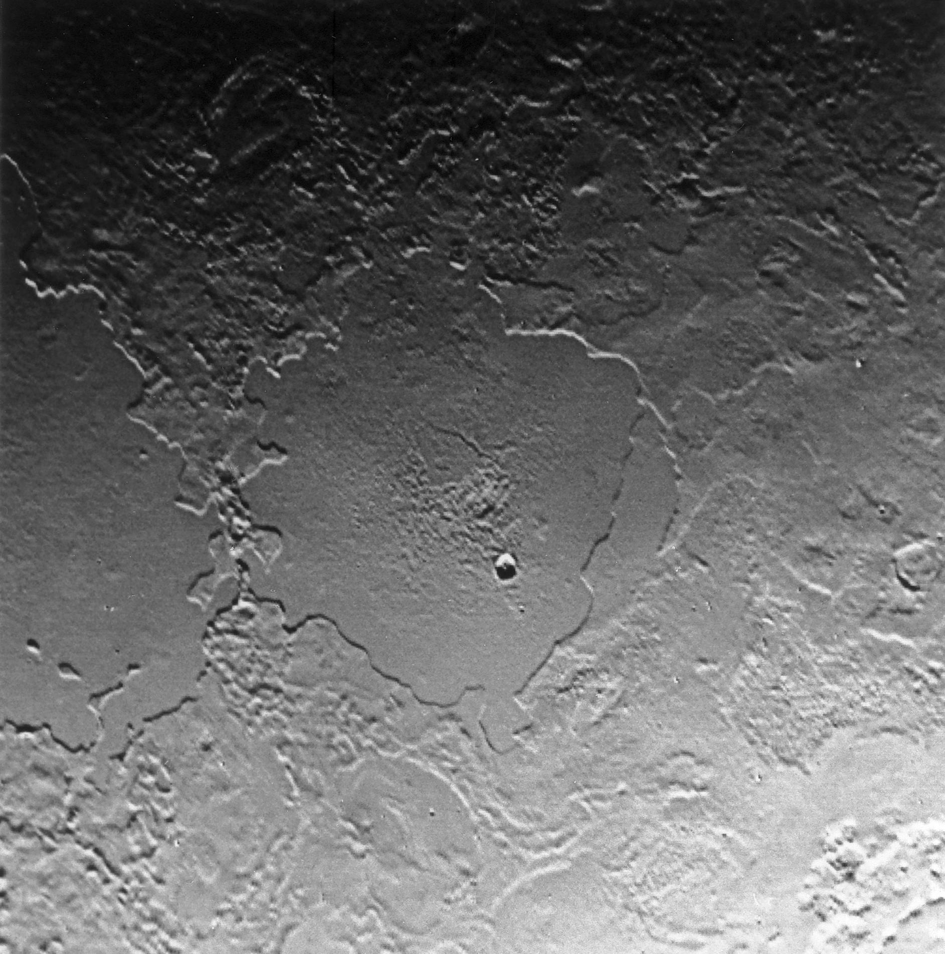
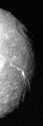
1999-05-08 | Triton |
Voyager |
1894x1854x1 | |
|
|||||
|
|
1999-05-08 | Triton |
Voyager |
1885x1903x1 | |
|
|||||
|
|
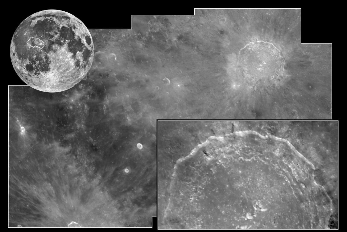
1999-05-21 | Moon |
Hubble Space Telescope |
WFPC2 |
1125x754x1 |
|
|||||
|
|
1999-05-21 | Mimas |
Voyager |
VG ISS - Narrow Angle |
140x140x1 |
|
|||||
|
|
1999-05-27 | Mars |
Mars Global Surveyor (MGS) |
MOLA |
2497x2221x3 |
|
|||||
|
|
1999-05-27 | Mars |
Mars Global Surveyor (MGS) |
MOLA |
2761x1759x3 |
|
|||||
|
|
1999-06-16 | Ganymede |
Voyager |
VG ISS - Narrow Angle |
800x800x3 |
|
|||||
|
|
1999-06-16 | Tethys |
Voyager |
VG ISS - Narrow Angle |
150x150x1 |
|
|||||
|
|
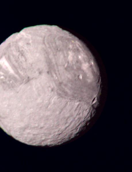
1999-06-19 | Titania |
Voyager |
VG ISS - Narrow Angle |
150x440x1 |
|
|
|||||
|
|
1999-06-19 | Titania |
Voyager |
VG ISS - Narrow Angle |
784x560x1 |

|
|||||
|
|
1999-07-02 | Mars |
Mars Global Surveyor (MGS) |
Mars Orbiter Camera (MOC) |
499x1778x1 |
|
|
|||||
|
|
1999-07-16 | Io |
Voyager |
VG ISS - Narrow Angle |
300x300x3 |
|
|||||
|
|
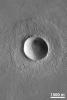
1999-07-19 | Mars |
Mars Global Surveyor (MGS) |
Mars Orbiter Camera (MOC) |
1024x1536x1 |
|
|||||
|
|
1999-07-23 | Ganymede |
Voyager |
VG ISS - Narrow Angle |
100x100x3 |
|
|||||
|
|
1999-08-08 | Triton |
Voyager |
VG ISS - Narrow Angle |
935x772x1 |
|
|||||
|
|
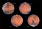
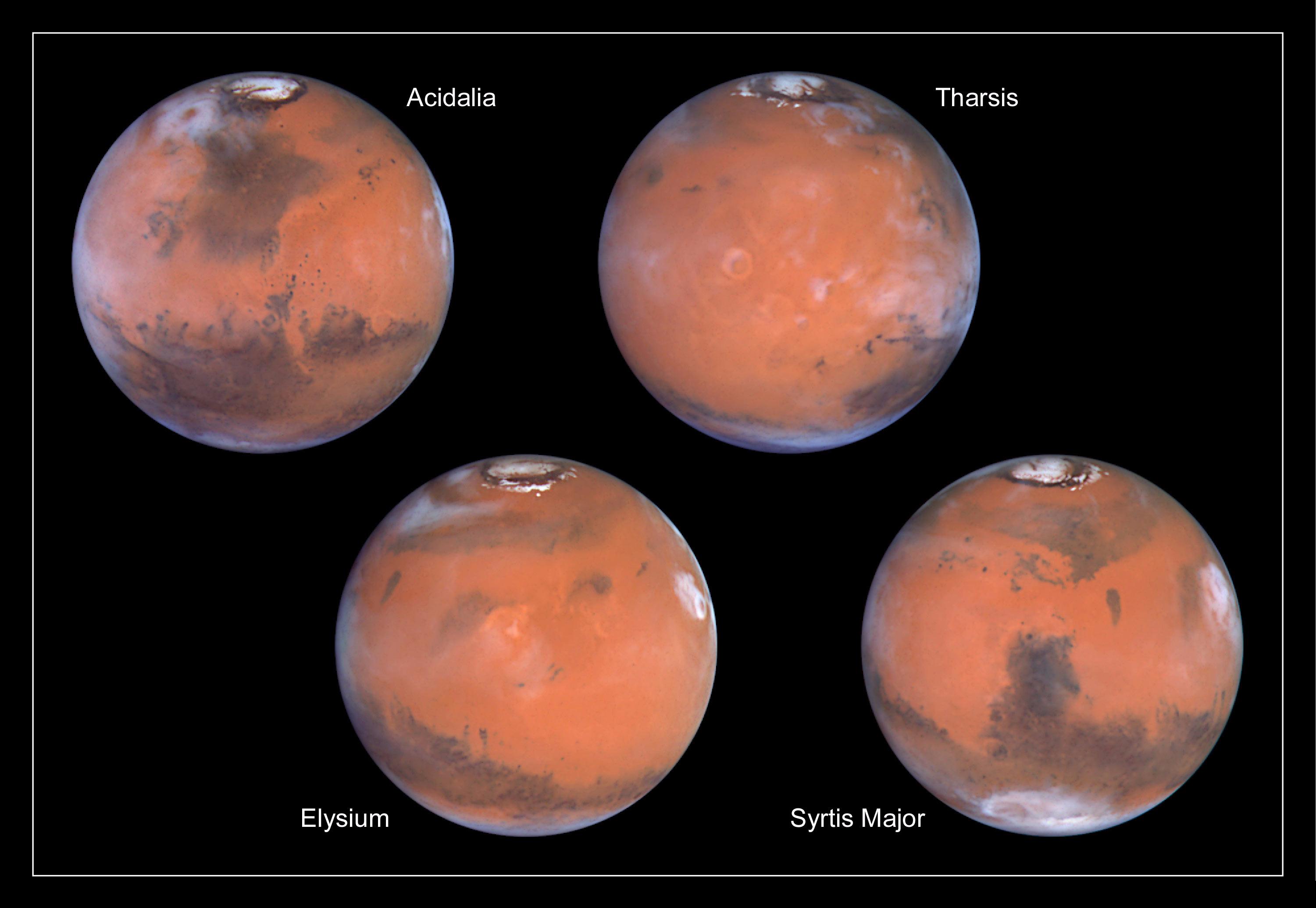
1999-08-23 | Mars |
Hubble Space Telescope |
WFPC2 |
800x800x3 |
|
|||||
|
|
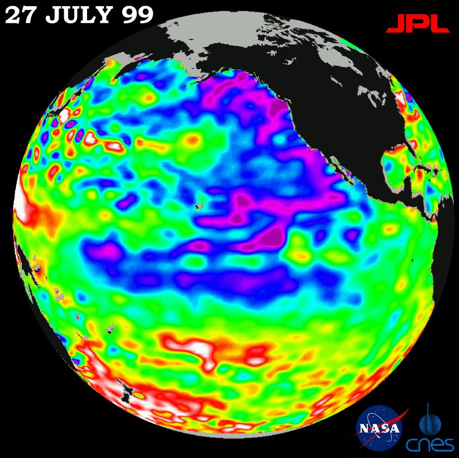
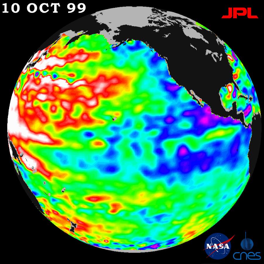
1999-08-23 | Earth |
TOPEX/Poseidon |
Altimeter |
902x900x3 |
|
|||||
|
|
1999-08-23 | Mars |
Hubble Space Telescope |
WFPC2 |
3001x2070x3 |
|
|||||
|
|
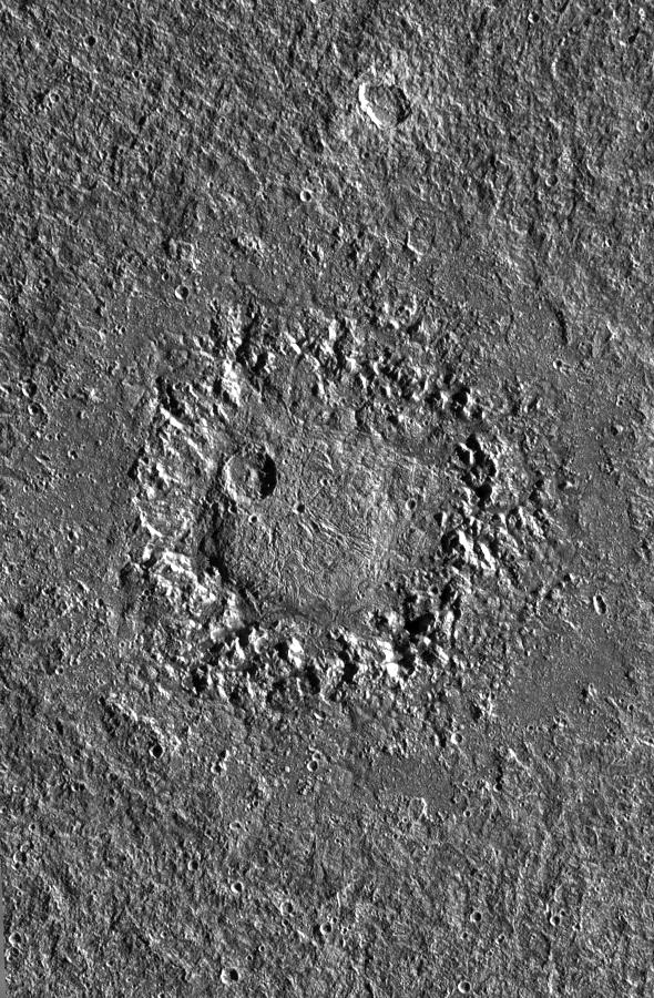
1999-08-30 | Miranda |
Voyager |
VG ISS - Narrow Angle |
459x600x3 |
|
|||||
|
|
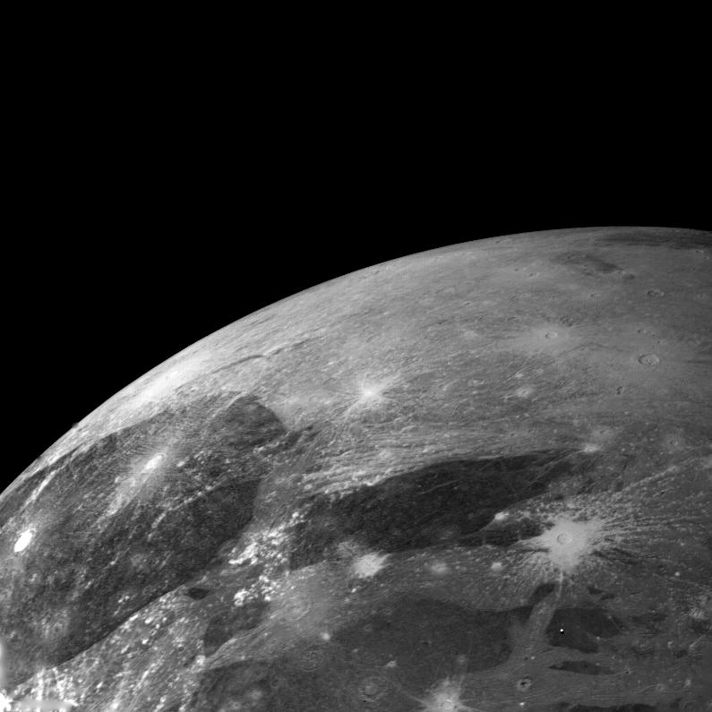
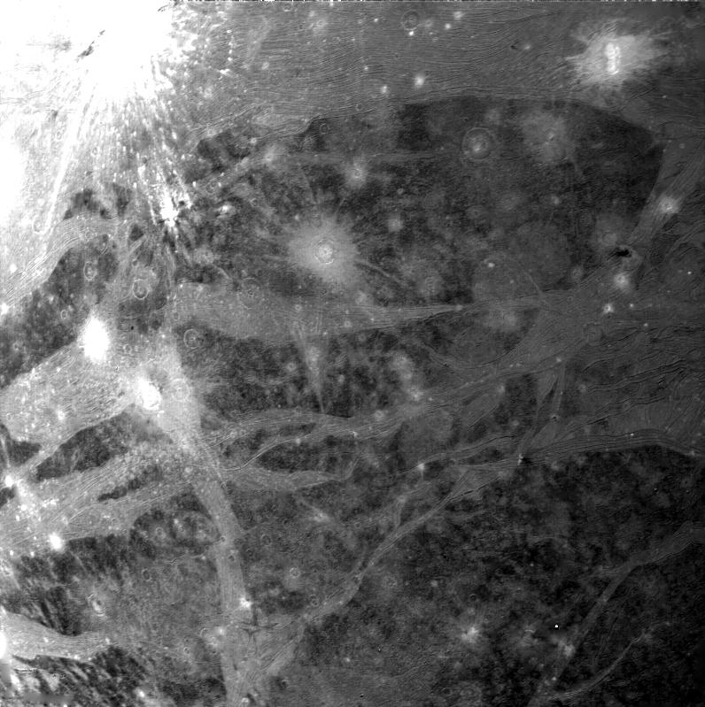
1999-10-07 | Callisto |
Galileo |
Solid-State Imaging |
449x449x1 |
|
|||||
|
|
1999-10-07 | Ganymede |
Galileo |
Solid-State Imaging |
590x900x1 |
|
|||||
|
|
1999-10-07 | Ganymede |
Galileo |
Solid-State Imaging |
1078x900x1 |
|
|||||
|
|
1999-10-07 | Ganymede |
Galileo |
Solid-State Imaging |
610x900x1 |
|
|||||
|
|
1999-10-07 | Callisto |
Galileo |
Solid-State Imaging |
1440x669x1 |
|
|||||
|
|
1999-10-08 | Mercury |
Mariner Venus Mercury (Mariner 10) |
356x311x1 | |

|
|||||
|
|
1999-10-08 | Mercury |
Mariner Venus Mercury (Mariner 10) |
348x302x1 | |
|
|||||
|
|
1999-11-18 | Earth |
TOPEX/Poseidon |
Altimeter |
902x900x3 |
|
|||||
|
|
1999-12-02 | Rotten Egg Nebula |
Hubble Space Telescope |
WFPC2 |
843x794x3 |
|
|||||
|
|
1999-12-10 | Phoebe |
Voyager |
VG ISS - Narrow Angle |
300x150x1 |

|
|||||
|
|
1999-12-21 |
ACRIMSAT |
800x688x3 | ||
|
|||||
|
|
2000-01-04 | Io |
Voyager |
VG ISS - Narrow Angle |
794x794x1 |
|
|||||
|
|
2000-01-04 | Ganymede |
Voyager |
VG ISS - Narrow Angle |
795x795x1 |

|
|||||
|
|
2000-01-15 | Mercury |
Mariner Venus Mercury (Mariner 10) |
356x311x1 | |
|
|||||
|
|
2000-01-16 | Triton |
Voyager |
VG ISS - Narrow Angle |
1000x1000x1 |
|
|||||
|
|
2000-01-16 | Triton |
Voyager |
VG ISS - Narrow Angle |
3500x5500x1 |
|
|||||
|
|
2000-01-26 | Mercury |
Mariner Venus Mercury (Mariner 10) |
7200x5000x1 | |
|
|||||
|
|
2000-02-07 | Rhea |
Voyager |
VG ISS - Narrow Angle |
870x640x3 |
|
|||||
|
|
2000-02-15 | Earth |
Shuttle Radar Topography Mission (SRTM) |
C-Band Interferometric Radar |
2400x2938x3 |
|
|||||
|
|
2000-03-06 | Europa |
Galileo |
Solid-State Imaging |
900x900x1 |
|
|||||
|
|
2000-03-23 | Ganymede |
Voyager |
VG ISS - Narrow Angle |
794x794x1 |
|
|||||
|
|
2000-04-19 | Earth |
Terra |
MISR |
1920x1079x3 |
|
|||||
|
|
2000-04-20 | Mars |
Mars Global Surveyor (MGS) |
Mars Orbiter Camera (MOC) |
512x15488x3 |
|
|
|||||
|
|
2000-04-24 | Amalthea |
Galileo |
Solid-State Imaging |
490x1190x1 |
|
|
|||||
|
|
2000-04-24 | Amalthea |
Galileo |
Solid-State Imaging |
748x381x1 |

|
|||||
|
|
2000-04-24 | Amalthea |
Galileo |
Solid-State Imaging |
860x410x1 |
|
|||||
|
|
2000-04-24 | Mars |
Mars Global Surveyor (MGS) |
Mars Orbiter Camera (MOC) |
720x1145x1 |
|
|||||
|
|
2000-04-29 | Mars |
Mars Global Surveyor (MGS) |
Mars Orbiter Camera (MOC) |
585x1458x1 |
|
|
|||||
|
|
2000-04-29 | Mars |
Mars Global Surveyor (MGS) |
Mars Orbiter Camera (MOC) |
836x1323x1 |
|
|||||
|
|
2000-05-05 | Mars |
Mars Global Surveyor (MGS) |
Mars Orbiter Camera (MOC) |
1055x869x1 |
|
|||||
|
|
2000-05-05 | Mars |
Mars Global Surveyor (MGS) |
Mars Orbiter Camera (MOC) |
512x711x1 |
|
|||||
|
|
2000-05-07 | Earth |
TOPEX/Poseidon |
Altimeter |
900x900x3 |
|
|||||
|
|
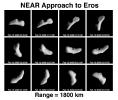
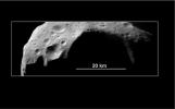
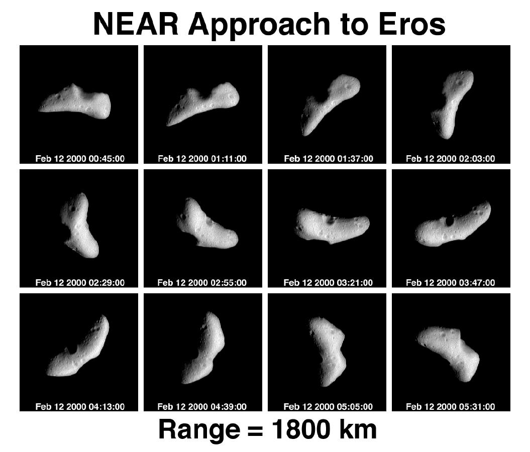
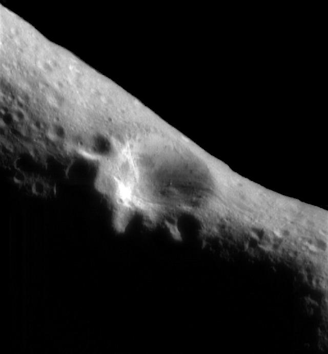
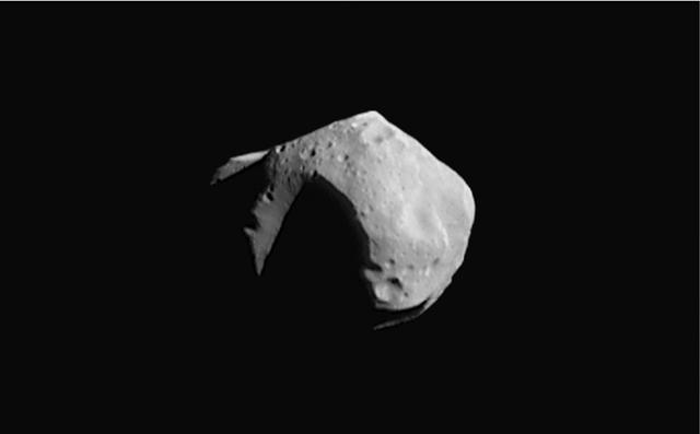
2000-05-07 | Eros |
NEAR Shoemaker |
Multi-Spectral Imager |
1055x900x1 |
|
|||||
|
|
2000-05-07 | Eros |
NEAR Shoemaker |
Multi-Spectral Imager |
640x691x1 |

|
|||||
|
|
2000-05-07 | Eros |
NEAR Shoemaker |
Multi-Spectral Imager |
512x345x1 |
|
|||||
|
|
2000-05-07 | Mathilde |
NEAR Shoemaker |
Multi-Spectral Imager |
640x397x1 |
|
|||||
|
|
2000-05-07 | Mathilde |
NEAR Shoemaker |
Multi-Spectral Imager |
640x397x1 |
|
|||||
|
|
2000-05-07 | Mathilde |
NEAR Shoemaker |
Multi-Spectral Imager |
640x398x1 |
|
|||||
|
|
2000-05-08 | Earth |
QuikScat |
SeaWinds Scatterometer |
1452x1280x3 |
|
|||||
|
|
2000-05-13 | Mars |
Mars Global Surveyor (MGS) |
Mars Orbiter Camera (MOC) |
1468x4825x1 |
|
|
|||||
|
|
2000-05-13 | Mars |
Mars Global Surveyor (MGS) |
Mars Orbiter Camera (MOC) |
836x2986x1 |
|
|
|||||
|
|
2000-05-13 | Mars |
Mars Global Surveyor (MGS) |
Mars Orbiter Camera (MOC) |
512x2432x1 |
|
|
|||||
|
|
2000-05-15 | Mars |
Mars Global Surveyor (MGS) |
Mars Orbiter Camera (MOC) |
733x1048x1 |

|
|||||
|
|
2000-05-15 | Mars |
Mars Global Surveyor (MGS) |
Mars Orbiter Camera (MOC) |
1024x2331x1 |
|
|
|||||
|
|
2000-05-22 | Mars |
Mars Global Surveyor (MGS) |
Mars Orbiter Camera (MOC) |
800x7000x3 |
|
|
|||||
|
|
2000-05-22 | Mars |
Mars Global Surveyor (MGS) |
Mars Orbiter Camera (MOC) |
2174x987x3 |
|
|||||
|
|
2000-05-22 | Mars |
Mars Global Surveyor (MGS) |
Mars Orbiter Camera (MOC) |
800x7000x1 |
|
|
|||||
|
|
2000-05-22 | Mars |
Mars Global Surveyor (MGS) |
Mars Orbiter Camera (MOC) |
512x1837x1 |
|
|
|||||
|
|
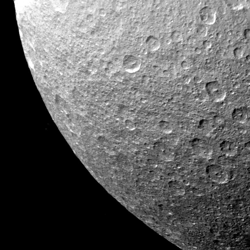
2000-05-23 | Rhea |
Voyager |
VG ISS - Narrow Angle |
551x739x1 |
|
|||||
|
|
2000-05-23 | Dione |
Voyager |
VG ISS - Narrow Angle |
516x457x1 |

|
|||||
|
|
2000-05-23 | Mimas |
Voyager |
VG ISS - Narrow Angle |
363x403x1 |
|
|||||
|
|
2000-05-23 | Rhea |
Voyager |
VG ISS - Narrow Angle |
796x796x1 |

|
|||||
|
|
2000-05-23 | Tethys |
Voyager |
VG ISS - Narrow Angle |
800x800x1 |
|
|||||
|
|
2000-05-24 | Iapetus |
Voyager |
VG ISS - Narrow Angle |
190x242x1 |
|
|||||
|
|
2000-05-25 | Callisto |
Voyager |
VG ISS - Narrow Angle |
797x797x1 |
|
|||||
|
|
2000-05-25 | Ganymede |
Voyager |
VG ISS - Narrow Angle |
796x799x1 |
|
|||||
|
|
2000-05-25 | Ganymede |
Voyager |
VG ISS - Narrow Angle |
796x796x1 |

|
|||||
|
|
2000-05-25 | Ganymede |
Voyager |
VG ISS - Narrow Angle |
796x796x1 |
|
|||||
|
|
2000-05-25 | Ganymede |
Voyager |
VG ISS - Narrow Angle |
786x1722x1 |
|
|
|||||
|
|
2000-05-25 | Ganymede |
Voyager |
VG ISS - Narrow Angle |
1594x797x1 |
|
|||||
|
|
2000-05-27 | Mars |
Mars Global Surveyor (MGS) |
Mars Orbiter Camera (MOC) |
836x1169x1 |
|
|||||
|
|
2000-06-01 | Mars |
Mars Global Surveyor (MGS) |
Mars Orbiter Camera (MOC) |
1024x812x1 |
|
|||||
|
|
2000-06-01 | Mars |
Mars Global Surveyor (MGS) |
Mars Orbiter Camera (MOC) |
819x1211x1 |
|
|||||
|
|
2000-06-01 | Mars |
Mars Global Surveyor (MGS) |
Mars Orbiter Camera (MOC) |
376x1790x1 |
|
|
|||||
|
|
2000-06-01 | Mars |
Mars Global Surveyor (MGS) |
Mars Orbiter Camera (MOC) |
512x1030x1 |
|
|||||

|
 |
|
|
 |
 |
|
|
|
|
|

|
| 1-100 | 101-200 | 201-300 | 301-400 | 401-500 | 501-600 | 601-700 | 701-800 | 801-900 | 901-1000 |
| Currently displaying images: 301 - 400 of 3149 |