|
Your search criteria found 3149 images Feature Name |
| My List |
Addition Date
|
Target | Mission | Instrument | Size |

|
1998-06-04 | Ida |
Galileo |
Solid-State Imaging |
3195x4650x1 |
|
|||||
|
|
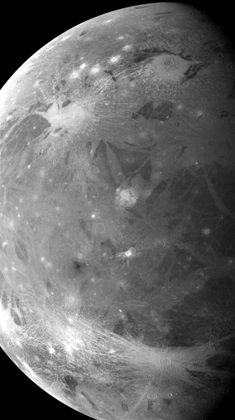
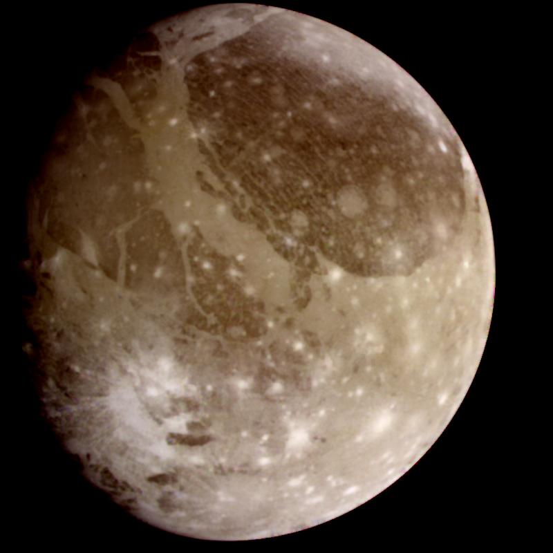
1998-06-04 | Ganymede |
Voyager |
VG ISS - Wide Angle |
1024x520x3 |
|
|||||
|
|
1998-06-04 | Earth |
Galileo |
Solid-State Imaging |
1700x2164x3 |
|
|||||
|
|
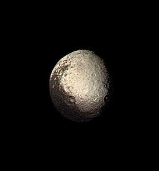
1998-06-04 | Iapetus |
Voyager |
VG ISS - Narrow Angle |
325x350x3 |
|
|||||
|
|
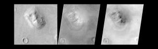
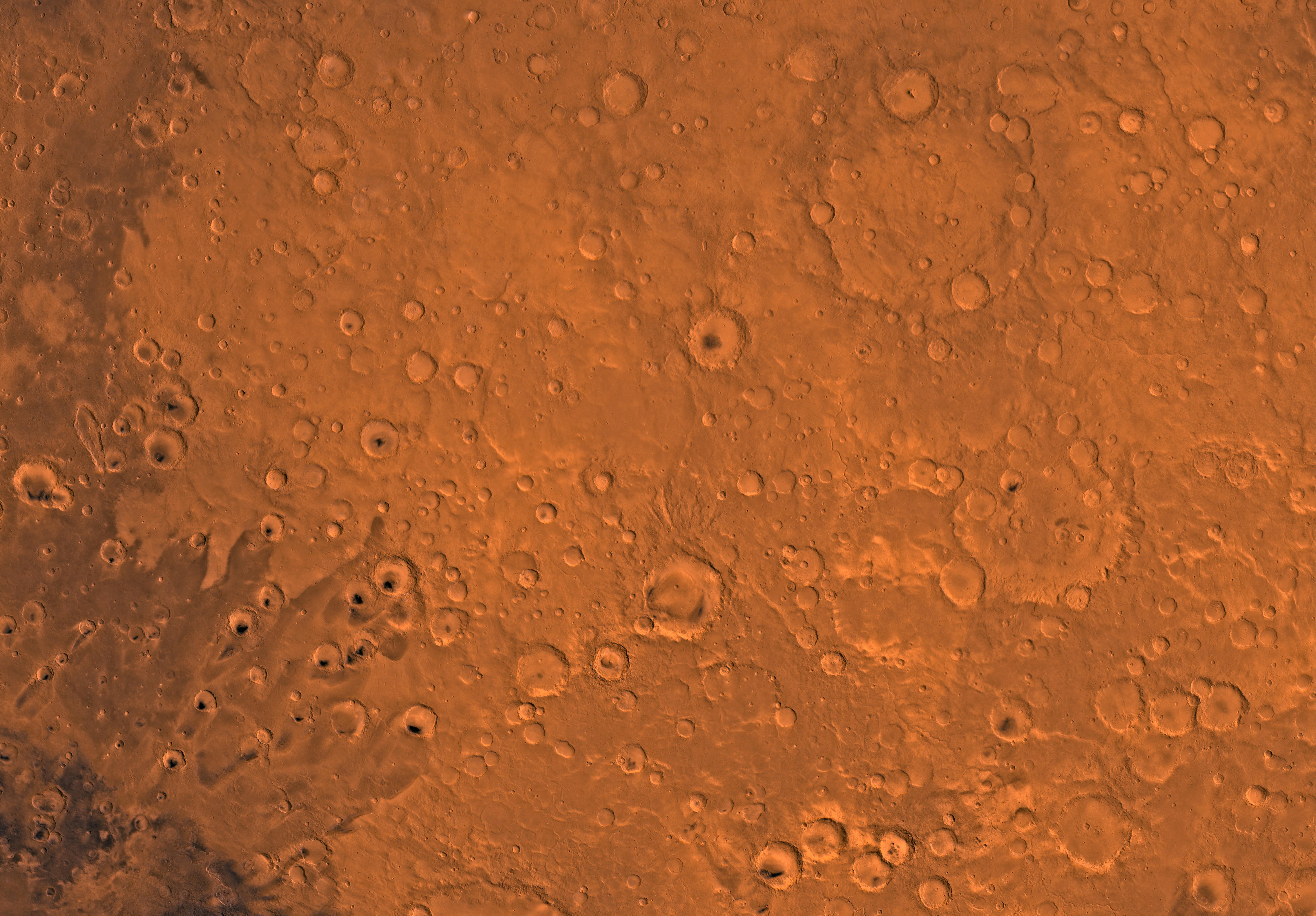
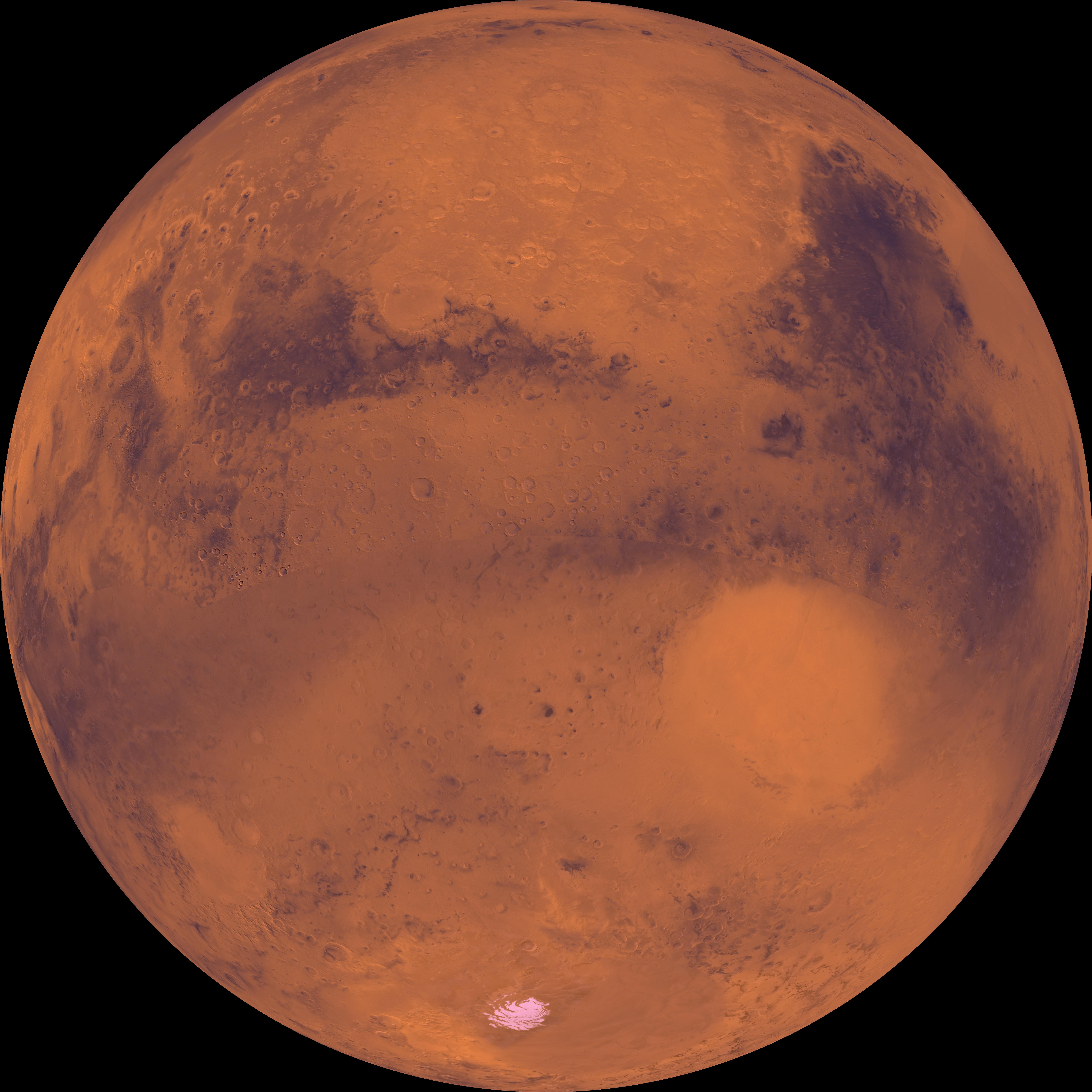
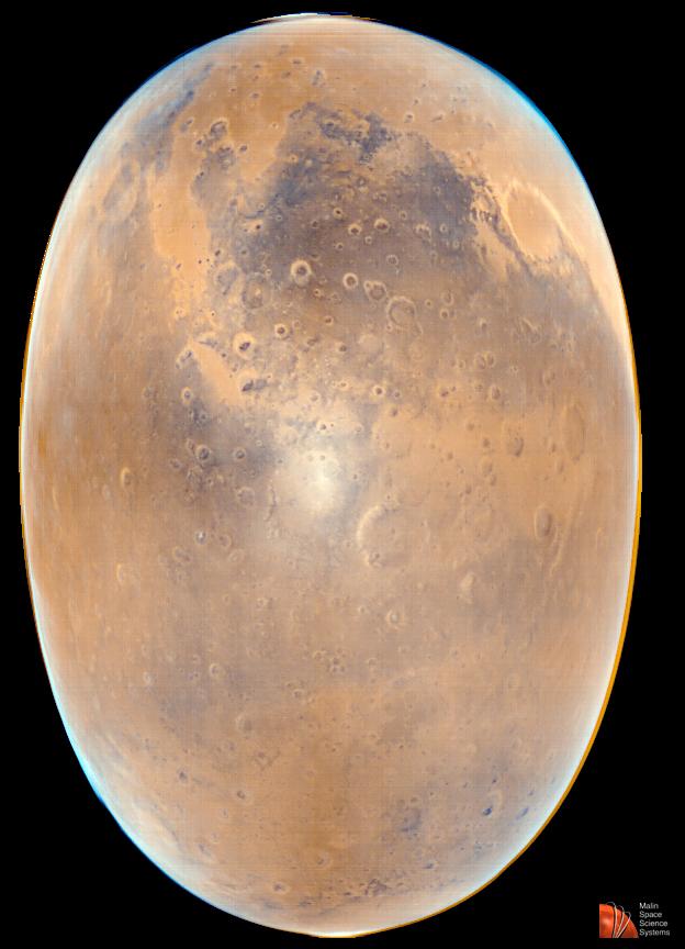
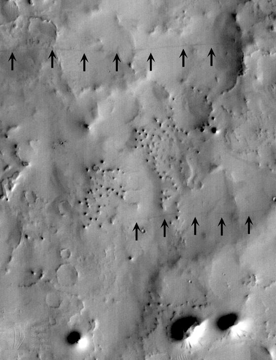
1998-06-05 | Mars |
Viking |
Visual Imaging Subsystem - Camera A |
7170x4991x3 |
|
|||||
|
|
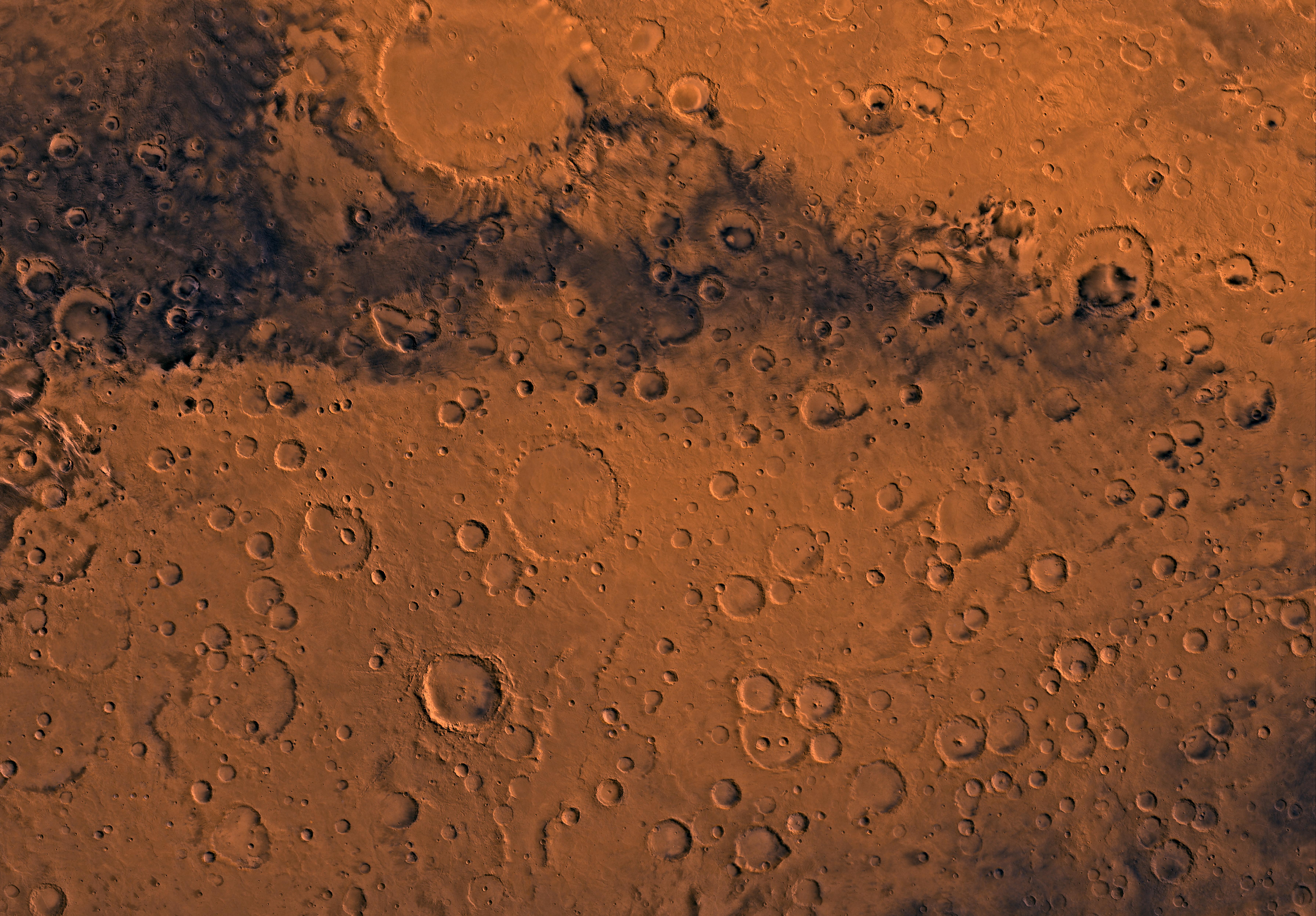
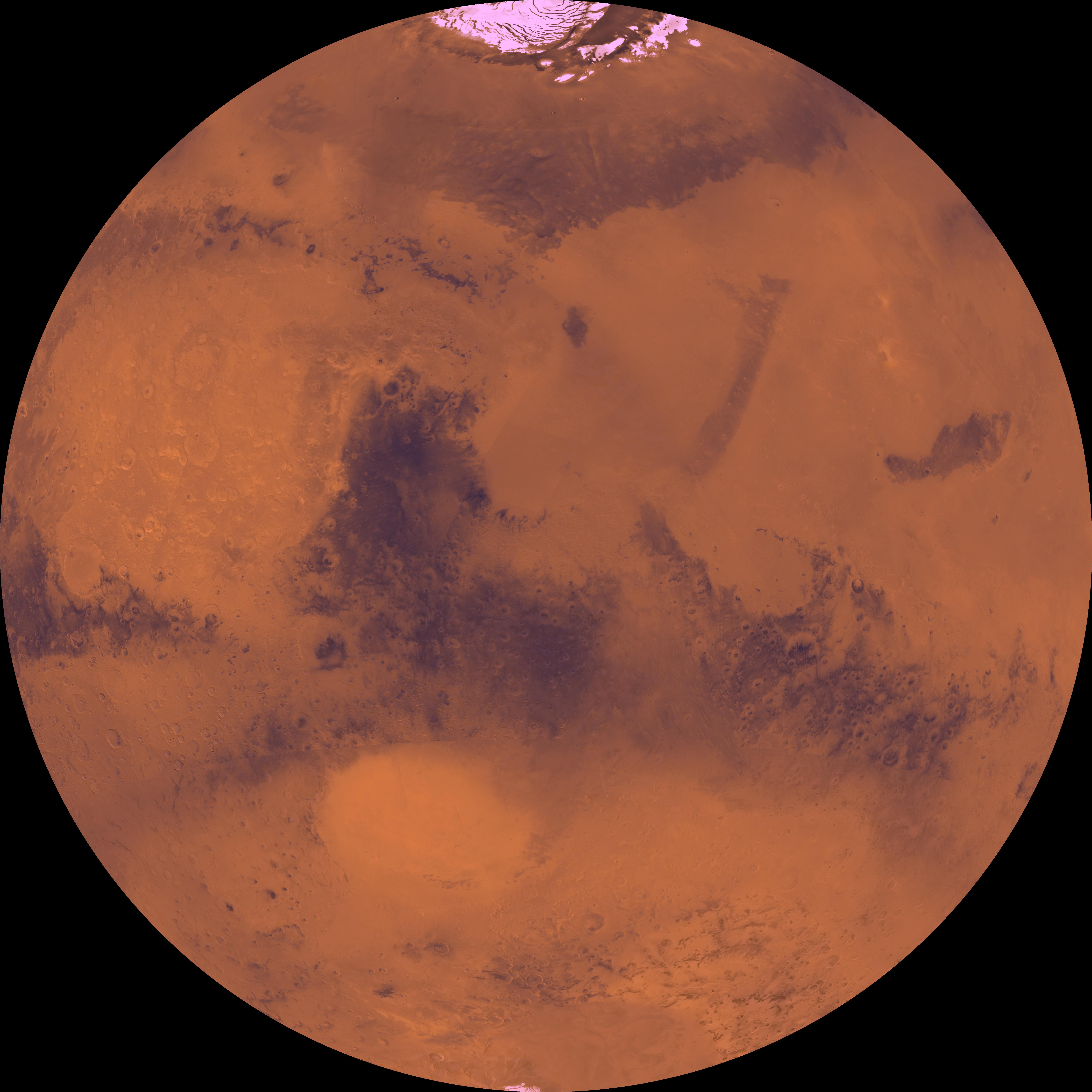
1998-06-05 | Mars |
Viking |
Visual Imaging Subsystem - Camera A |
7170x4991x3 |

|
|||||
|
|
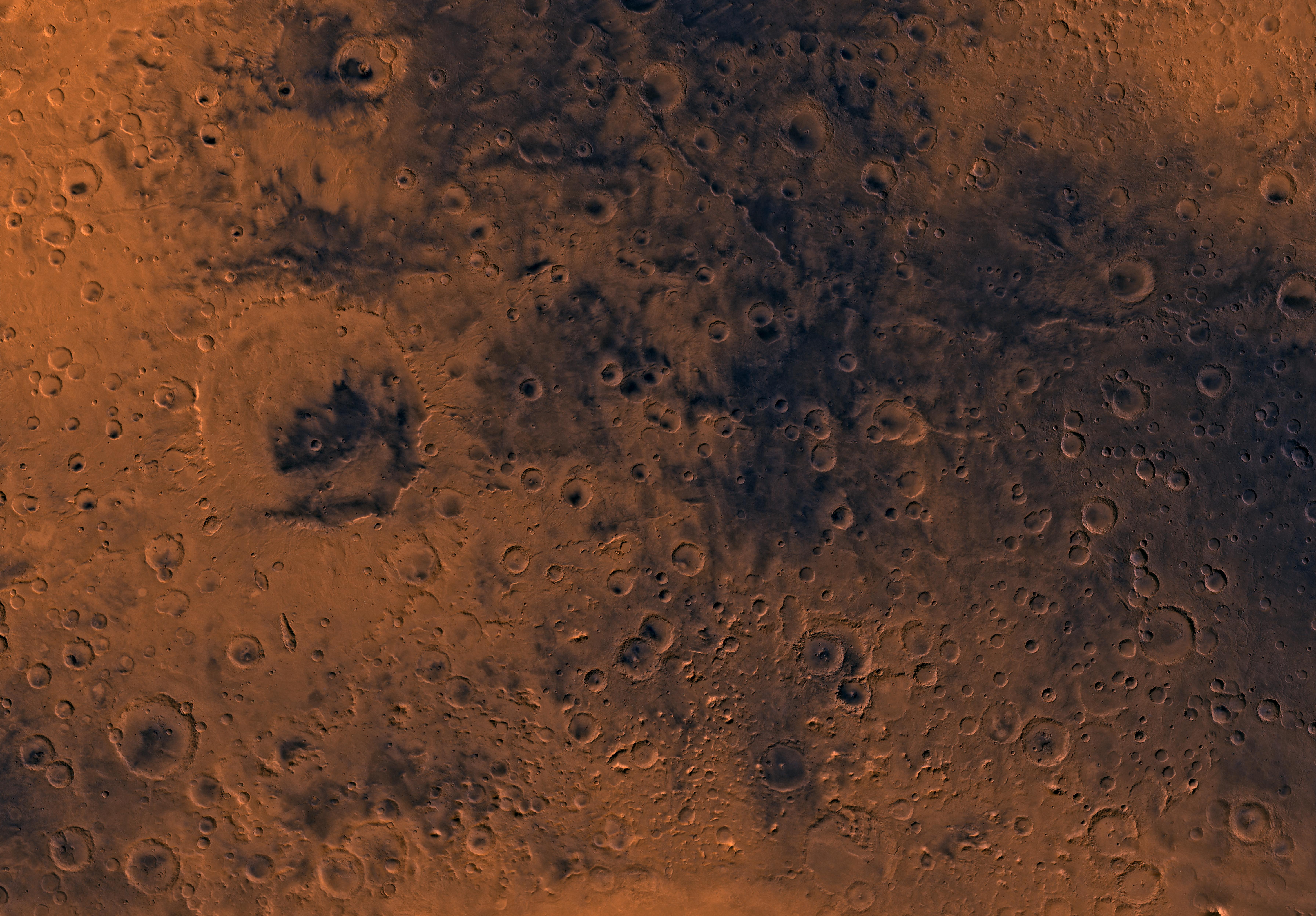
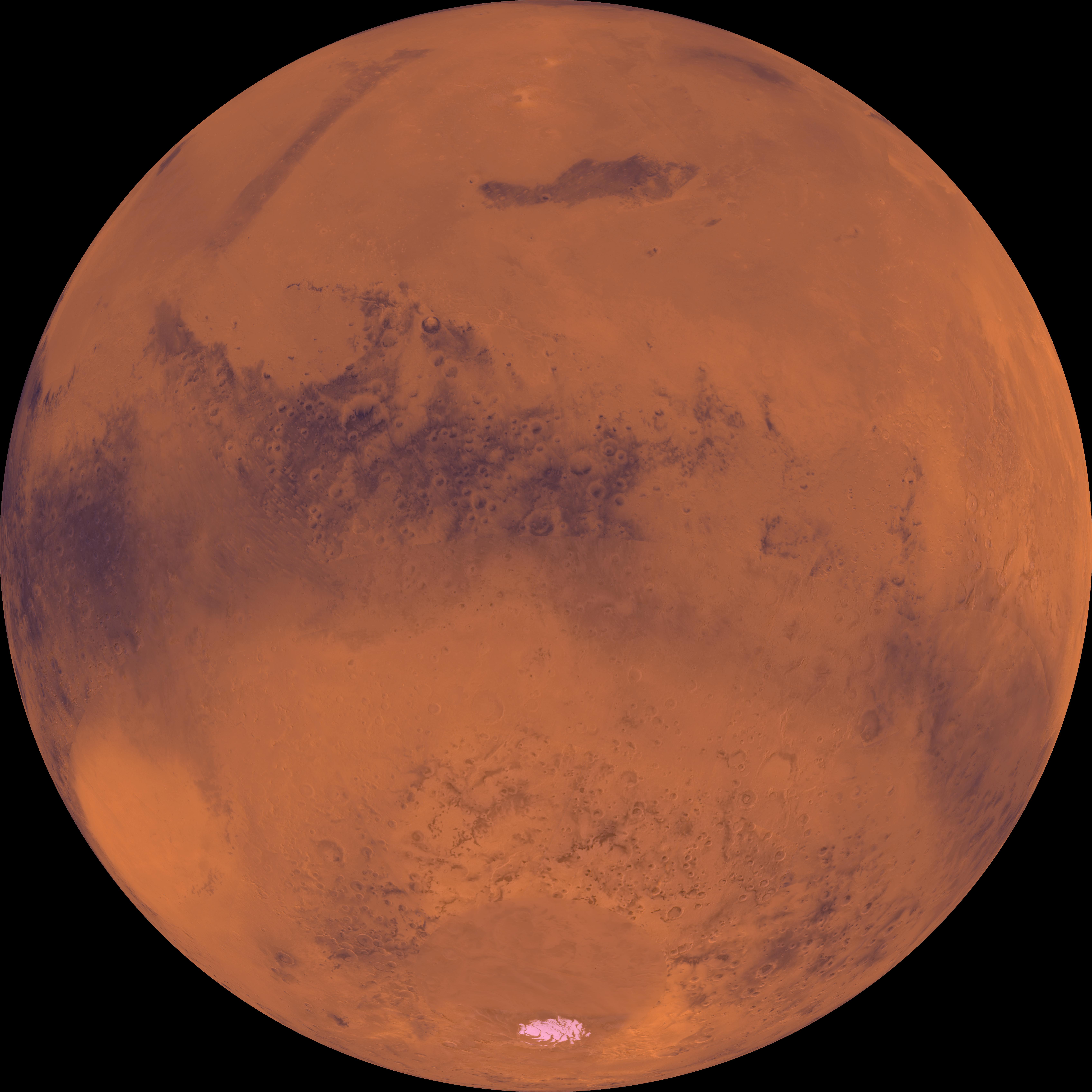
1998-06-05 | Mars |
Viking |
Visual Imaging Subsystem - Camera A |
7170x4991x3 |
|
|||||
|
|
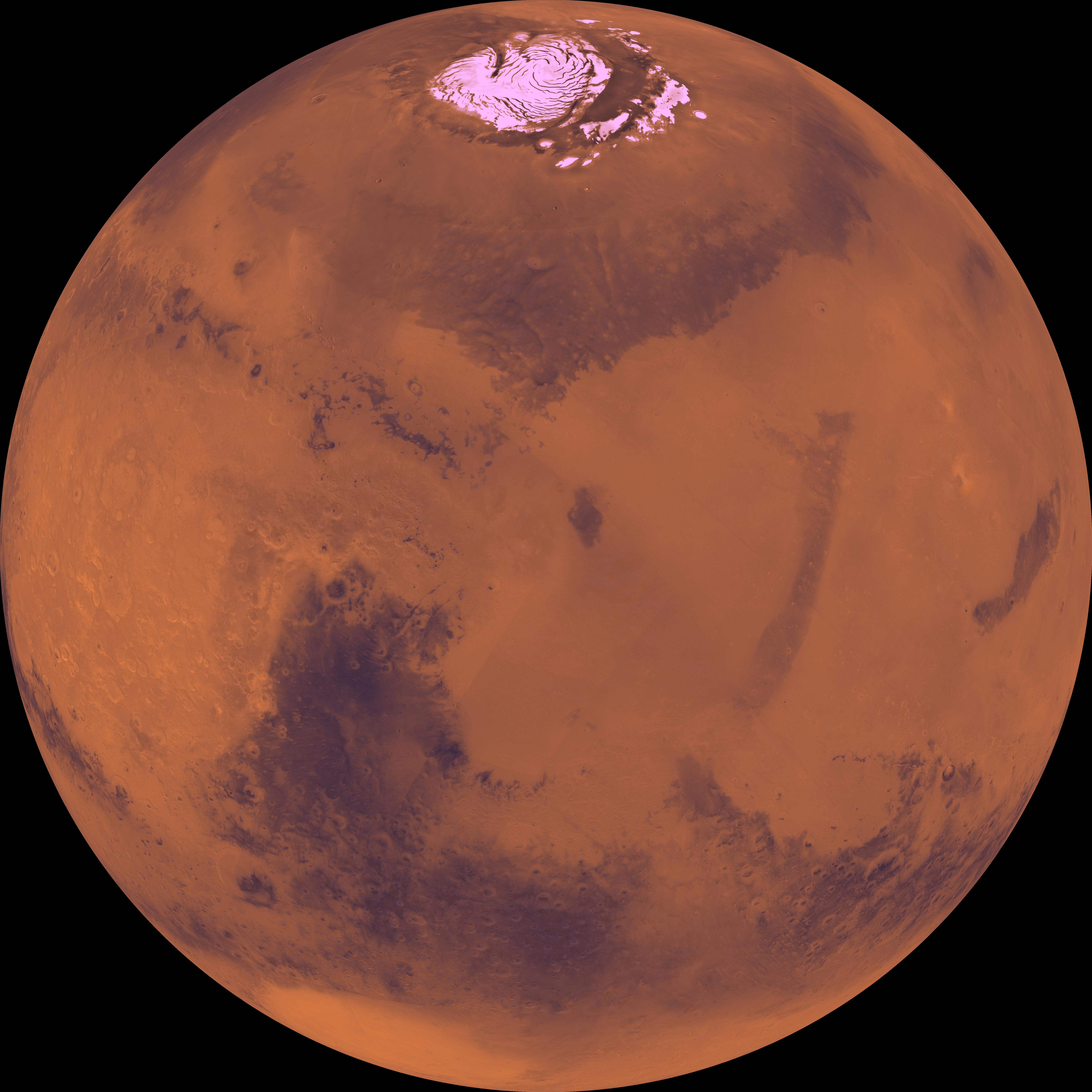
1998-06-05 | Mars |
Viking |
Visual Imaging Subsystem - Camera A |
6994x5029x3 |
|
|||||
|
|
1998-06-05 | Mars |
Viking |
Visual Imaging Subsystem - Camera A |
6994x5029x3 |
|
|||||
|
|
1998-06-05 | Mars |
Viking |
Visual Imaging Subsystem - Camera A |
6994x5029x3 |
|
|||||
|
|
1998-06-05 | Mars |
Viking |
Visual Imaging Subsystem - Camera A |
6994x5029x3 |
|
|||||
|
|
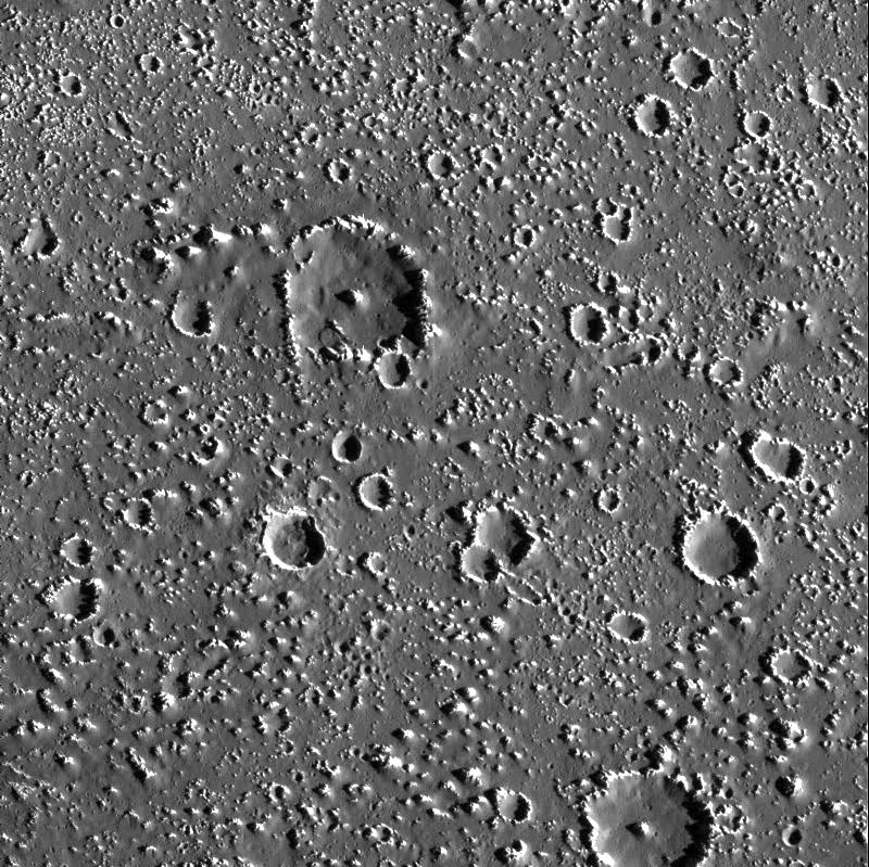
1998-06-08 | Mars |
Viking |
Visual Imaging Subsystem - Camera A |
6787x6787x3 |
|
|||||
|
|
1998-06-08 | Mars |
Viking |
Visual Imaging Subsystem - Camera A |
6398x6398x3 |

|
|||||
|
|
1998-06-08 | Mars |
Viking |
Visual Imaging Subsystem - Camera A |
6787x6787x3 |
|
|||||
|
|
1998-06-08 | Mars |
Viking |
Visual Imaging Subsystem - Camera A |
6787x6787x3 |
|
|||||
|
|
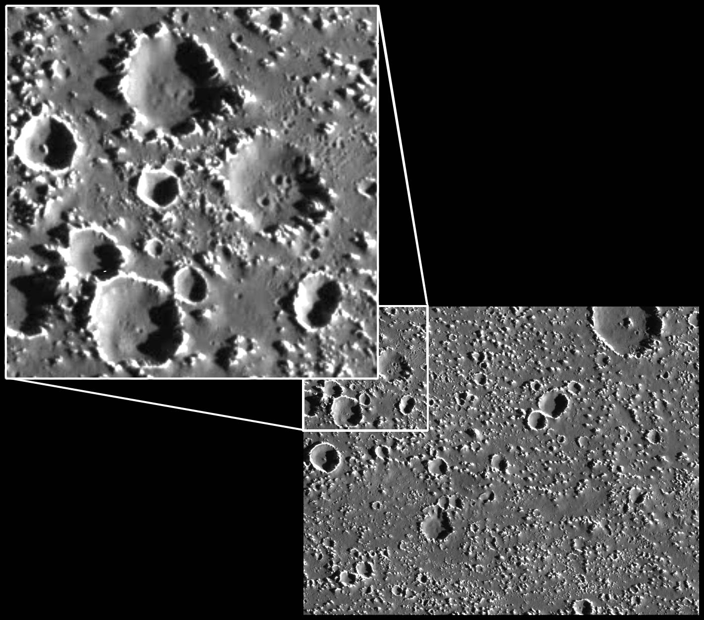
1998-06-08 | Moon |
Galileo |
3053x3053x3 | |
|
|||||
|
|
1998-06-08 | Moon |
Galileo |
1986x1986x3 | |

|
|||||
|
|
1998-06-08 | Mars |
Viking |
Visual Imaging Subsystem - Camera B |
6035x6580x3 |

|
|||||
|
|
1998-06-08 | Mars |
Viking |
6787x6787x3 | |
|
|||||
|
|
1998-06-08 | Mars |
Viking |
1438x973x3 | |
|
|||||
|
|
1998-06-08 | Mars |
Viking |
1109x952x3 | |
|
|||||
|
|
1998-06-08 | Mars |
Viking |
1264x632x3 | |
|
|||||
|
|
1998-06-08 | Mars |
Viking |
1265x2696x3 | |
|
|
|||||
|
|
1998-06-08 | Mars |
Viking |
8292x6485x3 | |

|
|||||
|
|
1998-06-08 | Mars |
Viking |
2962x2741x3 | |
|
|||||
|
|
1998-06-08 | Mars |
Viking |
6002x6388x3 | |
|
|||||
|
|
1998-06-08 | Mars |
Viking |
318x981x3 | |
|
|
|||||
|
|
1998-06-08 | Mars |
Viking |
3220x1956x3 | |
|
|||||
|
|
1998-06-08 | Mars |
Viking |
Visual Imaging Subsystem - Camera B |
5367x5053x3 |
|
|||||
|
|
1998-06-08 | Mars |
Viking |
3194x2769x3 | |
|
|||||
|
|
1998-06-08 | Mars |
Viking |
14000x6800x3 | |
|
|||||
|
|
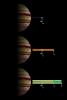
1998-06-10 | Jupiter |
Galileo |
Solid-State Imaging |
900x900x3 |
|
|||||
|
|
1998-06-10 | Jupiter |
Galileo |
Solid-State Imaging |
900x950x3 |

|
|||||
|
|
1998-06-10 | Jupiter |
Galileo |
Solid-State Imaging |
900x950x3 |
|
|||||
|
|
1998-06-10 | Jupiter |
Galileo |
Solid-State Imaging |
900x900x3 |
|
|||||
|
|
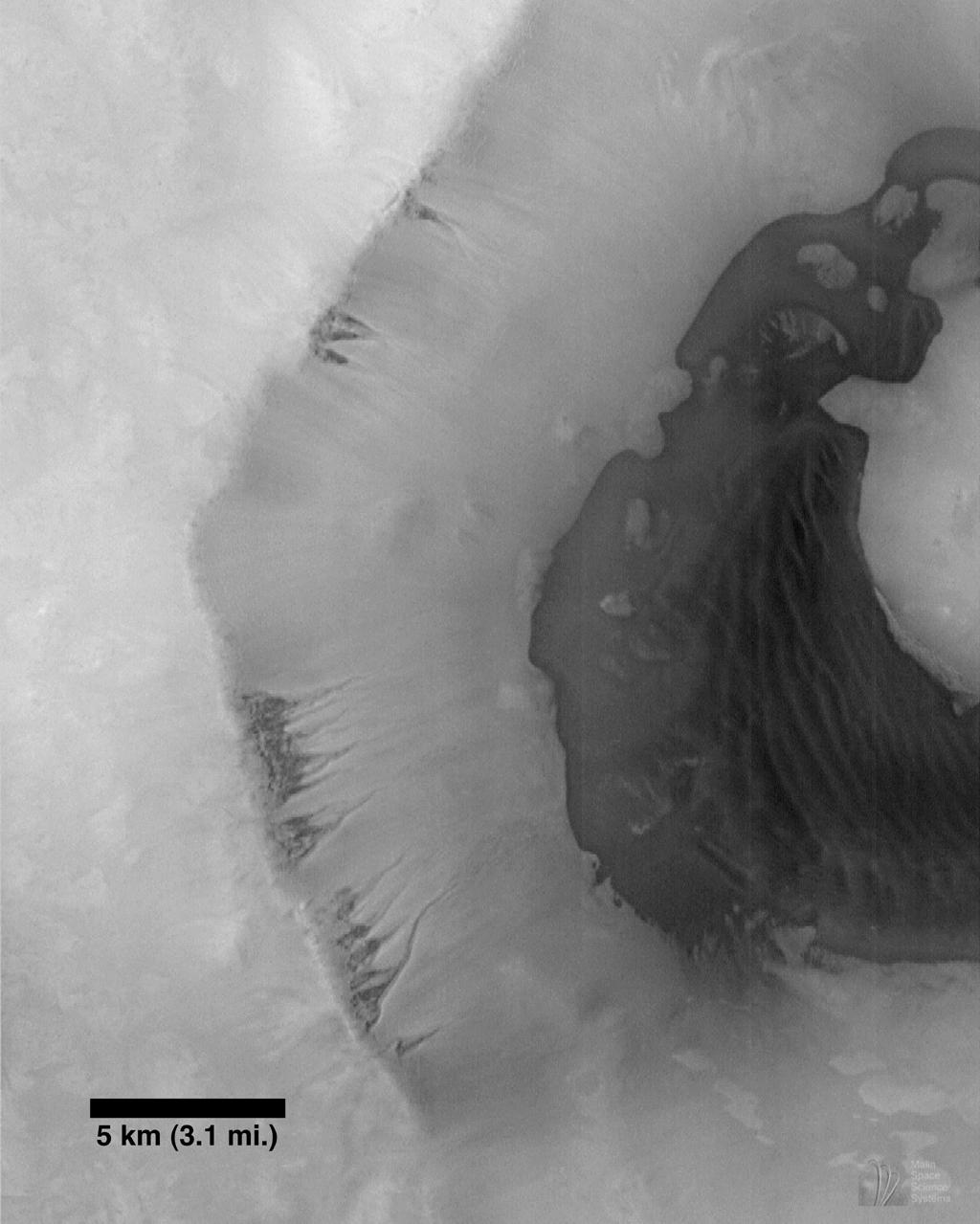
1998-06-15 | Mars |
Mars Global Surveyor (MGS) |
Mars Orbiter Camera (MOC) |
800x800x1 |

|
|||||
|
|
1998-06-15 | Mars |
Mars Global Surveyor (MGS) |
Mars Orbiter Camera (MOC) |
624x864x3 |
|
|||||
|
|
1998-06-15 | Mars |
Mars Global Surveyor (MGS) |
Mars Orbiter Camera (MOC) |
1024x1279x1 |
|
|||||
|
|
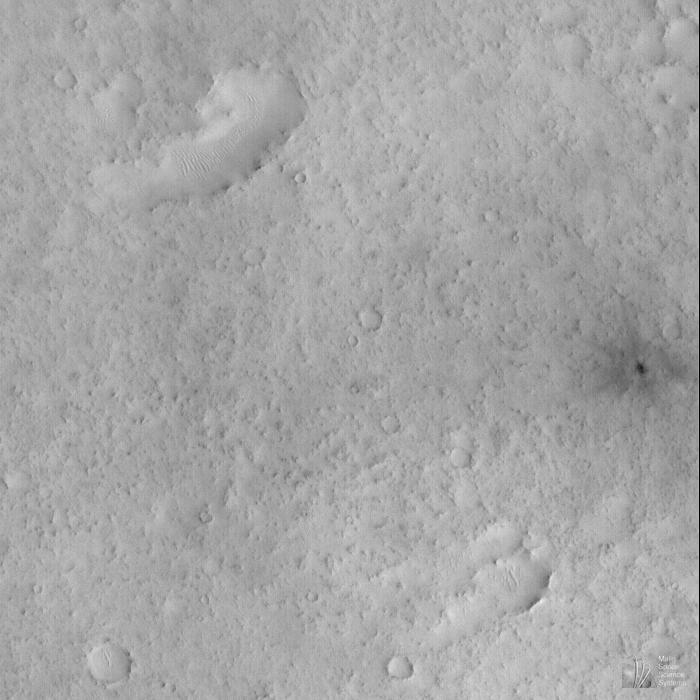
1998-06-15 | Mars |
Mars Global Surveyor (MGS) |
Mars Orbiter Camera (MOC) |
700x700x1 |
|
|||||
|
|
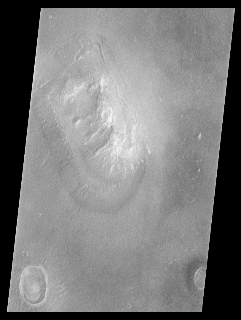
1998-07-03 | Mars |
Mars Global Surveyor (MGS) |
Mars Orbiter Camera (MOC) |
813x1078x1 |
|
|||||
|
|
1998-07-03 | Mars |
Mars Global Surveyor (MGS) |
Mars Orbiter Camera (MOC) |
815x1072x1 |
|
|||||
|
|
1998-07-03 | Mars |
Mars Global Surveyor (MGS) |
Mars Orbiter Camera (MOC) |
1600x500x1 |
|
|||||
|
|
1998-07-03 | Mars |
Mars Global Surveyor (MGS) |
Mars Orbiter Camera (MOC) |
800x800x3 |
|
|||||
|
|
1998-07-03 | Mars |
Mars Global Surveyor (MGS) |
Mars Orbiter Camera (MOC) |
1024x2816x1 |
|
|
|||||
|
|
1998-07-03 | Mars |
Mars Global Surveyor (MGS) |
Mars Orbiter Camera (MOC) |
512x512x1 |
|
|||||
|
|
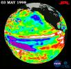
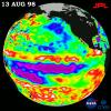
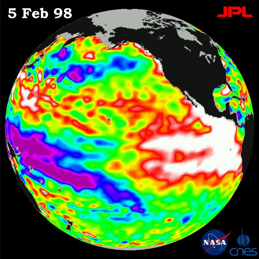
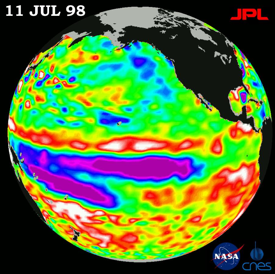
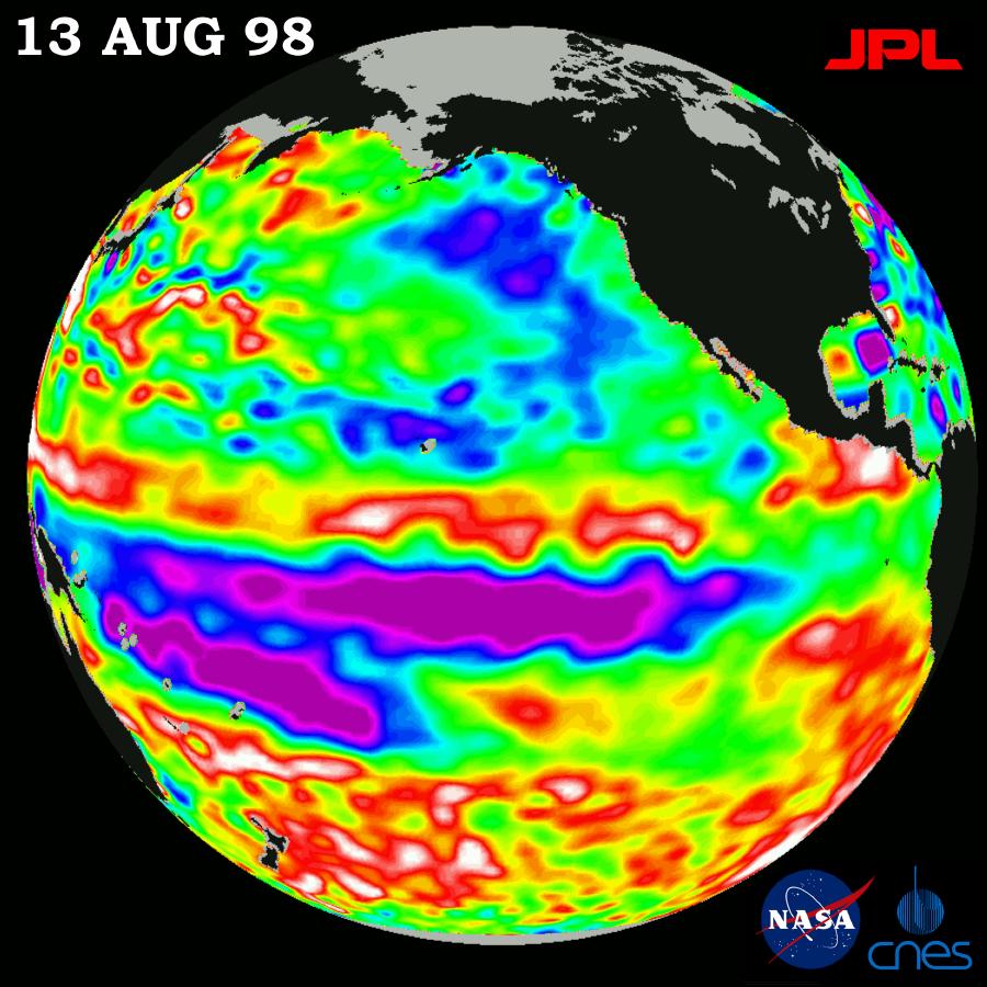
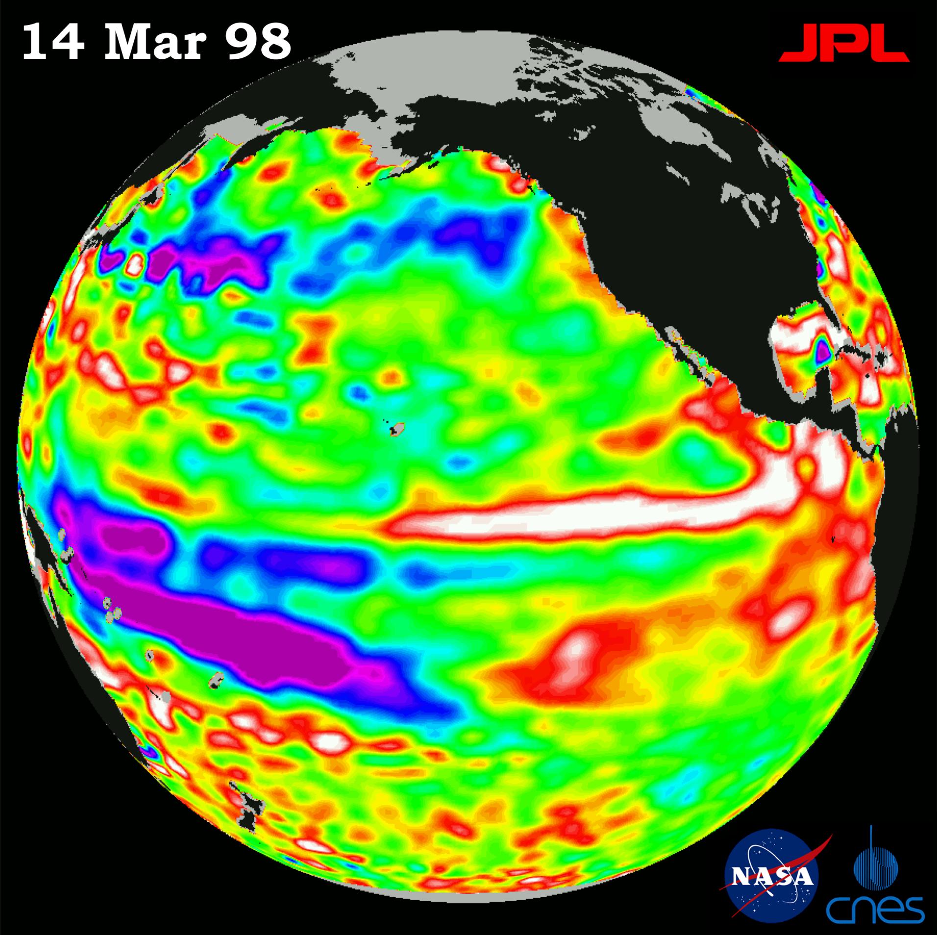
1998-07-03 | Earth |
TOPEX/Poseidon |
Altimeter |
923x900x3 |
|
|||||
|
|
1998-07-03 | Earth |
TOPEX/Poseidon |
Altimeter |
900x900x3 |
|
|||||
|
|
1998-07-03 | Earth |
TOPEX/Poseidon |
Altimeter |
901x900x3 |
|
|||||
|
|
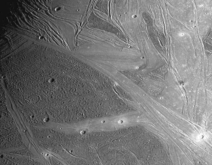
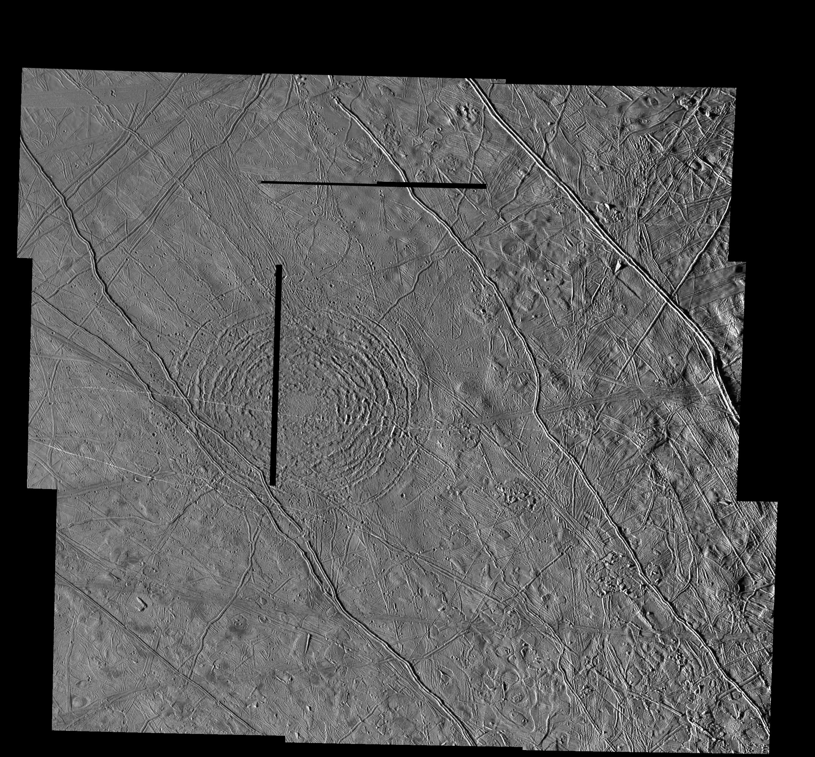
1998-07-15 | Ganymede |
Galileo |
Solid-State Imaging |
392x398x1 |
|
|||||
|
|
1998-07-15 | Ganymede |
Galileo |
Solid-State Imaging |
813x753x1 |
|
|||||
|
|
1998-07-15 | Ganymede |
Galileo |
Solid-State Imaging |
392x398x1 |
|
|||||
|
|
1998-07-15 | Ganymede |
Galileo |
Solid-State Imaging |
692x480x3 |
|
|||||
|
|
1998-07-15 | Ganymede |
Galileo |
Solid-State Imaging |
615x519x1 |

|
|||||
|
|
1998-07-15 | Ganymede |
Galileo |
Solid-State Imaging |
506x360x1 |

|
|||||
|
|
1998-07-15 | Ganymede |
Galileo |
Solid-State Imaging |
797x798x1 |
|
|||||
|
|
1998-07-15 | Ganymede |
Galileo |
Solid-State Imaging |
706x551x1 |
|
|||||
|
|
1998-07-15 | Ganymede |
Galileo |
Solid-State Imaging |
790x1413x1 |

|
|||||
|
|
1998-07-20 | Mars |
Mars Global Surveyor (MGS) |
Mars Orbiter Camera (MOC) |
256x3040x1 |
|
|
|||||
|
|
1998-07-20 | Mars |
Mars Global Surveyor (MGS) |
Mars Orbiter Camera (MOC) |
1027x987x3 |
|
|||||
|
|
1998-07-21 | Earth |
TOPEX/Poseidon |
Altimeter |
902x900x3 |
|
|||||
|
|
1998-07-31 | Mars |
Mars Global Surveyor (MGS) |
Mars Orbiter Camera (MOC) |
560x730x1 |
|
|||||
|
|
1998-08-03 | Ganymede |
Galileo |
Solid-State Imaging |
800x800x3 |
|
|||||
|
|
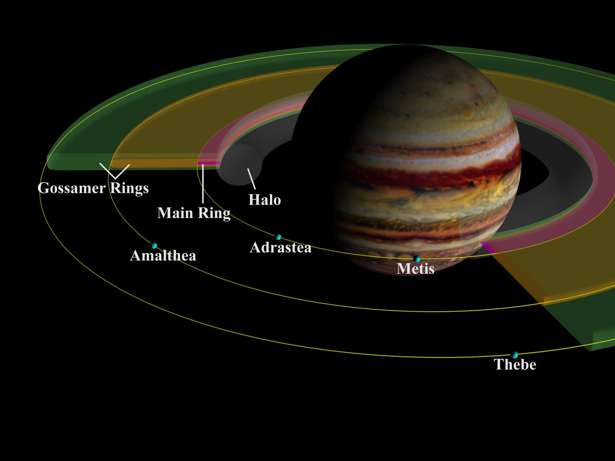
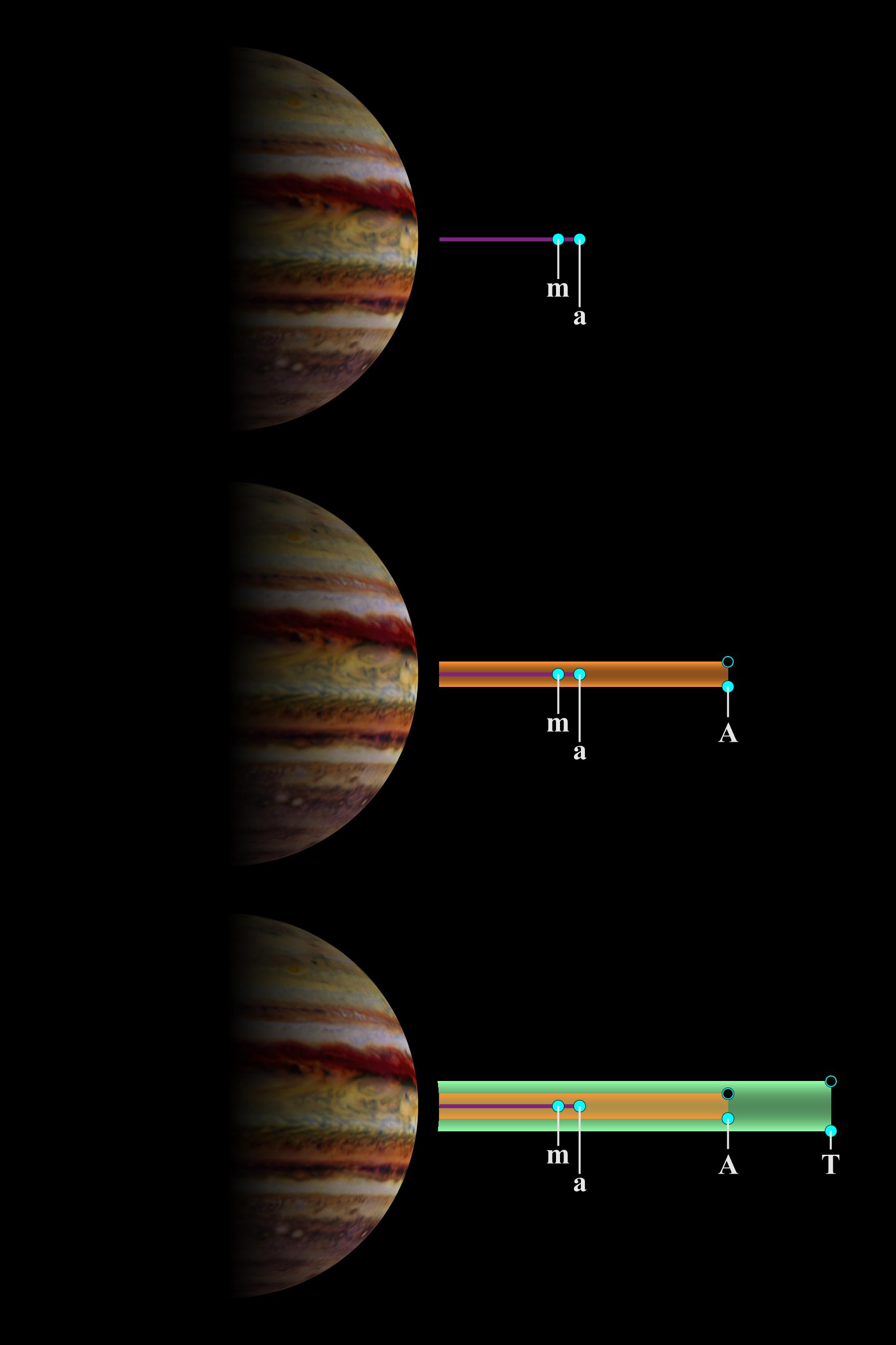
1998-09-15 | Amalthea |
Galileo |
Solid-State Imaging |
1539x1066x1 |
|
|||||
|
|
1998-09-15 | Amalthea |
Galileo |
Solid-State Imaging |
1539x802x1 |
|
|||||
|
|
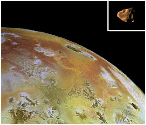
1998-09-15 | Io |
Galileo |
Solid-State Imaging |
471x404x3 |
|
|||||
|
|
1998-09-15 | J Rings |
Galileo |
Solid-State Imaging |
2560x1920x3 |
|
|||||
|
|
1998-09-15 | J Rings |
Galileo |
Solid-State Imaging |
1800x2700x3 |
|
|||||
|
|
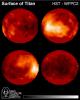
1998-09-26 | Titan |
Hubble Space Telescope |
WFPC2 |
600x750x3 |
|
|||||
|
|
1998-09-26 | Earth |
TOPEX/Poseidon |
Altimeter |
900x900x3 |
|
|||||
|
|
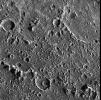
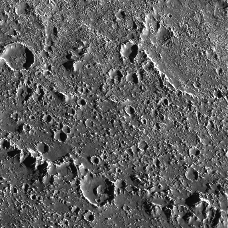
1998-10-13 | Callisto |
Galileo |
800x799x1 | |
|
|||||
|
|
1998-10-13 | Callisto |
Galileo |
Solid-State Imaging |
1422x1252x1 |
|
|||||
|
|
1998-10-13 | Callisto |
Galileo |
Solid-State Imaging |
800x799x1 |
|
|||||
|
|
1998-10-13 | Europa |
Galileo |
Solid-State Imaging |
2686x2494x1 |
|
|||||
|
|
1998-10-13 | Oberon |
Voyager |
VG ISS - Narrow Angle |
1500x1500x1 |
|
|||||
|
|
1998-11-04 | Earth |
TOPEX/Poseidon |
Altimeter |
1912x1908x3 |
|
|||||
|
|
1998-11-08 | Dione |
Voyager |
VG ISS - Narrow Angle |
500x500x1 |
|
|||||
|
|
1998-11-13 | Rhea |
Voyager |
VG ISS - Narrow Angle |
200x200x1 |
|
|||||
|
|
1998-11-13 | Dione |
Voyager |
VG ISS - Narrow Angle |
600x450x1 |
|
|||||
|
|
1998-11-13 | Miranda |
Voyager |
VG ISS - Narrow Angle |
800x800x1 |
|
|||||
|
|
1998-12-05 | Ariel |
Voyager |
VG ISS - Narrow Angle |
1275x1275x1 |
|
|||||
|
|
1998-12-05 | Ariel |
Voyager |
VG ISS - Narrow Angle |
512x512x1 |
|
|||||
|
|
1998-12-07 | Callisto |
Galileo |
Solid-State Imaging |
1152x884x3 |
|
|||||
|
|
1998-12-07 | Callisto |
Galileo |
Solid-State Imaging |
1152x884x3 |
|
|||||
|
|
1998-12-07 | Europa |
Galileo |
Solid-State Imaging |
2476x1988x1 |
|
|||||
|
|
1998-12-07 | Europa |
Galileo |
Solid-State Imaging |
1152x626x3 |
|
|||||
|
|
1998-12-10 | Mars |
Mars Global Surveyor (MGS) |
Mars Orbiter Camera (MOC) |
512x1223x1 |
|
|
|||||
|
|
1999-01-06 | Tethys |
Voyager |
VG ISS - Narrow Angle |
900x2100x1 |
|
|
|||||
|
|
1999-01-18 | Europa |
Galileo |
Solid-State Imaging |
988x900x1 |
|
|||||
|
|
1999-01-18 | Europa |
Galileo |
Solid-State Imaging |
700x540x1 |

|
|||||
|
|
1999-01-18 | Europa |
Galileo |
Solid-State Imaging |
1050x520x3 |
|
|||||
|
|
1999-01-27 | Earth |
Spaceborne Imaging Radar-C/X-Band Synthetic Aperture Radar |
376x828x3 | |
|
|
|||||
|
|
1999-02-06 | Ganymede |
Voyager |
VG ISS - Narrow Angle |
740x730x3 |
|
|||||
|
|
1999-02-06 | Ganymede |
Voyager |
VG ISS - Narrow Angle |
816x870x3 |
|
|||||
|
|
1999-02-08 | Europa |
Voyager |
VG ISS - Narrow Angle |
790x790x1 |
|
|||||
|
|
1999-02-08 | Europa |
Voyager |
VG ISS - Narrow Angle |
864x922x1 |

|
|||||
|
|
1999-02-19 | Mars |
Mars Global Surveyor (MGS) |
Mars Orbiter Camera (MOC) |
1024x1280x1 |
|
|||||
|
|
1999-03-13 | Io |
Voyager |
VG ISS - Narrow Angle |
783x930x3 |
|
|||||
|
|
1999-03-13 | Ganymede |
Voyager |
VG ISS - Narrow Angle |
830x650x3 |
|
|||||
|
|
1999-03-13 | Ganymede |
Voyager |
VG ISS - Narrow Angle |
875x905x3 |
|
|||||
|
|
1999-03-13 | Ganymede |
Voyager |
VG ISS - Narrow Angle |
860x901x3 |
|
|||||

|
 |
|
 |
 |
|
|
|
|
|
|

|
| 1-100 | 101-200 | 201-300 | 301-400 | 401-500 | 501-600 | 601-700 | 701-800 | 801-900 | 901-1000 |
| Currently displaying images: 201 - 300 of 3149 |