Your search criteria found
12748
images
Target is Mars (and available satellites)
Go to PIAxxxxx:
Refine this list of images by:
Target:
Deimos
Mars
Phobos
Mission:
2001 Mars Odyssey
Antarctic Meteorite Location and Mapping Project (AMLAMP)
Dawn
ExoMars
Hubble Space Telescope
InSight
MAVEN
Mariner Mars 1964 (Mariner 4)
Mariner Mars 1969 (Mariner 7)
Mariner Mars 1971 (Mariner 9)
Mars 2020
Mars 2020 Rover
Mars Atmosphere and Volatile Evolution MissioN (MAVEN)
Mars Climate Orbiter
Mars Cube One (MarCO)
Mars Exploration Rover (MER)
Mars Express (MEX)
Mars Global Surveyor (MGS)
Mars Helicopter
Mars Pathfinder (MPF)
Mars Reconnaissance Orbiter (MRO)
Mars Sample Return
Mars Sample Return (MSR)
Mars Science Laboratory (MSL)
Phoenix
Rosetta
Viking
Spacecraft:
2001 Mars Odyssey
Curiosity
Dawn
InSight Mars Lander
Ingenuity
MAVEN
MarCO-B
Mariner 4
Mariner 7
Mariner 9
Mars Climate Orbiter
Mars Express (MEX)
Mars Express (MEX) Orbiter
Mars Global Surveyor Orbiter
Mars Pathfinder Lander
Mars Pathfinder Rover
Mars Reconnaissance Orbiter (MRO)
Mars Sample Return
Mars Science Laboratory (MSL)
NASA's Mars Pathfinder Lander
Opportunity
Perseverance
Philae Lander
Phoenix Lander
Phoenix Mars Lander
Spirit
Viking Lander 1
Viking Lander 2
Viking Orbiter 1
Viking Orbiter 2
Instrument:
Alpha Particle X-ray Spectrometer
Alpha Particle X-ray Spectrometer (MSL)
Atmospheric Structure / Meteorology Instrument
CHIMRA
Camera 1
Camera 2
Chemistry & Mineralogy (CheMin)
Chemistry and Camera (ChemCam)
Comet Infrared and Visible Analyser (CIVA
Compact Reconnaissance Imaging Spectrometer for Mars (CRISM)
Context Camera (CTX)
Deep Space Network
Descent Image Motion Estimation System (DIMES)
Dynamic Albedo of Neutrons
Dynamic Albedo of Neutrons (DAN)
Gamma Ray Spectrometer - Neutron Spectrometer
Gamma Ray Spectrometer Suite
Hazard Avoidance Camera
Hazard Avoidance Camera (M2020)
Hazard Avoidance Camera (MSL)
Heat and Physical Properties Package (HP3)
High Resolution Imaging Science Experiment (HiRISE)
High Resolution Instrument (HRI)
High Resolution Stereo Camera
Imager for Mars Pathfinder
Imaging Ultraviolet Spectrograph
Imaging Ultraviolet Spectrograph (IUVS)
Instrument Context Camera (ICC)
Instrument Deployment Camera (IDC)
Lander Vision System Camera (LCAM)
Magnetometer
Mars Advanced Radar for Subsurface and Ionosphere Sounding (MARSIS)
Mars Advanced Radar for Subsurface and Ionospheric Sounding (MARSIS)
Mars Climate Sounder (MCS)
Mars Color Imager (MARCI)
Mars Descent Imager
Mars Environmental Dynamics Analyzer (MEDA)
Mars Hand Lens Imager (MAHLI)
Mars Horizon Sensor Assembly
Mars Orbiter Camera (MOC)
Mars Orbiter Laser Altimeter
Mars Radiation Experiment
Mastcam
Mastcam-Z
Microscopic Imager
Microscopy Electrochemistry and Conductivity Analyzer (MECA)
Miniature Thermal Emission Spectrometer
Moessbauer Spectrometer
Navigation Camera
Navigation Camera (M2020)
Navigation Camera (MSL)
Neutral Gas and Ion Mass Spectrometer
Neutron Spectrometer
Optical Microscope
Optical Navigation Camera
Panoramic Camera
Planetary Instrument for X-ray Lithochemistry (PIXL)
Radar System
Radiation Assessment Detector (RAD)
Radio Science Subsystem
Robotic Arm
Robotic Arm (MSL)
Robotic Arm Camera (RAC)
Rock Abrasion Tool (RAT)
Rover Cameras
Rover Environmental Monitoring Station (REMS)
Sample Analysis at Mars (SAM)
Scanning Habitable Environments with Raman & Luminescence for Organics and Chemicals (SHERLOC)
Seismic Experiment for Interior Structure (SEIS)
Shallow Subsurface Radar (SHARAD)
Stereo Imager (SSI)
SuperCam
Surface Stereo Imager (SSI)
Thermal Emission Imaging System
Thermal Emission Spectrometer
Thermal and Electrical Conductivity Probe
Thermal and Evolved Gas Analyzer
Trace Gas Orbiter
Visual Imaging Subsystem
Visual Imaging Subsystem - Camera A
Visual Imaging Subsystem - Camera B
Wide Field Planetary Camera 2
Click on an image for detailed information
Click on a column heading to sort in ascending or descending order
My
List
Addition Date
Target
Mission
Instrument
Size
2004-10-13
Mars
Mars Global Surveyor (MGS)
Mars Orbiter Camera (MOC)
672x1008x1
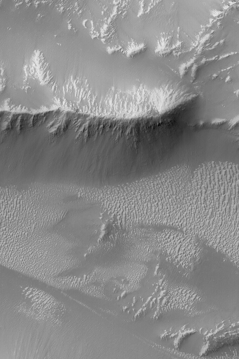
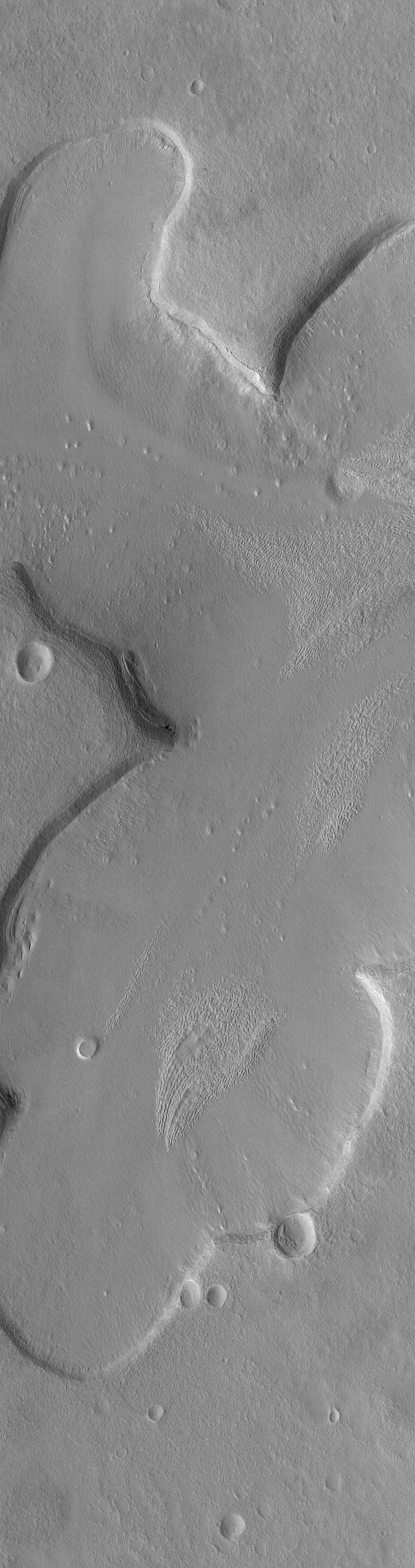
PIA06935:
The Flows of Olympus
Full Resolution:
TIFF
(678.3 kB)
JPEG
(159.8 kB)
2004-10-14
Mars
Mars Global Surveyor (MGS)
Mars Orbiter Camera (MOC)
672x1008x1
PIA06940:
Light Dust Devil Tracks
Full Resolution:
TIFF
(518 kB)
JPEG
(74.52 kB)
2004-10-14
Mars
2001 Mars Odyssey
THEMIS
320x3600x1
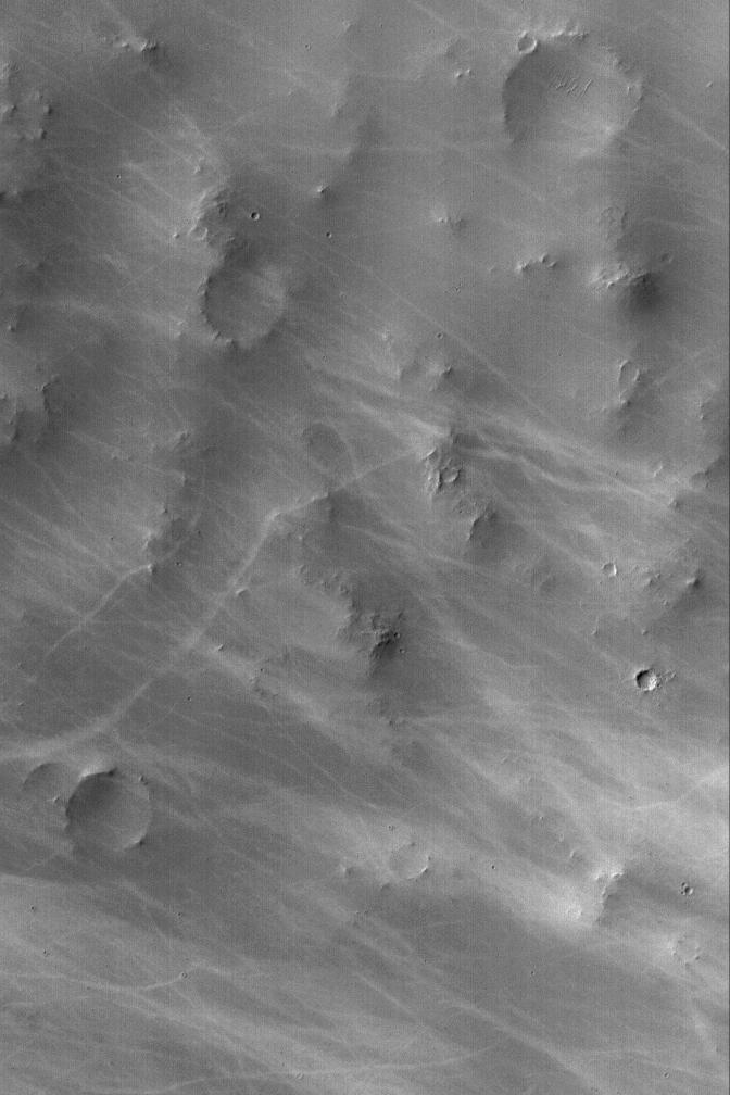
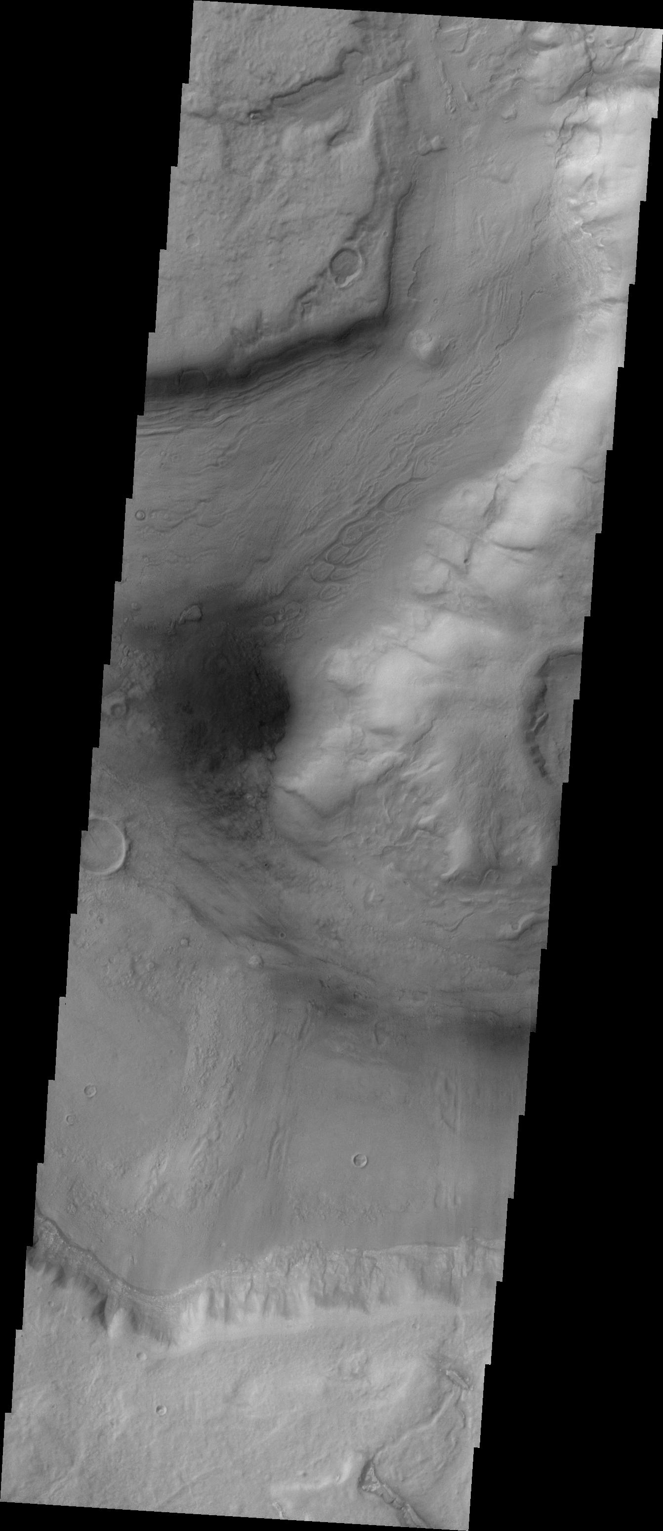
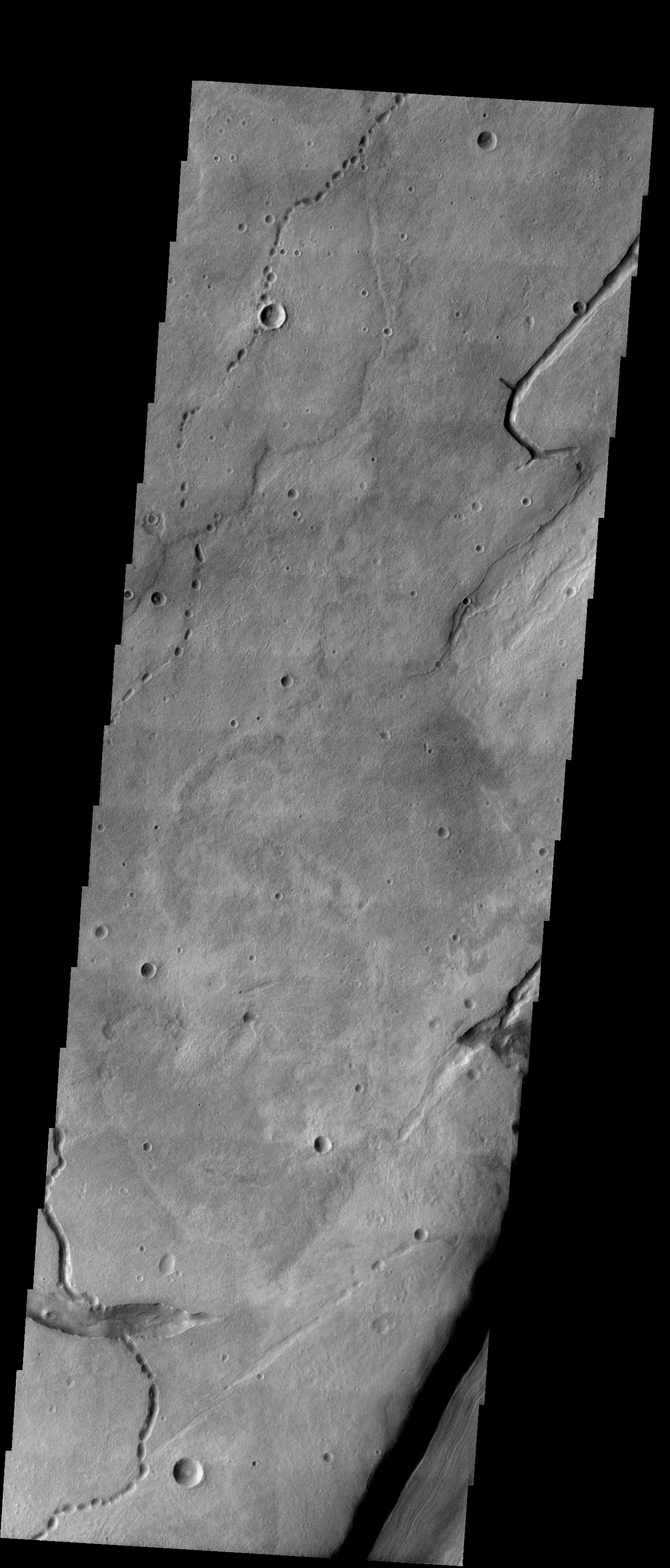
PIA06946:
Tyrrhena Patera
Full Resolution:
TIFF
(1.153 MB)
JPEG
(229.7 kB)
2004-10-14
Mars
Mars Exploration Rover (MER)
Microscopic Imager
4523x1648x1
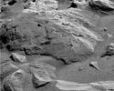
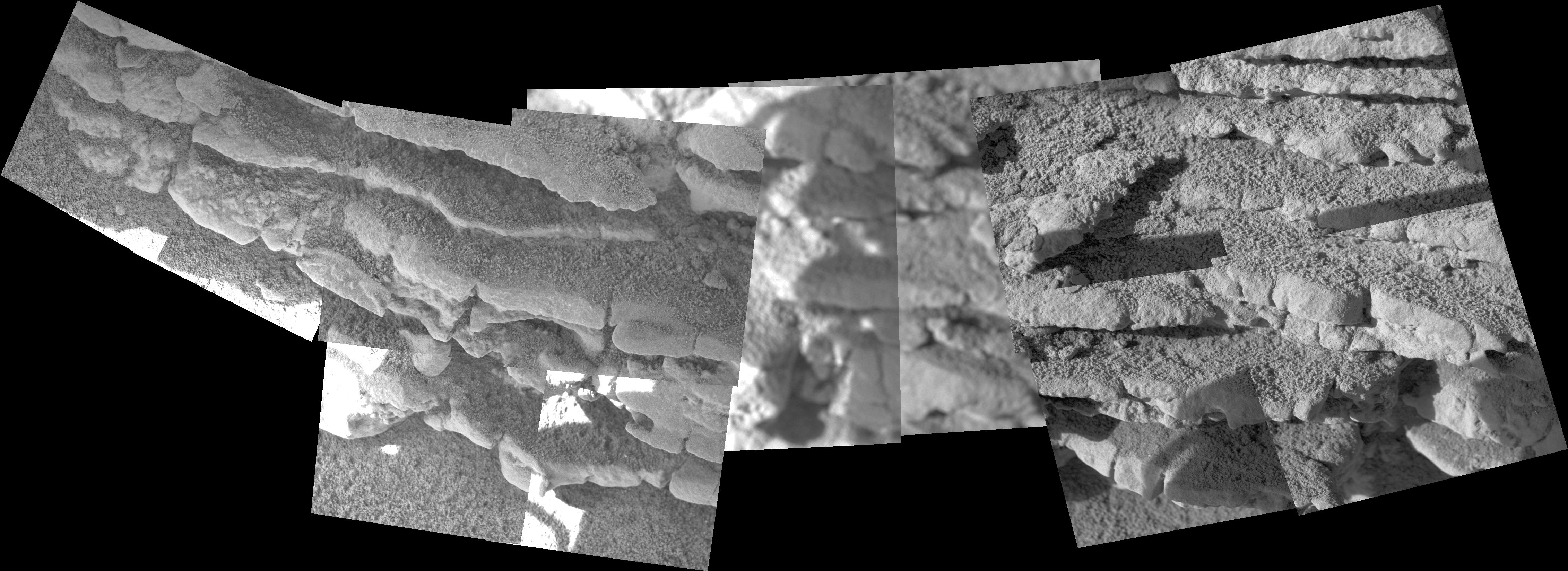
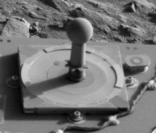
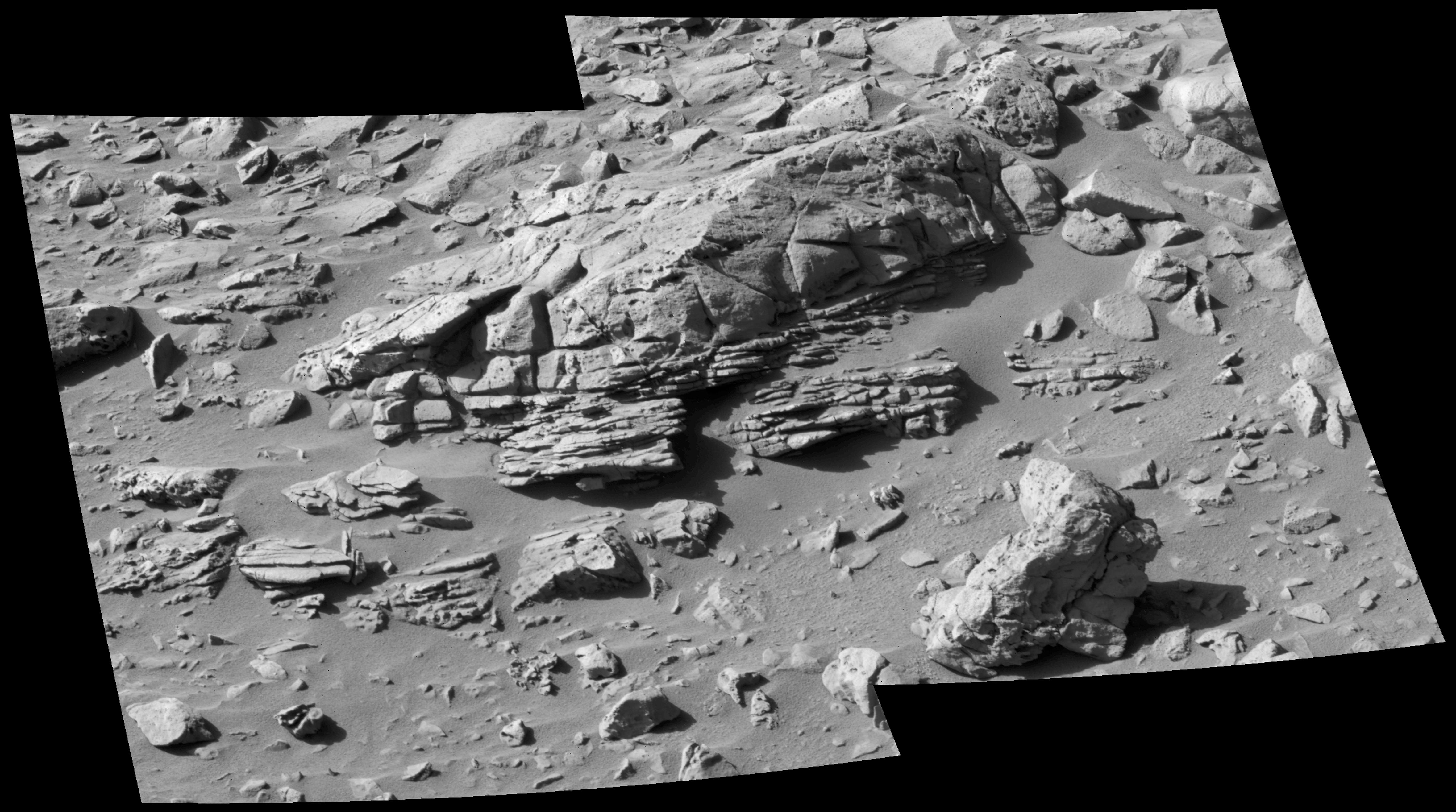
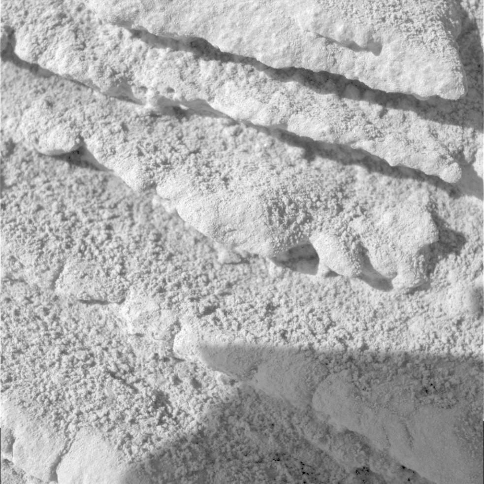
PIA06936:
Layered Outcrops in Gusev Crater
Full Resolution:
TIFF
(5.015 MB)
JPEG
(831.4 kB)
2004-10-14
Mars
Mars Exploration Rover (MER)
Panoramic Camera
1024x1024x3
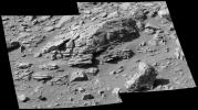
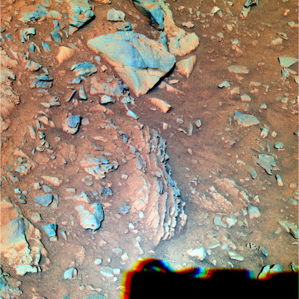
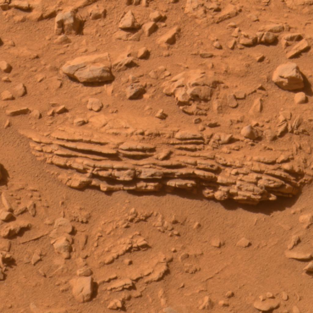
PIA06937:
Layered Outcrops in Gusev Crater (False Color)
Full Resolution:
TIFF
(3.15 MB)
JPEG
(226.4 kB)
2004-10-14
Mars
Mars Exploration Rover (MER)
Panoramic Camera
1024x1024x3
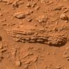
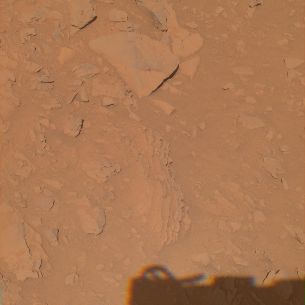
PIA06938:
Layered Outcrops in Gusev Crater
Full Resolution:
TIFF
(2.363 MB)
JPEG
(70.57 kB)
2004-10-15
Mars
Mars Global Surveyor (MGS)
Mars Orbiter Camera (MOC)
836x3332x1
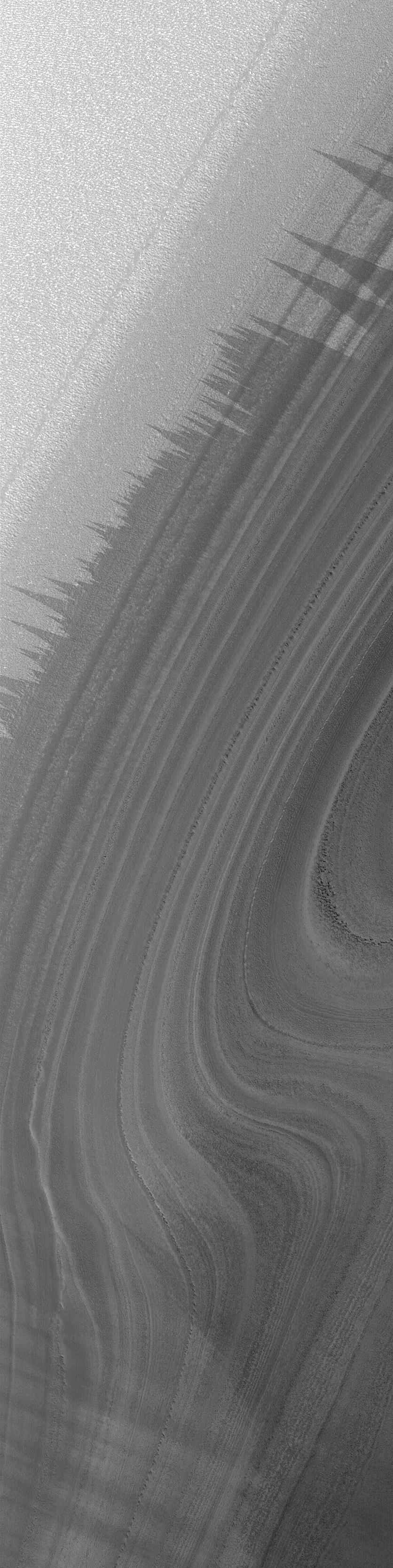
PIA06941:
North Polar Layers in Summer
Full Resolution:
TIFF
(2.789 MB)
JPEG
(478.2 kB)
2004-10-15
Mars
2001 Mars Odyssey
THEMIS
2255x2965x3
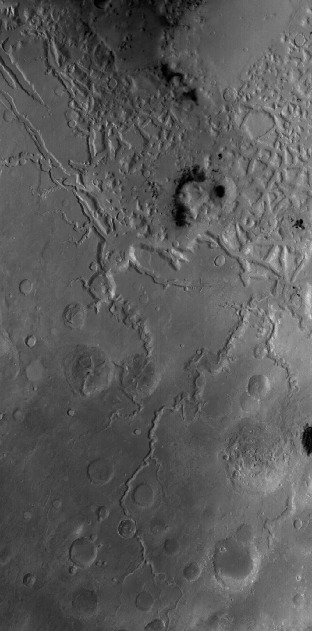
PIA06947:
Tyrrhena Patera Mosaic
Full Resolution:
TIFF
(18.59 MB)
JPEG
(1.252 MB)
2004-10-16
Mars
Mars Global Surveyor (MGS)
Mars Orbiter Camera (MOC)
836x1254x1
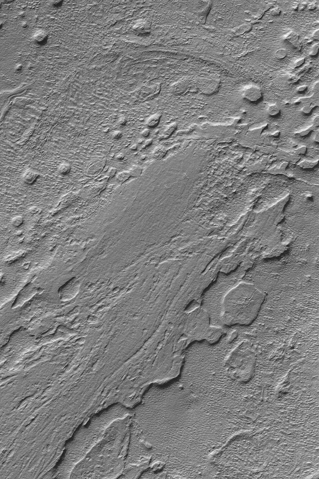
PIA06942:
Outcrops In Aram Chaos
Full Resolution:
TIFF
(1.05 MB)
JPEG
(207.3 kB)
2004-10-17
Mars
Mars Global Surveyor (MGS)
Mars Orbiter Camera (MOC)
836x1254x1
PIA06943:
Valles Marineris Features
Full Resolution:
TIFF
(1.05 MB)
JPEG
(162.6 kB)
2004-10-18
Mars
Mars Global Surveyor (MGS)
Mars Orbiter Camera (MOC)
1024x1536x1
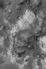
PIA06944:
Hellas Planitia
Full Resolution:
TIFF
(1.575 MB)
JPEG
(453.8 kB)
2004-10-18
Mars
2001 Mars Odyssey
THEMIS
1342x3095x1
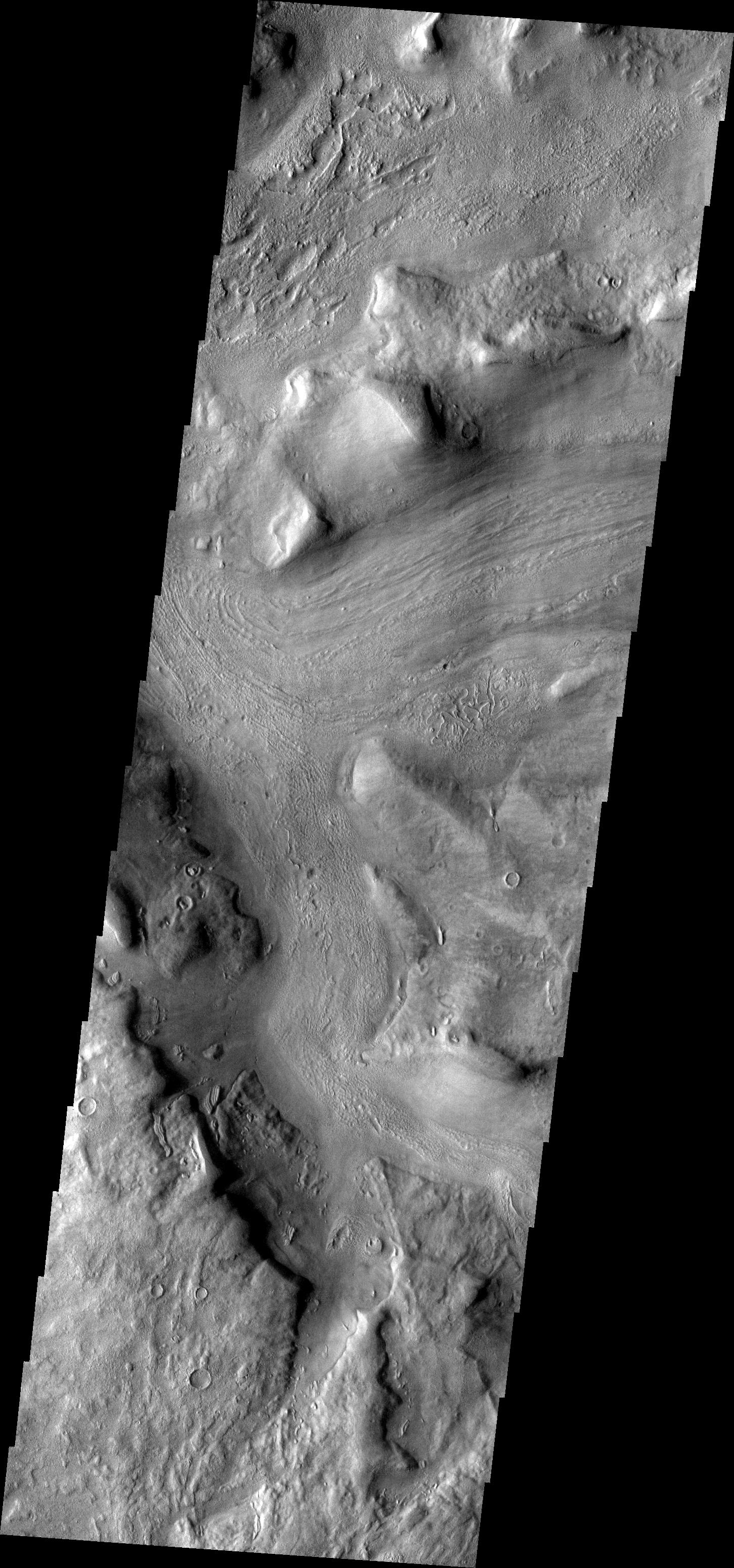
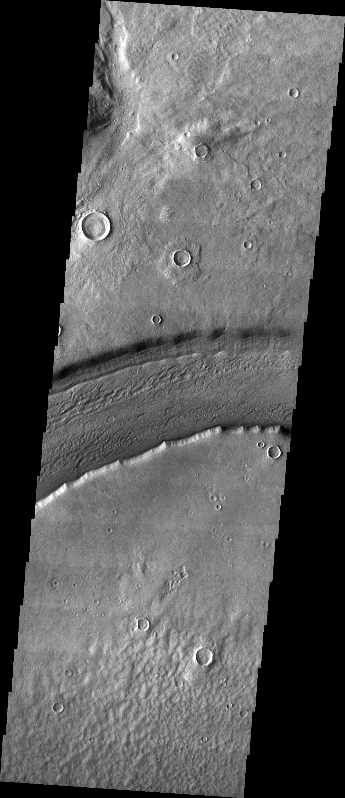
PIA06948:
Reull Vallis
Full Resolution:
TIFF
(2.832 MB)
JPEG
(282.5 kB)
2004-10-18
Mars
Mars Exploration Rover (MER)
Navigation Camera
924x1024x3
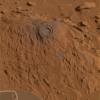
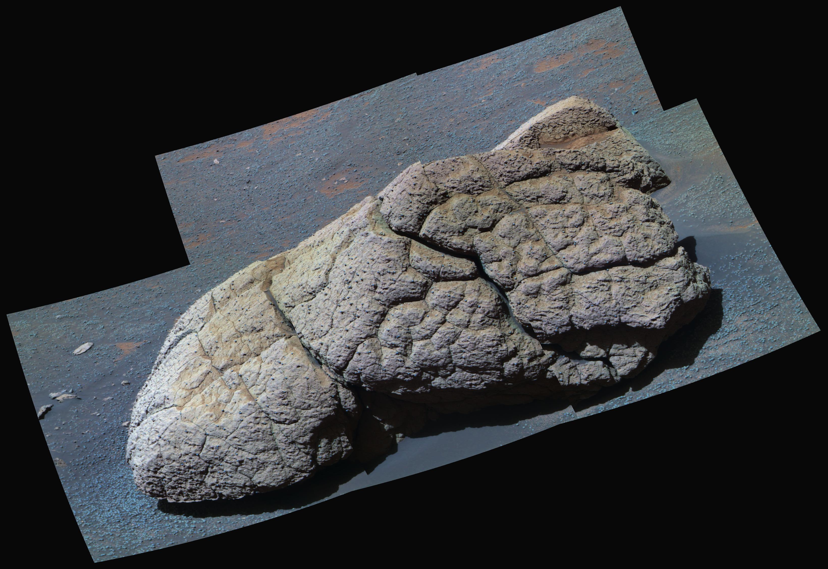
PIA06949:
Wonderful Wopmay
Full Resolution:
TIFF
(2.236 MB)
JPEG
(121.4 kB)
2004-10-19
Mars
Mars Global Surveyor (MGS)
Mars Orbiter Camera (MOC)
835x1252x1
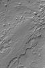
PIA06950:
Fretted Terrain Craters
Full Resolution:
TIFF
(1.047 MB)
JPEG
(238.1 kB)
2004-10-19
Mars
2001 Mars Odyssey
THEMIS
1336x3096x1
PIA06951:
Reull Vallis
Full Resolution:
TIFF
(3.003 MB)
JPEG
(407.4 kB)
2004-10-20
Mars
Mars Exploration Rover (MER)
Navigation Camera
7466x1771x1
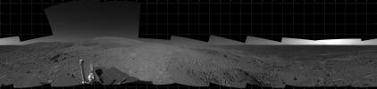
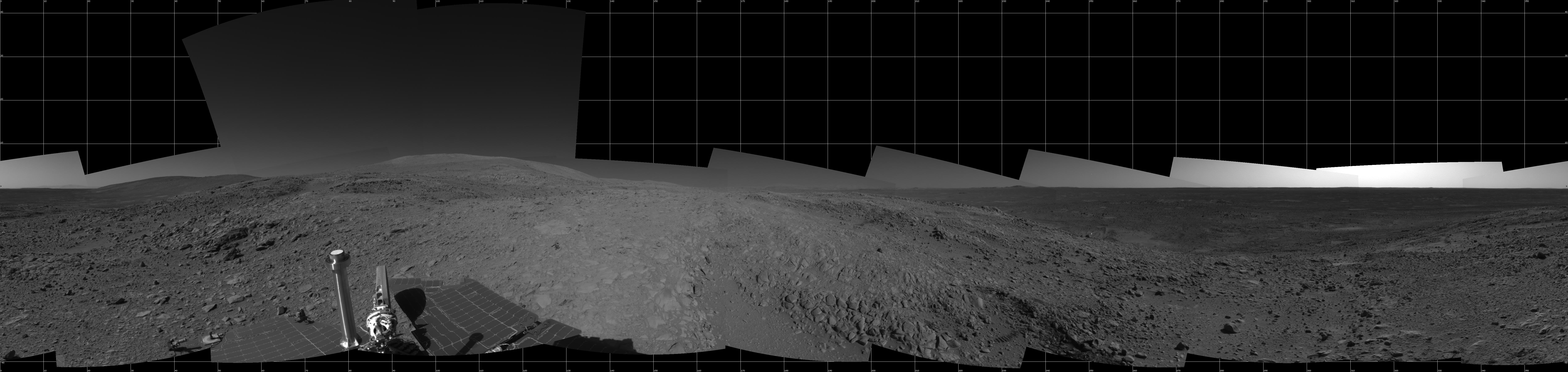
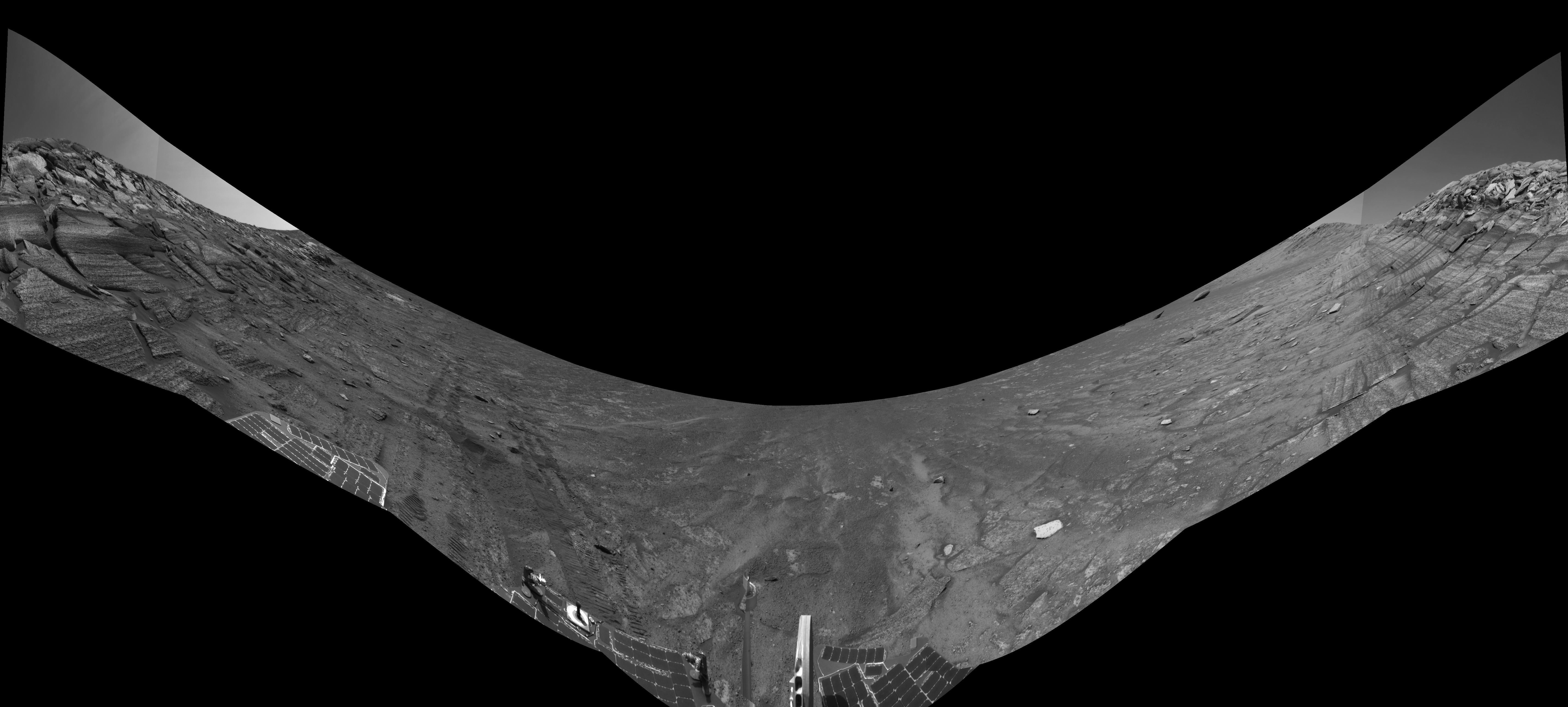
PIA06952:
Full-Circle View from Near 'Tetl'
Full Resolution:
TIFF
(6.571 MB)
JPEG
(1.036 MB)
2004-10-20
Mars
Mars Exploration Rover (MER)
Navigation Camera
7704x2542x3
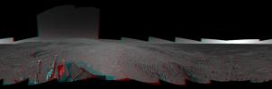
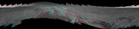
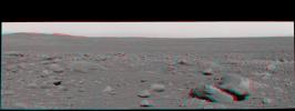
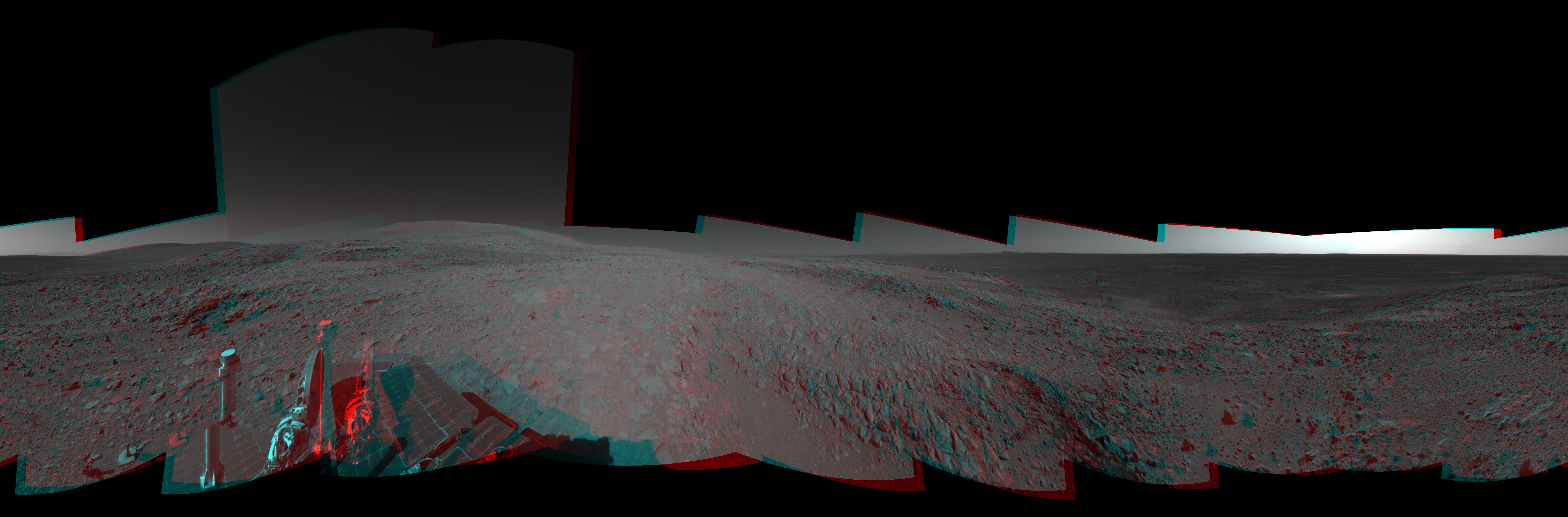
PIA06953:
Full-Circle View from Near 'Tetl' (3-D)
Full Resolution:
TIFF
(23.94 MB)
JPEG
(1.299 MB)
2004-10-20
Mars
Mars Exploration Rover (MER)
Navigation Camera
5517x5517x1
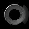
PIA06954:
Full-Circle View from Near 'Tetl' (Polar)
Full Resolution:
TIFF
(9.927 MB)
JPEG
(1.307 MB)
2004-10-20
Mars
Mars Global Surveyor (MGS)
Navigation Camera
4000x4000x1
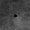
PIA06955:
Full-Circle View from Near 'Tetl' (Vertical)
Full Resolution:
TIFF
(11.74 MB)
JPEG
(1.417 MB)
2004-10-20
Mars
Mars Global Surveyor (MGS)
Mars Orbiter Camera (MOC)
1024x2072x1
PIA06956:
Fretted Terrain
Full Resolution:
TIFF
(1.9 MB)
JPEG
(194.2 kB)
2004-10-20
Mars
2001 Mars Odyssey
THEMIS
1451x3100x1
PIA06957:
Reull Vallis
Full Resolution:
TIFF
(3.451 MB)
JPEG
(602.2 kB)
2004-10-21
Mars
Mars Global Surveyor (MGS)
Mars Orbiter Camera (MOC)
836x1254x1
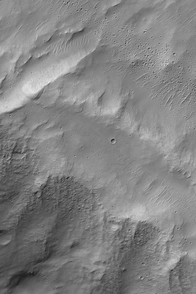
PIA06958:
Degraded Crater
Full Resolution:
TIFF
(1.05 MB)
JPEG
(253.9 kB)
2004-10-21
Mars
Mars Exploration Rover (MER)
Panoramic Camera
3200x683x3
PIA06959:
'Columbia Hills' in Stereo
Full Resolution:
TIFF
(3.661 MB)
JPEG
(268.7 kB)
2004-10-21
Mars
Mars Exploration Rover (MER)
Panoramic Camera
26244x6500x3
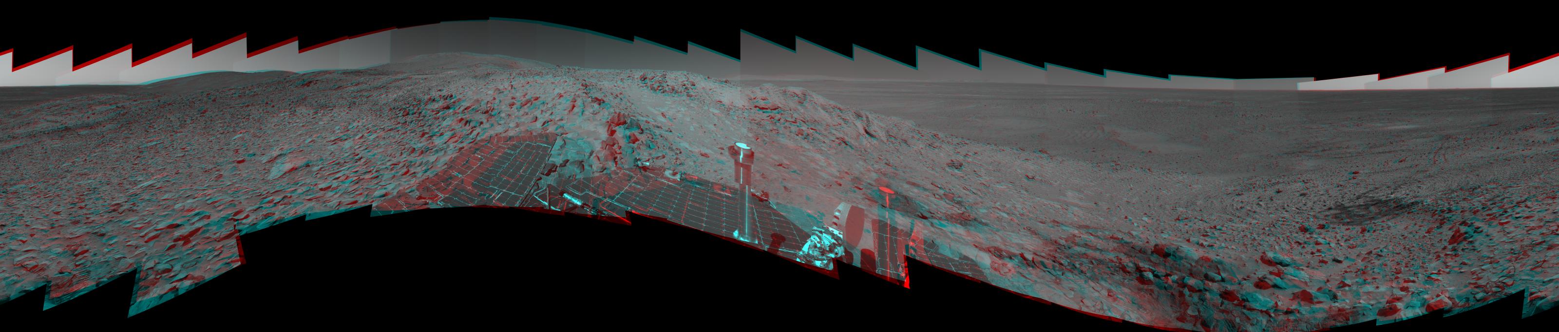
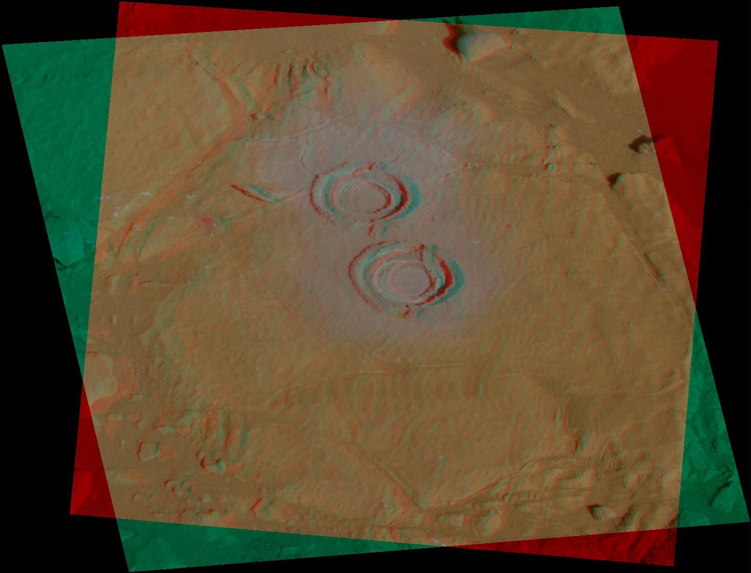
PIA06960:
True 3-D View of 'Columbia Hills' from an Angle
Full Resolution:
TIFF
(264.4 MB)
JPEG
(12.17 MB)
2004-10-21
Mars
Mars Exploration Rover (MER)
Panoramic Camera
2762x1350x3
PIA06961:
A Rocky Rim Around 'Bonneville' in 3-D
Full Resolution:
TIFF
(5.922 MB)
JPEG
(322.1 kB)
2004-10-21
Mars
Mars Exploration Rover (MER)
Panoramic Camera
3452x1300x3
PIA06962:
Eyeing the Drive Ahead After 'Bonneville' (3-D)
Full Resolution:
TIFF
(7.477 MB)
JPEG
(408.8 kB)
2004-10-22
Mars
Mars Global Surveyor (MGS)
Mars Orbiter Camera (MOC)
672x1008x1
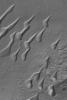
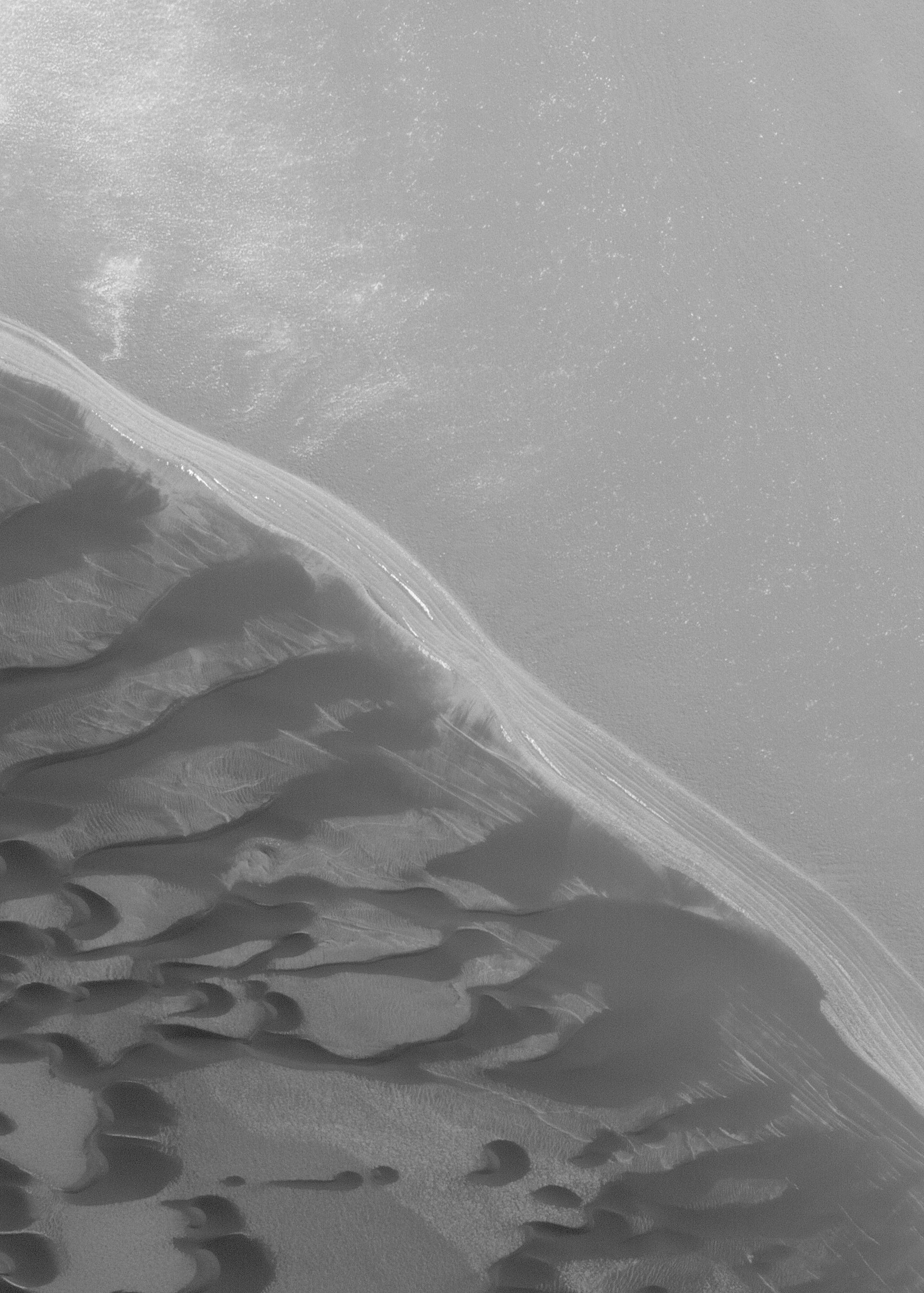
PIA06963:
Mid-latitude Dune Field
Full Resolution:
TIFF
(544.9 kB)
JPEG
(78.45 kB)
2004-10-23
Mars
Mars Global Surveyor (MGS)
Mars Orbiter Camera (MOC)
512x1313x1
PIA06964:
Arsinoes Chaos Landforms
Full Resolution:
TIFF
(650.5 kB)
JPEG
(98.17 kB)
2004-10-24
Mars
Mars Global Surveyor (MGS)
Mars Orbiter Camera (MOC)
836x3181x1
PIA06965:
Alba Patera Valleys
Full Resolution:
TIFF
(2.662 MB)
JPEG
(776.2 kB)
2004-10-25
Mars
Mars Global Surveyor (MGS)
Mars Orbiter Camera (MOC)
672x1008x1
PIA06966:
Sinus Sabaeus Scene
Full Resolution:
TIFF
(678.3 kB)
JPEG
(107.3 kB)
2004-10-25
Mars
2001 Mars Odyssey
THEMIS
1519x3098x1
PIA06967:
Reull Vallis
Full Resolution:
TIFF
(3.374 MB)
JPEG
(622.6 kB)
2004-10-25
Mars
2001 Mars Odyssey
THEMIS
1340x3100x1
PIA06968:
Reull Vallis
Full Resolution:
TIFF
(3.24 MB)
JPEG
(504.1 kB)
2004-10-25
Mars
2001 Mars Odyssey
THEMIS
535x1210x1
PIA06969:
North Polar Cap
Full Resolution:
TIFF
(619.5 kB)
JPEG
(58.43 kB)
2004-10-26
Mars
Mars Global Surveyor (MGS)
Mars Orbiter Camera (MOC)
512x922x1
PIA06972:
Autumn in Argyre
Full Resolution:
TIFF
(472.8 kB)
JPEG
(111 kB)
2004-10-26
Mars
2001 Mars Odyssey
THEMIS
554x1035x1
PIA07010:
North Polar Cap
Full Resolution:
TIFF
(531.9 kB)
JPEG
(37.72 kB)
2004-10-27
Mars
Mars Global Surveyor (MGS)
Mars Orbiter Camera (MOC)
1200x1800x1
PIA06973:
Arnus Vallis
Full Resolution:
TIFF
(2.009 MB)
JPEG
(302.2 kB)
2004-10-27
Mars
2001 Mars Odyssey
THEMIS
553x1310x1
PIA07011:
North Polar Cap
Full Resolution:
TIFF
(679.9 kB)
JPEG
(48.02 kB)
2004-10-28
Mars
Mars Global Surveyor (MGS)
Mars Orbiter Camera (MOC)
1296x1944x1
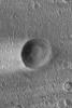
PIA06974:
Crater in Arabia
Full Resolution:
TIFF
(2.522 MB)
JPEG
(523.4 kB)
2004-10-28
Mars
2001 Mars Odyssey
THEMIS
535x1309x1
PIA07012:
North Polar Cap
Full Resolution:
TIFF
(628.8 kB)
JPEG
(49.58 kB)
2004-10-29
Mars
Mars Global Surveyor (MGS)
Mars Orbiter Camera (MOC)
836x1254x1
PIA06975:
Landforms in East Candor
Full Resolution:
TIFF
(1.05 MB)
JPEG
(170 kB)
2004-10-29
Mars
2001 Mars Odyssey
THEMIS
535x1242x1
PIA07013:
North Polar Cap
Full Resolution:
TIFF
(580.3 kB)
JPEG
(43.12 kB)
2004-10-29
Mars
Mars Exploration Rover (MER)
Panoramic Camera
320x272x1
PIA06970:
Rovers Exceed 50,000 Images
Full Resolution:
TIFF
(87.36 kB)
JPEG
(12.32 kB)
2004-10-29
Mars
Mars Exploration Rover (MER)
Panoramic Camera
1461x1115x3
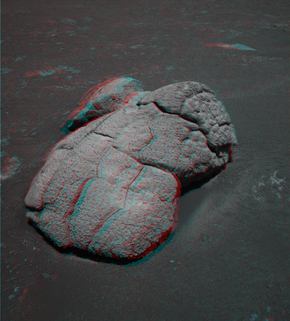
PIA06971:
'Wooly Patch' Rock in Color Stereo
Full Resolution:
TIFF
(3.714 MB)
JPEG
(117.7 kB)
2004-10-30
Mars
Mars Global Surveyor (MGS)
Mars Orbiter Camera (MOC)
836x3161x1
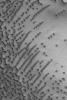
PIA06976:
Fretted Terrain Valleys
Full Resolution:
TIFF
(2.646 MB)
JPEG
(450.1 kB)
2004-10-31
Mars
Mars Global Surveyor (MGS)
Mars Orbiter Camera (MOC)
836x1598x1
PIA06977:
West Arabia Sedimentary Rocks
Full Resolution:
TIFF
(1.338 MB)
JPEG
(229.2 kB)
2004-11-01
Mars
Mars Global Surveyor (MGS)
Mars Orbiter Camera (MOC)
672x1008x1
PIA06978:
Secondary Field
Full Resolution:
TIFF
(678.3 kB)
JPEG
(118.4 kB)
2004-11-01
Mars
2001 Mars Odyssey
THEMIS
717x6599x1
PIA07014:
North Polar Cap
Full Resolution:
TIFF
(3.734 MB)
JPEG
(420.8 kB)
2004-11-02
Mars
Mars Global Surveyor (MGS)
Mars Orbiter Camera (MOC)
512x768x1
PIA06979:
Heavily Cratered Surfaces
Full Resolution:
TIFF
(393.8 kB)
JPEG
(100.4 kB)
2004-11-02
Mars
2001 Mars Odyssey
THEMIS
705x6530x1
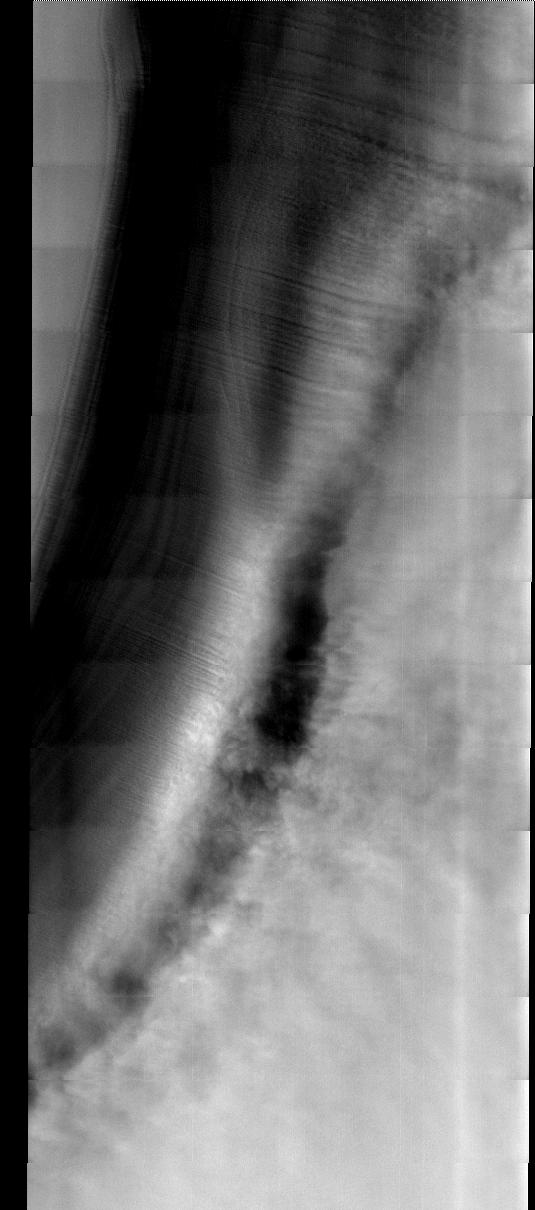
PIA07015:
Cloudy Pole
Full Resolution:
TIFF
(4.096 MB)
JPEG
(478.8 kB)
2004-11-03
Mars
Mars Global Surveyor (MGS)
Mars Orbiter Camera (MOC)
672x5345x1
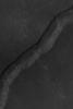
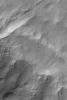
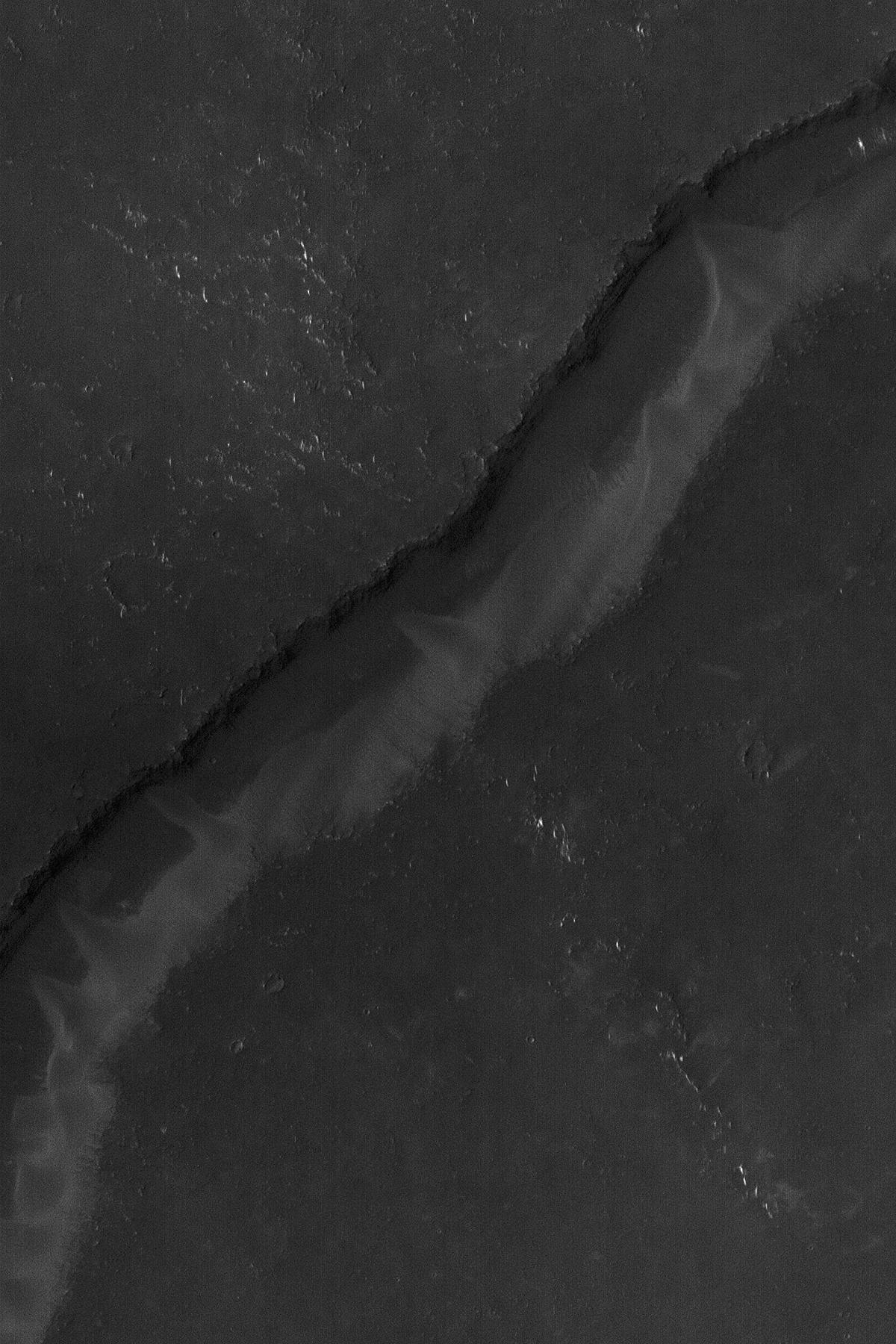
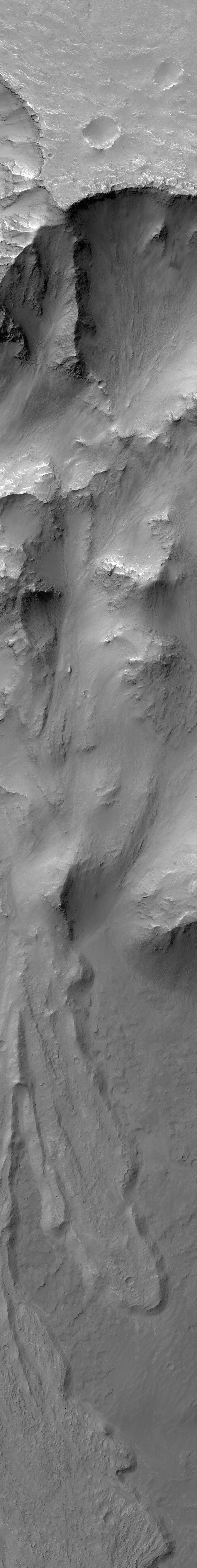
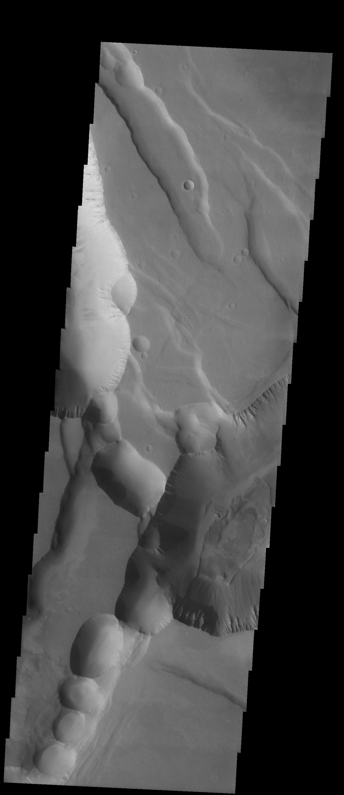
PIA07030:
Landslide in Coprates
Full Resolution:
TIFF
(3.574 MB)
JPEG
(438 kB)
2004-11-03
Mars
2001 Mars Odyssey
THEMIS
696x6498x1
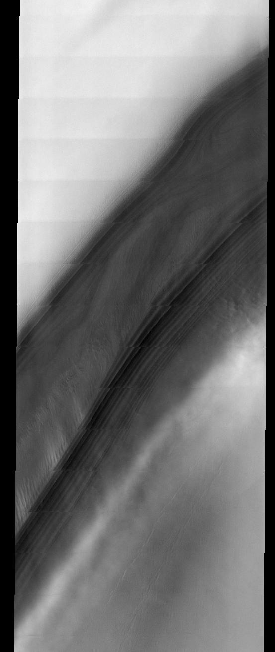
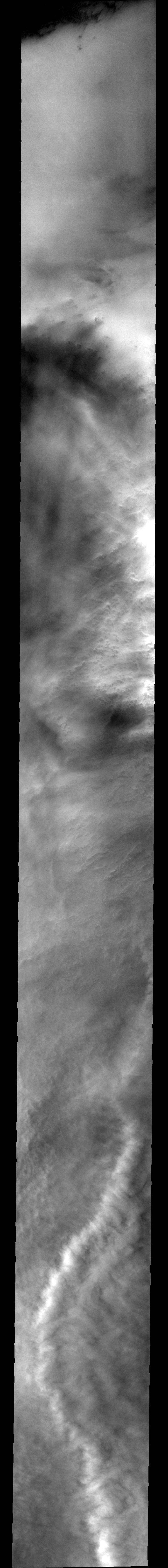
PIA07016:
Cloudy Pole
Full Resolution:
TIFF
(3.775 MB)
JPEG
(346.3 kB)
2004-11-04
Mars
Mars Global Surveyor (MGS)
Mars Orbiter Camera (MOC)
512x768x1
PIA07031:
Diacria Scene
Full Resolution:
TIFF
(393.8 kB)
JPEG
(89.65 kB)
2004-11-04
Mars
2001 Mars Odyssey
THEMIS
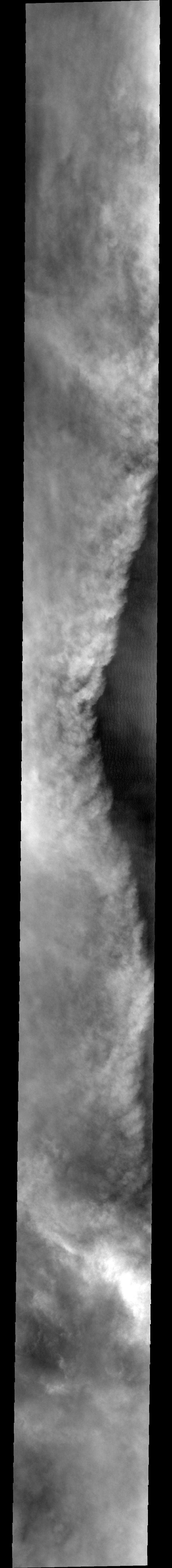
722x6578x1
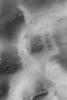
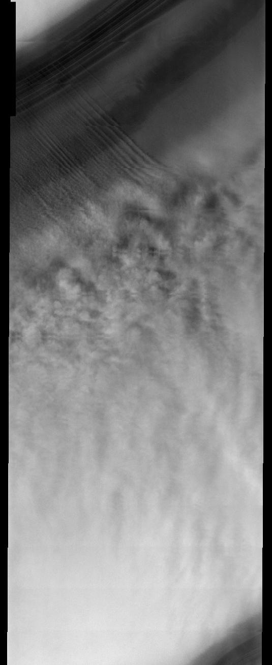
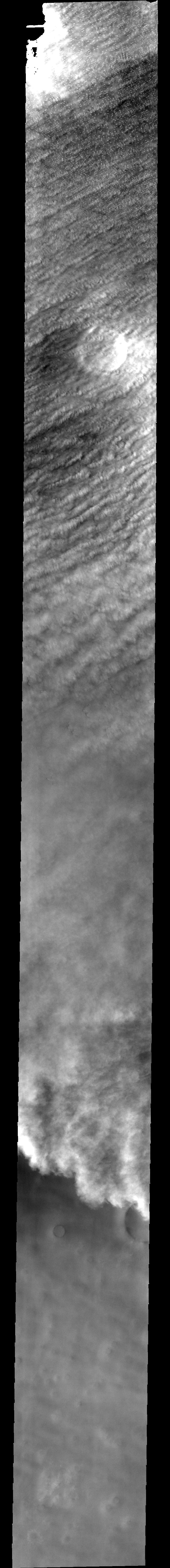
PIA07028:
Storm and Clouds
Full Resolution:
TIFF
(3.573 MB)
JPEG
(253.3 kB)
2004-11-04
Mars
Mars Exploration Rover (MER)
Panoramic Camera
2048x2048x1
PIA07017:
'Uchben' Rock
Full Resolution:
TIFF
(4.199 MB)
JPEG
(627.7 kB)
2004-11-04
Mars
Mars Exploration Rover (MER)
Panoramic Camera
1248x1000x1
PIA07018:
'Lutefisk' Rock
Full Resolution:
TIFF
(1.25 MB)
JPEG
(180.2 kB)
2004-11-04
Mars
Mars Exploration Rover (MER)
Panoramic Camera
4718x2632x1
PIA07019:
'Palenque' Rock: Tempting Target, Poor Location
Full Resolution:
TIFF
(8.595 MB)
JPEG
(1.037 MB)
2004-11-04
Mars
Mars Exploration Rover (MER)
Panoramic Camera
1024x1024x3
PIA07020:
Layers in 'Tetl'
Full Resolution:
TIFF
(3.15 MB)
JPEG
(127 kB)
2004-11-04
Mars
Mars Exploration Rover (MER)
Panoramic Camera
2048x2048x3
PIA07021:
Abrasion Work on 'Uchben'
Full Resolution:
TIFF
(10.85 MB)
JPEG
(354.1 kB)
2004-11-04
Mars
Mars Exploration Rover (MER)
Microscopic Imager
983x983x1
PIA07022:
Close-up of 'Tetl' Layers
Full Resolution:
TIFF
(967.5 kB)
JPEG
(158.5 kB)
2004-11-04
Mars
Mars Exploration Rover (MER)
Microscopic Imager
1875x1876x1
PIA07023:
Mix of Particles in "Uchben" Close-up
Full Resolution:
TIFF
(3.429 MB)
JPEG
(511.4 kB)
2004-11-04
Mars
Mars Exploration Rover (MER)
Microscopic Imager
2137x2206x1
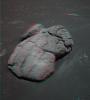
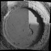
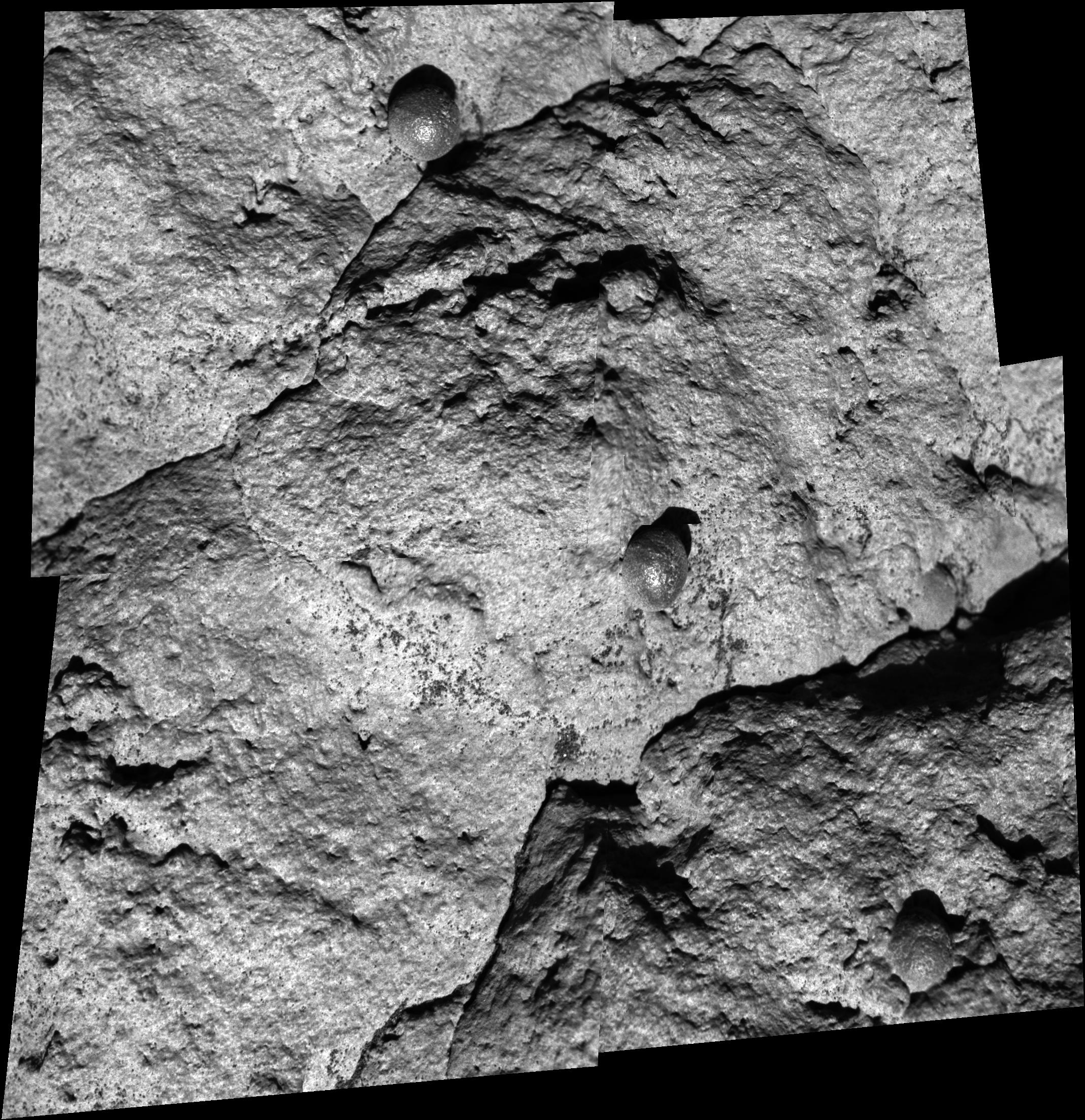
PIA07024:
Close-up of 'Wopmay'
Full Resolution:
TIFF
(4.232 MB)
JPEG
(857.3 kB)
2004-11-04
Mars
Mars Exploration Rover (MER)
Panoramic Camera
3281x2256x3
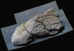
PIA07025:
'Wopmay' in False Color
Full Resolution:
TIFF
(13.16 MB)
JPEG
(795.8 kB)
2004-11-04
Mars
Mars Exploration Rover (MER)
Navigation Camera
1024x1024x1
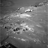
PIA07026:
Difficult Terrain for Opportunity
Full Resolution:
TIFF
(1.05 MB)
JPEG
(213.3 kB)
2004-11-04
Mars
Mars Exploration Rover (MER)
Navigation Camera
1024x1024x1
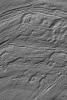
PIA07027:
Opportunity Looks Ahead on Sol 274
Full Resolution:
TIFF
(1.05 MB)
JPEG
(324.3 kB)
2004-11-05
Mars
Mars Global Surveyor (MGS)
Mars Orbiter Camera (MOC)
1024x1536x1
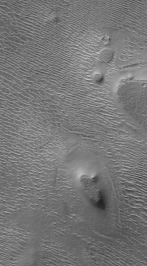
PIA07032:
Reull Vallis Floor
Full Resolution:
TIFF
(1.575 MB)
JPEG
(435.2 kB)
2004-11-05
Mars
2001 Mars Odyssey
THEMIS
704x6516x1
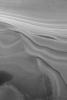
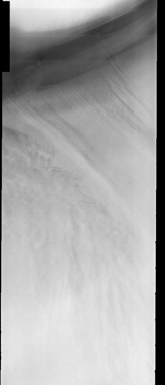
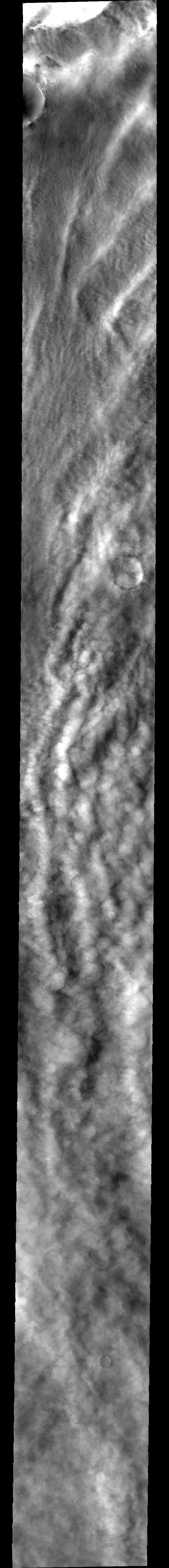
PIA07029:
Storm over Dunes
Full Resolution:
TIFF
(3.898 MB)
JPEG
(484.1 kB)
2004-11-06
Mars
Mars Global Surveyor (MGS)
Mars Orbiter Camera (MOC)
640x960x1
PIA07033:
Crater with Streak
Full Resolution:
TIFF
(615.3 kB)
JPEG
(137 kB)
2004-11-07
Mars
Mars Global Surveyor (MGS)
Mars Orbiter Camera (MOC)
672x1008x1
PIA07034:
Autumn Dust Storm
Full Resolution:
TIFF
(631.1 kB)
JPEG
(45.38 kB)
2004-11-08
Mars
Mars Global Surveyor (MGS)
Mars Orbiter Camera (MOC)
1024x2214x1
PIA07035:
Dunes on a Ridge
Full Resolution:
TIFF
(2.27 MB)
JPEG
(721.1 kB)
2004-11-08
Mars
2001 Mars Odyssey
THEMIS
1394x3251x1
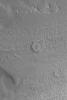
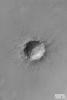
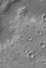
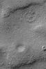
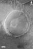
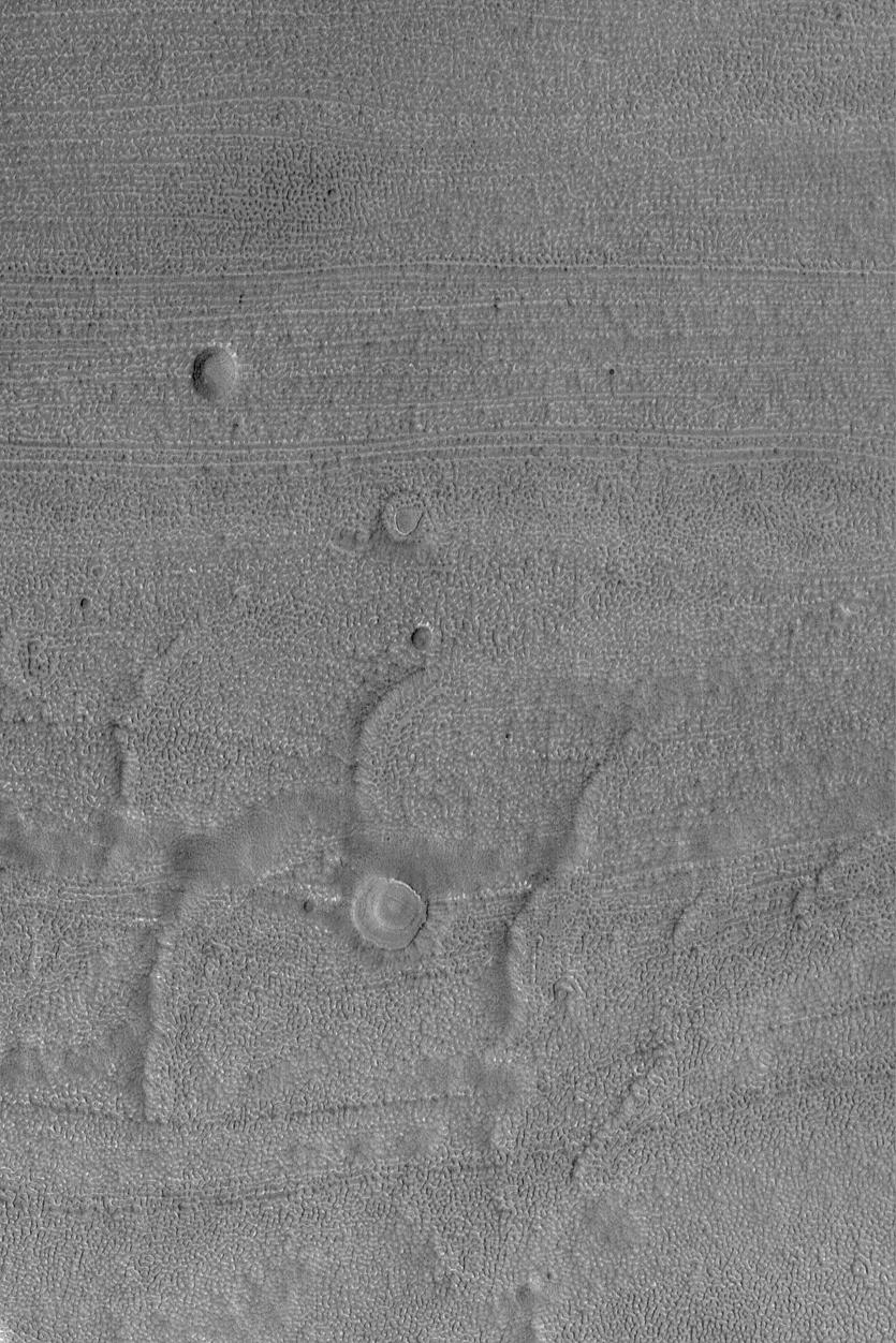
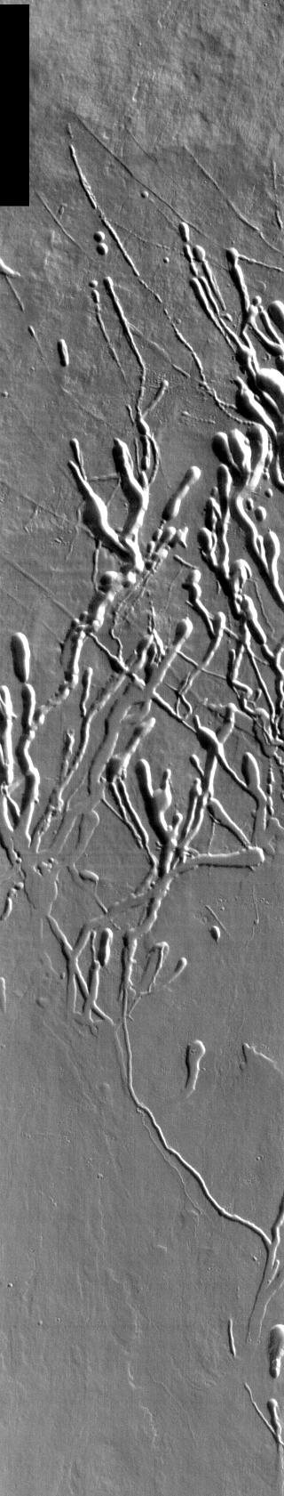
PIA07037:
Collapse Pits in Bernard Crater
Full Resolution:
TIFF
(3.15 MB)
JPEG
(410.7 kB)
2004-11-09
Mars
Mars Global Surveyor (MGS)
Mars Orbiter Camera (MOC)
601x902x1
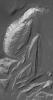
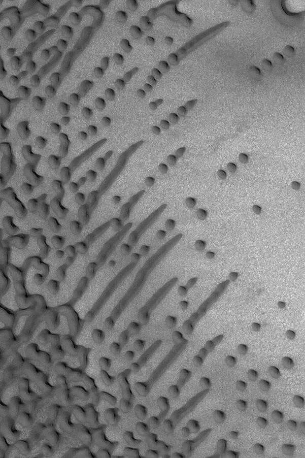
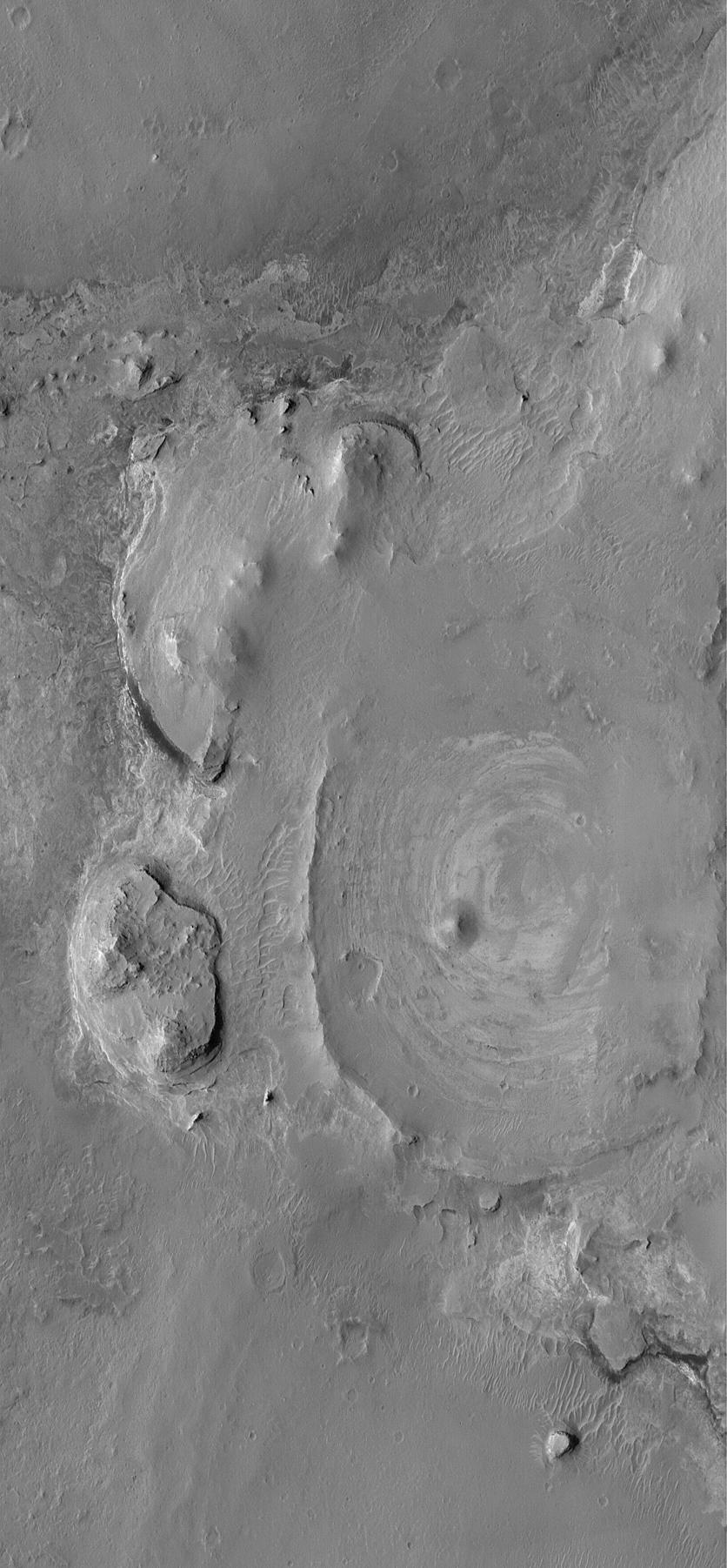
PIA07036:
Dune Variety
Full Resolution:
TIFF
(542.9 kB)
JPEG
(95.6 kB)
2004-11-09
Mars
2001 Mars Odyssey
THEMIS
1402x3221x1
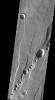
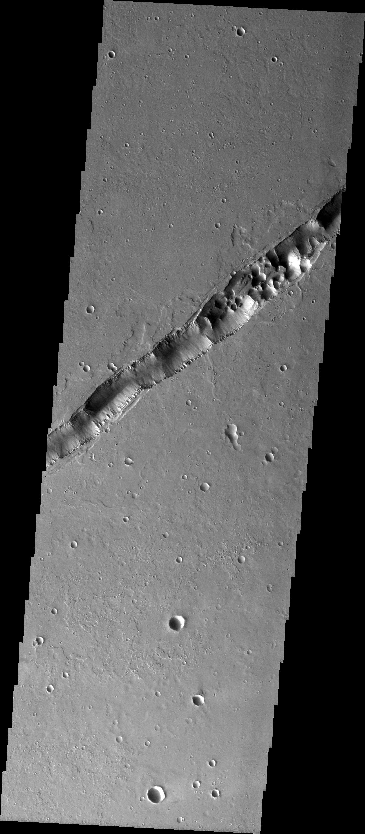
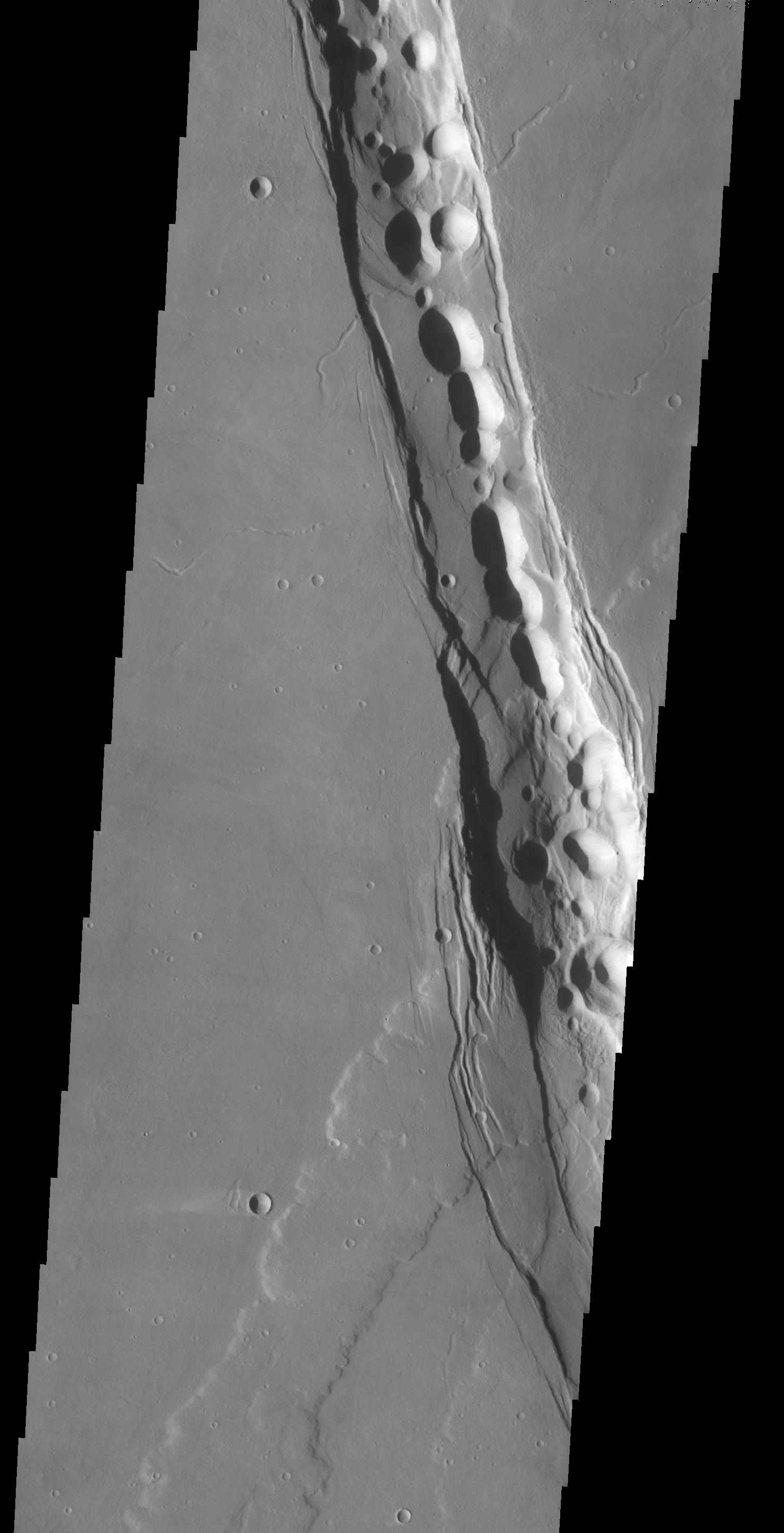
PIA07038:
Sulci Collapse Pits
Full Resolution:
TIFF
(3.332 MB)
JPEG
(341.1 kB)
2004-11-10
Mars
Mars Global Surveyor (MGS)
Mars Orbiter Camera (MOC)
2367x714x3
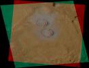
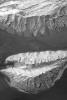
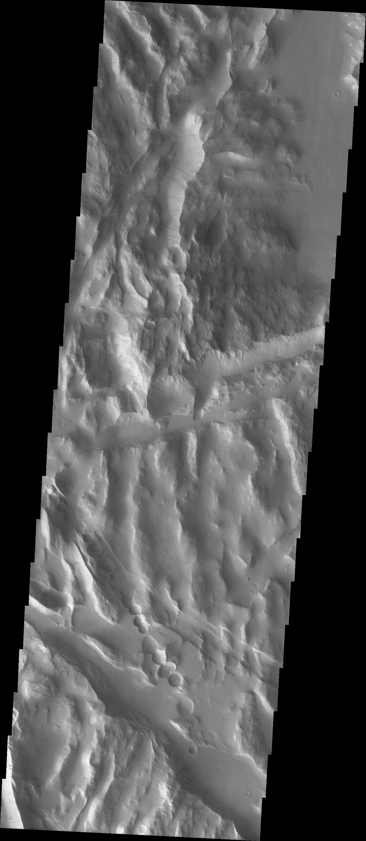
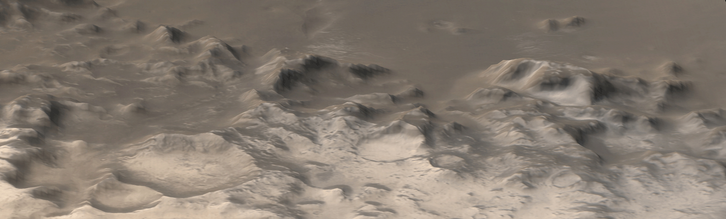
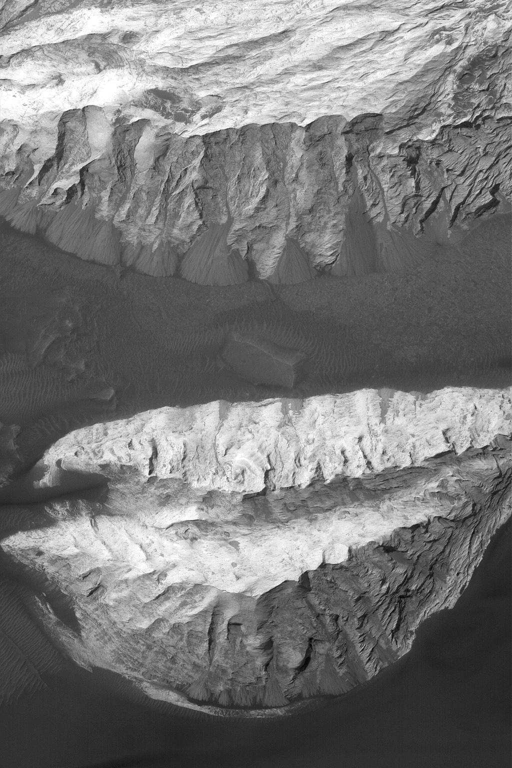
PIA07040:
Charitum Montes
Full Resolution:
TIFF
(5.073 MB)
JPEG
(1.185 MB)
2004-11-11
Mars
Mars Global Surveyor (MGS)
Mars Orbiter Camera (MOC)
510x765x1
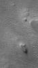
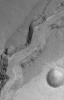
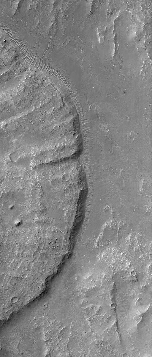
PIA07041:
A Tale of 3 Craters
Full Resolution:
TIFF
(390.8 kB)
JPEG
(138.3 kB)
2004-11-11
Mars
2001 Mars Odyssey
THEMIS
1411x3218x1
PIA07053:
Tharsis Collapse Pits
Full Resolution:
TIFF
(3.27 MB)
JPEG
(482.2 kB)
2004-11-11
Mars
2001 Mars Odyssey
THEMIS
1403x3239x1
PIA07042:
Sulci Collapse Pits
Full Resolution:
TIFF
(2.49 MB)
JPEG
(173.6 kB)
2004-11-11
Mars
Mars Exploration Rover (MER)
Navigation Camera
1905x1224x1
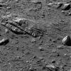
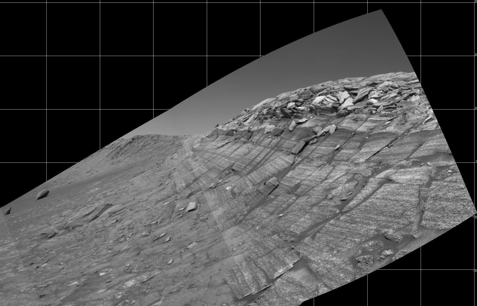
PIA07039:
At Base of 'Burns Cliff'
Full Resolution:
TIFF
(1.281 MB)
JPEG
(247.2 kB)
2004-11-12
Mars
2001 Mars Odyssey
THEMIS
395x713x1
PIA07054:
Alba Patera Collapse Pits
Full Resolution:
TIFF
(205.7 kB)
JPEG
(31.02 kB)
2004-11-12
Mars
Mars Global Surveyor (MGS)
Mars Orbiter Camera (MOC)
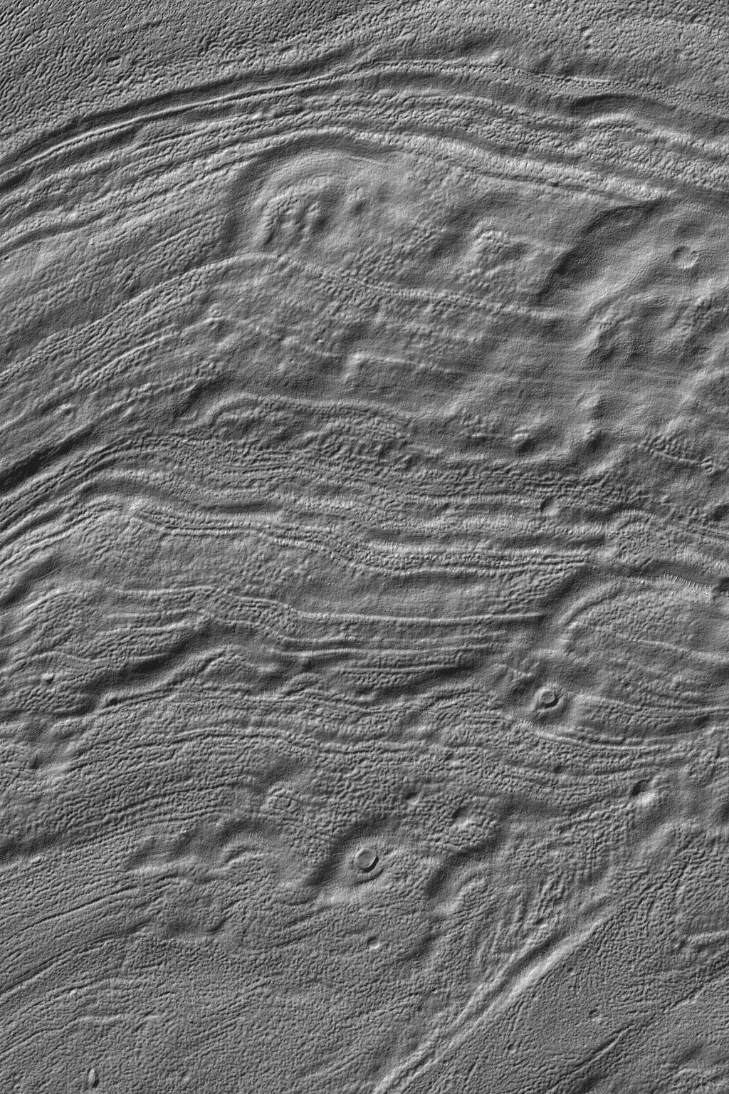
836x1579x1
PIA07043:
Features in Aureum Chaos
Full Resolution:
TIFF
(1.288 MB)
JPEG
(182 kB)
2004-11-13
Mars
Mars Global Surveyor (MGS)
Mars Orbiter Camera (MOC)
1024x1536x1
PIA07049:
Sedimentary Rocks in Ganges
Full Resolution:
TIFF
(1.575 MB)
JPEG
(279 kB)
2004-11-14
Mars
Mars Global Surveyor (MGS)
Mars Orbiter Camera (MOC)
2048x3200x1
PIA07050:
Channel in Kasei
Full Resolution:
TIFF
(6.56 MB)
JPEG
(1.689 MB)
2004-11-15
Mars
Mars Global Surveyor (MGS)
Mars Orbiter Camera (MOC)
512x1197x1
PIA07051:
Landslide in Coprates
Full Resolution:
TIFF
(613.7 kB)
JPEG
(121.6 kB)
2004-11-15
Mars
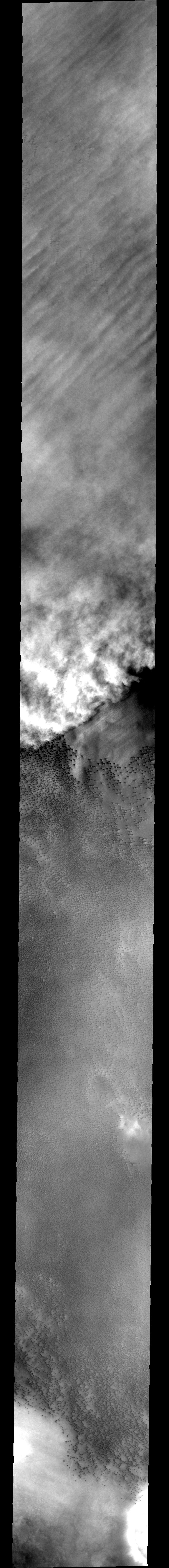
2001 Mars Odyssey
THEMIS
1396x3264x1
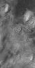
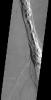
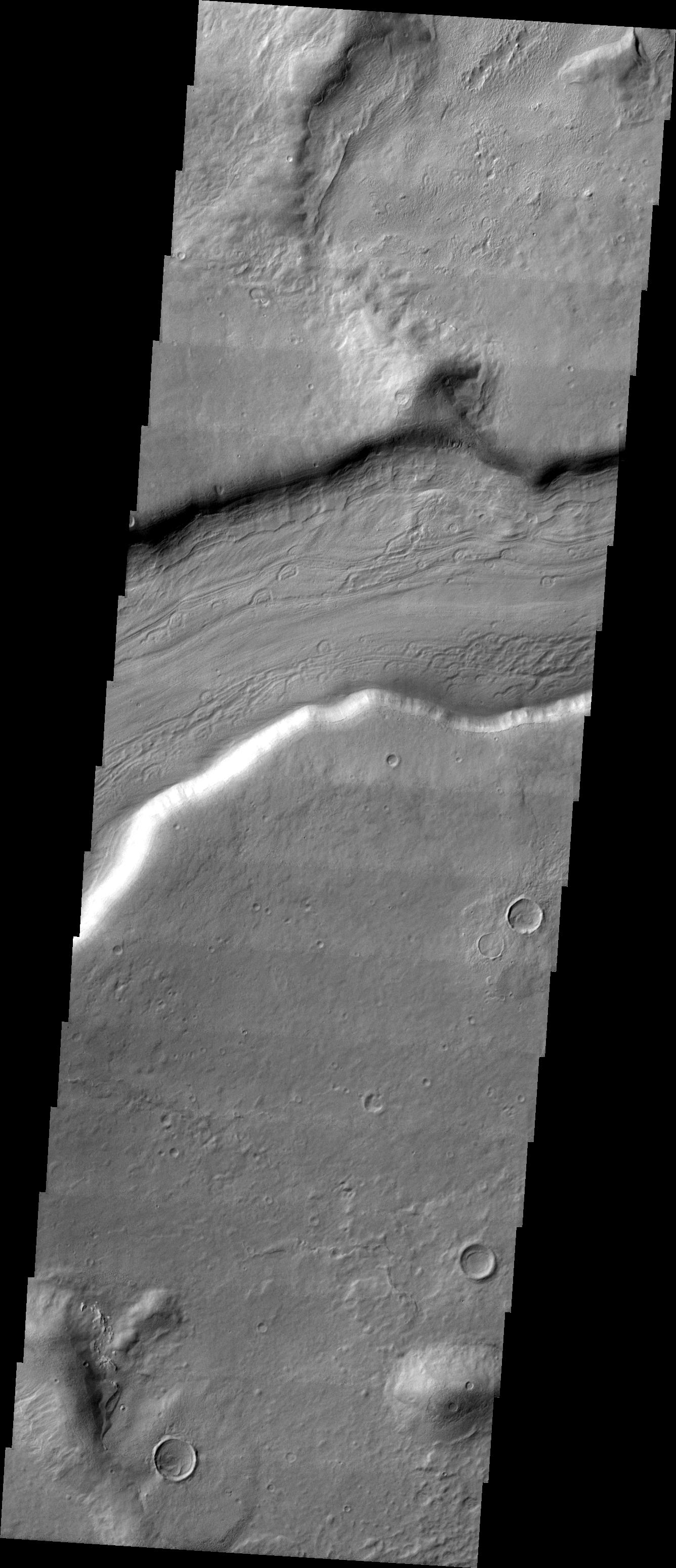
PIA07055:
Lava Tube Collapse Pits
Full Resolution:
TIFF
(3.163 MB)
JPEG
(473.4 kB)
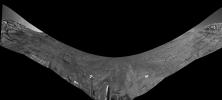
2004-11-16
Mars
Mars Exploration Rover (MER)
Navigation Camera
6767x2153x1
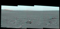
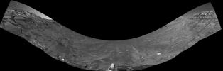
PIA07044:
Along Endurance Crater's Inner Wall
Full Resolution:
TIFF
(6.329 MB)
JPEG
(1.05 MB)
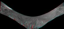
2004-11-16
Mars
Mars Exploration Rover (MER)
Navigation Camera
6823x3078x3
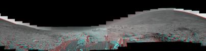
PIA07045:
Along Endurance Crater's Inner Wall (3-D Anaglyph)
Full Resolution:
TIFF
(24.14 MB)
JPEG
(1.37 MB)
2004-11-16
Mars
Mars Exploration Rover (MER)
Navigation Camera
6823x3078x1
PIA07046:
Along Endurance Crater's Inner Wall (Left Eye)
Full Resolution:
TIFF
(7.729 MB)
JPEG
(1.25 MB)
2004-11-16
Mars
Mars Exploration Rover (MER)
Navigation Camera
6823x3078x1
PIA07047:
Along Endurance Crater's Inner Wall (Right Eye)
Full Resolution:
TIFF
(7.753 MB)
JPEG
(1.24 MB)
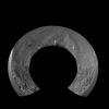
2004-11-16
Mars
Mars Exploration Rover (MER)
Navigation Camera
5195x5195x1
PIA07048:
Along Endurance Crater's Inner Wall (Polar)
Full Resolution:
TIFF
(7.977 MB)
JPEG
(1.294 MB)
2004-11-16
Mars
Mars Global Surveyor (MGS)
Mars Orbiter Camera (MOC)
1920x2688x1
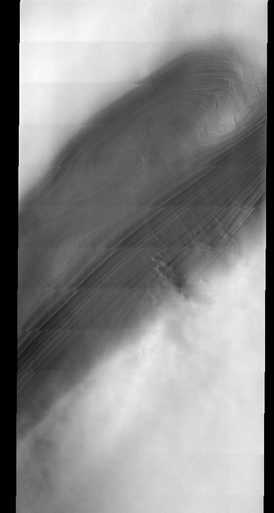
PIA07052:
North Polar Scene
Full Resolution:
TIFF
(5.148 MB)
JPEG
(715.1 kB)
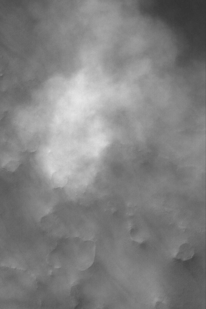
2004-11-16
Mars
2001 Mars Odyssey
THEMIS
320x1681x1
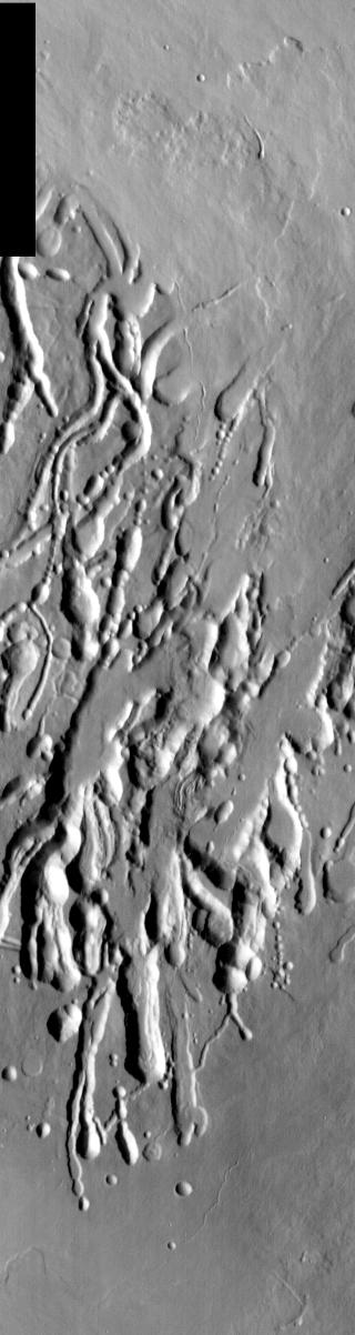
PIA07056:
Ascraeus Mons Collapse Pits
Full Resolution:
TIFF
(538.7 kB)
JPEG
(93.84 kB)
2004-11-17
Mars
Mars Global Surveyor (MGS)
Mars Orbiter Camera (MOC)
672x2117x1
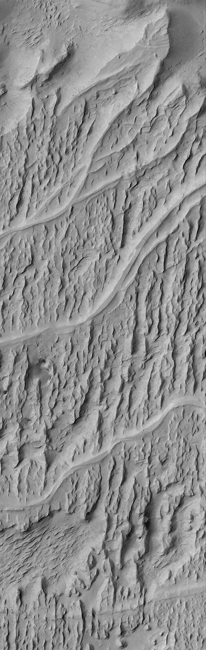
PIA07057:
Inverted Channels of Aeolis
Full Resolution:
TIFF
(1.424 MB)
JPEG
(307.3 kB)
2004-11-17
Mars
2001 Mars Odyssey
THEMIS
320x1202x1
PIA07068:
Arsia Mons Collapse Pits in IR
Full Resolution:
TIFF
(385.3 kB)
JPEG
(59.07 kB)
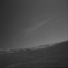
2004-11-17
Mars
Mars Exploration Rover (MER)
Navigation Camera
1024x1024x1
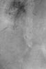
PIA07058:
Clouds Over Crater Rim
Full Resolution:
TIFF
(759.4 kB)
JPEG
(43.99 kB)
2004-11-17
Mars
Mars Exploration Rover (MER)
Navigation Camera
1024x1024x1
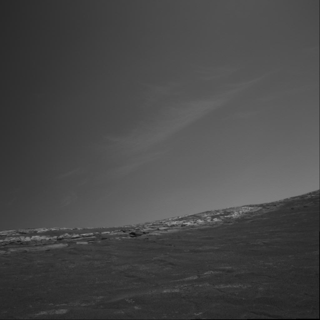
PIA07059:
Clouds Over 'Endurance'
Full Resolution:
TIFF
(457.6 kB)
JPEG
(20.44 kB)
2004-11-18
Mars
Mars Global Surveyor (MGS)
Mars Orbiter Camera (MOC)
901x1352x1
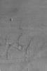
PIA07060:
Small Gullied Crater
Full Resolution:
TIFF
(1.22 MB)
JPEG
(265 kB)
2004-11-18
Mars
2001 Mars Odyssey
THEMIS
320x1088x1
PIA07069:
Alba Patera Collapse Pits
Full Resolution:
TIFF
(327.7 kB)
JPEG
(37.59 kB)
2004-11-19
Mars
Mars Global Surveyor (MGS)
Mars Orbiter Camera (MOC)
836x1802x1
PIA07061:
Northern Meridiani Scene
Full Resolution:
TIFF
(1.506 MB)
JPEG
(210.6 kB)
2004-11-19
Mars
2001 Mars Odyssey
THEMIS
1489x2909x1
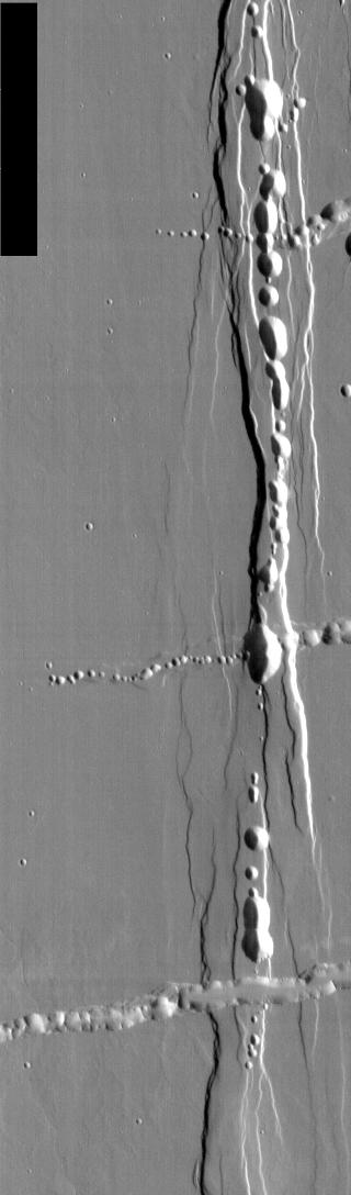
PIA07070:
Tractus Catena Collapse Pits
Full Resolution:
TIFF
(2.608 MB)
JPEG
(246.9 kB)
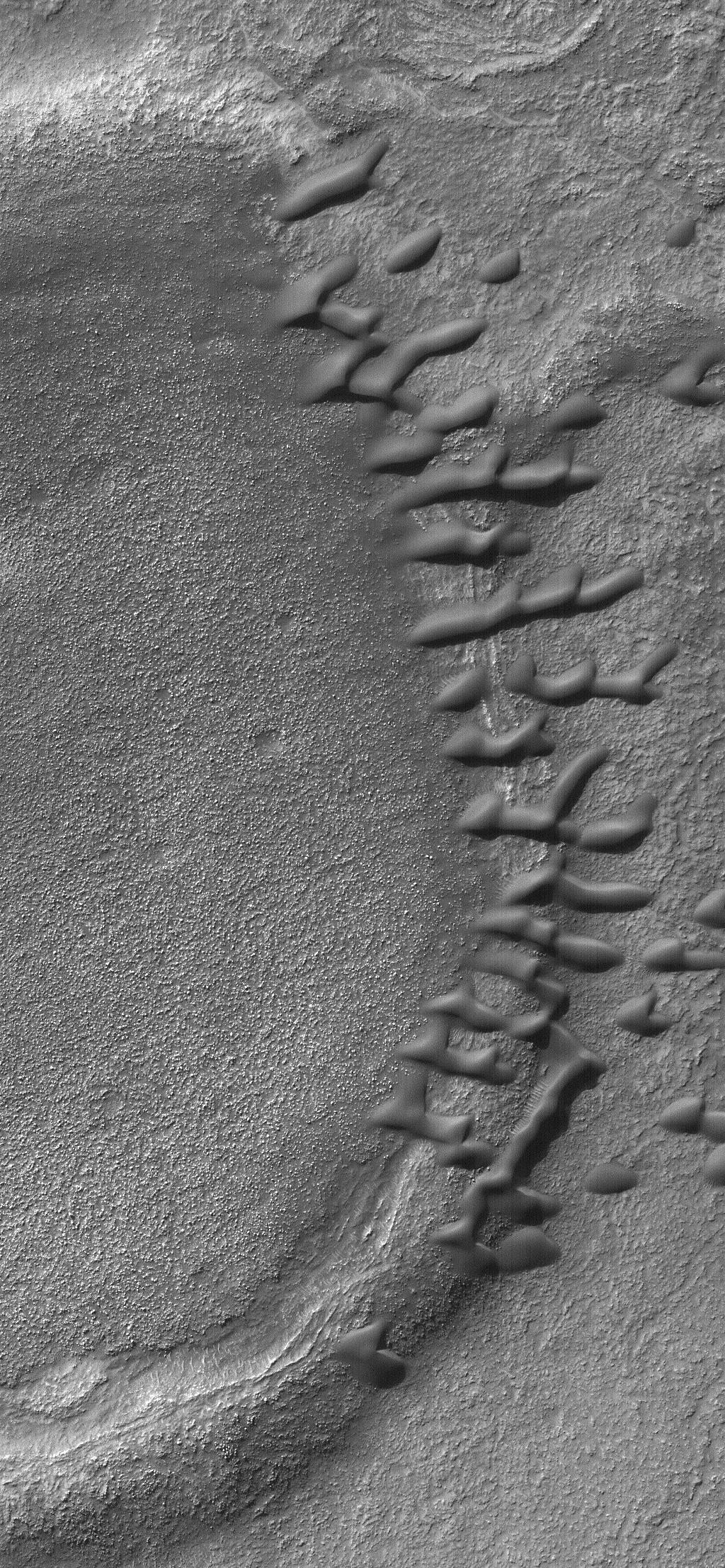
2004-11-20
Mars
Mars Global Surveyor (MGS)
Mars Orbiter Camera (MOC)
836x1254x1
PIA07062:
North Polar Layer Exposure
Full Resolution:
TIFF
(1.05 MB)
JPEG
(203.7 kB)
2004-11-21
Mars
Mars Global Surveyor (MGS)
Mars Orbiter Camera (MOC)
640x1617x1
PIA07063:
Hill and Depression
Full Resolution:
TIFF
(1.036 MB)
JPEG
(294.4 kB)
1-100
101-200
201-300
301-400
401-500
501-600
601-700
701-800
801-900
901-1000
Currently displaying images:
3001 - 3100
of 12748


