- Original Caption Released with Image:
-
10 November 2004
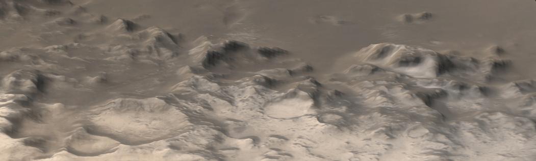
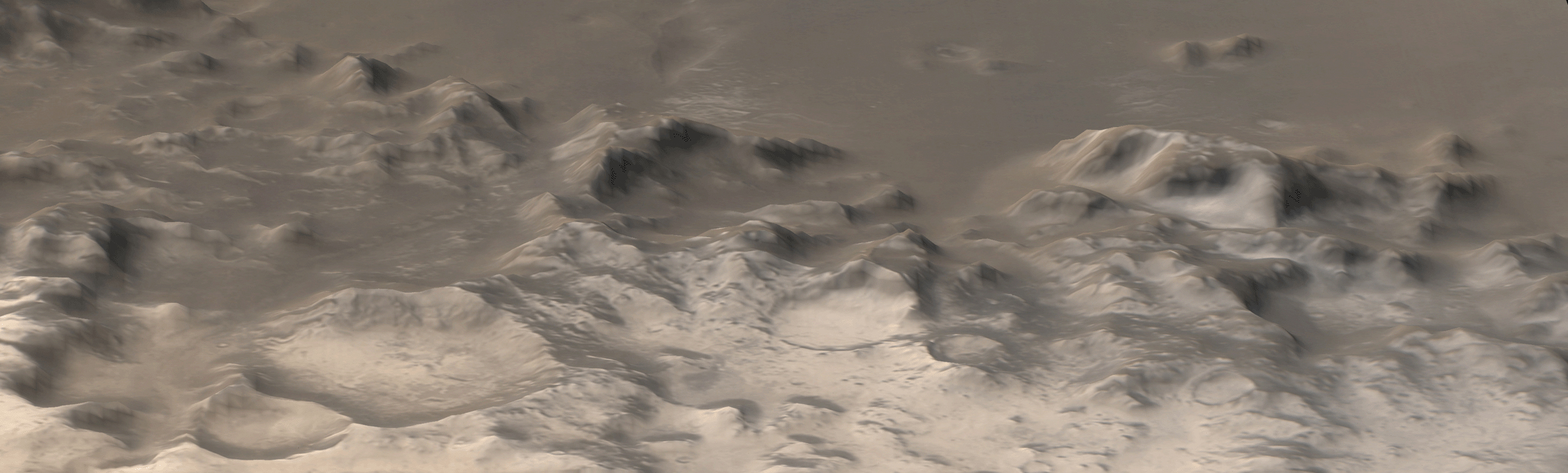
This is a perspective view of the Charitum Montes, the mountain range that bounds southern Argyre Planitia, created by combining red and blue Mars Global Surveyor (MGS) Mars Orbiter Camera (MOC) wide angle images with topography from the MGS Mars Orbiter Laser Altimeter (MOLA). Carbon dioxide frost coats some of the hills, craters, and mountainsides in this southern springtime image. The picture is located near 57°S, 43°W. North is toward the top, south toward the bottom. Sunlight illuminates the scene from the upper left. The area shown is about 355 km (220 miles) wide. A smaller portion of this image was previously released in July 2003 as "Frosty Mountains."
- Image Credit:
-
NASA/JPL/Malin Space Science Systems
Image Addition Date: -
2004-11-10
|