My
List |
Addition Date
|
Target
|
Mission
|
Instrument
|
Size
|

|
2003-03-25 |
Earth
|
Airborne Synthetic Aperture Radar (AIRSAR)
|
AirSAR
|
783x1192x3 |
|
-
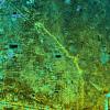
PIA04266:
-
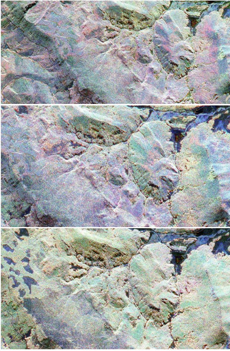
Fraser, Colorado
Full Resolution:
TIFF
(2.803 MB)
JPEG
(339 kB)
|
|
|
2002-10-11 |
Earth
|
Airborne Synthetic Aperture Radar (AIRSAR)
|
AirSAR
|
1898x1734x3 |

|
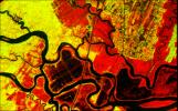
-
PIA03871:
-
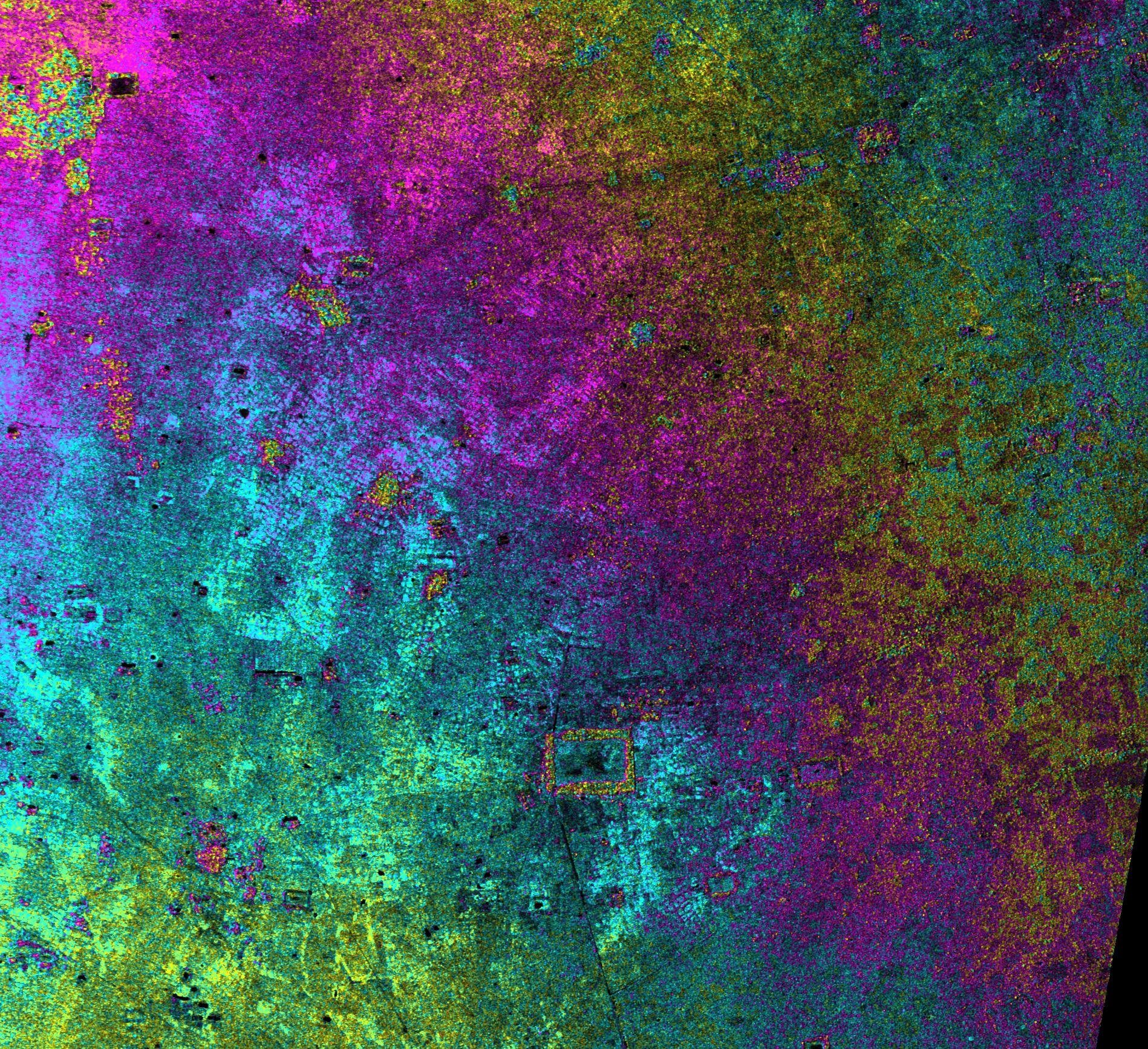
Radar Image with Color as Height, Nokor Pheas Trapeng, Cambodia
Full Resolution:
TIFF
(3.296 MB)
JPEG
(1.12 MB)
|
|
|
2002-10-11 |
Earth
|
Airborne Synthetic Aperture Radar (AIRSAR)
|
AirSAR
|
949x867x3 |
|
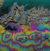
-
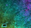
PIA03870:
-
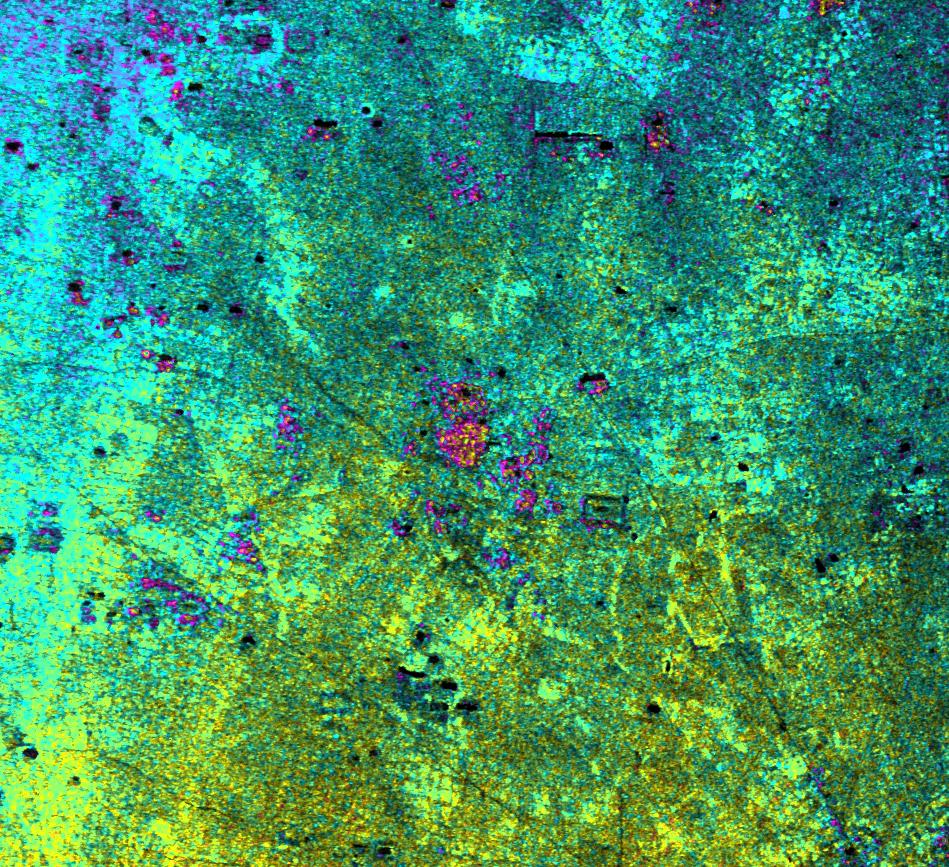
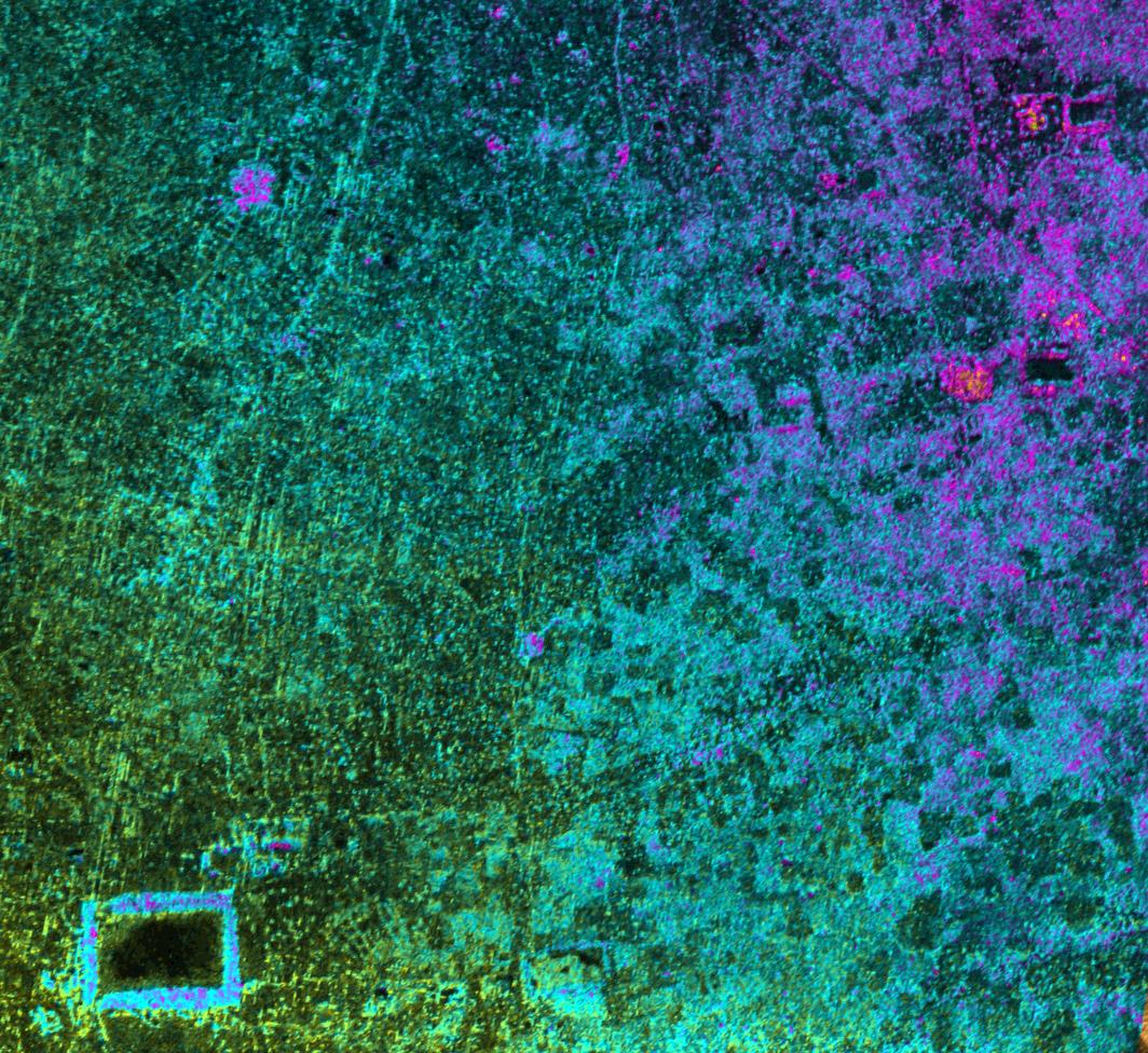
Radar Image with Color as Height, Ancharn Kuy, Cambodia
Full Resolution:
TIFF
(2.476 MB)
JPEG
(312.7 kB)
|
|
|
2002-10-11 |
Earth
|
Airborne Synthetic Aperture Radar (AIRSAR)
|
AirSAR
|
1288x976x3 |
|
-
PIA03869:
-
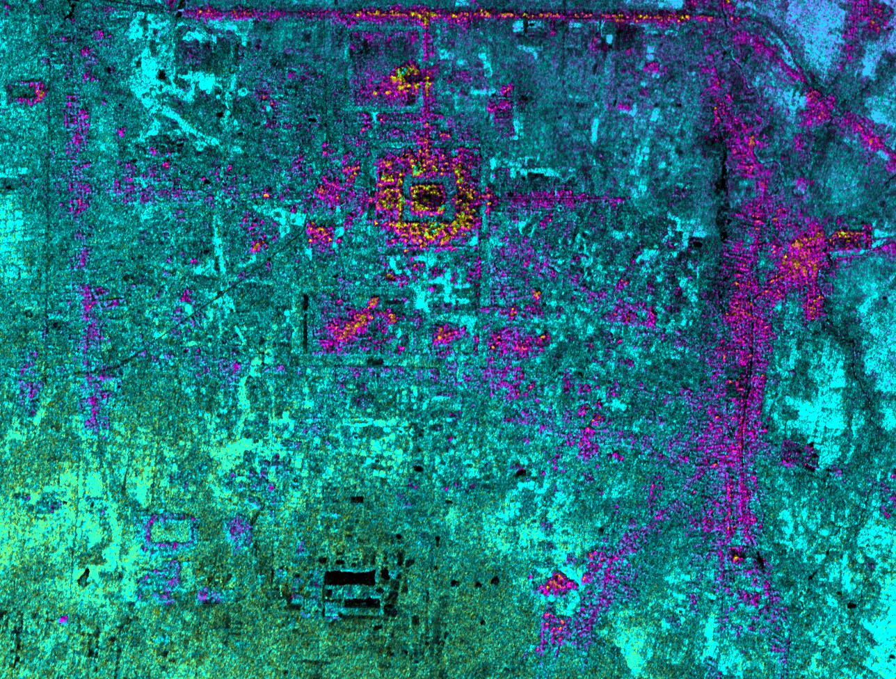
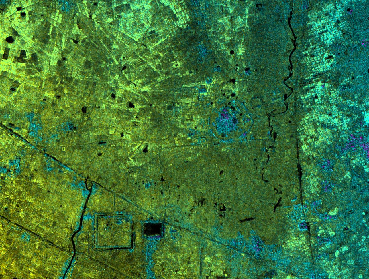
Radar Image with Color as Height, Hariharalaya, Cambodia
Full Resolution:
TIFF
(3.778 MB)
JPEG
(440.6 kB)
|
|
|
2002-10-11 |
Earth
|
Airborne Synthetic Aperture Radar (AIRSAR)
|
AirSAR
|
1288x976x3 |
|
-
PIA03868:
-
Radar Image with Color as Height, Lovea, Cambodia
Full Resolution:
TIFF
(3.777 MB)
JPEG
(360.3 kB)
|
|
|
2002-10-11 |
Earth
|
Airborne Synthetic Aperture Radar (AIRSAR)
|
AirSAR
|
670x671x3 |
|
-
PIA03867:
-
Radar Image with Color as Height, Old Khmer Road, Cambodia
Full Resolution:
TIFF
(1.356 MB)
JPEG
(127.8 kB)
|
|
|
2002-10-11 |
Earth
|
Airborne Synthetic Aperture Radar (AIRSAR)
|
AirSAR
|
1064x976x3 |
|
-
PIA03866:
-
Radar Image with Color as Height, Sman Teng, Temple, Cambodia
Full Resolution:
TIFF
(3.122 MB)
JPEG
(295.3 kB)
|
|
|
2001-11-04 |
Earth
|
Airborne Synthetic Aperture Radar (AIRSAR)
|
AirSAR
|
1000x875x3 |
|
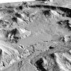
-
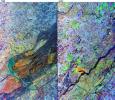
PIA03513:
-
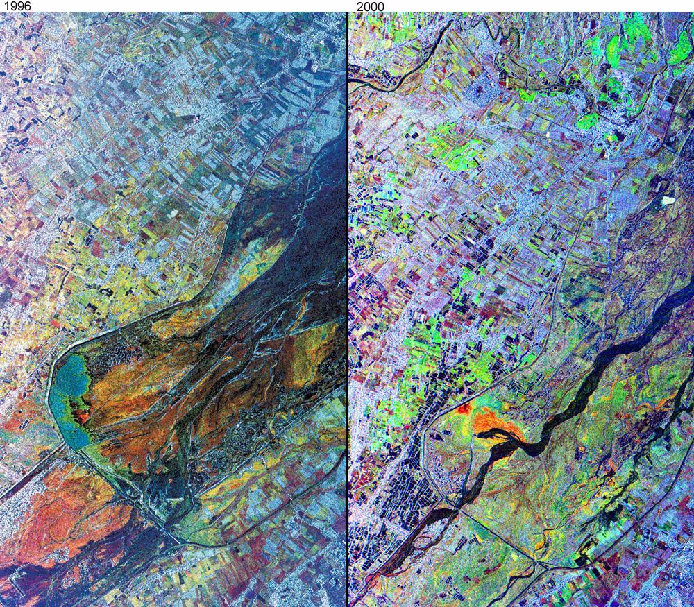
Mt. Pinatubo, Phillipines - Comparison of November, 1996 and September, 2000
Full Resolution:
TIFF
(3.403 MB)
JPEG
(366.2 kB)
|
|
|
2001-11-04 |
Earth
|
Airborne Synthetic Aperture Radar (AIRSAR)
|
AirSAR
|
1467x711x3 |
|
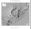
-
PIA03512:
-
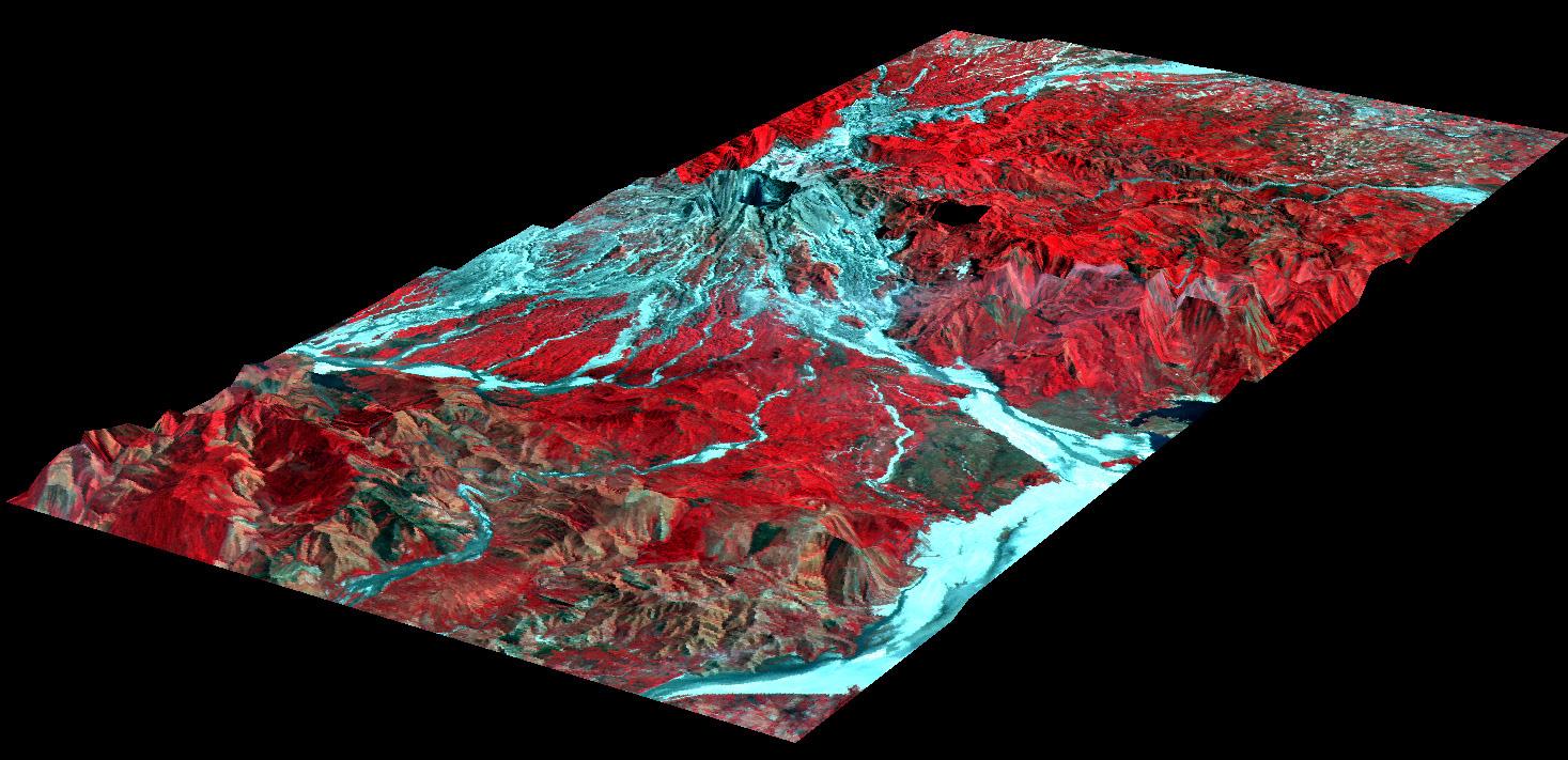
Mt. Pinatubo, Phillippines - Perspective View
Full Resolution:
TIFF
(1.938 MB)
JPEG
(172.5 kB)
|
|
|
2001-11-04 |
Earth
|
Airborne Synthetic Aperture Radar (AIRSAR)
|
AirSAR
|
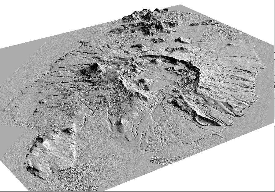
899x630x1 |
|
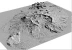
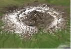
-
PIA03511:
-
Perspective View of Okmok Volcano, Aleutian Islands, Alaska (#2)
Full Resolution:
TIFF
(511.1 kB)
JPEG
(149.9 kB)
|
|
|
2001-11-04 |
Earth
|
Airborne Synthetic Aperture Radar (AIRSAR)
|
AirSAR
|
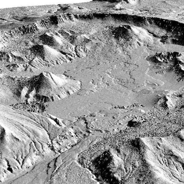
597x597x1 |
|
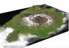
-
PIA03510:
-
Perspective View of Okmok Volcano, Aleutian Islands, Alaska (#1)
Full Resolution:
TIFF
(435.5 kB)
JPEG
(120.8 kB)
|
|
|
2001-11-04 |
Earth
|
Airborne Synthetic Aperture Radar (AIRSAR)
|
AirSAR
|
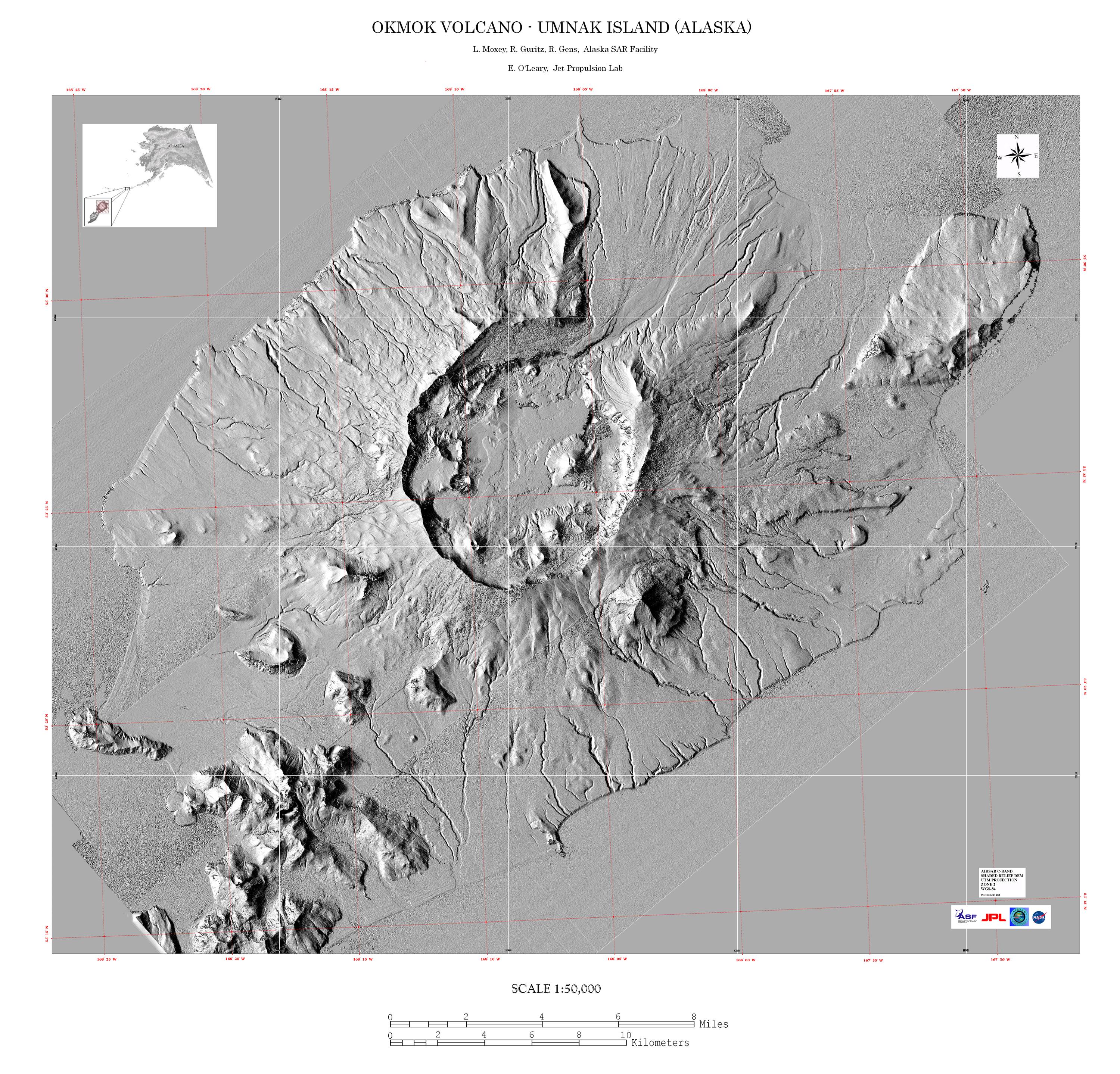
3000x2878x3 |
|
-
PIA03509:
-
Shaded Relief Mosaic of Umnak Island, Aleutian Islands, Alaska
Full Resolution:
TIFF
(8.667 MB)
JPEG
(1.659 MB)
|
|
|
2001-11-04 |
Earth
|
Airborne Synthetic Aperture Radar (AIRSAR)
|
AirSAR
|
899x630x3 |
|
-
PIA03508:
-
Perspective View of Umnak Island, Aleutian Islands, Alaska (#2)
Full Resolution:
TIFF
(918.8 kB)
JPEG
(96 kB)
|
|
|
2001-11-04 |
Earth
|
Airborne Synthetic Aperture Radar (AIRSAR)
|
AirSAR
|
899x630x3 |
|
-
PIA03507:
-
Perspective View of Umnak Island, Aleutian Islands, Alaska (#1)
Full Resolution:
TIFF
(1.274 MB)
JPEG
(141.8 kB)
|
|
|
2001-03-07 |
Earth
|
Airborne Synthetic Aperture Radar (AIRSAR)
|
AirSAR
|
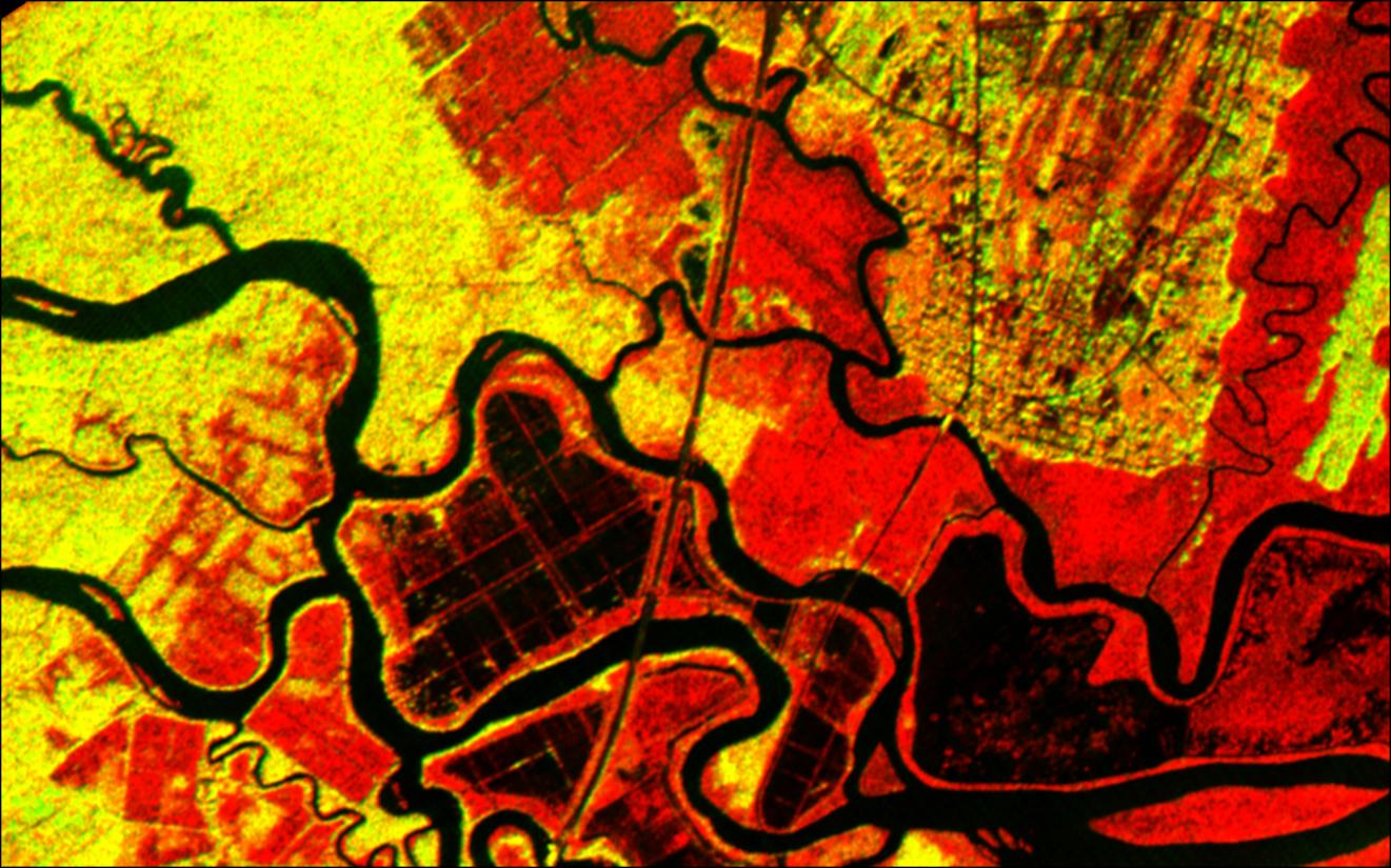
1321x825x3 |
|
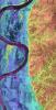
-
PIA03157:
-
Altamaha River Delta, Georgia Sea Islands
Full Resolution:
TIFF
(2.847 MB)
JPEG
(205.7 kB)
|
|
|
2000-12-11 |
Earth
|
Airborne Synthetic Aperture Radar (AIRSAR)
|
AirSAR
|
2401x11984x3 |

|
-
PIA02854:
-
Upolu Island, Western Samoa
Full Resolution:
TIFF
(23.9 MB)
JPEG
(10.24 MB)
|
|
|
2000-12-11 |
Earth
|
Airborne Synthetic Aperture Radar (AIRSAR)
|
AirSAR
|
1992x2018x3 |
|
-
PIA02853:
-
Upolu Island, Western Samoa
Full Resolution:
TIFF
(3.49 MB)
JPEG
(1.528 MB)
|
|
|
1999-04-15 |
Earth
|
Airborne Synthetic Aperture Radar (AIRSAR)
|
AirSAR
|
1081x2137x3 |
|
-
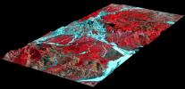
PIA01806:
-
Space Radar Image of Missouri River - TOPSAR
Full Resolution:
TIFF
(2.212 MB)
JPEG
(780.9 kB)
|
 Planetary Data System


