|
Your search criteria found 19643 images Target is Sun |
| My List |
Addition Date
|
Target | Mission | Instrument | Size |

|
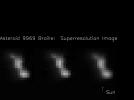
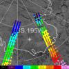
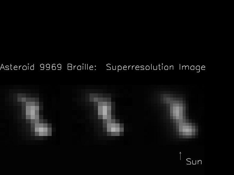
1999-08-03 | Braille |
Deep Space 1 (DS1) |
Miniature Integrated Camera Spectrometer |
779x583x1 |
|
|||||
|
|
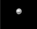
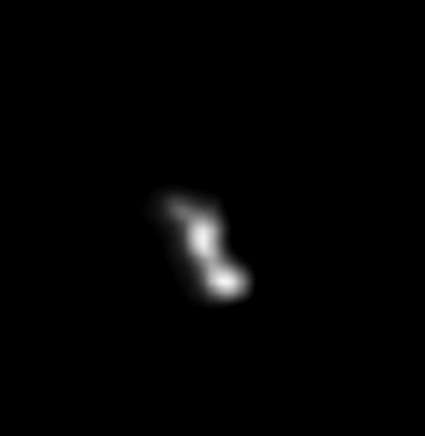
1999-08-03 | Braille |
Deep Space 1 (DS1) |
Miniature Integrated Camera Spectrometer |
606x621x1 |

|
|||||
|
|
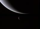
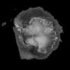
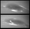
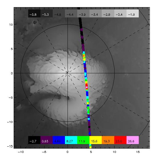
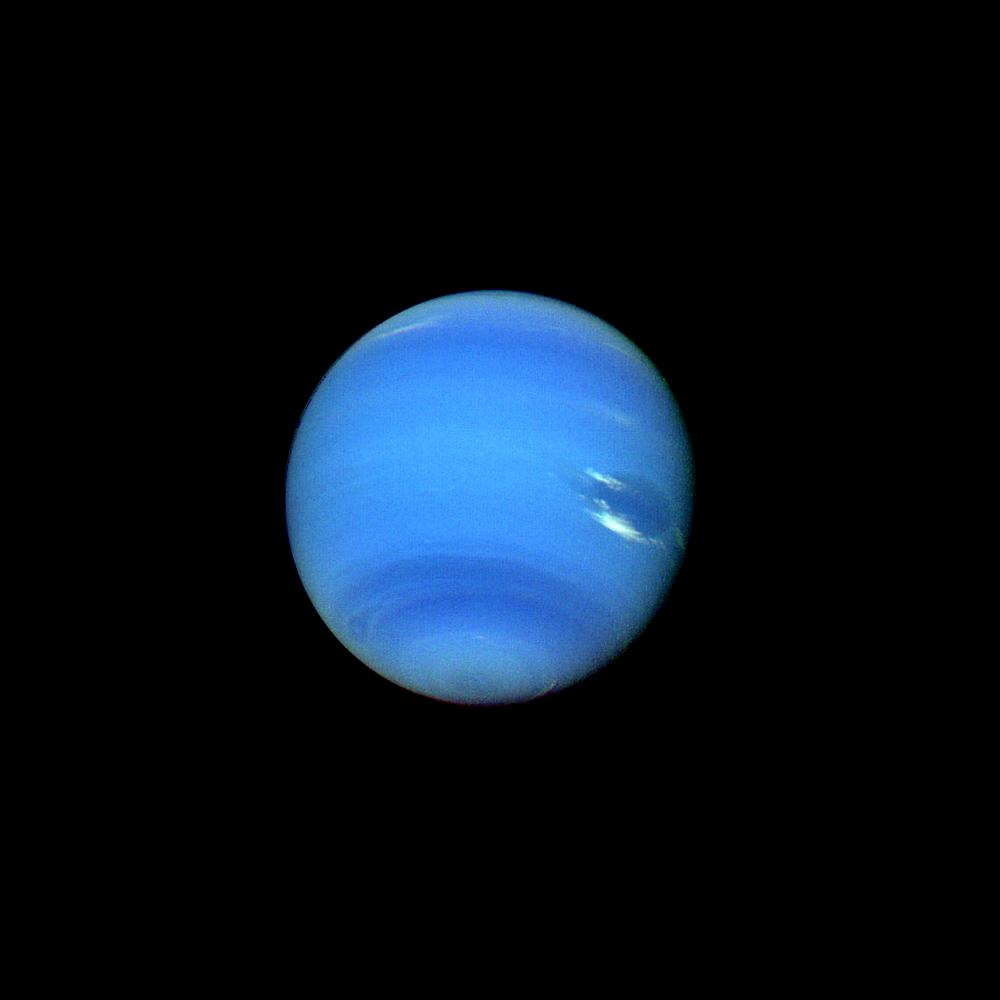
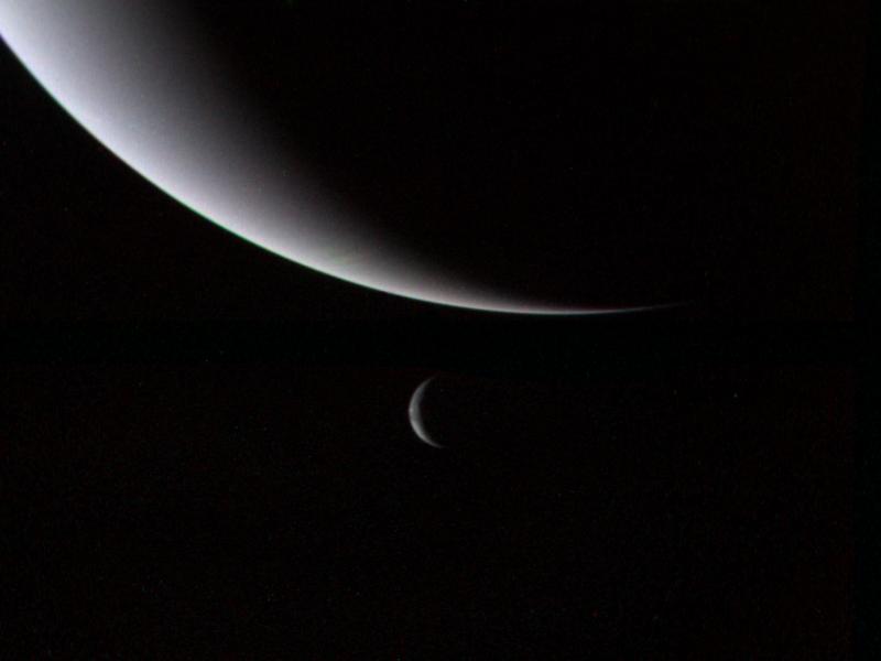
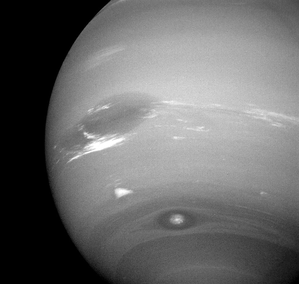
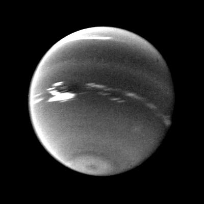
1999-08-08 | Neptune |
Voyager |
VG ISS - Narrow Angle |
400x318x1 |
|
|||||
|
|
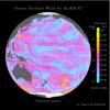
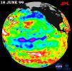
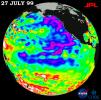
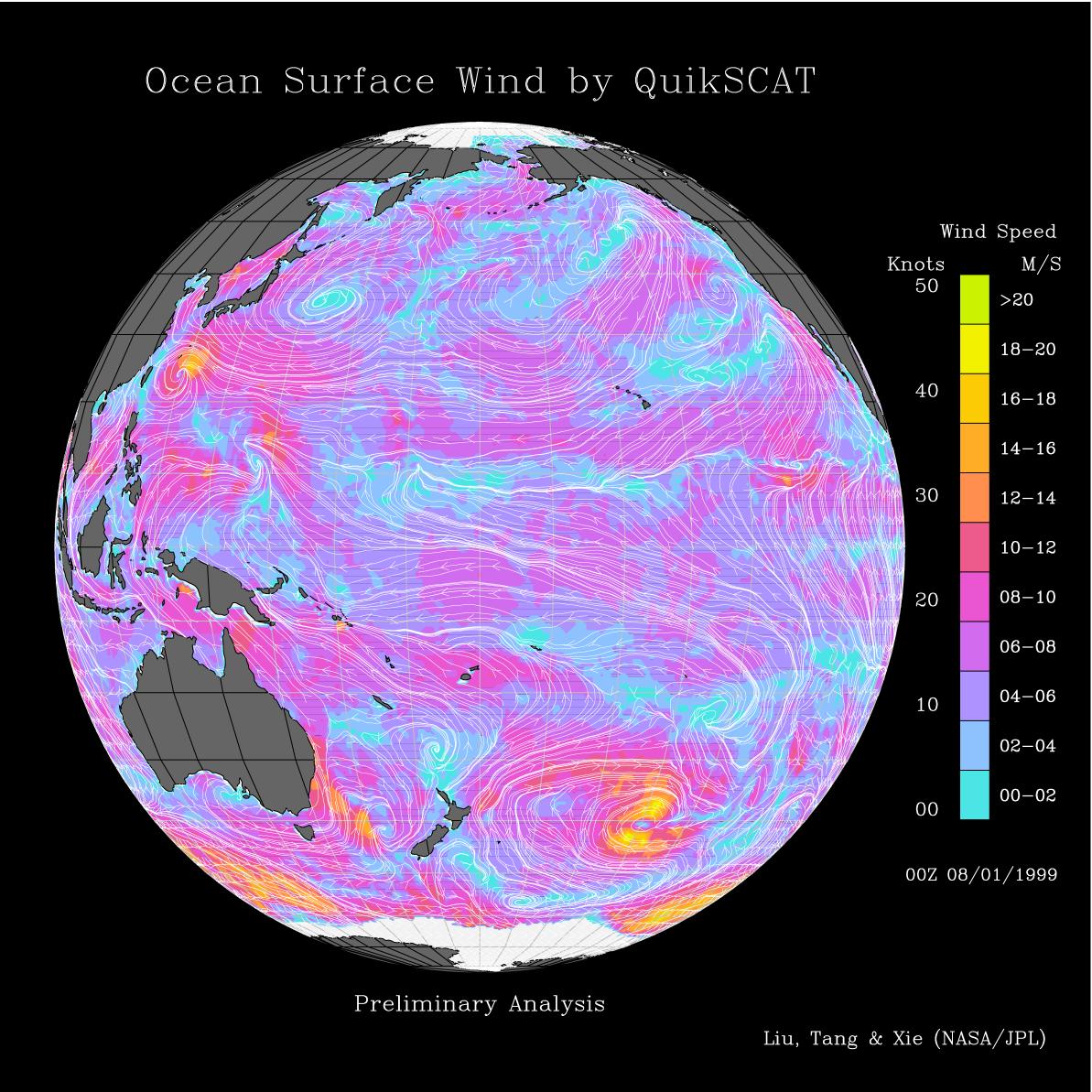
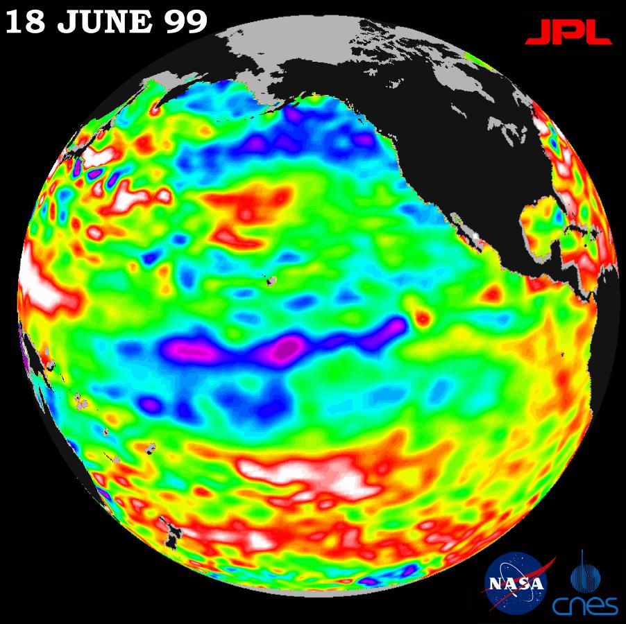
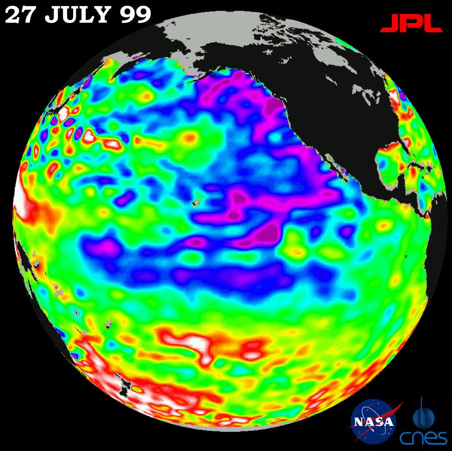
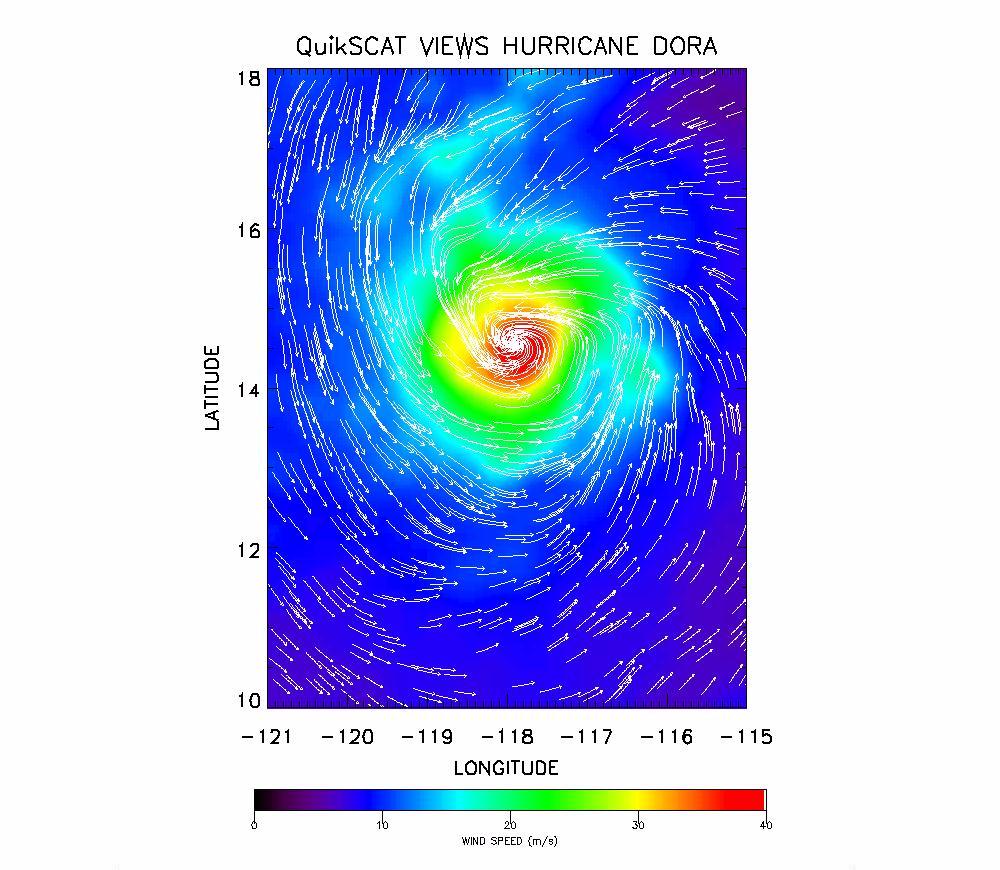
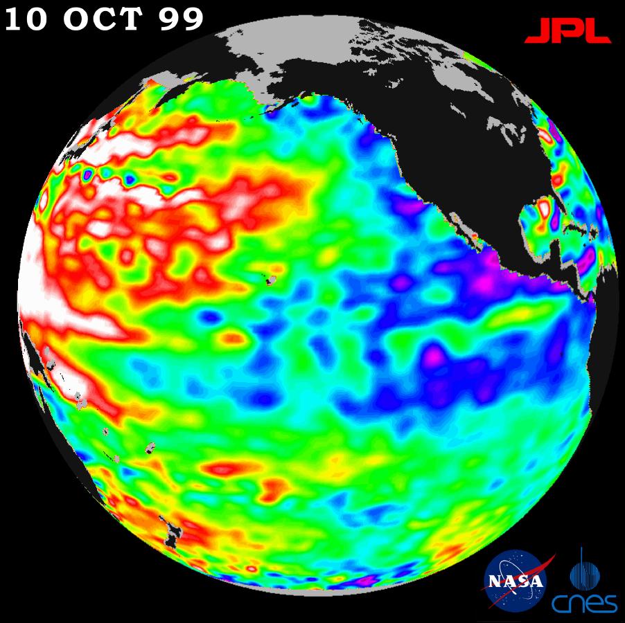
1999-08-09 | Earth |
QuikScat |
SeaWinds Scatterometer |
1193x1193x3 |
|
|||||
|
|
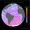
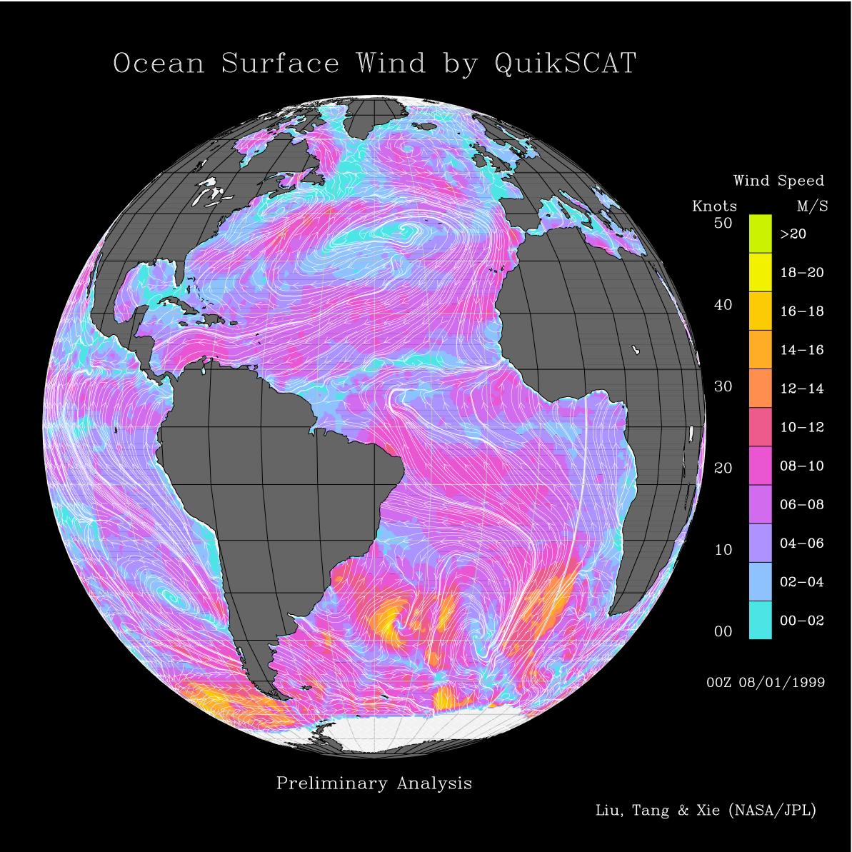
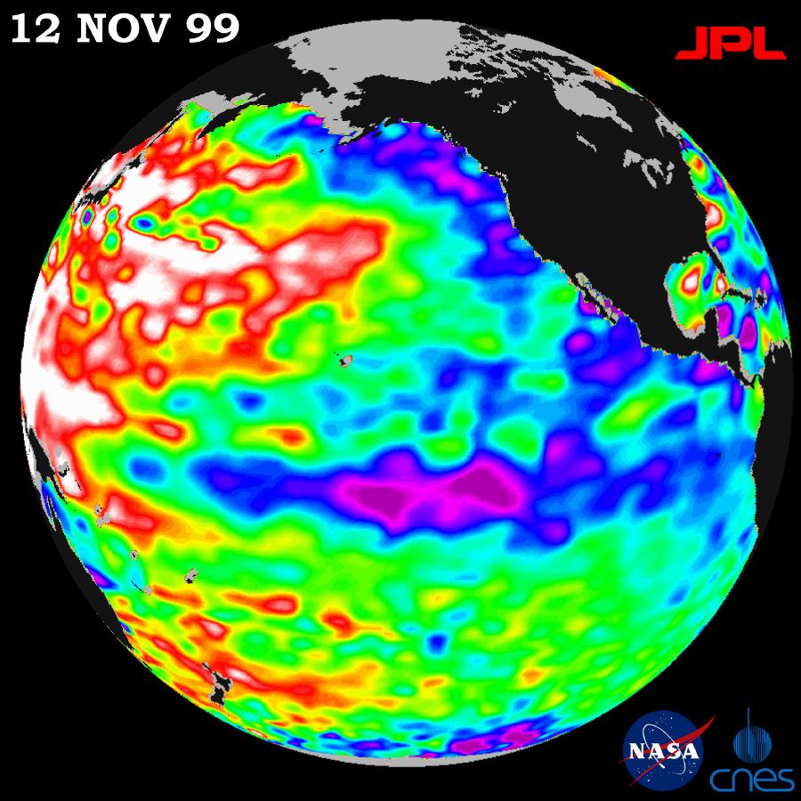
1999-08-09 | Earth |
QuikScat |
SeaWinds Scatterometer |
1193x1193x3 |
|
|||||
|
|
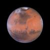
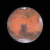
1999-08-17 | Mars |
Mars Global Surveyor (MGS) |
Thermal Emission Spectrometer |
551x561x3 |
|
|||||
|
|
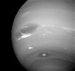
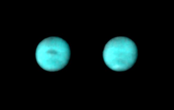
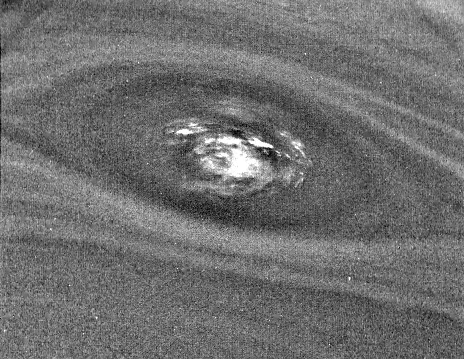
1999-08-18 | Neptune |
Voyager |
VG ISS - Narrow Angle |
662x420x3 |
|
|||||
|
|
1999-08-19 | Neptune |
Voyager |
VG ISS - Narrow Angle |
1000x1000x3 |
|
|||||
|
|
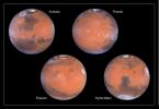
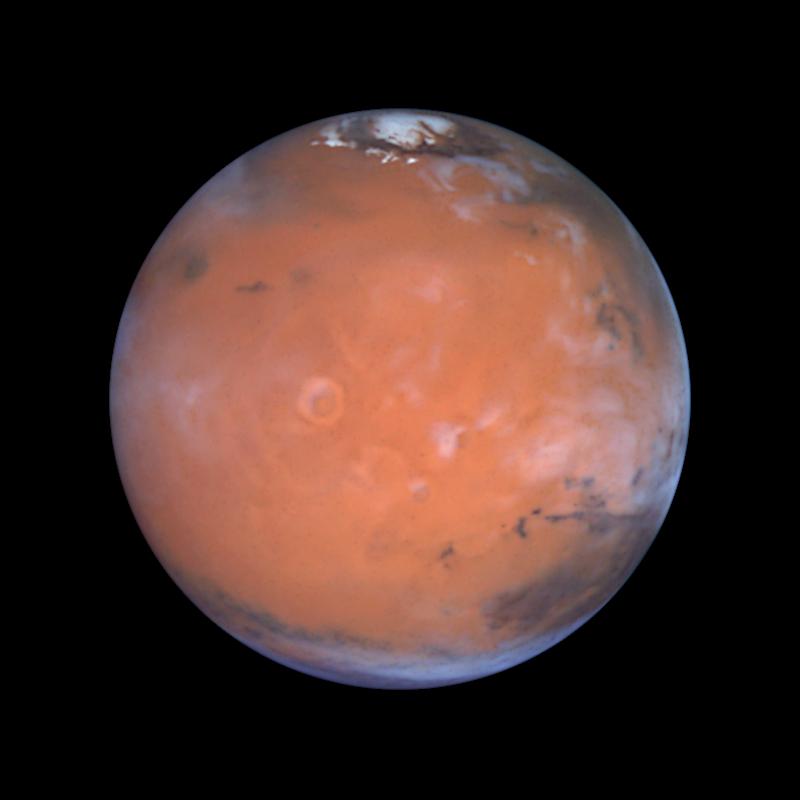
1999-08-23 | Mars |
Hubble Space Telescope |
WFPC2 |
800x800x3 |
|
|||||
|
|
1999-08-23 | Earth |
TOPEX/Poseidon |
Altimeter |
902x900x3 |
|
|||||
|
|
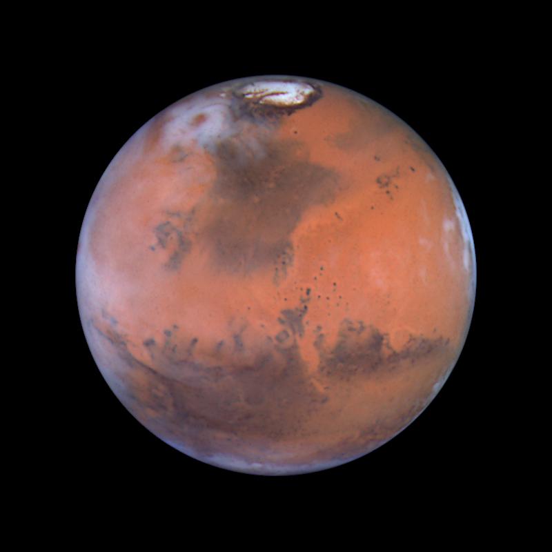
1999-08-23 | Mars |
Hubble Space Telescope |
WFPC2 |
900x450x3 |
|
|||||
|
|
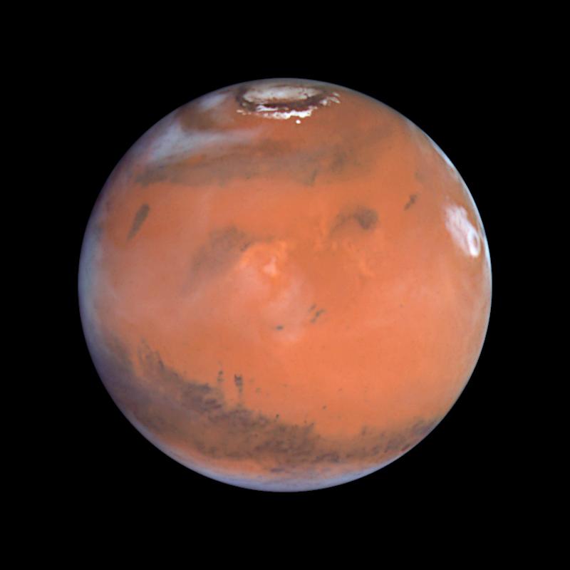
1999-08-23 | Mars |
Hubble Space Telescope |
WFPC2 |
800x800x3 |
|
|||||
|
|
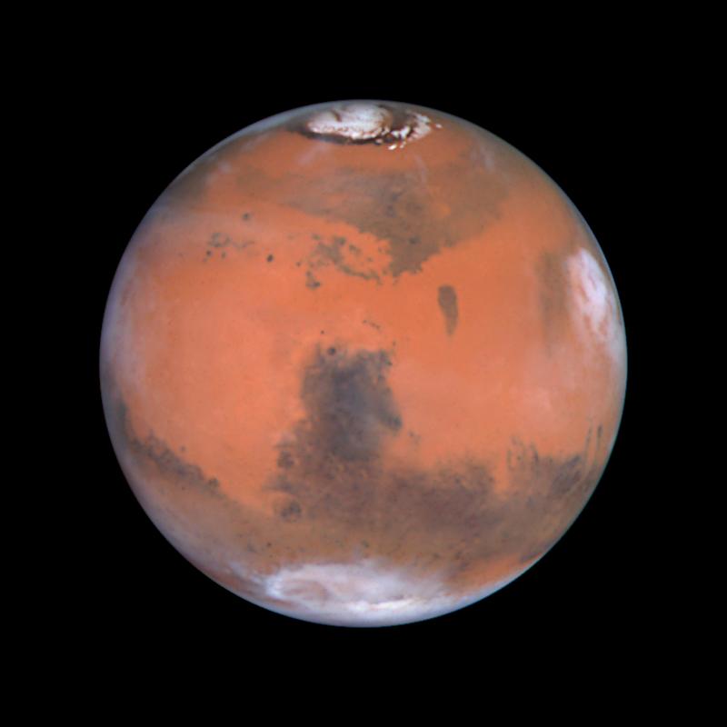
1999-08-23 | Mars |
Hubble Space Telescope |
WFPC2 |
800x800x3 |
|
|||||
|
|
1999-08-23 | Mars |
Hubble Space Telescope |
WFPC2 |
800x800x3 |
|
|||||
|
|
1999-08-23 | Earth |
TOPEX/Poseidon |
Altimeter |
902x900x3 |
|
|||||
|
|
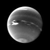
1999-08-23 | Neptune |
Voyager |
800x600x3 | |
|
|||||
|
|
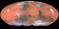
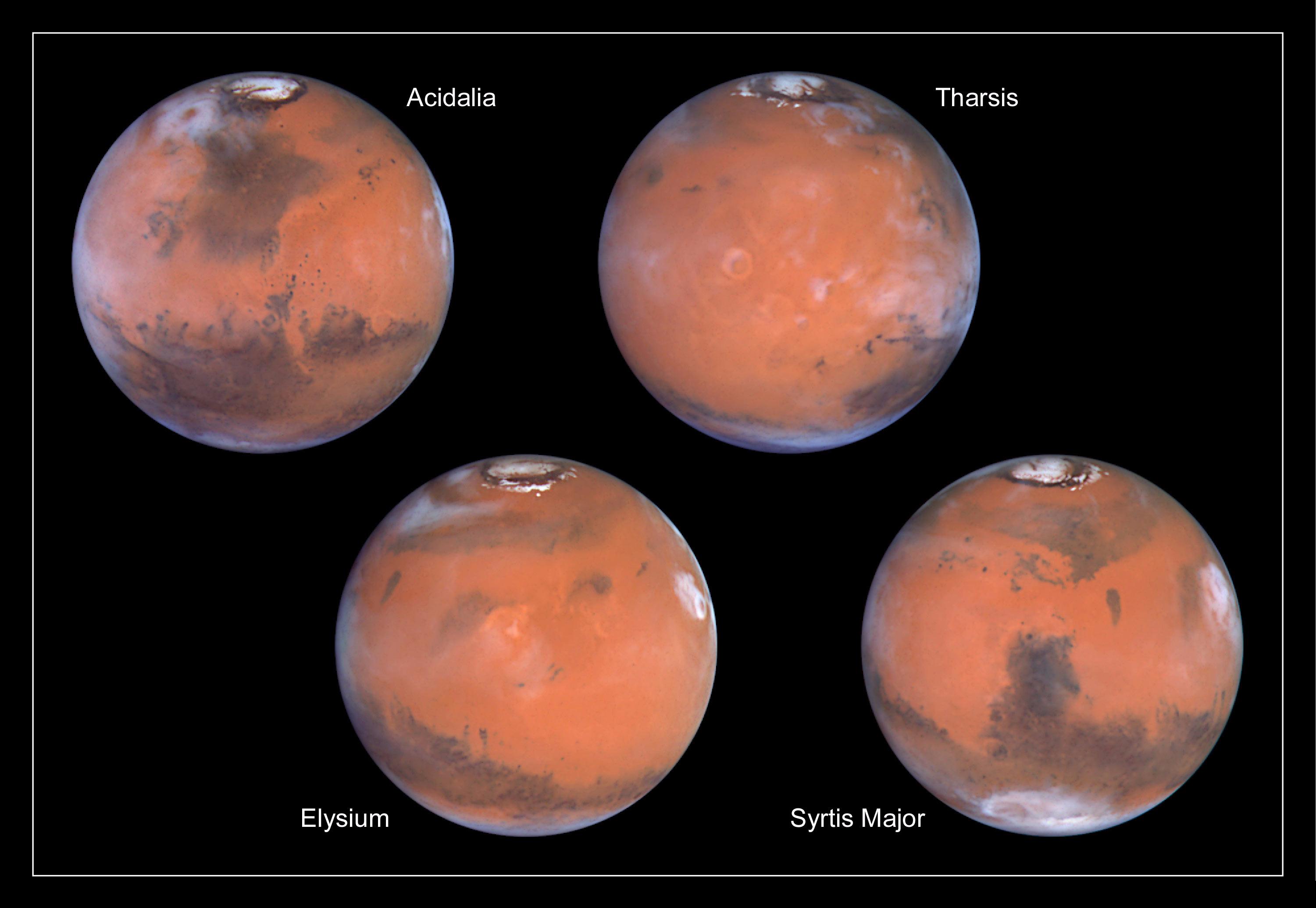
1999-08-23 | Mars |
Hubble Space Telescope |
WFPC2 |
3001x2070x3 |
|
|||||
|
|
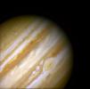
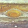
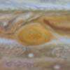
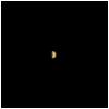
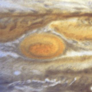
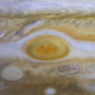
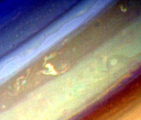
1999-08-24 | Jupiter |
Hubble Space Telescope |
WFPC2 |
718x716x3 |
|
|||||
|
|
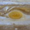
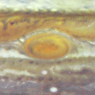
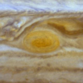
1999-08-24 | Jupiter |
Hubble Space Telescope |
WFPC2 |
321x321x3 |
|
|||||
|
|
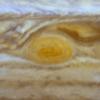
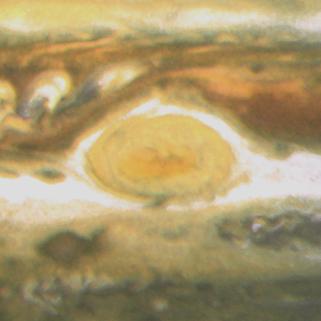
1999-08-24 | Jupiter |
Hubble Space Telescope |
WFPC2 |
321x321x3 |
|
|||||
|
|
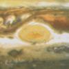
1999-08-24 | Jupiter |
Hubble Space Telescope |
WFPC2 |
321x321x3 |
|
|||||
|
|
1999-08-24 | Jupiter |
Hubble Space Telescope |
WFPC2 |
321x321x3 |

|
|||||
|
|
1999-08-24 | Jupiter |
Hubble Space Telescope |
WFPC2 |
321x321x3 |
|
|||||
|
|
1999-08-24 | Jupiter |
Hubble Space Telescope |
WFPC2 |
321x321x3 |
|
|||||
|
|
1999-08-24 | Jupiter |
Hubble Space Telescope |
WFPC2 |
321x321x3 |
|
|||||
|
|
1999-08-24 | Jupiter |
Hubble Space Telescope |
WFPC2 |
321x321x3 |
|
|||||
|
|
1999-08-24 | Jupiter |
Hubble Space Telescope |
WFPC2 |
2401x2870x3 |
|
|||||
|
|
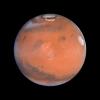
1999-08-25 | Mars |
Mars Global Surveyor (MGS) |
Mars Orbiter Camera (MOC) |
1145x1100x1 |
|
|||||
|
|
1999-08-25 | Earth |
QuikScat |
SeaWinds Scatterometer |
1000x870x3 |

|
|||||
|
|
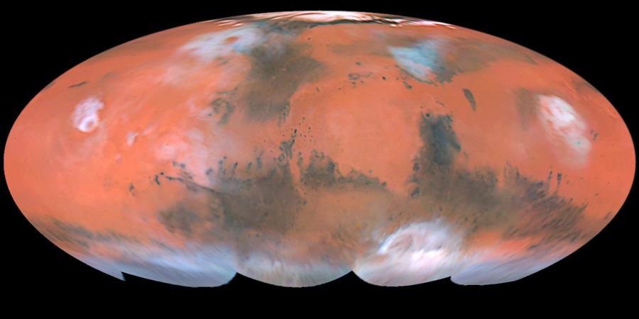
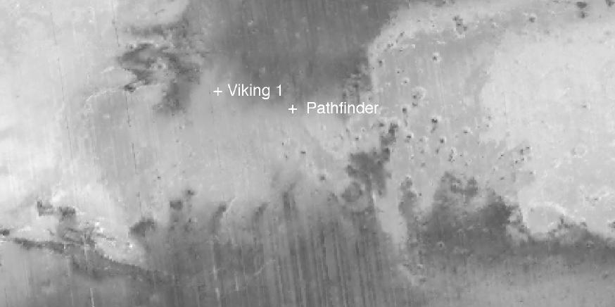
1999-08-26 | Mars |
Mars Global Surveyor (MGS) Viking |
1600x900x3 | |
|
|||||
|
|
1999-08-26 | Mars |
Mars Global Surveyor (MGS) Viking |
2560x1920x3 | |
|
|||||
|
|
1999-08-26 | Mars |
Mars Global Surveyor (MGS) Viking |
2560x1920x3 | |
|
|||||
|
|
1999-08-26 | Mars |
Mars Global Surveyor (MGS) Viking |
2560x1920x3 | |
|
|||||
|
|
1999-08-26 | Mars |
Mars Global Surveyor (MGS) Viking |
1280x960x3 | |
|
|||||
|
|
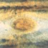
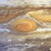
1999-08-27 | Jupiter |
Galileo |
Solid-State Imaging |
1300x1200x3 |
|
|||||
|
|
1999-08-27 | Jupiter |
Galileo |
Solid-State Imaging |
2200x1200x3 |
|
|||||
|
|
1999-08-30 | Saturn |
Voyager |
652x461x3 | |
|
|||||
|
|
1999-08-30 | Neptune |
Voyager |
VG ISS - Narrow Angle |
700x852x3 |
|
|||||
|
|
1999-08-31 | Mars |
Mars Global Surveyor (MGS) |
Thermal Emission Spectrometer |
874x436x1 |

|
|||||
|
|
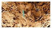
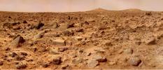
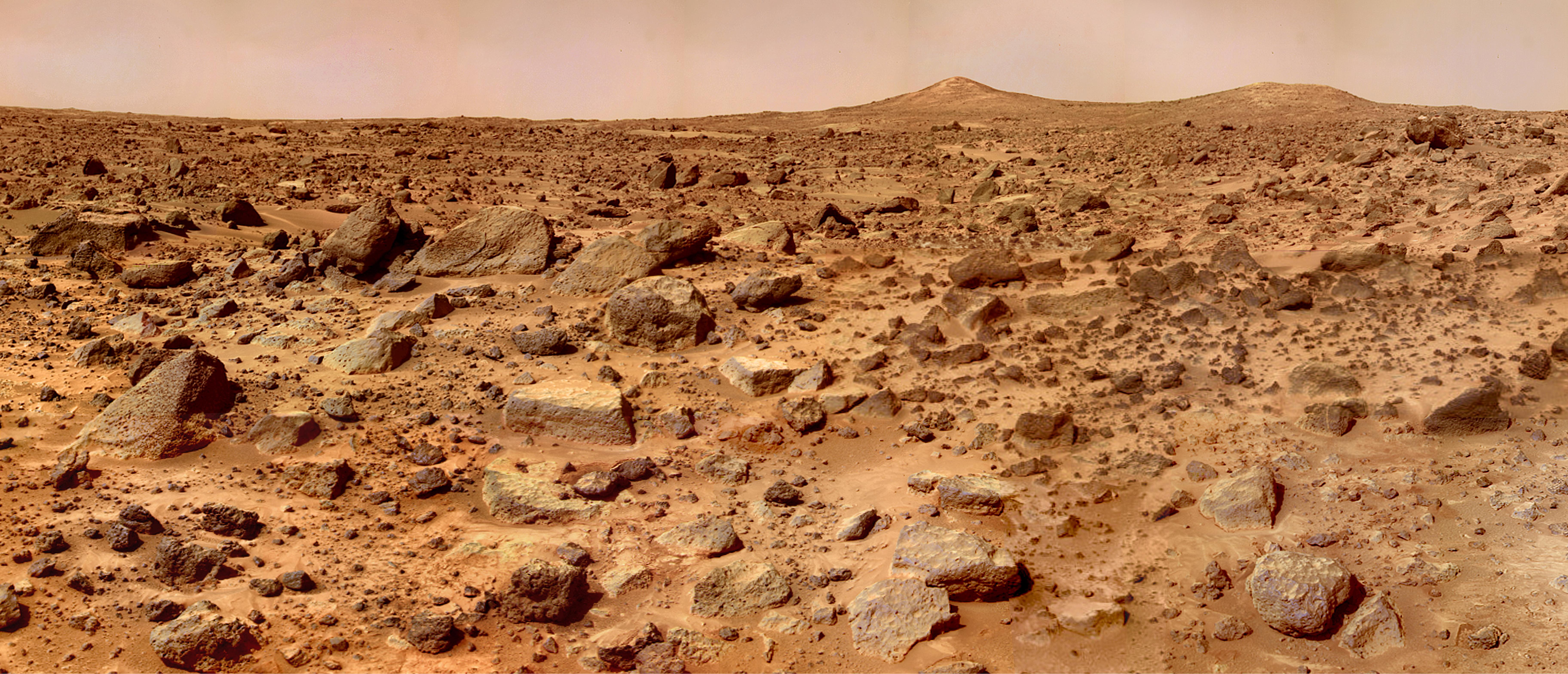
1999-09-08 | Mars |
Mars Pathfinder (MPF) |
Imager for Mars Pathfinder |
7238x3135x3 |
|
|||||
|
|
1999-09-08 | Mars |
Mars Pathfinder (MPF) |
Imager for Mars Pathfinder |
7296x3135x3 |
|
|||||
|
|
1999-09-08 | Earth |
QuikScat |
SeaWinds Scatterometer |
900x900x1 |
|
|||||
|
|
1999-09-10 | Mars |
Mars Climate Orbiter |
MARCI |
200x200x3 |
|
|||||
|
|
1999-09-16 | Earth |
QuikScat |
SeaWinds Scatterometer |
564x400x3 |
|
|||||
|
|
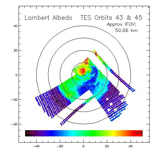
1999-09-18 | Mars |
Mars Global Surveyor (MGS) |
Thermal Emission Spectrometer |
555x555x3 |
|
|||||
|
|
1999-09-18 | Mars |
Mars Global Surveyor (MGS) |
Thermal Emission Spectrometer |
516x529x3 |
|
|||||
|
|
1999-09-18 | Mars |
Mars Global Surveyor (MGS) |
Thermal Emission Spectrometer |
500x500x3 |

|
|||||
|
|
1999-09-18 | Mars |
Mars Global Surveyor (MGS) |
Thermal Emission Spectrometer |
500x500x3 |
|
|||||
|
|
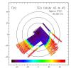
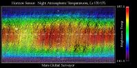
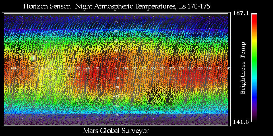
1999-09-18 | Mars |
Mars Global Surveyor (MGS) |
Mars Horizon Sensor Assembly |
960x480x3 |
|
|||||
|
|
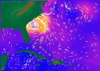
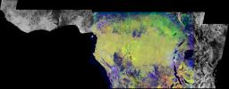
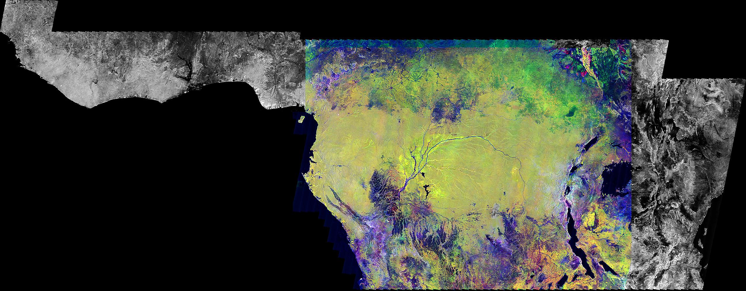
1999-09-23 | Earth |
Global Rain Forest Mapping Project (GRFM) |
JERS-1 SAR |
2552x997x3 |
|
|||||
|
|
1999-09-27 | Jupiter |
Galileo |
Solid-State Imaging |
1200x700x1 |
|
|||||
|
|
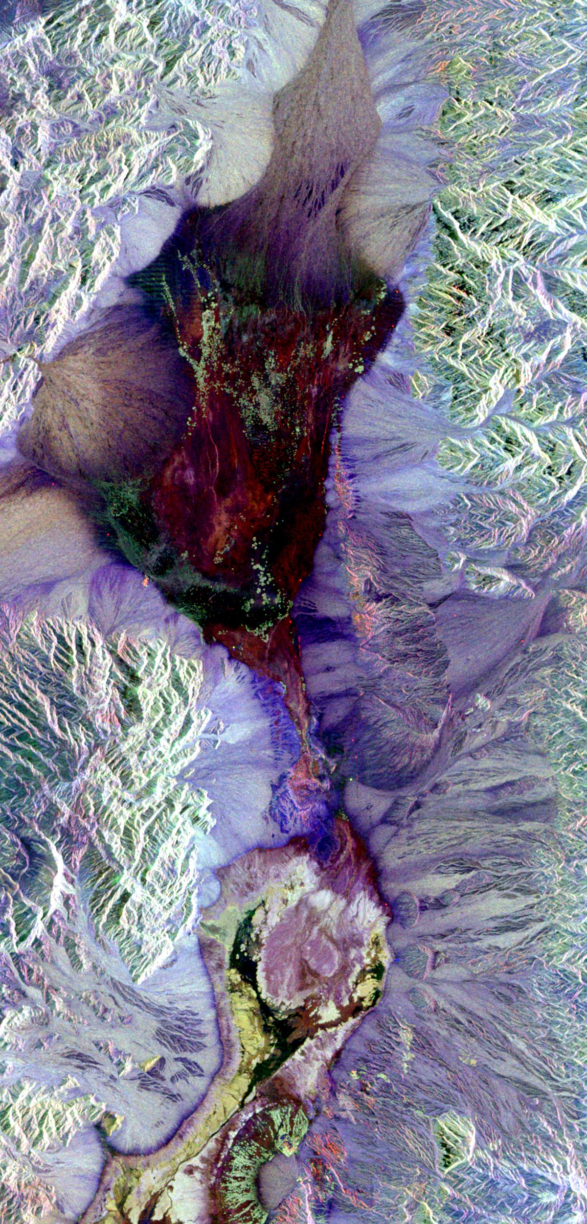
1999-09-27 | Earth |
Spaceborne Imaging Radar-C/X-Band Synthetic Aperture Radar |
L-Band Imaging Radar |
1200x2501x3 |
|
|
|||||
|
|
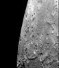
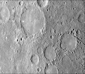
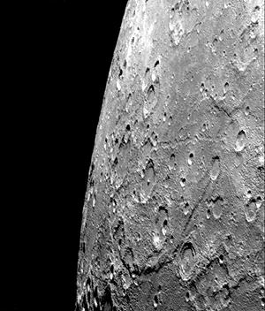
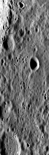
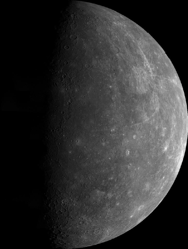
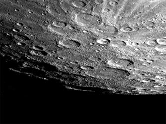
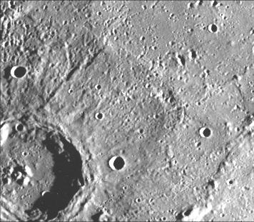
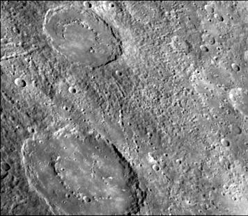
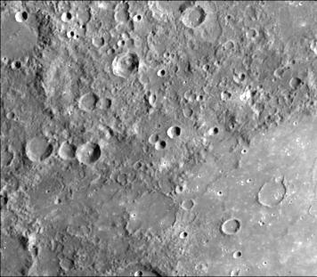
1999-10-07 | Mercury |
Mariner Venus Mercury (Mariner 10) |
356x311x1 | |
|
|||||
|
|
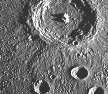
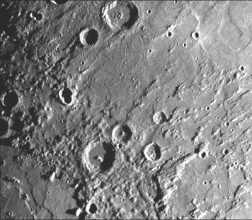
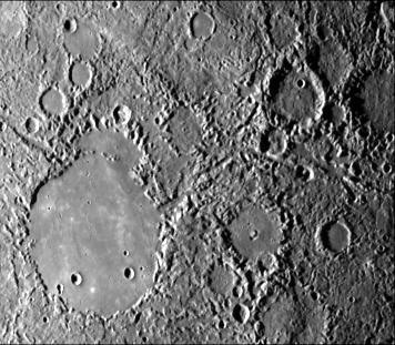
1999-10-07 | Mercury |
Mariner Venus Mercury (Mariner 10) |
300x352x1 | |
|
|||||
|
|
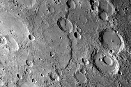
1999-10-07 | Mercury |
Mariner Venus Mercury (Mariner 10) |
208x655x1 | |
|
|
|||||
|
|
1999-10-07 | Mercury |
Mariner Venus Mercury (Mariner 10) |
775x1023x1 | |
|
|||||
|
|
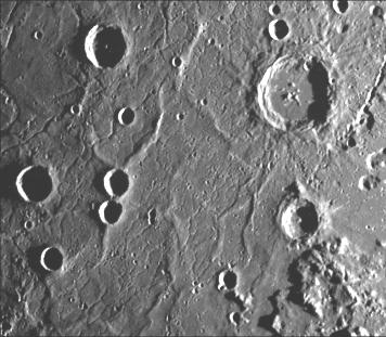
1999-10-08 | Mercury |
Mariner Venus Mercury (Mariner 10) |
356x311x1 | |

|
|||||
|
|
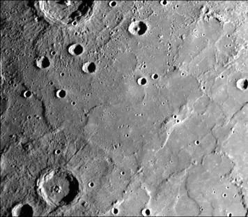
1999-10-08 | Mercury |
Mariner Venus Mercury (Mariner 10) |
356x311x1 | |

|
|||||
|
|
1999-10-08 | Mercury |
Mariner Venus Mercury (Mariner 10) |
356x311x1 | |
|
|||||
|
|
1999-10-08 | Mercury |
Mariner Venus Mercury (Mariner 10) |
356x311x1 | |
|
|||||
|
|
1999-10-08 | Mercury |
Mariner Venus Mercury (Mariner 10) |
356x311x1 | |

|
|||||
|
|
1999-10-08 | Mercury |
Mariner Venus Mercury (Mariner 10) |
348x302x1 | |
|
|||||
|
|
1999-10-08 | Mercury |
Mariner Venus Mercury (Mariner 10) |
335x250x1 | |

|
|||||
|
|
1999-10-08 | Mercury |
Mariner Venus Mercury (Mariner 10) |
220x700x1 | |
|
|
|||||
|
|
1999-10-14 | Neptune |
Voyager |
VG ISS - Narrow Angle |
800x500x1 |

|
|||||
|
|
1999-10-14 | Neptune |
Voyager |
VG ISS - Narrow Angle |
470x449x1 |
|
|||||
|
|
1999-10-14 | Neptune |
Voyager |
VG ISS - Narrow Angle |
970x921x1 |
|
|||||
|
|
1999-10-15 | Neptune |
Voyager |
VG ISS - Narrow Angle |
425x720x1 |
|
|||||
|
|
1999-10-29 | Neptune |
Voyager |
VG ISS - Narrow Angle |
400x400x1 |
|
|||||
|
|
1999-10-29 | Neptune |
Voyager |
VG ISS - Narrow Angle |
936x725x1 |
|
|||||
|
|
1999-11-18 | Earth |
TOPEX/Poseidon |
Altimeter |
902x900x3 |
|
|||||
|
|
1999-12-01 | Earth |
TOPEX/Poseidon |
Altimeter |
900x900x3 |
|
|||||
|
|
1999-12-07 | Mercury |
Mariner Venus Mercury (Mariner 10) |
356x311x1 | |

|
|||||
|
|
1999-12-07 | Mercury |
Mariner Venus Mercury (Mariner 10) |
1780x2414x1 | |
|
|||||
|
|
1999-12-07 | Mercury |
Mariner Venus Mercury (Mariner 10) |
213x275x3 | |
|
|||||
|
|
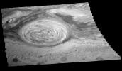
1999-12-10 | Saturn |
Voyager |
VG ISS - Narrow Angle |
900x1000x3 |
|
|||||
|
|
1999-12-10 | Saturn |
Voyager |
VG ISS - Narrow Angle |
690x700x3 |
|
|||||
|
|
1999-12-10 | Earth |
Voyager |
VG ISS - Narrow Angle |
200x200x3 |
|
|||||
|
|
1999-12-20 | Saturn |
Voyager |
VG ISS - Narrow Angle |
480x410x3 |
|
|||||
|
|
1999-12-21 | Earth |
Mariner Venus Mercury (Mariner 10) |
922x749x3 | |
|
|||||
|
|
2000-01-14 | Mercury |
Mariner Venus Mercury (Mariner 10) |
356x311x1 | |

|
|||||
|
|
2000-01-14 | Mercury |
Mariner Venus Mercury (Mariner 10) |
356x311x1 | |

|
|||||
|
|
2000-01-14 | Mercury |
Mariner Venus Mercury (Mariner 10) |
356x311x1 | |
|
|||||
|
|
2000-01-14 | Mercury |
Mariner Venus Mercury (Mariner 10) |
356x311x1 | |
|
|||||
|
|
2000-01-14 | Mercury |
Mariner Venus Mercury (Mariner 10) |
356x311x1 | |
|
|||||
|
|
2000-01-14 | Mercury |
Mariner Venus Mercury (Mariner 10) |
356x311x1 | |
|
|||||
|
|
2000-01-15 | Mercury |
Mariner Venus Mercury (Mariner 10) |
356x311x1 | |
|
|||||
|
|
2000-01-15 | Mercury |
Mariner Venus Mercury (Mariner 10) |
356x311x1 | |
|
|||||
|
|
2000-01-15 | Mercury |
Mariner Venus Mercury (Mariner 10) |
356x311x1 | |
|
|||||
|
|
2000-01-15 | Mercury |
Mariner Venus Mercury (Mariner 10) |
356x311x1 | |
|
|||||
|
|
2000-01-15 | Mercury |
Mariner Venus Mercury (Mariner 10) |
356x311x1 | |
|
|||||
|
|
2000-01-15 | Mercury |
Mariner Venus Mercury (Mariner 10) |
356x311x1 | |
|
|||||
|
|
2000-01-15 | Mercury |
Mariner Venus Mercury (Mariner 10) |
356x311x1 | |
|
|||||
|
|
2000-01-15 | Mercury |
Mariner Venus Mercury (Mariner 10) |
356x311x1 | |
|
|||||
|
|
2000-01-15 | Mercury |
Mariner Venus Mercury (Mariner 10) |
356x311x1 | |
|
|||||
|
|
2000-01-15 | Mercury |
Mariner Venus Mercury (Mariner 10) |
356x311x1 | |
|
|||||
|
|
2000-01-18 | Mercury |
Mariner Venus Mercury (Mariner 10) |
356x311x1 | |
|
|||||
|
|
2000-01-18 | Mercury |
Mariner Venus Mercury (Mariner 10) |
356x311x1 | |
|
|||||
|
|
2000-01-18 | Mercury |
Mariner Venus Mercury (Mariner 10) |
356x311x1 | |

|
|||||
|
|
2000-01-18 | Mercury |
Mariner Venus Mercury (Mariner 10) |
450x300x1 | |

|
|||||

|
 |
|
|
|
|
|
|
|
|
|

|
| 1-100 | 101-200 | 201-300 | 301-400 | 401-500 | 501-600 | 601-700 | 701-800 | 801-900 | 901-1000 |
| Currently displaying images: 1301 - 1400 of 19643 |