Your search criteria found
12748
images
Target is Mars (and available satellites)
Go to PIAxxxxx:
Refine this list of images by:
Target:
Deimos
Mars
Phobos
Mission:
2001 Mars Odyssey
Antarctic Meteorite Location and Mapping Project (AMLAMP)
Dawn
ExoMars
Hubble Space Telescope
InSight
MAVEN
Mariner Mars 1964 (Mariner 4)
Mariner Mars 1969 (Mariner 7)
Mariner Mars 1971 (Mariner 9)
Mars 2020
Mars 2020 Rover
Mars Atmosphere and Volatile Evolution MissioN (MAVEN)
Mars Climate Orbiter
Mars Cube One (MarCO)
Mars Exploration Rover (MER)
Mars Express (MEX)
Mars Global Surveyor (MGS)
Mars Helicopter
Mars Pathfinder (MPF)
Mars Reconnaissance Orbiter (MRO)
Mars Sample Return
Mars Sample Return (MSR)
Mars Science Laboratory (MSL)
Phoenix
Rosetta
Viking
Spacecraft:
2001 Mars Odyssey
Curiosity
Dawn
InSight Mars Lander
Ingenuity
MAVEN
MarCO-B
Mariner 4
Mariner 7
Mariner 9
Mars Climate Orbiter
Mars Express (MEX)
Mars Express (MEX) Orbiter
Mars Global Surveyor Orbiter
Mars Pathfinder Lander
Mars Pathfinder Rover
Mars Reconnaissance Orbiter (MRO)
Mars Sample Return
Mars Science Laboratory (MSL)
NASA's Mars Pathfinder Lander
Opportunity
Perseverance
Philae Lander
Phoenix Lander
Phoenix Mars Lander
Spirit
Viking Lander 1
Viking Lander 2
Viking Orbiter 1
Viking Orbiter 2
Instrument:
Alpha Particle X-ray Spectrometer
Alpha Particle X-ray Spectrometer (MSL)
Atmospheric Structure / Meteorology Instrument
CHIMRA
Camera 1
Camera 2
Chemistry & Mineralogy (CheMin)
Chemistry and Camera (ChemCam)
Comet Infrared and Visible Analyser (CIVA
Compact Reconnaissance Imaging Spectrometer for Mars (CRISM)
Context Camera (CTX)
Deep Space Network
Descent Image Motion Estimation System (DIMES)
Dynamic Albedo of Neutrons
Dynamic Albedo of Neutrons (DAN)
Gamma Ray Spectrometer - Neutron Spectrometer
Gamma Ray Spectrometer Suite
Hazard Avoidance Camera
Hazard Avoidance Camera (M2020)
Hazard Avoidance Camera (MSL)
Heat and Physical Properties Package (HP3)
High Resolution Imaging Science Experiment (HiRISE)
High Resolution Instrument (HRI)
High Resolution Stereo Camera
Imager for Mars Pathfinder
Imaging Ultraviolet Spectrograph
Imaging Ultraviolet Spectrograph (IUVS)
Instrument Context Camera (ICC)
Instrument Deployment Camera (IDC)
Lander Vision System Camera (LCAM)
Magnetometer
Mars Advanced Radar for Subsurface and Ionosphere Sounding (MARSIS)
Mars Advanced Radar for Subsurface and Ionospheric Sounding (MARSIS)
Mars Climate Sounder (MCS)
Mars Color Imager (MARCI)
Mars Descent Imager
Mars Environmental Dynamics Analyzer (MEDA)
Mars Hand Lens Imager (MAHLI)
Mars Horizon Sensor Assembly
Mars Orbiter Camera (MOC)
Mars Orbiter Laser Altimeter
Mars Radiation Experiment
Mastcam
Mastcam-Z
Microscopic Imager
Microscopy Electrochemistry and Conductivity Analyzer (MECA)
Miniature Thermal Emission Spectrometer
Moessbauer Spectrometer
Navigation Camera
Navigation Camera (M2020)
Navigation Camera (MSL)
Neutral Gas and Ion Mass Spectrometer
Neutron Spectrometer
Optical Microscope
Optical Navigation Camera
Panoramic Camera
Planetary Instrument for X-ray Lithochemistry (PIXL)
Radar System
Radiation Assessment Detector (RAD)
Radio Science Subsystem
Robotic Arm
Robotic Arm (MSL)
Robotic Arm Camera (RAC)
Rock Abrasion Tool (RAT)
Rover Cameras
Rover Environmental Monitoring Station (REMS)
Sample Analysis at Mars (SAM)
Scanning Habitable Environments with Raman & Luminescence for Organics and Chemicals (SHERLOC)
Seismic Experiment for Interior Structure (SEIS)
Shallow Subsurface Radar (SHARAD)
Stereo Imager (SSI)
SuperCam
Surface Stereo Imager (SSI)
Thermal Emission Imaging System
Thermal Emission Spectrometer
Thermal and Electrical Conductivity Probe
Thermal and Evolved Gas Analyzer
Trace Gas Orbiter
Visual Imaging Subsystem
Visual Imaging Subsystem - Camera A
Visual Imaging Subsystem - Camera B
Wide Field Planetary Camera 2
Click on an image for detailed information
Click on a column heading to sort in ascending or descending order
My
List
Addition Date
Target
Mission
Instrument
Size
2005-09-21
Mars
Mars Exploration Rover (MER)
Panoramic Camera
3833x1136x1
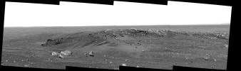
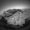
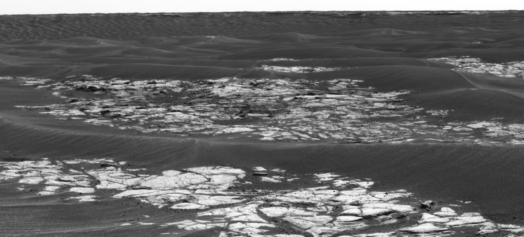
PIA04299:
Sand-Strewn Summit of "Husband Hill" on Mars
Full Resolution:
TIFF
(4.359 MB)
JPEG
(446.2 kB)
2005-09-22
Mars
Mars Global Surveyor (MGS)
Mars Orbiter Camera (MOC)
836x2217x1
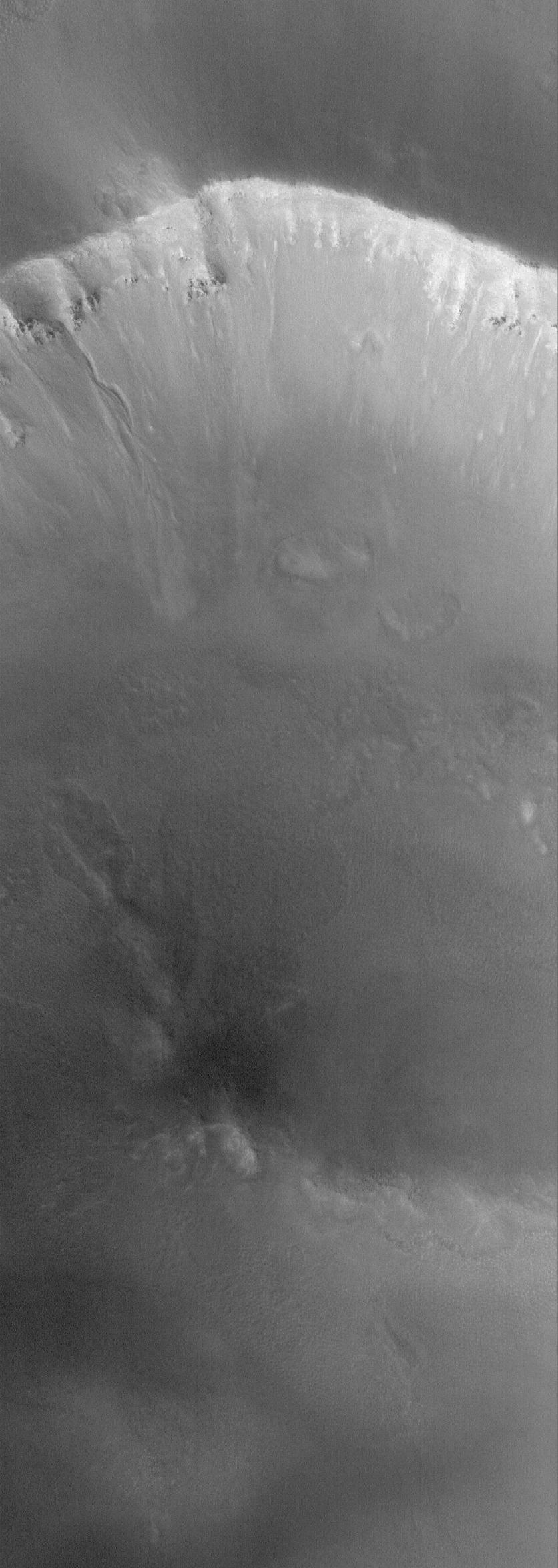
PIA06344:
South Polar Details
Full Resolution:
TIFF
(1.856 MB)
JPEG
(536.8 kB)
2005-09-23
Mars
Mars Global Surveyor (MGS)
Mars Orbiter Camera (MOC)
672x977x1
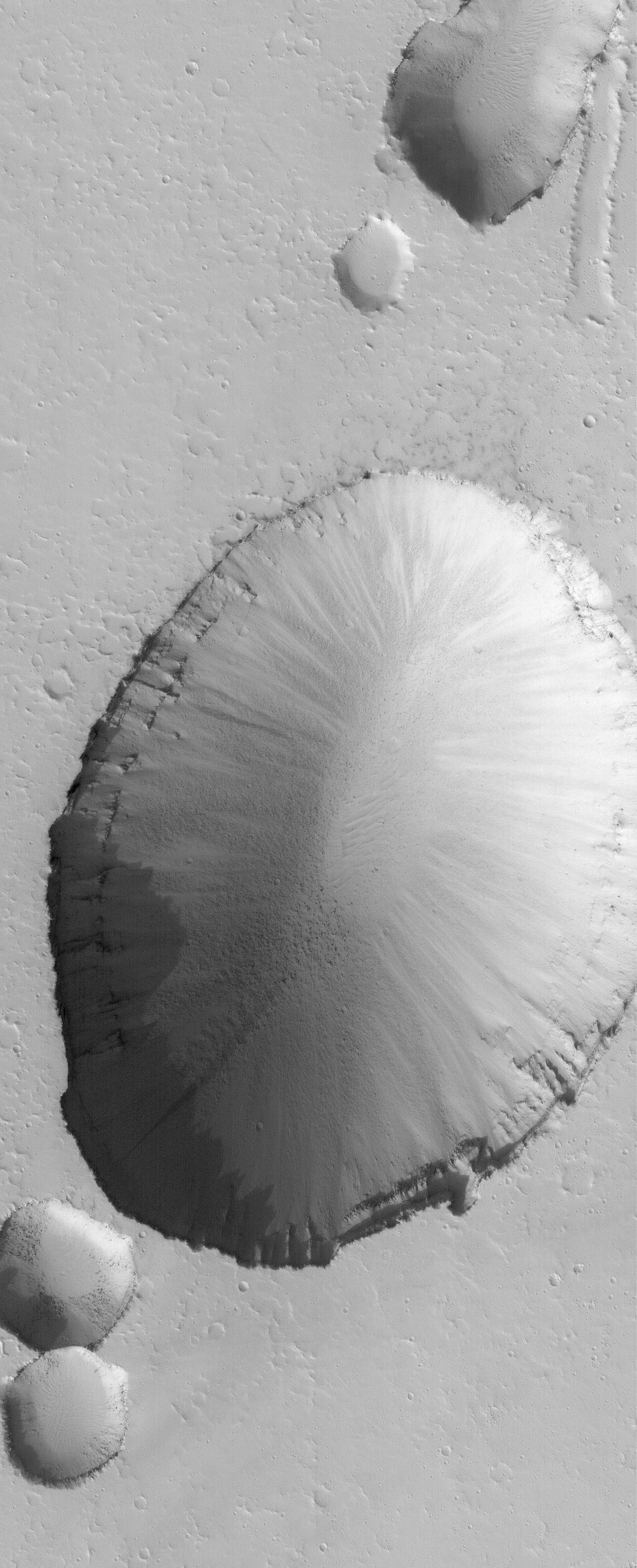
PIA06352:
Devilish Details
Full Resolution:
TIFF
(657.4 kB)
JPEG
(116 kB)
2005-09-24
Mars
Mars Global Surveyor (MGS)
Mars Orbiter Camera (MOC)
836x2822x1
PIA06353:
Pits on Ascraeus
Full Resolution:
TIFF
(2.362 MB)
JPEG
(339.7 kB)
2005-09-25
Mars
Mars Global Surveyor (MGS)
Mars Orbiter Camera (MOC)
836x1635x1
PIA06354:
Loire Dust Devil
Full Resolution:
TIFF
(1.369 MB)
JPEG
(192.3 kB)
2005-09-26
Mars
Mars Global Surveyor (MGS)
Mars Orbiter Camera (MOC)
512x826x1
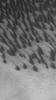
PIA06376:
High Latitude Polygons
Full Resolution:
TIFF
(423.6 kB)
JPEG
(105.2 kB)
2005-09-26
Mars
Mars Exploration Rover (MER)
Panoramic Camera
2154x975x1
PIA06341:
'Erebus Crater' on the Horizon
Full Resolution:
TIFF
(2.103 MB)
JPEG
(257.9 kB)
2005-09-27
Mars
Mars Global Surveyor (MGS)
Mars Orbiter Camera (MOC)
640x640x3
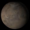
PIA06408:
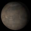
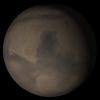
Mars at Ls 288�: Elysium/Mare Cimmerium
Full Resolution:
TIFF
(411.8 kB)
JPEG
(20.5 kB)
2005-09-28
Mars
Mars Global Surveyor (MGS)
Mars Orbiter Camera (MOC)
836x2351x1
PIA06413:
Gully in the North
Full Resolution:
TIFF
(1.968 MB)
JPEG
(216.2 kB)
2005-09-29
Mars
Mars Global Surveyor (MGS)
Mars Orbiter Camera (MOC)
2048x5042x1
PIA06416:
Collapse Pit
Full Resolution:
TIFF
(10.34 MB)
JPEG
(2.481 MB)
2005-09-29
Mars
Mars Exploration Rover (MER)
Microscopic Imager
512x512x1
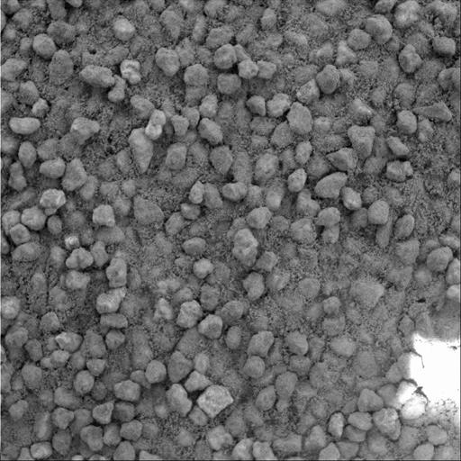
PIA06410:
Angular Grains of Sand Hint at Short Transport Distance
Full Resolution:
TIFF
(262.6 kB)
JPEG
(57.79 kB)
2005-09-30
Mars
Mars Global Surveyor (MGS)
Mars Orbiter Camera (MOC)
672x2432x1
PIA03006:
Enhanced by Frost
Full Resolution:
TIFF
(1.636 MB)
JPEG
(284.8 kB)
2005-10-01
Mars
Mars Global Surveyor (MGS)
Mars Orbiter Camera (MOC)
672x1580x1
PIA03007:
Defrosting South #2
Full Resolution:
TIFF
(1.063 MB)
JPEG
(351.9 kB)
2005-10-02
Mars
Mars Global Surveyor (MGS)
Mars Orbiter Camera (MOC)
2048x2944x1
PIA03008:
Frozen Frozen CO
2
Full Resolution:
TIFF
(6.035 MB)
JPEG
(1.576 MB)
2005-10-03
Mars
Mars Global Surveyor (MGS)
Mars Orbiter Camera (MOC)
672x957x1
PIA03009:
Defrosting Spots
Full Resolution:
TIFF
(644 kB)
JPEG
(180.1 kB)
2005-10-04
Mars
Mars Global Surveyor (MGS)
Mars Orbiter Camera (MOC)
640x640x3
PIA03016:
Mars at Ls 306�: Tharsis
Full Resolution:
TIFF
(411.8 kB)
JPEG
(21.36 kB)
2005-10-05
Mars
Mars Global Surveyor (MGS)
Mars Orbiter Camera (MOC)
672x1212x1
PIA03017:
Volcanic Pit Chain
Full Resolution:
TIFF
(815.5 kB)
JPEG
(116.9 kB)
2005-10-05
Mars
Mars Exploration Rover (MER)
Panoramic Camera
1461x567x3
PIA03014:
More Climbing Ahead
Full Resolution:
TIFF
(2.49 MB)
JPEG
(112.3 kB)
2005-10-06
Mars
Mars Global Surveyor (MGS)
Mars Orbiter Camera (MOC)
672x1245x1
PIA03018:
Arabian Crater
Full Resolution:
TIFF
(837.7 kB)
JPEG
(140.8 kB)
2005-10-06
Mars
2001 Mars Odyssey
THEMIS
978x3124x1
PIA03023:
Summer in the South
Full Resolution:
TIFF
(3.059 MB)
JPEG
(349.8 kB)
2005-10-07
Mars
Mars Global Surveyor (MGS)
Mars Orbiter Camera (MOC)
672x1031x1
PIA03019:
Secondary Craters
Full Resolution:
TIFF
(693.8 kB)
JPEG
(186 kB)
2005-10-07
Mars
2001 Mars Odyssey
THEMIS
516x6025x1
PIA03024:
Polar Etched Terrain
Full Resolution:
TIFF
(3.112 MB)
JPEG
(232.8 kB)
2005-10-08
Mars
Mars Global Surveyor (MGS)
Mars Orbiter Camera (MOC)
672x1211x1
PIA03020:
South Polar Scene
Full Resolution:
TIFF
(814.8 kB)
JPEG
(300.6 kB)
2005-10-09
Mars
Mars Global Surveyor (MGS)
Mars Orbiter Camera (MOC)
672x1600x1
PIA03021:
Martian Flows
Full Resolution:
TIFF
(1.077 MB)
JPEG
(173.5 kB)
2005-10-10
Mars
Mars Global Surveyor (MGS)
Mars Orbiter Camera (MOC)
2048x3649x1
PIA03022:
Dunes in Brashear
Full Resolution:
TIFF
(7.481 MB)
JPEG
(2.194 MB)
2005-10-10
Mars
2001 Mars Odyssey
THEMIS
1321x2882x1
PIA03025:
Channeled Winds
Full Resolution:
TIFF
(3.811 MB)
JPEG
(301.6 kB)
2005-10-11
Mars
2001 Mars Odyssey
THEMIS
964x2988x1
PIA03026:
Southern Clouds
Full Resolution:
TIFF
(2.884 MB)
JPEG
(346.1 kB)
2005-10-11
Mars
Mars Global Surveyor (MGS)
Mars Orbiter Camera (MOC)
640x640x3
PIA03027:
Mars at Ls 306�: Acidalia/Mare Erythraeum
Full Resolution:
TIFF
(411.8 kB)
JPEG
(22.77 kB)
2005-10-12
Mars
Mars Global Surveyor (MGS)
Mars Orbiter Camera (MOC)
823x2403x1
PIA03036:
Crater in Sabaeus
Full Resolution:
TIFF
(1.98 MB)
JPEG
(241.7 kB)
2005-10-12
Mars
2001 Mars Odyssey
THEMIS
1369x3192x1
PIA03039:
Dunes in Darwin Crater
Full Resolution:
TIFF
(4.375 MB)
JPEG
(356.1 kB)
2005-10-13
Mars
Mars Global Surveyor (MGS)
Mars Orbiter Camera (MOC)
672x1744x1
PIA03037:
Dike near Auqakuh
Full Resolution:
TIFF
(1.173 MB)
JPEG
(170.6 kB)
2005-10-13
Mars
2001 Mars Odyssey
THEMIS
1372x3038x1
PIA03040:
Pavonis Mons Flank
Full Resolution:
TIFF
(4.173 MB)
JPEG
(404.4 kB)
2005-10-14
Mars
Mars Global Surveyor (MGS)
Mars Orbiter Camera (MOC)
672x1104x1
PIA03038:
Filled/Eroded Craters
Full Resolution:
TIFF
(742.9 kB)
JPEG
(267.6 kB)
2005-10-14
Mars
2001 Mars Odyssey
THEMIS
1350x2934x1
PIA03041:
Melas Chasma Landslide
Full Resolution:
TIFF
(3.965 MB)
JPEG
(204.5 kB)
2005-10-14
Mars
Mars Exploration Rover (MER)
Hazcam
1024x1024x2
PIA03035:
Spirit Wiggles into Position
Full Resolution:
TIFF
(1.05 MB)
JPEG
(116.3 kB)
2005-10-15
Mars
Mars Global Surveyor (MGS)
Mars Orbiter Camera (MOC)
669x867x1
PIA03042:
Defrosting Patterns
Full Resolution:
TIFF
(580.8 kB)
JPEG
(100.8 kB)
2005-10-16
Mars
Mars Global Surveyor (MGS)
Mars Orbiter Camera (MOC)
836x2253x1
PIA03043:
Cerberus Flood Features
Full Resolution:
TIFF
(1.886 MB)
JPEG
(359.7 kB)
2005-10-17
Mars
Mars Global Surveyor (MGS)
Mars Orbiter Camera (MOC)
604x604x1
PIA03044:
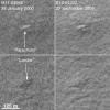
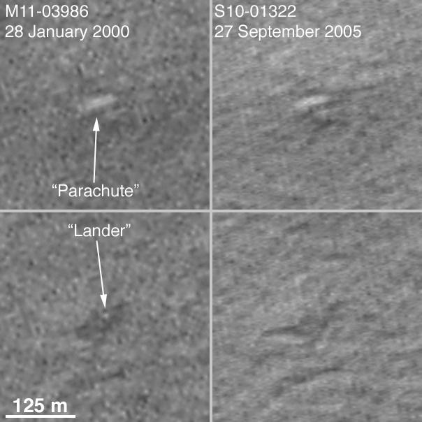
Mars Polar Lander NOT Found
Full Resolution:
TIFF
(365.4 kB)
JPEG
(40.91 kB)
2005-10-17
Mars
2001 Mars Odyssey
THEMIS
1379x3037x1
PIA03046:
Iani Chaos
Full Resolution:
TIFF
(4.193 MB)
JPEG
(351.7 kB)
2005-10-18
Mars
Mars Global Surveyor (MGS)
Mars Orbiter Camera (MOC)
640x640x3
PIA03045:
Mars at Ls 306�: Syrtis Major
Full Resolution:
TIFF
(411.8 kB)
JPEG
(22.31 kB)
2005-10-18
Mars
2001 Mars Odyssey
THEMIS
1111x2755x1
PIA03047:
Dunes on Plains
Full Resolution:
TIFF
(3.064 MB)
JPEG
(319.7 kB)
2005-10-19
Mars
Mars Global Surveyor (MGS)
Mars Orbiter Camera (MOC)
672x1599x1
PIA03049:
Martian Lava Flows
Full Resolution:
TIFF
(1.076 MB)
JPEG
(300 kB)
2005-10-19
Mars
2001 Mars Odyssey
THEMIS
1369x2972x1
PIA03052:
Dust Devil Tracks
Full Resolution:
TIFF
(4.074 MB)
JPEG
(517.3 kB)
2005-10-20
Mars
Mars Global Surveyor (MGS)
Mars Orbiter Camera (MOC)
1024x2016x1
PIA03050:
Wind Streak in Daedalia
Full Resolution:
TIFF
(2.067 MB)
JPEG
(580.2 kB)
2005-10-20
Mars
2001 Mars Odyssey
THEMIS
1240x2737x1
PIA03053:
Syrtis Major Windstreaks
Full Resolution:
TIFF
(3.398 MB)
JPEG
(354 kB)
2005-10-21
Mars
2001 Mars Odyssey
THEMIS
1355x3043x1
PIA03054:
Lava Flows
Full Resolution:
TIFF
(4.128 MB)
JPEG
(485 kB)
2005-10-21
Mars
Mars Global Surveyor (MGS)
Mars Orbiter Camera (MOC)
836x1615x1
PIA03051:
Sirenum Fossae Troughs
Full Resolution:
TIFF
(1.352 MB)
JPEG
(173.3 kB)
2005-10-21
Mars
Mars Exploration Rover (MER)
Navigation Camera
7466x1208x1
PIA03057:
Looking Back at Spirit's Trail to the Summit
Full Resolution:
TIFF
(9.029 MB)
JPEG
(824.6 kB)
2005-10-21
Mars
Mars Exploration Rover (MER)
Navigation Camera
7704x1600x3
PIA03058:
Looking Back at Spirit's Trail to the Summit (Stereo)
Full Resolution:
TIFF
(36.98 MB)
JPEG
(1.043 MB)
2005-10-21
Mars
Mars Exploration Rover (MER)
Navigation Camera
4257x4257x1
PIA03059:
Looking Back at Spirit's Trail to the Summit (Vertical)
Full Resolution:
TIFF
(18.16 MB)
JPEG
(1.088 MB)
2005-10-21
Mars
Mars Exploration Rover (MER)
Navigation Camera
4000x4000x1
PIA03060:
Looking Back at Spirit's Trail to the Summit (Polar)
Full Resolution:
TIFF
(16.02 MB)
JPEG
(936.8 kB)
2005-10-21
Mars
Mars Exploration Rover (MER)
Navigation Camera
4094x1010x1
PIA03061:
After Conquering 'Husband Hill,' Spirit Moves On
Full Resolution:
TIFF
(4.139 MB)
JPEG
(401.8 kB)
2005-10-21
Mars
Mars Exploration Rover (MER)
Navigation Camera
4225x1199x3
PIA03062:
After Conquering 'Husband Hill,' Spirit Moves On (Stereo)
Full Resolution:
TIFF
(15.2 MB)
JPEG
(466.6 kB)
2005-10-21
Mars
Mars Exploration Rover (MER)
Navigation Camera
2000x2000x1
PIA03063:
After Conquering 'Husband Hill,' Spirit Moves On (Vertical)
Full Resolution:
TIFF
(4.004 MB)
JPEG
(336.1 kB)
2005-10-21
Mars
Mars Exploration Rover (MER)
Navigation Camera
4093x4093x1
PIA03064:
After Conquering 'Husband Hill,' Spirit Moves On (Polar)
Full Resolution:
TIFF
(16.77 MB)
JPEG
(1.04 MB)
2005-10-22
Mars
Mars Exploration Rover (MER)
Panoramic Camera
901x1008x1
PIA03065:
Dodging the Drifts
Full Resolution:
TIFF
(909.3 kB)
JPEG
(99.04 kB)
2005-10-22
Mars
Mars Global Surveyor (MGS)
Mars Orbiter Camera (MOC)
672x1357x1
PIA03066:
Zephyria Platy Flows
Full Resolution:
TIFF
(913 kB)
JPEG
(301.9 kB)
2005-10-23
Mars
Mars Global Surveyor (MGS)
Mars Orbiter Camera (MOC)
672x1921x1
PIA03067:
East Arabia Scene
Full Resolution:
TIFF
(1.292 MB)
JPEG
(275.4 kB)
2005-10-24
Mars
2001 Mars Odyssey
THEMIS
1336x2870x1
PIA03078:
Cone on Olympus Mons
Full Resolution:
TIFF
(3.838 MB)
JPEG
(392.8 kB)
2005-10-25
Mars
Mars Global Surveyor (MGS)
Mars Orbiter Camera (MOC)
640x640x3
PIA03069:
Mars at Ls 306�: Elysium/Mare Cimmerium
Full Resolution:
TIFF
(411.8 kB)
JPEG
(21.17 kB)
2005-10-25
Mars
2001 Mars Odyssey
THEMIS
1389x3019x1
PIA03079:
Dunes
Full Resolution:
TIFF
(4.198 MB)
JPEG
(265.8 kB)
2005-10-26
Mars
Mars Global Surveyor (MGS)
Mars Orbiter Camera (MOC)
672x1968x1
PIA03071:
Exhuming Landforms
Full Resolution:
TIFF
(1.324 MB)
JPEG
(289.1 kB)
2005-10-26
Mars
2001 Mars Odyssey
THEMIS
1327x2880x1
PIA03080:
Candor Chasma Floor
Full Resolution:
TIFF
(3.826 MB)
JPEG
(266.4 kB)
2005-10-26
Mars
Mars Exploration Rover (MER)
Panoramic Camera
4158x1050x1
PIA03070:
Stargazing at 'Husband Hill Observatory' on Mars
Full Resolution:
TIFF
(4.375 MB)
JPEG
(184.5 kB)
2005-10-27
Mars
Mars Global Surveyor (MGS)
Mars Orbiter Camera (MOC)
2048x4800x1
PIA03072:
Oudemans Layers
Full Resolution:
TIFF
(9.84 MB)
JPEG
(1.832 MB)
2005-10-27
Mars
2001 Mars Odyssey
THEMIS
1350x2913x1
PIA03081:
Gullies
Full Resolution:
TIFF
(3.937 MB)
JPEG
(281.1 kB)
2005-10-28
Mars
2001 Mars Odyssey
THEMIS
1377x3035x1
PIA03082:
Crater Fill
Full Resolution:
TIFF
(4.184 MB)
JPEG
(398.9 kB)
2005-10-28
Mars
Mars Global Surveyor (MGS)
Mars Orbiter Camera (MOC)
836x2547x1
PIA03073:
Flows in Kasei
Full Resolution:
TIFF
(2.132 MB)
JPEG
(442.2 kB)
2005-10-29
Mars
Mars Global Surveyor (MGS)
Mars Orbiter Camera (MOC)
672x2432x1
PIA03074:
Crater and Flows
Full Resolution:
TIFF
(1.636 MB)
JPEG
(382.8 kB)
2005-10-30
Mars
Mars Global Surveyor (MGS)
Mars Orbiter Camera (MOC)
836x1484x1
PIA03075:
East Arabia Mesas
Full Resolution:
TIFF
(1.242 MB)
JPEG
(215.5 kB)
2005-10-31
Mars
Mars Global Surveyor (MGS)
Mars Orbiter Camera (MOC)
672x1200x1
PIA03076:
South Polar Mesas
Full Resolution:
TIFF
(807.4 kB)
JPEG
(97.96 kB)
2005-10-31
Mars
2001 Mars Odyssey
THEMIS
959x2794x1
PIA03083:
Polar Layers
Full Resolution:
TIFF
(2.682 MB)
JPEG
(523.1 kB)
2005-11-01
Mars
Mars Global Surveyor (MGS)
Mars Orbiter Camera (MOC)
640x640x3
PIA03077:
Mars at Ls 324�: Tharsis
Full Resolution:
TIFF
(411.8 kB)
JPEG
(20.87 kB)
2005-11-01
Mars
2001 Mars Odyssey
THEMIS
1401x3032x1
PIA03084:
Fractured Surface
Full Resolution:
TIFF
(4.253 MB)
JPEG
(415.3 kB)
2005-11-02
Mars
Mars Global Surveyor (MGS)
Mars Orbiter Camera (MOC)
1024x1728x1
PIA03085:
Terby's Layers
Full Resolution:
TIFF
(1.771 MB)
JPEG
(232 kB)
2005-11-02
Mars
2001 Mars Odyssey
THEMIS
1239x2737x1
PIA03086:
Dust on the Move
Full Resolution:
TIFF
(3.395 MB)
JPEG
(325.7 kB)
2005-11-03
Mars
Mars Global Surveyor (MGS)
Mars Orbiter Camera (MOC)
1024x1908x1
PIA03087:
Isidis Planitia
Full Resolution:
TIFF
(1.956 MB)
JPEG
(341.1 kB)
2005-11-03
Mars
2001 Mars Odyssey
THEMIS
977x2990x1
PIA03092:
Southern Spots
Full Resolution:
TIFF
(2.924 MB)
JPEG
(293.3 kB)
2005-11-04
Mars
Mars Global Surveyor (MGS)
Mars Orbiter Camera (MOC)
1024x2128x1
PIA03088:
Ophir Landslide
Full Resolution:
TIFF
(2.181 MB)
JPEG
(293.3 kB)
2005-11-04
Mars
2001 Mars Odyssey
THEMIS
1109x3085x1
PIA03093:
Ridges Down South
Full Resolution:
TIFF
(3.425 MB)
JPEG
(322.5 kB)
2005-11-05
Mars
Mars Global Surveyor (MGS)
Mars Orbiter Camera (MOC)
1024x2568x1
PIA03089:
Russell Dune Gullies
Full Resolution:
TIFF
(2.632 MB)
JPEG
(285.9 kB)
2005-11-06
Mars
Mars Global Surveyor (MGS)
Mars Orbiter Camera (MOC)
836x1470x1
PIA03090:
Sedimentary Rocks
Full Resolution:
TIFF
(1.23 MB)
JPEG
(185.8 kB)
2005-11-07
Mars
Mars Global Surveyor (MGS)
Mars Orbiter Camera (MOC)
672x1674x1
PIA03091:
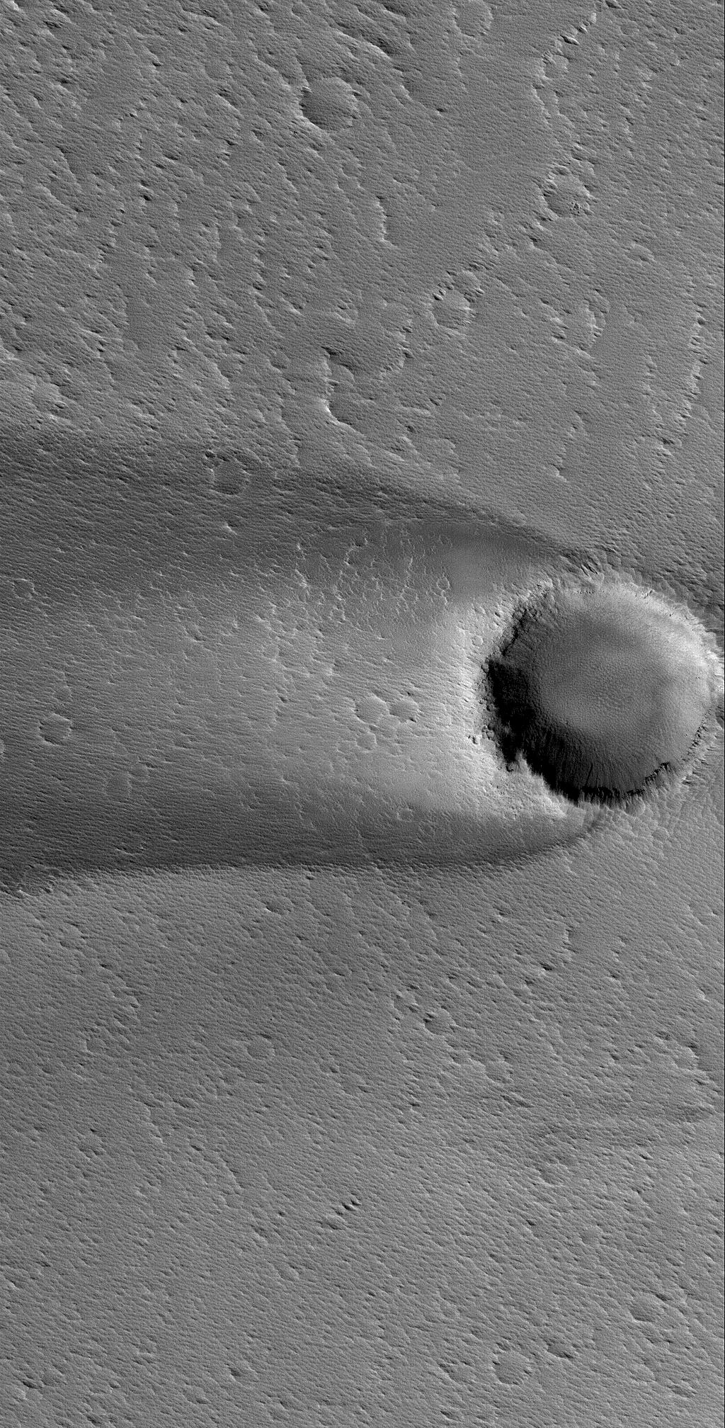
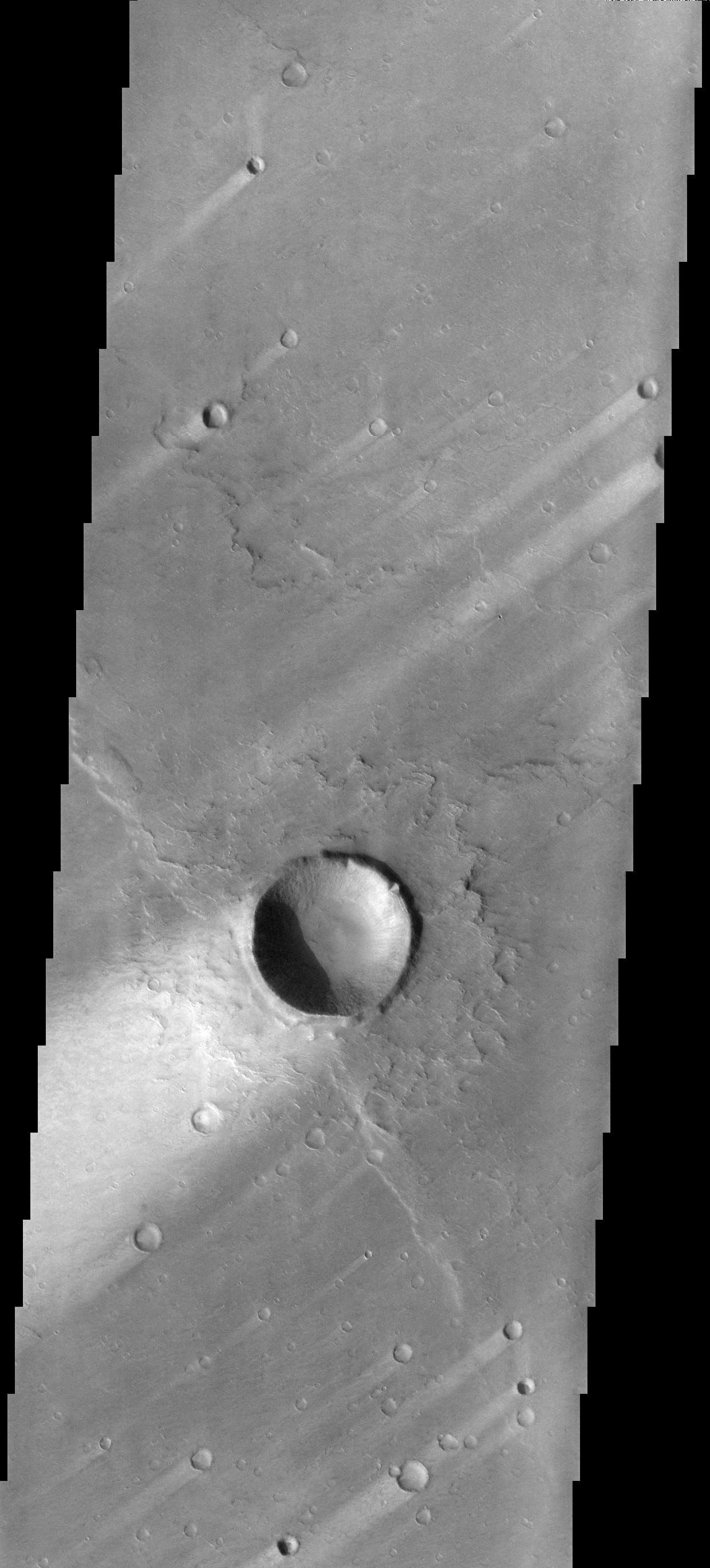
Impact Crater
Full Resolution:
TIFF
(1.126 MB)
JPEG
(213.4 kB)
2005-11-07
Mars
2001 Mars Odyssey
THEMIS
1343x2943x1
PIA03094:
Lava Layers
Full Resolution:
TIFF
(3.957 MB)
JPEG
(835.6 kB)
2005-11-07
Mars
Mars Exploration Rover (MER)
Panoramic Camera
22348x2697x3
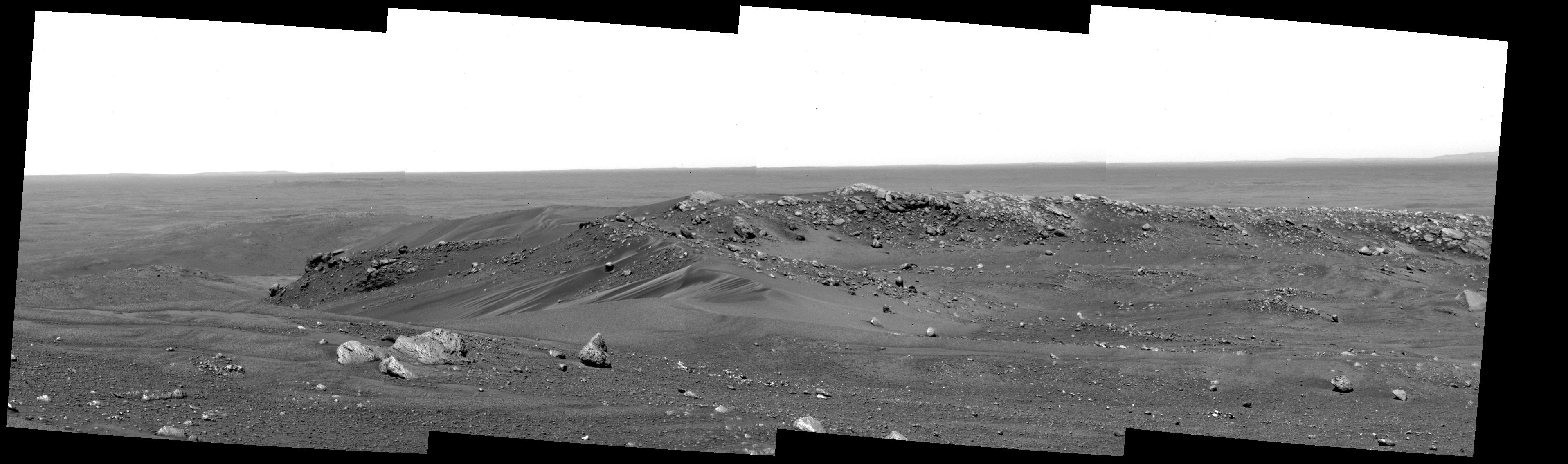
PIA03095:
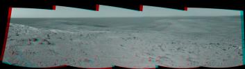
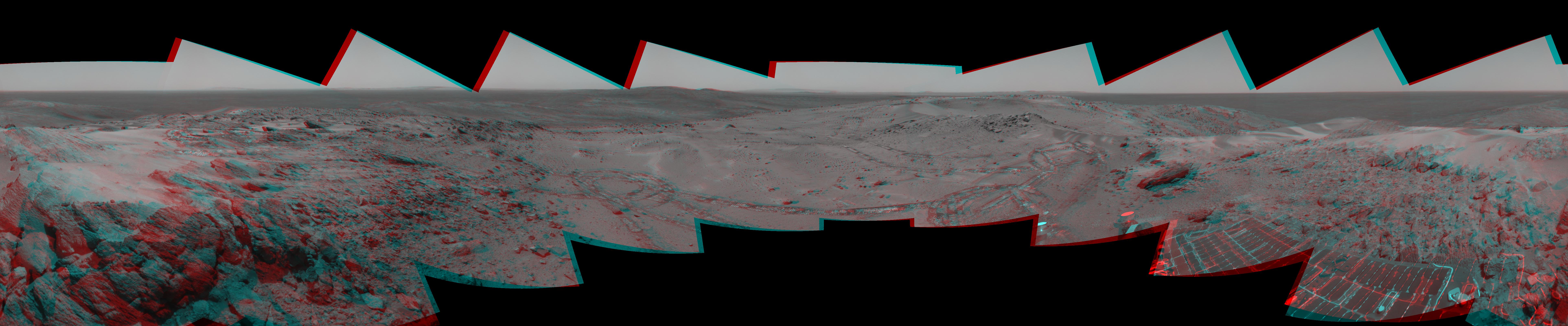
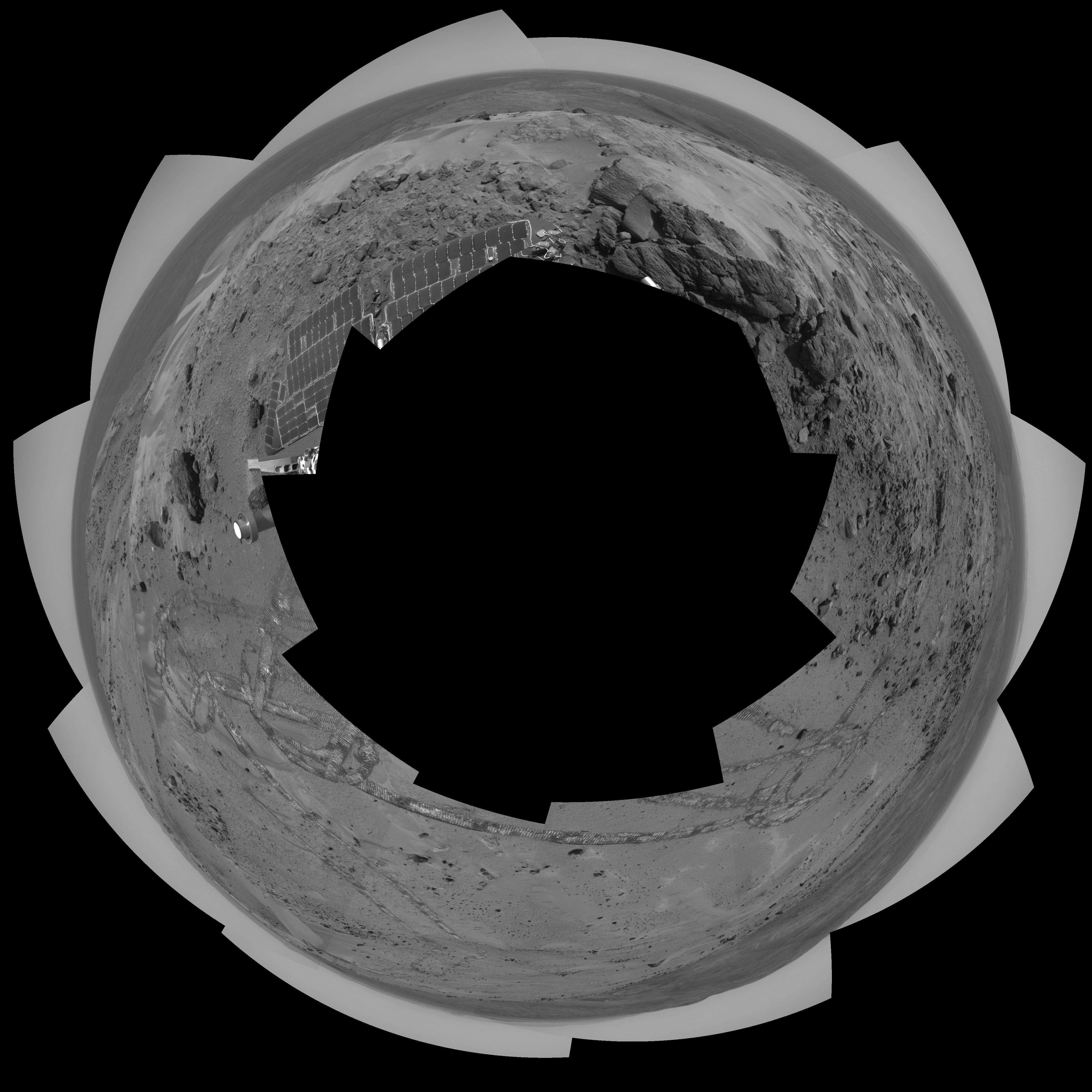
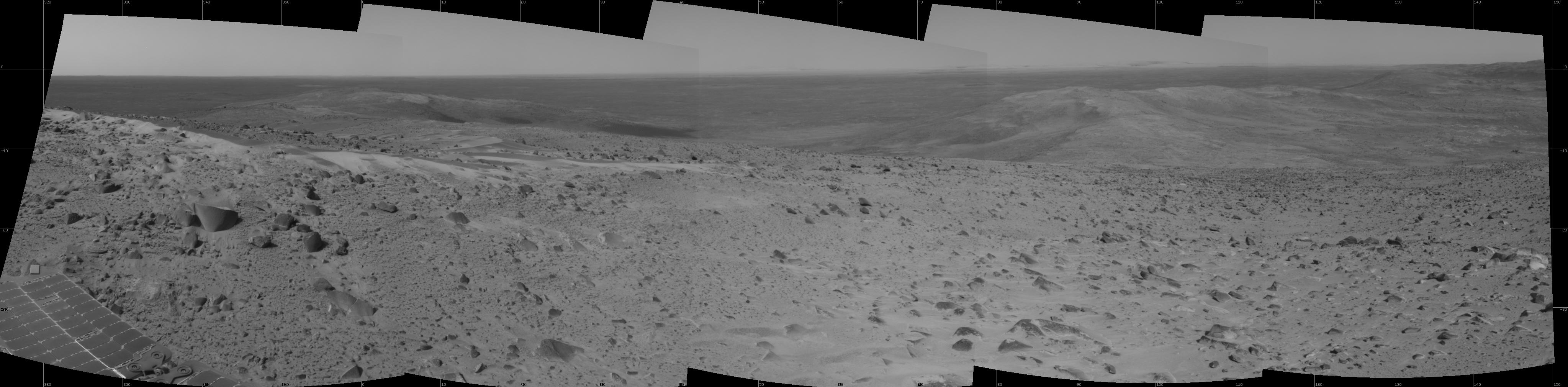
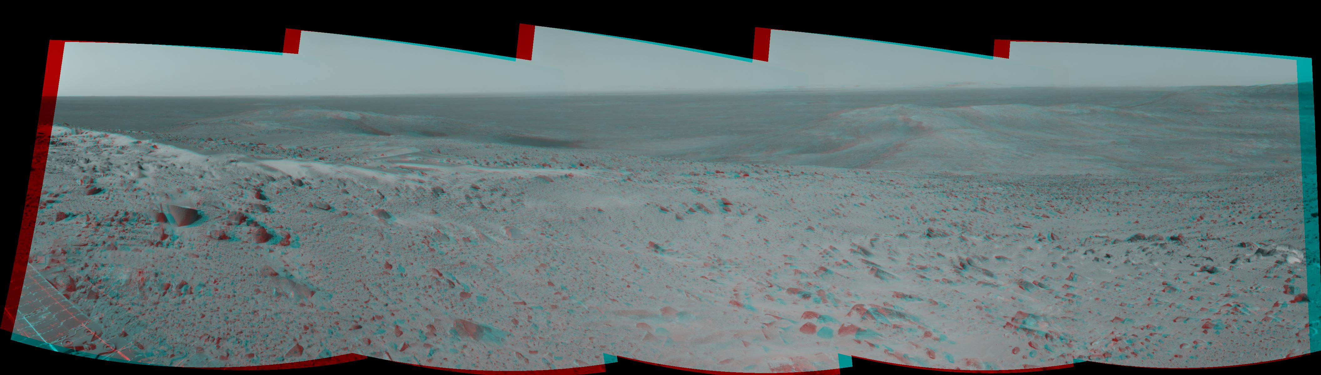
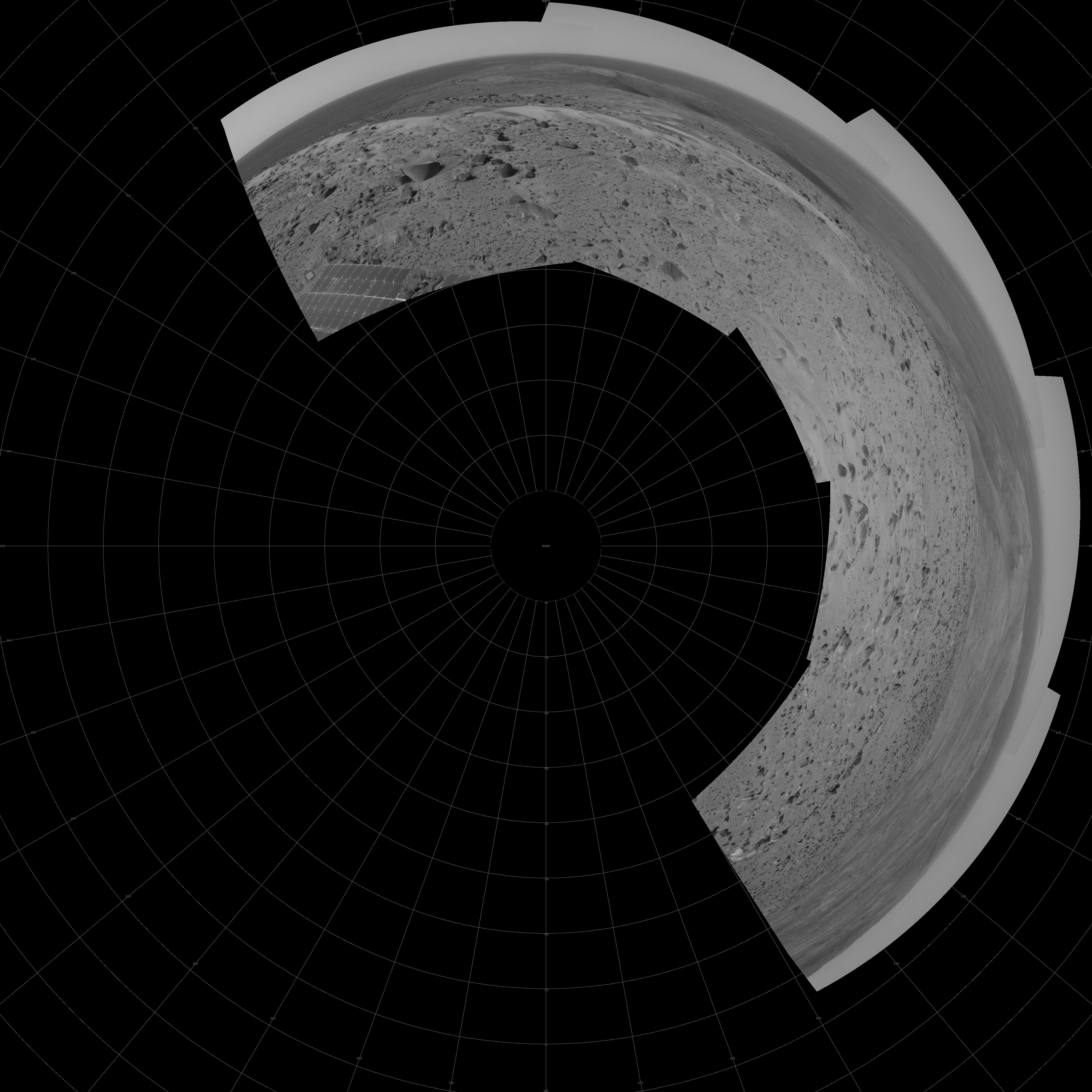
'Everest' Panorama; 20-20 Vision
Full Resolution:
TIFF
(180.8 MB)
JPEG
(6.484 MB)
QTVR
(7.545 MB)
2005-11-08
Mars
Mars Global Surveyor (MGS)
Mars Orbiter Camera (MOC)
640x640x3
PIA03097:
Mars at Ls 324�: Acidalia/Mare Erythraeum
Full Resolution:
TIFF
(411.8 kB)
JPEG
(21.83 kB)
2005-11-08
Mars
2001 Mars Odyssey
THEMIS
1083x2755x1
PIA03190:
Lyell Gullies
Full Resolution:
TIFF
(2.987 MB)
JPEG
(372.3 kB)
2005-11-09
Mars
Mars Global Surveyor (MGS)
Mars Orbiter Camera (MOC)
672x2432x1
PIA03098:
Defrosting Terrain
Full Resolution:
TIFF
(1.636 MB)
JPEG
(292.1 kB)
2005-11-09
Mars
2001 Mars Odyssey
THEMIS
946x2959x1
PIA03191:
Surface Texture
Full Resolution:
TIFF
(2.802 MB)
JPEG
(452.8 kB)
2005-11-10
Mars
Mars Global Surveyor (MGS)
Mars Orbiter Camera (MOC)
836x1666x1
PIA03099:
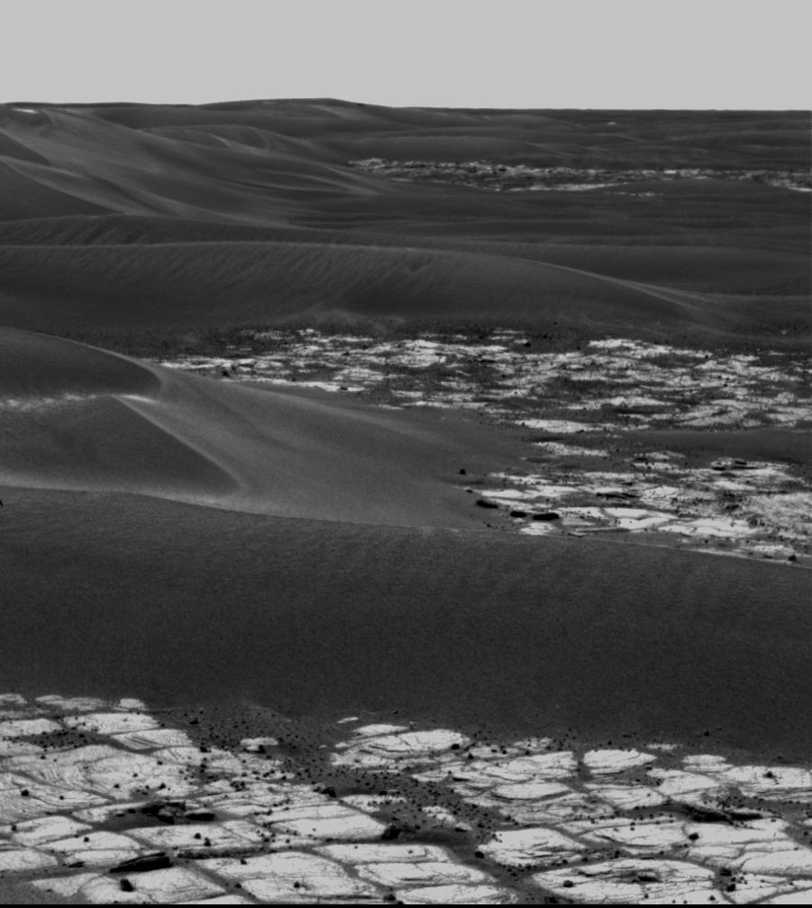
Herschel's Dunes
Full Resolution:
TIFF
(1.394 MB)
JPEG
(150.3 kB)
2005-11-10
Mars
2001 Mars Odyssey
THEMIS
1335x2929x1
PIA03192:
Holden Crater Dunes
Full Resolution:
TIFF
(3.914 MB)
JPEG
(327.3 kB)
2005-11-11
Mars
Mars Global Surveyor (MGS)
Mars Orbiter Camera (MOC)
836x2547x1
PIA03189:
East Arabia Landforms
Full Resolution:
TIFF
(2.132 MB)
JPEG
(314.7 kB)
2005-11-11
Mars
2001 Mars Odyssey
THEMIS
1357x2928x1
PIA03193:
Dissected Plateau
Full Resolution:
TIFF
(3.977 MB)
JPEG
(209.2 kB)
2005-11-11
Mars
Mars Exploration Rover (MER)
Panoramic Camera
7466x1085x1
PIA03194:
A Sense of Place
Full Resolution:
TIFF
(8.11 MB)
JPEG
(1.174 MB)
2005-11-12
Mars
Mars Global Surveyor (MGS)
Mars Orbiter Camera (MOC)
836x1568x1
PIA03195:
Zephyria Flows
Full Resolution:
TIFF
(1.312 MB)
JPEG
(278 kB)
2005-11-13
Mars
Mars Global Surveyor (MGS)
Mars Orbiter Camera (MOC)
836x2675x1
PIA03196:
Ascraeus Pits
Full Resolution:
TIFF
(2.239 MB)
JPEG
(259.7 kB)
2005-11-14
Mars
Mars Global Surveyor (MGS)
Mars Orbiter Camera (MOC)
836x2057x1
PIA03197:
White Rock
Full Resolution:
TIFF
(1.722 MB)
JPEG
(359.1 kB)
2005-11-14
Mars
2001 Mars Odyssey
THEMIS
912x6277x1
PIA03199:
Polar Gullies
Full Resolution:
TIFF
(5.731 MB)
JPEG
(290.8 kB)
2005-11-15
Mars
Mars Global Surveyor (MGS)
Mars Orbiter Camera (MOC)
640x640x3
PIA03198:
Mars at Ls 324�: Syrtis Major
Full Resolution:
TIFF
(411.8 kB)
JPEG
(21.8 kB)
2005-11-15
Mars
2001 Mars Odyssey
THEMIS
1355x2922x1
PIA03200:
Iani Chaos
Full Resolution:
TIFF
(3.963 MB)
JPEG
(433.6 kB)
1-100
101-200
201-300
301-400
401-500
501-600
601-700
701-800
801-900
901-1000
Currently displaying images:
3801 - 3900
of 12748


