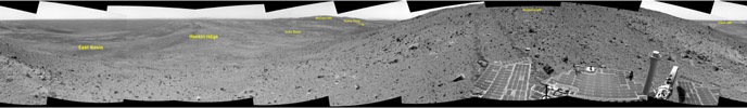
Labeled image for A Sense of PlaceNASA's Mars Exploration rover Spirit continues to descend along the east side of the "Columbia Hills," taking panoramic views of surrounding terrain at the end of each day of driving. This helps members of the science team get a sense of place before proceeding, kind of the way a hiker pauses now and then to view the scenery. Scientists and engineers use panoramas like this to select interesting rocks and soils for further study and to plan a safe path for the rover.
In this image mosaic, Spirit is pausing to take a good look around while descending due east toward a ridge nicknamed "Haskin Ridge." Before driving the rest of the way down, Spirit will take a panoramic image of the large, deep basin to the left of the ridge, labeled "East Basin," which was not visible from the summit. A longer-term destination is the prominent, round, platform-like feature labeled "Home Plate."
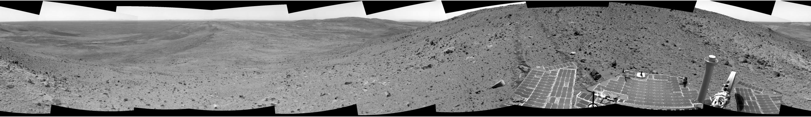
This 360-degree panorama was assembled from images Spirit took with its navigation camera on the 651st martian day, or sol (Nov. 2, 2005), of its exploration of Gusev Crater on Mars. The view is presented in a cylindrical projection with geometric seam correction.
