|
Your search criteria found 1156 images Collection Type |
| My List |
Addition Date | Target |
Mission
|
Instrument | Size |

|
2017-10-16 | S Rings |
Cassini-Huygens |
UVIS |
450x450x3 |
|
|||||
|
|
2018-09-24 | Titan |
Cassini-Huygens |
Visual and Infrared Mapping Spectrometer |
1250x1250x3 |
|
|||||
|
|
2020-09-18 | Enceladus |
Cassini-Huygens |
Visual and Infrared Mapping Spectrometer |
2160x1440x3 |
|
|||||
|
|
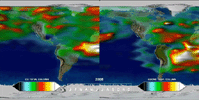
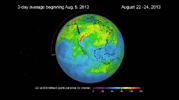
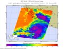
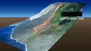
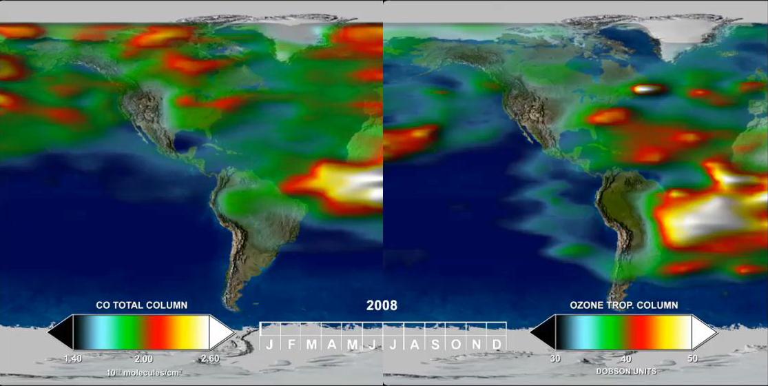
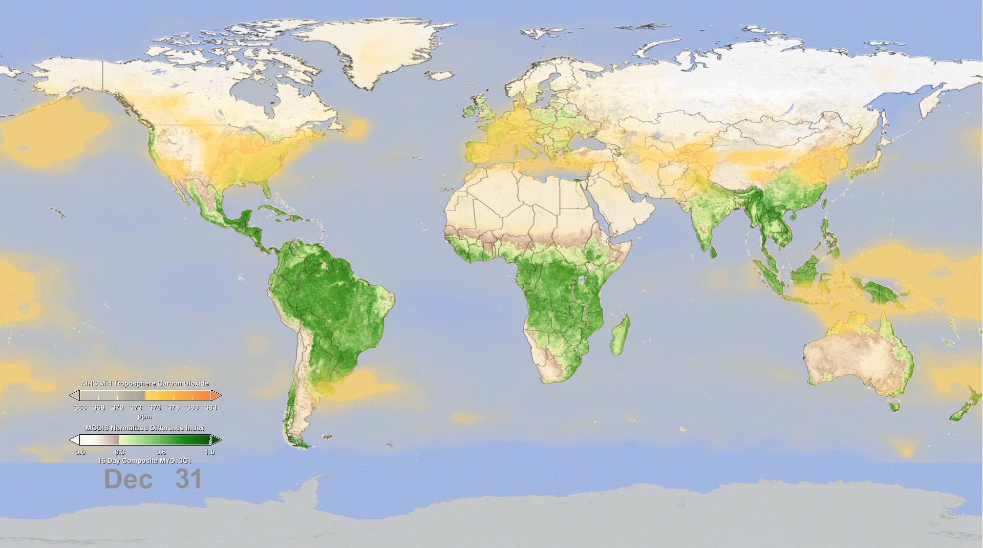
2005-06-02 | Earth |
Aura |
MLS |
720x540x3 |
|
|||||
|
|
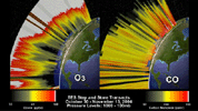
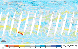
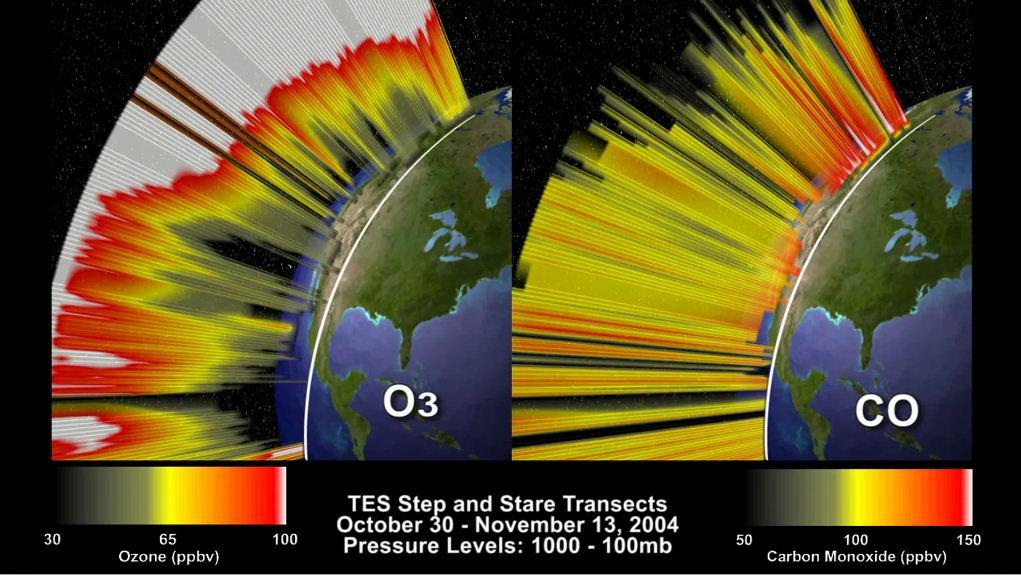
2012-02-06 | Earth |
Aura |
TES |
1115x560x3 |
|
|||||
|
|
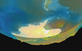
2012-02-06 | Earth |
Aura |
TES |
1021x575x3 |
|
|||||
|
|
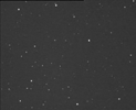
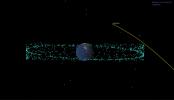
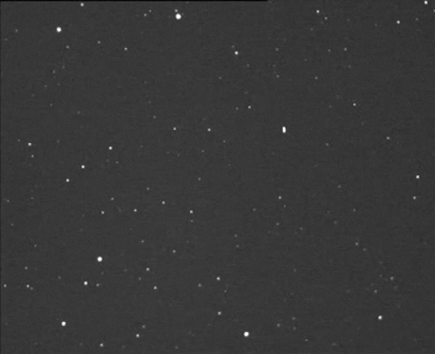
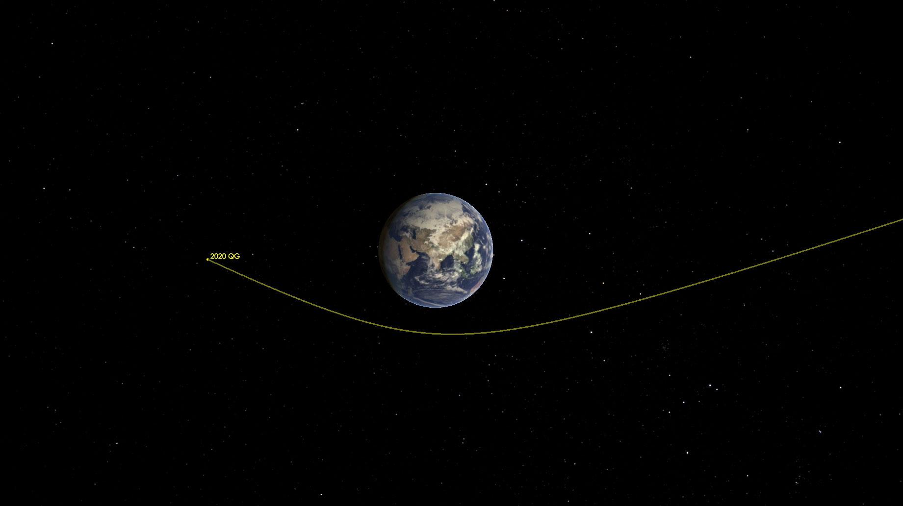
2013-02-15 | Asteroid |
Astronomical Observatory of Mallorca |
La Sagra Sky Survey |
880x717x1 |
|
|||||
|
|
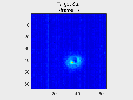
2018-04-13 |
ASTERIA |
175x175x3 | ||
|
|||||
|
|
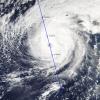
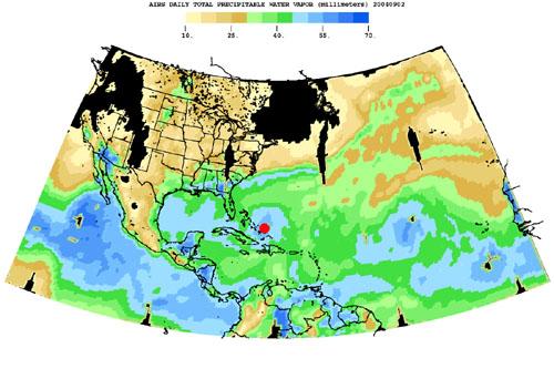
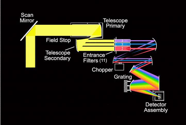
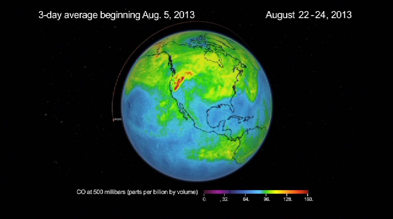
2004-08-30 | Earth |
Aqua |
AIRS |
500x342x3 |
|
|||||
|
|
2008-09-17 |
Aqua |
AIRS |
722x485x3 | |
|
|||||
|
|
2009-09-04 | Earth |
Aqua |
AIRS |
640x500x3 |
|
|||||
|
|
2011-07-26 | Earth |
Aqua |
AIRS |
1276x744x3 |
|
|||||
|
|
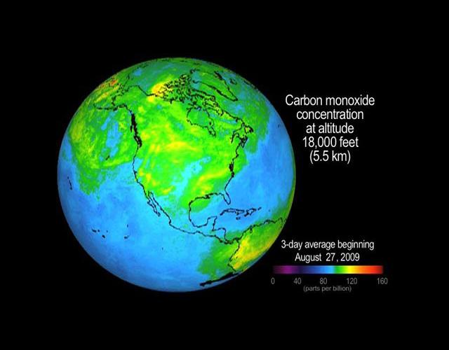
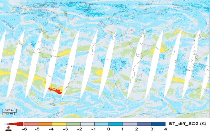
2012-06-29 | Earth |
Aqua |
AIRS MODIS |
1920x1070x3 |

|
|||||
|
|
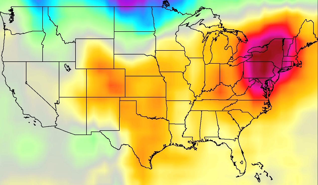
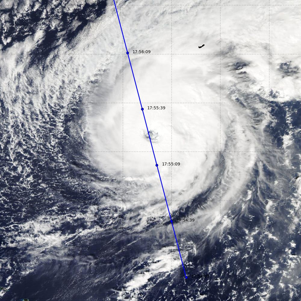
2013-08-27 | Earth |
Aqua |
AIRS |
1279x713x3 |
|
|||||
|
|
2015-05-07 | Earth |
Aqua |
AIRS |
737x467x3 |
|
|||||
|
|
2016-05-11 | Earth |
Aqua |
AIRS |
914x569x3 |
|
|||||
|
|
2016-10-14 | Earth |
Aqua |
MODIS VIIRS |
1000x1000x3 |
|
|||||
|
|
2017-01-13 | Earth |
Aqua |
AIRS |
649x464x3 |
|
|||||
|
|
2017-09-08 | Earth |
Aqua |
AIRS |
1920x1080x3 |

|
|||||
|
|
2018-08-14 | Earth |
Aqua |
AIRS |
950x534x3 |
|
|||||
|
|
2019-01-31 | Earth |
Aqua |
AIRS |
1395x783x3 |
|
|||||
|
|
2019-08-23 | Earth |
Aqua |
AIRS |
1400x787x3 |
|
|||||
|
|
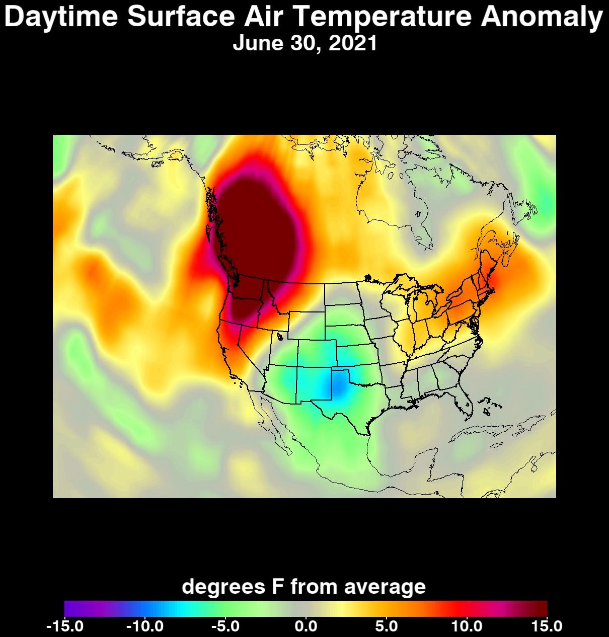
2021-07-08 | Earth |
Aqua |
AIRS |
1210x1266x3 |
|
|||||
|
|
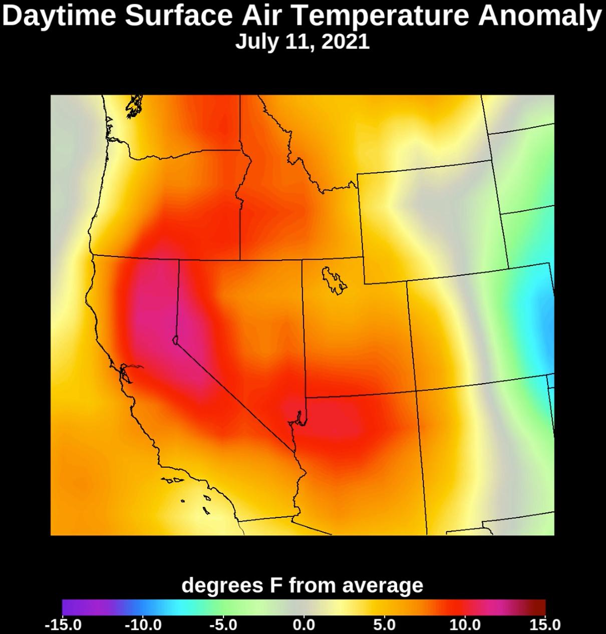
2021-07-15 | Earth |
Aqua |
AIRS |
1210x1266x3 |
|
|||||
|
|
2022-01-04 | Earth |
Aqua |
AIRS |
1664x1740x3 |
|
|||||
|
|
2023-01-10 | Earth |
Aqua |
AIRS |
1195x611x3 |
|
|||||
|
|
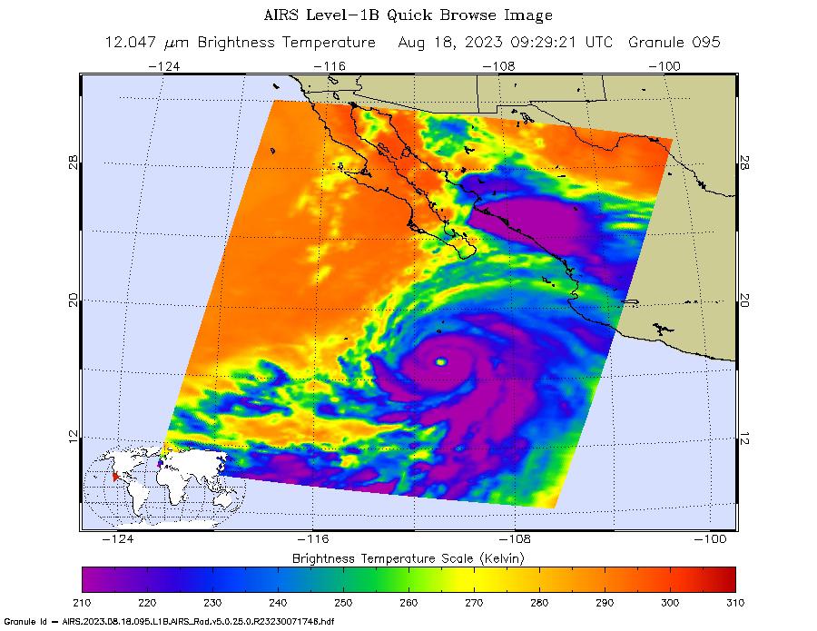
2023-08-18 | Earth |
Aqua |
AIRS |
900x695x3 |
|
|||||
|
|
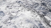
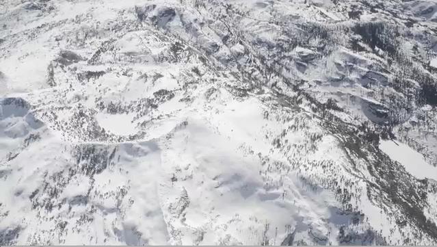
2013-12-09 | Earth |
Airborne Snow Observatory |
639x361x3 | |
|
|||||
|
|
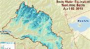
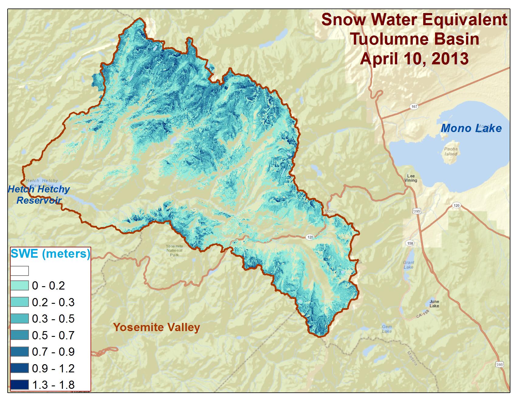
2013-12-09 | Earth |
Airborne Snow Observatory |
1705x1318x3 | |
|
|||||
|
|
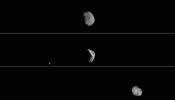
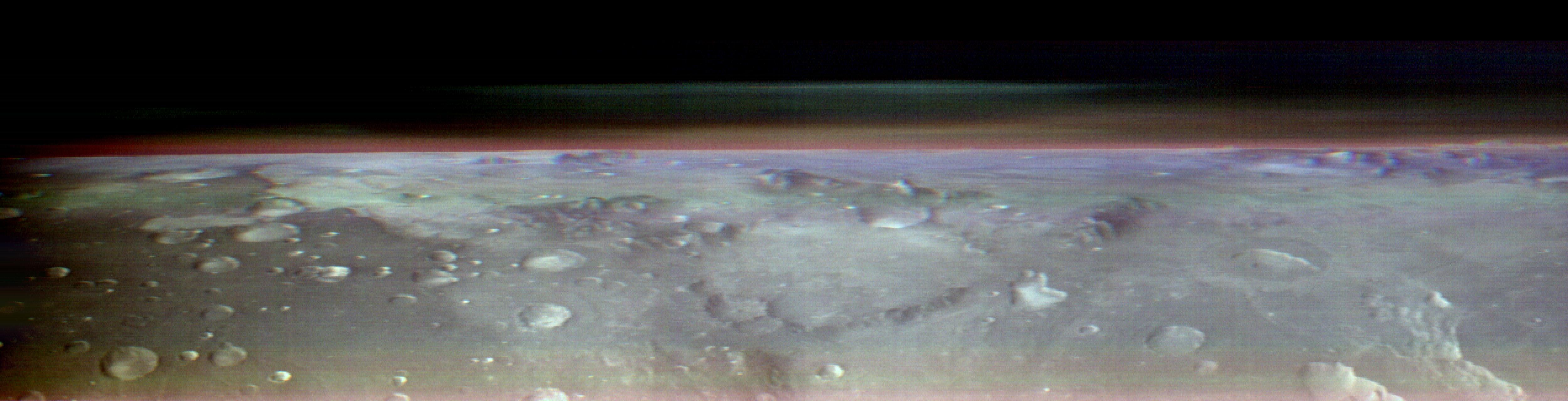
2017-10-04 | Phobos |
2001 Mars Odyssey |
THEMIS |
1024x192x1 |

|
|||||
|
|
2019-05-09 | Phobos |
2001 Mars Odyssey |
THEMIS |
1024x192x3 |

|
|||||
|
|
2019-05-09 | Phobos |
2001 Mars Odyssey |
THEMIS |
1024x585x3 |
|
|||||
|
|
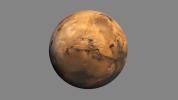
2023-11-28 | Mars |
2001 Mars Odyssey |
THEMIS |
5000x1280x3 |
|
|||||
|
|
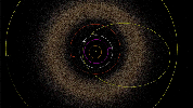
2004-03-15 | Sedna |
Samuel Oschin Telescope |
640x480x5 | |
|
|
||||
|
|
2007-12-13 | Europa | 637x361x3 | ||
|
|||||
|
|
2011-08-18 | Earth | 455x256x3 | ||
|
|||||
|
|
2012-02-06 | Earth | 1023x574x3 | ||
|
|||||
|
|
2012-02-06 | Earth | 1023x578x3 | ||
|
|||||
|
|
2013-05-24 | 899x709x3 | |||
|
|||||
|
|
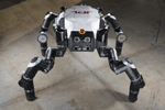
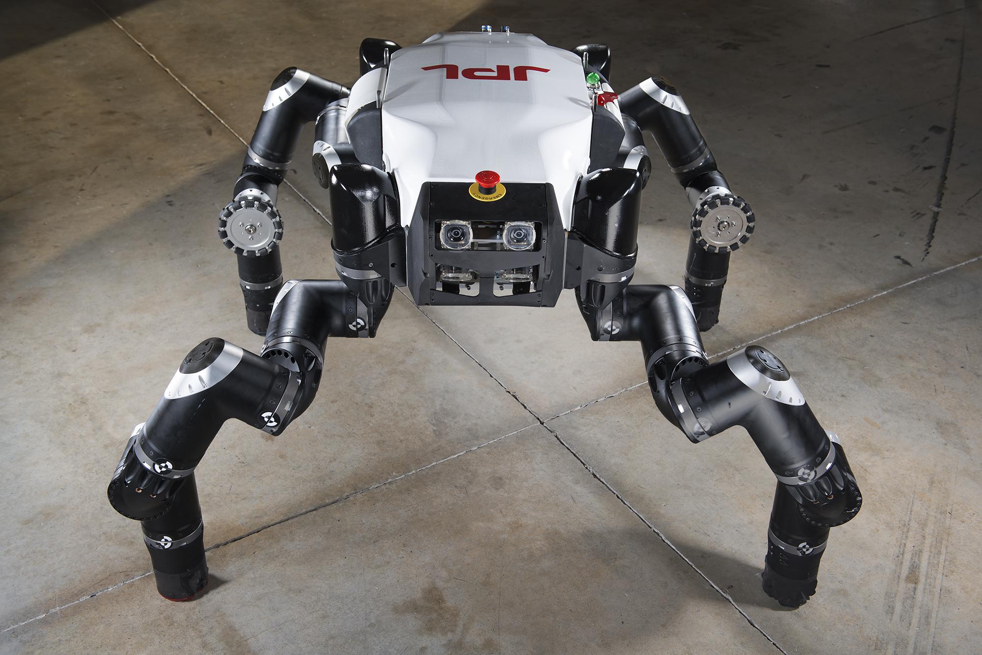
2014-01-14 |
RoboSimian |
2000x1335x3 | ||
|
|||||
|
|
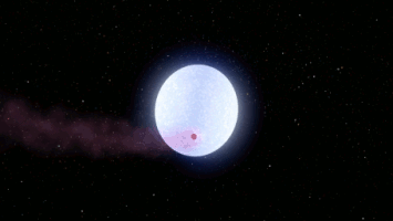
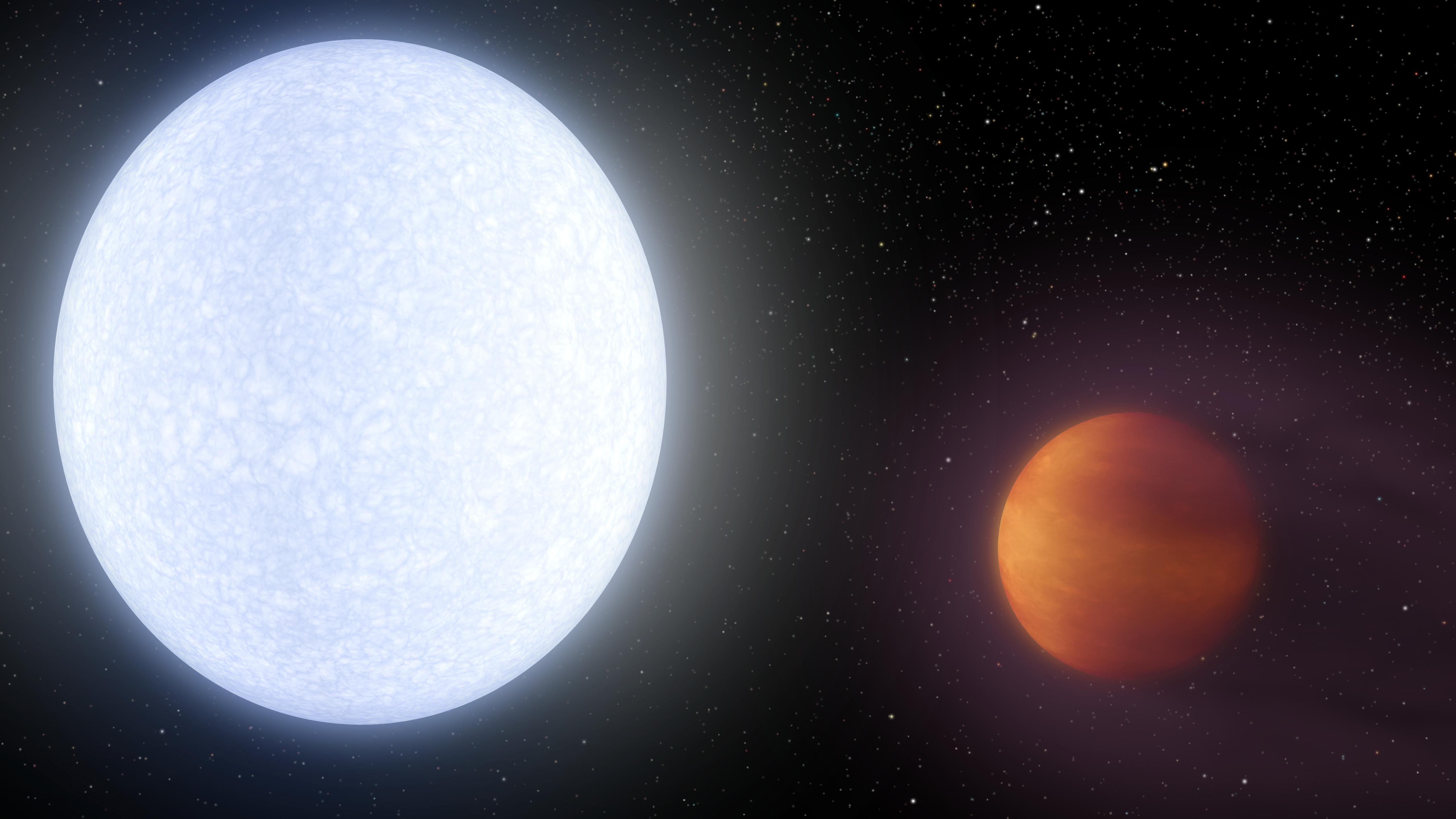
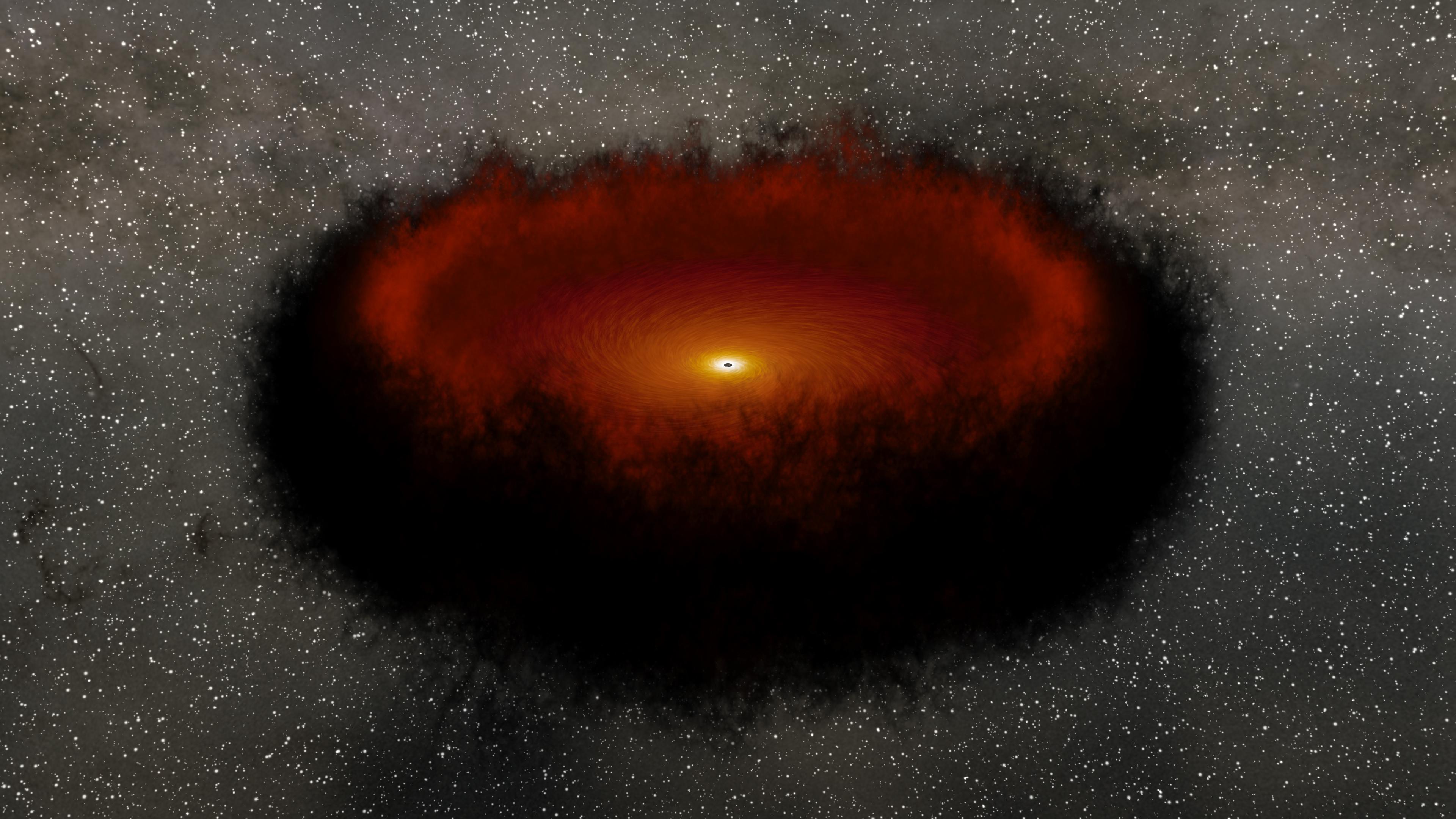
2017-06-05 | KELT-9b | 5120x2880x3 | ||
|
|||||
|
|
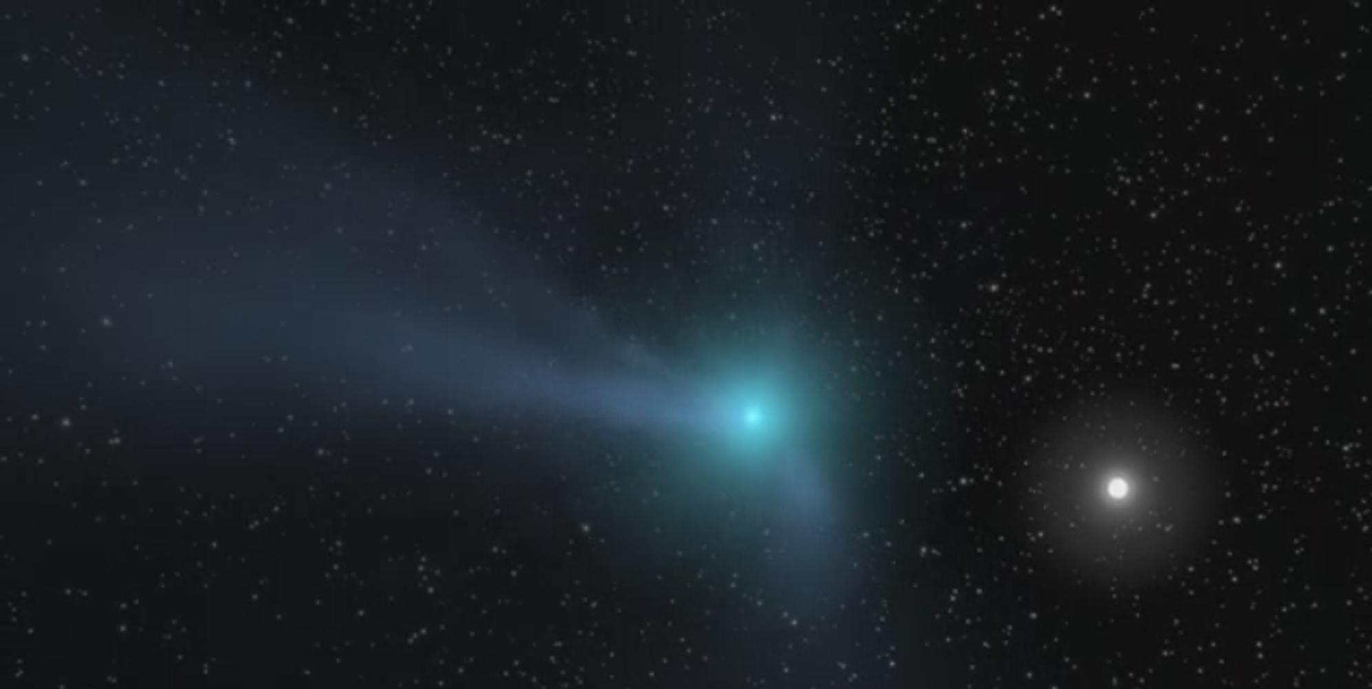
2017-07-25 | Comet | 1992x1000x3 | ||

|
|||||
|
|
2018-07-12 | Asteroid | 1400x787x3 | ||

|
|||||
|
|
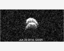
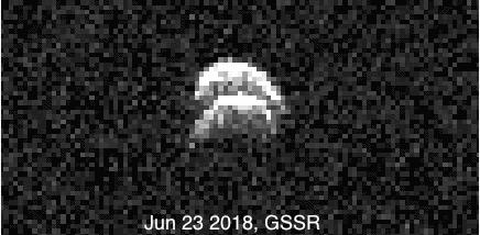
2018-07-12 | Asteroid |
Goldstone Solar System Radar |
436x214x1 | |
|
|||||
|
|
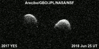
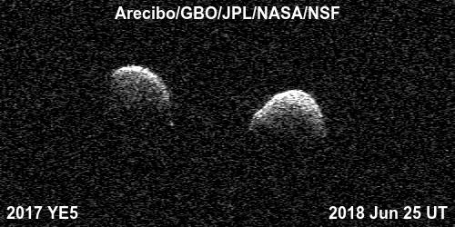
2018-07-12 | Asteroid |
Arecibo Observatory |
500x250x1 | |
|
|||||
|
|
2018-07-12 | Asteroid | 1041x586x3 | ||
|
|||||
|
|
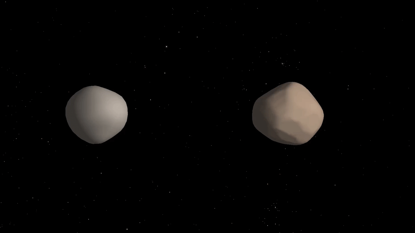
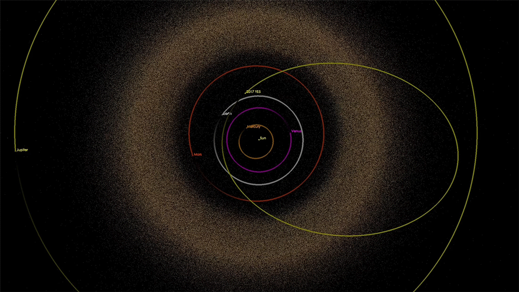
2019-04-29 | Asteroid | 1220x700x3 | ||
|
|||||
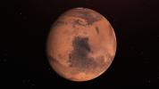
|
|
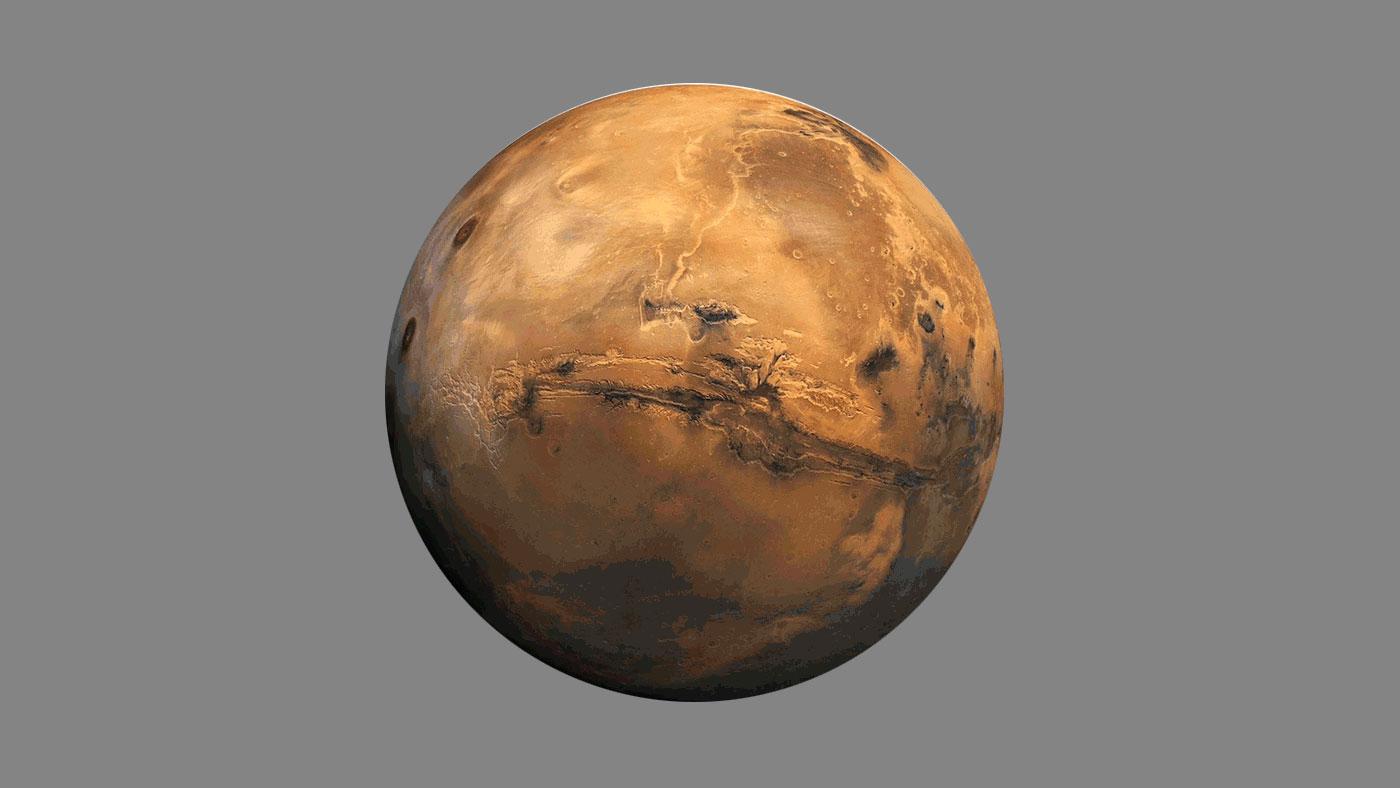
2019-07-22 | Mars | 1400x788x3 | ||
|
|||||
|
|
2019-12-05 | Asteroid | 2532x1417x3 | ||
|
|||||
|
|
2019-12-10 | Mars | 960x540x3 | ||
|
|||||
|
|
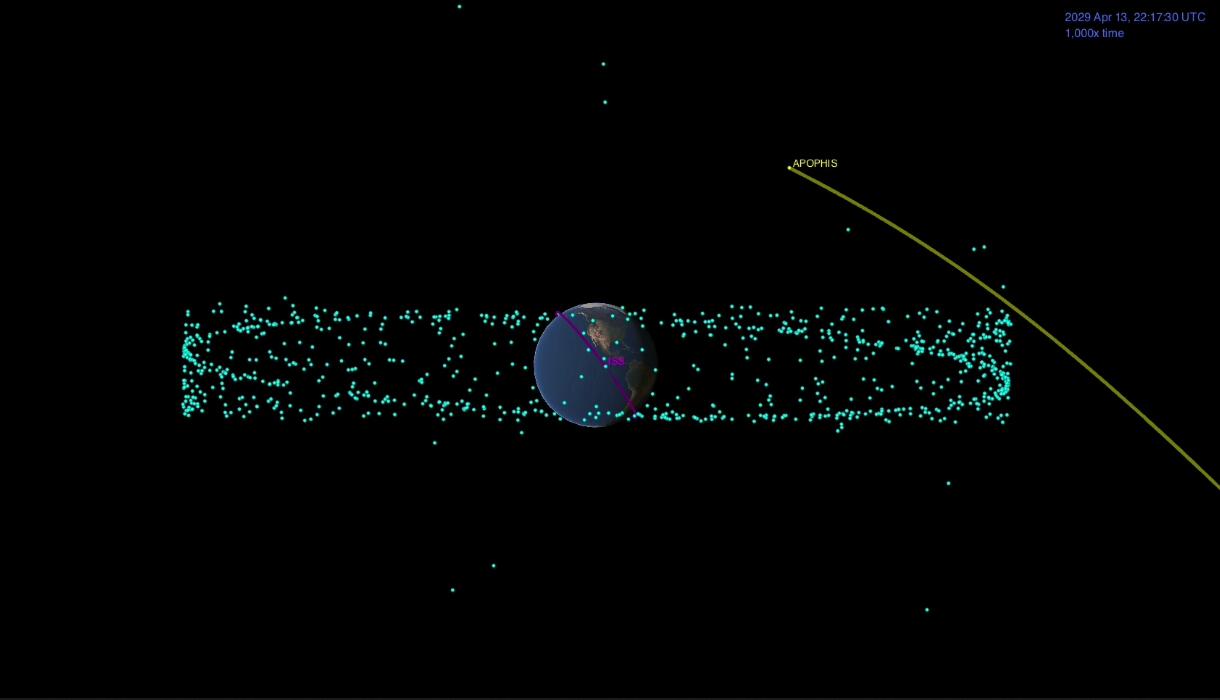
2020-08-18 | Asteroid | 1841x1033x3 | ||
|
|||||
|
|
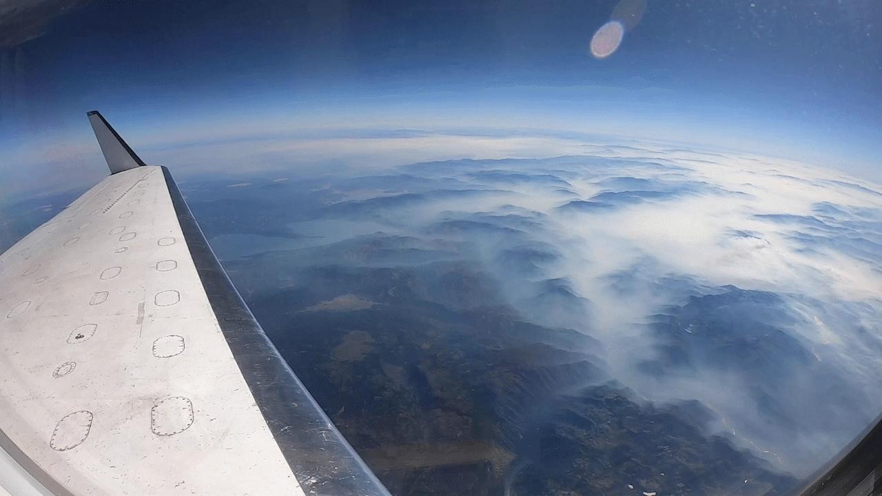
2020-09-15 | Earth |
UAVSAR |
1280x720x3 | |

|
|||||
|
|
2020-10-01 | 3840x2160x3 | |||
|
|||||
|
|
2021-04-07 | 3814x1856x3 | |||
|
|||||
|
|
2022-03-15 | Asteroid | 1440x830x3 | ||
|
|||||
|
|
2022-12-12 | 1249x719x3 | |||
|
|||||

|
 |
|
|
|
|
|
|
|
|
|
|
| 1-100 | 101-200 | 201-300 | 301-400 | 401-500 | 501-600 | 601-700 | 701-800 | 801-900 | 901-1000 |
| Currently displaying images: 1101 - 1156 of 1156 |