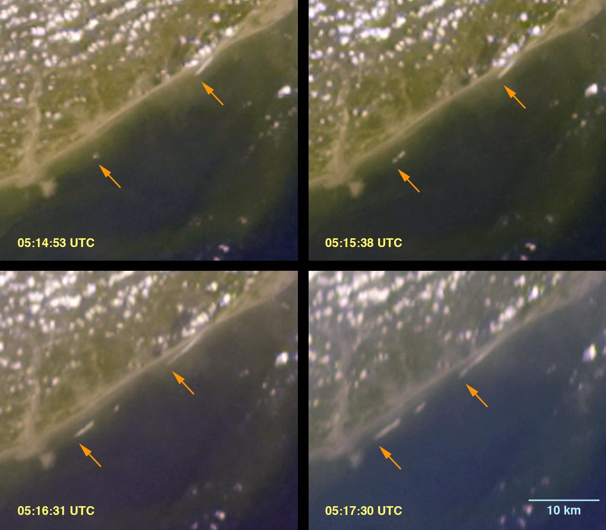
|
Your search criteria found 1156 images Collection Type |
| My List |
Addition Date | Target |
Mission
|
Instrument | Size |

|
2005-12-22 | Earth |
Stardust |
600x444x3 | |
|
|||||
|
|
2005-12-22 | Earth |
Stardust |
717x417x3 | |
|
|||||
|
|
2005-12-22 | Earth |
Stardust |
715x481x3 | |
|
|||||
|
|
2011-02-17 | Tempel 1 |
StardustNExT |
Stardust Navigation Camera |
1276x716x1 |

|
|||||
|
|
2023-08-08 | Earth |
Suomi NPP |
VIIRS |
1200x675x3 |

|
|||||
|
|
2017-07-14 | Earth |
Suomi NPP Terra |
MODIS VIIRS |
1805x1350x1 |
|
|||||
|
|
2022-11-14 | Earth |
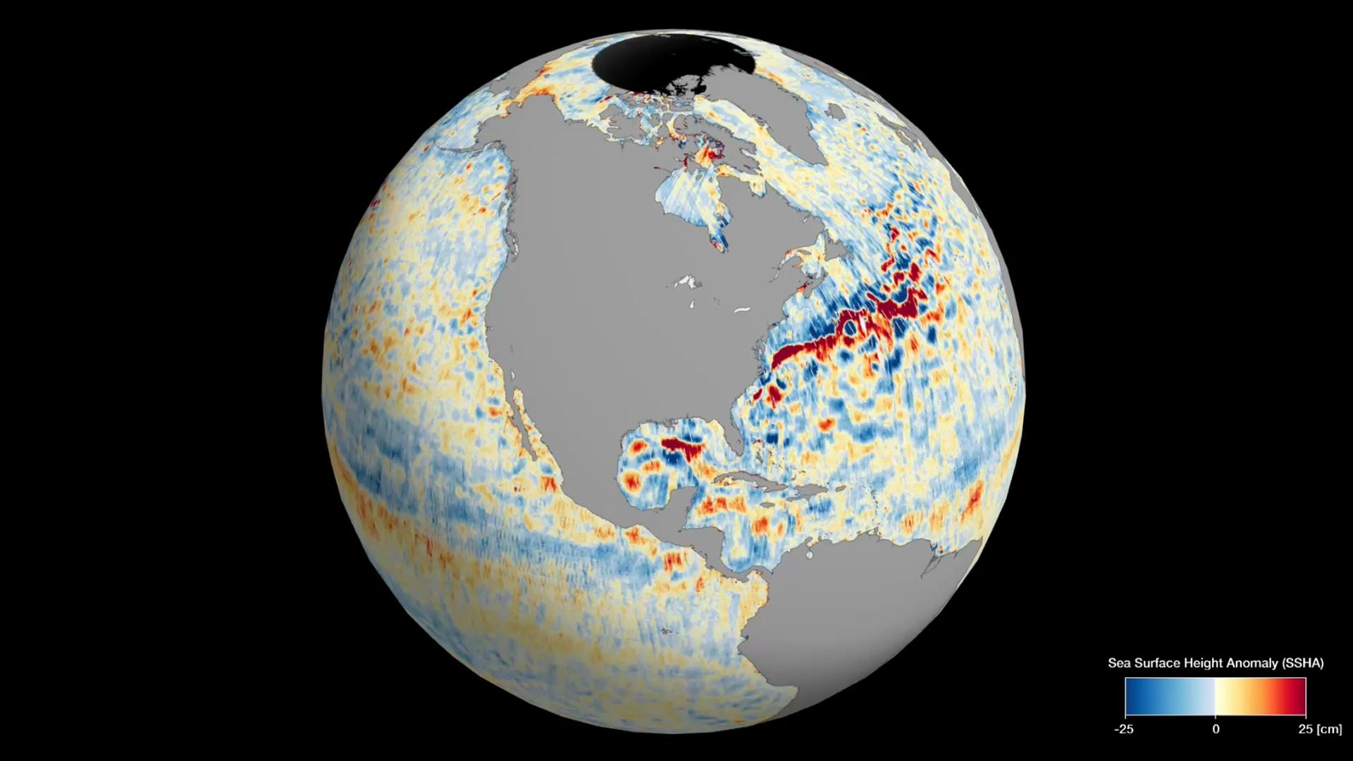
Surface Water and Ocean Topography (SWOT) |
1920x1080x3 | |
|
|||||
|
|
2022-12-21 |
Surface Water and Ocean Topography (SWOT) |
1674x670x3 | ||
|
|||||
|
|
2023-01-03 |
Surface Water and Ocean Topography (SWOT) |
Ka-band Radar Interferometer (KaRIn) |
960x540x3 | |
|
|||||
|
|
2023-10-30 | Earth |
SWOT |
KaRIn |
1920x1080x3 |

|
|||||
|
|
2024-04-15 | Earth |
SWOT |
KaRIn |
1440x1090x3 |
|
|||||
|
|
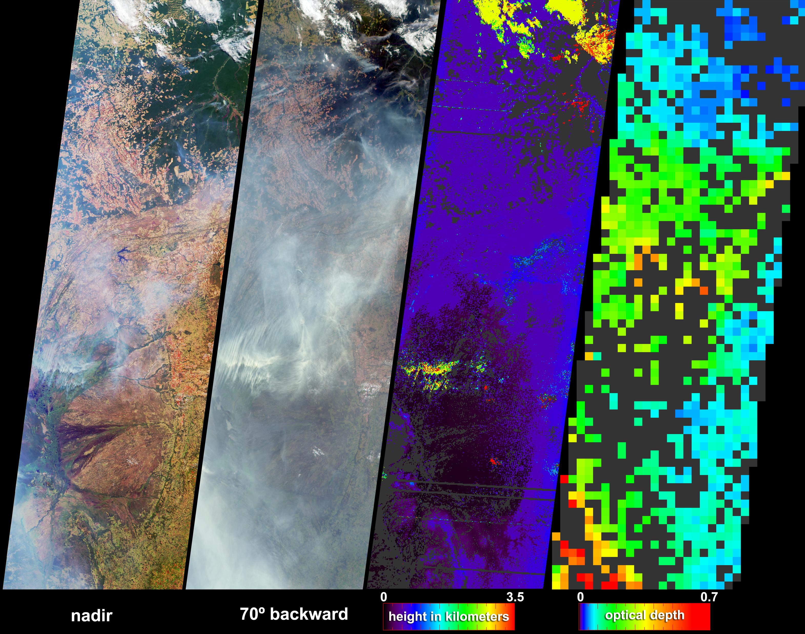
2004-07-07 | Earth |
Terra |
MISR |
3141x2477x3 |
|
|||||
|
|
2005-01-12 | Earth |
Terra |
MISR |
1245x1090x3 |
|
|||||
|
|
2005-08-31 | Earth |
Terra |
MISR |
3008x3164x3 |
|
|||||
|
|
2001-10-22 | Earth |
Terra |
ASTER |
1200x1354x3 |
|
|||||
|
|
2001-10-22 | Earth |
Terra |
ASTER |
340x256x3 |

|
|||||
|
|
2009-06-29 | Earth |
Terra |
ASTER |
1281x718x3 |

|
|||||
|
|
2009-06-29 | Earth |
Terra |
ASTER |
1280x720x3 |
|
|||||
|
|
2011-06-09 | Earth |
Terra |
MISR |
1205x1545x3 |
|
|||||
|
|
2011-10-17 | Earth |
Terra |
ASTER |
1280x720x3 |
|
|||||
|
|
2012-02-06 | Earth |
Terra |
ASTER |
1023x575x3 |
|
|||||
|
|
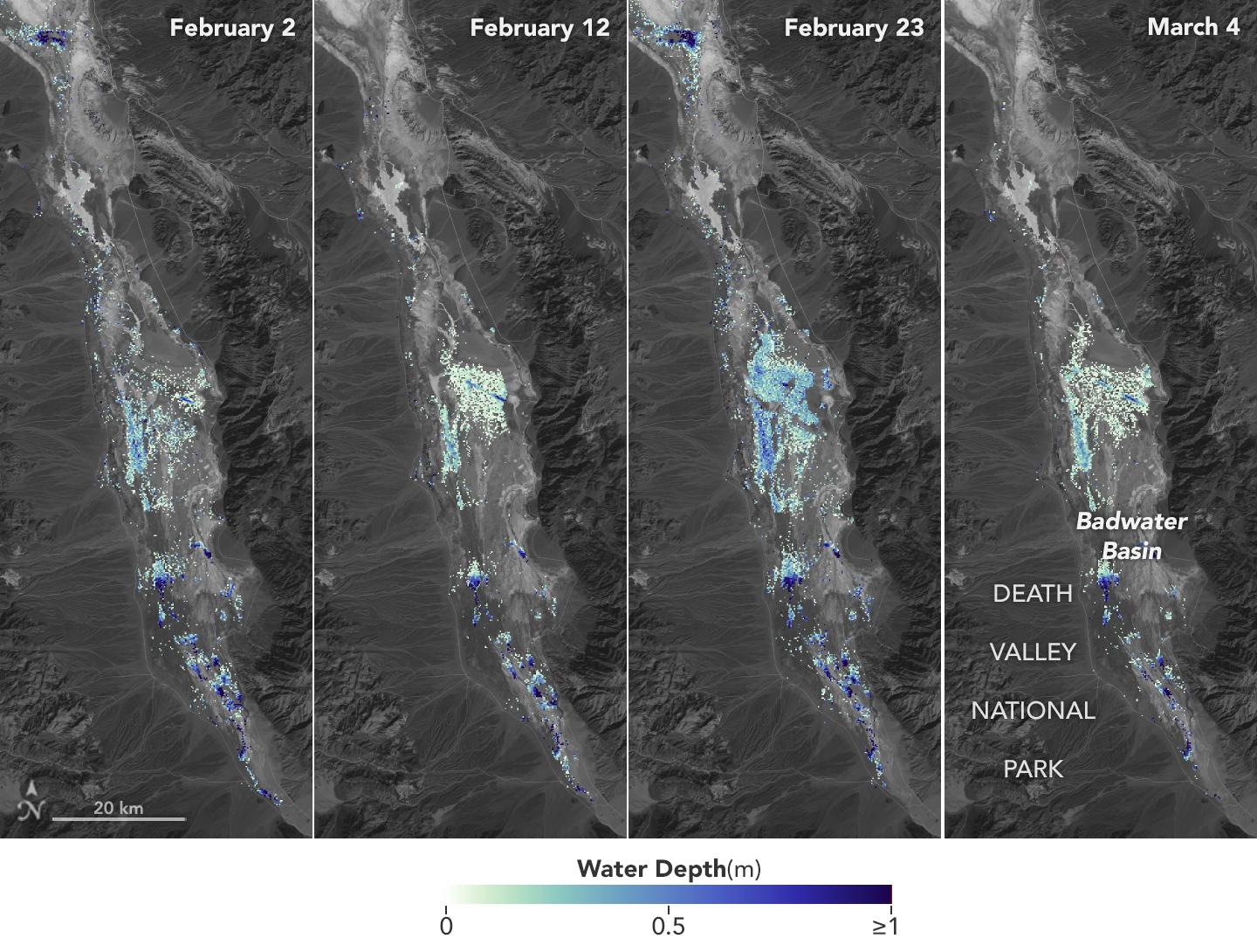
2012-10-01 | Earth |
Terra |
ASTER InSAR |
1024x575x3 |
|
|||||
|
|
2014-03-05 | Earth |
Terra |
MODIS |
436x348x3 |
|
|||||
|
|
2016-10-04 | Earth |
Terra |
MISR |
493x1040x1 |
|
|
|||||
|
|
2017-04-11 | Earth |
Terra |
MISR |
2240x3584x3 |
|
|||||
|
|
2017-06-02 | Earth |
Terra |
MISR |
447x447x3 |
|
|||||
|
|
2017-09-08 | Earth |
Terra |
MISR |
4715x4843x3 |
|
|||||
|
|
2017-09-19 | Earth |
Terra |
MISR |
2304x3584x3 |

|
|||||
|
|
2019-03-21 | Earth |
Terra |
MISR |
1830x1830x3 |
|
|||||
|
|
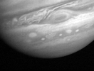
2000-04-06 | Jupiter |
Voyager |
VG ISS - Narrow Angle |
260x260x1 |
|
|
||||
|
|
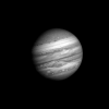
2000-04-06 | Jupiter |
Voyager |
VG ISS - Narrow Angle |
213x160x1 |
|
|
||||
|
|
2000-04-06 | Jupiter |
Voyager |
VG ISS - Narrow Angle |
318x240x1 |
|
|
||||
|
|
2000-04-06 | Phoebe |
Voyager |
VG ISS - Narrow Angle |
200x400x1 |
|
|
||||
|
|
2000-12-19 | Jupiter |
Voyager |
VG ISS - Narrow Angle |
213x160x1 |
|
|
||||
|
|
2000-12-19 | Io |
Voyager |
VG ISS - Narrow Angle |
260x260x1 |

|
|
||||
|
|
2000-12-19 | Io |
Voyager |
VG ISS - Narrow Angle |
260x260x1 |
|
|
||||
|
|
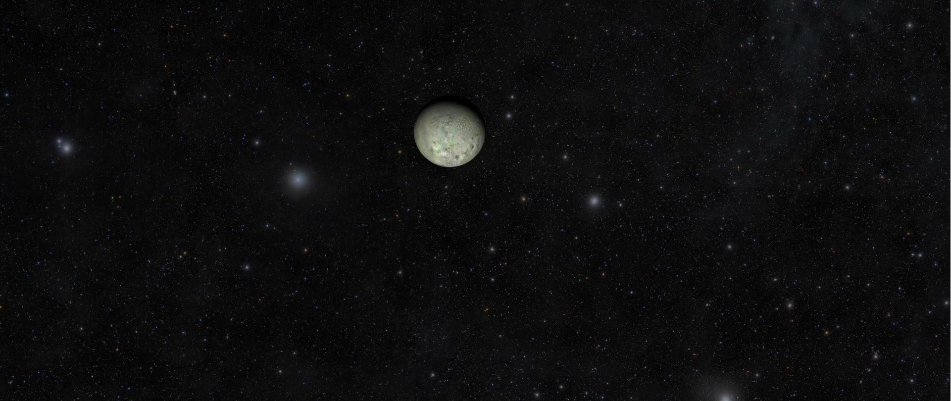
2009-08-25 | Triton |
Voyager |
VG ISS - Narrow Angle |
477x300x1 |

|
|||||
|
|
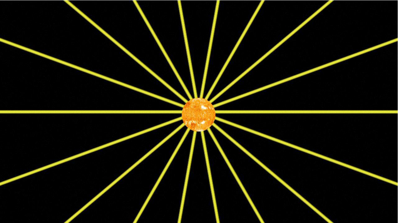
2011-12-16 | Sol (our sun) |
Voyager |
1281x718x3 | |
|
|||||
|
|
2012-12-03 | Sol (our sun) |
Voyager |
1772x975x3 | |
|
|||||
|
|
2012-12-03 | Sol (our sun) |
Voyager |
1280x720x3 | |

|
|||||
|
|
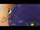
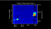
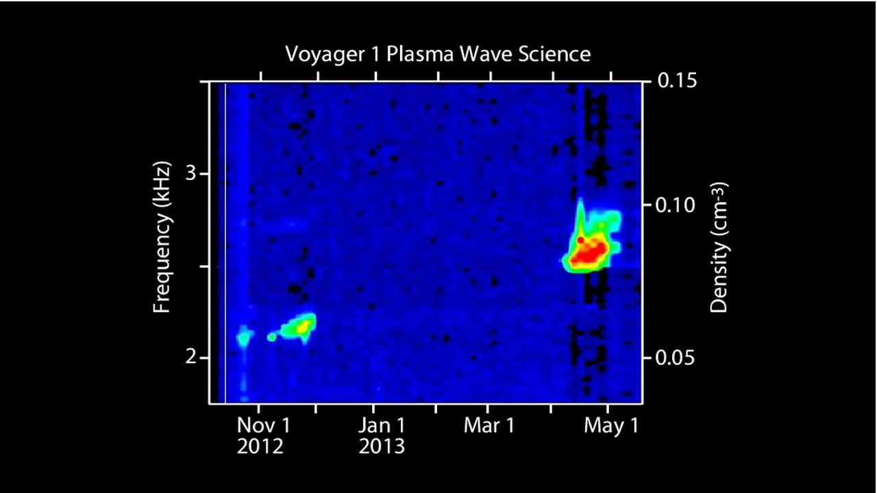
2013-09-12 | Sol (our sun) |
Voyager |
Plasma Wave Instrument |
1280x720x3 |
|
|||||
|
|
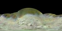
2014-08-21 | Triton |
Voyager |
VG ISS - Narrow Angle |
14138x7069x3 |
|
|||||
|
|
2014-08-21 | Triton |
Voyager |
VG ISS - Narrow Angle |
1921x810x3 |
|
|||||
|
|
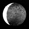
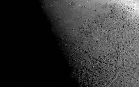
2020-03-25 | Uranus |
Voyager |
1040x585x3 | |
|
|||||
|
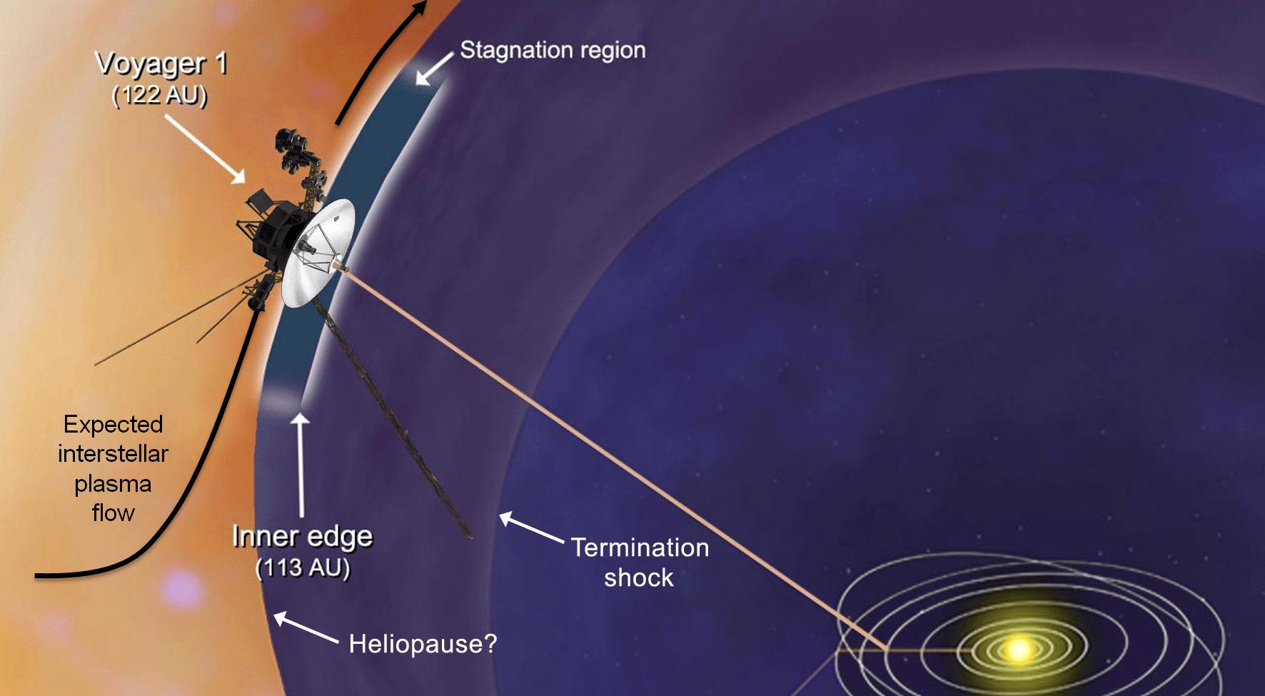
|
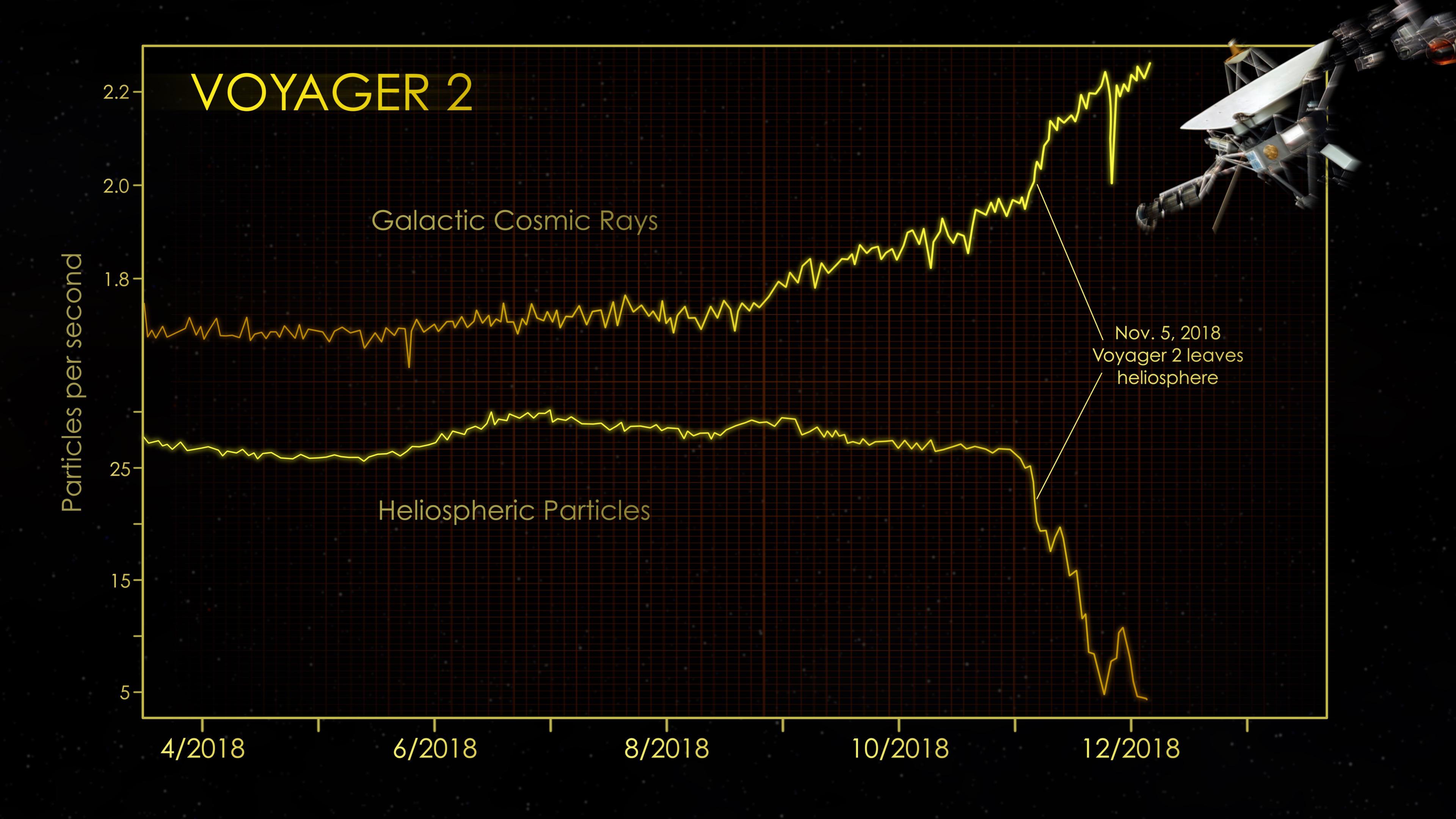
2018-12-10 |
Voyager Interstellar Mission |
3840x2160x3 | ||
|
|||||
|
|
2005-07-13 | Cygnus |
W. M. Keck Observatory |
Keck I Telescope |
640x480x3 |
|
|||||
|
|
2005-07-13 | Cygnus |
W. M. Keck Observatory |
Keck I Telescope |
3000x2400x3 |
|
|||||
|
|
2010-02-17 | C/2007 Q3 (Siding Spring) |
Wide-field Infrared Survey Explorer (WISE) |
WISE Telescope |
1281x717x3 |
|
|||||
|
|
2010-05-25 | Asteroid |
Wide-field Infrared Survey Explorer (WISE) |
WISE Telescope |
640x359x3 |

|
|||||
|
|
2010-07-16 |
Wide-field Infrared Survey Explorer (WISE) |
WISE Telescope |
1191x717x3 | |
|
|||||
|
|
2010-10-04 | Asteroid |
Wide-field Infrared Survey Explorer (WISE) |
WISE Telescope |
568x561x3 |
|
|||||
|
|
2011-07-27 |
Wide-field Infrared Survey Explorer (WISE) |
WISE Telescope |
3000x2400x3 | |
|
|||||
|
|
2011-09-29 | Vesta |
Wide-field Infrared Survey Explorer (WISE) |
WISE Telescope |
1281x720x3 |
|
|||||
|
|
2011-09-29 | Vesta |
Wide-field Infrared Survey Explorer (WISE) |
WISE Telescope |
1279x716x1 |
|
|||||
|
|
2012-06-08 |
Wide-field Infrared Survey Explorer (WISE) |
WISE Telescope |
4000x2400x3 | |

|
|||||
|
|
2022-11-11 | Eagle Nebula |
Wide-field Infrared Survey Explorer (WISE) |
3400x3400x3 | |
|
|||||

|
 |
|
|
|
|
|
|
|
|
|
|
| 1-100 | 101-200 | 201-300 | 301-400 | 401-500 | 501-600 | 601-700 | 701-800 | 801-900 | 901-1000 |
| Currently displaying images: 1101 - 1156 of 1156 |