Click here for animation
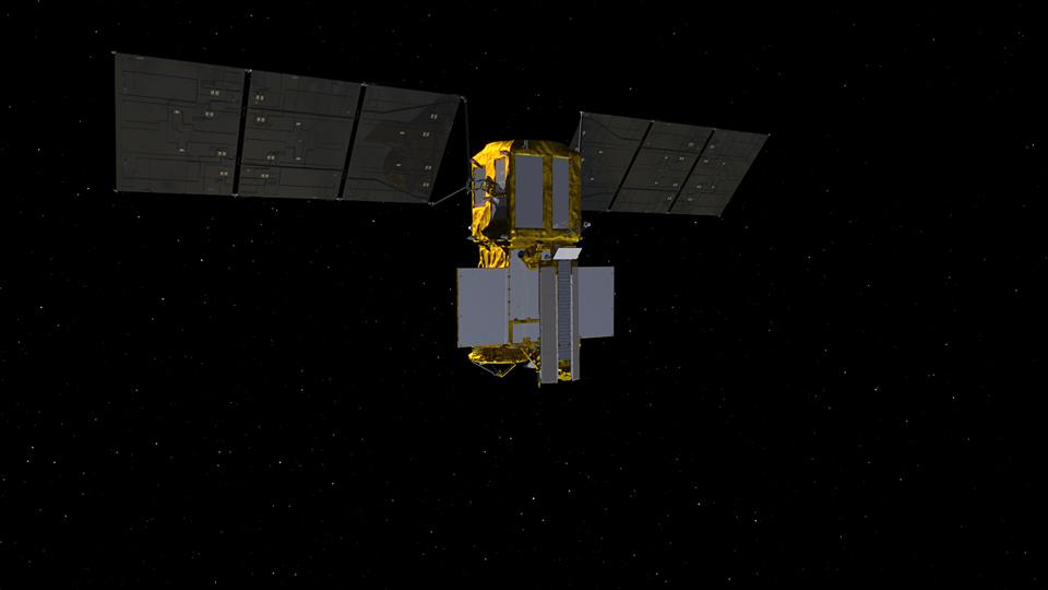
This video animation shows antennas for the Ka-band Radar Interferometer (KaRIn) instrument deploying on the Surface Water and Ocean Topography (SWOT) satellite. KaRIn is the scientific heart of the spacecraft, which launched into Earth orbit on Friday, Dec. 16, 2022, from Vandenberg Space Force Base in central California. SWOT will measure the height of water on over 90% of Earth's surface, providing a high-definition survey of our planet's water for the first time.
But before it can do that, engineers need to deploy the satellite's solar panel arrays, which power the spacecraft, and unfold the large mast and antenna panels for the KaRIn instrument. The mast and antenna deployment is a four-day process.
Thirty-three feet (10 meters) apart, at either end of the mast, the two antennas are designed to capture precise measurements of the height of water in Earth's freshwater bodies and the ocean. KaRIn will see eddies, currents, and other ocean features less than 13 miles (20 kilometers) across, and it will collect data on lakes and reservoirs larger than 15 acres (62,500 square meters) and rivers wider than 330 feet (100 meters) across.
KaRIn will do this by bouncing radar pulses off the surface of the water and receiving the return signals with both of those antennas, collecting data along a swath on the surface that's 30 miles (50 kilometers) wide on either side of the satellite.
The data SWOT provides will help researchers and decision-makers address some of the most pressing climate questions of our time and help communities prepare for a warming world.
SWOT was jointly developed by NASA and the French space agency Centre National d'Études Spatiales (CNES), with contributions from the Canadian Space Agency (CSA) and the UK Space Agency. NASA's Jet Propulsion Laboratory, which is managed for the agency by Caltech in Pasadena, California, leads the U.S. component of the project. For the flight system payload, NASA is providing the Ka-band Radar Interferometer (KaRIn) instrument, a GPS science receiver, a laser retroreflector, a two-beam microwave radiometer, and NASA instrument operations. CNES is providing the Doppler Orbitography and Radioposition Integrated by Satellite (DORIS) system, the dual frequency Poseidon altimeter (developed by Thales Alenia Space), the KaRIn radio-frequency subsystem (together with Thales Alenia Space and with support from the UK Space Agency), the satellite platform, and ground operations. CSA is providing the KaRIn high-power transmitter assembly. NASA provided the launch vehicle and the agency's Launch Services Program, based at Kennedy Space Center, managed the associated launch services.
For more information, see: https://swot.jpl.nasa.gov/
 Planetary Data System


