My
List |
Addition Date
|
Target
|
Mission
|
Instrument
|
Size
|

|
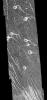
2002-02-27 |
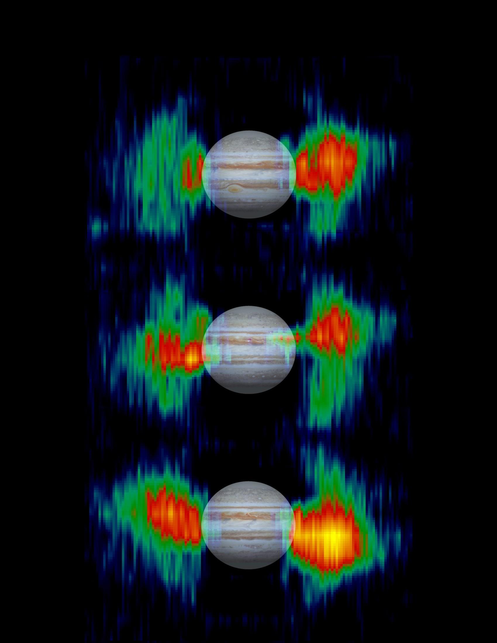
Jupiter
|
Cassini-Huygens
|
Imaging Radar
|
1700x2200x3 |
|
-
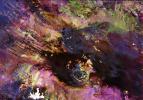
PIA03478:
-
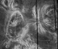
Inner Radiation Belts of Jupiter
Full Resolution:
TIFF
(4.613 MB)
JPEG
(189.5 kB)
|
|
|
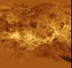
2001-08-27 |
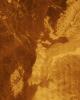
Venus
|
Magellan
|
Arecibo Radar Data
Radar System
|
15464x9249x3 |
|
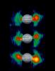
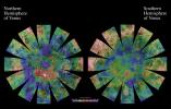
-
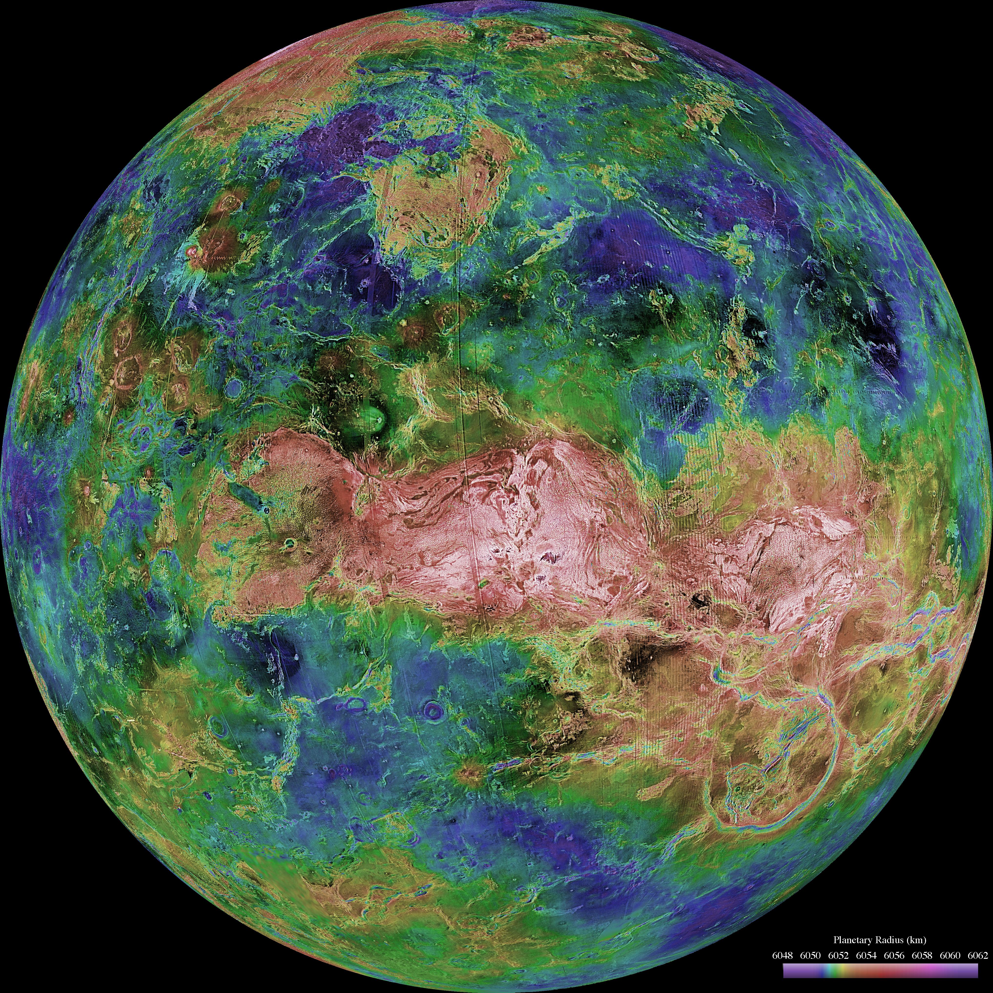
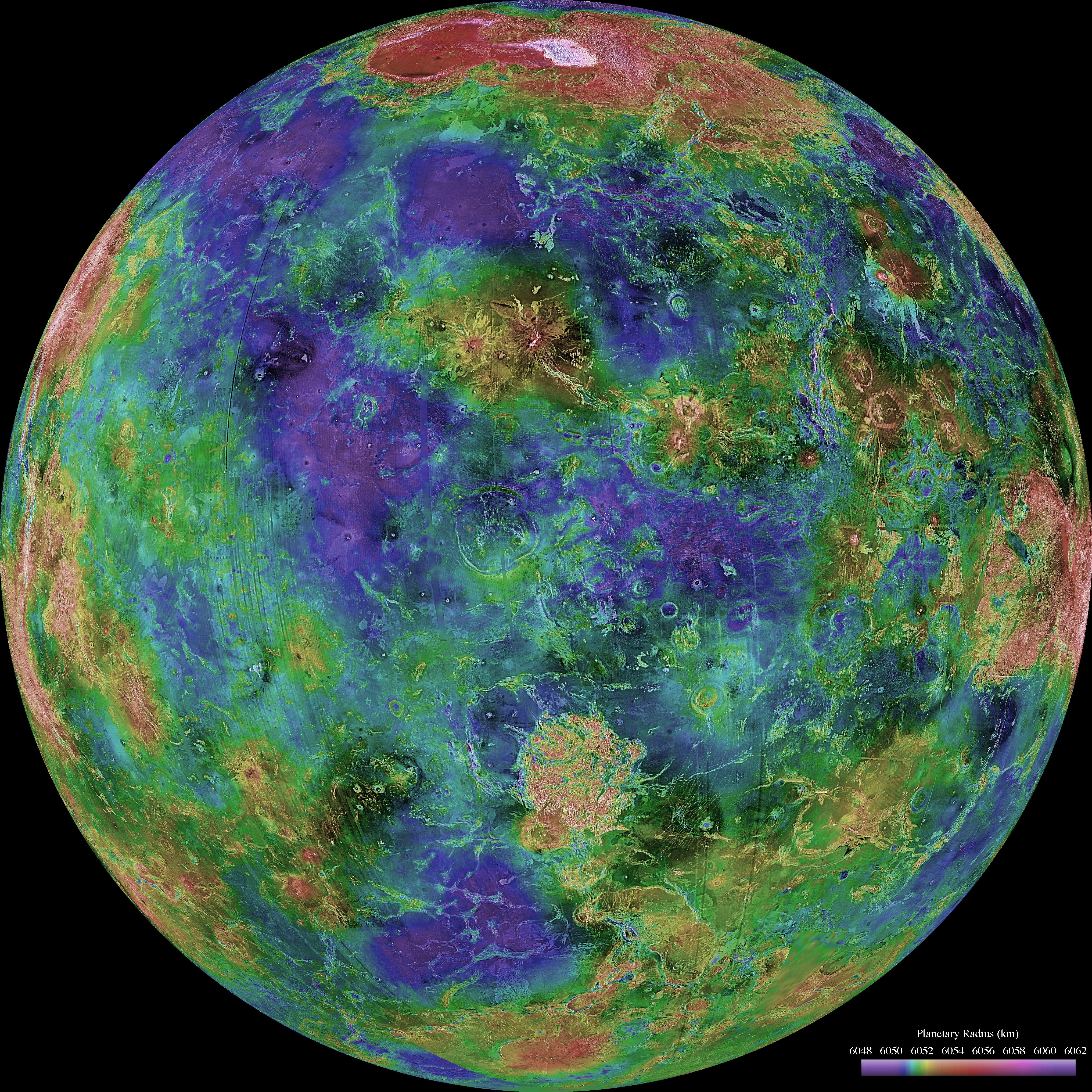
PIA03167:
-
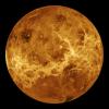
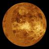
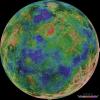
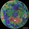
Venus Hemispherical Globes (with place names)
Full Resolution:
TIFF
(229.5 MB)
JPEG
(26.36 MB)
|
|
|
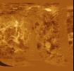
2001-03-15 |
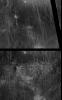
Venus
|
Magellan
|
Arecibo Radar Data
Radar System
|
13966x8887x3 |
|
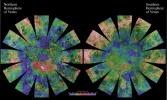
-
PIA03151:
-
Venus Hemispherical Globes
Full Resolution:
TIFF
(196.7 MB)
JPEG
(17.89 MB)
|
|
|
2000-09-20 |
Earth
|
RadarSat
|
Imaging Radar
|
1406x472x1 |
|
-
PIA02971:
-
Comparative Views of Arctic Sea Ice Growth
Full Resolution:
TIFF
(664.6 kB)
JPEG
(167.4 kB)
|
|
|
2000-09-20 |
Earth
|
RadarSat
|
Imaging Radar
|
720x520x3 |

|
-
PIA02970:
-
Global View of the Arctic Ocean
Full Resolution:
TIFF
(624.4 kB)
JPEG
(35.77 kB)
|
|
|
1999-06-23 |
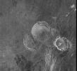
Mars
|
Mars Global Surveyor (MGS)
|
Imaging Radar
|
2871x2520x3 |
|
-
PIA02054:
-
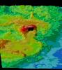
Mars Gravity Map (RS)
Full Resolution:
TIFF
(4.572 MB)
JPEG
(618.1 kB)
|
|
|
1999-04-15 |
Earth
|
Spaceborne Imaging Radar-C/X-Band Synthetic Aperture Radar
|
Imaging Radar
|
2010x1800x1 |
|
-
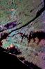
PIA01303:
-
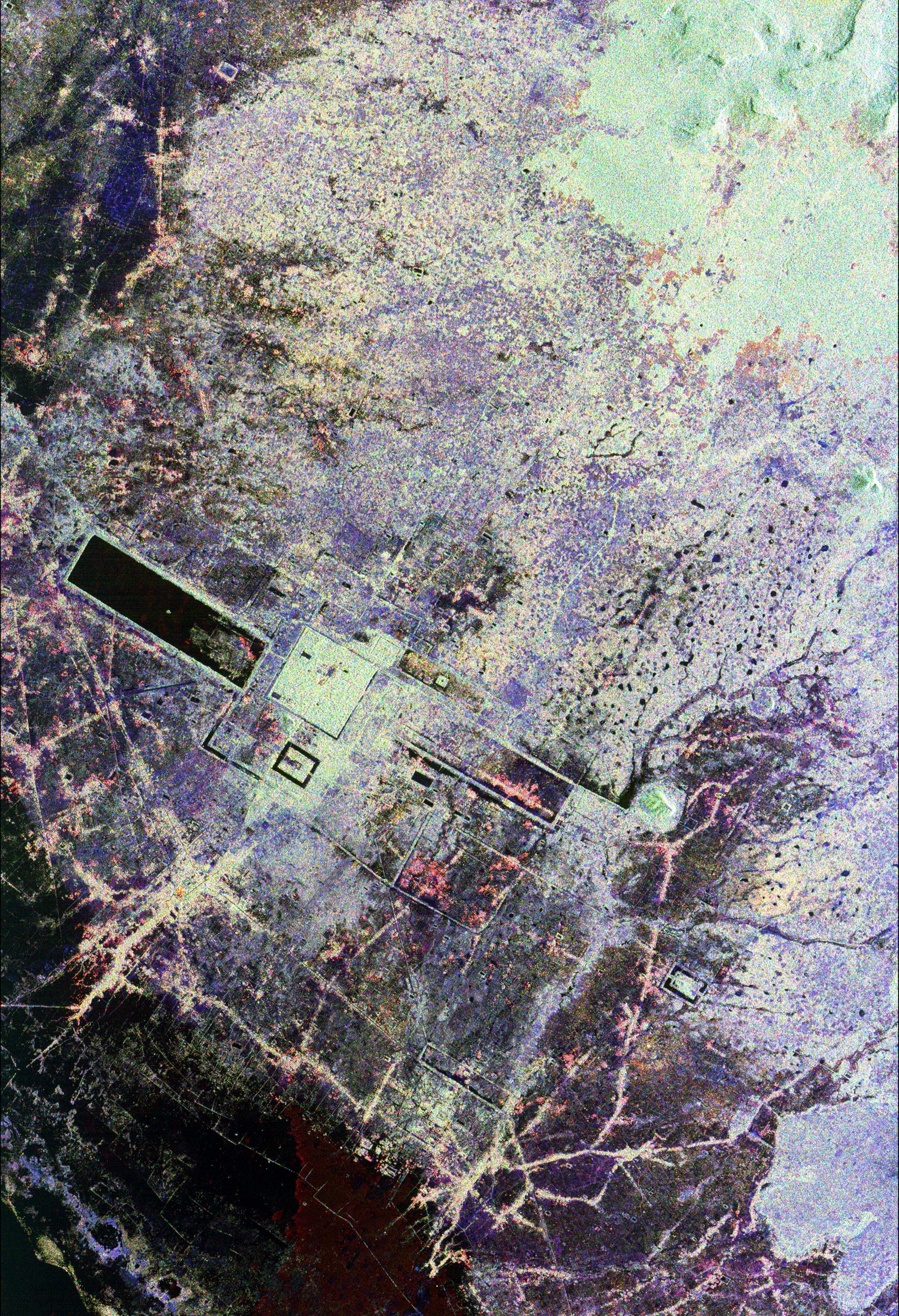
Space Radar Image of Washington, D.C.
Full Resolution:
TIFF
(4.622 MB)
JPEG
(1.396 MB)
|
|
|
1998-06-04 |
Venus
|
Magellan
|
Imaging Radar
|
700x1400x3 |
|
-
PIA00316:
-
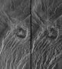
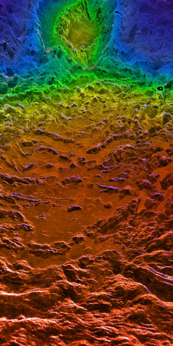
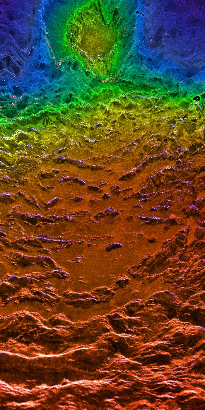
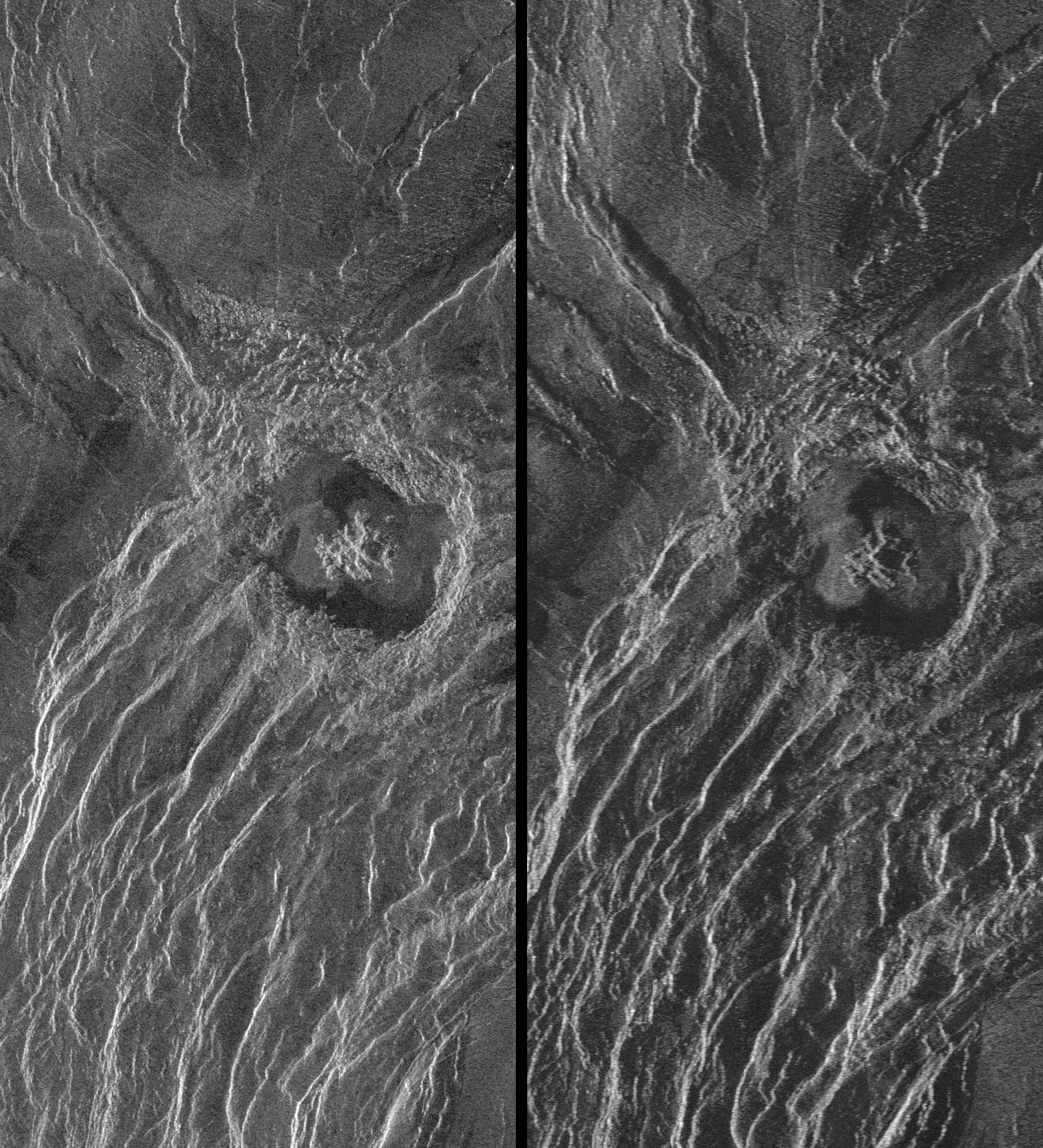
Looking Westward Across the Fortuna Tessera (Right Member of a Synthetic Stereo Pair)
Full Resolution:
TIFF
(2.614 MB)
JPEG
(283.7 kB)
|
|
|
1998-06-04 |
Venus
|
Magellan
|
Imaging Radar
|
700x1400x3 |
|
-
PIA00315:
-
Looking Westward Across the Fortuna Tessera (Left Member of a Synthetic Stereo Pair)
Full Resolution:
TIFF
(2.643 MB)
JPEG
(283.3 kB)
|
|
|
1998-06-04 |
Venus
|
Magellan
|
Imaging Radar
|
700x1400x3 |
|
-
PIA00314:
-
Sedna Planitia (Right Member of a Synthetic Stereo Pair)
Full Resolution:
TIFF
(2.571 MB)
JPEG
(265.6 kB)
|
|
|
1998-06-04 |
Venus
|
Magellan
|
Imaging Radar
|
700x1400x3 |

|
-
PIA00313:
-
Sedna Planitia (Left Member of a Synthetic Stereo Pair)
Full Resolution:
TIFF
(2.568 MB)
JPEG
(270.1 kB)
|
|
|
1998-06-04 |
Venus
|
Magellan
|
Imaging Radar
|
1500x1500x3 |
|
-
PIA00312:
-
Magellan's View of Crater Markham, 0° N, 163° E
Full Resolution:
TIFF
(3.378 MB)
JPEG
(348.9 kB)
|
|
|
1998-06-04 |
Venus
|
Magellan
|
Imaging Radar
|
2100x900x3 |
|
-
PIA00311:
-
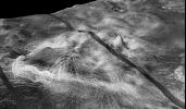
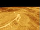
Magellan's Perspective View of Ovda Regio, 0° S, 129° E
Full Resolution:
TIFF
(2.63 MB)
JPEG
(343.7 kB)
|
|
|
1998-06-04 |
Venus
|
Magellan
|
Imaging Radar
|
2100x1500x3 |
|
-
PIA00310:
-
Magellan's Perspective View of Ovda Regio, 0° N, 129° E
Full Resolution:
TIFF
(4.734 MB)
JPEG
(606.2 kB)
|
|
|
1998-06-04 |
Venus
|
Magellan
|
Imaging Radar
|
1500x1500x3 |
|
-
PIA00309:
-
Magellan's Perspective View of Ovda Regio, 0° N, 77° E
Full Resolution:
TIFF
(5.144 MB)
JPEG
(581.7 kB)
|
|
|
1998-06-04 |
Venus
|
Magellan
|
Imaging Radar
|
1500x1500x3 |
|
-
PIA00308:
-
Magellan's Perspective View of Ovda Regio, 15° N, 77° E
Full Resolution:
TIFF
(3.113 MB)
JPEG
(469.6 kB)
|
|
|
1998-06-04 |
Venus
|
Magellan
|
Imaging Radar
|
2000x1600x3 |
|
-
PIA00307:
-
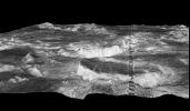
Magellan's Perspective View of Sedna Planitia, 45° N, 11° E
Full Resolution:
TIFF
(4.943 MB)
JPEG
(693.5 kB)
|
|
|
1998-06-04 |
Venus
|
Magellan
|
Imaging Radar
|
2000x940x3 |

|
-
PIA00306:
-
Magellan's Perspective View of Sedna Planitia, 45° N, 350° E
Full Resolution:
TIFF
(2 MB)
JPEG
(294.6 kB)
|
|
|
1998-06-04 |
Venus
|
Magellan
|
Imaging Radar
|
4064x4064x3 |
|
-
PIA00160:
-
Hemispheric View of Venus Centered at 270° East Longitude
Full Resolution:
TIFF
(40.74 MB)
JPEG
(4.371 MB)
|
|
|
1998-06-04 |
Venus
|
Magellan
|
Imaging Radar
|
4064x4064x3 |
|
-
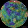
PIA00159:
-
Hemispheric View of Venus Centered at 180° East Longitude
Full Resolution:
TIFF
(41.1 MB)
JPEG
(4.518 MB)
|
|
|
1998-06-04 |
Venus
|
Magellan
|
Imaging Radar
|
4064x4064x3 |
|
-
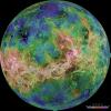
PIA00158:
-
Hemispheric View of Venus Centered at 90 Degrees East Longitude
Full Resolution:
TIFF
(41.14 MB)
JPEG
(4.713 MB)
|
|
|
1998-06-04 |
Venus
|
Magellan
|
Imaging Radar
|
4064x4064x3 |
|
-
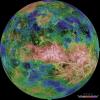
PIA00157:
-
Hemispheric View of Venus Centered at 0 Degrees East Longitude
Full Resolution:
TIFF
(39.63 MB)
JPEG
(4.282 MB)
|
|
|
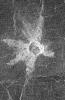
1998-06-04 |
Venus
|
Magellan
|
Imaging Radar
|
576x400x1 |
|
-
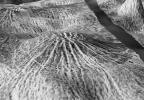
PIA00150:
-
Nova Superposed on Yavine Corona
Full Resolution:
TIFF
(260.4 kB)
JPEG
(62.85 kB)
|
|
|
1998-06-03 |
Venus
|
Magellan
|
Imaging Radar
|
723x425x1 |
|
-
PIA00098:
-
Close-up View of Yavine Corona
Full Resolution:
TIFF
(325.3 kB)
JPEG
(83.16 kB)
|
|
|
1998-06-03 |
Venus
|
Magellan
|
Imaging Radar
|
647x425x1 |

|
-
PIA00097:
-
Close-up View of Atete Corona
Full Resolution:
TIFF
(324.3 kB)
JPEG
(86.92 kB)
|
|
|
1998-06-03 |
Venus
|
Magellan
|
Imaging Radar
|
723x425x1 |
|
-
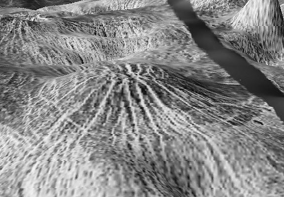
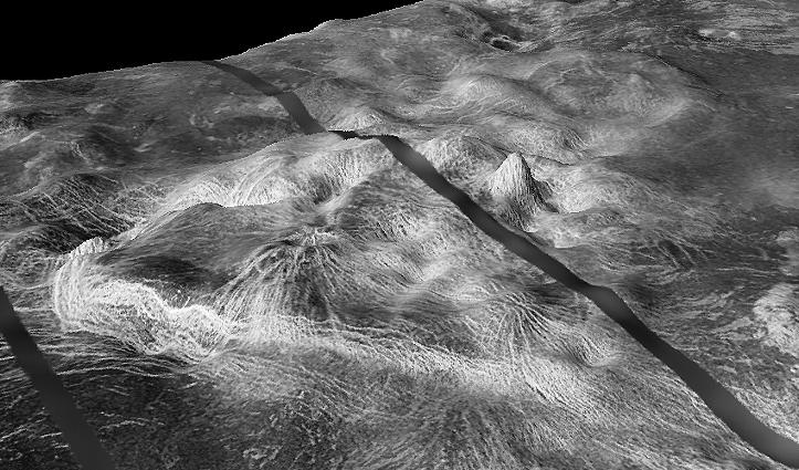
PIA00096:
-
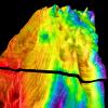
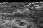
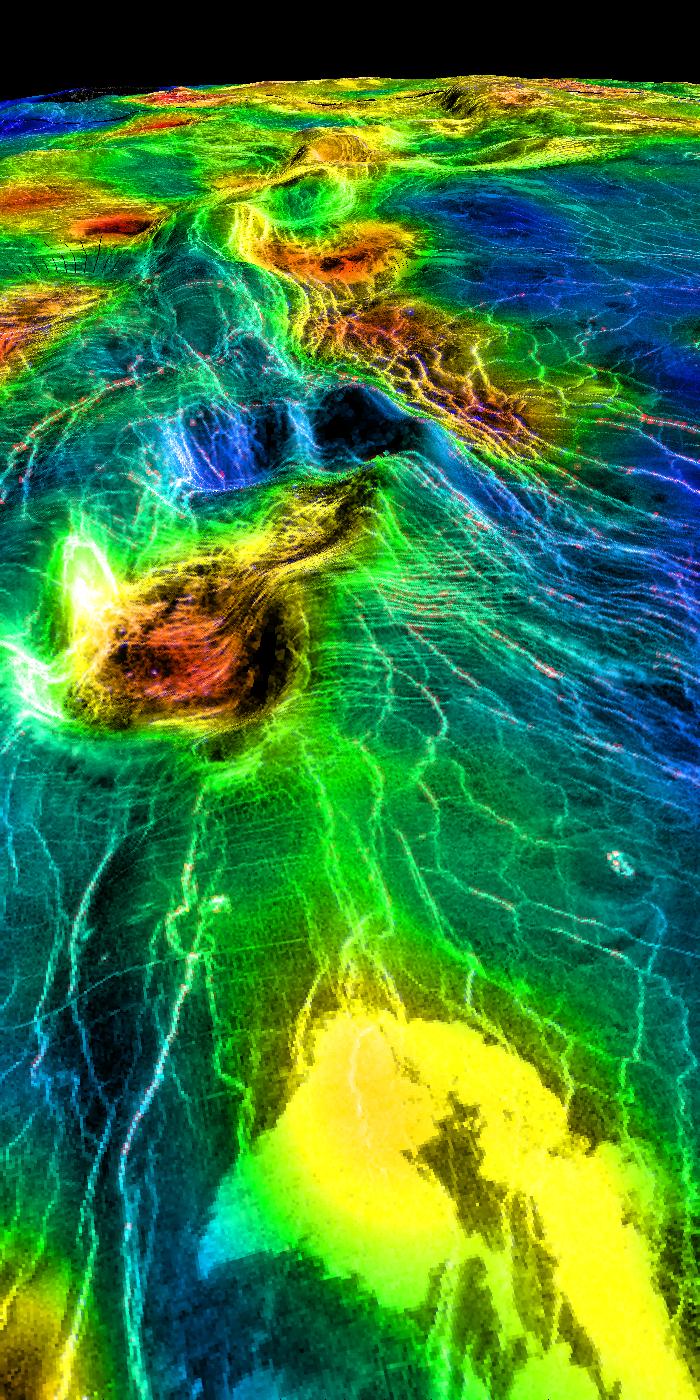
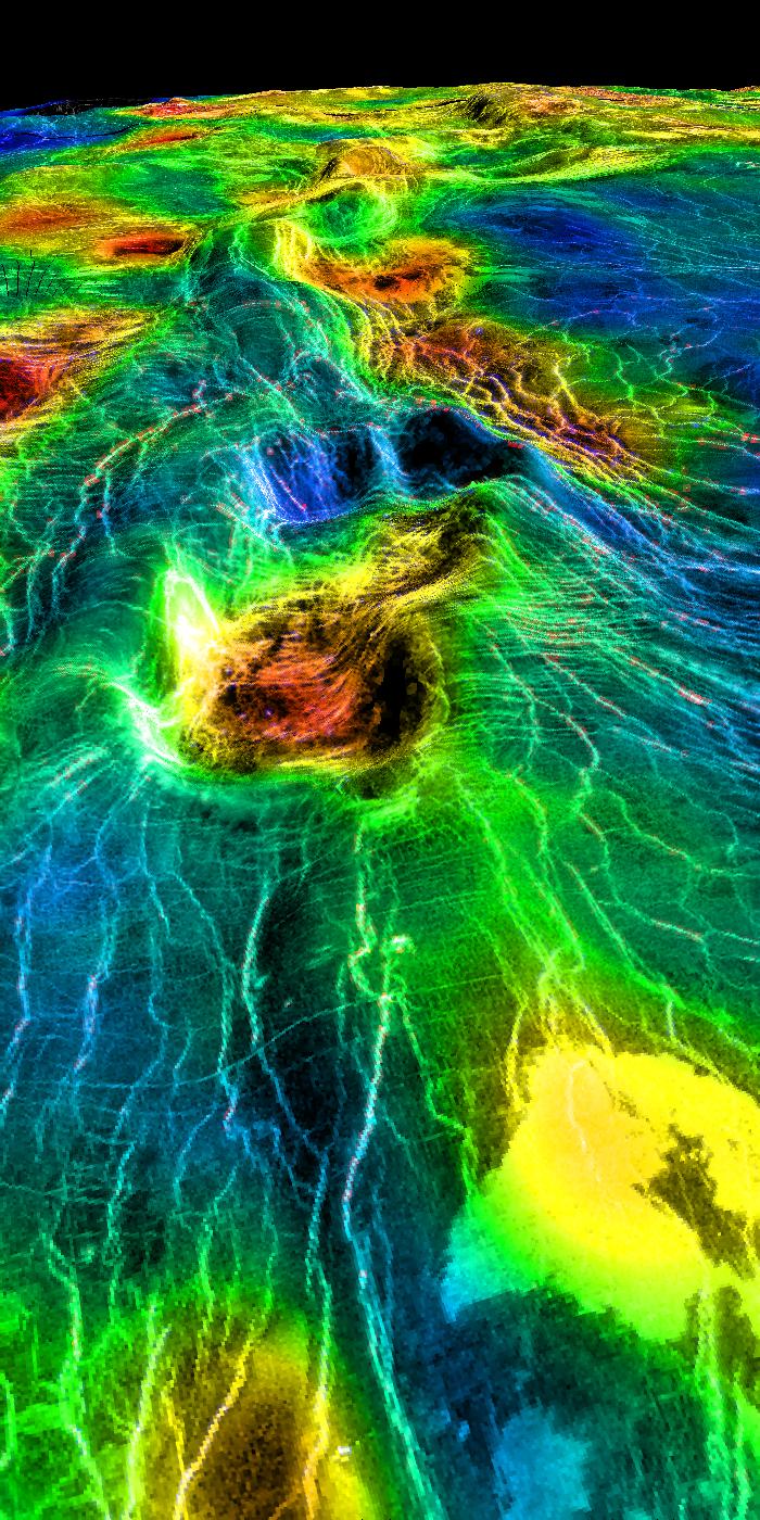
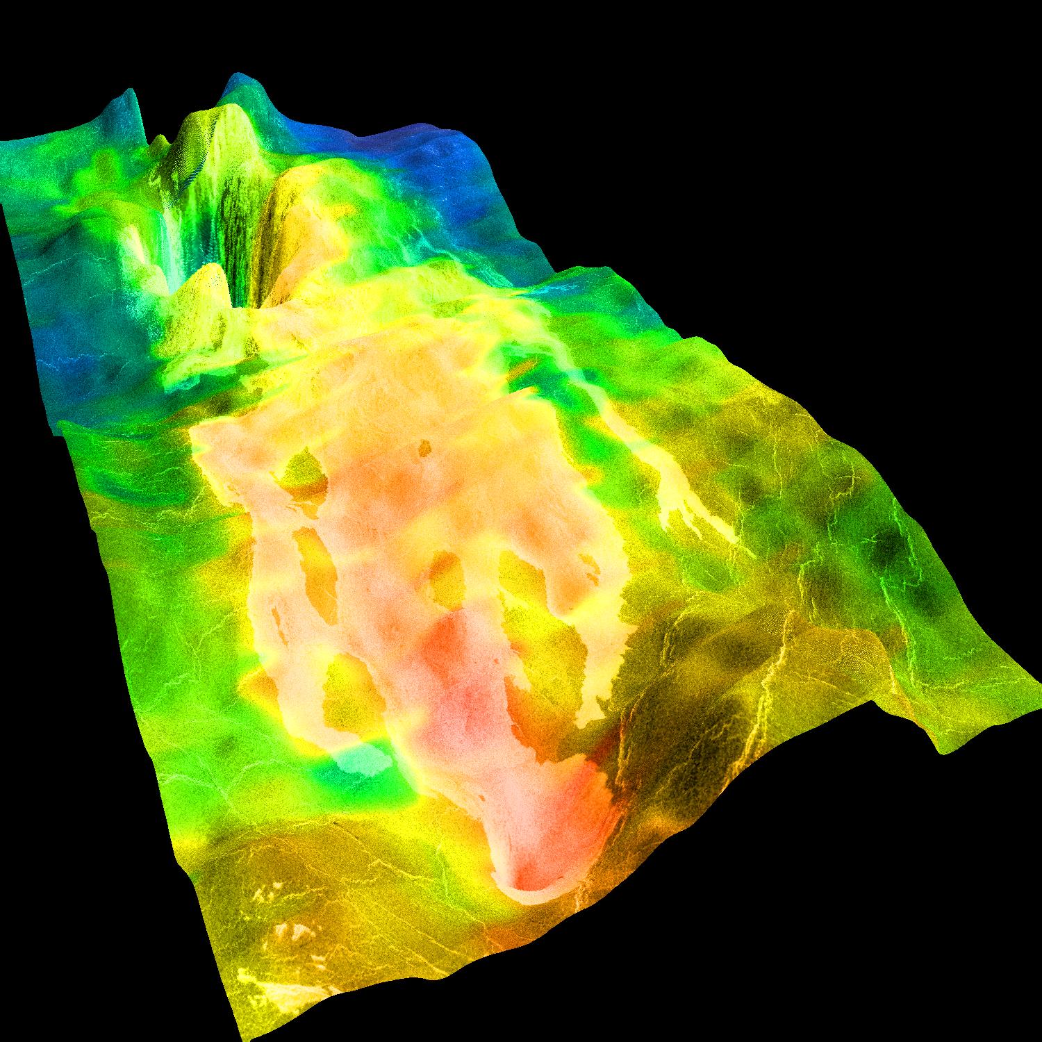
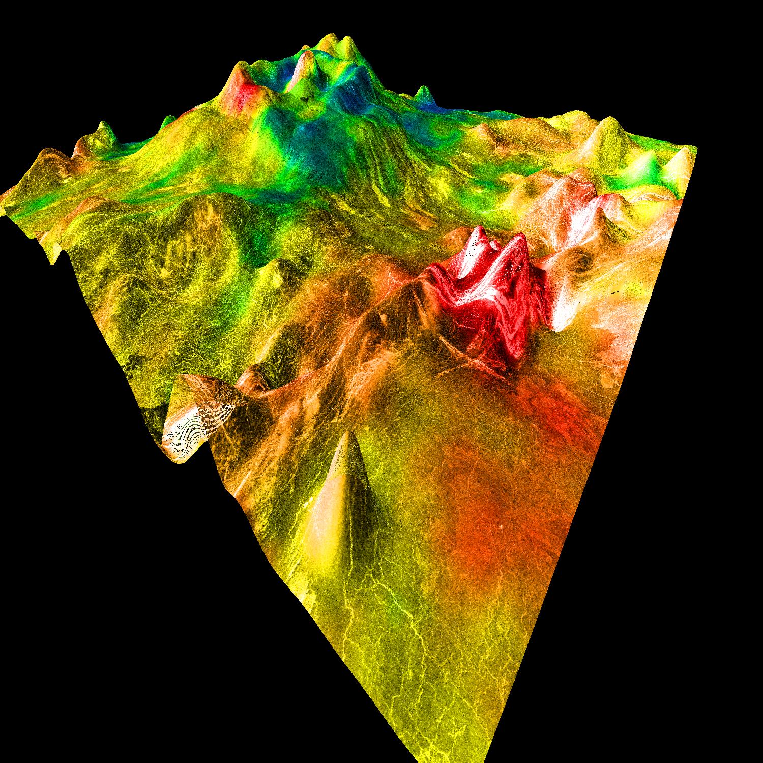
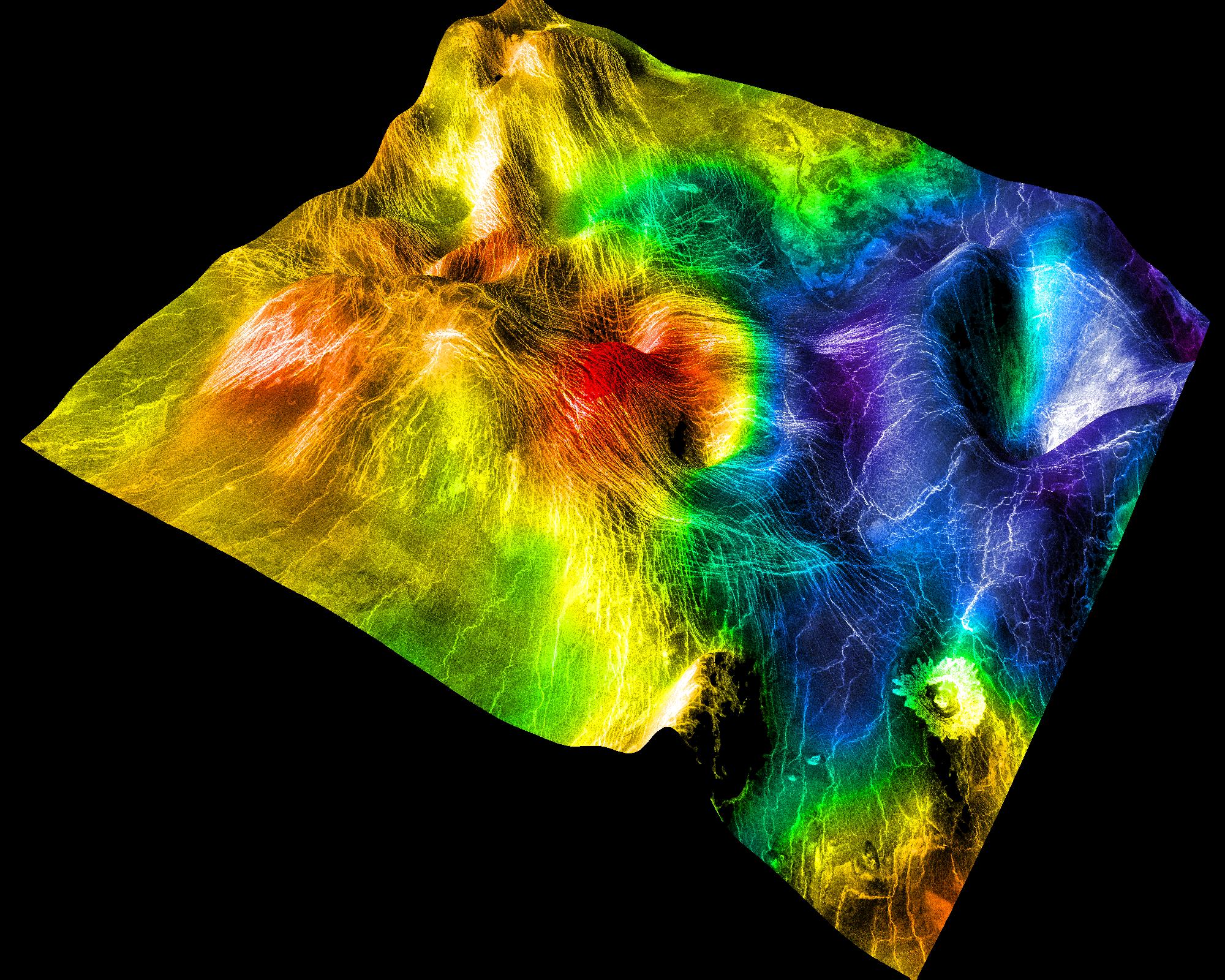
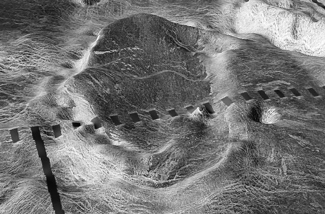
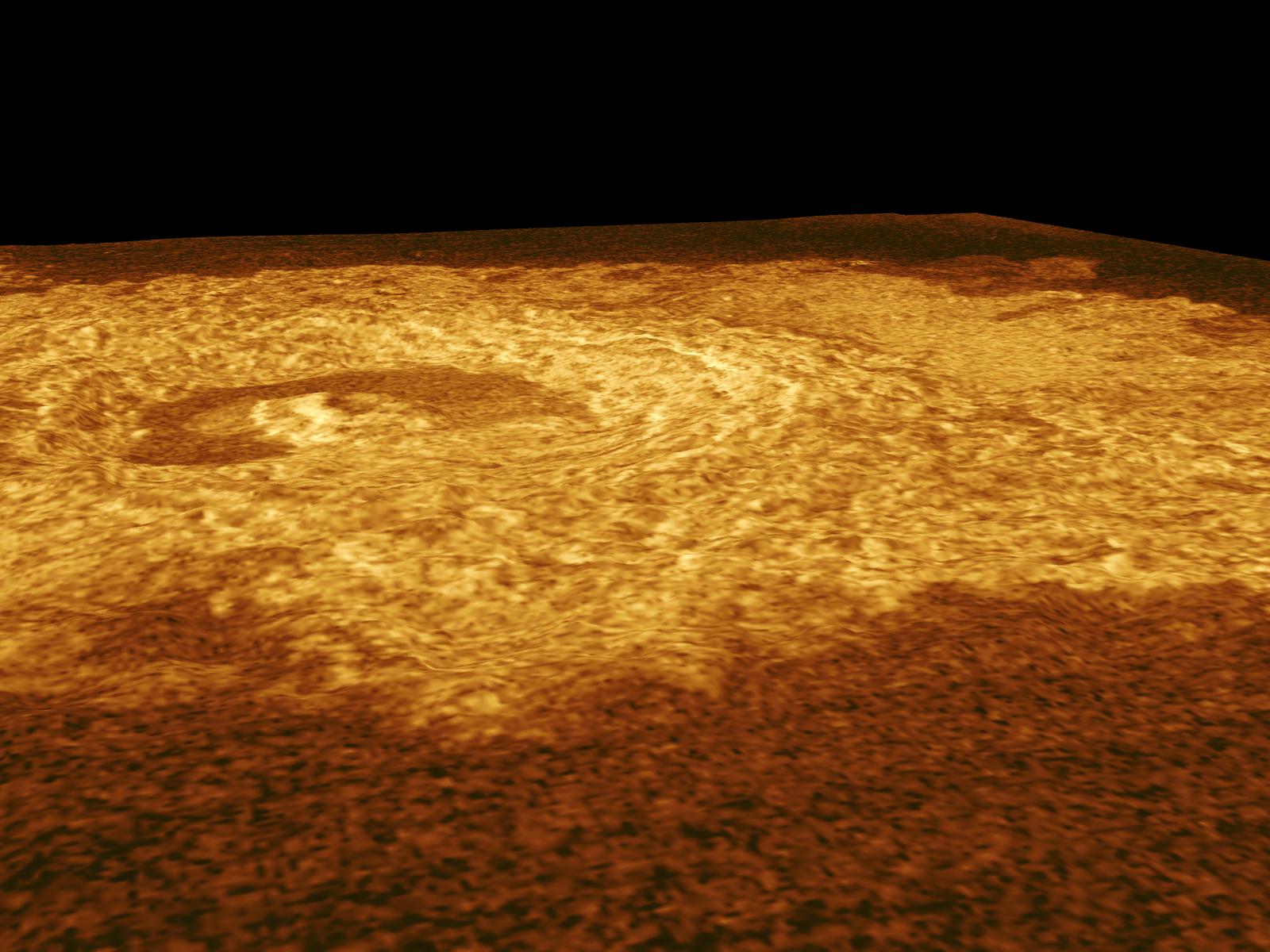
Three-dimensional perspective views of Venusian Terrains composed of reduced resolution left-looking synthetic-aperture radar images merged with altimetry data from the Magellan spacecraft.
Full Resolution:
TIFF
(225.6 kB)
JPEG
(63.99 kB)
|
|
|
1998-06-03 |
Venus
|
Magellan
|
Imaging Radar
|
647x425x1 |
|
-
PIA00095:
-
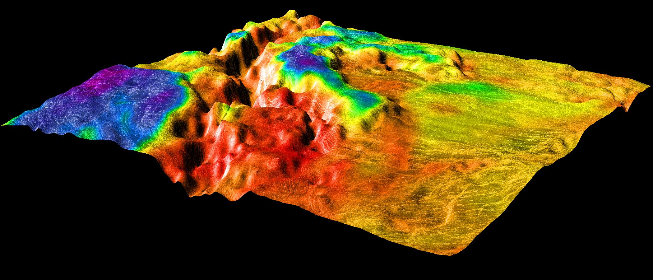
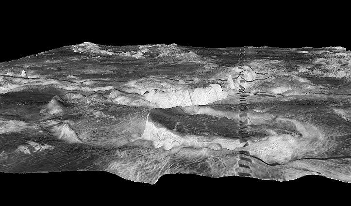
Three-dimensional perspective views of Venusian Terrains composed of reduced resolution left-looking synthetic-aperture radar images merged with altimetry data from the Magellan spacecraft.
Full Resolution:
TIFF
(268.7 kB)
JPEG
(68.45 kB)
|
|
|
1998-06-03 |
Venus
|
Pioneer Venus
|
Imaging Radar
|
500x568x3 |
|
-
PIA00093:
-
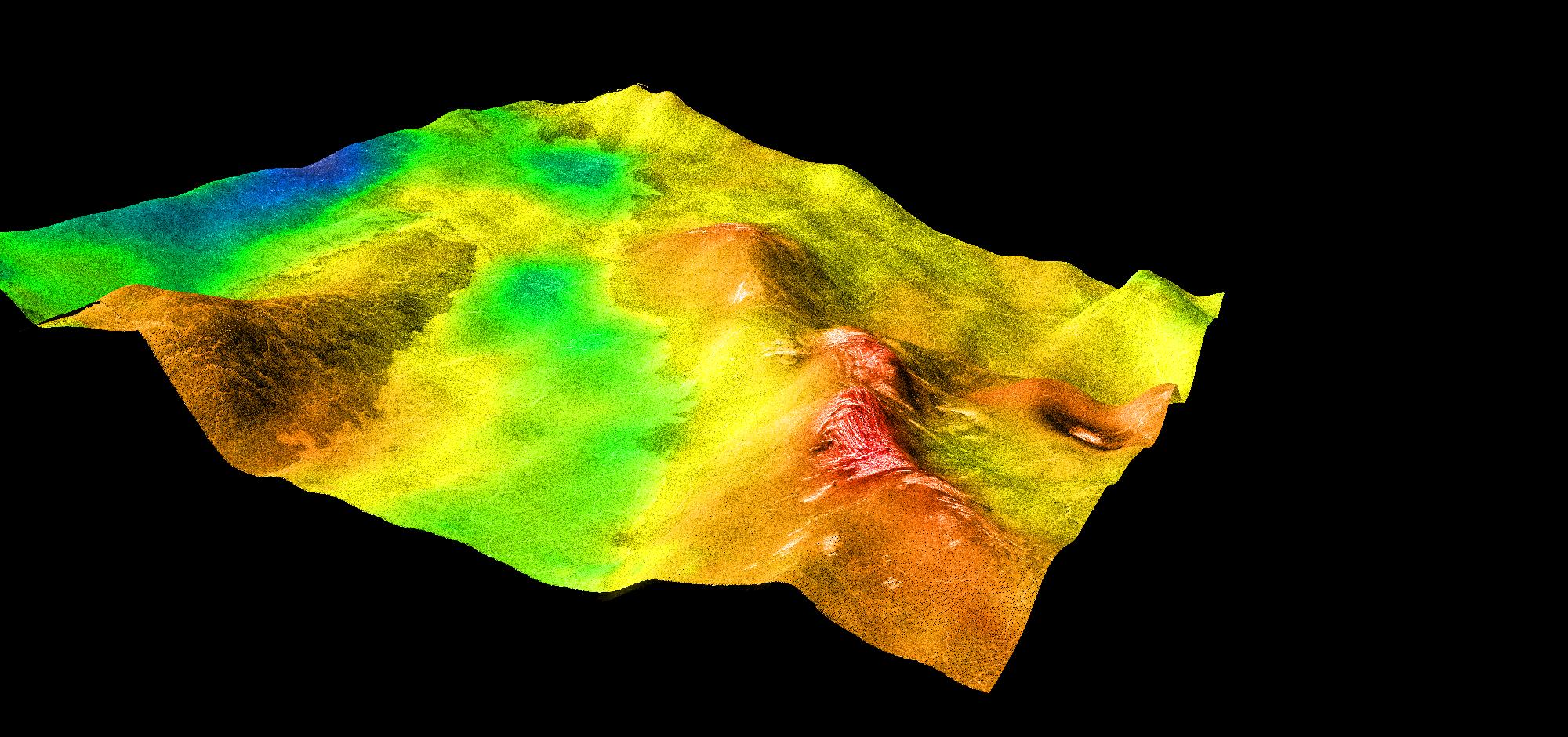
Perspective View of Ishtar Terra
Full Resolution:
TIFF
(372.1 kB)
JPEG
(49.56 kB)
|
|
|
1998-04-28 |
Earth
|
Spaceborne Imaging Radar-C/X-Band Synthetic Aperture Radar
|
Imaging Radar
|
3930x2880x3 |
|
-
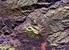
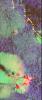
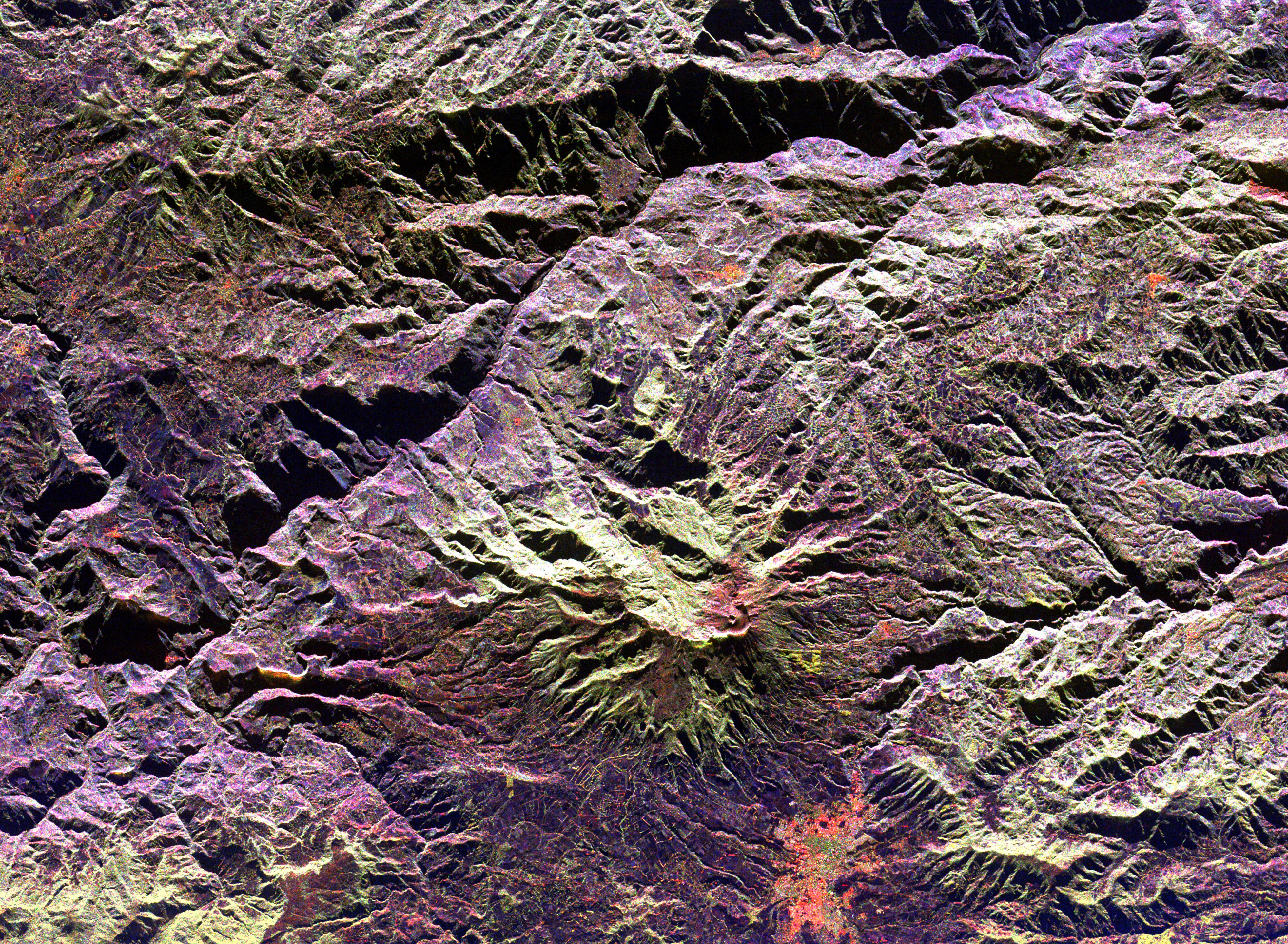
PIA01305:
-
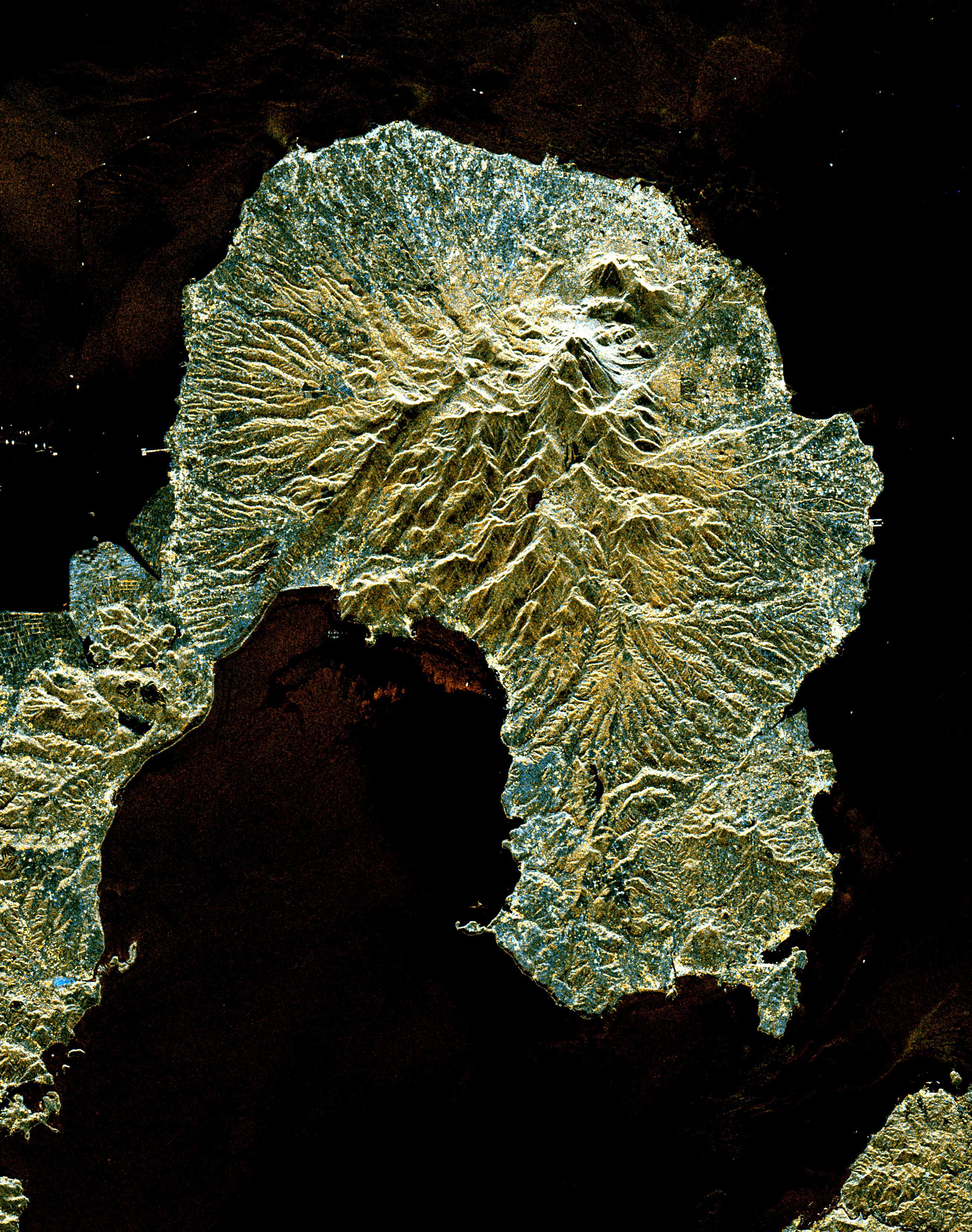
Space Radar Image of Galeras Volcano, Colombia
Full Resolution:
TIFF
(40.91 MB)
JPEG
(3.423 MB)
|
|
|
1998-04-28 |
Earth
|
Spaceborne Imaging Radar-C/X-Band Synthetic Aperture Radar
|
Imaging Radar
|
1660x3000x3 |
|
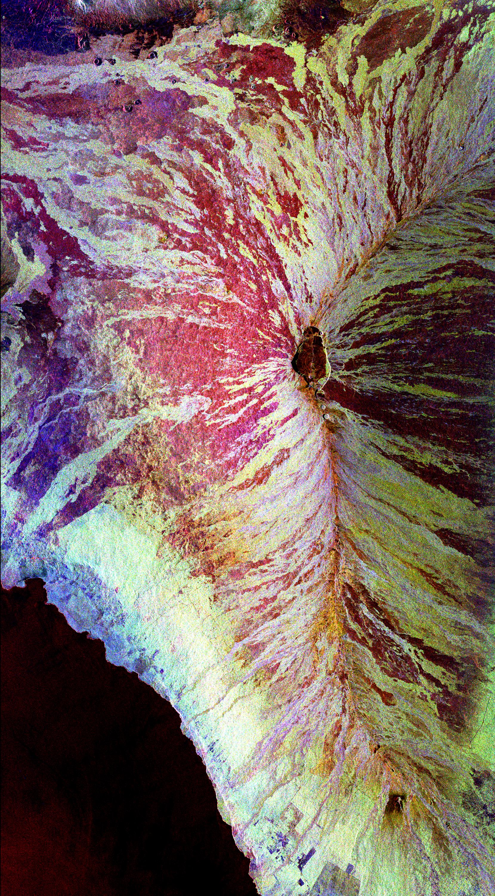
-
PIA01304:
-
Space Radar Image of Mauna Loa, Hawaii
Full Resolution:
TIFF
(18 MB)
JPEG
(1.84 MB)
|
|
|
1998-04-28 |
Earth
|
Spaceborne Imaging Radar-C/X-Band Synthetic Aperture Radar
|
Imaging Radar
|
2188x1201x3 |
|
-
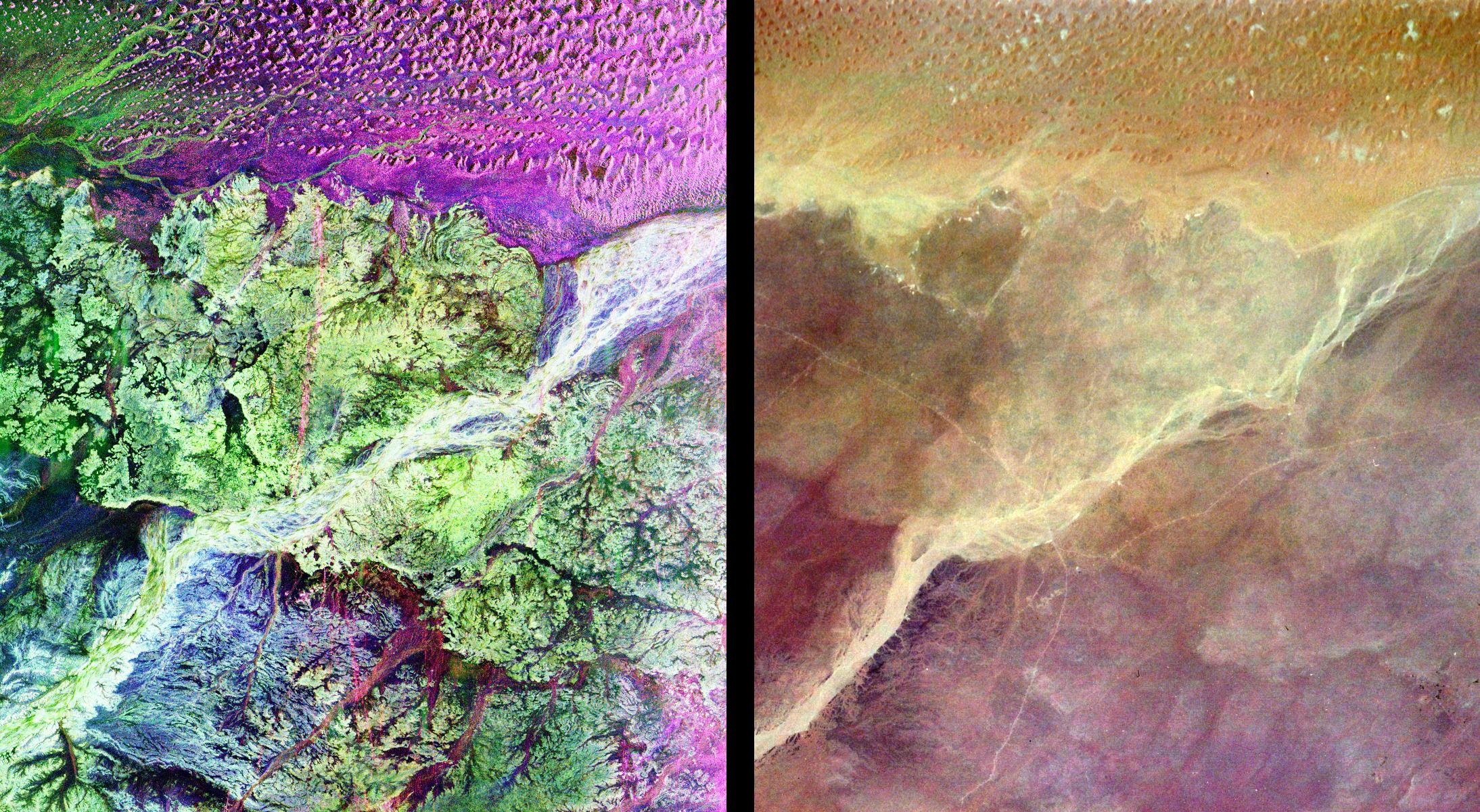
PIA01302:
-
Space Radar Image of Ubar Optical/Radar
Full Resolution:
TIFF
(10.02 MB)
JPEG
(795.3 kB)
|
|
|
1998-04-14 |
Earth
|
Spaceborne Imaging Radar-C/X-Band Synthetic Aperture Radar
|
Imaging Radar
|
1498x3000x3 |

|
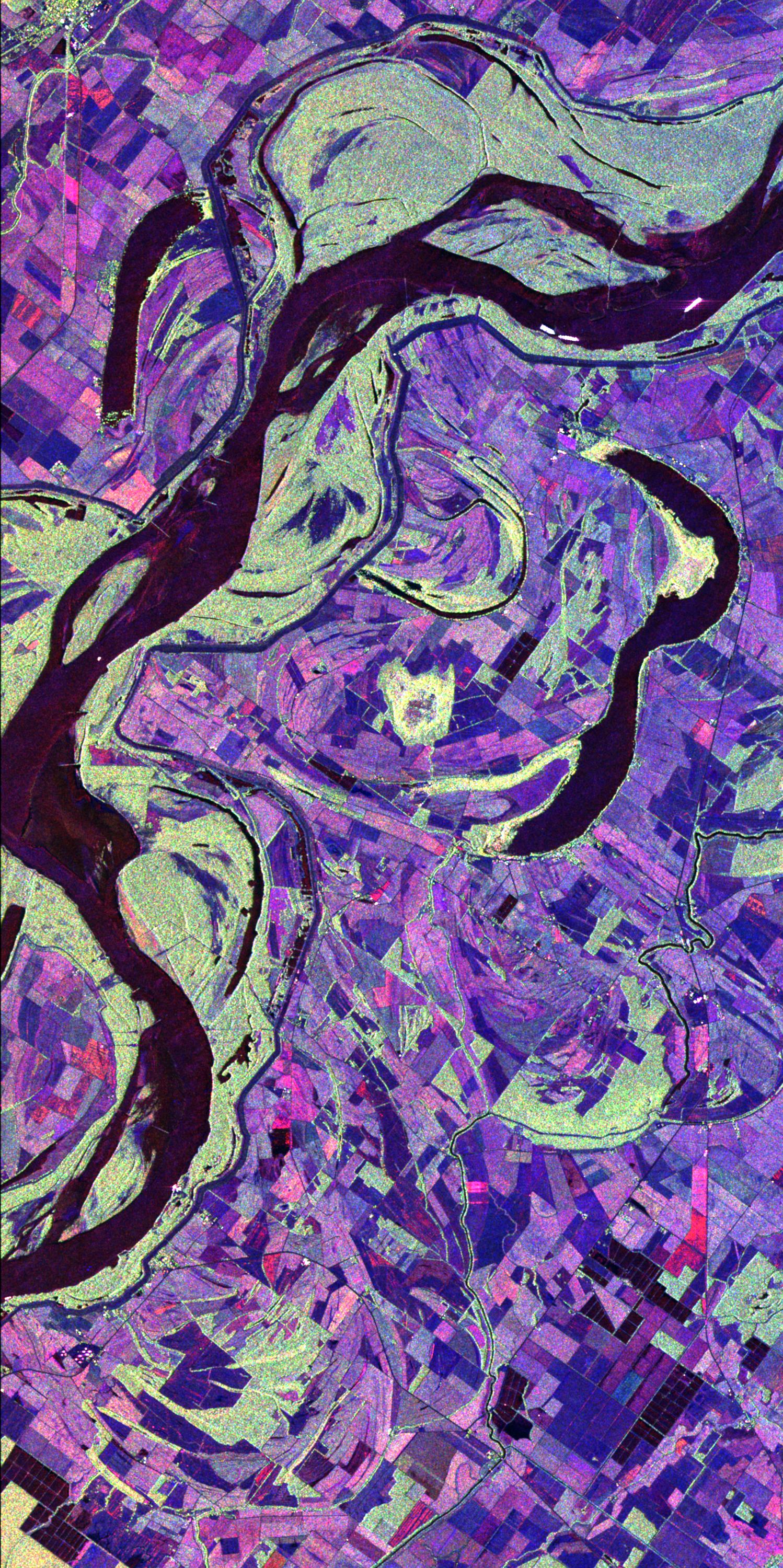
-
PIA01311:
-
Space Radar Image of Mississippi River
Full Resolution:
TIFF
(17.41 MB)
JPEG
(1.207 MB)
|
|
|
1998-04-14 |
Earth
|
Spaceborne Imaging Radar-C/X-Band Synthetic Aperture Radar
|
Imaging Radar
|
3112x4817x3 |
|
-
PIA01310:
-
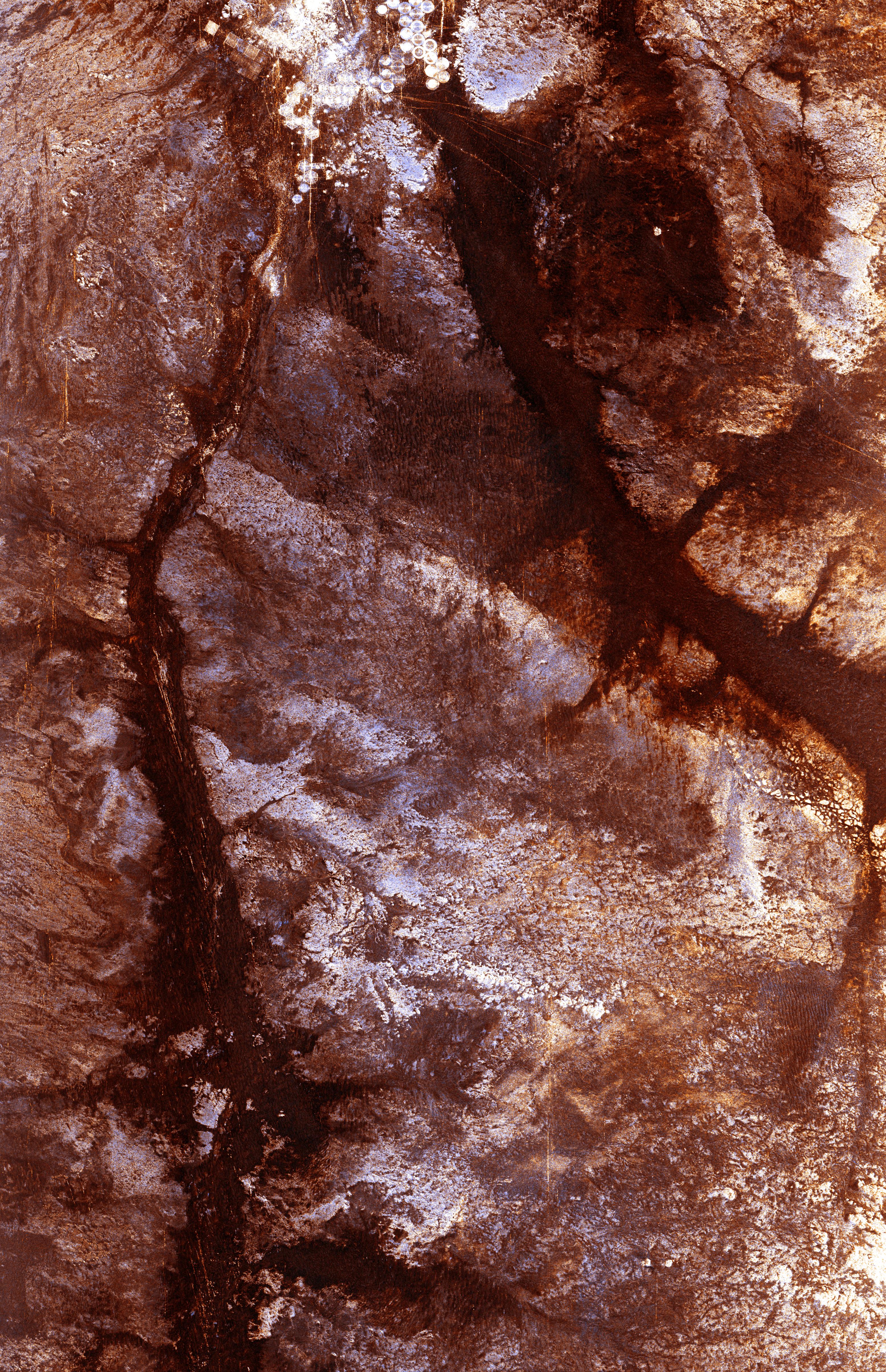
Space Radar Image of Wadi Kufra, Libya
Full Resolution:
TIFF
(54.46 MB)
JPEG
(4.357 MB)
|
|
|
1998-04-14 |
Earth
|
Spaceborne Imaging Radar-C/X-Band Synthetic Aperture Radar
|
Imaging Radar
|
1950x3000x3 |
|
-
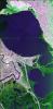
PIA01309:
-
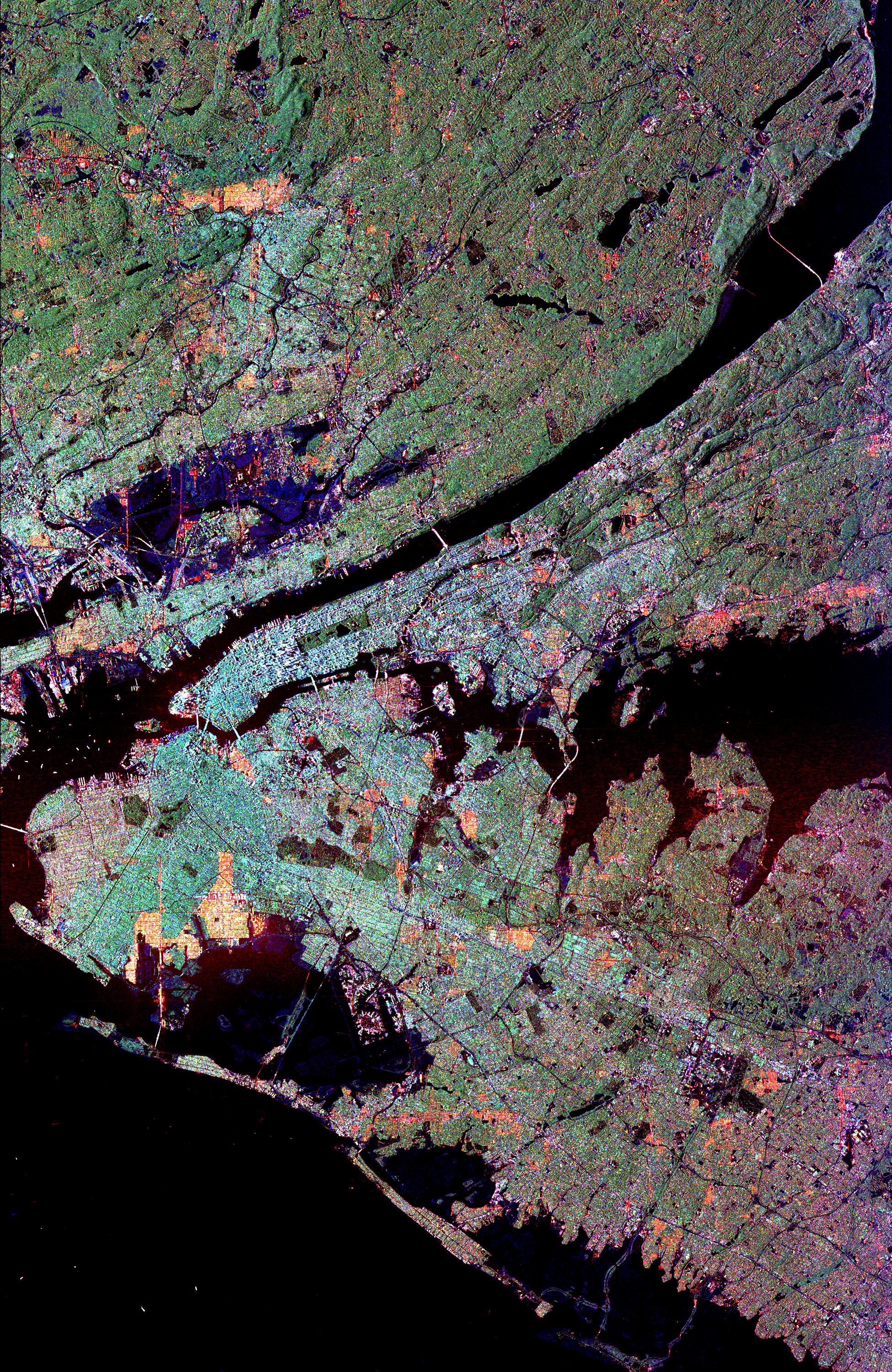
Space Radar Image of New York City
Full Resolution:
TIFF
(16.45 MB)
JPEG
(2.531 MB)
|
|
|
1998-04-14 |
Earth
|
Spaceborne Imaging Radar-C/X-Band Synthetic Aperture Radar
|
Imaging Radar
|
1676x4000x3 |
|
-
PIA01308:
-
Space Radar Image of Western Pacific Rain Vlouds
Full Resolution:
TIFF
(25.5 MB)
JPEG
(2.205 MB)
|
|
|
1998-04-14 |
Earth
|
Spaceborne Imaging Radar-C/X-Band Synthetic Aperture Radar
|
Imaging Radar
|
2430x3078x3 |
|
-
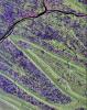
PIA01306:
-
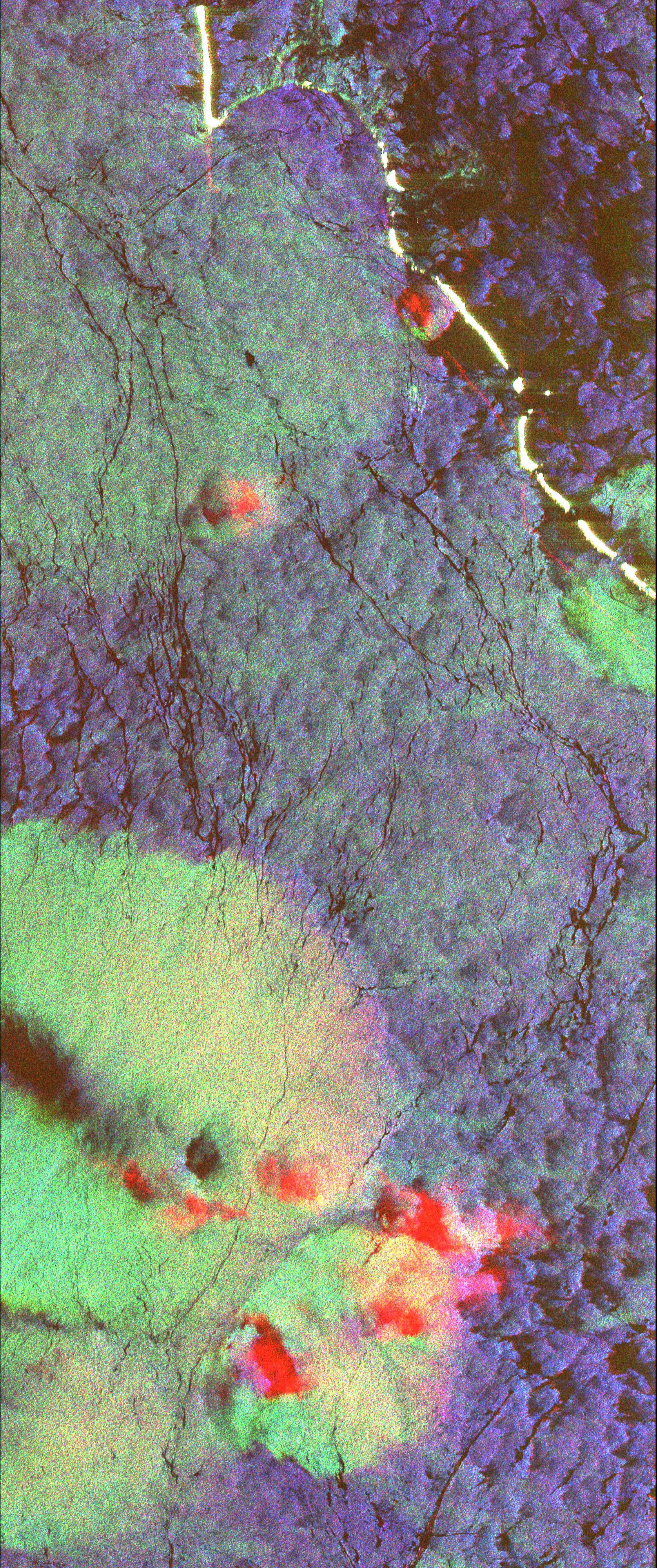
Space Radar Image of Sunbury, Pennsylvania
Full Resolution:
TIFF
(29.48 MB)
JPEG
(2.666 MB)
|
|
|
1998-04-14 |
Earth
|
Spaceborne Imaging Radar-C/X-Band Synthetic Aperture Radar
|
Imaging Radar
|
1943x4000x3 |
|
-
PIA01300:
-
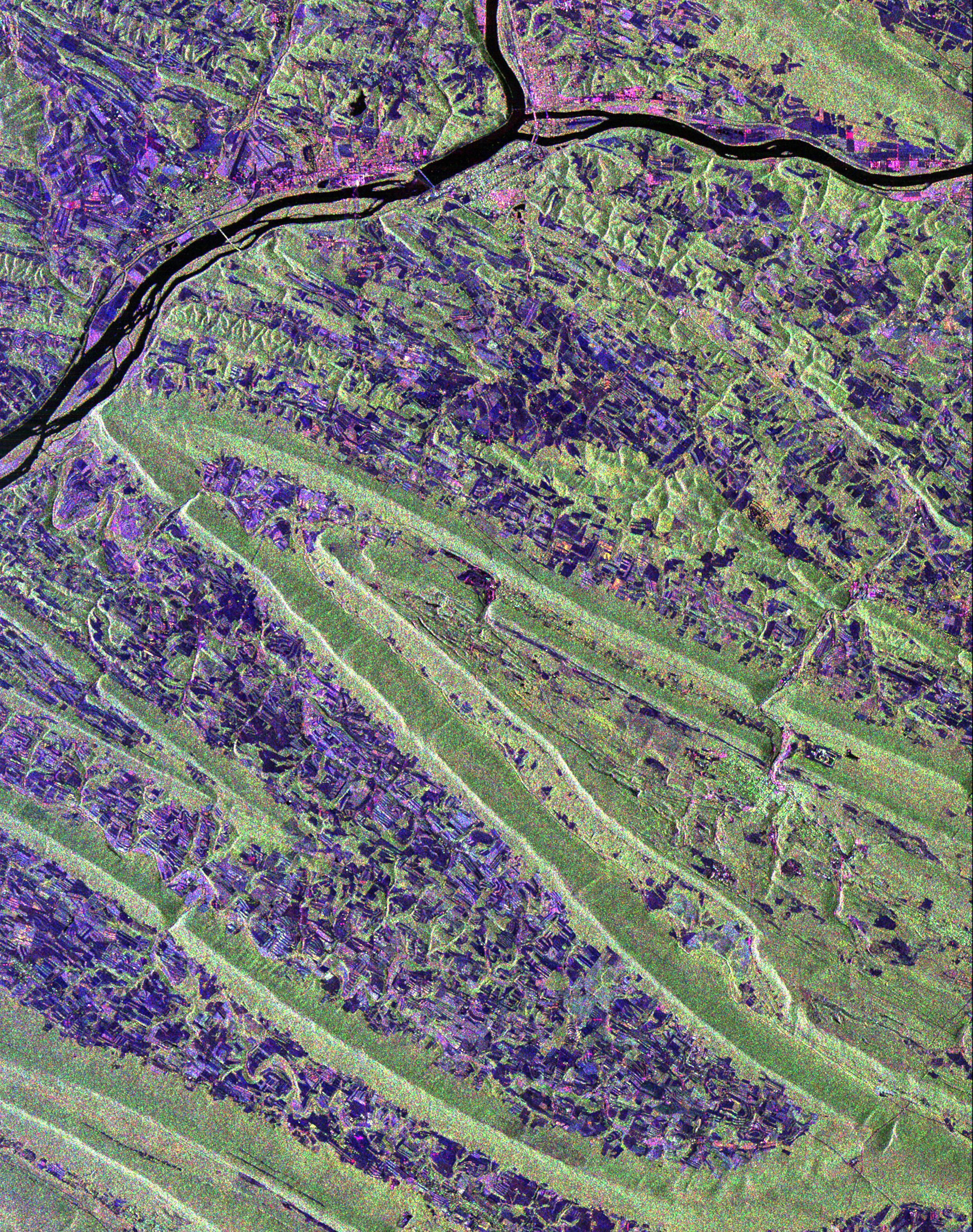
Space Radar Image of New Orleans, Louisiana
Full Resolution:
TIFF
(26.94 MB)
JPEG
(2.16 MB)
|
|
|
1998-04-09 |
Earth
|
Spaceborne Imaging Radar-C/X-Band Synthetic Aperture Radar
|
Imaging Radar
|
1409x1567x3 |
|
-
PIA01301:
-
Space Radar Image of Mount Everest
Full Resolution:
TIFF
(7.613 MB)
JPEG
(577.3 kB)
|
|
|
1998-04-09 |
Earth
|
Spaceborne Imaging Radar-C/X-Band Synthetic Aperture Radar
|
Imaging Radar
|
3022x3018x3 |
|
-
PIA01321:
-
Onboard View - Space Shuttle Endeavour
Full Resolution:
TIFF
(22.33 MB)
JPEG
(1.162 MB)
|
|
|
1997-01-16 |
Venus
|
Magellan
|
Imaging Radar
|
8131x7169x1 |
|
-
PIA00217:
-
Arecibo/Magellan Composite of Quetzalpetlatl Corona
Full Resolution:
TIFF
(34.49 MB)
JPEG
(9.458 MB)
|
|
|
1996-12-02 |
Venus
|
Magellan
|
Imaging Radar
|
5000x4000x3 |
|
-
PIA00481:
-
Venus - Three-Dimensional Perspective View of Alpha Region
Full Resolution:
TIFF
(18.02 MB)
JPEG
(4.56 MB)
|
|
|
1996-11-26 |
Venus
|
Magellan
|
Imaging Radar
|
5475x5341x1 |
|
-
PIA00480:
-
Venus - Impact Crater 'Isabella
Full Resolution:
TIFF
(24.35 MB)
JPEG
(7.659 MB)
|
|
|
1996-11-26 |
Venus
|
Magellan
|
Imaging Radar
|
2500x2950x1 |
|
-
PIA00479:
-
Venus - Complex Crater 'Dickinson' in NE Atalanta Region
Full Resolution:
TIFF
(6.043 MB)
JPEG
(1.881 MB)
|
|
|
1996-11-26 |
Venus
|
Magellan
|
Imaging Radar
|
10240x10240x1 |
|
-
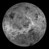
PIA00478:
-
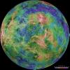
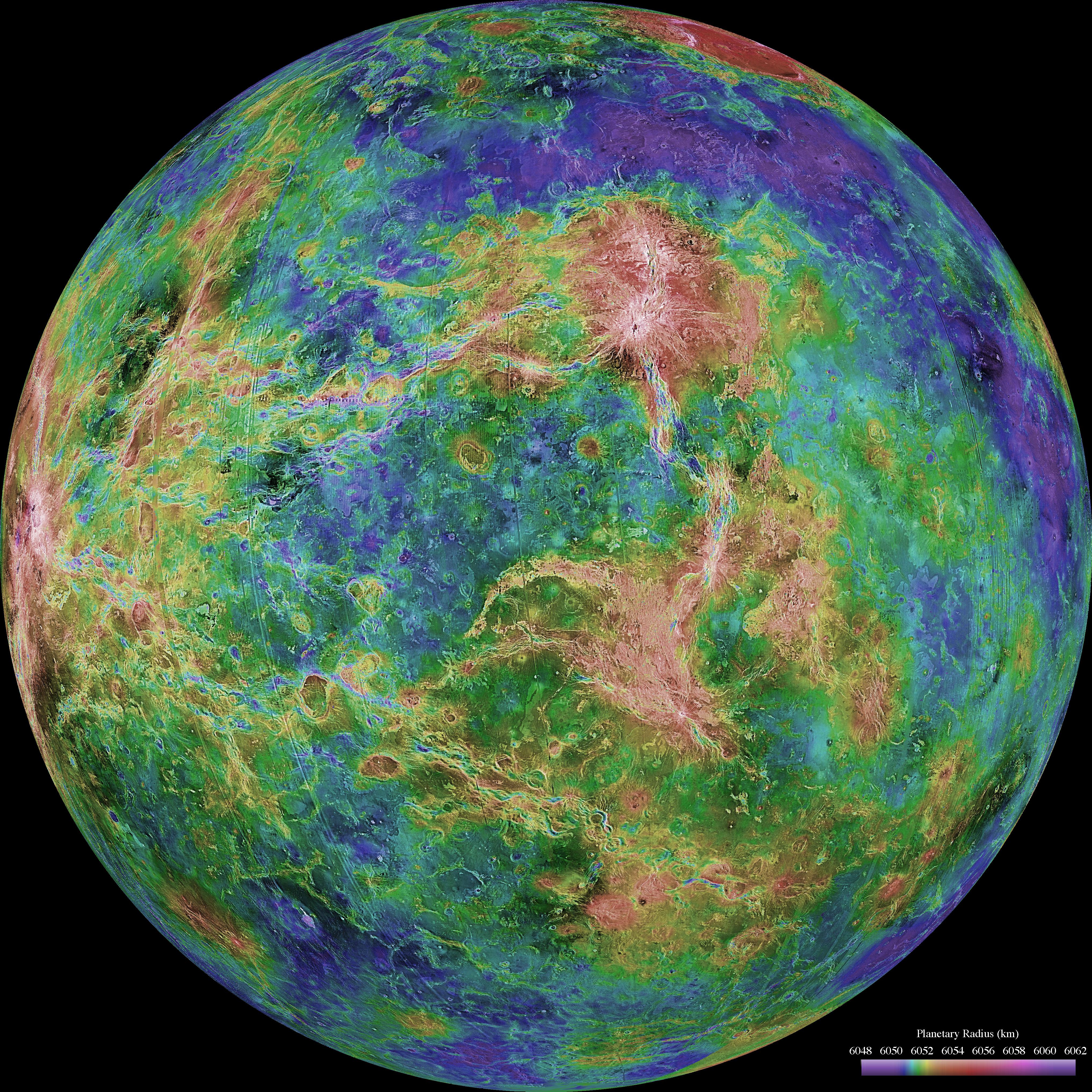
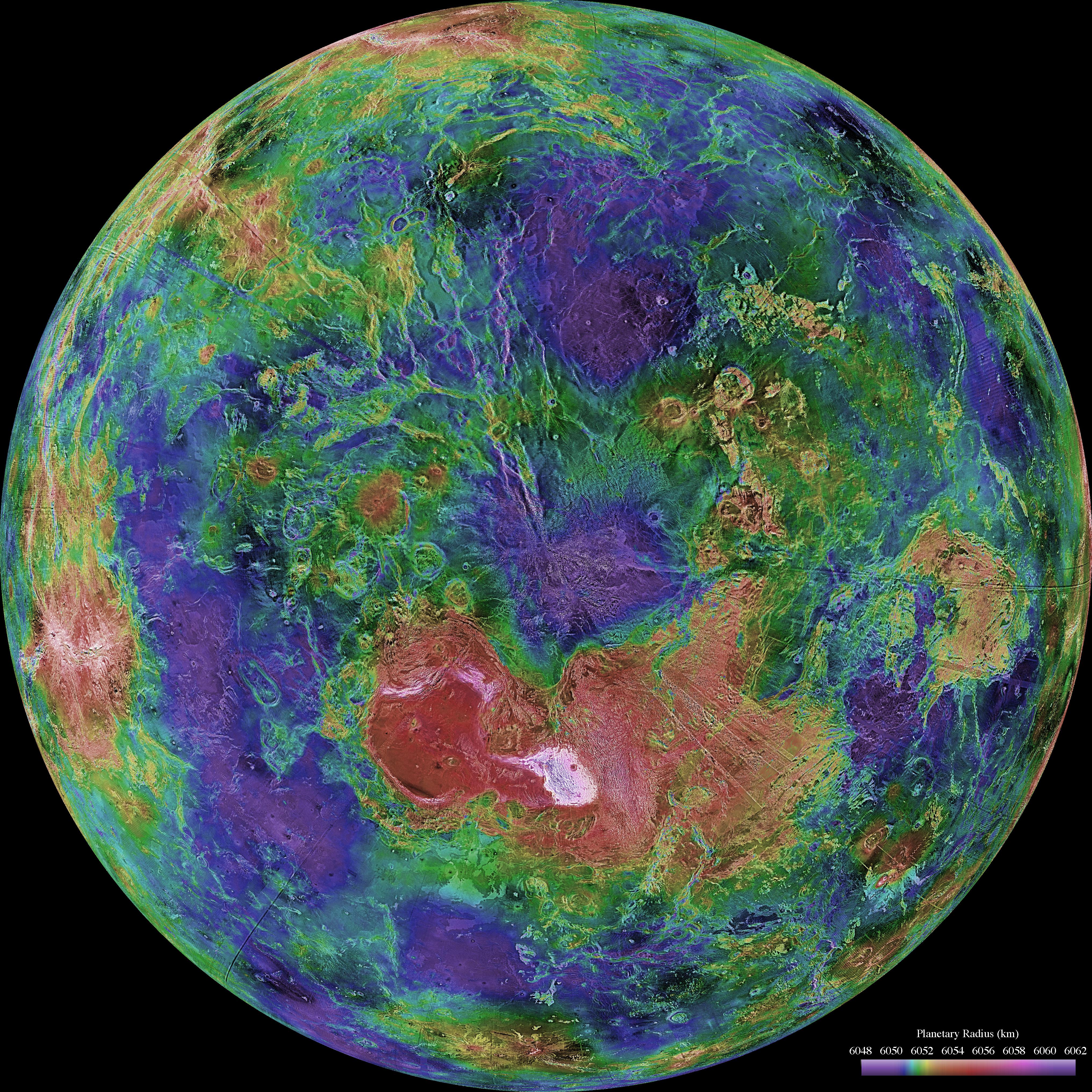
Venus - Global View Centered at 180 degrees
Full Resolution:
TIFF
(44.9 MB)
JPEG
(8.515 MB)
|
|
|
1996-11-26 |
Venus
|
Magellan
|
Imaging Radar
|
1633x1392x1 |

|
-
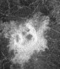
PIA00477:
-
Venus - Possible Remnants of a Meteoroid in Lakshmi Region
Full Resolution:
TIFF
(1.833 MB)
JPEG
(1.037 MB)
|
|
|
1996-11-22 |
Venus
|
Magellan
|
Imaging Radar
|
517x592x1 |
|
-
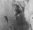
PIA00476:
-
Venus - Multi-Floor Irregular Crater
Full Resolution:
TIFF
(294.2 kB)
JPEG
(109.8 kB)
|
|
|
1996-11-20 |
Venus
|
Magellan
|
Imaging Radar
|
880x850x1 |
|
-
PIA00475:
-
Venus - Crater 'Stefania' in N. Sedna Planitia
Full Resolution:
TIFF
(539 kB)
JPEG
(265.2 kB)
|
|
|
1996-11-20 |
Venus
|
Magellan
|
Imaging Radar
|
530x572x1 |
|
-
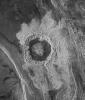
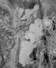
PIA00474:
-
Venus - Impact Crater in Eastern Navka Region
Full Resolution:
TIFF
(274.6 kB)
JPEG
(118.9 kB)
|
|
|
1996-11-20 |
Venus
|
Magellan
|
Imaging Radar
|
480x591x1 |
|
-
PIA00473:
-
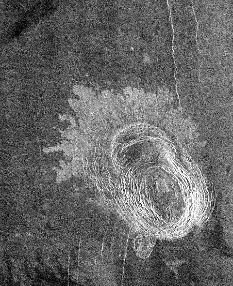
Venus - Sag Caldera 'Sachs Patera
Full Resolution:
TIFF
(208 kB)
JPEG
(116.5 kB)
|
|
|
1996-11-20 |
Venus
|
Magellan
|
Imaging Radar
|
975x1024x1 |
|
-
PIA00472:
-
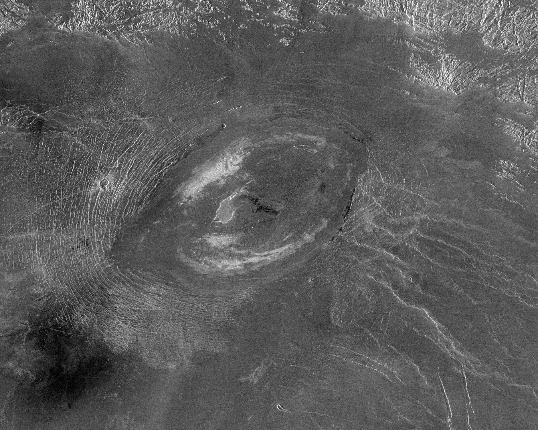
Venus - Impact Crater 'Jeanne
Full Resolution:
TIFF
(682.4 kB)
JPEG
(398.1 kB)
|
|
|
1996-11-14 |
Venus
|
Magellan
|
Imaging Radar
|
1126x1015x1 |
|
-
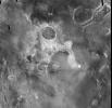
PIA00487:
-
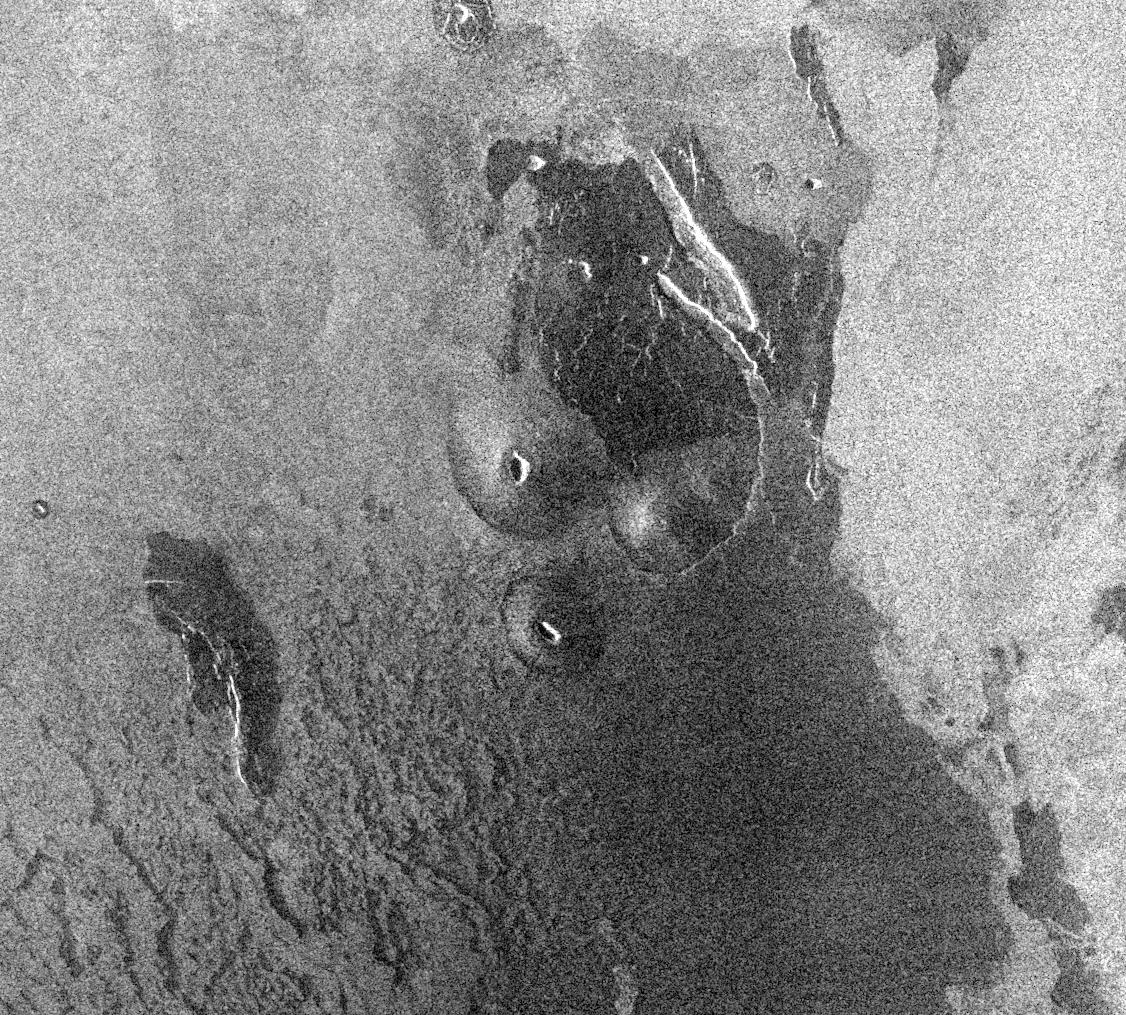
Venus - Volcanic Domes on Flank of Volcanic Maat in East Ovda Region
Full Resolution:
TIFF
(1.139 MB)
JPEG
(398.8 kB)
|
|
|
1996-11-14 |
Venus
|
Magellan
|
Imaging Radar
|
1880x1504x1 |

|
-
PIA00485:
-
Venus - A Large Elongated Caldera 'Sacajawea Patera
Full Resolution:
TIFF
(2.22 MB)
JPEG
(712.6 kB)
|
|
|
1996-11-14 |
Venus
|
Magellan
|
Imaging Radar
|
2510x3072x1 |
|
-
PIA00486:
-
Venus - System of Lava Flows and Ridge Belt
Full Resolution:
TIFF
(6.288 MB)
JPEG
(2.243 MB)
|
|
|
1996-11-14 |
Venus
|
Magellan
|
Imaging Radar
|
2560x1024x1 |
|
-
PIA00483:
-
Venus - Outflow Channel in South Navka
Full Resolution:
TIFF
(2.171 MB)
JPEG
(825.6 kB)
|
|
|
1996-11-13 |
Earth
|
Spaceborne Imaging Radar-C/X-Band Synthetic Aperture Radar
|
Imaging Radar
|
2732x4000x3 |
|
-
PIA00505:
-
Angkor, Cambodia
Full Resolution:
TIFF
(41.23 MB)
JPEG
(3.655 MB)
|
|
|
1996-11-13 |
Earth
|
Spaceborne Imaging Radar-C/X-Band Synthetic Aperture Radar
|
Imaging Radar
|
2620x3320x3 |
|
-
PIA00504:
-
Unzen Volcano, Japan
Full Resolution:
TIFF
(14.37 MB)
JPEG
(1.832 MB)
|
|
|
1996-11-13 |
Earth
|
Spaceborne Imaging Radar-C/X-Band Synthetic Aperture Radar
|
Imaging Radar
|
2910x2040x3 |
|
-
PIA00503:
-
Roter Kamm Impact Crater in Namibia
Full Resolution:
TIFF
(20.03 MB)
JPEG
(1.839 MB)
|
|
|
1996-11-12 |
Venus
|
Magellan
|
Imaging Radar
|
4000x3000x3 |
|
-
PIA00107:
-
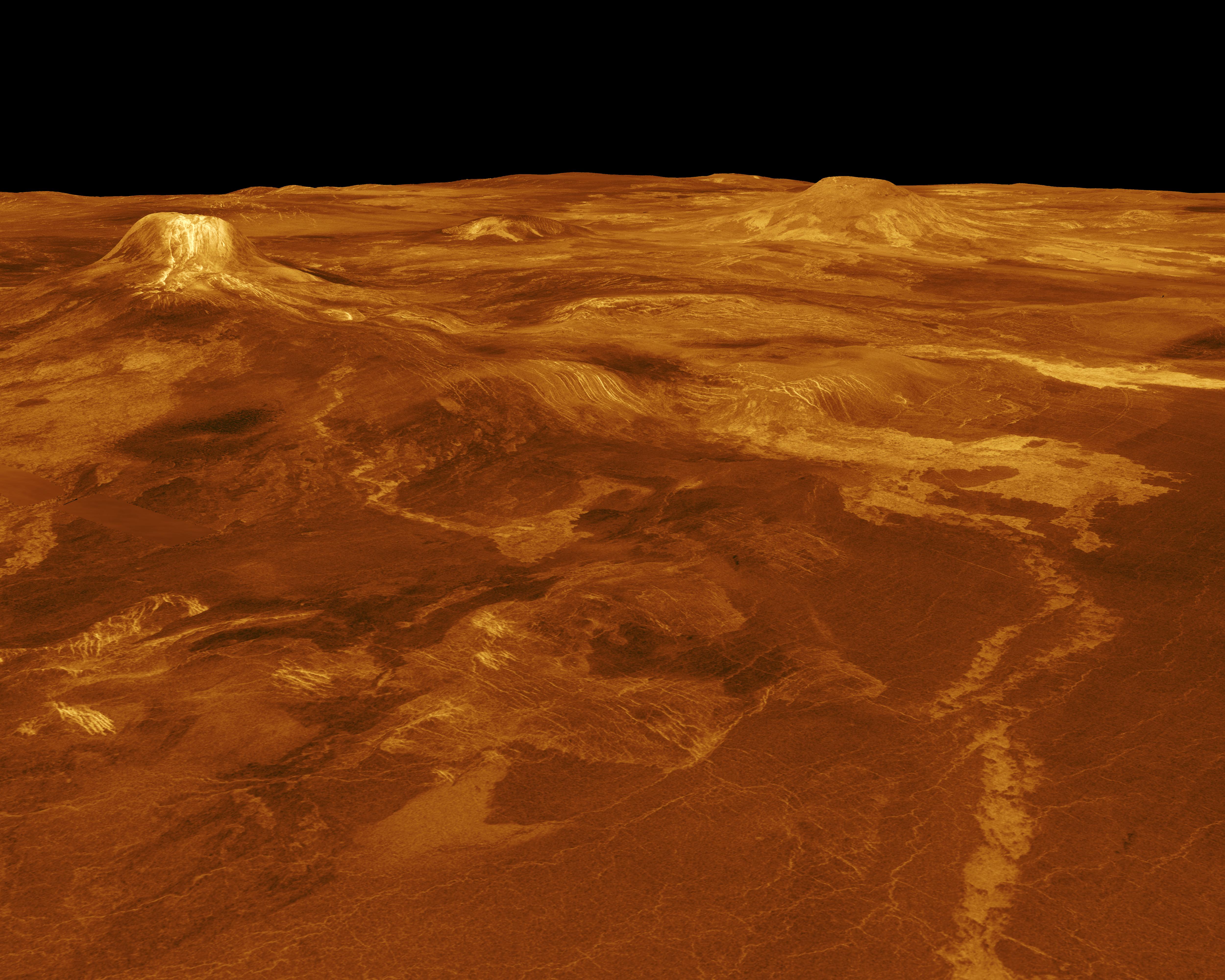
Venus - 3-D Perspective View of Sapas Mons
Full Resolution:
TIFF
(6.277 MB)
JPEG
(1.445 MB)
|
|
|
1996-11-12 |
Venus
|
Magellan
|
Imaging Radar
|
2930x3664x3 |
|
-
PIA00105:
-
Venus - Simulated Color of Leda Planitia
Full Resolution:
TIFF
(10.15 MB)
JPEG
(2.634 MB)
|
|
|
1996-11-12 |
Venus
|
Magellan
|
Imaging Radar
|
4096x4096x3 |
|
-
PIA00104:
-
Venus - Computer Simulated Global View Centered at 180 Degrees East Longitude
Full Resolution:
TIFF
(8.169 MB)
JPEG
(1.681 MB)
|
|
|
1996-11-12 |
Venus
|
Magellan
|
Imaging Radar
|
5000x4000x3 |
|
-
PIA00103:
-
Venus - 3-D Perspective View of Lavinia Planitia
Full Resolution:
TIFF
(10.28 MB)
JPEG
(2.193 MB)
|
|
|
1996-11-12 |
Venus
|
Magellan
|
Imaging Radar
|
5000x4000x3 |
|
-
PIA00102:
-
Venus - 3-D Perspective View of Estla Regio
Full Resolution:
TIFF
(8.759 MB)
JPEG
(1.965 MB)
|
|
|
1996-11-07 |
Venus
|
Magellan
|
Imaging Radar
|
1000x1000x1 |
|
-
PIA00482:
-
Venus - Dark Volcanic Lava Flows
Full Resolution:
TIFF
(540.1 kB)
JPEG
(278.4 kB)
|
|
|
1996-10-23 |
Venus
|
Magellan
|
Imaging Radar
|
2082x1736x1 |
|
-
PIA00471:
-
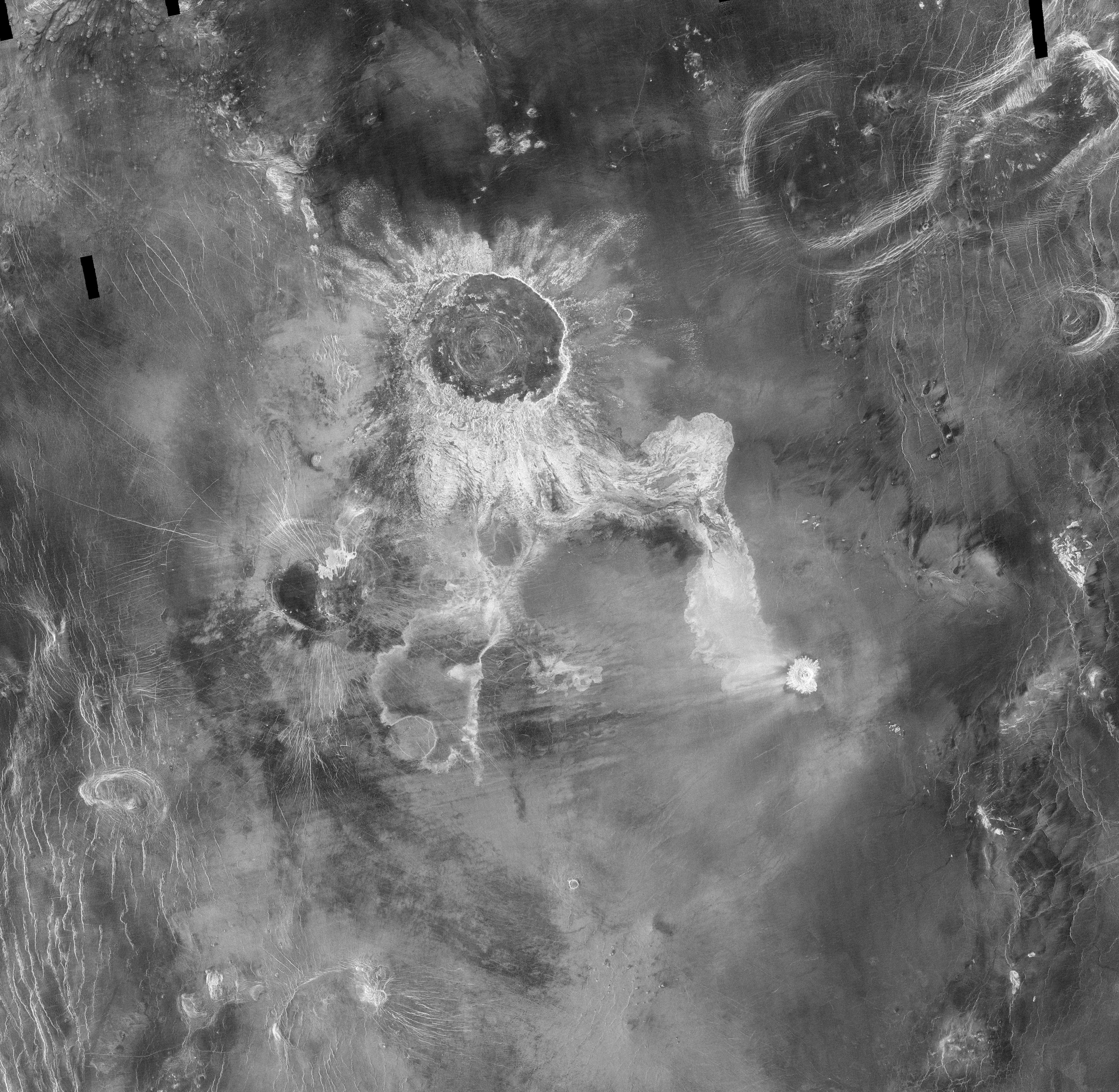
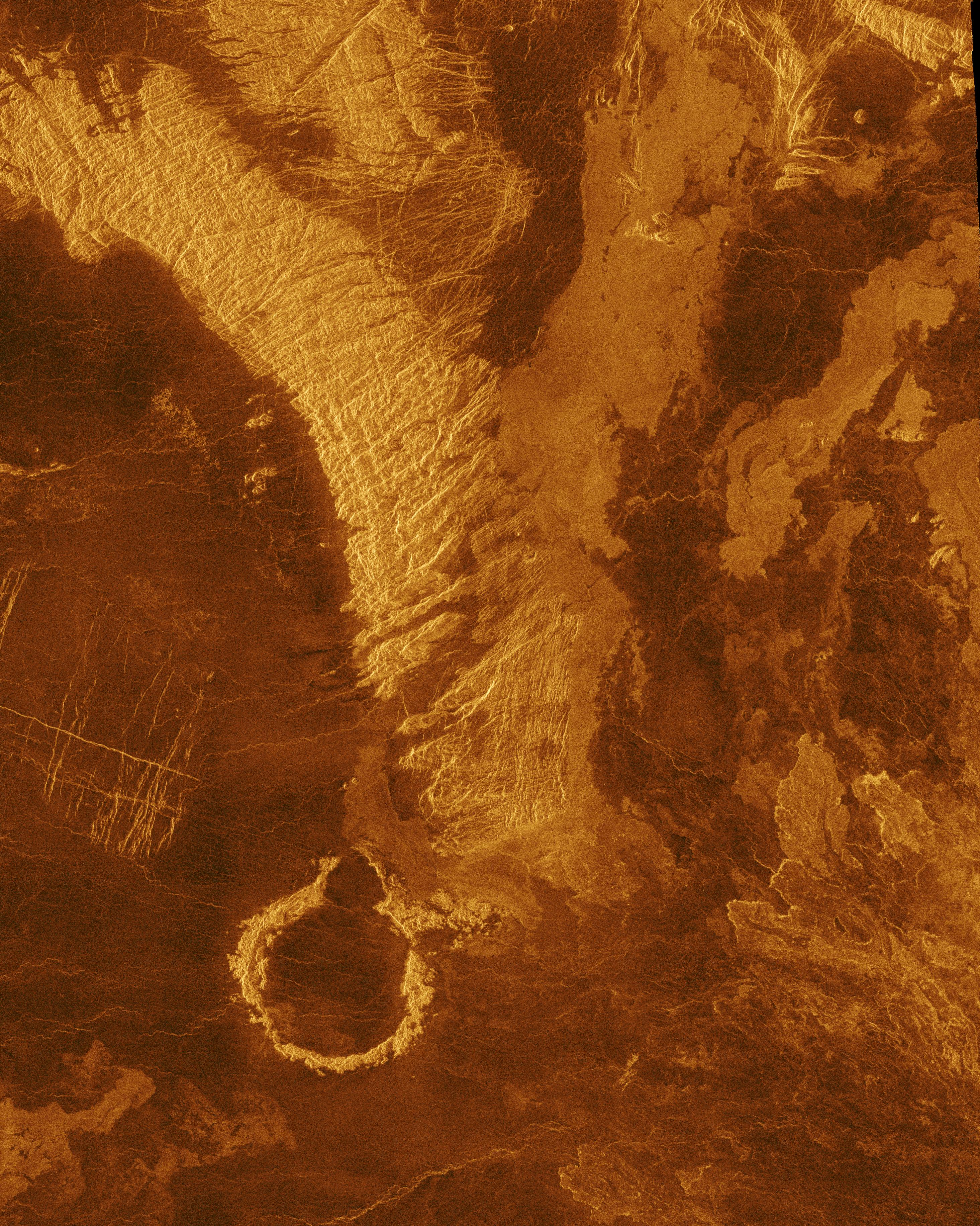
Venus - Complex Lava Flows at Sif Mons
Full Resolution:
TIFF
(2.88 MB)
JPEG
(1.538 MB)
|
|
|
1996-10-23 |
Venus
|
Magellan
|
Imaging Radar
|
1737x818x1 |
|
-
PIA00469:
-
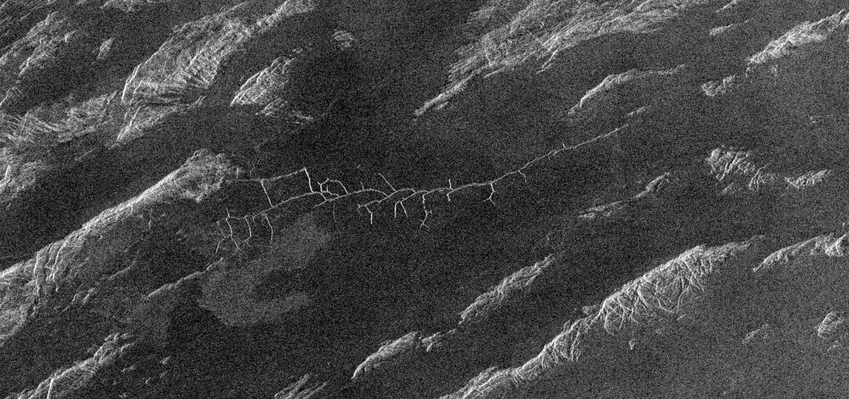
Venus - Complex Network of Narrow Fractures Near Hestia Rupes Region
Full Resolution:
TIFF
(1.342 MB)
JPEG
(475.7 kB)
|
|
|
1996-10-23 |
Venus
|
Magellan
|
Imaging Radar
|
1024x1024x1 |
|
-
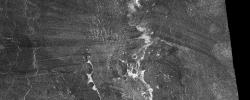
PIA00470:
-
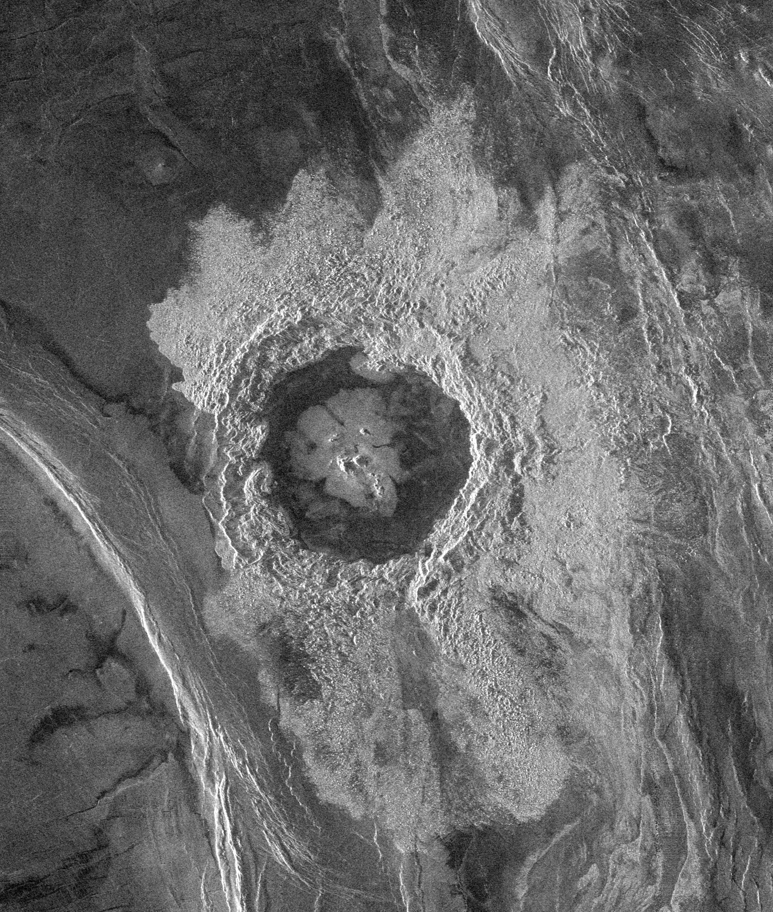
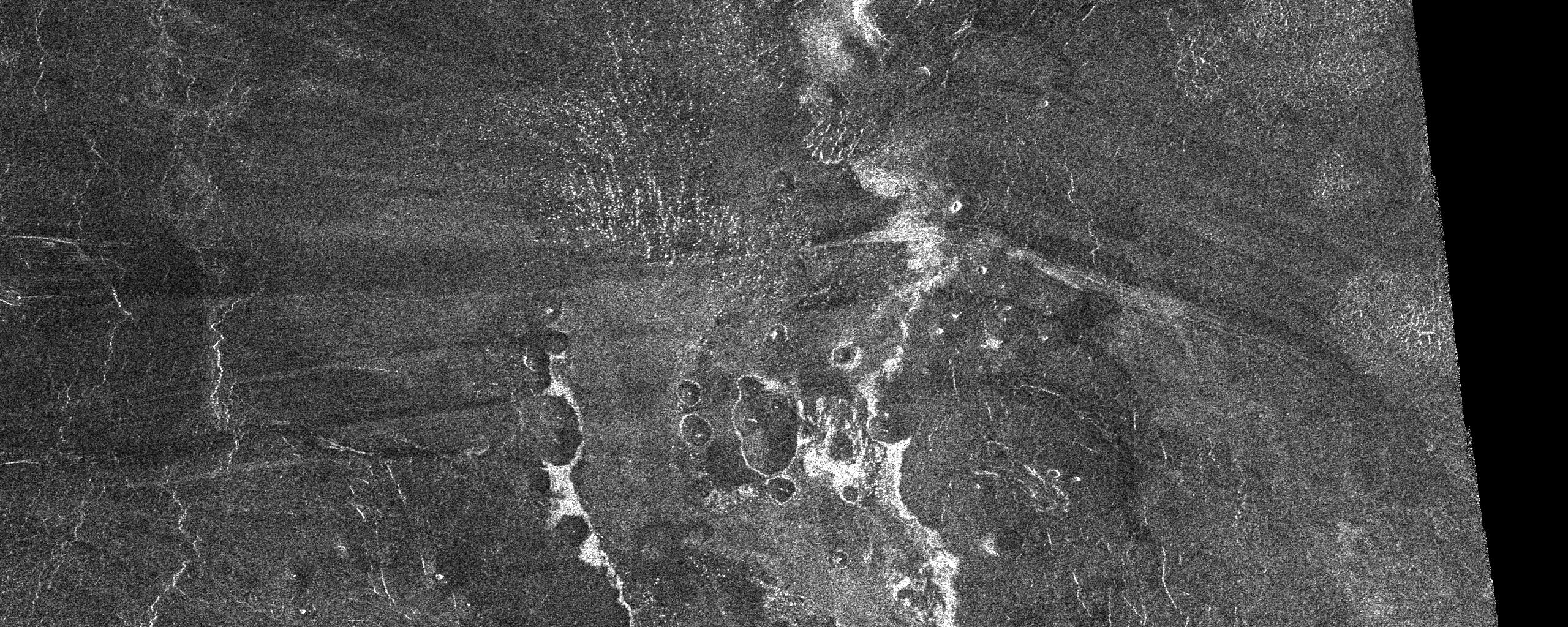
Venus - Complex Crater 'Buck' in Navka Region
Full Resolution:
TIFF
(826.2 kB)
JPEG
(346.5 kB)
|
|
|
1996-10-23 |
Venus
|
Magellan
|
Imaging Radar
|
730x1024x1 |
|
-
PIA00468:
-
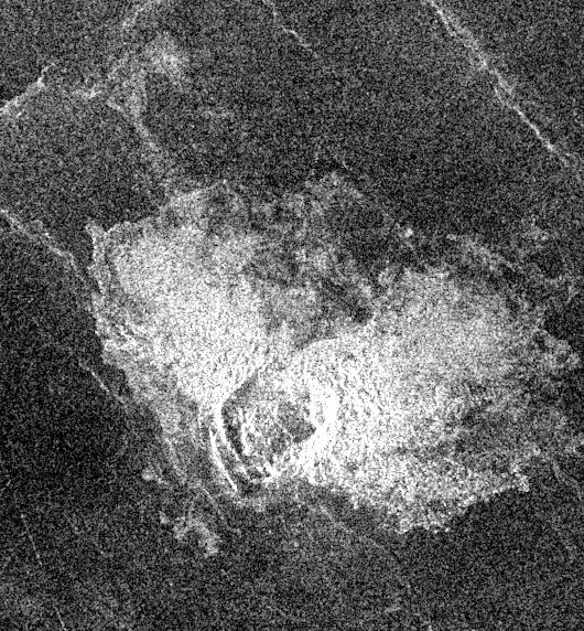
Venus - 'Transitional' Crater
Full Resolution:
TIFF
(519.5 kB)
JPEG
(248.4 kB)
|
|
|
1996-10-23 |
Venus
|
Magellan
|
Imaging Radar
|
480x1022x1 |
|
-
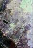
PIA00467:
-
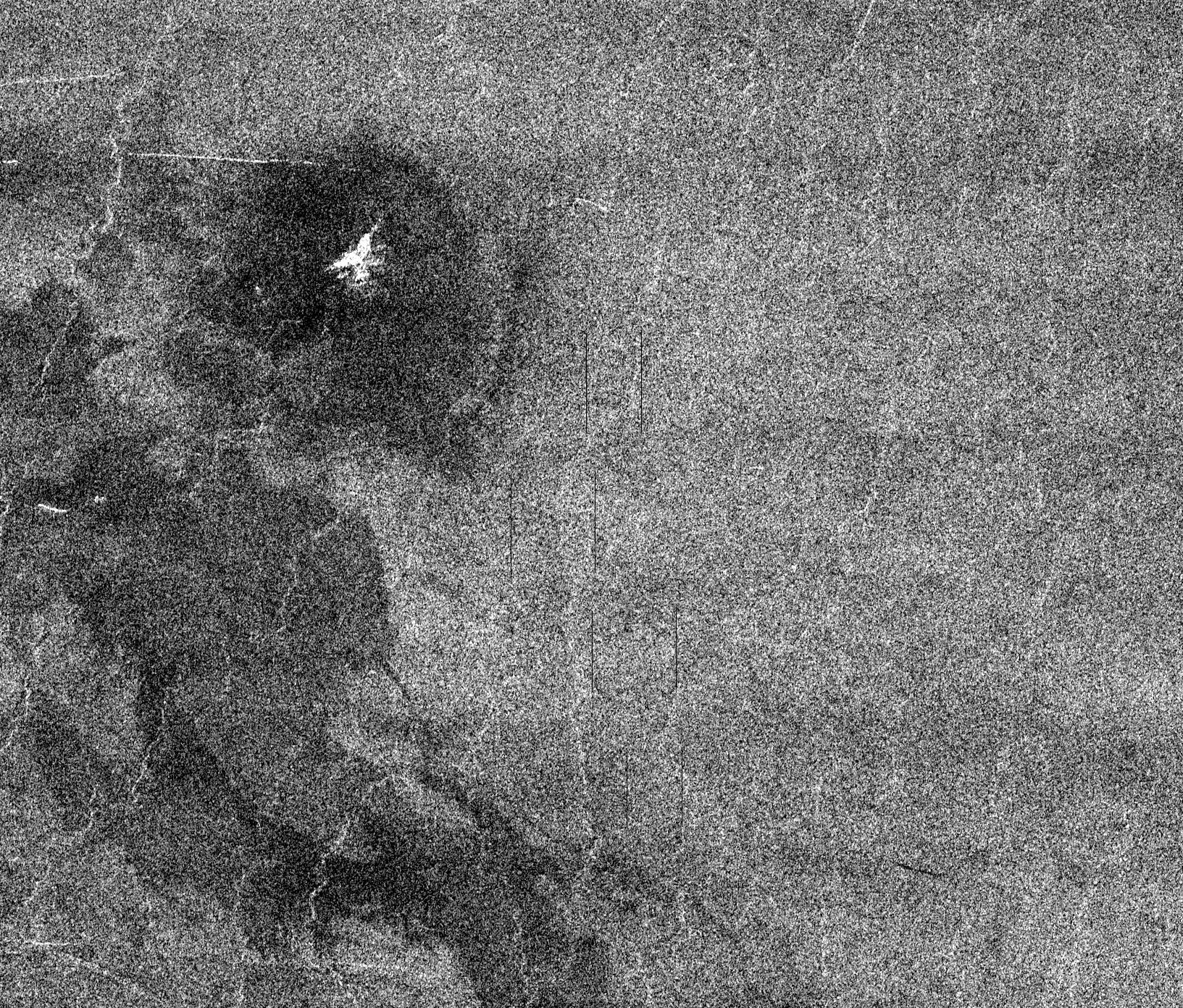
Venus - Lavinia Region
Full Resolution:
TIFF
(304.7 kB)
JPEG
(113.7 kB)
|
|
|
1996-09-30 |
Venus
|
Magellan
|
Imaging Radar
|
6519x6258x3 |
|
-
PIA00256:
-
Venus - Simple Cylindrical Map of Surface (Eastern Half)
Full Resolution:
TIFF
(24.03 MB)
JPEG
(4.955 MB)
|
|
|
1996-09-30 |
Venus
|
Magellan
|
Imaging Radar
|
6519x6258x3 |
|
-
PIA00255:
-
Venus - Simple Cylindrical Map of Surface (Western Half)
Full Resolution:
TIFF
(21.83 MB)
JPEG
(4.354 MB)
|
|
|
1996-09-26 |
Venus
|
Magellan
|
Imaging Radar
|
390x600x1 |
|
-
PIA00466:
-
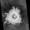
Venus - Large Impact Crater in the Eistla Region
Full Resolution:
TIFF
(224.1 kB)
JPEG
(76.46 kB)
|
|
|
1996-09-26 |
Venus
|
Magellan
|
Imaging Radar
|
3640x2213x1 |
|
-
PIA00465:
-
Venus - Comparison of Venera and Magellan Resolutions
Full Resolution:
TIFF
(5.626 MB)
JPEG
(1.445 MB)
|
|
|
1996-09-26 |
Venus
|
Magellan
|
Imaging Radar
|
8180x7150x1 |
|
-
PIA00464:
-
Venus - Magellan Data Superimposed on Pioneer Venus Data - Devana Chasma and Phoebe Regio
Full Resolution:
TIFF
(10.45 MB)
JPEG
(2.287 MB)
|
|
|
1996-09-26 |
Venus
|
Magellan
|
Imaging Radar
|
1620x1620x1 |
|
-
PIA00463:
-
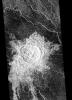
Venus - Barton Crater
Full Resolution:
TIFF
(2.543 MB)
JPEG
(797.4 kB)
|
|
|
1996-09-26 |
Venus
|
Magellan
|
Imaging Radar
|
1024x1024x1 |
|
-
PIA00462:
-
Venus - Multiple-Floored, Irregular Impact Crater
Full Resolution:
TIFF
(577.5 kB)
JPEG
(195.2 kB)
|
|
|
1996-09-26 |
Venus
|
Magellan
|
Imaging Radar
|
6940x5940x1 |
|
-
PIA00461:
-
Venus - Mosaic of Bahet and Onatah Coronae
Full Resolution:
TIFF
(35.51 MB)
JPEG
(15.1 MB)
|
|
|
1996-09-26 |
Venus
|
Magellan
|
Imaging Radar
|
8192x7168x1 |
|
-
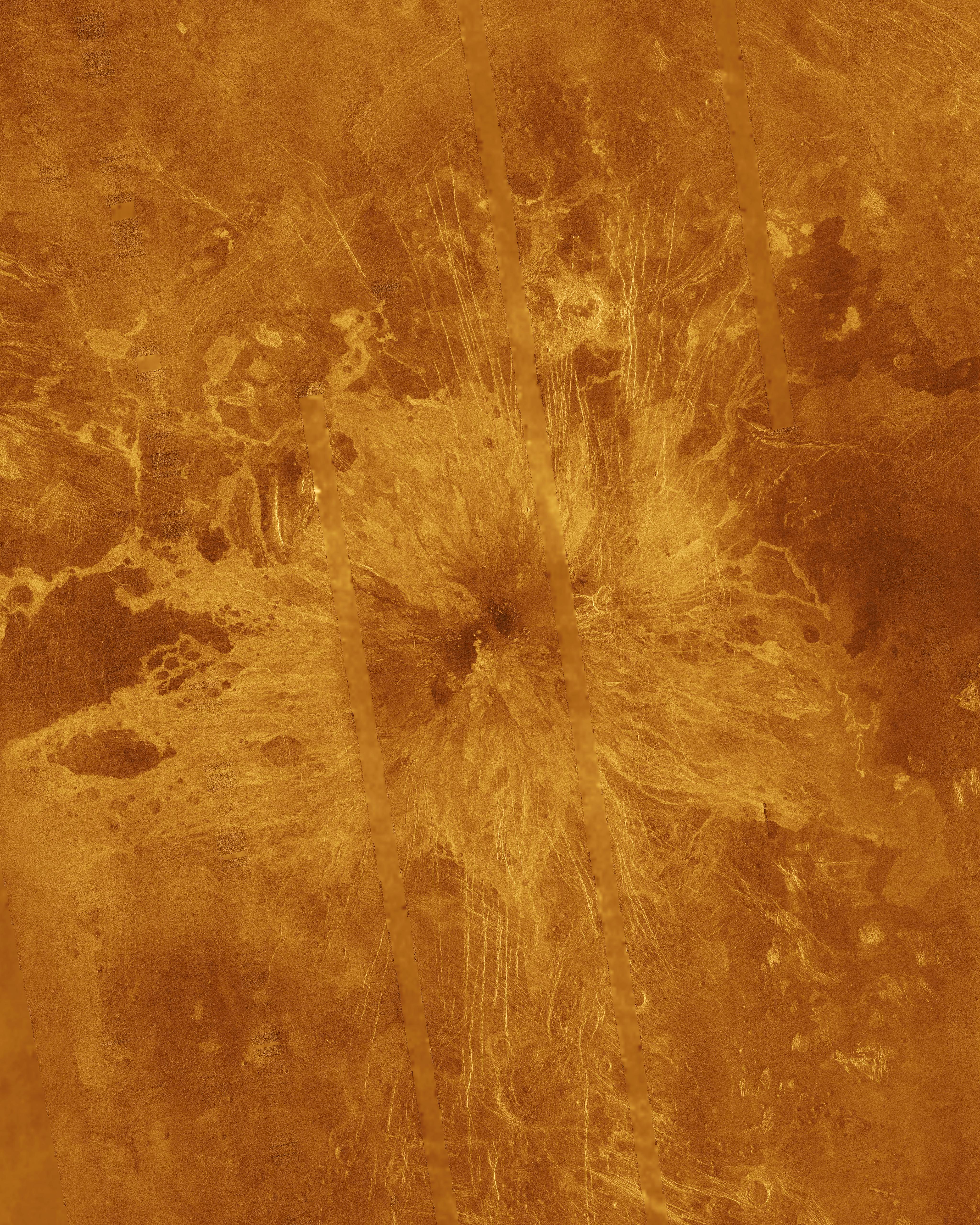
PIA00460:
-
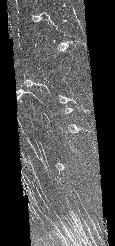
Venus - Venera 8 Landing Site in Navka Region
Full Resolution:
TIFF
(45.16 MB)
JPEG
(17.72 MB)
|
|
|
1996-09-23 |
Venus
|
Magellan
|
Imaging Radar
|
4096x4096x3 |
|
-
PIA00270:
-
Venus - Computer Simulated Global View Centered at 90 Degrees East Longitude
Full Resolution:
TIFF
(7.793 MB)
JPEG
(1.615 MB)
|
|
|
1996-09-23 |
Venus
|
Magellan
|
Imaging Radar
|
1700x2500x1 |
|
-
PIA00253:
-
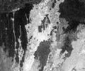
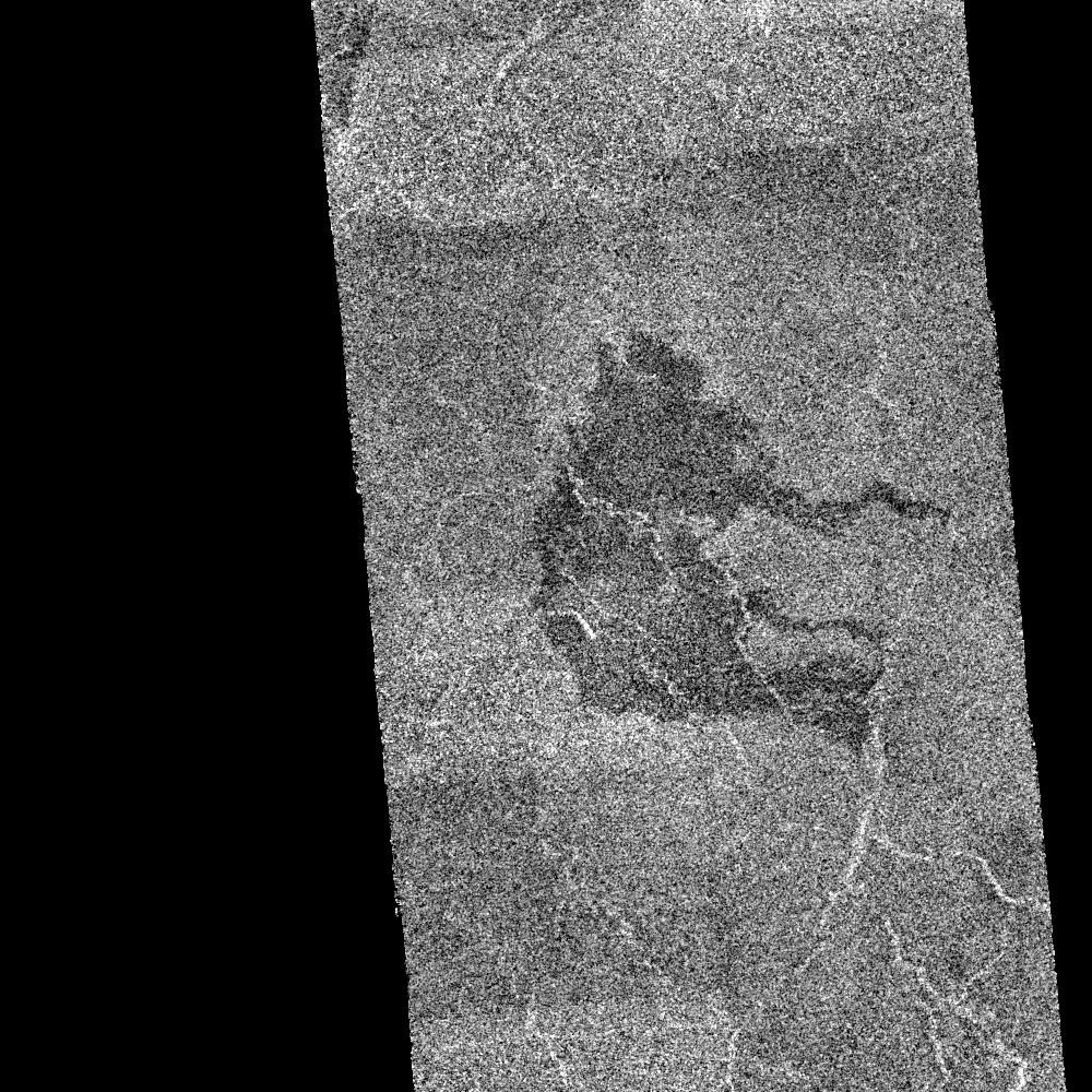
Venus - Sinuous Channel
Full Resolution:
TIFF
(3.499 MB)
JPEG
(1.11 MB)
|
|
|
1996-09-20 |
Venus
|
Magellan
|
Imaging Radar
|
3072x2048x1 |
|
-
PIA00218:
-
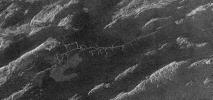
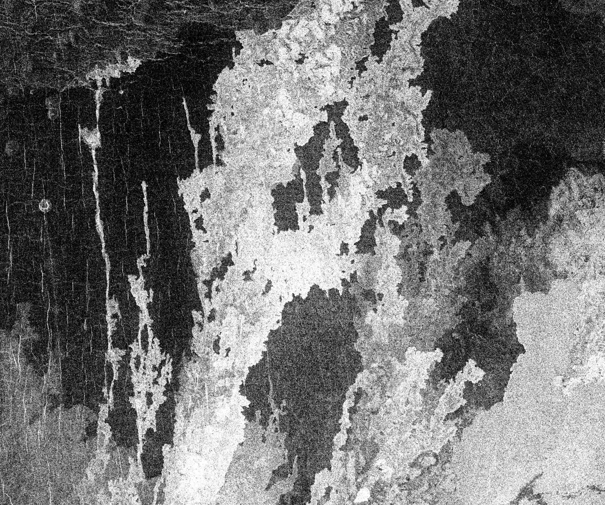
Venus - Interior of Ovda Regio
Full Resolution:
TIFF
(6.544 MB)
JPEG
(1.953 MB)
|
|
|
1996-09-13 |
Venus
|
Magellan
|
Imaging Radar
|
8192x7168x1 |
|
-
PIA00086:
-
Mosaic of Large Impact Craters
Full Resolution:
TIFF
(41.86 MB)
JPEG
(12.35 MB)
|
|
|
1996-08-16 |
Venus
|
Magellan
|
Imaging Radar
|
5000x4000x3 |
|
-
PIA00200:
-
Venus - False Color Perspective of Sif and Gula Mons
Full Resolution:
TIFF
(6.993 MB)
JPEG
(1.282 MB)
|
|
|
1996-08-13 |
Venus
|
Magellan
|
Imaging Radar
|
13650x9556x1 |
|
-
PIA00146:
-
Venus - Ovda Regio
Full Resolution:
TIFF
(32.32 MB)
JPEG
(5.985 MB)
|
|
|
1996-08-13 |
Venus
|
Magellan
|
Imaging Radar
|
5120x5120x1 |
|
-
PIA00101:
-
Artemis Corona (C2-MIDR)
Full Resolution:
TIFF
(21.06 MB)
JPEG
(5.318 MB)
|
|
|
1996-08-01 |
Venus
|
Magellan
|
Imaging Radar
|
4000x3000x3 |
|
-
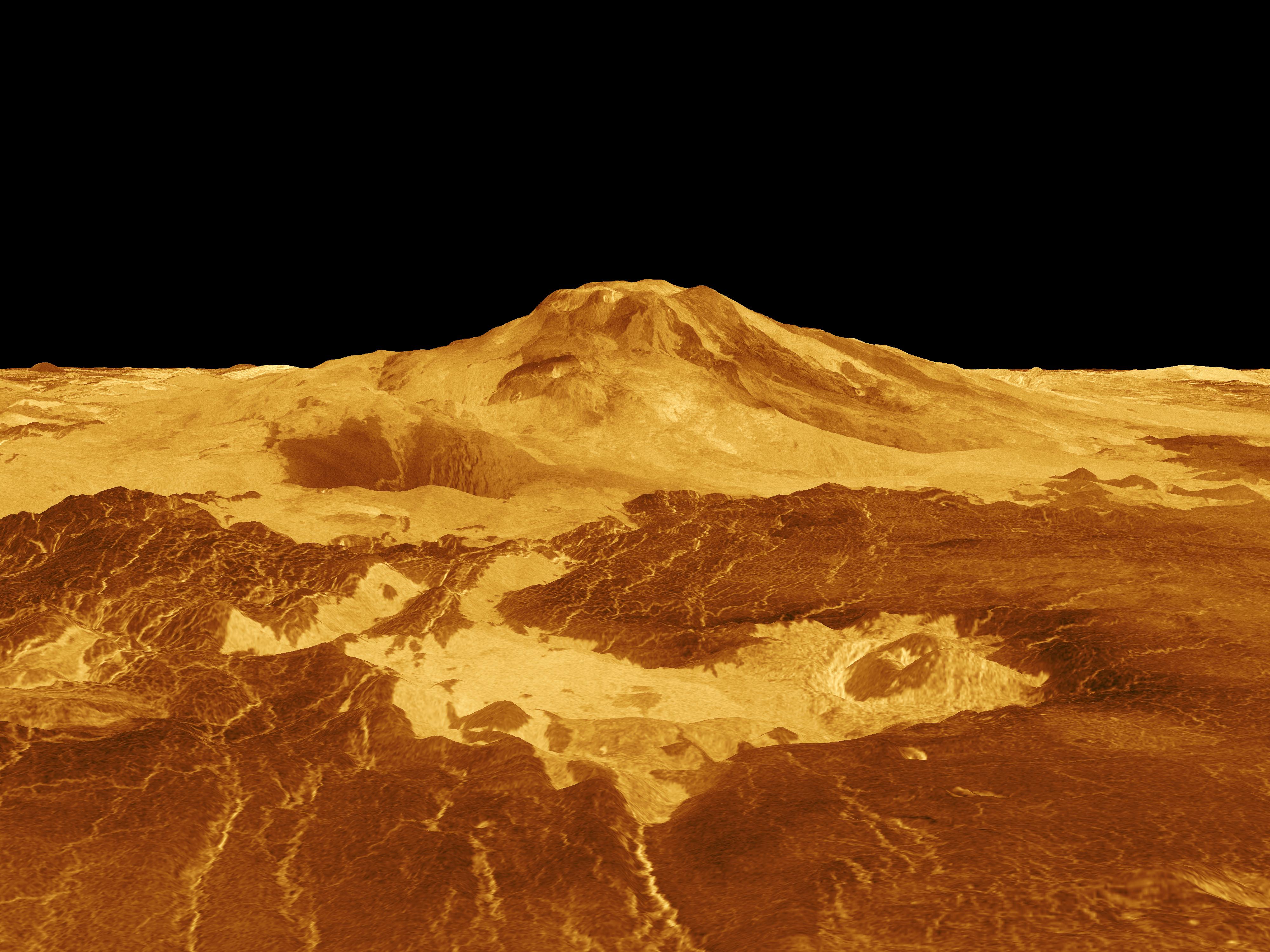
PIA00106:
-
Venus - 3-D Perspective View of Maat Mons
Full Resolution:
TIFF
(4.791 MB)
JPEG
(1.141 MB)
|
|
|
1996-07-19 |
Venus
|
Magellan
|
Imaging Radar
|
4096x5120x3 |
|
-
PIA00272:
-
Venus - Simulated Color of Ushas Mons
Full Resolution:
TIFF
(18.64 MB)
JPEG
(5.424 MB)
|
|
|
1996-07-18 |
Venus
|
Magellan
|
Imaging Radar
|
4096x4096x3 |
|
-
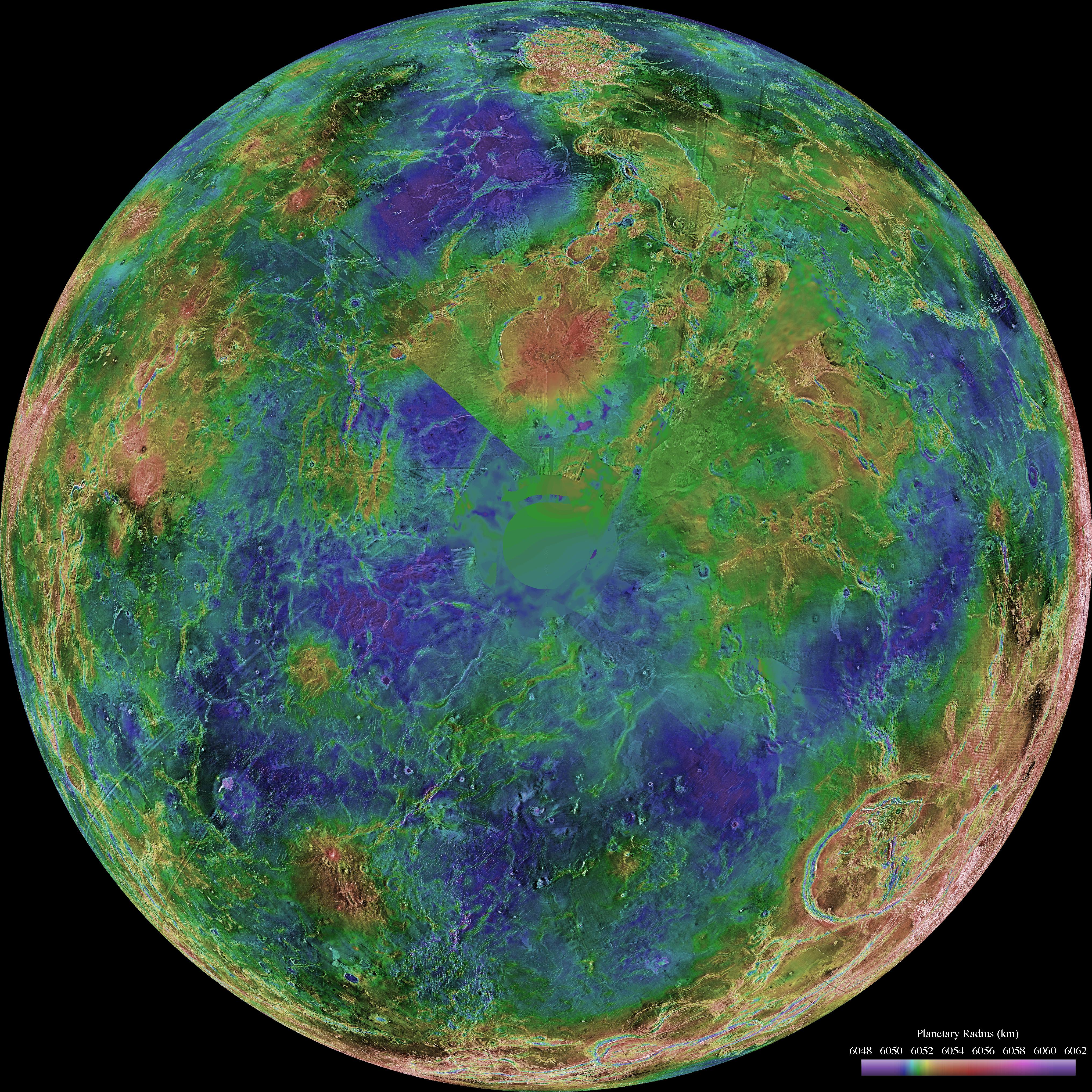
PIA00271:
-
Venus - Computer Simulated Global View of the Northern Hemisphere
Full Resolution:
TIFF
(8.283 MB)
JPEG
(1.764 MB)
|
|
|
1996-06-03 |
Venus
|
Magellan
|
Imaging Radar
|
4064x4064x3 |
|
-
PIA00008:
-
Hemispheric View of Venus Centered at the South Pole
Full Resolution:
TIFF
(37.66 MB)
JPEG
(3.971 MB)
|
|
|
1996-06-03 |
Venus
|
Magellan
|
Imaging Radar
|
4064x4064x3 |
|
-
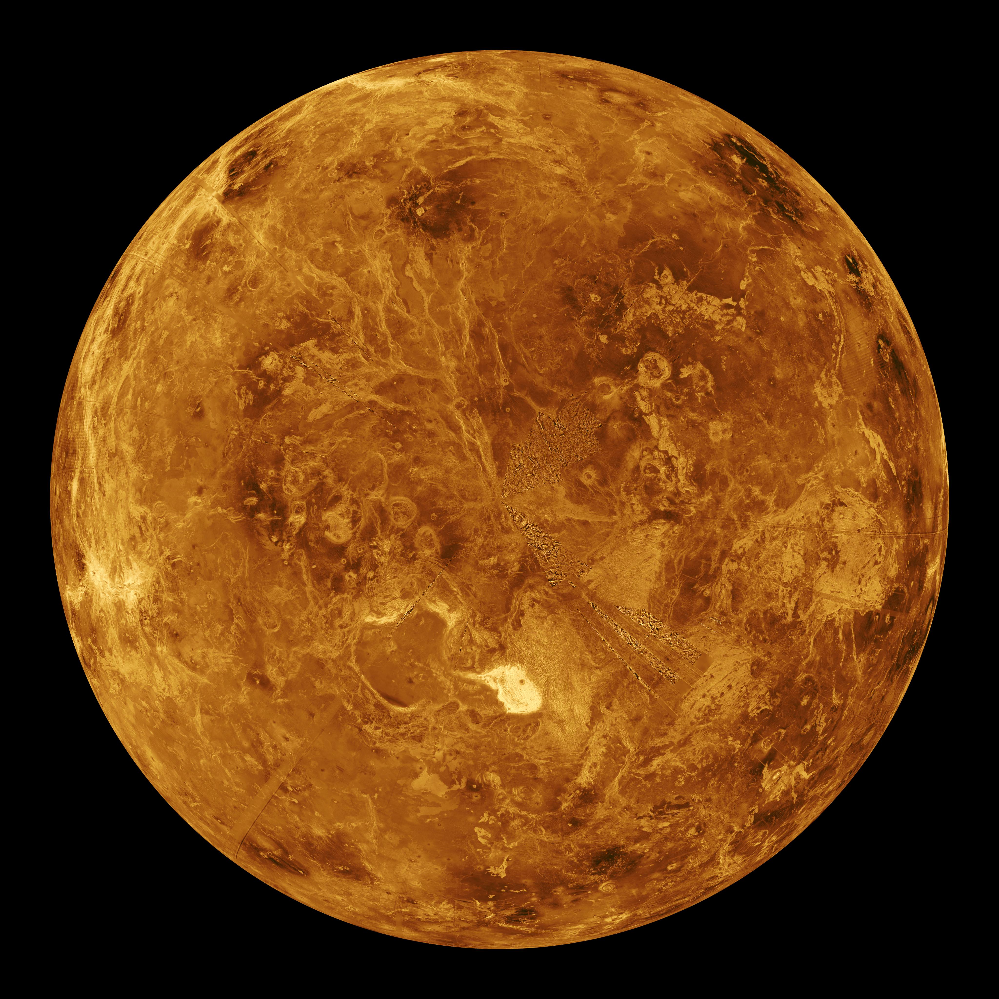
PIA00007:
-
Hemispheric View of Venus Centered at the North Pole
Full Resolution:
TIFF
(41.83 MB)
JPEG
(4.592 MB)
|
|
|
1996-03-14 |
Venus
|
Magellan
|
Imaging Radar
|
1860x2048x1 |
|
-
PIA00269:
-
Venus - Stereo Image Pair of Crater Goeppert-Mayer
Full Resolution:
TIFF
(3.228 MB)
JPEG
(811.6 kB)
|
|
|
1996-03-14 |
Venus
|
Magellan
|
Imaging Radar
|
4000x3000x3 |
|
-
PIA00268:
-
Venus - 3-D Perspective View of Latona Corona and Dali Chasma
Full Resolution:
TIFF
(7.17 MB)
JPEG
(1.692 MB)
|
|
|
1996-03-14 |
Venus
|
Magellan
|
Imaging Radar
|
6416x5800x1 |
|
-
PIA00267:
-
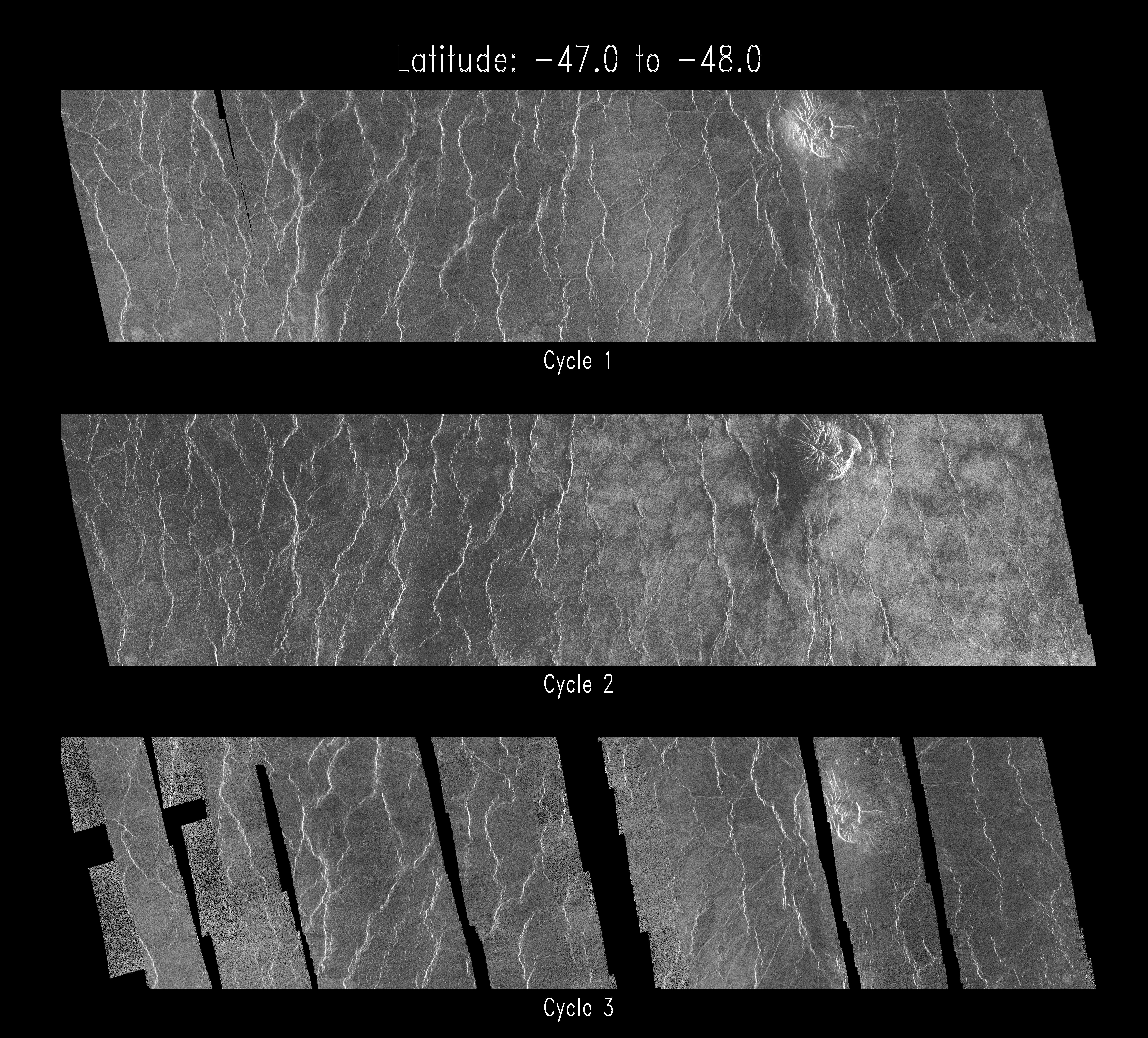
Venus - Cycle 1, 2, and 3 Images of Imdr Region
Full Resolution:
TIFF
(18.82 MB)
JPEG
(6.044 MB)
|
|
|
1996-03-14 |
Venus
|
Magellan
|
Imaging Radar
|
1600x1200x3 |

|
-
PIA00266:
-
Venus - Oblique View of Crater Riley
Full Resolution:
TIFF
(862.1 kB)
JPEG
(214.2 kB)
|
|
|
1996-03-14 |
Venus
|
Magellan
|
Imaging Radar
|
3306x2114x3 |

|
-
PIA00265:
-
Venus - False Color of Volcanic Plains
Full Resolution:
TIFF
(5.705 MB)
JPEG
(1.635 MB)
|
|
|
1996-03-14 |
Venus
|
Magellan
|
Imaging Radar
|
1896x1944x1 |
|
-
PIA00264:
-
Venus - Volcano With Massive Landslides
Full Resolution:
TIFF
(3.237 MB)
JPEG
(964.2 kB)
|
|
|
1996-03-14 |
Venus
|
Magellan
|
Imaging Radar
|
1812x1716x1 |
|
-
PIA00263:
-
Venus - Landslide Deposits
Full Resolution:
TIFF
(2.555 MB)
JPEG
(747.4 kB)
|
|
|
1996-03-14 |
Venus
|
Magellan
|
Imaging Radar
|
1452x1314x1 |
|
-
PIA00262:
-
Venus - Landslide in Navka Region
Full Resolution:
TIFF
(1.638 MB)
JPEG
(587.3 kB)
|
|
|
1996-03-14 |
Venus
|
Magellan
|
Imaging Radar
|
2600x2400x1 |
|
-
PIA00261:
-
Venus - Volcanos in Guinevere Planitia
Full Resolution:
TIFF
(5.305 MB)
JPEG
(2.441 MB)
|
|
|
1996-03-14 |
Venus
|
Magellan
|
Imaging Radar
|
2558x4190x1 |
|
-
PIA00260:
-
Venus - Comparison of Left and Right Looking Views of Imdr Region
Full Resolution:
TIFF
(8.021 MB)
JPEG
(2.766 MB)
|
|
|
1996-03-14 |
Venus
|
Magellan
|
Imaging Radar
|
3520x4400x3 |
|
-
PIA00259:
-
Venus - False Color of Bereghinya Planitia
Full Resolution:
TIFF
(15.43 MB)
JPEG
(4.199 MB)
|
 Planetary Data System


