Your search criteria found
1671
images
Target is Mars (and available satellites)
Go to PIAxxxxx:
Refine this list of images by:
Target:
Deimos
Mars
Phobos
Spacecraft:
Curiosity
Mars Reconnaissance Orbiter (MRO)
Mars Science Laboratory (MSL)
Opportunity
Phoenix Lander
Instrument:
Compact Reconnaissance Imaging Spectrometer for Mars (CRISM)
Context Camera (CTX)
High Resolution Imaging Science Experiment (HiRISE)
Mars Climate Sounder (MCS)
Mars Color Imager (MARCI)
Mars Orbiter Laser Altimeter
Optical Navigation Camera
Shallow Subsurface Radar (SHARAD)
Click on an image for detailed information
Click on a column heading to sort in ascending or descending order
My
List
Addition Date
Target
Mission
Instrument
Size
2014-12-10
Mars
Mars Reconnaissance Orbiter (MRO)
HiRISE
2880x1800x3
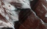
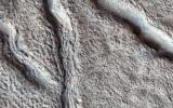
PIA19119:
Inverted Ridges in the Eridania Basin
Full Resolution:
TIFF
(15.56 MB)
JPEG
(923.3 kB)
2014-12-12
Mars
Mars Reconnaissance Orbiter (MRO)
HiRISE
1477x1384x3
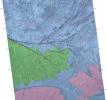
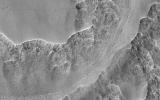
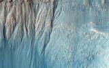
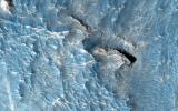
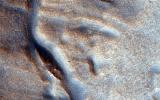
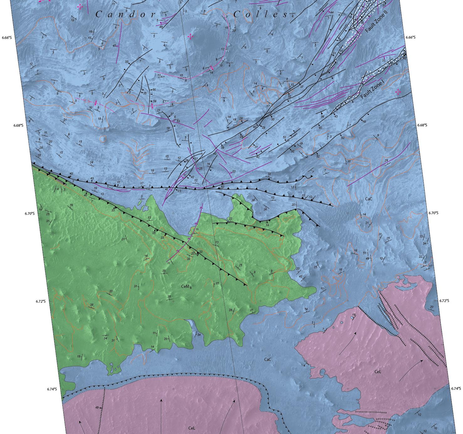
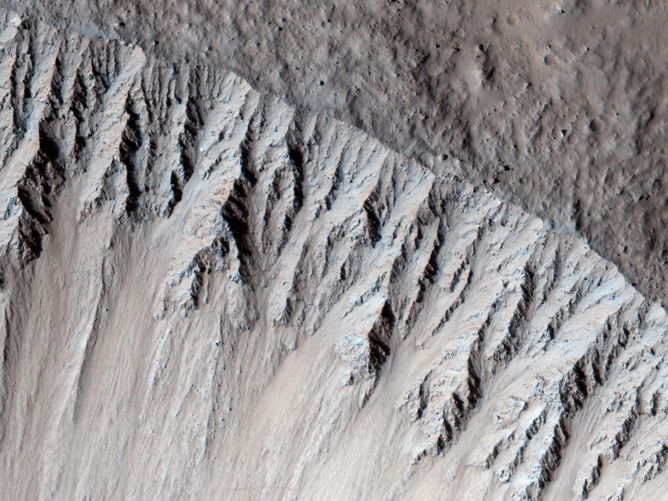
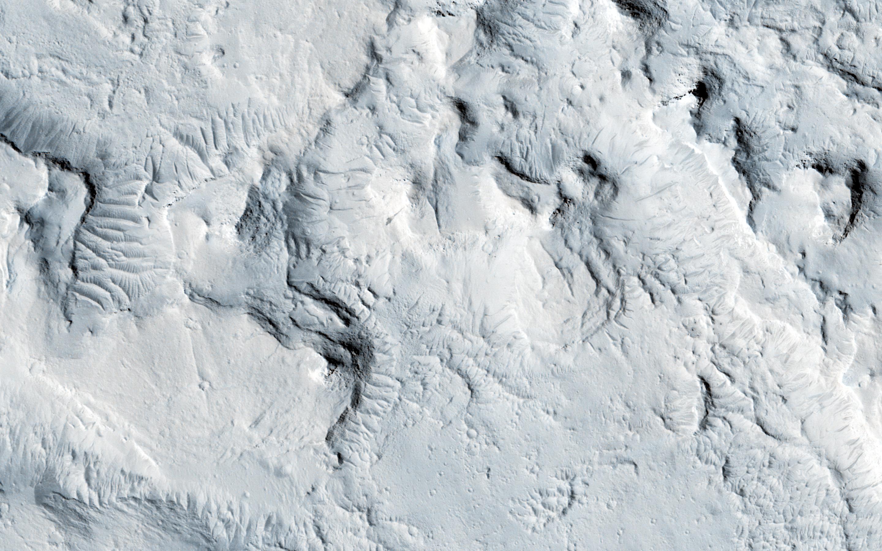
PIA19084:
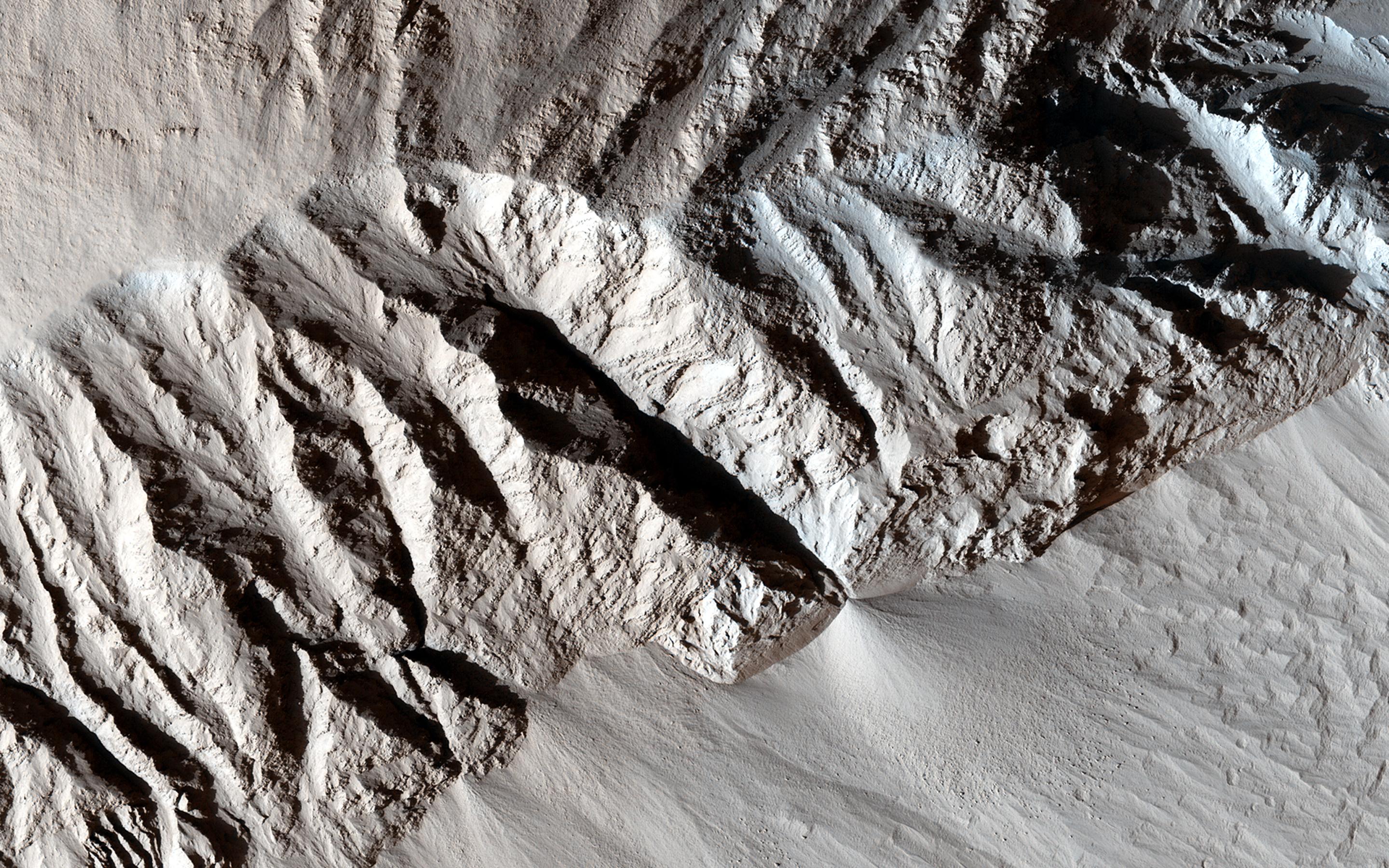
Geological Mapping of Hills in Martian Canyon
Full Resolution:
TIFF
(6.135 MB)
JPEG
(332.6 kB)
2014-12-12
Mars
Mars Reconnaissance Orbiter (MRO)
HiRISE
1619x1077x3
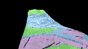
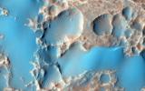
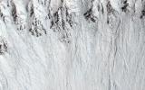
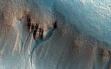
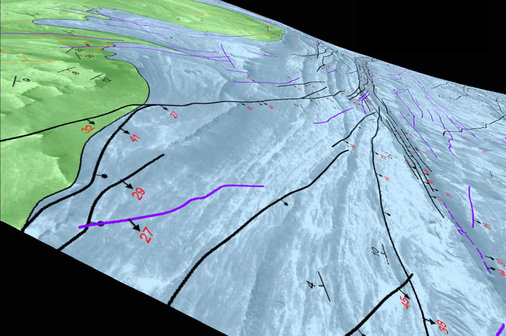
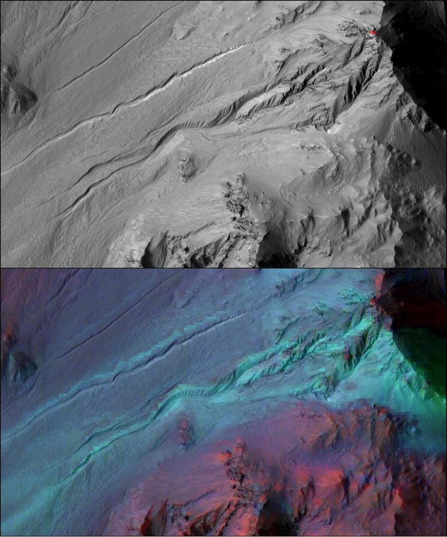
PIA19085:
Simulated Flyover of Mars Canyon Map (Animation)
Full Resolution:
TIFF
(5.233 MB)
JPEG
(208.9 kB)
2014-12-18
Mars
Mars Reconnaissance Orbiter (MRO)
HiRISE
2880x1800x3
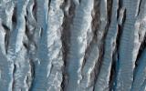
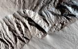
PIA19120:
Polar Layered Deposit Slopes
Full Resolution:
TIFF
(15.56 MB)
JPEG
(840.3 kB)
2014-12-18
Mars
Mars Reconnaissance Orbiter (MRO)
HiRISE
2880x1800x3
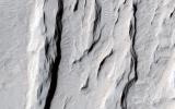
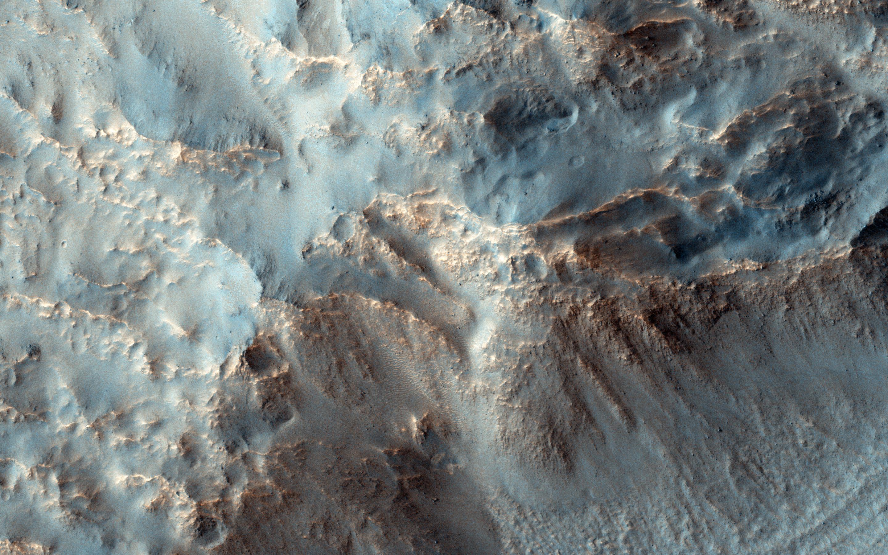
PIA19121:
Eroding Terrain in Arabia Terra
Full Resolution:
TIFF
(15.56 MB)
JPEG
(1.069 MB)
2014-12-18
Mars
Mars Reconnaissance Orbiter (MRO)
HiRISE
2880x1800x3
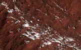
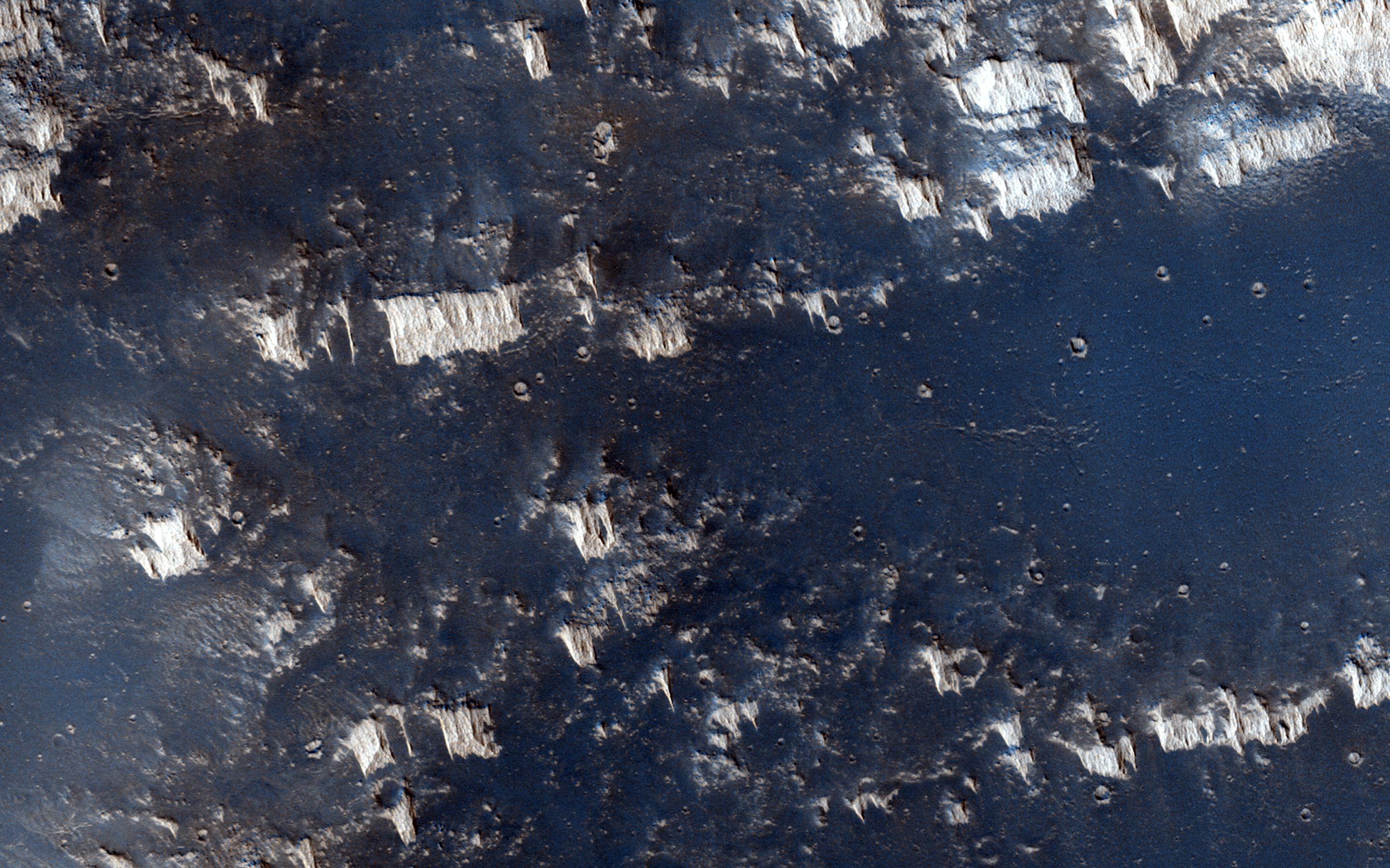
PIA19122:
Frosty Slopes in Late Spring
Full Resolution:
TIFF
(15.56 MB)
JPEG
(949.1 kB)
2014-12-18
Mars
Mars Reconnaissance Orbiter (MRO)
HiRISE
2880x1800x3
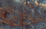
PIA19123:
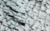
Possible Opaline Silica in the Central Uplift of Elorza Crater
Full Resolution:
TIFF
(15.56 MB)
JPEG
(562.2 kB)
2014-12-18
Mars
Mars Reconnaissance Orbiter (MRO)
HiRISE
2560x1920x3
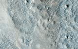
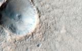
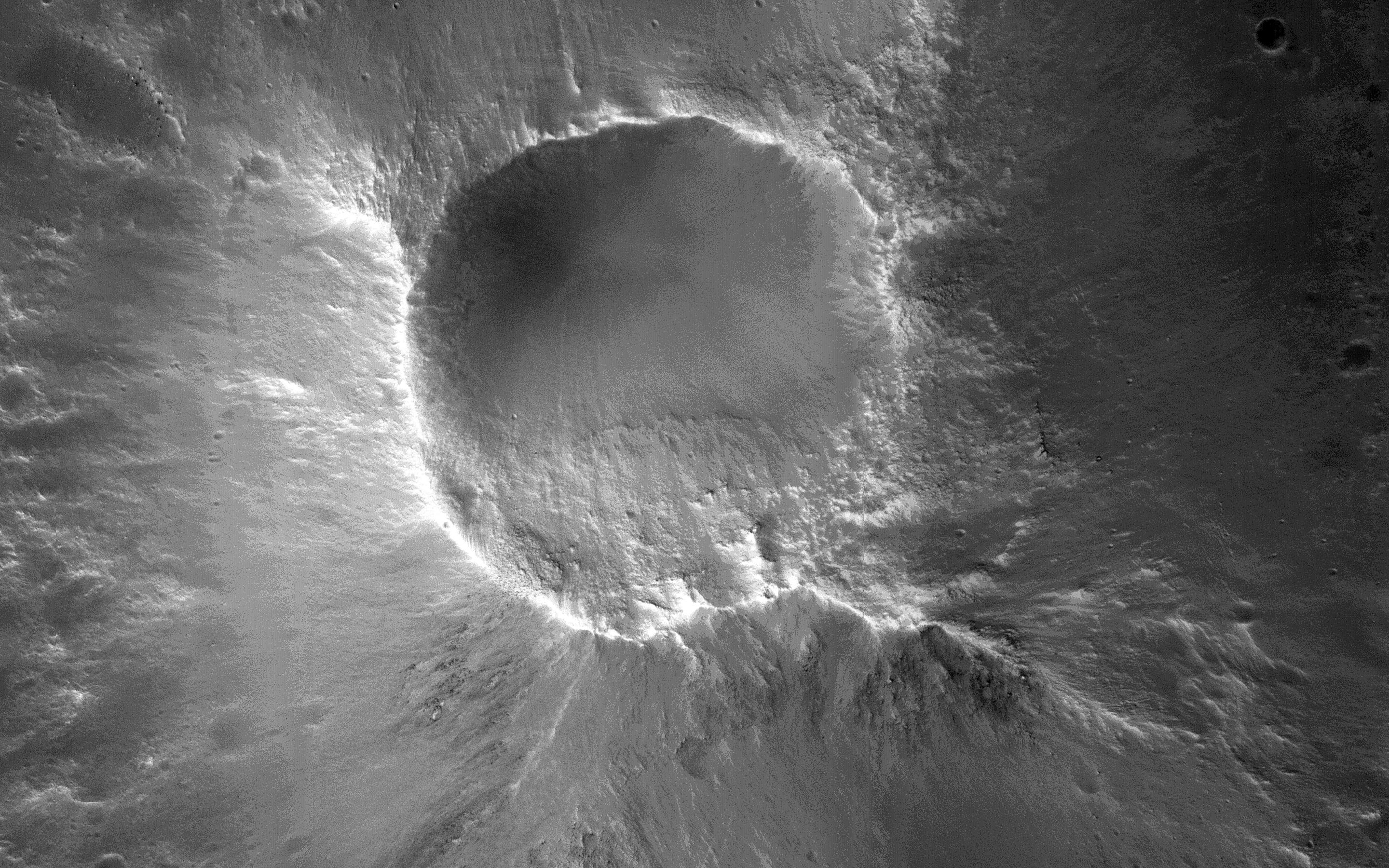
PIA19124:
A Fresh, Lunar-Like Crater on Mars
Full Resolution:
TIFF
(14.75 MB)
JPEG
(855.5 kB)
2015-01-07
Mars
Mars Reconnaissance Orbiter (MRO)
HiRISE
2880x1800x3
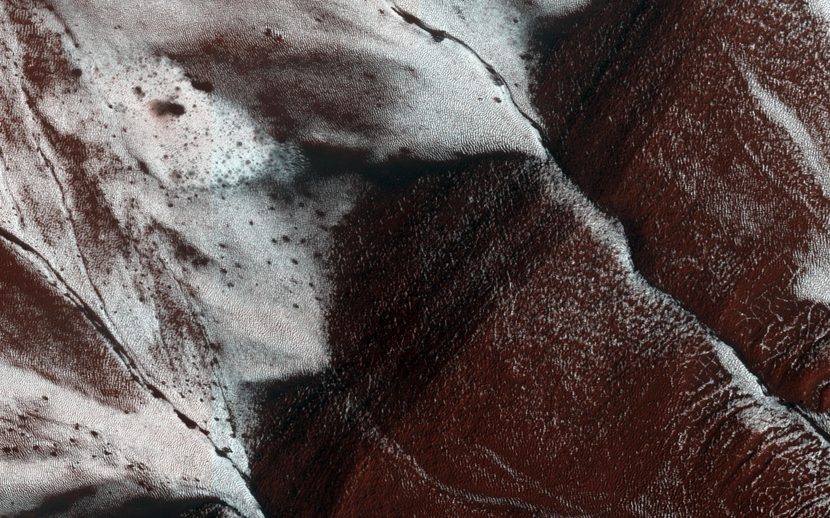
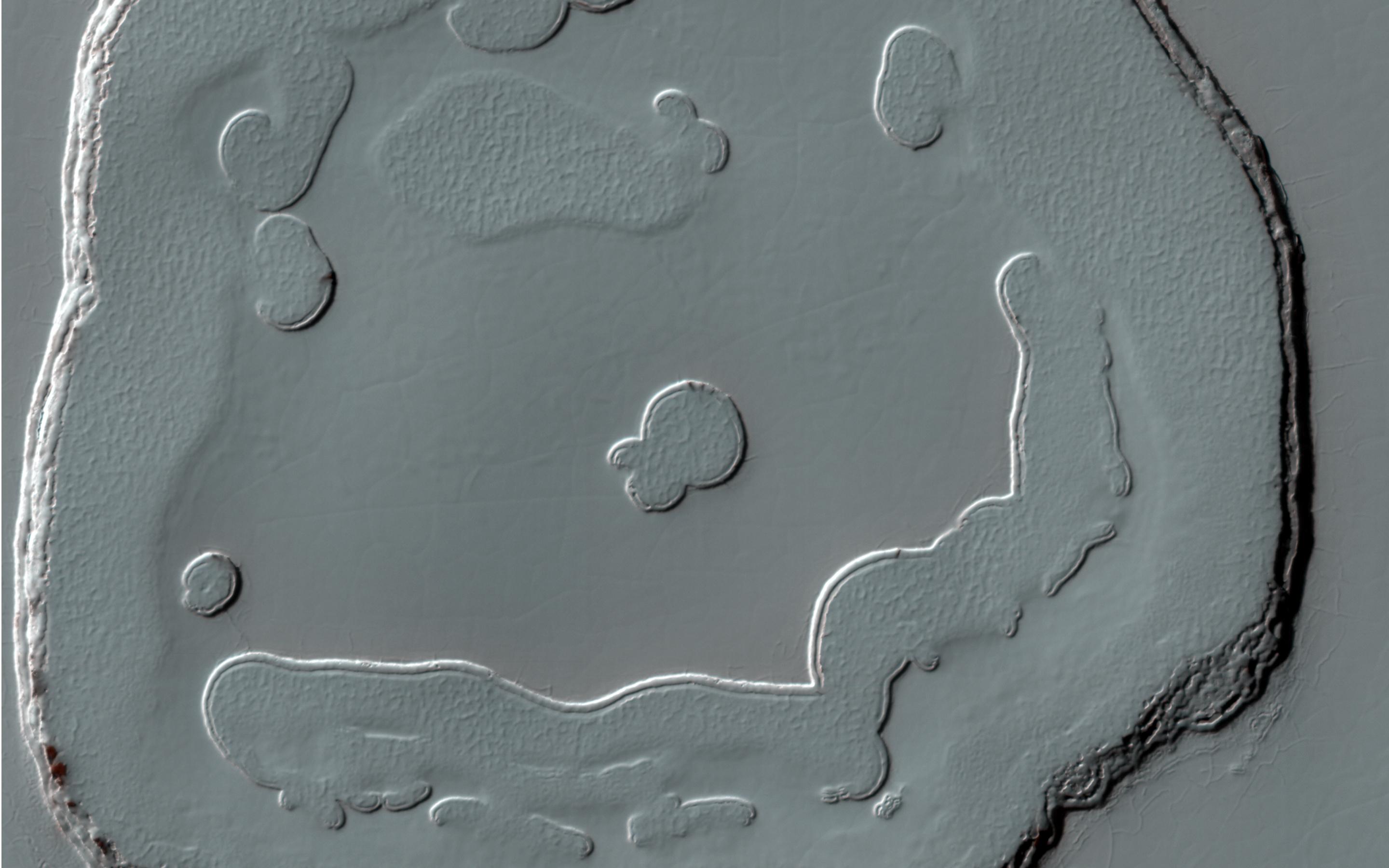
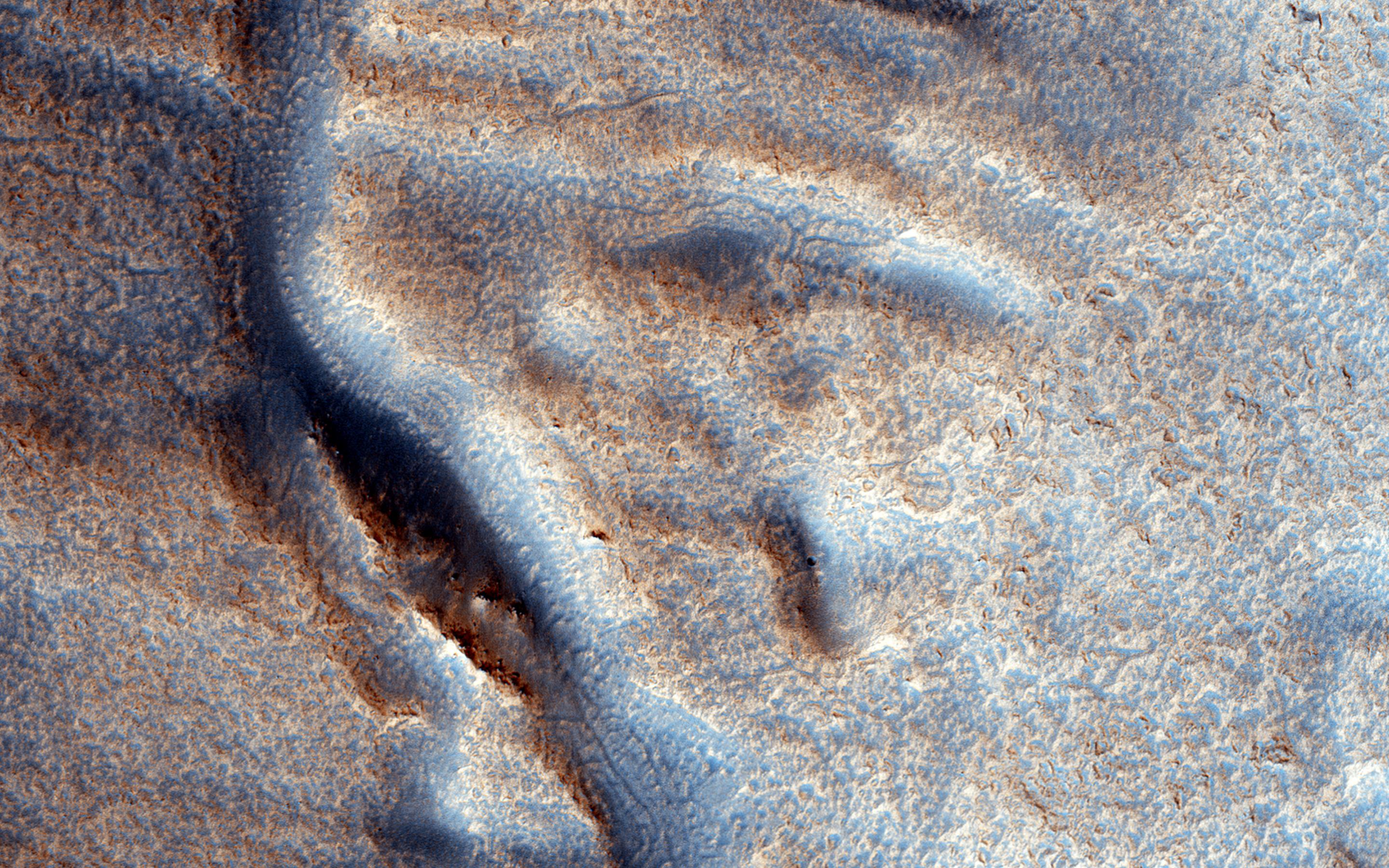
PIA19125:
A Polar Smile
Full Resolution:
TIFF
(15.56 MB)
JPEG
(300.4 kB)
2015-01-07
Mars
Mars Reconnaissance Orbiter (MRO)
HiRISE
2880x1800x3
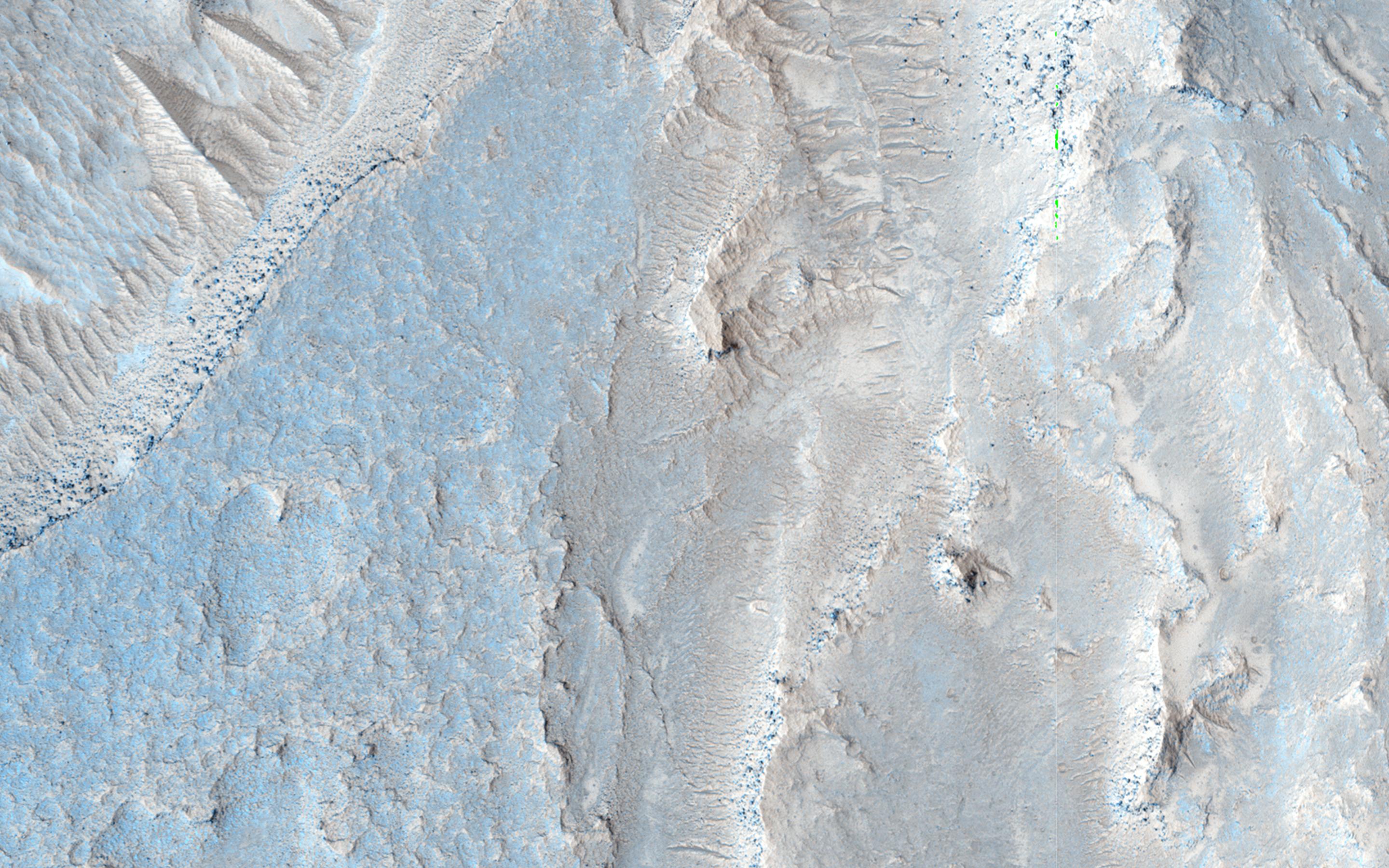
PIA19126:
Strange Flow: Landslide, Impact Melt or Lava?
Full Resolution:
TIFF
(15.56 MB)
JPEG
(794.7 kB)
2015-01-07
Mars
Mars Reconnaissance Orbiter (MRO)
HiRISE
2880x1800x3
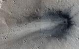
PIA19127:
A Recent Impact in Elysium Planitia
Full Resolution:
TIFF
(15.56 MB)
JPEG
(1.047 MB)
2015-01-07
Mars
Mars Reconnaissance Orbiter (MRO)
HiRISE
2880x1800x3
PIA19128:
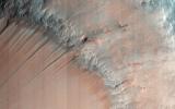
The Eastern Portion of Cerberus Fossae
Full Resolution:
TIFF
(15.56 MB)
JPEG
(537.6 kB)
2015-01-16
Mars
Mars Reconnaissance Orbiter (MRO)
HiRISE
1000x750x3
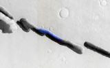
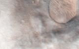
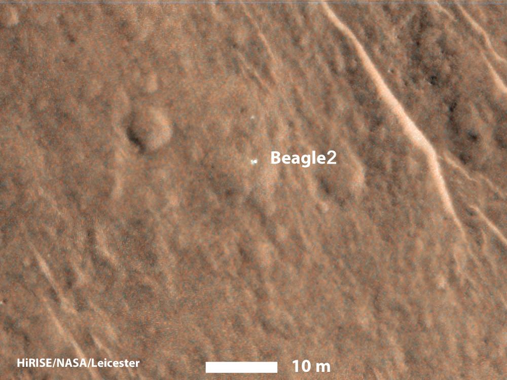
PIA19108:
Beagle 2 Lander Observed by Mars Reconnaissance Orbiter
Full Resolution:
TIFF
(2.251 MB)
JPEG
(103.7 kB)
2015-01-15
Mars
Mars Reconnaissance Orbiter (MRO)
HiRISE
2880x1800x3
PIA19129:
Sedimentary Fans North of Mojave Crater
Full Resolution:
TIFF
(15.56 MB)
JPEG
(839.9 kB)
2015-01-15
Mars
Mars Reconnaissance Orbiter (MRO)
HiRISE
2880x1800x3
PIA19130:
A Plateau in Ares Vallis
Full Resolution:
TIFF
(15.56 MB)
JPEG
(1.13 MB)
2015-01-15
Mars
Mars Reconnaissance Orbiter (MRO)
HiRISE
2880x1800x1
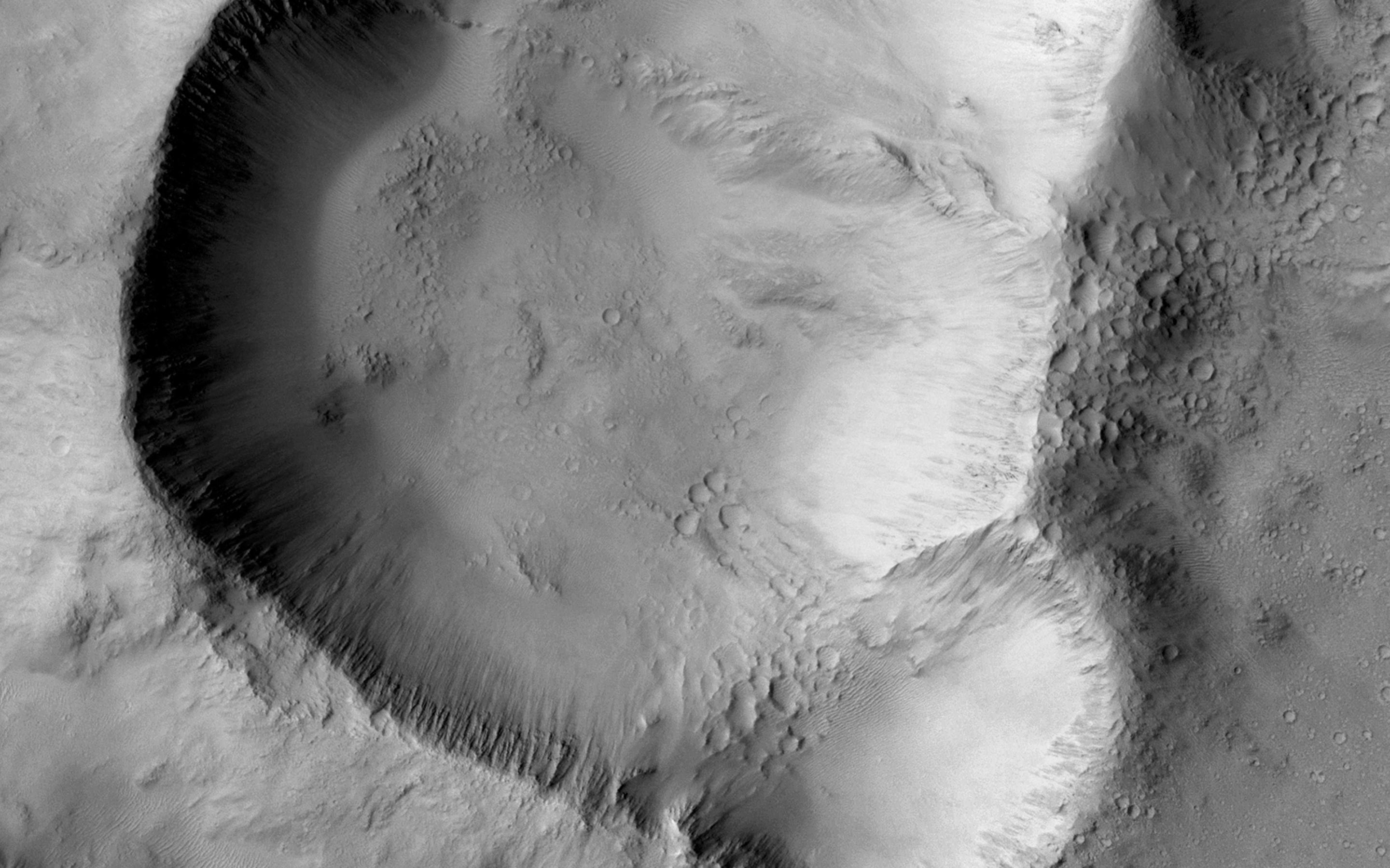
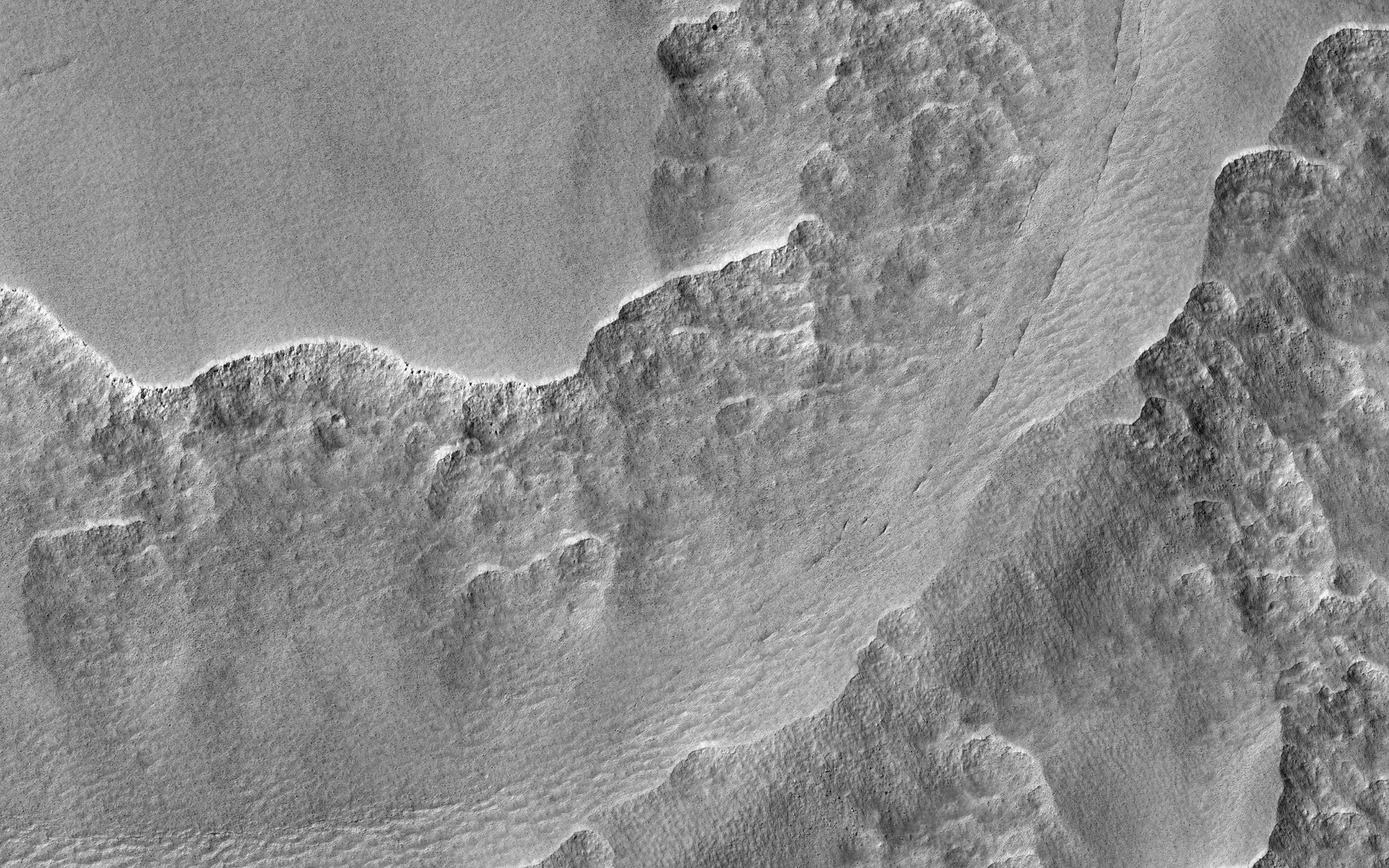
PIA19131:
Cratered Summit of a Knob
Full Resolution:
TIFF
(5.191 MB)
JPEG
(1.017 MB)
2015-01-16
Mars
Mars Reconnaissance Orbiter (MRO)
HiRISE
5844x4135x1
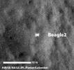
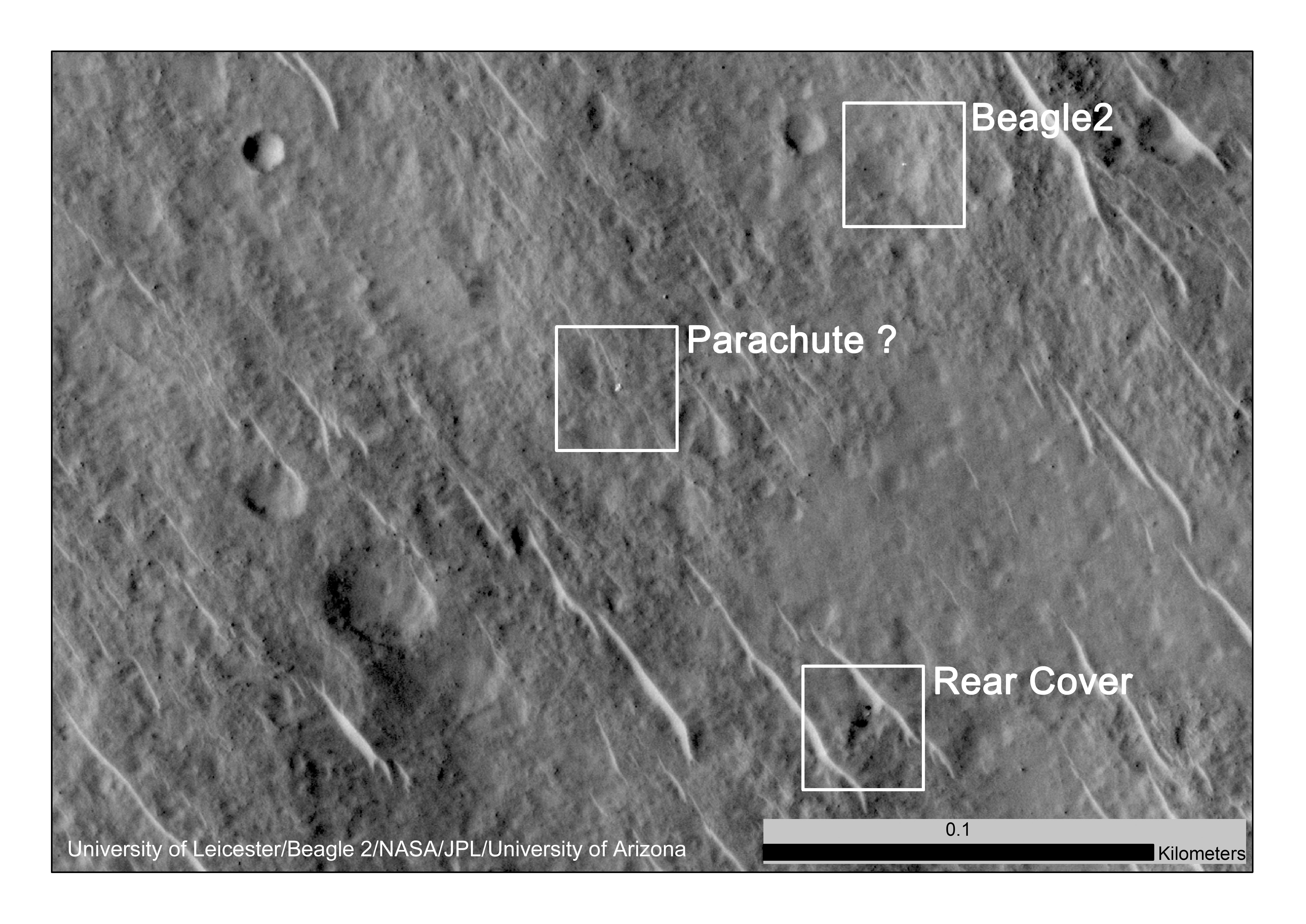
PIA19106:
Components of Beagle 2 Flight System on Mars
Full Resolution:
TIFF
(24.2 MB)
JPEG
(2.123 MB)
2015-01-16
Mars
Mars Reconnaissance Orbiter (MRO)
HiRISE
345x327x1
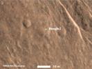
PIA19107:
Beagle 2 Lander on Mars, With Panels Deployed
Full Resolution:
TIFF
(113.2 kB)
JPEG
(15.66 kB)
2015-01-22
Mars
Mars Reconnaissance Orbiter (MRO)
HiRISE
2880x1800x3
PIA19139:
Crater Slopes: The Power of a Repeat Image
Full Resolution:
TIFF
(15.56 MB)
JPEG
(945.6 kB)
2015-01-22
Mars
Mars Reconnaissance Orbiter (MRO)
HiRISE
2880x1800x1
PIA19138:
Triple-Crater in Elysium Planitia
Full Resolution:
TIFF
(5.191 MB)
JPEG
(542.9 kB)
2015-01-22
Mars
Mars Reconnaissance Orbiter (MRO)
HiRISE
2880x1800x3
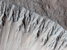
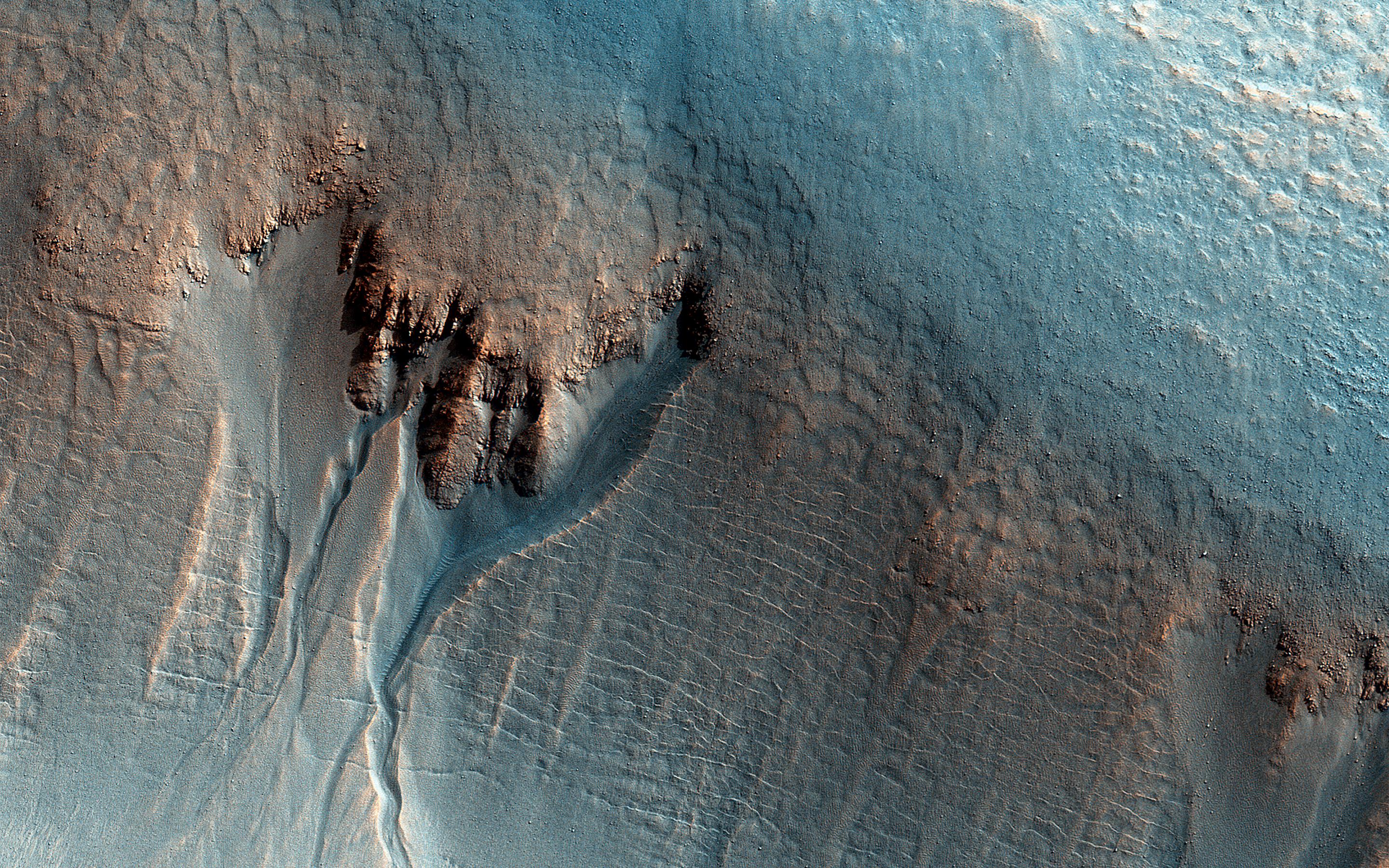
PIA19175:
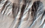
Gullies in Liu Hsin Crater
Full Resolution:
TIFF
(15.56 MB)
JPEG
(1.496 MB)
2015-01-22
Mars
Mars Reconnaissance Orbiter (MRO)
HiRISE
2880x1800x3
PIA19176:
Southeast Rim of Hale Crater
Full Resolution:
TIFF
(15.56 MB)
JPEG
(953.4 kB)
2015-01-28
Mars
Mars Reconnaissance Orbiter (MRO)
HiRISE
2880x1800x3
PIA19286:
Gullies Old and New Near the Argyre Region
Full Resolution:
TIFF
(15.56 MB)
JPEG
(1.238 MB)
2015-01-28
Mars
Mars Reconnaissance Orbiter (MRO)
HiRISE
2880x1800x3
PIA19287:
Higher Terrain between Sinai and Solis Plana
Full Resolution:
TIFF
(15.56 MB)
JPEG
(827 kB)
2015-01-28
Mars
Mars Reconnaissance Orbiter (MRO)
HiRISE
2880x1800x1
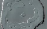
PIA19288:
Filled Crater and Scallops
Full Resolution:
TIFF
(5.191 MB)
JPEG
(1.214 MB)
2015-01-28
Mars
Mars Reconnaissance Orbiter (MRO)
HiRISE
2880x1800x3
PIA19289:
Pits in Hale Crater Ejecta
Full Resolution:
TIFF
(15.56 MB)
JPEG
(829 kB)
2015-02-04
Mars
Mars Reconnaissance Orbiter (MRO)
HiRISE
1920x1080x3
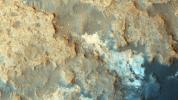
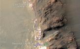
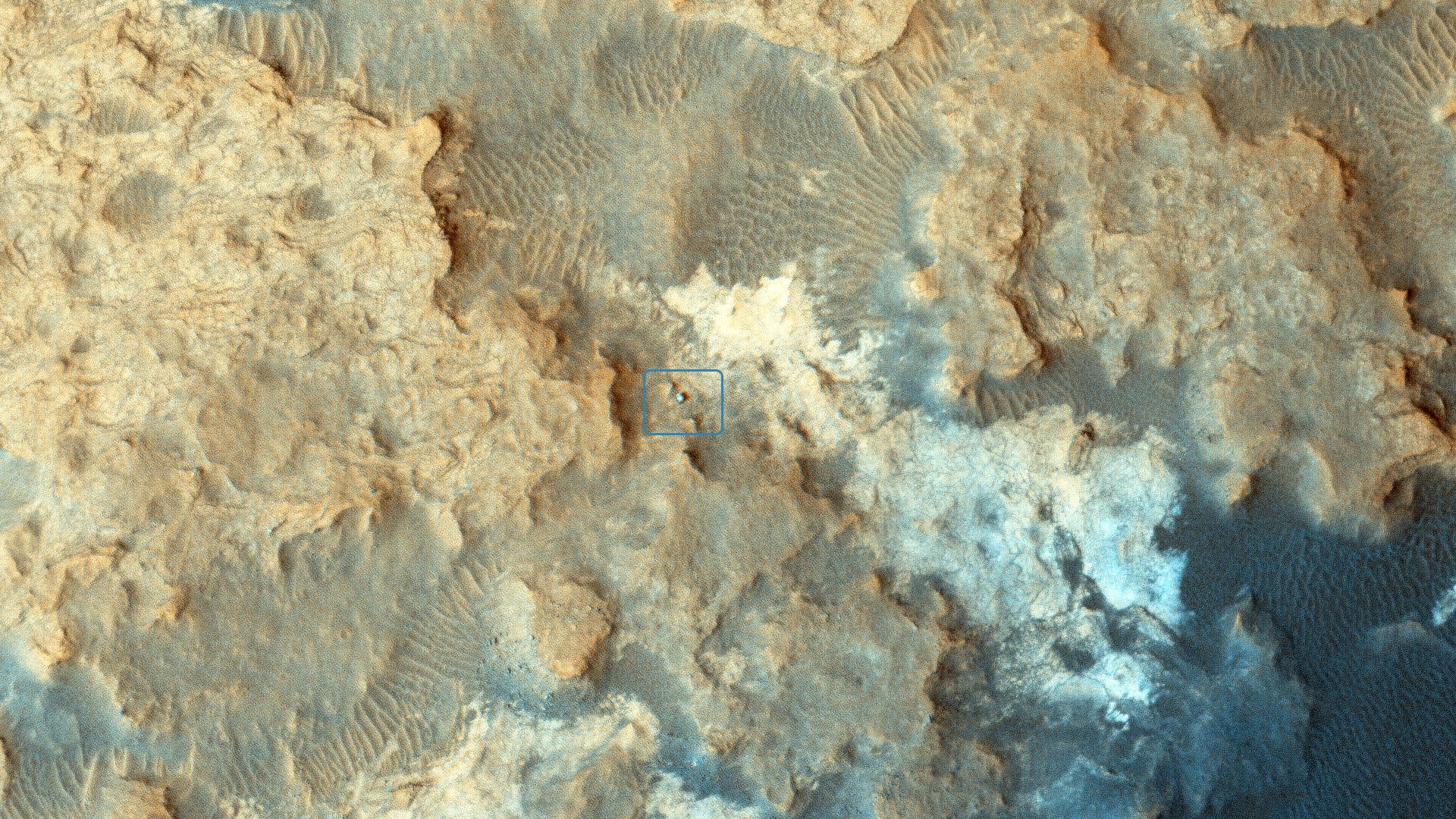
PIA19114:
Curiosity Rover at 'Pahrump Hills'
Full Resolution:
TIFF
(6.223 MB)
JPEG
(692.3 kB)
2015-02-04
Mars
Mars Reconnaissance Orbiter (MRO)
HiRISE
2880x1800x1
PIA19290:
Tangential Craters within Ptolemaeus Crater
Full Resolution:
TIFF
(5.191 MB)
JPEG
(798.2 kB)
2015-02-04
Mars
Mars Reconnaissance Orbiter (MRO)
HiRISE
2880x1800x3
PIA19291:
Yardangs in Arsinoes Chaos, Mars
Full Resolution:
TIFF
(15.56 MB)
JPEG
(844.8 kB)
2015-02-04
Mars
Mars Reconnaissance Orbiter (MRO)
HiRISE
2880x1800x3
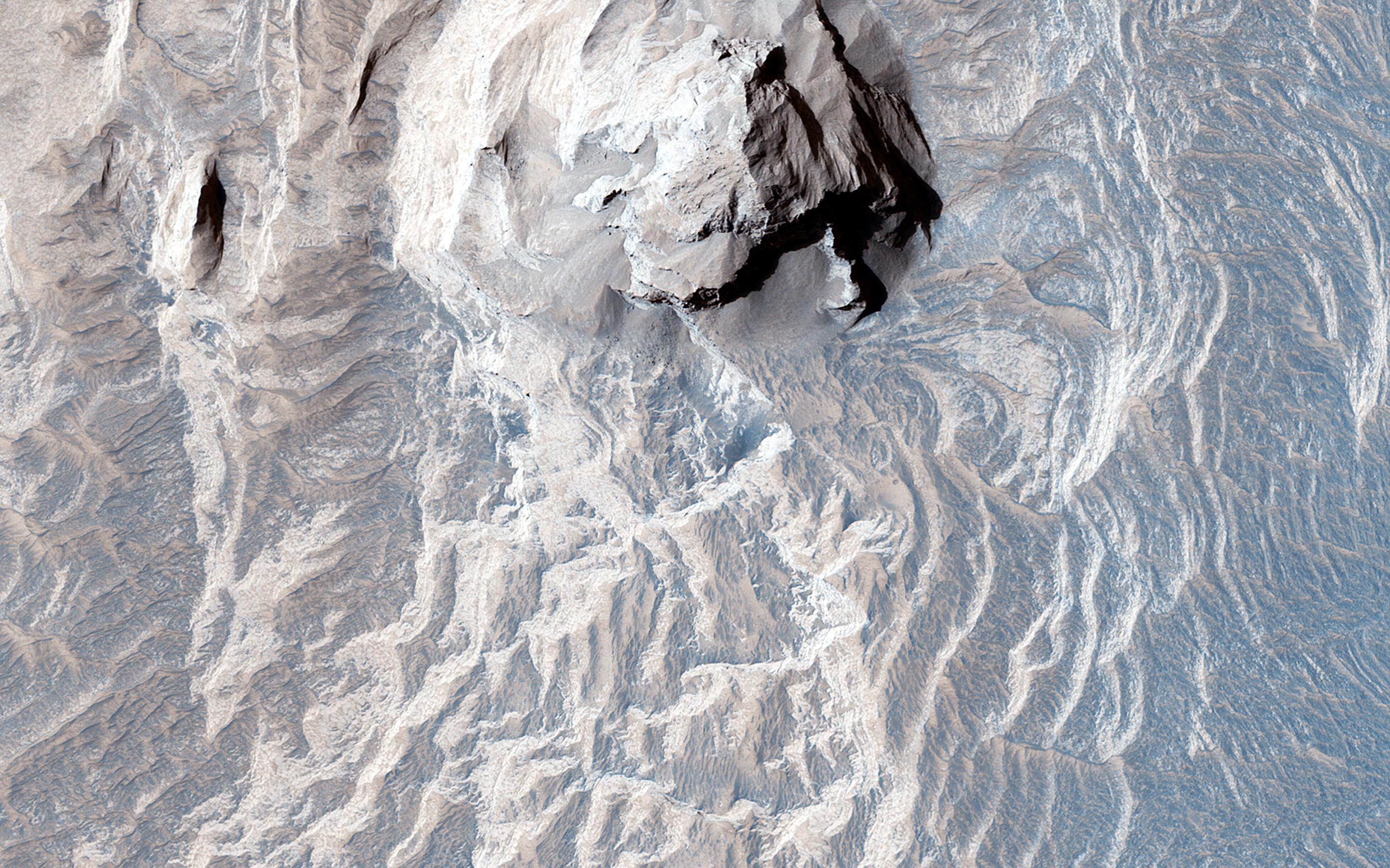
PIA19292:
Icy Wonderland
Full Resolution:
TIFF
(15.56 MB)
JPEG
(906.4 kB)
2015-02-11
Mars
Mars Reconnaissance Orbiter (MRO)
HiRISE
2880x1800x3
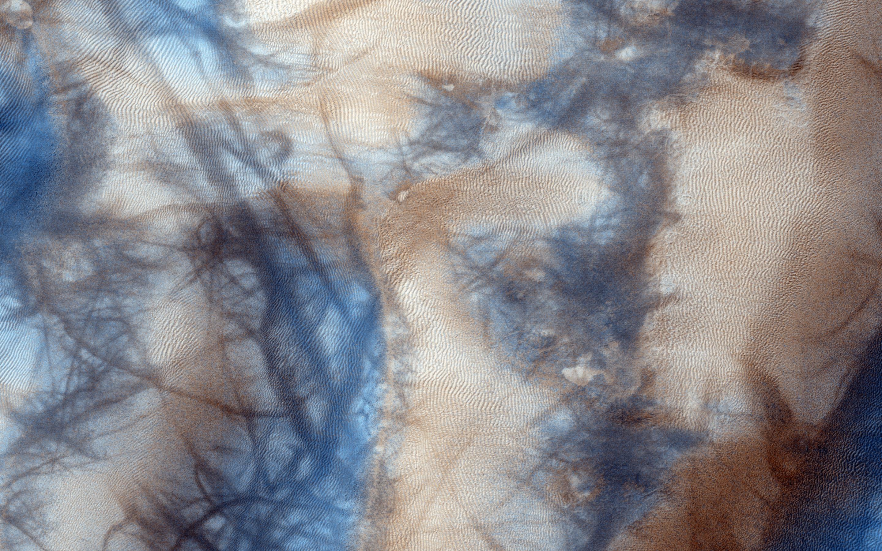
PIA19293:
A Large, Longitudinal Dune
Full Resolution:
TIFF
(15.56 MB)
JPEG
(1.116 MB)
2015-02-11
Mars
Mars Reconnaissance Orbiter (MRO)
HiRISE
2880x1800x3
PIA19294:
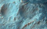
Gullies and Bedrock in Nirgal Vallis
Full Resolution:
TIFF
(15.56 MB)
JPEG
(1.112 MB)
2015-02-11
Mars
Mars Reconnaissance Orbiter (MRO)
HiRISE
2880x1800x3
PIA19295:
Boulders in Gully Alcoves
Full Resolution:
TIFF
(15.56 MB)
JPEG
(1.004 MB)
2015-02-11
Mars
Mars Reconnaissance Orbiter (MRO)
HiRISE
2880x1800x3
PIA19296:
Fan-Shaped Deposits in Bigbee Crater
Full Resolution:
TIFF
(15.56 MB)
JPEG
(1.115 MB)
2015-02-18
Mars
Mars Reconnaissance Orbiter (MRO)
HiRISE
2880x1800x3
PIA19299:
Lava Flow Near the Base of Olympus Mons
Full Resolution:
TIFF
(15.56 MB)
JPEG
(567.7 kB)
2015-02-18
Mars
Mars Reconnaissance Orbiter (MRO)
HiRISE
2880x1800x3
PIA19300:
Cerberus Fossae: In the Relay Zone
Full Resolution:
TIFF
(15.56 MB)
JPEG
(751.6 kB)
2015-02-18
Mars
Mars Reconnaissance Orbiter (MRO)
HiRISE
2880x1800x3
PIA19301:
A Fresh, Shallow Valley in Northern Arabia Terra
Full Resolution:
TIFF
(15.56 MB)
JPEG
(805.1 kB)
2015-03-04
Mars
Mars Reconnaissance Orbiter (MRO)
HiRISE
2880x1800x3
PIA19302:
Dunes in Western Medusae Fossae Formation
Full Resolution:
TIFF
(15.56 MB)
JPEG
(697.2 kB)
2015-03-04
Mars
Mars Reconnaissance Orbiter (MRO)
HiRISE
2880x1800x3
PIA19303:
A Possible Landing Site for the 2020 Mission: Jezero Crater
Full Resolution:
TIFF
(15.56 MB)
JPEG
(1.099 MB)
2015-03-04
Mars
Mars Reconnaissance Orbiter (MRO)
HiRISE
2880x1800x1
PIA19304:
Craters Near Nilokeras Scopulus
Full Resolution:
TIFF
(5.191 MB)
JPEG
(495.4 kB)
2015-03-04
Mars
Mars Reconnaissance Orbiter (MRO)
HiRISE
2880x1800x3
PIA19305:
Sand Avalanches in Meroe Patera
Full Resolution:
TIFF
(15.56 MB)
JPEG
(924.2 kB)
2015-03-11
Mars
Mars Reconnaissance Orbiter (MRO)
HiRISE
2880x1800x3
PIA19306:
Ares 3 and The Martian
Full Resolution:
TIFF
(15.56 MB)
JPEG
(949.9 kB)
2015-03-11
Mars
Mars Reconnaissance Orbiter (MRO)
HiRISE
2880x1800x3
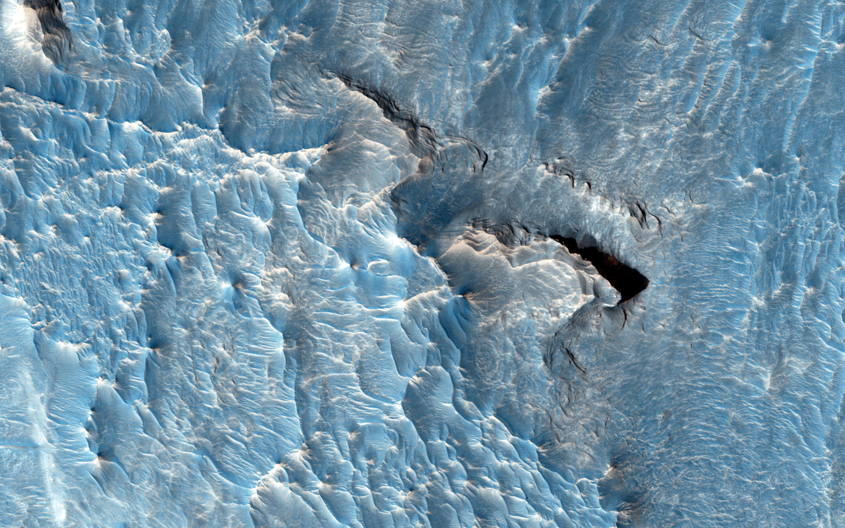
PIA19307:
Cracks in a Debris Apron
Full Resolution:
TIFF
(15.56 MB)
JPEG
(1.125 MB)
2015-03-11
Mars
Mars Reconnaissance Orbiter (MRO)
HiRISE
2880x1800x3
PIA19308:
Gullies and Layers in a Crater Near Mariner Crater
Full Resolution:
TIFF
(15.56 MB)
JPEG
(941.4 kB)
2015-03-11
Mars
Mars Reconnaissance Orbiter (MRO)
HiRISE
2880x1800x3
PIA19309:
Recurring Slope Lineae in Raga Crater
Full Resolution:
TIFF
(15.56 MB)
JPEG
(923.4 kB)
2015-03-24
Mars
Mars Exploration Rover (MER)
Mars Reconnaissance Orbiter (MRO)
HiRISE
3602x2208x3
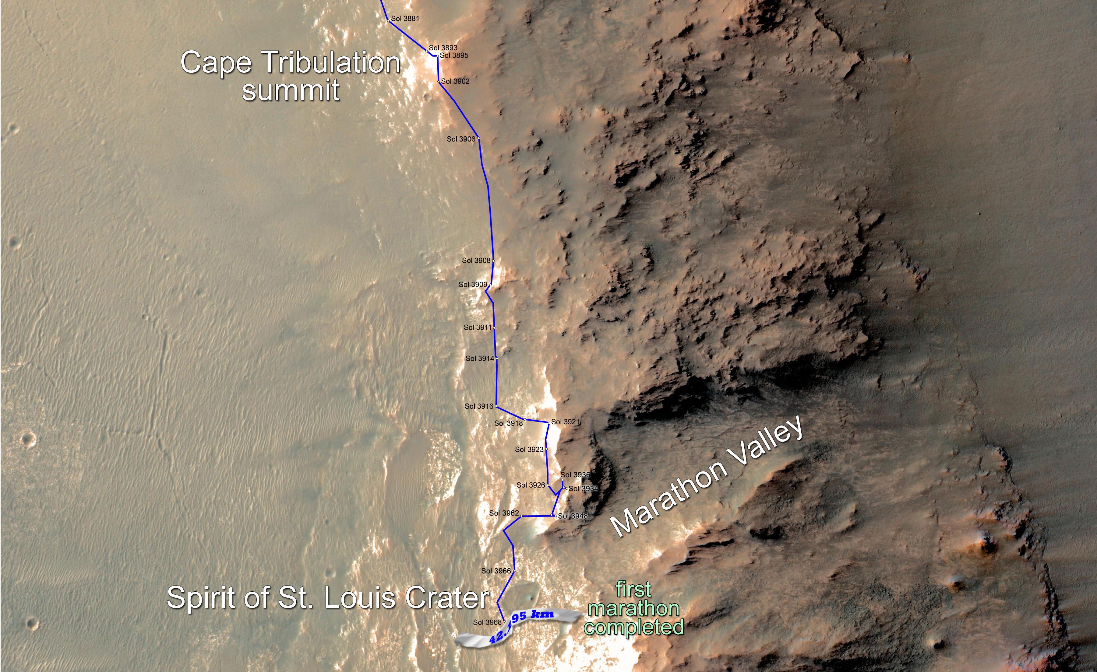
PIA19157:
Opportunity Rover Surpasses Marathon Distance
Full Resolution:
TIFF
(23.87 MB)
JPEG
(1.029 MB)
2015-03-25
Mars
Mars Reconnaissance Orbiter (MRO)
HiRISE
2880x1800x1
PIA19350:
Pitted Landforms in Southern Hellas Planitia
Full Resolution:
TIFF
(5.191 MB)
JPEG
(1.715 MB)
2015-03-25
Mars
Mars Reconnaissance Orbiter (MRO)
HiRISE
2880x1800x3
PIA19351:
At the Head of a Kasei Valles Cataract
Full Resolution:
TIFF
(15.56 MB)
JPEG
(1.409 MB)
2015-03-25
Mars
Mars Reconnaissance Orbiter (MRO)
HiRISE
2880x1800x3
PIA19352:
The Lowest Point of Osuga Valles
Full Resolution:
TIFF
(15.56 MB)
JPEG
(718.2 kB)
2015-03-25
Mars
Mars Reconnaissance Orbiter (MRO)
HiRISE
2880x1800x3
PIA19353:
Possible Fluvial Features in Golden Crater
Full Resolution:
TIFF
(15.56 MB)
JPEG
(715.3 kB)
2015-03-27
Mars
Mars Reconnaissance Orbiter (MRO)
Mars Science Laboratory (MSL)
HiRISE
2072x1225x1
PIA19159:
Changes in Scars From 2012 Mars Landing
Full Resolution:
TIFF
(2.542 MB)
JPEG
(291.2 kB)
2015-04-08
Mars
Mars Reconnaissance Orbiter (MRO)
HiRISE
2880x1800x3
PIA19356:
Sinuous Ridge Materials in Reuyl Crater
Full Resolution:
TIFF
(15.56 MB)
JPEG
(945 kB)
2015-04-08
Mars
Mars Reconnaissance Orbiter (MRO)
HiRISE
2880x1800x3
PIA19357:
What on Mars is a High Thermal-Inertia Surface?
Full Resolution:
TIFF
(15.56 MB)
JPEG
(1.055 MB)
2015-04-08
Mars
Mars Reconnaissance Orbiter (MRO)
HiRISE
2880x1800x3
PIA19358:
Layers and Dark Dunes
Full Resolution:
TIFF
(15.56 MB)
JPEG
(1.033 MB)
2015-04-08
Mars
Mars Reconnaissance Orbiter (MRO)
HiRISE
2880x1800x3
PIA19359:
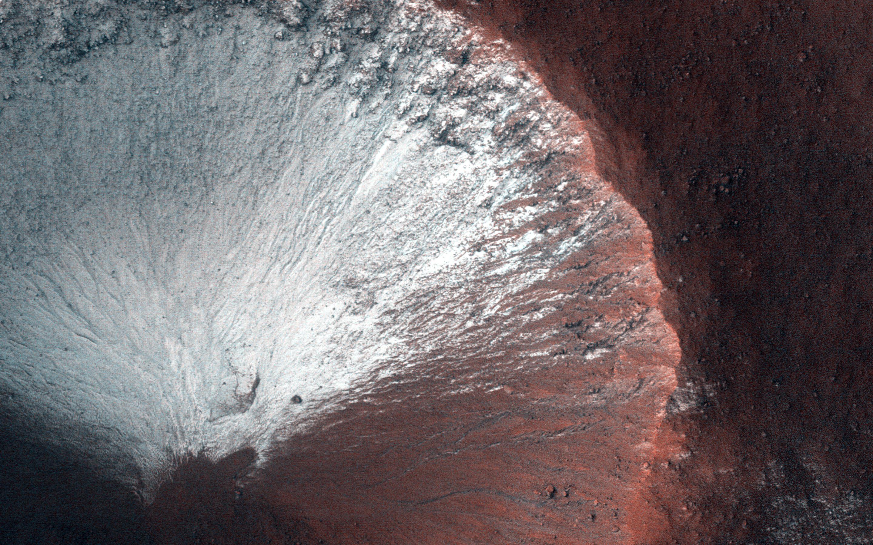
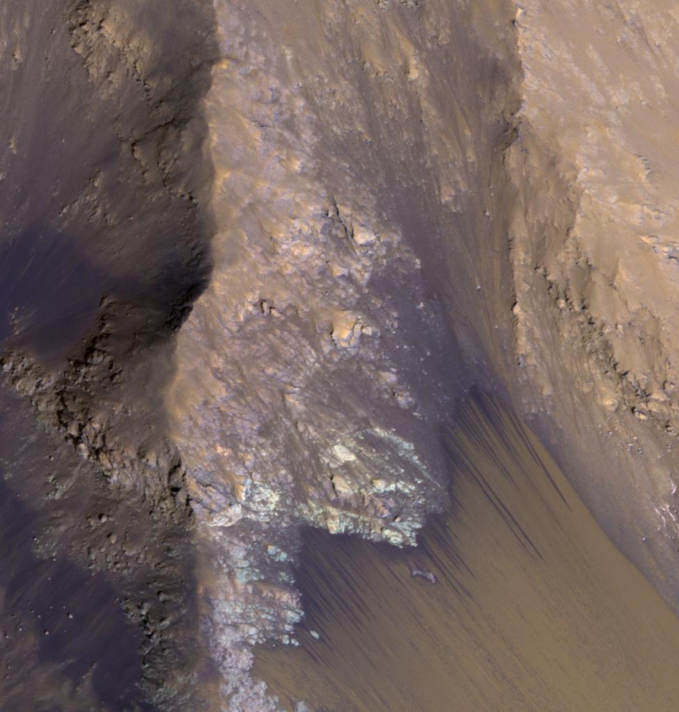
Seasonal Flows in the Central Mountains of Hale Crater
Full Resolution:
TIFF
(15.56 MB)
JPEG
(688.5 kB)
2016-07-29
Mars
Mars Reconnaissance Orbiter (MRO)
HiRISE
900x1080x3
PIA20763:
Adding Composition Data About Mars Gullies
Full Resolution:
TIFF
(2.43 MB)
JPEG
(137.9 kB)
2015-04-22
Mars
Mars Reconnaissance Orbiter (MRO)
Mars Science Laboratory (MSL)
HiRISE
2286x1510x3
PIA19392:
Mars Orbiter Sees Curiosity Rover in 'Artist's Drive'
Full Resolution:
TIFF
(10.36 MB)
JPEG
(527.1 kB)
2015-04-22
Mars
Mars Reconnaissance Orbiter (MRO)
HiRISE
2880x1800x3
PIA19363:
Ares 3 Landing Site: The Martian Revisited
Full Resolution:
TIFF
(15.56 MB)
JPEG
(985.1 kB)
2015-04-22
Mars
Mars Reconnaissance Orbiter (MRO)
HiRISE
2880x1800x3
PIA19364:
Slope Monitoring in Aram Chaos
Full Resolution:
TIFF
(15.56 MB)
JPEG
(793.6 kB)
2015-04-22
Mars
Mars Reconnaissance Orbiter (MRO)
HiRISE
2880x1800x3
PIA19365:
Embayment in Tectonized Fluvial Terrain
Full Resolution:
TIFF
(15.56 MB)
JPEG
(891.4 kB)
2015-04-22
Mars
Mars Reconnaissance Orbiter (MRO)
HiRISE
2880x1800x3
PIA19366:
Sinuous Ridge on the Orson Welles Bajada
Full Resolution:
TIFF
(15.56 MB)
JPEG
(1.264 MB)
2015-04-22
Mars
Mars Reconnaissance Orbiter (MRO)
HiRISE
2880x1800x3
PIA19367:
Layering in Spallanzani Crater
Full Resolution:
TIFF
(15.56 MB)
JPEG
(720.8 kB)
2015-05-06
Mars
Mars Reconnaissance Orbiter (MRO)
HiRISE
2880x1800x3
PIA19456:
Slope Streaks on a Dusty Planet
Full Resolution:
TIFF
(15.56 MB)
JPEG
(534.2 kB)
2015-05-06
Mars
Mars Reconnaissance Orbiter (MRO)
HiRISE
2880x1800x3
PIA19457:
On the Beauty of Yardangs
Full Resolution:
TIFF
(15.56 MB)
JPEG
(764.5 kB)
2015-05-06
Mars
Mars Reconnaissance Orbiter (MRO)
HiRISE
2880x1800x3
PIA19458:
Warm-Season Flows in Cold-Season Ravines
Full Resolution:
TIFF
(15.56 MB)
JPEG
(1.068 MB)
2015-05-06
Mars
Mars Reconnaissance Orbiter (MRO)
HiRISE
840x333x1
PIA19459:
Darn Dust!
Full Resolution:
TIFF
(280.2 kB)
JPEG
(41.45 kB)
2015-05-20
Mars
Mars Reconnaissance Orbiter (MRO)
HiRISE
2880x1800x3
PIA18560:
Honey, I Shrunk the Mesas
Full Resolution:
TIFF
(15.56 MB)
JPEG
(1.017 MB)
2015-05-20
Mars
Mars Reconnaissance Orbiter (MRO)
HiRISE
2880x1800x3
PIA18561:
Seasonal Flows in Asimov Crater
Full Resolution:
TIFF
(15.56 MB)
JPEG
(908.7 kB)
2015-05-20
Mars
Mars Reconnaissance Orbiter (MRO)
HiRISE
2880x1800x3
PIA18562:
Sedimentary Rock Layers on a Crater Floor
Full Resolution:
TIFF
(15.56 MB)
JPEG
(773.6 kB)
2015-05-20
Mars
Mars Reconnaissance Orbiter (MRO)
HiRISE
2880x1800x3
PIA18563:
Alluvial Fans in Mojave Crater
Full Resolution:
TIFF
(15.56 MB)
JPEG
(898.5 kB)
2015-06-08
Mars
Mars Reconnaissance Orbiter (MRO)
CRISM
1551x938x3
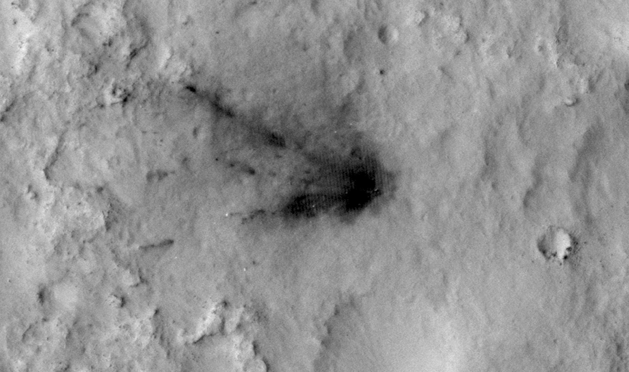
PIA19673:
Spectral Signals Indicating Impact Glass on Mars
Full Resolution:
TIFF
(4.366 MB)
JPEG
(201.2 kB)
2015-06-03
Mars
Mars Reconnaissance Orbiter (MRO)
HiRISE
2880x1800x3
PIA11775:
Fill or Mantling Material in a Crater
Full Resolution:
TIFF
(15.56 MB)
JPEG
(1.086 MB)
2015-06-03
Mars
Mars Reconnaissance Orbiter (MRO)
HiRISE
2880x1800x3
PIA11776:
A Mysterious Bright Streak on the South Polar Layered Deposits
Full Resolution:
TIFF
(15.56 MB)
JPEG
(1.307 MB)
2015-06-03
Mars
Mars Reconnaissance Orbiter (MRO)
HiRISE
2880x1800x3
PIA11777:
A Fresh Crater near Sirenum Fossae
Full Resolution:
TIFF
(15.56 MB)
JPEG
(750.4 kB)
2015-06-03
Mars
Mars Reconnaissance Orbiter (MRO)
HiRISE
2880x1800x3
PIA11778:
Gigas Sulci
Full Resolution:
TIFF
(15.56 MB)
JPEG
(675.6 kB)
2015-06-17
Mars
Mars Reconnaissance Orbiter (MRO)
HiRISE
2880x1800x3
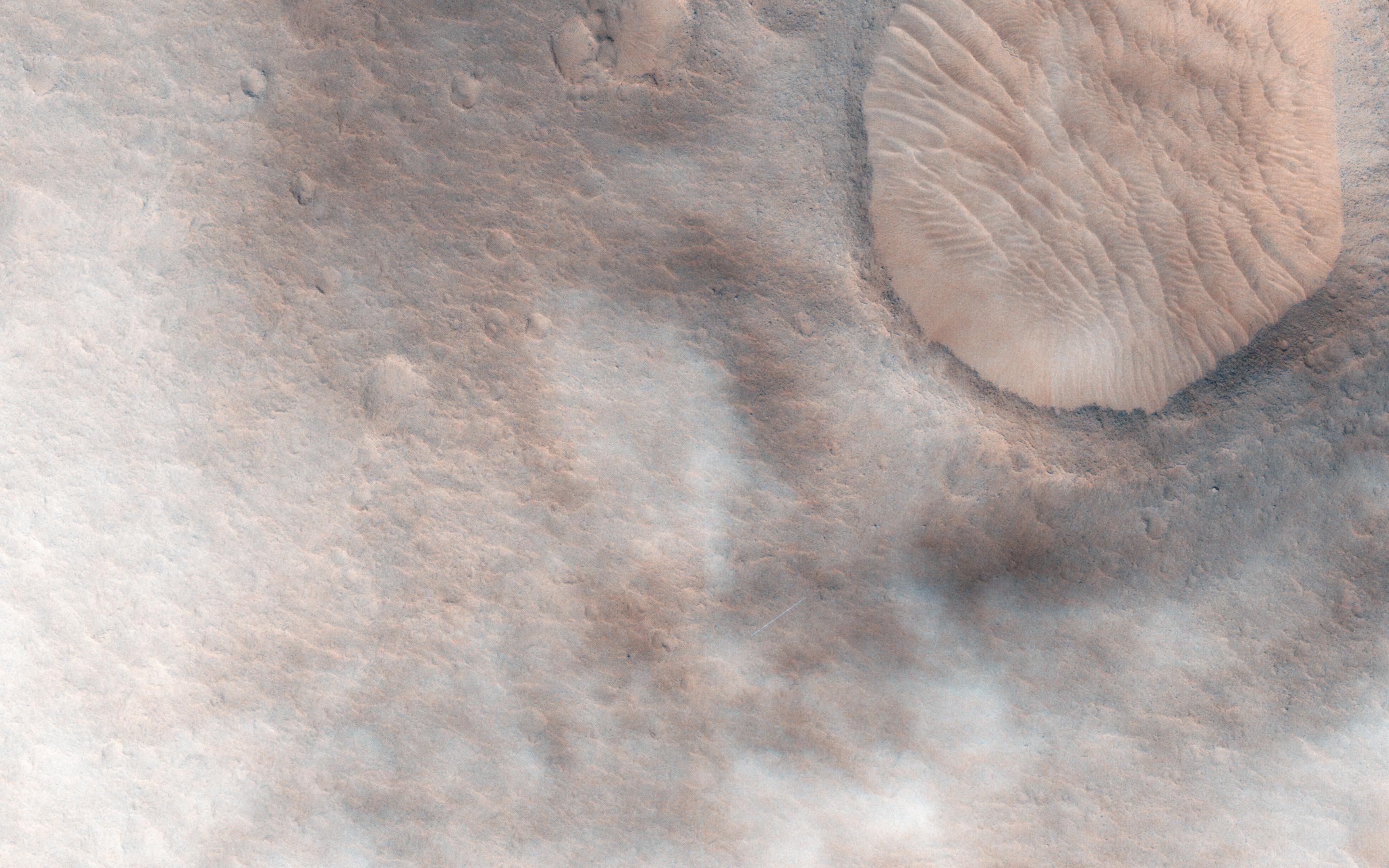
PIA19843:
Active High-Latitude Dune-Gullies
Full Resolution:
TIFF
(15.56 MB)
JPEG
(1.001 MB)
2015-06-17
Mars
Mars Reconnaissance Orbiter (MRO)
HiRISE
2880x1800x3
PIA19844:
A Light Toned Deposit in Aureum Chaos
Full Resolution:
TIFF
(15.56 MB)
JPEG
(831 kB)
2015-06-17
Mars
Mars Reconnaissance Orbiter (MRO)
HiRISE
2880x1800x3
PIA19845:
A Fan-Shaped Landform and Nearby Light-Toned Material
Full Resolution:
TIFF
(15.56 MB)
JPEG
(1.015 MB)
2015-06-17
Mars
Mars Reconnaissance Orbiter (MRO)
HiRISE
2880x1800x3
PIA19846:
Cloudy Skies over Hypanis Vallis
Full Resolution:
TIFF
(15.56 MB)
JPEG
(733.3 kB)
2015-07-01
Mars
Mars Reconnaissance Orbiter (MRO)
HiRISE
2880x1800x3
PIA19848:
Searching for Clinoforms in a Possible Delta
Full Resolution:
TIFF
(15.56 MB)
JPEG
(693.4 kB)
2015-07-01
Mars
Mars Reconnaissance Orbiter (MRO)
HiRISE
2880x1800x3
PIA19849:
Pedestal Crater Development
Full Resolution:
TIFF
(15.56 MB)
JPEG
(764.6 kB)
2015-07-01
Mars
Mars Reconnaissance Orbiter (MRO)
HiRISE
2880x1800x3
PIA19850:
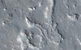
A Channel System and Patterned Ground near Hellas Basin
Full Resolution:
TIFF
(15.56 MB)
JPEG
(1.198 MB)
2015-07-22
Mars
Mars Reconnaissance Orbiter (MRO)
CTX
HiRISE
1920x1080x3
PIA19823:
Volunteers Help Decide Where to Point Mars Camera
Full Resolution:
TIFF
(6.223 MB)
JPEG
(386.9 kB)
2015-07-01
Mars
Mars Reconnaissance Orbiter (MRO)
HiRISE
2880x1800x3
PIA19851:
Clay-Rich Terrain in Oxia Planum: A Proposed ExoMars Landing Site
Full Resolution:
TIFF
(15.56 MB)
JPEG
(1.42 MB)
2015-07-15
Mars
Mars Reconnaissance Orbiter (MRO)
HiRISE
2880x1800x3
PIA19852:
Frosty Gullies on the Northern Plains
Full Resolution:
TIFF
(15.56 MB)
JPEG
(857.7 kB)
2015-07-15
Mars
Mars Reconnaissance Orbiter (MRO)
HiRISE
2880x1800x3
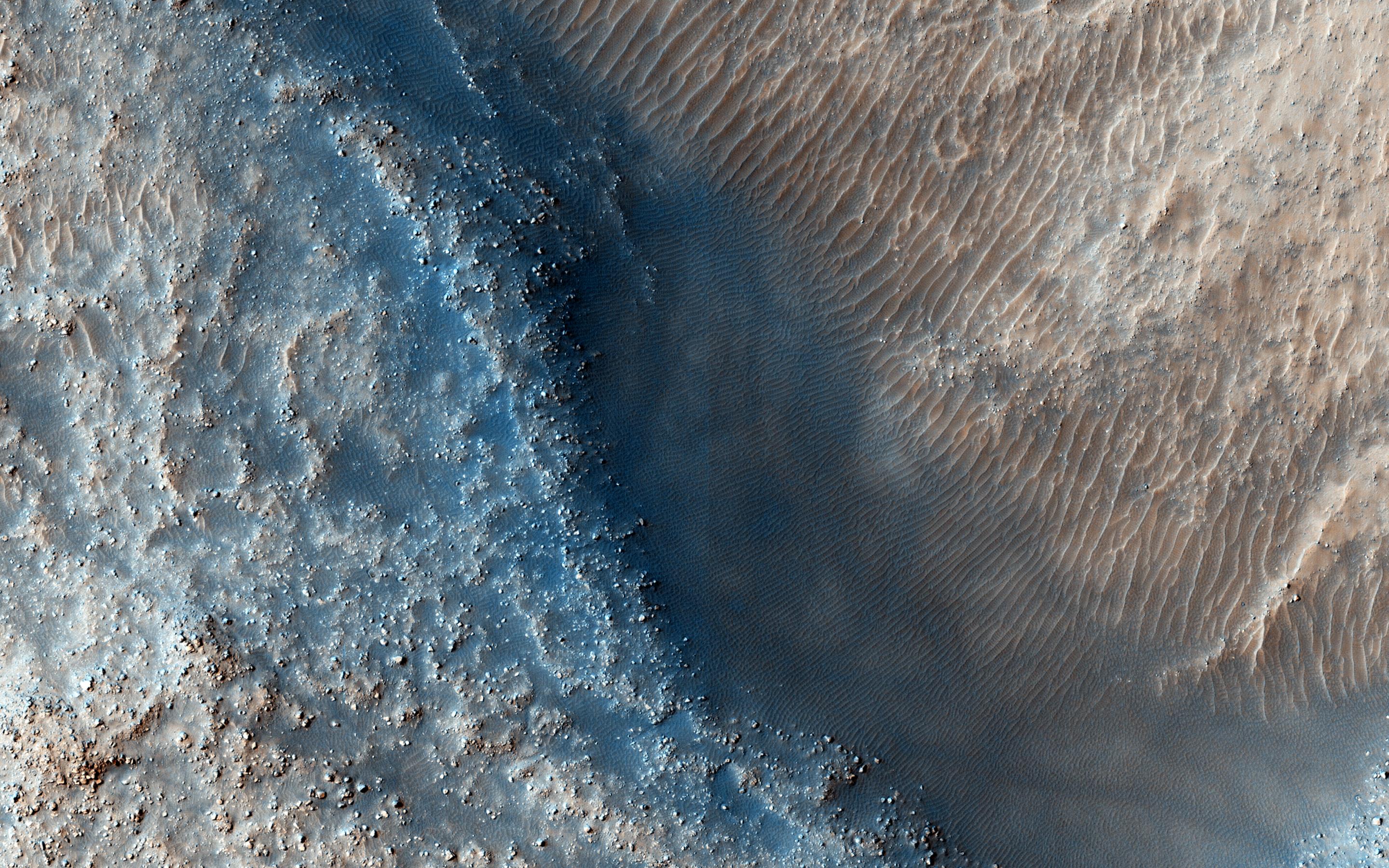
PIA19853:
Potential Active Processes in Porter Crater
Full Resolution:
TIFF
(15.56 MB)
JPEG
(976.9 kB)
2015-07-15
Mars
Mars Reconnaissance Orbiter (MRO)
HiRISE
2880x1800x3
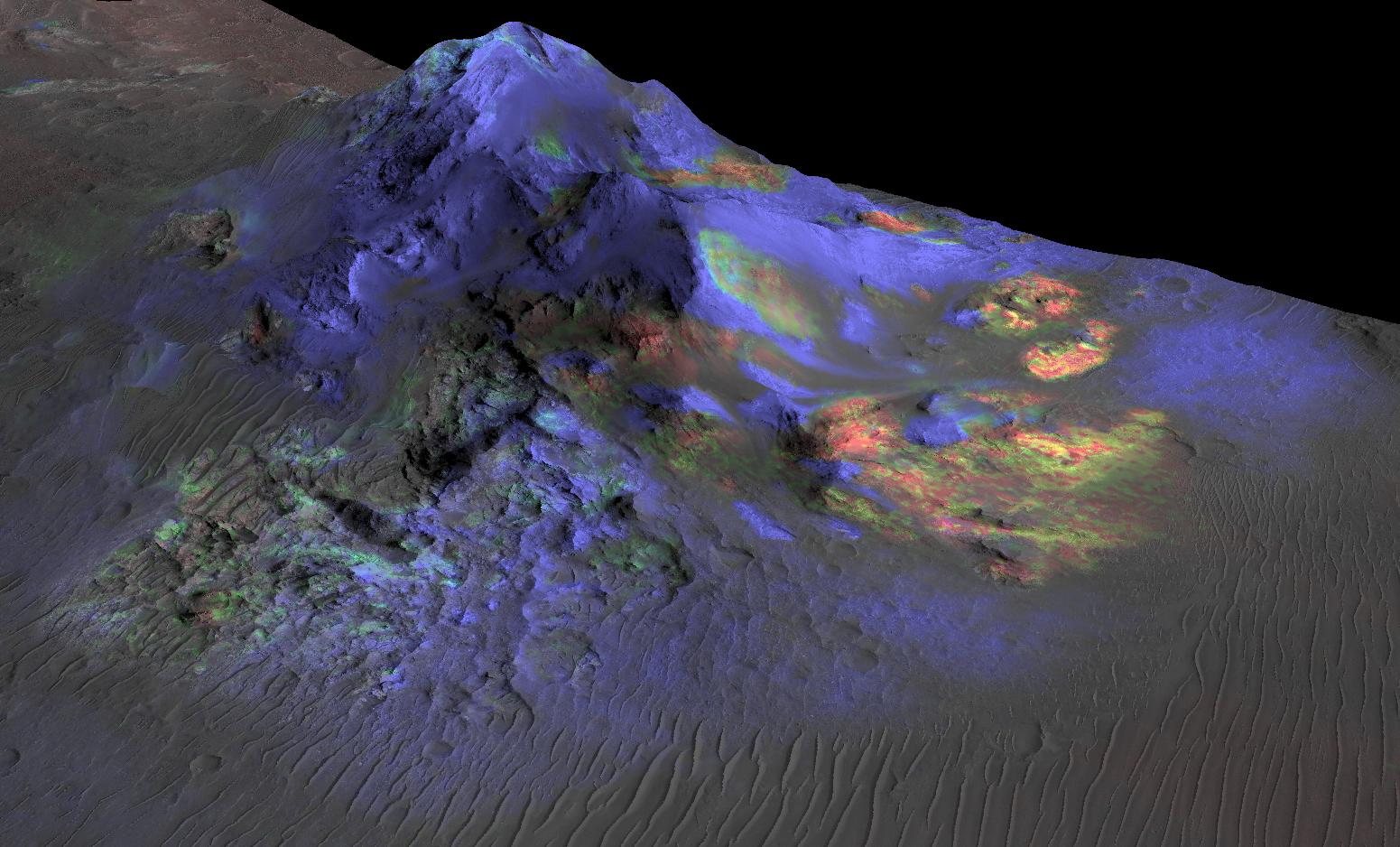
PIA19854:
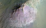
Purple Mountain's Majesty
Full Resolution:
TIFF
(15.56 MB)
JPEG
(731.7 kB)
2015-07-15
Mars
Mars Reconnaissance Orbiter (MRO)
HiRISE
2880x1800x3
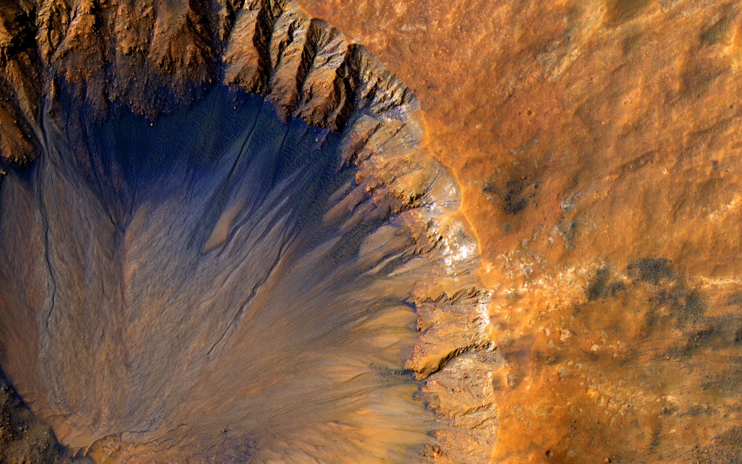
PIA19855:
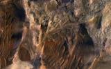
Sedimentary Deposits within Ius Chasma
Full Resolution:
TIFF
(15.56 MB)
JPEG
(1.057 MB)
2015-07-29
Mars
Mars Reconnaissance Orbiter (MRO)
HiRISE
2880x1800x3
PIA19859:
A Possible Landing Site for the ExoMars Rover in Aram Dorsum
Full Resolution:
TIFF
(15.56 MB)
JPEG
(1.177 MB)
2015-07-29
Mars
Mars Reconnaissance Orbiter (MRO)
HiRISE
2880x1800x3
PIA19860:
Diverse Deposits in Melas Chasma
Full Resolution:
TIFF
(15.56 MB)
JPEG
(835.8 kB)
2015-07-29
Mars
Mars Reconnaissance Orbiter (MRO)
HiRISE
2880x1800x3
PIA19861:
A Fresh Shallow Valley Transitions to an Inverted Channel
Full Resolution:
TIFF
(15.56 MB)
JPEG
(1.045 MB)
2015-07-29
Mars
Mars Reconnaissance Orbiter (MRO)
HiRISE
2880x1800x3
PIA19862:
Gullies on the Wall of an Unnamed Crater in Utopia Planitia
Full Resolution:
TIFF
(15.56 MB)
JPEG
(1.375 MB)
2015-08-12
Mars
Mars Reconnaissance Orbiter (MRO)
HiRISE
2880x1800x3
PIA19868:
Light-Toned Layers in Tithonium Chasma
Full Resolution:
TIFF
(15.56 MB)
JPEG
(939.3 kB)
2015-08-10
Mars
Mars Reconnaissance Orbiter (MRO)
HiRISE
975x1023x3
PIA19805:
For Anniversary of Orbiter's Launch: Seasonal Flows in Mars' Valles Marineris
Full Resolution:
TIFF
(2.994 MB)
JPEG
(109.6 kB)
2015-08-12
Mars
Mars Reconnaissance Orbiter (MRO)
HiRISE
2880x1800x3
PIA19869:
Yardang-Sculpted Deposits from Apollonaris Patera
Full Resolution:
TIFF
(15.56 MB)
JPEG
(1.067 MB)
2015-08-12
Mars
Mars Reconnaissance Orbiter (MRO)
HiRISE
2880x1800x3
PIA19870:
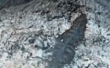
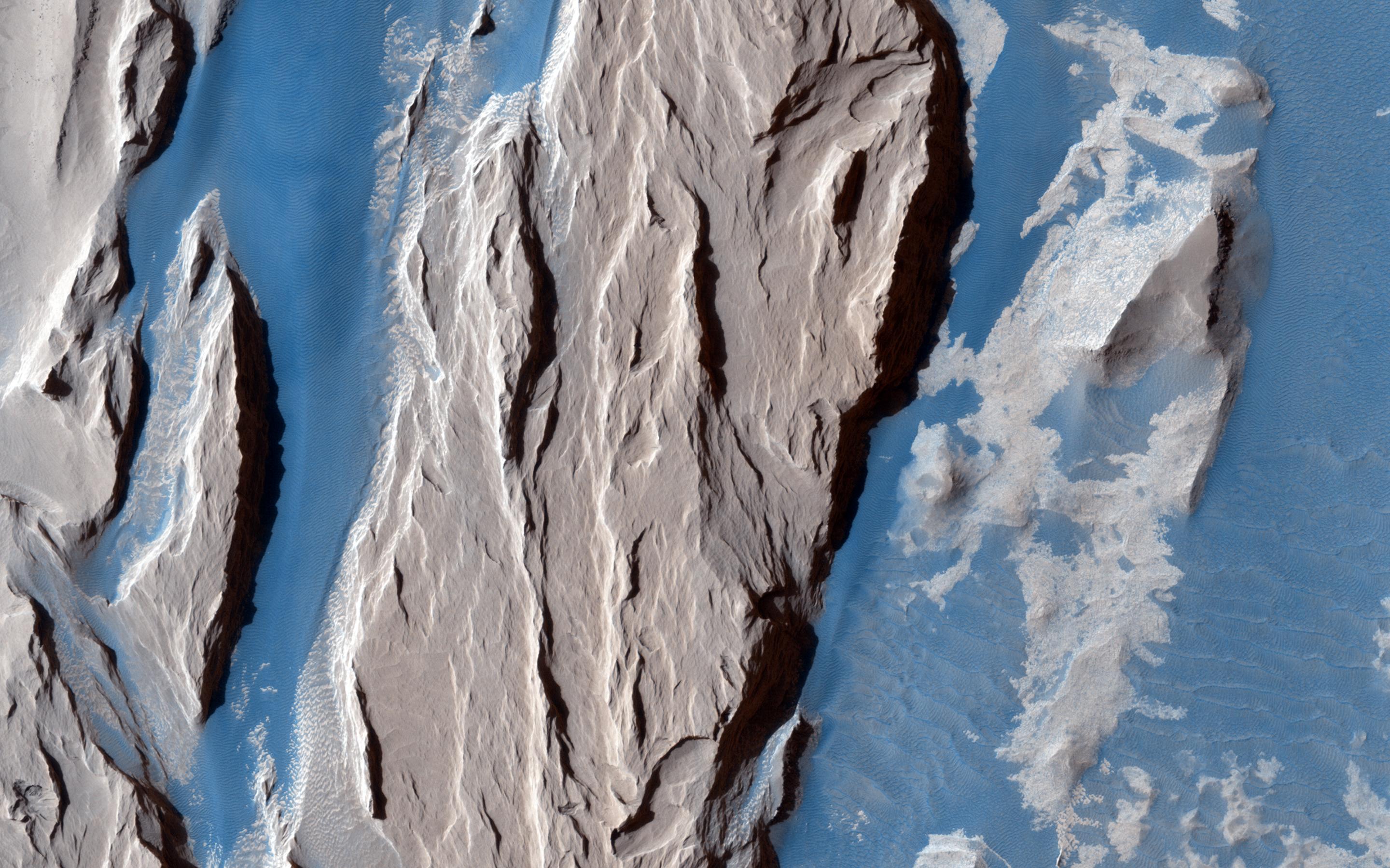
Ridge and Talus in Lycus Sulci
Full Resolution:
TIFF
(15.32 MB)
JPEG
(861.2 kB)
2015-09-02
Mars
2001 Mars Odyssey
Mars Reconnaissance Orbiter (MRO)
CRISM
THEMIS
1234x616x3
PIA19816:
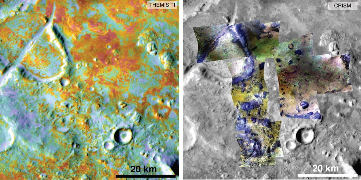
Multiple Instruments Used for Mars Carbon Estimate
Full Resolution:
TIFF
(2.281 MB)
JPEG
(155.9 kB)
2015-09-02
Mars
Mars Reconnaissance Orbiter (MRO)
CRISM
HiRISE
801x1280x3
PIA19817:
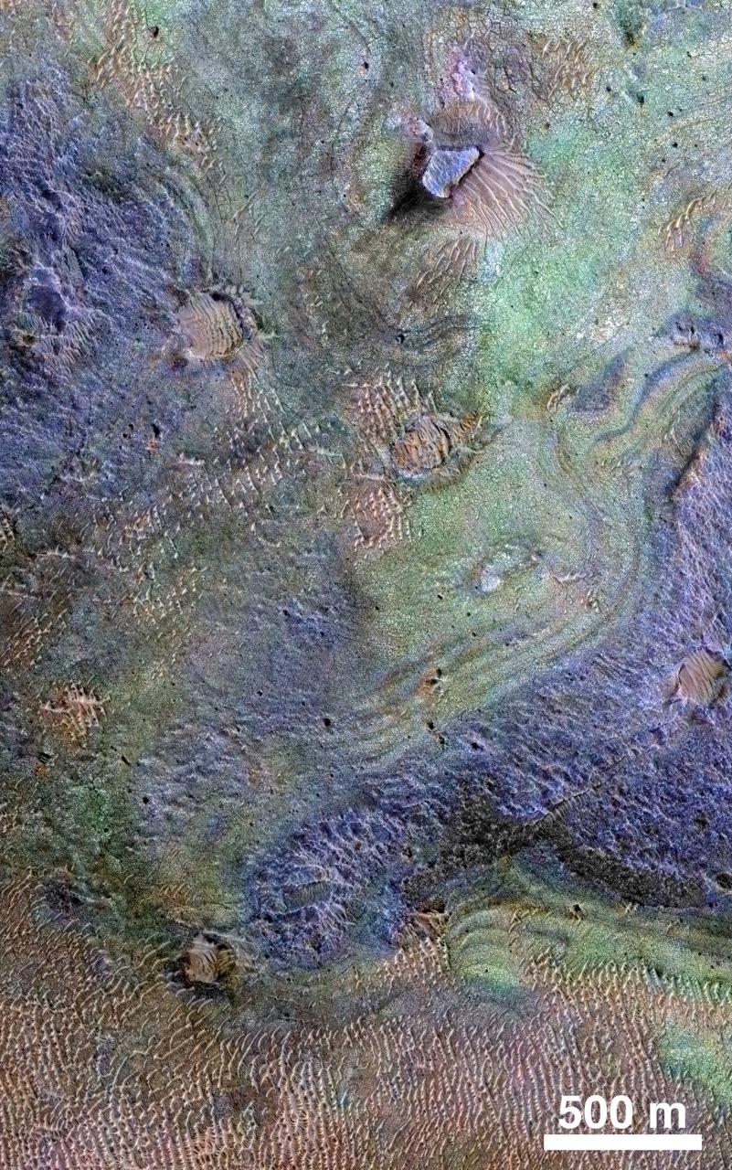
Rocks Here Sequester Some of Mars' Early Atmosphere
Full Resolution:
TIFF
(3.077 MB)
JPEG
(333.9 kB)
2015-09-16
Mars
Mars Reconnaissance Orbiter (MRO)
HiRISE
2880x1800x3
PIA19939:
Western Medusa Fossae Formation: Dust and Dunes
Full Resolution:
TIFF
(15.56 MB)
JPEG
(734.2 kB)
2015-09-16
Mars
Mars Reconnaissance Orbiter (MRO)
HiRISE
2880x1800x3
PIA19940:
Possible Sulfates in the Northeast Syrtis Major Region
Full Resolution:
TIFF
(15.56 MB)
JPEG
(881.1 kB)
1-100
101-200
201-300
301-400
401-500
501-600
601-700
701-800
801-900
901-1000
Currently displaying images:
901 - 1000
of 1671


