
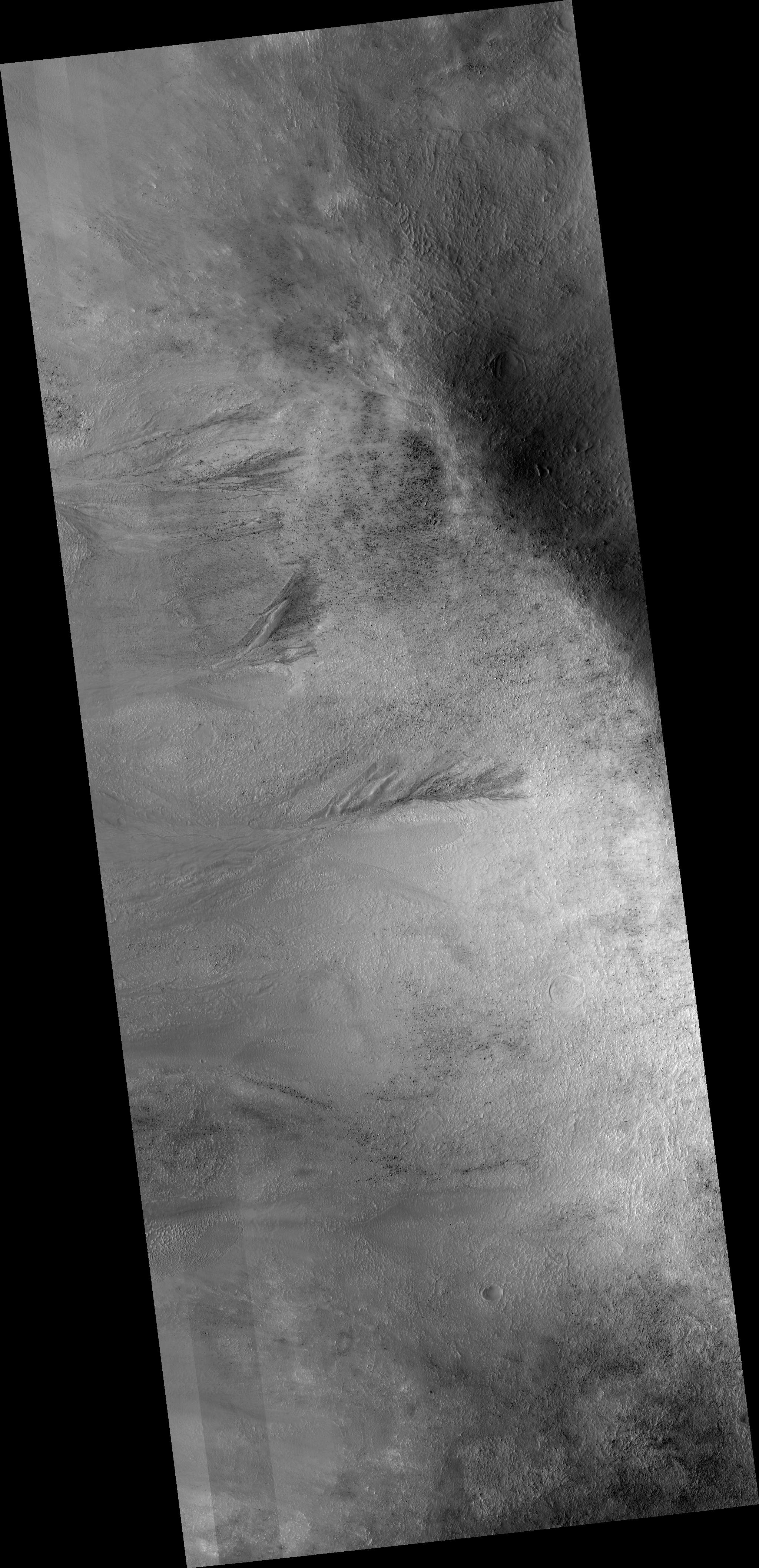
Map Projected Browse Image
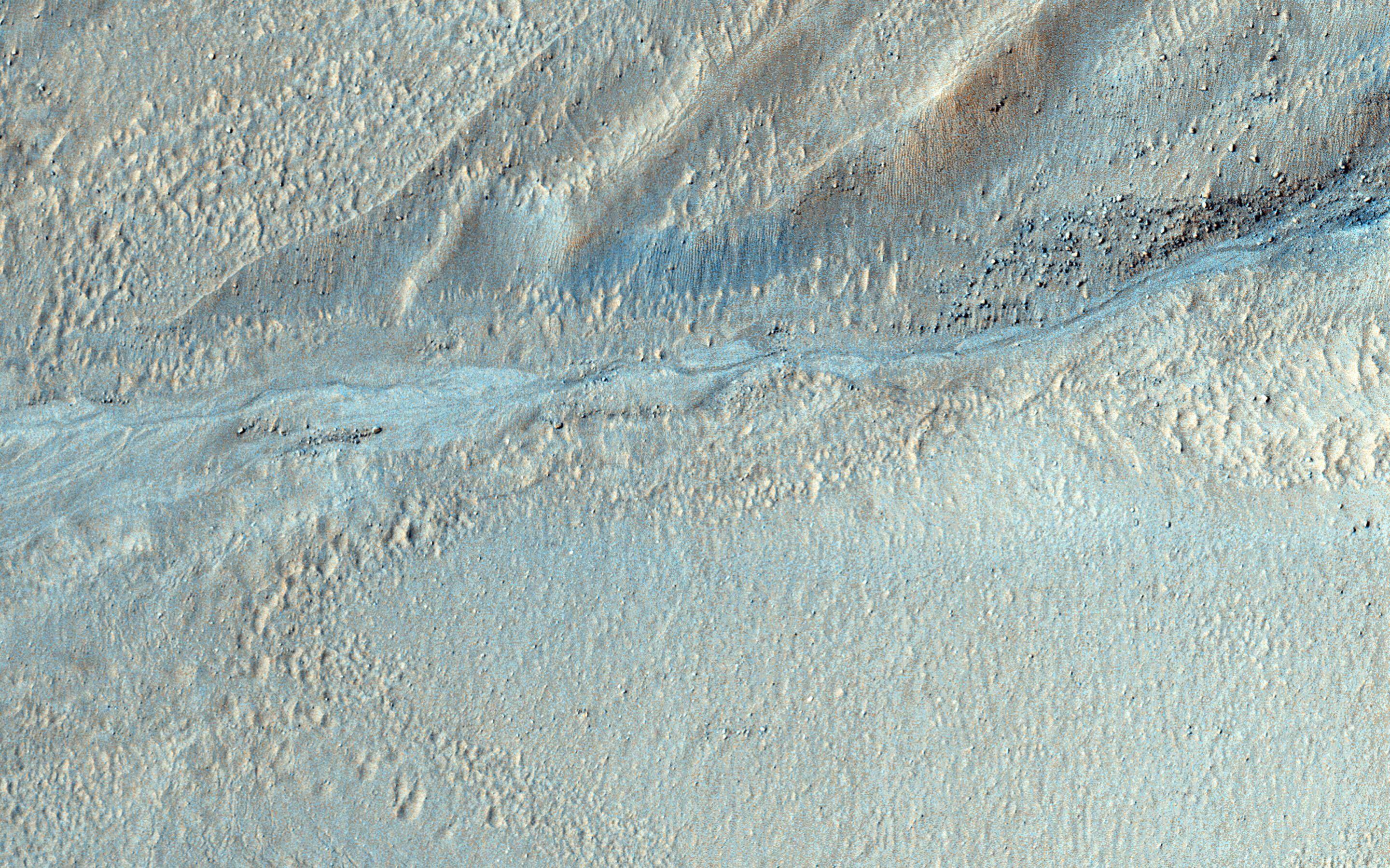
Click on the image for larger versionAs gullies form on slopes, sediment can become deposited to form lobe-shaped fans. Gullies can form with flowing water, but don't have to: sometimes they can be formed by the dry flow of sand and dust grains. This HiRISE image shows several seemingly active gullies and their associated fans.
These particular gullies have many fine channels that are resolved nicely with a high resolution image.
The University of Arizona, Tucson, operates HiRISE, which was built by Ball Aerospace & Technologies Corp., Boulder, Colo. NASA's Jet Propulsion Laboratory, a division of the California Institute of Technology in Pasadena, manages the Mars Reconnaissance Orbiter Project for NASA's Science Mission Directorate, Washington.
