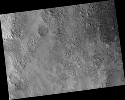
Map Projected Browse Image
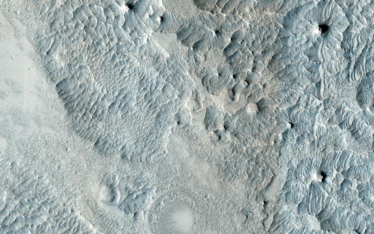
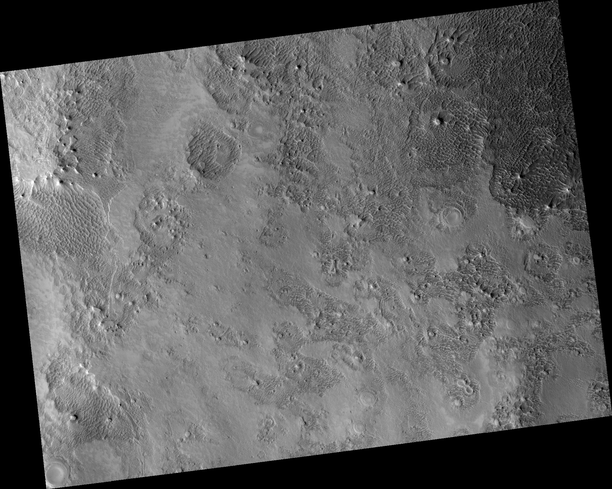
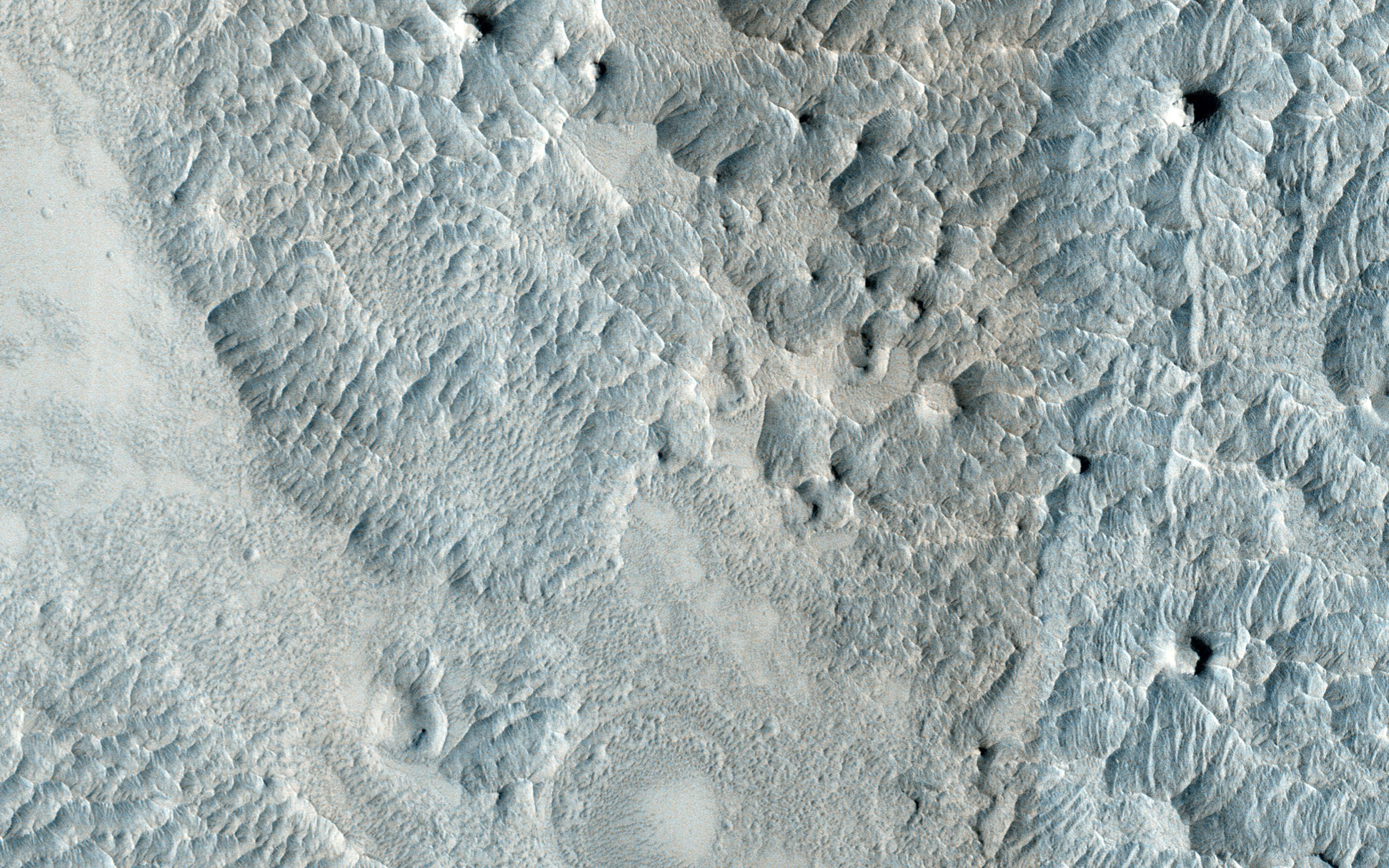
Click on the image for larger versionThis image, approximately 1.5 x 3 kilometers, shows a sample of eroded Martian terrain in Arabia Terra.
At one time this was a flat smooth terrain, but over time it has been eroded (most likely by the wind) forming depressed, low-lying areas where we see many small dunes. The dunes resemble waves in the ocean, whereas in other areas we see small flat-top hills forming.
HiRISE is one of six instruments on NASA's Mars Reconnaissance Orbiter. The University of Arizona, Tucson, operates HiRISE, which was built by Ball Aerospace & Technologies Corp., Boulder, Colorado. NASA's Jet Propulsion Laboratory, a division of the California Institute of Technology in Pasadena, manages the Mars Reconnaissance Orbiter Project for NASA's Science Mission Directorate, Washington.