
Map Projected Browse Image
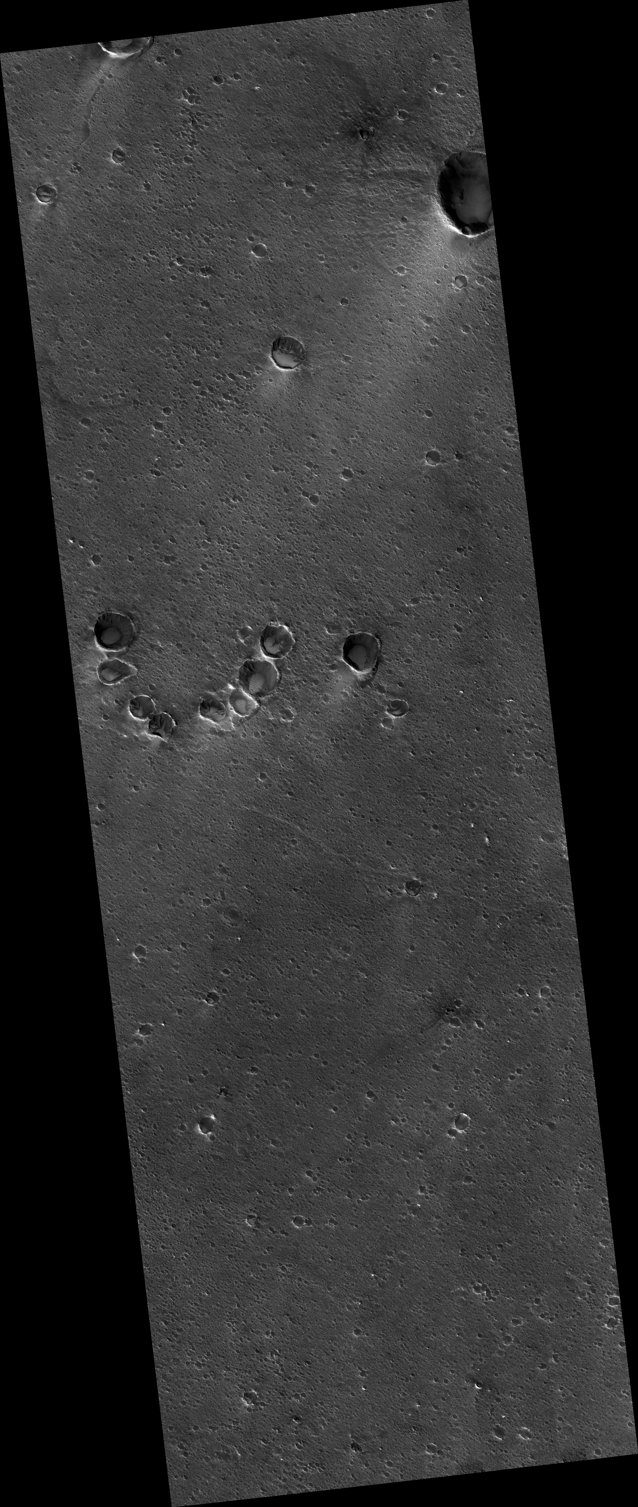
Click on the image for larger versionWe previously released an image near the Ares 3 landing site from "The Martian" by Andy Weir. Andy then sent us the exact coordinates, which we targeted, and this is it.
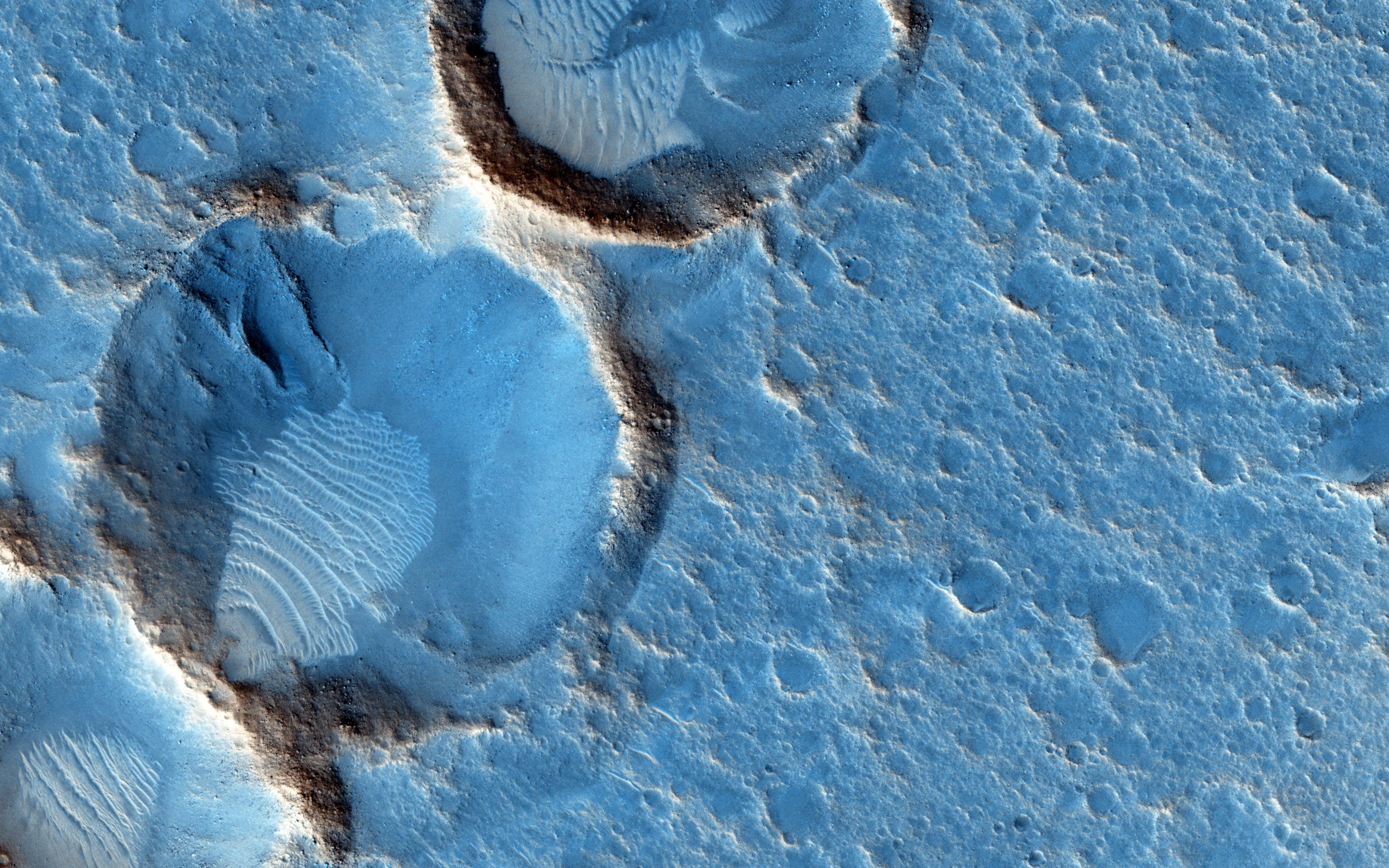
This closeup shows some wind-blown deposits inside eroded craters. We can't see the Ares 3 habitat because it arrives sometime in the future, so this is the "before" image. The dark areas appear bluish in HiRISE color but would appear grey to humans on the surface, or maybe a bit reddish when the air is dusty.Ares 3's 6-meter-diameter habitat would be just 20 pixels across at this scale, about 1/10th the diameter of the largest crater in the central cluster. If protagonist Mark Watney were laying flat on the surface, he would be 6 pixels tall.
The University of Arizona, Tucson, operates HiRISE, which was built by Ball Aerospace & Technologies Corp., Boulder, Colorado. NASA's Jet Propulsion Laboratory, a division of the California Institute of Technology in Pasadena, manages the Mars Reconnaissance Orbiter Project and Mars Science Laboratory Project for NASA's Science Mission Directorate, Washington.
