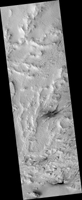
Map Projected Browse Image
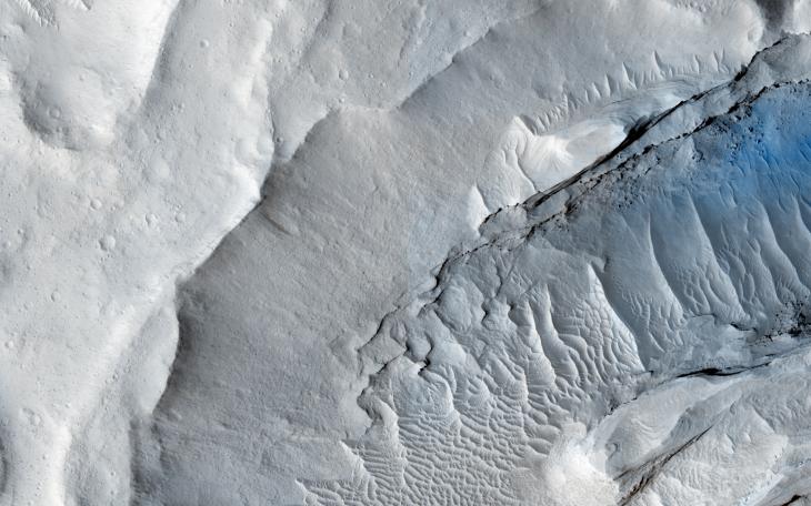
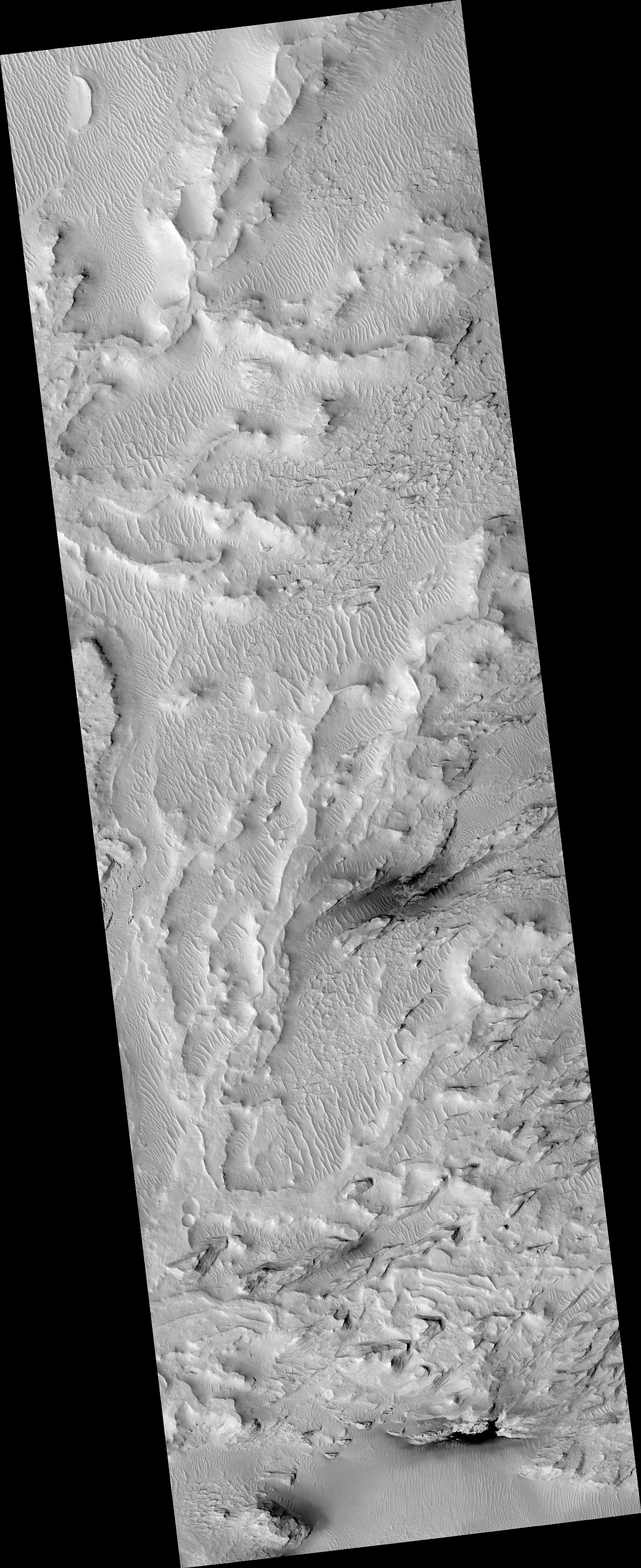
Click on the image for larger versionA delta is a pile of sediment dumped by a river where it enters a standing body of water. Evidence for deltas that formed billions of years ago on Mars has been mounting in recent years.
One line of evidence not yet investigated is to search for what are called clinoforms. In geology, a clinoform refers to a steep slope of sediment on the outer margin of a delta. This image seeks to test whether those features are visible and help confirm that Mars in ancient times had a standing body of water in this location.
For a bit more information on what a clinform looks like, see this page.
This caption is based on the original science rationale.
The University of Arizona, Tucson, operates HiRISE, which was built by Ball Aerospace & Technologies Corp., Boulder, Colorado. NASA's Jet Propulsion Laboratory, a division of the California Institute of Technology in Pasadena, manages the Mars Reconnaissance Orbiter Project and Mars Science Laboratory Project for NASA's Science Mission Directorate, Washington.