|
Your search criteria found 2596 images Target is Earth (and available satellites) |
| My List |
Addition Date | Target | Mission | Instrument |
Size
|

|
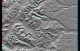
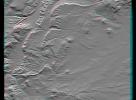
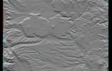
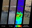
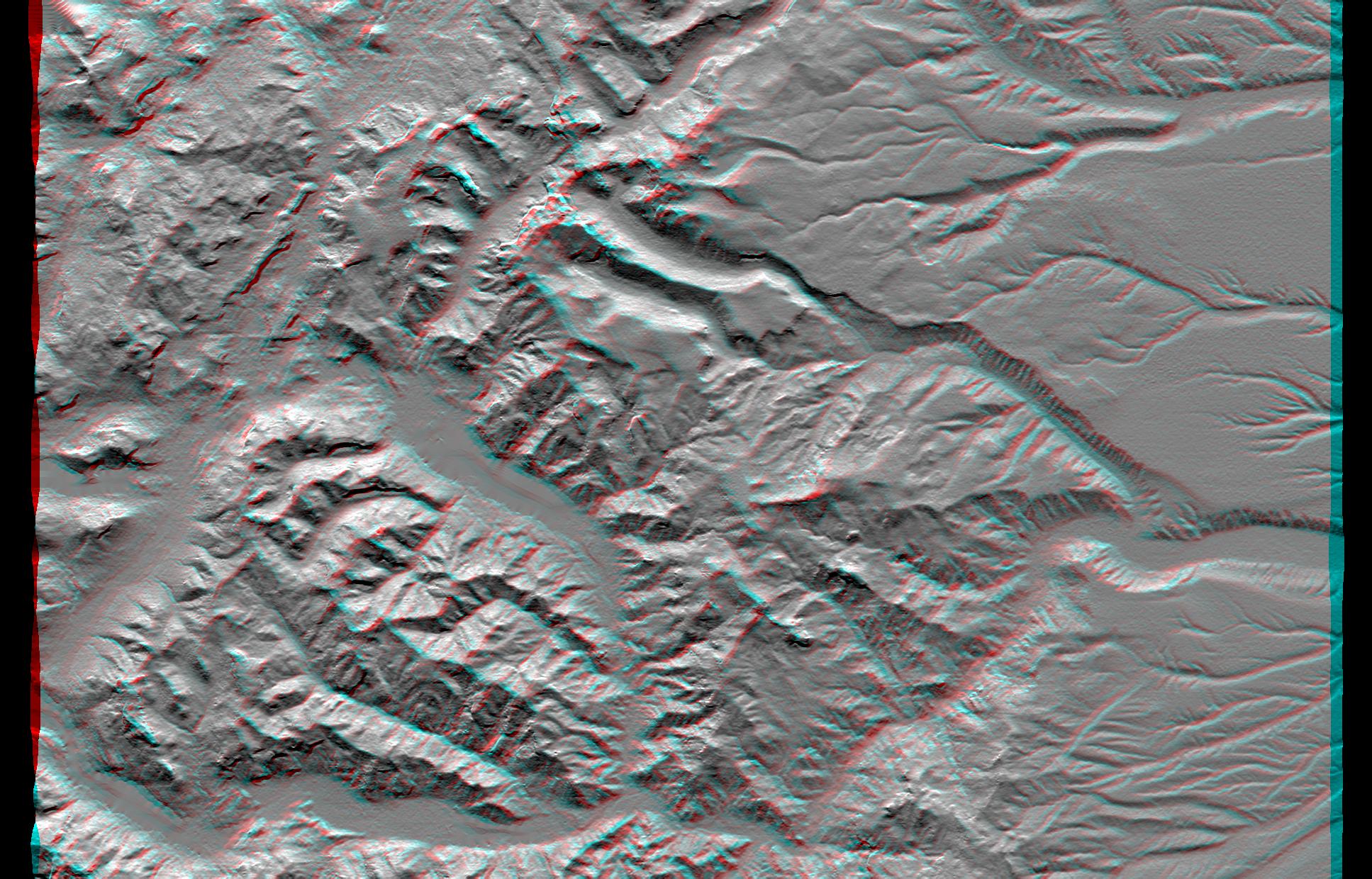
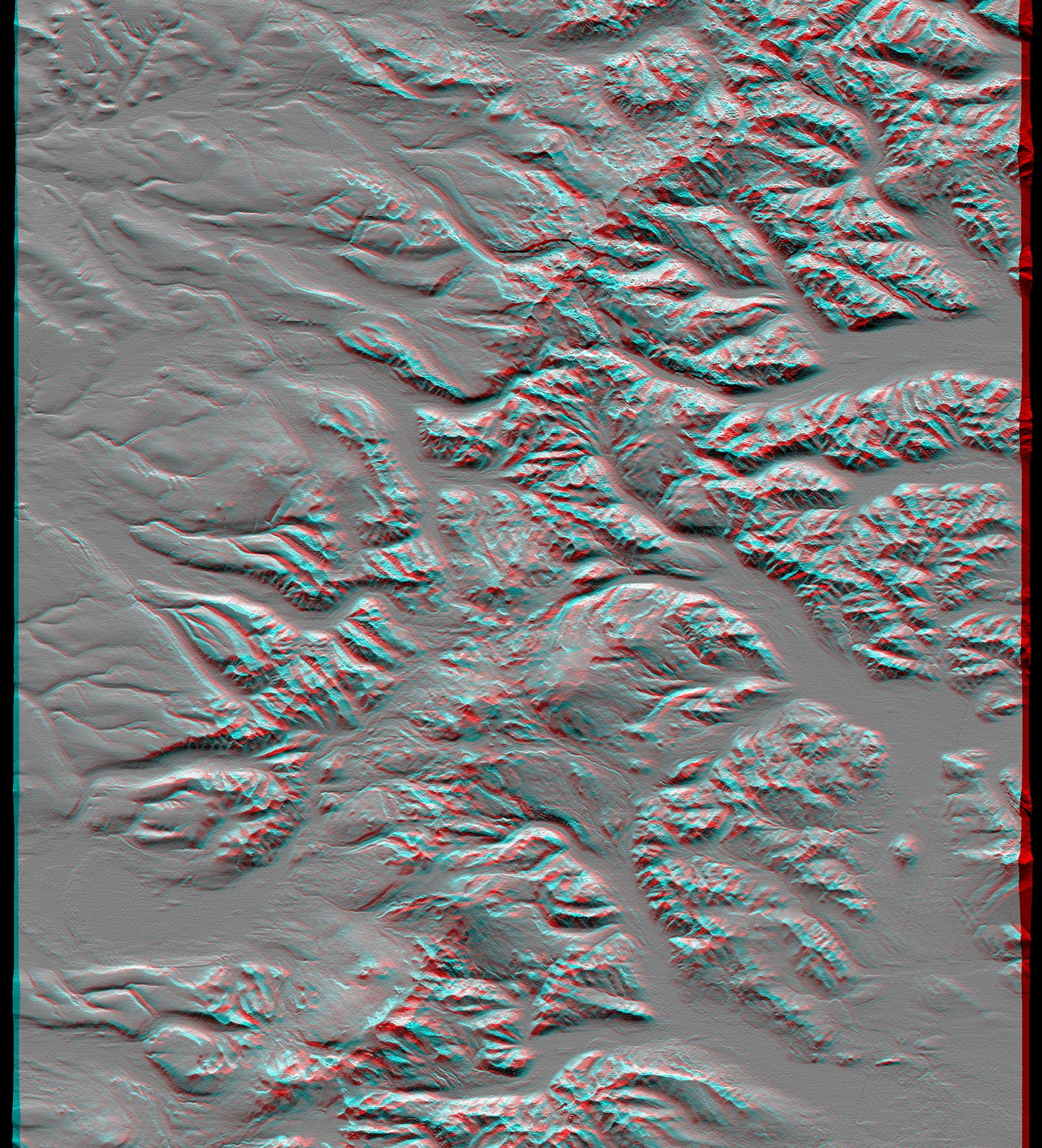
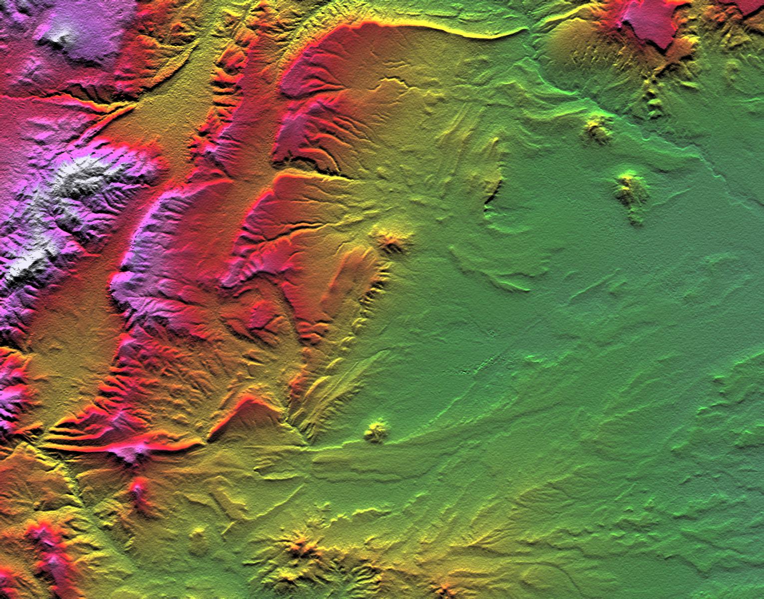
2001-06-14 | Earth |
Shuttle Radar Topography Mission (SRTM) |
C-Band Interferometric Radar |
1835x1240x3 |

|
|||||
|
|
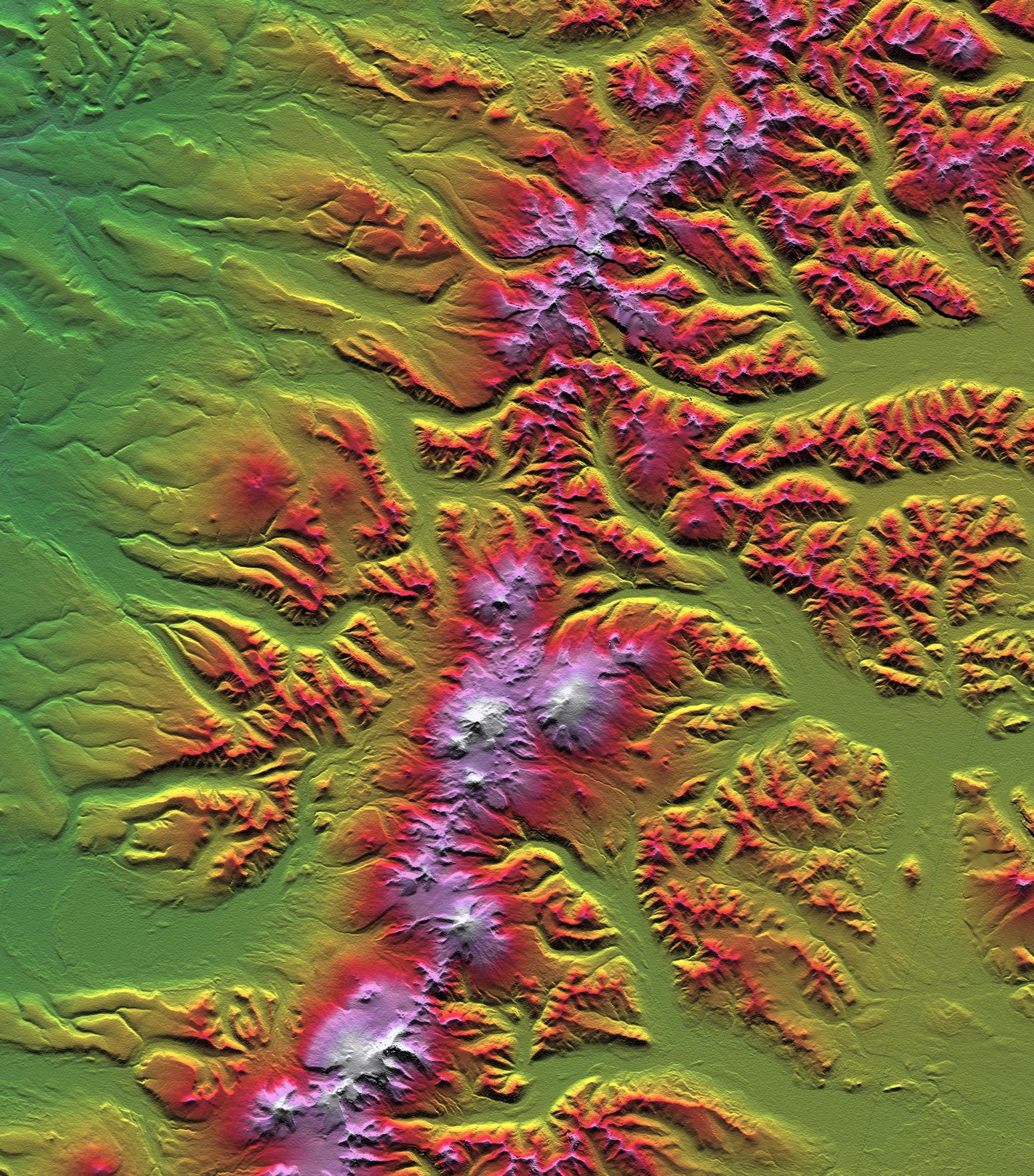
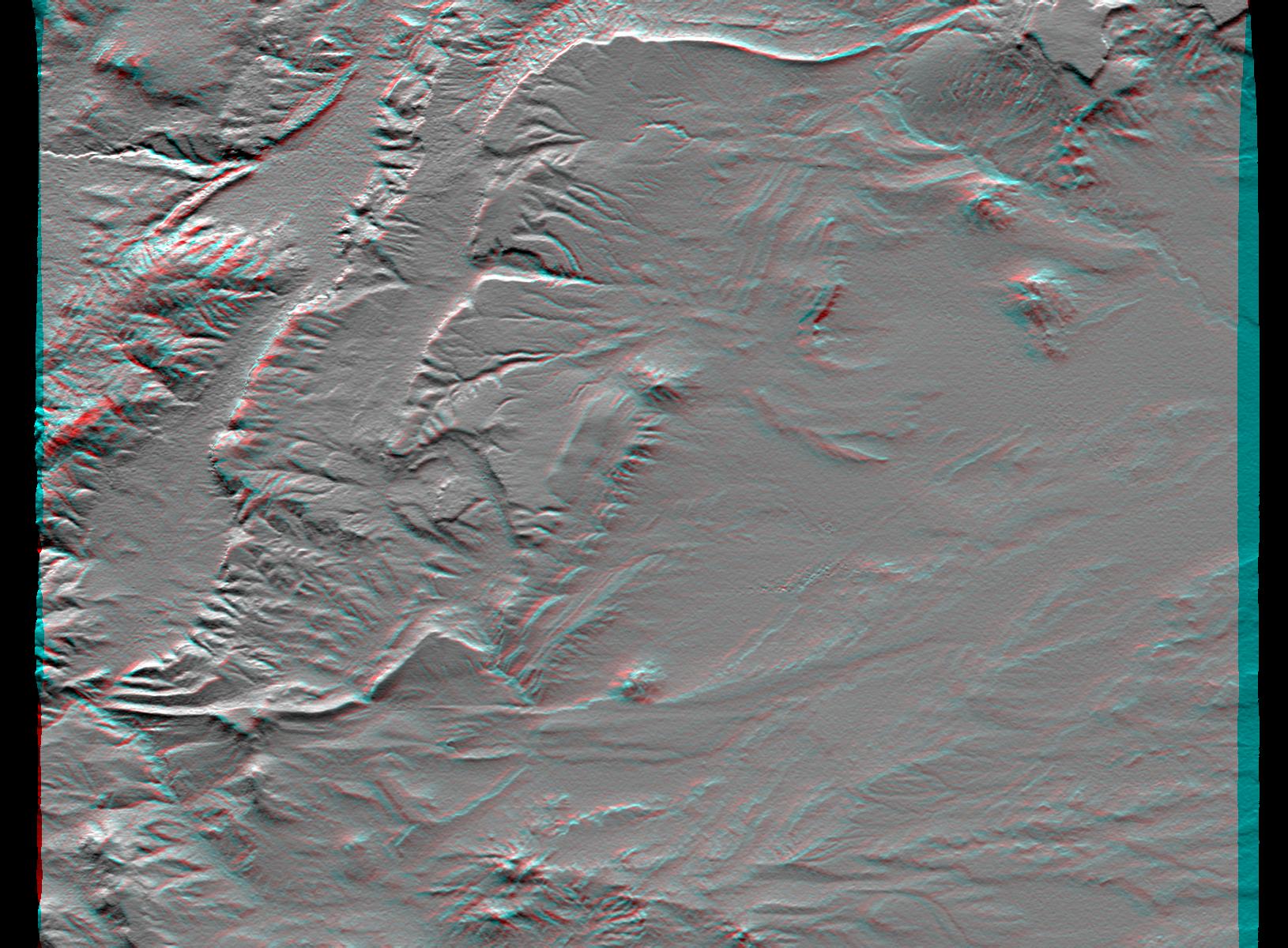
2001-06-14 | Earth |
Shuttle Radar Topography Mission (SRTM) |
C-Band Interferometric Radar |
1935x1240x3 |
|
|||||
|
|
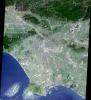
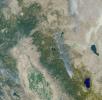
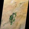
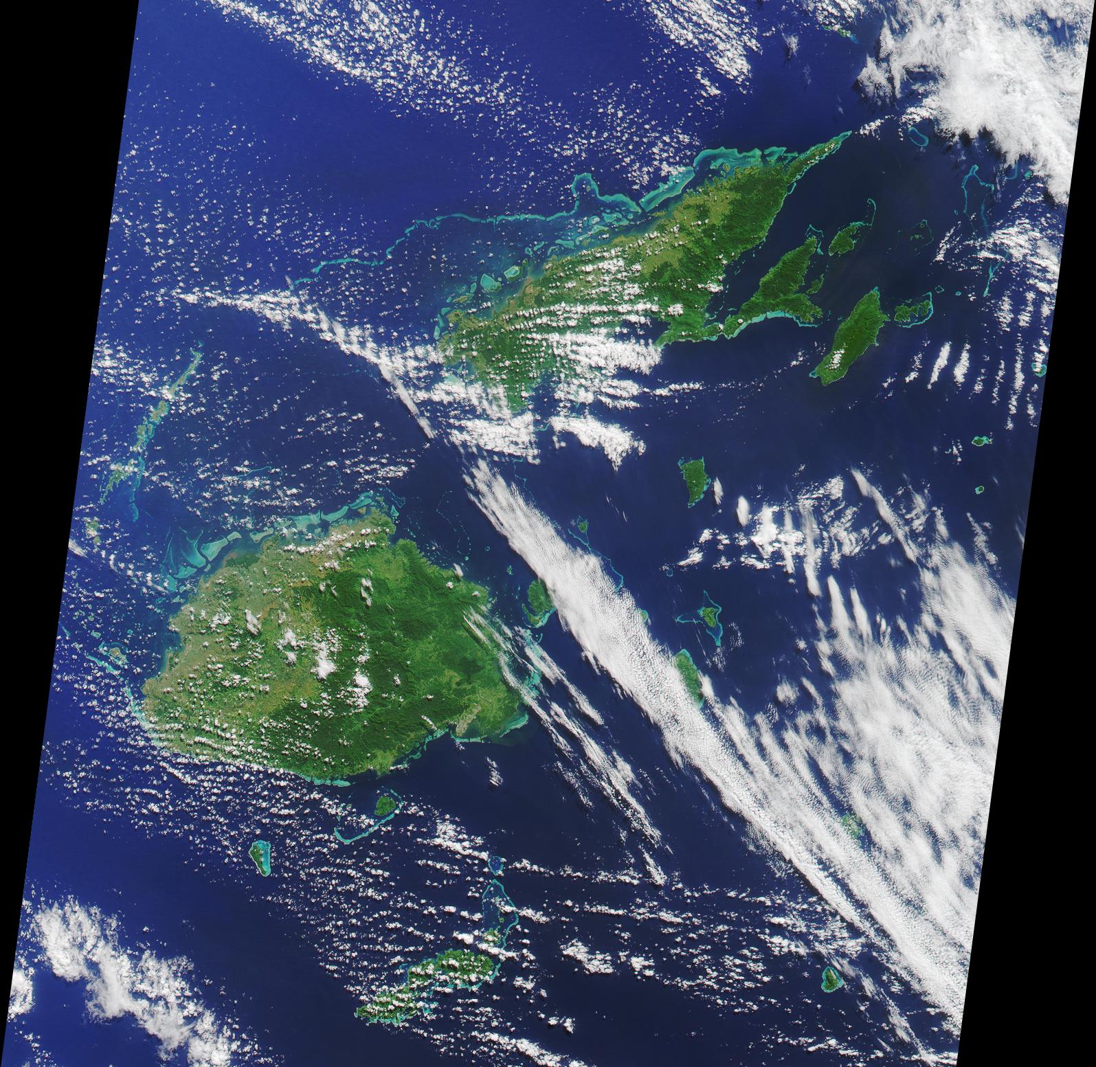
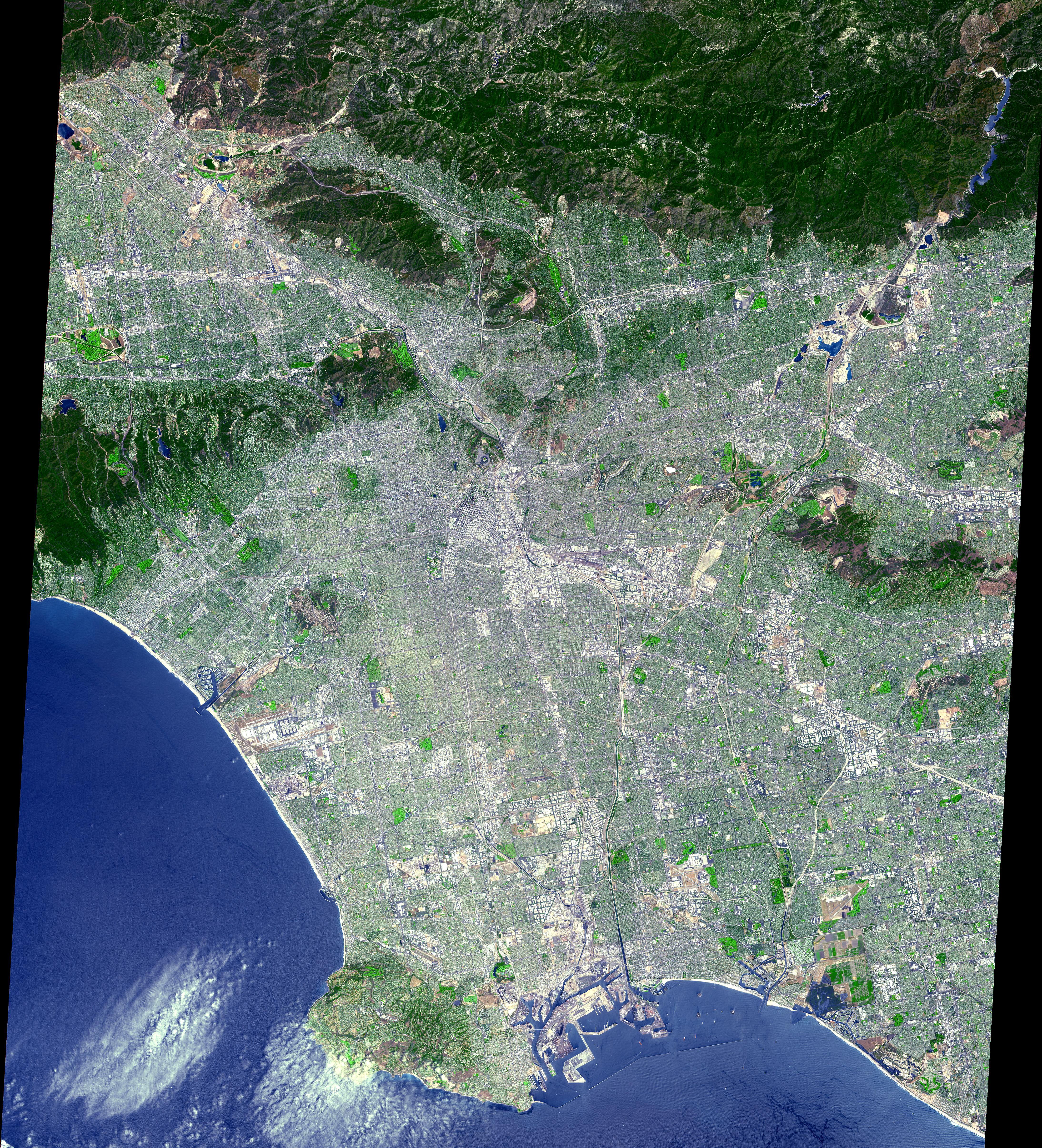
2001-06-20 | Earth |
Terra |
MISR |
1356x1932x3 |
|
|||||
|
|
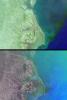
2001-06-22 | Earth |
Shuttle Radar Topography Mission (SRTM) |
C-Band Interferometric Radar |
1240x900x3 |
|
|||||
|
|
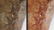
2001-06-27 | Earth |
Terra |
MISR |
1595x1553x3 |

|
|||||
|
|
2001-07-02 | Earth |
Terra |
MISR |
1215x1191x3 |

|
|||||
|
|
2001-07-05 | Earth |
Shuttle Radar Topography Mission (SRTM) |
C-Band Interferometric Radar |
1600x1763x3 |
|
|||||
|
|
2001-07-05 | Earth |
Shuttle Radar Topography Mission (SRTM) |
C-Band Interferometric Radar |
1550x1763x3 |
|
|||||
|
|
2001-07-11 | Earth |
Terra |
MISR |
1434x1232x3 |
|
|||||
|
|
2001-07-18 | Earth |
Terra |
MISR |
1712x1204x3 |
|
|||||
|
|
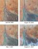
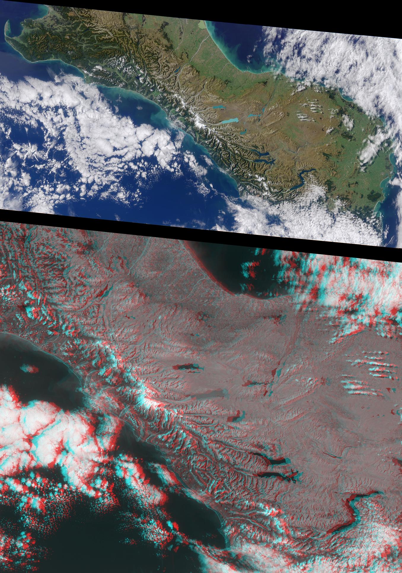
2001-07-19 | Earth |
Landsat Shuttle Radar Topography Mission (SRTM) |
C-Band Interferometric Radar Thematic Mapper |
1152x870x3 |
|
|||||
|
|
2001-07-19 | Earth |
Landsat Shuttle Radar Topography Mission (SRTM) |
C-Band Interferometric Radar Thematic Mapper |
1152x870x3 |
|
|||||
|
|
2001-07-21 | Earth |
Terra |
ASTER |
1228x709x3 |
|
|||||
|
|
2001-07-21 | Earth |
Terra |
ASTER |
1282x1603x3 |

|
|||||
|
|
2001-07-21 | Earth |
Terra |
ASTER |
4368x4140x3 |
|
|||||
|
|
2001-07-21 | Earth |
Terra |
ASTER |
2000x1500x3 |

|
|||||
|
|
2001-07-21 | Earth |
Terra |
ASTER |
800x800x3 |
|
|||||
|
|
2001-07-21 | Earth |
Terra |
ASTER |
2412x1925x3 |
|
|||||
|
|
2001-07-21 | Earth |
Terra |
ASTER |
4048x3824x3 |
|
|||||
|
|
2001-07-21 | Earth |
Terra |
ASTER |
4200x3600x3 |
|
|||||
|
|
2001-07-21 | Earth |
Terra |
ASTER |
1191x1230x3 |
|
|||||
|
|
2001-07-21 | Earth |
Terra |
ASTER |
516x946x3 |

|
|||||
|
|
2001-07-25 | Earth |
Terra |
MISR |
1594x1444x3 |
|
|||||
|
|
2001-07-26 | Earth |
Terra |
ASTER |
2000x2011x3 |
|
|||||
|
|
2001-07-26 | Earth |
Shuttle Radar Topography Mission (SRTM) |
C-Band Interferometric Radar |
2020x1350x3 |
|
|||||
|
|
2001-07-26 | Earth |
Shuttle Radar Topography Mission (SRTM) |
C-Band Interferometric Radar |
1920x1350x3 |
|
|||||
|
|
2001-08-01 | Earth |
Terra |
ASTER |
2000x2400x3 |
|
|||||
|
|
2001-08-01 | Earth |
Terra |
MISR |
1736x1328x3 |
|
|||||
|
|
2001-08-03 | Earth |
Shuttle Radar Topography Mission (SRTM) |
C-Band Interferometric Radar |
7201x3601x3 |
|
|||||
|
|
2001-08-03 | Earth |
Shuttle Radar Topography Mission (SRTM) |
C-Band Interferometric Radar |
2501x1201x3 |
|
|||||
|
|
2001-08-03 | Earth |
Landsat Shuttle Radar Topography Mission (SRTM) |
C-Band Interferometric Radar Thematic Mapper |
1152x870x3 |
|
|||||
|
|
2001-08-03 | Earth |
Terra |
ASTER |
1600x2000x3 |
|
|||||
|
|
2001-08-03 | Earth |
Terra |
ASTER |
576x720x3 |
|
|||||
|
|
2001-08-08 | Earth |
Terra |
MISR |
1292x1044x3 |
|
|||||
|
|
2001-08-15 | Earth |
Terra |
MISR |
1290x890x3 |

|
|||||
|
|
2001-08-16 | Earth |
Shuttle Radar Topography Mission (SRTM) |
C-Band Interferometric Radar |
1040x1480x3 |
|
|||||
|
|
2001-08-16 | Earth |
Shuttle Radar Topography Mission (SRTM) |
C-Band Interferometric Radar |
1090x1480x3 |
|
|||||
|
|
2001-08-22 | Earth |
Terra |
MISR |
1480x1952x3 |
|
|||||
|
|
2001-08-24 | Earth |
Shuttle Radar Topography Mission (SRTM) |
C-Band Interferometric Radar |
1530x1200x3 |
|
|||||
|
|
2001-08-24 | Earth |
Shuttle Radar Topography Mission (SRTM) |
C-Band Interferometric Radar |
1630x1200x3 |
|
|||||
|
|
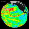
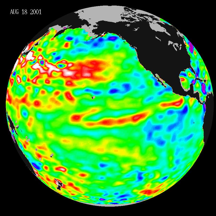
2001-08-27 | Earth |
TOPEX/Poseidon |
Altimeter |
900x900x3 |
|
|||||
|
|
2001-08-27 | Earth |
Terra |
ASTER |
4376x4820x3 |
|
|||||
|
|
2001-08-29 | Earth |
Terra |
MISR |
983x1250x3 |
|
|||||
|
|
2001-09-01 | Earth |
Shuttle Radar Topography Mission (SRTM) |
C-Band Interferometric Radar |
1910x1215x3 |
|
|||||
|
|
2001-09-01 | Earth |
Shuttle Radar Topography Mission (SRTM) |
C-Band Interferometric Radar |
1810x1215x3 |

|
|||||
|
|
2001-09-05 | Earth |
Terra |
MISR |
1223x1208x3 |
|
|||||
|
|
2001-09-13 | Earth |
Terra |
MISR |
1268x1908x3 |
|
|||||
|
|
2001-09-19 | Earth |
Terra |
MISR |
1737x981x3 |
|
|||||
|
|
2001-09-26 | Earth |
Terra |
MISR |
1290x1510x3 |

|
|||||
|
|
2001-10-04 | Earth |
Terra |
MISR |
1700x1456x3 |
|
|||||
|
|
2001-10-10 | Earth |
Terra |
MISR |
730x900x3 |
|
|||||
|
|
2001-10-17 | Earth |
Terra |
MISR |
846x606x3 |

|
|||||
|
|
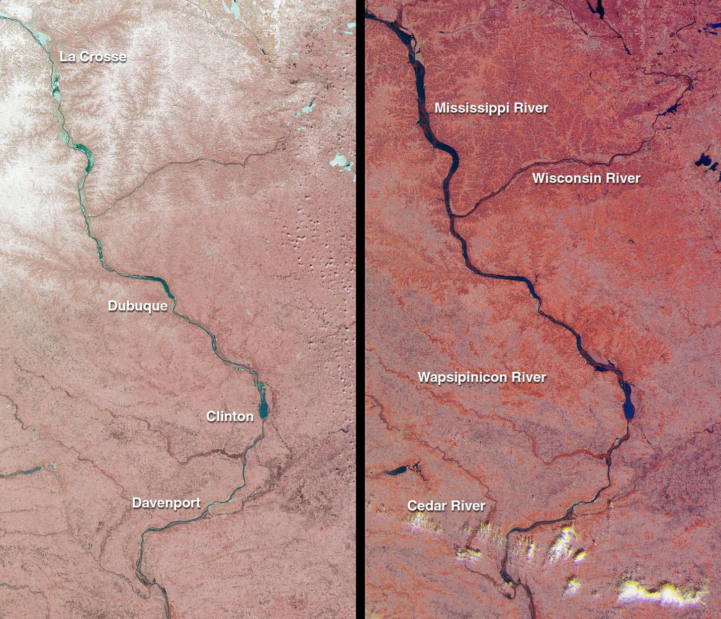
2001-10-17 | Earth |
European Remote Sensing Satellite Mission (ERS) |
2380x3122x3 | |
|
|||||
|
|
2001-10-22 | Earth |
Terra |
ASTER |
2000x1500x3 |

|
|||||
|
|
2001-10-22 | Earth |
Terra |
ASTER |
837x690x3 |

|
|||||
|
|
2001-10-22 | Earth |
Terra |
ASTER |
4100x4200x3 |
|
|||||
|
|
2001-10-22 | Earth |
Terra |
ASTER |
1388x1167x3 |
|
|||||
|
|
2001-10-22 | Earth |
Terra |
ASTER |
2000x2500x3 |
|
|||||
|
|
2001-10-22 | Earth |
Terra |
ASTER |
3002x2477x3 |
|
|||||
|
|
2001-10-22 | Earth |
Terra |
ASTER |
1694x921x3 |
|
|||||
|
|
2001-10-22 | Earth |
Terra |
ASTER |
600x540x3 |

|
|||||
|
|
2001-10-22 | Earth |
Terra |
ASTER |
1300x1000x3 |
|
|||||
|
|
2001-10-22 | Earth |
Terra |
ASTER |
2547x3222x1 |

|
|||||
|
|
2001-10-22 | Earth |
Terra |
ASTER |
2254x1887x3 |
|
|||||
|
|
2001-10-22 | Earth |
Terra |
ASTER |
1273x925x3 |
|
|||||
|
|
2001-10-22 | Earth |
Terra |
ASTER |
700x800x3 |

|
|||||
|
|
2001-10-22 | Earth |
Terra |
ASTER |
1000x700x3 |
|
|||||
|
|
2001-10-22 | Earth |
Terra |
ASTER |
1800x2200x3 |
|
|||||
|
|
2001-10-22 | Earth |
Terra |
ASTER |
3636x4008x3 |
|
|||||
|
|
2001-10-22 | Earth |
Terra |
ASTER |
713x729x3 |

|
|||||
|
|
2001-10-22 | Earth |
Terra |
ASTER |
1200x1354x3 |
|
|||||
|
|
2001-10-22 | Earth |
Terra |
ASTER |
1567x1811x3 |
|
|||||
|
|
2001-10-22 | Earth |
Terra |
ASTER |
3851x2645x3 |

|
|||||
|
|
2001-10-22 | Earth |
Terra |
ASTER |
1711x1575x3 |
|
|||||
|
|
2001-10-22 | Earth |
Terra |
ASTER |
1960x2100x3 |
|
|||||
|
|
2001-10-22 | Earth |
Terra |
ASTER |
3138x2611x3 |
|
|||||
|
|
2001-10-22 | Earth |
Terra |
ASTER |
340x256x3 |

|
|||||
|
|
2001-10-22 | Earth |
Terra |
ASTER |
2280x3887x3 |

|
|||||
|
|
2001-10-22 | Earth |
Terra |
ASTER |
1528x1322x3 |
|
|||||
|
|
2001-10-24 | Earth |
Terra |
MISR |
1864x1659x3 |
|
|||||
|
|
2001-10-31 | Earth |
Terra |
MISR |
1605x1650x3 |
|
|||||
|
|
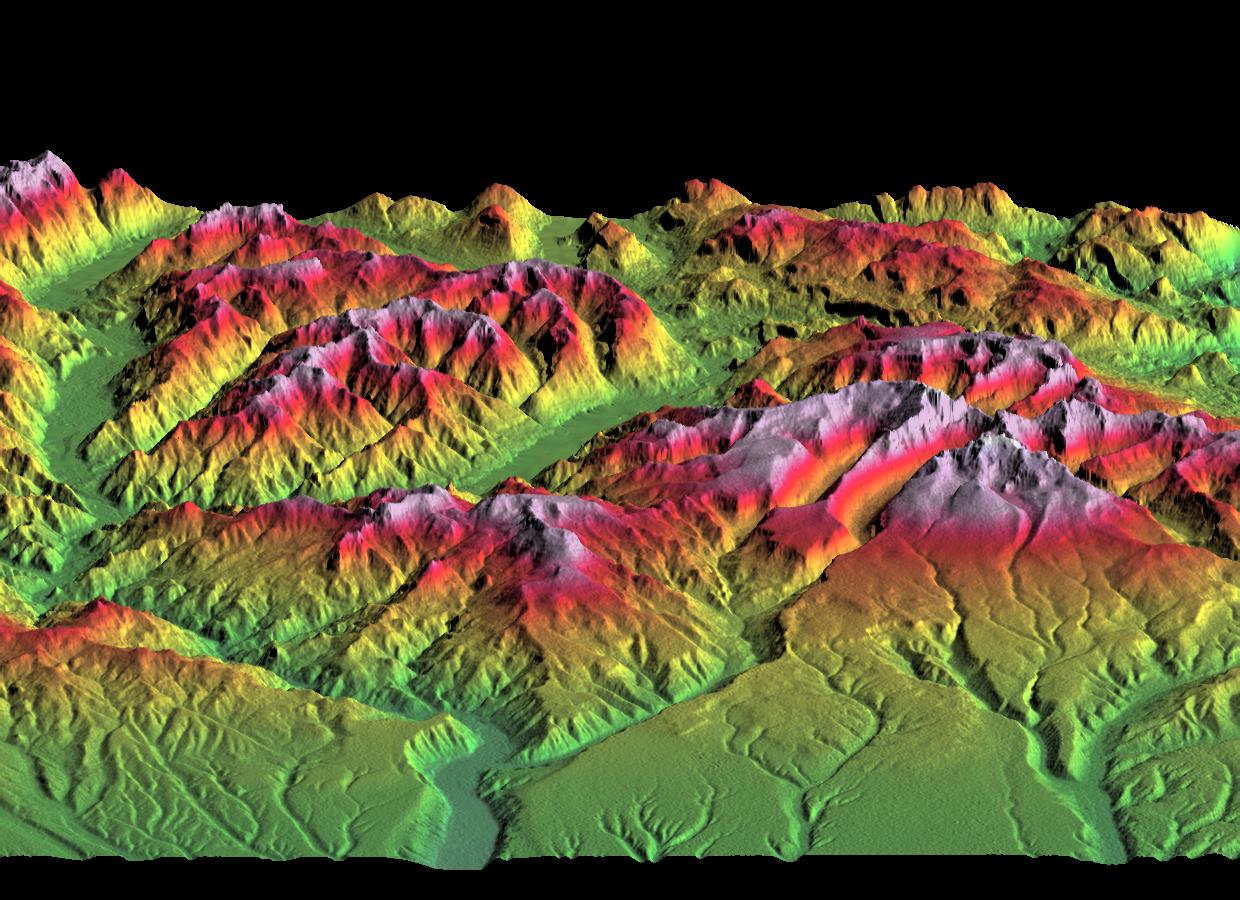
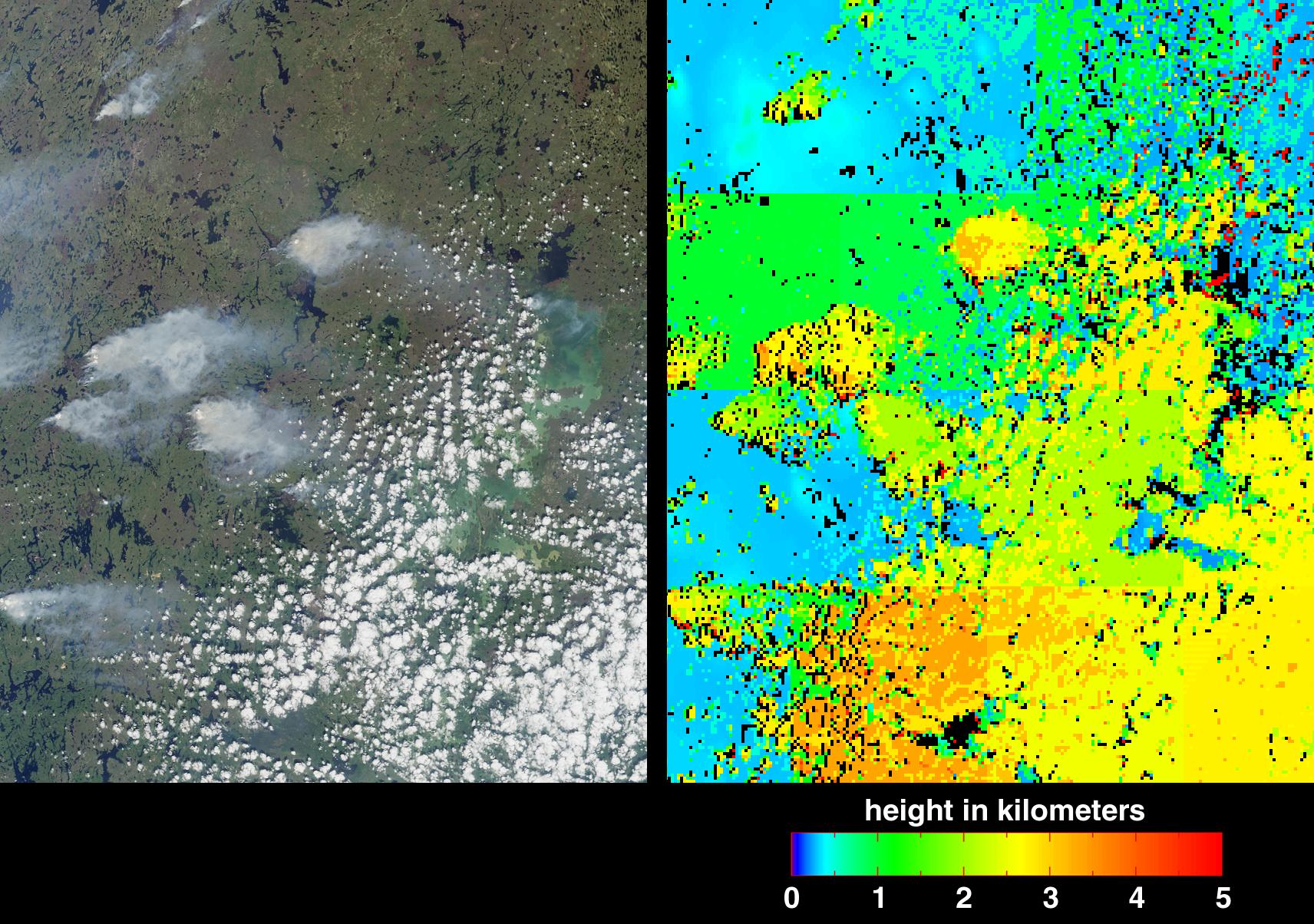
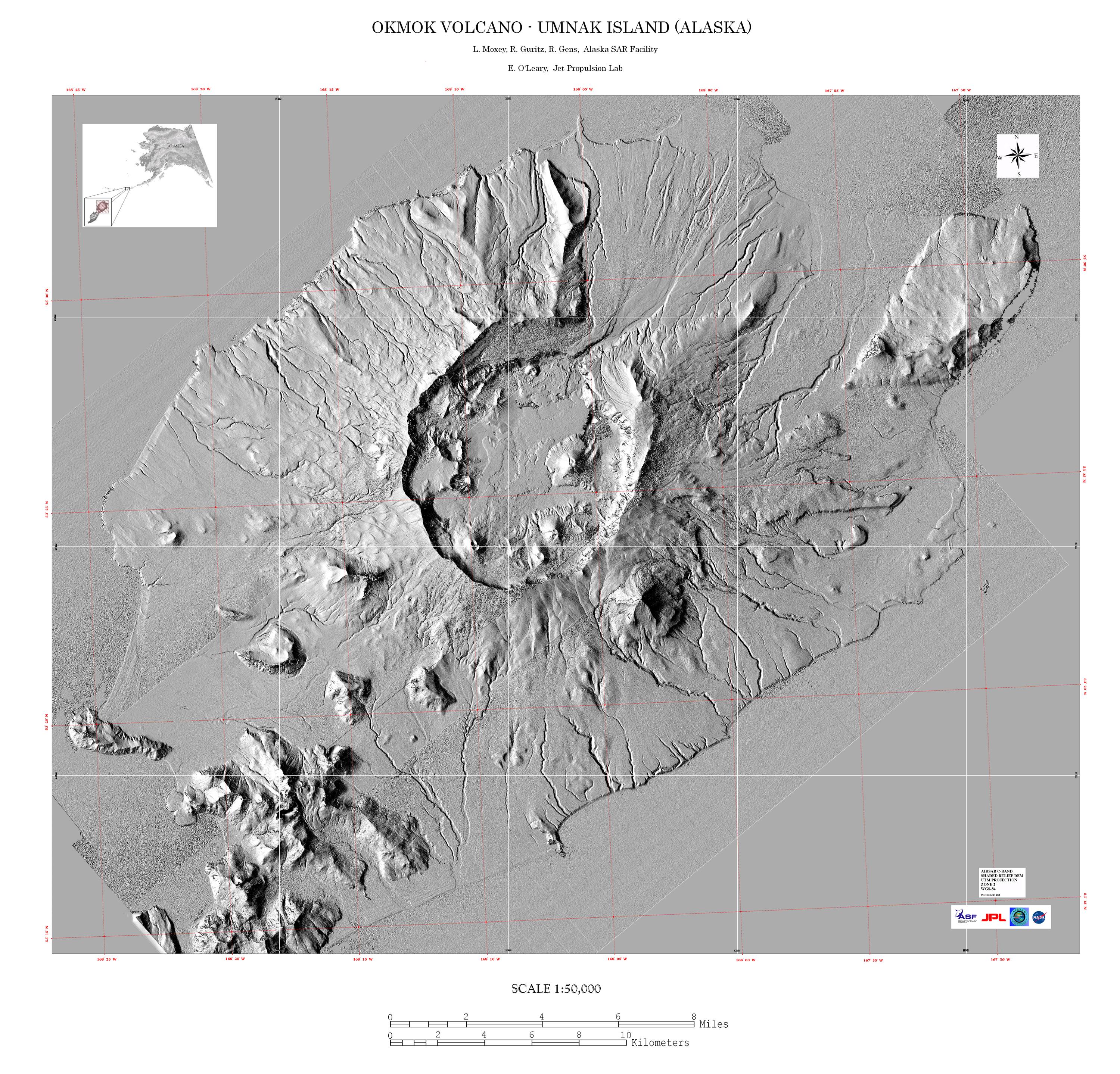
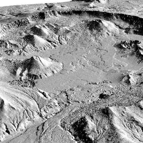
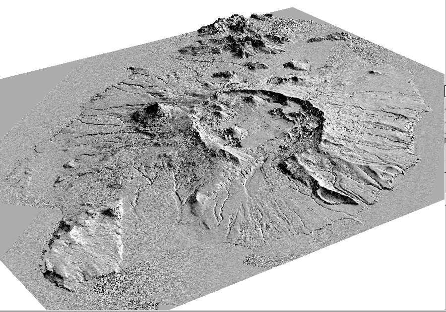
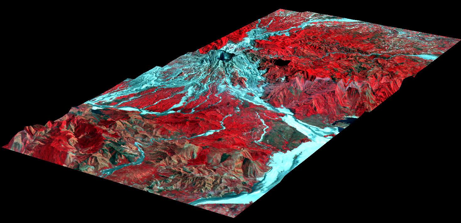
2001-11-04 | Earth |
Airborne Synthetic Aperture Radar (AIRSAR) |
AirSAR |
899x630x3 |
|
|||||
|
|
2001-11-04 | Earth |
Airborne Synthetic Aperture Radar (AIRSAR) |
AirSAR |
899x630x3 |
|
|||||
|
|
2001-11-04 | Earth |
Airborne Synthetic Aperture Radar (AIRSAR) |
AirSAR |
3000x2878x3 |
|
|||||
|
|
2001-11-04 | Earth |
Airborne Synthetic Aperture Radar (AIRSAR) |
AirSAR |
597x597x1 |
|
|||||
|
|
2001-11-04 | Earth |
Airborne Synthetic Aperture Radar (AIRSAR) |
AirSAR |
899x630x1 |
|
|||||
|
|
2001-11-04 | Earth |
Airborne Synthetic Aperture Radar (AIRSAR) |
AirSAR |
1467x711x3 |
|
|||||
|
|
2001-11-04 | Earth |
Airborne Synthetic Aperture Radar (AIRSAR) |
AirSAR |
1000x875x3 |
|
|||||
|
|
2001-11-07 | Earth |
Terra |
MISR |
1276x1731x3 |
|
|||||
|
|
2001-11-07 | Earth |
TOPEX/Poseidon |
Altimeter |
900x900x3 |
|
|||||
|
|
2001-11-14 | Earth |
Terra |
MISR |
822x432x3 |
|
|||||
|
|
2001-11-21 | Earth |
Terra |
MISR |
1940x1200x3 |
|
|||||
|
|
2001-11-28 | Earth |
Terra |
MISR |
1698x2372x3 |
|
|||||
|
|
2001-12-05 | Earth |
Terra |
MISR |
1156x886x3 |
|
|||||
|
|
2001-12-12 | Earth |
Terra |
MISR |
1161x940x3 |
|
|||||
|
|
2001-12-19 | Earth |
Terra |
MISR |
1548x1713x3 |
|
|||||
|
|
2002-01-02 | Earth |
Terra |
MISR |
1484x1159x3 |
|
|||||
|
|
2002-01-03 | Earth |
Terra |
ASTER |
516x946x3 |

|
|||||
|
|
2002-01-09 | Earth |
Terra |
MISR |
2380x1360x3 |

|
|||||
|
|
2002-01-16 | Earth |
Terra |
MISR |
1728x1974x3 |
|
|||||

|
 |
|
|
|
|
 |
 |
|
|
|

|
| 1-100 | 101-200 | 201-300 | 301-400 | 401-500 | 501-600 | 601-700 | 701-800 | 801-900 | 901-1000 |
| Currently displaying images: 501 - 600 of 2596 |