Your search criteria found
561
images
Feature Name
Go to PIAxxxxx:
Refine this list of images by:
Target:
Ceres
Dione
Earth
Enceladus
Eros
Europa
Hartley 2
Hyperion
Iapetus
Mars
Mercury
Mimas
Moon
Pan
Pandora
Phobos
Phoebe
Prometheus
Rhea
Sun
Tempel 1
Vesta
Wild 2
Mission:
2001 Mars Odyssey
Cassini-Huygens
Dawn
EPOXI
Galileo
Lunar Reconnaissance Orbiter (LRO)
MESSENGER
Mars 2020 Rover
Mars Exploration Rover (MER)
Mars Express (MEX)
Mars Global Surveyor (MGS)
Mars Helicopter
Mars Pathfinder (MPF)
Mars Reconnaissance Orbiter (MRO)
Mars Science Laboratory (MSL)
Mars Volcanic Emission Life Scout (MARVEL)
NEAR Shoemaker
Phoenix
Shuttle Radar Topography Mission (SRTM)
Solar TErrestrial RElations Observatory (STEREO)
Stardust
StardustNExT
Terra
Spacecraft:
2001 Mars Odyssey
Cassini Orbiter
Curiosity
Dawn
Deep Impact (DIXI)
Galileo Orbiter
Ingenuity
Lunar Reconnaissance Orbiter (LRO)
MESSENGER
Mars Global Surveyor Orbiter
Mars Pathfinder Lander
Mars Pathfinder Rover
Mars Reconnaissance Orbiter (MRO)
Mars Science Laboratory (MSL)
Mars Volcanic Emission Life Scout (MARVEL)
NEAR Shoemaker
Opportunity
Perseverance
Phoenix Mars Lander
Solar TErrestrial RElations Observatory (STEREO)
Space Shuttle Endeavour
Spirit
Stardust
Terra
Instrument:
Advanced Spaceborne Thermal Emission and Reflection Radiometer (ASTER)
C-Band Interferometric Radar
Framing Camera
Hazard Avoidance Camera
High Resolution Imaging Science Experiment (HiRISE)
Imager for Mars Pathfinder
Imaging Science Subsystem
Imaging Science Subsystem - Narrow Angle
Lunar Reconnaissance Orbiter Camera (NAC)
Mars Hand Lens Imager (MAHLI)
Mars Orbiter Camera (MOC)
Mars Volcanic Emission Life Scout (MARVEL)
Mastcam
Mastcam-Z
Medium Resolution Instrument (MRI)
Mercury Dual Imaging System - Narrow Angle
Microscopic Imager
Moessbauer Spectrometer
Multi-Spectral Imager
Multi-angle Imaging SpectroRadiometer (MISR)
Navigation Camera
Navigation Camera (MSL)
Panoramic Camera
SECCHI/Extreme Ultraviolet Imaging Telescope
Solid-State Imaging
Stardust Navigation Camera
Surface Stereo Imager (SSI)
Click on an image for detailed information
Click on a column heading to sort in ascending or descending order
My
List
Addition Date
Target
Mission
Instrument
Size
2008-07-28
Mars
Phoenix
Surface Stereo Imager (SSI)
3978x1926x3
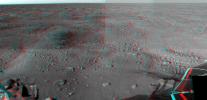
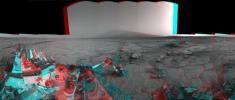
PIA10998:
Martian Surface as Seen by Phoenix
Full Resolution:
TIFF
(22.99 MB)
JPEG
(1.304 MB)
2008-08-26
Mars
Phoenix
Surface Stereo Imager (SSI)
1024x1024x3
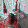
PIA11052:
Deep 'Stone Soup' Trenching by Phoenix (Stereo)
Full Resolution:
TIFF
(3.15 MB)
JPEG
(198 kB)
2008-09-01
Mars
Phoenix
Surface Stereo Imager (SSI)
512x512x3
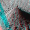
PIA11057:
Picking up Clues from the Discard Pile (Stereo)
Full Resolution:
TIFF
(787.5 kB)
JPEG
(86.78 kB)
2008-09-23
Mars
Phoenix
Robotic Arm
Surface Stereo Imager (SSI)
1024x1024x3
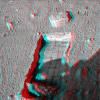
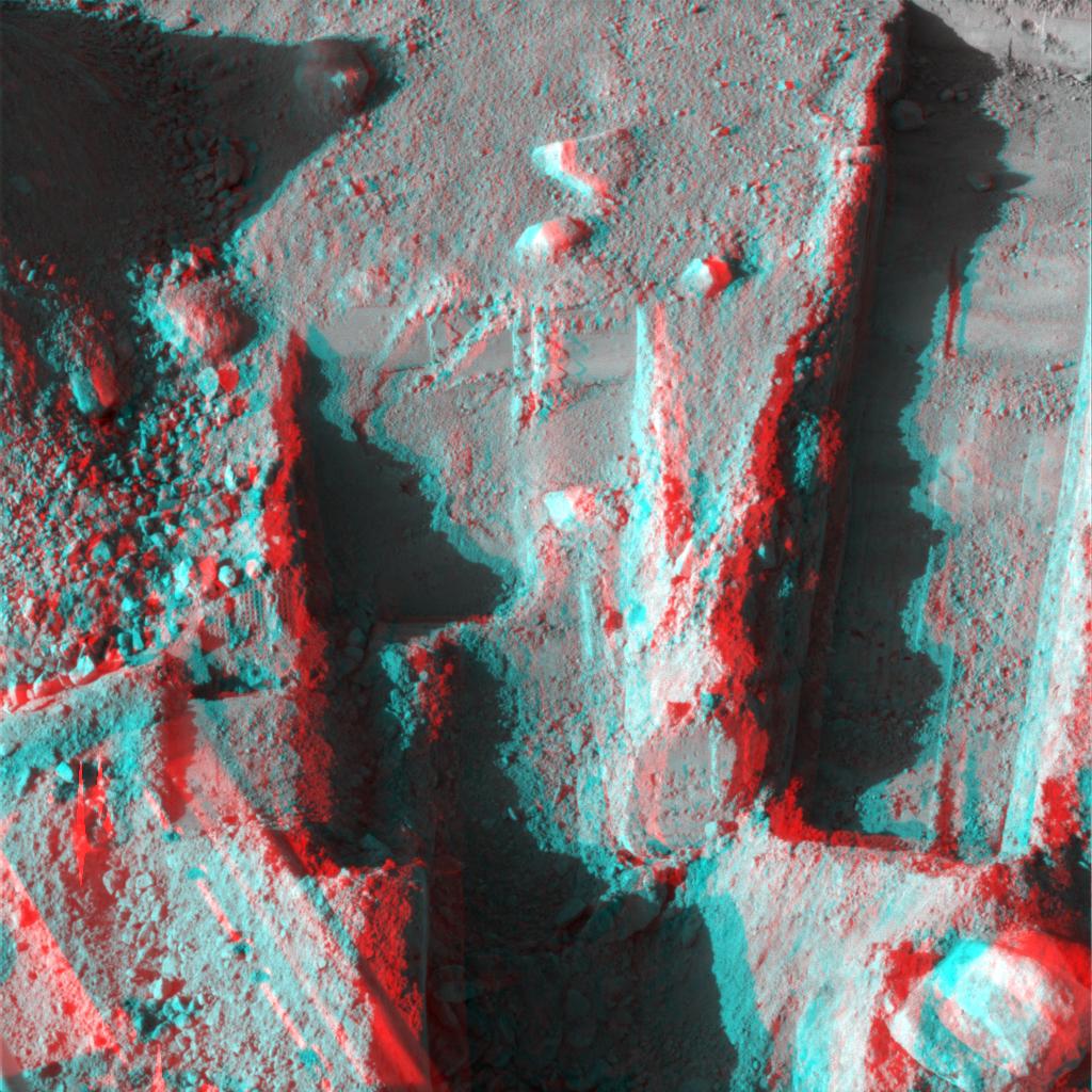
PIA11190:
Preparation for Moving a Rock on Mars, Stereo View
Full Resolution:
TIFF
(3.15 MB)
JPEG
(310.8 kB)
2008-09-23
Mars
Phoenix
Robotic Arm
Surface Stereo Imager (SSI)
1024x1024x3
PIA11192:
Rock Moved by Mars Lander Arm, Stereo View
Full Resolution:
TIFF
(3.15 MB)
JPEG
(244 kB)
2008-10-09
Mars
Phoenix
Surface Stereo Imager (SSI)
1024x512x3
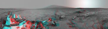
PIA11130:
Phoenix's La Mancha Trench in 3-D
Full Resolution:
TIFF
(1.575 MB)
JPEG
(122.6 kB)
2008-10-13
Mars
Phoenix
Surface Stereo Imager (SSI)
2500x367x3
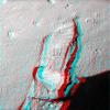
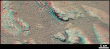
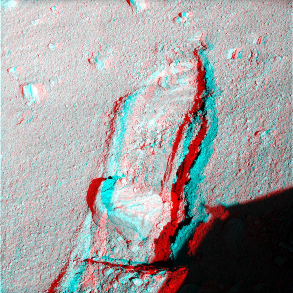
PIA11229:
Phoenix Trenches
Full Resolution:
TIFF
(2.756 MB)
JPEG
(102.7 kB)
2008-10-29
Mars
Phoenix
Surface Stereo Imager (SSI)
1024x1024x3
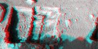
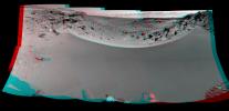
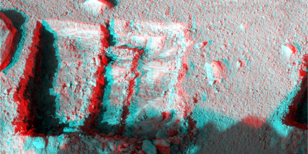
PIA11380:
Phoenix Deepens Trenches on Mars (3-D)
Full Resolution:
TIFF
(3.15 MB)
JPEG
(215 kB)
2008-10-29
Mars
Phoenix
Surface Stereo Imager (SSI)
1024x1024x3
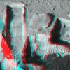
PIA11381:
Phoenix Deepens Trenches on Mars (3-D)
Full Resolution:
TIFF
(3.15 MB)
JPEG
(203.9 kB)
2000-05-07
Eros
NEAR Shoemaker
Multi-Spectral Imager
670x416x3
PIA02471:
Eros in Stereo
Full Resolution:
TIFF
(247.8 kB)
JPEG
(21.91 kB)
2000-05-07
Eros
NEAR Shoemaker
Multi-Spectral Imager
500x531x3
PIA02473:
Eros' Global Morphology
Full Resolution:
TIFF
(207.5 kB)
JPEG
(38.08 kB)
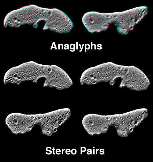
2001-02-17
Eros
NEAR Shoemaker
Multi-Spectral Imager
1093x1119x3
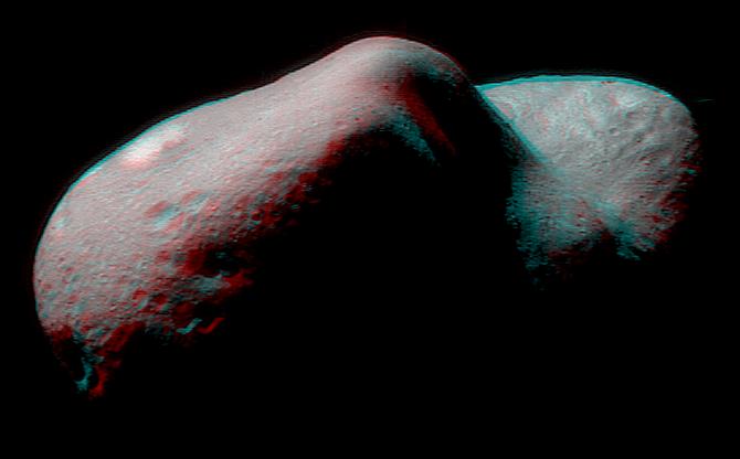
PIA03127:
The Saddle in 3-D
Full Resolution:
TIFF
(2.391 MB)
JPEG
(136.2 kB)
2008-09-09
Mercury
MESSENGER
MDIS - Narrow Angle
MDIS - Wide Angle
600x600x3
PIA11078:
Mercury - in 3-D!
Full Resolution:
TIFF
(1.081 MB)
JPEG
(60.73 kB)
2009-10-06
Mercury
MESSENGER
MDIS - Narrow Angle
1561x525x3
PIA12282:
Rembrandt in 3-D!
Full Resolution:
TIFF
(2.463 MB)
JPEG
(156.6 kB)
2011-11-15
Mercury
MESSENGER
MDIS - Narrow Angle
1641x1180x3
PIA15078:
Hurrah for the Red and the Blue
Full Resolution:
TIFF
(5.819 MB)
JPEG
(293.2 kB)
2013-04-11
Mercury
MESSENGER
MDIS - Narrow Angle
1392x1399x3
PIA16953:
A Mountain of Hollows (Anaglyph)
Full Resolution:
TIFF
(5.845 MB)
JPEG
(102.5 kB)
2013-04-12
Mercury
MESSENGER
MDIS - Narrow Angle
1208x1415x3
PIA16954:
Seeing to New Depths (Anaglyph)
Full Resolution:
TIFF
(5.13 MB)
JPEG
(127.1 kB)
2013-05-15
Mercury
MESSENGER
MDIS - Narrow Angle
1585x1713x3
PIA17055:
Kuiper³
Full Resolution:
TIFF
(8.148 MB)
JPEG
(180.6 kB)
2013-06-26
Mercury
MESSENGER
MDIS - Narrow Angle
1500x1502x3
PIA17297:
Peaking Out -- in 3-D!
Full Resolution:
TIFF
(6.762 MB)
JPEG
(172.3 kB)
2013-08-02
Mercury
MESSENGER
MDIS - Narrow Angle
1307x1284x3
PIA17399:
Nothing Sleepy About These Hollows!
Full Resolution:
TIFF
(5.036 MB)
JPEG
(110.3 kB)
2013-08-08
Mercury
MESSENGER
MDIS - Narrow Angle
1154x1134x3
PIA17403:
Joplin's Central Peak
Full Resolution:
TIFF
(3.927 MB)
JPEG
(178.1 kB)
2013-09-24
Mercury
MESSENGER
MDIS - Narrow Angle
1237x1494x3
PIA17503:
And in 3-D!
Full Resolution:
TIFF
(5.546 MB)
JPEG
(111.2 kB)
2014-04-21
Mercury
MESSENGER
MDIS - Narrow Angle
898x897x3
PIA18216:
A Puzzling Peak
Full Resolution:
TIFF
(2.418 MB)
JPEG
(102.3 kB)
2014-04-29
Mercury
MESSENGER
MDIS - Narrow Angle
925x867x3
PIA18231:
Cuts Right Through
Full Resolution:
TIFF
(2.407 MB)
JPEG
(169.5 kB)
2014-09-22
Mercury
MESSENGER
MDIS - Narrow Angle
874x1101x3
PIA18717:
Paramour Rupes in 3-D
Full Resolution:
TIFF
(2.888 MB)
JPEG
(142.2 kB)
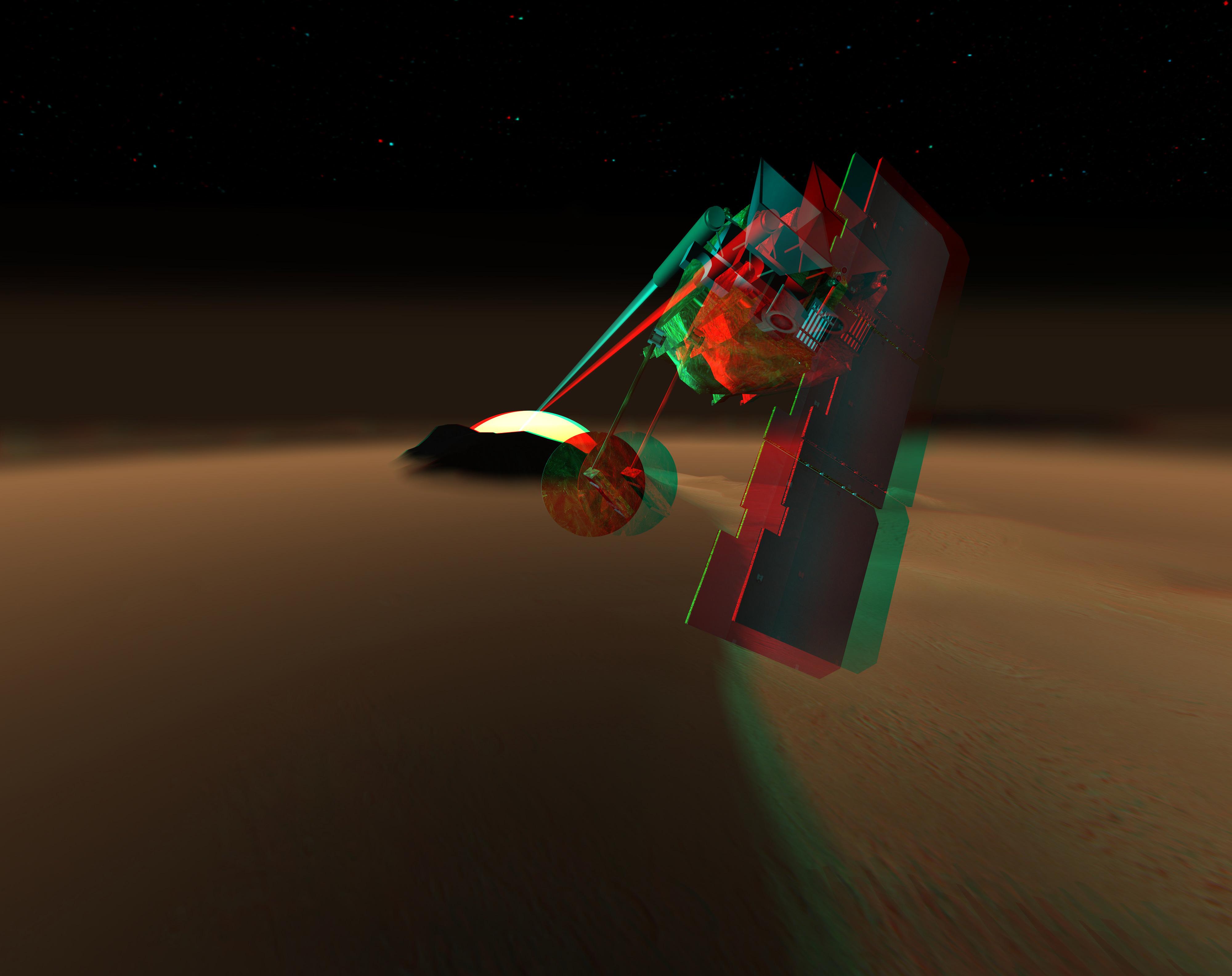
2004-12-21
Mars Volcanic Emission Life Scout (MARVEL)
Mars Volcanic Emission Life Scout (MARVEL)
4000x3170x3
PIA07086:
Concept for Mars Volcanic Emission Life Scout (3-D) (Artist Concept)
Full Resolution:
TIFF
(13.81 MB)
JPEG
(404.4 kB)
2010-11-16
Earth
Mars Science Laboratory (MSL)
MAHLI
1007x1305x3
PIA13585:
Test Image of Earth Rocks by Mars Camera (Stereo)
Full Resolution:
TIFF
(3.948 MB)
JPEG
(263.3 kB)
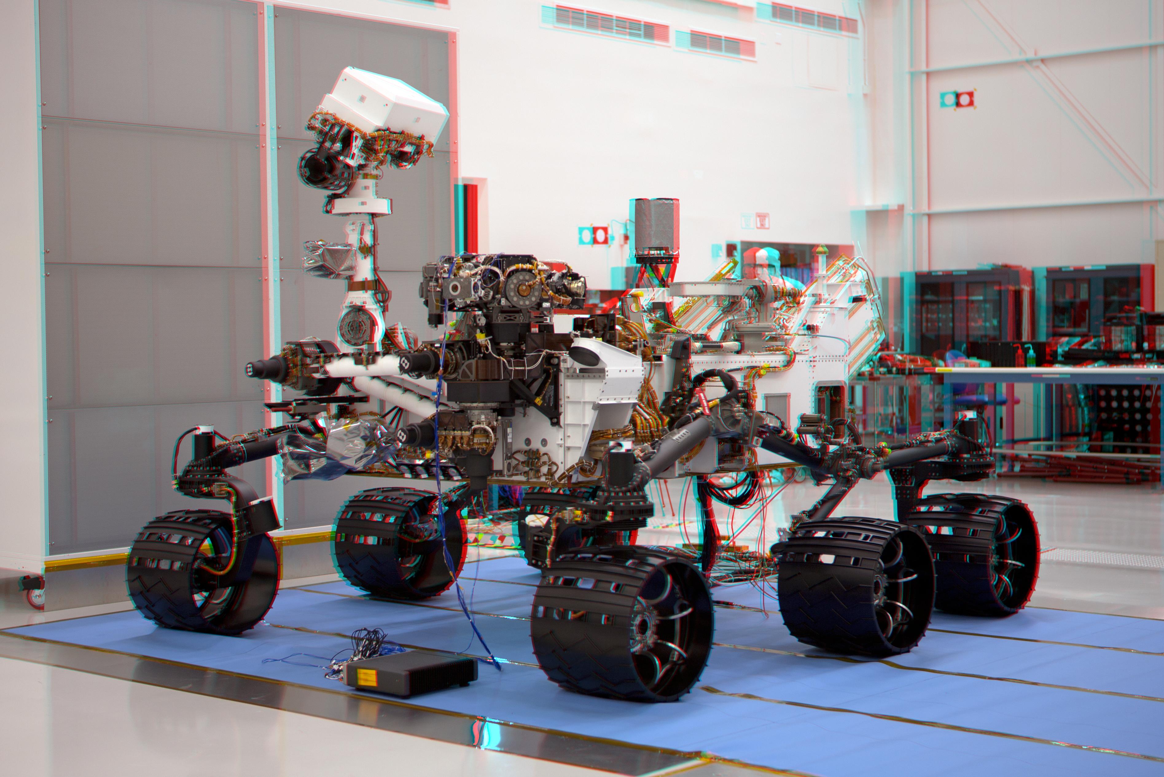
2011-07-22
Mars Science Laboratory (MSL)
3790x2532x3
PIA14309:
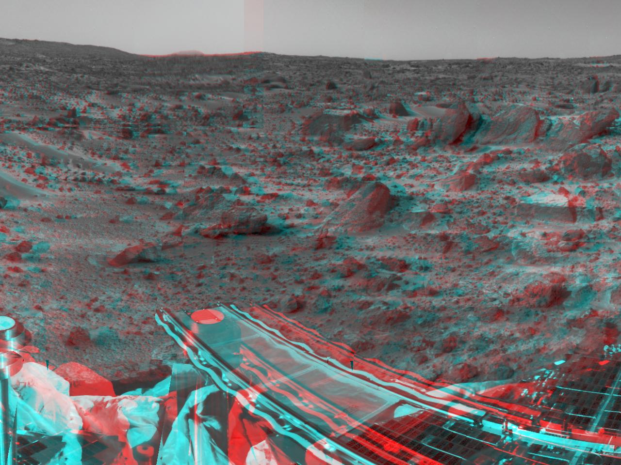
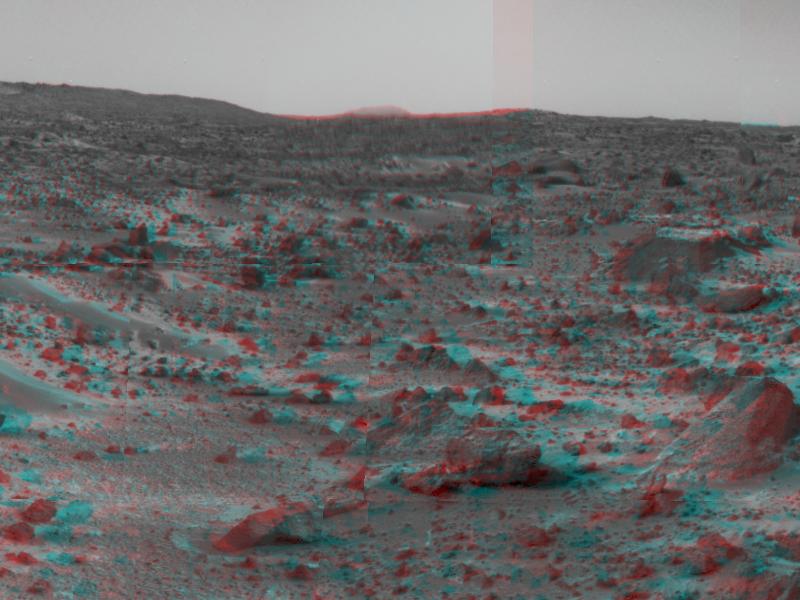
Mars Science Laboratory Mission's Curiosity Rover (Stereo)
Full Resolution:
TIFF
(28.79 MB)
JPEG
(919.3 kB)
2011-12-09
Mars Science Laboratory (MSL)
4308x2828x3
PIA15180:
3-D Anaglyph Fish-eye View of NASA's Curiosity Rover and its Rocket-Powered Descent Vehicle
Full Resolution:
TIFF
(36.55 MB)
JPEG
(933.9 kB)
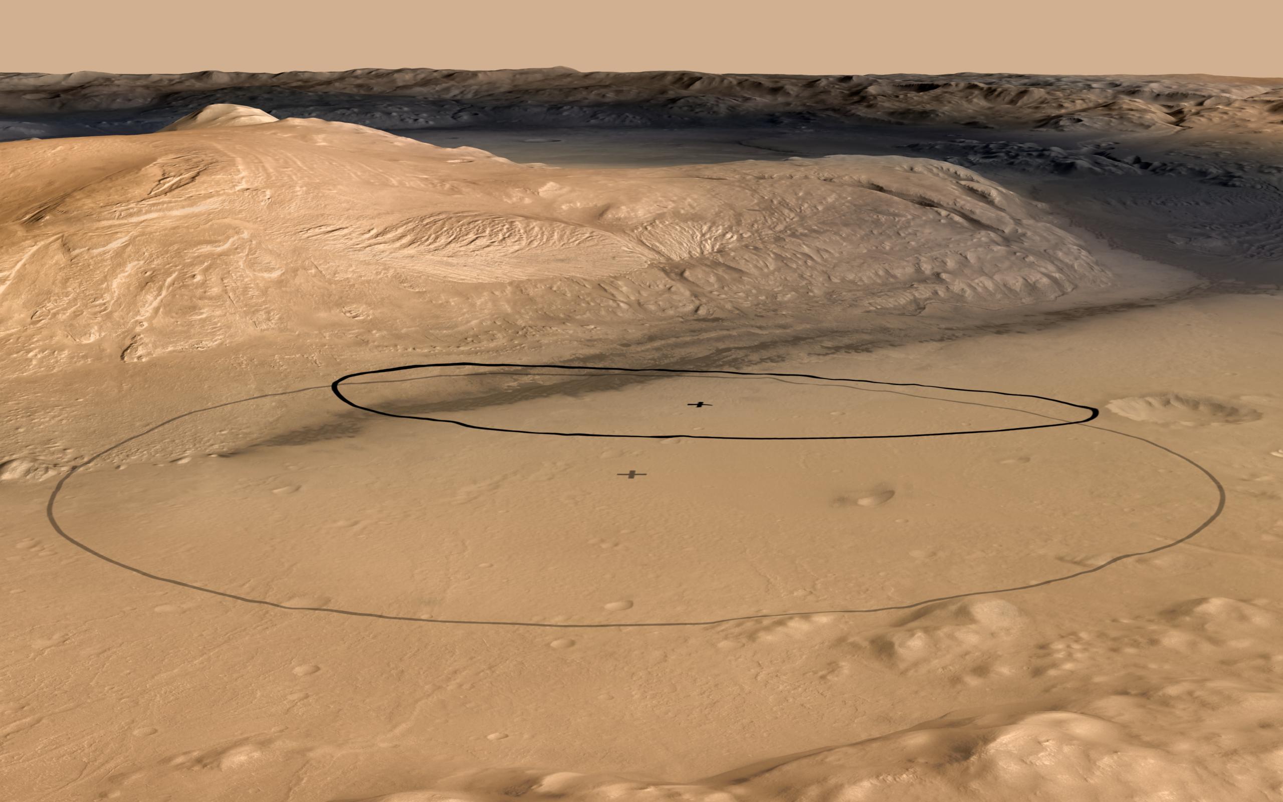
2012-06-11
Mars
Mars Science Laboratory (MSL)
2560x1600x3
PIA15685:
Revised Landing Target for Mars Rover Curiosity
Full Resolution:
TIFF
(12.3 MB)
JPEG
(356.8 kB)
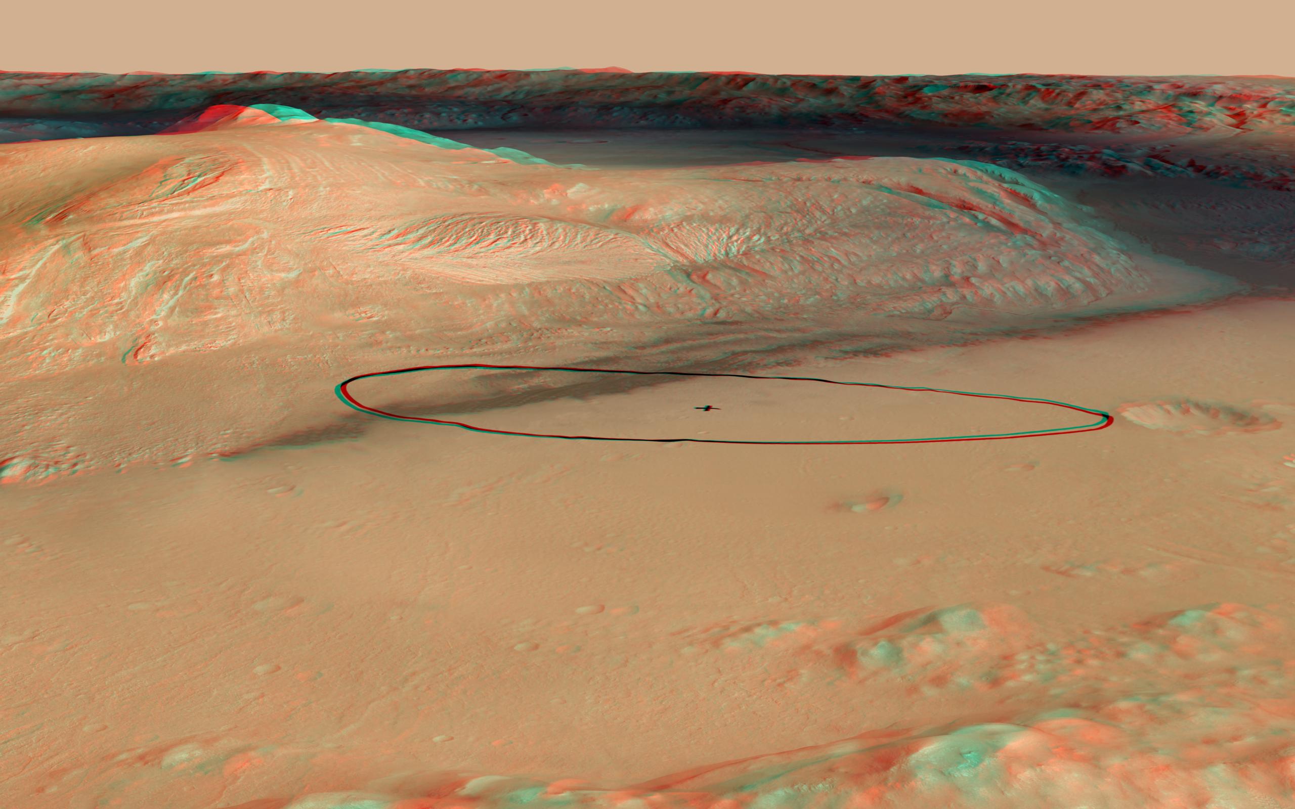
2012-06-11
Mars
Mars Science Laboratory (MSL)
2560x1600x3
PIA15688:
Landing Target for Mars Rover Curiosity, in Stereo
Full Resolution:
TIFF
(12.3 MB)
JPEG
(341.3 kB)
2012-08-07
Mars
Mars Science Laboratory (MSL)
1024x925x3
PIA16002:
3-D View from Behind Curiosity
Full Resolution:
TIFF
(2.843 MB)
JPEG
(94.86 kB)
2012-08-07
Mars
Mars Science Laboratory (MSL)
1024x847x3
PIA16003:
3-D View from the Front of Curiosity
Full Resolution:
TIFF
(2.603 MB)
JPEG
(97.37 kB)
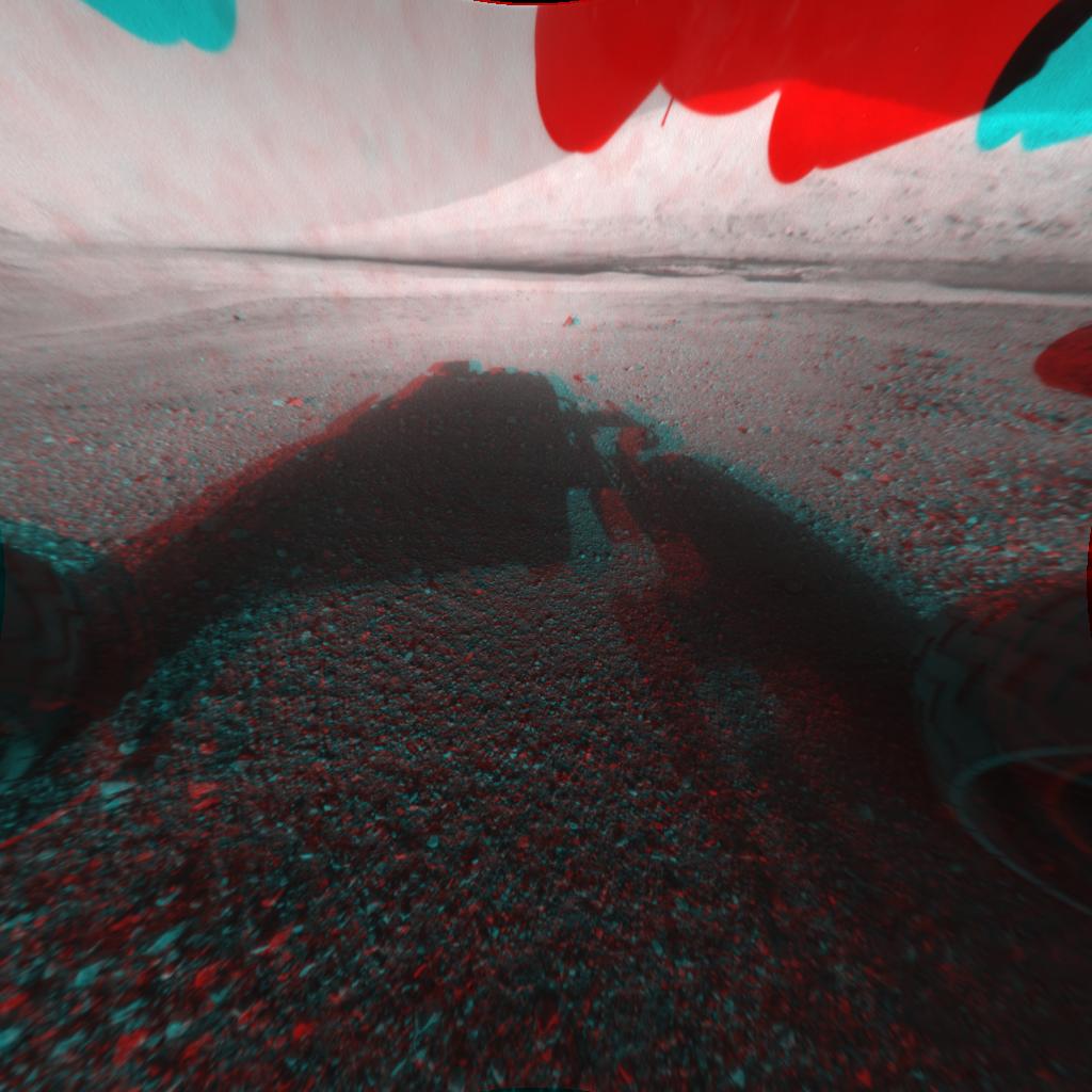
2012-08-07
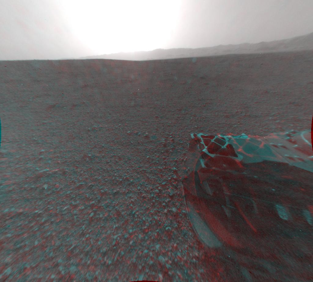
Mars
Mars Science Laboratory (MSL)
1024x1024x3
PIA16004:
3-D View from the Front of Curiosity
Full Resolution:
TIFF
(3.147 MB)
JPEG
(109.6 kB)
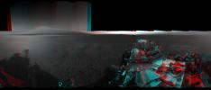
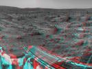
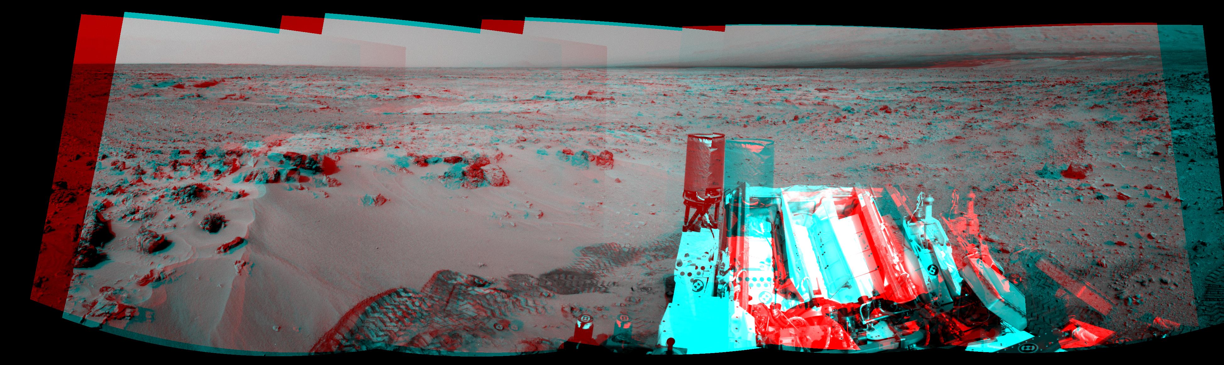
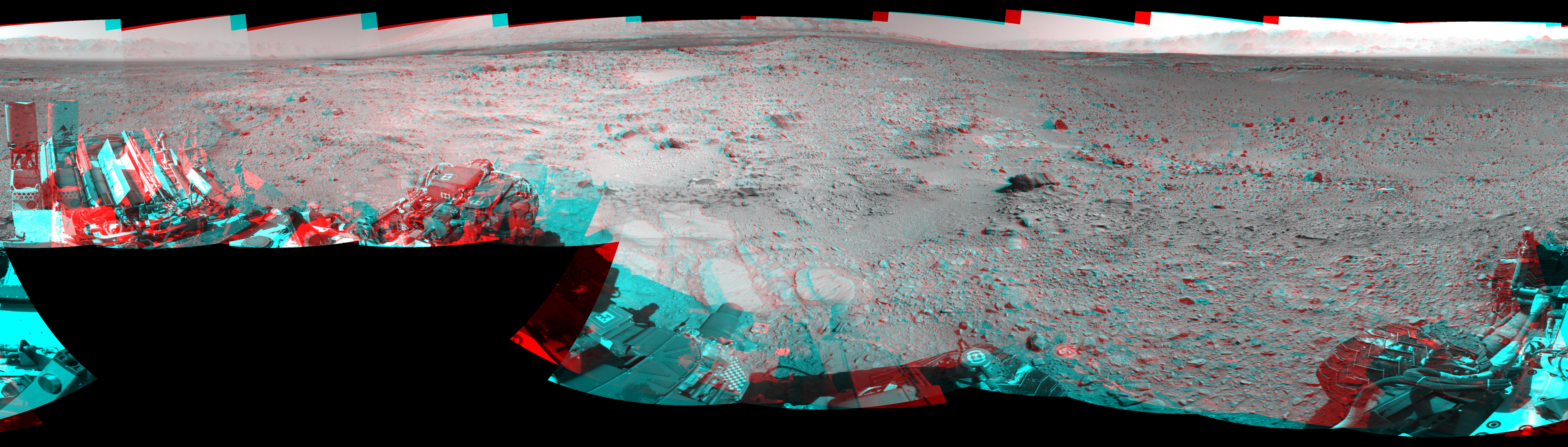
2012-09-04
Mars
Mars Science Laboratory (MSL)
7824x3337x3
PIA16140:
3-D View from Bradbury Landing Site
Full Resolution:
TIFF
(78.35 MB)
JPEG
(1.916 MB)
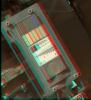
2012-09-13
Mars
Mars Science Laboratory (MSL)
MAHLI
1096x1200x3
PIA15879:
3-D View of MAHLI Calibration Target
Full Resolution:
TIFF
(3.947 MB)
JPEG
(191.8 kB)
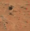
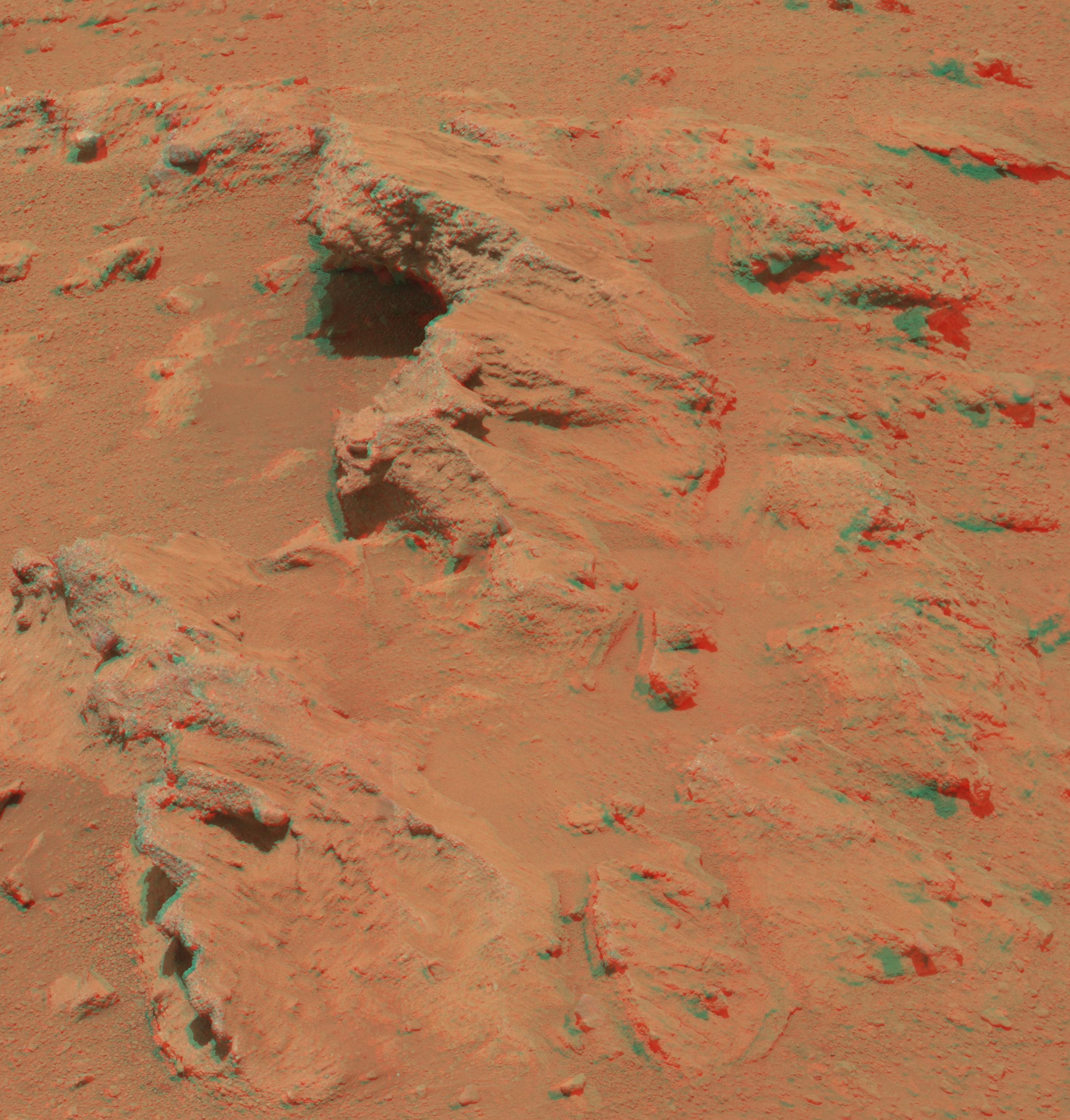
2012-10-03
Mars
Mars Science Laboratory (MSL)
Mastcam
2901x3036x3
PIA16223:
Martian Streambed Evidence Rock in 3-D
Full Resolution:
TIFF
(26.43 MB)
JPEG
(977.2 kB)
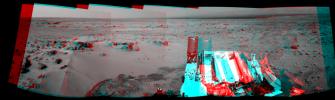
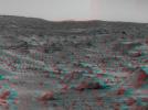
2012-11-20
Mars
Mars Science Laboratory (MSL)
Navcam (MSL)
3893x1162x3
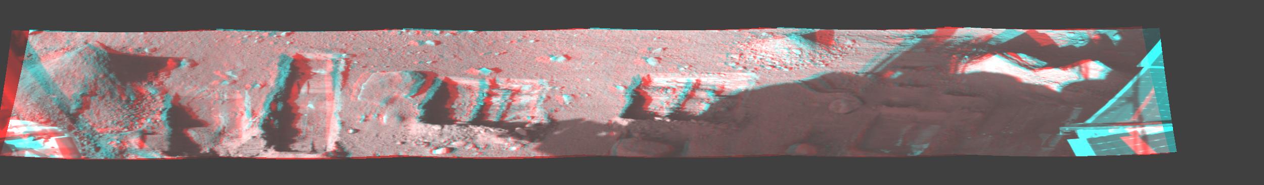
PIA16449:
Curiosity's Eastward View After Sol 100 Drive, Stereo
Full Resolution:
TIFF
(13.58 MB)
JPEG
(640.8 kB)
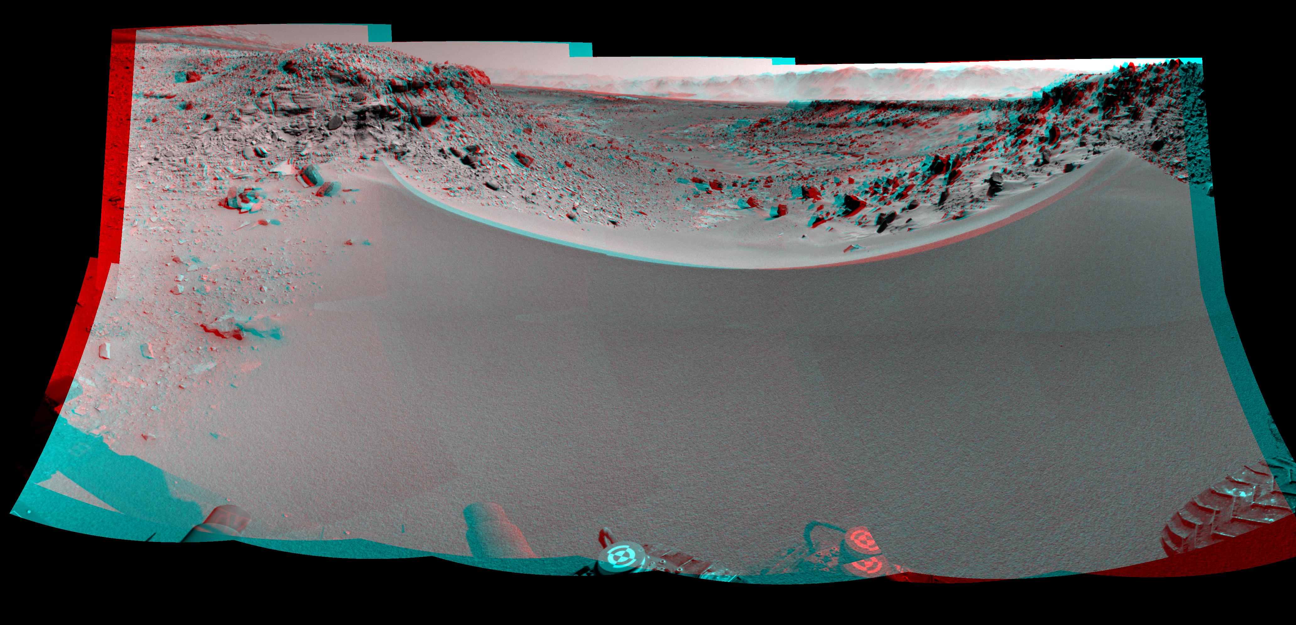
2013-04-23
Mars
Mars Science Laboratory (MSL)
Navcam (MSL)
7824x3328x3
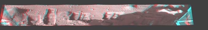
PIA16847:
Mars Stereo View from "John Klein" to Mount Sharp (Raw)
Full Resolution:
TIFF
(78.14 MB)
JPEG
(2.325 MB)
2013-04-23
Mars
Mars Science Laboratory (MSL)
Navcam (MSL)
7824x2131x3
PIA16925:
Mars Stereo View from "John Klein" to Mount Sharp
Full Resolution:
TIFF
(50.04 MB)
JPEG
(1.804 MB)
2013-05-30
Mars
Mars Science Laboratory (MSL)
Mastcam
2498x1126x3
PIA17063:
Evidence About a Martian Streambed (Stereo)
Full Resolution:
TIFF
(8.441 MB)
JPEG
(394.8 kB)
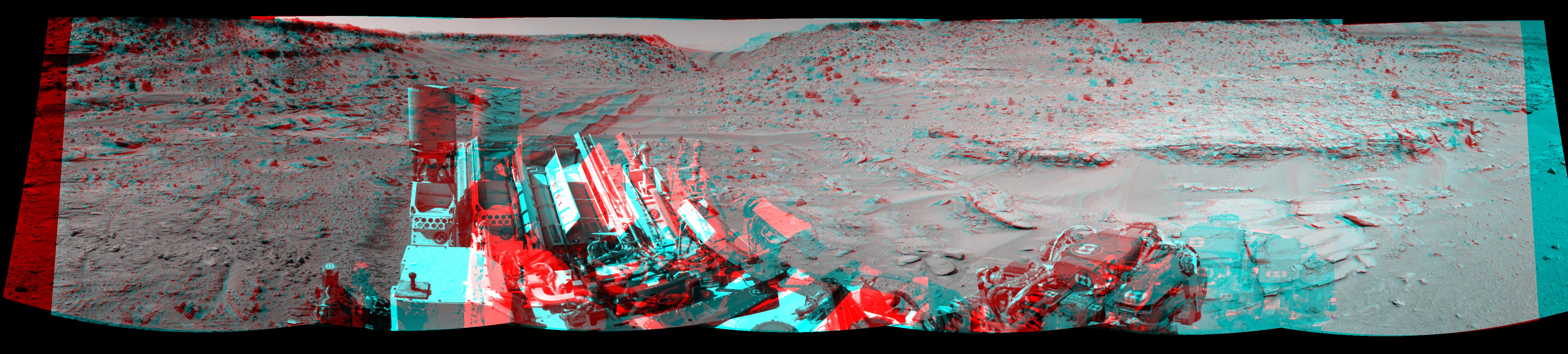
2013-12-20
Mars
Mars Science Laboratory (MSL)
Navcam (MSL)
7733x2206x3
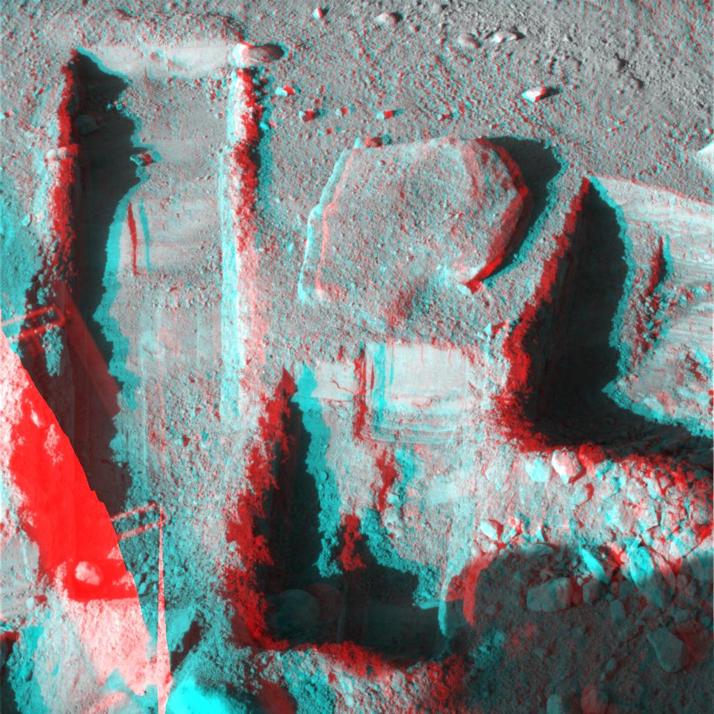
PIA17584:
Rocky Mars Ground Where Curiosity Has Been Driving (Stereo)
Full Resolution:
TIFF
(51.19 MB)
JPEG
(2.437 MB)
2014-01-31
Mars
Mars Science Laboratory (MSL)
Navcam (MSL)
4127x1993x3
PIA17769:
Curiosity's View Past Dune at 'Dingo Gap' (Stereo)
Full Resolution:
TIFF
(24.69 MB)
JPEG
(1.066 MB)
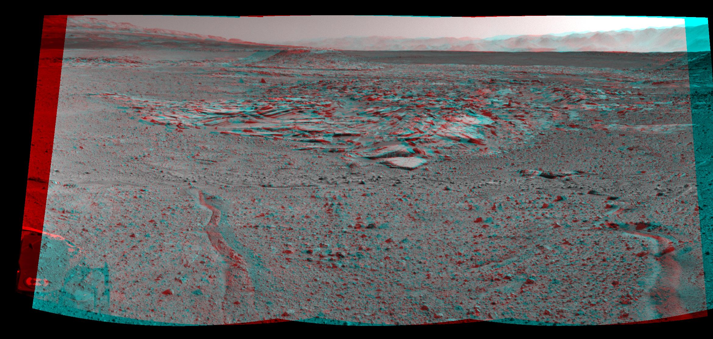
2014-02-27
Mars
Mars Science Laboratory (MSL)
Navcam (MSL)
3563x1131x3
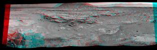
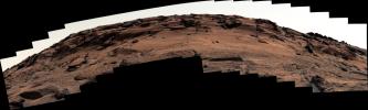
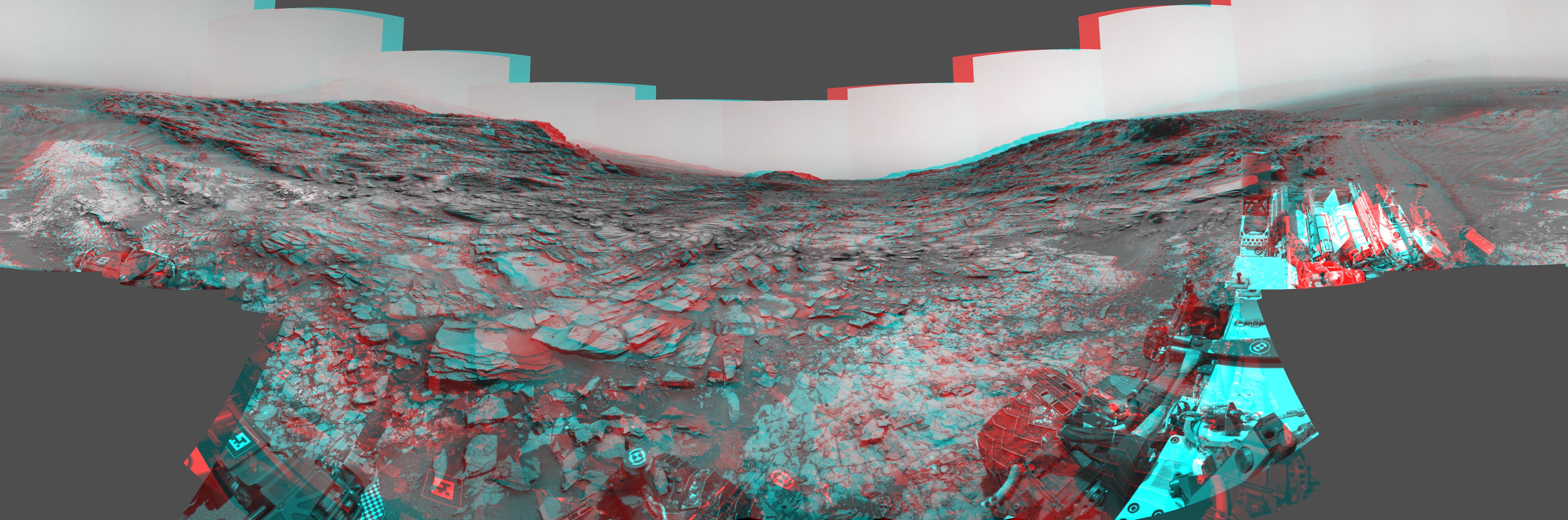
PIA17948:
Martian Landscape With Rock Rows and Mount Sharp (Stereo)
Full Resolution:
TIFF
(12.09 MB)
JPEG
(503.8 kB)
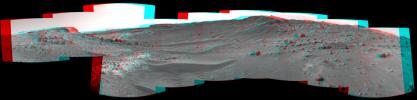
2014-02-27
Mars
Mars Science Laboratory (MSL)
Navcam (MSL)
5015x1132x3
PIA17951:
Panoramic View From West of 'Dingo Gap' (Stereo)
Full Resolution:
TIFF
(17.04 MB)
JPEG
(954 kB)
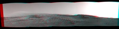
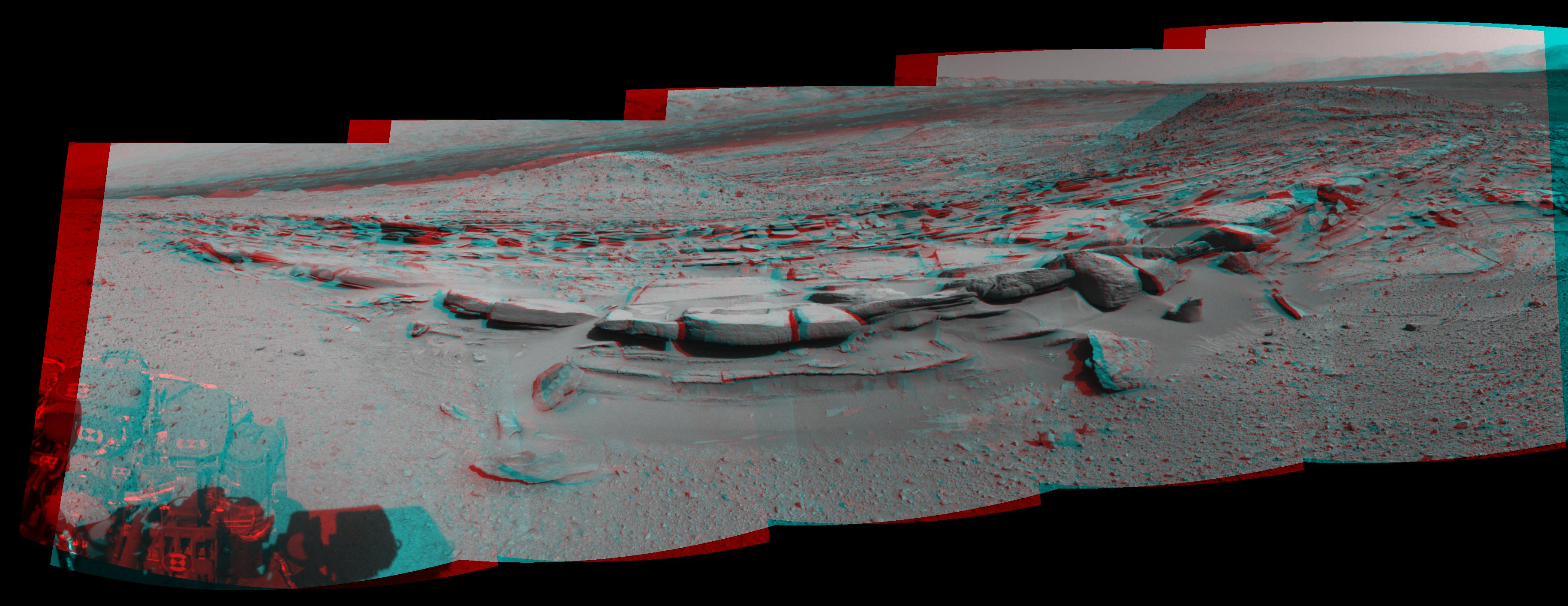
2014-03-24
Mars
Mars Science Laboratory (MSL)
Navcam (MSL)
3657x1414x3
PIA18070:
Panorama With Sandstone Outcrop Near 'The Kimberley' Waypoint (Stereo)
Full Resolution:
TIFF
(15.52 MB)
JPEG
(573.6 kB)
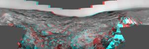
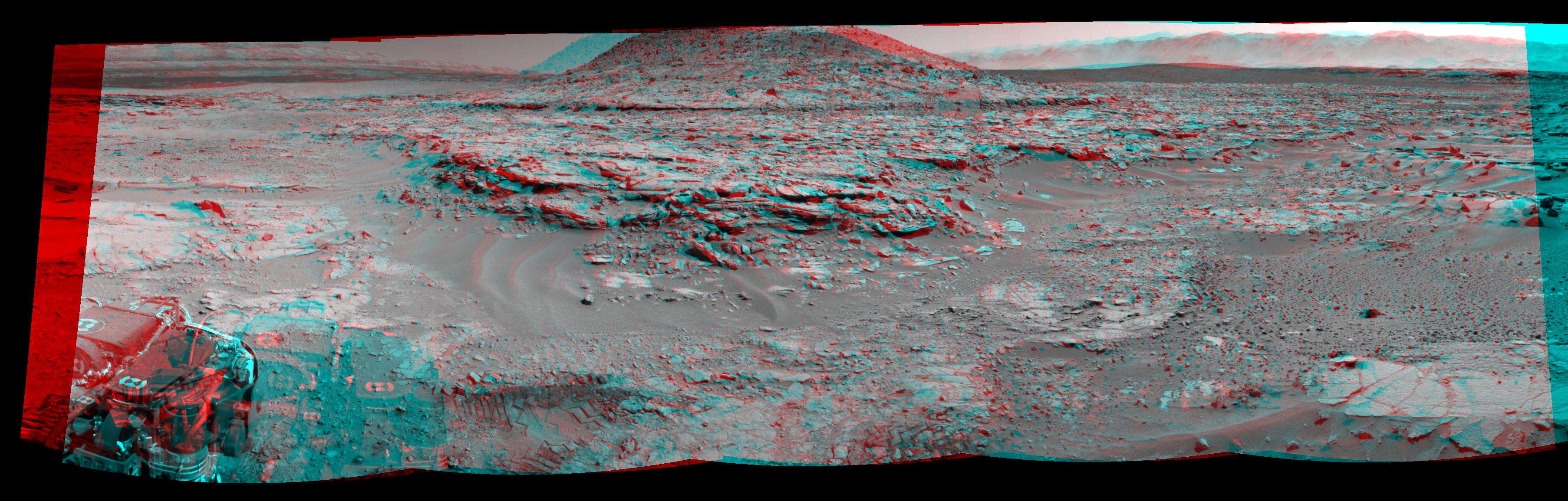
2014-04-03
Mars
Mars Science Laboratory (MSL)
Navcam (MSL)
2338x1111x3
PIA18074:
Curiosity's View From Arrival Point at 'The Kimberley' Waypoint (Stereo)
Full Resolution:
TIFF
(7.796 MB)
JPEG
(446.6 kB)
2014-04-16
Mars
Mars Science Laboratory (MSL)
Navcam (MSL)
3612x1155x3
PIA18084:
Stereo View of 'Mount Remarkable' and Surrounding Outcrops at Mars Rover's Waypoint
Full Resolution:
TIFF
(12.52 MB)
JPEG
(697.9 kB)
2015-04-13
Mars
Mars Science Laboratory (MSL)
Navcam (MSL)
6246x1497x3
PIA19165:
Curiosity View Ahead Through 'Artist's Drive' (Stereo)
Full Resolution:
TIFF
(28.06 MB)
JPEG
(1.019 MB)
2015-04-13
Mars
Mars Science Laboratory (MSL)
Navcam (MSL)
3368x832x3
PIA19387:
Scene From 'Artist's Drive' on Mars (Stereo)
Full Resolution:
TIFF
(8.41 MB)
JPEG
(231.6 kB)
2015-07-01
Mars
Mars Science Laboratory (MSL)
Navcam (MSL)
7729x2563x3
PIA19678:
Panorama from Curiosity's Sol 1000 Location (Stereo)
Full Resolution:
TIFF
(59.45 MB)
JPEG
(2.315 MB)
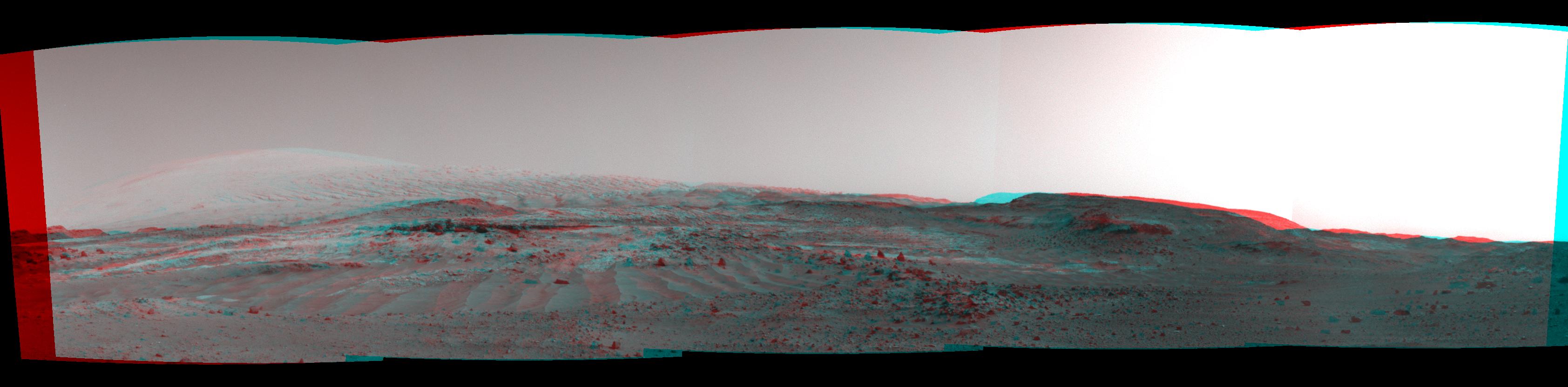
2016-01-04
Mars
Mars Science Laboratory (MSL)
Navcam (MSL)
4937x1190x3
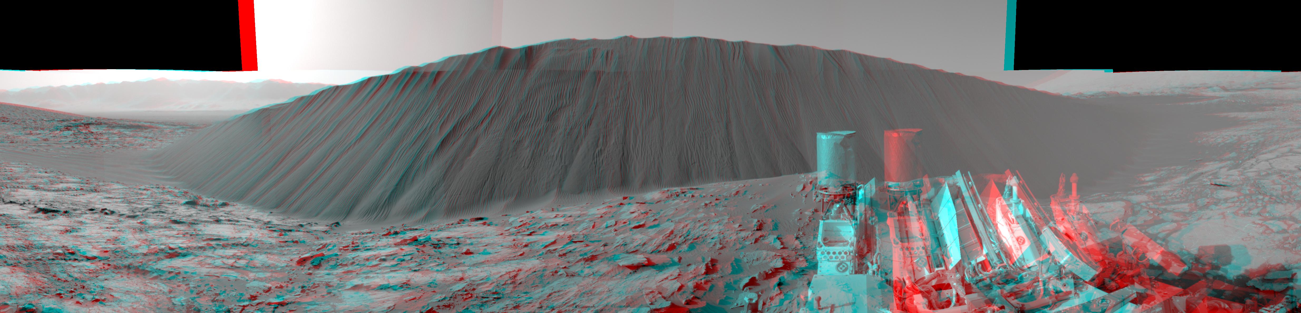
PIA20282:
Downwind Side of 'Namib' Sand Dune on Mars, Stereo
Full Resolution:
TIFF
(13 MB)
JPEG
(596.7 kB)
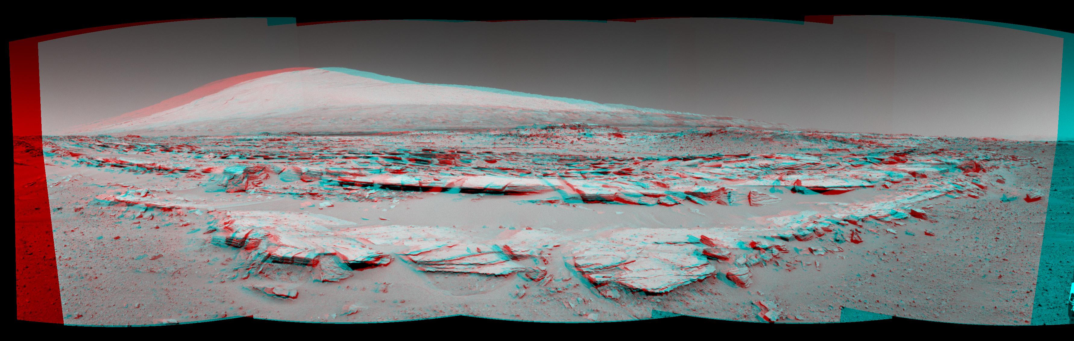
2016-08-19
Mars
Mars Science Laboratory (MSL)
Mastcam
4893x2642x3
PIA20836:
Breccia-Conglomerate Rocks on Lower Mount Sharp, Mars (Stereo)
Full Resolution:
TIFF
(18.52 MB)
JPEG
(976.6 kB)
2021-03-30
Mars
Mars Science Laboratory (MSL)
Mastcam
1207x400x3
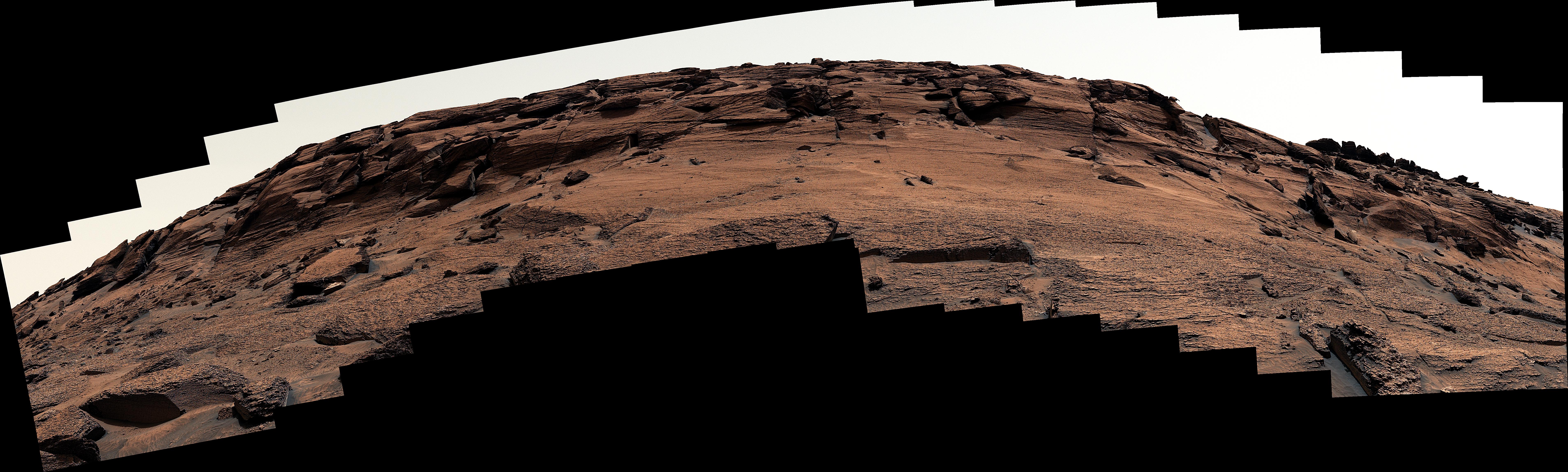
PIA24266:
Curiosity's 3D View of Mont Mercou
Full Resolution:
TIFF
(1.32 MB)
JPEG
(144.5 kB)
2022-05-18
Mars
Mars Science Laboratory (MSL)
Mastcam
7630x2295x3
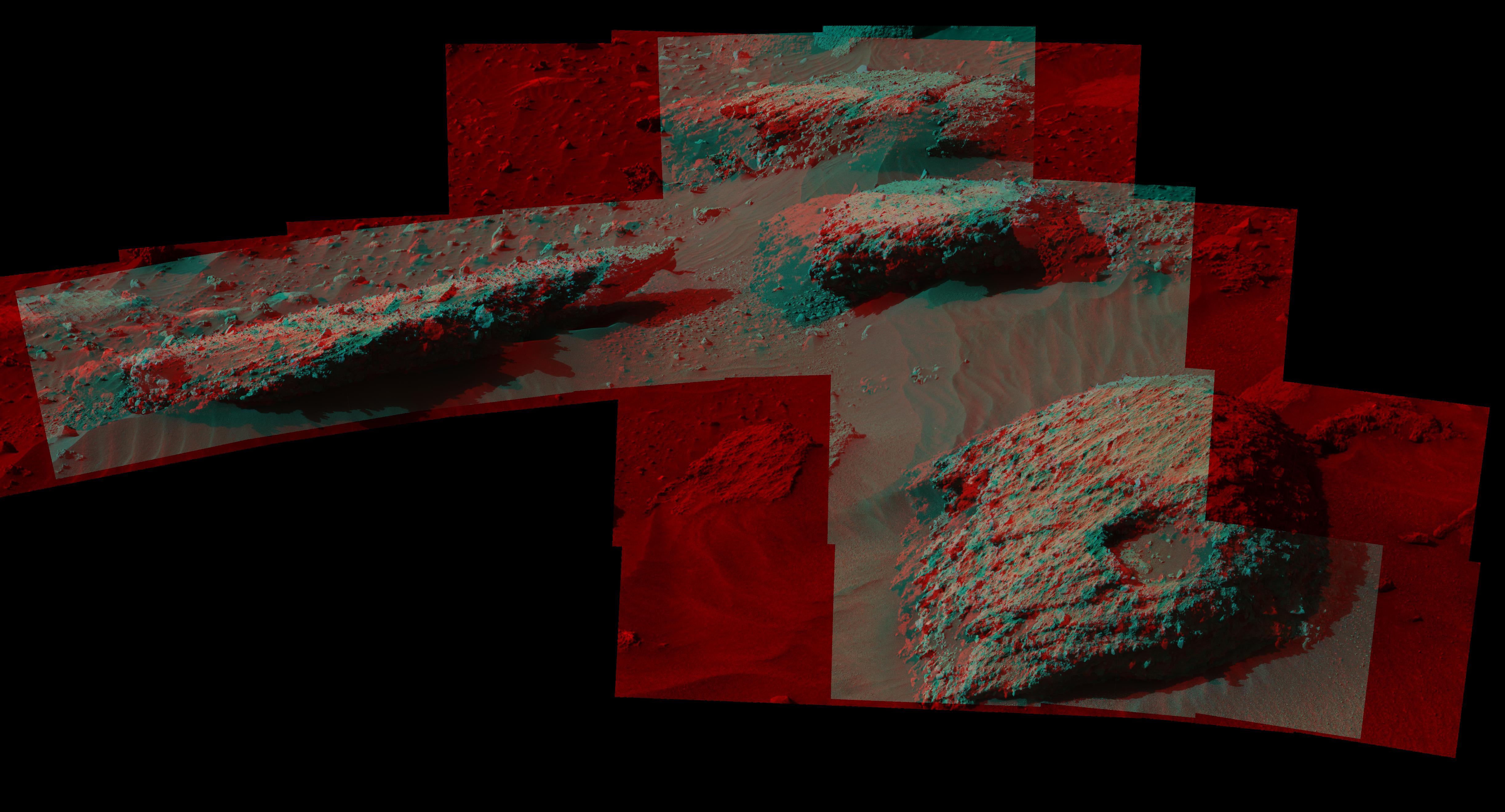
PIA25288:
Door-Shaped Fracture Spotted by Curiosity at East Cliffs
Full Resolution:
TIFF
(30.19 MB)
JPEG
(2.872 MB)
2023-05-08
Mars
Mars Science Laboratory (MSL)
MAHLI
1580x1179x3
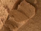
PIA25828:
Curiosity Finds a Book-Like Rock
Full Resolution:
TIFF
(5.575 MB)
JPEG
(316.9 kB)
2023-11-06
Mars
Mars Science Laboratory (MSL)
Navcam (MSL)
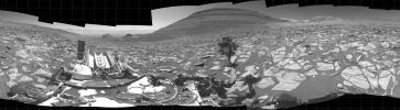
7665x2111x1
PIA26047:
Curiosity's Navcams View the Area Around 'Sequoia'
Full Resolution:
TIFF
(12.18 MB)
JPEG
(1.953 MB)
2012-10-10
Mars
Mars Reconnaissance Orbiter (MRO)
Mars Science Laboratory (MSL)
HiRISE
398x408x3
PIA16208:
Curiosity at Bradbury Landing Site in 3-D
Full Resolution:
TIFF
(487.5 kB)
JPEG
(17.84 kB)
2012-10-10
Mars
Mars Reconnaissance Orbiter (MRO)
Mars Science Laboratory (MSL)
HiRISE
950x795x3
PIA16209:
Parachute and Back Shell in 3-D
Full Resolution:
TIFF
(2.267 MB)
JPEG
(87.85 kB)
2012-10-10
Mars
Mars Reconnaissance Orbiter (MRO)
Mars Science Laboratory (MSL)
HiRISE
2414x1387x3
PIA16210:
'Glenelg' in 3-D
Full Resolution:
TIFF
(10.05 MB)
JPEG
(554.1 kB)
2014-04-16
Mars
Mars Reconnaissance Orbiter (MRO)
Mars Science Laboratory (MSL)
HiRISE
3287x3497x3
PIA18082:
Stereo View of Curiosity and Rover Tracks at 'the Kimberley,' April 2014
Full Resolution:
TIFF
(34.5 MB)
JPEG
(791.9 kB)
2006-12-05
Mars
Mars Reconnaissance Orbiter (MRO)
HiRISE
4088x4103x3
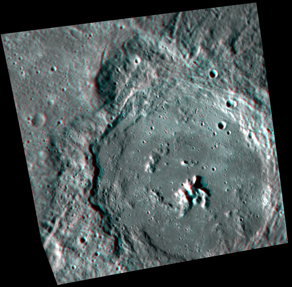
PIA01883:
Stereo View of Victoria Crater
Full Resolution:
TIFF
(50.32 MB)
JPEG
(978.9 kB)
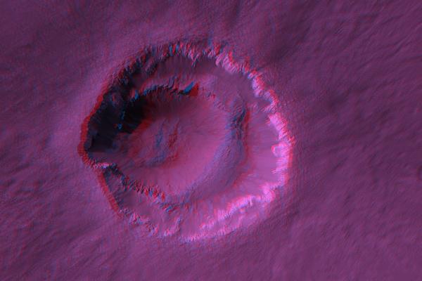
2007-01-10
Mars
Mars Reconnaissance Orbiter (MRO)
HiRISE
600x400x3
PIA09557:
Stereo Anaglyphs of Ada Crater
Full Resolution:
TIFF
(721 kB)
JPEG
(26.64 kB)
2007-01-10
Mars
Mars Reconnaissance Orbiter (MRO)
HiRISE
2235x1500x3
PIA09558:
Stereo Anaglyphs of River Meanders in Eberswalde Delta
Full Resolution:
TIFF
(10.07 MB)
JPEG
(433.4 kB)
2007-01-17
Mars
Mars Reconnaissance Orbiter (MRO)
HiRISE
638x1000x3
PIA09567:
Anaglyph of East Mareotis Tholus
Full Resolution:
TIFF
(1.916 MB)
JPEG
(71.69 kB)
2007-01-17
Mars
Mars Reconnaissance Orbiter (MRO)
HiRISE
619x800x3
PIA09569:
Anaglyph of the Basal Scarp of Olympus Mons Volcano
Full Resolution:
TIFF
(1.487 MB)
JPEG
(61.58 kB)
2007-12-11
Mars
Mars Reconnaissance Orbiter (MRO)
HiRISE
2048x866x1
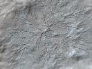
PIA10139:
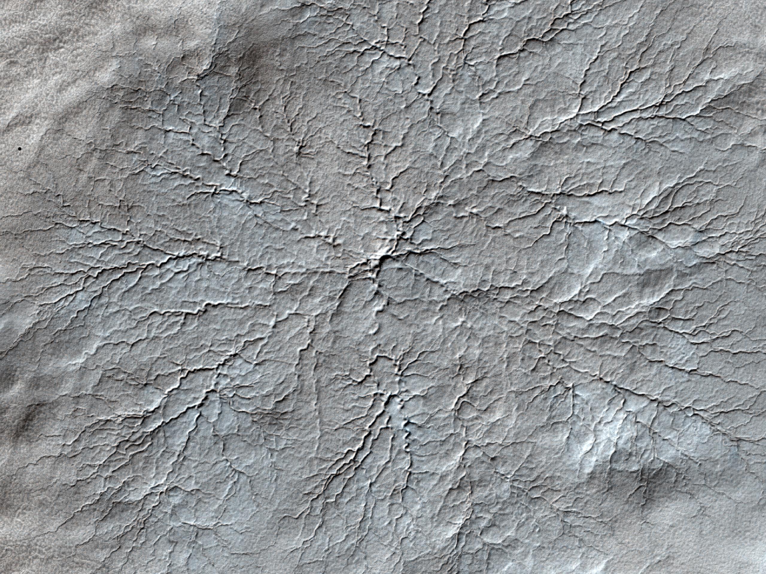
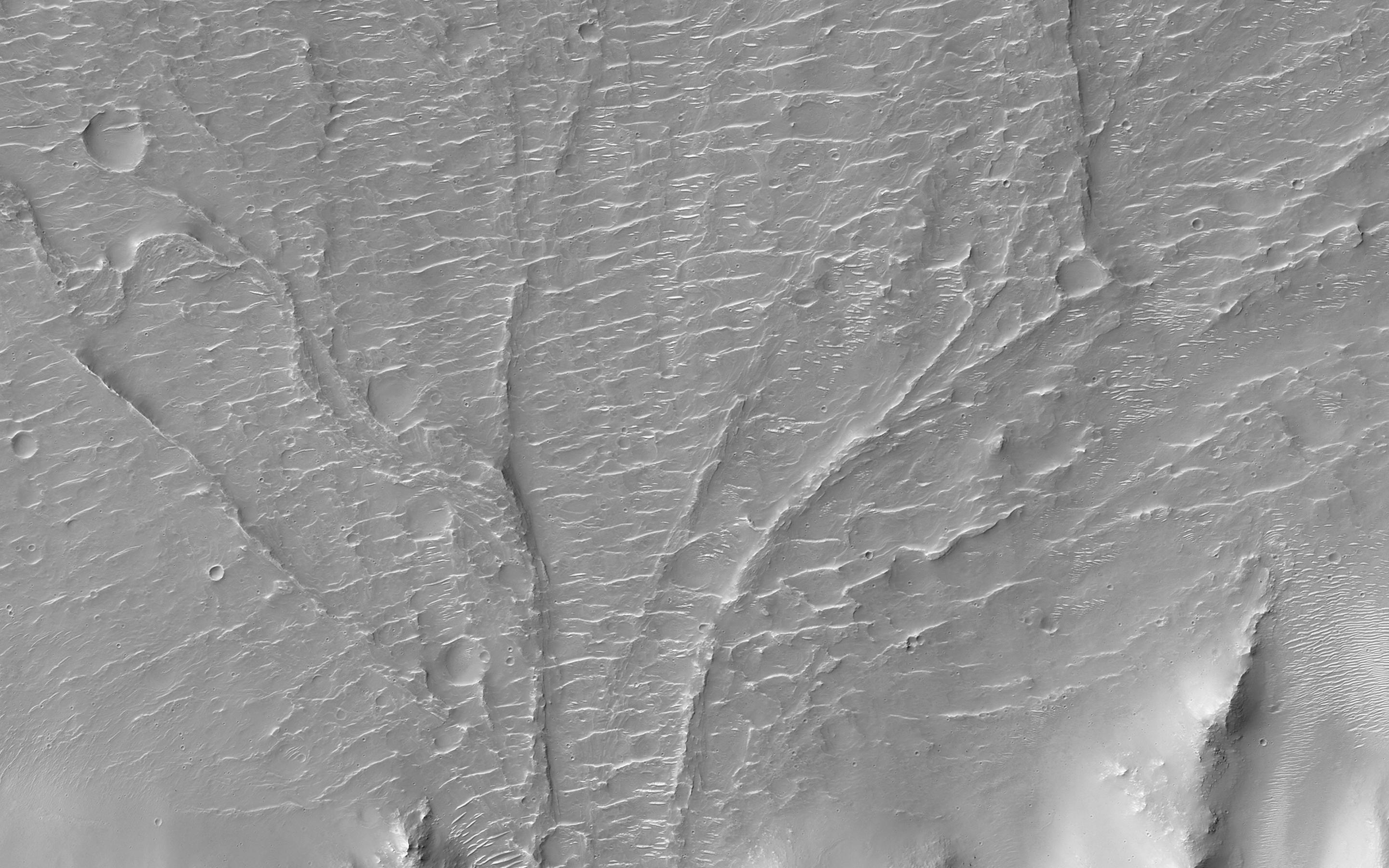
Field of Fans
Full Resolution:
TIFF
(1.776 MB)
JPEG
(236.9 kB)
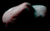
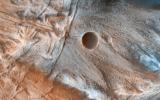
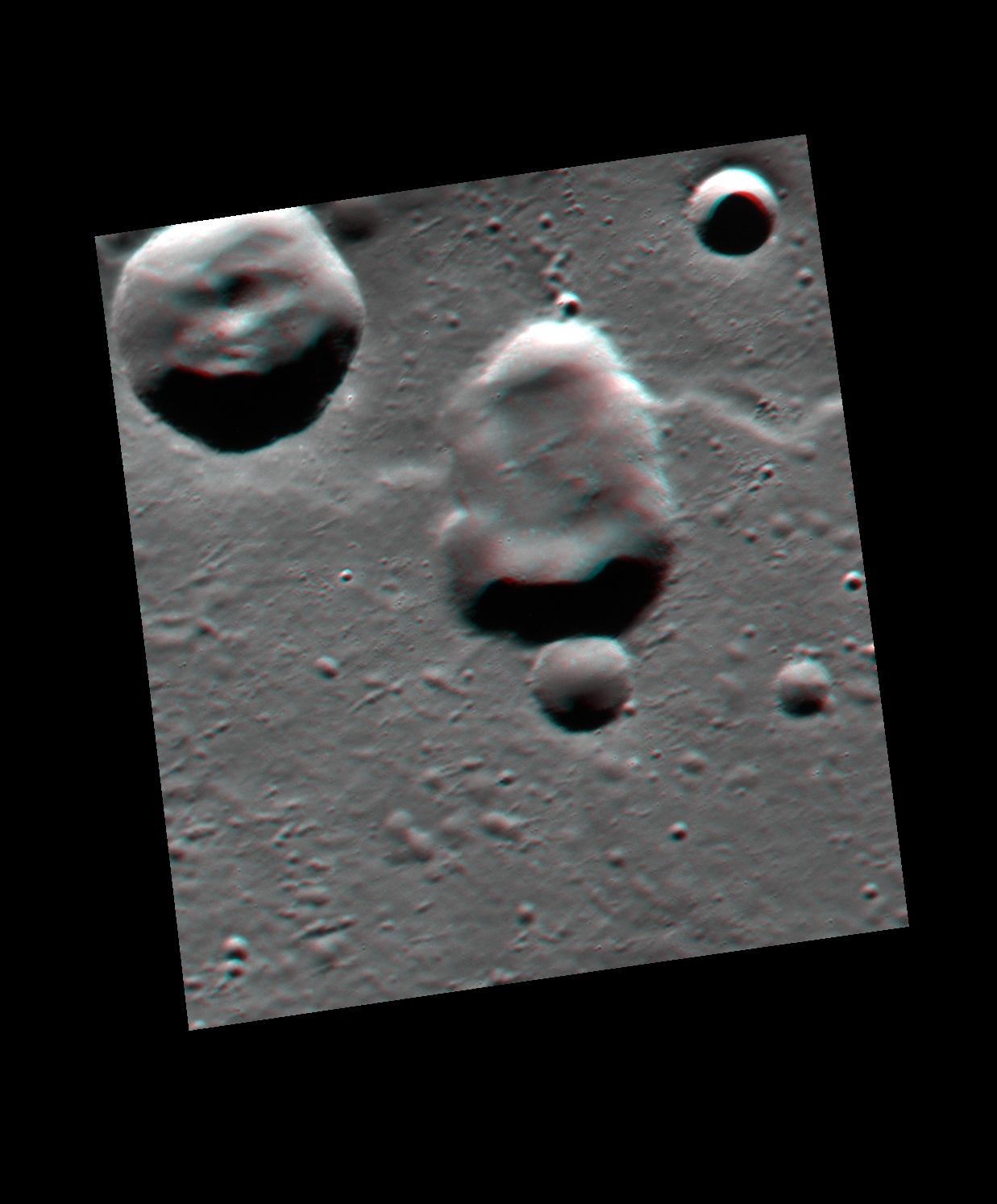
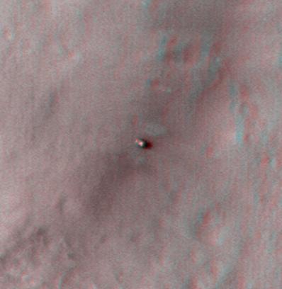
2008-04-09
Phobos
Mars Reconnaissance Orbiter (MRO)
HiRISE
1952x1442x3
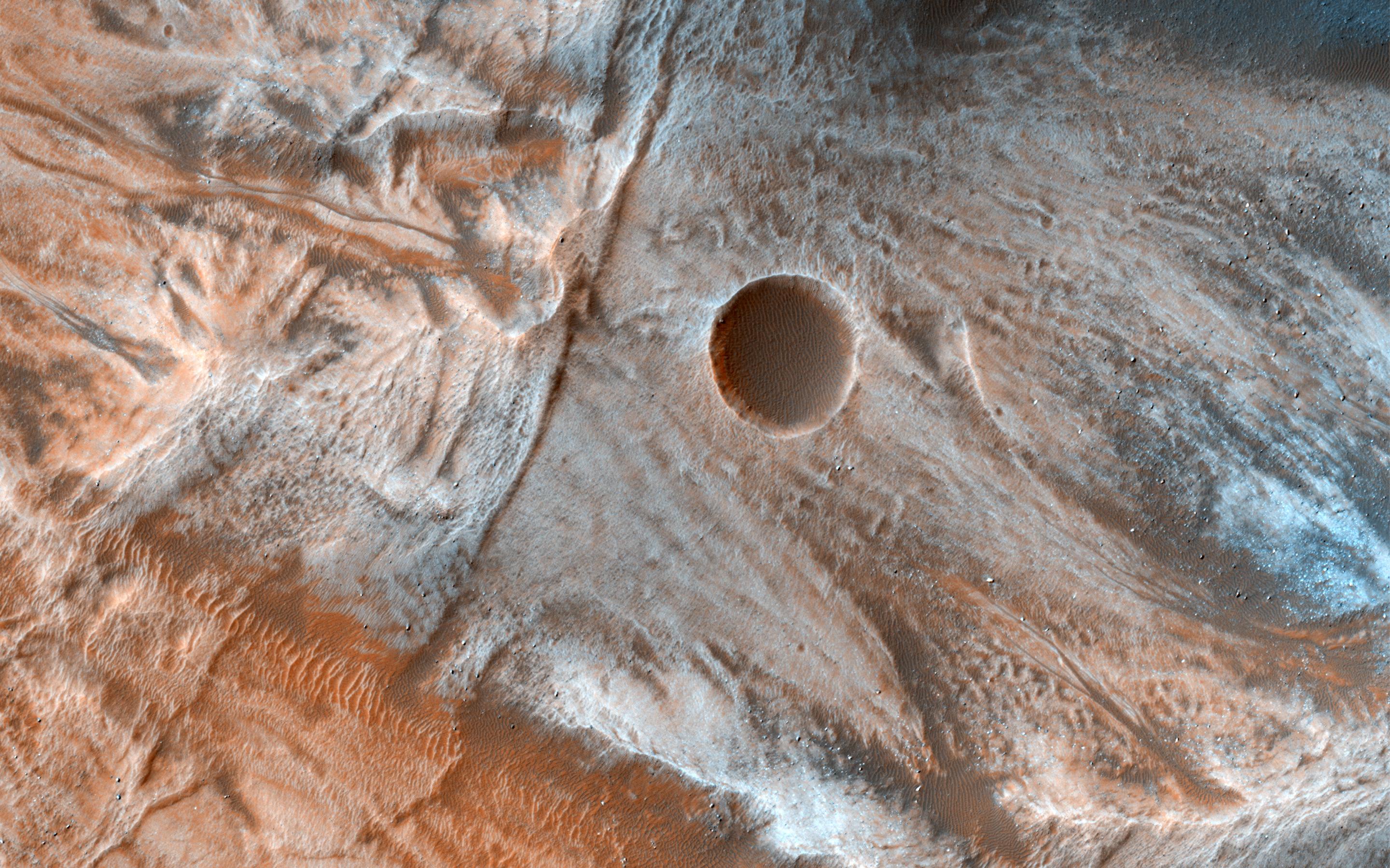
PIA10371:
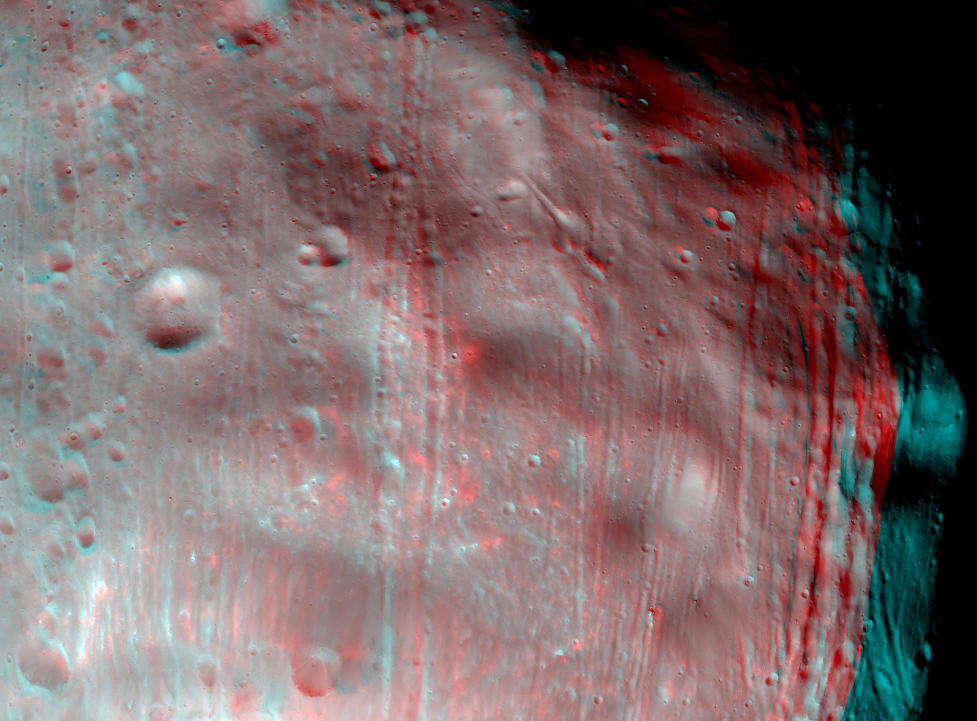
Phobos in Stereo
Full Resolution:
TIFF
(8.456 MB)
JPEG
(302.3 kB)
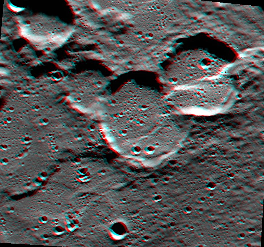
2008-12-08
Mars
Mars Reconnaissance Orbiter (MRO)
HiRISE
1129x949x3
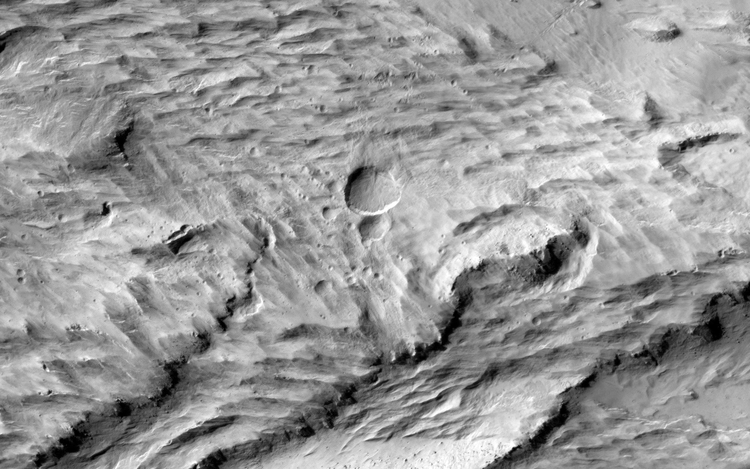
PIA11446:
Elysium Planitia, Mars - Fractured Mounds in Stereo
Full Resolution:
TIFF
(3.218 MB)
JPEG
(227.3 kB)
2011-07-15
Mars
Mars Reconnaissance Orbiter (MRO)
HiRISE
2560x1920x3
PIA14459:
Erosion Features near the South Pole of Mars
Full Resolution:
TIFF
(14.76 MB)
JPEG
(1.003 MB)
2011-07-15
Mars
Mars Reconnaissance Orbiter (MRO)
HiRISE
840x333x3
PIA14460:
Erosion Features near the South Pole of Mars (Anaglyph)
Full Resolution:
TIFF
(840.3 kB)
JPEG
(78.15 kB)
2012-03-29
Mars
Mars Reconnaissance Orbiter (MRO)
HiRISE
2560x1920x3
PIA14432:
Cratered Dune Forms
Full Resolution:
TIFF
(14.76 MB)
JPEG
(645.6 kB)
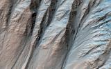
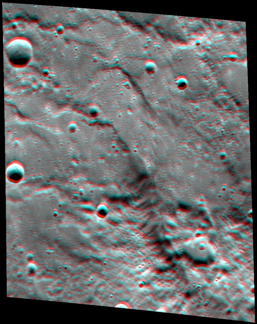
2013-09-03
Mars
Mars Reconnaissance Orbiter (MRO)
HiRISE
2880x1800x3
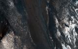
PIA17648:
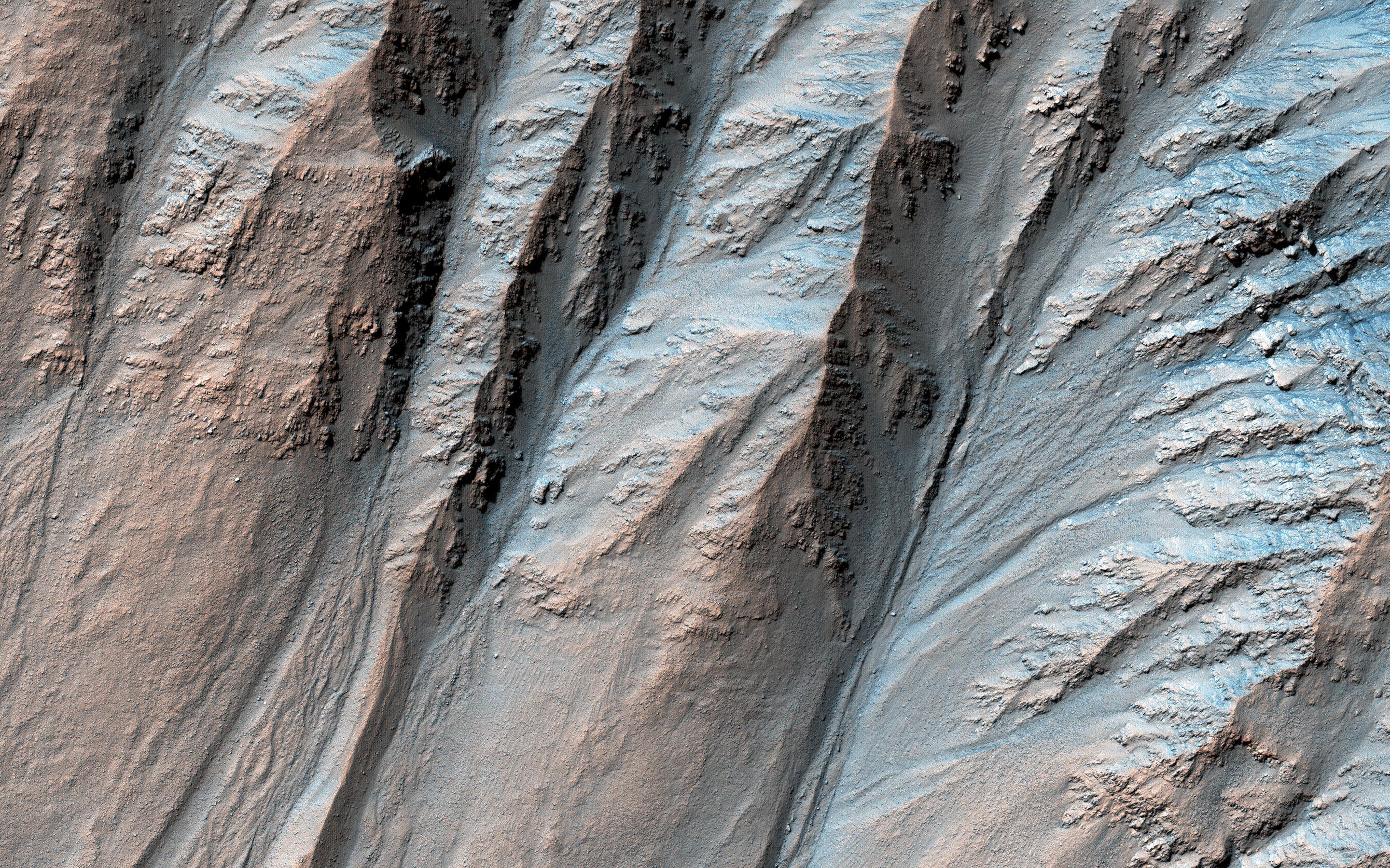
Slope Lineae along Coprates Chasma Ridge
Full Resolution:
TIFF
(15.56 MB)
JPEG
(862.3 kB)
2014-01-15
Mars
Mars Reconnaissance Orbiter (MRO)
HiRISE
2560x1920x3
PIA17874:
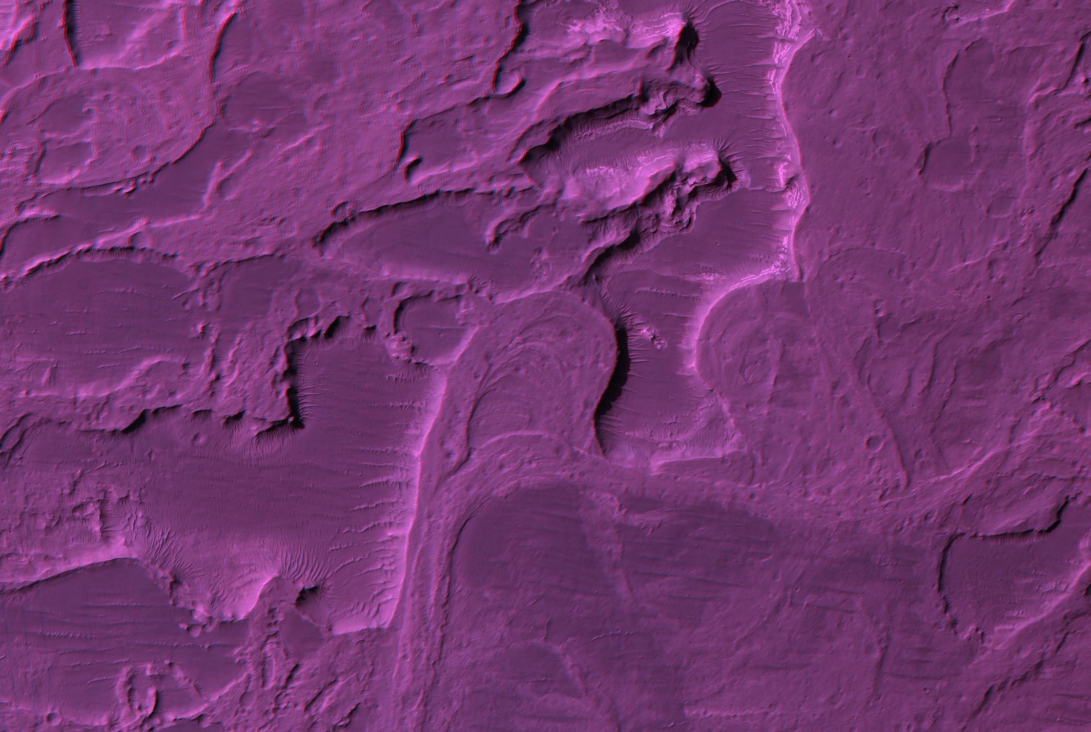
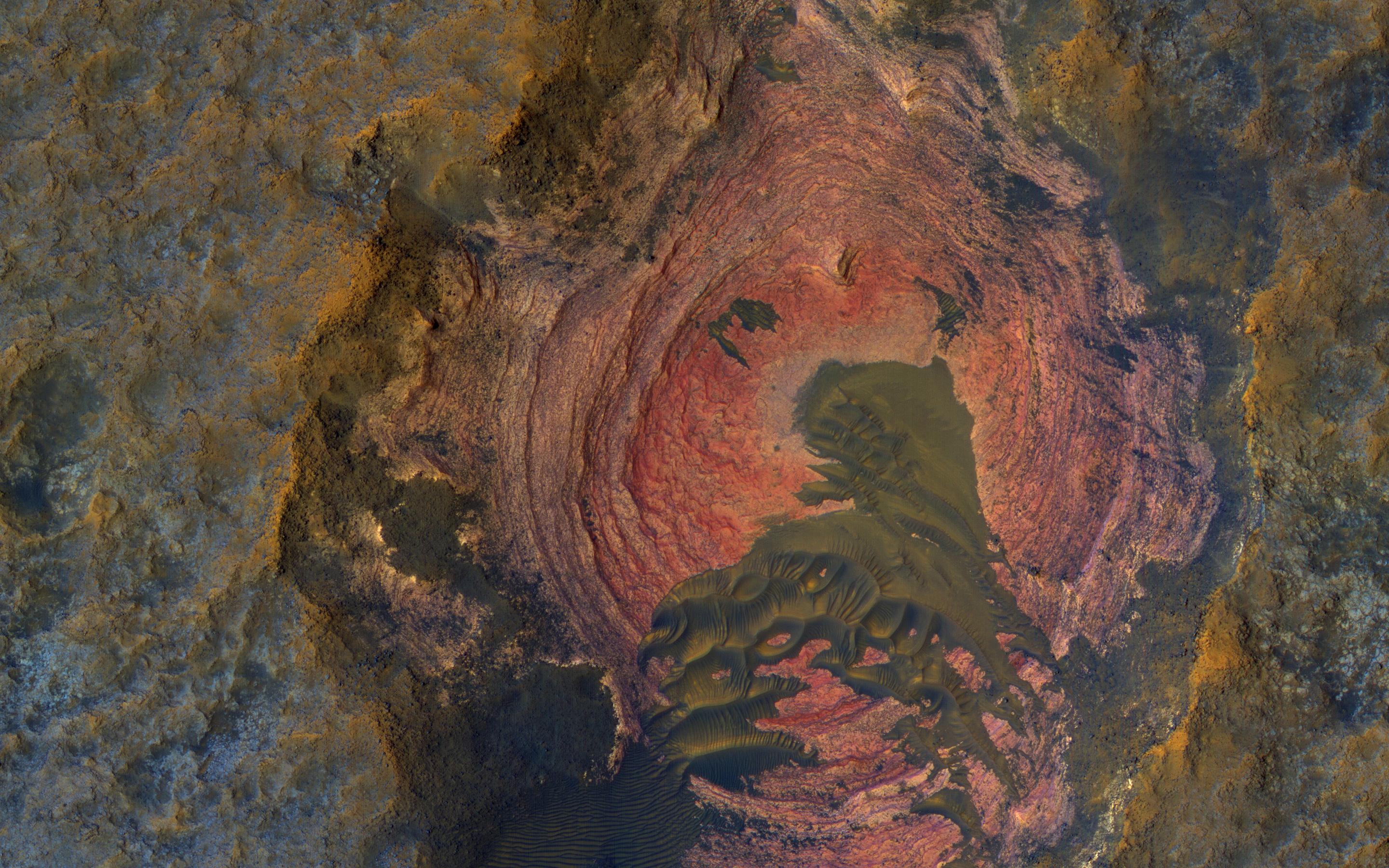
Recent Volcanism in Valles Marineris
Full Resolution:
TIFF
(14.75 MB)
JPEG
(836.7 kB)
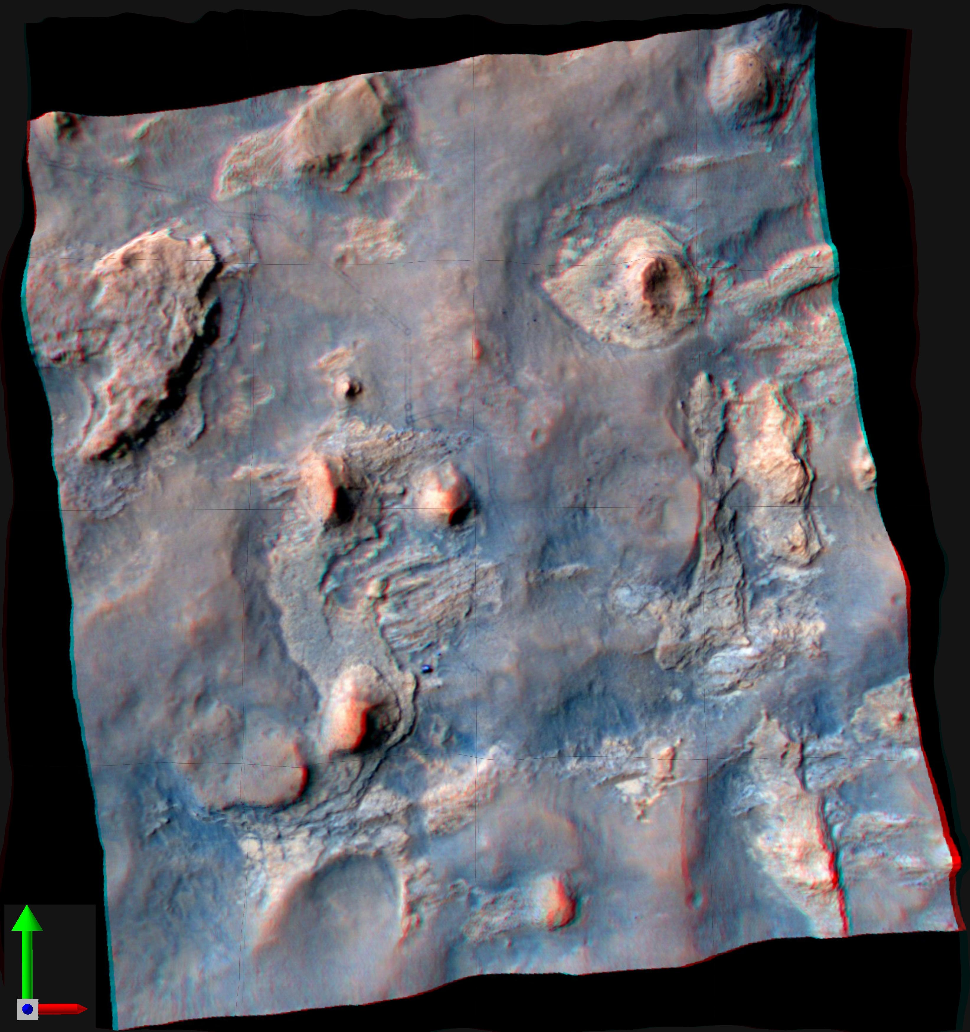
2014-04-16
Mars
Mars Reconnaissance Orbiter (MRO)
HiRISE
2880x1800x3
PIA18227:
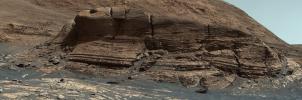
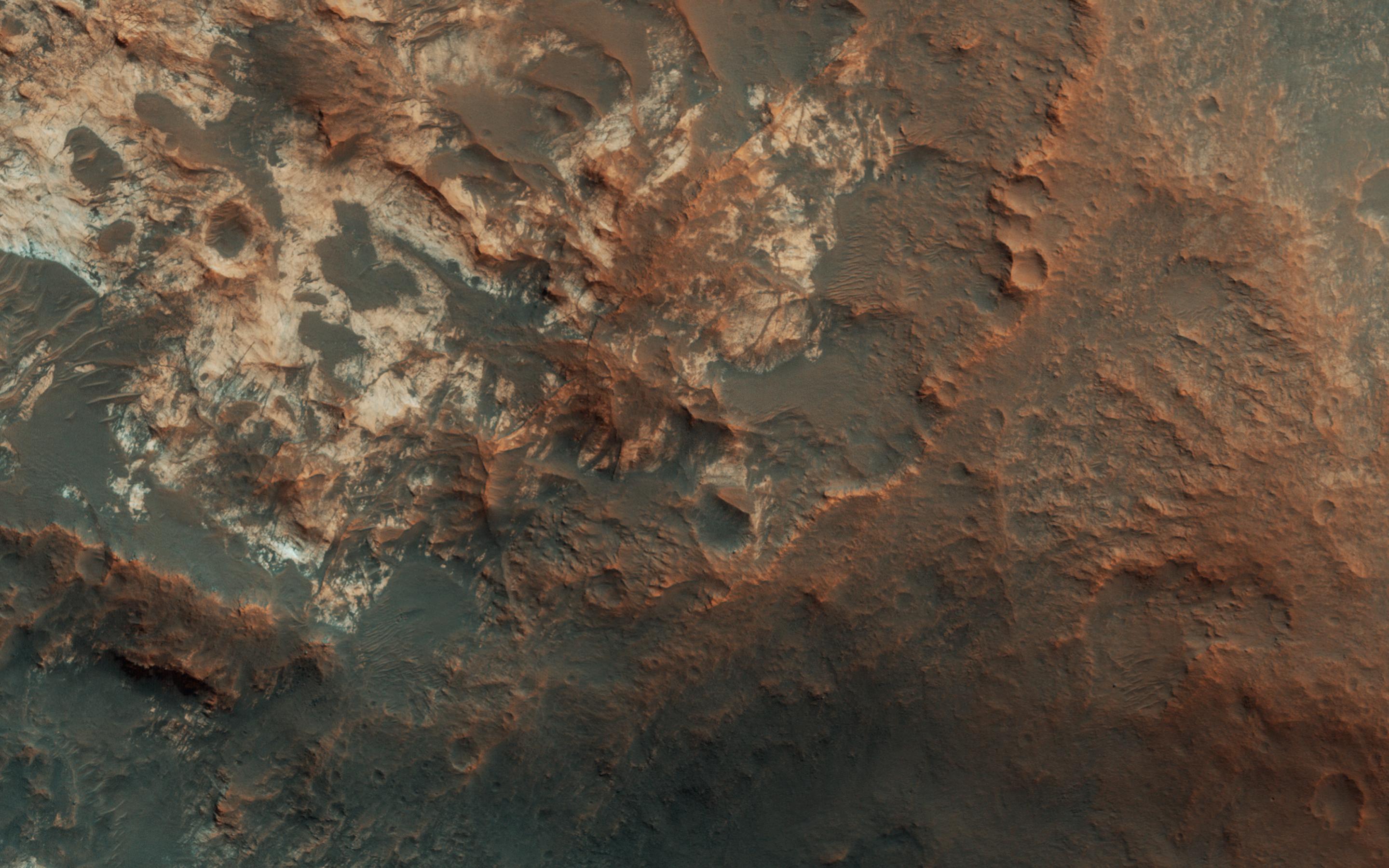
Curiosity Ready to Drill for Gold at the Kimberley
Full Resolution:
TIFF
(15.56 MB)
JPEG
(735.3 kB)
2014-06-04
Mars
Mars Reconnaissance Orbiter (MRO)
HiRISE
2880x1800x1
PIA18513:
An Alluvial Fan in a Low-Latitude Crater
Full Resolution:
TIFF
(5.191 MB)
JPEG
(646.5 kB)
2014-05-22
Mars
Mars Reconnaissance Orbiter (MRO)
HiRISE
2880x1800x1
PIA18772:
Global Eyes on an Impact Prize
Full Resolution:
TIFF
(5.191 MB)
JPEG
(700.7 kB)
2014-10-29
Mars
Mars Reconnaissance Orbiter (MRO)
HiRISE
2880x1800x1
PIA18887:
Which Way is Up?
Full Resolution:
TIFF
(5.191 MB)
JPEG
(506.4 kB)
2015-05-20
Mars
Mars Reconnaissance Orbiter (MRO)
HiRISE
2880x1800x3
PIA18562:
Sedimentary Rock Layers on a Crater Floor
Full Resolution:
TIFF
(15.56 MB)
JPEG
(773.6 kB)
2015-05-20
Mars
Mars Reconnaissance Orbiter (MRO)
HiRISE
2880x1800x3
PIA18563:
Alluvial Fans in Mojave Crater
Full Resolution:
TIFF
(15.56 MB)
JPEG
(898.5 kB)
2015-06-03
Mars
Mars Reconnaissance Orbiter (MRO)
HiRISE
2880x1800x3
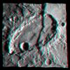
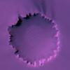
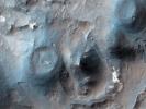
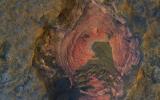
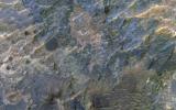
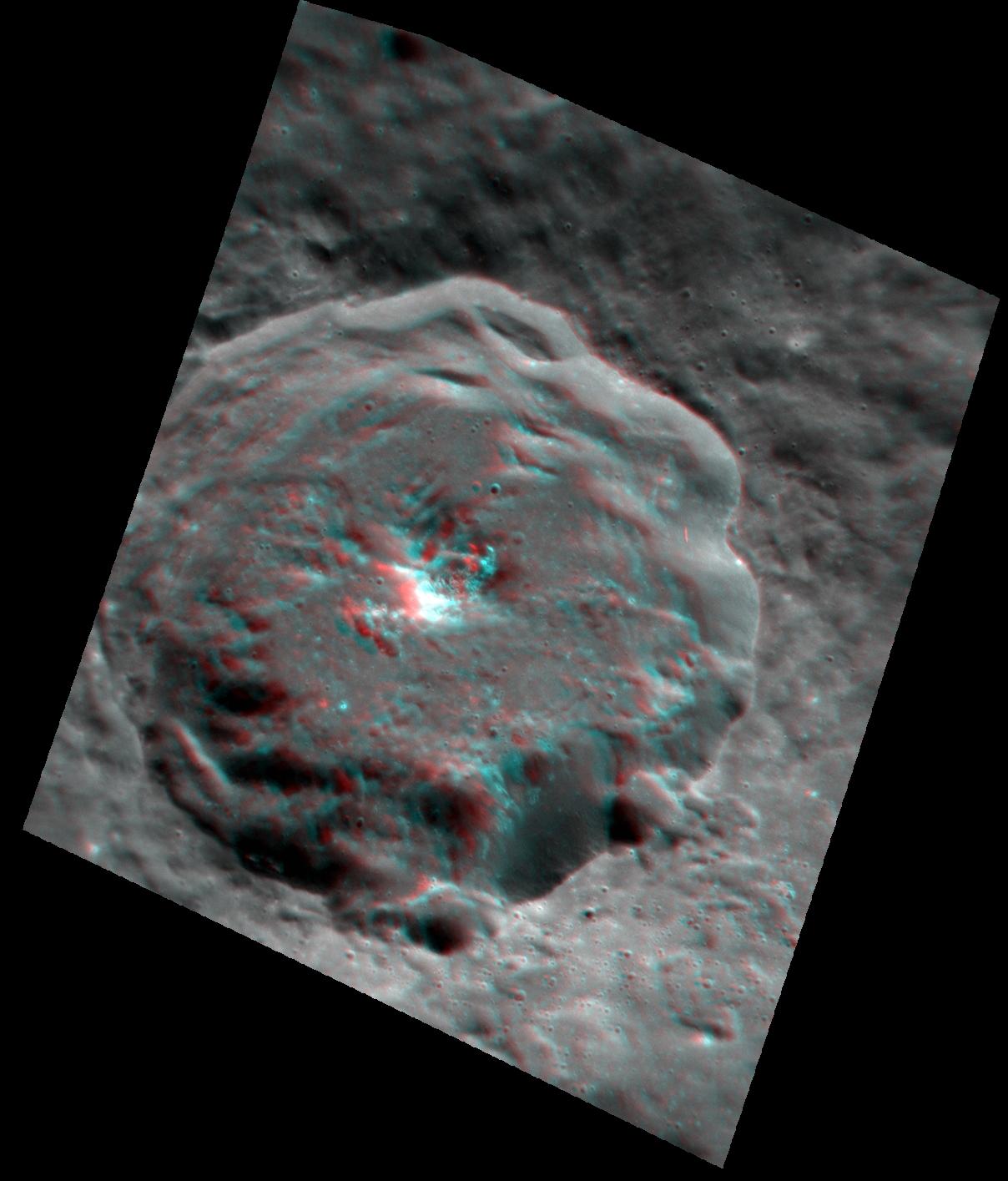
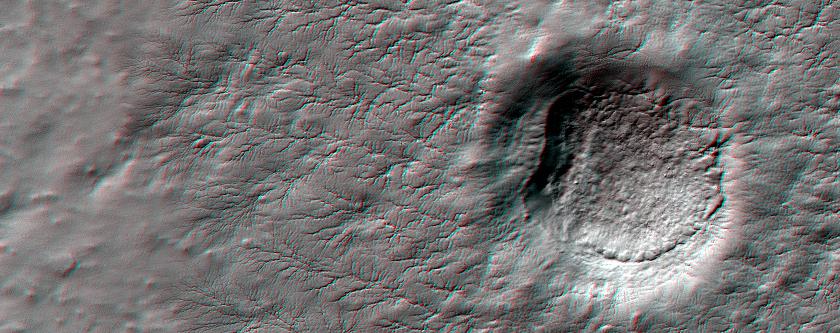
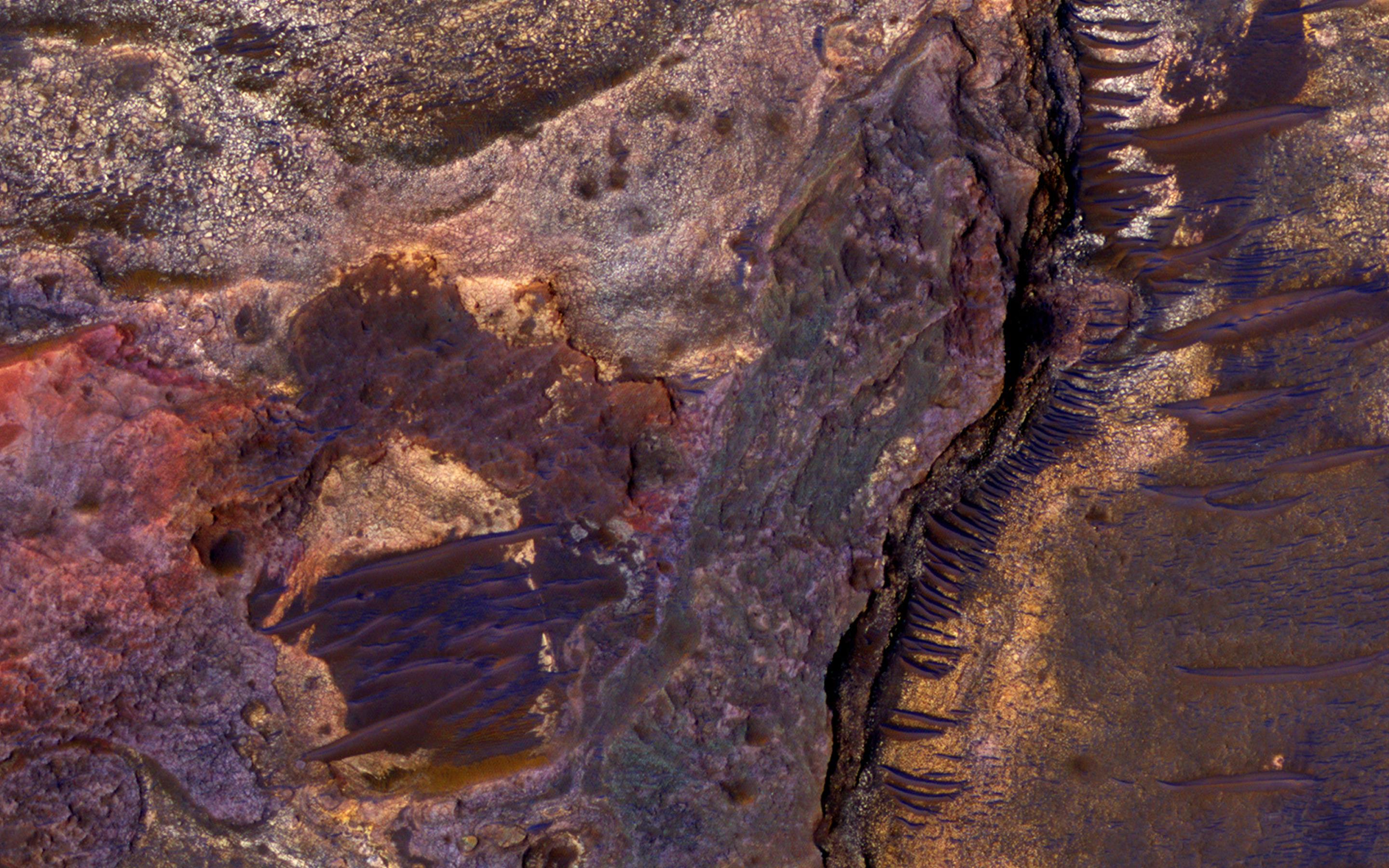
PIA11776:
A Mysterious Bright Streak on the South Polar Layered Deposits
Full Resolution:
TIFF
(15.56 MB)
JPEG
(1.307 MB)
2015-11-27
Mars
Mars Reconnaissance Orbiter (MRO)
HiRISE
2880x1800x1
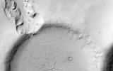
PIA20158:
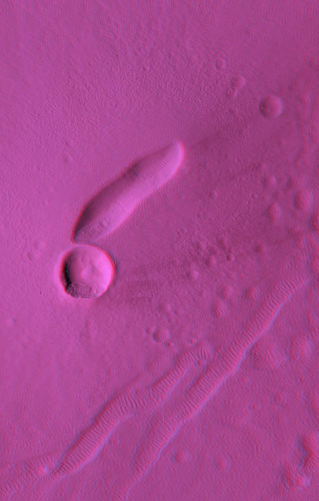
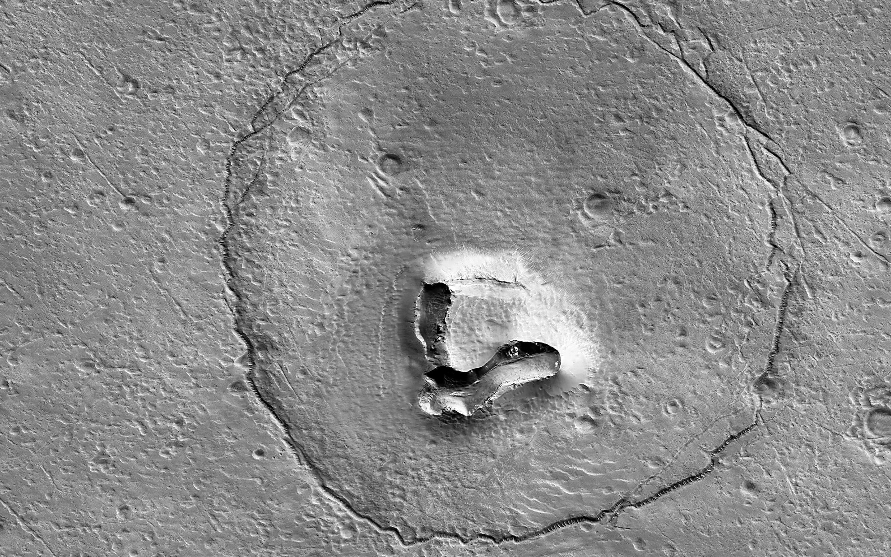
A Youthful Crater in the Cydonia Colles Region
Full Resolution:
TIFF
(5.191 MB)
JPEG
(819.4 kB)
2015-12-23
Mars
Mars Reconnaissance Orbiter (MRO)
HiRISE
2880x1800x1
PIA20290:
Boulders on a Landslide
Full Resolution:
TIFF
(5.191 MB)
JPEG
(1.134 MB)
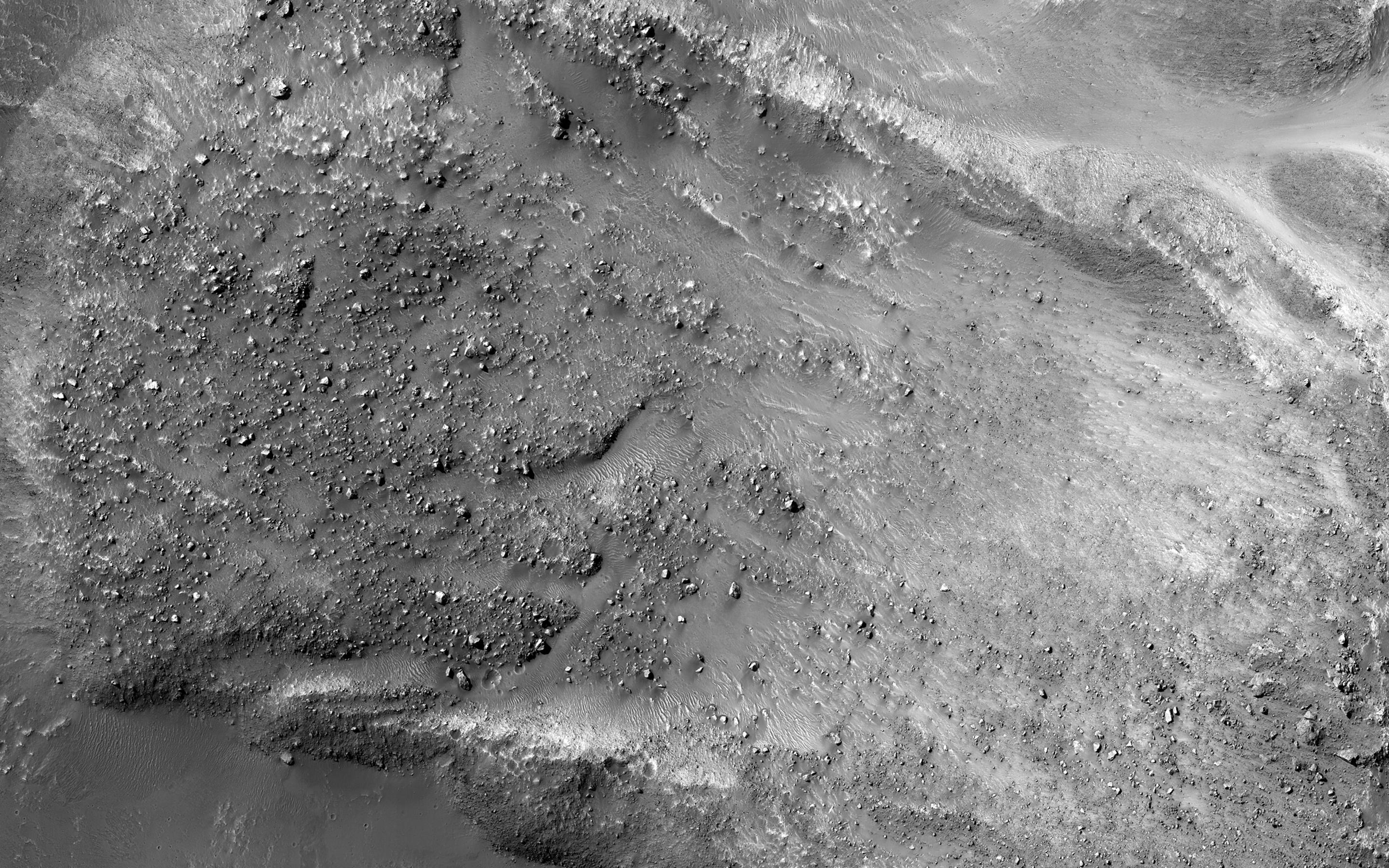
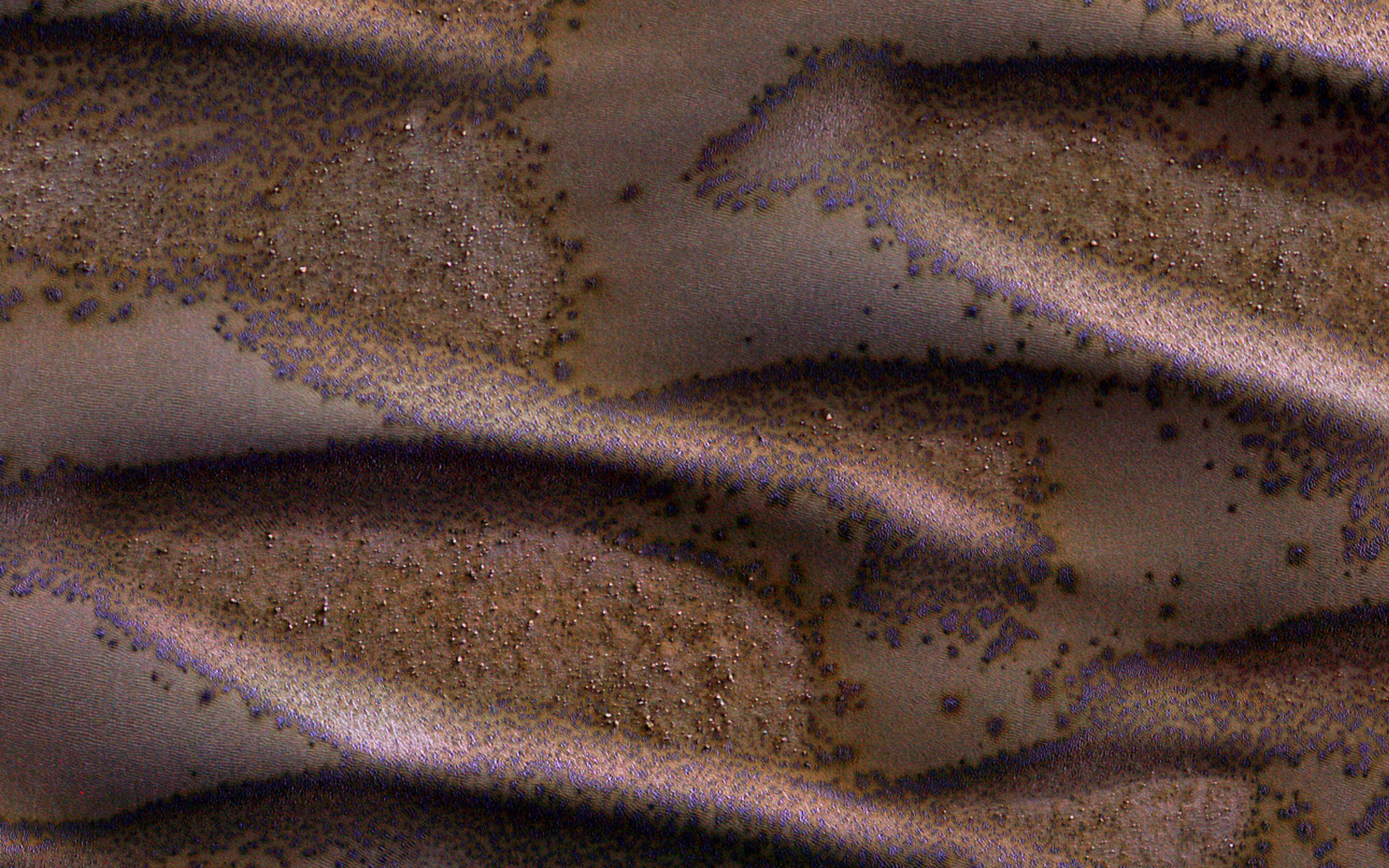
2016-05-18
Mars
Mars Reconnaissance Orbiter (MRO)
HiRISE
2880x1800x3
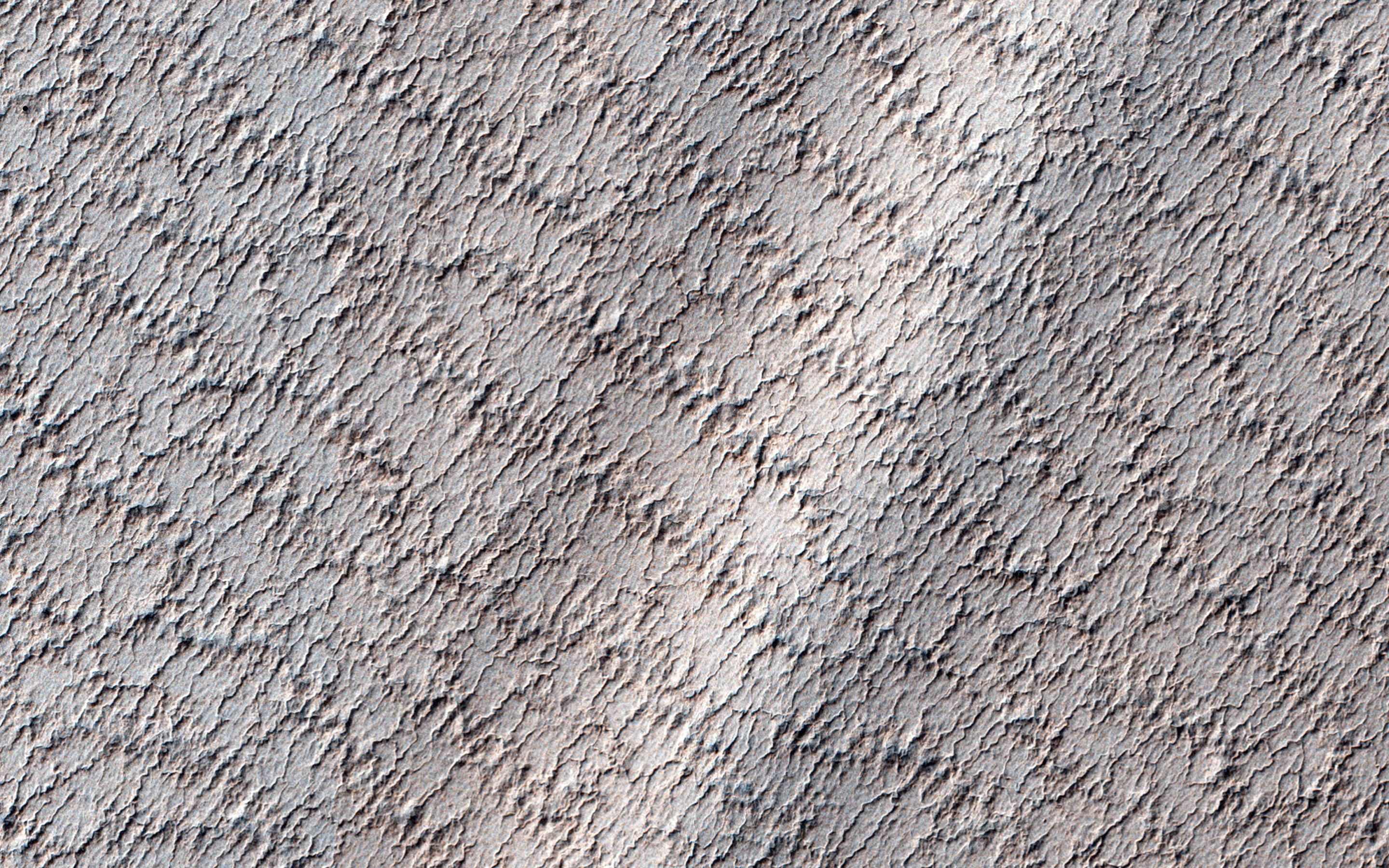
PIA15881:
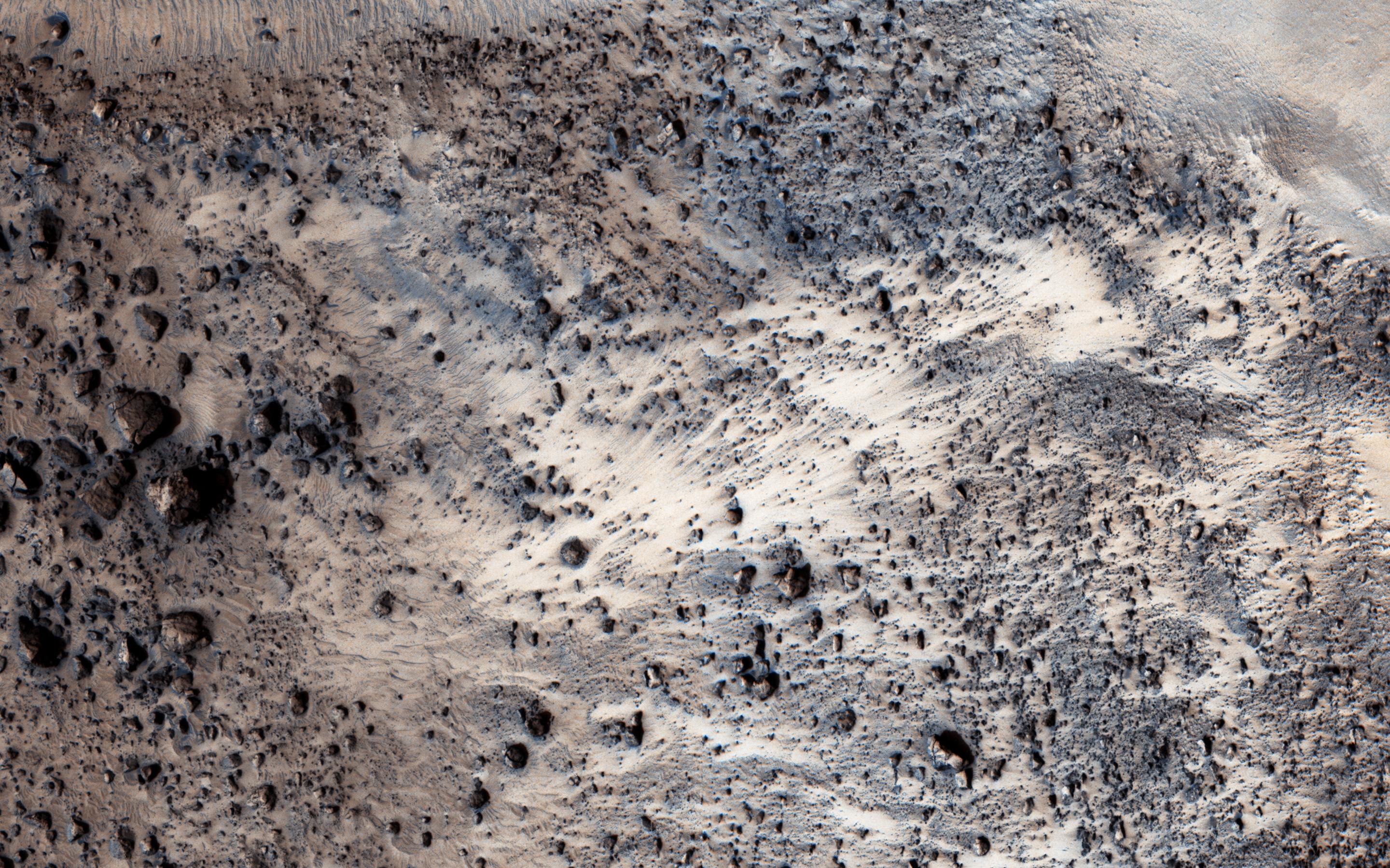
Frosted Dunes
Full Resolution:
TIFF
(15.56 MB)
JPEG
(950.9 kB)
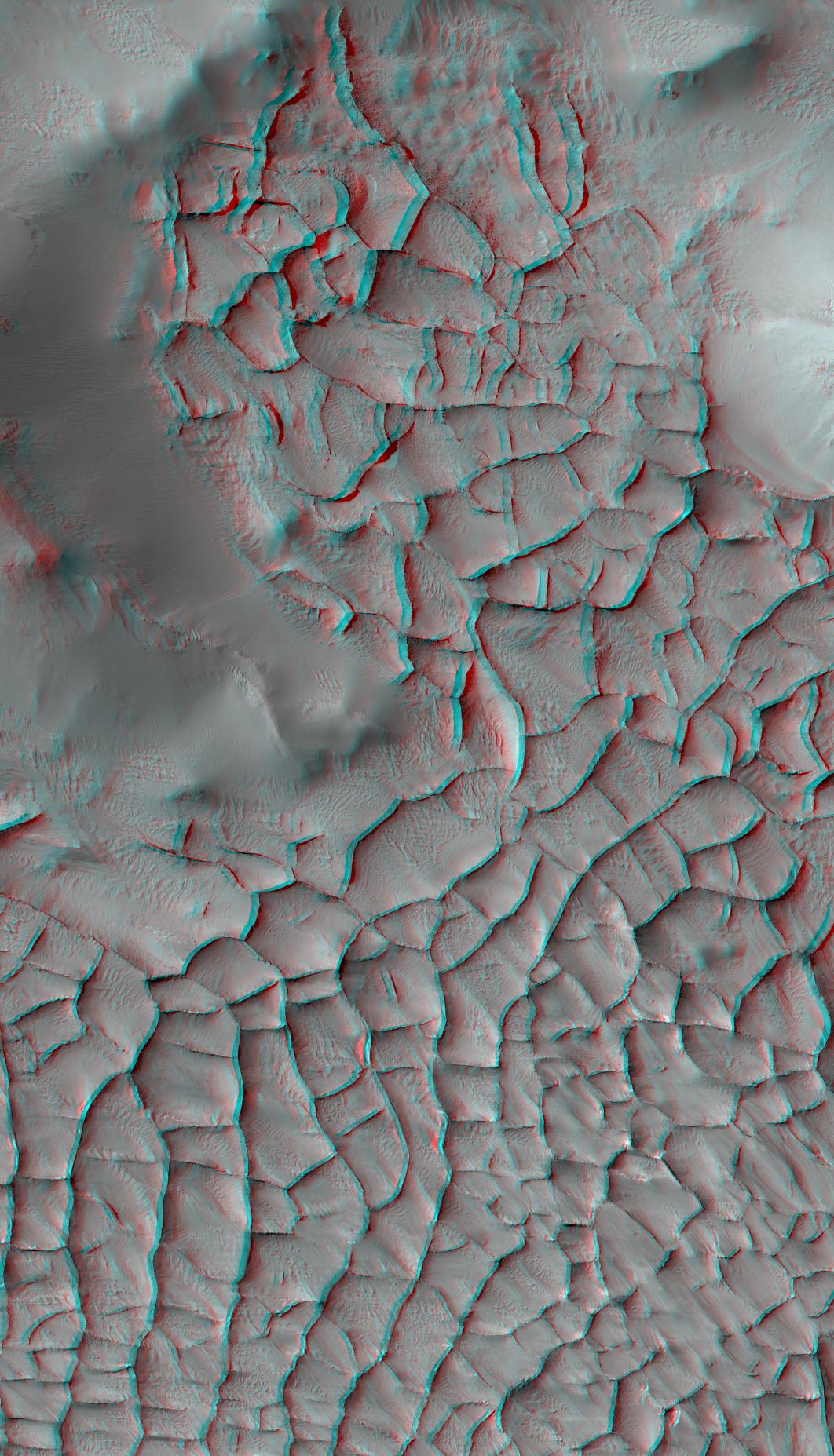
2017-01-25
Mars
Mars Reconnaissance Orbiter (MRO)
HiRISE
1062x1855x3
PIA21265:
Blade-Like Martian Walls Outline Polygons (Stereo)
Full Resolution:
TIFF
(5.31 MB)
JPEG
(331.2 kB)
2017-02-23
Mars
Mars Reconnaissance Orbiter (MRO)
HiRISE
2880x1800x3
PIA21463:
Layers and Dark Dunes
Full Resolution:
TIFF
(15.56 MB)
JPEG
(931.6 kB)
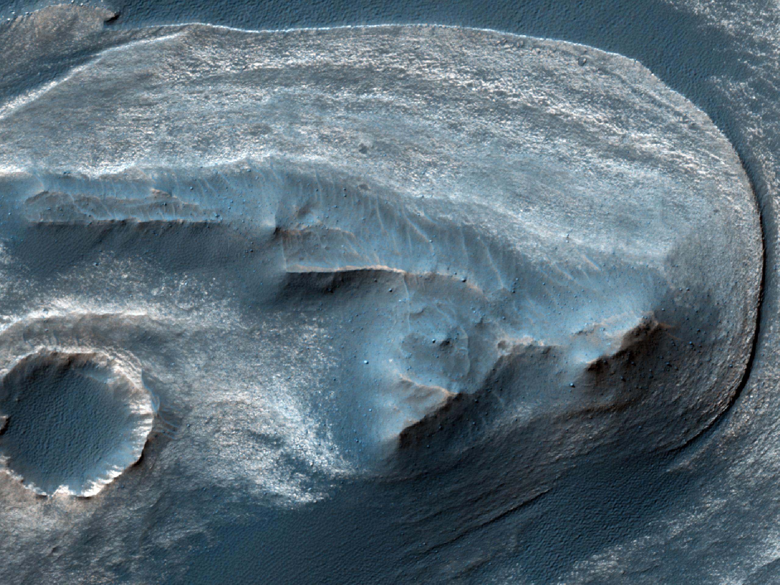
2017-03-06
Mars
Mars Reconnaissance Orbiter (MRO)
HiRISE
2880x1800x3
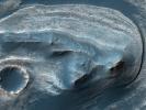
PIA21554:
A Mass of Viscous Flow Features
Full Resolution:
TIFF
(15.56 MB)
JPEG
(924.8 kB)
2017-03-07
Mars
Mars Reconnaissance Orbiter (MRO)
HiRISE
2880x1800x3
PIA21555:
The Entrance to Mawrth Vallis
Full Resolution:
TIFF
(15.56 MB)
JPEG
(597.1 kB)
2017-05-12
Mars
Mars Reconnaissance Orbiter (MRO)
HiRISE
2880x1800x3
PIA21633:
Landslide!
Full Resolution:
TIFF
(15.56 MB)
JPEG
(1.122 MB)
2017-06-01
Mars
Mars Reconnaissance Orbiter (MRO)
HiRISE
2880x1800x1
PIA21652:
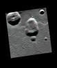
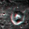
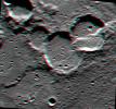
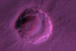
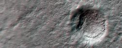
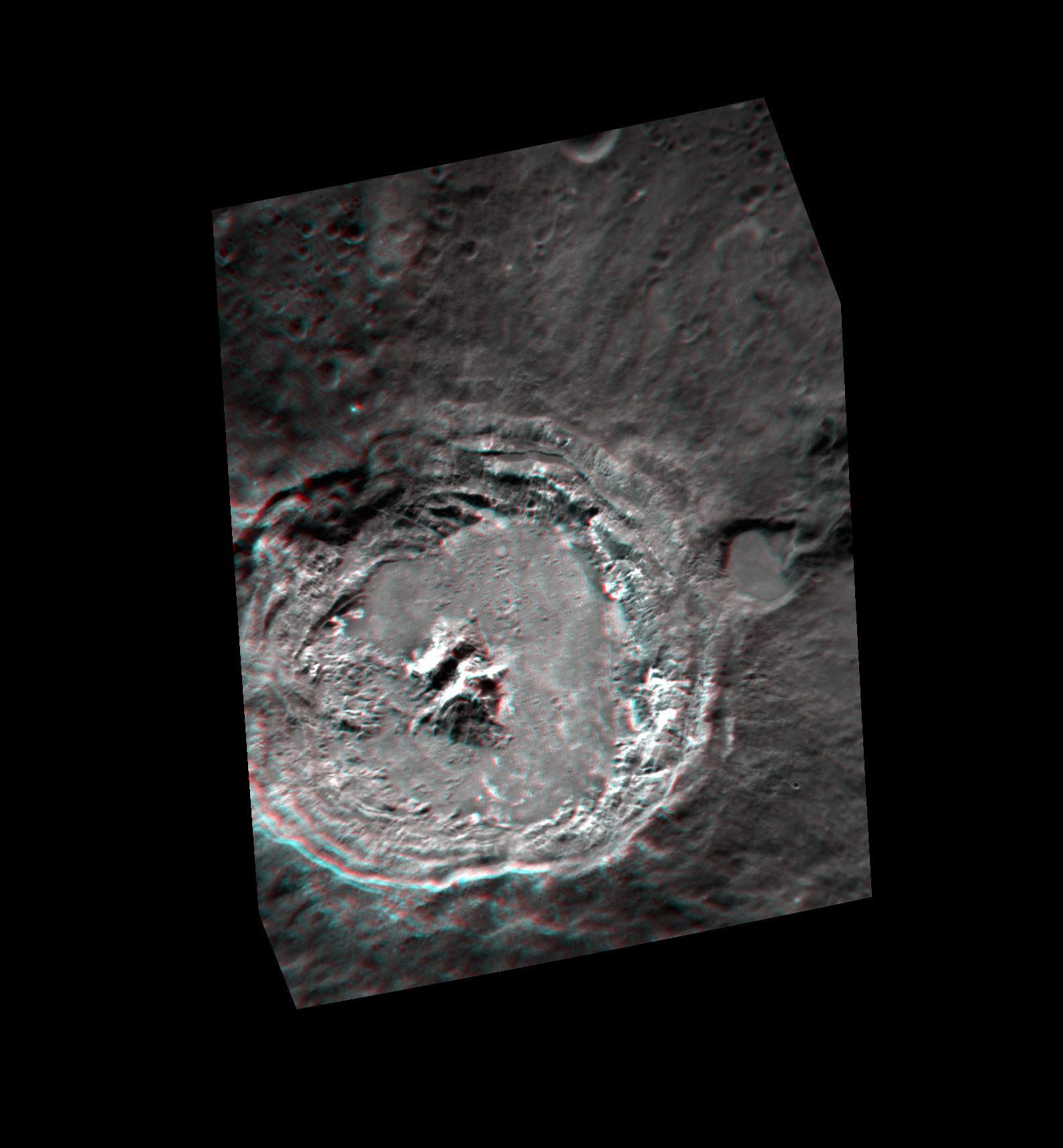
A Triple Crater
Full Resolution:
TIFF
(5.191 MB)
JPEG
(768.3 kB)
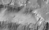
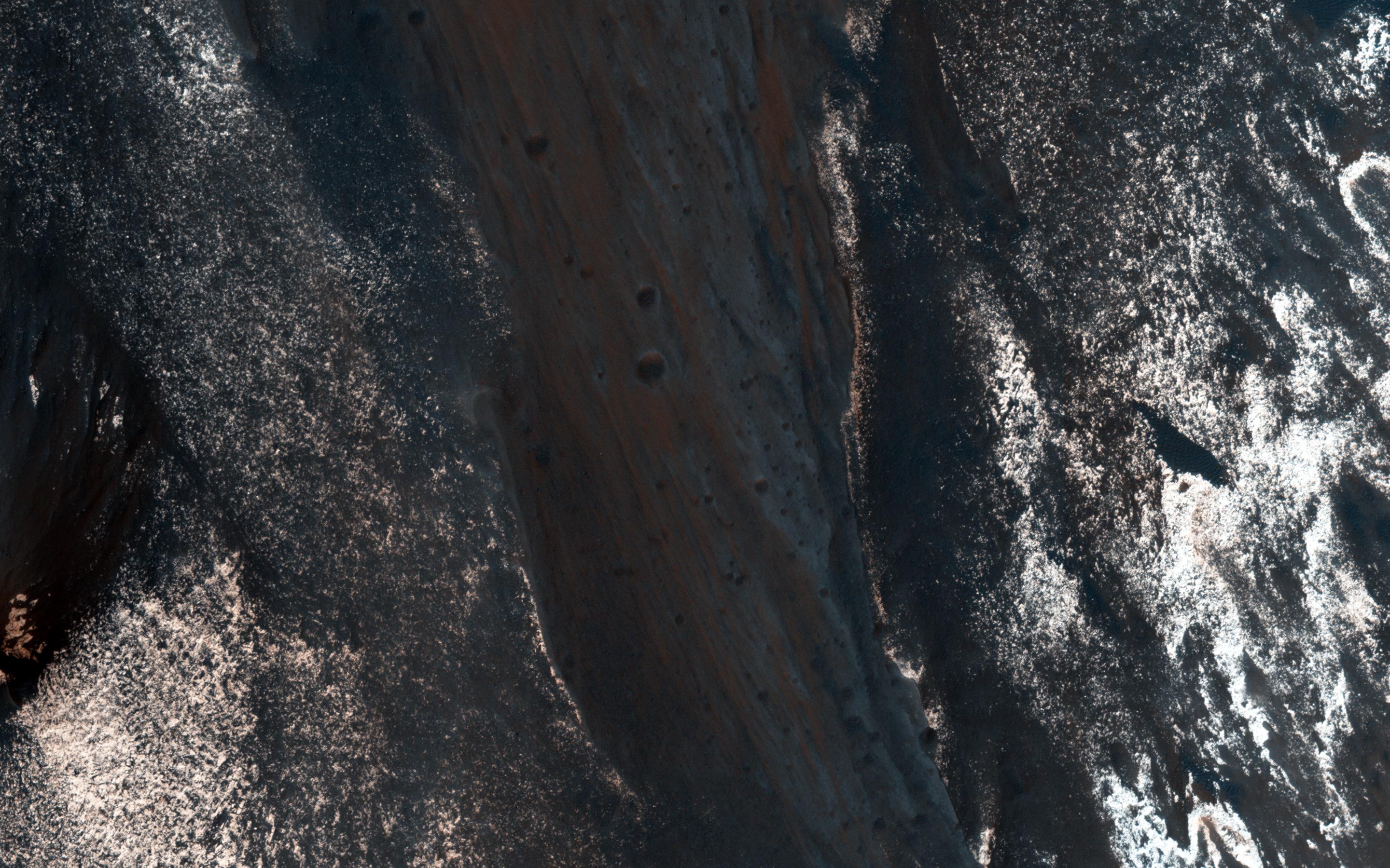
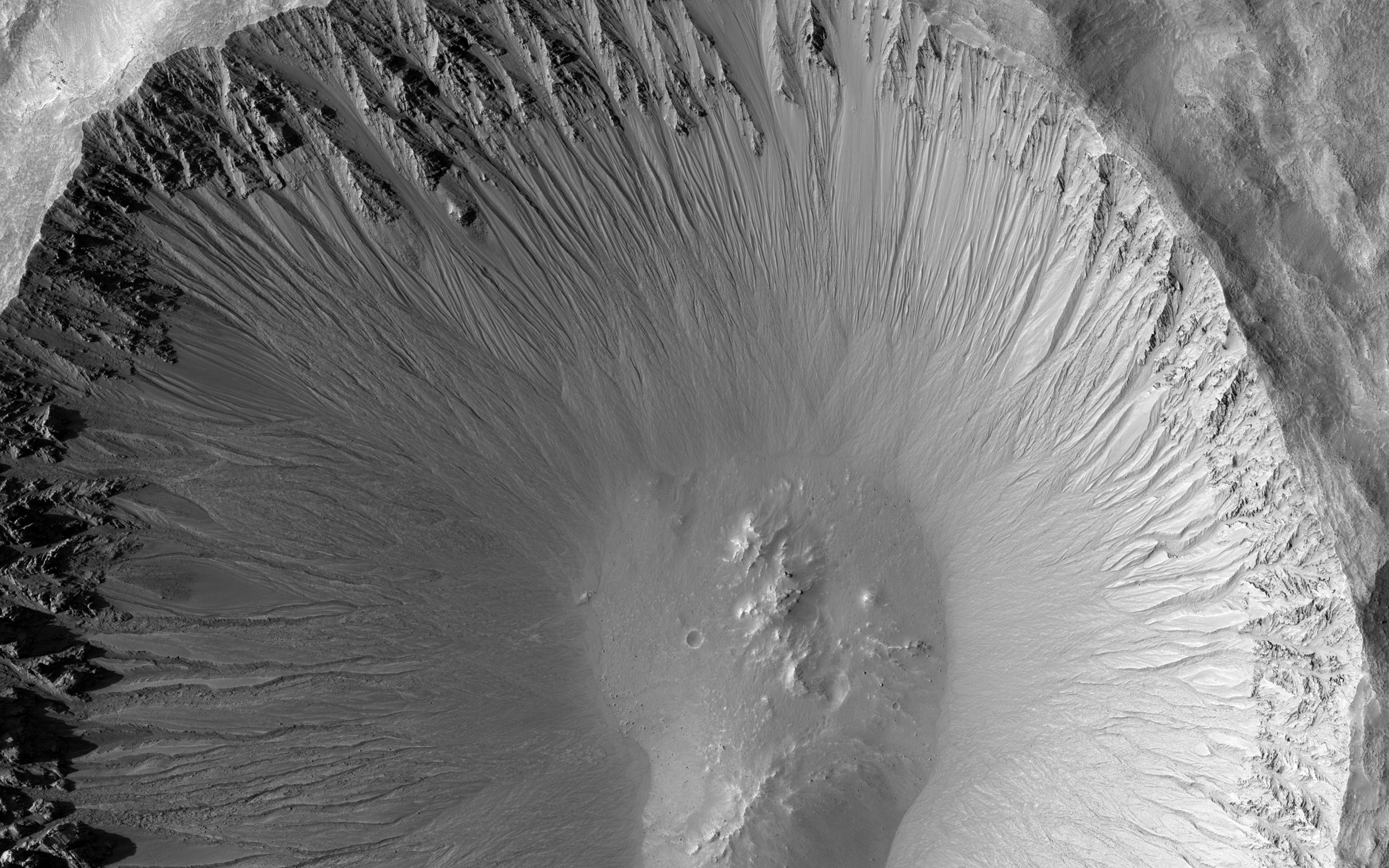
2017-06-26
Mars
Mars Reconnaissance Orbiter (MRO)
HiRISE
12000x7500x1
PIA21763:
The Niagara Falls of Mars
Full Resolution:
TIFF
(65.87 MB)
JPEG
(6.103 MB)
2018-04-02
Mars
Mars Reconnaissance Orbiter (MRO)
HiRISE
4500x3000x1
PIA22347:
Three Channels Exiting a Crater Lake
Full Resolution:
TIFF
(13.52 MB)
JPEG
(3.068 MB)
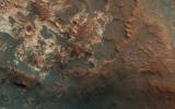
2019-03-04
Mars
Mars Reconnaissance Orbiter (MRO)
HiRISE
2880x1800x3
PIA23079:
Colorful Impact Ejecta in Ladon Valles
Full Resolution:
TIFF
(15.56 MB)
JPEG
(1.111 MB)
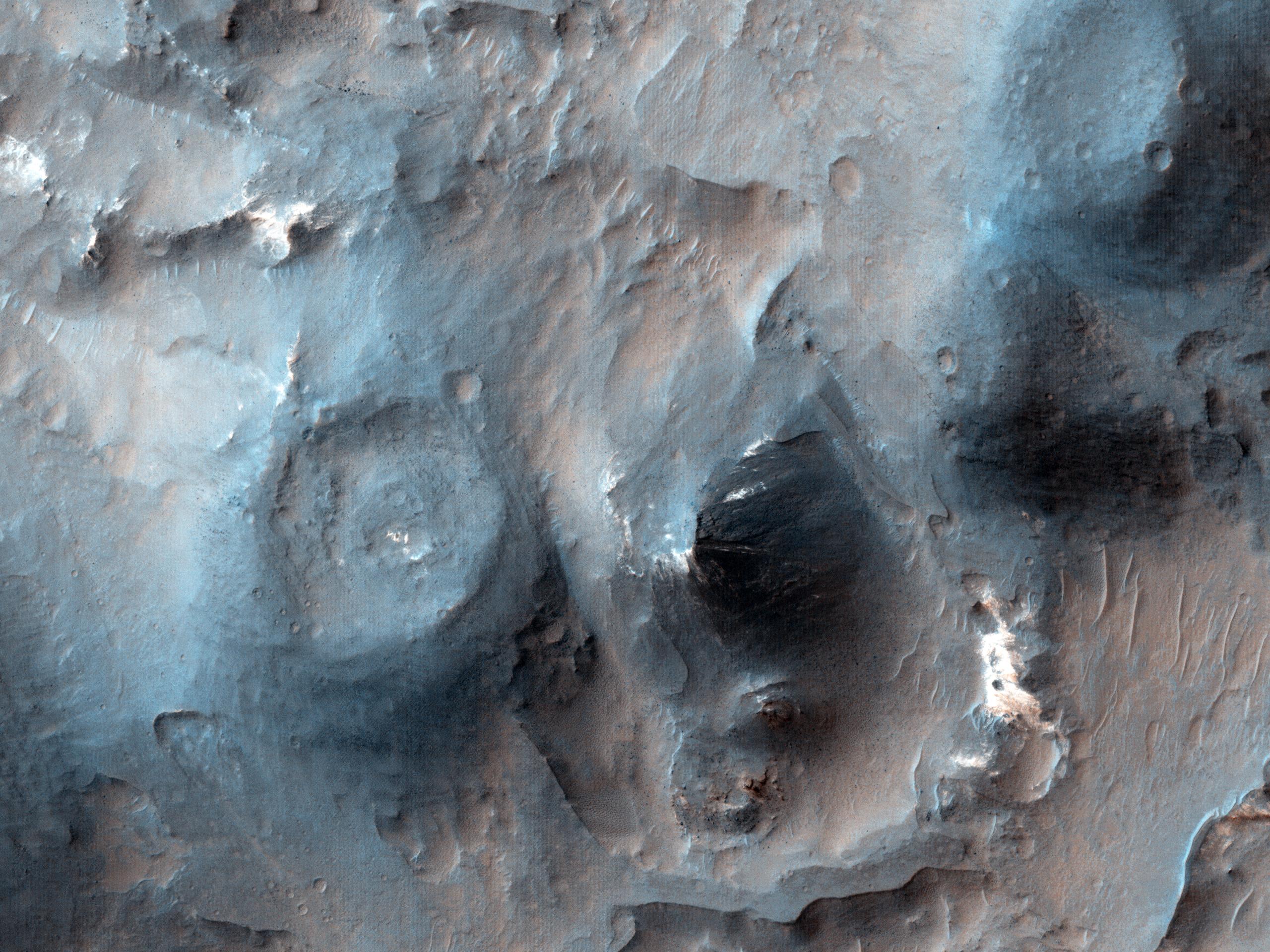
2019-03-18
Mars
Mars Reconnaissance Orbiter (MRO)
HiRISE
2880x1800x3
PIA23100:
Complex Gullies in a Crater
Full Resolution:
TIFF
(15.56 MB)
JPEG
(1.584 MB)
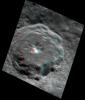
2023-01-31
Mars
Mars Reconnaissance Orbiter (MRO)
HiRISE
2880x1800x3
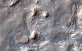
PIA25709:
A Bear on Mars?
Full Resolution:
TIFF
(8.108 MB)
JPEG
(1.166 MB)
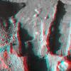
1997-07-11
Mars
Mars Pathfinder (MPF)
Imager for Mars Pathfinder
1280x960x3
PIA00674:
Forward Ramp in 3-D
Full Resolution:
TIFF
(3.137 MB)
JPEG
(195.5 kB)
1997-07-11
Mars
Mars Pathfinder (MPF)
Imager for Mars Pathfinder
800x600x3
PIA00675:
Martian Terrain & Wedge in 3-D
Full Resolution:
TIFF
(1.114 MB)
JPEG
(67.22 kB)
1997-07-13
Mars
Mars Pathfinder (MPF)
Imager for Mars Pathfinder
640x480x3
PIA00676:
Martian Terrain & Wedge in 3-D
Full Resolution:
TIFF
(704.5 kB)
JPEG
(43.06 kB)
1997-07-13
Mars
Mars Pathfinder (MPF)
Imager for Mars Pathfinder
640x480x3
PIA00677:
Forward Ramp & Low-gain Antenna in 3-D
Full Resolution:
TIFF
(831.7 kB)
JPEG
(54.51 kB)
1997-07-13
Mars
Mars Pathfinder (MPF)
Imager for Mars Pathfinder
800x600x3
PIA00678:
Sojourner's Favorite Rocks - in 3-D
Full Resolution:
TIFF
(1.206 MB)
JPEG
(76.53 kB)
1-100
101-200
201-300
301-400
401-500
501-600
Currently displaying images:
101 - 200
of 561


