|
Your search criteria found 561 images Feature Name |
| My List |
Addition Date |
Target
|
Mission | Instrument | Size |

|
2004-12-21 |
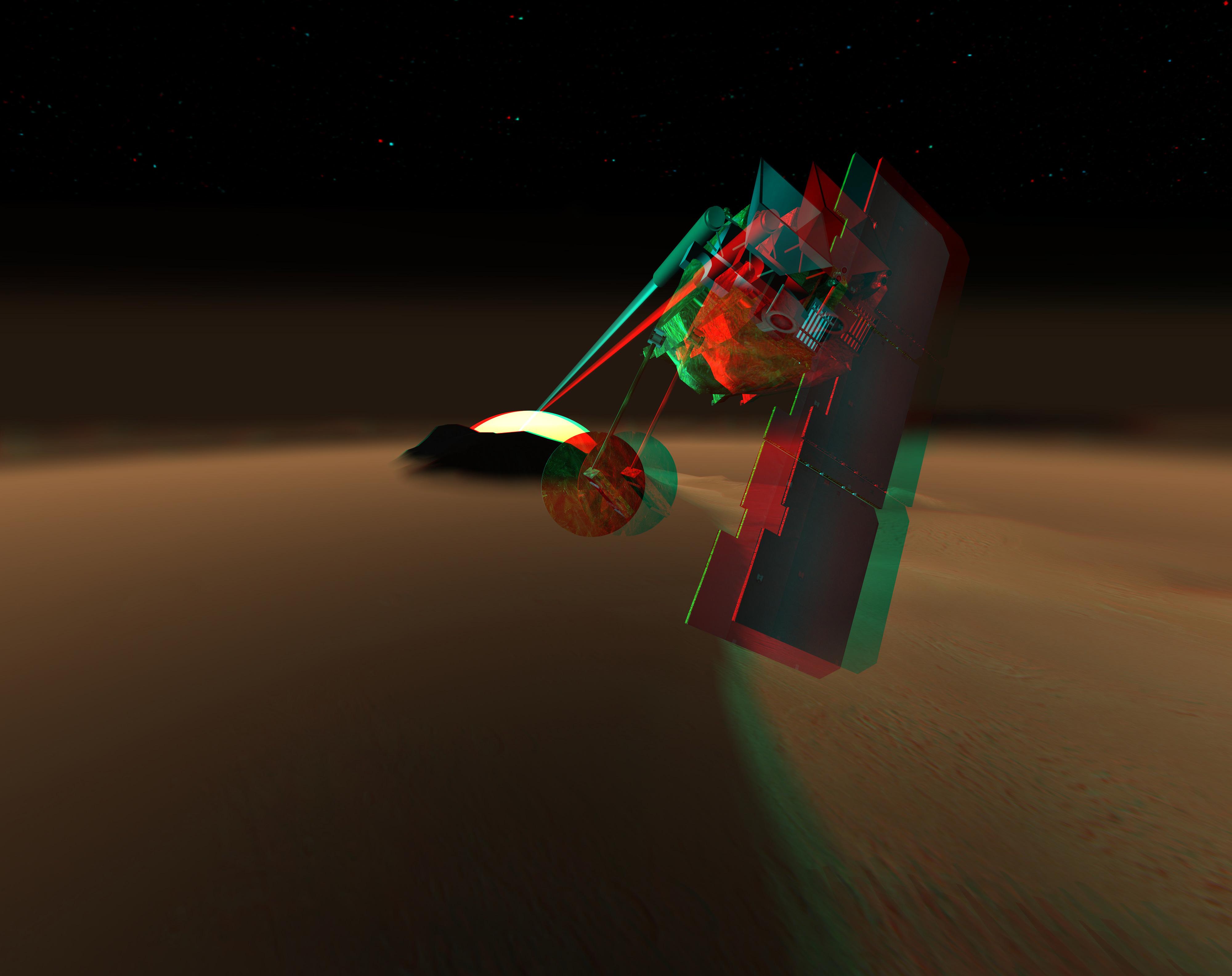
Mars Volcanic Emission Life Scout (MARVEL) |
Mars Volcanic Emission Life Scout (MARVEL) |
4000x3170x3 | |
|
|||||
|
|
2005-05-19 |
2001 Mars Odyssey Mars Global Surveyor (MGS) |
Mars Orbiter Camera (MOC) |
350x350x3 | |
|
|||||
|
|
2007-05-10 |
Phoenix |
8000x5000x3 | ||
|
|||||
|
|
2011-07-22 |
Mars Science Laboratory (MSL) |
3790x2532x3 | ||

|
|||||
|
|
2011-12-09 |
Mars Science Laboratory (MSL) |
4308x2828x3 | ||
|
|||||
|
|
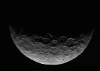
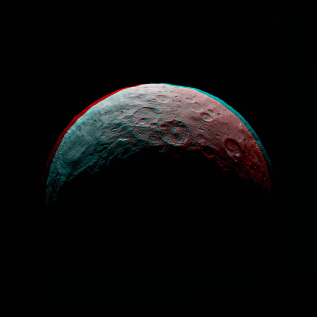
2015-04-29 | Ceres |
Dawn |
Framing Camera |
866x616x1 |
|
|||||
|
|
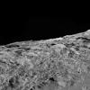
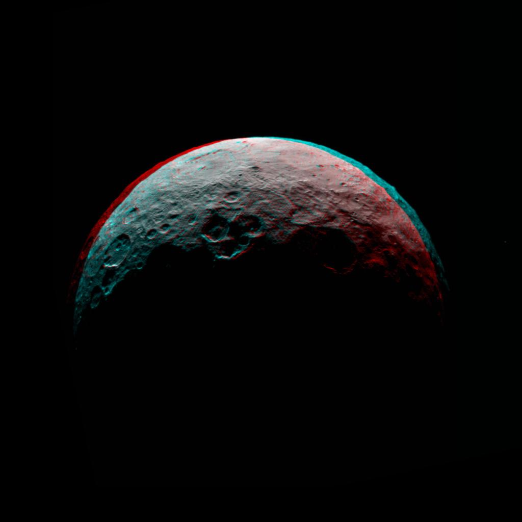
2015-04-29 | Ceres |
Dawn |
Framing Camera |
1024x1024x3 |

|
|||||
|
|
2015-05-05 | Ceres |
Dawn |
Framing Camera |
1024x1024x3 |

|
|||||
|
|
2015-05-06 | Ceres |
Dawn |
Framing Camera |
1024x1024x3 |

|
|||||
|
|
2015-05-07 | Ceres |
Dawn |
Framing Camera |
1024x1024x3 |

|
|||||
|
|
2015-12-22 | Ceres |
Dawn |
Framing Camera |
1024x1024x1 |

|
|||||
|
|
2015-12-22 | Ceres |
Dawn |
Framing Camera |
1024x1024x1 |
|
|||||
|
|
2016-03-07 | Ceres |
Dawn |
Framing Camera |
3840x2160x1 |

|
|||||
|
|
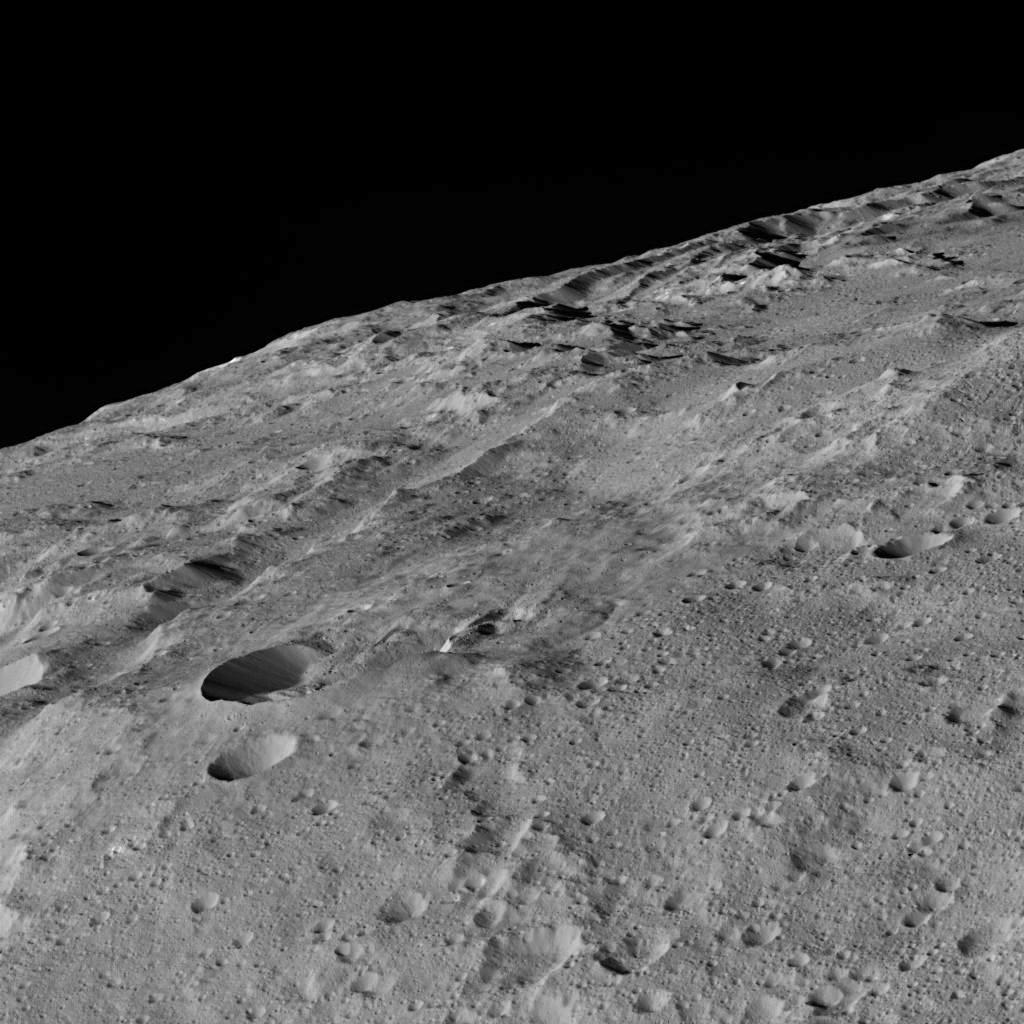
2017-03-09 | Ceres |
Dawn |
Framing Camera |
1019x816x3 |
|
|||||
|
|
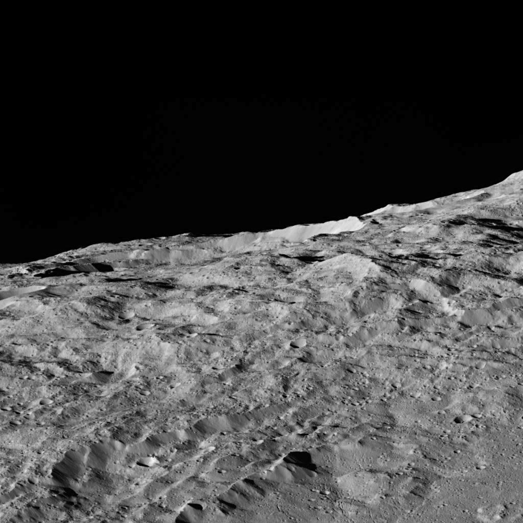
2018-11-15 | Ceres |
Dawn |
Framing Camera |
1261x1391x3 |
|
|||||
|
|
2018-11-15 | Ceres |
Dawn |
Framing Camera |
1308x1493x3 |
|
|||||
|
|
2018-11-15 | Ceres |
Dawn |
Framing Camera |
1384x1541x3 |
|
|||||
|
|
2018-11-15 | Ceres |
Dawn |
Framing Camera |
2644x2317x3 |
|
|||||
|
|
2018-11-15 | Ceres |
Dawn |
Framing Camera |
1315x1512x3 |
|
|||||
|
|
2020-08-10 | Ceres |
Dawn |
Framing Camera |
13248x4826x3 |
|
|||||
|
|
2020-08-10 | Ceres |
Dawn |
Framing Camera |
2413x1488x3 |
|
|||||
|
|
2020-08-10 | Ceres |
Dawn |
Framing Camera |
1920x1674x3 |
|
|||||
|
|
2020-08-10 | Ceres |
Dawn |
Framing Camera |
1234x1065x3 |
|
|||||
|
|
2006-12-29 | Dione |
Cassini-Huygens |
ISS - Narrow Angle |
1000x1000x3 |
|
|||||
|
|
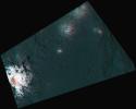
2000-04-19 | Earth |
Terra |
MISR |
1906x981x3 |
|
|||||
|
|
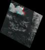
2000-06-20 | Earth |
Terra |
MISR |
2548x3800x3 |
|
|||||
|
|
2000-07-08 | Earth |
Terra |
MISR |
584x900x3 |
|
|||||
|
|
2000-08-02 | Earth |
Terra |
MISR |
959x861x3 |
|
|||||
|
|
2000-09-27 | Earth |
Terra |
MISR |
1148x819x3 |
|
|||||
|
|
2000-10-18 | Earth |
Terra |
MISR |
1728x1043x3 |
|
|||||
|
|
2000-12-13 | Earth |
Terra |
MISR |
1600x1261x3 |
|
|||||
|
|
2000-02-16 | Earth |
Landsat Shuttle Radar Topography Mission (SRTM) |
C-Band Interferometric Radar Thematic Mapper |
1412x1588x3 |
|
|||||
|
|
2000-02-18 | Earth |
Shuttle Radar Topography Mission (SRTM) |
C-Band Interferometric Radar |
737x797x3 |
|
|||||
|
|
2000-02-20 | Earth |
Landsat Shuttle Radar Topography Mission (SRTM) |
C-Band Interferometric Radar Thematic Mapper |
940x658x3 |
|
|||||
|
|
2000-02-21 | Earth |
Shuttle Radar Topography Mission (SRTM) |
C-Band Interferometric Radar |
1929x1800x3 |
|
|||||
|
|
2000-03-10 | Earth |
Landsat Shuttle Radar Topography Mission (SRTM) |
C-Band Interferometric Radar Thematic Mapper |
1218x1366x3 |
|
|||||
|
|
2000-04-13 | Earth |
Landsat Shuttle Radar Topography Mission (SRTM) |
C-Band Interferometric Radar Thematic Mapper |
839x651x3 |
|
|||||
|
|
2000-05-11 | Earth |
Landsat Shuttle Radar Topography Mission (SRTM) |
C-Band Interferometric Radar Thematic Mapper |
2158x1540x3 |
|
|||||
|
|
2000-06-01 | Earth |
Shuttle Radar Topography Mission (SRTM) |
C-Band Interferometric Radar |
669x1427x3 |
|
|
|||||
|
|
2000-06-22 | Earth |
Landsat Shuttle Radar Topography Mission (SRTM) |
C-Band Interferometric Radar Thematic Mapper |
2920x4236x3 |
|
|||||
|
|
2000-06-29 | Earth |
Landsat Shuttle Radar Topography Mission (SRTM) |
C-Band Interferometric Radar Thematic Mapper |
506x798x3 |
|
|||||
|
|
2000-07-13 | Earth |
Landsat Shuttle Radar Topography Mission (SRTM) |
C-Band Interferometric Radar Thematic Mapper |
1631x956x3 |
|
|||||
|
|
2000-07-20 | Earth |
Landsat Shuttle Radar Topography Mission (SRTM) |
C-Band Interferometric Radar Thematic Mapper |
718x907x3 |
|
|||||
|
|
2000-07-27 | Earth |
Landsat Shuttle Radar Topography Mission (SRTM) |
C-Band Interferometric Radar Thematic Mapper |
999x1335x3 |
|
|||||
|
|
2000-08-31 | Earth |
Landsat Shuttle Radar Topography Mission (SRTM) |
C-Band Interferometric Radar Thematic Mapper |
499x801x3 |

|
|||||
|
|
2000-09-21 | Earth |
Landsat Shuttle Radar Topography Mission (SRTM) |
C-Band Interferometric Radar Thematic Mapper |
1786x2356x3 |
|
|||||
|
|
2000-10-20 | Earth |
Landsat Shuttle Radar Topography Mission (SRTM) |
C-Band Interferometric Radar Thematic Mapper |
1212x1518x3 |
|
|||||
|
|
2000-11-02 | Earth |
Shuttle Radar Topography Mission (SRTM) |
C-Band Interferometric Radar |
1703x1181x3 |
|
|||||
|
|
2001-04-05 | Earth |
Landsat Shuttle Radar Topography Mission (SRTM) |
C-Band Interferometric Radar Thematic Mapper |
451x691x3 |
|
|||||
|
|
2001-05-02 | Earth |
Landsat Shuttle Radar Topography Mission (SRTM) |
C-Band Interferometric Radar Thematic Mapper |
477x745x3 |
|
|||||
|
|
2001-05-24 | Earth |
Landsat Shuttle Radar Topography Mission (SRTM) |
C-Band Interferometric Radar Thematic Mapper |
941x1304x3 |
|
|||||
|
|
2001-05-31 | Earth |
Landsat Shuttle Radar Topography Mission (SRTM) |
C-Band Interferometric Radar Thematic Mapper |
398x710x3 |
|
|||||
|
|
2001-06-14 | Earth |
Shuttle Radar Topography Mission (SRTM) |
C-Band Interferometric Radar |
1935x1240x3 |
|
|||||
|
|
2001-07-05 | Earth |
Shuttle Radar Topography Mission (SRTM) |
C-Band Interferometric Radar |
1600x1763x3 |
|
|||||
|
|
2001-07-26 | Earth |
Shuttle Radar Topography Mission (SRTM) |
C-Band Interferometric Radar |
2020x1350x3 |
|
|||||
|
|
2001-08-03 | Earth |
Shuttle Radar Topography Mission (SRTM) |
C-Band Interferometric Radar |
2501x1201x3 |
|
|||||
|
|
2001-08-16 | Earth |
Shuttle Radar Topography Mission (SRTM) |
C-Band Interferometric Radar |
1090x1480x3 |
|
|||||
|
|
2001-08-24 | Earth |
Shuttle Radar Topography Mission (SRTM) |
C-Band Interferometric Radar |
1630x1200x3 |
|
|||||
|
|
2001-09-01 | Earth |
Shuttle Radar Topography Mission (SRTM) |
C-Band Interferometric Radar |
1910x1215x3 |
|
|||||
|
|
2002-02-01 | Earth |
Landsat Shuttle Radar Topography Mission (SRTM) |
C-Band Interferometric Radar Thematic Mapper |
1384x2022x3 |
|
|||||
|
|
2002-02-06 | Earth |
Landsat Shuttle Radar Topography Mission (SRTM) |
C-Band Interferometric Radar Thematic Mapper |
925x2385x3 |
|
|
|||||
|
|
2002-02-28 | Earth |
Landsat Shuttle Radar Topography Mission (SRTM) |
C-Band Interferometric Radar Thematic Mapper |
1958x799x3 |
|
|||||
|
|
2001-05-16 | Earth |
Terra |
MISR |
1536x1579x3 |
|
|||||
|
|
2001-05-23 | Earth |
Terra |
MISR |
1300x1550x3 |
|
|||||
|
|
2001-06-20 | Earth |
Terra |
MISR |
1356x1932x3 |
|
|||||
|
|
2001-07-25 | Earth |
Terra |
MISR |
1594x1444x3 |
|
|||||
|
|
2001-08-01 | Earth |
Terra |
MISR |
1736x1328x3 |
|
|||||
|
|
2001-09-19 | Earth |
Terra |
MISR |
1737x981x3 |
|
|||||
|
|
2001-10-10 | Earth |
Terra |
MISR |
730x900x3 |
|
|||||
|
|
2001-11-28 | Earth |
Terra |
MISR |
1698x2372x3 |
|
|||||
|
|
2002-01-16 | Earth |
Terra |
MISR |
1728x1974x3 |
|
|||||
|
|
2002-03-13 | Earth |
Terra |
MISR |
1328x1229x3 |
|
|||||
|
|
2002-05-22 | Earth |
Terra |
MISR |
1063x1565x3 |

|
|||||
|
|
2002-06-12 | Earth |
Terra |
MISR |
1660x933x3 |
|
|||||
|
|
2002-09-12 | Earth |
Landsat Shuttle Radar Topography Mission (SRTM) |
C-Band Interferometric Radar Thematic Mapper |
339x620x3 |

|
|||||
|
|
2002-09-19 | Earth |
Landsat Shuttle Radar Topography Mission (SRTM) |
C-Band Interferometric Radar Thematic Mapper |
1009x1600x3 |
|
|||||
|
|
2002-09-26 | Earth |
Shuttle Radar Topography Mission (SRTM) |
C-Band Interferometric Radar |
1200x1200x3 |
|
|||||
|
|
2002-10-09 | Earth |
Terra |
MISR |
3584x3252x3 |
|
|||||
|
|
2002-11-13 | Earth |
Terra |
MISR |
1079x984x3 |

|
|||||
|
|
2003-01-02 | Earth |
Terra |
MISR |
1522x1789x3 |
|
|||||
|
|
2003-03-06 | Earth |
Shuttle Radar Topography Mission (SRTM) |
C-Band Interferometric Radar |
9600x7240x3 |

|
|||||
|
|
2003-03-06 | Earth |
Shuttle Radar Topography Mission (SRTM) |
C-Band Interferometric Radar |
1600x1080x3 |
|
|||||
|
|
2003-03-13 | Earth |
Shuttle Radar Topography Mission (SRTM) |
C-Band Interferometric Radar |
1587x1536x3 |
|
|||||
|
|
2003-03-26 | Earth |
Terra |
MISR |
1344x2219x3 |

|
|||||
|
|
2003-03-27 | Earth |
Shuttle Radar Topography Mission (SRTM) |
C-Band Interferometric Radar |
1573x2401x3 |
|
|||||
|
|
2003-04-09 | Earth |
Terra |
MISR |
1362x1824x3 |
|
|||||
|
|
2003-05-01 | Earth |
Landsat Shuttle Radar Topography Mission (SRTM) |
C-Band Interferometric Radar Thematic Mapper |
3262x3162x3 |
|
|||||
|
|
2003-06-19 | Earth |
Shuttle Radar Topography Mission (SRTM) |
C-Band Interferometric Radar |
7200x10886x3 |

|
|||||
|
|
2003-07-03 | Earth |
Landsat Shuttle Radar Topography Mission (SRTM) |
C-Band Interferometric Radar |
2805x1705x3 |
|
|||||
|
|
2003-12-10 | Earth |
Terra |
MISR |
1062x860x3 |
|
|||||
|
|
2004-06-17 | Earth |
Shuttle Radar Topography Mission (SRTM) |
C-Band Interferometric Radar X-Band Radar |
1588x1060x3 |
|
|||||
|
|
2004-06-17 | Earth |
Landsat Shuttle Radar Topography Mission (SRTM) |
C-Band Interferometric Radar X-Band Radar |
4463x3000x3 |
|
|||||
|
|
2004-06-17 | Earth |
Landsat Shuttle Radar Topography Mission (SRTM) |
C-Band Interferometric Radar X-Band Radar |
5657x3645x3 |
|
|||||
|
|
2004-06-17 | Earth |
Shuttle Radar Topography Mission (SRTM) |
C-Band Interferometric Radar X-Band Radar |
9600x10500x3 |

|
|||||
|
|
2004-07-03 | Earth |
Landsat Shuttle Radar Topography Mission (SRTM) |
C-Band Radar X-Band Radar |
5000x1700x3 |
|
|||||
|
|
2005-08-31 | Earth |
Terra |
MISR |
3008x3164x3 |
|
|||||
|
|
2005-10-12 | Earth |
Terra |
ASTER |
2496x1523x3 |
|
|||||
|
|
2001-10-22 | Earth |
Terra |
ASTER |
1200x1354x3 |
|
|||||
|
|
2009-09-04 | Earth |
Terra |
MISR |
1014x810x3 |
|
|||||
|
|
2010-01-14 | Earth |
Shuttle Radar Topography Mission (SRTM) |
C-Band Radar X-Band Radar |
6001x1201x3 |
|
|||||
 |
 |
|
|
|
|

|
|
| 1-100 | 101-200 | 201-300 | 301-400 | 401-500 | 501-600 |
| Currently displaying images: 1 - 100 of 561 |