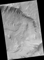
Map Projected Browse Image
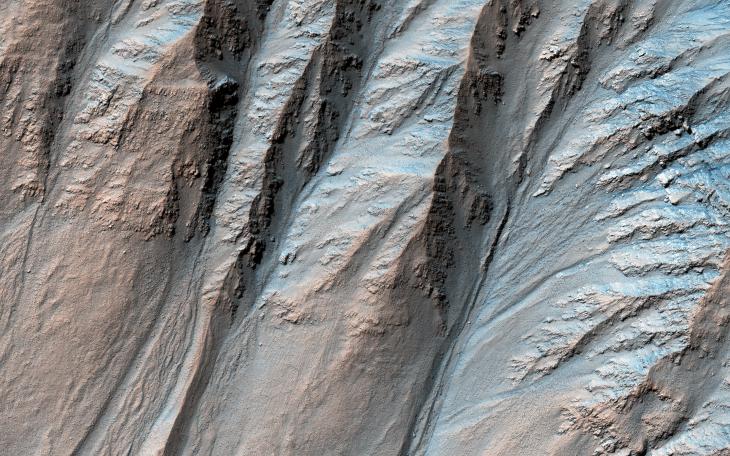
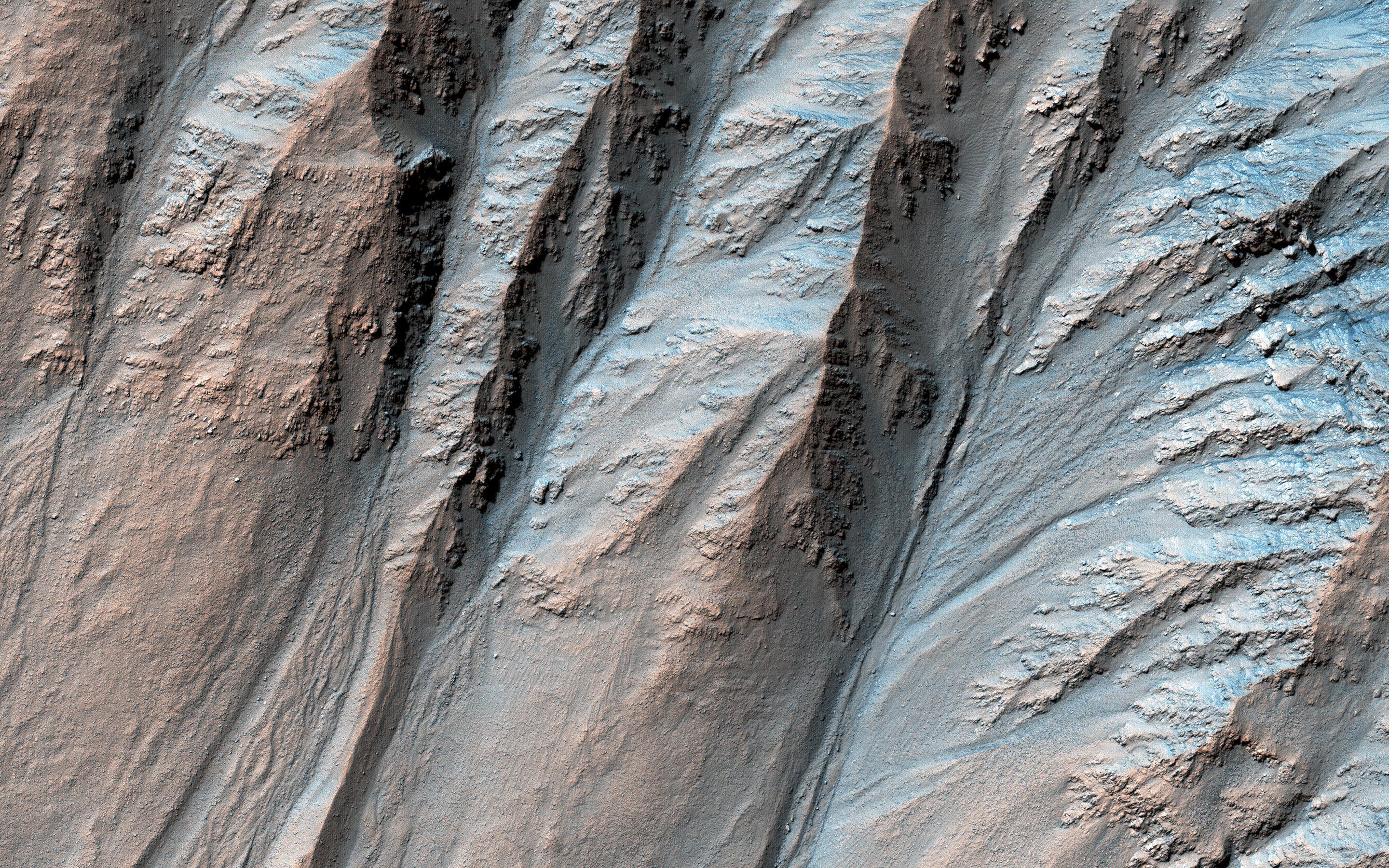
Click on image for larger versionMost gullies in the southern mid-latitudes are on south-facing slopes, which are the coldest and have the most frost in the winter. However, some occur on other slopes.
This image shows large gullies on both the pole- and equator-facing slopes. An important puzzle in Mars science is whether or not all of these gullies form in the same geologic eras and by the same processes.
If you have red/green glasses, be sure to check out the anaglyph of this crater, which shows rugged topography!
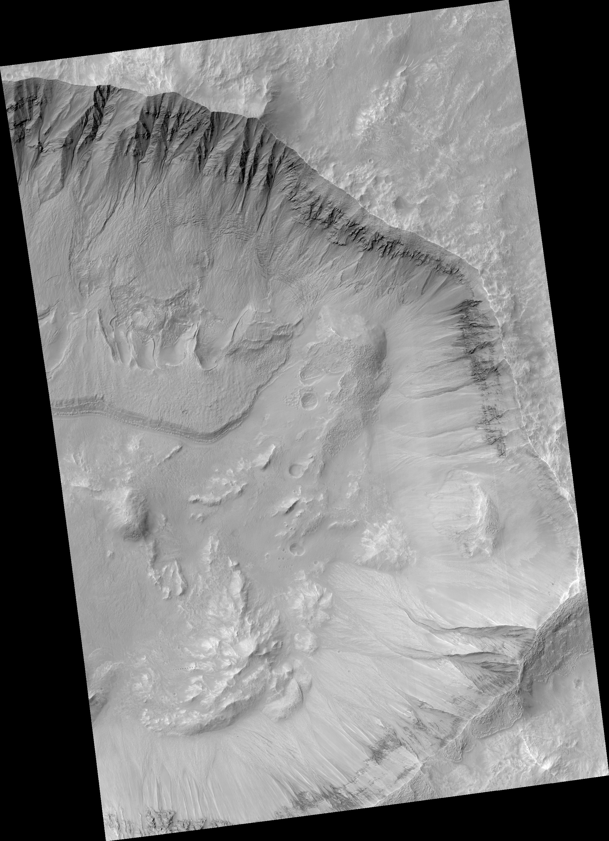
The map is projected here at a scale of 25 centimeters (9.8 inches) per pixel. (The original image scale is 26.7 centimeters [10.5 inches] per pixel [with 1 x 1 binning]; objects on the order of 80 centimeters [31.5 inches] across are resolved.) North is up.
This is a stereo pair with ESP_057700_1415.
The University of Arizona, in Tucson, operates HiRISE, which was built by Ball Aerospace & Technologies Corp., in Boulder, Colorado. NASA's Jet Propulsion Laboratory, a division of Caltech in Pasadena, California, manages the Mars Reconnaissance Orbiter Project for NASA's Science Mission Directorate, Washington.