|
Your search criteria found 19642 images Target is Sun |
| My List |
Addition Date | Target | Mission | Instrument |
Size
|

|
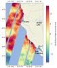
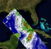
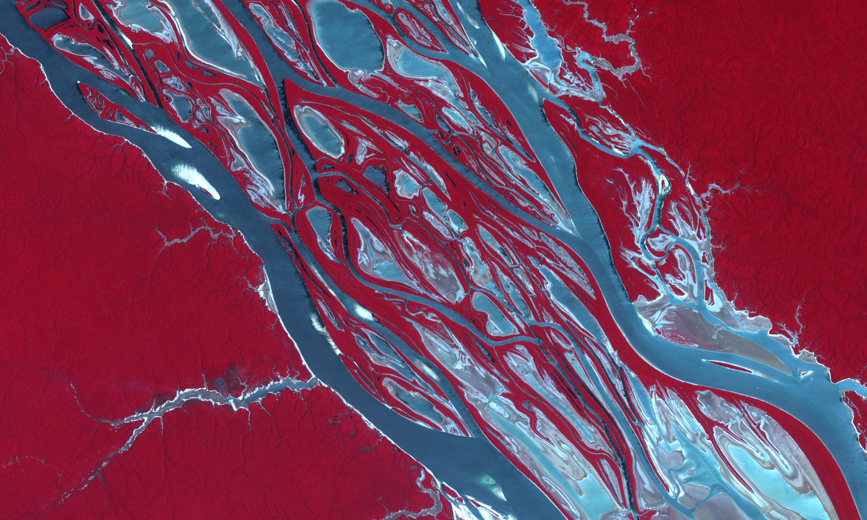
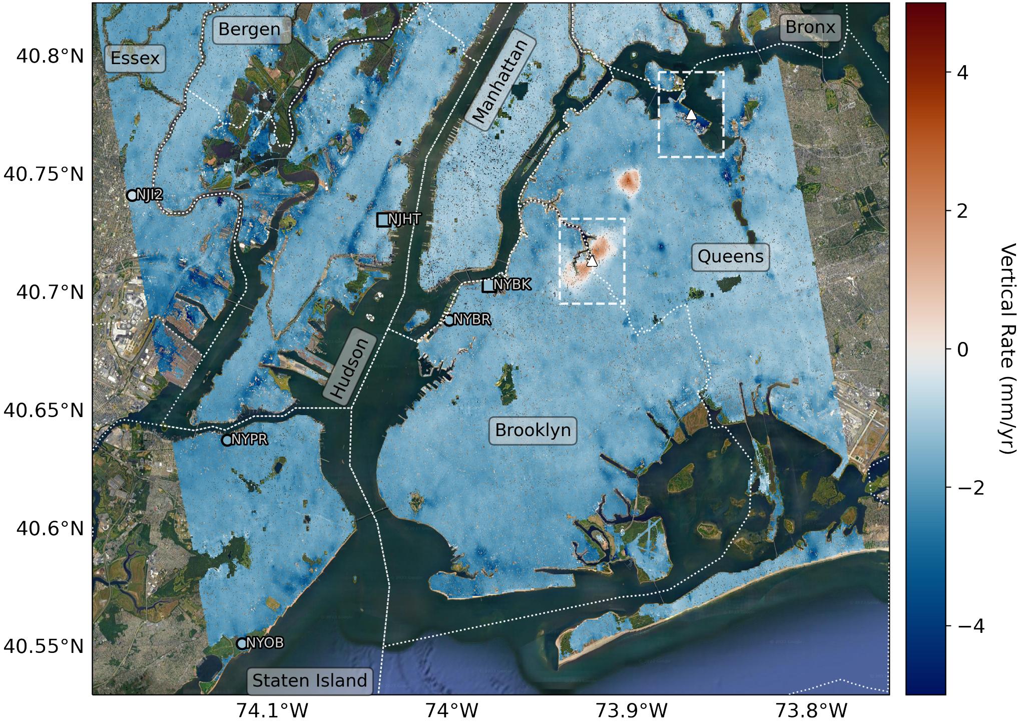
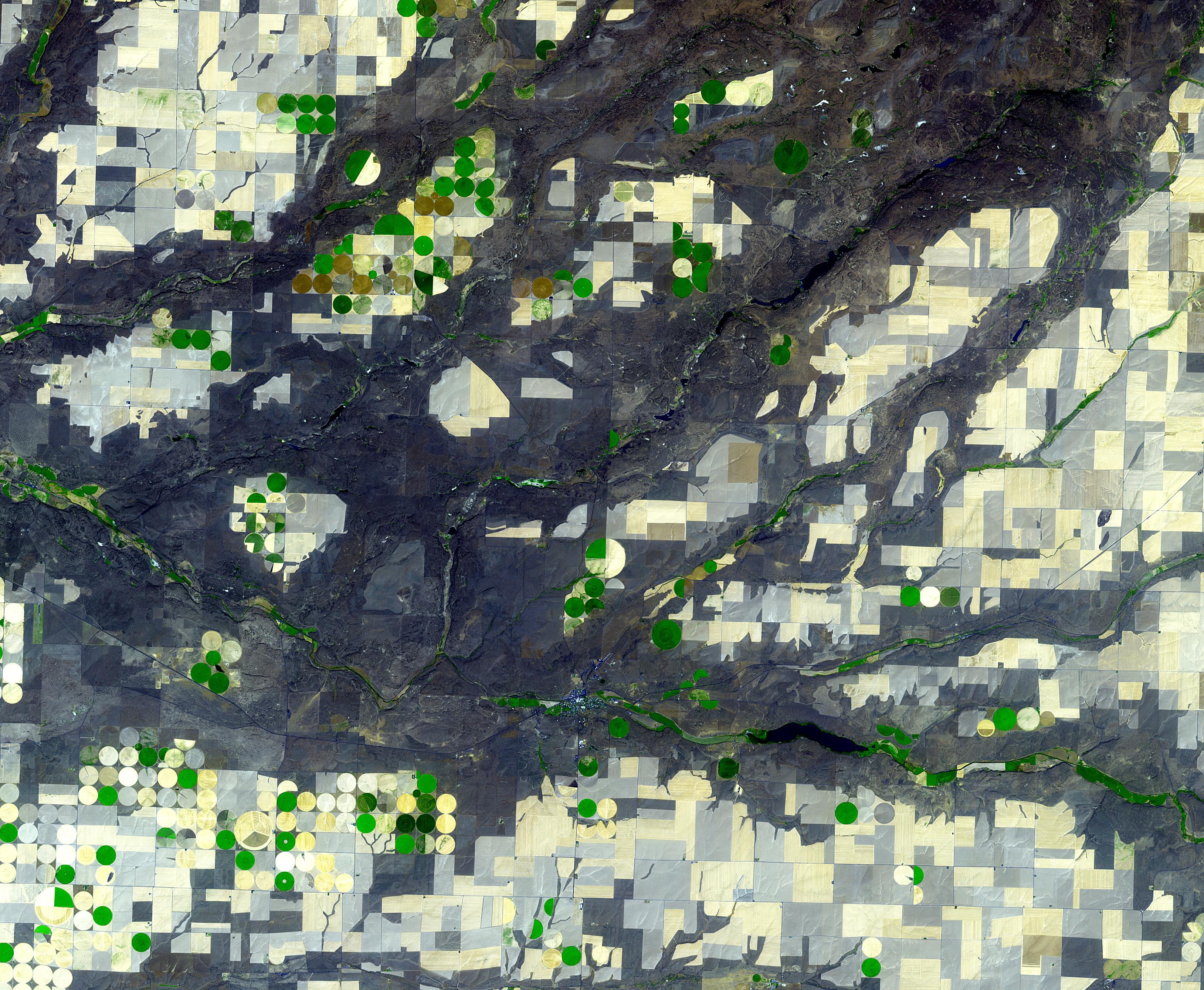
2023-11-17 | Earth |
Earth Surface Mineral Dust Source Investigation (EMIT) |
EMIT |
3499x1700x3 |
|
|||||
|
|
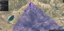
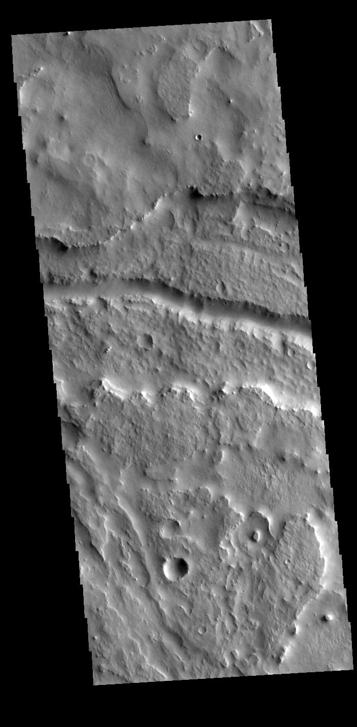
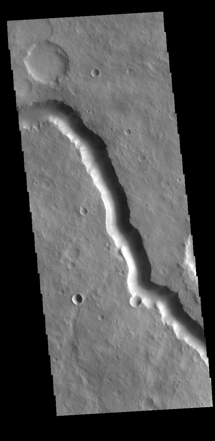
2023-11-17 | Mars |
2001 Mars Odyssey |
THEMIS |
704x1434x1 |
|
|
|||||
|
|
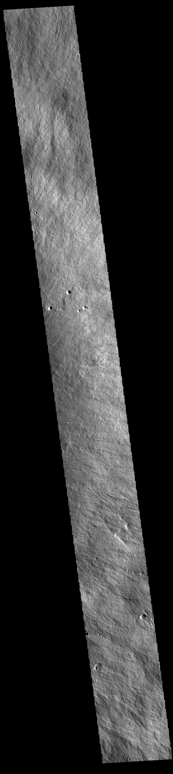
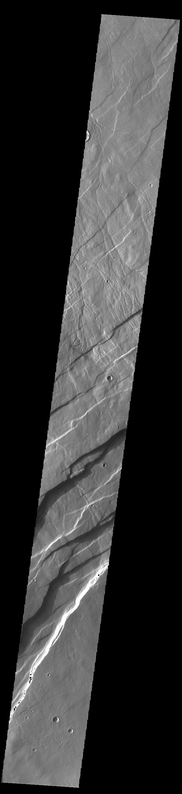
2023-11-16 | Mars |
2001 Mars Odyssey |
THEMIS |
602x2690x1 |
|
|
|||||
|
|
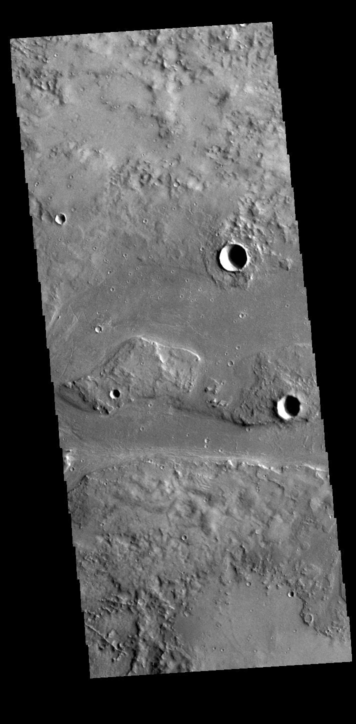
2023-11-15 | Mars |
2001 Mars Odyssey |
THEMIS |
608x2700x1 |
|
|
|||||
|
|
2023-11-14 | Mars |
2001 Mars Odyssey |
THEMIS |
610x2710x1 |
|
|
|||||
|
|
2023-11-13 | Mars |
2001 Mars Odyssey |
THEMIS |
698x1431x1 |
|
|
|||||
|
|
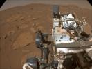
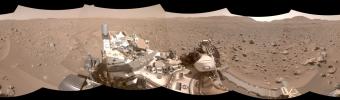
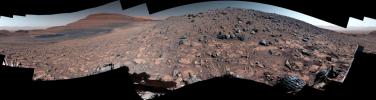
2023-11-10 | Mars |
Mars 2020 Rover |
Navigation Camera (M2020) |
2560x1920x3 |
|
|||||
|
|
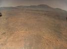
2023-11-10 | Mars |
Mars Helicopter |
4208x3120x3 | |
|
|||||
|
|
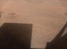
2023-11-10 | Mars |
Mars Helicopter |
4208x3120x3 | |
|
|||||
|
|
2023-11-10 | Mars |
Mars Helicopter |
4208x3120x3 | |
|
|||||
|
|
2023-11-10 | Mars |
2001 Mars Odyssey |
THEMIS |
706x1442x1 |
|
|
|||||
|
|
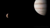
2023-11-09 | Jupiter |
Juno |
JunoCam |
2525x1421x3 |
|
|||||
|
|
2023-11-09 | Jupiter |
Juno |
2496x1696x3 | |
|
|||||
|
|
2023-11-09 | Mars |
2001 Mars Odyssey |
THEMIS |
701x1437x1 |
|
|
|||||
|
|
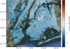
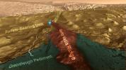
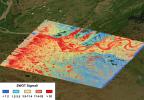
2023-11-08 | Earth |
SWOT |
KaRIn |
1264x1029x3 |
|
|||||
|
|
2023-11-08 | Mars |
2001 Mars Odyssey |
THEMIS |
602x2704x1 |
|
|
|||||
|
|
2023-11-07 | Mars |
2001 Mars Odyssey |
THEMIS |
709x1445x1 |
|
|
|||||
|
|
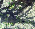
2023-11-06 | Mars |
Mars Science Laboratory (MSL) |
Mastcam |
1583x1482x3 |
|
|||||
|
|
2023-11-06 | Mars |
Mars Science Laboratory (MSL) |
Navcam (MSL) |
7665x2111x1 |
|
|||||
|
|
2023-11-06 | Mars |
Mars Science Laboratory (MSL) |
Mastcam |
1504x1000x3 |
|
|||||
|
|
2023-11-06 | Mars |
2001 Mars Odyssey |
THEMIS |
703x1436x1 |
|
|
|||||
|
|
2023-11-03 | Earth |
Terra |
ASTER |
3000x1800x3 |
|
|||||
|
|
2023-11-03 | Mars |
2001 Mars Odyssey |
THEMIS |
700x1431x1 |
|
|
|||||
|
|
2023-11-02 | Mars |
2001 Mars Odyssey |
THEMIS |
620x2698x1 |
|
|
|||||
|
|
2023-11-01 | Mars |
2001 Mars Odyssey |
THEMIS |
712x1448x1 |
|
|
|||||
|
|
2023-10-31 | Mars |
2001 Mars Odyssey |
THEMIS |
704x1442x1 |
|
|
|||||
|
|
2023-10-30 | Earth |
SWOT |
KaRIn |
1920x1080x3 |

|
|||||
|
|
2023-10-30 | Mars |
2001 Mars Odyssey |
THEMIS |
701x1439x1 |
|
|
|||||
|
|
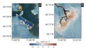
2023-10-27 | Earth |
NISAR |
1800x1275x3 | |
|
|||||
|
|
2023-10-27 | Earth |
NISAR |
973x913x3 | |
|
|||||
|
|
2023-10-27 | Mars |
2001 Mars Odyssey |
THEMIS |
604x2699x1 |
|
|
|||||
|
|
2023-10-26 | Mars | 2852x1169x3 | ||
|
|||||
|
|
2023-10-26 | Mars | 2221x1288x3 | ||
|
|||||
|
|
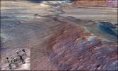
2023-10-26 | Mars |
Mars Reconnaissance Orbiter (MRO) |
HiRISE |
2105x1139x3 |
|
|||||
|
|
2023-10-26 | Mars |
2001 Mars Odyssey |
THEMIS |
704x1439x1 |
|
|
|||||
|
|
2023-10-25 | Jupiter |
Juno |
JunoCam |
1462x2560x3 |

|
|||||
|
|
2023-10-25 | Mars |
2001 Mars Odyssey |
THEMIS |
607x2712x1 |
|
|
|||||
|
|
2023-10-24 | Mars |
2001 Mars Odyssey |
THEMIS |
692x1429x1 |
|
|
|||||
|
|
2023-10-23 | Mars |
2001 Mars Odyssey |
THEMIS |
701x1433x1 |
|
|
|||||
|
|
2023-10-20 | Mars |
2001 Mars Odyssey |
THEMIS |
693x1432x1 |
|
|
|||||
|
|
2023-10-19 | Mars |
2001 Mars Odyssey |
THEMIS |
709x1444x1 |
|
|
|||||
|
|
2023-10-18 | Earth |
Sentinel-6/Jason-CS |
1586x783x3 | |
|
|||||
|
|
2023-10-18 | Earth |
Terra |
ASTER |
1528x1825x3 |
|
|||||
|
|
2023-10-18 | Mars |
2001 Mars Odyssey |
THEMIS |
699x1431x1 |
|
|
|||||
|
|
2023-10-17 | Mars |
2001 Mars Odyssey |
THEMIS |
709x1444x1 |
|
|
|||||
|
|
2023-10-16 | Mars |
2001 Mars Odyssey |
THEMIS |
607x2698x1 |
|
|
|||||
|
|
2023-10-13 | Mars |
2001 Mars Odyssey |
THEMIS |
698x1433x1 |
|
|
|||||
|
|
2023-10-12 | Mars |
2001 Mars Odyssey |
THEMIS |
611x2700x1 |
|
|
|||||
|
|
2023-10-11 | Mars |
2001 Mars Odyssey |
THEMIS |
600x2710x1 |
|
|
|||||
|
|
2023-10-10 | Mars |
2001 Mars Odyssey |
THEMIS |
614x2706x1 |
|
|
|||||
|
|
2023-10-09 | Mars |
2001 Mars Odyssey |
THEMIS |
867x2723x1 |
|
|
|||||
|
|
2023-10-06 | Mars |
2001 Mars Odyssey |
THEMIS |
869x2726x1 |
|
|
|||||
|
|
2023-10-05 | Mars |
2001 Mars Odyssey |
THEMIS |
885x2718x1 |
|
|
|||||
|
|
2023-10-04 | Mars |
2001 Mars Odyssey |
THEMIS |
609x2710x1 |
|
|
|||||
|
|
2023-10-03 | Mars |
2001 Mars Odyssey |
THEMIS |
716x1457x3 |
|
|
|||||
|
|
2023-10-02 | Mars |
2001 Mars Odyssey |
THEMIS |
615x2709x3 |
|
|
|||||
|
|
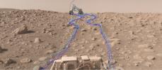
2023-09-29 | Mars |
Mars 2020 Rover |
Navigation Camera (M2020) |
1280x240x1 |
|
|||||
|
|
2023-09-29 | Mars |
2001 Mars Odyssey |
THEMIS |
707x1435x3 |
|
|
|||||
|
|
2023-09-28 | Mars |
2001 Mars Odyssey |
THEMIS |
607x2709x3 |
|
|
|||||
|
|
2023-09-27 | Earth |
InSAR |
1584x934x3 | |
|
|||||
|
|
2023-09-27 | Earth |
InSAR |
2036x1446x3 | |
|
|||||
|
|
2023-09-27 | Mars |
2001 Mars Odyssey |
THEMIS |
706x1437x3 |
|
|
|||||
|
|
2023-09-26 | Mars |
2001 Mars Odyssey |
THEMIS |
613x2703x3 |
|
|
|||||
|
|
2023-09-25 | Mars |
2001 Mars Odyssey |
THEMIS |
701x1437x3 |
|
|
|||||
|
|
2023-09-22 | Mars |
2001 Mars Odyssey |
THEMIS |
704x1439x3 |
|
|
|||||
|
|
2023-09-21 | Mars |
Mars 2020 Rover |
1488x872x3 | |

|
|||||
|
|
2023-09-21 | Mars |
Mars 2020 Rover |
Navigation Camera (M2020) |
8152x2396x3 |
|
|||||
|
|
2023-09-21 | Mars |
Mars 2020 Rover |
Navigation Camera (M2020) |
2513x1095x3 |
|
|||||
|
|
2023-09-21 | Mars |
2001 Mars Odyssey |
THEMIS |
693x1432x3 |
|
|
|||||
|
|
2023-09-20 | Mars |
2001 Mars Odyssey |
THEMIS |
621x2696x3 |
|
|
|||||
|
|
2023-09-19 | Earth |
SWOT |
KaRIn |
1570x1870x3 |
|
|||||
|
|
2023-09-19 | Mars |
2001 Mars Odyssey |
THEMIS |
614x2706x3 |
|
|
|||||
|
|
2023-09-18 | Mars |
Mars Science Laboratory (MSL) |
1280x720x3 | |
|
|||||
|
|
2023-09-18 | Mars |
Mars Science Laboratory (MSL) |
3006x1813x3 | |
|
|||||
|
|
2023-09-18 | Mars |
Mars Science Laboratory (MSL) |
Mastcam |
9000x2394x3 |
|
|||||
|
|
2023-09-18 | Mars |
2001 Mars Odyssey |
THEMIS |
701x1437x3 |
|
|
|||||
|
|
2023-09-15 | Mars |
2001 Mars Odyssey |
THEMIS |
602x2705x3 |
|
|
|||||
|
|
2023-09-14 | Mars |
2001 Mars Odyssey |
THEMIS |
600x2707x3 |
|
|
|||||
|
|
2023-09-13 | Mars |
2001 Mars Odyssey |
THEMIS |
611x2705x3 |
|
|
|||||
|
|
2023-09-12 | Jupiter |
Juno |
JunoCam |
3168x1794x3 |
|
|||||
|
|
2023-09-12 | Mars |
2001 Mars Odyssey |
THEMIS |
613x2701x3 |
|
|
|||||
|
|
2023-09-11 | Earth |
Terra |
ASTER |
3257x2677x3 |
|
|||||
|
|
2023-09-11 | Mars |
2001 Mars Odyssey |
THEMIS |
612x2701x3 |
|
|
|||||
|
|
2023-09-08 | Mars |
2001 Mars Odyssey |
THEMIS |
621x2697x3 |
|
|
|||||
|
|
2023-09-07 | Mars |
2001 Mars Odyssey |
THEMIS |
596x2731x3 |
|
|
|||||
|
|
2023-09-06 | Mars |
Mars 2020 Rover |
SuperCam |
794x530x3 |
|
|||||
|
|
2023-09-06 | Mars |
2001 Mars Odyssey |
THEMIS |
593x2726x3 |
|
|
|||||
|
|
2023-09-05 | Mars |
2001 Mars Odyssey |
THEMIS |
593x2721x3 |
|
|
|||||
|
|
2023-09-04 | Mars |
2001 Mars Odyssey |
THEMIS |
591x2729x3 |
|
|
|||||
|
|
2023-09-01 | Mars |
2001 Mars Odyssey |
THEMIS |
593x2723x3 |
|
|
|||||
|
|
2023-08-31 | Mars |
Mars 2020 Rover |
Mastcam-Z |
9000x819x3 |

|
|||||
|
|
2023-08-31 | Mars |
2001 Mars Odyssey |
THEMIS |
590x2730x3 |
|
|
|||||
|
|
2023-08-30 | Earth |
Surface Water and Ocean Topography (SWOT) |
KaRIn |
2794x1934x3 |
|
|||||
|
|
2023-08-30 | Mars |
2001 Mars Odyssey |
THEMIS |
594x2723x3 |
|
|
|||||
|
|
2023-08-29 | Earth |
COWVR |
COWVR TEMPEST |
1606x1527x3 |

|
|||||
|
|
2023-08-29 | Earth |
COWVR |
COWVR TEMPEST |
1576x1527x3 |
|
|||||
|
|
2023-08-29 | Mars |
2001 Mars Odyssey |
THEMIS |
593x2723x3 |
|
|
|||||
|
|
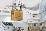
2023-08-28 | Asteroid |
Psyche |
14456x9637x3 | |

|
|||||
|
|
2023-08-28 | Asteroid |
Psyche |
5504x8256x3 | |
|
|||||
|
|
2023-08-28 | Asteroid |
Psyche |
2365x1327x3 | |

|
|||||

|
 |
 |
 |
|
|
|
|
|
|
|

|
| 1-100 | 101-200 | 201-300 | 301-400 | 401-500 | 501-600 | 601-700 | 701-800 | 801-900 | 901-1000 |
| Currently displaying images: 101 - 200 of 19642 |