My
List |
Addition Date
|
Target
|
Mission
|
Instrument
|
Size
|

|
2025-01-30 |
Earth
|
Terra
|
ASTER
|
1922x2378x3 |

|
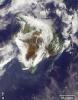
-
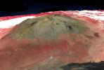
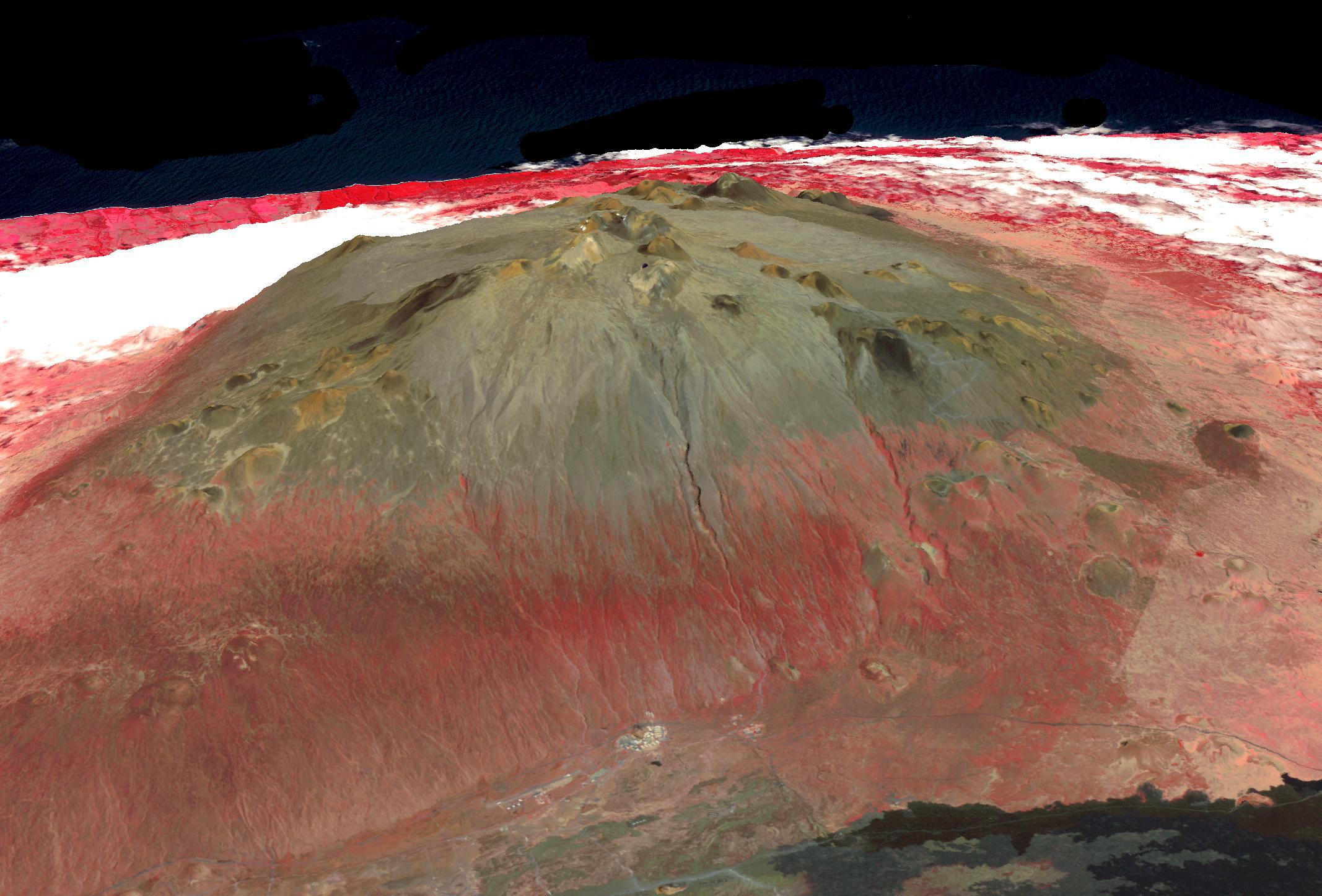
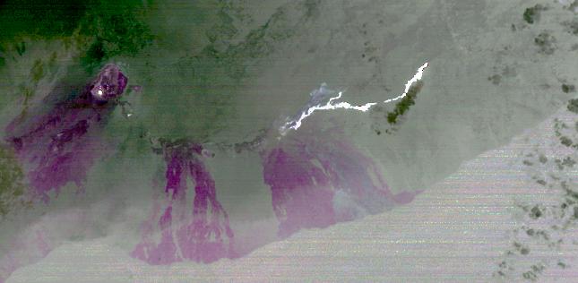
PIA26504:
-
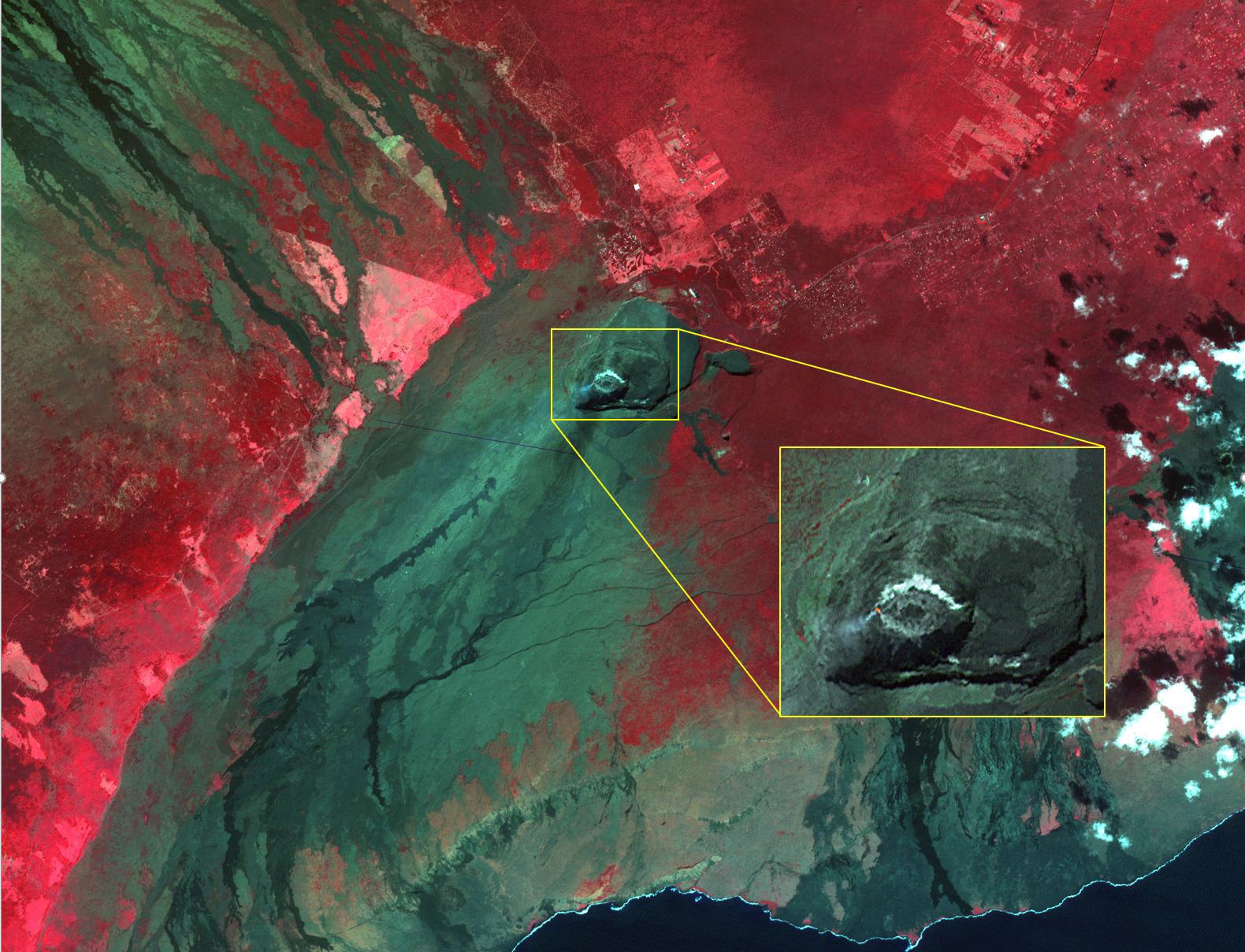
Halemaumau, Kilauea Hawaii
Full Resolution:
TIFF
(12.55 MB)
JPEG
(395.5 kB)
|
|
|
2021-01-04 |
Earth
|
Terra
|
ASTER
|
1580x1209x3 |

|
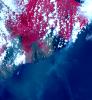
-
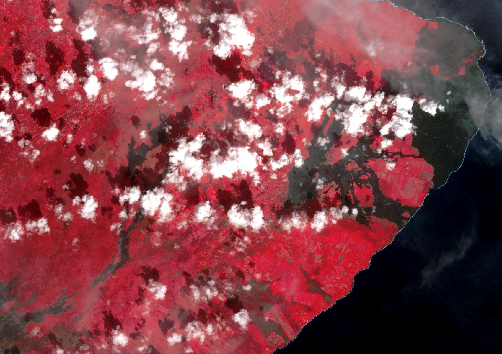
PIA24284:
-
Kilauea Volcano, Hawaii
Full Resolution:
TIFF
(5.733 MB)
JPEG
(298.6 kB)
|
|
|
2019-08-07 |
Earth
|
Terra
|
ASTER
|
2134x1447x3 |
|
-
PIA23339:
-
Mauna Kea volcano, Hawaii
Full Resolution:
TIFF
(8.003 MB)
JPEG
(372.9 kB)
|
|
|
2018-12-13 |
Earth
|
Terra
|
ASTER
|
1700x1200x3 |
|
-
PIA22899:
-
2018 Kilauea East Rift Zone Eruption
Full Resolution:
TIFF
(6.123 MB)
JPEG
(272.4 kB)
|
|
|
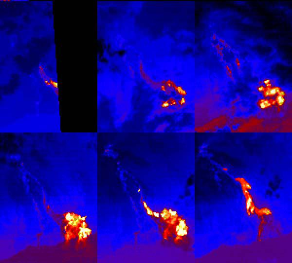
2018-07-28 |
Earth
|
Terra
|
ASTER
|
1280x720x3 |
|
-
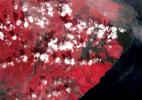
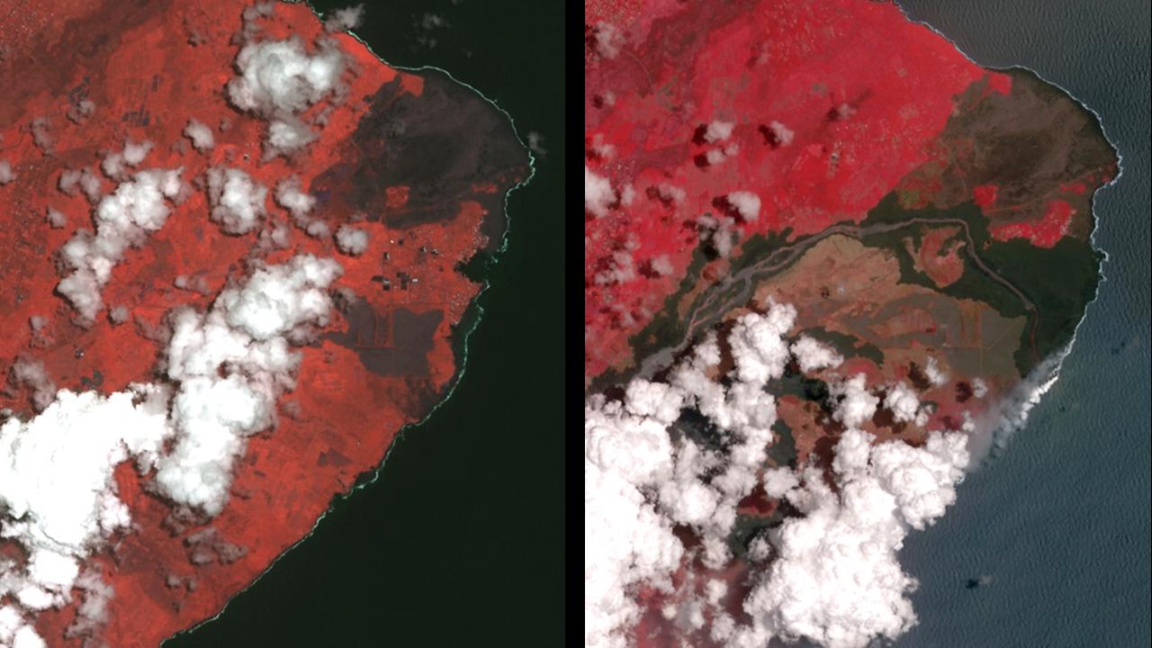
PIA22593:
-
Dramatic Changes from Kilauea Leilani Estates Lava Flows Seen by NASA Spacecraft
Full Resolution:
TIFF
(2.739 MB)
JPEG
(114.3 kB)
|
|
|
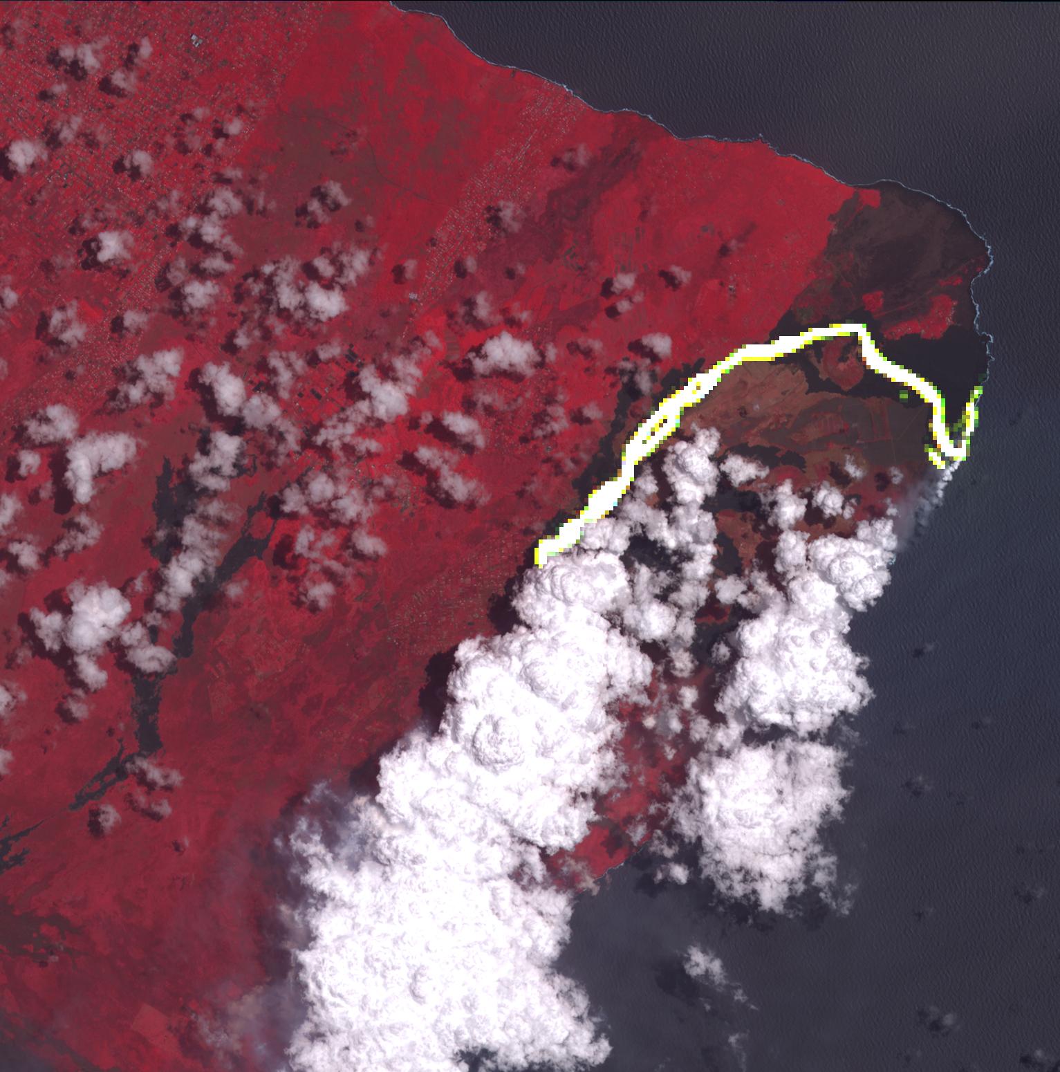
2018-07-26 |
Earth
|
Terra
|
ASTER
|
1238x1022x3 |

|
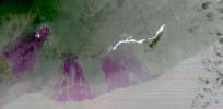
-
PIA22489:
-
Satellite Imagery Shows Hawaii Volcano Lava Flow
Full Resolution:
TIFF
(3.646 MB)
JPEG
(132 kB)
|
|
|
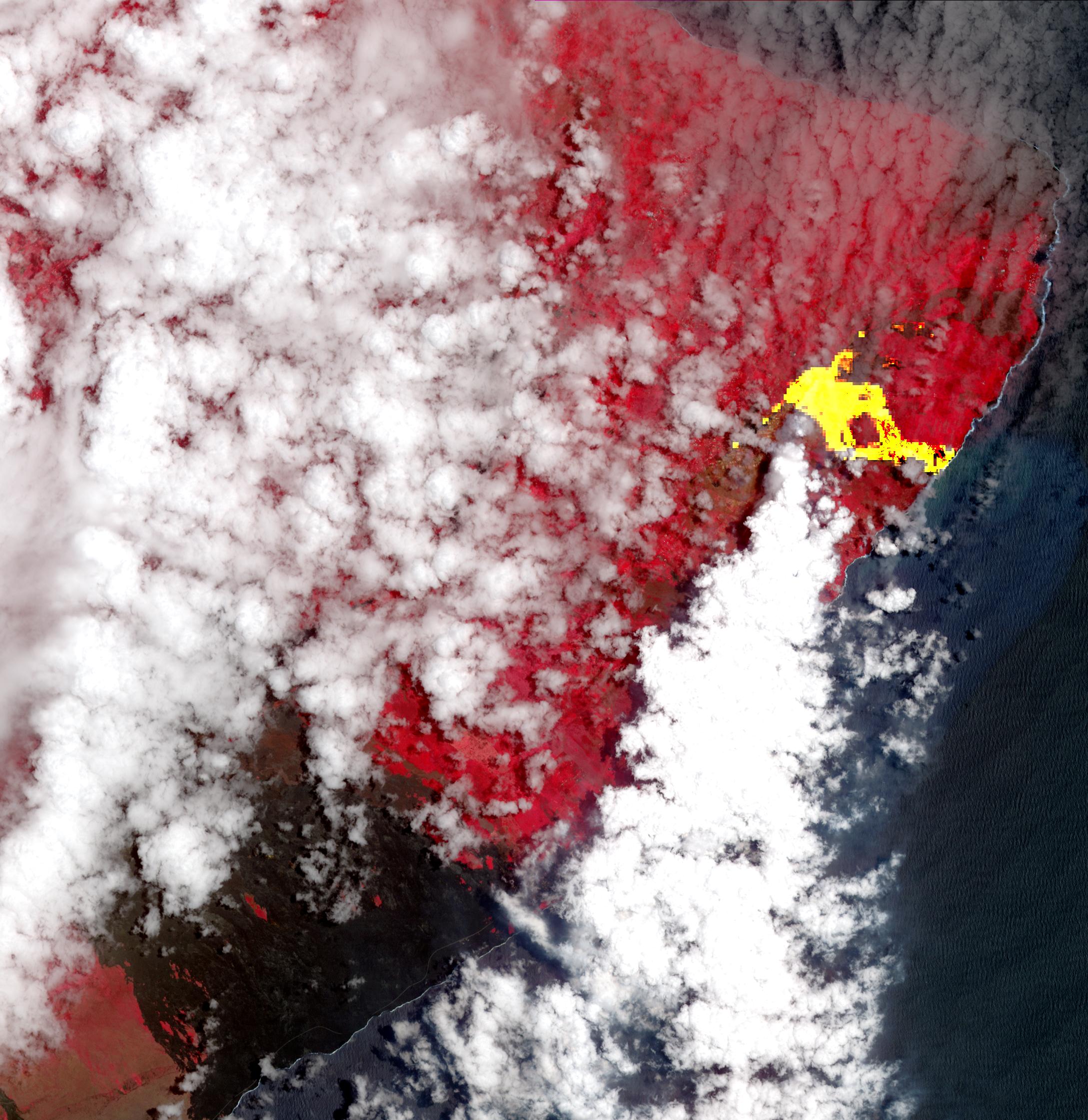
2018-06-28 |
Earth
|
Terra
|
ASTER
|
1533x1550x3 |
|
-
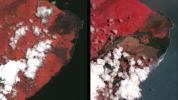
PIA22553:
-
Hawaii's Continuing Kilauea Eruption Seen in NASA Spacecraft Image
Full Resolution:
TIFF
(6.248 MB)
JPEG
(265.8 kB)
|
|
|
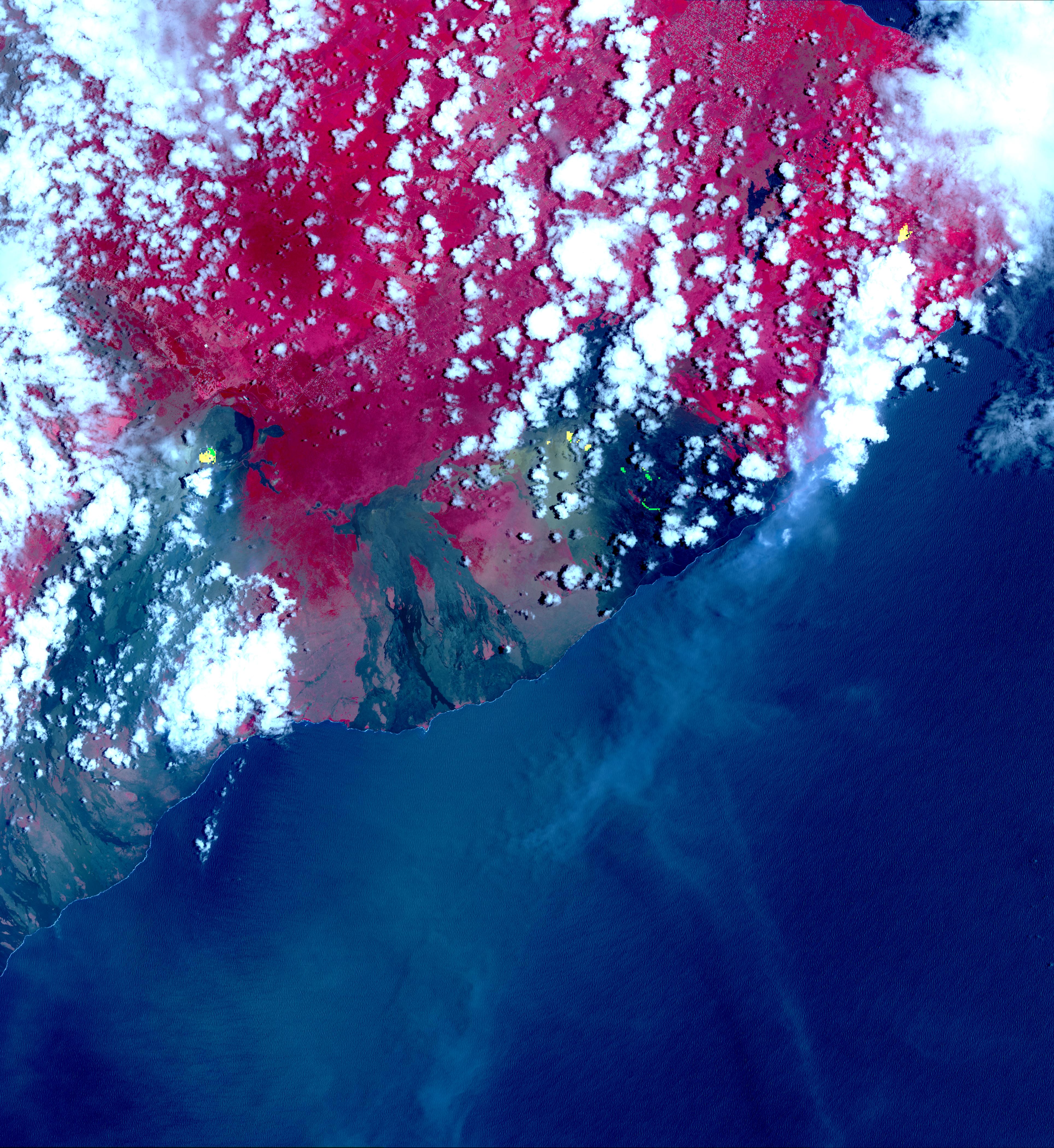
2018-05-24 |
Earth
|
Terra
|
ASTER
|
2177x2242x3 |

|
-
PIA22459:
-
New Image of Kilauea's Lava Flows taken by NASA Spacecraft
Full Resolution:
TIFF
(12.5 MB)
JPEG
(608.7 kB)
|
|
|
2018-05-09 |
Earth
|
Terra
|
MISR
|
794x1019x3 |
|
-
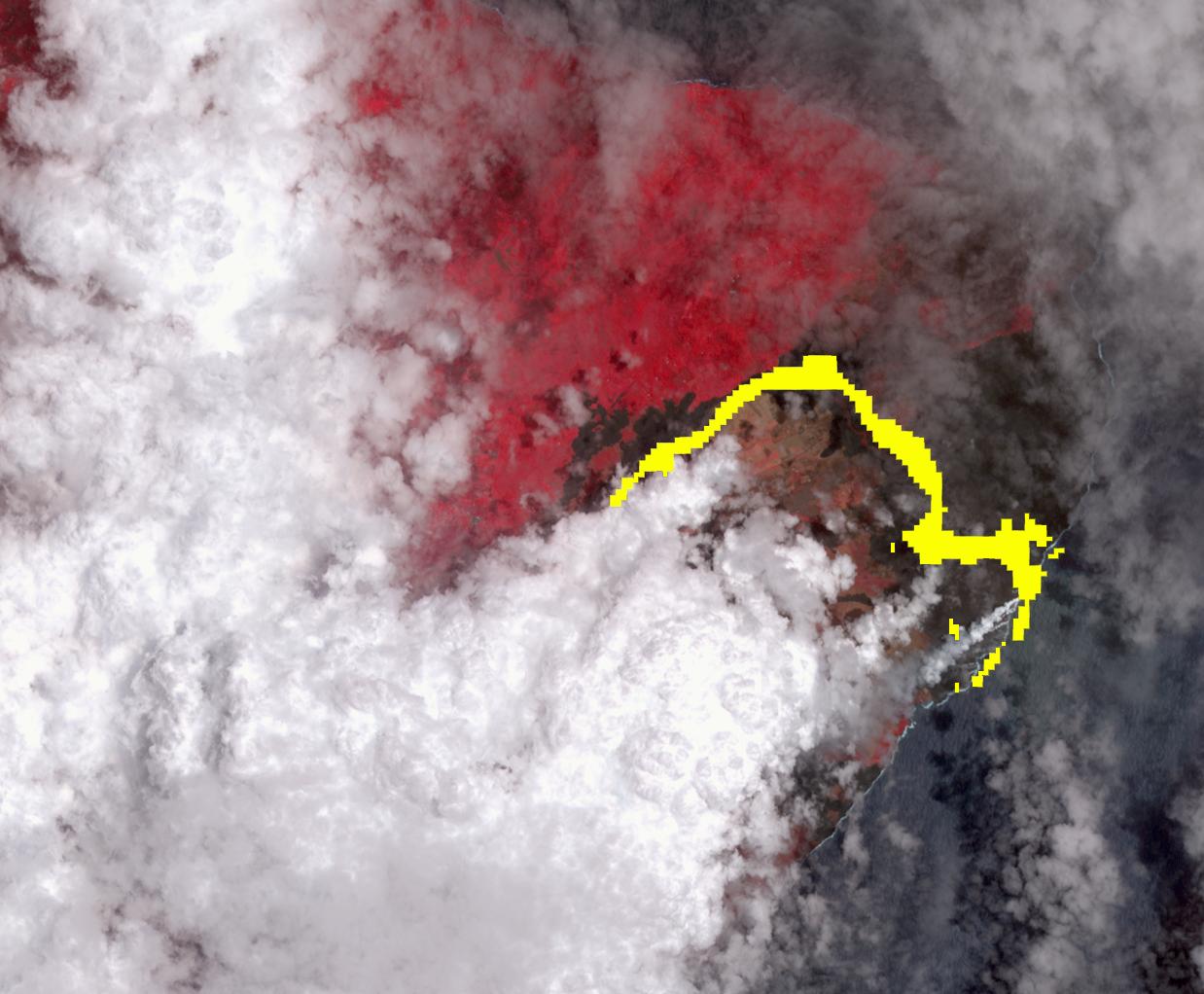
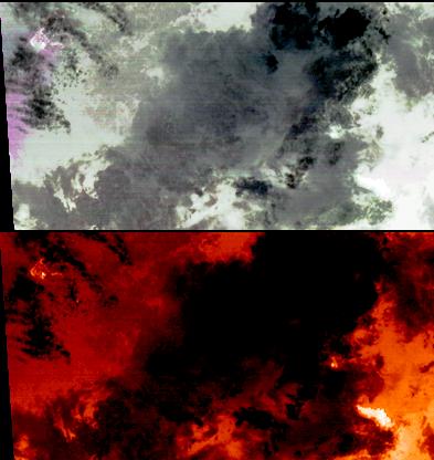
PIA22451:
-
Ash from Kilauea Eruption Viewed by NASA's MISR
Full Resolution:
TIFF
(2.428 MB)
JPEG
(142.6 kB)
|
|
|
2018-05-07 |
Earth
|
Terra
|
ASTER
|
3856x4200x3 |
|
-
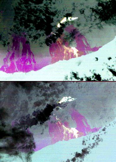
PIA22450:
-
Satellite View of Kilauea Eruption
Full Resolution:
TIFF
(36.72 MB)
JPEG
(2.512 MB)
|
|
|
2014-09-24 |
Earth
|
Terra
|
ASTER
|
645x316x3 |
|
-
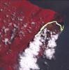
PIA18812:
-
Progress of Hawaii Lava Flow Tracked by NASA Spacecraft
Full Resolution:
TIFF
(611.9 kB)
JPEG
(27.32 kB)
|
|
|
2011-10-17 |
Earth
|
Terra
|
ASTER
|
1280x720x3 |
|
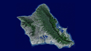
-
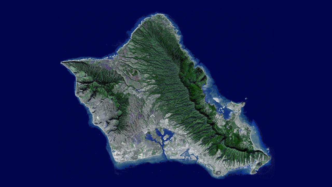
PIA14898:
-
NASA Flyover of Oahu, Hawaii

Full Resolution:
TIFF
(2.768 MB)
JPEG
(93.48 kB)
|
|
|
2008-04-04 |
Earth
|
Terra
|
ASTER
|
393x416x3 |

|
-
PIA10365:
-
Hawaii's Kilauea Volcano Belches a Toxic Brew
Full Resolution:
TIFF
(491.3 kB)
JPEG
(27.74 kB)
|
|
|
2007-08-31 |
Earth
|
Terra
|
ASTER
|
369x518x3 |

|
-
PIA09968:
-
Lava Flow at Kilauea, Hawaii
Full Resolution:
TIFF
(574.3 kB)
JPEG
(37.96 kB)
|
|
|
2001-10-22 |
Earth
|
Terra
|
ASTER
|
600x540x3 |

|
-
PIA11093:
-
Hawaii Lava Flows
Full Resolution:
TIFF
(973.3 kB)
JPEG
(26.82 kB)
|
|
|
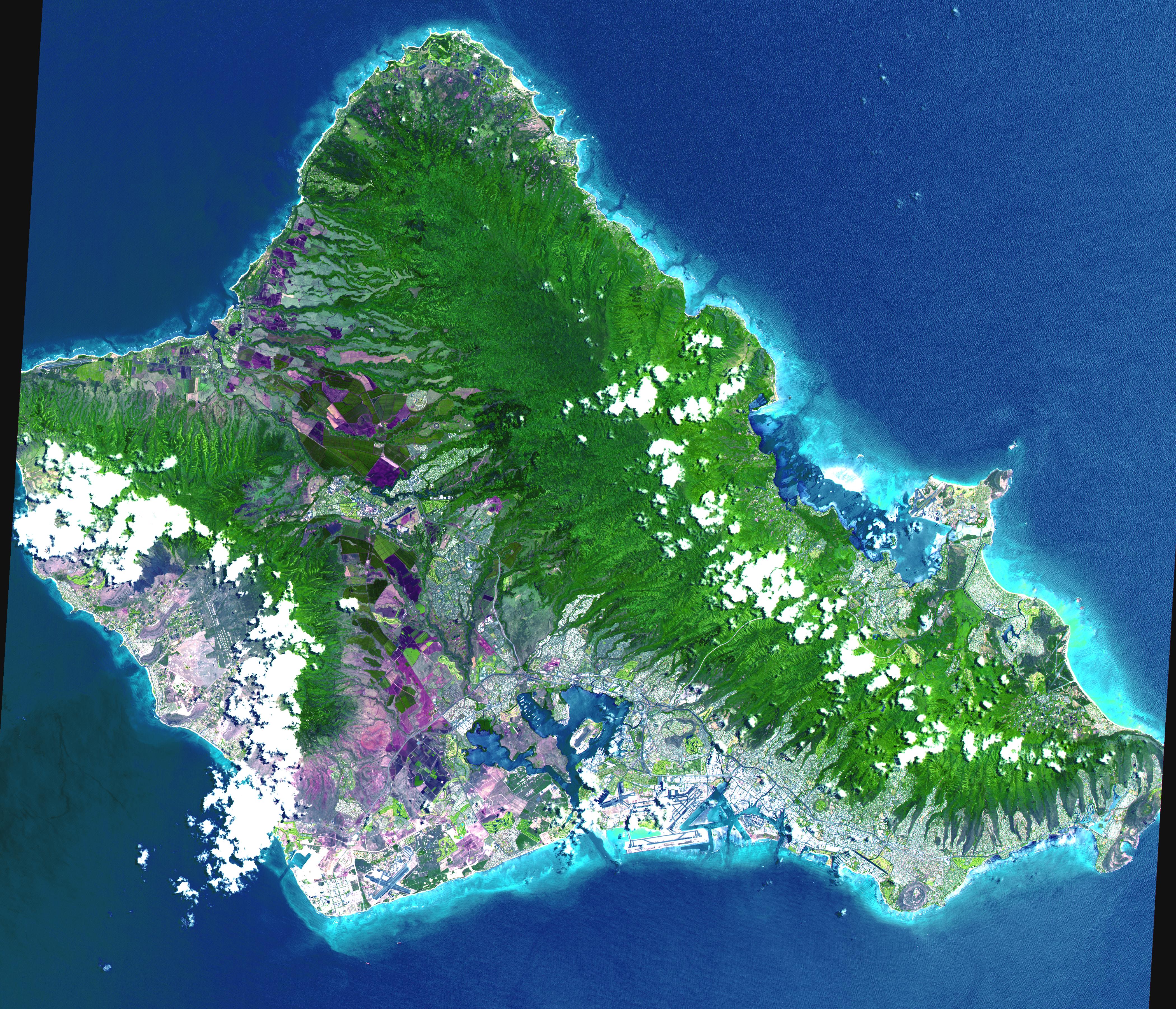
2001-07-21 |
Earth
|
Terra
|
ASTER
|
4200x3600x3 |
|
-
PIA02672:
-
Oahu, Hawaii
Full Resolution:
TIFF
(44.7 MB)
JPEG
(3.314 MB)
|
|
|
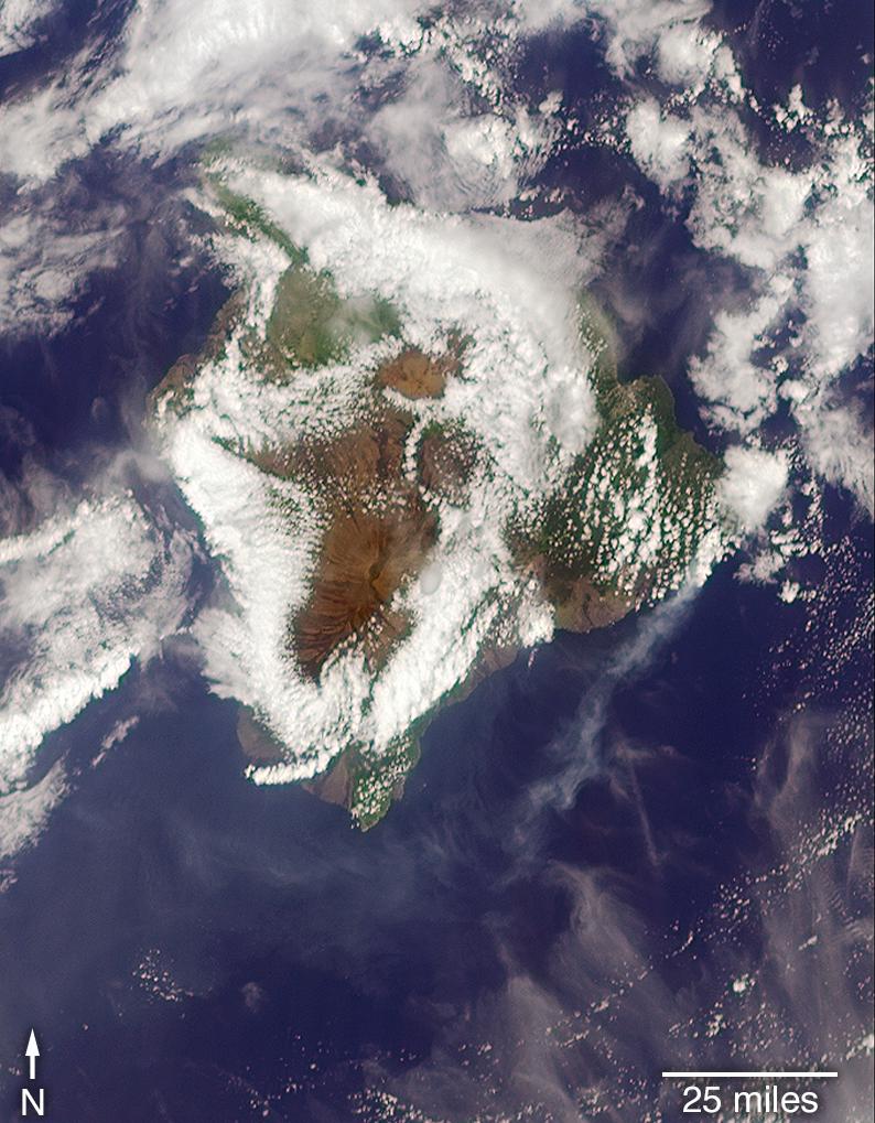
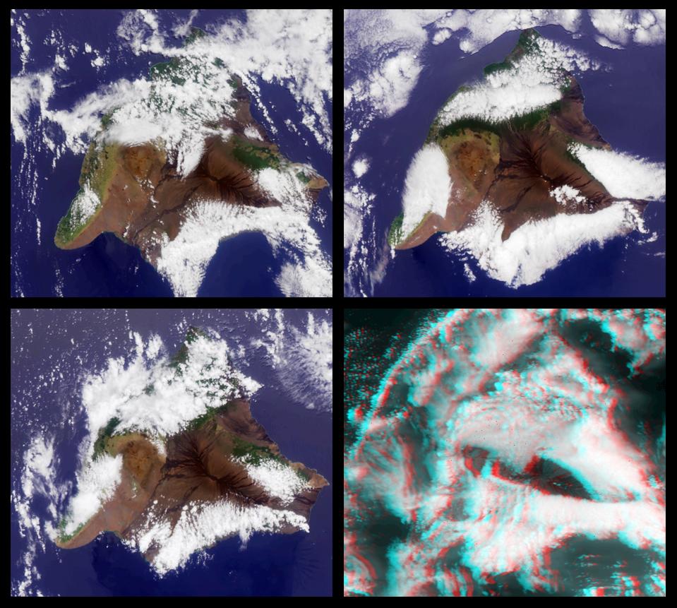
2000-08-02 |
Earth
|
Terra
|
MISR
|
959x861x3 |
|
-
PIA02616:
-
MISR Views the Big Island of Hawaii
Full Resolution:
TIFF
(2.201 MB)
JPEG
(145.4 kB)
|
|
|
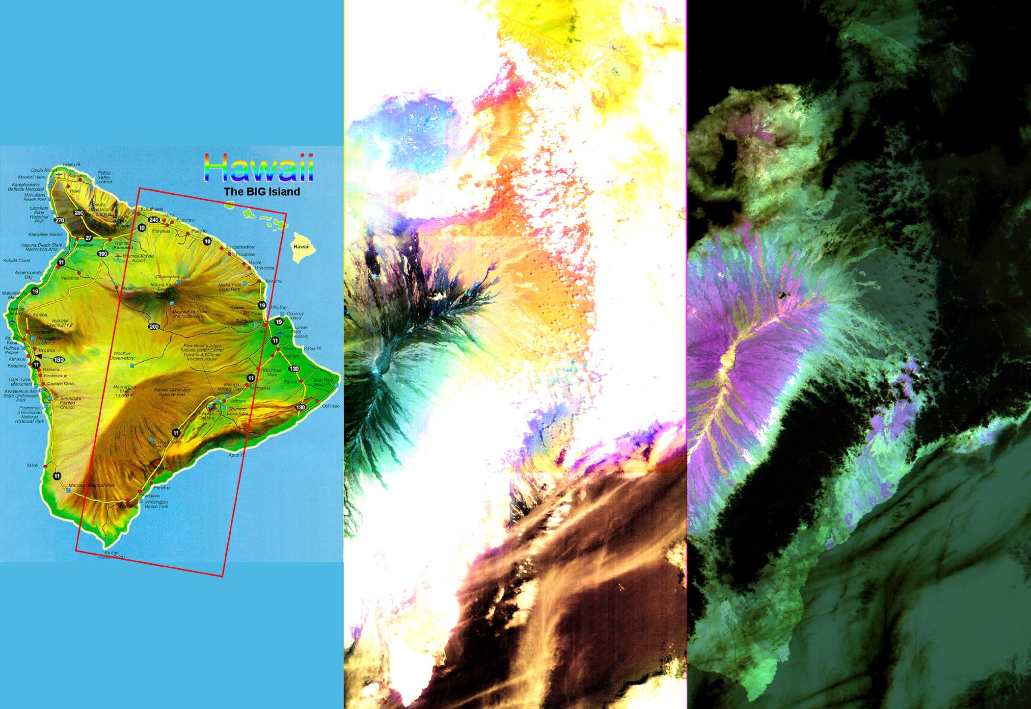
2000-04-26 |
Earth
|
Terra
|
ASTER
|
2100x1445x3 |
|
-
PIA02604:
-
ASTER Images the Island of Hawaii
Full Resolution:
TIFF
(7.393 MB)
JPEG
(430.3 kB)
|
 Planetary Data System


