|
Your search criteria found 2593 images Target is Earth (and available satellites) |
| My List |
Addition Date | Target | Mission |
Instrument
|
Size |

|
2022-08-04 | Earth |
ECOSTRESS |
3507x2480x3 | |
|
|||||
|
|
2022-08-04 | Earth |
ECOSTRESS |
3507x2480x3 | |
|
|||||
|
|
2022-08-04 | Earth |
ECOSTRESS |
3507x2480x3 | |
|
|||||
|
|
2022-08-04 | Earth |
ECOSTRESS |
3507x2480x3 | |
|
|||||
|
|
2022-08-04 | Earth |
ECOSTRESS |
3507x2480x3 | |
|
|||||
|
|
2022-08-04 | Earth |
ECOSTRESS |
3507x2480x3 | |

|
|||||
|
|
2022-08-04 | Earth |
ECOSTRESS |
3507x2480x3 | |
|
|||||
|
|
2022-08-04 | Earth |
ECOSTRESS |
3507x2480x3 | |
|
|||||
|
|
2022-08-10 | Earth | 4456x5324x3 | ||
|
|||||
|
|
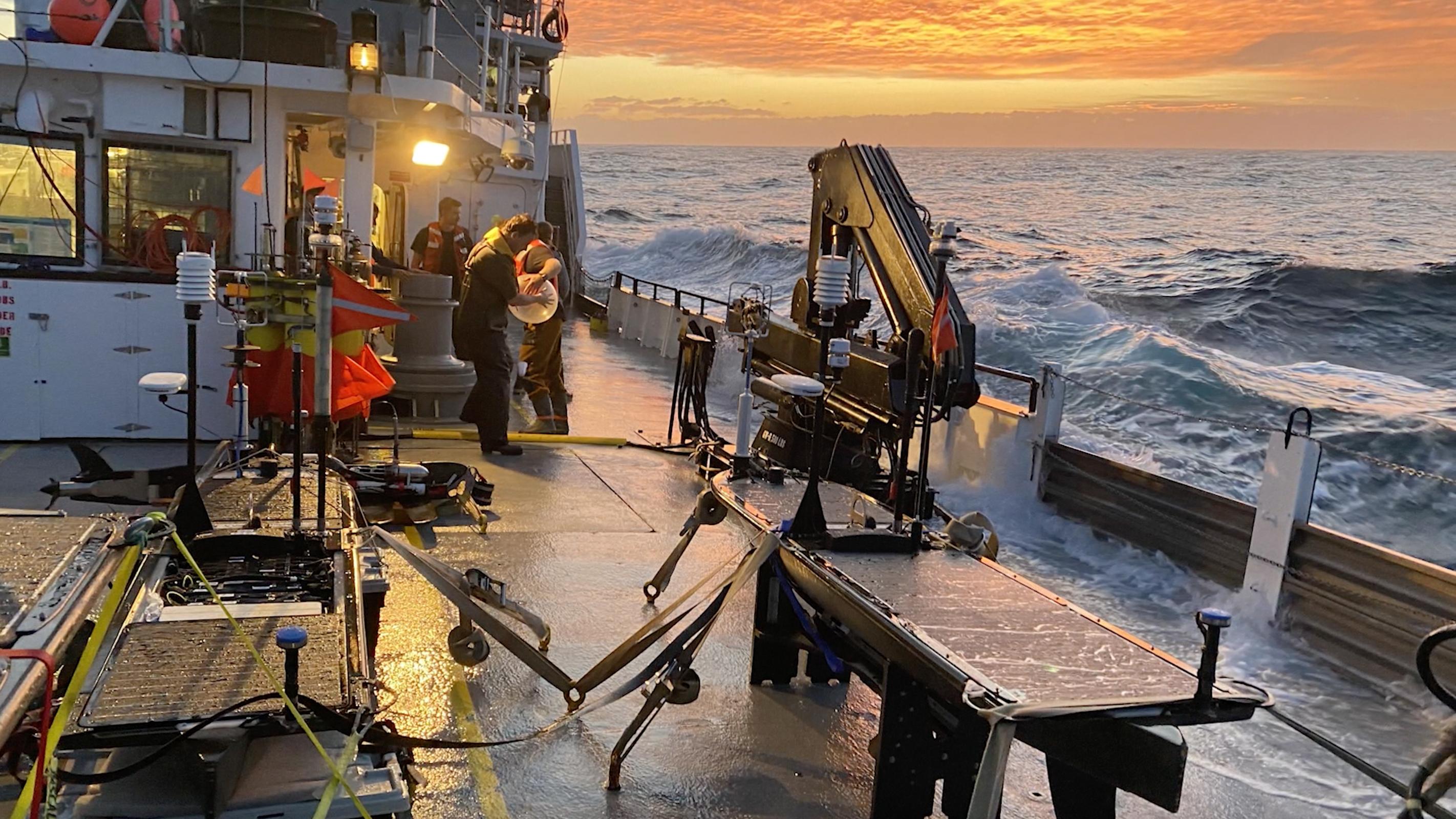
2022-10-11 | Earth |
S-MODE |
2844x1599x3 | |

|
|||||
|
|
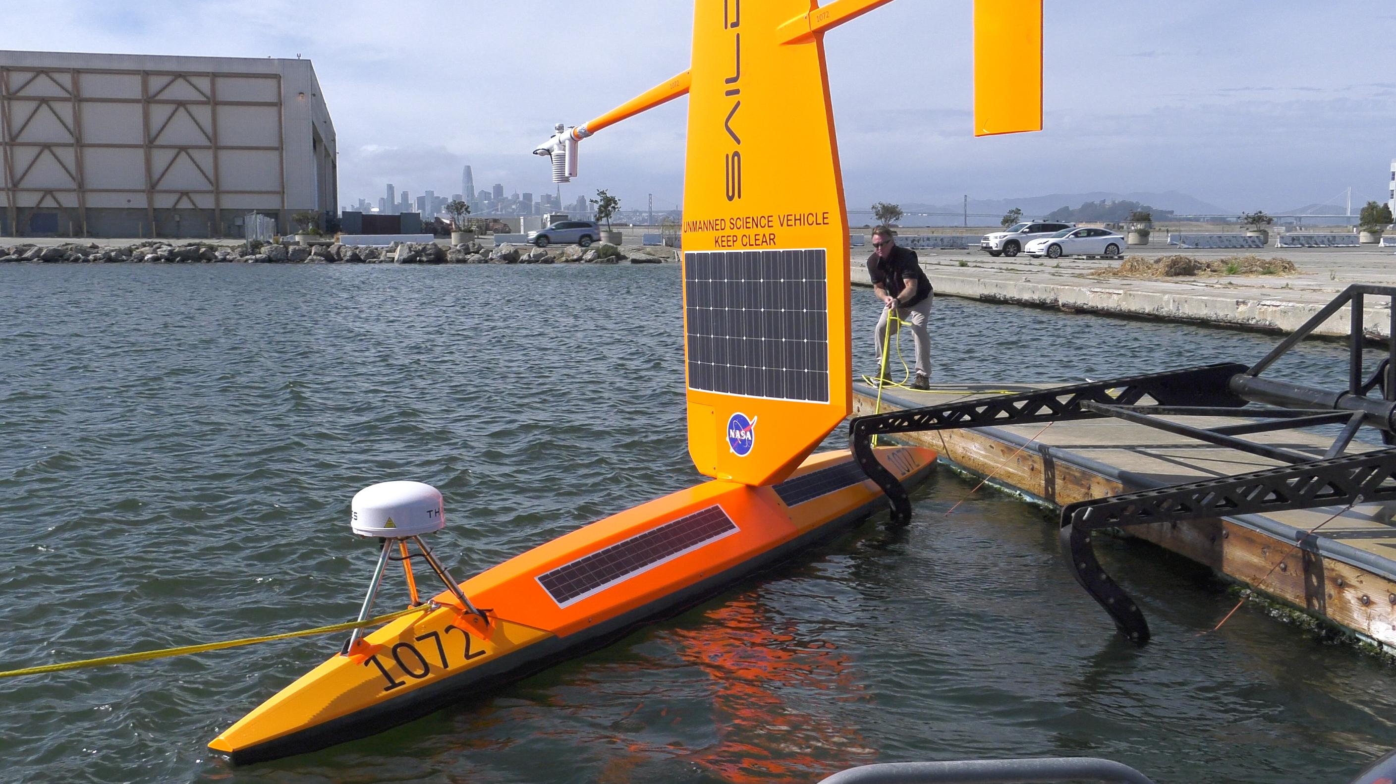
2022-10-11 | Earth |
S-MODE |
2817x1582x3 | |
|
|||||
|
|
2022-10-11 | Earth |
S-MODE |
4032x3024x3 | |
|
|||||
|
|
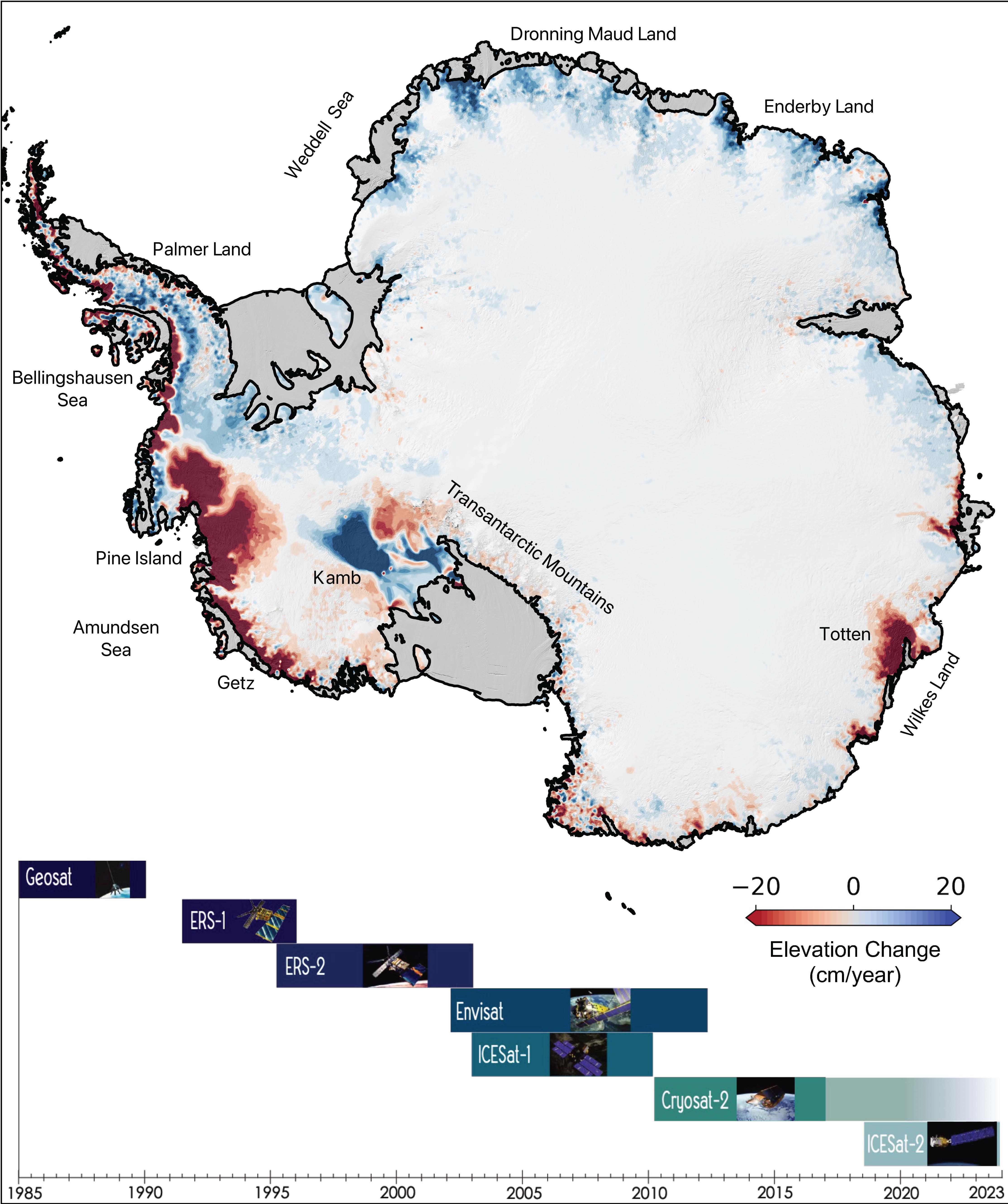
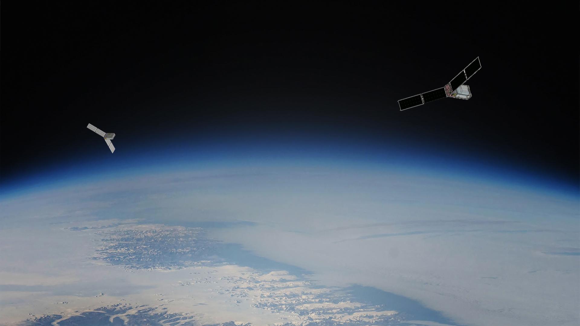
2022-11-14 | Earth |
Surface Water and Ocean Topography (SWOT) |
1920x1080x3 | |
|
|||||
|
|
2022-12-12 | Moon |
Lunar Flashlight |
2947x1661x3 | |

|
|||||
|
|
2022-12-23 | Moon |
Lunar Flashlight |
4096x1773x3 | |
|
|||||
|
|
2023-01-12 | Moon |
Lunar Flashlight |
2012x1134x3 | |
|
|||||
|
|
2023-03-17 | Earth | 3300x2550x3 | ||
|
|||||
|
|
2023-03-24 | Earth | 1440x1570x3 | ||
|
|||||
|
|
2023-05-12 | Earth |
Sentinel-6/Jason-CS |
875x415x3 | |
|
|||||
|
|
2023-05-15 | Earth | 1440x700x3 | ||
|
|||||
|
|
2023-05-15 | Earth | 1440x700x3 | ||

|
|||||
|
|
2023-06-22 | Earth |
Terra |
2741x2514x3 | |
|
|||||
|
|
2023-06-27 | Earth |
Surface Water and Ocean Topography (SWOT) |
1125x1122x3 | |
|
|||||
|
|
2023-08-14 | Earth |
Polar Radiant Energy in the Far-InfraRed Experiment (PREFIRE) |
1920x1080x3 | |
|
|||||
|
|
2023-10-18 | Earth |
Sentinel-6/Jason-CS |
1586x783x3 | |
|
|||||
|
|
2023-10-27 | Earth |
NISAR |
973x913x3 | |
|
|||||
|
|
2023-10-27 | Earth |
NISAR |
1800x1275x3 | |
|
|||||
|
|
2024-01-17 | Earth |
Landsat |
1440x960x3 | |
|
|||||
|
|
2024-01-17 | Earth |
Landsat |
1440x1100x3 | |
|
|||||
|
|
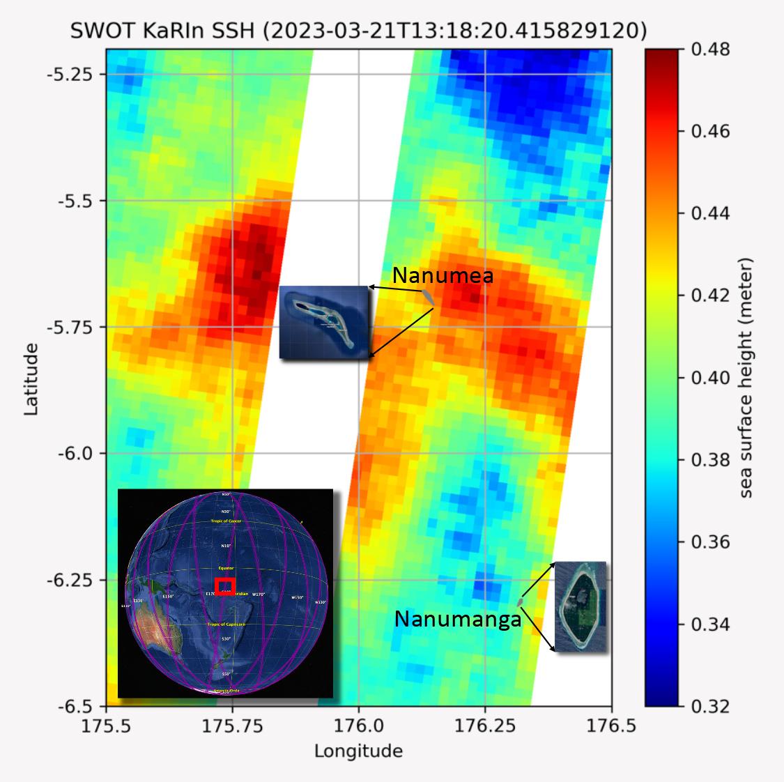
2024-03-21 | Earth |
TOPEX/Poseidon Sentinel-6 Michael Freilich |
3300x2550x3 | |
|
|||||
|
|
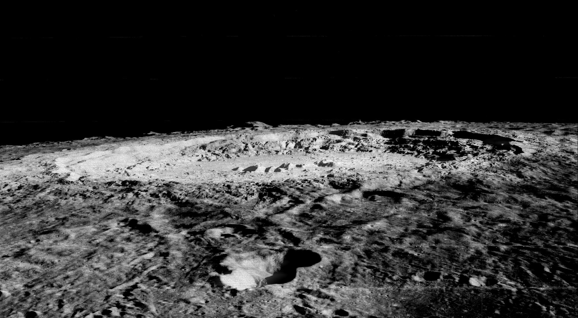
1998-06-03 | Moon |
Lunar Orbiter |
610 Millimeter Lunar Orbiter Camera |
2000x1100x1 |
|
|||||
|
|
2010-04-21 | Earth |
Earth Observing-1 (EO-1) |
Advanced Land Imager (ALI) |
1248x1110x3 |

|
|||||
|
|
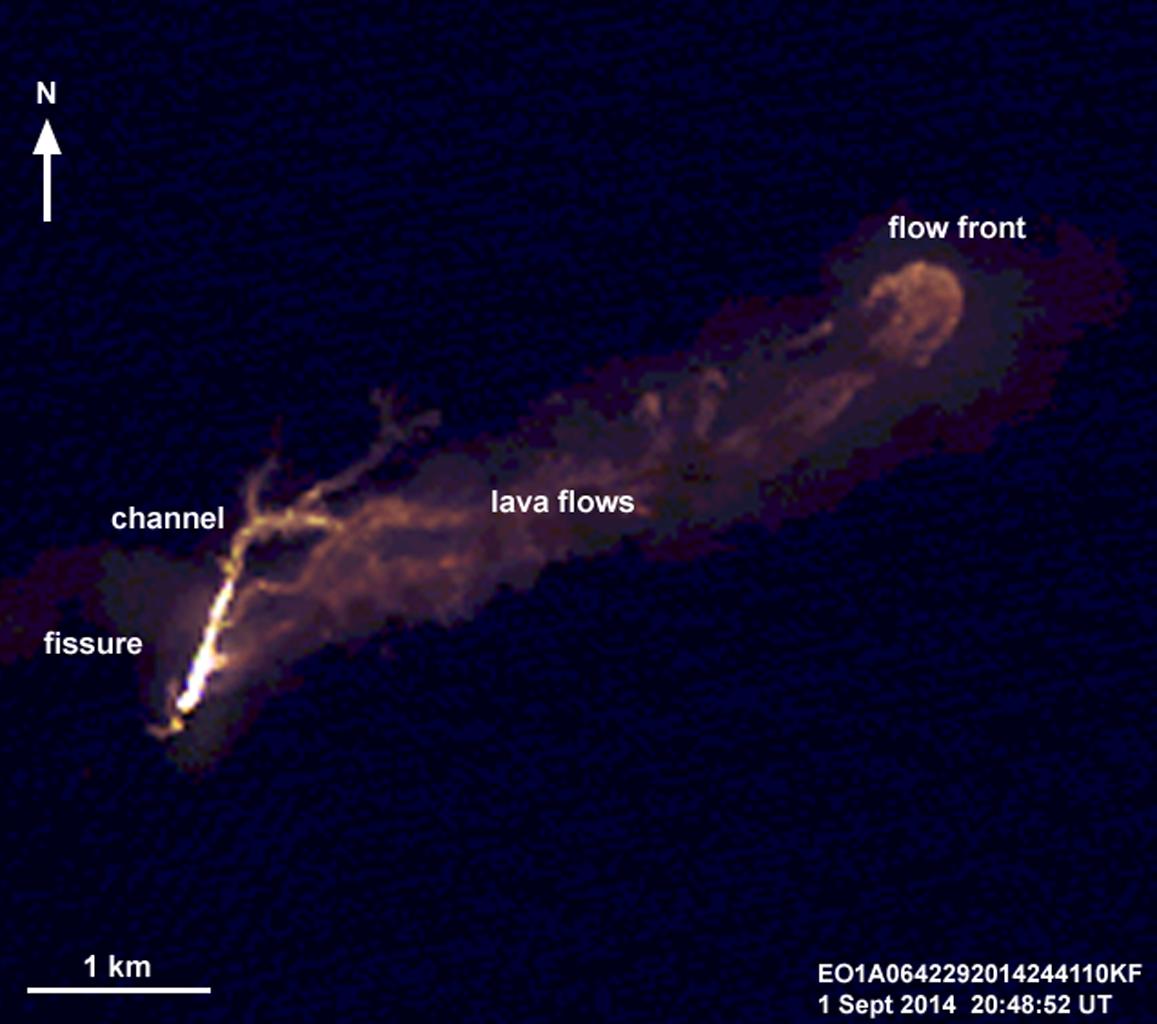
2014-09-03 | Earth |
Earth Observing-1 (EO-1) |
Advanced Land Imager (ALI) |
1157x1024x3 |
|
|||||
|
|
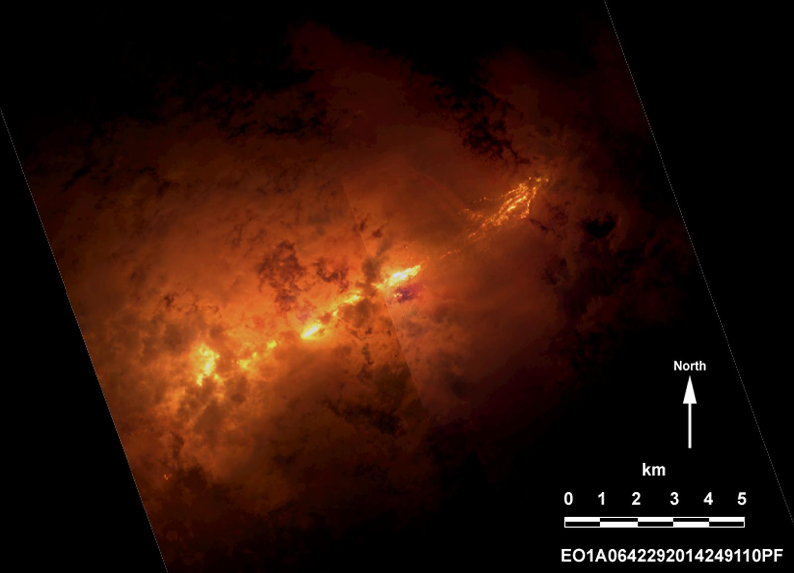
2014-09-09 | Earth |
Earth Observing-1 (EO-1) |
Advanced Land Imager (ALI) |
1600x1155x3 |
|
|||||
|
|
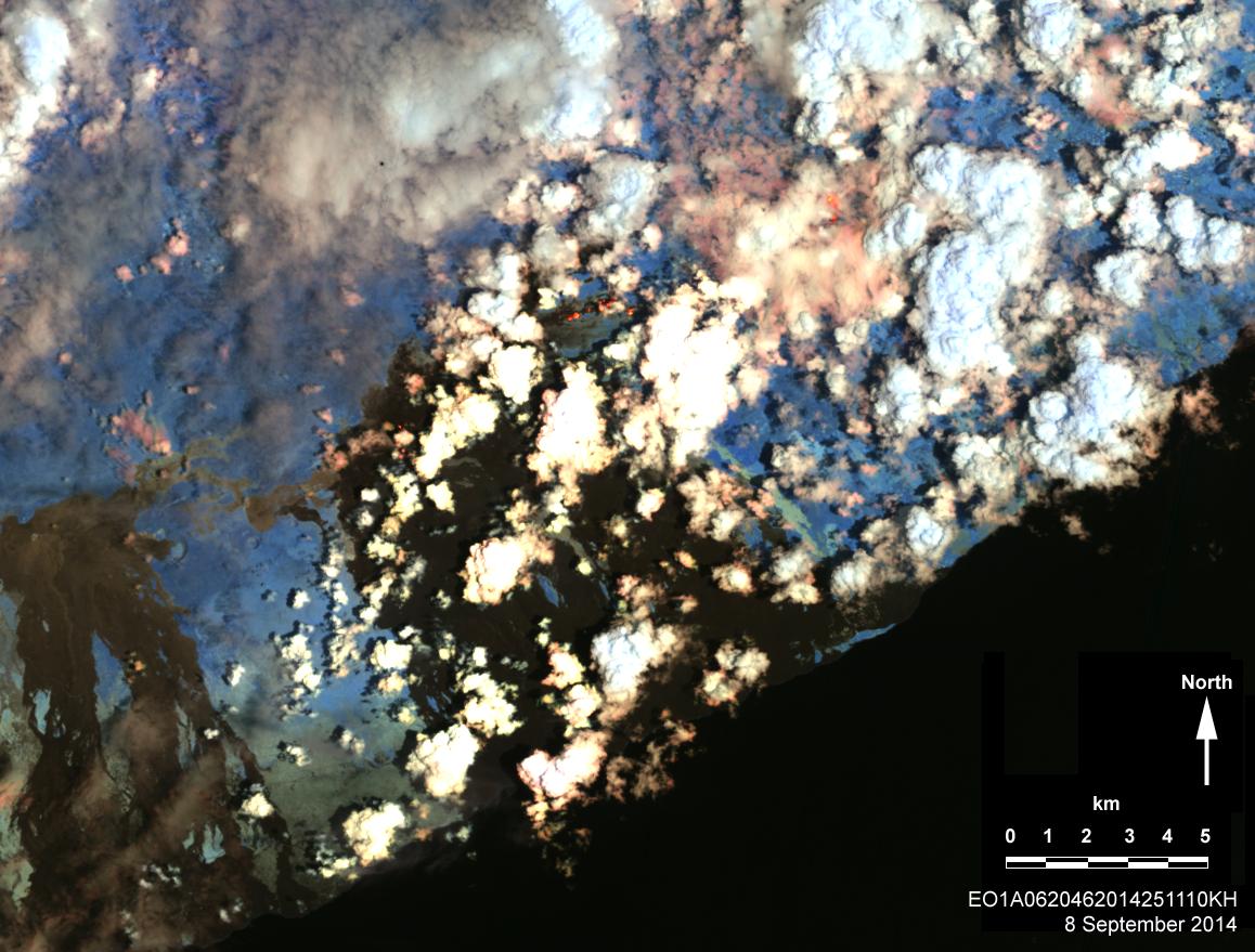
2014-09-15 | Earth |
Earth Observing-1 (EO-1) |
Advanced Land Imager (ALI) |
1158x879x3 |
|
|||||
|
|
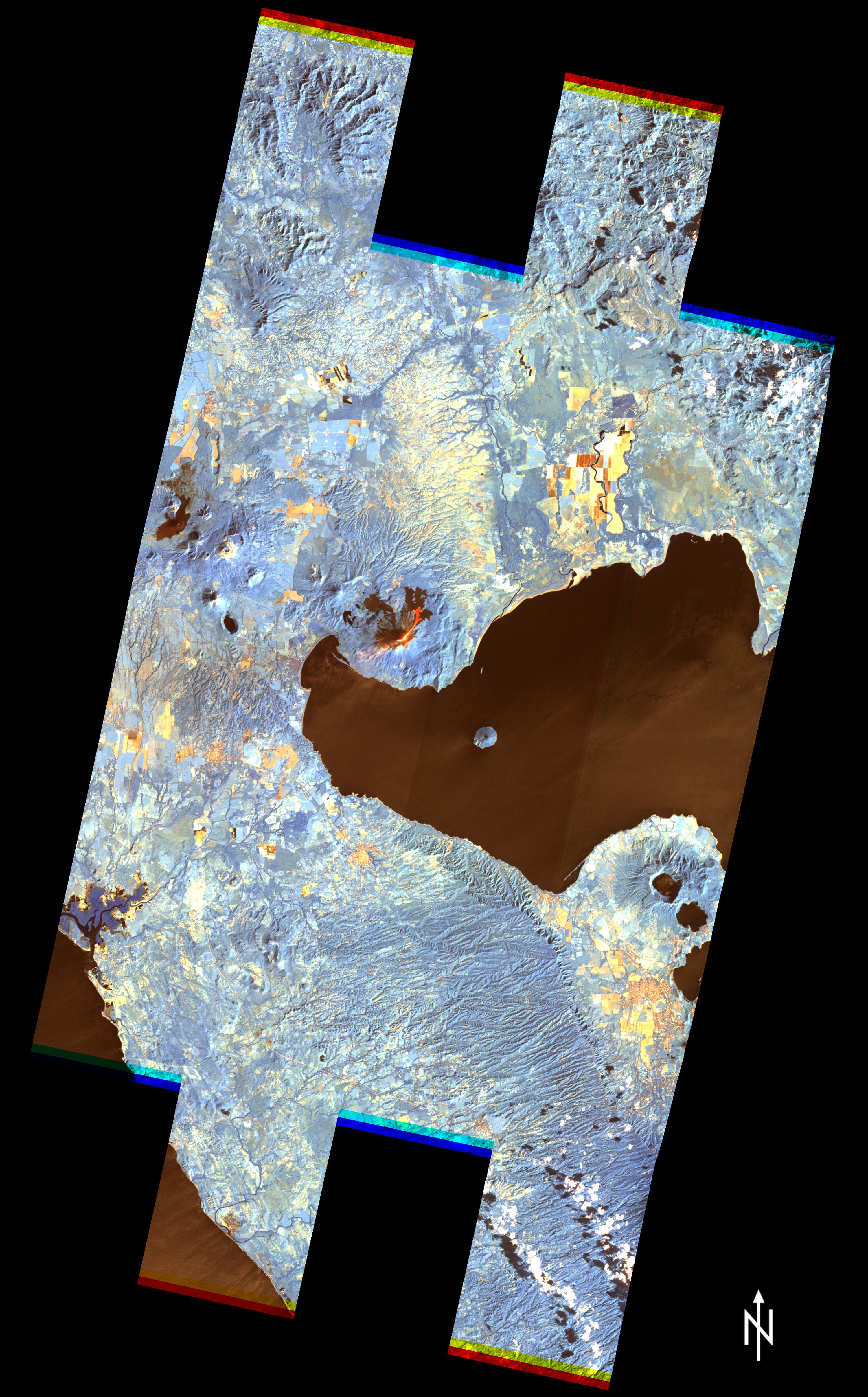
2015-12-07 | Earth |
Earth Observing-1 (EO-1) |
Advanced Land Imager (ALI) |
3000x4828x3 |
|
|||||
|
|
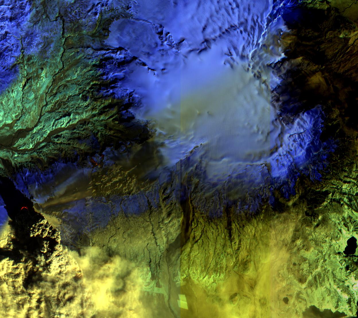
2011-06-17 | Earth |
Earth Observing-1 (EO-1) |
Advanced Land Imager (ALI) Hyperion Hyperspectral Imager |
1800x1528x3 |
|
|||||
|
|
2014-09-03 | Earth |
Earth Observing-1 (EO-1) |
Advanced Land Imager (ALI) Hyperion Hyperspectral Imager |
2800x4000x3 |
|
|||||
|
|
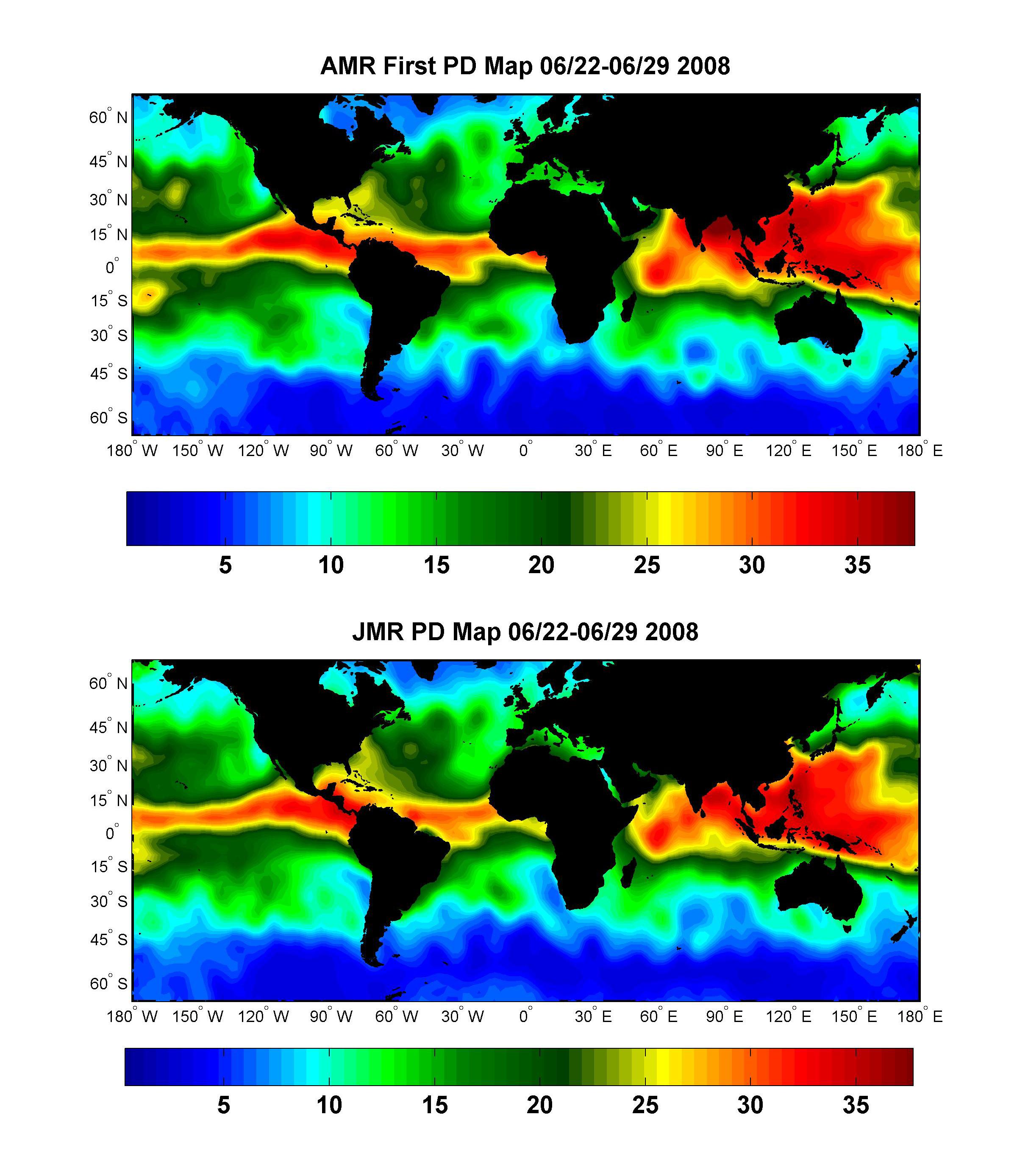
2008-07-15 | Earth |
OSTM/Jason-2 |
Advanced Microwave Radiometer (AMR) |
2400x2772x3 |
|
|||||
|
|
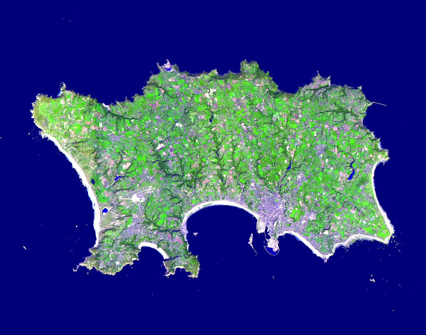
2015-02-19 | Earth |
Terra |
ASTER |
3300x2000x3 |
|
|||||
|
|
2002-10-29 | Earth |
Terra |
ASTER |
1400x1100x3 |
|
|||||
|
|
2000-03-11 | Earth |
Terra |
ASTER |
2263x2027x1 |
|
|||||
|
|
2000-03-11 | Earth |
Terra |
ASTER |
2160x2251x1 |
|
|||||
|
|
2000-03-11 | Earth |
Terra |
ASTER |
2288x2288x3 |
|
|||||
|
|
2011-11-10 | Earth |
Terra |
ASTER |
4032x7962x3 |
|
|||||
|
|
2000-04-26 | Earth |
Terra |
ASTER |
2100x1445x3 |
|
|||||
|
|
2000-04-26 | Earth |
Terra |
ASTER |
4100x4980x3 |
|
|||||
|
|
2000-04-26 | Earth |
Terra |
ASTER |
4100x5400x3 |
|
|||||
|
|
2000-04-26 | Earth |
Terra |
ASTER |
4100x6177x3 |
|
|||||
|
|
2000-04-26 | Earth |
Terra |
ASTER |
1174x1447x3 |
|
|||||
|
|
2000-10-06 | Earth |
Terra |
ASTER |
4980x4200x3 |
|
|||||
|
|
2000-10-06 | Earth |
Terra |
ASTER |
930x911x3 |
|
|||||
|
|
2000-10-06 | Earth |
Terra |
ASTER |
2470x1828x3 |
|
|||||
|
|
2000-10-06 | Earth |
Terra |
ASTER |
2280x3887x3 |

|
|||||
|
|
2000-10-06 | Earth |
Terra |
ASTER |
2645x1050x3 |

|
|||||
|
|
2000-10-06 | Earth |
Terra |
ASTER |
1595x1925x3 |
|
|||||
|
|
2000-10-06 | Earth |
Terra |
ASTER |
1528x1322x3 |
|
|||||
|
|
2000-10-06 | Earth |
Terra |
ASTER |
2412x4065x3 |
|
|||||
|
|
2000-10-06 | Earth |
Terra |
ASTER |
1211x911x3 |
|
|||||
|
|
2001-07-21 | Earth |
Terra |
ASTER |
1228x709x3 |
|
|||||
|
|
2001-07-21 | Earth |
Terra |
ASTER |
1282x1603x3 |

|
|||||
|
|
2001-07-21 | Earth |
Terra |
ASTER |
4368x4140x3 |
|
|||||
|
|
2000-10-20 | Earth |
Terra |
ASTER |
2138x2738x3 |
|
|||||
|
|
2001-07-21 | Earth |
Terra |
ASTER |
2000x1500x3 |
|
|||||
|
|
2001-07-21 | Earth |
Terra |
ASTER |
800x800x3 |
|
|||||
|
|
2001-07-21 | Earth |
Terra |
ASTER |
2412x1925x3 |
|
|||||
|
|
2001-07-21 | Earth |
Terra |
ASTER |
4048x3824x3 |
|
|||||
|
|
2001-07-21 | Earth |
Terra |
ASTER |
4200x3600x3 |
|
|||||
|
|
2001-07-21 | Earth |
Terra |
ASTER |
1191x1230x3 |
|
|||||
|
|
2001-07-21 | Earth |
Terra |
ASTER |
516x946x3 |

|
|||||
|
|
2001-07-26 | Earth |
Terra |
ASTER |
2000x2011x3 |
|
|||||
|
|
2001-08-01 | Earth |
Terra |
ASTER |
2000x2400x3 |
|
|||||
|
|
2001-08-03 | Earth |
Terra |
ASTER |
1600x2000x3 |
|
|||||
|
|
2001-08-03 | Earth |
Terra |
ASTER |
576x720x3 |
|
|||||
|
|
2001-08-27 | Earth |
Terra |
ASTER |
4376x4820x3 |
|
|||||
|
|
2002-10-22 | Earth |
Terra |
ASTER |
2720x1670x3 |
|
|||||
|
|
2002-02-01 | Earth |
Terra |
ASTER |
692x829x3 |
|
|||||
|
|
2002-02-01 | Earth |
Terra |
ASTER |
600x1250x3 |
|
|
|||||
|
|
2002-02-07 | Earth |
Terra |
ASTER |
4100x8220x3 |
|
|||||
|
|
2002-02-07 | Earth |
Terra |
ASTER |
4100x8221x3 |

|
|||||
|
|
2002-02-07 | Earth |
Terra |
ASTER |
1500x1137x3 |
|
|||||
|
|
2002-02-26 | Earth |
Terra |
ASTER |
1650x1800x3 |
|
|||||
|
|
2002-03-12 | Earth |
Terra |
ASTER |
1208x797x3 |
|
|||||
|
|
2002-04-03 | Earth |
Terra |
ASTER |
1100x1750x3 |
|
|||||
|
|
2002-04-19 | Earth |
Terra |
ASTER |
1597x1082x3 |
|
|||||
|
|
2002-04-19 | Earth |
Terra |
ASTER |
1200x600x3 |
|
|||||
|
|
2002-05-07 | Earth |
Terra |
ASTER |
1200x600x3 |
|
|||||
|
|
2002-06-11 | Earth |
Terra |
ASTER |
3594x3819x3 |
|
|||||
|
|
2002-06-11 | Earth |
Terra |
ASTER |
2840x2155x3 |
|
|||||
|
|
2002-06-18 | Earth |
Terra |
ASTER |
2146x2349x3 |
|
|||||
|
|
2002-01-03 | Earth |
Terra |
ASTER |
516x946x3 |

|
|||||
|
|
2002-07-16 | Earth |
Terra |
ASTER |
3885x2852x3 |
|
|||||
|
|
2002-07-25 | Earth |
Terra |
ASTER |
3924x2394x3 |
|
|||||
|
|
2002-07-31 | Earth |
Terra |
ASTER |
1028x798x3 |
|
|||||
|
|
2002-08-06 | Earth |
Terra |
ASTER |
3124x2554x3 |
|
|||||
|
|
2002-08-22 | Earth |
Terra |
ASTER |
2976x3942x3 |
|
|||||
|
|
2002-09-03 | Earth |
Terra |
ASTER |
3966x3732x3 |
|
|||||
|
|
2002-09-15 | Earth |
Terra |
ASTER |
4850x7960x3 |
|
|||||
|
|
2002-09-17 | Earth |
Terra |
ASTER |
1192x998x3 |
|
|||||
|
|
2002-09-24 | Earth |
Terra |
ASTER |
2576x2308x3 |
|
|||||

|
 |
|
|
|
 |
 |
|
|
|
|

|
| 1-100 | 101-200 | 201-300 | 301-400 | 401-500 | 501-600 | 601-700 | 701-800 | 801-900 | 901-1000 |
| Currently displaying images: 401 - 500 of 2593 |