|
Your search criteria found 251 images Mission |
| My List |
Addition Date | Target | Mission |
Instrument
|
Size |

|
2001-08-24 | Earth |
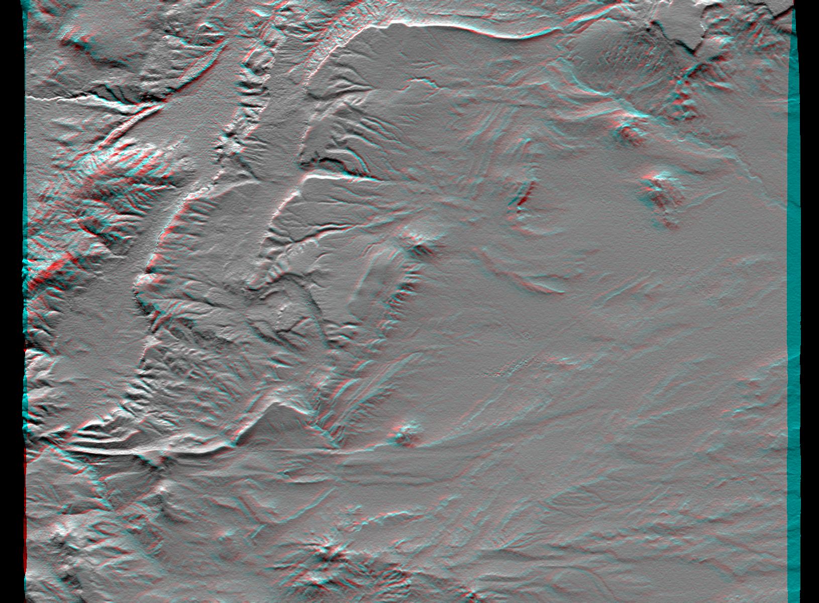
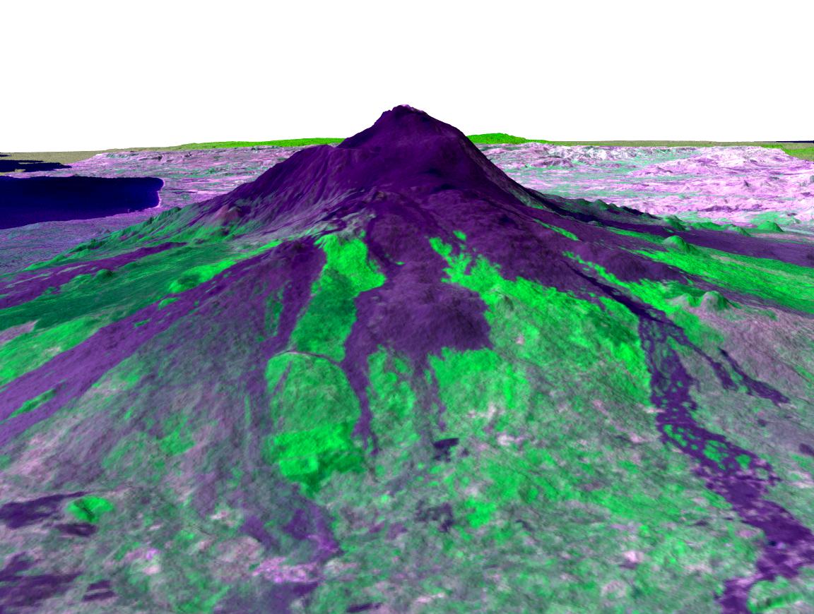
Shuttle Radar Topography Mission (SRTM) |
C-Band Interferometric Radar |
1530x1200x3 |
|
|||||
|
|
2001-08-24 | Earth |
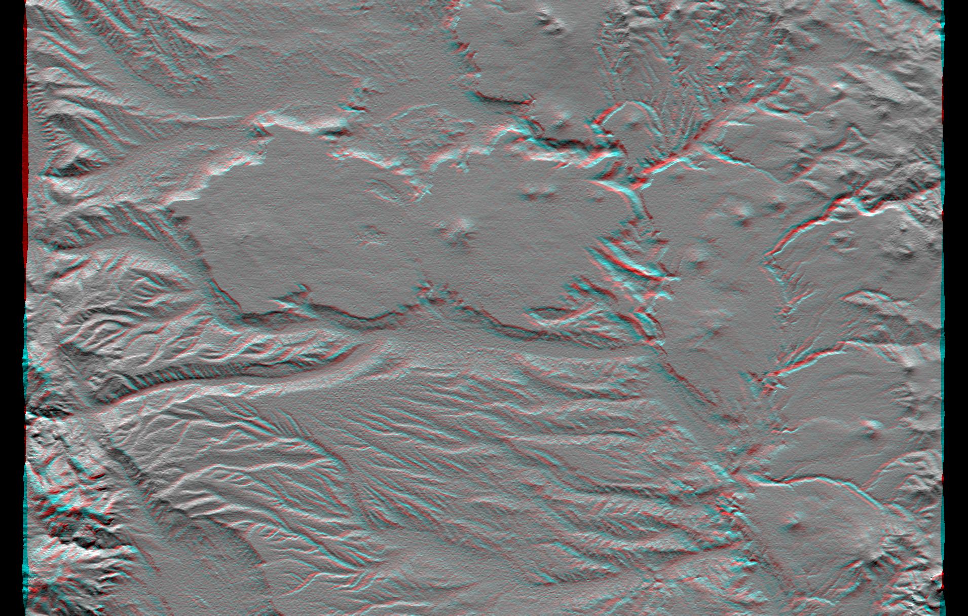
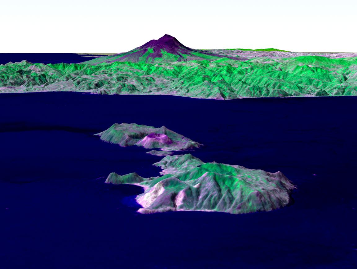
Shuttle Radar Topography Mission (SRTM) |
C-Band Interferometric Radar |
1630x1200x3 |
|
|||||
|
|
2001-09-01 | Earth |
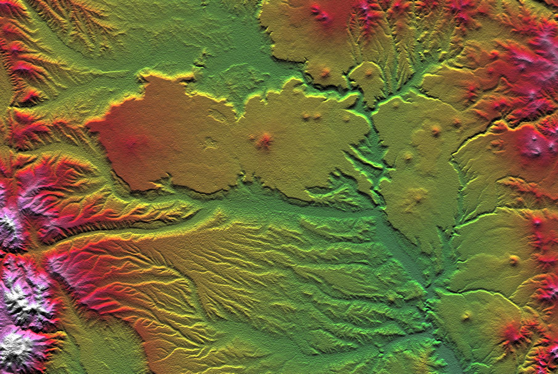
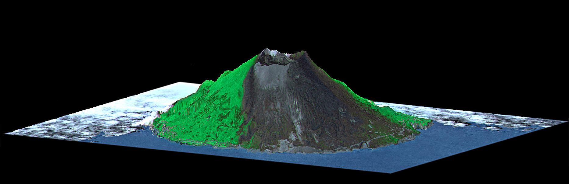
Shuttle Radar Topography Mission (SRTM) |
C-Band Interferometric Radar |
1910x1215x3 |
|
|||||
|
|
2001-09-01 | Earth |
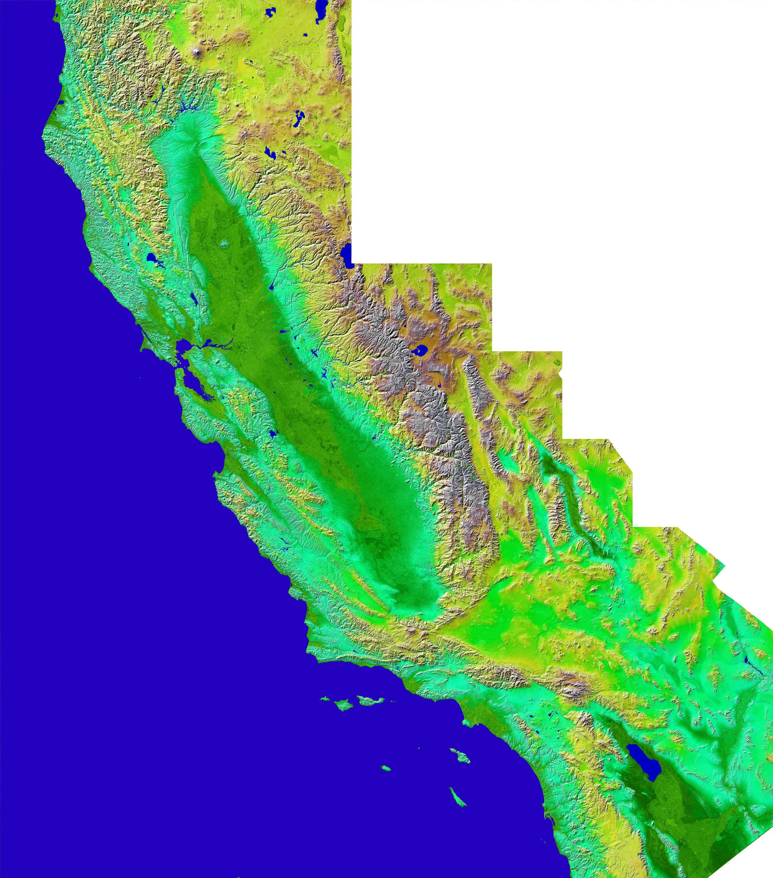
Shuttle Radar Topography Mission (SRTM) |
C-Band Interferometric Radar |
1810x1215x3 |

|
|||||
|
|
2002-10-22 | Earth |
Shuttle Radar Topography Mission (SRTM) |
C-Band Interferometric Radar |
9600x9000x3 |

|
|||||
|
|
2002-01-22 | Earth |
Shuttle Radar Topography Mission (SRTM) |
C-Band Interferometric Radar |
2640x3000x3 |
|
|||||
|
|
2002-03-29 | Earth |
Shuttle Radar Topography Mission (SRTM) |
C-Band Interferometric Radar |
7200x7200x3 |
|
|||||
|
|
2002-04-04 | Earth |
Shuttle Radar Topography Mission (SRTM) |
C-Band Interferometric Radar |
6000x8000x3 |

|
|||||
|
|
2002-04-22 | Earth |
Shuttle Radar Topography Mission (SRTM) |
C-Band Interferometric Radar |
7200x7200x3 |

|
|||||
|
|
2002-07-11 | Earth |
Shuttle Radar Topography Mission (SRTM) |
C-Band Interferometric Radar |
7200x3600x3 |
|
|||||
|
|
2002-07-11 | Earth |
Shuttle Radar Topography Mission (SRTM) |
C-Band Interferometric Radar |
7200x3601x3 |
|
|||||
|
|
2002-07-11 | Earth |
Shuttle Radar Topography Mission (SRTM) |
C-Band Interferometric Radar |
7200x3600x3 |

|
|||||
|
|
2002-07-11 | Earth |
Shuttle Radar Topography Mission (SRTM) |
C-Band Interferometric Radar |
7200x3600x3 |
|
|||||
|
|
2002-07-11 | Earth |
Shuttle Radar Topography Mission (SRTM) |
C-Band Interferometric Radar |
7200x3410x3 |
|
|||||
|
|
2002-08-29 | Earth |
Shuttle Radar Topography Mission (SRTM) |
C-Band Interferometric Radar |
688x550x3 |
|
|||||
|
|
2002-09-13 | Earth |
Shuttle Radar Topography Mission (SRTM) |
C-Band Interferometric Radar |
3601x3601x3 |

|
|||||
|
|
2002-09-26 | Earth |
Shuttle Radar Topography Mission (SRTM) |
C-Band Interferometric Radar |
1200x1200x3 |
|
|||||
|
|
2002-09-26 | Earth |
Shuttle Radar Topography Mission (SRTM) |
C-Band Interferometric Radar |
1016x865x3 |

|
|||||
|
|
2002-11-14 | Earth |
Shuttle Radar Topography Mission (SRTM) |
C-Band Interferometric Radar |
9000x15666x3 |

|
|||||
|
|
2002-12-12 | Earth |
Shuttle Radar Topography Mission (SRTM) |
C-Band Interferometric Radar |
2500x2000x3 |

|
|||||
|
|
2003-03-06 | Earth |
Shuttle Radar Topography Mission (SRTM) |
C-Band Interferometric Radar |
9600x7240x3 |

|
|||||
|
|
2003-03-06 | Earth |
Shuttle Radar Topography Mission (SRTM) |
C-Band Interferometric Radar |
9600x7240x3 |

|
|||||
|
|
2003-03-06 | Earth |
Shuttle Radar Topography Mission (SRTM) |
C-Band Interferometric Radar |
18001x11438x3 |

|
|||||
|
|
2003-03-06 | Earth |
Shuttle Radar Topography Mission (SRTM) |
C-Band Interferometric Radar |
1600x1080x3 |
|
|||||
|
|
2003-03-06 | Earth |
Shuttle Radar Topography Mission (SRTM) |
C-Band Interferometric Radar |
3010x3416x3 |

|
|||||
|
|
2003-03-13 | Earth |
Shuttle Radar Topography Mission (SRTM) |
C-Band Interferometric Radar |
1587x1536x3 |
|
|||||
|
|
2003-03-13 | Earth |
Shuttle Radar Topography Mission (SRTM) |
C-Band Interferometric Radar |
628x801x3 |
|
|||||
|
|
2003-03-27 | Earth |
Shuttle Radar Topography Mission (SRTM) |
C-Band Interferometric Radar |
3200x3400x3 |
|
|||||
|
|
2003-03-27 | Earth |
Shuttle Radar Topography Mission (SRTM) |
C-Band Interferometric Radar |
1573x2401x3 |
|
|||||
|
|
2003-06-19 | Earth |
Shuttle Radar Topography Mission (SRTM) |
C-Band Interferometric Radar |
7200x10886x3 |

|
|||||
|
|
2003-06-19 | Earth |
Shuttle Radar Topography Mission (SRTM) |
C-Band Interferometric Radar |
7200x10886x3 |

|
|||||
|
|
2003-06-19 | Earth |
Shuttle Radar Topography Mission (SRTM) |
C-Band Interferometric Radar |
960x725x3 |

|
|||||
|
|
2003-07-03 | Earth |
Landsat Shuttle Radar Topography Mission (SRTM) |
C-Band Interferometric Radar |
1025x577x3 |

|
|||||
|
|
2003-07-03 | Earth |
Landsat Shuttle Radar Topography Mission (SRTM) |
C-Band Interferometric Radar |
2805x1705x3 |
|
|||||
|
|
2003-07-25 | Earth |
Shuttle Radar Topography Mission (SRTM) |
C-Band Interferometric Radar |
8688x8296x3 |
|
|||||
|
|
2003-08-21 | Earth |
Shuttle Radar Topography Mission (SRTM) |
C-Band Interferometric Radar |
14850x8000x3 |

|
|||||
|
|
2003-08-21 | Earth |
Shuttle Radar Topography Mission (SRTM) |
C-Band Interferometric Radar |
21600x9049x3 |

|
|||||
|
|
2003-08-21 | Earth |
Shuttle Radar Topography Mission (SRTM) |
C-Band Interferometric Radar |
1900x1070x3 |
|
|||||
|
|
2004-02-13 | Earth |
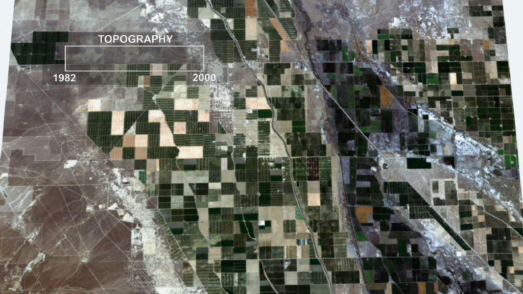
Landsat Shuttle Radar Topography Mission (SRTM) |
C-Band Interferometric Radar |
4300x1212x3 |
|
|||||
|
|
2005-01-14 | Earth |
Shuttle Radar Topography Mission (SRTM) |
C-Band Interferometric Radar |
3000x5200x3 |

|
|||||
|
|
2004-10-01 | Earth |
Shuttle Radar Topography Mission (SRTM) |
C-Band Imaging Radar X-Band Radar |
2300x1730x3 |

|
|||||
|
|
2005-03-16 | Earth |
Shuttle Radar Topography Mission (SRTM) |
C-Band Imaging Radar X-Band Radar |
6587x8336x3 |

|
|||||
|
|
2005-08-29 | Earth |
Shuttle Radar Topography Mission (SRTM) |
C-Band Imaging Radar X-Band Radar |
3000x2519x3 |

|
|||||
|
|
2005-08-29 | Earth |
Shuttle Radar Topography Mission (SRTM) |
C-Band Imaging Radar X-Band Radar |
1800x2061x3 |

|
|||||
|
|
2006-01-25 | Earth |
Shuttle Radar Topography Mission (SRTM) |
C-Band Imaging Radar X-Band Radar |
1586x1965x3 |

|
|||||
|
|
2005-09-22 | Earth |
Shuttle Radar Topography Mission (SRTM) |
C-Band Imaging Radar X-Band Imaging Radar |
3621x1525x3 |
|
|||||
|
|
2005-01-14 | Earth |
Shuttle Radar Topography Mission (SRTM) Terra |
ASTER SIR-C/X-SAR |
1987x1840x3 |

|
|||||
|
|
2002-11-01 | Earth |
Shuttle Radar Topography Mission (SRTM) Terra |
ASTER C-Band Interferometric Radar |
1152x870x3 |

|
|||||
|
|
2002-11-01 | Earth |
Shuttle Radar Topography Mission (SRTM) Terra |
ASTER C-Band Interferometric Radar |
1152x870x3 |
|
|||||
|
|
2000-08-10 | Earth |
Shuttle Radar Topography Mission (SRTM) Terra |
ASTER C-Band Interferometric Radar |
1866x605x3 |

|
|||||
|
|
2012-02-06 | Earth |
Shuttle Radar Topography Mission (SRTM) |
1024x576x3 | |
|
|||||

|
 |
|
 |
|
| 1-100 | 101-200 | 201-300 |
| Currently displaying images: 201 - 251 of 251 |