|
Your search criteria found 3151 images Feature Name |
| My List |
Addition Date |
Target
|
Mission | Instrument | Size |

|
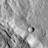
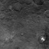
2017-10-06 | Ceres |
Dawn |
Framing Camera |
1024x1024x1 |
|
|||||
|
|
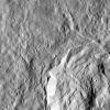
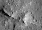
2017-11-02 | Ceres |
Dawn |
Framing Camera |
1024x1024x1 |

|
|||||
|
|
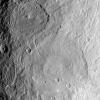
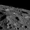
2017-12-14 | Ceres |
Dawn |
Framing Camera |
1024x1024x1 |
|
|||||
|
|
2018-01-17 | Ceres |
Dawn |
Framing Camera |
1214x904x3 |
|
|||||
|
|
2018-02-22 | Ceres |
Dawn |
Framing Camera |
1024x1024x1 |
|
|||||
|
|
2018-03-22 | Ceres |
Dawn |
Framing Camera |
1024x1024x1 |
|
|||||
|
|
2018-12-11 | Ceres |
Dawn |
Framing Camera |
950x700x1 |
|
|||||
|
|
2019-01-23 | Ceres |
Dawn |
Framing Camera |
2000x2000x1 |
|
|||||
|
|
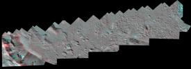
2020-08-10 | Ceres |
Dawn |
Framing Camera |
13248x4826x3 |
|
|||||
|
|
2020-08-10 | Ceres |
Dawn |
Framing Camera |
2413x1488x3 |
|
|||||
|
|
2020-08-10 | Ceres |
Dawn |
Framing Camera |
1920x1674x3 |
|
|||||
|
|
2020-08-10 | Ceres |
Dawn |
Framing Camera |
1234x1065x3 |
|
|||||
|
|
2020-08-10 | Ceres |
Dawn |
Framing Camera |
1213x825x1 |
|
|||||
|
|
2015-07-10 | Charon |
New Horizons |
LORRI |
724x574x1 |
|
|||||
|
|
2005-07-01 | Comet | 720x573x3 | ||

|
|||||
|
|
2010-10-05 | Comet |
Wide-field Infrared Survey Explorer (WISE) |
WISE Telescope |
2148x1331x3 |
|
|||||
|
|
2012-09-07 | Dactyl |
Dawn |
Framing Camera |
608x607x1 |

|
|||||
|
|
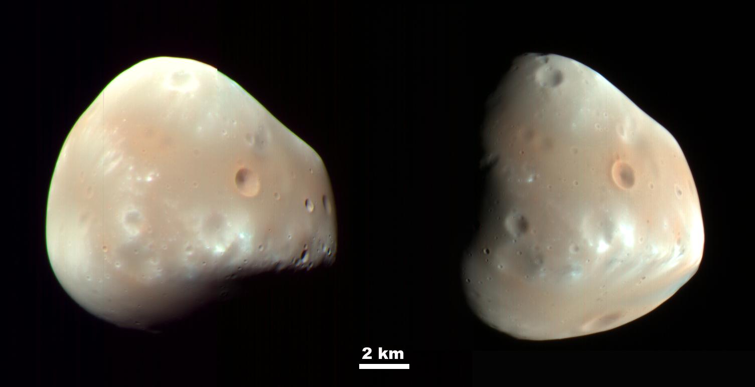
2009-03-09 | Deimos |
Mars Reconnaissance Orbiter (MRO) |
HiRISE |
1505x772x3 |
|
|||||
|
|
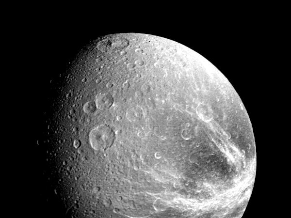
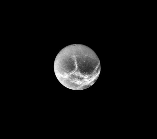
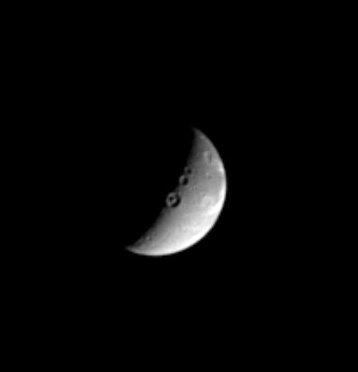
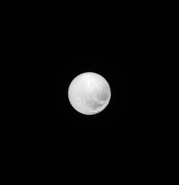
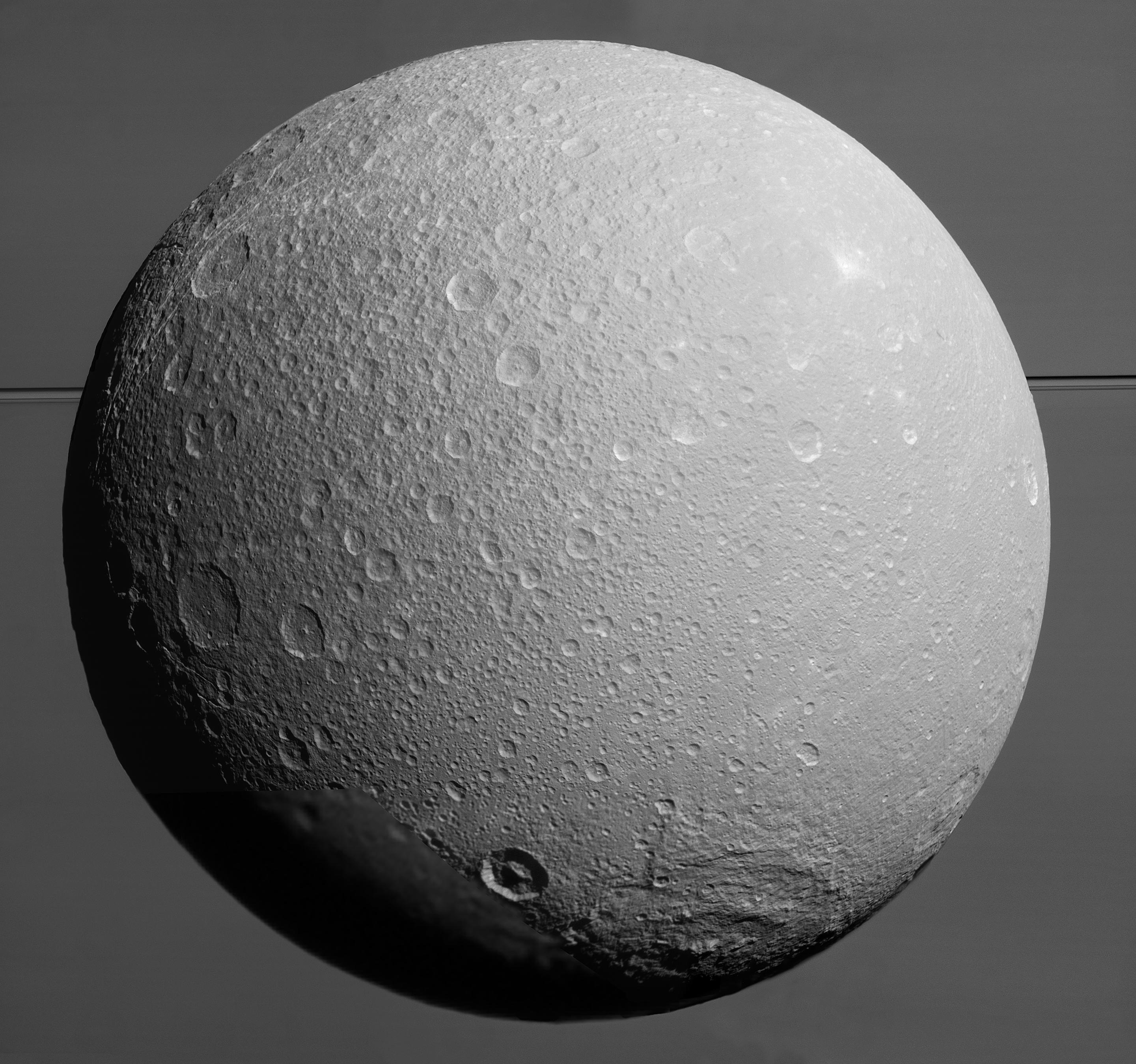
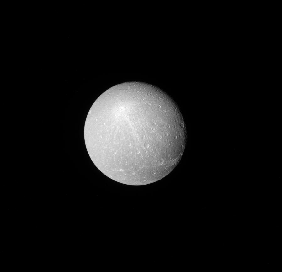
1996-09-26 | Dione |
Voyager |
VG ISS - Narrow Angle |
1200x1180x1 |
|
|||||
|
|
1998-11-13 | Dione |
Voyager |
VG ISS - Narrow Angle |
600x450x1 |
|
|||||
|
|
1998-11-08 | Dione |
Voyager |
VG ISS - Narrow Angle |
500x500x1 |
|
|||||
|
|
2000-05-23 | Dione |
Voyager |
VG ISS - Narrow Angle |
516x457x1 |

|
|||||
|
|
2004-12-20 | Dione |
Cassini-Huygens |
ISS - Narrow Angle |
397x413x1 |

|
|||||
|
|
2004-12-23 | Dione |
Cassini-Huygens |
ISS - Narrow Angle |
560x590x1 |
|
|||||
|
|
2005-06-01 | Dione |
Cassini-Huygens |
ISS - Wide Angle |
202x206x1 |
|
|||||
|
|
2005-10-07 | Dione |
Cassini-Huygens |
ISS - Narrow Angle |
534x569x1 |

|
|||||
|
|
2005-10-17 | Dione |
Cassini-Huygens |
ISS - Narrow Angle |
7600x2000x1 |

|
|||||
|
|
2005-10-17 | Dione |
Cassini-Huygens |
ISS - Narrow Angle |
3875x3875x1 |

|
|||||
|
|
2005-10-17 | Dione |
Cassini-Huygens |
ISS - Narrow Angle |
3875x3875x3 |
|
|||||
|
|
2005-10-17 | Dione |
Cassini-Huygens |
ISS - Narrow Angle |
1020x1020x1 |

|
|||||
|
|
2007-06-06 | Dione |
Cassini-Huygens |
ISS - Narrow Angle |
1860x1860x1 |
|
|||||
|
|
2008-01-23 | Dione |
Cassini-Huygens |
ISS - Narrow Angle |
974x988x1 |

|
|||||
|
|
2009-03-25 | Dione |
Cassini-Huygens |
ISS - Narrow Angle |
432x432x1 |
|
|||||
|
|
2009-07-29 | Dione |
Cassini-Huygens |
ISS - Narrow Angle |
700x700x1 |

|
|||||
|
|
2012-07-09 | Dione |
Cassini-Huygens |
ISS - Narrow Angle |
1016x1016x1 |

|
|||||
|
|
2014-06-30 | Dione |
Cassini-Huygens |
ISS - Narrow Angle |
592x614x1 |

|
|||||
|
|
2015-08-17 | Dione |
Cassini-Huygens |
ISS - Narrow Angle |
1024x1024x1 |
|
|||||
|
|
2015-08-20 | Dione |
Cassini-Huygens |
ISS - Narrow Angle ISS - Wide Angle |
2881x2698x1 |

|
|||||
|
|
2015-08-20 | Dione |
Cassini-Huygens |
ISS - Wide Angle |
693x1000x1 |
|
|||||
|
|
2016-08-22 | Dione |
Cassini-Huygens |
ISS - Narrow Angle |
1020x1020x1 |
|
|||||
|
|
2017-02-20 | Dione |
Cassini-Huygens |
ISS - Narrow Angle |
899x868x1 |

|
|||||
|
|
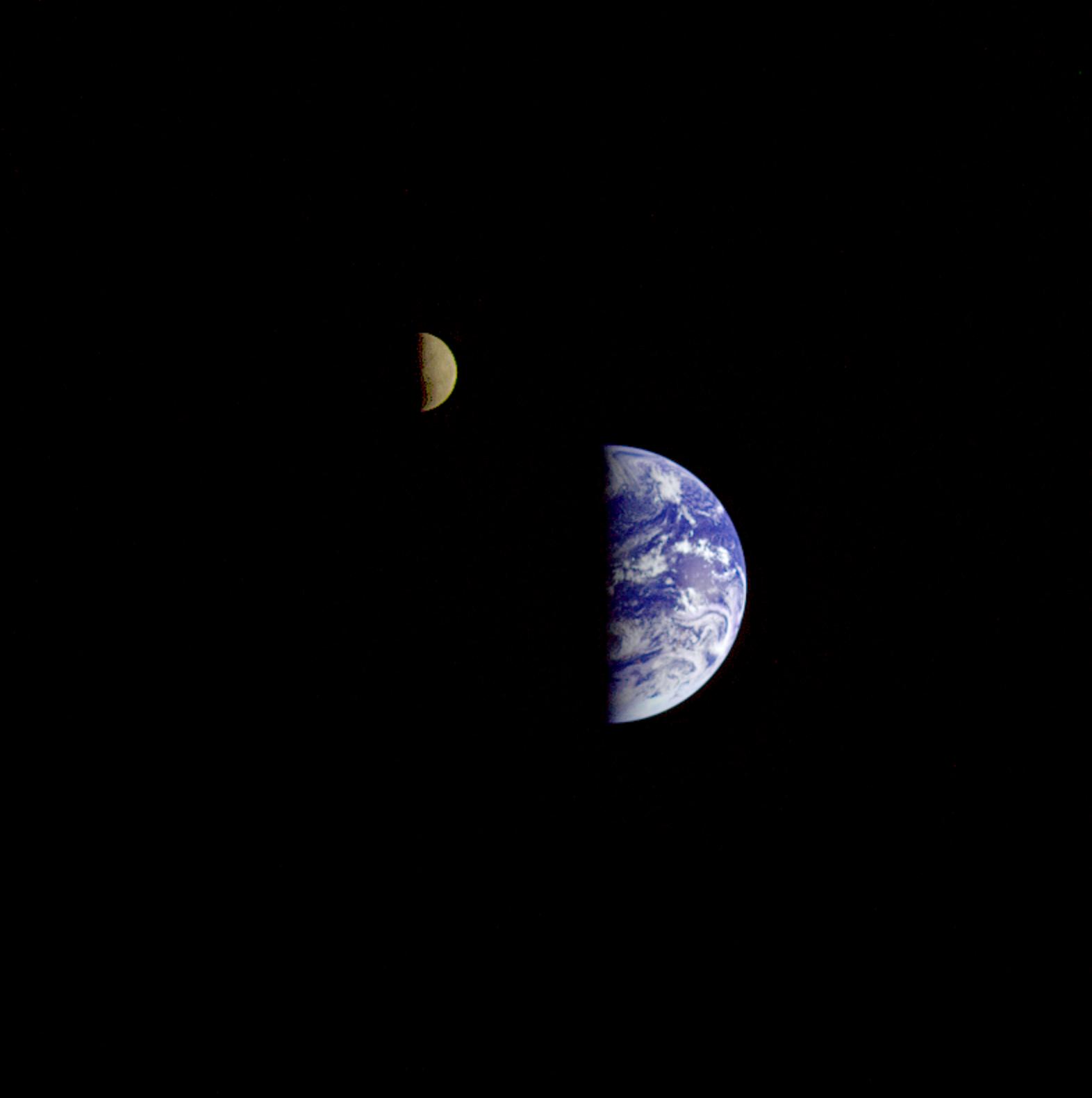
1996-01-29 | Earth |
Galileo |
Solid-State Imaging |
1572x1580x3 |

|
|||||
|
|
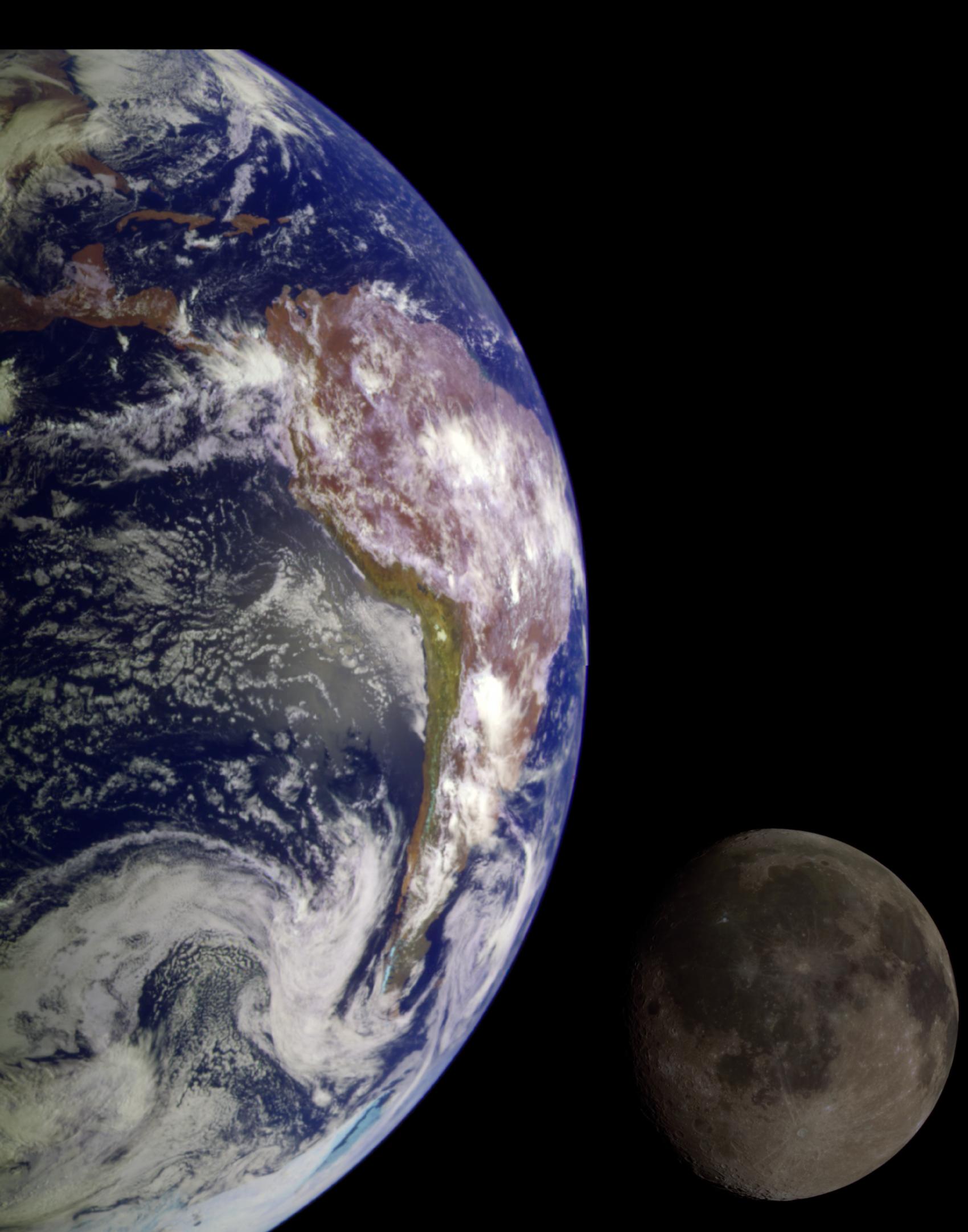
1998-06-04 | Earth |
Galileo |
Solid-State Imaging |
1700x2164x3 |

|
|||||
|
|
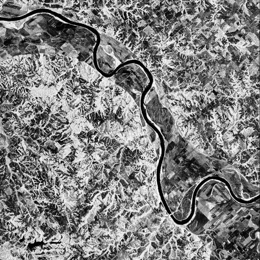
1996-11-13 | Earth |
Spaceborne Imaging Radar-C/X-Band Synthetic Aperture Radar |
Imaging Radar |
2910x2040x3 |
|
|||||
|
|
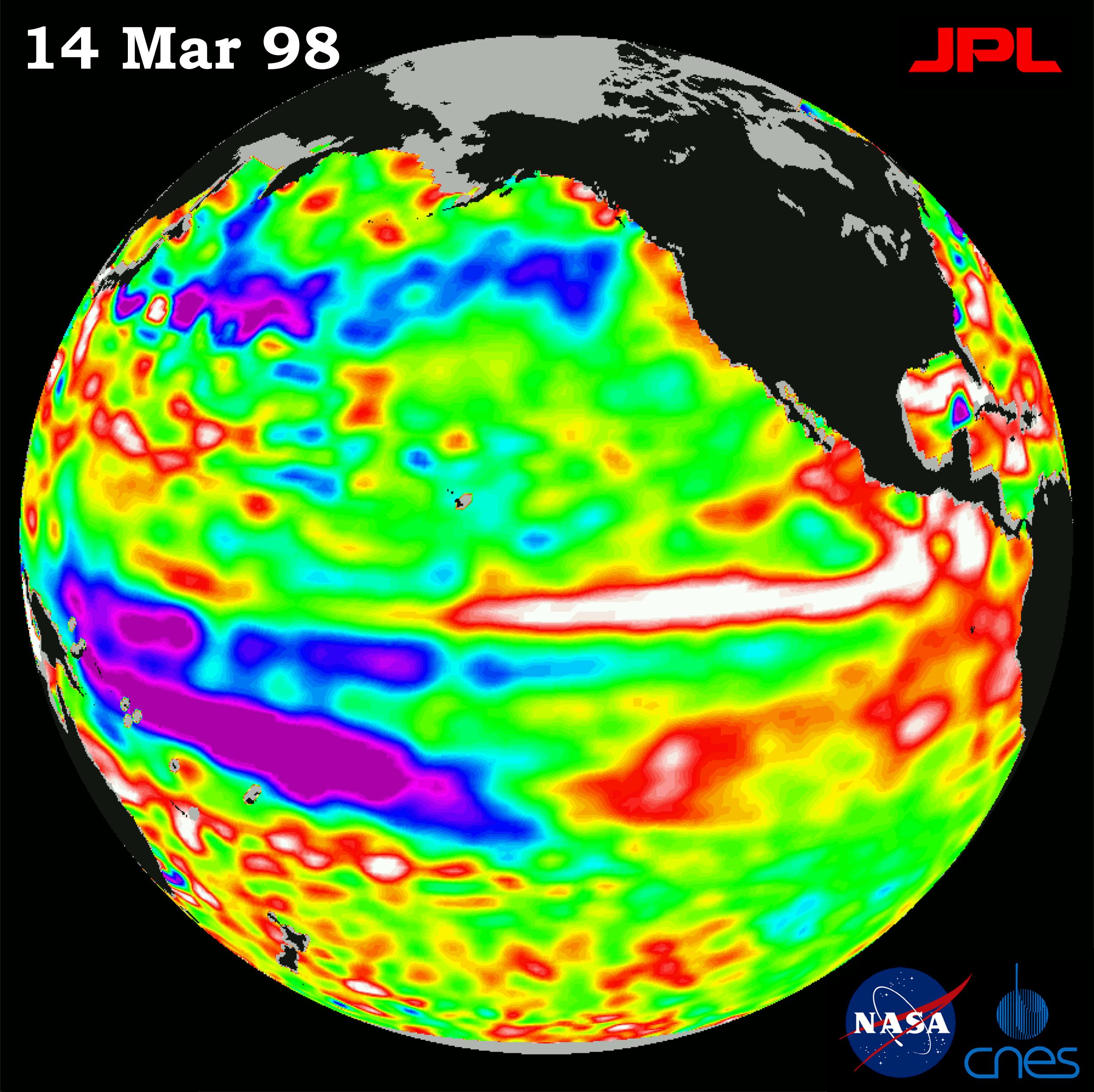
1998-04-02 | Earth |
TOPEX/Poseidon |
Altimeter |
2550x2545x3 |
|
|||||
|
|
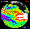
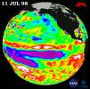
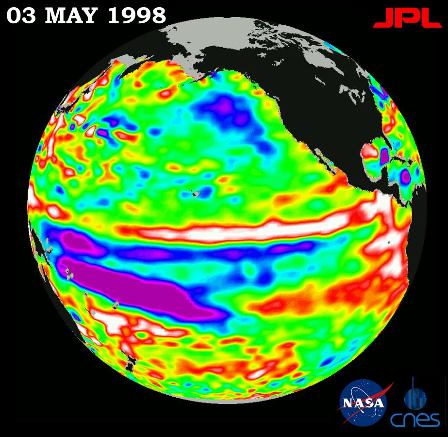
1998-07-03 | Earth |
TOPEX/Poseidon |
Altimeter |
901x900x3 |
|
|||||
|
|
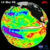
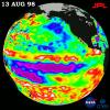
1998-11-04 | Earth |
TOPEX/Poseidon |
Altimeter |
1912x1908x3 |
|
|||||
|
|
1998-07-03 | Earth |
TOPEX/Poseidon |
Altimeter |
923x900x3 |
|
|||||
|
|
1998-07-03 | Earth |
TOPEX/Poseidon |
Altimeter |
900x900x3 |
|
|||||
|
|
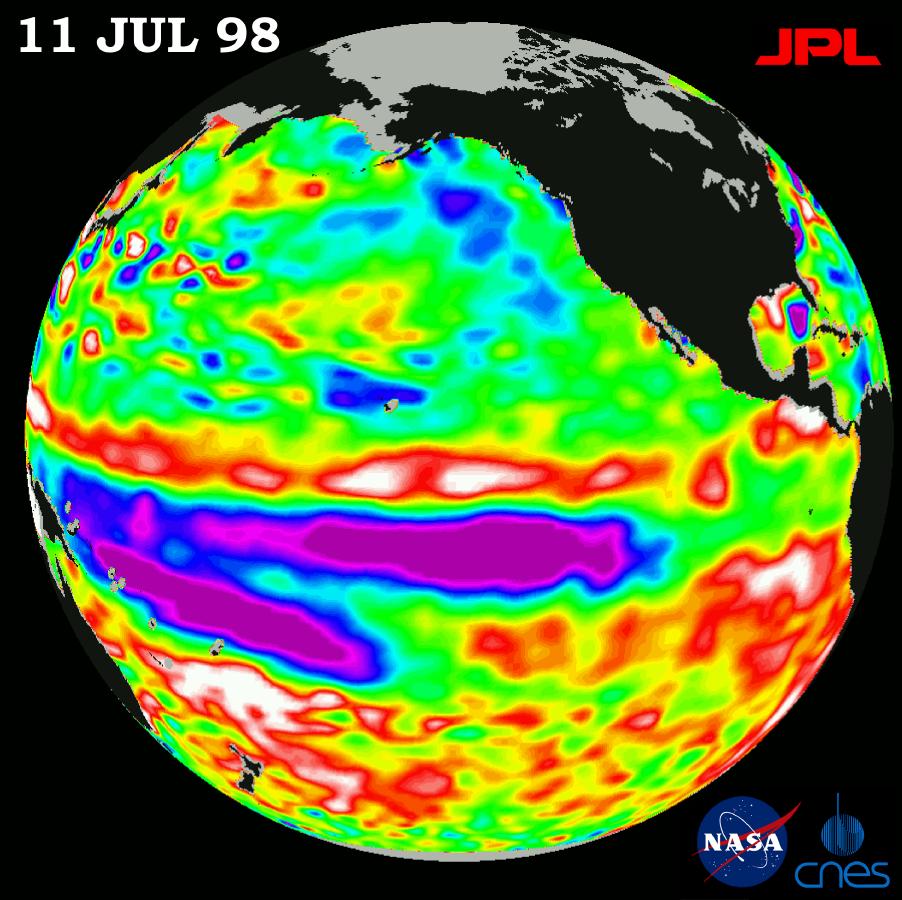
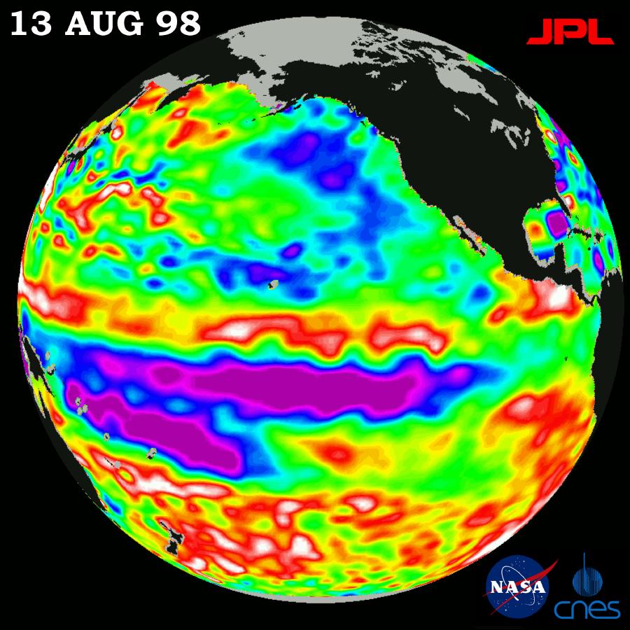
1998-07-21 | Earth |
TOPEX/Poseidon |
Altimeter |
902x900x3 |
|
|||||
|
|
1998-09-26 | Earth |
TOPEX/Poseidon |
Altimeter |
900x900x3 |
|
|||||
|
|
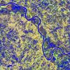
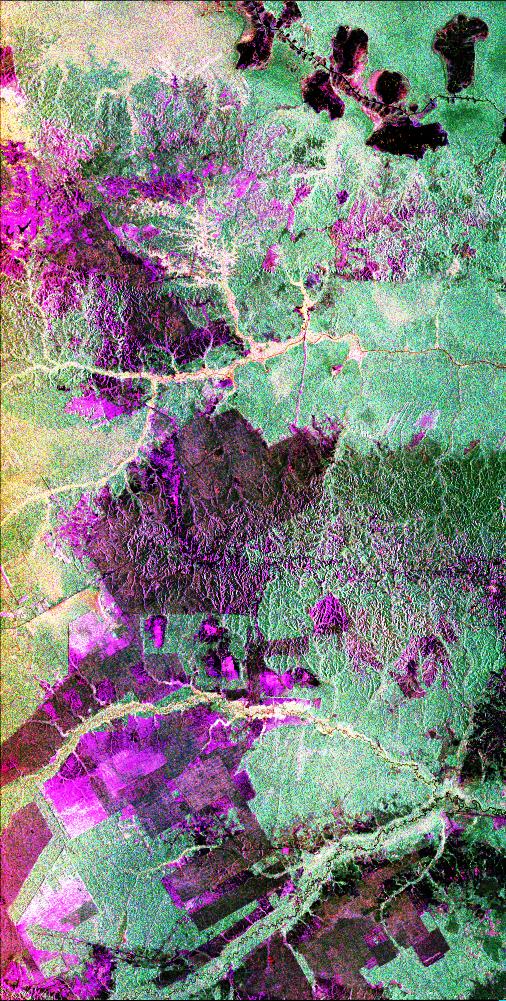
1999-01-27 | Earth |
Spaceborne Imaging Radar-C/X-Band Synthetic Aperture Radar |
376x828x3 | |
|
|
|||||
|
|
1999-05-01 | Earth |
Spaceborne Imaging Radar-C/X-Band Synthetic Aperture Radar |
1211x1025x3 | |
|
|||||
|
|
1999-05-01 | Earth |
Spaceborne Imaging Radar-C/X-Band Synthetic Aperture Radar |
1392x1152x3 | |
|
|||||
|
|
1999-05-01 | Earth |
Spaceborne Imaging Radar-C/X-Band Synthetic Aperture Radar |
1020x1020x3 | |
|
|||||
|
|
1999-05-01 | Earth |
Spaceborne Imaging Radar-C/X-Band Synthetic Aperture Radar |
1020x1020x1 | |
|
|||||
|
|
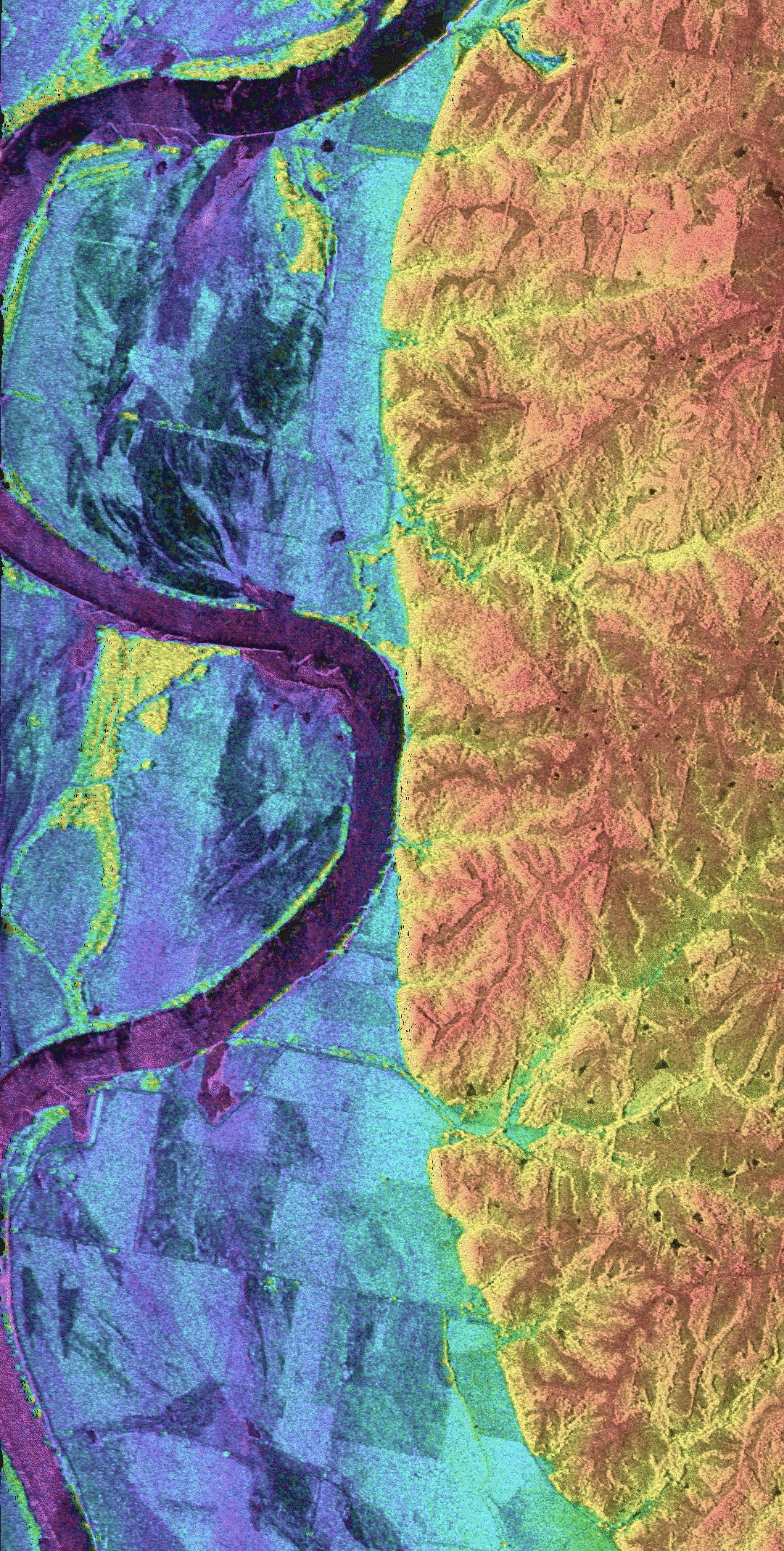
1999-04-15 | Earth |
Spaceborne Imaging Radar-C/X-Band Synthetic Aperture Radar |
506x1001x3 | |

|
|||||
|
|
1999-04-15 | Earth |
Airborne Synthetic Aperture Radar (AIRSAR) |
AirSAR |
1081x2137x3 |

|
|||||
|
|
1999-04-15 | Earth |
Spaceborne Imaging Radar-C/X-Band Synthetic Aperture Radar |
2447x1789x3 | |

|
|||||
|
|
1999-04-15 | Earth |
Spaceborne Imaging Radar-C/X-Band Synthetic Aperture Radar |
2206x1758x3 | |

|
|||||
|
|
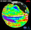
1999-08-23 | Earth |
TOPEX/Poseidon |
Altimeter |
902x900x3 |
|
|||||
|
|
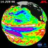
1999-11-18 | Earth |
TOPEX/Poseidon |
Altimeter |
902x900x3 |
|
|||||
|
|
2000-05-08 | Earth |
QuikScat |
SeaWinds Scatterometer |
1452x1280x3 |
|
|||||
|
|
2000-05-07 | Earth |
TOPEX/Poseidon |
Altimeter |
900x900x3 |
|
|||||
|
|
2000-04-19 | Earth |
Terra |
MISR |
1920x1079x3 |

|
|||||
|
|
2000-06-20 | Earth |
Terra |
MISR |
2220x2048x3 |
|
|||||
|
|
2000-06-20 | Earth |
Terra |
MISR |
2548x3800x3 |
|
|||||
|
|
2000-10-25 | Earth |
Terra |
MISR |
2094x1092x3 |

|
|||||
|
|
2000-02-15 | Earth |
Shuttle Radar Topography Mission (SRTM) |
C-Band Interferometric Radar |
2400x2938x3 |

|
|||||
|
|
2001-02-09 | Earth |
Landsat |
439x593x3 | |
|
|||||
|
|
2001-08-08 | Earth |
Terra |
MISR |
1292x1044x3 |
|
|||||
|
|
2001-08-29 | Earth |
Terra |
MISR |
983x1250x3 |
|
|||||
|
|
2001-11-28 | Earth |
Terra |
MISR |
1698x2372x3 |
|
|||||
|
|
2001-12-05 | Earth |
Terra |
MISR |
1156x886x3 |
|
|||||
|
|
2002-02-13 | Earth |
Terra |
MISR |
1084x1300x3 |
|
|||||
|
|
2002-07-03 | Earth |
Terra |
MISR |
1214x1700x3 |
|
|||||
|
|
2002-09-13 | Earth |
Shuttle Radar Topography Mission (SRTM) |
C-Band Interferometric Radar |
3601x3601x3 |

|
|||||
|
|
2002-09-17 | Earth |
Terra |
ASTER |
1192x998x3 |
|
|||||
|
|
2002-09-26 | Earth |
Shuttle Radar Topography Mission (SRTM) |
C-Band Interferometric Radar |
1200x1200x3 |
|
|||||
|
|
2002-09-26 | Earth |
Shuttle Radar Topography Mission (SRTM) |
C-Band Interferometric Radar |
1016x865x3 |
|
|||||
|
|
2003-03-06 | Earth |
Shuttle Radar Topography Mission (SRTM) |
C-Band Interferometric Radar |
9600x7240x3 |

|
|||||
|
|
2003-03-06 | Earth |
Shuttle Radar Topography Mission (SRTM) |
C-Band Interferometric Radar |
9600x7240x3 |

|
|||||
|
|
2003-03-06 | Earth |
Shuttle Radar Topography Mission (SRTM) |
C-Band Interferometric Radar |
18001x11438x3 |

|
|||||
|
|
2003-03-06 | Earth |
Shuttle Radar Topography Mission (SRTM) |
C-Band Interferometric Radar |
1600x1080x3 |
|
|||||
|
|
2003-03-06 | Earth |
Shuttle Radar Topography Mission (SRTM) |
C-Band Interferometric Radar |
3010x3416x3 |

|
|||||
|
|
2003-03-27 | Earth |
Shuttle Radar Topography Mission (SRTM) |
C-Band Interferometric Radar |
3200x3400x3 |
|
|||||
|
|
2003-03-27 | Earth |
Shuttle Radar Topography Mission (SRTM) |
C-Band Interferometric Radar |
1573x2401x3 |
|
|||||
|
|
2003-06-03 | Earth |
Terra |
MISR |
400x309x3 |
|
|||||
|
|
2003-07-03 | Earth |
Landsat Shuttle Radar Topography Mission (SRTM) |
C-Band Interferometric Radar |
1025x577x3 |

|
|||||
|
|
2003-07-03 | Earth |
Landsat Shuttle Radar Topography Mission (SRTM) |
C-Band Interferometric Radar |
2805x1705x3 |
|
|||||
|
|
2004-06-17 | Earth |
Landsat Shuttle Radar Topography Mission (SRTM) |
C-Band Interferometric Radar X-Band Radar |
5657x3645x3 |
|
|||||
|
|
2004-06-17 | Earth |
Landsat Shuttle Radar Topography Mission (SRTM) |
C-Band Interferometric Radar X-Band Radar |
2259x1244x3 |
|
|||||
|
|
2004-06-17 | Earth |
Shuttle Radar Topography Mission (SRTM) |
C-Band Interferometric Radar X-Band Radar |
9600x10500x3 |

|
|||||
|
|
2004-06-02 | Earth |
Mars Exploration Rover (MER) |
1576x980x3 | |

|
|||||
|
|
2004-07-03 | Earth |
Landsat Shuttle Radar Topography Mission (SRTM) |
C-Band Radar X-Band Radar |
5000x1700x3 |
|
|||||
|
|
2004-07-03 | Earth |
Landsat Shuttle Radar Topography Mission (SRTM) |
C-Band Radar X-Band Radar |
5000x1700x3 |
|
|||||
|
|
2004-12-14 | Earth |
Shuttle Radar Topography Mission (SRTM) |
C-Band Radar X-Band Radar |
4500x5800x3 |

|
|||||
|
|
2005-01-12 | Earth |
Terra |
MISR |
1245x1090x3 |
|
|||||
|
|
2005-01-26 | Earth |
Terra |
MISR |
1516x1504x3 |

|
|||||
|
|
2005-02-23 | Earth |
Terra |
MISR |
1548x1224x3 |
|
|||||

|
 |
|
 |
 |
|
|
|
|
|
|

|
| 1-100 | 101-200 | 201-300 | 301-400 | 401-500 | 501-600 | 601-700 | 701-800 | 801-900 | 901-1000 |
| Currently displaying images: 201 - 300 of 3151 |