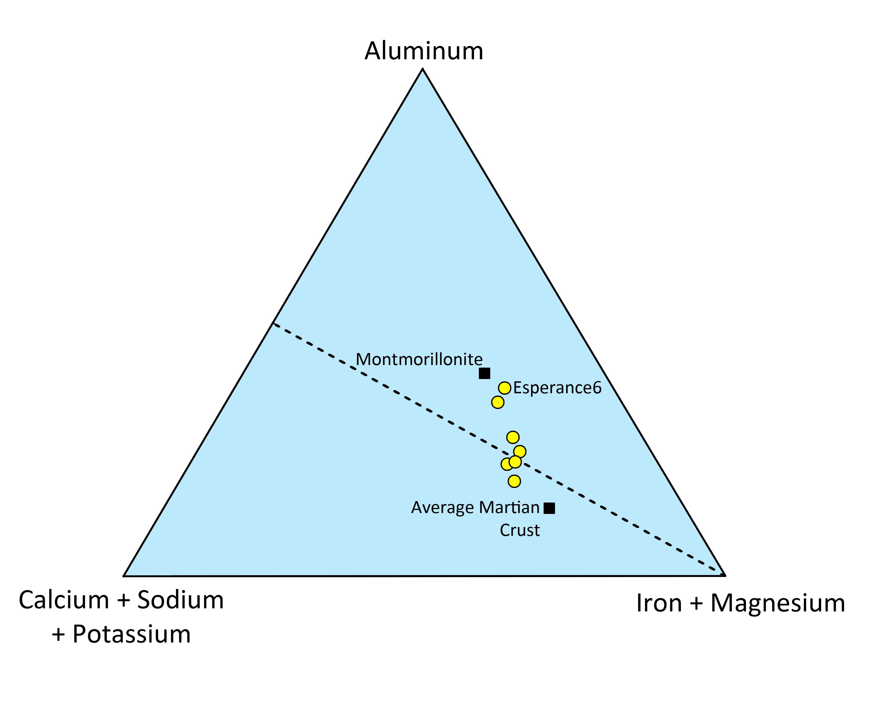
|
Your search criteria found 19636 images Target is Sun |
| My List |
Addition Date | Target | Mission |
Instrument
|
Size |

|
2012-08-17 | Mars |
Mars Science Laboratory (MSL) |
4061x4061x1 | |
|
|||||
|
|
2012-08-17 | Mars |
Mars Science Laboratory (MSL) |
2000x720x3 | |
|
|||||
|
|
2012-08-17 | Mars |
Mars Science Laboratory (MSL) |
1536x1028x3 | |
|
|||||
|
|
2012-08-17 | Mars |
Mars Science Laboratory (MSL) |
3294x1568x3 | |
|
|||||
|
|
2012-08-17 | Mars |
Mars Science Laboratory (MSL) |
10400x2415x3 | |
|
|||||
|
|
2012-08-17 | Mars |
Mars Science Laboratory (MSL) |
7703x1678x1 | |

|
|||||
|
|
2012-08-21 | Mars |
Mars Science Laboratory (MSL) |
1367x798x3 | |
|
|||||
|
|
2012-08-21 | Mars |
Mars Science Laboratory (MSL) |
1367x798x3 | |
|
|||||
|
|
2012-08-21 | Mars |
Mars Science Laboratory (MSL) |
1024x1024x1 | |
|
|||||
|
|
2012-08-22 | Mars |
Mars Science Laboratory (MSL) |
1732x1486x3 | |

|
|||||
|
|
2012-08-22 | Mars |
Mars Science Laboratory (MSL) |
7703x1997x1 | |

|
|||||
|
|
2012-08-22 | Mars |
Mars Science Laboratory (MSL) |
1600x1600x1 | |

|
|||||
|
|
2012-08-22 | Mars |
Mars Science Laboratory (MSL) |
1024x1024x1 | |
|
|||||
|
|
2012-08-22 | Mars |
Mars Science Laboratory (MSL) |
1024x1024x1 | |
|
|||||
|
|
2012-08-27 | Earth |
Mars Science Laboratory (MSL) |
2896x1944x3 | |
|
|||||
|
|
2012-08-27 | Mars |
Mars Science Laboratory (MSL) |
1024x1024x1 | |
|
|||||
|
|
2012-08-27 | Mars |
Mars Science Laboratory (MSL) |
1024x1024x1 | |
|
|||||
|
|
2012-08-27 | Mars |
Mars Science Laboratory (MSL) |
4024x1282x1 | |

|
|||||
|
|
2012-08-29 | Mars |
Mars Science Laboratory (MSL) |
1024x1024x1 | |
|
|||||
|
|
2012-08-29 | Mars |
Mars Science Laboratory (MSL) |
1024x1024x1 | |
|
|||||
|
|
2012-08-29 | Mars |
Mars Science Laboratory (MSL) |
1024x1024x1 | |
|
|||||
|
|
2012-09-04 | Mars |
Mars Science Laboratory (MSL) |
7824x3337x3 | |
|
|||||
|
|
2012-09-06 | Mars |
Mars Science Laboratory (MSL) |
1438x933x3 | |
|
|||||
|
|
2012-09-06 | Mars |
Mars Science Laboratory (MSL) |
1438x933x3 | |

|
|||||
|
|
2012-09-06 | Mars |
Mars Science Laboratory (MSL) |
1438x933x3 | |
|
|||||
|
|
2012-09-06 | Mars |
Mars Science Laboratory (MSL) |
1427x578x3 | |
|
|||||
|
|
2012-09-13 | Earth |
ADAPT |
3456x5184x3 | |
|
|||||
|
|
2012-09-27 | Earth | 965x720x3 | ||

|
|||||
|
|
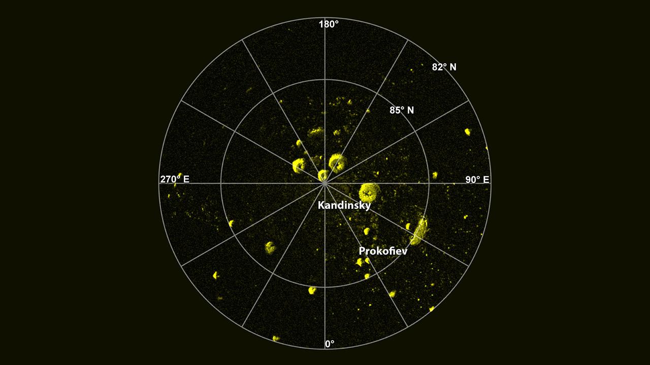
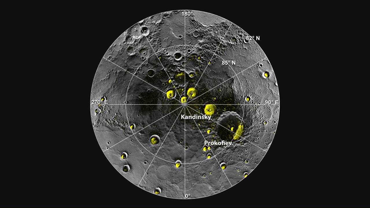
2012-11-12 | Mercury |
MESSENGER |
1236x948x1 | |
|
|||||
|
|
2012-11-15 | Mars |
Mars Science Laboratory (MSL) |
1286x994x3 | |
|
|||||
|
|
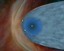
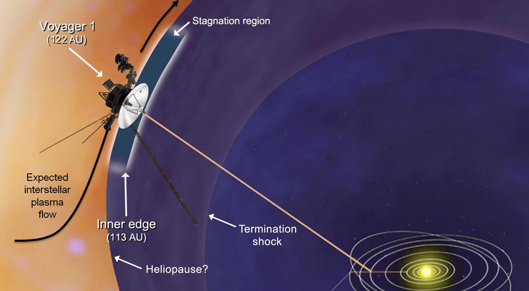
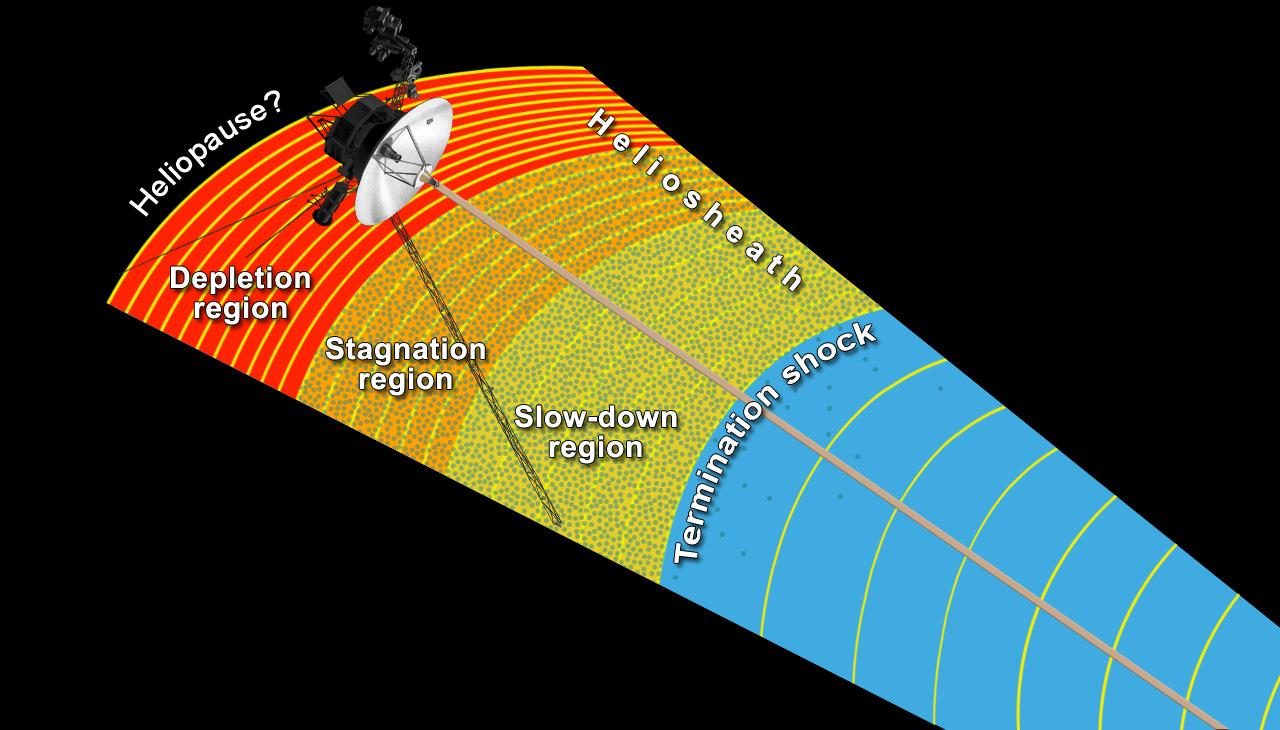
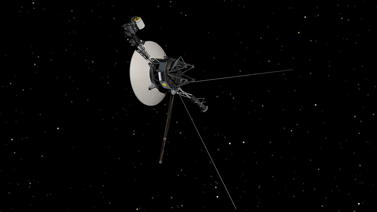
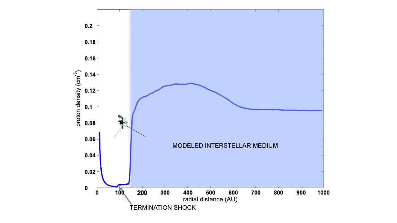
2012-12-03 | Sol (our sun) |
Voyager |
1772x975x3 | |
|
|||||
|
|
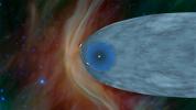
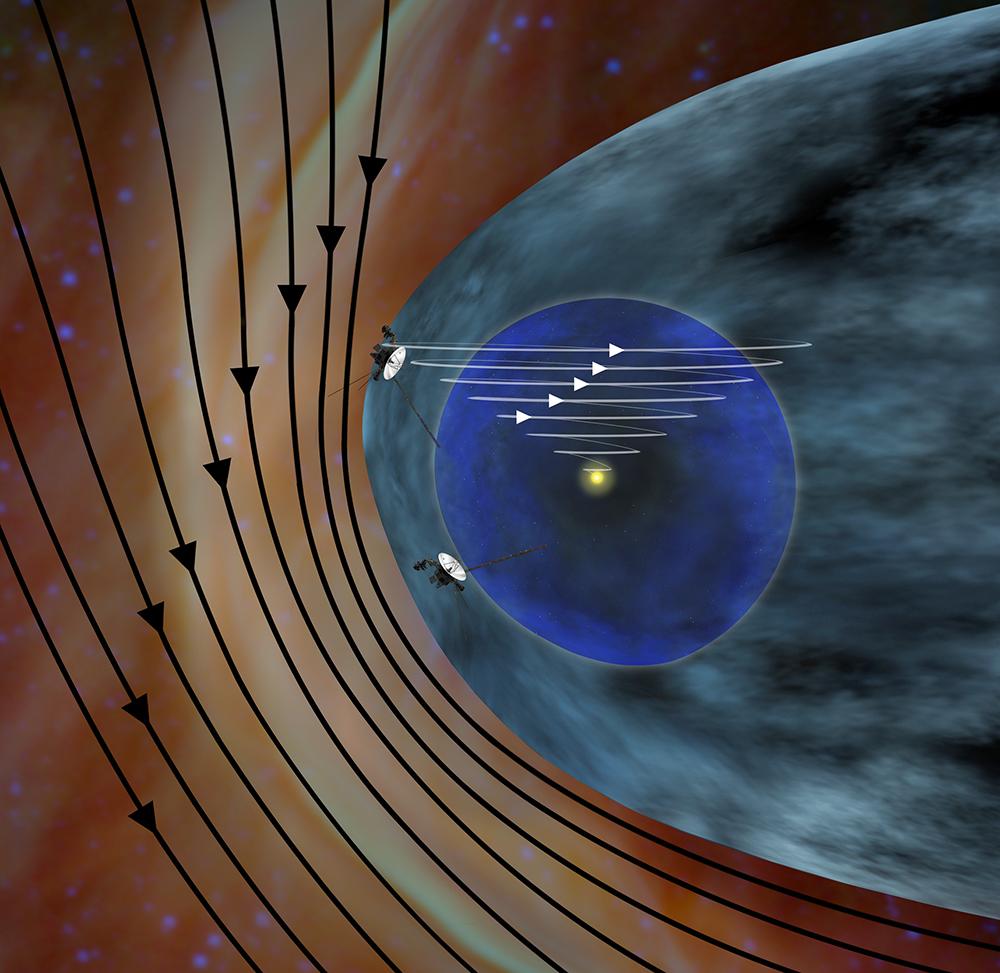
2012-12-03 | Sol (our sun) |
Voyager |
1000x973x3 | |
|
|||||
|
|
2012-12-03 | Sol (our sun) |
Voyager |
1280x720x3 | |
|
|||||
|
|
2012-12-03 | Mars |
Mars Science Laboratory (MSL) |
1809x1332x3 | |
|
|||||
|
|
2012-11-29 | Mercury |
MESSENGER |
1280x720x3 | |

|
|||||
|
|
2012-11-29 | Mercury |
MESSENGER |
1280x720x3 | |
|
|||||
|
|
2012-11-29 | Mercury |
MESSENGER |
1280x720x1 | |

|
|||||
|
|
2012-11-29 | Mercury |
MESSENGER |
1980x5464x3 | |
|
|
|||||
|
|
2012-11-30 | Mercury |
MESSENGER |
1975x4463x3 | |
|
|
|||||
|
|
2012-12-21 | Mercury |
MESSENGER |
1138x900x3 | |

|
|||||
|
|
2013-02-12 | Sol (our sun) |
Voyager |
1280x730x3 | |
|
|||||
|
|
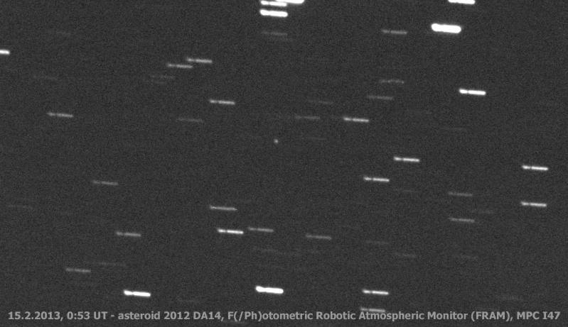
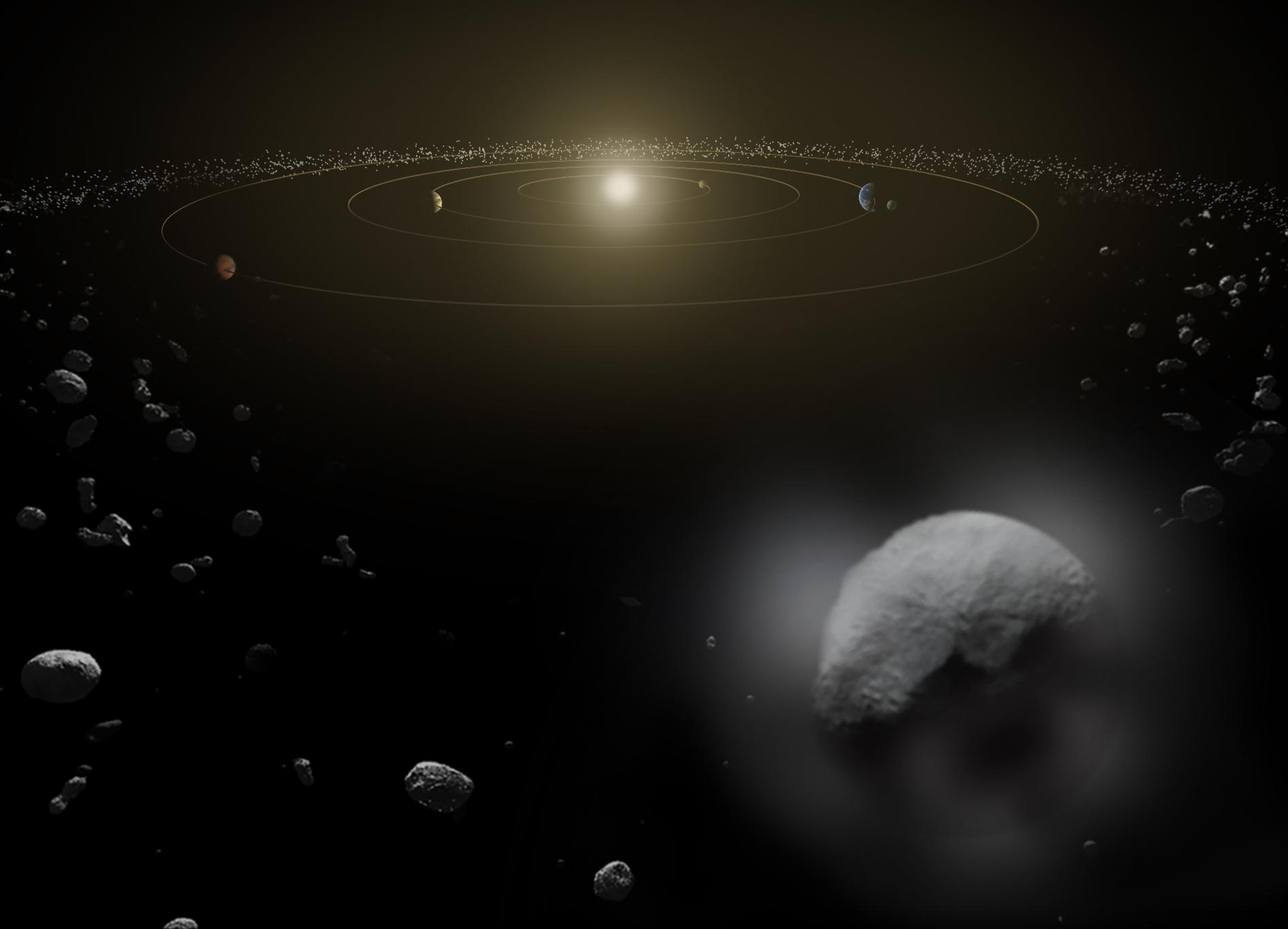
2013-02-15 | Asteroid |
Samford Valley Observatory |
799x461x1 | |

|
|||||
|
|
2013-02-15 | Asteroid |
Siding Spring Observatory |
383x710x1 | |
|
|||||
|
|
2013-02-15 | Asteroid |
Gingin Observatory |
1283x723x3 | |
|
|||||
|
|
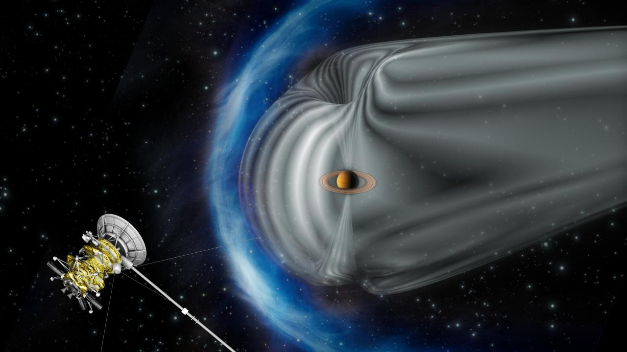
2013-02-19 | Saturn |
Cassini-Huygens |
1280x720x3 | |
|
|||||
|
|
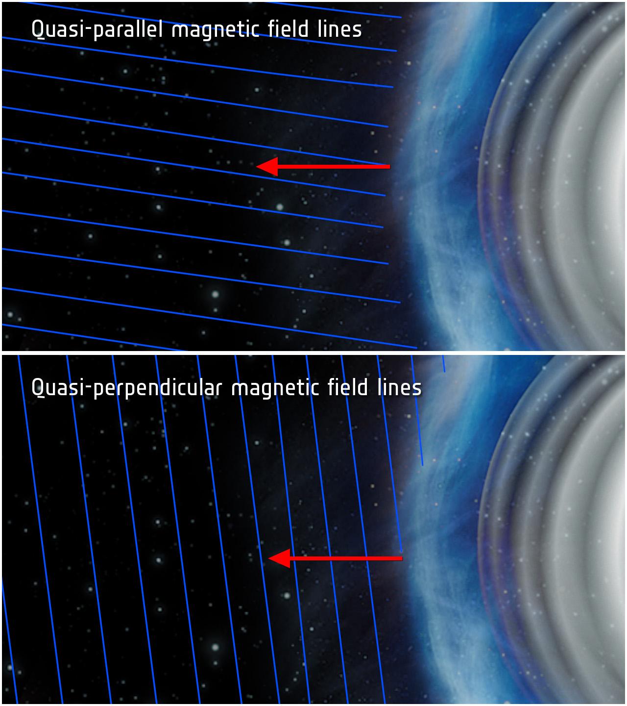
2013-02-19 | Saturn |
Cassini-Huygens |
1280x1440x3 | |
|
|||||
|
|
2013-02-20 | Mars |
Mars Science Laboratory (MSL) |
3042x1648x3 | |

|
|||||
|
|
2013-02-20 | Mars |
Mars Science Laboratory (MSL) |
1278x718x3 | |
|
|||||
|
|
2013-03-20 | Mars | 726x400x3 | ||
|
|||||
|
|
2013-03-20 | Mercury |
MESSENGER |
1024x509x3 | |
|
|||||
|
|
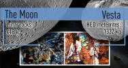
2013-03-25 | Vesta |
Dawn Lunar Reconnaissance Orbiter (LRO) |
1824x970x3 | |
|
|||||
|
|
2013-04-10 | Saturn |
Cassini-Huygens |
4465x4115x3 | |
|
|||||
|
|
2013-02-16 | Earth | 3029x1080x3 | ||
|
|||||
|
|
2013-02-16 | Earth | 1920x1280x3 | ||
|
|||||
|
|
2013-04-25 | Saturn |
Cassini-Huygens |
1904x996x1 | |
|
|||||
|
|
2013-04-25 | Saturn |
Cassini-Huygens |
1904x996x1 | |
|
|||||
|
|
2013-05-23 | Earth |
Jason-3 |
8192x8192x3 | |
|
|||||
|
|
2013-05-23 | Earth |
Jason-3 |
8192x8192x3 | |
|
|||||
|
|
2013-05-23 | Earth |
Jason-3 |
8192x8192x3 | |
|
|||||
|
|
2013-06-07 | Mars |
Mars Exploration Rover (MER) |
3082x2500x3 | |
|
|||||
|
|
2013-06-13 | Earth | 3264x2448x3 | ||
|
|||||
|
|
2013-06-13 | Earth | 3264x2448x3 | ||

|
|||||
|
|
2013-06-13 | Earth | 1984x1488x3 | ||
|
|||||
|
|
2013-06-27 | Sol (our sun) |
Voyager |
1385x1103x3 | |
|
|||||
|
|
2013-06-27 | Sol (our sun) |
Voyager |
1280x730x3 | |

|
|||||
|
|
2013-08-02 | Asteroid | 3254x2613x3 | ||
|
|||||
|
|
2013-09-12 | Sol (our sun) |
Voyager |
5432x3025x3 | |
|
|||||
|
|
2013-09-12 | Sol (our sun) |
Voyager |
1280x720x3 | |
|
|||||
|
|
2013-09-12 | Sol (our sun) |
Voyager |
1280x720x3 | |
|
|||||
|
|
2013-09-12 | Sol (our sun) |
Voyager |
1280x720x3 | |
|
|||||
|
|
2013-09-12 | Sol (our sun) |
Voyager |
1280x720x3 | |
|
|||||
|
|
2013-09-12 | Sol (our sun) |
Voyager |
1280x720x3 | |
|
|||||
|
|
2013-09-12 | Sol (our sun) |
Voyager |
8192x4610x3 | |
|
|||||
|
|
2013-09-12 | Sol (our sun) |
Voyager |
1280x720x3 | |
|
|||||
|
|
2013-06-27 | Earth |
Seasat |
999x654x3 | |
|
|||||
|
|
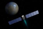
2013-11-04 | Mercury |
MESSENGER |
3989x2784x3 | |
|
|||||
|
|
2013-11-12 | Saturn |
Cassini-Huygens |
6000x2333x3 | |

|
|||||
|
|
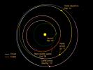
2013-12-03 | Ceres |
Dawn |
3600x3600x3 | |
|
|||||
|
|
2013-12-03 | Ceres |
Dawn |
4096x2731x3 | |
|
|||||
|
|
2013-12-03 | Ceres |
Dawn |
800x600x3 | |
|
|||||
|
|
2013-12-09 | Mars |
Mars Science Laboratory (MSL) |
960x720x3 | |
|
|||||
|
|
2013-12-09 | Mars |
Mars Science Laboratory (MSL) |
960x720x3 | |

|
|||||
|
|
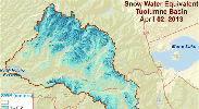
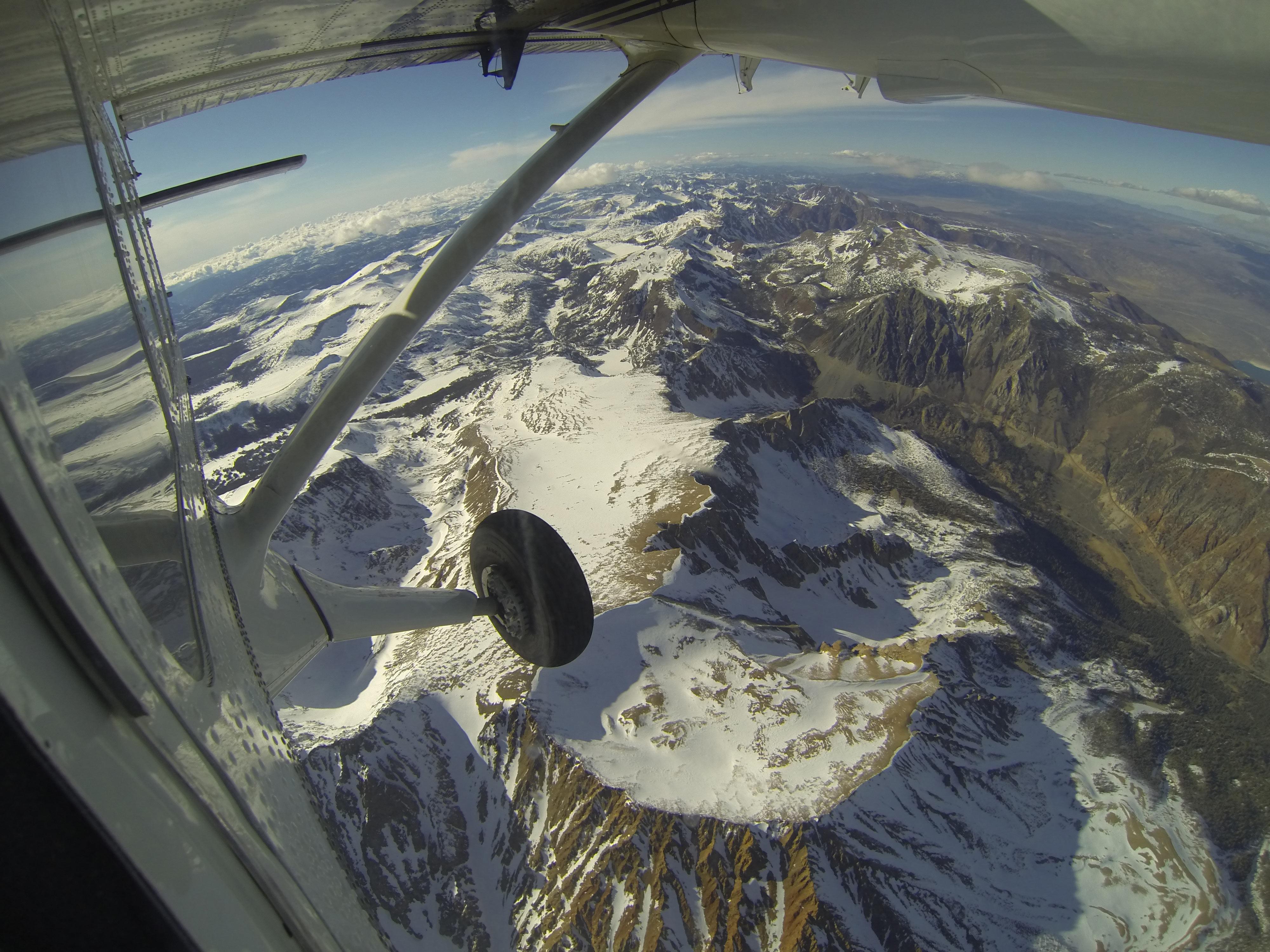
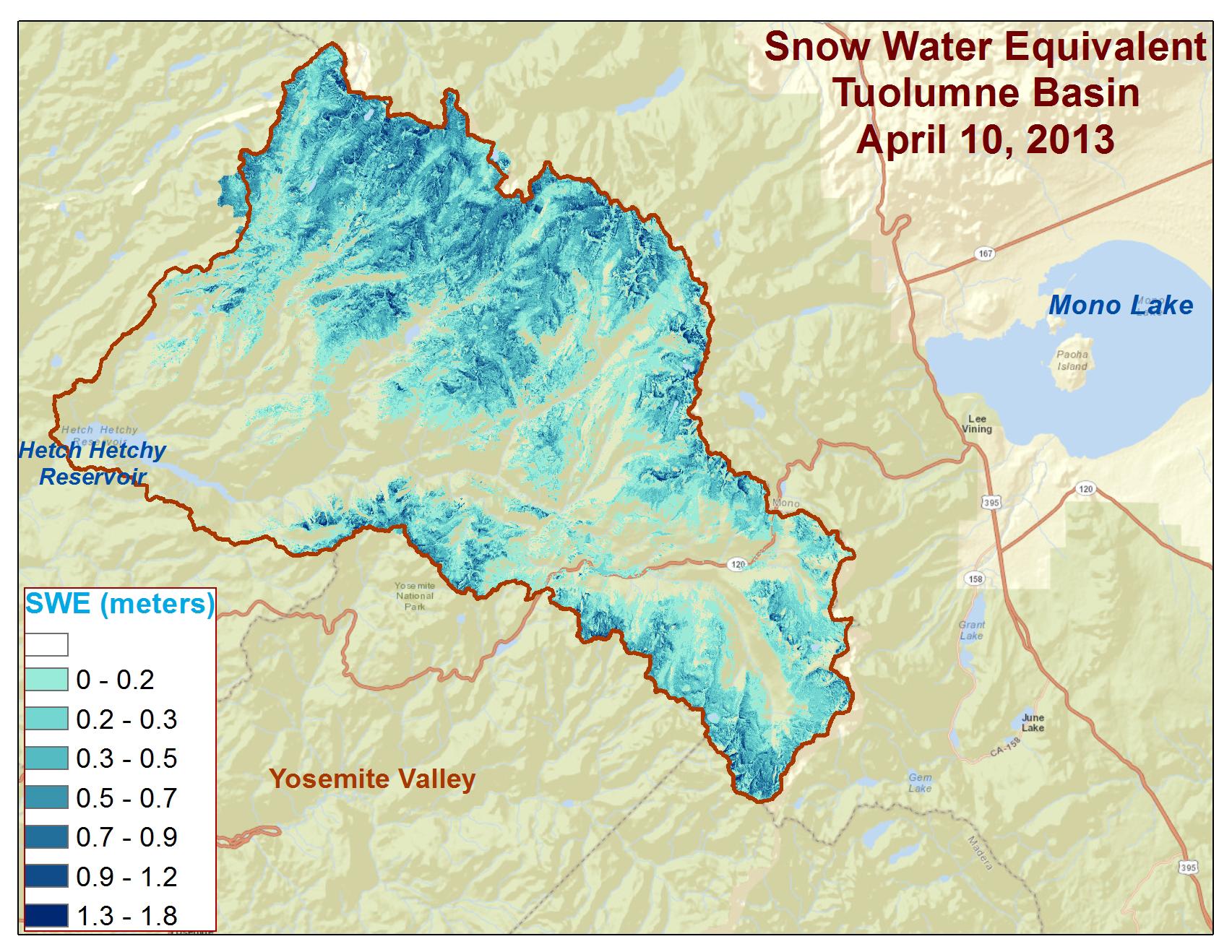
2013-05-02 | Earth |
Airborne Snow Observatory |
4000x3000x3 | |
|
|||||
|
|
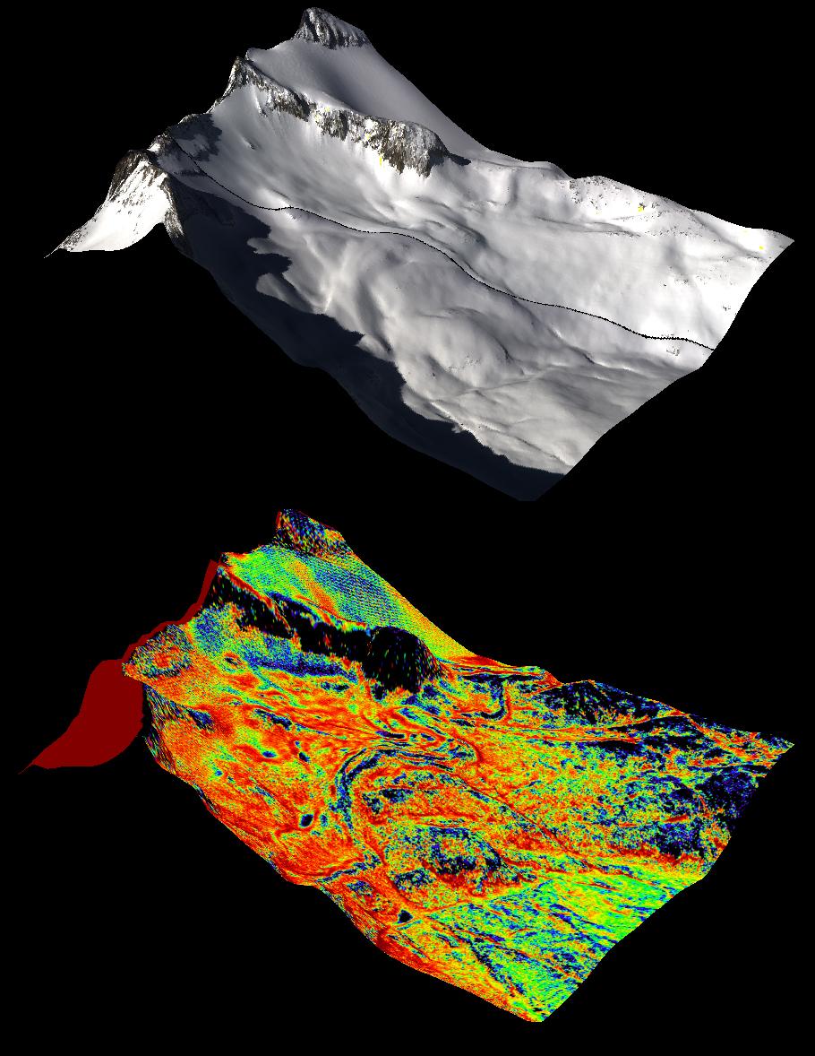
2013-05-02 | Earth |
Airborne Snow Observatory |
910x1178x3 | |
|
|||||
|
|
2013-05-02 | Earth |
Airborne Snow Observatory |
1648x2546x3 | |
|
|||||
|
|
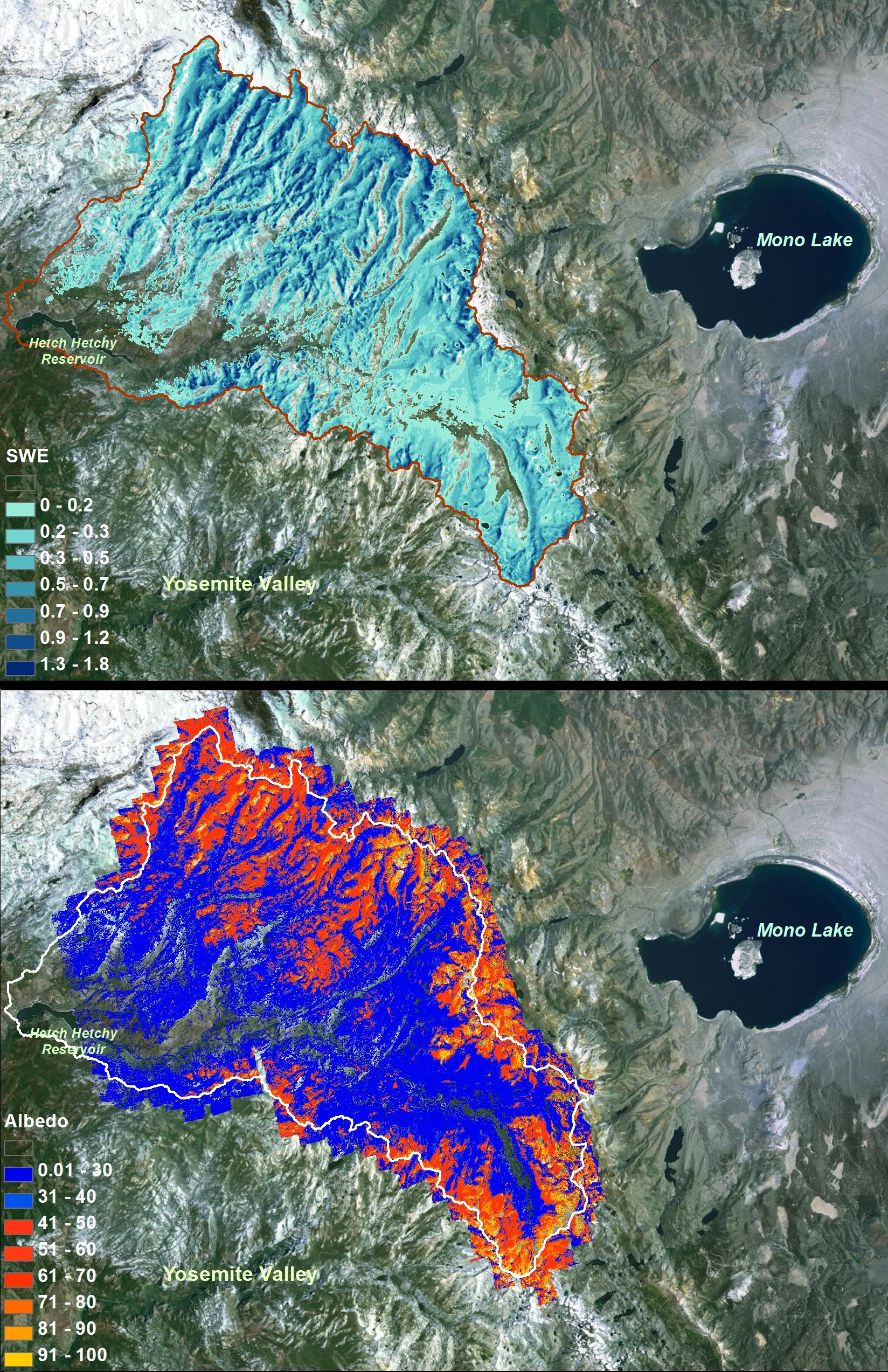
2013-12-09 | Earth |
Airborne Snow Observatory |
639x361x3 | |
|
|||||
|
|
2013-12-09 | Earth |
Airborne Snow Observatory |
1705x1318x3 | |
|
|||||
|
|
2014-01-22 | Ceres |
Herschel Space Observatory |
1894x1367x3 | |
|
|||||
|
|
2014-01-22 | Ceres |
Herschel Space Observatory |
647x612x3 | |
|
|||||
|
|
2014-01-23 | Mars |
Mars Exploration Rover (MER) |
1280x720x3 | |
|
|||||
|
|
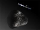
2014-01-24 | Comet |
Rosetta |
1986x1174x3 | |
|
|||||
|
|
2014-01-24 | Comet |
Rosetta |
1203x902x3 | |
|
|||||
|
|
2014-01-28 | Earth |
UAVSAR |
5184x3456x3 | |
|
|||||
|
|
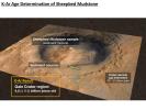
2014-02-12 | Mars |
Viking |
669x650x1 | |
|
|||||
|
|
2014-02-19 | Mars |
Mars Science Laboratory (MSL) |
3300x2550x3 | |

|
|||||
|
|
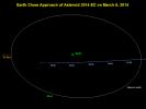
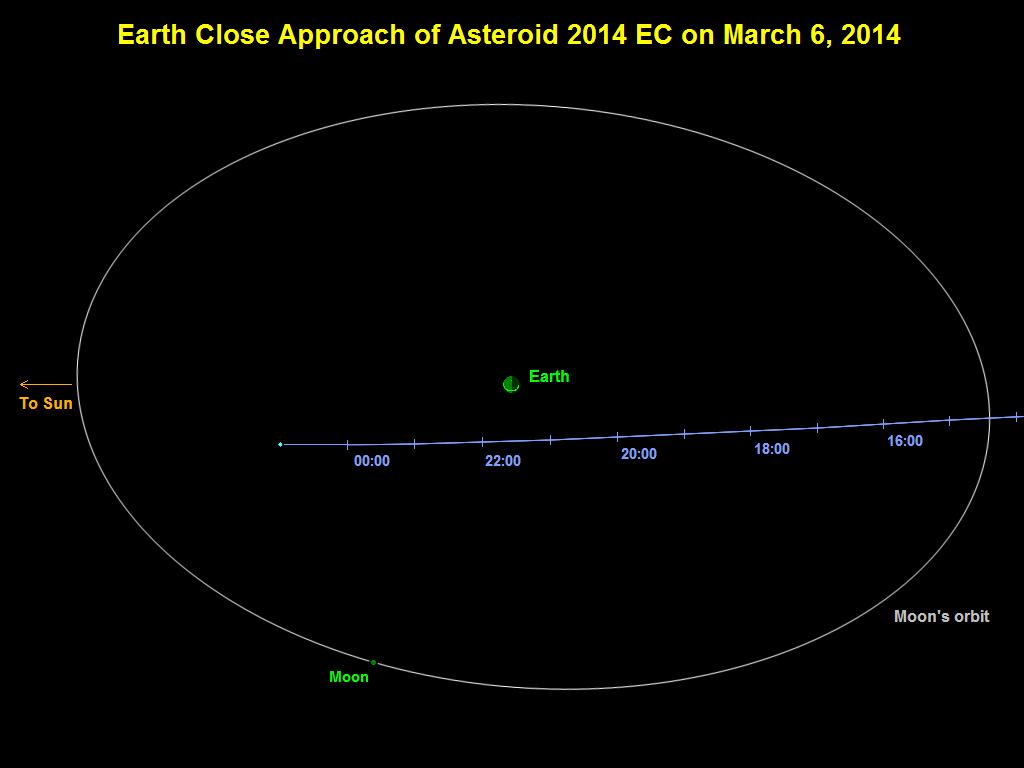
2014-03-06 | Asteroid | 1024x768x3 | ||
|
|||||
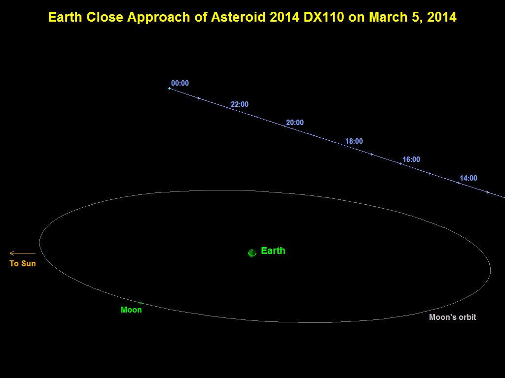
|
|
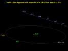
2014-03-05 | Asteroid | 1024x768x3 | ||
|
|||||
|
|
2014-03-19 | Mercury |
MESSENGER |
1100x703x3 | |
|
|||||
|
|
2001-06-26 | Mars |
Hubble Space Telescope |
500x500x3 | |
|
|||||
|
|
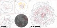
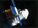
1996-01-02 | Eros |
NEAR |
4396x3335x3 | |
|
|||||

|
 |
|
|
|
|
 |
 |
|
|
|

|
| 1-100 | 101-200 | 201-300 | 301-400 | 401-500 | 501-600 | 601-700 | 701-800 | 801-900 | 901-1000 |
| Currently displaying images: 501 - 600 of 19636 |