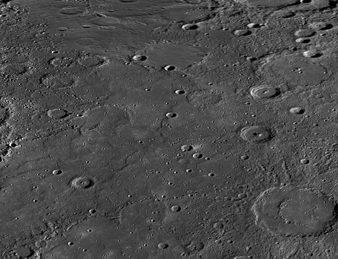
On the Moon, areas of smooth plains are called "maria," plural of the Latin word "mare," for "sea." For example, Mare Imbrium is the Sea of Rains. After Mariner 10 obtained the first spacecraft images of Mercury in the mid-1970s, seven areas of smooth plains were given names. However, they were named "planitia," not "maria." Today's release is a mosaic of MESSENGER images centered on Suisei Planitia. Suisei is the Japanese word for the planet Mercury.
This mosaic was acquired as part of MDIS's high-resolution stereo base map. The stereo base map is used in combination with the surface morphology base map to create high-resolution stereo views of Mercury's surface, with an average resolution of 250 meters/pixel (0.16 miles/pixel or 820 feet/pixel) or better. During MESSENGER's one-year primary mission, the surface morphology base map was acquired during the first 176 days, and the second 176 days were used to acquire the complementary stereo base map.
Instrument: MDIS
Center Latitude: 62°
Center Longitude: 212° E
Map Projection: Equidistant Cylindrical
Scale: The double-ring basin in the lower right is Strindberg, about 189 kilometers (117 miles) in diameter.
The MESSENGER spacecraft is the first ever to orbit the planet Mercury, and the spacecraft's seven scientific instruments and radio science investigation are unraveling the history and evolution of the Solar System's innermost planet. Visit the Why Mercury? section of this website to learn more about the key science questions that the MESSENGER mission is addressing. During the one-year primary mission, MDIS acquired 88,746 images and extensive other data sets. MESSENGER is now in a year-long extended mission, during which plans call for the acquisition of more than 80,000 additional images to support MESSENGER's science goals.
These images are from MESSENGER, a NASA Discovery mission to conduct the first orbital study of the innermost planet, Mercury. For information regarding the use of images, see the MESSENGER image use policy.
 Planetary Data System


