Click on an image for detailed information
Click on a column heading to sort in ascending or descending order

My
List |
Addition Date
|
Target
|
Mission
|
Instrument
|
Size
|

|
2007-02-16 |
Titan
|
Cassini-Huygens
|
Radar Mapper
|
640x478x1 |

|
-
PIA09177:
-
Titan Lakes Movie

Full Resolution:
TIFF
(306.5 kB)
JPEG
(9.205 kB)
|
|
|
2007-02-16 |
Titan
|
Cassini-Huygens
|
Radar Mapper
|
1500x1008x1 |
|
-
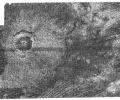
PIA09176:
-
Ganesa Macula
Full Resolution:
TIFF
(1.514 MB)
JPEG
(487.3 kB)
|
|
|
2007-02-16 |
Titan
|
Cassini-Huygens
|
Radar Mapper
|
725x416x1 |
|
-
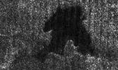
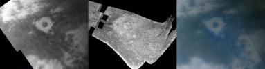
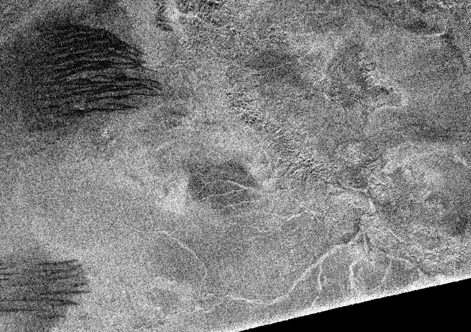
PIA09175:
-
A New Crater on Titan?
Full Resolution:
TIFF
(302.1 kB)
JPEG
(134.5 kB)
|
|
|
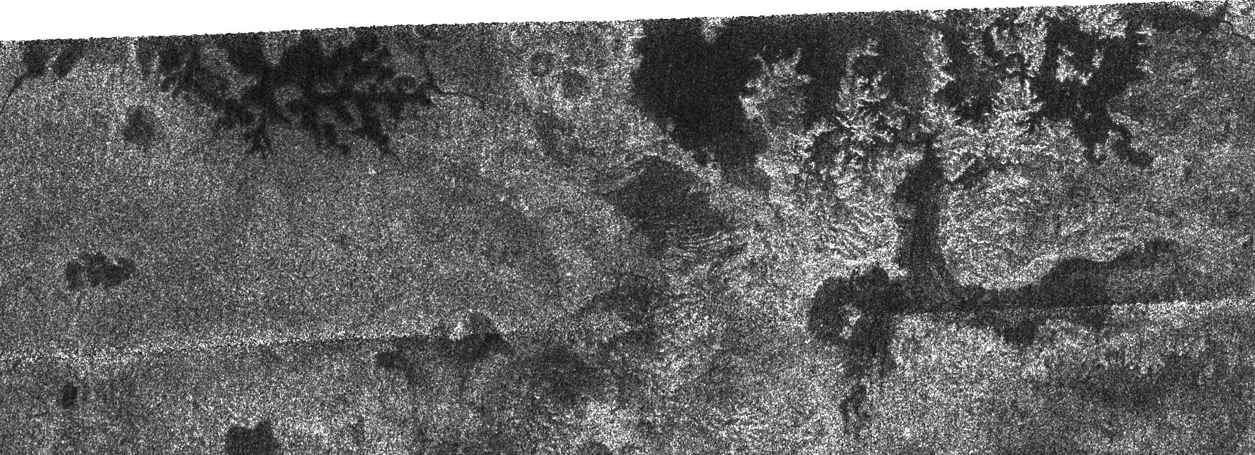
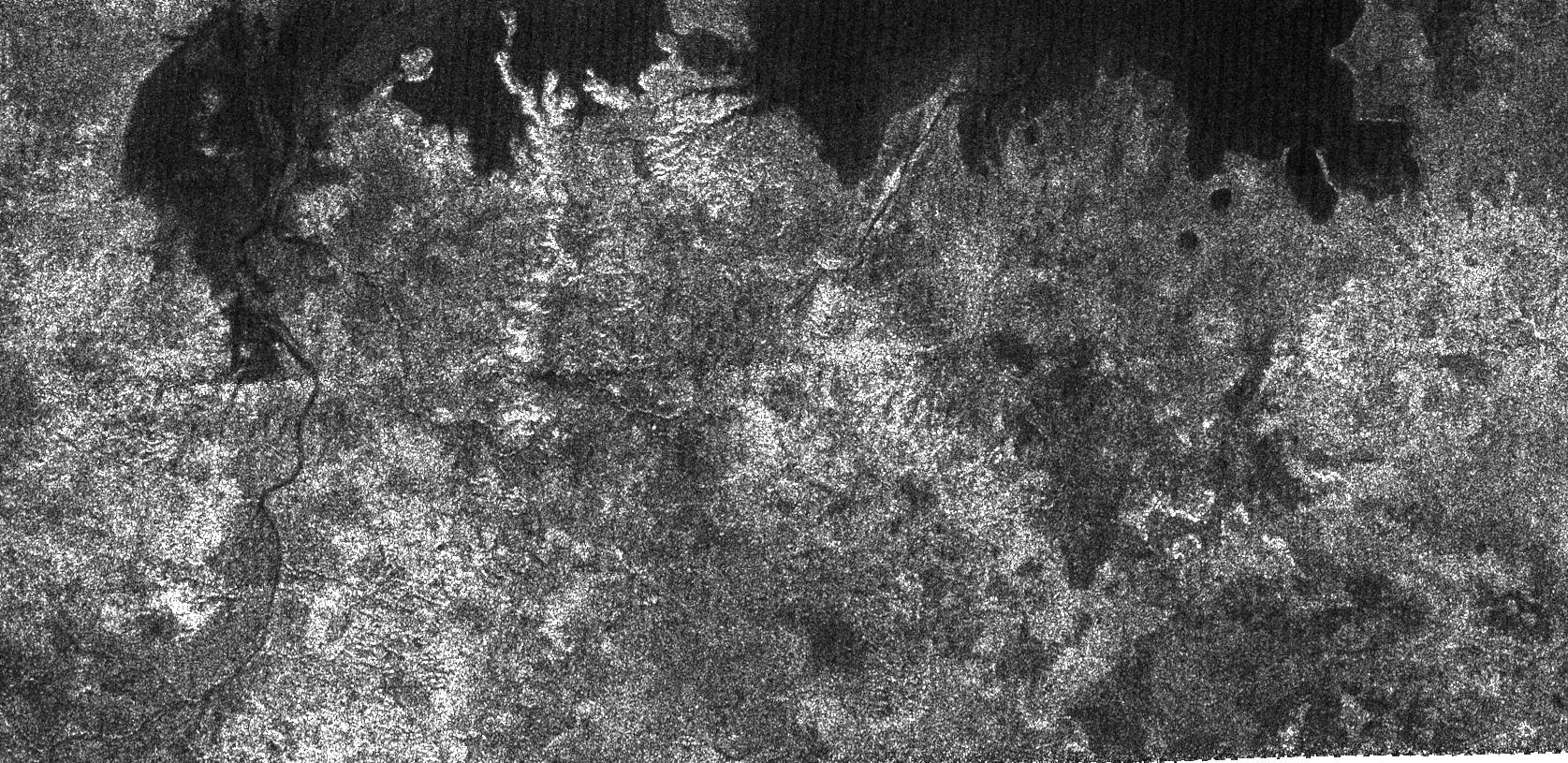
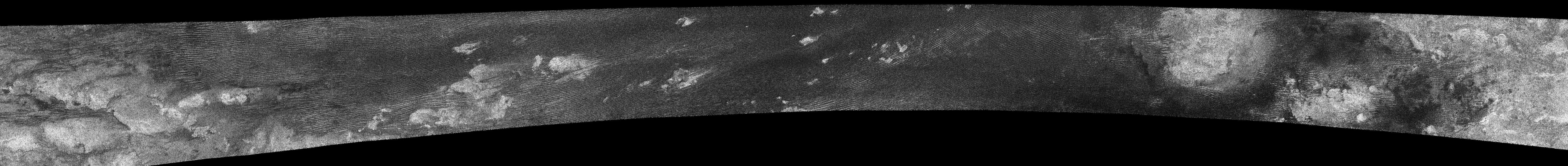
2007-02-07 |
Titan
|
Cassini-Huygens
|
Radar Mapper
|
9000x1176x1 |

|
-
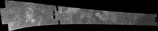
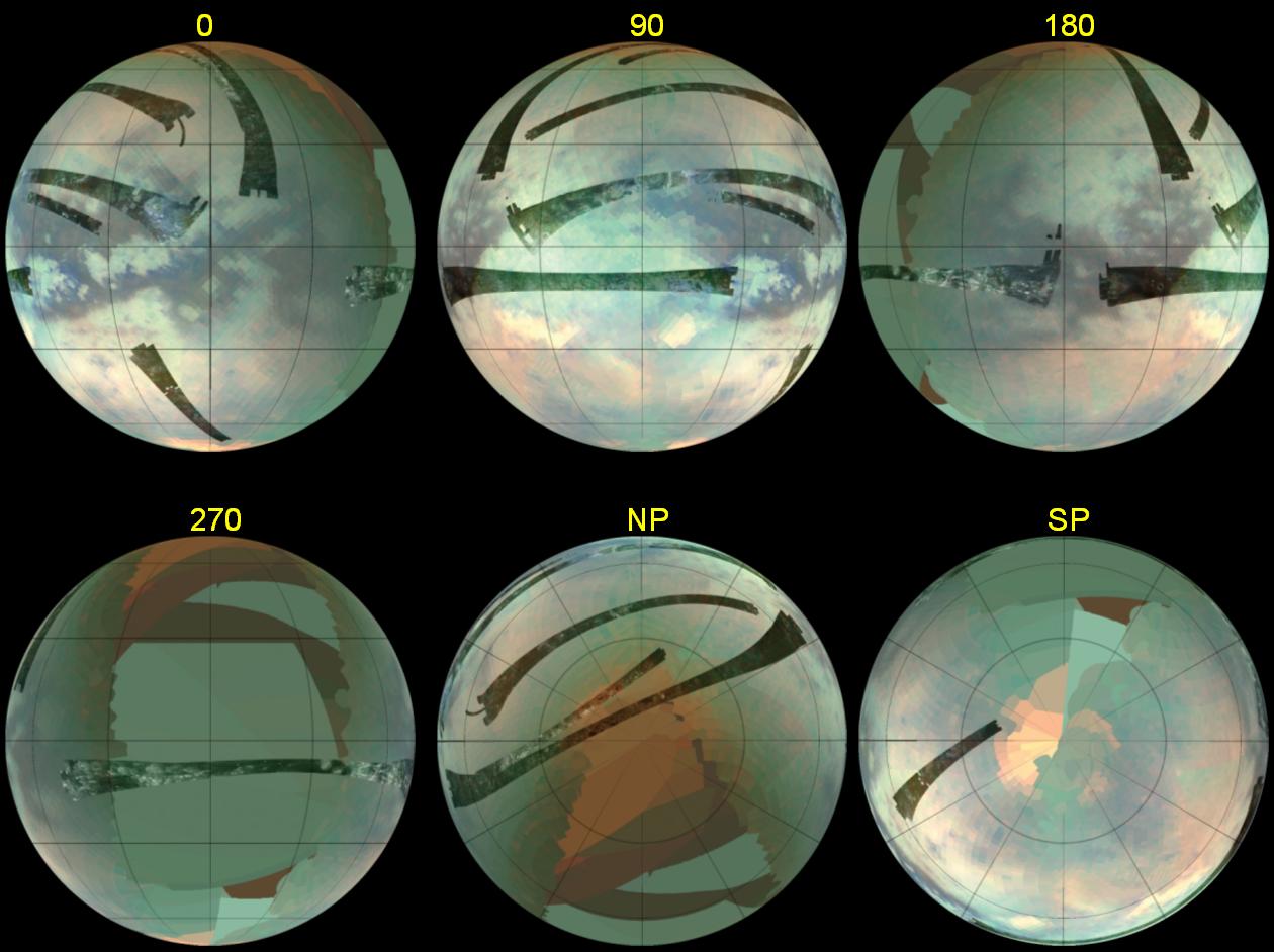
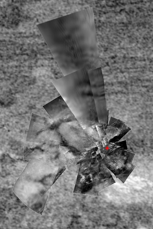
PIA09172:
Titan (T17) Viewed by Cassini's Radar - Sept. 7, 2006
Full Resolution:
TIFF
(10.58 MB)
JPEG
(2.876 MB)
|
|
|
2007-01-24 |
Titan
|
Cassini-Huygens
|
Radar Mapper
|
569x502x1 |
|
-
PIA09115:
-
Titan Dunes over Possible Craters (T23)
Full Resolution:
TIFF
(286.2 kB)
JPEG
(75.78 kB)
|
|
|
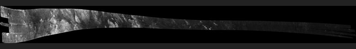
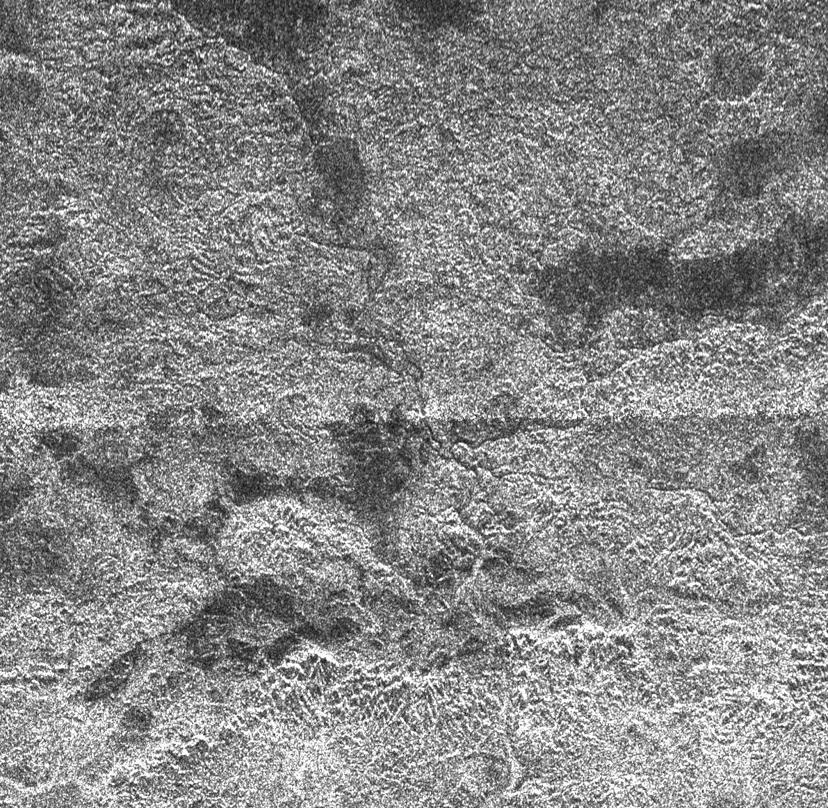
2007-01-13 |
Titan
|
Cassini-Huygens
|
Radar Mapper
|
19200x1920x1 |
|
-
PIA00928:
Titan Radar Swath (T-23 Flyby - Jan. 13, 2007)
Full Resolution:
TIFF
(17.2 MB)
JPEG
(4.487 MB)
|
|
|
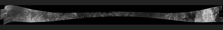
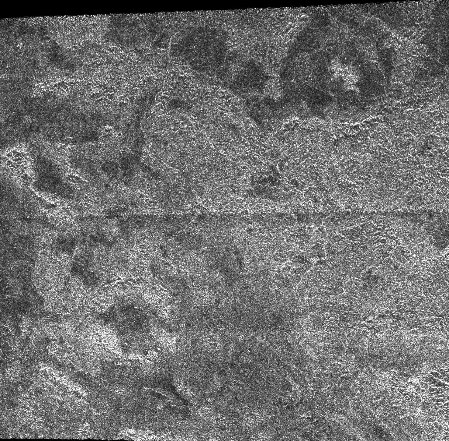
2007-01-11 |
Titan
|
Cassini-Huygens
|
Radar Mapper
|
18991x1920x1 |

|
-
PIA09112:
Titan (T16) Viewed by Cassini's Radar - July 22, 2006
Full Resolution:
TIFF
(36.46 MB)
JPEG
(5.132 MB)
|
|
|
2007-01-11 |
Titan
|
Cassini-Huygens
|
Radar Mapper
|
1542x562x1 |

|
-
PIA09111:
-
Two Sides of Dunes
Full Resolution:
TIFF
(867.7 kB)
JPEG
(289.7 kB)
|
|
|
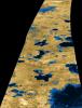
2007-01-03 |
Titan
|
Cassini-Huygens
|
Radar Mapper
|
2600x3400x3 |
|
-
PIA09102:
-
Liquid Lakes on Titan
Full Resolution:
TIFF
(26.55 MB)
JPEG
(1.177 MB)
|
|
|
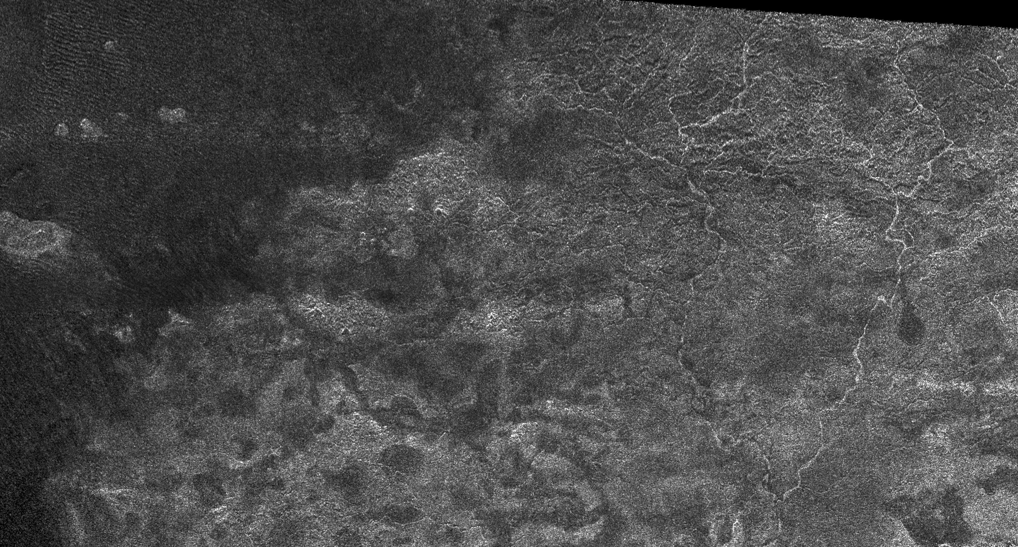
2006-12-12 |
Titan
|
Cassini-Huygens
|
Radar Mapper
|
15971x1676x1 |
|
-
PIA04308:
Titan Radar Swath (T-21 Flyby - Dec. 12, 2006)
Full Resolution:
TIFF
(12.45 MB)
JPEG
(3.269 MB)
|
|
|
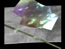
2006-12-12 |
Titan
|
Cassini-Huygens
|
Radar Mapper
Visual and Infrared Mapping Spectrometer
|
1600x1200x3 |
|
-
PIA09036:
-
Infrared and Radar Views of Titan #2
Full Resolution:
TIFF
(5.77 MB)
JPEG
(247 kB)
|
|
|
2006-12-12 |
Titan
|
Cassini-Huygens
|
Radar Mapper
Visual and Infrared Mapping Spectrometer
|
1260x942x3 |

|
-
PIA09035:
-
Infrared and Radar Views of Titan
Full Resolution:
TIFF
(3.565 MB)
JPEG
(111.3 kB)
|
|
|
2006-10-12 |
Titan
|
Cassini-Huygens
|
Radar Mapper
|
1790x649x1 |

|
-
PIA01943:
-
Lakes and More Lakes
Full Resolution:
TIFF
(1.163 MB)
JPEG
(419.7 kB)
|
|
|
2006-10-12 |
Titan
|
Cassini-Huygens
|
Radar Mapper
|
1675x815x1 |

|
-
PIA01942:
-
Titan's Great Lakes?
Full Resolution:
TIFF
(1.367 MB)
JPEG
(514.8 kB)
|
|
|
2006-10-09 |
Titan
|
Cassini-Huygens
|
Radar Mapper
|
19620x1774x1 |
|
-
PIA03187:
Titan Radar Swath (T-19 Flyby - Oct. 9, 2006)
Full Resolution:
TIFF
(19.03 MB)
JPEG
(5.221 MB)
|
|
|
2006-09-26 |
Titan
|
Cassini-Huygens
|
Radar Mapper
|
460x276x1 |
|
-
PIA08741:
-
Shorefront Property, Anyone?
Full Resolution:
TIFF
(127.3 kB)
JPEG
(41.61 kB)
|
|
|
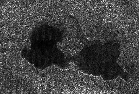
2006-09-26 |
Titan
|
Cassini-Huygens
|
Radar Mapper
|
484x326x1 |
|
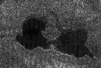
-
PIA08740:
-
Titan's "Kissing Lakes"
Full Resolution:
TIFF
(158.2 kB)
JPEG
(52.3 kB)
|
|
|
2006-09-12 |
Titan
|
Cassini-Huygens
|
Radar Mapper
|
1864x1024x1 |
|
-
PIA08738:
-
Swimming in Dunes
Full Resolution:
TIFF
(1.911 MB)
JPEG
(623.9 kB)
|
|
|
2006-09-12 |
Titan
|
Cassini-Huygens
|
Radar Mapper
|
1068x888x1 |
|
-
PIA08737:
-
Crater Studies on Titan
Full Resolution:
TIFF
(949.6 kB)
JPEG
(424.8 kB)
|
|
|
2006-07-24 |
Titan
|
Cassini-Huygens
|
Radar Mapper
|
2540x1800x1 |
|
-
PIA08630:
-
Lakes on Titan
Full Resolution:
TIFF
(4.577 MB)
JPEG
(1.333 MB)
|
|
|
2006-07-19 |
Titan
|
Cassini-Huygens
|
Radar Mapper
|
320x240x3 |
|
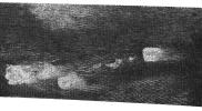
-
PIA08605:
-
Titan's Geological Goldmine - Radar Movie
Full Resolution:
TIFF
(223.5 kB)
JPEG
(4.451 kB)
|
|
|
2006-07-19 |
Titan
|
Cassini-Huygens
|
Radar Mapper
|
845x574x1 |
|
-
PIA08604:
-
Xanadu's Meandering Rivers
Full Resolution:
TIFF
(485.8 kB)
JPEG
(129.1 kB)
|
|
|
2006-07-19 |
Titan
|
Cassini-Huygens
|
Radar Mapper
|
20833x2890x1 |

|
-
PIA08552:
Titan (T13) Viewed by Cassini's Radar - April 30, 2006
Full Resolution:
TIFF
(60.21 MB)
JPEG
(5.791 MB)
|
|
|
2006-05-12 |
Titan
|
Cassini-Huygens
|
Radar Mapper
|
7218x766x1 |
|
-
PIA08454:
Dunes and more Dunes
Full Resolution:
TIFF
(5.535 MB)
JPEG
(1.68 MB)
|
|
|
2006-05-09 |
Titan
|
Cassini-Huygens
|
Radar Mapper
|
1191x1163x1 |
|
-
PIA08449:
-
Complex Terrain
Full Resolution:
TIFF
(1.387 MB)
JPEG
(518 kB)
|
|
|
2006-05-09 |
Titan
|
Cassini-Huygens
|
Radar Mapper
|
2098x851x1 |
|
-
PIA08448:
-
Titan's Land-o-Lakes
Full Resolution:
TIFF
(1.788 MB)
JPEG
(614.8 kB)
|
|
|
2006-05-05 |
Titan
|
Cassini-Huygens
|
Radar Mapper
|
1051x972x3 |
|
-
PIA08430:
-
Radar Flyby of Titan - April 30, 2006
Full Resolution:
TIFF
(3.069 MB)
JPEG
(85.88 kB)
|
|
|
2006-05-05 |
Titan
|
Cassini-Huygens
|
Radar Mapper
|
1477x1448x1 |
|
-
PIA08429:
-
Impact Craters on Xanadu
Full Resolution:
TIFF
(2.141 MB)
JPEG
(786.5 kB)
|
|
|
2006-05-05 |
Titan
|
Cassini-Huygens
|
Radar Mapper
|
3289x1767x1 |
|
-
PIA08428:
-
Xanadu: Rivers Flowed onto a Sunless Sea
Full Resolution:
TIFF
(5.819 MB)
JPEG
(1.394 MB)
|
|
|
2006-05-03 |
Titan
|
Cassini-Huygens
|
Radar Mapper
|
850x1107x1 |
|
-
PIA08426:
-
Radar Images Shikoku - "Great Britain"
Full Resolution:
TIFF
(942.2 kB)
JPEG
(331.6 kB)
|
|
|
2006-05-03 |
Titan
|
Cassini-Huygens
|
Radar Mapper
|
2070x1244x1 |
|
-
PIA08425:
-
Radar Images the Margin of Xanadu
Full Resolution:
TIFF
(2.579 MB)
JPEG
(571.4 kB)
|
|
|
2006-05-03 |
Titan
|
Cassini-Huygens
|
Imaging Science Subsystem
Radar Mapper
|
800x422x1 |

|
-
PIA07785:
-
Comparing Notes on Titan -- Radar & Imaging Science Subsystem
Full Resolution:
TIFF
(338.2 kB)
JPEG
(20.4 kB)
|
|
|
2006-04-27 |
Titan
|
Cassini-Huygens
|
Radar Mapper
|
6777x3390x3 |
|
-
PIA08100:
-
Titan (T13) Viewed by Cassini's Radar - Flat Map
Full Resolution:
TIFF
(68.92 MB)
JPEG
(996.8 kB)
|
|
|
2006-04-27 |
Titan
|
Cassini-Huygens
|
Radar Mapper
|
1051x972x3 |
|
-
PIA08099:
-
Titan (T13) Viewed by Cassini's Radar
Full Resolution:
TIFF
(3.069 MB)
JPEG
(81.07 kB)
|
|
|
2005-11-30 |
Titan
|
Cassini-Huygens
|
Descent Imager/Spectral Radiometer
Radar Mapper
|
488x732x3 |
|
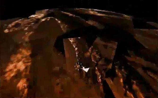
-
PIA06437:
-
Huygens Landing Site
Full Resolution:
TIFF
(1.073 MB)
JPEG
(49.99 kB)
|
|
|
2005-11-30 |
Titan
|
Cassini-Huygens
|
Imaging Science Subsystem
Radar Mapper
Visual and Infrared Mapping Spectrometer
|
668x415x3 |
|
-
PIA06435:
-
Huygens Landing Site (Animation)
Full Resolution:
TIFF
(832.7 kB)
JPEG
(26.32 kB)
|
|
|
2005-11-16 |
Titan
|
Cassini-Huygens
|
Radar Mapper
|
2538x1900x3 |

|
-
PIA03571:
-
Titan Viewed by Cassini's Radar
Full Resolution:
TIFF
(14.48 MB)
JPEG
(225.8 kB)
|
|
|
2005-11-16 |
Titan
|
Cassini-Huygens
|
Radar Mapper
|
1051x972x3 |

|
-
PIA03570:
-
Radar Swath of Oct. 28, 2005, Titan Flyby
Full Resolution:
TIFF
(3.069 MB)
JPEG
(65.05 kB)
|
|
|
2005-11-01 |
Titan
|
Cassini-Huygens
|
Radar Mapper
Visual and Infrared Mapping Spectrometer
|
6144x3072x3 |

|
-
PIA03569:
-
Pinpointing Huygens Landing Site
Full Resolution:
TIFF
(56.62 MB)
JPEG
(1.875 MB)
|
|
|
2005-11-01 |
Titan
|
Cassini-Huygens
|
Radar Mapper
|
829x598x1 |
|
-
PIA03568:
-
Diverse Geology
Full Resolution:
TIFF
(496.5 kB)
JPEG
(142.4 kB)
|
|
|
2005-11-01 |
Titan
|
Cassini-Huygens
|
Radar Mapper
|
510x289x1 |
|
-
PIA03567:
-
Dunes Galore
Full Resolution:
TIFF
(147.8 kB)
JPEG
(42.52 kB)
|
|
|
2005-11-01 |
Titan
|
Cassini-Huygens
|
Radar Mapper
|
1138x649x1 |
|
-
PIA03566:
-
Tectonic Features
Full Resolution:
TIFF
(739.5 kB)
JPEG
(235.7 kB)
|
|
|
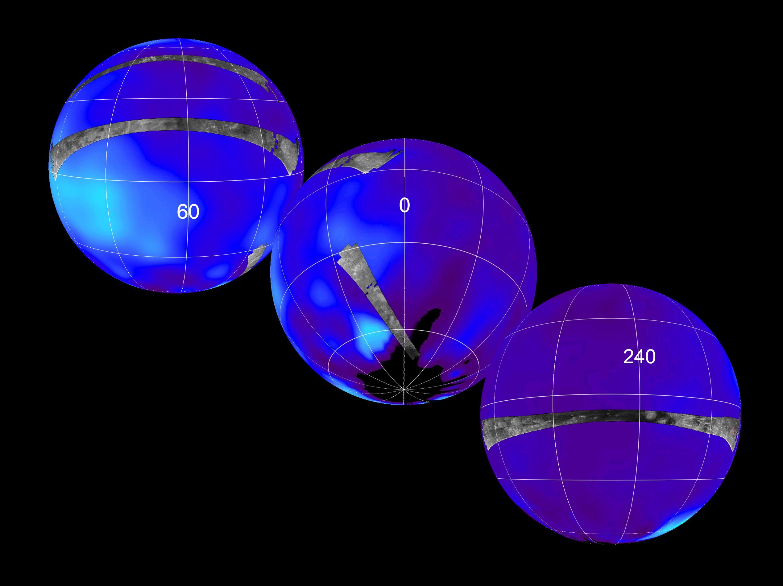
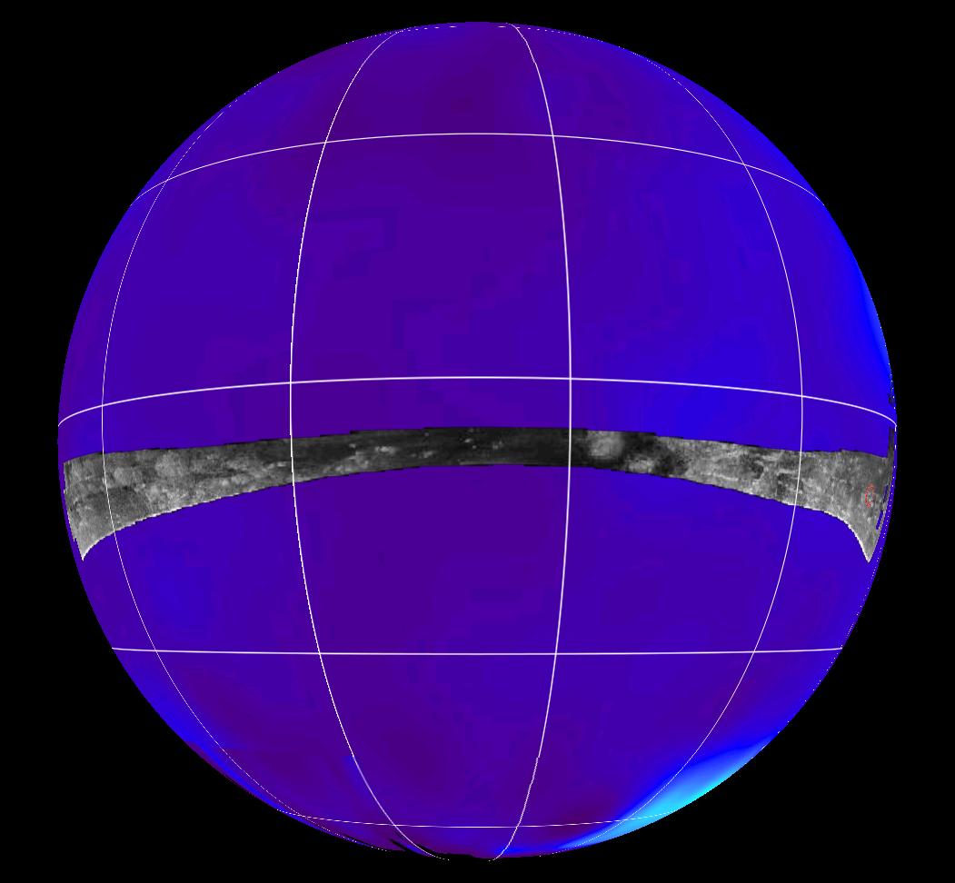
2005-10-28 |
Titan
|
Cassini-Huygens
|
Radar Mapper
|
17610x3153x1 |

|
-
PIA03068:
Titan Radar Swath (T-8 Flyby, Oct. 28, 2005)
Full Resolution:
TIFF
(17.59 MB)
JPEG
(4.557 MB)
|
|
|
2005-10-25 |
Titan
|
Cassini-Huygens
|
Radar Mapper
|
2538x1900x3 |

|
-
PIA08110:
-
Titan Viewed by Cassini's Radar
Full Resolution:
TIFF
(14.48 MB)
JPEG
(222.9 kB)
|
|
|
2005-10-25 |
Titan
|
Cassini-Huygens
|
Radar Mapper
|
2261x1131x3 |
|
-
PIA08111:
-
Titan Viewed by Cassini's Radar - Flat Map
Full Resolution:
TIFF
(7.681 MB)
JPEG
(166.3 kB)
|
|
|
2005-09-16 |
Titan
|
Cassini-Huygens
|
Radar Mapper
|
1287x1516x1 |
|
-
PIA03565:
-
Titan's Rain Drains to the Plains
Full Resolution:
TIFF
(1.953 MB)
JPEG
(609.6 kB)
|
|
|
2005-09-16 |
Titan
|
Cassini-Huygens
|
Radar Mapper
|
1715x1400x1 |

|
-
PIA03564:
-
Canyonlands of Titan
Full Resolution:
TIFF
(2.404 MB)
JPEG
(709.1 kB)
|
|
|
2005-09-16 |
Titan
|
Cassini-Huygens
|
Radar Mapper
|
1909x1385x1 |

|
-
PIA03563:
-
Shoreline on Titan?
Full Resolution:
TIFF
(2.647 MB)
JPEG
(746.7 kB)
|
|
|
2005-09-07 |
Titan
|
Cassini-Huygens
|
Radar Mapper
|
6162x1222x1 |
|
-
PIA01855:
Titan Radar Swath (T-7 Flyby - Sept. 7, 2005)
Full Resolution:
TIFF
(5.025 MB)
JPEG
(1.32 MB)
|
|
|
2005-09-05 |
Titan
|
Cassini-Huygens
|
Radar Mapper
|
1591x1124x1 |

|
-
PIA03555:
-
Titan, a Geologically Dynamic World
Full Resolution:
TIFF
(1.79 MB)
JPEG
(569.1 kB)
|
|
|
2005-04-27 |
Titan
|
Cassini-Huygens
|
Visual and Infrared Mapping Spectrometer
Radar Mapper
|
750x196x3 |
|
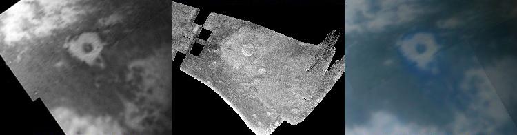
-
PIA07868:
Titan Crater in Three Views
Full Resolution:
TIFF
(441.8 kB)
JPEG
(21.34 kB)
|
|
|
2005-02-18 |
Titan
|
Cassini-Huygens
|
Radar Mapper
|
640x481x3 |
|
-
PIA07369:
-
Cassini Radar Titan Movie
Full Resolution:
TIFF
(445.1 kB)
JPEG
(30.5 kB)
|
|
|
2005-02-18 |
Titan
|
Cassini-Huygens
|
Radar Mapper
|
1000x800x1 |
|
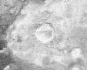
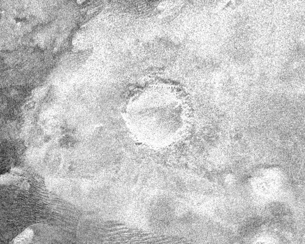
-
PIA07368:
-
Impact Crater with Ejecta Blanket
Full Resolution:
TIFF
(801 kB)
JPEG
(210.1 kB)
|
|
|
2005-02-18 |
Titan
|
Cassini-Huygens
|
Radar Mapper
|
1304x648x1 |
|
-
PIA07367:
-
Dark Terrain
Full Resolution:
TIFF
(846.1 kB)
JPEG
(330.8 kB)
|
|
|
2005-02-18 |
Titan
|
Cassini-Huygens
|
Radar Mapper
|
1020x574x1 |
|
-
PIA07366:
-
Huygens Landing Site Similarities
Full Resolution:
TIFF
(586.3 kB)
JPEG
(225.6 kB)
|
|
|
2005-02-16 |
Titan
|
Cassini-Huygens
|
Radar Mapper
|
1287x724x1 |
|
-
PIA07365:
-
Circus Maximus
Full Resolution:
TIFF
(933 kB)
JPEG
(322.1 kB)
|
|
|
2005-02-16 |
Titan
|
Cassini-Huygens
|
Radar Mapper
|
2000x675x1 |

|
-
PIA07009:
-
Cat Scratches
Full Resolution:
TIFF
(1.352 MB)
JPEG
(480.5 kB)
|
|
|
2005-02-15 |
Titan
|
Cassini-Huygens
|
Radar Mapper
|
16768x2688x1 |

|
-
PIA04389:
Titan Radar Swath (T-3 Flyby - Feb. 15, 2005)
Full Resolution:
TIFF
(18.88 MB)
JPEG
(5.264 MB)
|
|
|
2004-12-01 |
Titan
|
Cassini-Huygens
|
Radar Mapper
|
844x998x1 |
|
-
PIA06995:
-
Follow the Arrow
Full Resolution:
TIFF
(843.4 kB)
JPEG
(225.1 kB)
|
|
|
2004-11-08 |
Titan
|
Cassini-Huygens
|
Radar Mapper
|
504x424x1 |
|
-
PIA06993:
-
Oozing Across Titan
Full Resolution:
TIFF
(214.1 kB)
JPEG
(59.3 kB)
|
|
|
2004-11-05 |
Titan
|
Cassini-Huygens
|
Radar Mapper
|
1846x1882x3 |
|
-
PIA06992:
-
Radar Shows Titan Live and in Color
Full Resolution:
TIFF
(8.428 MB)
JPEG
(1.142 MB)
|
|
|
2004-10-28 |
Titan
|
Cassini-Huygens
|
Radar Mapper
|
720x540x1 |
|
-
PIA06989:
-
Topography on Titan
Full Resolution:
TIFF
(154.4 kB)
JPEG
(39.7 kB)
|
|
|
2004-10-28 |
Titan
|
Cassini-Huygens
|
Radar Mapper
|
2774x2048x3 |
|
-
PIA06988:
-
Diversity on Titan
Full Resolution:
TIFF
(4.557 MB)
JPEG
(970.7 kB)
|


