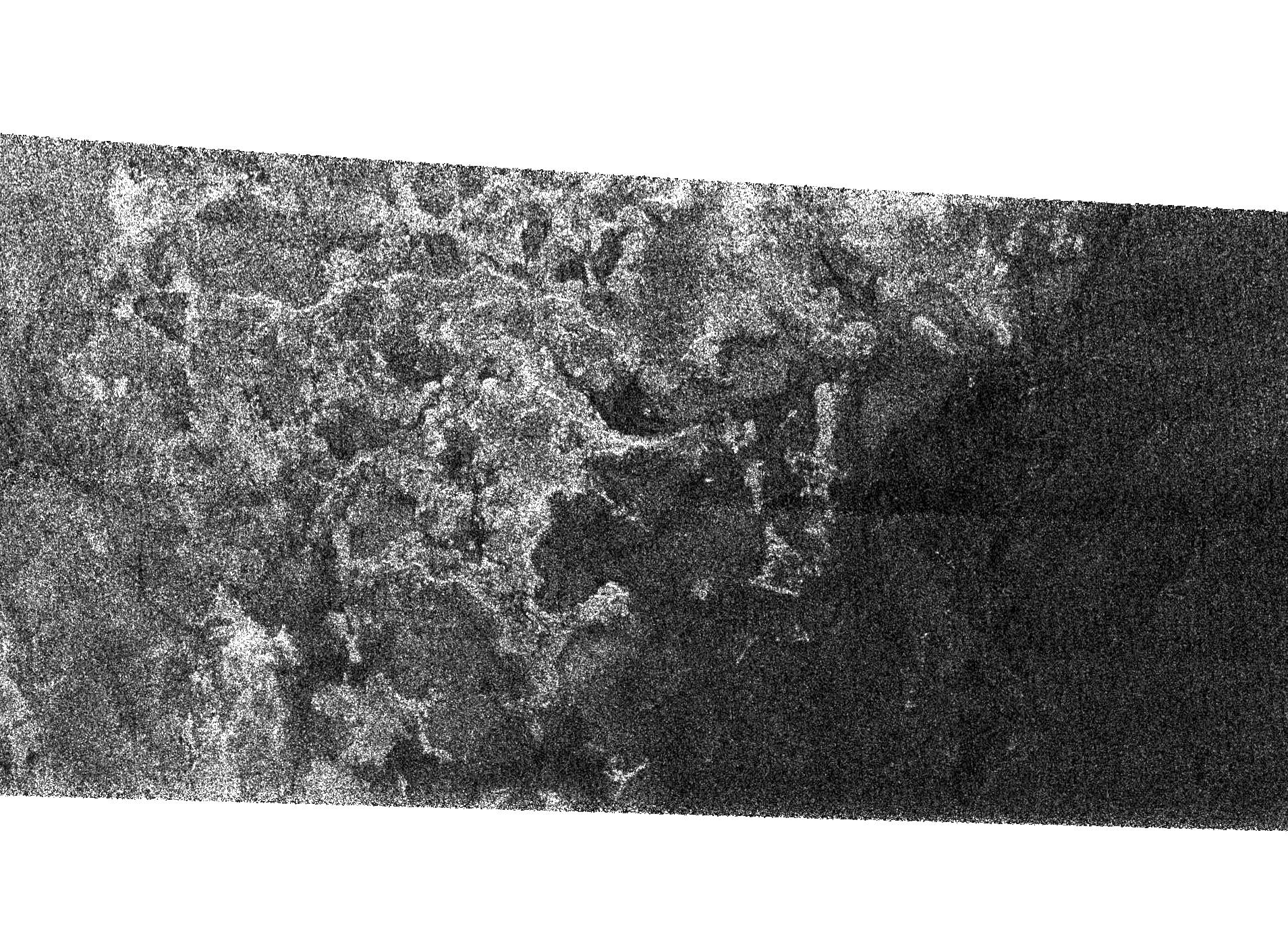
This Synthetic Aperture Radar image of the surface of Saturn's moon Titan was obtained by the Cassini spacecraft on Sept. 7, 2005. The bright, rough region on the left side of the image seems to be topographically high terrain that is cut by channels and bays.
The boundary of the bright (rough) region and the dark (smooth) region appears to be a shoreline. The patterns in the dark area indicate that it may once have been flooded, with the liquid having at least partially receded.
The image is 175 kilometers high and 330 kilometers wide (109 miles by 205 miles), and is located at 66 degrees south latitude, 356 degrees west longitude in the southern hemisphere of Titan.
The Cassini-Huygens mission is a cooperative project of NASA, the European Space Agency and the Italian Space Agency. The Jet Propulsion Laboratory, a division of the California Institute of Technology in Pasadena, manages the mission for NASA's Science Mission Directorate, Washington, D.C. The Cassini orbiter was designed, developed and assembled at JPL. The radar instrument was built by JPL and the Italian Space Agency, working with team members from the United States and several European countries.
For more information about the Cassini-Huygens mission visit http://saturn.jpl.nasa.gov.
