Your search criteria found
12760
images
Target is Mars (and available satellites)
Go to PIAxxxxx:
Refine this list of images by:
Target:
Deimos
Mars
Phobos
Mission:
2001 Mars Odyssey
Antarctic Meteorite Location and Mapping Project (AMLAMP)
Dawn
ExoMars
Hubble Space Telescope
InSight
MAVEN
Mariner Mars 1964 (Mariner 4)
Mariner Mars 1969 (Mariner 7)
Mariner Mars 1971 (Mariner 9)
Mars 2020
Mars 2020 Rover
Mars Atmosphere and Volatile Evolution MissioN (MAVEN)
Mars Climate Orbiter
Mars Cube One (MarCO)
Mars Exploration Rover (MER)
Mars Express (MEX)
Mars Global Surveyor (MGS)
Mars Helicopter
Mars Pathfinder (MPF)
Mars Reconnaissance Orbiter (MRO)
Mars Sample Return
Mars Sample Return (MSR)
Mars Science Laboratory (MSL)
Phoenix
Rosetta
Viking
Spacecraft:
2001 Mars Odyssey
Curiosity
Dawn
InSight Mars Lander
Ingenuity
MAVEN
MarCO-B
Mariner 4
Mariner 7
Mariner 9
Mars Climate Orbiter
Mars Express (MEX)
Mars Express (MEX) Orbiter
Mars Global Surveyor Orbiter
Mars Pathfinder Lander
Mars Pathfinder Rover
Mars Reconnaissance Orbiter (MRO)
Mars Sample Return
Mars Science Laboratory (MSL)
NASA's Mars Pathfinder Lander
Opportunity
Perseverance
Philae Lander
Phoenix Lander
Phoenix Mars Lander
Spirit
Viking Lander 1
Viking Lander 2
Viking Orbiter 1
Viking Orbiter 2
Instrument:
Alpha Particle X-ray Spectrometer
Alpha Particle X-ray Spectrometer (MSL)
Atmospheric Structure / Meteorology Instrument
CHIMRA
Camera 1
Camera 2
Chemistry & Mineralogy (CheMin)
Chemistry and Camera (ChemCam)
Comet Infrared and Visible Analyser (CIVA
Compact Reconnaissance Imaging Spectrometer for Mars (CRISM)
Context Camera (CTX)
Deep Space Network
Descent Image Motion Estimation System (DIMES)
Dynamic Albedo of Neutrons
Dynamic Albedo of Neutrons (DAN)
Gamma Ray Spectrometer - Neutron Spectrometer
Gamma Ray Spectrometer Suite
Hazard Avoidance Camera
Hazard Avoidance Camera (M2020)
Hazard Avoidance Camera (MSL)
Heat and Physical Properties Package (HP3)
High Resolution Imaging Science Experiment (HiRISE)
High Resolution Instrument (HRI)
High Resolution Stereo Camera
Imager for Mars Pathfinder
Imaging Ultraviolet Spectrograph
Imaging Ultraviolet Spectrograph (IUVS)
Instrument Context Camera (ICC)
Instrument Deployment Camera (IDC)
Lander Vision System Camera (LCAM)
Magnetometer
Mars Advanced Radar for Subsurface and Ionosphere Sounding (MARSIS)
Mars Advanced Radar for Subsurface and Ionospheric Sounding (MARSIS)
Mars Climate Sounder (MCS)
Mars Color Imager (MARCI)
Mars Descent Imager
Mars Environmental Dynamics Analyzer (MEDA)
Mars Hand Lens Imager (MAHLI)
Mars Horizon Sensor Assembly
Mars Orbiter Camera (MOC)
Mars Orbiter Laser Altimeter
Mars Radiation Experiment
Mastcam
Mastcam-Z
Microscopic Imager
Microscopy Electrochemistry and Conductivity Analyzer (MECA)
Miniature Thermal Emission Spectrometer
Moessbauer Spectrometer
Navigation Camera
Navigation Camera (M2020)
Navigation Camera (MSL)
Neutral Gas and Ion Mass Spectrometer
Neutron Spectrometer
Optical Microscope
Optical Navigation Camera
Panoramic Camera
Planetary Instrument for X-ray Lithochemistry (PIXL)
Radar System
Radiation Assessment Detector (RAD)
Radio Science Subsystem
Robotic Arm
Robotic Arm (MSL)
Robotic Arm Camera (RAC)
Rock Abrasion Tool (RAT)
Rover Cameras
Rover Environmental Monitoring Station (REMS)
Sample Analysis at Mars (SAM)
Scanning Habitable Environments with Raman & Luminescence for Organics and Chemicals (SHERLOC)
Seismic Experiment for Interior Structure (SEIS)
Shallow Subsurface Radar (SHARAD)
Stereo Imager (SSI)
SuperCam
Surface Stereo Imager (SSI)
Thermal Emission Imaging System
Thermal Emission Spectrometer
Thermal and Electrical Conductivity Probe
Thermal and Evolved Gas Analyzer
Trace Gas Orbiter
Visual Imaging Subsystem
Visual Imaging Subsystem - Camera A
Visual Imaging Subsystem - Camera B
Wide Field Planetary Camera 2
Click on an image for detailed information
Click on a column heading to sort in ascending or descending order
My
List
Addition Date
Target
Mission
Instrument
Size
2017-09-11
Mars
2001 Mars Odyssey
THEMIS
1148x2781x1
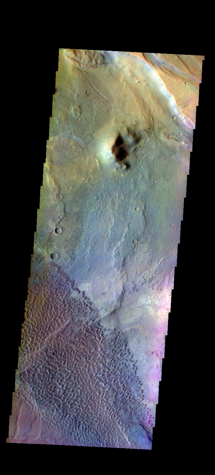
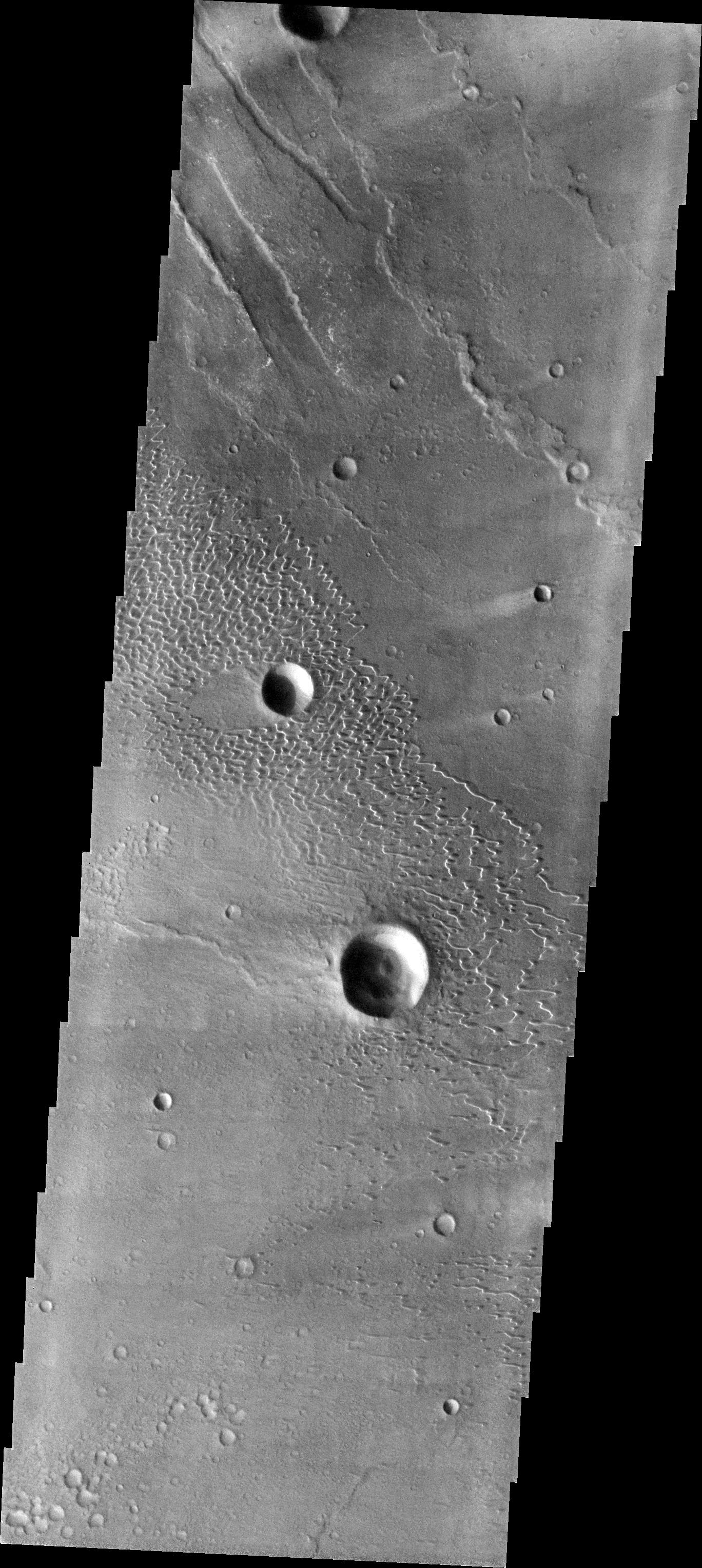
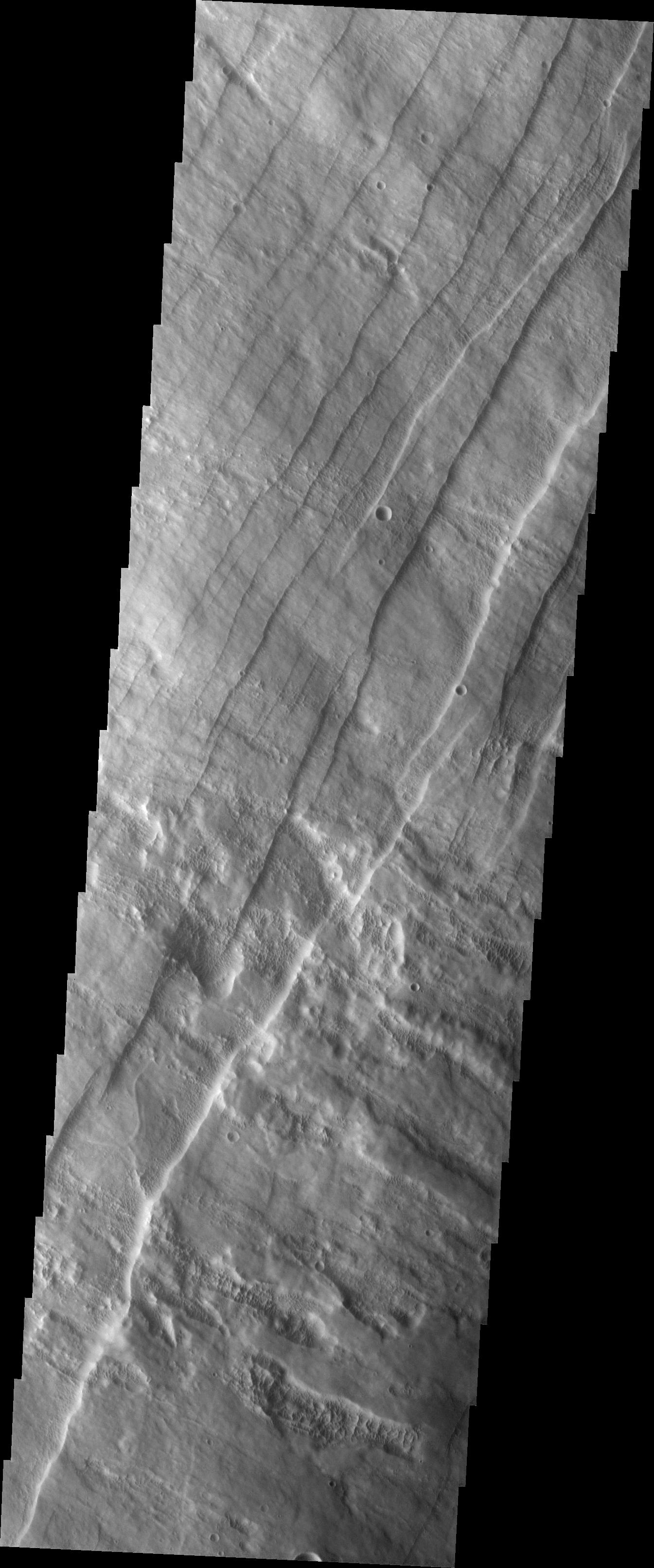
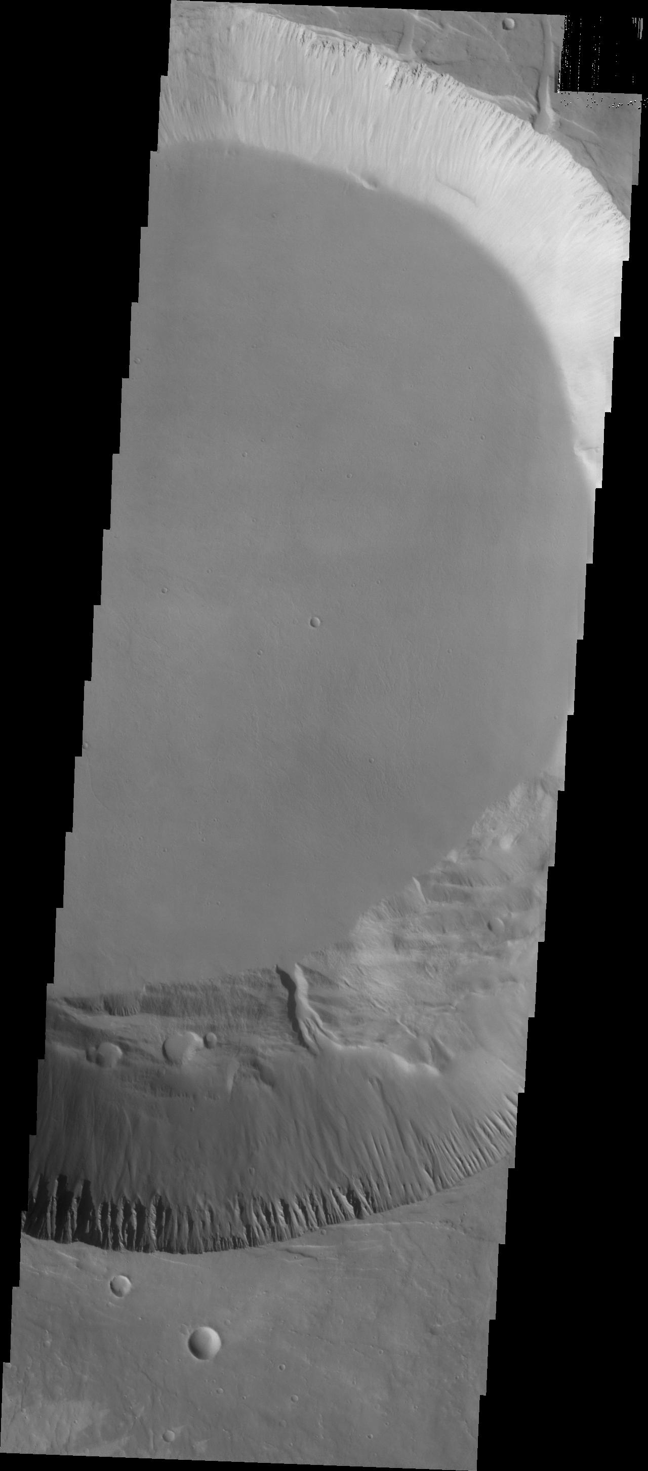
PIA21831:
Investigating Mars: Siton Undae
Full Resolution:
TIFF
(3.196 MB)
JPEG
(545.1 kB)
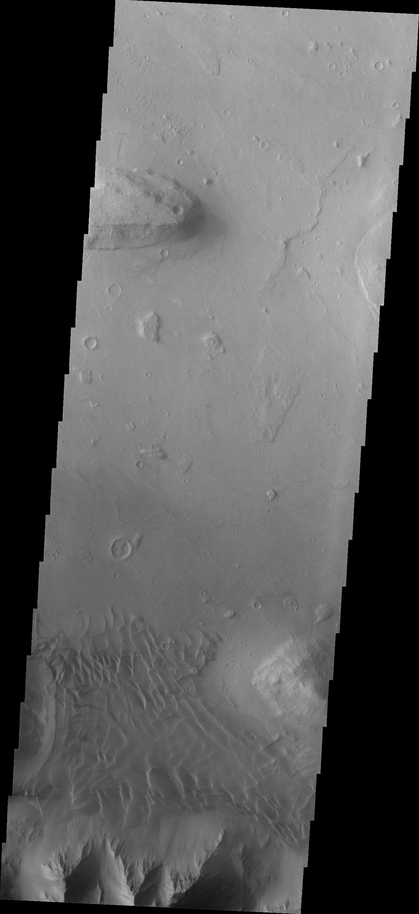
2017-09-12
Mars
2001 Mars Odyssey
THEMIS
1144x2773x1
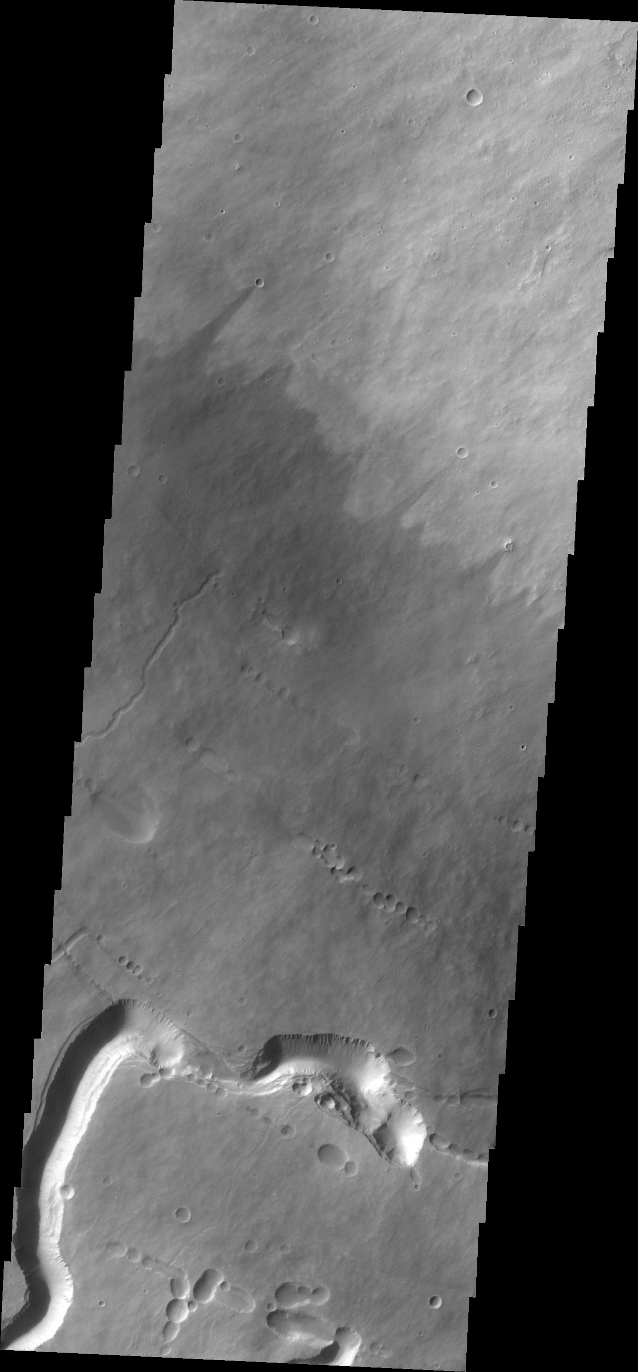
PIA21832:
Investigating Mars: Siton Undae
Full Resolution:
TIFF
(3.176 MB)
JPEG
(518.5 kB)
2017-09-13
Mars
2001 Mars Odyssey
THEMIS
1146x2782x1
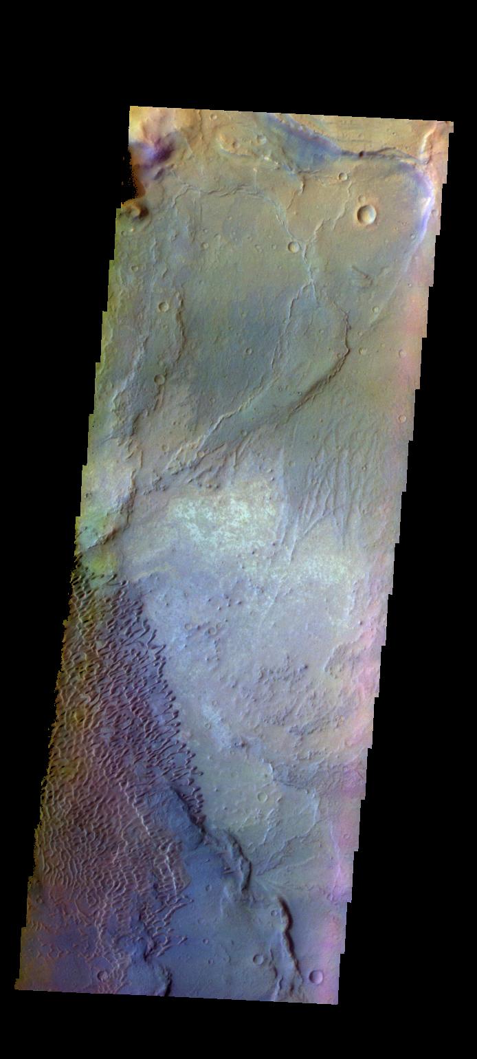
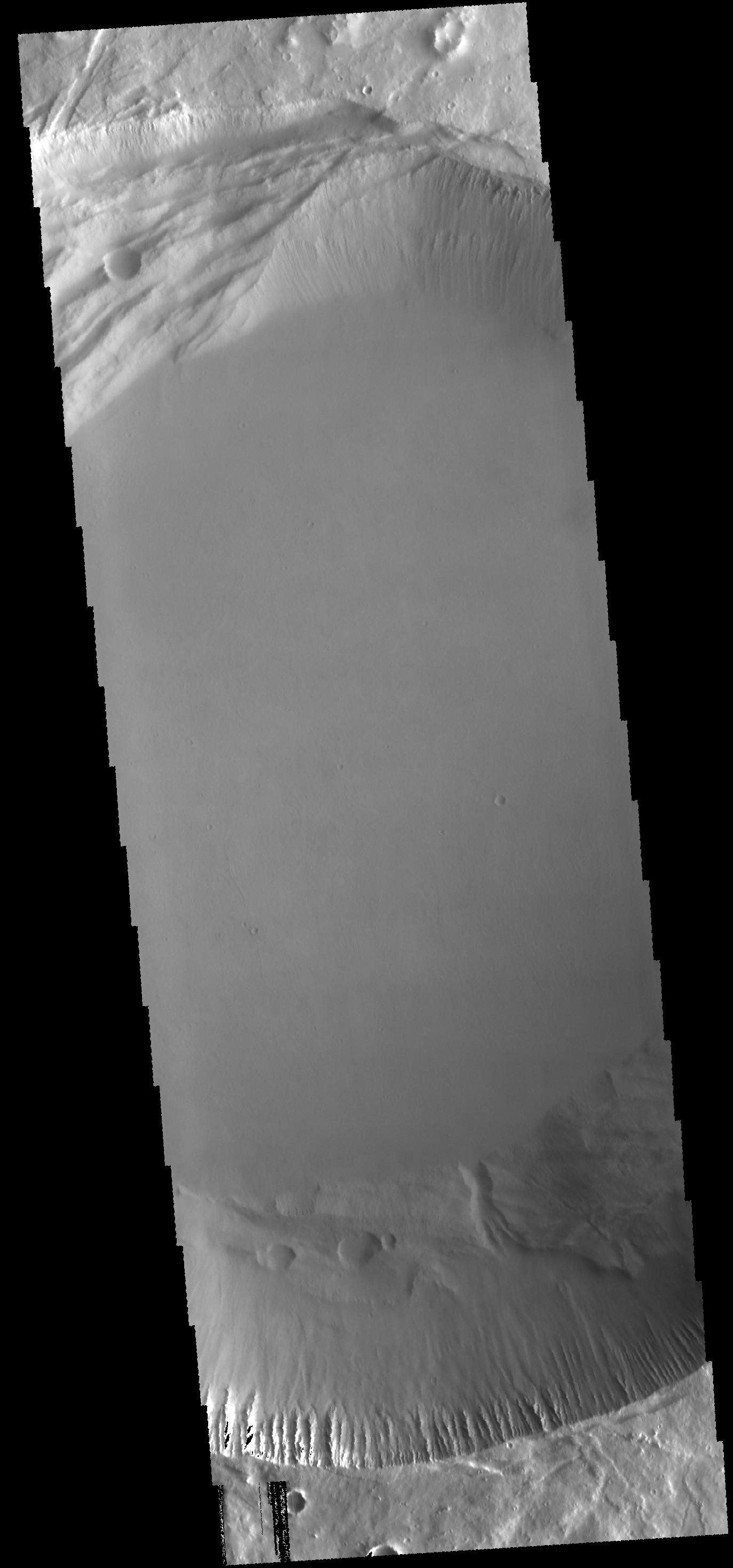
PIA21833:
Investigating Mars: Siton Undae
Full Resolution:
TIFF
(3.192 MB)
JPEG
(544.8 kB)
2017-09-13
Mars
Mars Science Laboratory (MSL)
Mastcam
15270x2348x3
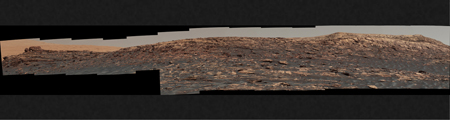
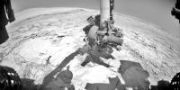
PIA21849:
Curiosity View of 'Vera Rubin Ridge' From Below, Sol 1734
Full Resolution:
TIFF
(79.96 MB)
JPEG
(5.458 MB)
2017-09-13
Mars
Mars Science Laboratory (MSL)
Mastcam
11829x2500x3
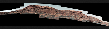
PIA21850:
Martian Ridge Looming Above Curiosity Prior to Ascent
Full Resolution:
TIFF
(37.28 MB)
JPEG
(3.092 MB)
2017-09-13
Mars
Mars Science Laboratory (MSL)
Mastcam
13333x1925x3
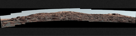
PIA21851:
Looking Up at Layers of 'Vera Rubin Ridge' on Sol 1790
Full Resolution:
TIFF
(43.18 MB)
JPEG
(3.654 MB)
2017-09-13
Mars
Mars Science Laboratory (MSL)
ChemCam
2615x1557x1
PIA21852:
Micro-imager View: Layers in 'Vera Rubin Ridge,' Mars
Full Resolution:
TIFF
(3.738 MB)
JPEG
(490.9 kB)
2017-09-14
Mars
2001 Mars Odyssey
THEMIS
1198x2918x1
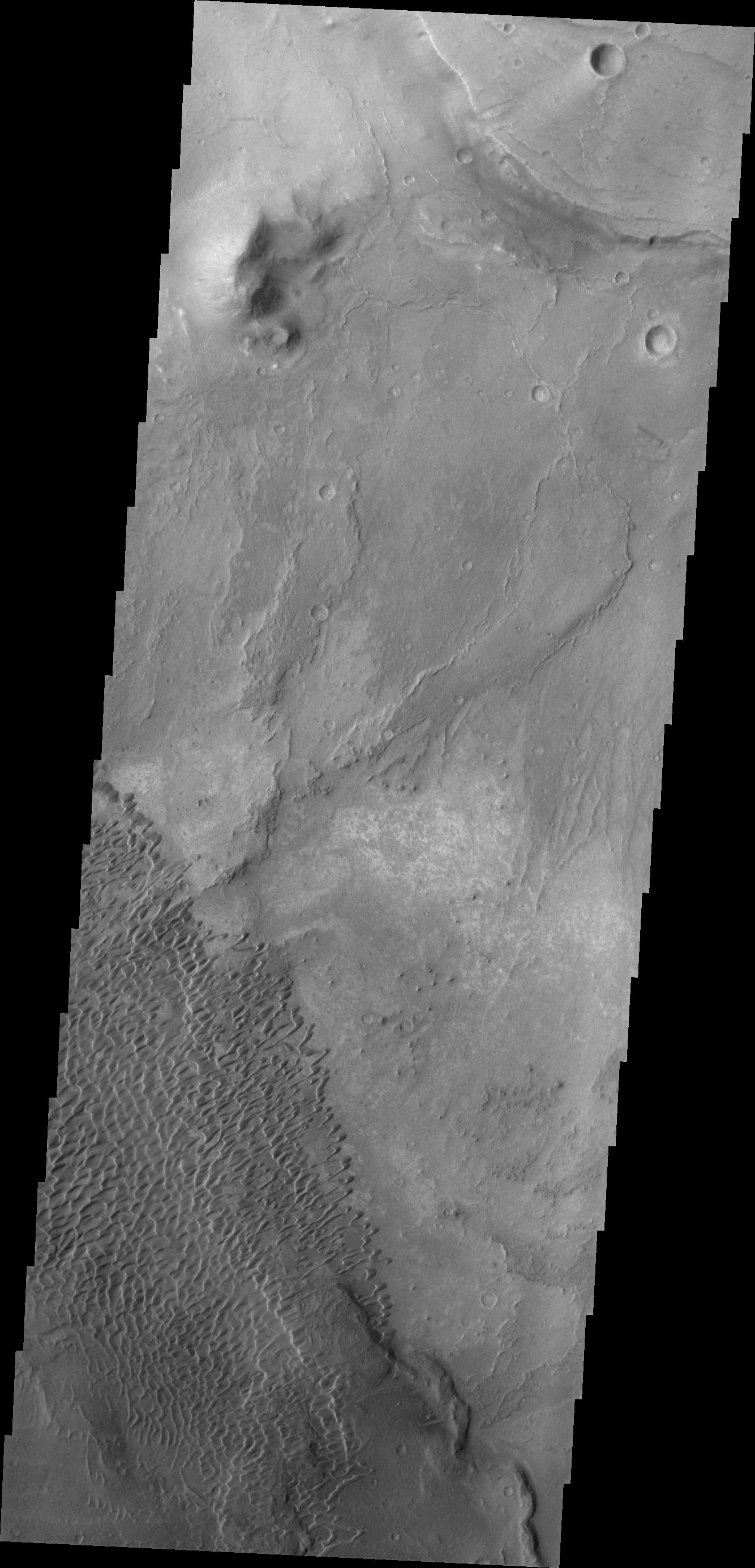
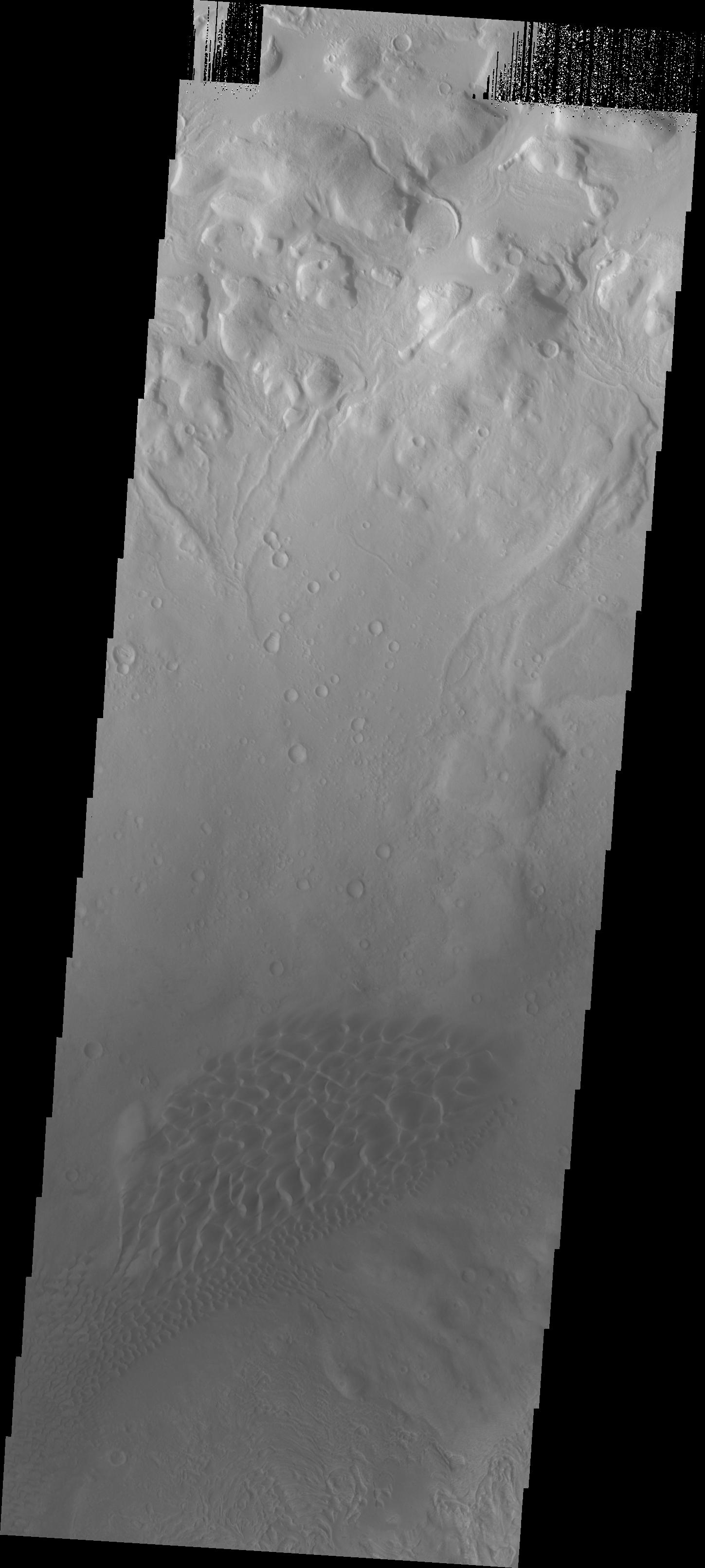
PIA21834:
Investigating Mars: Siton Undae
Full Resolution:
TIFF
(3.5 MB)
JPEG
(552.9 kB)
2017-09-15
Mars
2001 Mars Odyssey
THEMIS
1196x2638x1
PIA21835:
Investigating Mars: Siton Undae
Full Resolution:
TIFF
(2.909 MB)
JPEG
(386.4 kB)
2017-09-18
Mars
2001 Mars Odyssey
THEMIS
602x6530x1
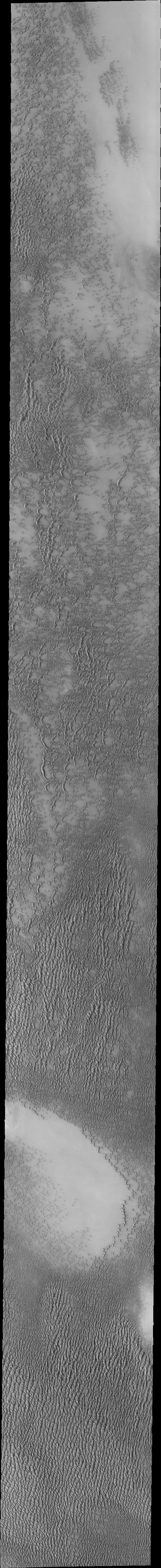
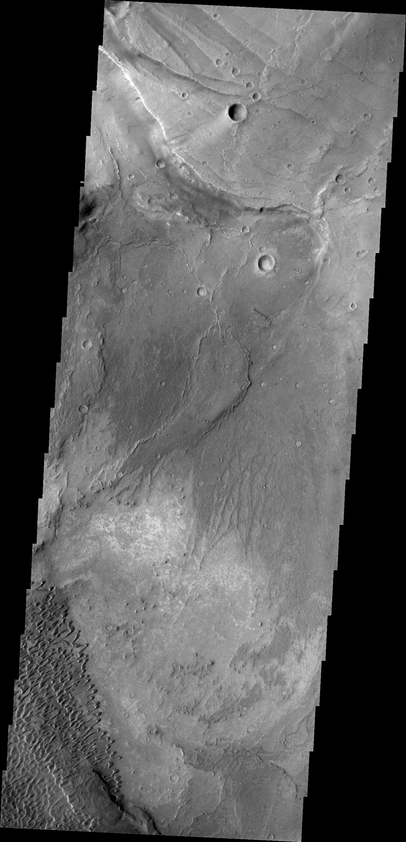
PIA21948:
Investigating Mars: Siton Undae
Full Resolution:
TIFF
(3.769 MB)
JPEG
(530.1 kB)
2017-09-18
Mars
Mars Reconnaissance Orbiter (MRO)
HiRISE
2880x1800x3
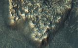
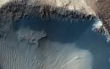
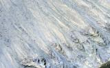
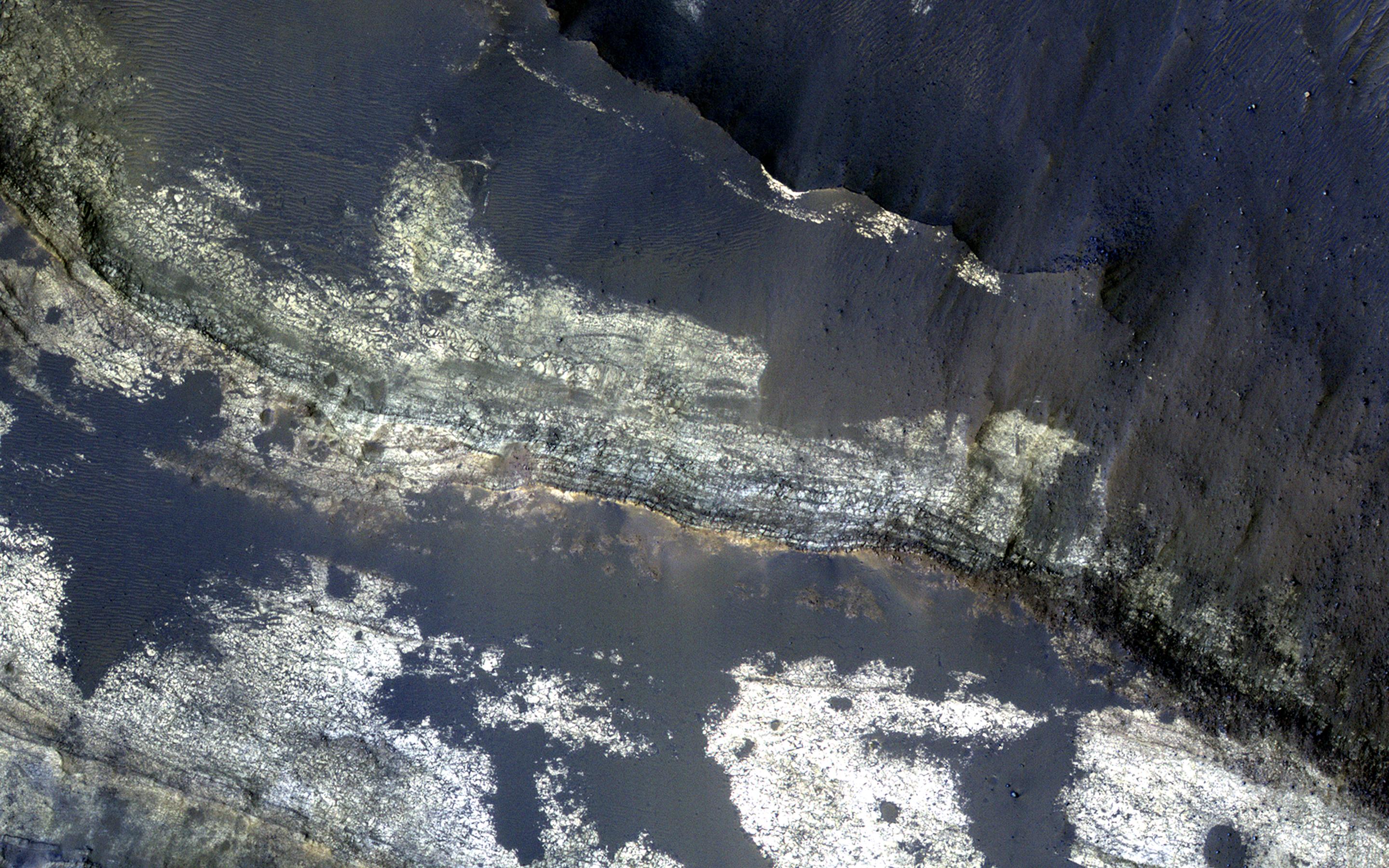
PIA21952:
A Sequence of Beauty in Terby Crater
Full Resolution:
TIFF
(15.56 MB)
JPEG
(958.8 kB)
2017-09-18
Mars
Mars Reconnaissance Orbiter (MRO)
HiRISE
2880x1800x3
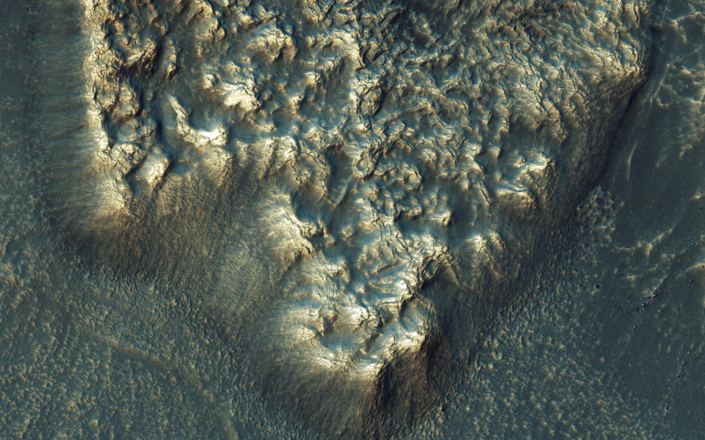
PIA21953:
Go with the (Bright) Flow
Full Resolution:
TIFF
(15.56 MB)
JPEG
(974.7 kB)
2017-09-18
Mars
Mars Reconnaissance Orbiter (MRO)
HiRISE
2880x1800x3
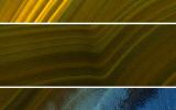
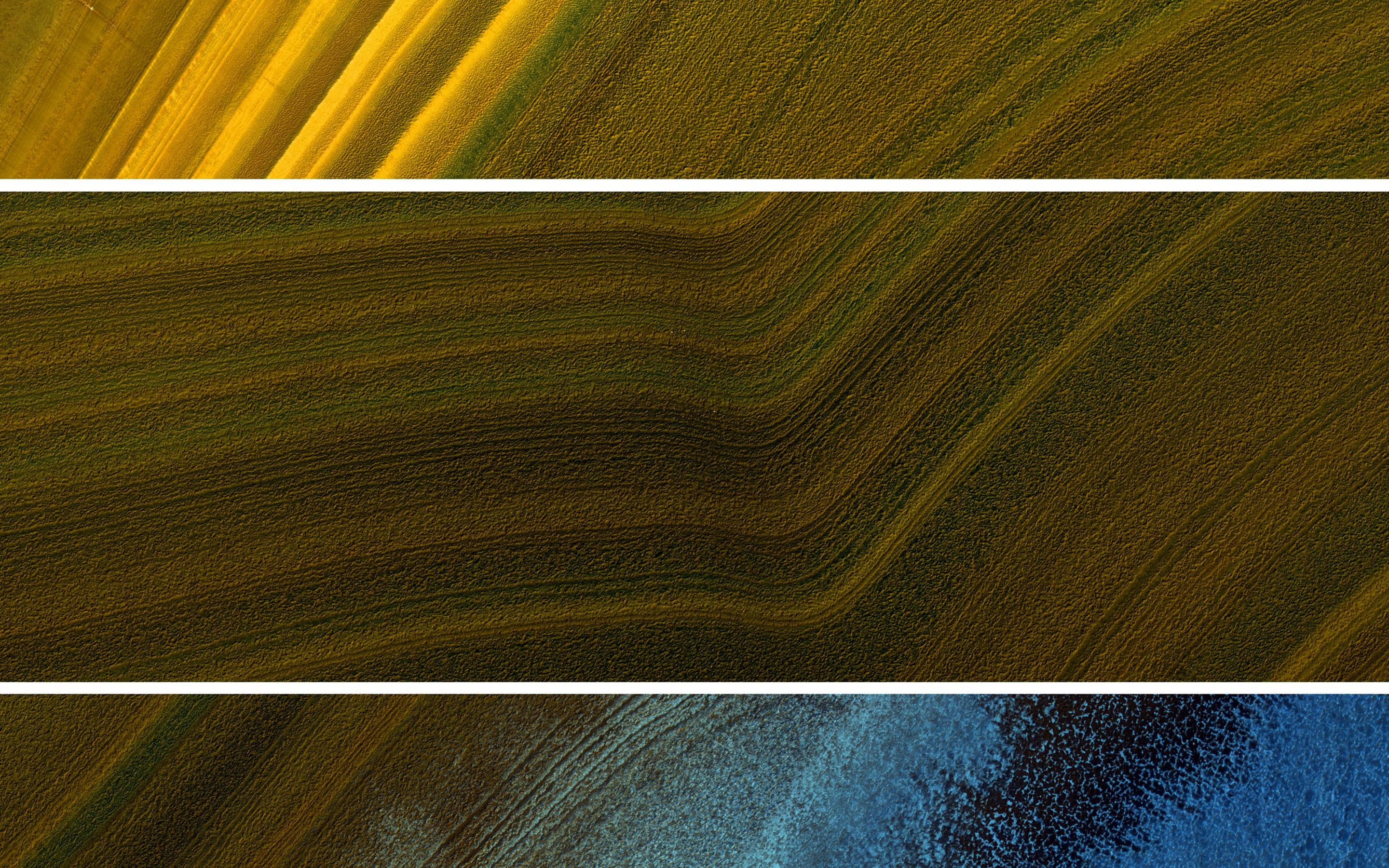
PIA21954:
North Polar Layers: Streaking and Unconformity
Full Resolution:
TIFF
(15.56 MB)
JPEG
(1.298 MB)
2017-09-18
Mars
Mars Reconnaissance Orbiter (MRO)
HiRISE
2880x1800x3
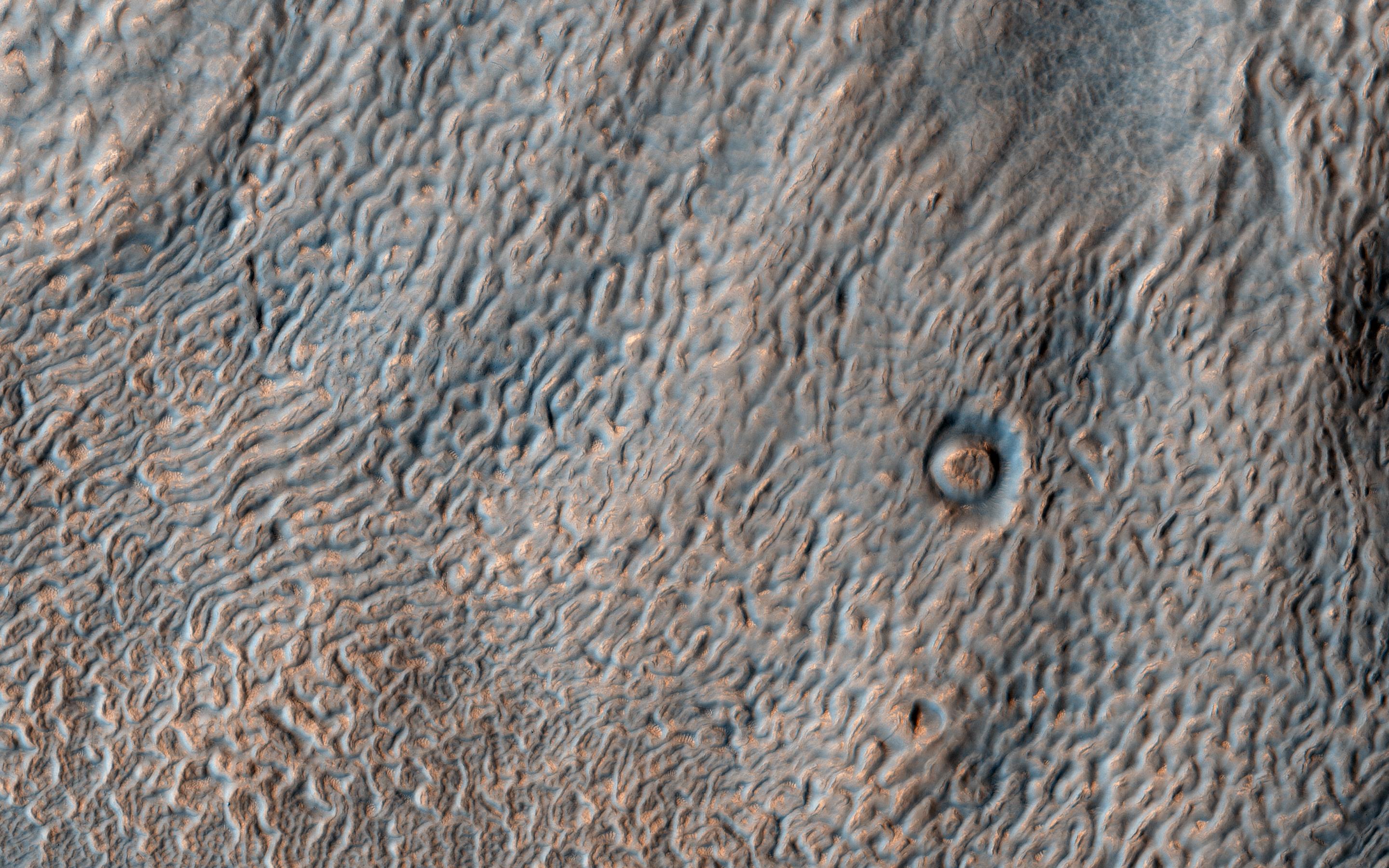
PIA21955:
Textures in Deuteronilus Mensae
Full Resolution:
TIFF
(15.56 MB)
JPEG
(889.7 kB)
2017-09-19
Mars
2001 Mars Odyssey
THEMIS
603x6597x1
PIA21959:
Investigating Mars: Siton Undae
Full Resolution:
TIFF
(3.828 MB)
JPEG
(501.2 kB)
2017-09-20
Mars
2001 Mars Odyssey
THEMIS
603x5870x1
PIA21987:
Investigating Mars: Siton Undae
Full Resolution:
TIFF
(3.543 MB)
JPEG
(610.5 kB)
2017-09-21
Mars
2001 Mars Odyssey
THEMIS
597x5880x1
PIA21988:
Investigating Mars: Siton Undae
Full Resolution:
TIFF
(3.507 MB)
JPEG
(565.3 kB)
2017-09-22
Mars
2001 Mars Odyssey
THEMIS
595x5955x1
PIA21989:
Investigating Mars: Siton Undae
Full Resolution:
TIFF
(3.547 MB)
JPEG
(589.9 kB)
2017-09-25
Mars
2001 Mars Odyssey
THEMIS
1315x2783x1
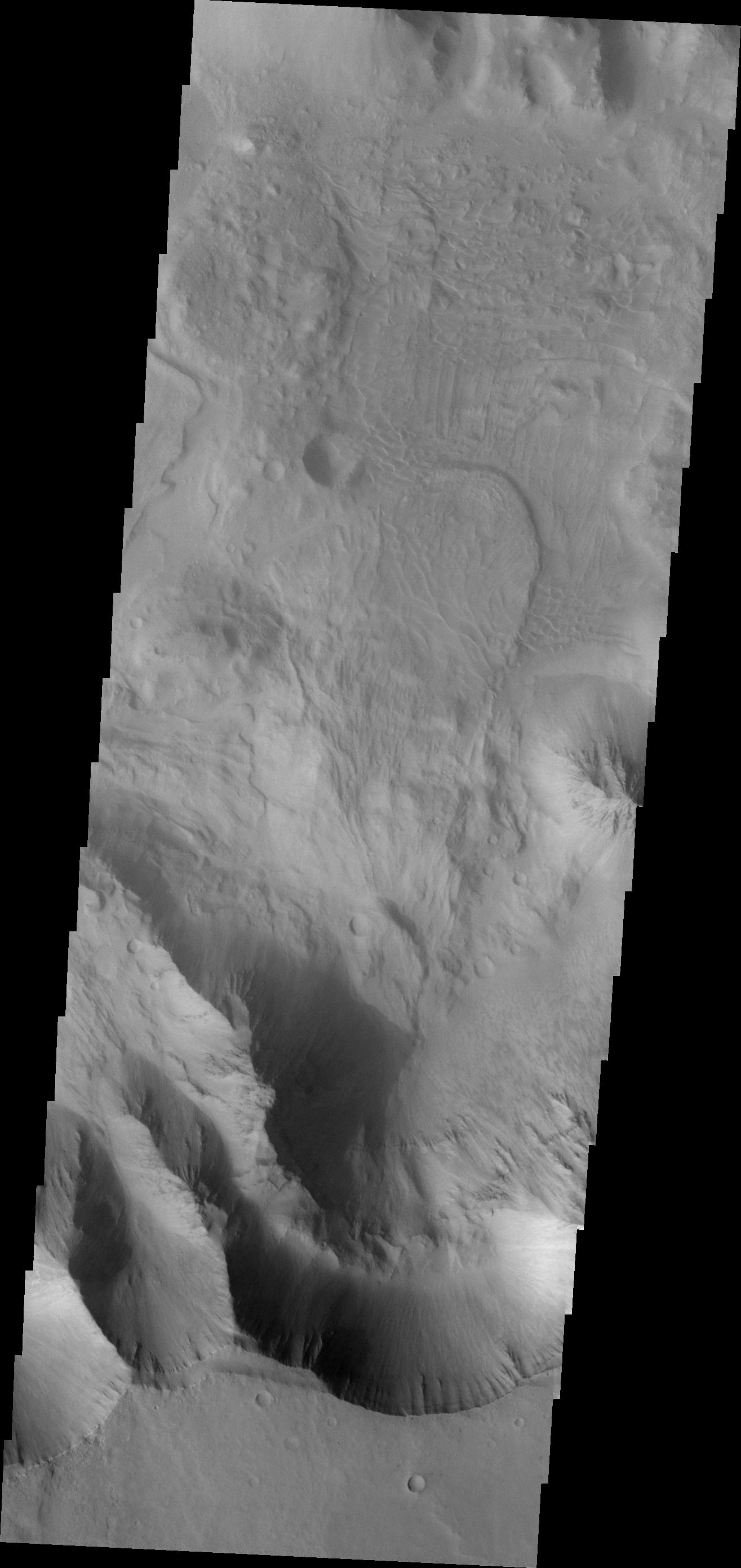
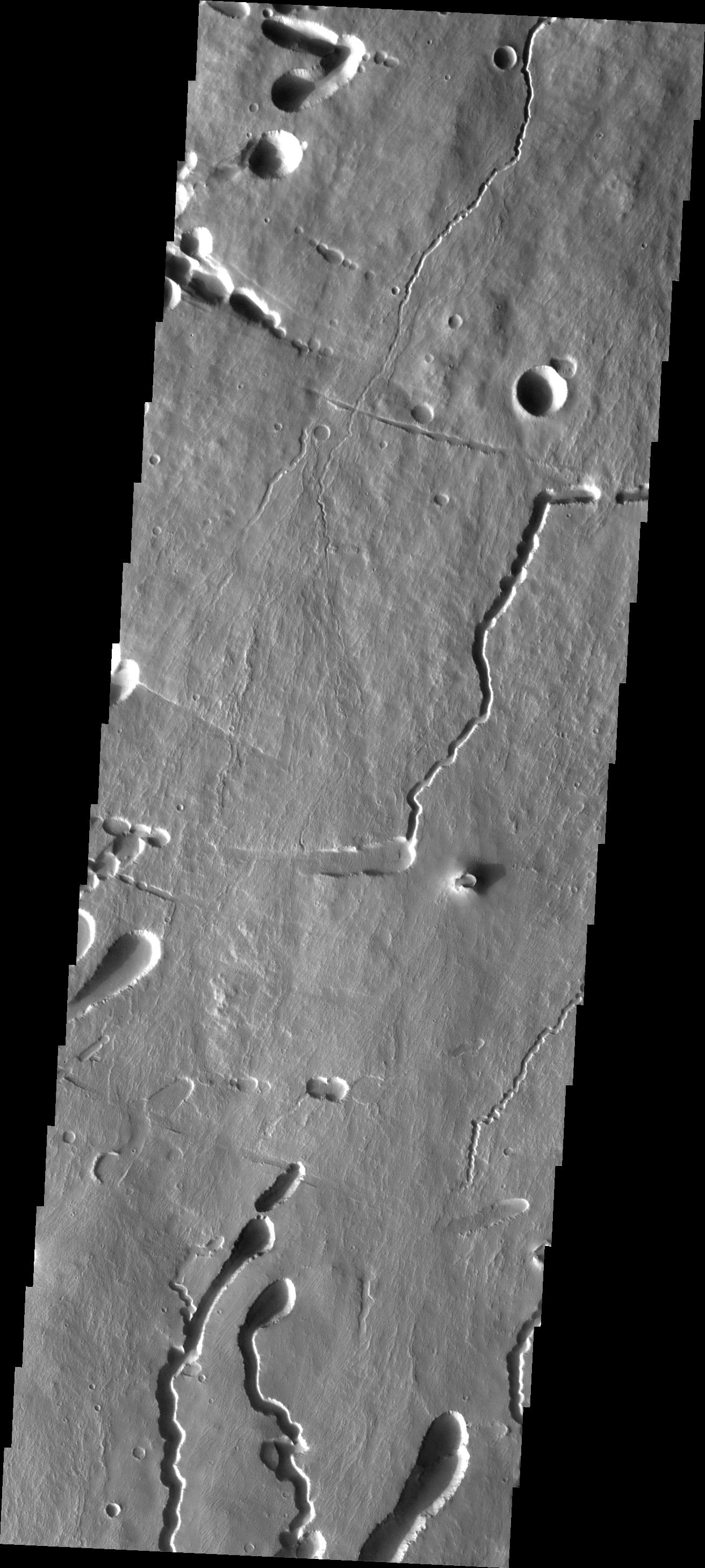
PIA21990:
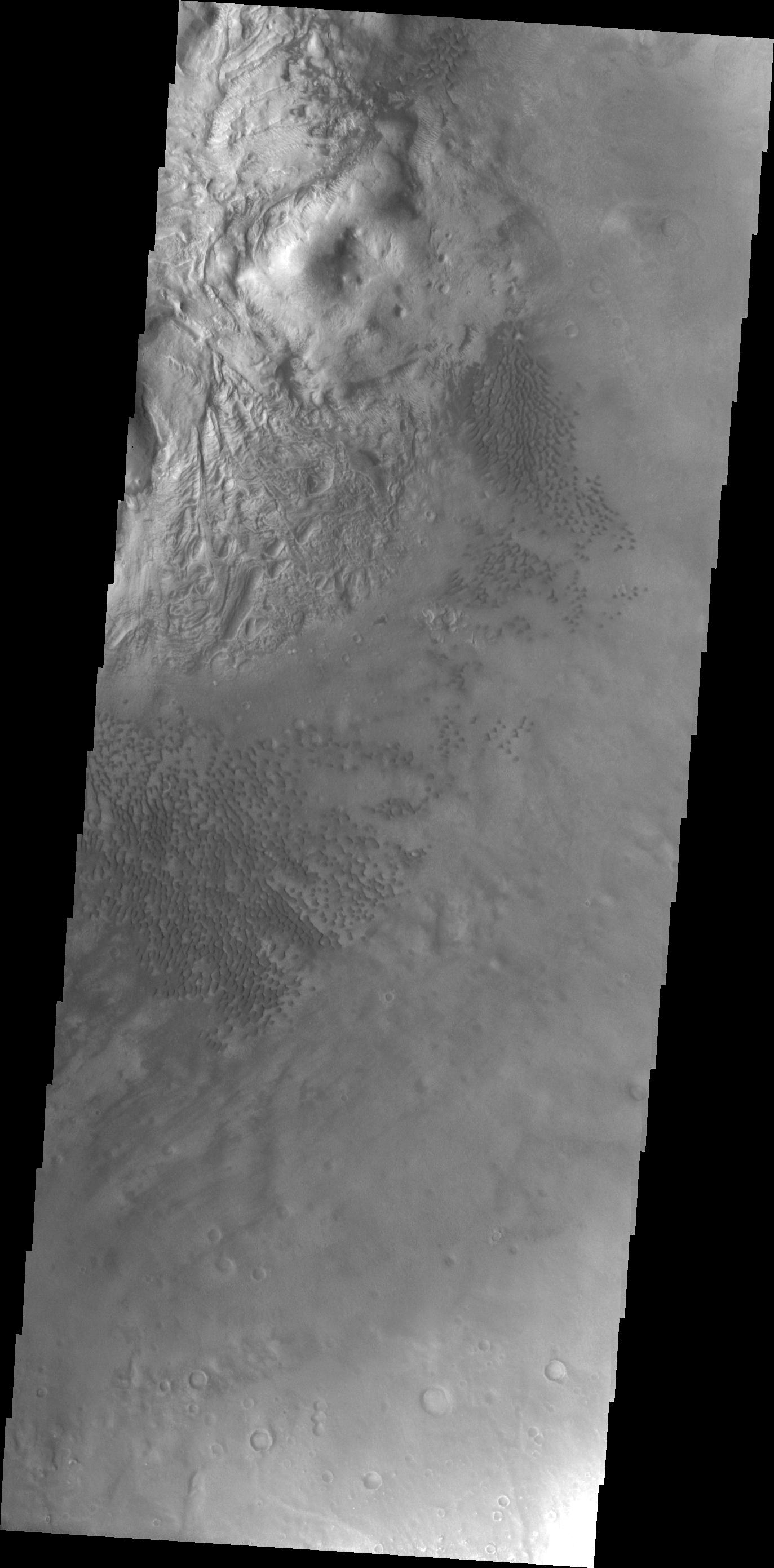
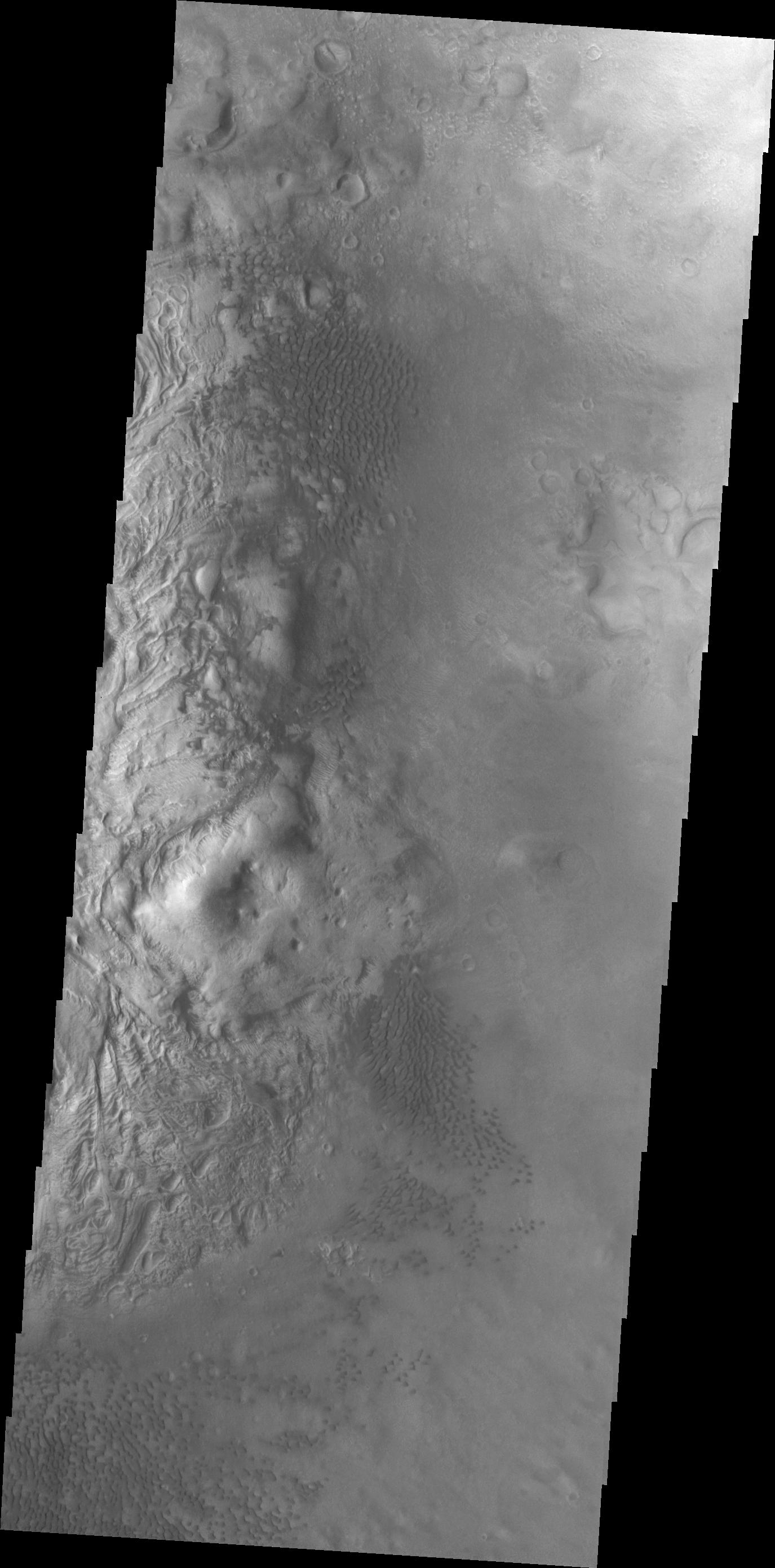
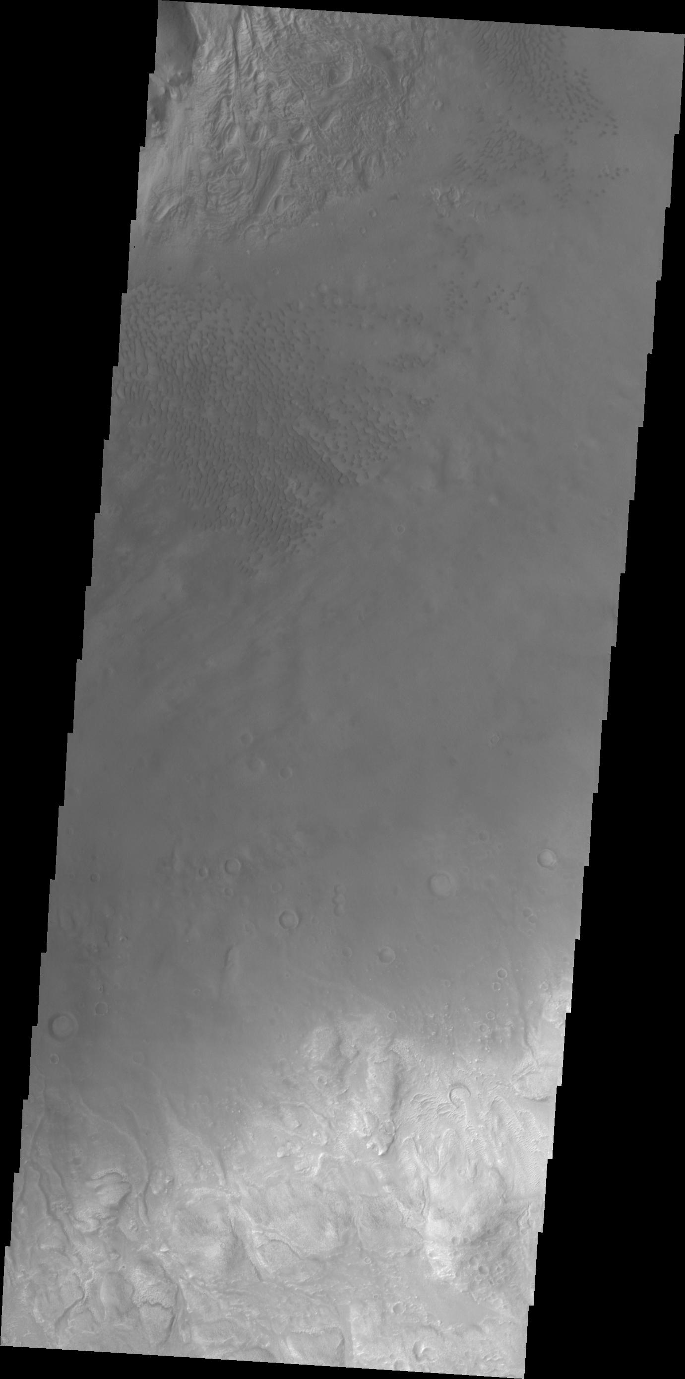
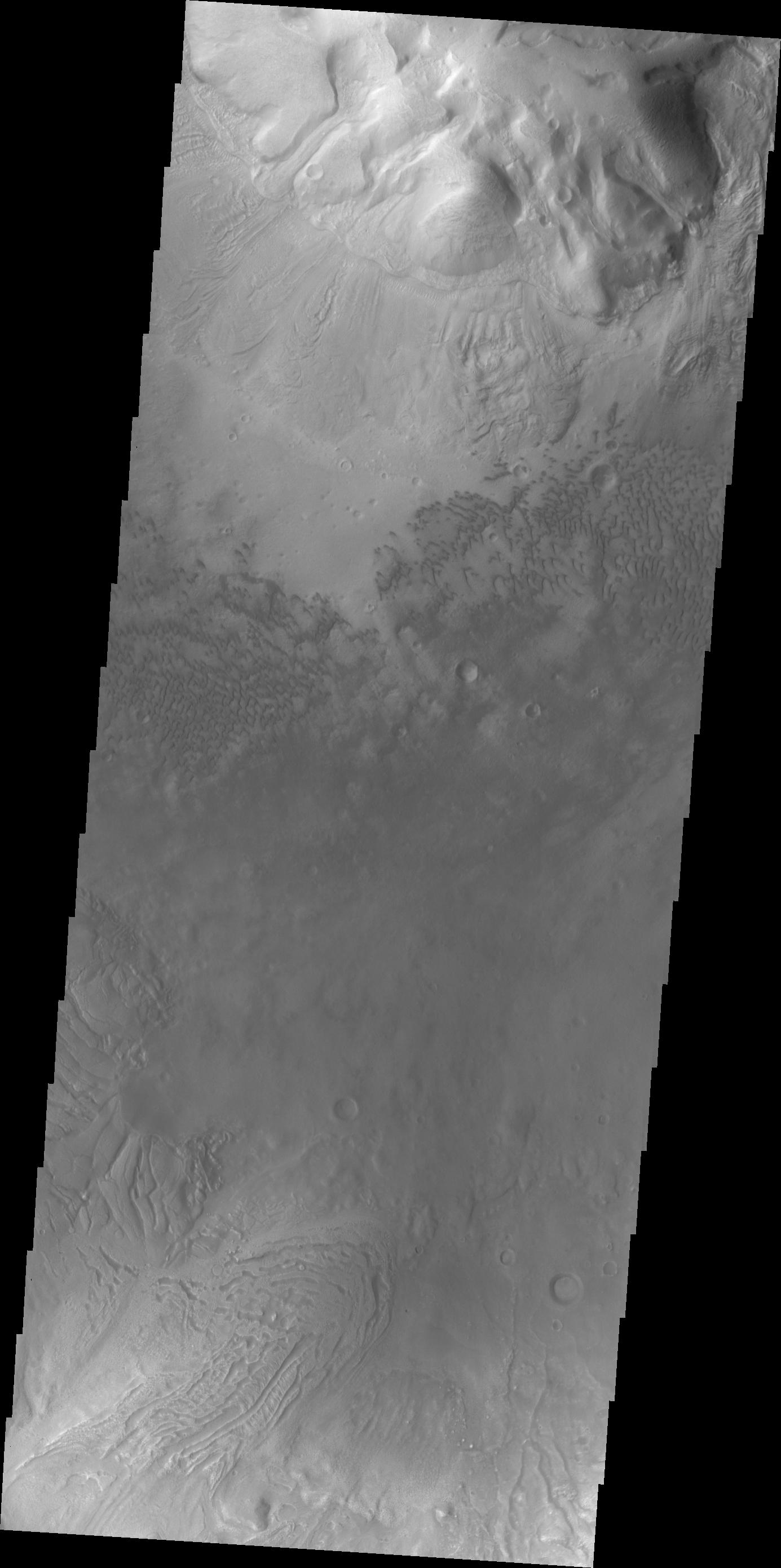
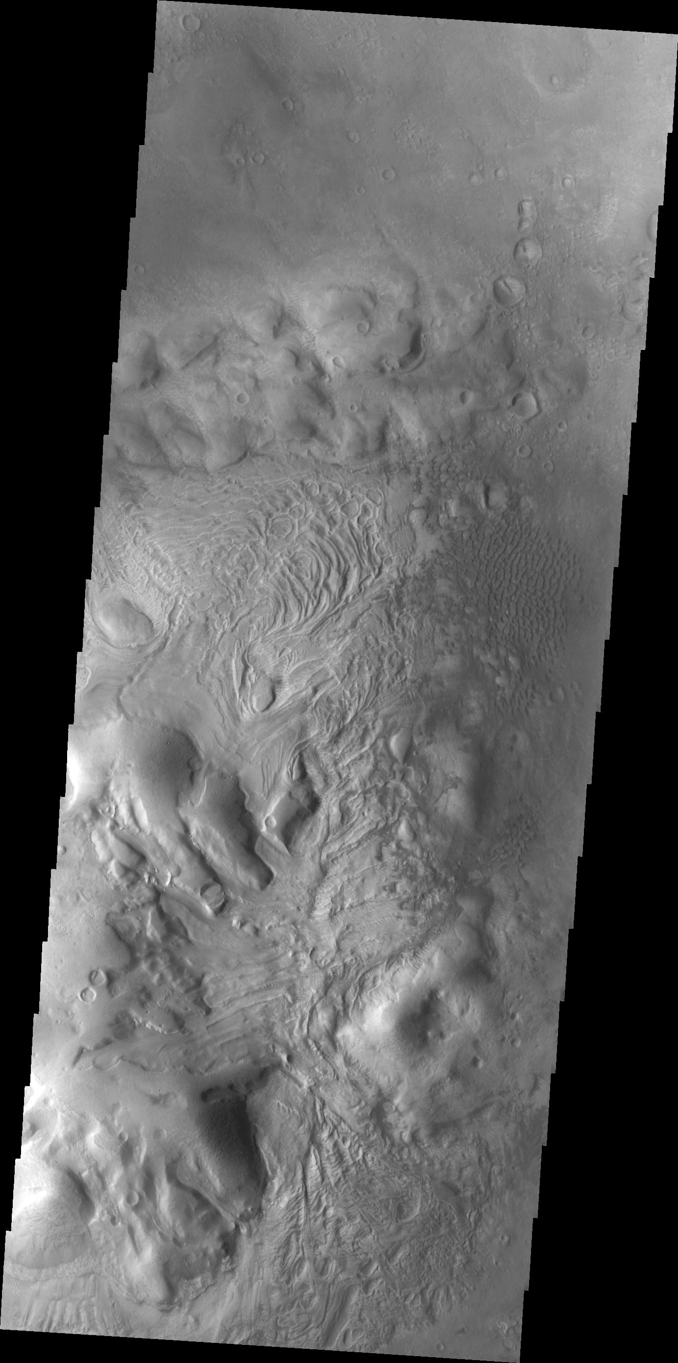
Investigating Mars: Coprates Chasma
Full Resolution:
TIFF
(2.57 MB)
JPEG
(258.5 kB)
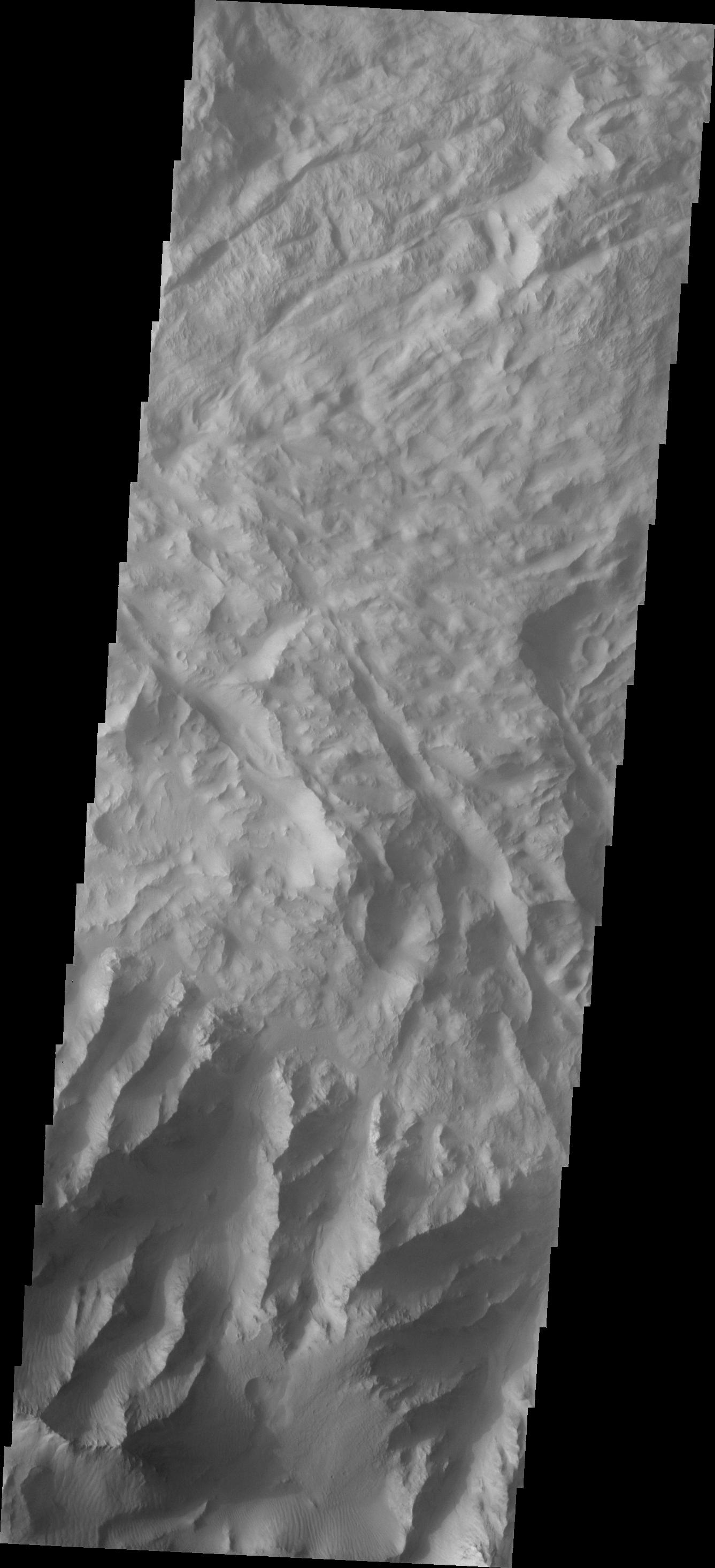
2017-09-26
Mars
2001 Mars Odyssey
THEMIS
1343x2933x1
PIA21991:
Investigating Mars: Coprates Chasma
Full Resolution:
TIFF
(2.793 MB)
JPEG
(290.6 kB)
2017-09-27
Mars
2001 Mars Odyssey
THEMIS
1332x2780x1
PIA21992:
Investigating Mars: Coprates Chasma
Full Resolution:
TIFF
(2.704 MB)
JPEG
(333.2 kB)
2017-09-28
Mars
2001 Mars Odyssey
THEMIS
1345x2933x1
PIA21993:
Investigating Mars: Coprates Chasma
Full Resolution:
TIFF
(2.491 MB)
JPEG
(244.4 kB)
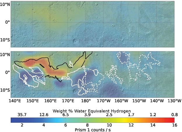
2017-09-28
Mars
2001 Mars Odyssey
Neutron Spectrometer
624x453x3
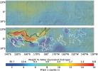
PIA21848:
Analysis Sharpens Mars Hydrogen Map, Hinting Equatorial Water Ice
Full Resolution:
TIFF
(656.4 kB)
JPEG
(53.45 kB)
2017-09-29
Mars
2001 Mars Odyssey
THEMIS
1337x2932x1
PIA21994:
Investigating Mars: Coprates Chasma
Full Resolution:
TIFF
(2.762 MB)
JPEG
(259.9 kB)
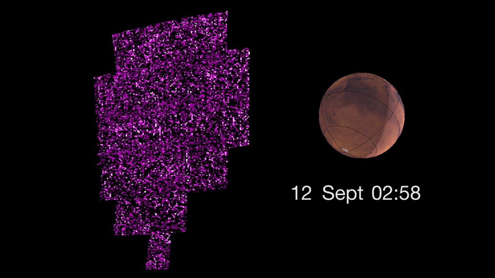
2017-09-29
Mars
MAVEN
1600x900x3
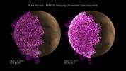
PIA21854:
Solar Storm Triggers Whole-Planet Aurora at Mars (Video)
Full Resolution:
TIFF
(912.8 kB)
JPEG
(689.2 kB)
2017-09-29
Mars
MAVEN
1920x1080x3
PIA21855:
Solar Storm Triggers Whole-Planet Aurora at Mars
Full Resolution:
TIFF
(2.885 MB)
JPEG
(272.4 kB)
2017-09-29
Mars
MAVEN
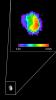
1008x1069x3
PIA21856:
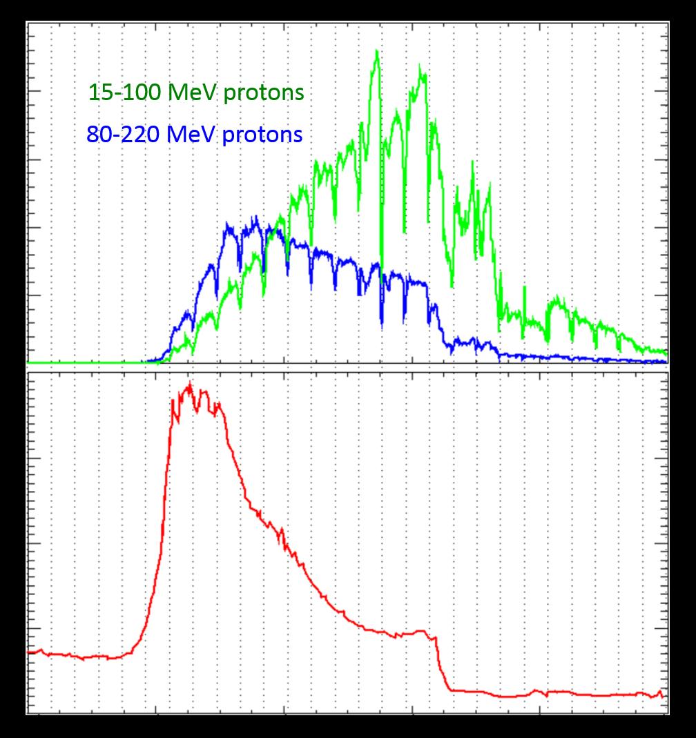
Solar Storm's Radiation at Martian Orbit and Surface
Full Resolution:
TIFF
(519.1 kB)
JPEG
(138.6 kB)
2017-09-29
Mars
MAVEN
1284x1592x1
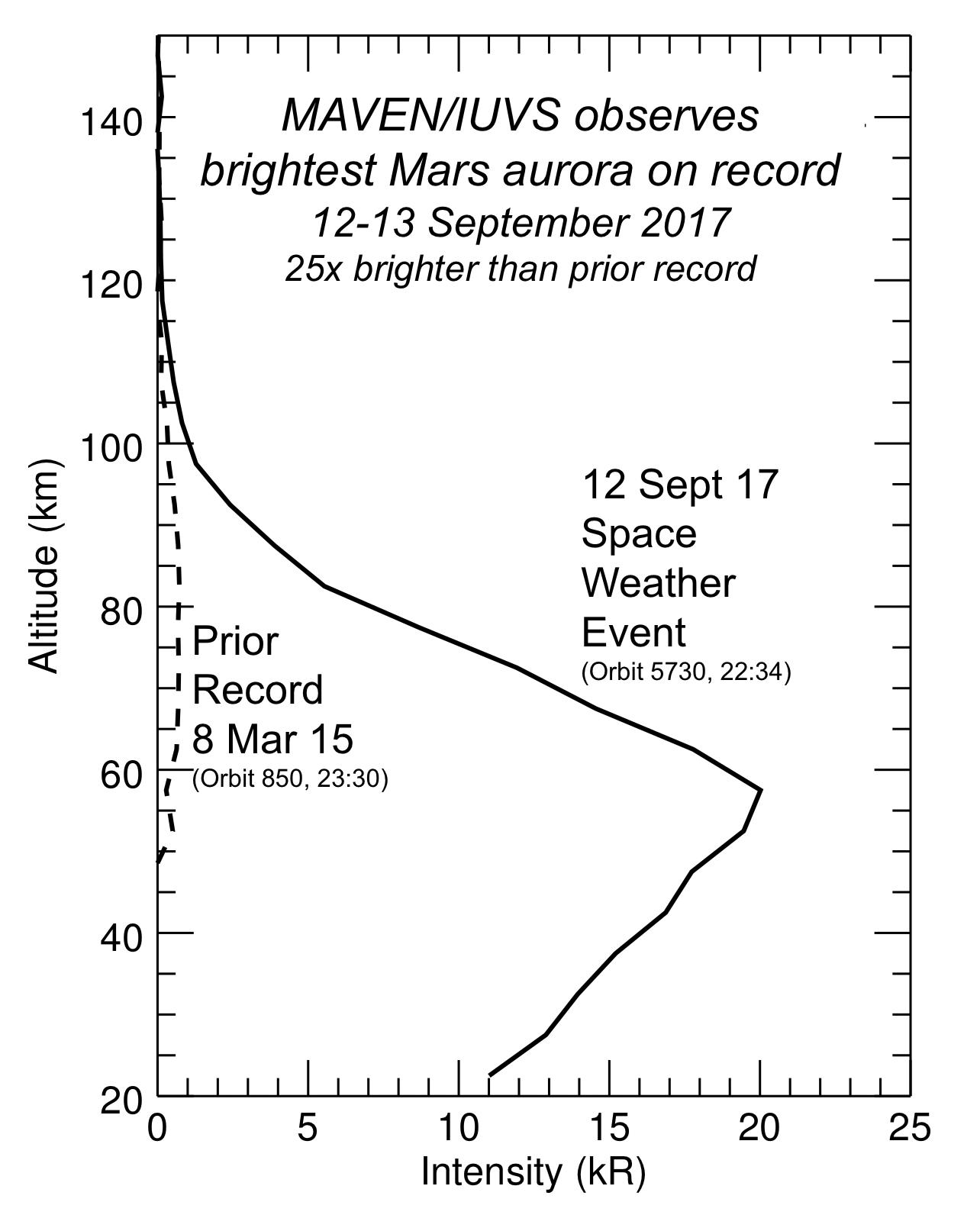
PIA21857:
Martian Aurora 25 Times Brighter Than Prior Brightest
Full Resolution:
TIFF
(193.5 kB)
JPEG
(138 kB)
2017-10-02
Mars
2001 Mars Odyssey
THEMIS
1291x2779x1
PIA21995:
Investigating Mars: Coprates Chasma
Full Resolution:
TIFF
(2.454 MB)
JPEG
(240.7 kB)
2017-10-03
Mars
2001 Mars Odyssey
THEMIS
1337x2930x1
PIA21996:
Investigating Mars: Coprates Chasma
Full Resolution:
TIFF
(2.865 MB)
JPEG
(359 kB)
2017-10-04
Mars
2001 Mars Odyssey
THEMIS
1330x2779x1
PIA21998:
Investigating Mars: Coprates Chasma
Full Resolution:
TIFF
(2.662 MB)
JPEG
(272.9 kB)
2017-10-04
Phobos
2001 Mars Odyssey
THEMIS
1488x2661x3
PIA21858:
Martian Moon Phobos in Thermal Infrared Image
Full Resolution:
TIFF
(770.6 kB)
JPEG
(128.5 kB)
2017-10-04
Phobos
2001 Mars Odyssey
THEMIS
1024x192x1
PIA21859:
Series of Images from THEMIS Scanning Phobos
Full Resolution:
TIFF
(16.29 kB)
JPEG
(3.709 kB)
2017-10-04
Phobos
2001 Mars Odyssey
THEMIS
1024x192x1
PIA22056:
Martian Moon Phobos Observed by NASA's Odyssey
Full Resolution:
TIFF
(16.29 kB)
JPEG
(3.709 kB)
2017-10-04
Phobos
2001 Mars Odyssey
THEMIS
1024x192x3
PIA22057:
Temperature Gradient on Martian Moon Phobos
Full Resolution:
TIFF
(31.38 kB)
JPEG
(5.241 kB)
2017-10-05
Mars
2001 Mars Odyssey
THEMIS
1310x2782x1
PIA21999:
Investigating Mars: Coprates Chasma
Full Resolution:
TIFF
(2.436 MB)
JPEG
(224.1 kB)
2017-10-06
Mars
2001 Mars Odyssey
THEMIS
1353x2936x1
PIA22000:
Investigating Mars: Coprates Chasma
Full Resolution:
TIFF
(2.482 MB)
JPEG
(234.4 kB)
2017-10-06
Mars
Mars Reconnaissance Orbiter (MRO)
CTX
1800x1290x1
PIA22058:
Possible Floor of an Ancient Martian Sea
Full Resolution:
TIFF
(2.325 MB)
JPEG
(490.4 kB)
2017-10-06
Mars
Mars Reconnaissance Orbiter (MRO)
1032x641x3
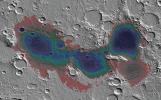
PIA22059:
Estimated Water Depths in Ancient Martian Sea
Full Resolution:
TIFF
(1.743 MB)
JPEG
(154.7 kB)
2017-10-06
Mars
Mars Reconnaissance Orbiter (MRO)
788x416x3
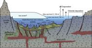
PIA22060:
A Geologic Model for Eridania Basin on Ancient Mars
Full Resolution:
TIFF
(694.9 kB)
JPEG
(76.72 kB)
2017-10-09
Mars
2001 Mars Odyssey
THEMIS
1456x2782x1
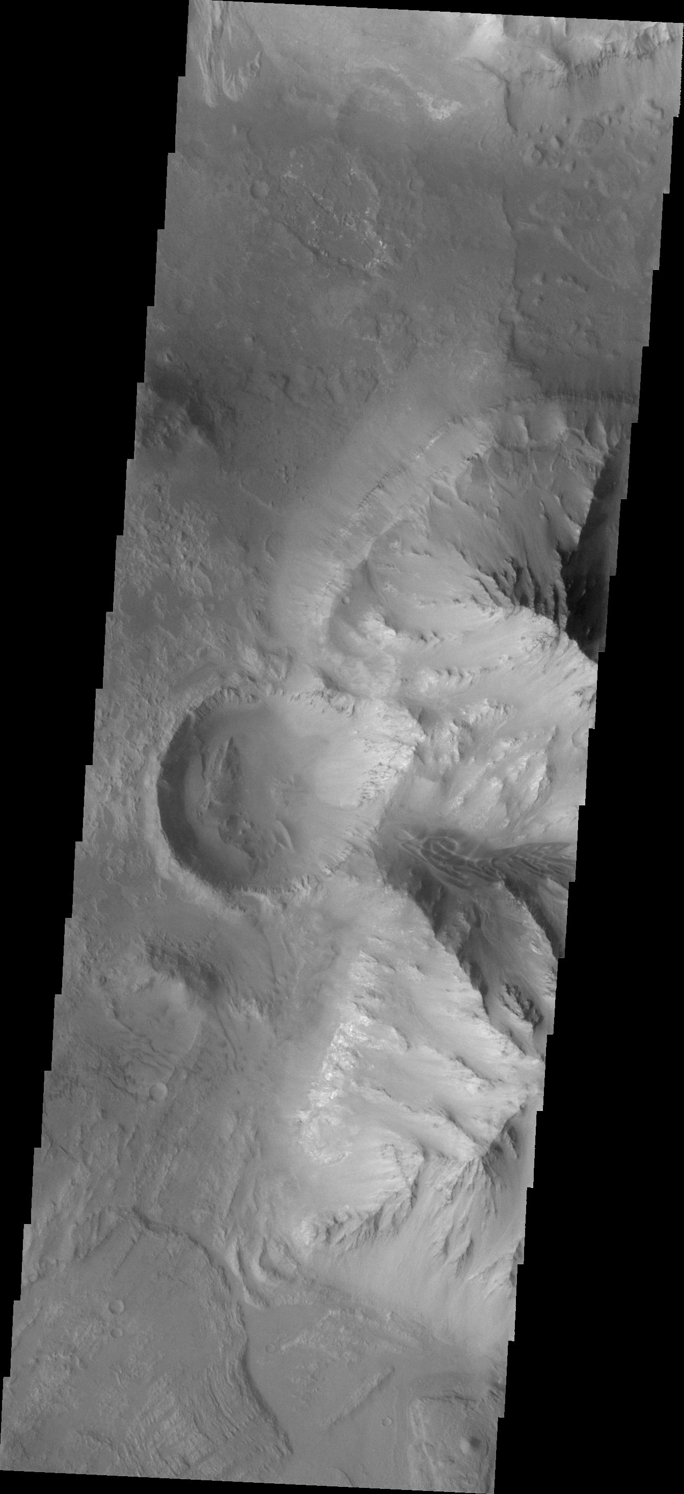
PIA22001:
Investigating Mars: Nili and Meroe Paterae
Full Resolution:
TIFF
(3.047 MB)
JPEG
(355.7 kB)
2017-10-09
Mars
Mars Reconnaissance Orbiter (MRO)
HiRISE
2880x1800x3
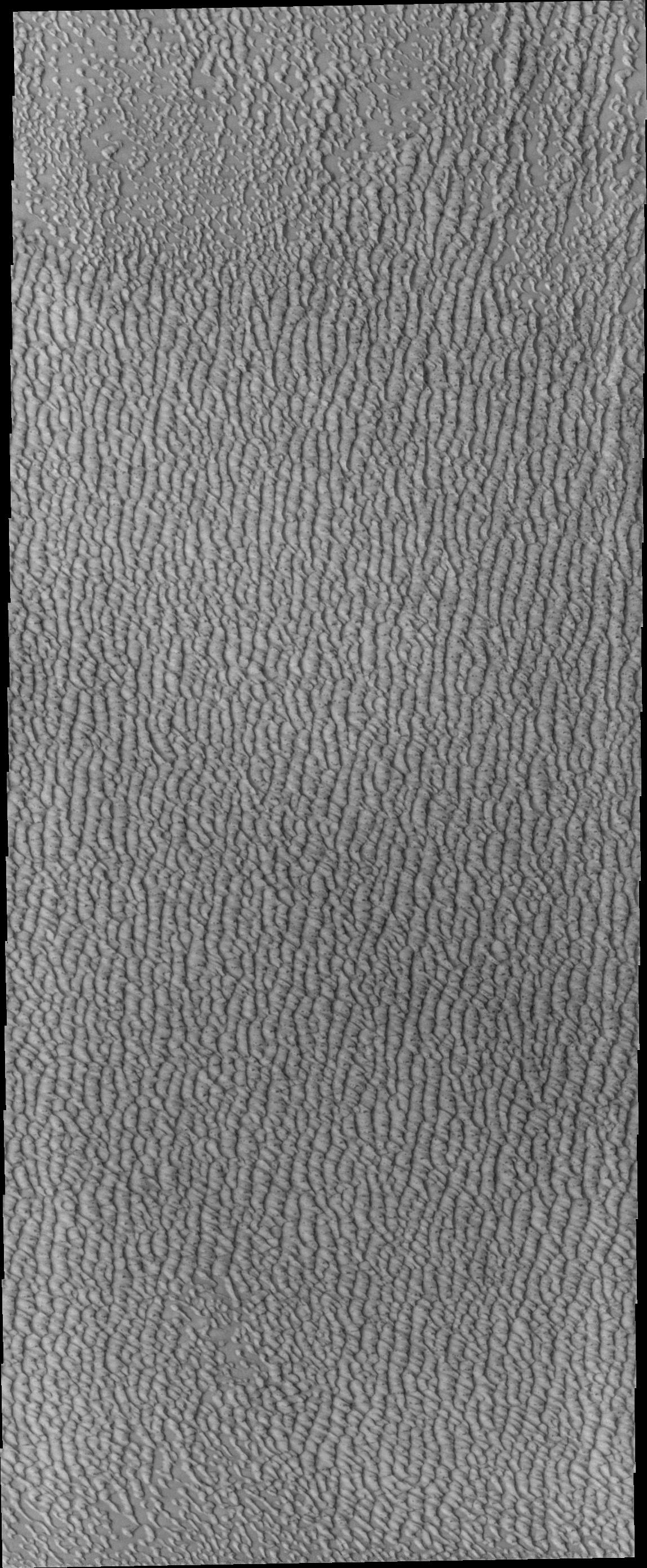
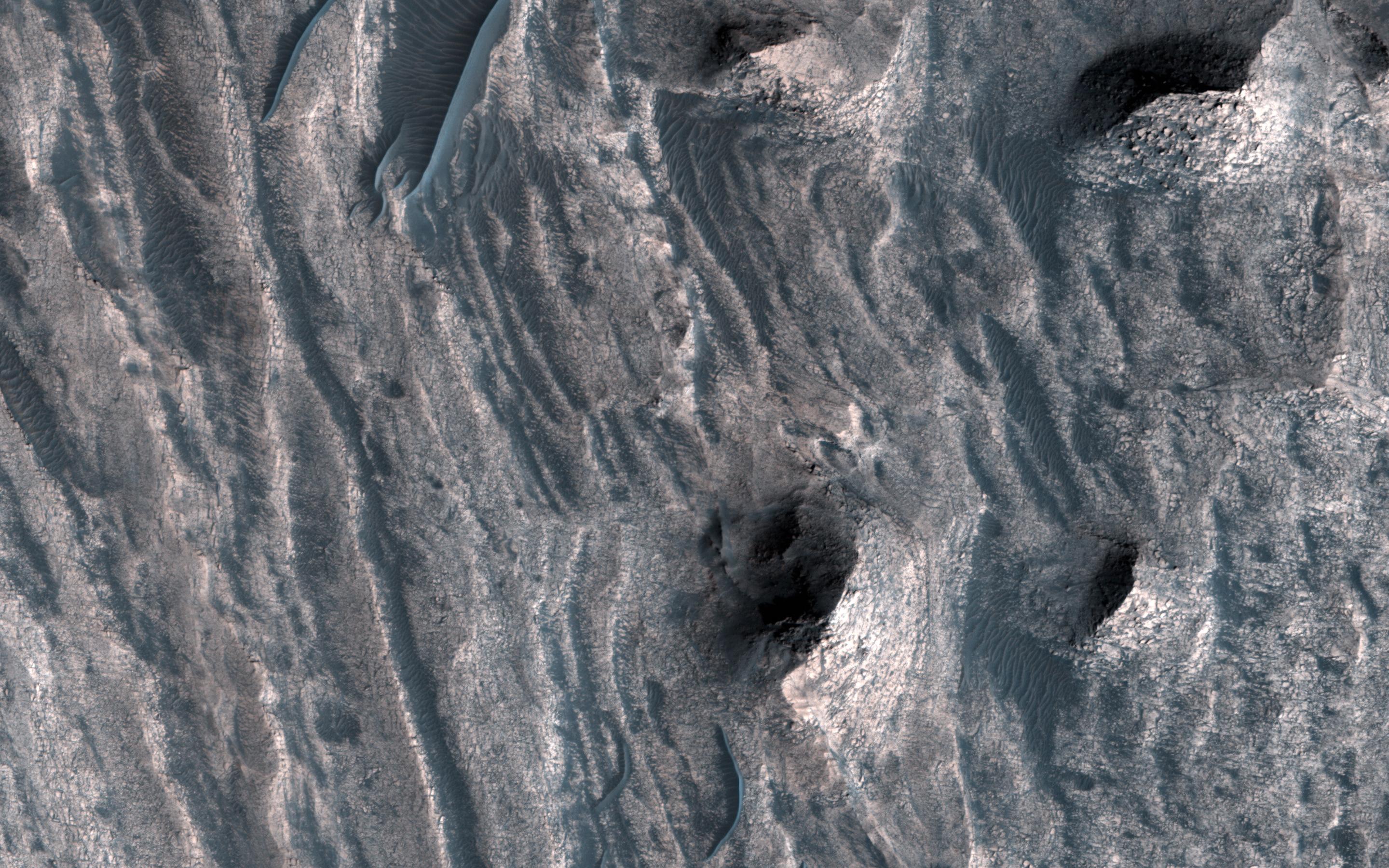
PIA22040:
Ripples and Dunes in Proctor Crater
Full Resolution:
TIFF
(15.56 MB)
JPEG
(563.2 kB)
2017-10-09
Mars
Mars Reconnaissance Orbiter (MRO)
HiRISE
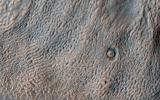
2880x1800x1
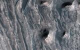
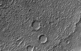
PIA22041:
A Highly Disrupted Crater
Full Resolution:
TIFF
(5.191 MB)
JPEG
(999.4 kB)
2017-10-09
Mars
Mars Reconnaissance Orbiter (MRO)
HiRISE
2880x1800x3
PIA22042:
Decoding a Dark Splotch
Full Resolution:
TIFF
(15.56 MB)
JPEG
(735.1 kB)
2017-10-09
Mars
Mars Reconnaissance Orbiter (MRO)
HiRISE
2880x1800x3
PIA22043:
Where Does the Sand Come From?
Full Resolution:
TIFF
(13.98 MB)
JPEG
(492.1 kB)
2017-10-10
Mars
2001 Mars Odyssey
THEMIS
1540x2791x1
PIA22002:
Investigating Mars: Nili and Meroe Paterae
Full Resolution:
TIFF
(3.55 MB)
JPEG
(468.1 kB)
2017-10-11
Mars
2001 Mars Odyssey
THEMIS
1335x2770x1
PIA22003:
Investigating Mars: Nili and Meroe Paterae
Full Resolution:
TIFF
(2.682 MB)
JPEG
(295.9 kB)
2017-10-12
Mars
2001 Mars Odyssey
THEMIS
1337x2770x1
PIA22004:
Investigating Mars: Nili and Meroe Paterae
Full Resolution:
TIFF
(2.647 MB)
JPEG
(298.3 kB)
2017-10-13
Mars
2001 Mars Odyssey
THEMIS
1334x2770x1
PIA22005:
Investigating Mars: Nili and Meroe Paterae
Full Resolution:
TIFF
(2.682 MB)
JPEG
(316.8 kB)
2017-10-16
Mars
2001 Mars Odyssey
THEMIS
1337x2769x1
PIA22006:
Investigating Mars: Nili and Meroe Paterae
Full Resolution:
TIFF
(2.95 MB)
JPEG
(399.9 kB)
2017-10-17
Mars
2001 Mars Odyssey
THEMIS
1334x2770x1
PIA22007:
Investigating Mars: Nili and Meroe Paterae
Full Resolution:
TIFF
(2.751 MB)
JPEG
(333.5 kB)
2017-10-18
Mars
2001 Mars Odyssey
THEMIS
694x1540x3
PIA22008:
Investigating Mars: Nili and Meroe Paterae
Full Resolution:
TIFF
(2.168 MB)
JPEG
(103.6 kB)
2017-10-19
Mars
2001 Mars Odyssey
THEMIS
701x1543x3
PIA22009:
Investigating Mars: Nili and Meroe Paterae
Full Resolution:
TIFF
(2.24 MB)
JPEG
(117.5 kB)
2017-10-20
Mars
2001 Mars Odyssey
THEMIS
1368x3056x1
PIA22010:
Investigating Mars: Nili and Meroe Paterae
Full Resolution:
TIFF
(3.392 MB)
JPEG
(564 kB)
2017-10-23
Mars
2001 Mars Odyssey
THEMIS
1380x3224x1
PIA22011:
Investigating Mars: Nili and Meroe Paterae
Full Resolution:
TIFF
(3.323 MB)
JPEG
(486.4 kB)
2017-10-23
Mars
Mars Science Laboratory (MSL)
1024x512x1
PIA22063:
Mars Rover Step Toward Possible Resumption of Drilling
Full Resolution:
TIFF
(525 kB)
JPEG
(84.28 kB)
2017-10-23
Mars
Mars Reconnaissance Orbiter (MRO)
HiRISE
2880x1800x3
PIA22051:
A Window into the Past
Full Resolution:
TIFF
(15.41 MB)
JPEG
(891.8 kB)
2017-10-23
Mars
Mars Reconnaissance Orbiter (MRO)
HiRISE
2880x1800x3
PIA22052:
Squiggles in Hellas Planitia
Full Resolution:
TIFF
(15.56 MB)
JPEG
(1.15 MB)
2017-10-23
Mars
Mars Reconnaissance Orbiter (MRO)
HiRISE
2880x1800x3
PIA22053:
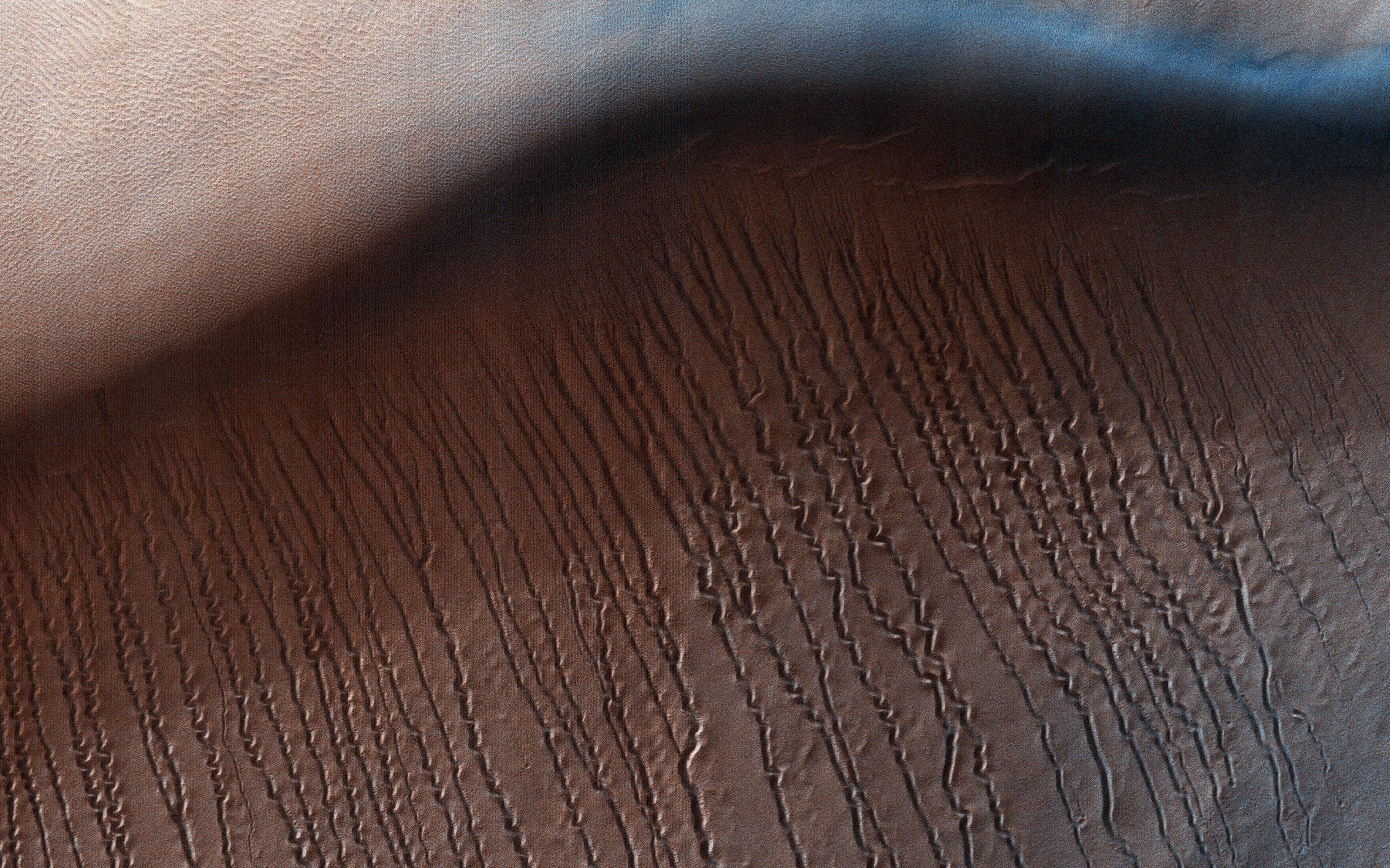
Defrosting Dunes within Chasma Boreale
Full Resolution:
TIFF
(14.4 MB)
JPEG
(610.2 kB)
2017-10-23
Mars
Mars Reconnaissance Orbiter (MRO)
HiRISE
2880x1800x3
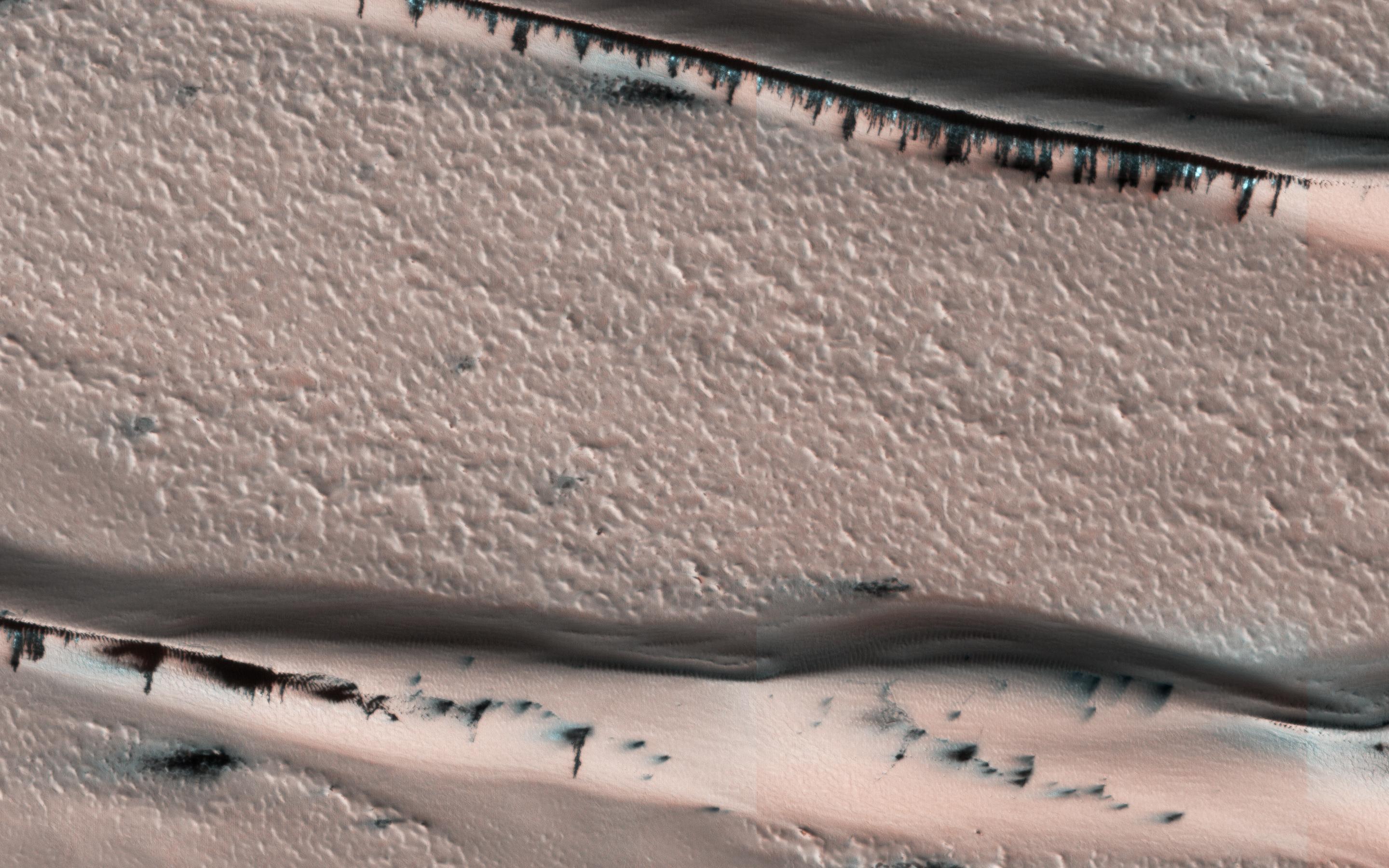
PIA22054:
The Evolution of Gully Features in Acidalia Planitia
Full Resolution:
TIFF
(15.56 MB)
JPEG
(1.309 MB)
2017-10-24
Mars
2001 Mars Odyssey
THEMIS
1395x3220x1
PIA22012:
Investigating Mars: Nili and Meroe Paterae
Full Resolution:
TIFF
(3.015 MB)
JPEG
(355.7 kB)
2017-10-25
Mars
2001 Mars Odyssey
THEMIS
675x1457x1
PIA22013:
Investigating Mars: Nili and Meroe Paterae
Full Resolution:
TIFF
(824.7 kB)
JPEG
(120.8 kB)
2017-10-26
Mars
2001 Mars Odyssey
THEMIS
699x1542x1
PIA22014:
Investigating Mars: Nili and Meroe Paterae
Full Resolution:
TIFF
(850 kB)
JPEG
(150.8 kB)
2017-10-27
Mars
2001 Mars Odyssey
THEMIS
614x2704x3
PIA22015:
Investigating Mars: Nili and Meroe Paterae
Full Resolution:
TIFF
(2.302 MB)
JPEG
(130.5 kB)
2017-10-30
Mars
2001 Mars Odyssey
THEMIS
1361x3223x1
PIA22016:
Investigating Mars: Pavonis Mons
Full Resolution:
TIFF
(3.011 MB)
JPEG
(344.3 kB)
2017-10-31
Mars
2001 Mars Odyssey
THEMIS
1345x3222x1
PIA22017:
Investigating Mars: Pavonis Mons
Full Resolution:
TIFF
(3.249 MB)
JPEG
(380.1 kB)
2017-11-01
Mars
2001 Mars Odyssey
THEMIS
1312x2917x1
PIA22018:
Investigating Mars: Pavonis Mons
Full Resolution:
TIFF
(2.957 MB)
JPEG
(408.8 kB)
2017-11-01
Mars
Mars Science Laboratory (MSL)
MAHLI
1198x1609x3
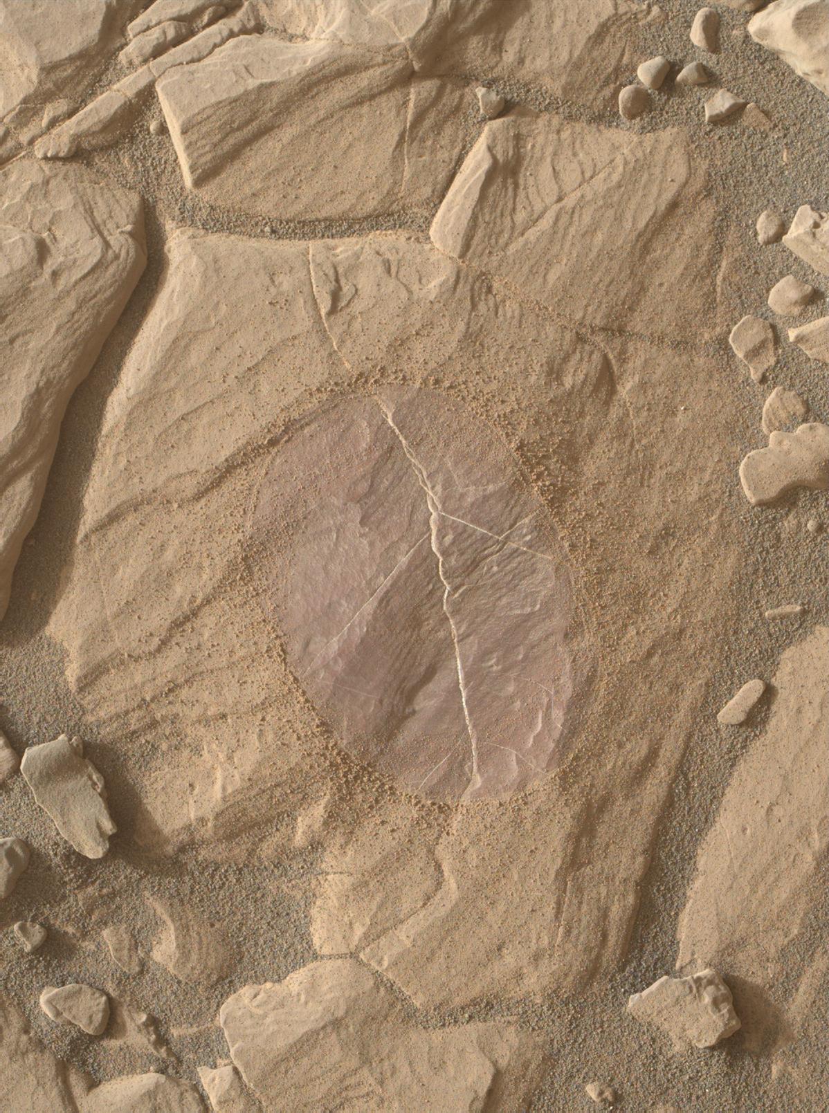
PIA22064:
Dust Removal Target on 'Vera Rubin Ridge'
Full Resolution:
TIFF
(5.785 MB)
JPEG
(400.9 kB)
2017-11-01
Mars
Mars Science Laboratory (MSL)
Mastcam
6690x3024x3
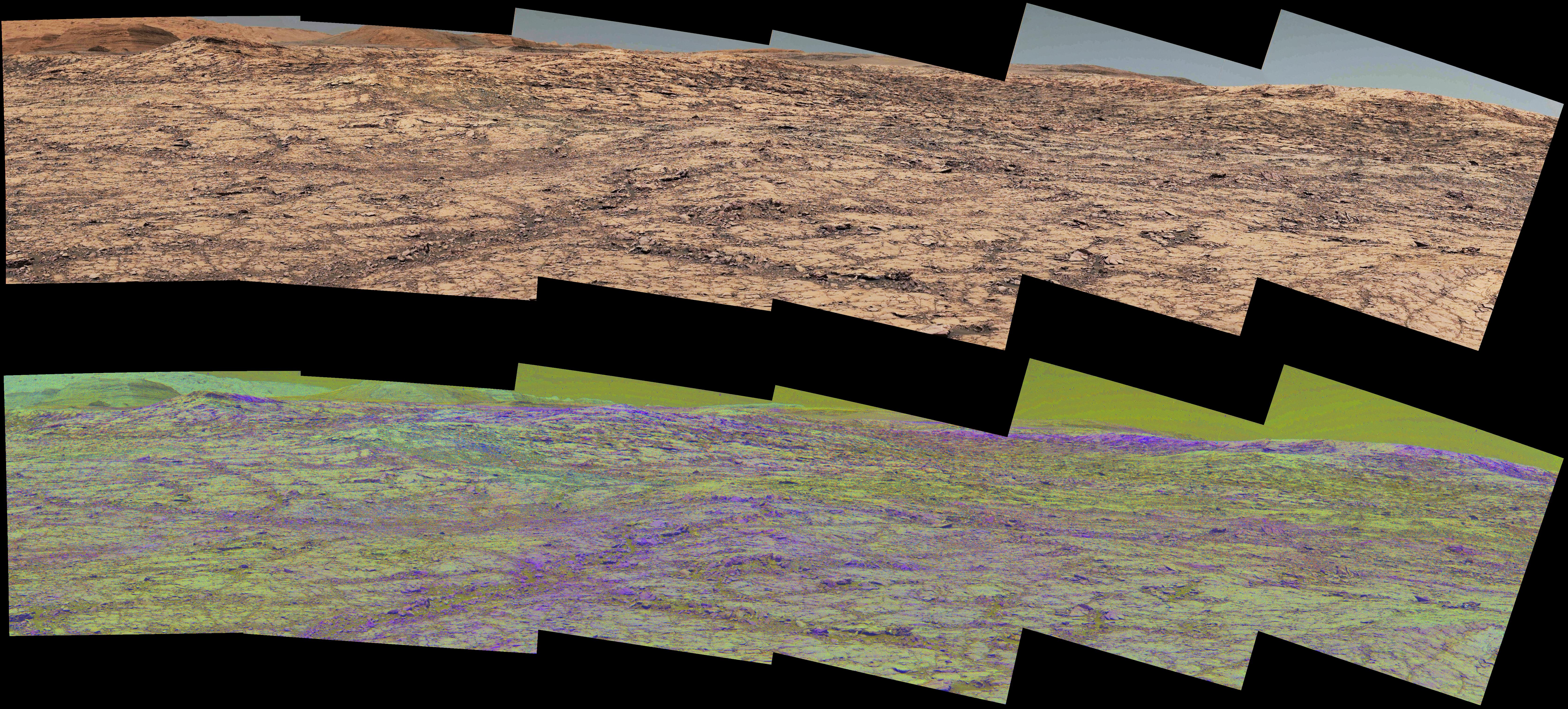
PIA22065:
Mastcam Special Filters Help Locate Variations Ahead
Full Resolution:
TIFF
(53.49 MB)
JPEG
(4.335 MB)
2017-11-01
Mars
Mars Science Laboratory (MSL)
Mastcam
1260x1123x3
PIA22066:
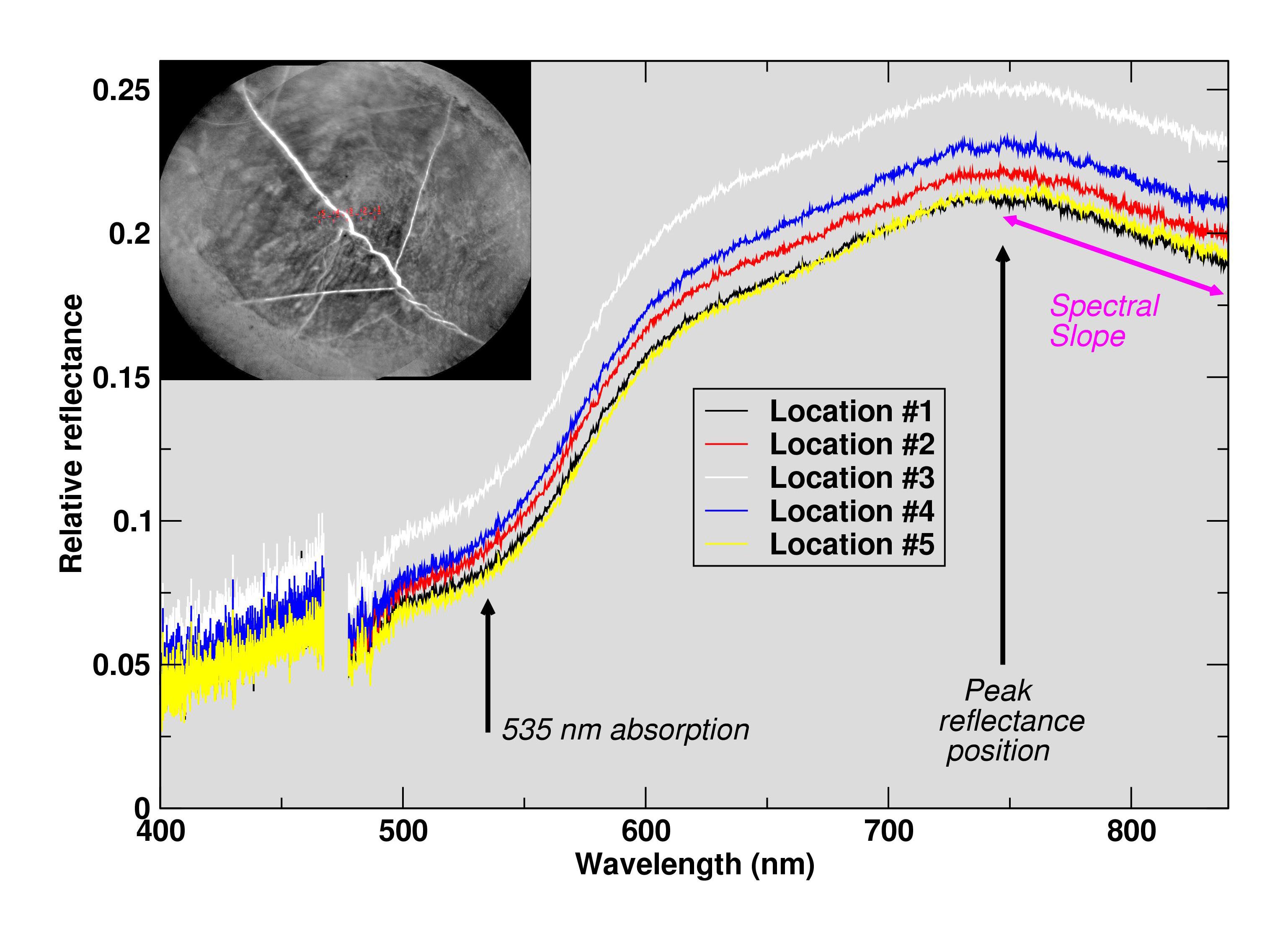
Science-Filters Study of Martian Rock Sees Hematite
Full Resolution:
TIFF
(4.247 MB)
JPEG
(266.4 kB)
2017-11-01
Mars
Mars Science Laboratory (MSL)
Mastcam
1328x1184x3
PIA22067:
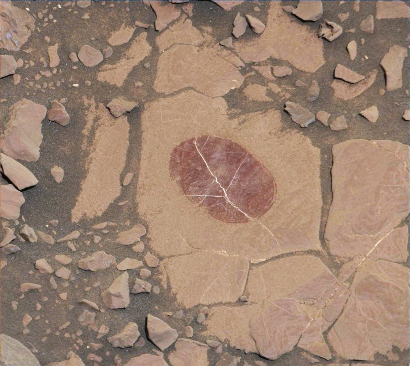
Curiosity Checks Under the Dust on a Martian Rock
Full Resolution:
TIFF
(4.719 MB)
JPEG
(179.5 kB)
2017-11-01
Mars
Mars Science Laboratory (MSL)
ChemCam
3075x2233x3
PIA22068:
Curiosity's ChemCam Checks 'Christmas Cove' Colors
Full Resolution:
TIFF
(3.576 MB)
JPEG
(458.1 kB)
2017-11-02
Mars
2001 Mars Odyssey
THEMIS
1290x2766x1
PIA22020:
Investigating Mars: Pavonis Mons
Full Resolution:
TIFF
(2.325 MB)
JPEG
(223.3 kB)
2017-11-03
Mars
2001 Mars Odyssey
THEMIS
1293x2910x1
PIA22021:
Investigating Mars: Pavonis Mons
Full Resolution:
TIFF
(3.002 MB)
JPEG
(370.8 kB)
2017-11-06
Mars
2001 Mars Odyssey
THEMIS
1275x2758x1
PIA22022:
Investigating Mars: Pavonis Mons
Full Resolution:
TIFF
(2.994 MB)
JPEG
(539.5 kB)
2017-11-07
Mars
2001 Mars Odyssey
THEMIS
1280x2905x1
PIA22023:
Investigating Mars: Pavonis Mons
Full Resolution:
TIFF
(2.276 MB)
JPEG
(194.1 kB)
2017-11-08
Mars
2001 Mars Odyssey
THEMIS
1288x2764x1
PIA22024:
Investigating Mars: Pavonis Mons
Full Resolution:
TIFF
(2.308 MB)
JPEG
(190.3 kB)
2017-11-09
Mars
2001 Mars Odyssey
THEMIS
1286x2765x1
PIA22025:
Investigating Mars: Pavonis Mons
Full Resolution:
TIFF
(2.385 MB)
JPEG
(219.5 kB)
2017-11-10
Mars
2001 Mars Odyssey
THEMIS
1373x2938x1
PIA22026:
Investigating Mars: Pavonis Mons
Full Resolution:
TIFF
(2.507 MB)
JPEG
(204.9 kB)
2017-11-13
Mars
2001 Mars Odyssey
THEMIS
1449x3225x1
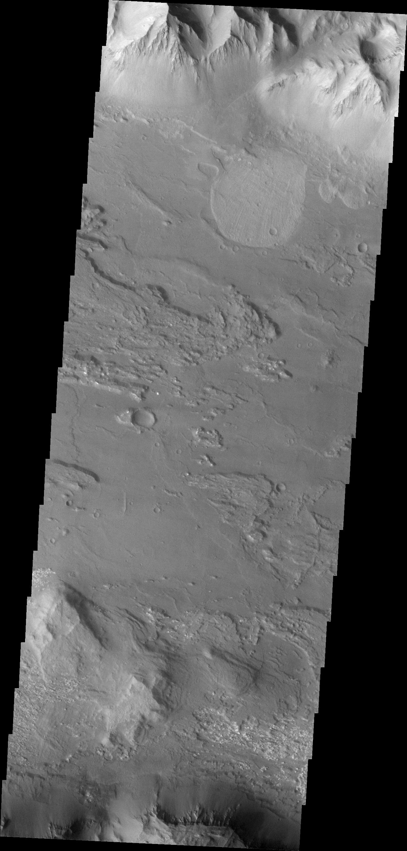
PIA22027:
Investigating Mars: Moreux Crater
Full Resolution:
TIFF
(2.554 MB)
JPEG
(277.4 kB)
2017-11-14
Mars
2001 Mars Odyssey
THEMIS
1373x2782x1
PIA22028:
Investigating Mars: Moreux Crater
Full Resolution:
TIFF
(2.781 MB)
JPEG
(276.9 kB)
2017-11-15
Mars
2001 Mars Odyssey
THEMIS
1375x2781x1
PIA22029:
Investigating Mars: Moreux Crater
Full Resolution:
TIFF
(2.839 MB)
JPEG
(285.5 kB)
2017-11-16
Mars
2001 Mars Odyssey
THEMIS
1381x2778x1
PIA22030:
Investigating Mars: Moreux Crater
Full Resolution:
TIFF
(2.239 MB)
JPEG
(181.7 kB)
2017-11-17
Mars
2001 Mars Odyssey
THEMIS
1385x2782x1
PIA22031:
Investigating Mars: Moreux Crater
Full Resolution:
TIFF
(2.452 MB)
JPEG
(231.3 kB)
2017-11-17
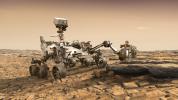
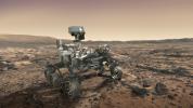
Mars
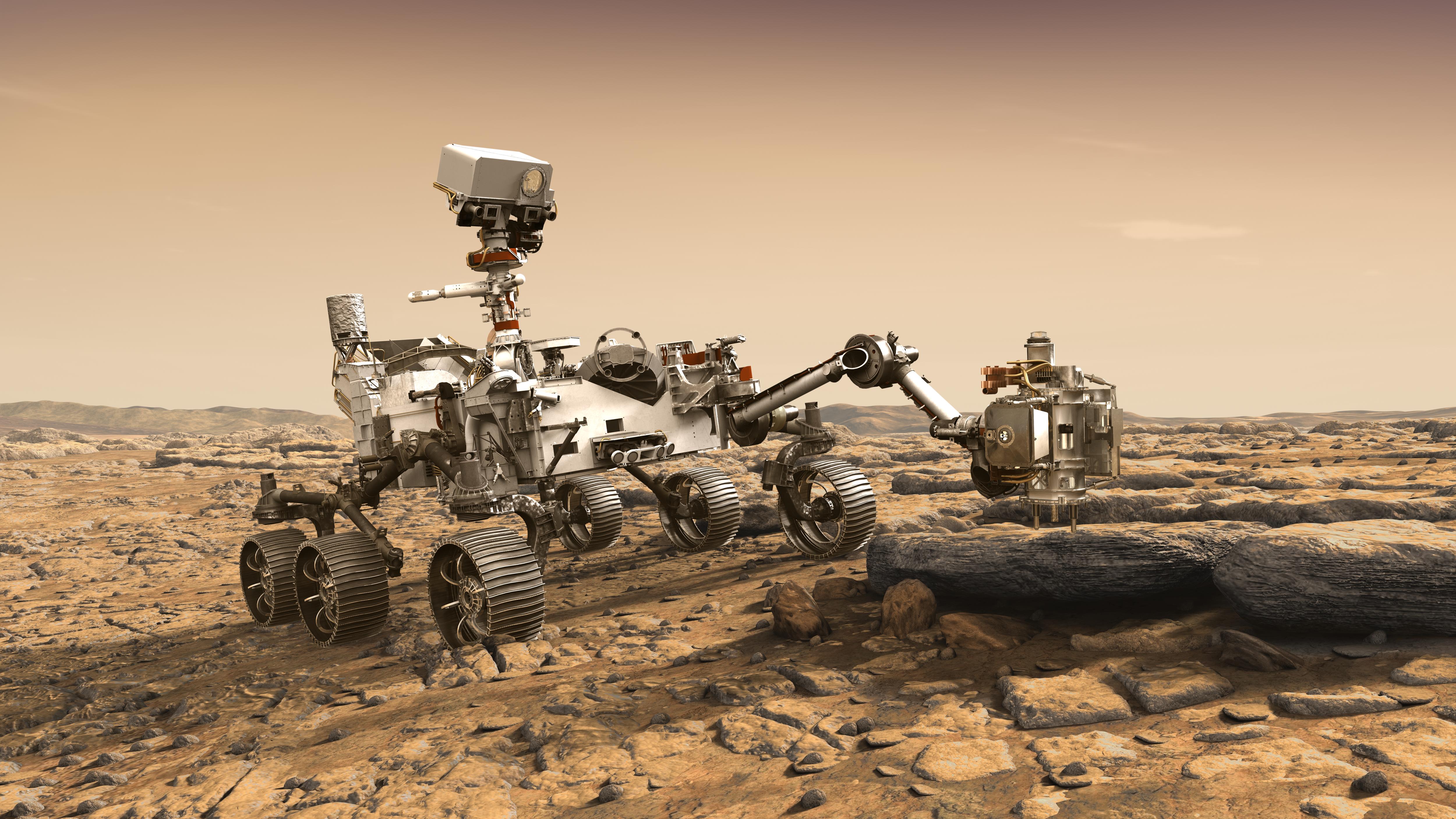
Mars 2020 Rover
5000x2813x3
PIA22105:
NASA's Mars 2020 Rover Artist's Concept #2
Full Resolution:
TIFF
(28.75 MB)
JPEG
(1.585 MB)
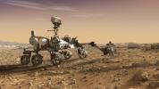
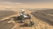
2017-11-17
Mars
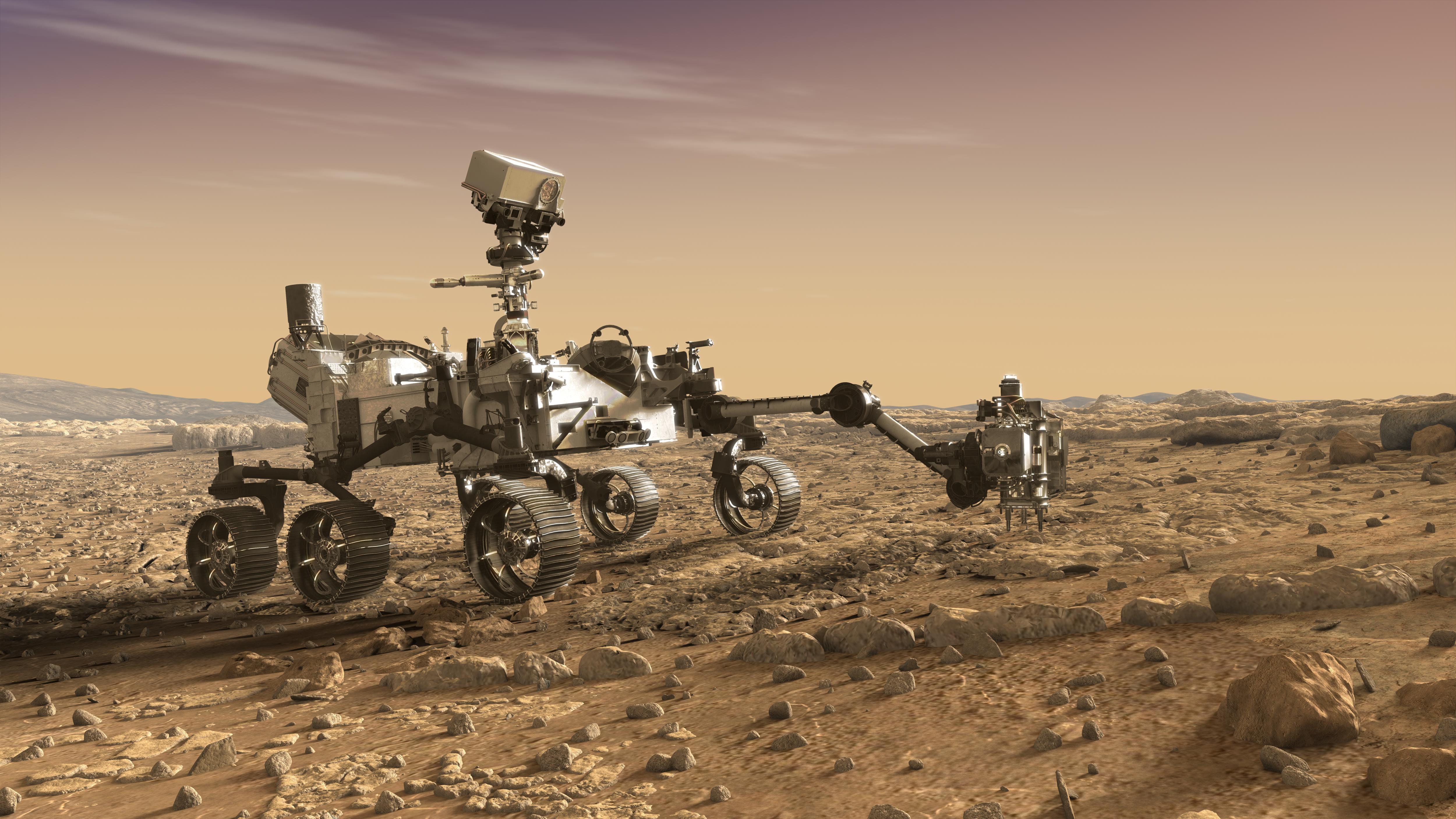
Mars 2020 Rover
5000x2813x3
PIA22106:
NASA's Mars 2020 Rover Artist's Concept #3
Full Resolution:
TIFF
(27.81 MB)
JPEG
(1.439 MB)
2017-11-17
Mars
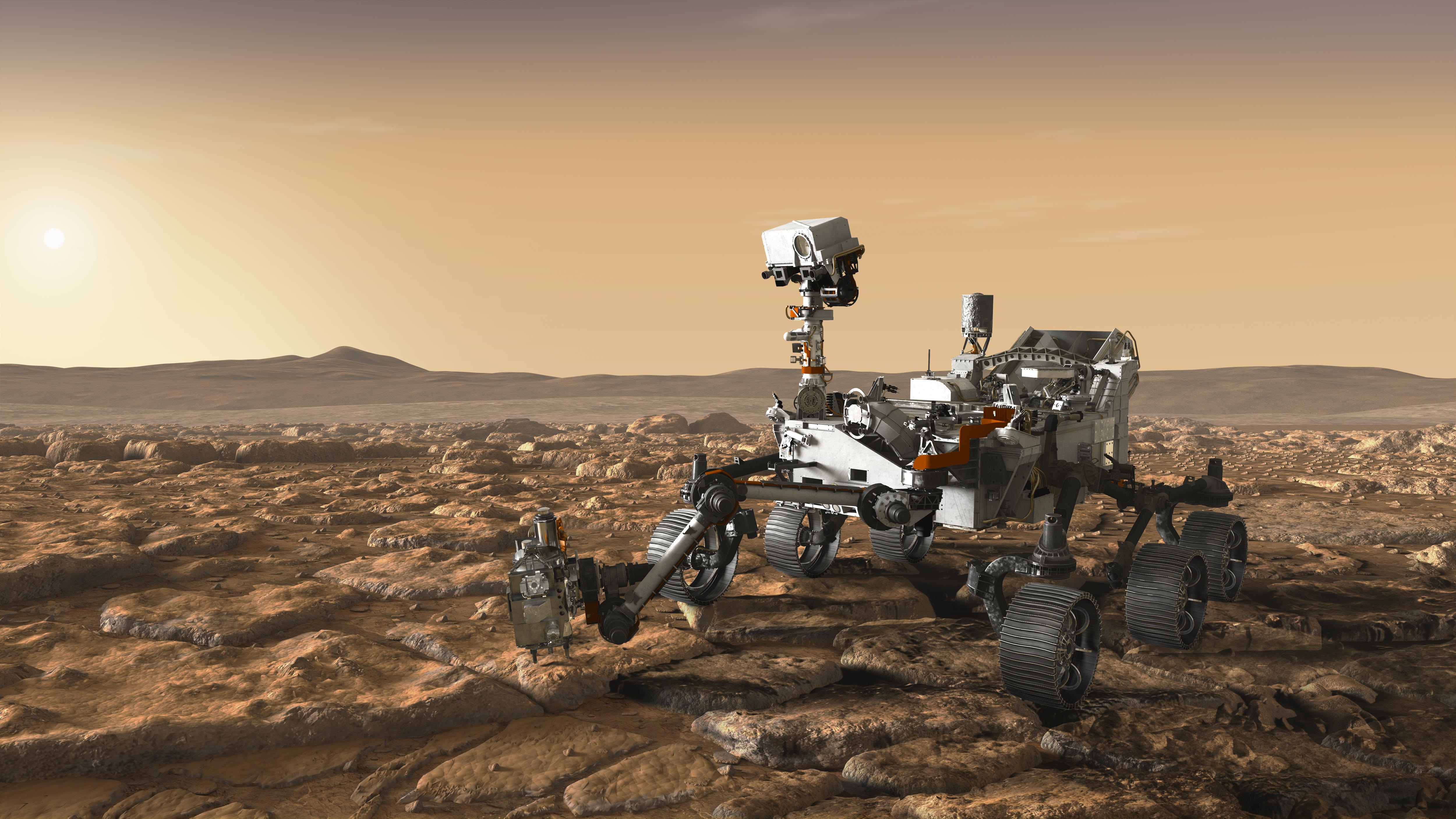
Mars 2020 Rover
5000x2813x3
PIA22107:
NASA's Mars 2020 Rover Artist's Concept #4
Full Resolution:
TIFF
(26.59 MB)
JPEG
(1.352 MB)
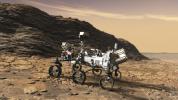
2017-11-17
Mars
Mars 2020 Rover
5000x2813x3
PIA22108:
NASA's Mars 2020 Rover Artist's Concept #5
Full Resolution:
TIFF
(31.19 MB)
JPEG
(1.95 MB)
2017-11-17
Mars
Mars 2020 Rover
5000x2813x3
PIA22109:
NASA's Mars 2020 Rover Artist's Concept #6
Full Resolution:
TIFF
(28.93 MB)
JPEG
(1.625 MB)
2017-11-17
Mars
Mars 2020 Rover
5000x2813x3
PIA22110:
NASA's Mars 2020 Rover Artist's Concept #7
Full Resolution:
TIFF
(28.03 MB)
JPEG
(1.7 MB)
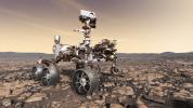
2017-11-17
Mars
Mars 2020 Rover
5000x2813x3
PIA22111:
NASA's Mars 2020 Rover Artist's Concept #1 (Updated)
Full Resolution:
TIFF
(31.7 MB)
JPEG
(1.908 MB)
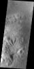
2017-11-20
Mars
Mars Reconnaissance Orbiter (MRO)
HiRISE
1201x900x3
PIA22070:
Seasonal Dark Streaks in Tivat Crater, Mars
Full Resolution:
TIFF
(3.007 MB)
JPEG
(128.9 kB)
2017-11-20
Mars
2001 Mars Odyssey
THEMIS
1384x2781x1
PIA22032:
Investigating Mars: Moreux Crater
Full Resolution:
TIFF
(2.942 MB)
JPEG
(309.6 kB)
2017-11-20
Mars
Mars Reconnaissance Orbiter (MRO)
HiRISE
2880x1800x3
PIA22114:
Transient Slope Lineae Formation in a Well-Preserved Crater
Full Resolution:
TIFF
(15.56 MB)
JPEG
(1.073 MB)
2017-11-20
Mars
Mars Reconnaissance Orbiter (MRO)
HiRISE
2880x1800x1
PIA22115:
Fifty Years of Mars Imaging: from Mariner 4 to HiRISE
Full Resolution:
TIFF
(5.191 MB)
JPEG
(1.309 MB)
2017-11-21
Mars
2001 Mars Odyssey
THEMIS
1379x2780x1
PIA22033:
Investigating Mars: Moreux Crater
Full Resolution:
TIFF
(2.598 MB)
JPEG
(247.9 kB)
2017-11-22
Mars
2001 Mars Odyssey
THEMIS
756x1690x3
PIA22035:
Investigating Mars: Moreux Crater
Full Resolution:
TIFF
(2.511 MB)
JPEG
(95.42 kB)
2017-11-23
Mars
2001 Mars Odyssey
THEMIS
754x1691x3
PIA22126:
Investigating Mars: Moreux Crater
Full Resolution:
TIFF
(2.548 MB)
JPEG
(117.8 kB)
2017-11-24
Mars
2001 Mars Odyssey
THEMIS
719x1564x3
PIA22127:
Investigating Mars: Moreux Crater
Full Resolution:
TIFF
(2.211 MB)
JPEG
(80.98 kB)
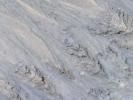
2017-11-27
Mars
2001 Mars Odyssey
THEMIS
1396x3233x1
PIA22128:
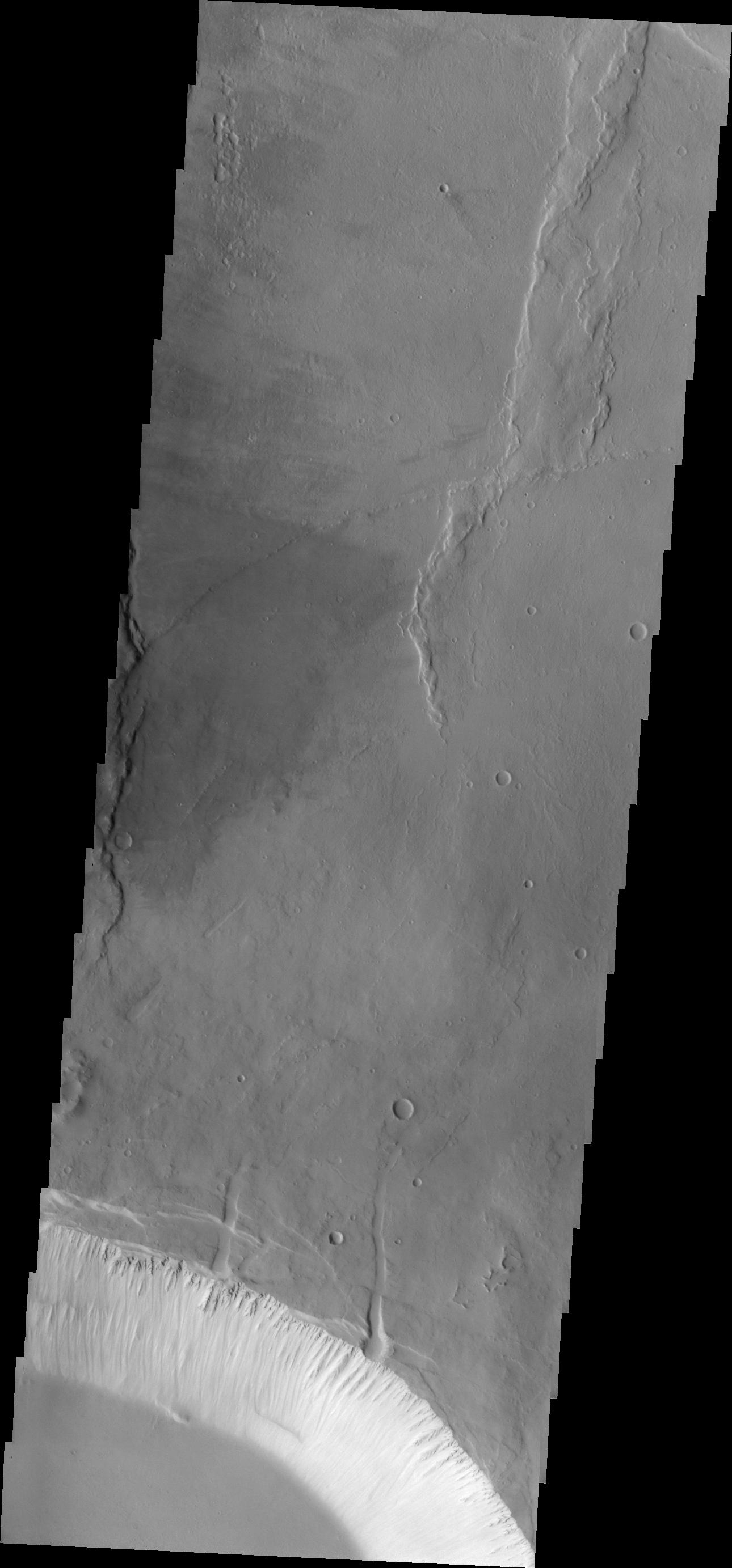
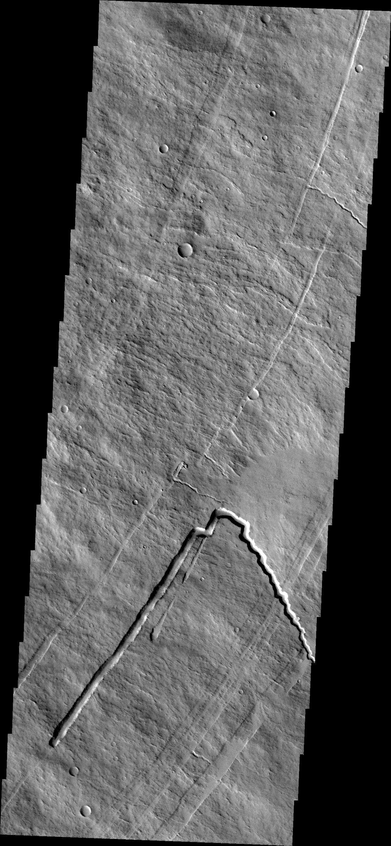
Investigating Mars: Melas Chasma
Full Resolution:
TIFF
(2.922 MB)
JPEG
(287.4 kB)
1-100
101-200
201-300
301-400
401-500
501-600
601-700
701-800
801-900
901-1000
Currently displaying images:
10101 - 10200
of 12760


