My
List |
Addition Date
|
Target
|
Mission
|
Instrument
|
Size
|

|
1996-02-05 |
Venus
|
Magellan
|
Imaging Radar
|
1024x1250x1 |
|
-
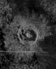
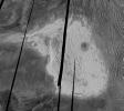
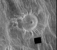
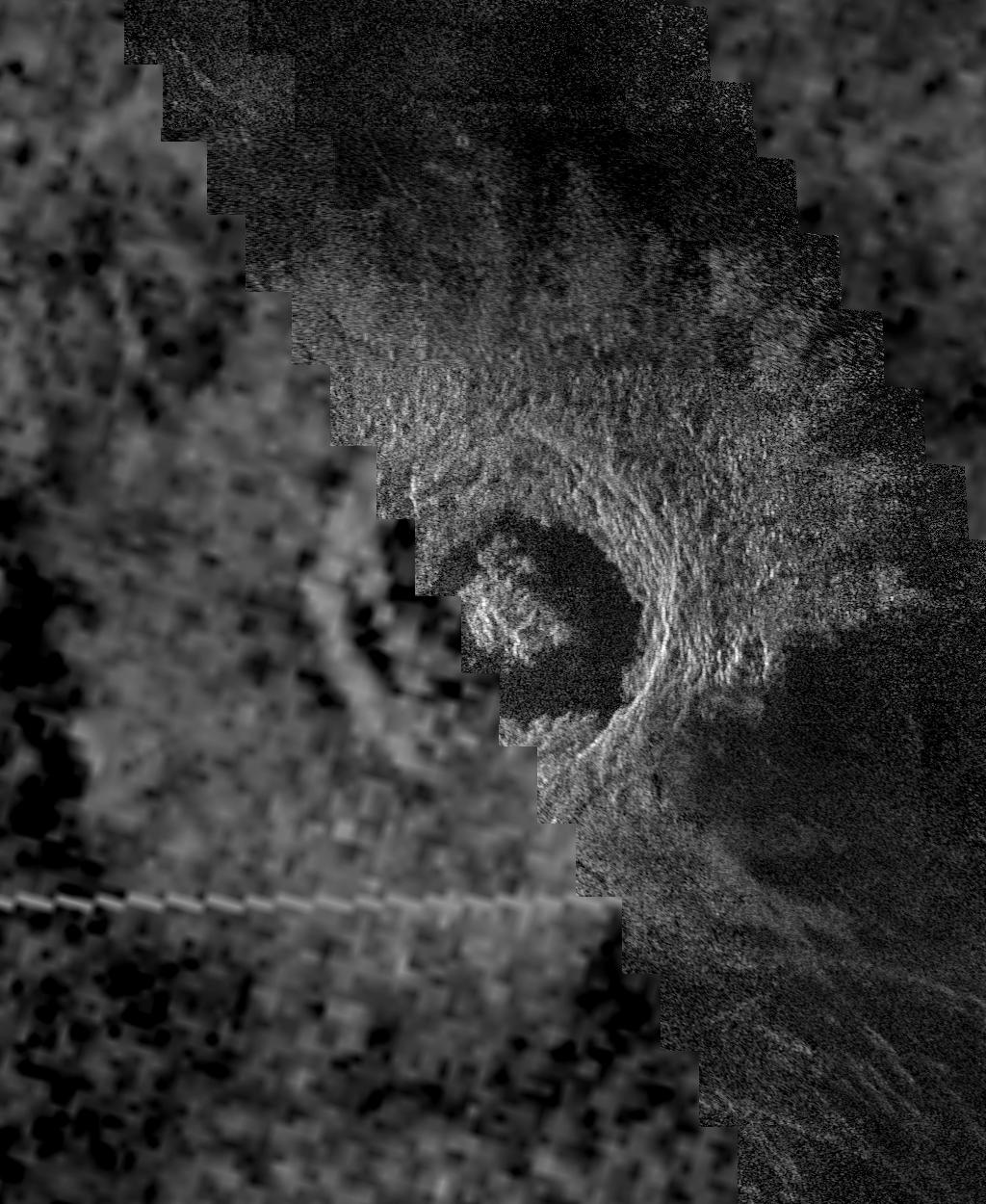
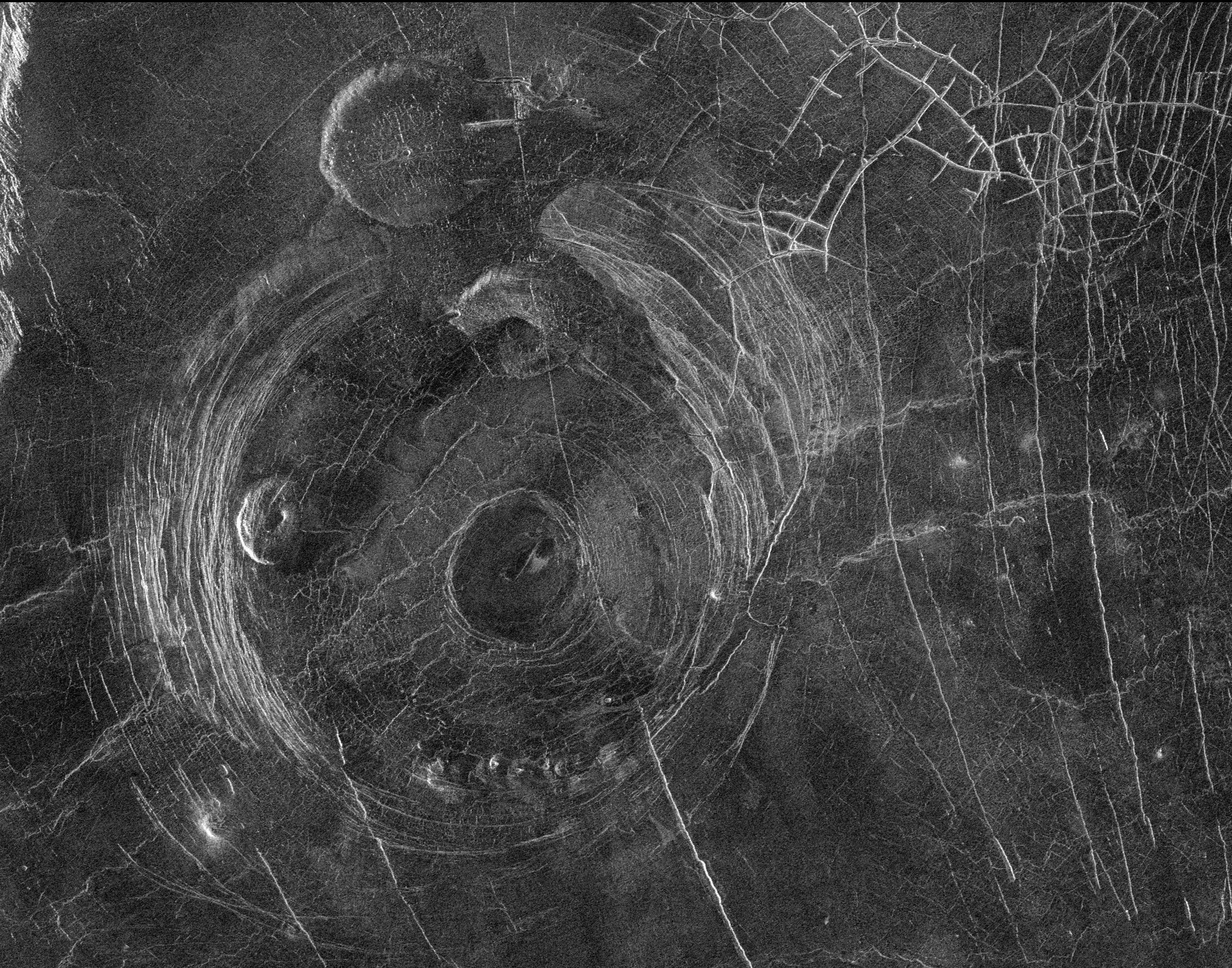
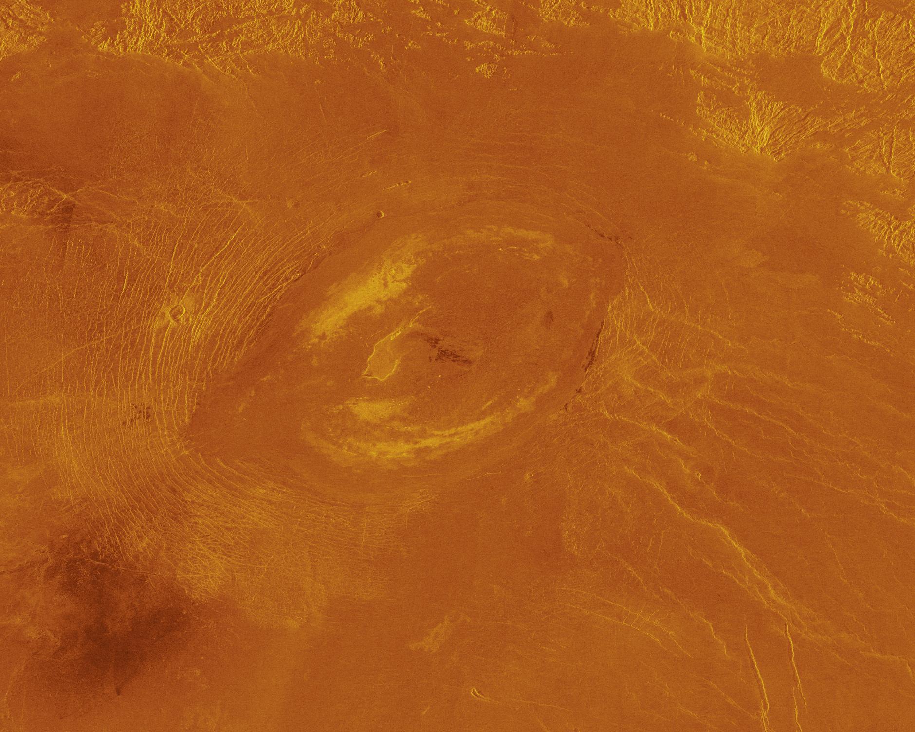
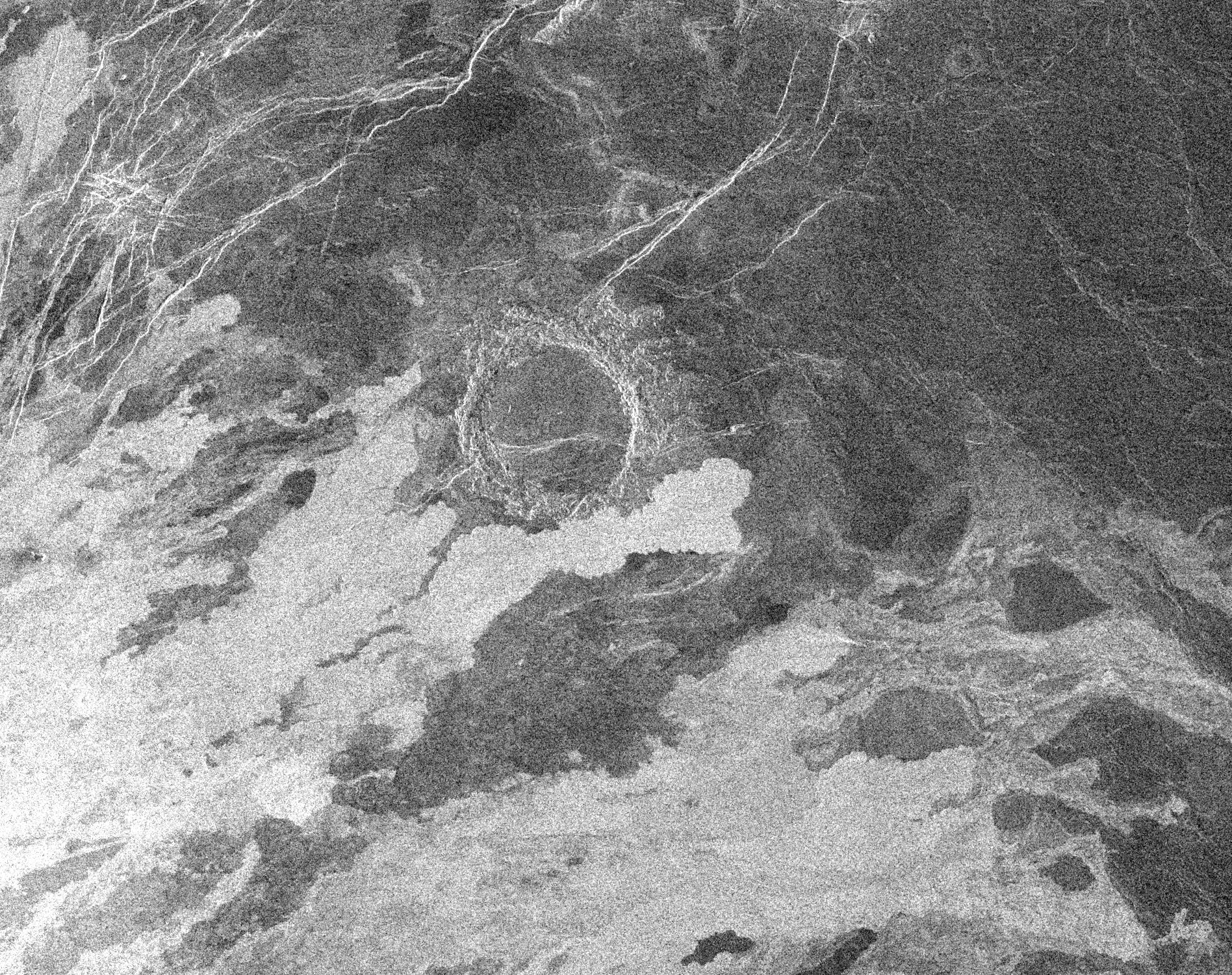
PIA00210:
-
Venus - Golubkina Crater
Full Resolution:
TIFF
(970.5 kB)
JPEG
(204.3 kB)
|
|
|
1996-02-05 |
Venus
|
Magellan
|
Imaging Radar
|
1024x1024x1 |
|
-
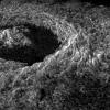
PIA00209:
-
Venus - 3-D Perspective of Golubkina Crater
Full Resolution:
TIFF
(659.7 kB)
JPEG
(162.2 kB)
|
|
|
1996-02-05 |
Venus
|
Magellan
|
Imaging Radar
|
2000x2000x1 |
|
-
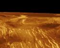
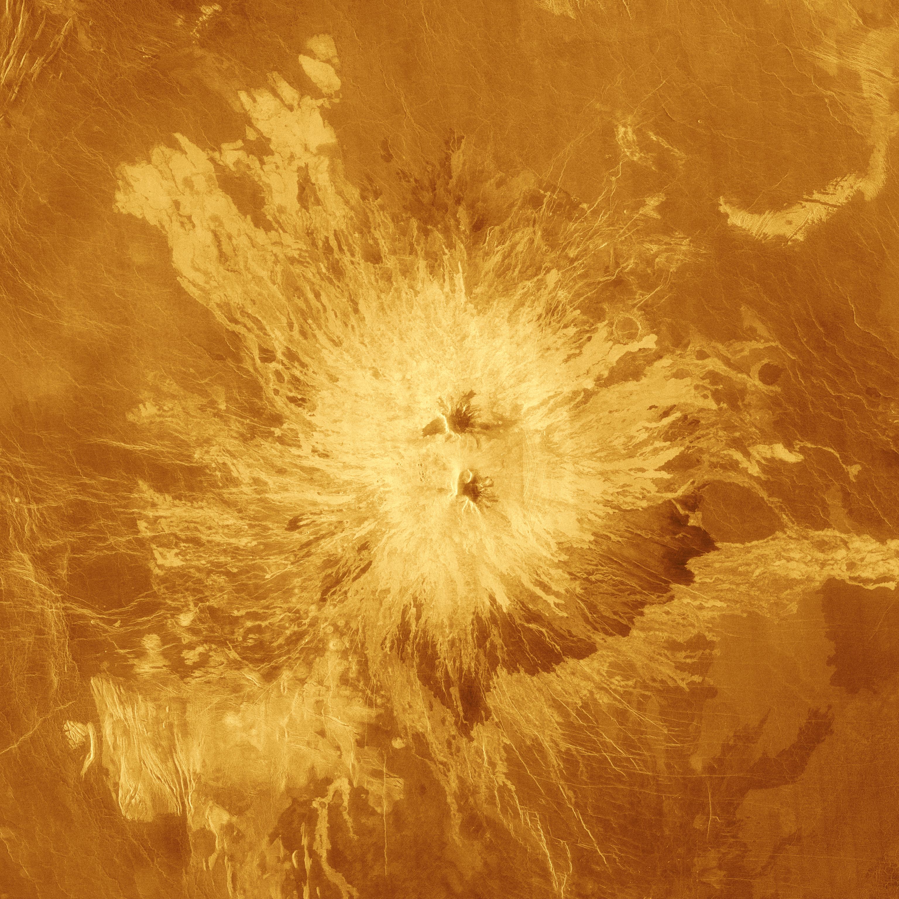
PIA00208:
-
Venus - Rhea Mons Volcano
Full Resolution:
TIFF
(1.267 MB)
JPEG
(429.1 kB)
|
|
|
1996-02-05 |
Venus
|
Magellan
|
Imaging Radar
|
2538x2148x1 |
|
-
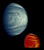
PIA00207:
-
Venus - Magellan and Arecibo Comparison
Full Resolution:
TIFF
(3.772 MB)
JPEG
(660.6 kB)
|
|
|
1996-02-05 |
Venus
|
Magellan
|
Imaging Radar
|
1024x1024x1 |
|
-
PIA00206:
-
Venus - Beta Regio
Full Resolution:
TIFF
(318.9 kB)
JPEG
(118.8 kB)
|
|
|
1996-02-05 |
Venus
|
Magellan
|
Imaging Radar
|
1024x1024x1 |
|
-
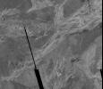
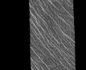
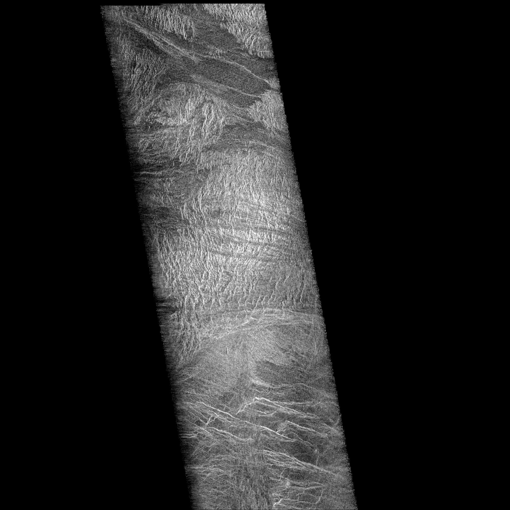
PIA00205:
-
Venus - First Radar Test
Full Resolution:
TIFF
(696.8 kB)
JPEG
(252.3 kB)
|
|
|
1996-02-05 |
Venus
|
Magellan
|
Imaging Radar
|
3072x3072x3 |
|
-
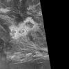
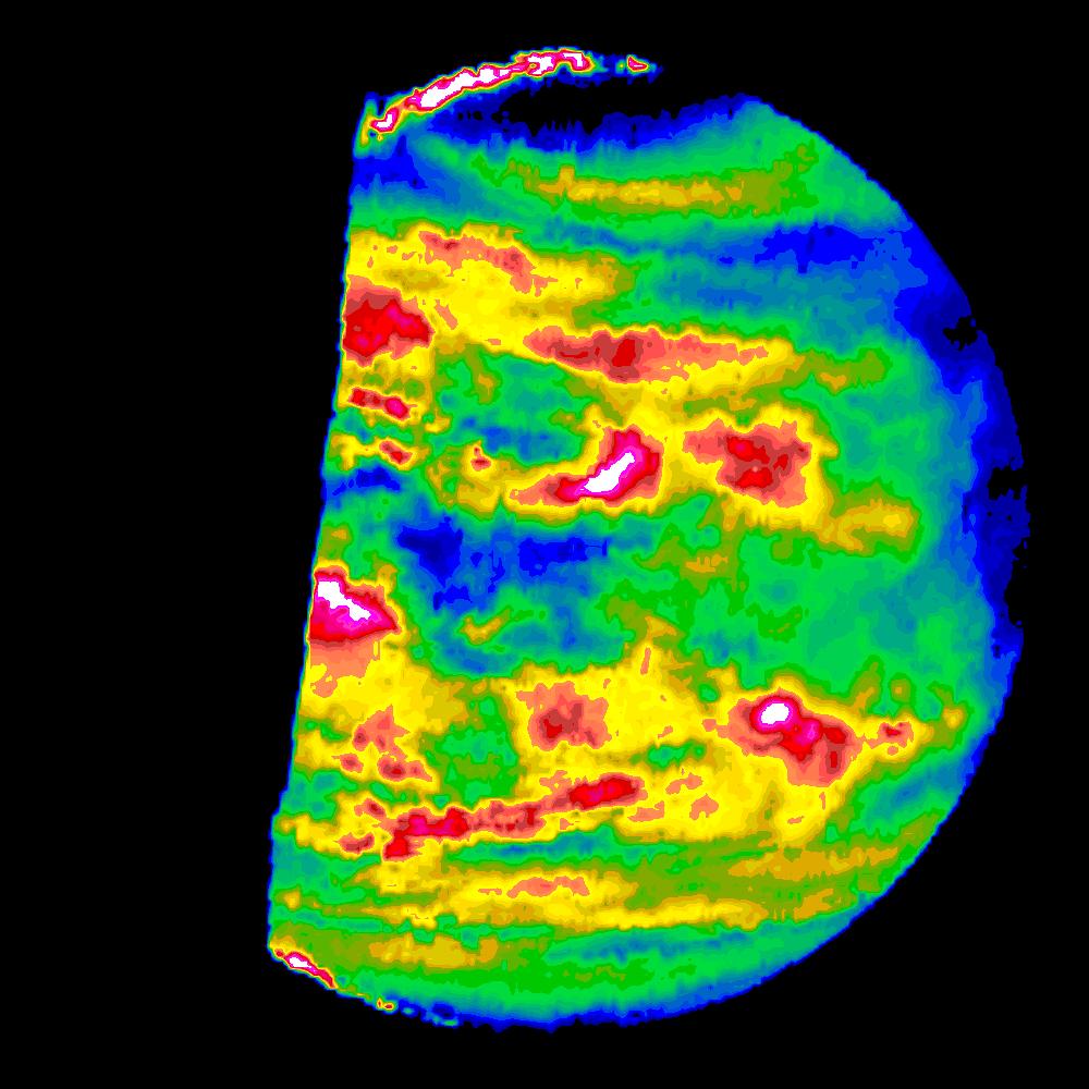
PIA00203:
-
False Color Image of Volcano Sapas Mons
Full Resolution:
TIFF
(8.34 MB)
JPEG
(1.99 MB)
|
|
|
1996-02-05 |
Venus
|
Magellan
|
Imaging Radar
|
3842x3021x1 |
|
-
PIA00202:
-
Venus - Aine Corona (F-MIDR 59S164)
Full Resolution:
TIFF
(9.077 MB)
JPEG
(3.152 MB)
|
|
|
1996-02-05 |
Venus
|
Magellan
|
Imaging Radar
|
5120x4600x1 |
|
-
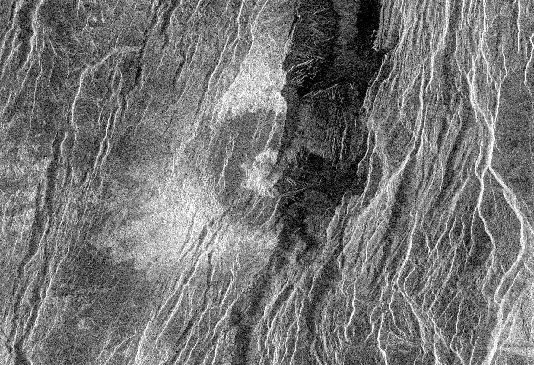
PIA00149:
-
Venus - Maxwell Montes and Cleopatra Crater
Full Resolution:
TIFF
(21.99 MB)
JPEG
(4.966 MB)
|
|
|
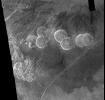
1996-02-02 |
Venus
|
Magellan
|
Imaging Radar
|
1250x1000x3 |
|
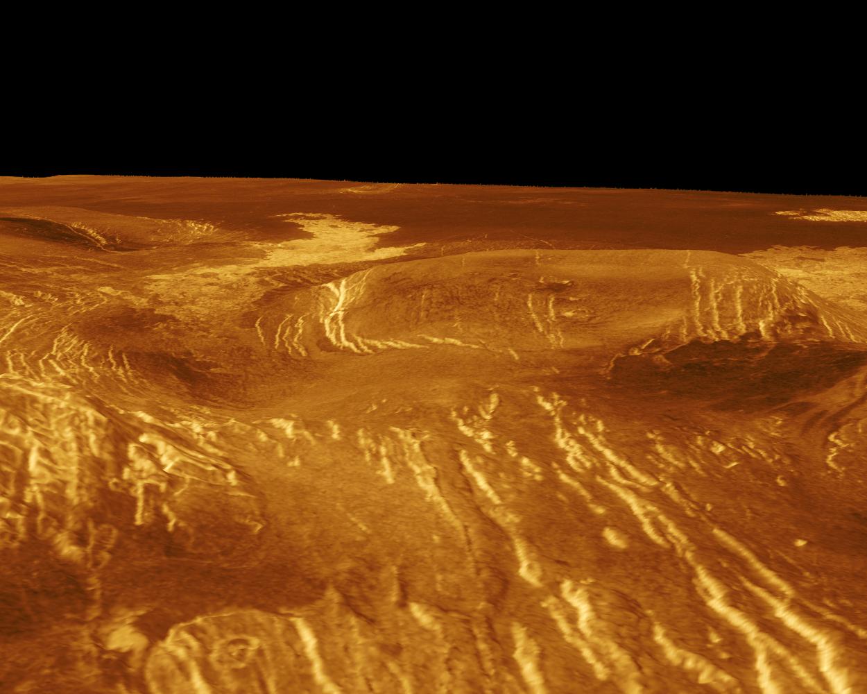
-
PIA00109:
-
Venus - 3-D Perspective View of Idem-Kuva
Full Resolution:
TIFF
(585.1 kB)
JPEG
(132.3 kB)
|
|
|
1996-02-02 |
Venus
|
Magellan
|
Imaging Radar
|
1250x1000x3 |

|
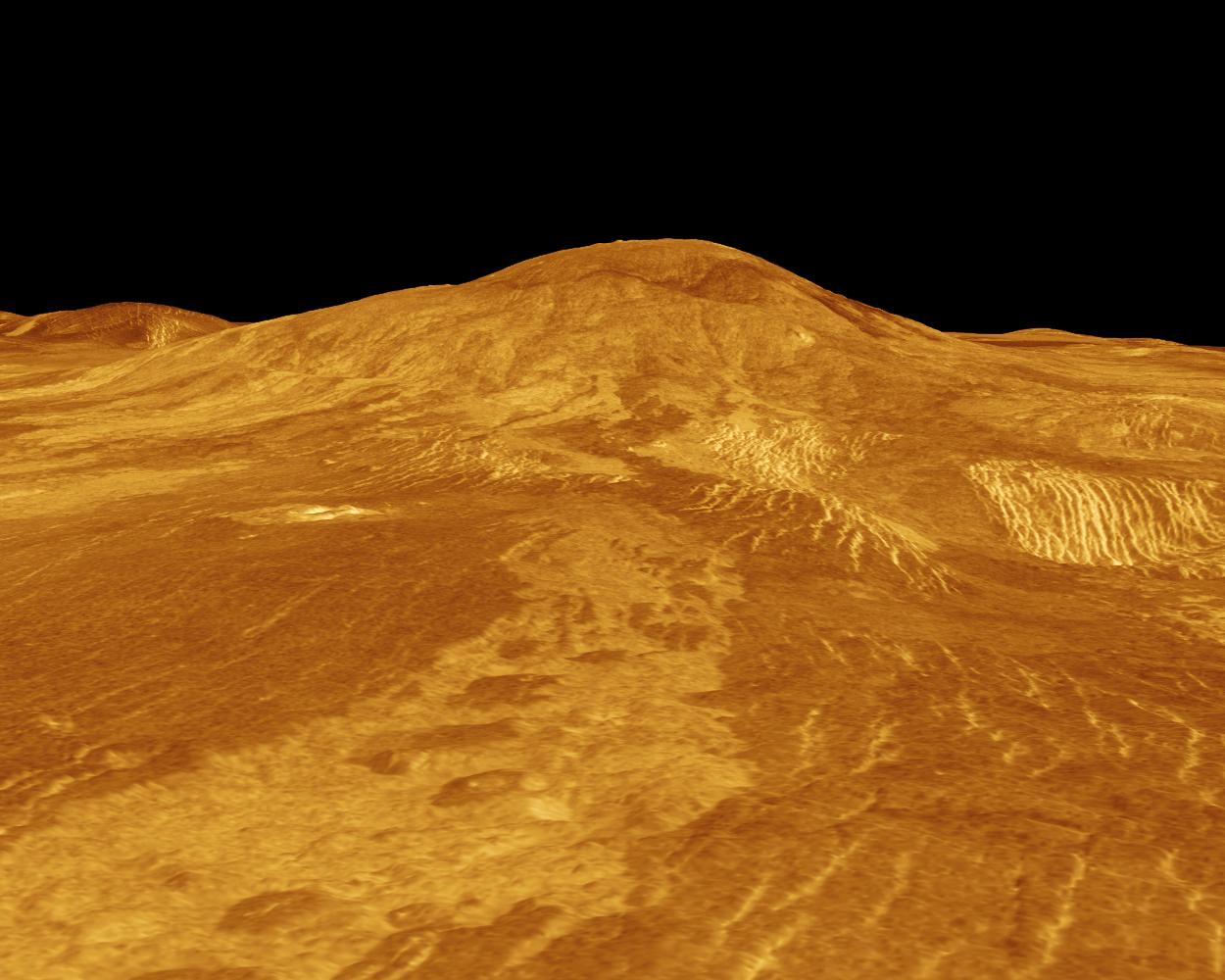
-
PIA00108:
-
Venus - 3-D Perspective View of Sif Mons
Full Resolution:
TIFF
(501.6 kB)
JPEG
(131.9 kB)
|
|
|
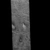
1996-02-02 |
Venus
|
Magellan
|
Imaging Radar
|
8192x7168x1 |
|
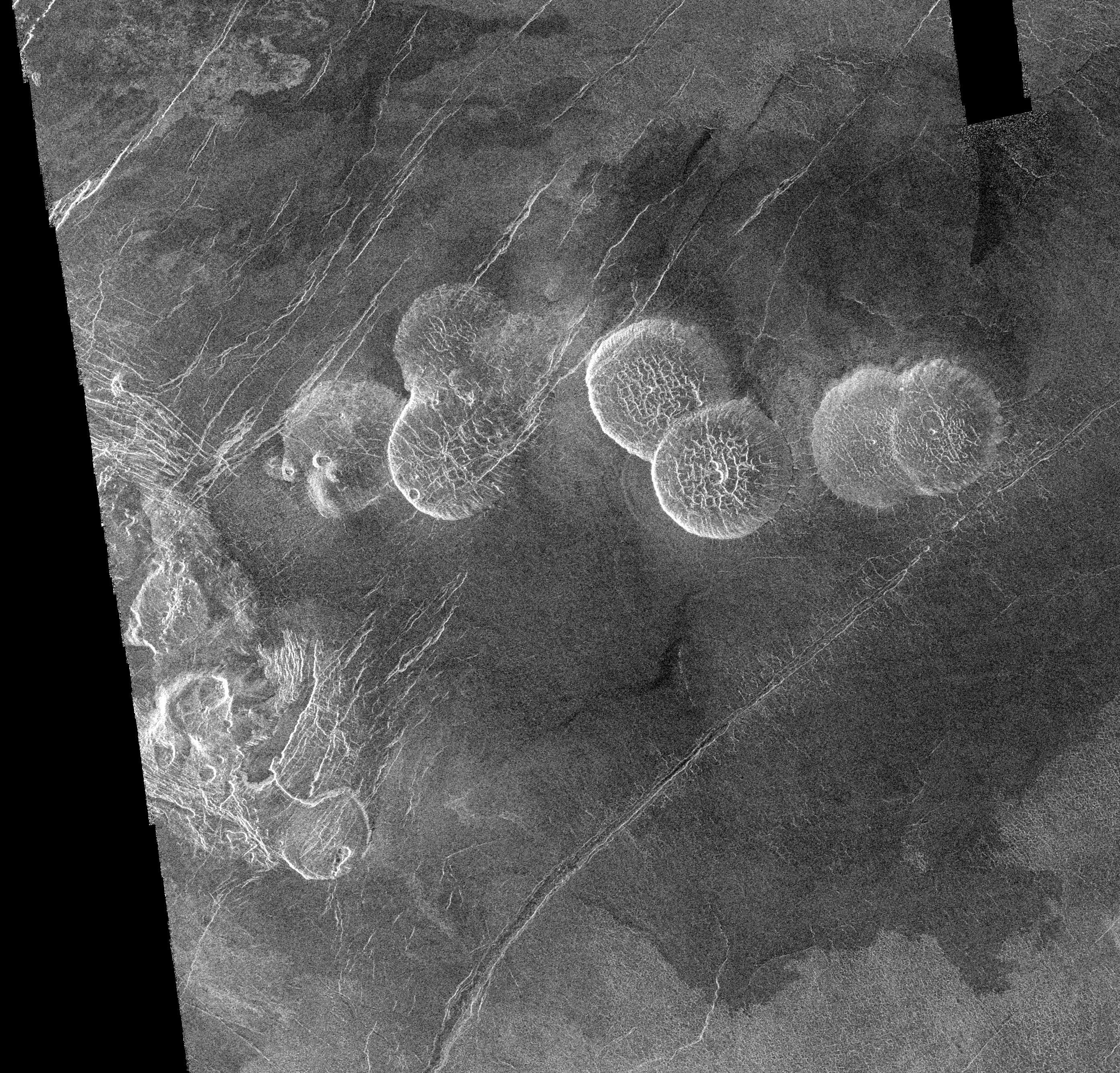
-
PIA00087:
-
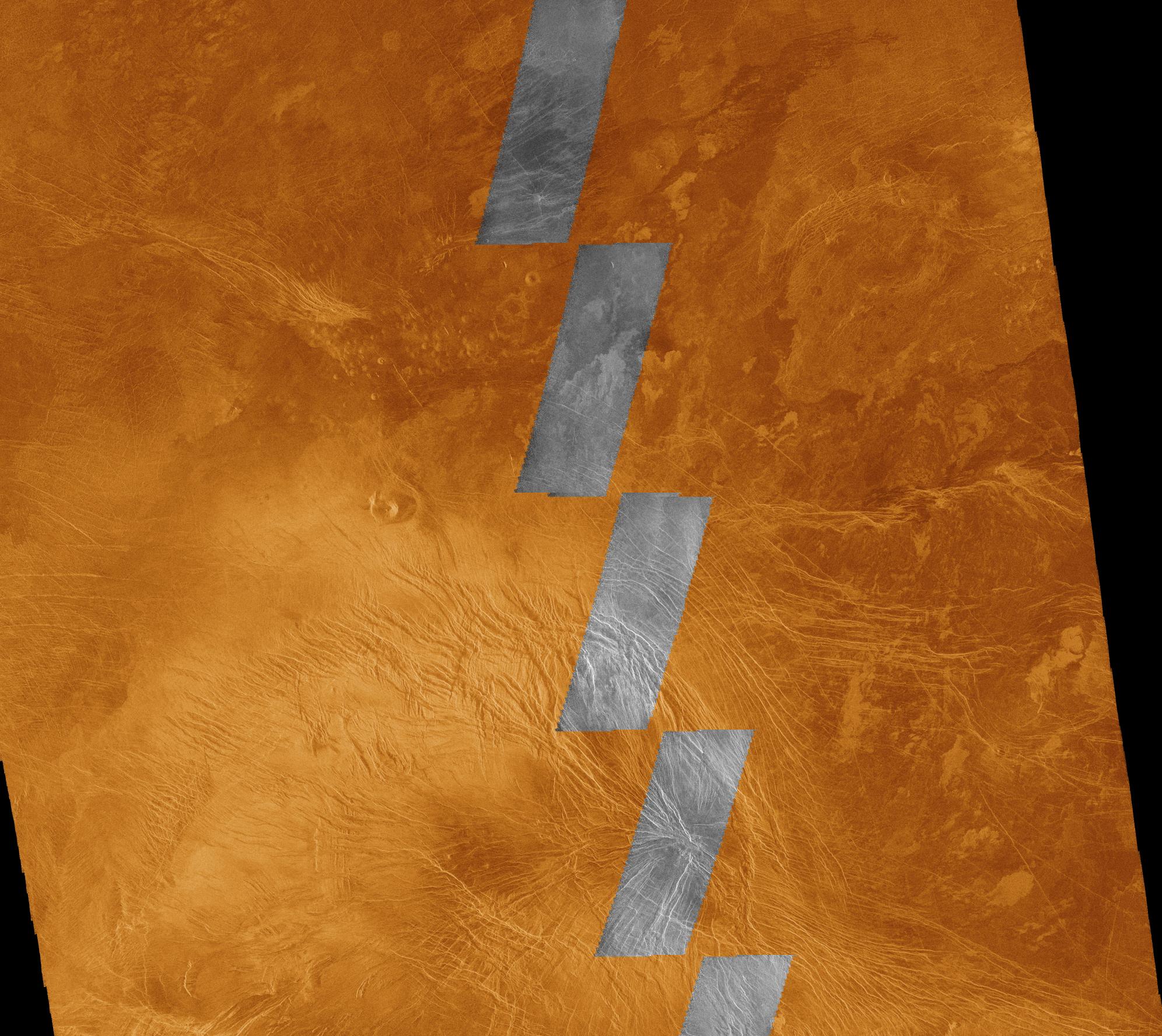
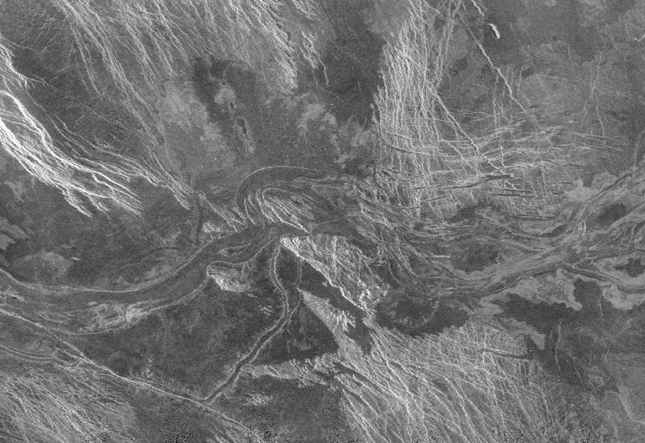
Lavinia Region Ridge Belts, Plains and Lava Flows
Full Resolution:
TIFF
(45.94 MB)
JPEG
(13.57 MB)
|
|
|
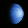
1996-02-01 |
Venus
|
Galileo
|
Solid-State Imaging
|
800x800x3 |
|
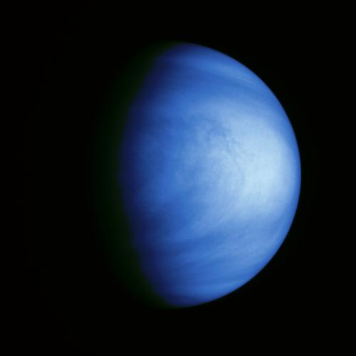
-
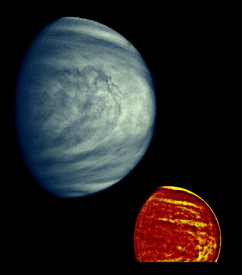
PIA00072:
-
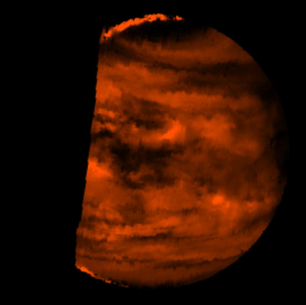
Venus Cloud Patterns (colorized and filtered)
Full Resolution:
TIFF
(196.5 kB)
JPEG
(41.17 kB)
|
|
|
1996-02-01 |
Venus
|
Galileo
|
Solid-State Imaging
|
1800x1800x1 |

|
-
PIA00071:
-
Venus in Violet and Near Infrared Light
Full Resolution:
TIFF
(1.081 MB)
JPEG
(195.3 kB)
|
|
|
1996-02-01 |
Venus
|
Galileo
|
Solid-State Imaging
|
500x500x3 |
|
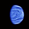
-
PIA00111:
-
Venus Colorized Clouds
Full Resolution:
TIFF
(89.26 kB)
JPEG
(9.964 kB)
|
|
|
1996-02-01 |
Venus
|
Magellan
|
Imaging Radar
|
2782x2666x1 |
|
-
PIA00215:
-
Venus - Alpha Regio
Full Resolution:
TIFF
(6.016 MB)
JPEG
(2.041 MB)
|
|
|
1996-02-01 |
Venus
|
Magellan
|
Imaging Radar
|
1500x1500x1 |
|
-
PIA00213:
-
Venus - Ushas Mons
Full Resolution:
TIFF
(792.9 kB)
JPEG
(319.1 kB)
|
|
|
1996-02-01 |
Venus
|
Magellan
|
Imaging Radar
|
1024x1024x1 |

|
-
PIA00212:
-
Venus Phoebe Regio
Full Resolution:
TIFF
(369.6 kB)
JPEG
(166 kB)
|
|
|
1996-02-01 |
Venus
|
Magellan
|
Imaging Radar
|
1992x1775x3 |
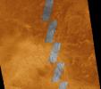
|
-
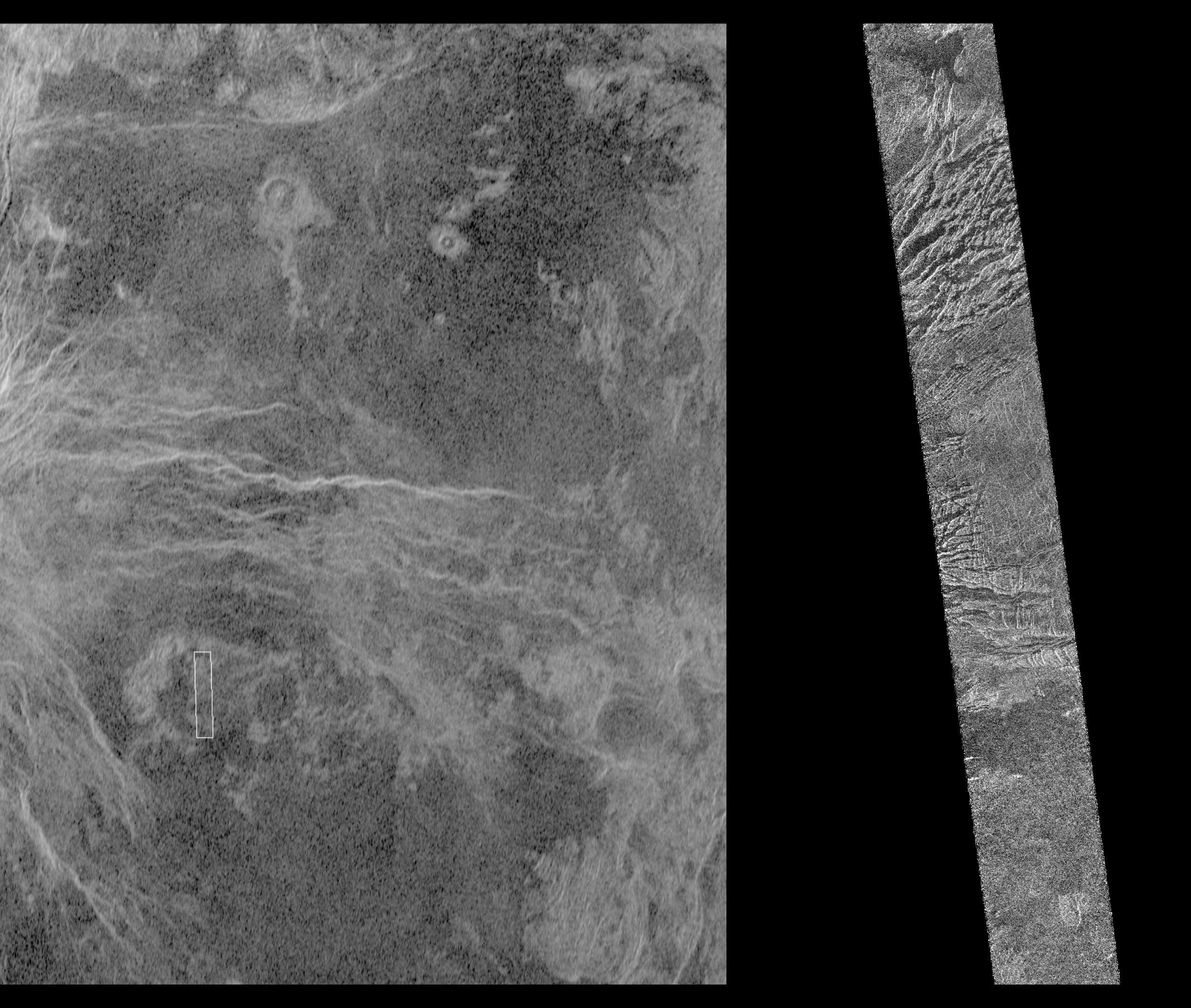
PIA00220:
-
Venus - Comparison of Initial Magellan Radar Test and Data Acquired in 4/91
Full Resolution:
TIFF
(6.549 MB)
JPEG
(552.7 kB)
|
|
|
1996-02-01 |
Venus
|
Magellan
|
Imaging Radar
|
910x625x1 |

|
-
PIA00219:
-
Venus - Lada Terra Region
Full Resolution:
TIFF
(473.9 kB)
JPEG
(134.7 kB)
|
|
|
1996-02-01 |
Venus
|
Magellan
|
Imaging Radar
|
1880x1504x3 |
|
-
PIA00216:
-
Venus - False Color of Sacajawea Petera
Full Resolution:
TIFF
(2.198 MB)
JPEG
(411.9 kB)
|
|
|
1996-01-29 |
Venus
|
Galileo
|
Near Infrared Mapping Spectrometer
|
1001x1000x3 |

|
-
PIA00124:
-
Infrared Image of Low Clouds on Venus
Full Resolution:
TIFF
(391.4 kB)
JPEG
(42.72 kB)
|
|
|
1996-01-29 |
Venus
|
Galileo
|
Near Infrared Mapping Spectrometer
|
1000x1000x3 |
|
-
PIA00112:
-
Venus Nightside through the Near Infrared Mapping Spectrometer
Full Resolution:
TIFF
(140.5 kB)
JPEG
(111.1 kB)
|
|
|
1996-01-29 |
Venus
|
Galileo
|
Solid-State Imaging
|
1600x1600x1 |
|
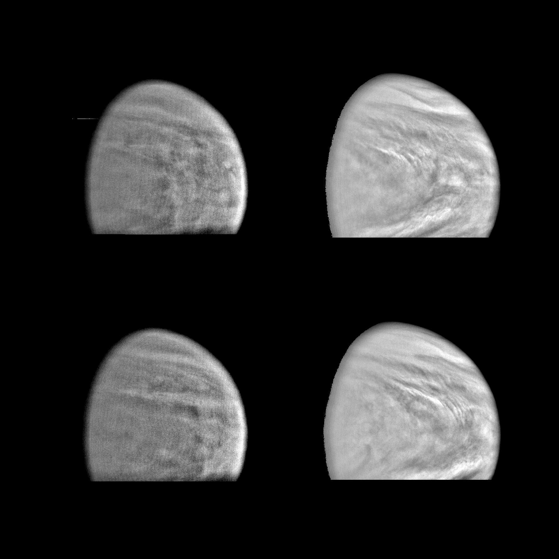
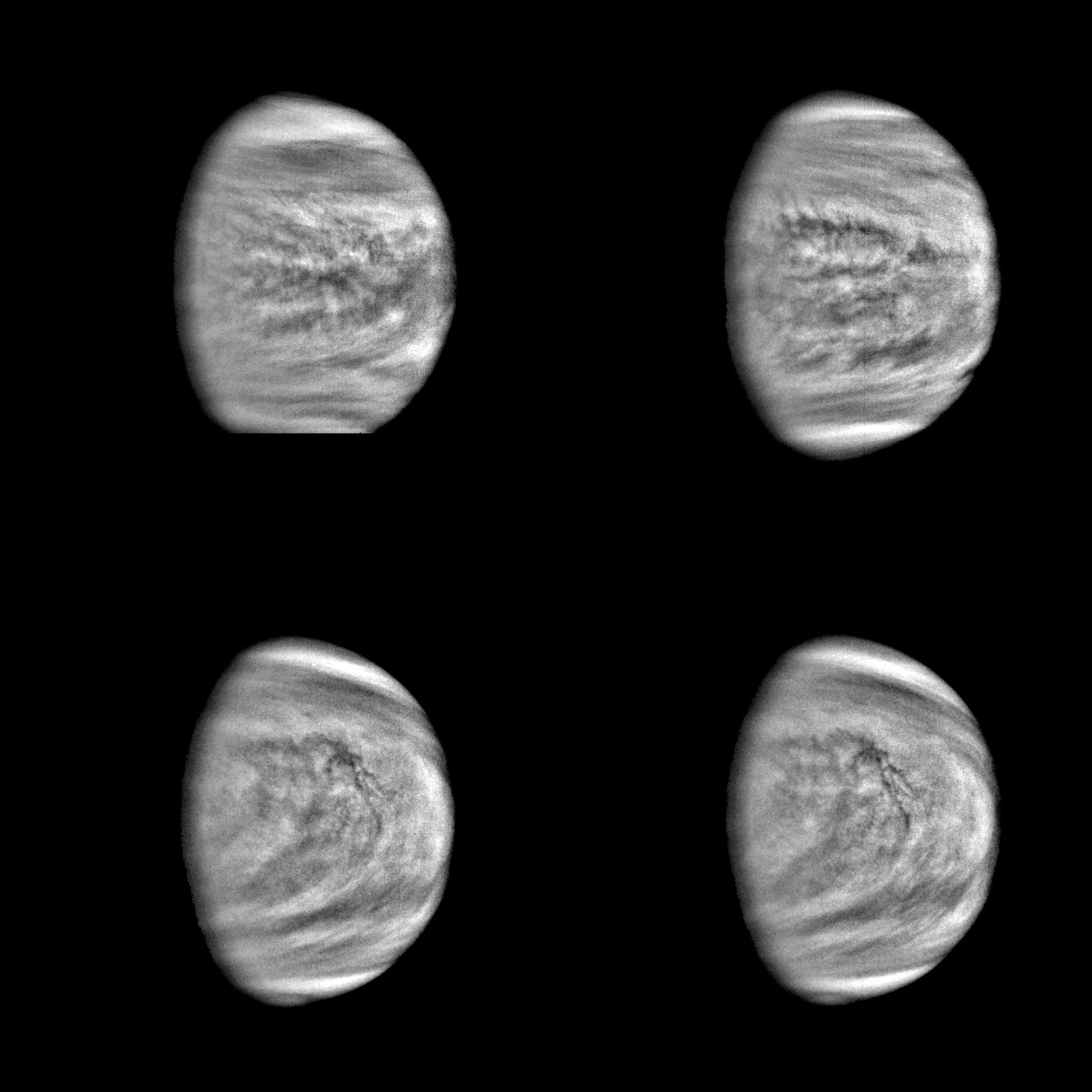
-
PIA00110:
-
Four Views of Venus (High Pass Filter)
Full Resolution:
TIFF
(790.9 kB)
JPEG
(144.2 kB)
|
|
|
1996-01-29 |
Venus
|
Magellan
|
Imaging Radar
|
1770x1210x1 |
|
-
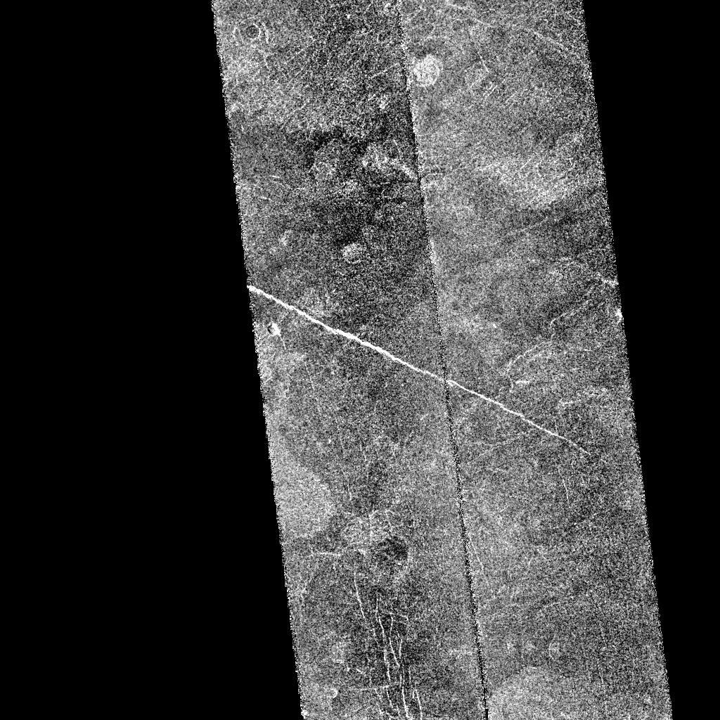
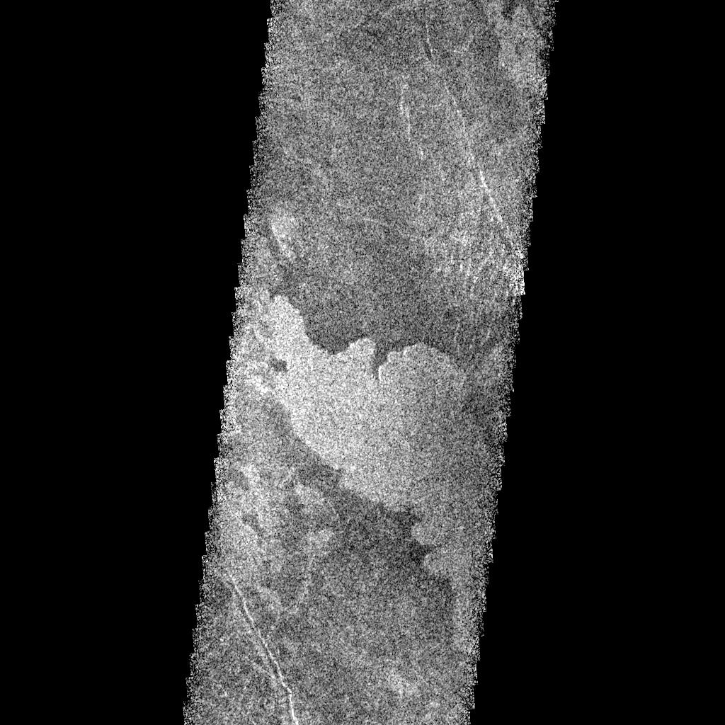
PIA00100:
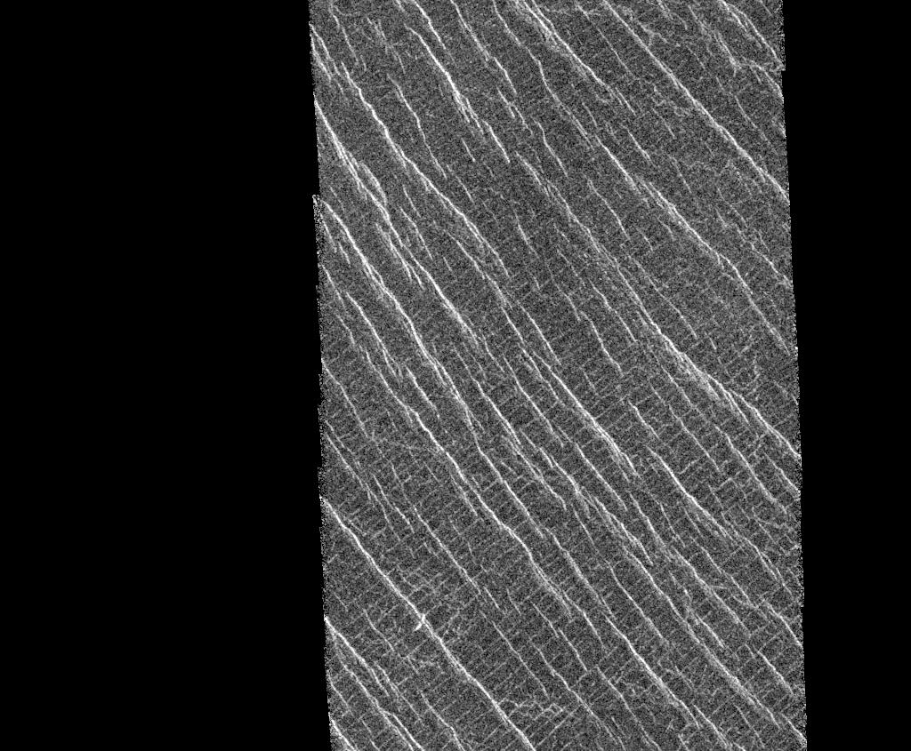
-
Venus - Fractured Somerville Crater in Beta Regio
Full Resolution:
TIFF
(2.136 MB)
JPEG
(700.2 kB)
|
|
|
1996-01-29 |
Venus
|
Magellan
|
Imaging Radar
|
1896x1500x1 |

|
-
PIA00099:
-
East Part of Sapas Mons with Flooded Crater
Full Resolution:
TIFF
(2.72 MB)
JPEG
(1.046 MB)
|
|
|
1996-01-29 |
Venus
|
Magellan
|
Imaging Radar
|
1637x1433x1 |
|
-
PIA00089:
-
Venus - Eistla Region
Full Resolution:
TIFF
(2.398 MB)
JPEG
(788 kB)
|
|
|
1996-01-29 |
Venus
|
Magellan
|
Imaging Radar
|
2048x2048x1 |
|
-
PIA00088:
-
Venus - Stein Triplet Crater
Full Resolution:
TIFF
(2.606 MB)
JPEG
(819.1 kB)
|
|
|
1996-01-29 |
Venus
|
Galileo
|
Solid-State Imaging
|
780x885x3 |
|
-
PIA00073:
-
Venus as Viewed Through Violet and Near Infrared Filters
Full Resolution:
TIFF
(520.6 kB)
JPEG
(56.66 kB)
|
|
|
1996-01-29 |
Venus
|
Magellan
|
Imaging Radar
|
1024x845x1 |
|
-
PIA00085:
-
Venus - Lineated Plains in Lakshmi Region
Full Resolution:
TIFF
(452.6 kB)
JPEG
(163.4 kB)
|
 Planetary Data System


