My
List |
Addition Date
|
Target
|
Mission
|
Instrument
|
Size
|

|
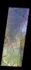
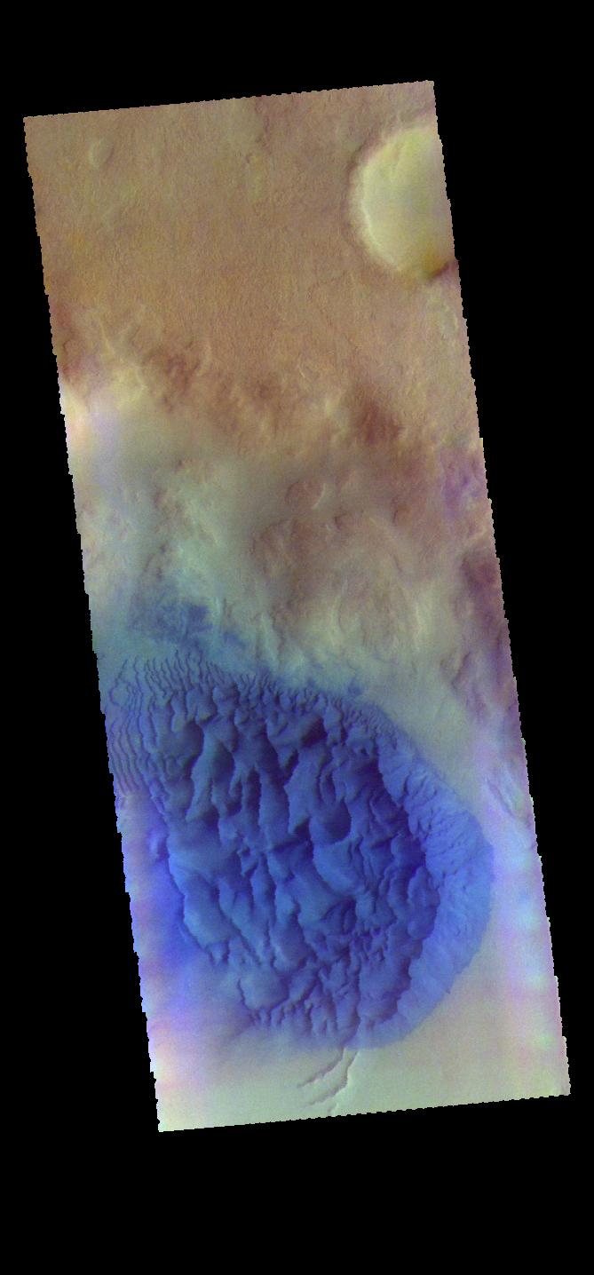
2017-05-10 |
Mars
|
2001 Mars Odyssey
|
THEMIS
|
1328x2675x1 |
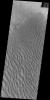
|
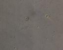
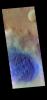
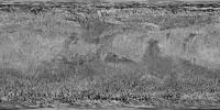
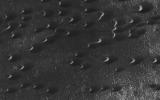
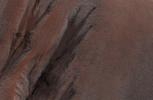
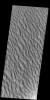
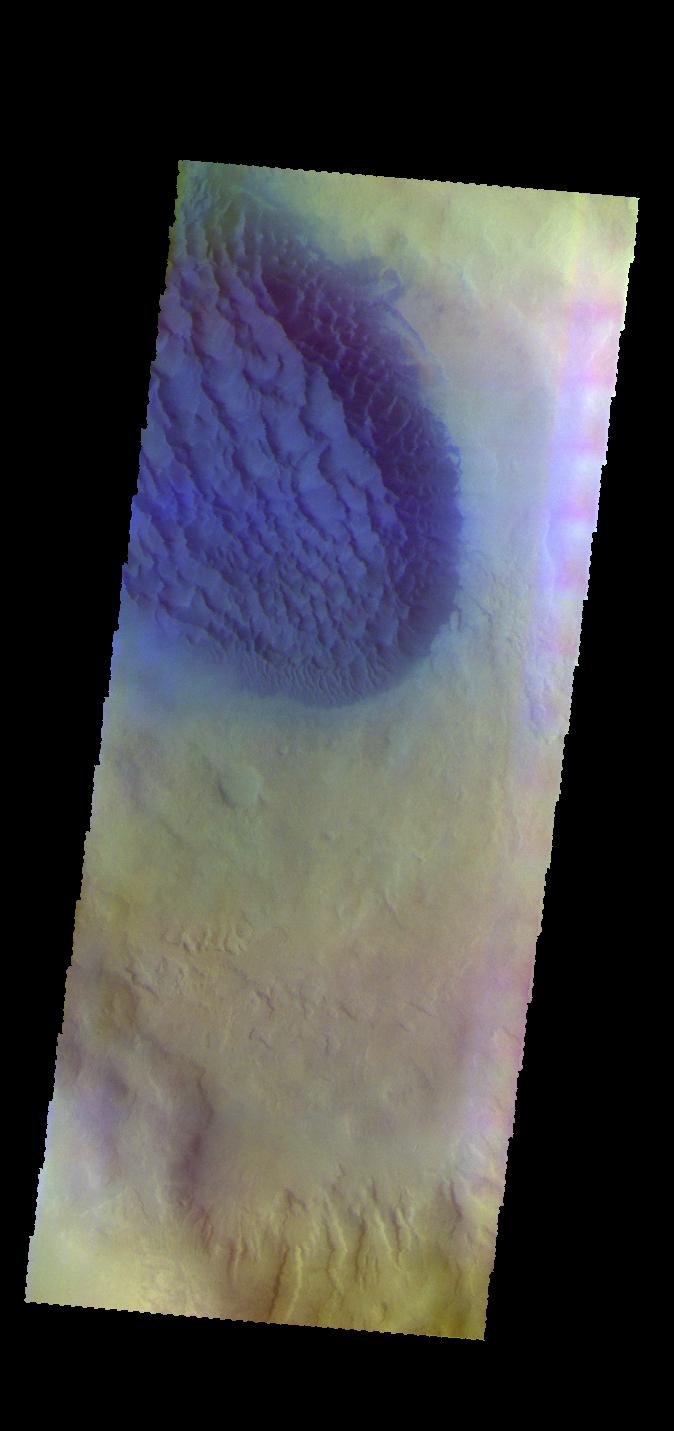
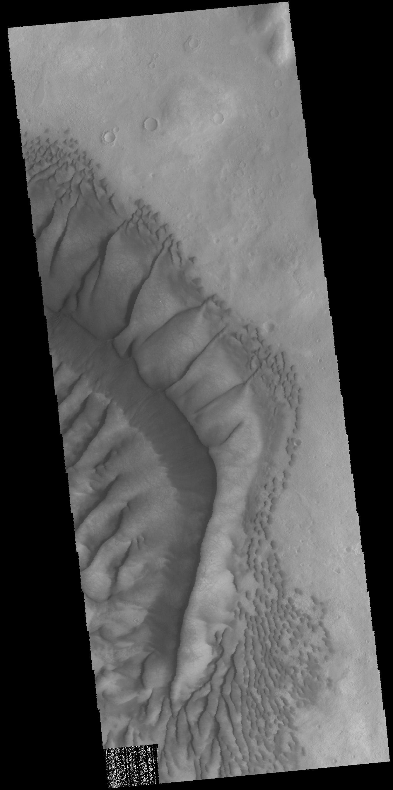
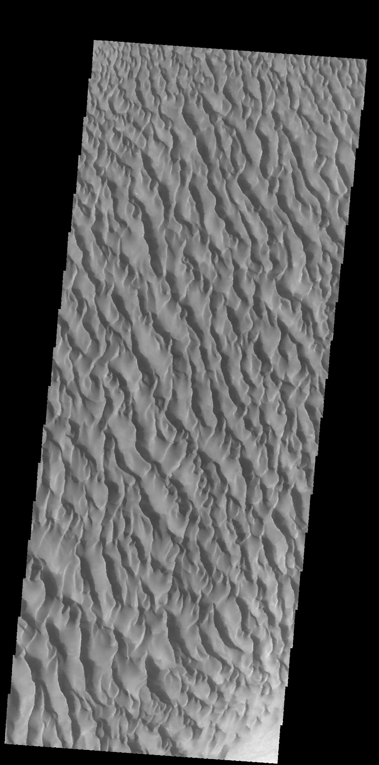
-
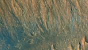
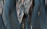
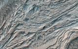
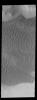
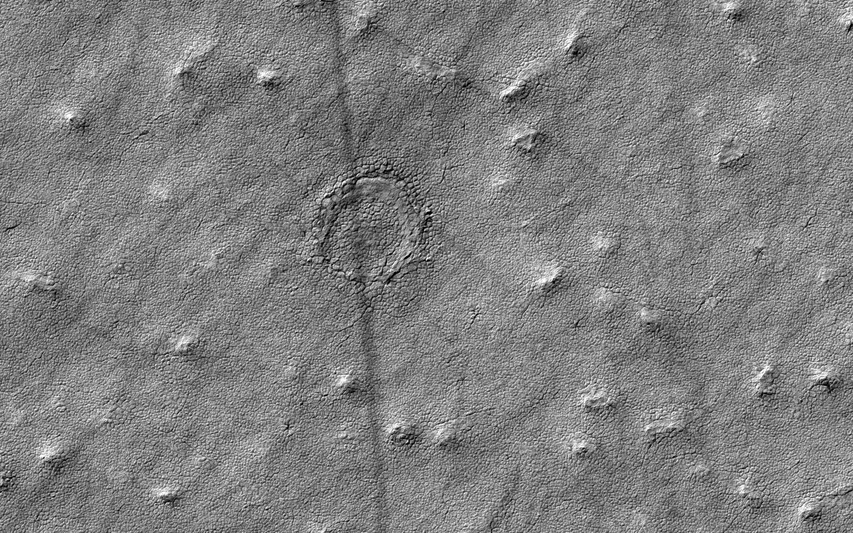
PIA21657:
-
Proctor Crater Dunes
Full Resolution:
TIFF
(2.526 MB)
JPEG
(289.4 kB)
|
|
|
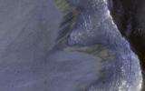
2017-05-09 |
Mars
|
Mars Reconnaissance Orbiter (MRO)
|
HiRISE
|
2880x1800x3 |
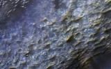
|
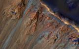
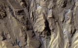
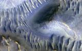
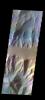
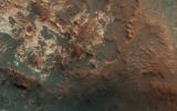
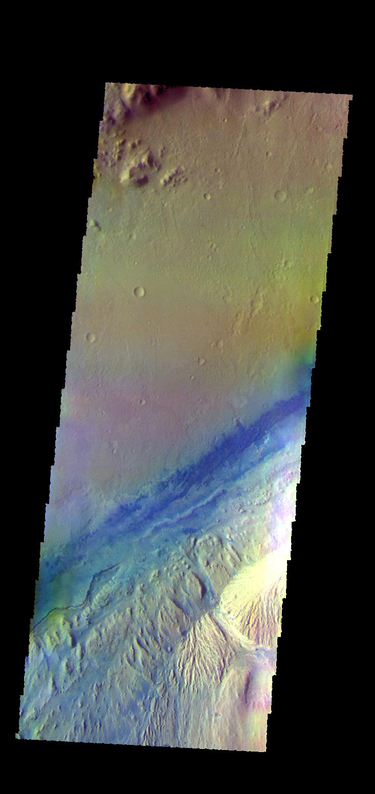
-
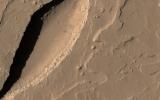
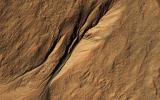
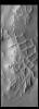
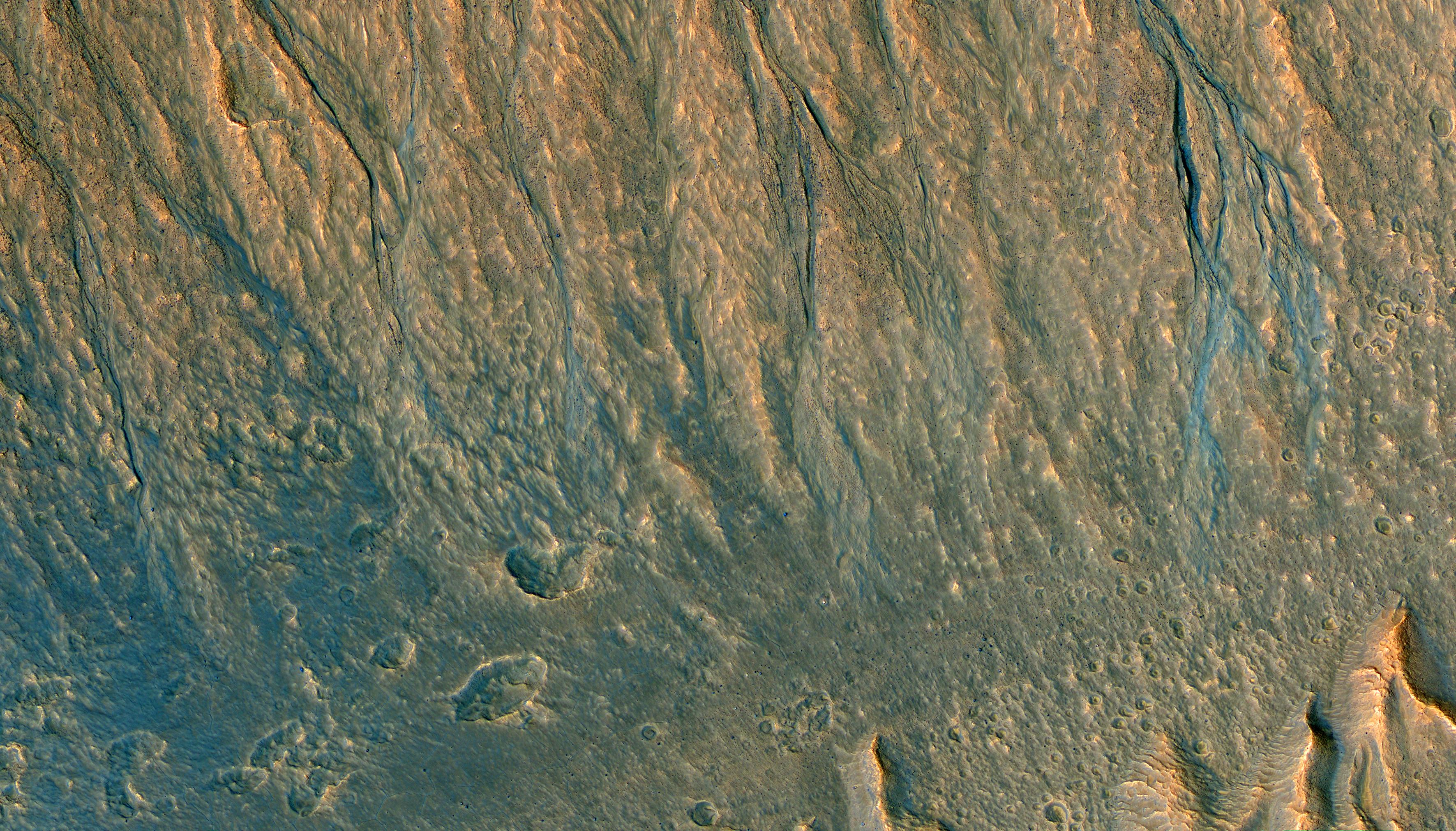
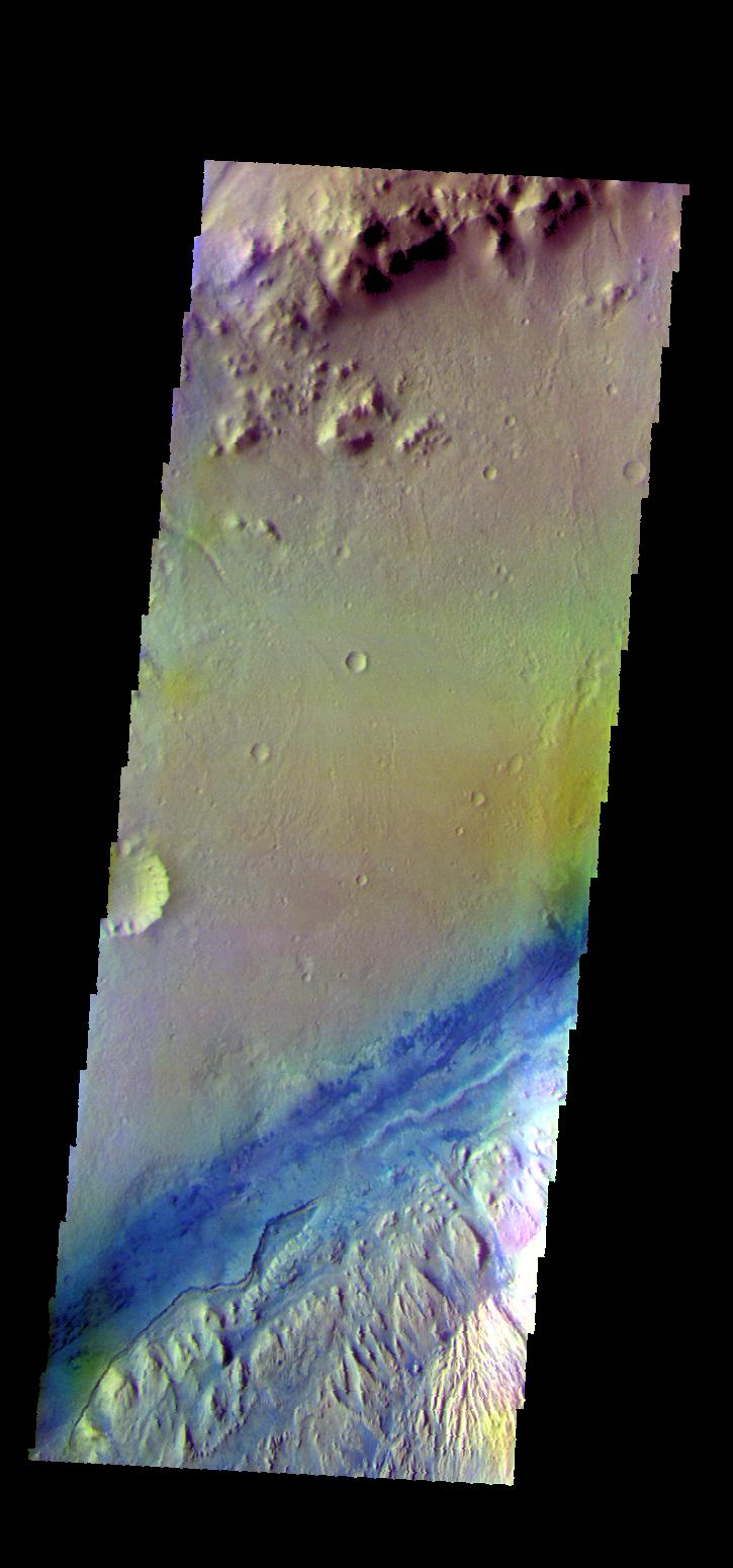
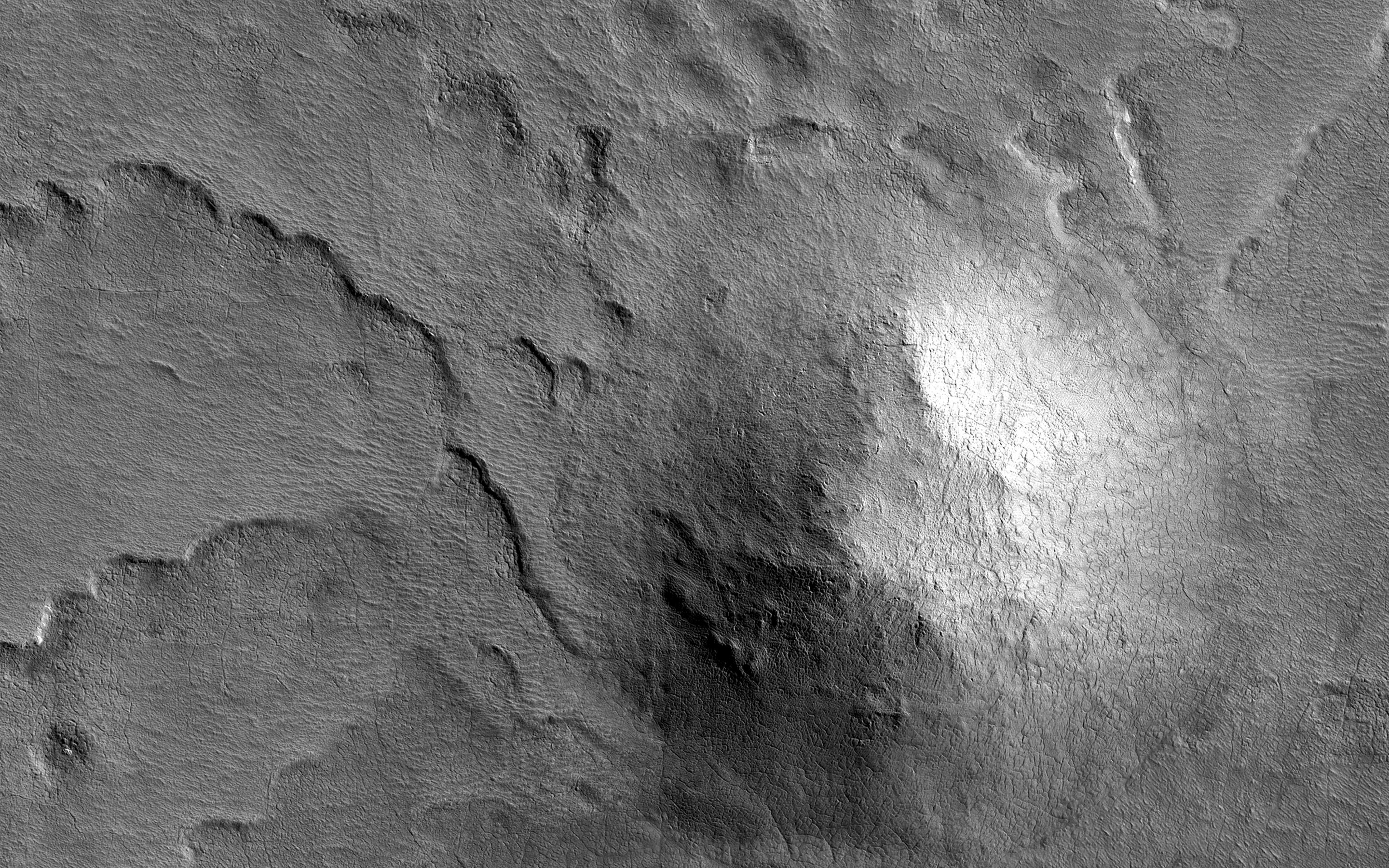
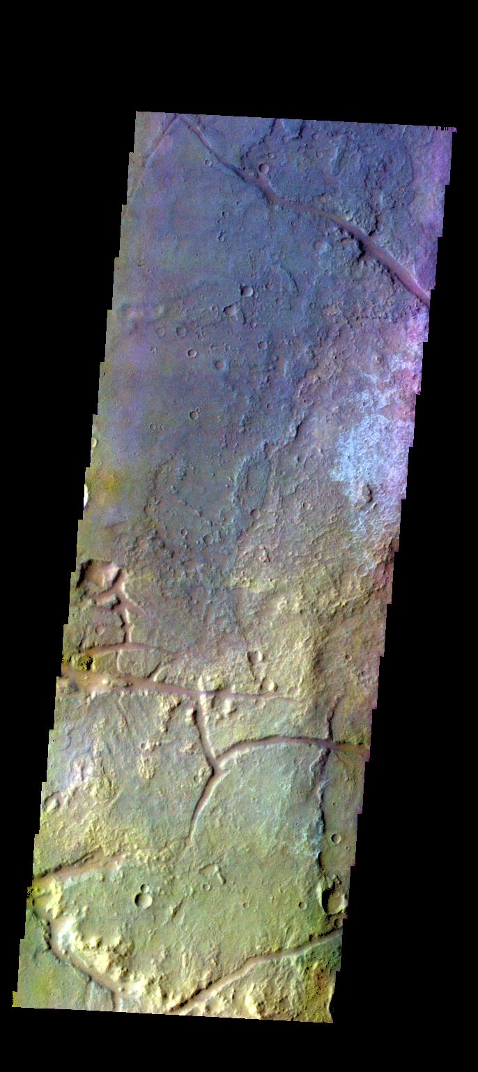
PIA21630:
-
An Ancient Valley Network
Full Resolution:
TIFF
(15.56 MB)
JPEG
(747.3 kB)
|
|
|
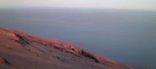
2017-05-09 |
Mars
|
2001 Mars Odyssey
|
THEMIS
|
669x1431x1 |
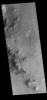
|
-
PIA21656:
-
Hale Crater
Full Resolution:
TIFF
(730.3 kB)
JPEG
(105 kB)
|
|
|
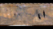
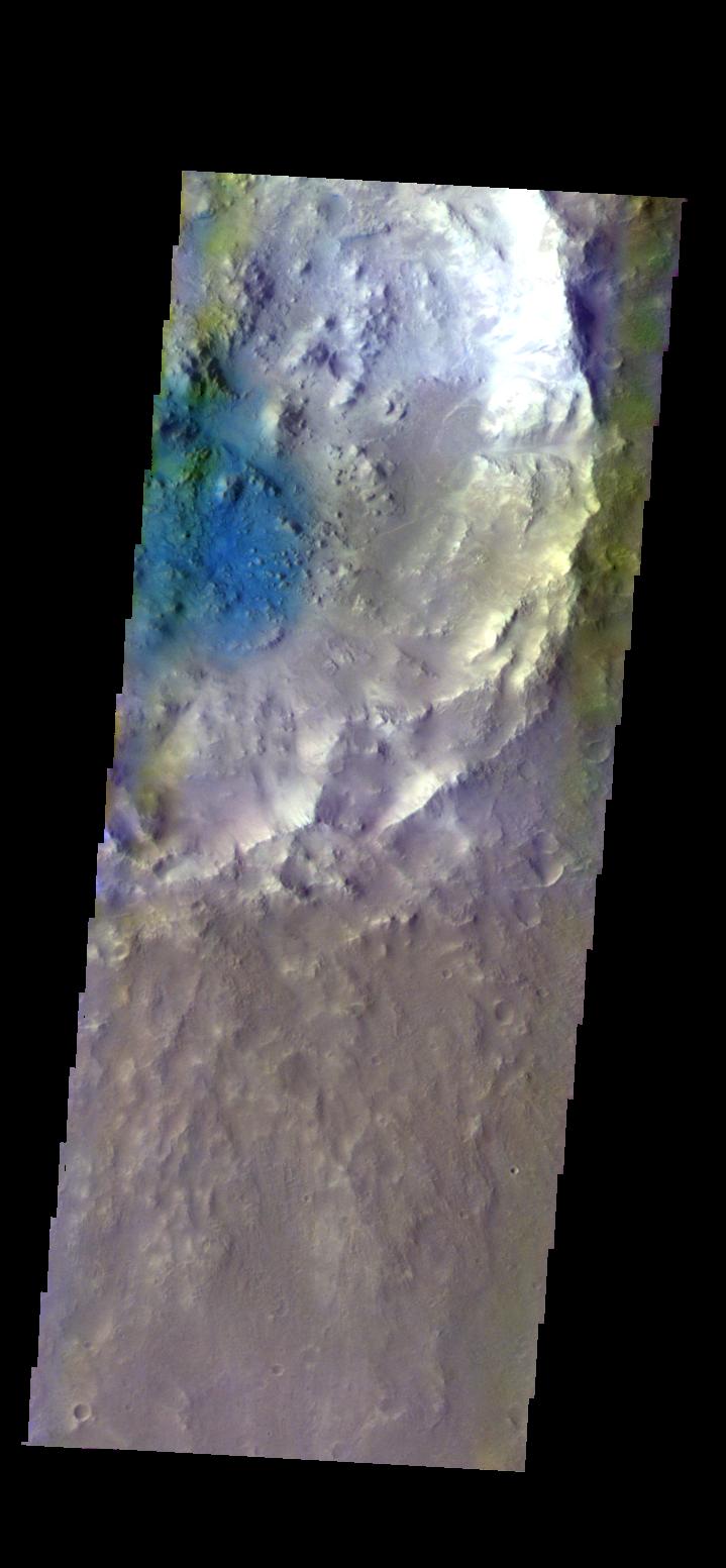
2017-05-08 |
Mars
|
Mars Reconnaissance Orbiter (MRO)
|
HiRISE
|
2880x1800x3 |
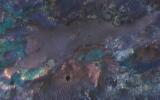
|
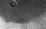
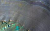
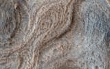
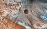
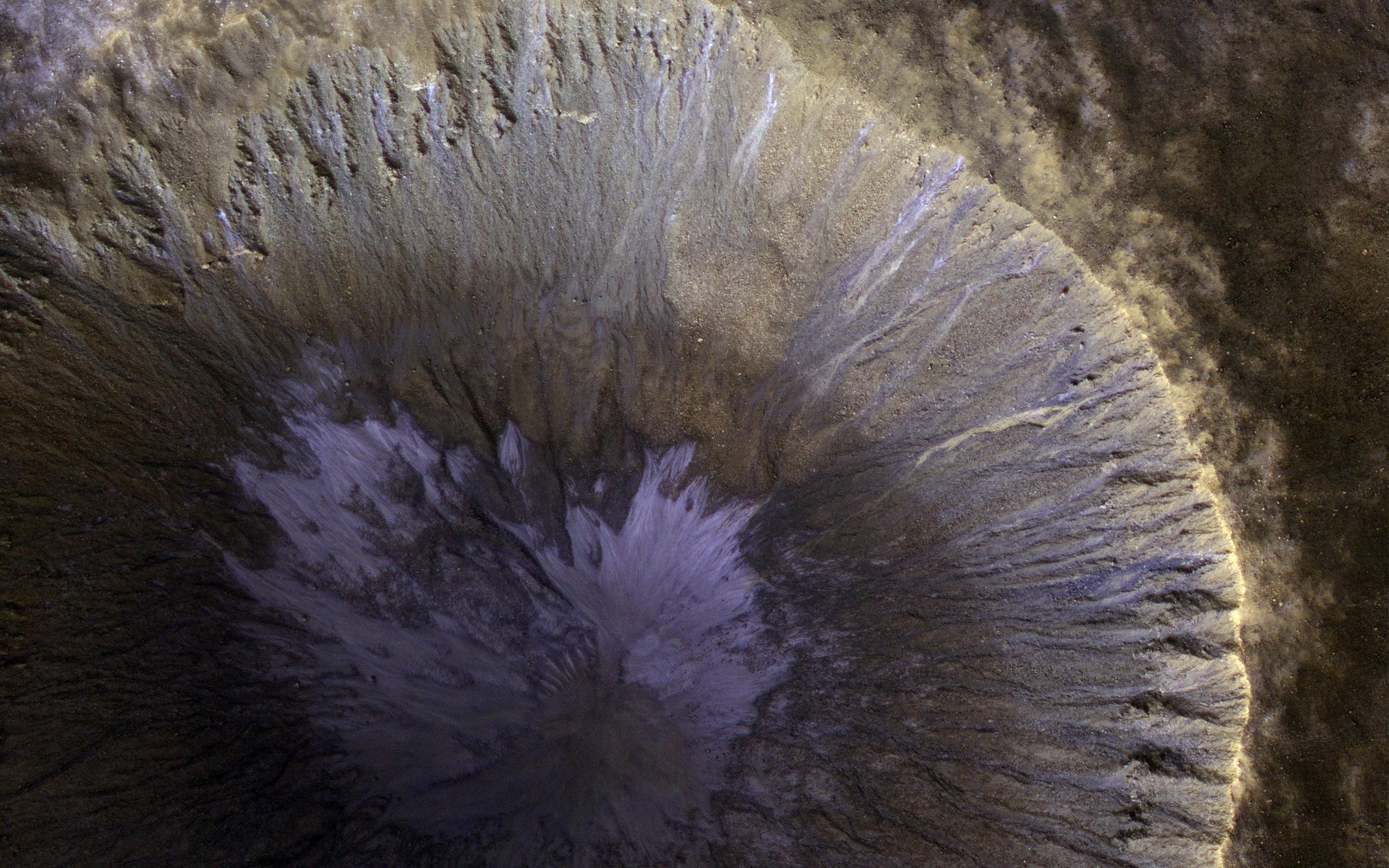
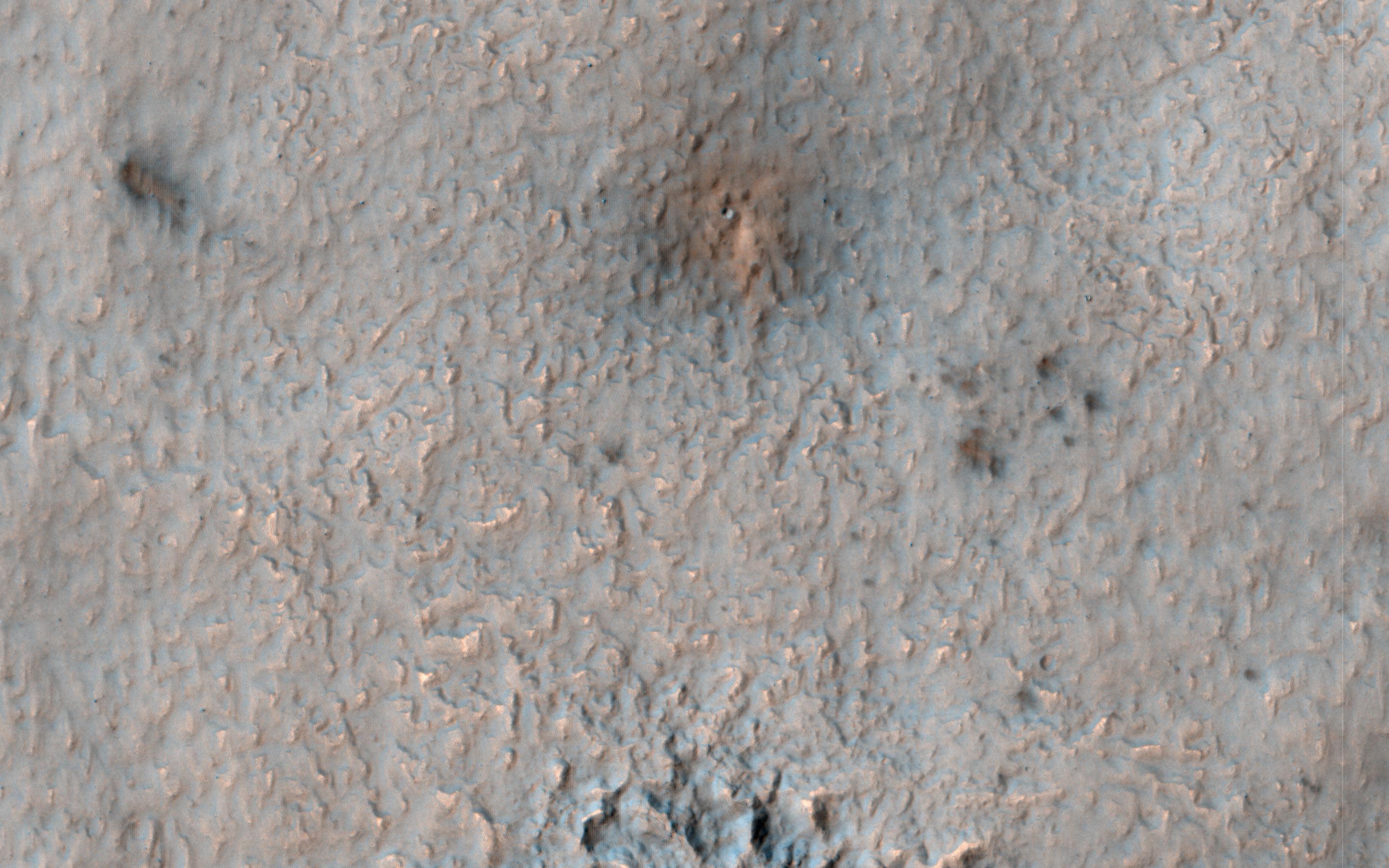
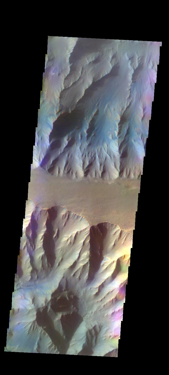
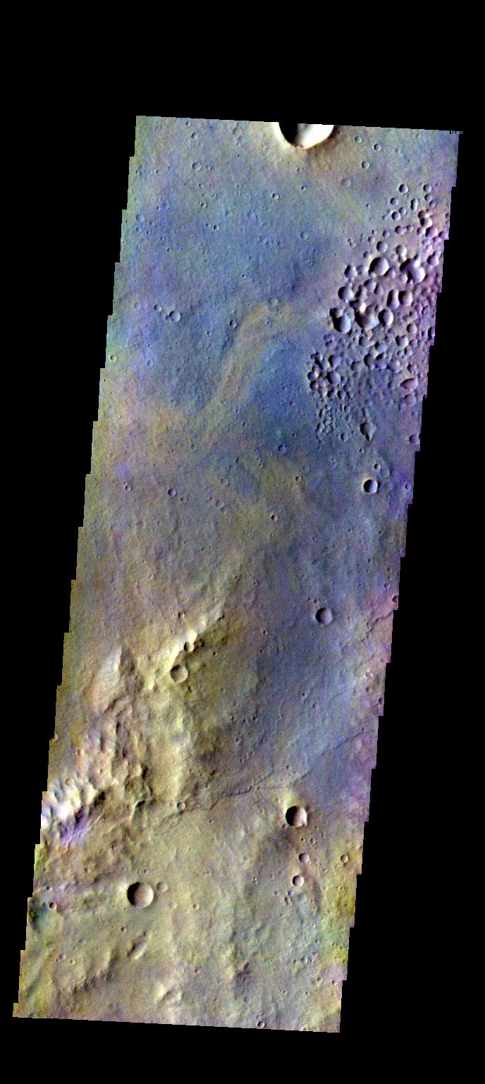
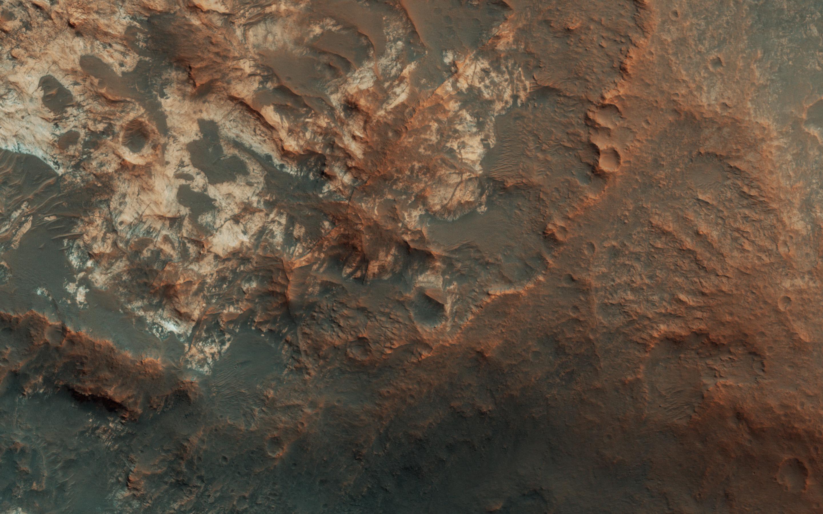
-
PIA21609:
-
Colorful Impact Ejecta from Hargraves Crater
Full Resolution:
TIFF
(15.56 MB)
JPEG
(918.7 kB)
|
|
|
2017-05-08 |
Mars
|
2001 Mars Odyssey
|
THEMIS
|
994x2628x1 |

|
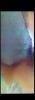
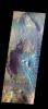
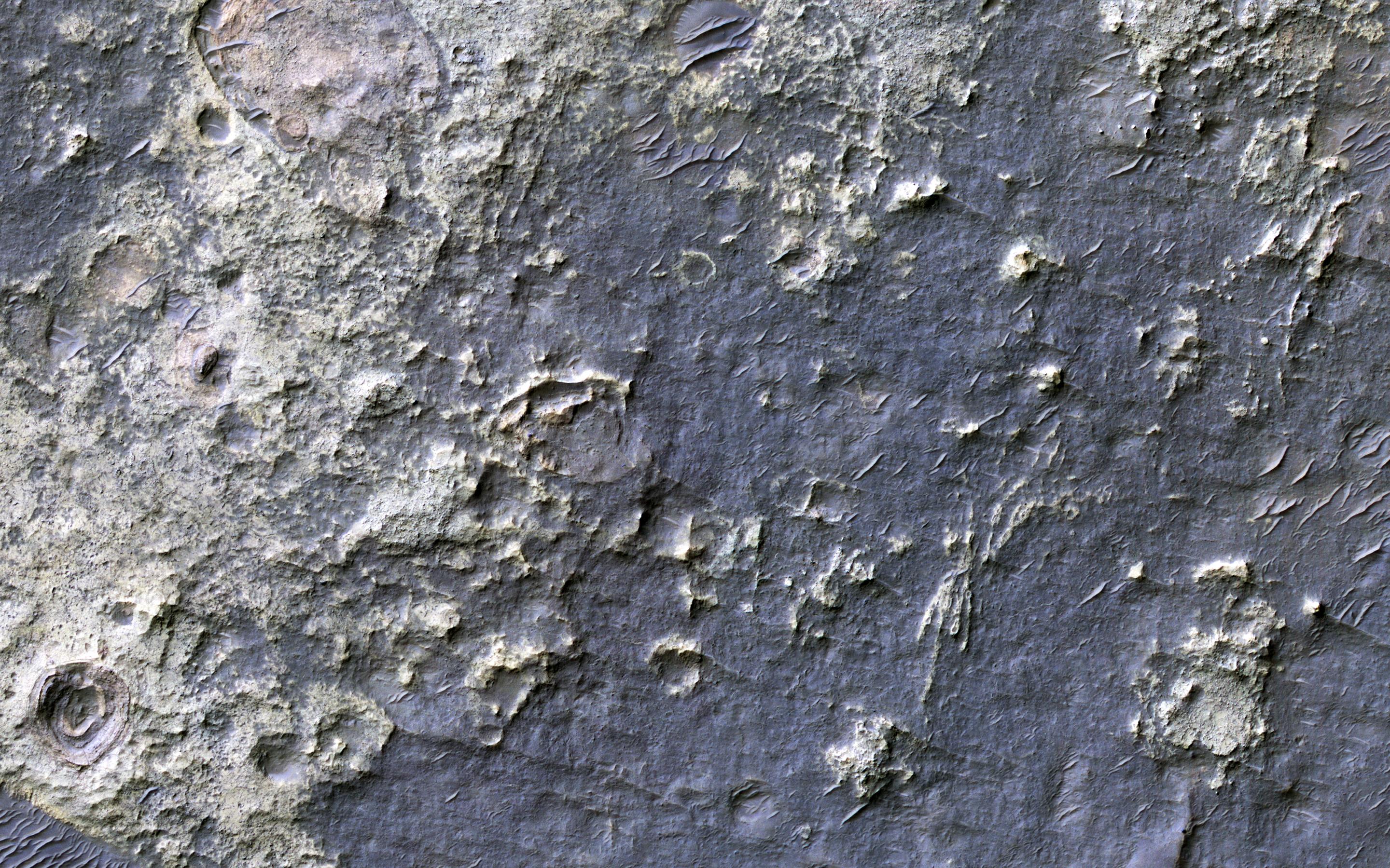
-
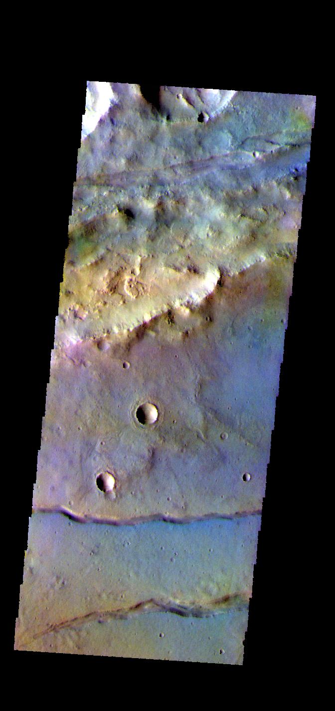
PIA21550:
-
Layers
Full Resolution:
TIFF
(1.869 MB)
JPEG
(136.4 kB)
|
|
|
2017-05-05 |
Mars
|
2001 Mars Odyssey
|
THEMIS
|
672x1437x3 |
|
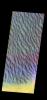
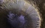
-
PIA21549:
-
Proctor Crater Dunes- False Color
Full Resolution:
TIFF
(1.966 MB)
JPEG
(90.09 kB)
|
|
|
2017-05-04 |
Mars
|
Mars Science Laboratory (MSL)
|
Mastcam
|
4336x2224x3 |

|
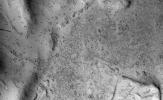
-
PIA11242:
-
Textures Where Curiosity Rover Studied a Martian Dune
Full Resolution:
TIFF
(28.61 MB)
JPEG
(1.904 MB)
|
|
|
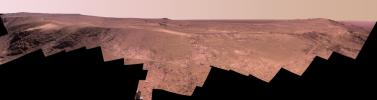
2017-05-04 |
Mars
|
Mars Science Laboratory (MSL)
|
Mastcam
|
8776x2000x3 |
|
-
PIA11241:
Panorama with Active Linear Dune in Gale Crater, Mars
Full Resolution:
TIFF
(35.9 MB)
JPEG
(2.349 MB)
|
|
|
2017-05-04 |
Mars
|
Mars Reconnaissance Orbiter (MRO)
|
HiRISE
|
2880x1800x3 |

|
-
PIA21608:
-
Seasonal Flows in Valles Marineris
Full Resolution:
TIFF
(14.57 MB)
JPEG
(466 kB)
|
|
|
2017-05-04 |
Mars
|
2001 Mars Odyssey
|
THEMIS
|
676x1422x3 |
|
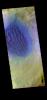
-
PIA21548:
-
Horowitz Crater - False Color
Full Resolution:
TIFF
(1.948 MB)
JPEG
(108.9 kB)
|
|
|
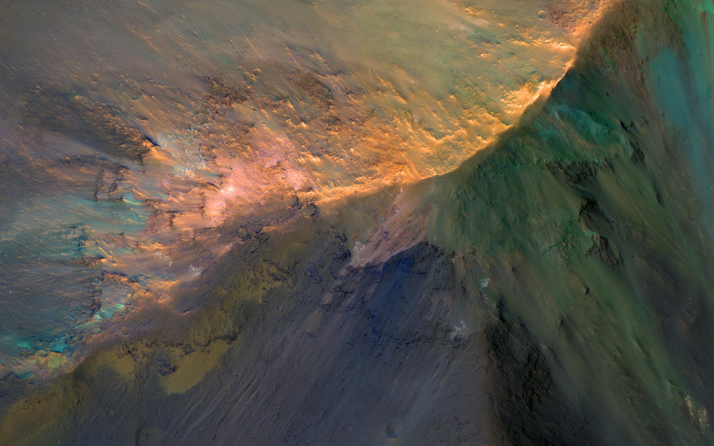
2017-05-03 |
Mars
|
Mars Reconnaissance Orbiter (MRO)
|
HiRISE
|
2880x1800x3 |

|
-
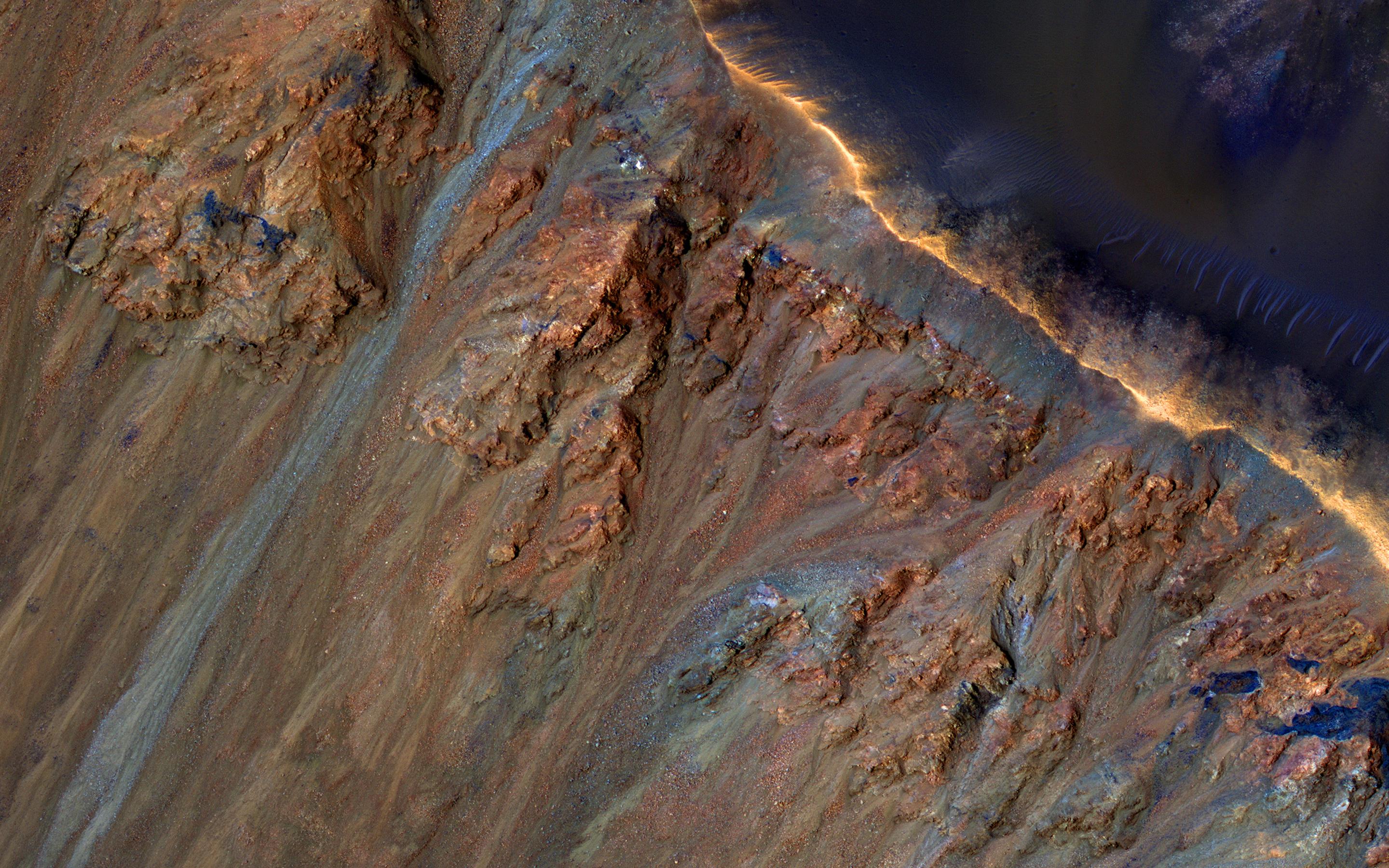
PIA21606:
-
Colorful Bedrock
Full Resolution:
TIFF
(15.56 MB)
JPEG
(846.8 kB)
|
|
|
2017-05-03 |
Mars
|
2001 Mars Odyssey
|
THEMIS
|
672x1425x3 |
|
-
PIA21547:
-
Sirenum Fossae - False Color
Full Resolution:
TIFF
(1.932 MB)
JPEG
(101.2 kB)
|
|
|
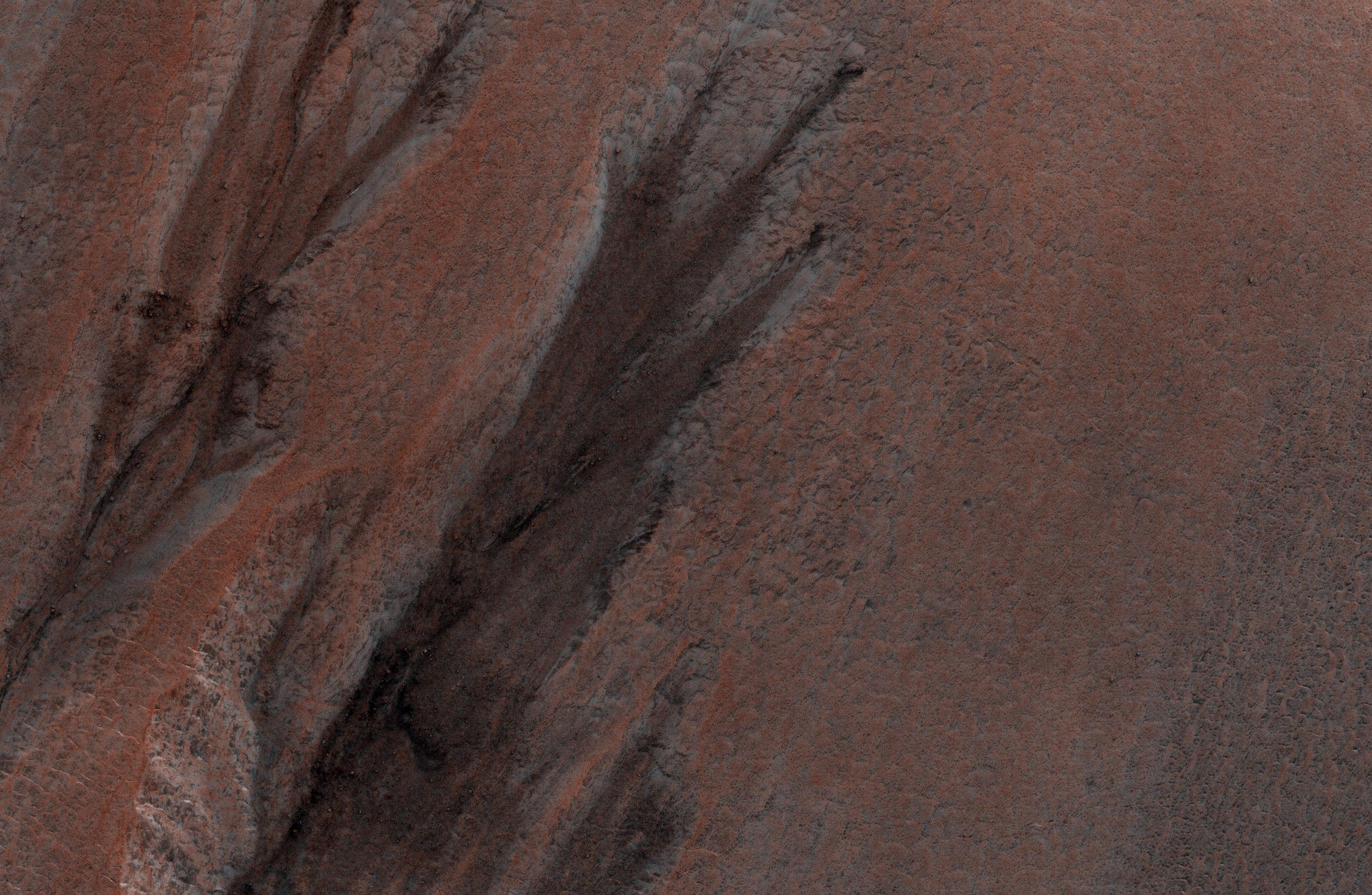
2017-05-02 |
Mars
|
Mars Reconnaissance Orbiter (MRO)
|
HiRISE
|
2880x1800x3 |
|
-
PIA21605:
-
Colorful Equatorial Gullies in Krupac Crater
Full Resolution:
TIFF
(15.56 MB)
JPEG
(934.8 kB)
|
|
|
2017-05-02 |
Mars
|
2001 Mars Odyssey
|
THEMIS
|
673x1432x3 |

|
-
PIA21545:
-
Gorgonum Chaos - False Color
Full Resolution:
TIFF
(1.988 MB)
JPEG
(112.5 kB)
|
|
|
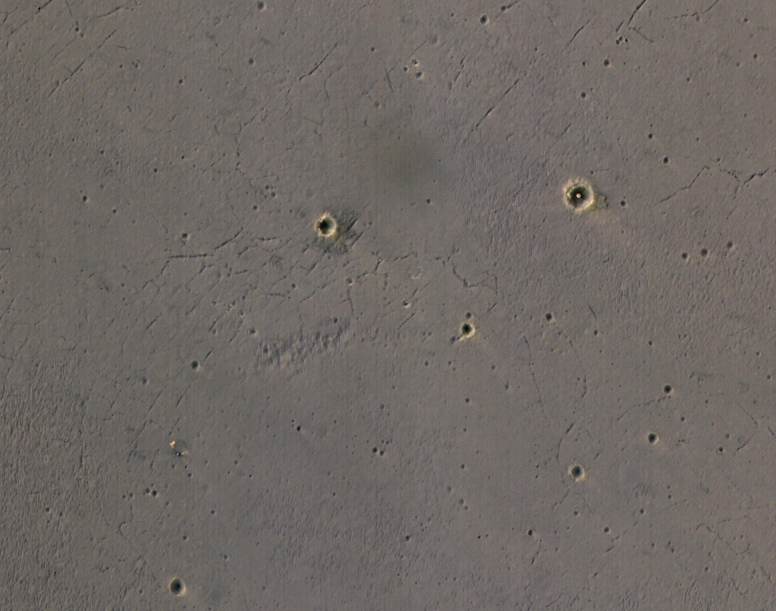
2017-05-01 |
Mars
|
Mars Reconnaissance Orbiter (MRO)
|
HiRISE
|
2880x1800x1 |
|
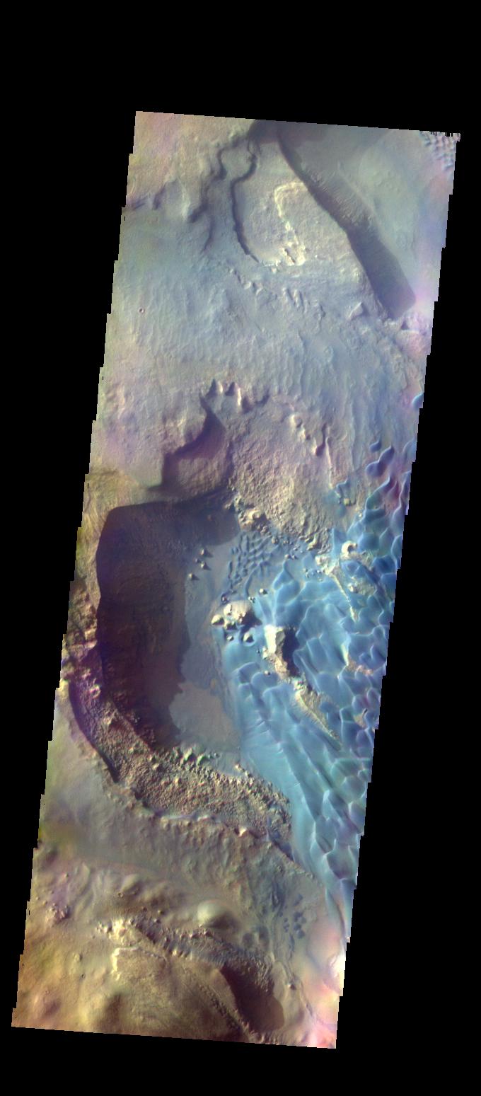
-
PIA21603:
-
Aging with Impacts
Full Resolution:
TIFF
(5.191 MB)
JPEG
(945 kB)
|
|
|
2017-05-01 |
Mars
|
2001 Mars Odyssey
|
THEMIS
|
672x1436x3 |
|
-
PIA21544:
-
Asimov Crater - False Color
Full Resolution:
TIFF
(1.836 MB)
JPEG
(78.21 kB)
|
|
|
2017-04-28 |
Mars
|
2001 Mars Odyssey
|
THEMIS
|
672x1436x3 |
|
-
PIA21543:
-
Asimov Crater - False Color
Full Resolution:
TIFF
(1.895 MB)
JPEG
(88.79 kB)
|
|
|
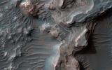
2017-04-27 |
Mars
|
Mars Reconnaissance Orbiter (MRO)
|
HiRISE
|
3543x2024x3 |
|
-
PIA21602:
-
Gullies with Color Anomalies
Full Resolution:
TIFF
(21.52 MB)
JPEG
(1.557 MB)
|
|
|
2017-04-27 |
Mars
|
2001 Mars Odyssey
|
THEMIS
|
675x1427x3 |
|
-
PIA21542:
-
Gorgonum Chaos - False Color
Full Resolution:
TIFF
(1.978 MB)
JPEG
(111 kB)
|
|
|
2017-04-26 |
Mars
|
Mars Reconnaissance Orbiter (MRO)
|
HiRISE
|
2880x1800x3 |
|
-
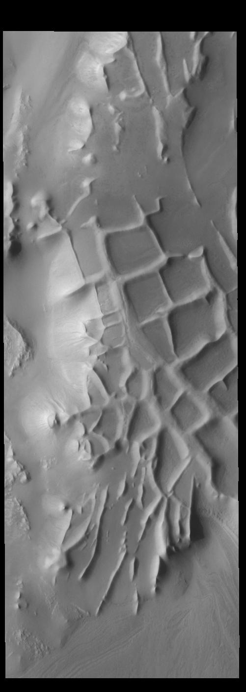
PIA21601:
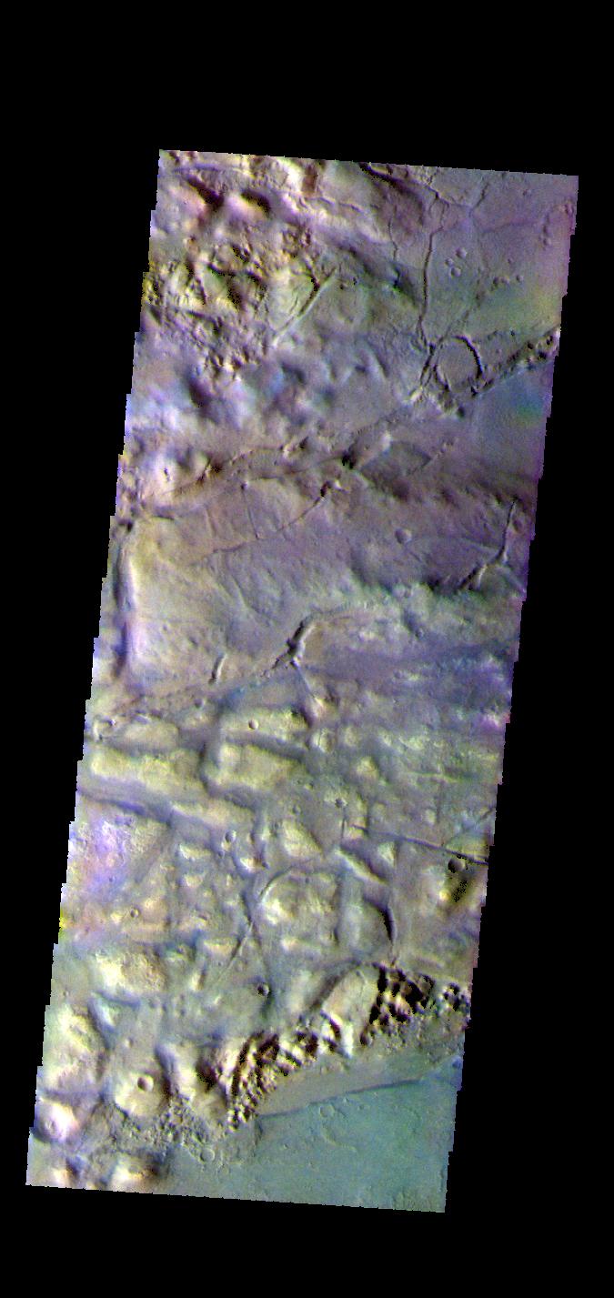
-
A Volcanic Fissure
Full Resolution:
TIFF
(12.62 MB)
JPEG
(494.3 kB)
|
|
|
2017-04-26 |
Mars
|
2001 Mars Odyssey
|
THEMIS
|
671x1436x3 |
|
-
PIA21541:
-
Craters - False Color
Full Resolution:
TIFF
(1.988 MB)
JPEG
(134.5 kB)
|
|
|
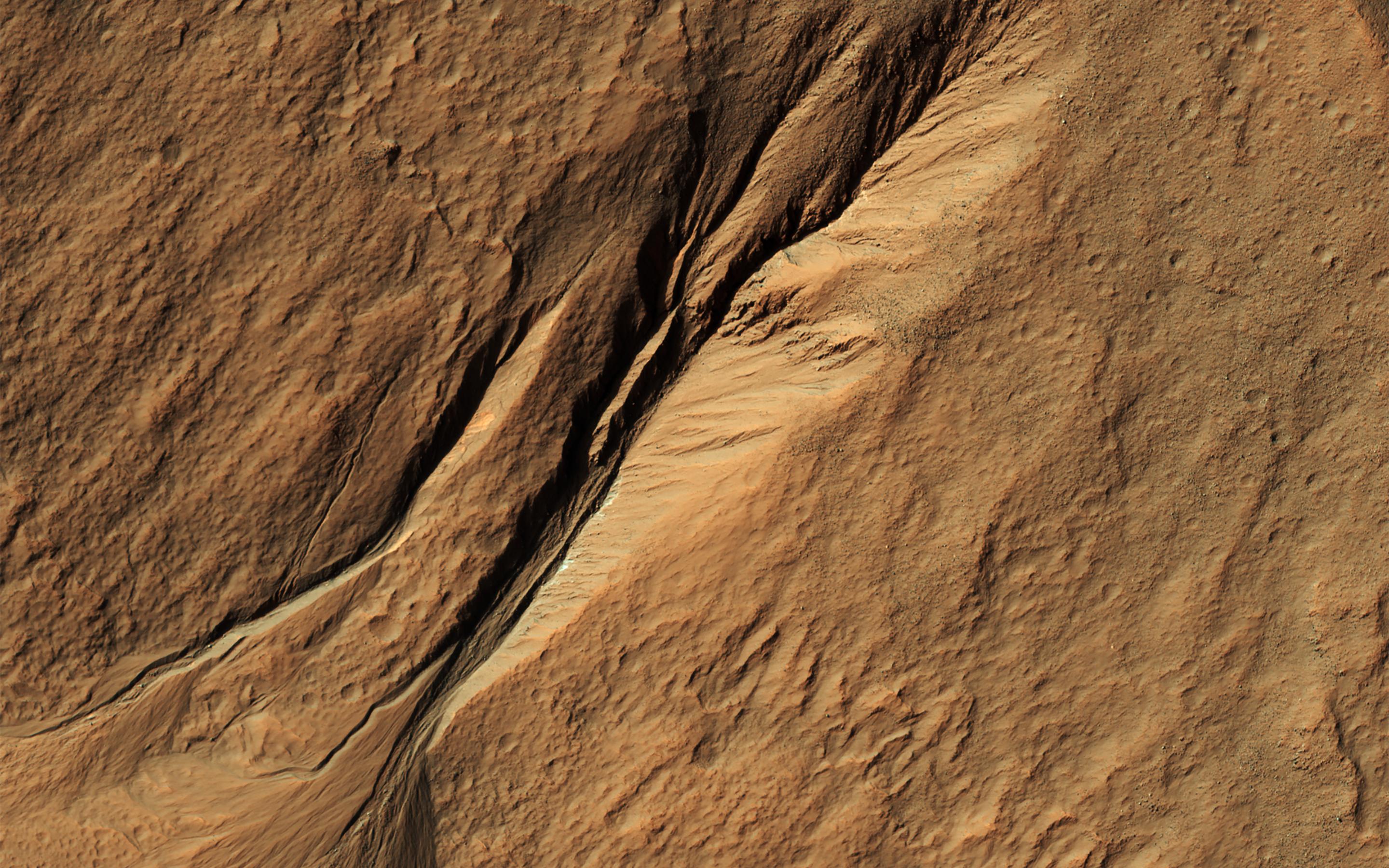
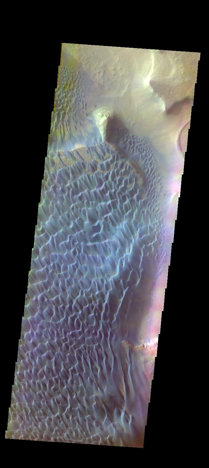
2017-04-25 |
Mars
|
Mars Reconnaissance Orbiter (MRO)
|
HiRISE
|
2880x1800x3 |
|
-
PIA21600:
-
Windblown Sand in Ganges Chasma
Full Resolution:
TIFF
(15.56 MB)
JPEG
(687.6 kB)
|
|
|
2017-04-25 |
Mars
|
2001 Mars Odyssey
|
THEMIS
|
674x1431x3 |
|
-
PIA21540:
-
Matara Crater Dunes - False Color
Full Resolution:
TIFF
(1.873 MB)
JPEG
(63.74 kB)
|
|
|
2017-04-24 |
Mars
|
Mars Reconnaissance Orbiter (MRO)
|
HiRISE
|
2880x1800x3 |
|
-
PIA21599:
-
How Old are Martian Gullies?
Full Resolution:
TIFF
(15.56 MB)
JPEG
(839.3 kB)
|
|
|
2017-04-24 |
Mars
|
2001 Mars Odyssey
|
THEMIS
|
672x1434x3 |
|
-
PIA21539:
-
Crater - False Color
Full Resolution:
TIFF
(1.961 MB)
JPEG
(102 kB)
|
|
|
2017-04-21 |
Mars
|
Mars Exploration Rover (MER)
Mars Reconnaissance Orbiter (MRO)
|
HiRISE
|
2558x2014x3 |
|
-
PIA21494:
-
Rover's Landing Hardware at Eagle Crater, Mars
Full Resolution:
TIFF
(11.9 MB)
JPEG
(733.9 kB)
|
|
|
2017-04-21 |
Mars
|
2001 Mars Odyssey
|
THEMIS
|
674x1430x3 |
|
-
PIA21538:
-
Proctor Crater Dunes - False Color
Full Resolution:
TIFF
(1.957 MB)
JPEG
(99.94 kB)
|
|
|
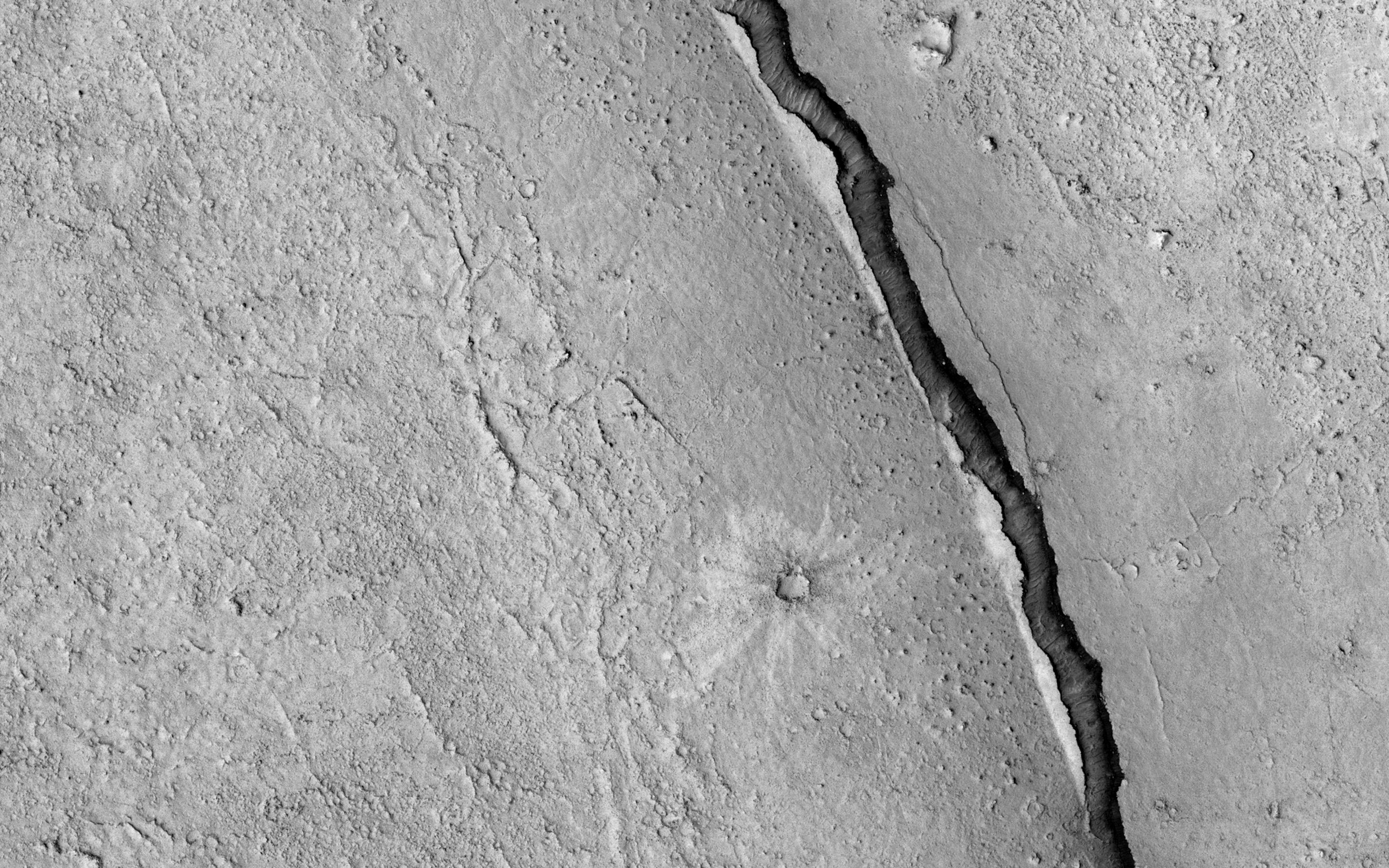
2017-04-20 |
Mars
|
Mars Reconnaissance Orbiter (MRO)
|
HiRISE
|
2880x1800x1 |

|
-
PIA21596:
-
It Shrinks! It Cracks!
Full Resolution:
TIFF
(5.191 MB)
JPEG
(984.4 kB)
|
|
|
2017-04-20 |
Mars
|
2001 Mars Odyssey
|
THEMIS
|
669x1437x3 |
|
-
PIA21537:
-
Matara Crater Dunes - False Color
Full Resolution:
TIFF
(1.953 MB)
JPEG
(73.67 kB)
|
|
|
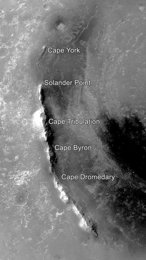
2017-04-19 |
Mars
|
Mars Exploration Rover (MER)
|
Panoramic Camera
|
900x239x3 |
|
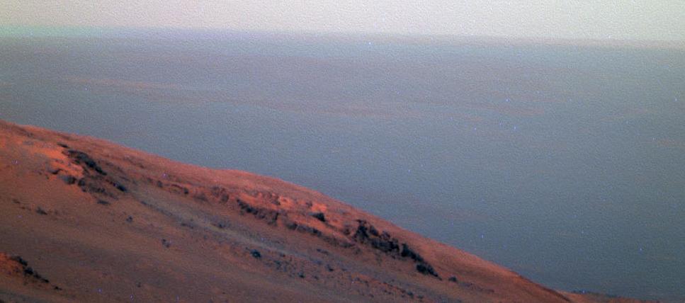
-
PIA21493:
Mars Rover Opportunity's Panorama of 'Rocheport'
Full Resolution:
TIFF
(394.1 kB)
JPEG
(24.79 kB)
|
|
|
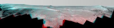
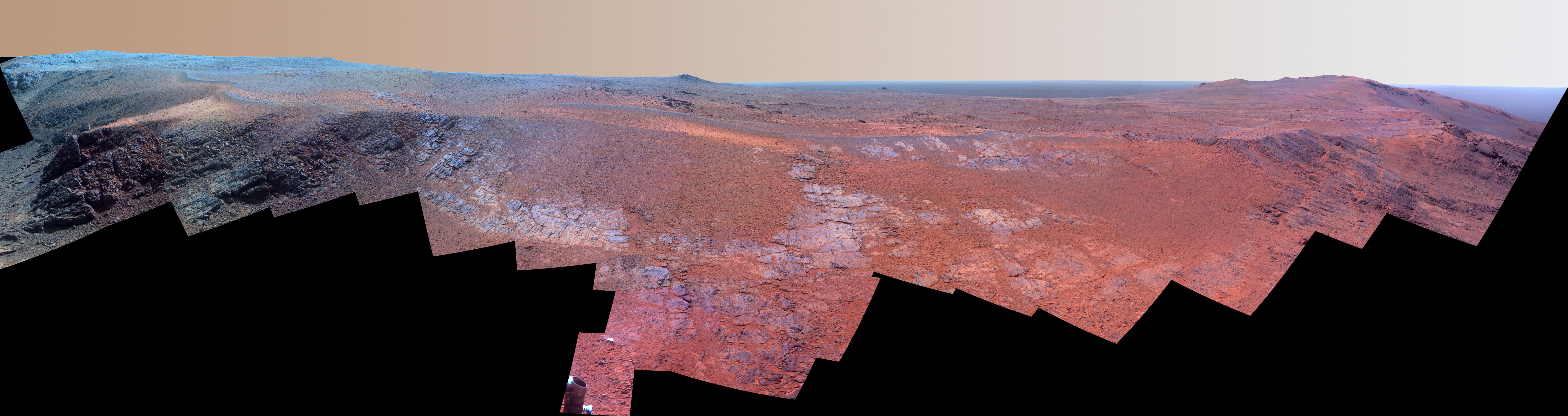
2017-04-19 |
Mars
|
Mars Exploration Rover (MER)
|
Panoramic Camera
|
7531x2000x3 |
|
-
PIA21492:
Mars Rover Opportunity's Panorama of 'Rocheport' (Enhanced Color)
Full Resolution:
TIFF
(30.55 MB)
JPEG
(1.732 MB)
|
|
|
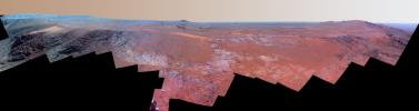
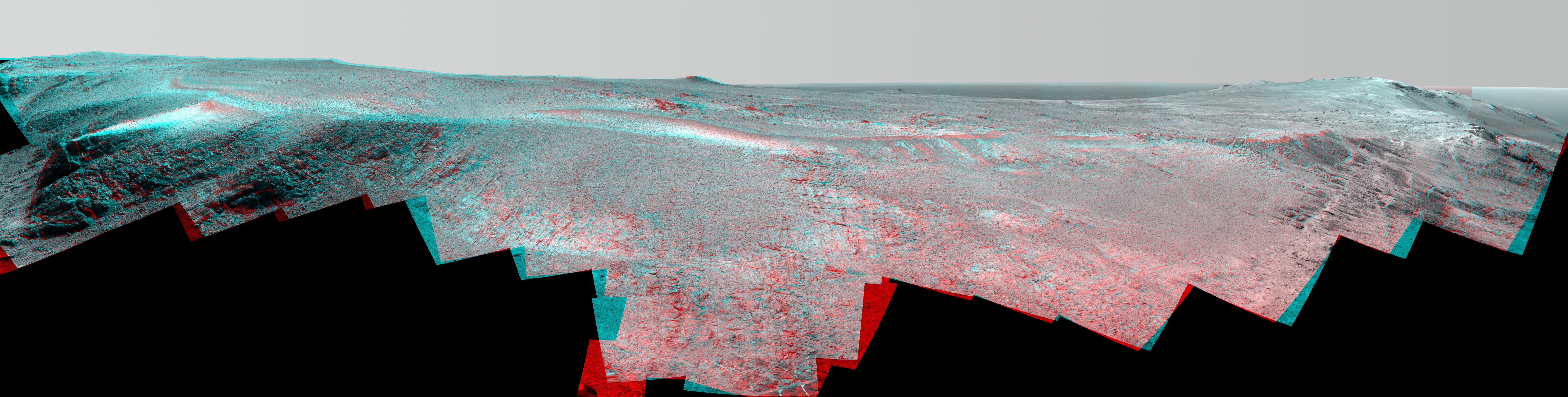
2017-04-19 |
Mars
|
Mars Exploration Rover (MER)
|
Panoramic Camera
|
7896x2000x3 |
|
-
PIA21491:
Mars Rover Opportunity's Panorama of 'Rocheport' (Stereo)
Full Resolution:
TIFF
(29.57 MB)
JPEG
(2.139 MB)
|
|
|
2017-04-19 |
Mars
|
Mars Exploration Rover (MER)
|
CTX
|
509x905x1 |
|
-
PIA21490:
-
Segments on Western Rim of Endeavour Crater, Mars
Full Resolution:
TIFF
(461.3 kB)
JPEG
(88.6 kB)
|
|
|
2017-04-19 |
Mars
|
Mars Reconnaissance Orbiter (MRO)
|
HiRISE
|
2880x1800x1 |
|
-
PIA21595:
-
Dune Transition in the High Southern Latitudes
Full Resolution:
TIFF
(4.262 MB)
JPEG
(712.3 kB)
|
|
|
2017-04-19 |
Mars
|
2001 Mars Odyssey
|
THEMIS
|
669x1436x3 |
|
-
PIA21535:
-
Crater Dunes - False Color
Full Resolution:
TIFF
(1.937 MB)
JPEG
(78.55 kB)
|
|
|
2017-04-18 |
Mars
|
Mars Reconnaissance Orbiter (MRO)
|
HiRISE
|
2880x1800x3 |
|
-
PIA21593:
-
A Winter's View of a Gullied Crater
Full Resolution:
TIFF
(15.56 MB)
JPEG
(883.3 kB)
|
|
|
2017-04-18 |
Mars
|
2001 Mars Odyssey
|
THEMIS
|
493x1400x3 |
|
-
PIA21534:
-
South Polar Cap -- False Color
Full Resolution:
TIFF
(1.88 MB)
JPEG
(75.57 kB)
|
|
|
2017-04-17 |
Mars
|
Mars Reconnaissance Orbiter (MRO)
|
HiRISE
|
2048x1256x1 |
|
-
PIA21591:
-
Secondary Craters in Bas Relief
Full Resolution:
TIFF
(2.575 MB)
JPEG
(570.4 kB)
|
|
|
2017-04-17 |
Mars
|
2001 Mars Odyssey
|
THEMIS
|
489x1398x3 |
|
-
PIA21533:
-
Polar Ice - False Color
Full Resolution:
TIFF
(1.906 MB)
JPEG
(75.08 kB)
|
|
|
2017-04-14 |
Mars
|
2001 Mars Odyssey
|
THEMIS
|
755x1581x3 |
|
-
PIA21532:
-
Tempe Fossae - False Color
Full Resolution:
TIFF
(2.269 MB)
JPEG
(75.47 kB)
|
|
|
2017-04-13 |
Mars
|
Mars Reconnaissance Orbiter (MRO)
|
HiRISE
|
3459x2024x3 |
|
-
PIA21587:
-
Lakebeds in Holden Crater
Full Resolution:
TIFF
(21.01 MB)
JPEG
(1.306 MB)
|
|
|
2017-04-13 |
Mars
|
2001 Mars Odyssey
|
THEMIS
|
704x1537x3 |
|
-
PIA21531:
-
Daedalia Planum - False Color
Full Resolution:
TIFF
(2.203 MB)
JPEG
(125.5 kB)
|
|
|
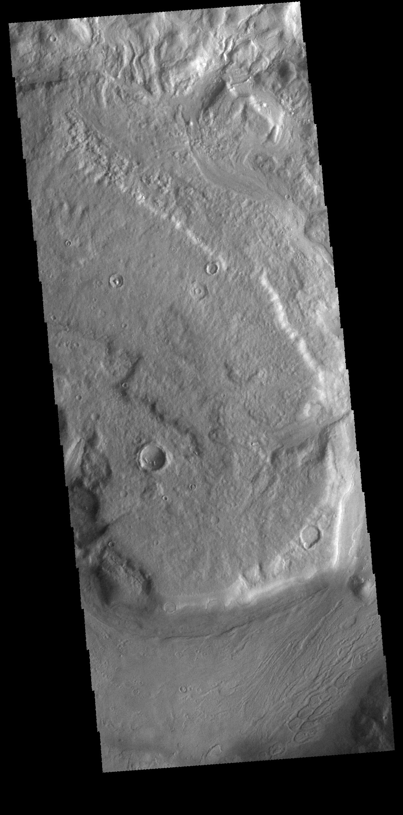
2017-04-12 |
Mars
|
Mars Reconnaissance Orbiter (MRO)
|
HiRISE
|
2880x1800x3 |
|
-
PIA21586:
-
Sources of Gullies in Hale Crater
Full Resolution:
TIFF
(15.56 MB)
JPEG
(765.4 kB)
|
|
|
2017-04-12 |
Mars
|
2001 Mars Odyssey
|
THEMIS
|
725x1550x3 |
|
-
PIA21530:
-
Gale Crater - False Color
Full Resolution:
TIFF
(2.178 MB)
JPEG
(98.18 kB)
|
|
|
2017-04-11 |
Mars
|
Mars Reconnaissance Orbiter (MRO)
|
HiRISE
|
2880x1800x3 |
|
-
PIA21585:
-
A Mesa in Noctis Labyrinthus
Full Resolution:
TIFF
(15.56 MB)
JPEG
(798 kB)
|
|
|
2017-04-11 |
Mars
|
2001 Mars Odyssey
|
THEMIS
|
725x1549x3 |
|
-
PIA21529:
-
Gale Crater - False Color
Full Resolution:
TIFF
(2.187 MB)
JPEG
(107.4 kB)
|
|
|
2017-04-10 |
Mars
|
Mars Reconnaissance Orbiter (MRO)
|
HiRISE
|
2880x1800x3 |
|
-
PIA21580:
-
Clinoforms in Melas Chasma
Full Resolution:
TIFF
(15.56 MB)
JPEG
(1.148 MB)
|
|
|
2017-04-10 |
Mars
|
2001 Mars Odyssey
|
THEMIS
|
670x1425x1 |
|
-
PIA21528:
-
Gasa Crater
Full Resolution:
TIFF
(703.4 kB)
JPEG
(90.24 kB)
|
|
|
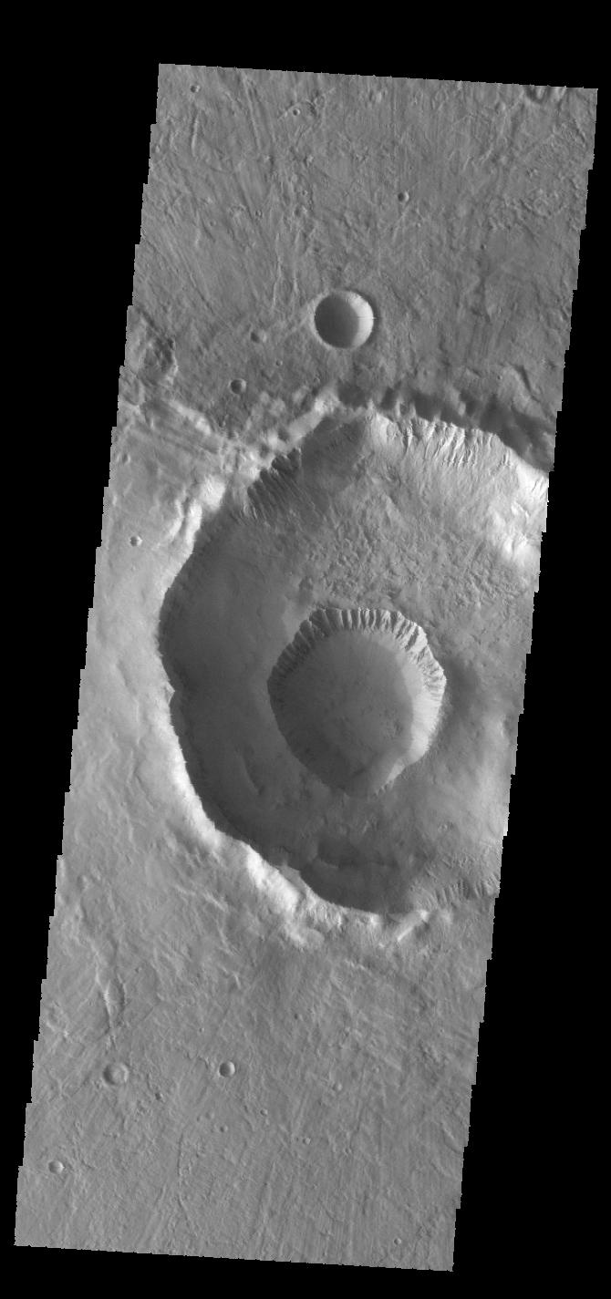
2017-04-07 |
Mars
|
2001 Mars Odyssey
|
THEMIS
|
1326x2679x1 |
|
-
PIA21527:
-
Reull Vallis
Full Resolution:
TIFF
(2.633 MB)
JPEG
(348.9 kB)
|
|
|
2017-04-06 |
Mars
|
Mars Reconnaissance Orbiter (MRO)
|
HiRISE
|
2880x1800x1 |
|
-
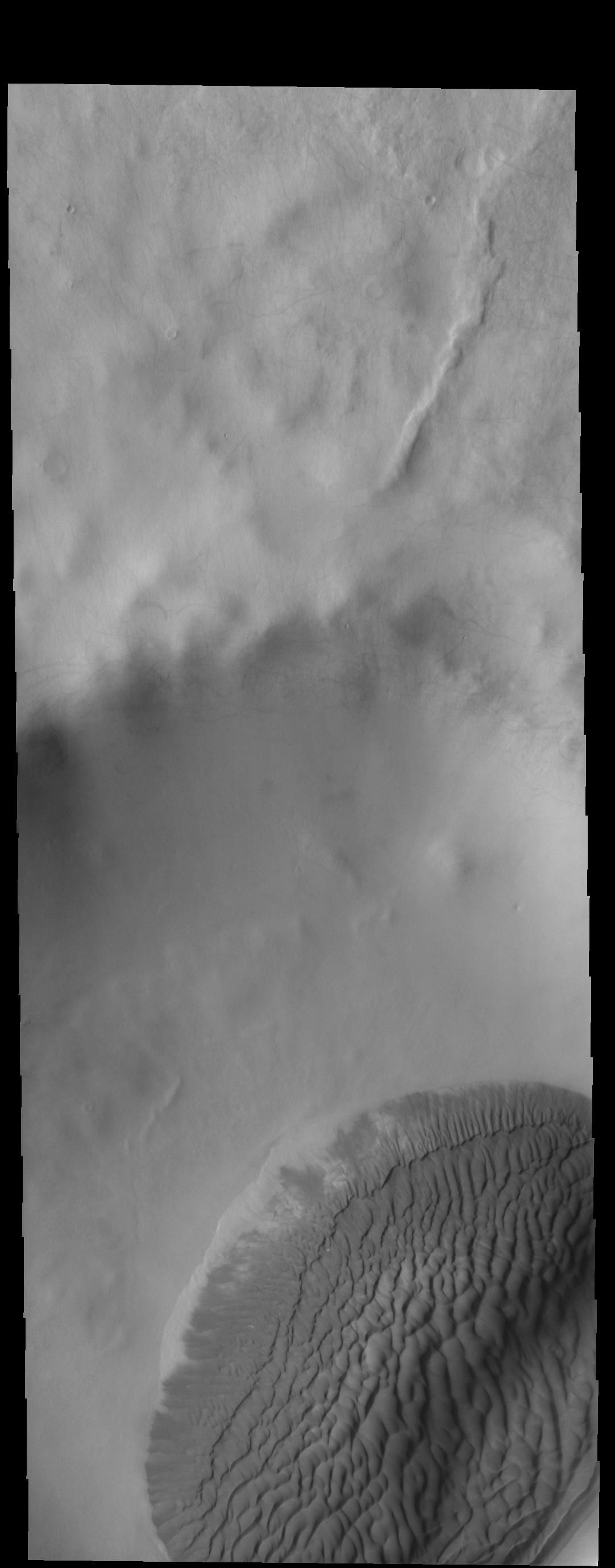
PIA21579:
-
South Polar Spiral
Full Resolution:
TIFF
(5.191 MB)
JPEG
(1.259 MB)
|
|
|
2017-04-06 |
Mars
|
2001 Mars Odyssey
|
THEMIS
|
545x1462x1 |
|
-
PIA21526:
-
Charlier Crater Dunes
Full Resolution:
TIFF
(650.2 kB)
JPEG
(66.09 kB)
|
|
|
2017-04-05 |
Mars
|
Mars Reconnaissance Orbiter (MRO)
|
HiRISE
|
2880x1800x3 |
|
-
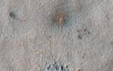
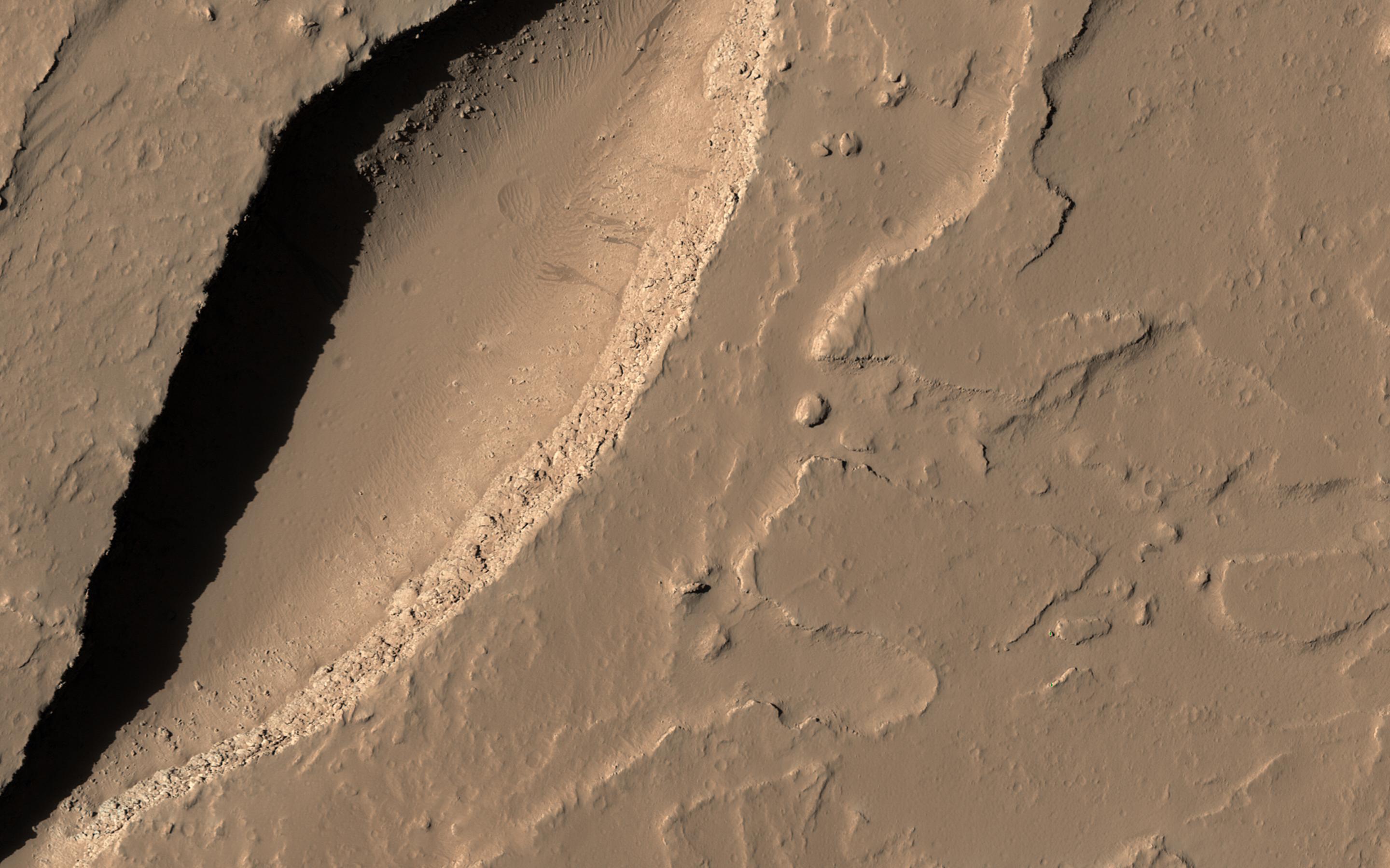
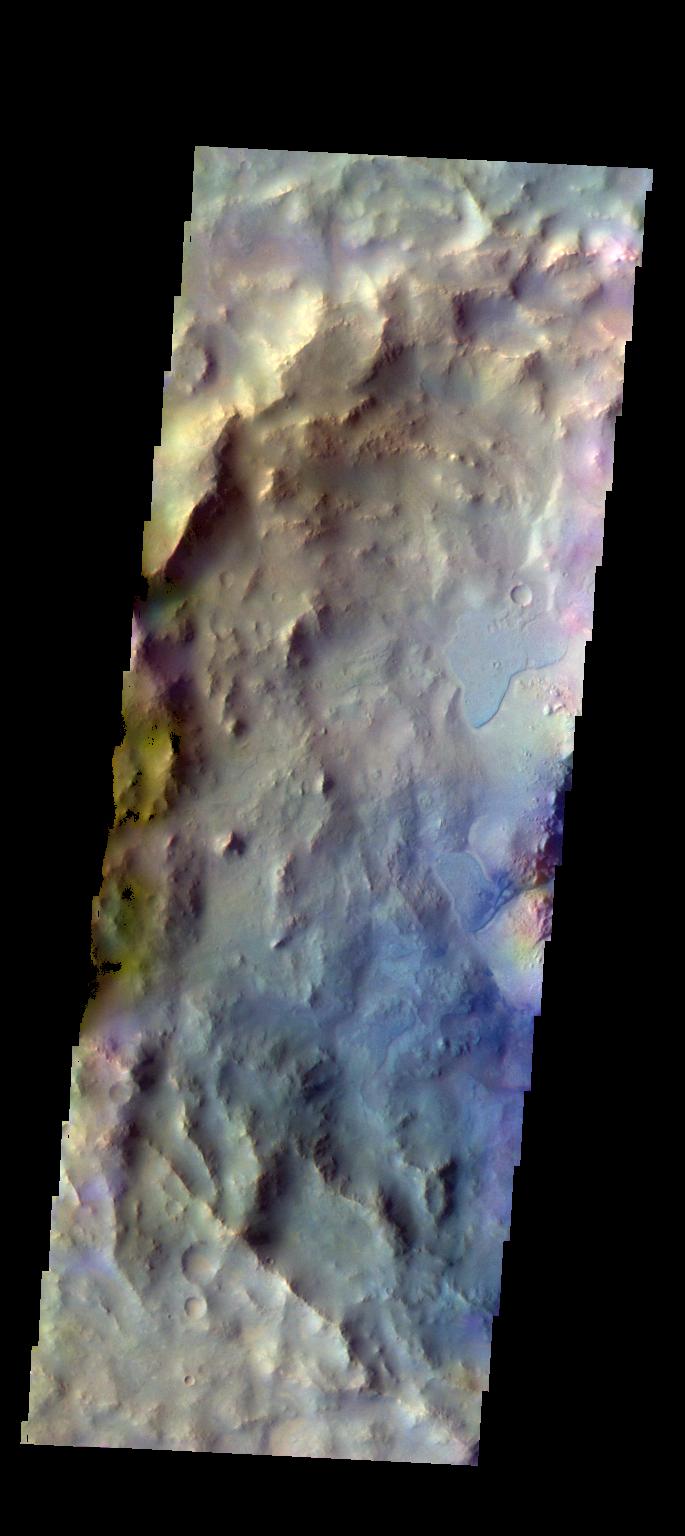
PIA21578:
-
A New Impact Site in the Southern Middle Latitudes
Full Resolution:
TIFF
(14.35 MB)
JPEG
(694.7 kB)
|
|
|
2017-04-05 |
Mars
|
2001 Mars Odyssey
|
THEMIS
|
501x1405x1 |
|
-
PIA21525:
-
Angustus Labyrinthus
Full Resolution:
TIFF
(637.5 kB)
JPEG
(55.26 kB)
|
|
|
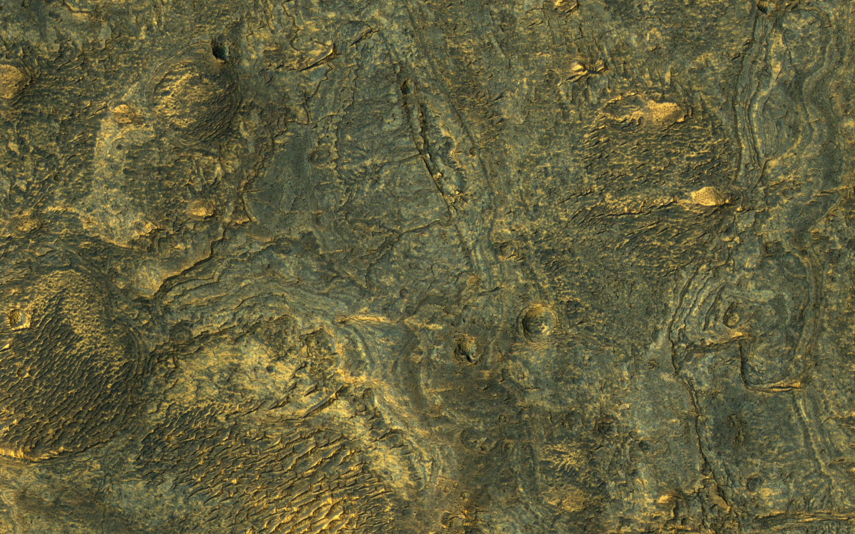
2017-04-04 |
Mars
|
Mars Reconnaissance Orbiter (MRO)
|
HiRISE
|
2880x1800x3 |
|
-
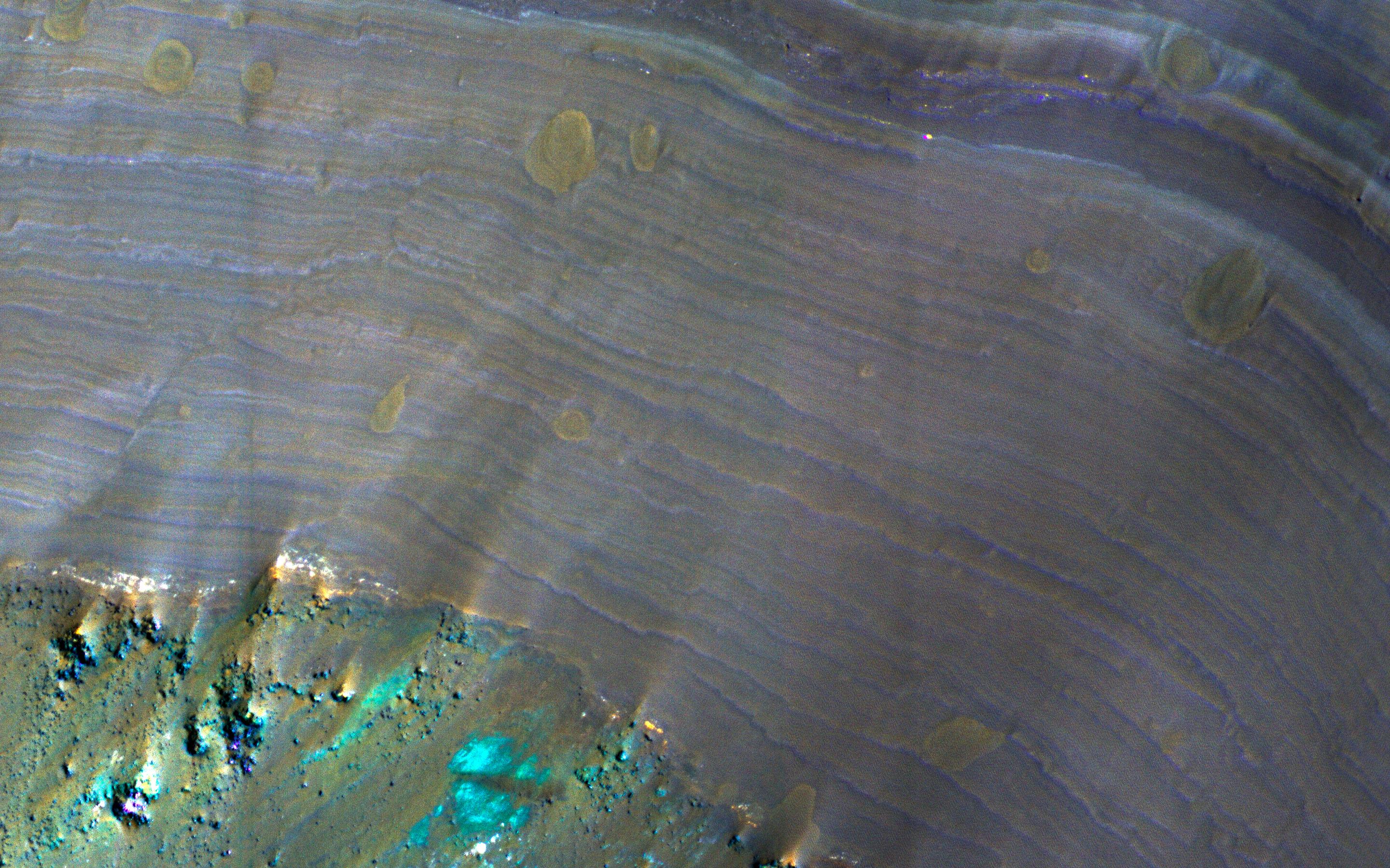
PIA21577:
-
A Sneak Peek into Saheki's Secret Layers
Full Resolution:
TIFF
(15.56 MB)
JPEG
(1.07 MB)
|
|
|
2017-04-04 |
Mars
|
2001 Mars Odyssey
|
THEMIS
|
673x1432x1 |
|
-
PIA21524:
-
Crater Dunes
Full Resolution:
TIFF
(687.4 kB)
JPEG
(65.79 kB)
|
|
|
2017-04-04 |
Mars
|
Mars Reconnaissance Orbiter (MRO)
|
HiRISE
|
2880x1800x1 |
|
-
PIA21576:
-
Is that an Impact Crater?
Full Resolution:
TIFF
(5.191 MB)
JPEG
(1.411 MB)
|
|
|
2017-04-03 |
Mars
|
2001 Mars Odyssey
|
THEMIS
|
671x1426x1 |
|
-
PIA21523:
-
Crater Gullies
Full Resolution:
TIFF
(696.2 kB)
JPEG
(83.85 kB)
|
|
|
2017-03-31 |
Mars
|
Mars Reconnaissance Orbiter (MRO)
|
HiRISE
|
2880x1800x3 |
|
-
PIA21575:
-
Layers in Galle Crater
Full Resolution:
TIFF
(15.56 MB)
JPEG
(1.236 MB)
|
|
|
2017-03-31 |
Mars
|
2001 Mars Odyssey
|
THEMIS
|
666x1434x1 |
|
-
PIA21522:
-
Crater Dunes
Full Resolution:
TIFF
(682.7 kB)
JPEG
(75.79 kB)
|
|
|
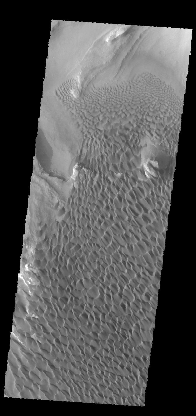
2017-03-30 |
Mars
|
2001 Mars Odyssey
|
THEMIS
|
1082x2757x1 |
|
-
PIA21521:
-
Crater Dunes
Full Resolution:
TIFF
(2.273 MB)
JPEG
(171.6 kB)
|
|
|
2017-03-30 |
Mars
|
Mars Reconnaissance Orbiter (MRO)
|
HiRISE
|
2880x1800x3 |
|
-
PIA21574:
-
Distinctive Brightness
Full Resolution:
TIFF
(13.99 MB)
JPEG
(694.8 kB)
|
|
|
2017-03-29 |
Mars
|
Mars Reconnaissance Orbiter (MRO)
|
HiRISE
|
1650x1275x3 |
|
-
PIA21489:
-
Advance Inspection of NASA's Next Mars Landing Site
Full Resolution:
TIFF
(2.287 MB)
JPEG
(273.9 kB)
|
|
|
2017-03-29 |
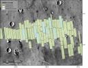
Mars
|
Mars Reconnaissance Orbiter (MRO)
|
CTX
|
10000x5000x1 |
|
-
PIA21488:
-
Mars Global Coverage by Context Camera on MRO
Full Resolution:
TIFF
(48.71 MB)
JPEG
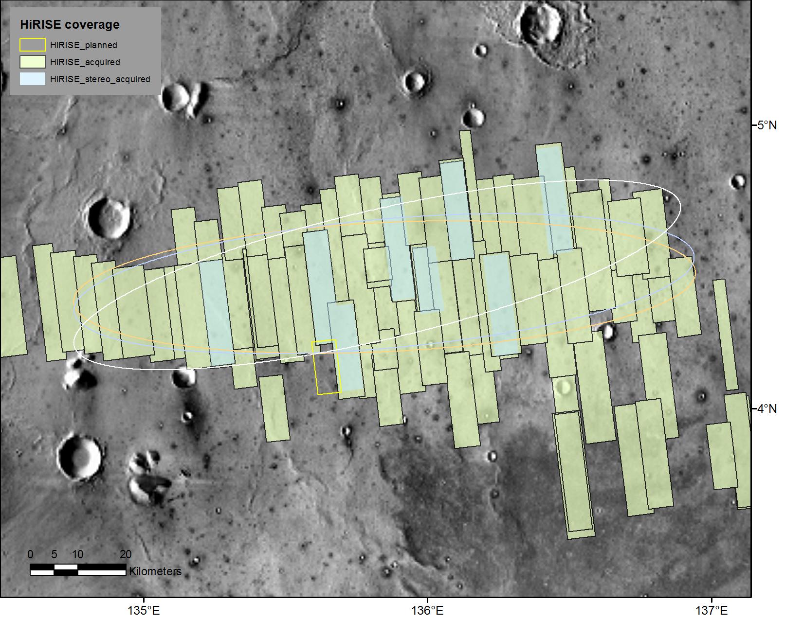
(8.229 MB)
|
|
|
2017-03-29 |
Mars
|
Mars Reconnaissance Orbiter (MRO)
|
CTX
|
10000x5000x1 |

|
-
PIA21487:
-
A Decade of Compiling the Sharpest Mars Map
Full Resolution:
TIFF
(48.71 MB)
JPEG
(8.229 MB)
|
|
|
2017-03-29 |
Mars
|
2001 Mars Odyssey
|
THEMIS
|
673x1430x1 |

|
-
PIA21520:
-
Rabe Crater Dunes
Full Resolution:
TIFF
(706.7 kB)
JPEG
(92.9 kB)
|
|
|
2017-03-28 |
Mars
|
Mars Reconnaissance Orbiter (MRO)
|
HiRISE
|
2880x1800x3 |
|
-
PIA21573:
-
Plains South of Valles Marineris
Full Resolution:
TIFF
(15.56 MB)
JPEG
(1.032 MB)
|
|
|
2017-03-28 |
Mars
|
2001 Mars Odyssey
|
THEMIS
|
320x5392x1 |

|
-
PIA21519:
-
Rabe Dunes in IR
Full Resolution:
TIFF
(1.727 MB)
JPEG
(250.8 kB)
|
|
|
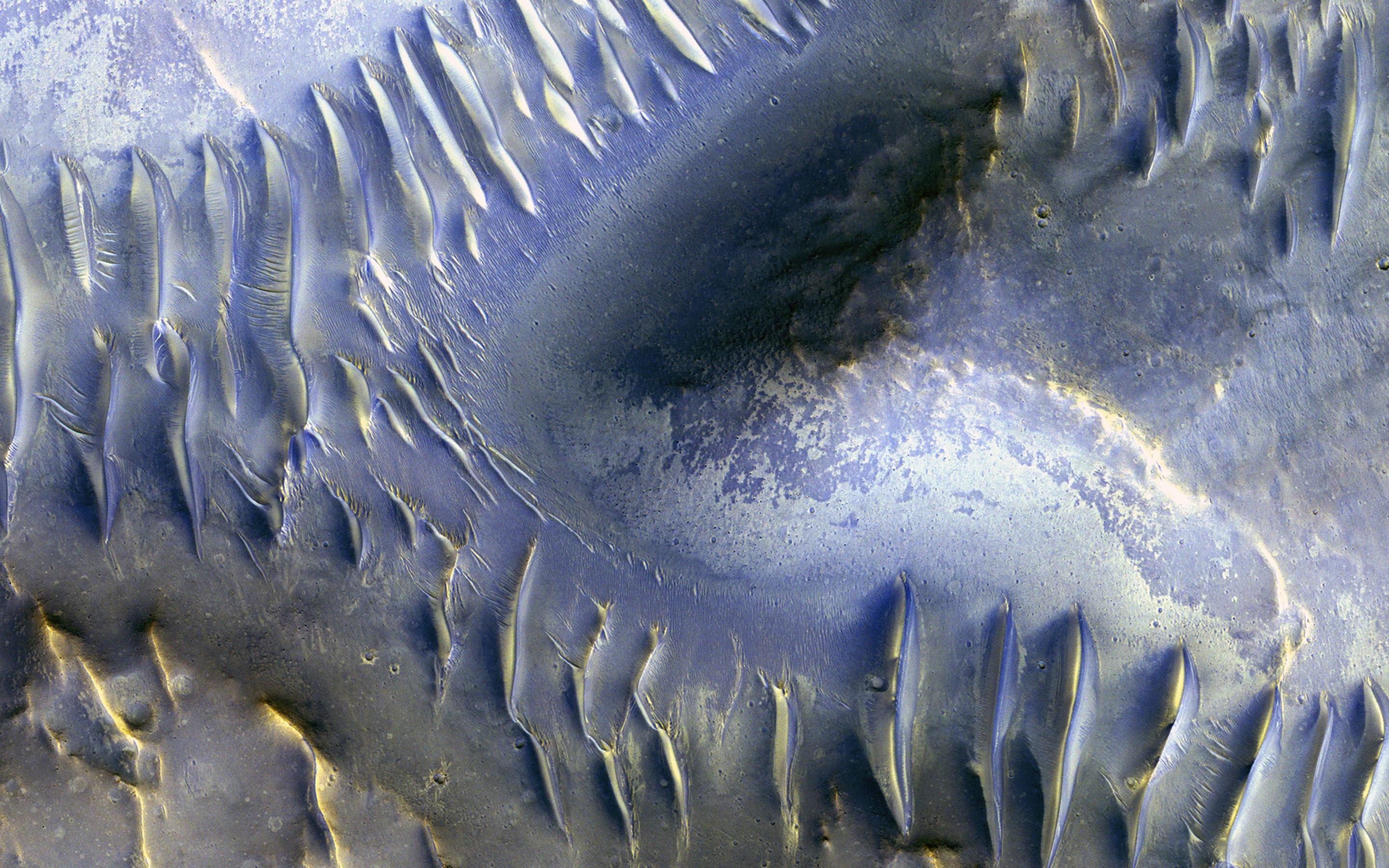
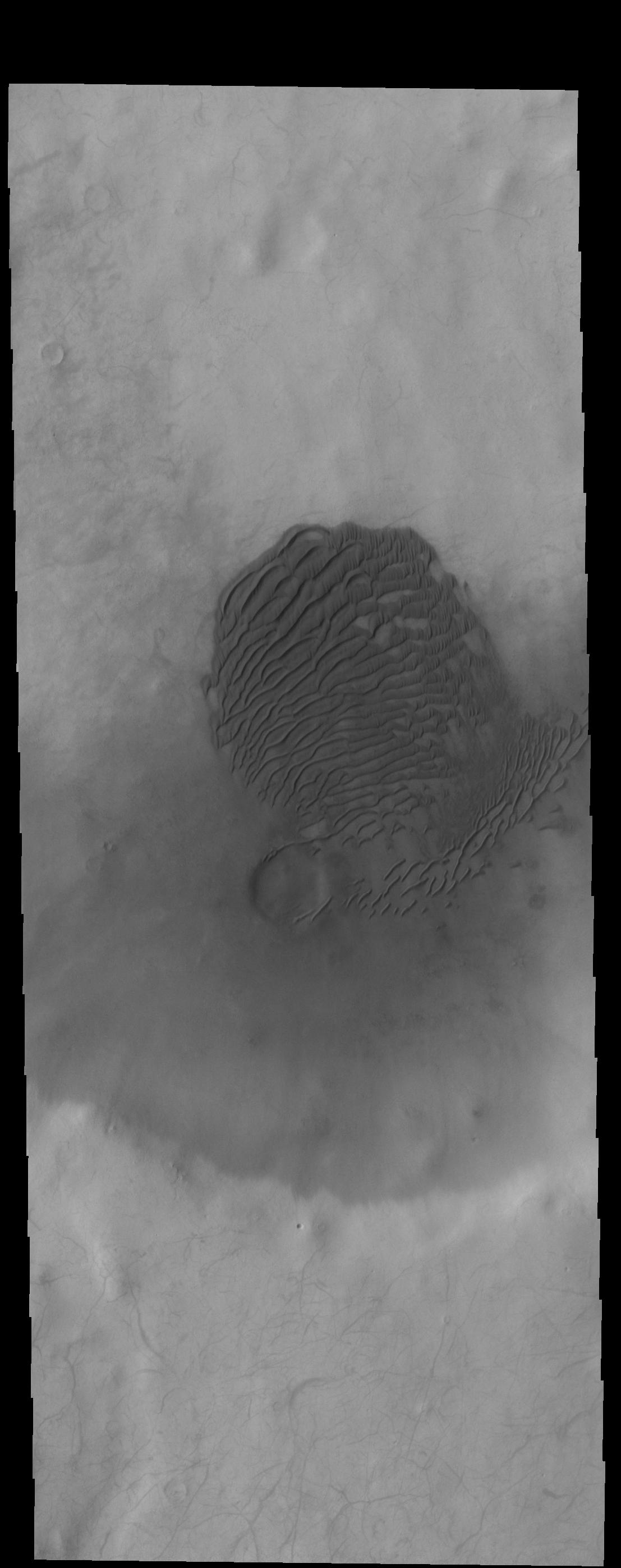
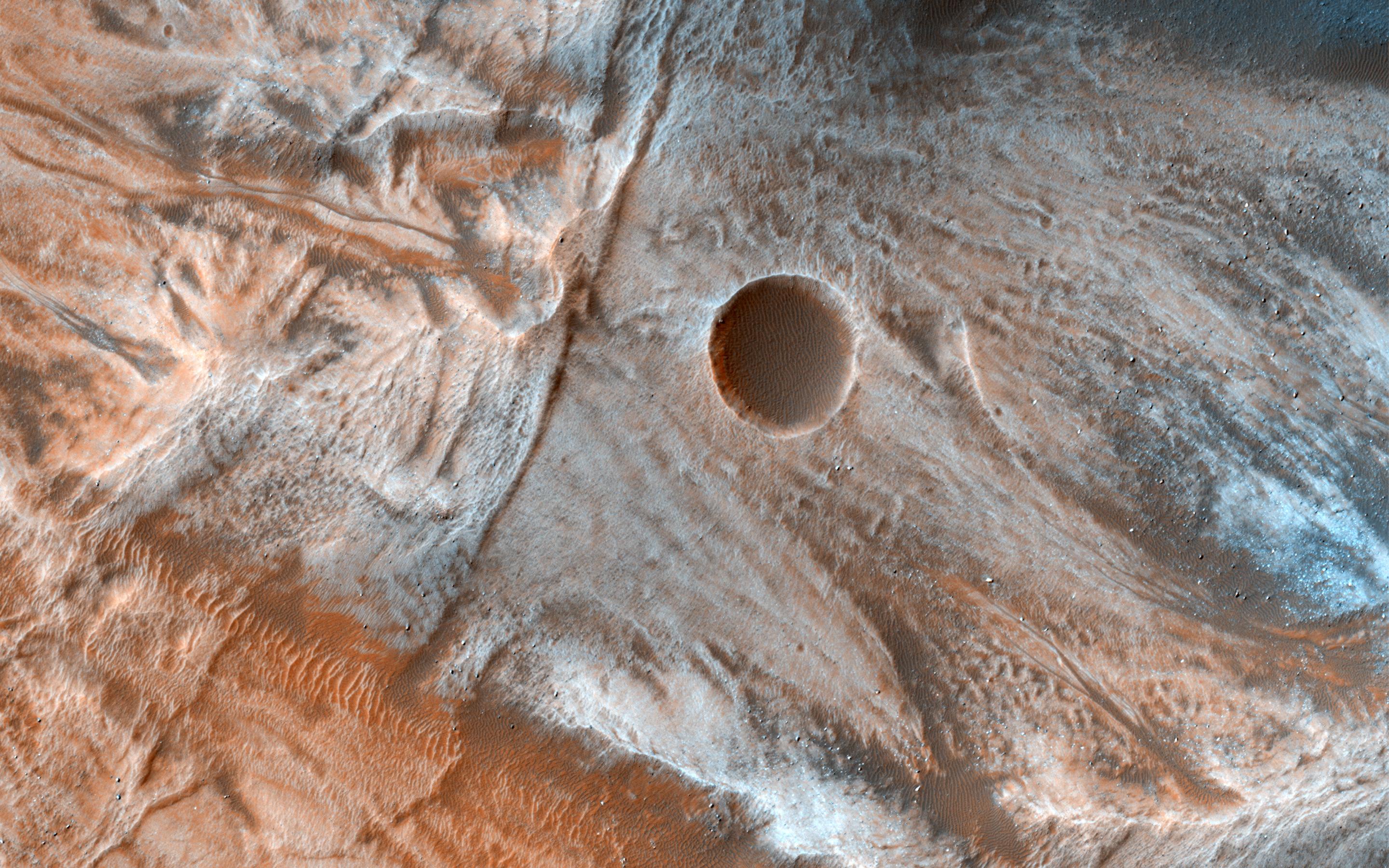
2017-03-27 |
Mars
|
Mars Reconnaissance Orbiter (MRO)
|
HiRISE
|
2880x1800x3 |
|
-
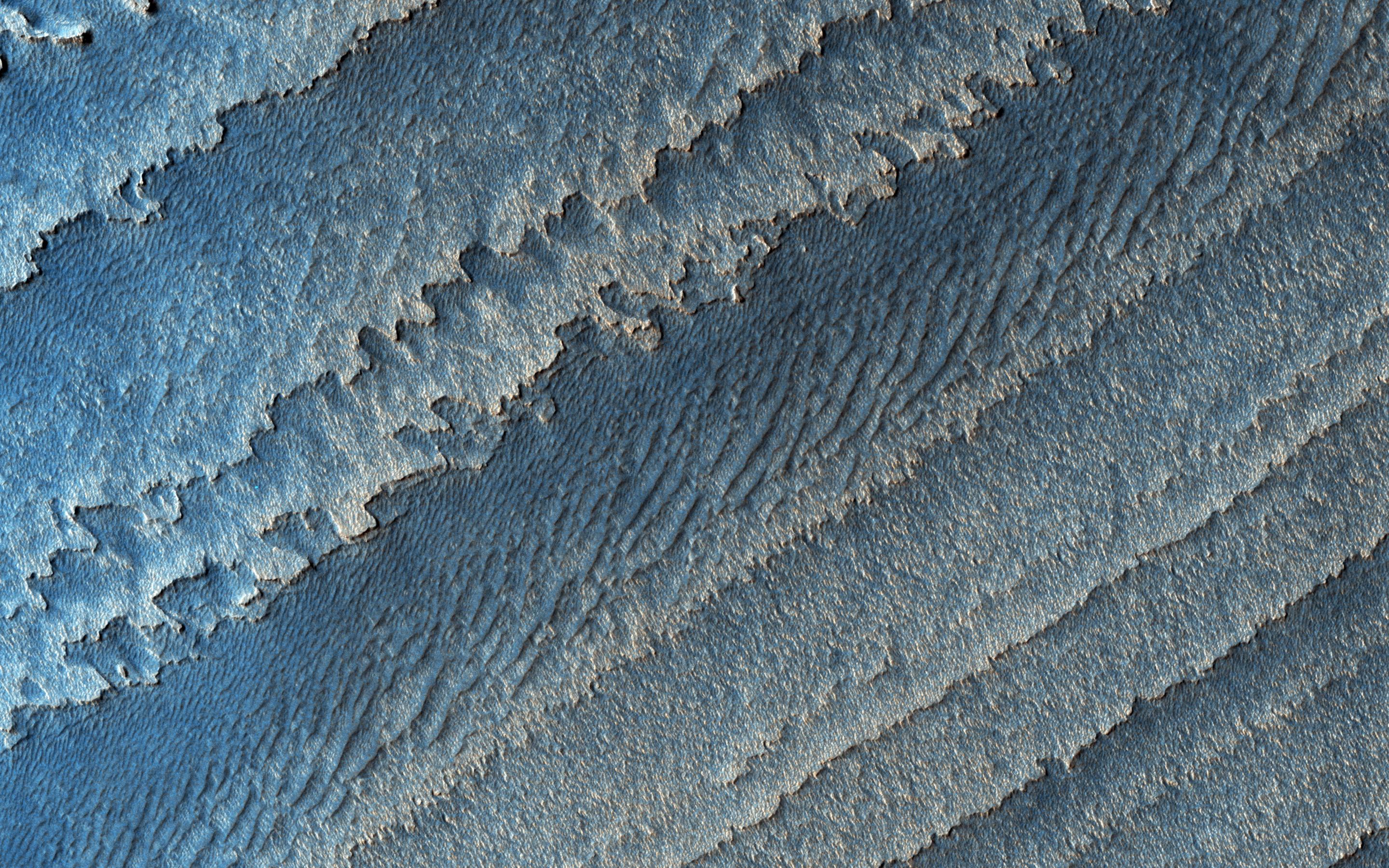
PIA21572:
-
The Splitting of the Dunes
Full Resolution:
TIFF
(15.56 MB)
JPEG
(902 kB)
|
|
|
2017-03-27 |
Mars
|
2001 Mars Odyssey
|
THEMIS
|
1342x2697x1 |

|
-
PIA21517:
-
Russell Crater Dunes
Full Resolution:
TIFF
(2.369 MB)
JPEG
(221.7 kB)
|
|
|
2017-03-24 |
Mars
|
2001 Mars Odyssey
|
THEMIS
|
733x1552x3 |
|
-
PIA21516:
-
Gale Crater - False Color
Full Resolution:
TIFF
(2.192 MB)
JPEG
(102.3 kB)
|
|
|
2017-03-23 |
Mars
|
Mars Reconnaissance Orbiter (MRO)
|
HiRISE
|
2880x1800x1 |
|
-
PIA21571:
-
Dunes of the Southern Highlands
Full Resolution:
TIFF
(4.335 MB)
JPEG
(728.2 kB)
|
|
|
2017-03-23 |
Mars
|
2001 Mars Odyssey
|
THEMIS
|
692x1538x3 |
|
-
PIA21515:
-
Coprates Chasma - False Color
Full Resolution:
TIFF
(2.113 MB)
JPEG
(80.67 kB)
|
|
|
2017-03-22 |
Mars
|
Mars Reconnaissance Orbiter (MRO)
|
HiRISE
|
2880x1800x3 |
|
-
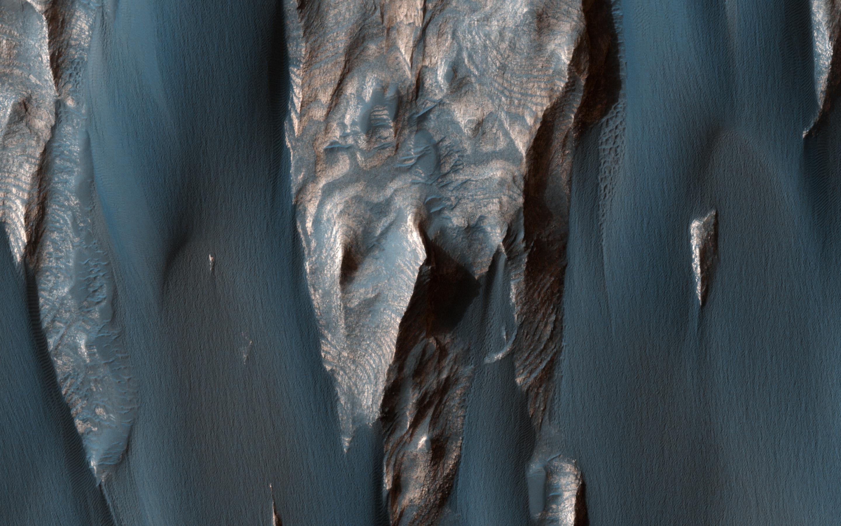
PIA21570:
-
To Great Depths
Full Resolution:
TIFF
(15.56 MB)
JPEG
(901 kB)
|
|
|
2017-03-22 |
Mars
|
2001 Mars Odyssey
|
THEMIS
|
680x1549x3 |
|
-
PIA21514:
-
Rabe Crater Dunes - False Color
Full Resolution:
TIFF
(2.151 MB)
JPEG
(98.65 kB)
|
|
|
2017-03-21 |
Mars
|
Mars Reconnaissance Orbiter (MRO)
|
HiRISE
|
2880x1880x3 |
|
-
PIA21568:
-
Gullies in Winter Shadow
Full Resolution:
TIFF
(16.05 MB)
JPEG
(946.9 kB)
|
|
|
2017-03-21 |
Mars
|
Mars Science Laboratory (MSL)
|
MAHLI
|
1446x825x3 |
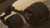
|
-
PIA21486:
-
Break in Raised Tread on Curiosity Wheel
Full Resolution:
TIFF
(2.727 MB)
JPEG
(101 kB)
|
|
|
2017-03-21 |
Mars
|
2001 Mars Odyssey
|
THEMIS
|
719x1553x3 |

|
-
PIA21513:
-
Arabia Terra Crater - False Color
Full Resolution:
TIFF
(2.143 MB)
JPEG
(90.54 kB)
|
|
|
2017-03-20 |
Mars
|
Mars Reconnaissance Orbiter (MRO)
|
HiRISE
|
2880x1800x3 |

|
-
PIA21567:
-
The Hills are Colorful in Juventae Chasma
Full Resolution:
TIFF
(15.56 MB)
JPEG
(624.7 kB)
|
|
|
2017-03-20 |
Mars
|
2001 Mars Odyssey
|
THEMIS
|
692x1548x3 |

|
-
PIA21512:
-
Rabe Crater Dunes - False Color
Full Resolution:
TIFF
(2.16 MB)
JPEG
(91.5 kB)
|
|
|
2017-03-17 |
Mars
|
2001 Mars Odyssey
|
THEMIS
|
691x1538x3 |
|
-
PIA21511:
-
Ganges Chasma - False Color
Full Resolution:
TIFF
(2.082 MB)
JPEG
(68.04 kB)
|
|
|
2017-03-16 |
Mars
|
Mars Reconnaissance Orbiter (MRO)
|
HiRISE
|
2880x1800x3 |
|
-
PIA21563:
-
Layered Deposits in Uzboi Vallis
Full Resolution:
TIFF
(15.56 MB)
JPEG
(662.6 kB)
|
|
|
2017-03-16 |
Mars
|
2001 Mars Odyssey
|
THEMIS
|
678x1543x3 |
|
-
PIA21510:
-
Crater Dunes - False Color
Full Resolution:
TIFF
(2.125 MB)
JPEG
(98.98 kB)
|
|
|
2017-03-15 |
Mars
|
Mars Reconnaissance Orbiter (MRO)
|
HiRISE
|
2880x1800x3 |
|
-
PIA21561:
-
A Closer Look at Holden Crater
Full Resolution:
TIFF
(13.84 MB)
JPEG
(739.5 kB)
|
|
|
2017-03-15 |
Mars
|
2001 Mars Odyssey
|
THEMIS
|
688x1537x3 |
|
-
PIA21508:
-
Margaritifer Terra - False Color
Full Resolution:
TIFF
(2.211 MB)
JPEG
(132 kB)
|
|
|
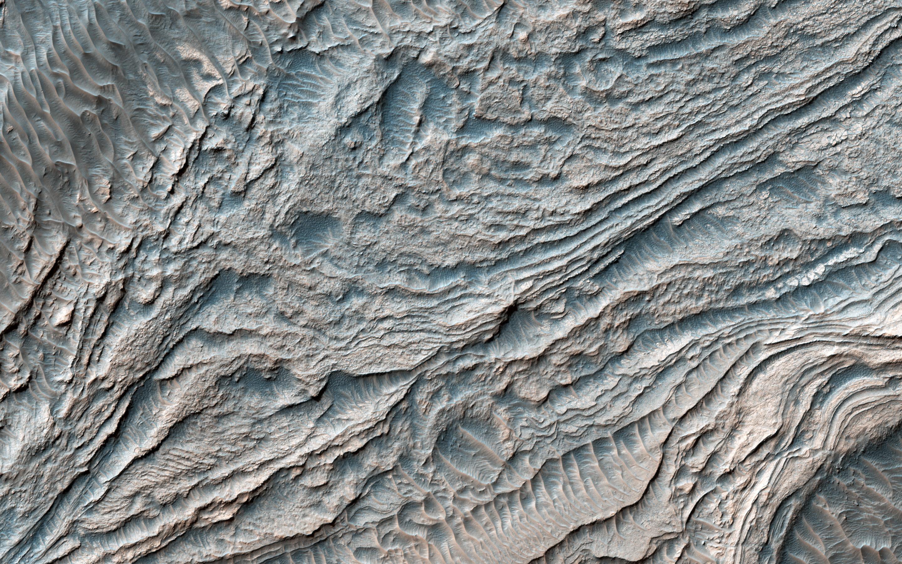
2017-03-14 |
Mars
|
Mars Reconnaissance Orbiter (MRO)
|
HiRISE
|
2880x1800x3 |
|
-
PIA21560:
-
Fans and Crater Floor Deposits Southeast of Vinogradov Crater
Full Resolution:
TIFF
(15.56 MB)
JPEG
(1.17 MB)
|
|
|
2017-03-14 |
Mars
|
2001 Mars Odyssey
|
THEMIS
|
685x1536x3 |

|
-
PIA21507:
-
Elorza Crater - False Color
Full Resolution:
TIFF
(2.164 MB)
JPEG
(88.28 kB)
|
|
|
2017-03-13 |
Mars
|
Mars Reconnaissance Orbiter (MRO)
|
HiRISE
|
2880x1800x3 |

|
-
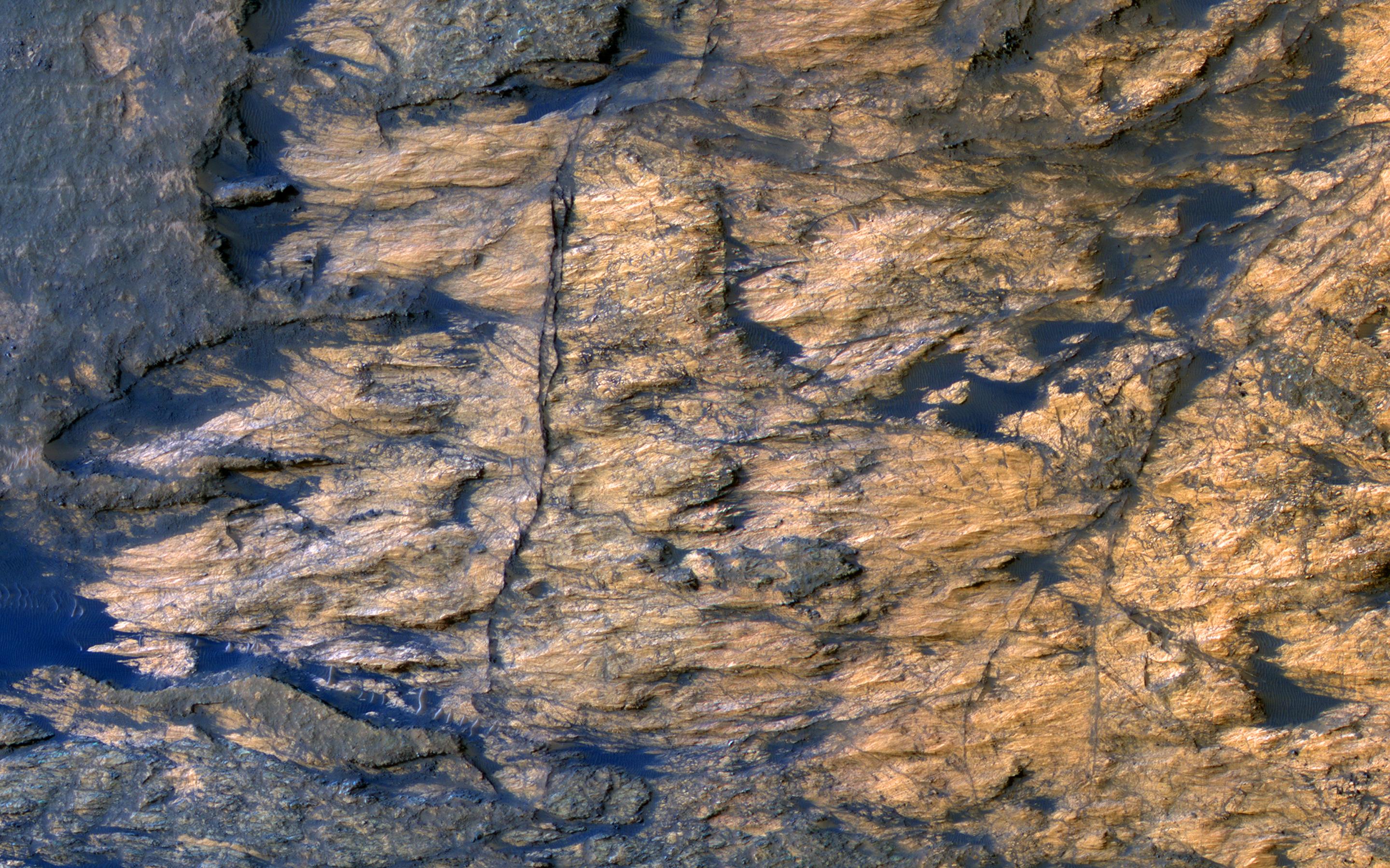
PIA21559:
-
Bedrock Outcrops in Kaiser Crater
Full Resolution:
TIFF
(15.56 MB)
JPEG
(1.028 MB)
|
|
|
2017-03-13 |
Mars
|
2001 Mars Odyssey
|
THEMIS
|
686x1537x3 |
|
-
PIA21506:
-
Margaritifer Terra - False Color
Full Resolution:
TIFF
(2.209 MB)
JPEG
(135.9 kB)
|
|
|
2017-03-10 |
Mars
|
2001 Mars Odyssey
|
THEMIS
|
320x3600x1 |

|
-
PIA21505:
-
More Dunes in IR
Full Resolution:
TIFF
(1.153 MB)
JPEG
(147.2 kB)
|
|
|
2017-03-09 |
Mars
|
Mars Reconnaissance Orbiter (MRO)
|
HiRISE
|
2880x1800x3 |
|
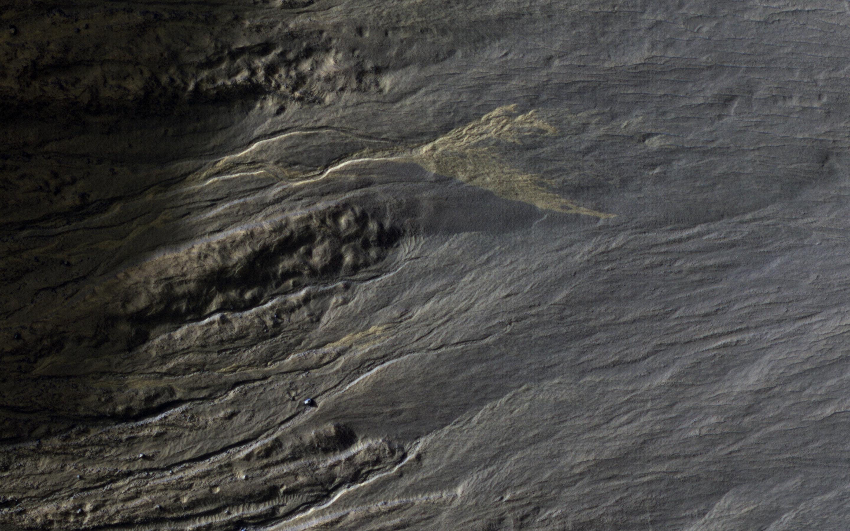
-
PIA21558:
-
Seasonal Flows on Warm Slopes
Full Resolution:
TIFF
(15.01 MB)
JPEG
(627.9 kB)
|
|
|
2017-03-09 |
Mars
|
Mars Exploration Rover (MER)
|
Panoramic Camera
|
967x428x3 |
|
-
PIA21485:
-
Active Lifting During Martian Dust Storm
Full Resolution:
TIFF
(1.152 MB)
JPEG
(47.8 kB)
|
|
|
2017-03-09 |
Mars
|
Mars Reconnaissance Orbiter (MRO)
|
MARCI
|
1400x787x3 |
|
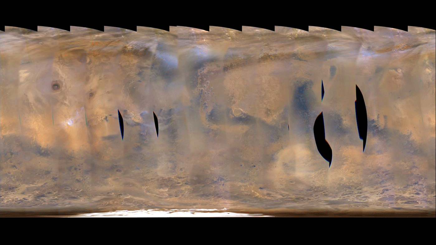
-
PIA21484:
-
Back-to-Back Martian Dust Storms

Full Resolution:
TIFF
(1.112 MB)
JPEG
(997.3 kB)
|
|
|
2017-03-09 |
Mars
|
2001 Mars Odyssey
|
THEMIS
|
320x3600x1 |

|
-
PIA21504:
-
Dunes in IR
Full Resolution:
TIFF
(1.153 MB)
JPEG
(207.3 kB)
|
|
|
2017-03-08 |
Mars
|
Mars Reconnaissance Orbiter (MRO)
|
HiRISE
|
2880x1800x3 |

|
-
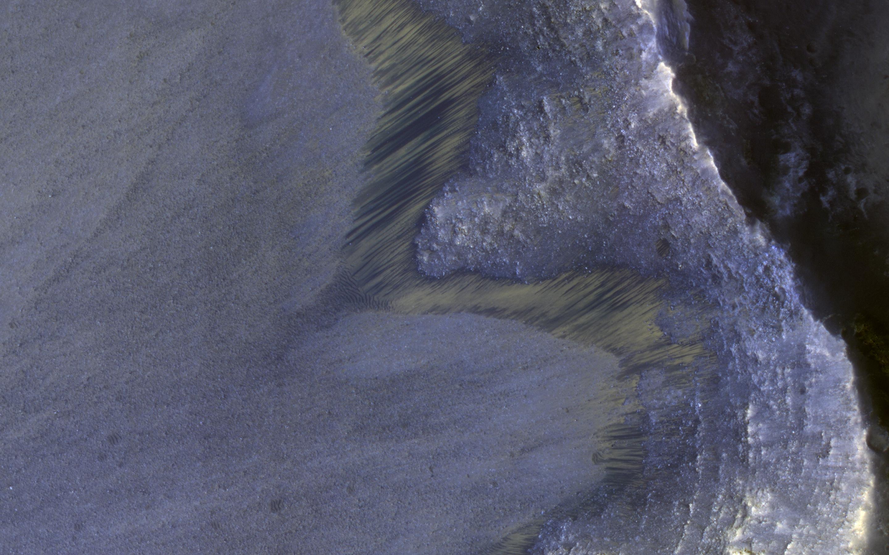
PIA21556:
-
Icy Flow in a Crater
Full Resolution:
TIFF
(15.13 MB)
JPEG
(567.3 kB)
|
|
|
2017-03-08 |
Mars
|
2001 Mars Odyssey
|
THEMIS
|
1328x2676x1 |
|
-
PIA21503:
-
Proctor Crater Dunes
Full Resolution:
TIFF
(2.503 MB)
JPEG
(262.7 kB)
|
|
|
2017-03-07 |
Mars
|
Mars Reconnaissance Orbiter (MRO)
|
HiRISE
|
2880x1800x3 |
|
-
PIA21555:
-
The Entrance to Mawrth Vallis
Full Resolution:
TIFF
(15.56 MB)
JPEG
(597.1 kB)
|
|
|
2017-03-07 |
Mars
|
2001 Mars Odyssey
|
THEMIS
|
1107x2793x1 |

|
-
PIA21502:
-
Crater Dunes
Full Resolution:
TIFF
(2.13 MB)
JPEG
(177.1 kB)
|
|
|
2017-03-06 |
Mars
|
Mars Reconnaissance Orbiter (MRO)
|
HiRISE
|
2880x1800x3 |
|
-
PIA21554:
-
A Mass of Viscous Flow Features
Full Resolution:
TIFF
(15.56 MB)
JPEG
(924.8 kB)
|
|
|
2017-03-06 |
Mars
|
2001 Mars Odyssey
|
THEMIS
|
1054x2727x1 |
|
-
PIA21501:
-
Dust Devil Tracks
Full Resolution:
TIFF
(2.652 MB)
JPEG
(365.4 kB)
|
|
|
2017-03-03 |
Mars
|
2001 Mars Odyssey
|
THEMIS
|
1005x2641x1 |
|
-
PIA21325:
-
South Polar Layers
Full Resolution:
TIFF
(2.442 MB)
JPEG
(315.4 kB)
|
 Planetary Data System


