Your search criteria found
12718
images
Target is Mars
Go to PIAxxxxx:
Refine this list of images by:
Target:
Mars
Sun
Titan
Vesta
Mission:
2001 Mars Odyssey
Antarctic Meteorite Location and Mapping Project (AMLAMP)
Cassini-Huygens
Dawn
ExoMars
Hubble Space Telescope
InSight
MAVEN
Mariner Mars 1964 (Mariner 4)
Mariner Mars 1969 (Mariner 7)
Mariner Mars 1971 (Mariner 9)
Mars 2020
Mars 2020 Rover
Mars Atmosphere and Volatile Evolution MissioN (MAVEN)
Mars Climate Orbiter
Mars Cube One (MarCO)
Mars Exploration Rover (MER)
Mars Express (MEX)
Mars Global Surveyor (MGS)
Mars Helicopter
Mars Pathfinder (MPF)
Mars Reconnaissance Orbiter (MRO)
Mars Sample Return
Mars Sample Return (MSR)
Mars Science Laboratory (MSL)
Phoenix
Rosetta
Viking
Spacecraft:
2001 Mars Odyssey
Curiosity
Dawn
InSight Mars Lander
Ingenuity
MAVEN
MarCO-B
Mariner 4
Mariner 7
Mariner 9
Mars Climate Orbiter
Mars Express (MEX)
Mars Express (MEX) Orbiter
Mars Global Surveyor Orbiter
Mars Pathfinder Lander
Mars Pathfinder Rover
Mars Reconnaissance Orbiter (MRO)
Mars Sample Return
Mars Science Laboratory (MSL)
NASA's Mars Pathfinder Lander
Opportunity
Perseverance
Philae Lander
Phoenix Lander
Phoenix Mars Lander
Spirit
Viking Lander 1
Viking Lander 2
Viking Orbiter 1
Viking Orbiter 2
Instrument:
Alpha Particle X-ray Spectrometer
Alpha Particle X-ray Spectrometer (MSL)
Atmospheric Structure / Meteorology Instrument
CHIMRA
Camera 1
Camera 2
Chemistry & Mineralogy (CheMin)
Chemistry and Camera (ChemCam)
Comet Infrared and Visible Analyser (CIVA
Compact Reconnaissance Imaging Spectrometer for Mars (CRISM)
Context Camera (CTX)
Deep Space Network
Descent Image Motion Estimation System (DIMES)
Dynamic Albedo of Neutrons
Dynamic Albedo of Neutrons (DAN)
Gamma Ray Spectrometer - Neutron Spectrometer
Gamma Ray Spectrometer Suite
Hazard Avoidance Camera
Hazard Avoidance Camera (M2020)
Hazard Avoidance Camera (MSL)
Heat and Physical Properties Package (HP3)
High Resolution Imaging Science Experiment (HiRISE)
High Resolution Instrument (HRI)
High Resolution Stereo Camera
Imager for Mars Pathfinder
Imaging Science Subsystem
Imaging Ultraviolet Spectrograph
Imaging Ultraviolet Spectrograph (IUVS)
Instrument Context Camera (ICC)
Instrument Deployment Camera (IDC)
Lander Vision System Camera (LCAM)
Magnetometer
Mars Advanced Radar for Subsurface and Ionosphere Sounding (MARSIS)
Mars Advanced Radar for Subsurface and Ionospheric Sounding (MARSIS)
Mars Climate Sounder (MCS)
Mars Color Imager (MARCI)
Mars Descent Imager
Mars Environmental Dynamics Analyzer (MEDA)
Mars Hand Lens Imager (MAHLI)
Mars Horizon Sensor Assembly
Mars Orbiter Camera (MOC)
Mars Orbiter Laser Altimeter
Mars Radiation Experiment
Mastcam
Mastcam-Z
Microscopic Imager
Microscopy Electrochemistry and Conductivity Analyzer (MECA)
Miniature Thermal Emission Spectrometer
Moessbauer Spectrometer
Navigation Camera
Navigation Camera (M2020)
Navigation Camera (MSL)
Neutral Gas and Ion Mass Spectrometer
Neutron Spectrometer
Optical Microscope
Panoramic Camera
Planetary Instrument for X-ray Lithochemistry (PIXL)
Radar System
Radiation Assessment Detector (RAD)
Radio Science Subsystem
Robotic Arm
Robotic Arm (MSL)
Robotic Arm Camera (RAC)
Rock Abrasion Tool (RAT)
Rover Cameras
Rover Environmental Monitoring Station (REMS)
Sample Analysis at Mars (SAM)
Scanning Habitable Environments with Raman & Luminescence for Organics and Chemicals (SHERLOC)
Seismic Experiment for Interior Structure (SEIS)
Shallow Subsurface Radar (SHARAD)
Stereo Imager (SSI)
SuperCam
Surface Stereo Imager (SSI)
Thermal Emission Imaging System
Thermal Emission Spectrometer
Thermal and Electrical Conductivity Probe
Thermal and Evolved Gas Analyzer
Trace Gas Orbiter
Visual Imaging Subsystem
Visual Imaging Subsystem - Camera A
Visual Imaging Subsystem - Camera B
Wide Field Planetary Camera 2
Click on an image for detailed information
Click on a column heading to sort in ascending or descending order
My
List
Addition Date
Target
Mission
Instrument
Size
2004-07-22
Mars
Mars Global Surveyor (MGS)
Mars Orbiter Camera (MOC)
836x1254x1
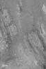
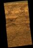
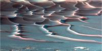
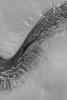
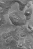
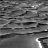
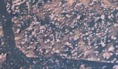
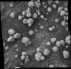
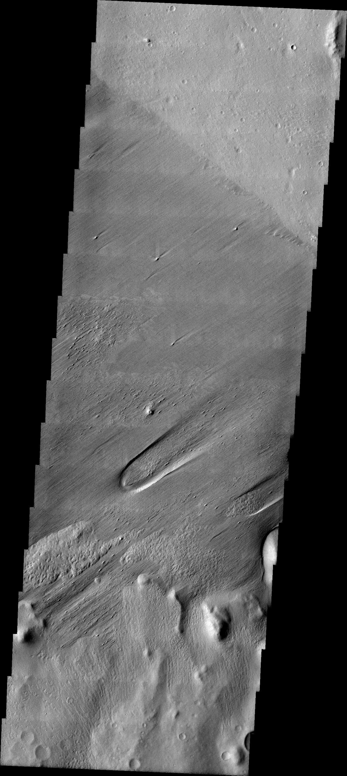
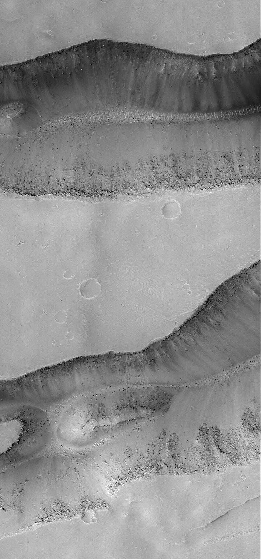
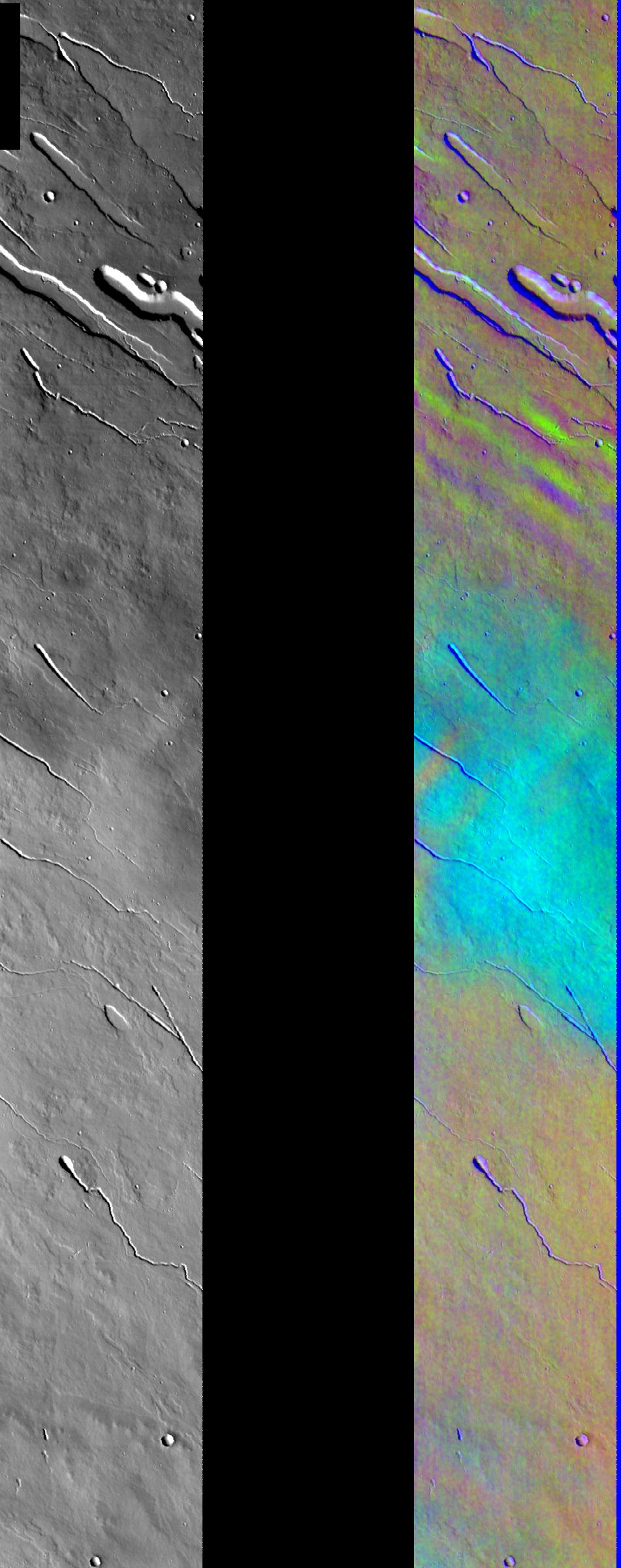
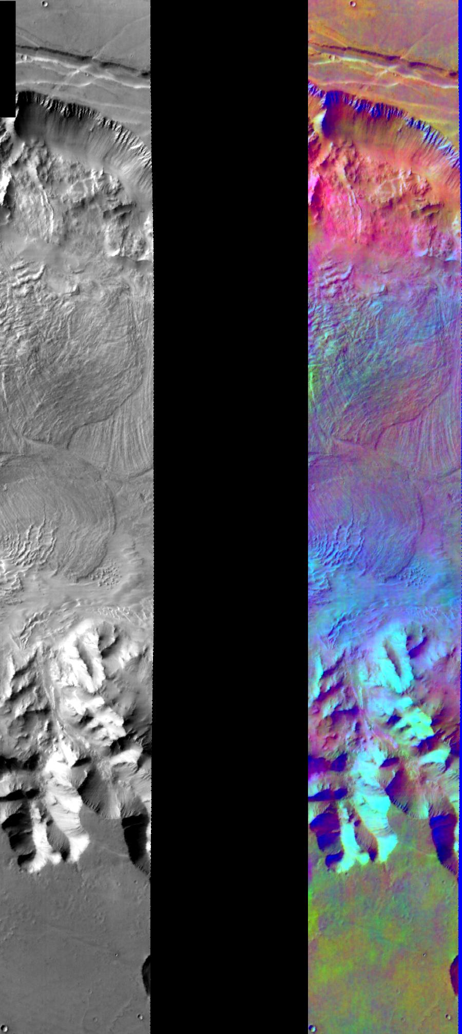
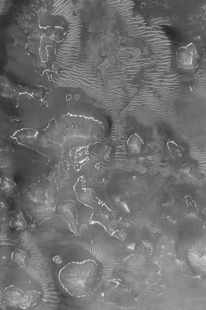
PIA06707:
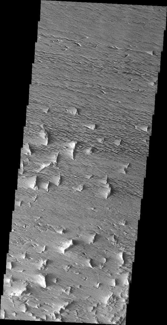
Gordii Fossae Troughs
Full Resolution:
TIFF
(982.6 kB)
JPEG
(156 kB)
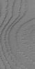
2004-07-22
Mars
2001 Mars Odyssey
THEMIS
1369x3059x1
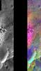
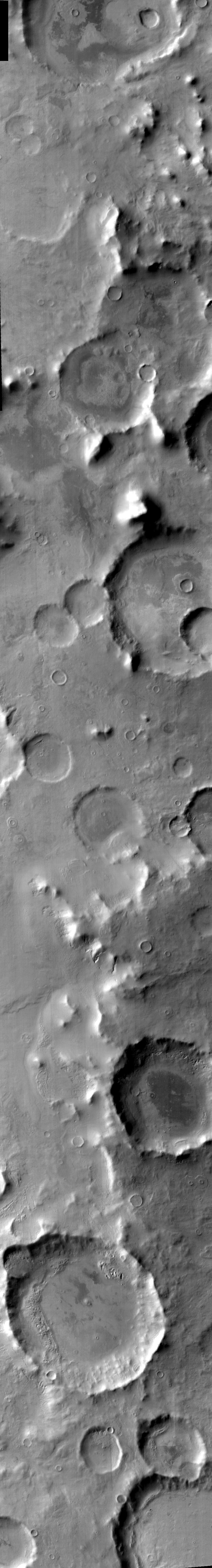
PIA06708:
A Question of Interpretation
Full Resolution:
TIFF
(3.358 MB)
JPEG
(689.9 kB)
2004-07-22
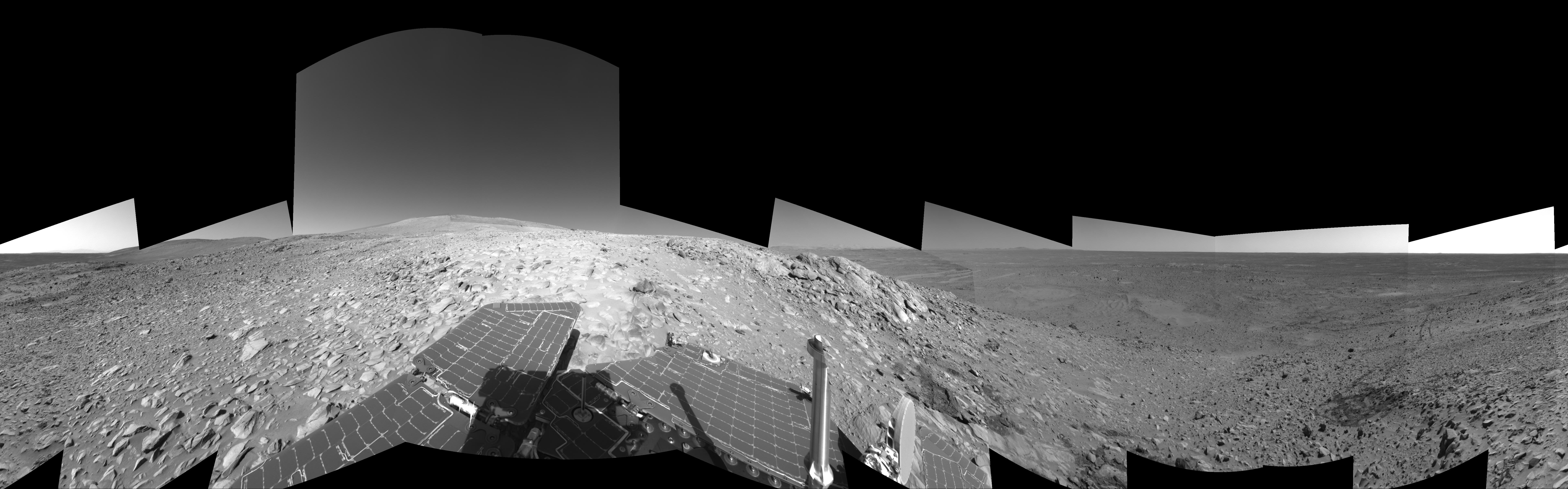
Mars
Mars Exploration Rover (MER)
Navigation Camera
7466x1034x1
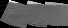
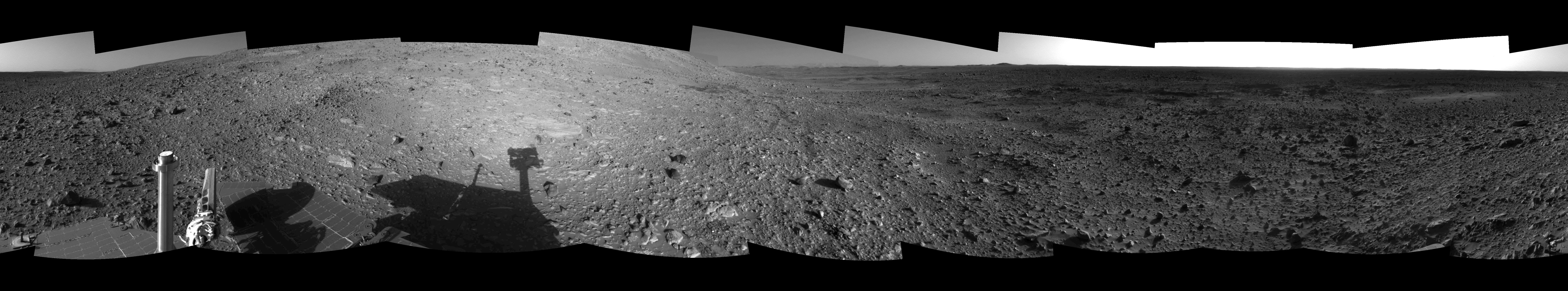
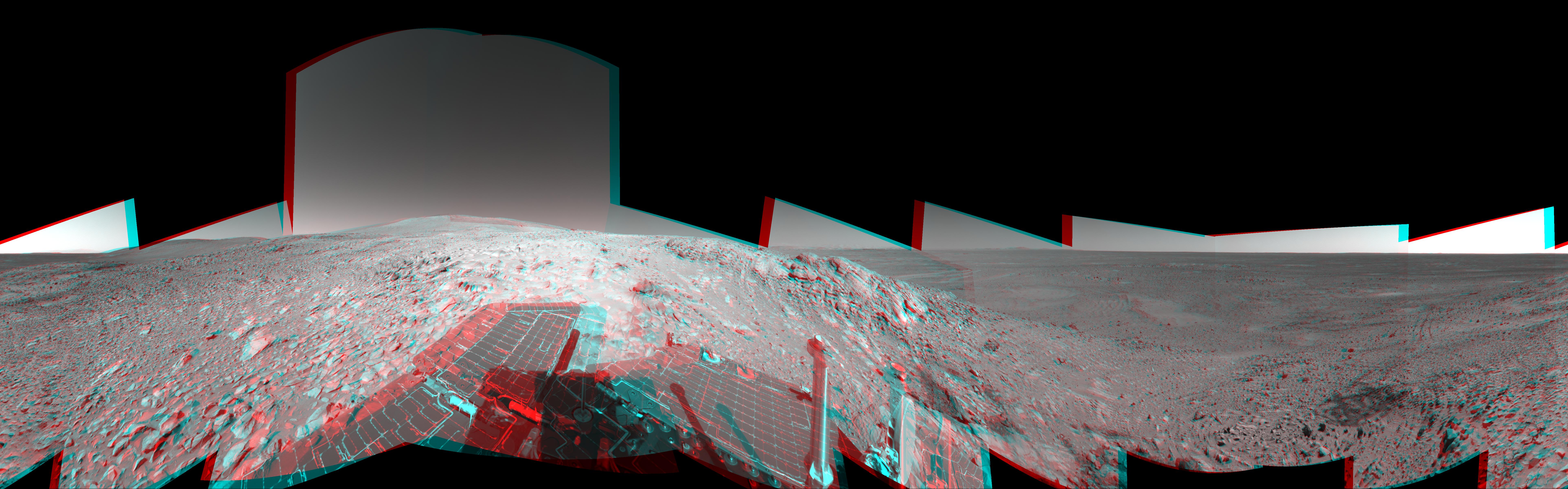
PIA06710:
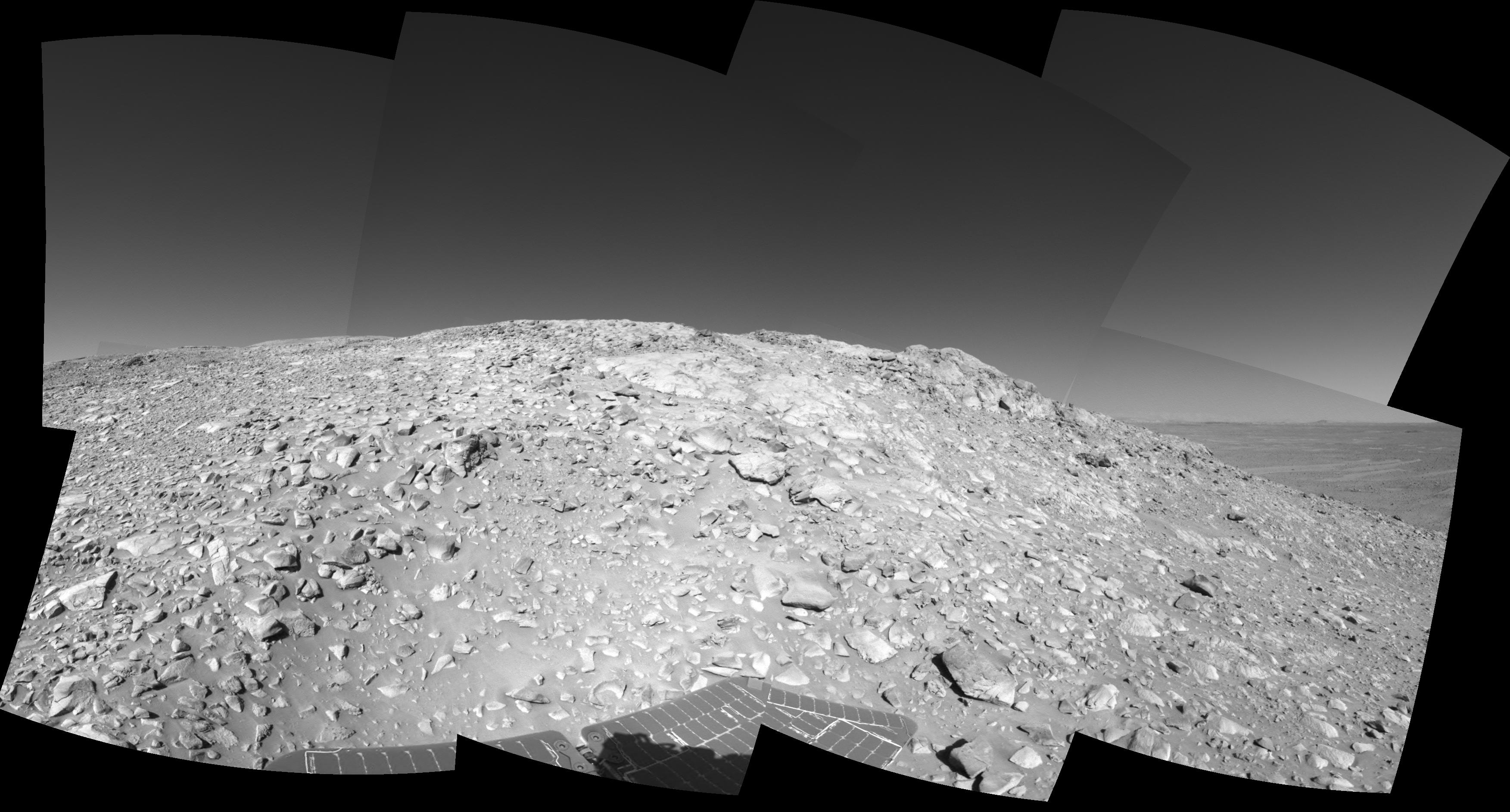
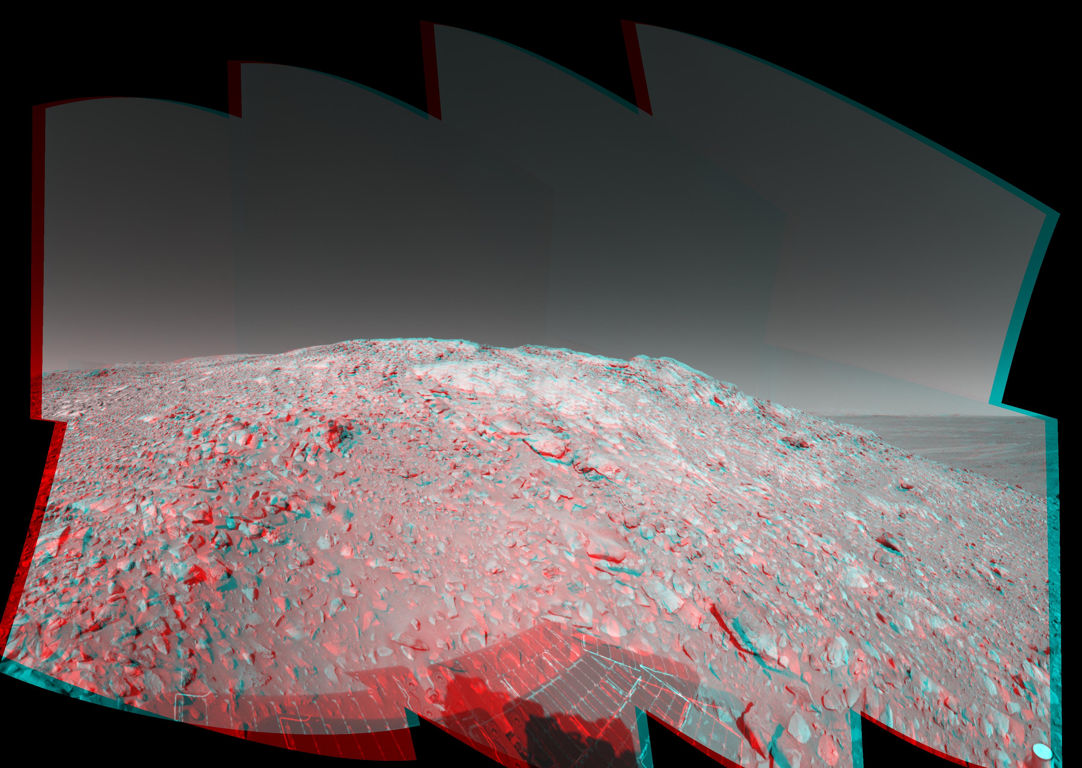
Hilly Surroundings (cylindrical)
Full Resolution:
TIFF
(2.949 MB)
JPEG
(1.153 MB)
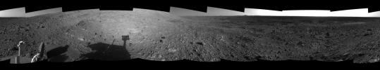
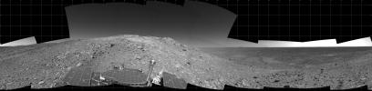
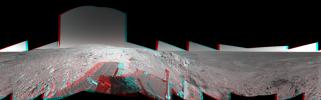
2004-07-22
Mars
Mars Exploration Rover (MER)
Navigation Camera
7704x1429x3
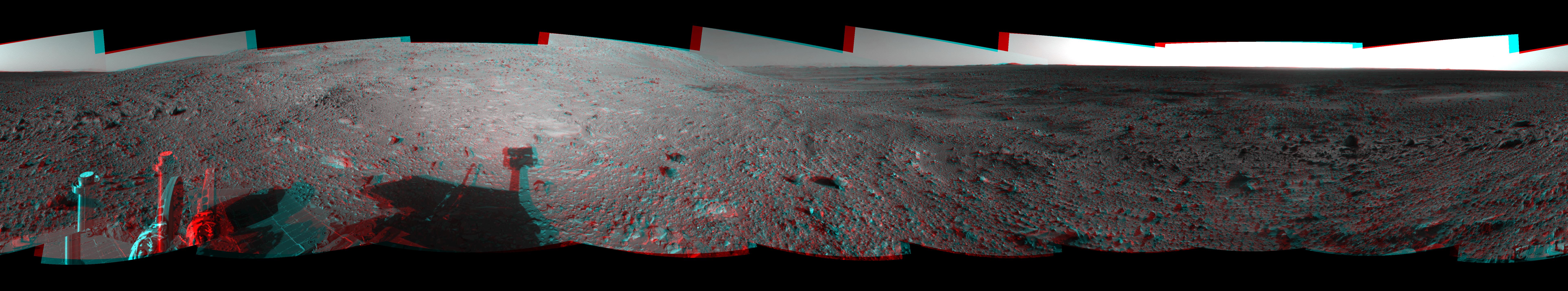
PIA06711:
Hilly Surroundings (3-D)
Full Resolution:
TIFF
(10.59 MB)
JPEG
(1.374 MB)
2004-07-22
Mars
Mars Exploration Rover (MER)
Navigation Camera
7704x1429x1
PIA06712:
Hilly Surroundings (Left Eye)
Full Resolution:
TIFF
(3.351 MB)
JPEG
(1.285 MB)
2004-07-22
Mars
Mars Exploration Rover (MER)
Navigation Camera
7704x1429x1
PIA06713:
Hilly Surroundings (Right Eye)
Full Resolution:
TIFF
(3.261 MB)
JPEG
(1.247 MB)
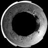
2004-07-22
Mars
Mars Exploration Rover (MER)
Navigation Camera
4099x4099x1
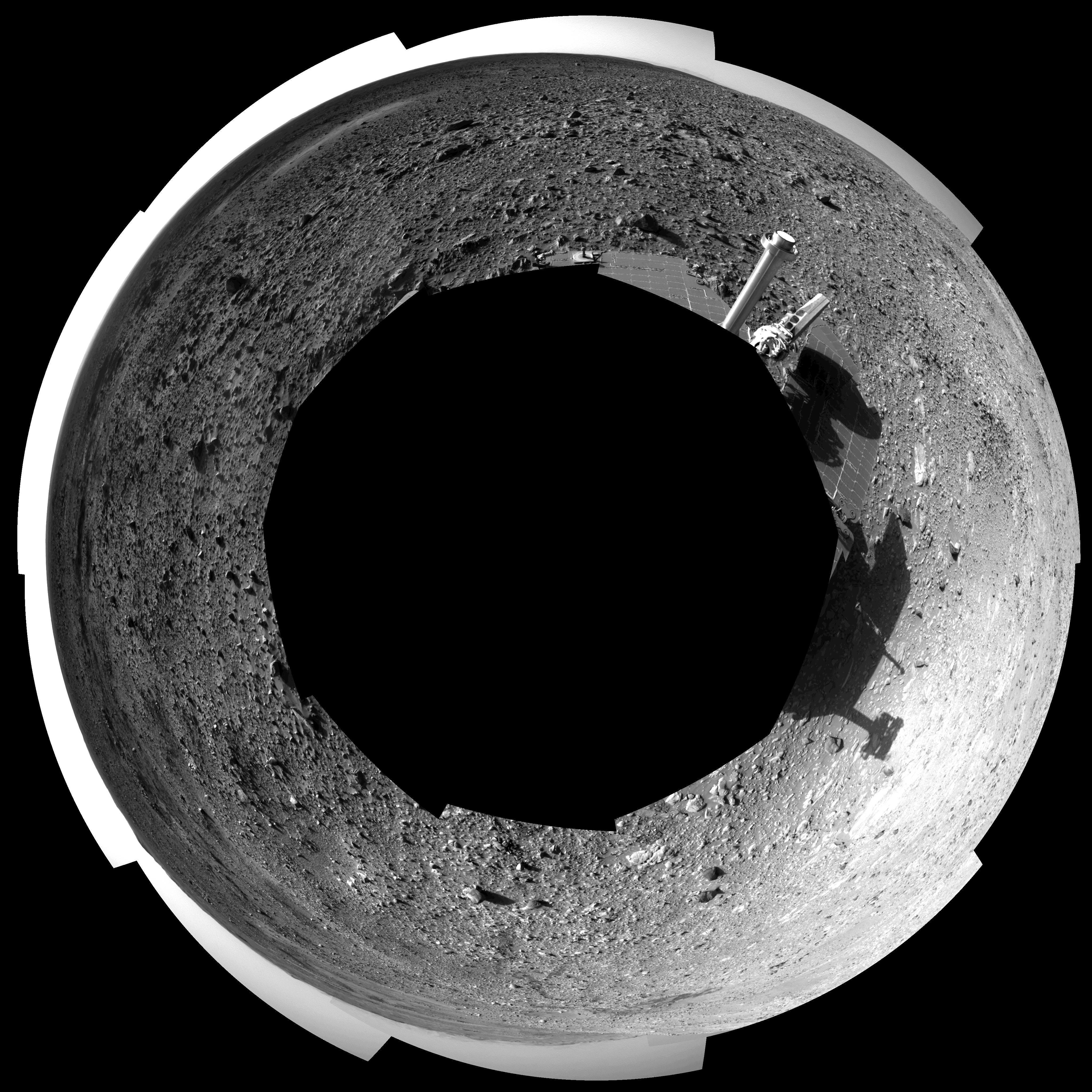
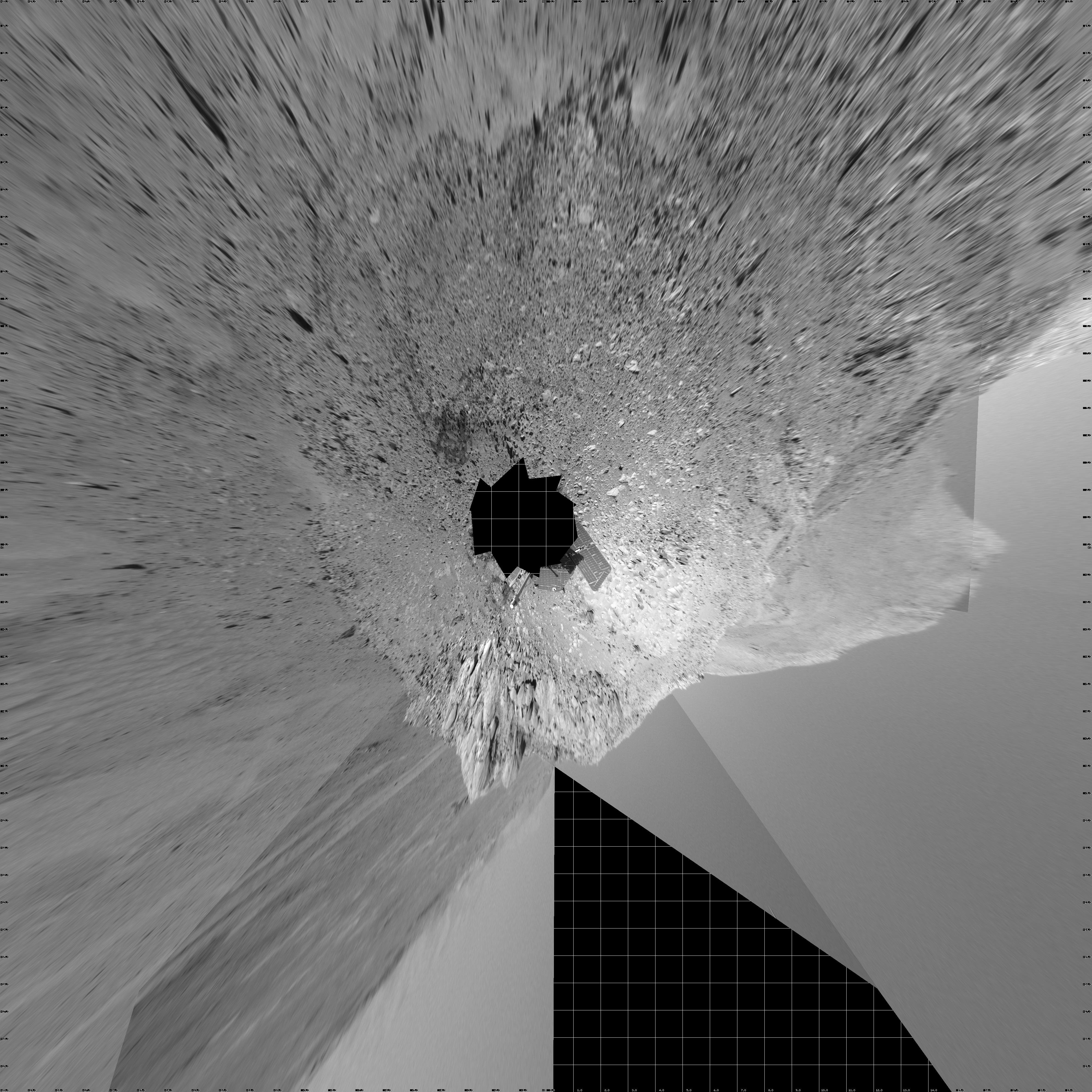
PIA06714:
Hilly Surroundings (polar)
Full Resolution:
TIFF
(4.564 MB)
JPEG
(1.786 MB)
2004-07-22
Mars
Mars Exploration Rover (MER)
Navigation Camera
4000x4000x1
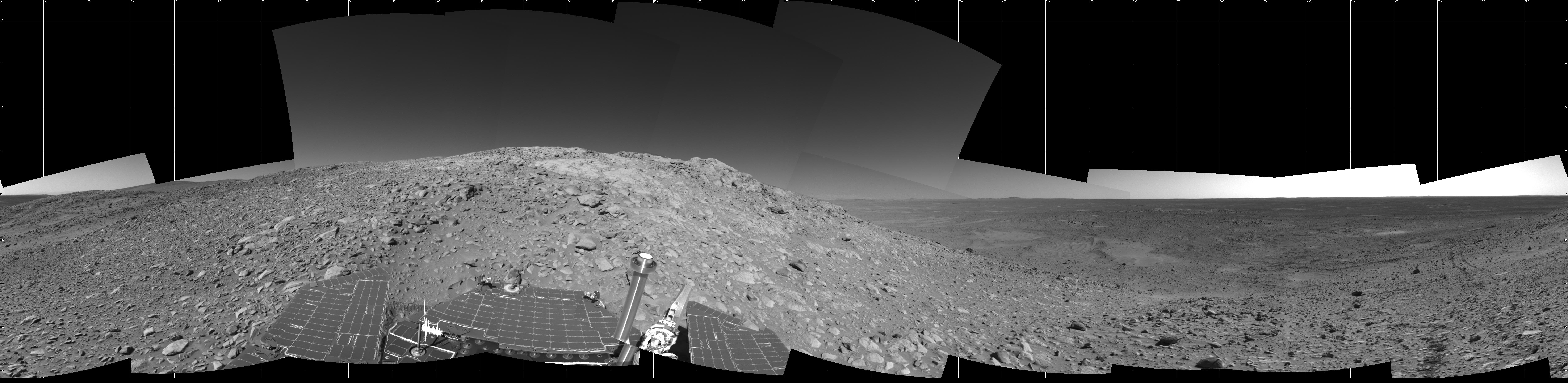
PIA06715:
Hilly Surroundings (vertical)
Full Resolution:
TIFF
(8.645 MB)
JPEG
(2.129 MB)
2004-07-22
Mars
Mars Exploration Rover (MER)
Navigation Camera
1024x1024x1
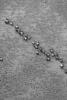
PIA06716:
Can You Find the Rat Holes?
Full Resolution:
TIFF
(1.05 MB)
JPEG
(236.3 kB)
2004-07-23
Mars
Mars Global Surveyor (MGS)
Mars Orbiter Camera (MOC)
916x4276x1
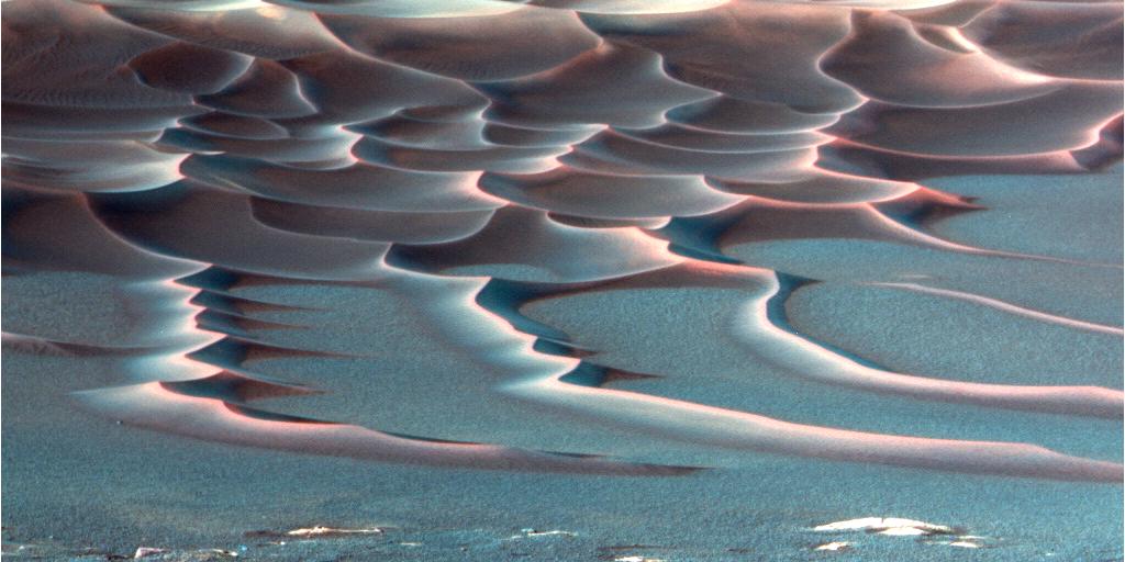
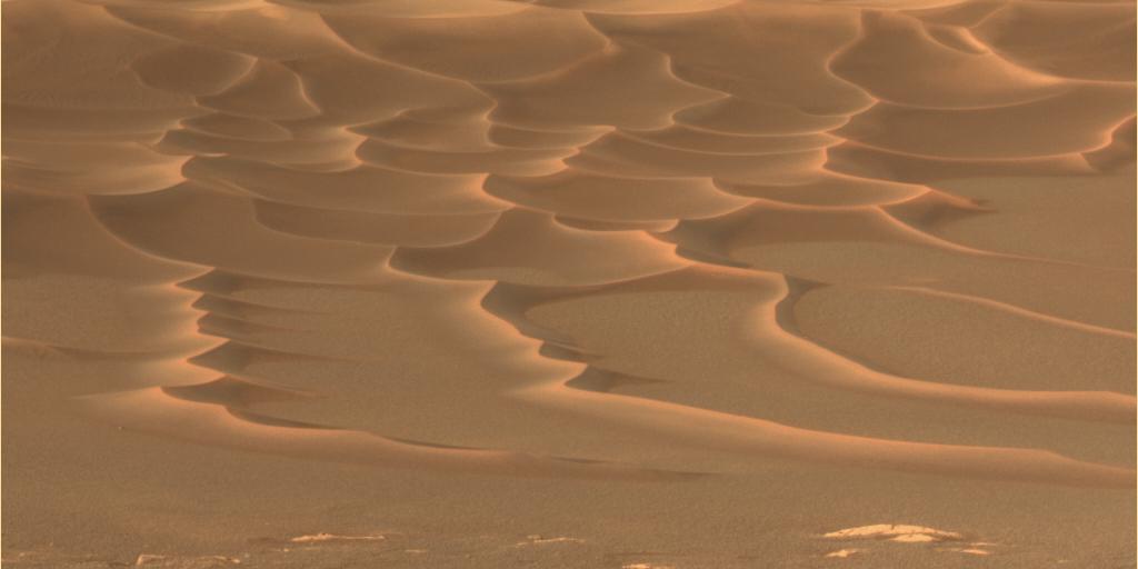
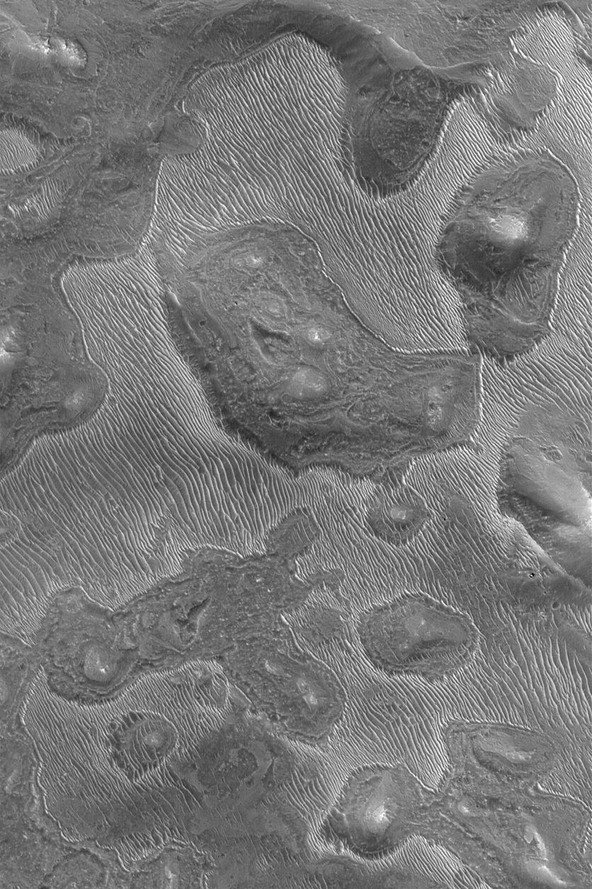
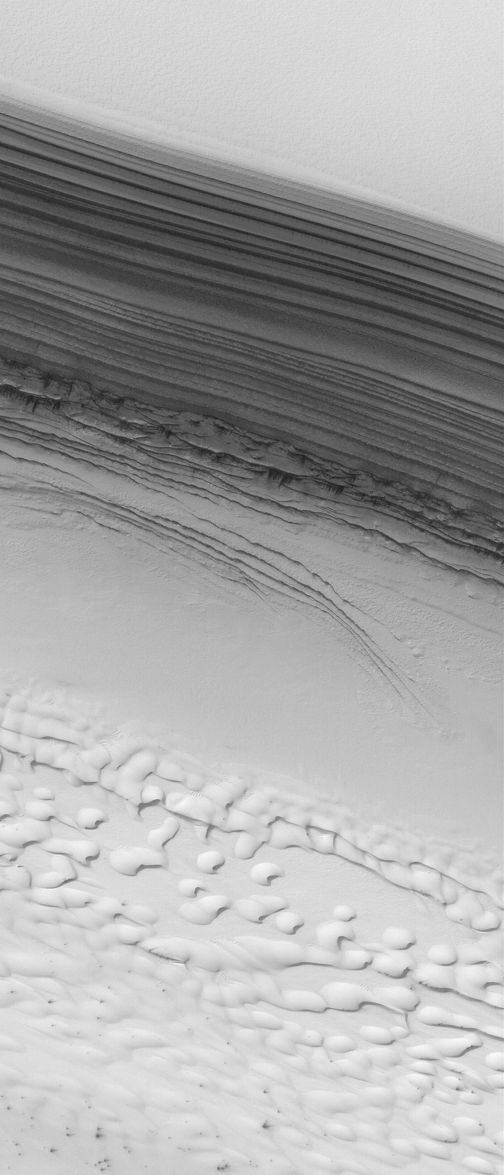
PIA06717:
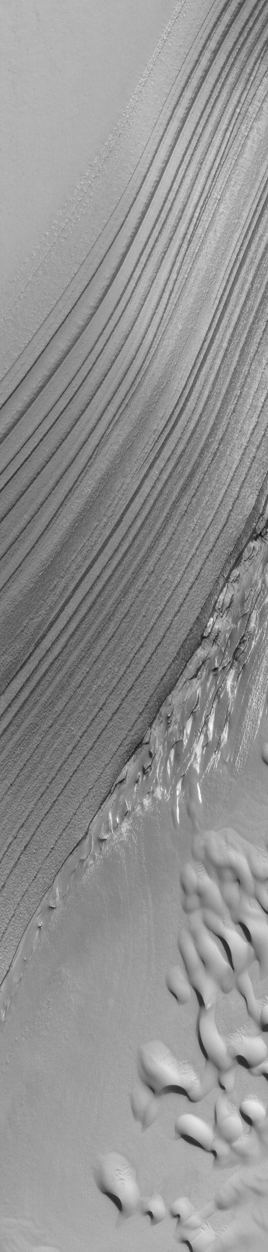
Polar Layers and Dunes
Full Resolution:
TIFF
(3.921 MB)
JPEG
(685.2 kB)
2004-07-23
Mars
2001 Mars Odyssey
THEMIS
658x1279x1
PIA06718:
Complete Makeover
Full Resolution:
TIFF
(736.4 kB)
JPEG
(157.9 kB)
2004-07-23
Mars
Mars Exploration Rover (MER)
Navigation Camera
536x527x3
PIA06719:
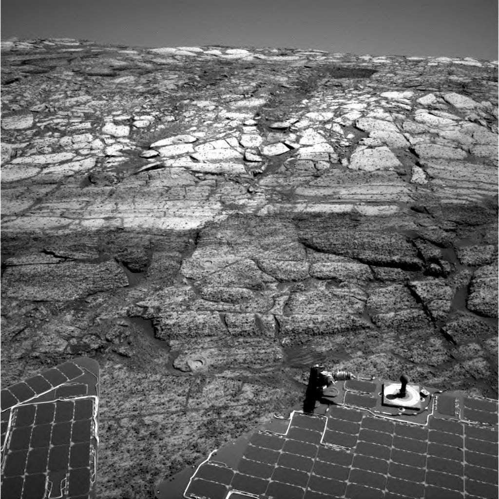
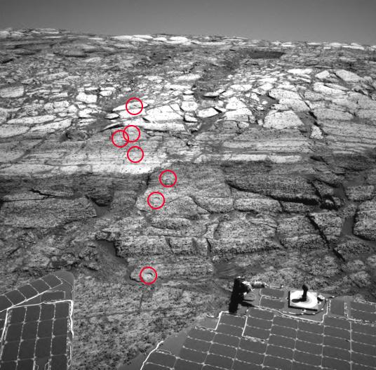
Opportunity Leaves a Trail of 'Rat' Holes
Full Resolution:
TIFF
(487 kB)
JPEG
(71.16 kB)
2004-07-24
Mars
Mars Global Surveyor (MGS)
Mars Orbiter Camera (MOC)
836x1254x1
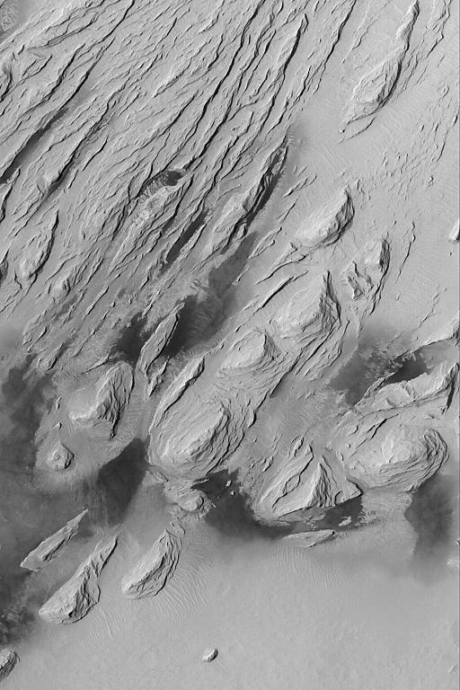
PIA06721:
Layers in Oudemans
Full Resolution:
TIFF
(1.05 MB)
JPEG
(188.7 kB)
2004-07-25
Mars
Mars Global Surveyor (MGS)
Mars Orbiter Camera (MOC)
672x1322x1
PIA06722:
South Polar Terrain
Full Resolution:
TIFF
(617.3 kB)
JPEG
(143.9 kB)
2004-07-26
Mars
Mars Global Surveyor (MGS)
Mars Orbiter Camera (MOC)
836x2004x1
PIA06723:
Galle Scene
Full Resolution:
TIFF
(1.411 MB)
JPEG
(206.3 kB)
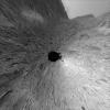
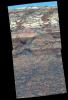
2004-07-27
Mars
Mars Exploration Rover (MER)
Hazcam
1024x1024x1
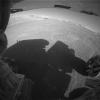
PIA06720:
Higher Up in the Hills
Full Resolution:
TIFF
(992.4 kB)
JPEG
(140.8 kB)
2004-07-27
Mars
Mars Global Surveyor (MGS)
Mars Orbiter Camera (MOC)
601x902x1
PIA06724:
Spotty Dunes
Full Resolution:
TIFF
(542.9 kB)
JPEG
(88.66 kB)
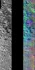
2004-07-27
Mars
2001 Mars Odyssey
THEMIS
927x1819x3
PIA06725:
Decorrelation Stretch Near Cerberus Fossae
Full Resolution:
TIFF
(3.327 MB)
JPEG
(260.1 kB)
2004-07-27
Mars
2001 Mars Odyssey
THEMIS
909x3874x3
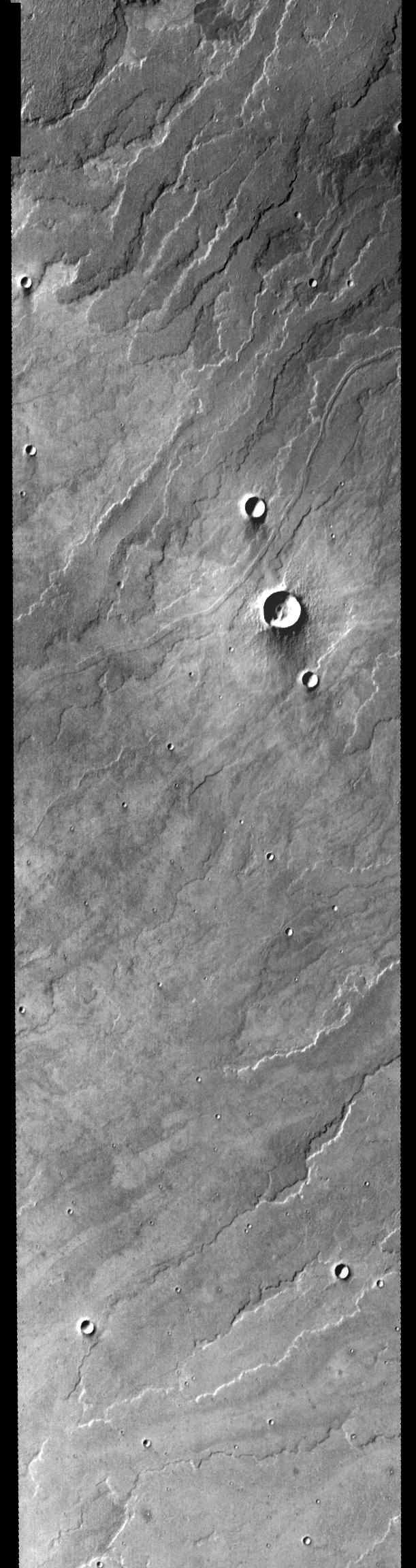
PIA06726:
Canyon in DCS Color
Full Resolution:
TIFF
(6.696 MB)
JPEG
(425 kB)
2004-07-27
Mars
Mars Exploration Rover (MER)
Panoramic Camera
1429x2113x3
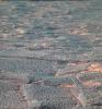
PIA06727:
False-Color View of a 'Rat' Hole Trail
Full Resolution:
TIFF
(7.337 MB)
JPEG
(481.2 kB)
2004-07-27
Mars
Mars Exploration Rover (MER)
Panoramic Camera
1429x2113x3
PIA06728:
Color View of a 'Rat' Hole Trail Inside 'Endurance'
Full Resolution:
TIFF
(5.412 MB)
JPEG
(376.3 kB)
2004-07-28
Mars
Mars Global Surveyor (MGS)
Mars Orbiter Camera (MOC)
836x1254x1
PIA06729:
Outcrop in Iani
Full Resolution:
TIFF
(1.05 MB)
JPEG
(193.1 kB)
2004-07-28
Mars
2001 Mars Odyssey
THEMIS
891x2668x3
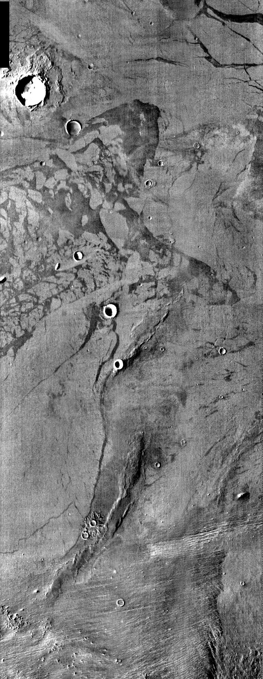
PIA06730:
DCS Color near Mare Cimmerium
Full Resolution:
TIFF
(4.619 MB)
JPEG
(322.3 kB)
2004-07-29
Mars
Mars Global Surveyor (MGS)
Mars Orbiter Camera (MOC)
672x1008x1
PIA06731:
Rippled Mars
Full Resolution:
TIFF
(678.3 kB)
JPEG
(175.4 kB)
2004-07-29
Mars
2001 Mars Odyssey
THEMIS
900x1530x3
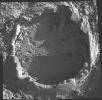
PIA06732:
Kaiser Crater DCS
Full Resolution:
TIFF
(2.631 MB)
JPEG
(156.4 kB)
2004-07-30
Mars
Mars Global Surveyor (MGS)
Mars Orbiter Camera (MOC)
2048x2944x1
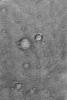
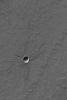
PIA06733:
Fresh Crater
Full Resolution:
TIFF
(4.734 MB)
JPEG
(1.295 MB)
2004-07-30
Mars
2001 Mars Odyssey
THEMIS
896x5152x3
PIA06734:
DCS in Hesperia Planum
Full Resolution:
TIFF
(8.869 MB)
JPEG
(582.6 kB)
2004-08-02
Mars
Mars Exploration Rover (MER)
Navigation Camera
3505x1885x1
PIA06735:
High on 'West Spur'
Full Resolution:
TIFF
(4.608 MB)
JPEG
(610.4 kB)
2004-08-02
Mars
Mars Exploration Rover (MER)
Navigation Camera
3617x2568x3
PIA06736:
High on 'West Spur' (3-D)
Full Resolution:
TIFF
(16.44 MB)
JPEG
(848.6 kB)
2004-08-02
Mars
Mars Exploration Rover (MER)
Navigation Camera
3617x2568x1
PIA06737:
High on 'West Spur' (Left Eye)
Full Resolution:
TIFF
(6.135 MB)
JPEG
(782.4 kB)
2004-08-02
Mars
Mars Exploration Rover (MER)
Navigation Camera
3617x2568x1
PIA06738:
High on 'West Spur' (Right Eye)
Full Resolution:
TIFF
(5.873 MB)
JPEG
(716.1 kB)
2004-08-02
Mars
Mars Exploration Rover (MER)
Hazcam
1024x1024x1
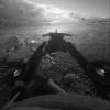
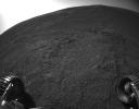
PIA06739:
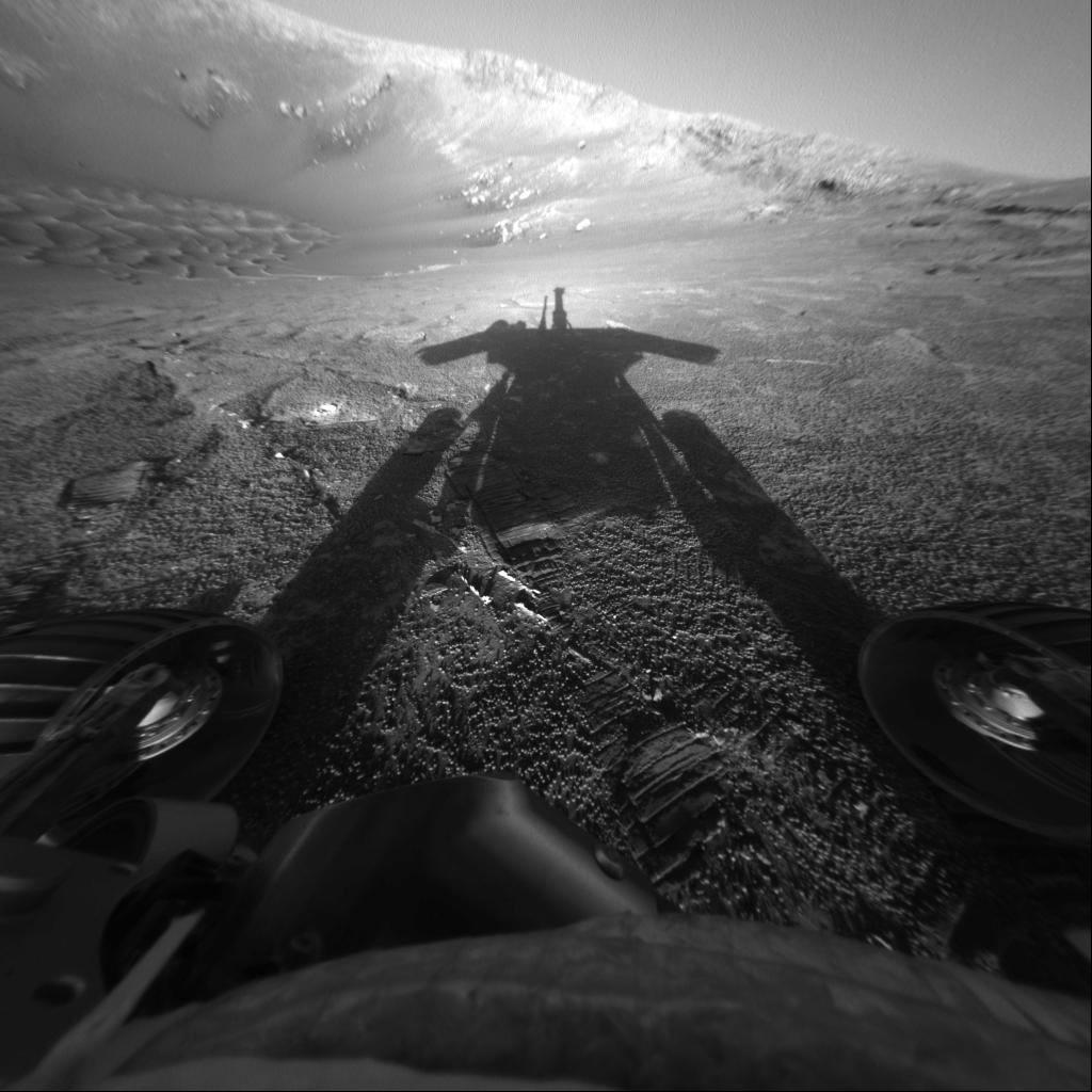
Opportunity Catches its Shadow on Sol 180
Full Resolution:
TIFF
(742.9 kB)
JPEG
(115.2 kB)
2004-08-02
Mars
Mars Exploration Rover (MER)
Panoramic Camera
1024x1024x3
PIA06740:
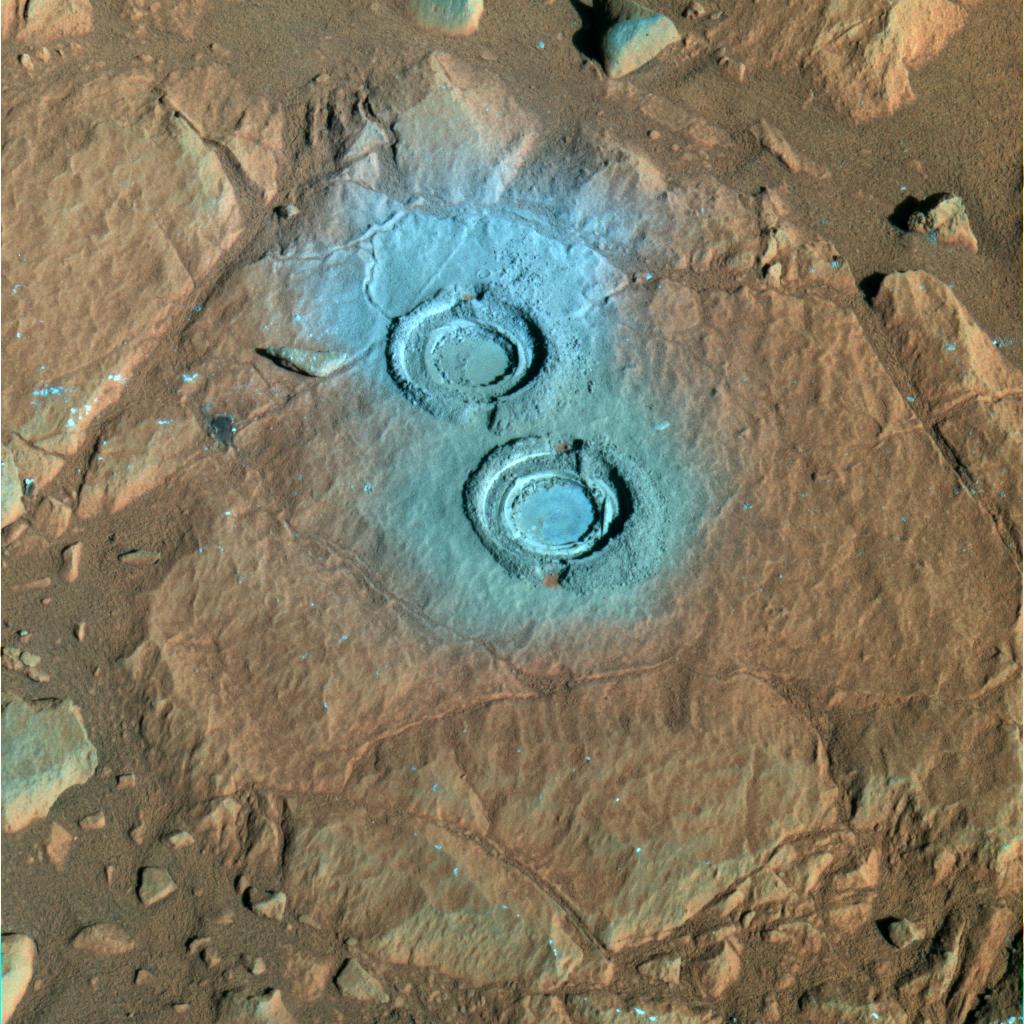
Two Holes in 'Wooly Patch' (False Color)
Full Resolution:
TIFF
(3.15 MB)
JPEG
(188.8 kB)
2004-08-02
Mars
Mars Exploration Rover (MER)
Panoramic Camera
1024x1024x3
PIA06741:
Two Holes in 'Wooly Patch'
Full Resolution:
TIFF
(3.112 MB)
JPEG
(165.5 kB)
2004-08-02
Mars
2001 Mars Odyssey
THEMIS
921x8368x3
PIA06742:
DCS of Syrtis Major Sand Migration
Full Resolution:
TIFF
(14.29 MB)
JPEG
(949.5 kB)
2004-08-02
Mars
Mars Global Surveyor (MGS)
Mars Orbiter Camera (MOC)
1024x1536x1
PIA06743:
Meridiani Outcrops
Full Resolution:
TIFF
(1.575 MB)
JPEG
(324.5 kB)
2004-08-02
Mars
Mars Global Surveyor (MGS)
Mars Orbiter Camera (MOC)
836x1254x1
PIA06744:
Scene from Ius
Full Resolution:
TIFF
(835 kB)
JPEG
(84.32 kB)
2004-08-02
Mars
Mars Global Surveyor (MGS)
Mars Orbiter Camera (MOC)
672x1008x1
PIA06745:
Mesa in Aureum Chaos
Full Resolution:
TIFF
(678.3 kB)
JPEG
(102.7 kB)
2004-08-03
Mars
Mars Global Surveyor (MGS)
Mars Orbiter Camera (MOC)
672x1008x1
PIA06746:
Mesas on Depression Floor
Full Resolution:
TIFF
(678.3 kB)
JPEG
(89.44 kB)
2004-08-03
Mars
2001 Mars Odyssey
THEMIS
897x7046x3
PIA06747:
Atmospheric Effects in IR Color
Full Resolution:
TIFF
(11.13 MB)
JPEG
(526.1 kB)
2004-08-03
Mars
Mars Exploration Rover (MER)
Microscopic Imager
1761x1761x1
PIA06748:
'Diamond Jenness': Before the Grind
Full Resolution:
TIFF
(3.105 MB)
JPEG
(616.4 kB)
2004-08-03
Mars
Mars Exploration Rover (MER)
Microscopic Imager
2334x2148x1
PIA06749:
'Diamond Jenness': After the Grind
Full Resolution:
TIFF
(4.978 MB)
JPEG
(792.7 kB)
2004-08-03
Mars
Mars Exploration Rover (MER)
Microscopic Imager
2236x2213x1
PIA06750:
'Diamond Jenness': A Tough Grind
Full Resolution:
TIFF
(4.035 MB)
JPEG
(782.1 kB)
2004-08-04
Mars
Mars Global Surveyor (MGS)
Mars Orbiter Camera (MOC)
672x1008x1
PIA06793:
Layered Rocks of Melas
Full Resolution:
TIFF
(678.3 kB)
JPEG
(114.3 kB)
2004-08-04
Mars
2001 Mars Odyssey
THEMIS
909x2278x3
PIA06814:
Gale Crater in IR Color
Full Resolution:
TIFF
(4.01 MB)
JPEG
(269.3 kB)
2004-08-05
Mars
Mars Global Surveyor (MGS)
Mars Orbiter Camera (MOC)
836x1254x1
PIA06794:
Dune Avalanche Scars
Full Resolution:
TIFF
(1.05 MB)
JPEG
(108.7 kB)
2004-08-05
Mars
2001 Mars Odyssey
THEMIS
879x2395x3
PIA06817:
Lava Flows in IR Color
Full Resolution:
TIFF
(4.03 MB)
JPEG
(294.1 kB)
2004-08-05
Mars
Mars Exploration Rover (MER)
Microscopic Imager
1987x1958x1
PIA06752:
A Hole in 'Kettlestone'
Full Resolution:
TIFF
(3.346 MB)
JPEG
(492.3 kB)
2004-08-06
Mars
Mars Global Surveyor (MGS)
Mars Orbiter Camera (MOC)
512x1562x1
PIA06795:
Springtime for Dunes
Full Resolution:
TIFF
(800.8 kB)
JPEG
(159.6 kB)
2004-08-06
Mars
2001 Mars Odyssey
THEMIS
930x1156x3
PIA06818:
Basaltic Crater in Color IR
Full Resolution:
TIFF
(2.117 MB)
JPEG
(157.4 kB)
2004-08-06
Mars
Mars Exploration Rover (MER)
Panoramic Camera
1024x512x3
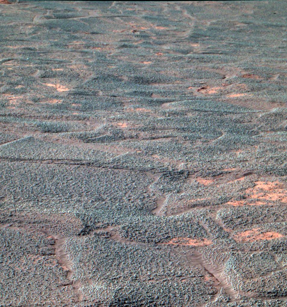
PIA06753:
'Endurance Crater's' Dazzling Dunes (false-color)
Full Resolution:
TIFF
(1.575 MB)
JPEG
(76.56 kB)
2004-08-06
Mars
Mars Exploration Rover (MER)
Panoramic Camera
1024x512x3
PIA06754:
'Endurance Crater's' Dazzling Dunes
Full Resolution:
TIFF
(1.281 MB)
JPEG
(36.47 kB)
2004-08-07
Mars
Mars Global Surveyor (MGS)
Mars Orbiter Camera (MOC)
836x1786x1
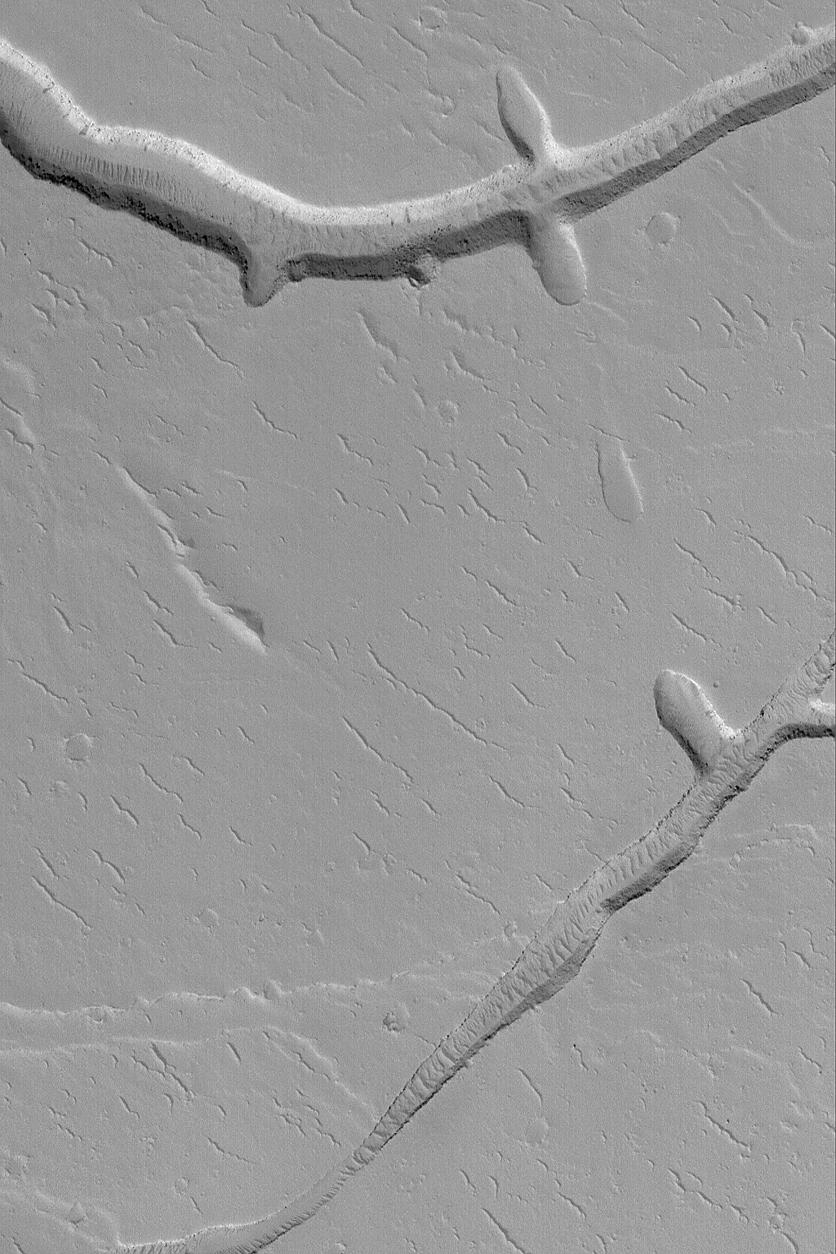
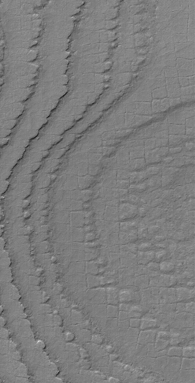
PIA06796:
Sirenum Fossae Troughs
Full Resolution:
TIFF
(1.455 MB)
JPEG
(198.8 kB)
2004-08-08
Mars
Mars Global Surveyor (MGS)
Mars Orbiter Camera (MOC)
672x1008x1
PIA06797:
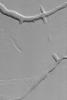
Martian Scribbles
Full Resolution:
TIFF
(532.6 kB)
JPEG
(122.8 kB)
2004-08-09
Mars
Mars Global Surveyor (MGS)
Mars Orbiter Camera (MOC)
512x768x1
PIA06798:
Wind Erosion in Aeolis
Full Resolution:
TIFF
(393.8 kB)
JPEG
(89.39 kB)
2004-08-09
Mars
2001 Mars Odyssey
THEMIS
951x2401x3
PIA06819:
Ice Clouds in Color IR
Full Resolution:
TIFF
(4.023 MB)
JPEG
(248.1 kB)
2004-08-10
Mars
Mars Global Surveyor (MGS)
Mars Orbiter Camera (MOC)
669x1004x1
PIA06802:
Mid-latitude Gully Features
Full Resolution:
TIFF
(672.6 kB)
JPEG
(108.6 kB)
2004-08-11
Mars
Mars Exploration Rover (MER)
Hazcam
1018x796x1
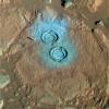
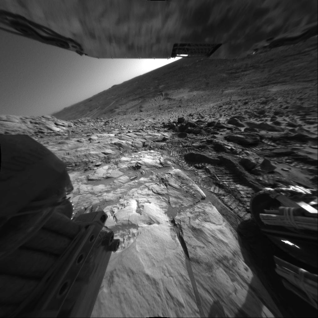
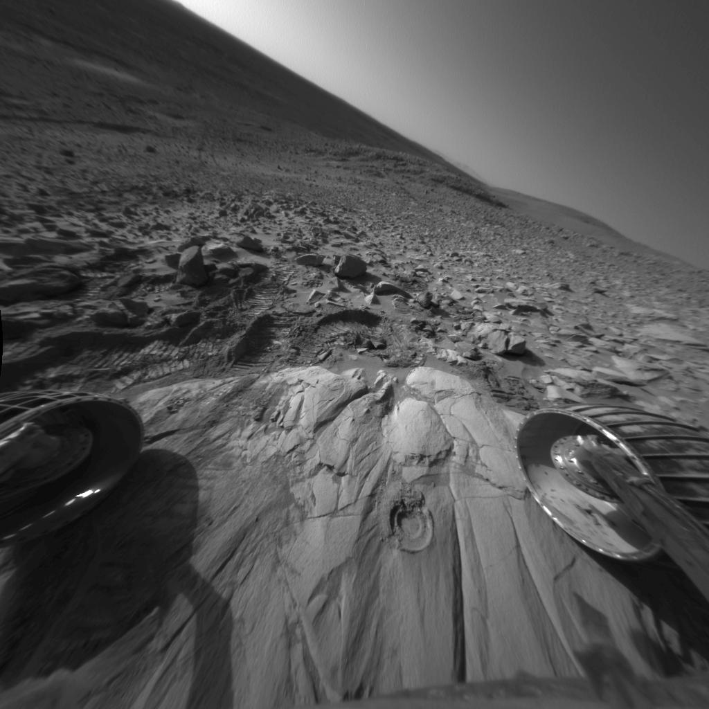
PIA06757:
Tracks Inside 'Endurance'
Full Resolution:
TIFF
(696.5 kB)
JPEG
(96.11 kB)
2004-08-11
Mars
Mars Exploration Rover (MER)
Navigation Camera
2709x1146x1
PIA06758:
New Look at "Endurance" via Mars Express
Full Resolution:
TIFF
(1.708 MB)
JPEG
(244.7 kB)
2004-08-11
Mars
Mars Exploration Rover (MER)
Hazcam
1024x1024x1
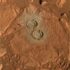
PIA06759:
Side View of "Endurance Crater"
Full Resolution:
TIFF
(839.2 kB)
JPEG
(85.15 kB)
2004-08-11
Mars
Mars Exploration Rover (MER)
Hazcam
1024x1024x1
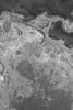
PIA06760:
Contrasting Martian Terrains
Full Resolution:
TIFF
(786.6 kB)
JPEG
(114.2 kB)
2004-08-11
Mars
Mars Exploration Rover (MER)
Panoramic Camera
953x1019x3
PIA06761:
"Endurance" Courtesy of Mars Express
Full Resolution:
TIFF
(2.918 MB)
JPEG
(248.1 kB)
2004-08-11
Mars
Mars Global Surveyor (MGS)
Mars Orbiter Camera (MOC)
672x1008x1
PIA06799:
Frosty Polar Slope
Full Resolution:
TIFF
(678.3 kB)
JPEG
(106.3 kB)
2004-08-11
Mars
2001 Mars Odyssey
THEMIS
900x2013x3
PIA06820:
Melas Chasma in IR Color
Full Resolution:
TIFF
(3.382 MB)
JPEG
(205.2 kB)
2004-08-12
Mars
Mars Exploration Rover (MER)
Navigation Camera
7704x2401x1
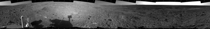
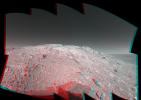
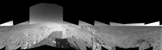
PIA06765:
Making Tracks on Mars (left-eye)
Full Resolution:
TIFF
(10.29 MB)
JPEG
(1.504 MB)
2004-08-12
Mars
Mars Exploration Rover (MER)
Navigation Camera
7704x2401x1
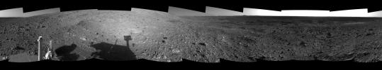
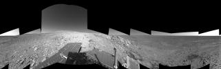
PIA06766:
Making Tracks on Mars (right-eye)
Full Resolution:
TIFF
(10.01 MB)
JPEG
(1.458 MB)
2004-08-12
Mars
Mars Exploration Rover (MER)
Navigation Camera
5449x5449x1
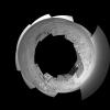
PIA06767:
Making Tracks on Mars (polar)
Full Resolution:
TIFF
(12.34 MB)
JPEG
(1.637 MB)
2004-08-12
Mars
Mars Exploration Rover (MER)
Navigation Camera
4000x4000x1
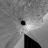
PIA06768:
Making Tracks on Mars (vertical)
Full Resolution:
TIFF
(12.52 MB)
JPEG
(1.649 MB)
2004-08-12
Mars
Mars Exploration Rover (MER)
Navigation Camera
7466x1826x1
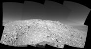
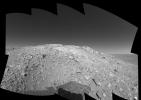
PIA06769:
An Outcrop with a View
Full Resolution:
TIFF
(8.116 MB)
JPEG
(1.303 MB)
2004-08-12
Mars
Mars Exploration Rover (MER)
Navigation Camera
7704x2401x3
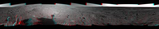
PIA06764:
Making Tracks on Mars (3-D)
Full Resolution:
TIFF
(27.49 MB)
JPEG
(1.701 MB)
2004-08-12
Mars
Mars Global Surveyor (MGS)
Mars Orbiter Camera (MOC)
836x1254x1
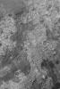
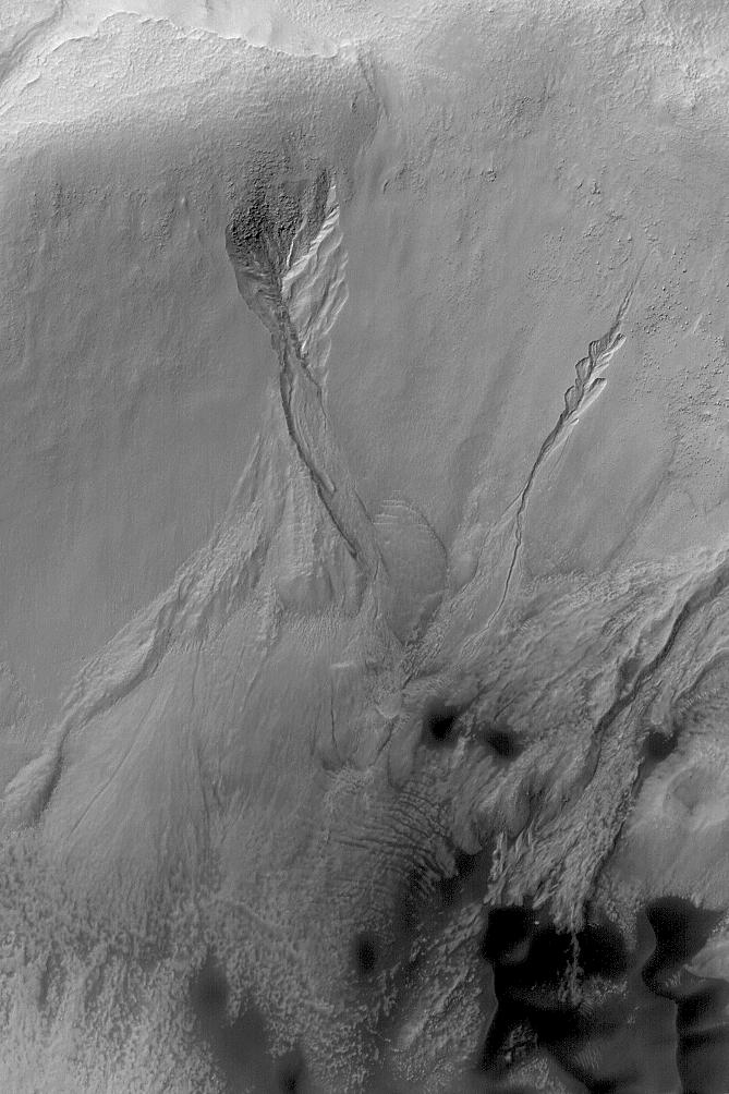
PIA06800:
Bright Layer Outcrops
Full Resolution:
TIFF
(1.05 MB)
JPEG
(148.9 kB)
2004-08-12
Mars
2001 Mars Odyssey
THEMIS
1397x3052x1
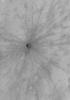
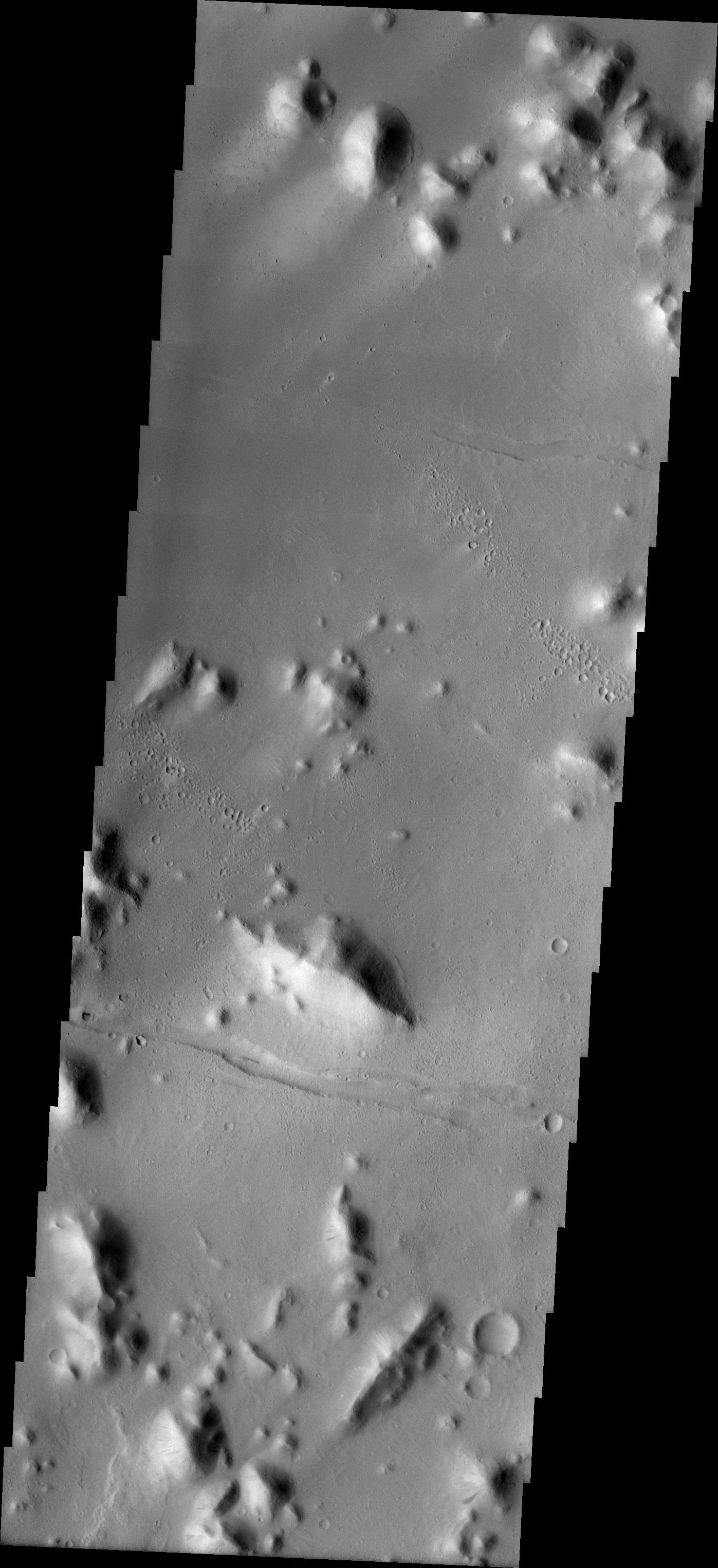
PIA06821:
The Naming of Things: Tartarus Montes
Full Resolution:
TIFF
(3.215 MB)
JPEG
(375.7 kB)
2004-08-13
Mars
Mars Global Surveyor (MGS)
Mars Orbiter Camera (MOC)
1024x1536x1
PIA06801:
Polar Cap Retreat
Full Resolution:
TIFF
(1.575 MB)
JPEG
(230.9 kB)
2004-08-13
Mars
2001 Mars Odyssey
THEMIS
797x5893x1
PIA06822:
Promethei Terra
Full Resolution:
TIFF
(4.67 MB)
JPEG
(451 kB)
2004-08-13
Mars
Mars Exploration Rover (MER)
Microscopic Imager
2246x2267x1
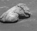
PIA06762:
Browsing at 'Bylot'
Full Resolution:
TIFF
(4.688 MB)
JPEG
(761.4 kB)
2004-08-14
Mars
Mars Global Surveyor (MGS)
Mars Orbiter Camera (MOC)
836x1254x1
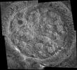
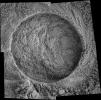
PIA06806:
South Polar Crater
Full Resolution:
TIFF
(983.7 kB)
JPEG
(157 kB)
2004-08-15
Mars
Mars Global Surveyor (MGS)
Mars Orbiter Camera (MOC)
836x1254x1
PIA06803:
Ridged Layer Outcrop
Full Resolution:
TIFF
(1.05 MB)
JPEG
(256.8 kB)
2004-08-16
Mars
Mars Global Surveyor (MGS)
Mars Orbiter Camera (MOC)
836x1254x1
PIA06804:
Sedimentary Rock Outcrops
Full Resolution:
TIFF
(1.05 MB)
JPEG
(214.5 kB)
2004-08-16
Mars
2001 Mars Odyssey
THEMIS
611x2304x1
PIA06823:
Daedalia Planum
Full Resolution:
TIFF
(1.409 MB)
JPEG
(218.2 kB)
2004-08-17
Mars
Mars Global Surveyor (MGS)
Mars Orbiter Camera (MOC)
672x1008x1
PIA06809:
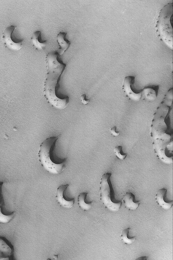
Aligned Defrosting Dunes
Full Resolution:
TIFF
(678.3 kB)
JPEG
(141.9 kB)
2004-08-17
Mars
2001 Mars Odyssey
THEMIS
889x2291x1
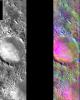
PIA06824:
Elysium Planitia
Full Resolution:
TIFF
(2.039 MB)
JPEG
(520.9 kB)
2004-08-18
Mars
Mars Global Surveyor (MGS)
Mars Orbiter Camera (MOC)
836x1254x1
PIA06805:
Ancient Bedforms
Full Resolution:
TIFF
(1.003 MB)
JPEG
(134.2 kB)
2004-08-18
Mars
2001 Mars Odyssey
THEMIS
2347x3532x1
PIA06825:
Hydraotes Chaos
Full Resolution:
TIFF
(5.098 MB)
JPEG
(454.5 kB)
2004-08-18
Mars
Mars Exploration Rover (MER)
Panoramic Camera
3769x1436x3
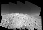
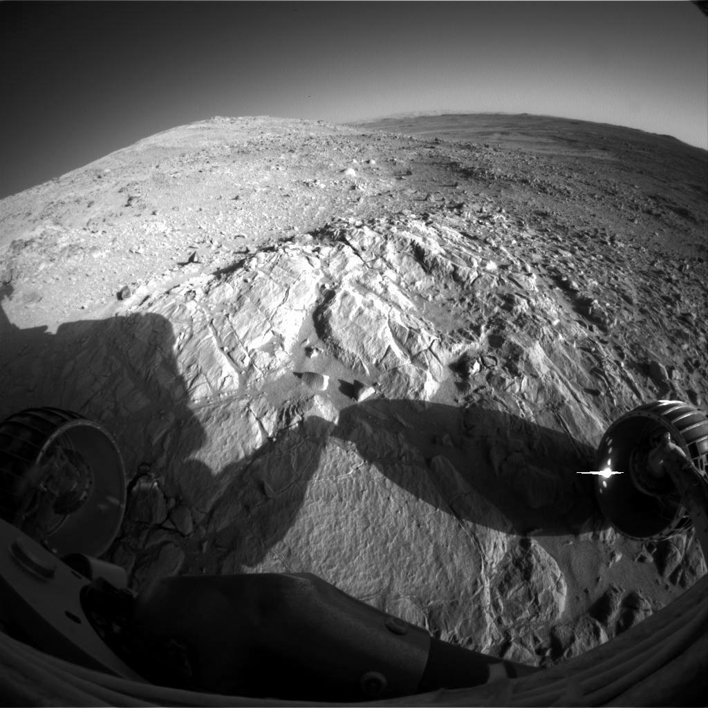
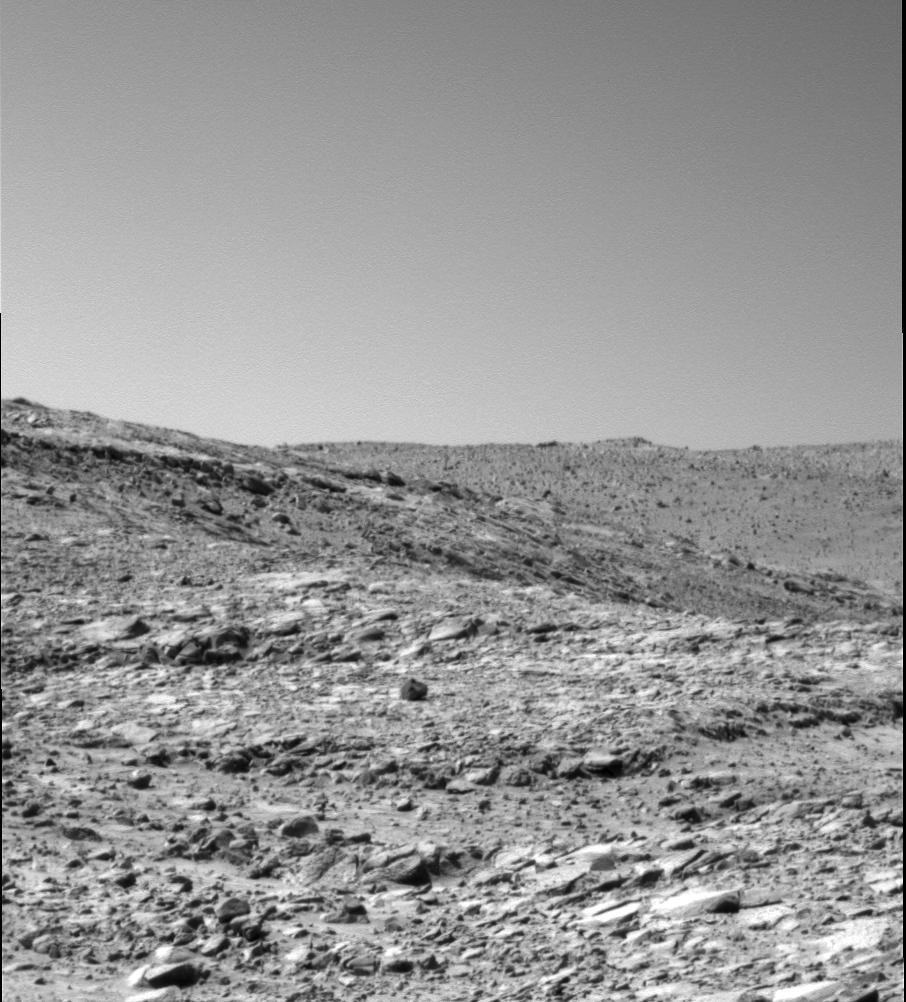
PIA06770:
Perched Above Gusev Crater
Full Resolution:
TIFF
(9.207 MB)
JPEG
(447.6 kB)
2004-08-18
Mars
Mars Exploration Rover (MER)
Navigation Camera
1024x1024x1
PIA06771:
Soft Rock Yields Clues to Mars' Past
Full Resolution:
TIFF
(1.05 MB)
JPEG
(192.5 kB)
2004-08-18
Mars
Mars Exploration Rover (MER)
Alpha Particle X-ray Spectrometer
Panoramic Camera
1024x1024x3
PIA06772:
'Clovis' in Color
Full Resolution:
TIFF
(2.967 MB)
JPEG
(126.1 kB)
2004-08-18
Mars
Mars Exploration Rover (MER)
Panoramic Camera
1024x1024x3
PIA06773:
The Call of the Dark Rocks
Full Resolution:
TIFF
(3.15 MB)
JPEG
(217.9 kB)
2004-08-18
Mars
Mars Exploration Rover (MER)
Panoramic Camera
1024x1024x1
PIA06774:
Ripples in the Ripples
Full Resolution:
TIFF
(1.05 MB)
JPEG
(210.9 kB)
2004-08-18
Mars
Mars Exploration Rover (MER)
Panoramic Camera
256x214x1
PIA06775:
Weird 'Endurance' Rock Ahead
Full Resolution:
TIFF
(54.43 kB)
JPEG
(6.778 kB)
2004-08-18
Mars
Mars Exploration Rover (MER)
Panoramic Camera
1024x1024x3
PIA06776:
Cloudy Skies on Mars
Full Resolution:
2004-08-18
Mars
Mars Exploration Rover (MER)
Panoramic Camera
724x424x3
PIA06777:
Two Types of Round Pebbles in 'Endurance'
Full Resolution:
TIFF
(922.3 kB)
JPEG
(63.17 kB)
2004-08-18
Mars
Mars Exploration Rover (MER)
Microscopic Imager
2044x2006x1
PIA06778:
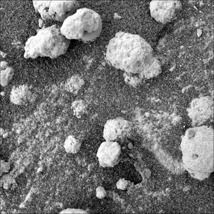
'Blueberries' and 'Popcorn'
Full Resolution:
TIFF
(4.105 MB)
JPEG
(668.6 kB)
2004-08-18
Mars
Mars Exploration Rover (MER)
Microscopic Imager
819x819x1
PIA06779:
'Blueberries' Inside 'Popcorn'
Full Resolution:
TIFF
(671.6 kB)
JPEG
(196.7 kB)
2004-08-19
Mars
Mars Exploration Rover (MER)
Panoramic Camera
296x296x1
PIA06780:
Pebble Jammed in Rock Abrasion Tool
Full Resolution:
TIFF
(85.68 kB)
JPEG
(9.449 kB)
2004-08-19
Mars
Mars Exploration Rover (MER)
Navigation Camera
1024x1024x1
PIA06781:
Window to 'Clovis's' Altered Past
Full Resolution:
TIFF
(791.3 kB)
JPEG
(109.3 kB)
2004-08-19
Mars
Mars Exploration Rover (MER)
Panoramic Camera
906x1002x1
PIA06782:
Where the Rocks Reside
Full Resolution:
TIFF
(898.8 kB)
JPEG
(139.1 kB)
2004-08-19
Mars
Mars Global Surveyor (MGS)
Mars Orbiter Camera (MOC)
1024x2386x1
PIA06811:
Polar Unconformity
Full Resolution:
TIFF
(2.306 MB)
JPEG
(279.8 kB)
2004-08-19
Mars
2001 Mars Odyssey
THEMIS
1403x3058x3
PIA06826:
Tantalus Fluctus
Full Resolution:
TIFF
(5.127 MB)
JPEG
(781.6 kB)
2004-08-20
Mars
Mars Global Surveyor (MGS)
Mars Orbiter Camera (MOC)
672x1900x1
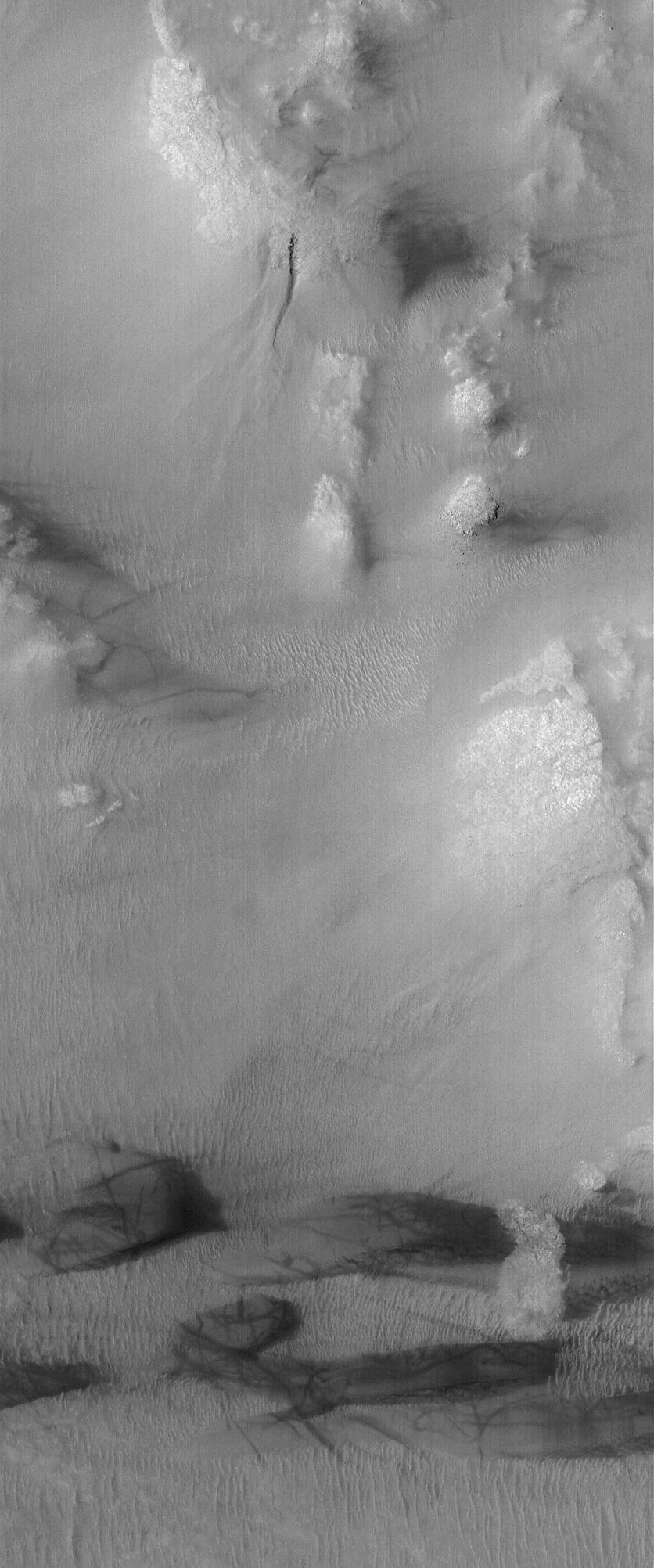
PIA06812:
Rabe Dunes
Full Resolution:
TIFF
(1.278 MB)
JPEG
(168.8 kB)
2004-08-20
Mars
2001 Mars Odyssey
THEMIS
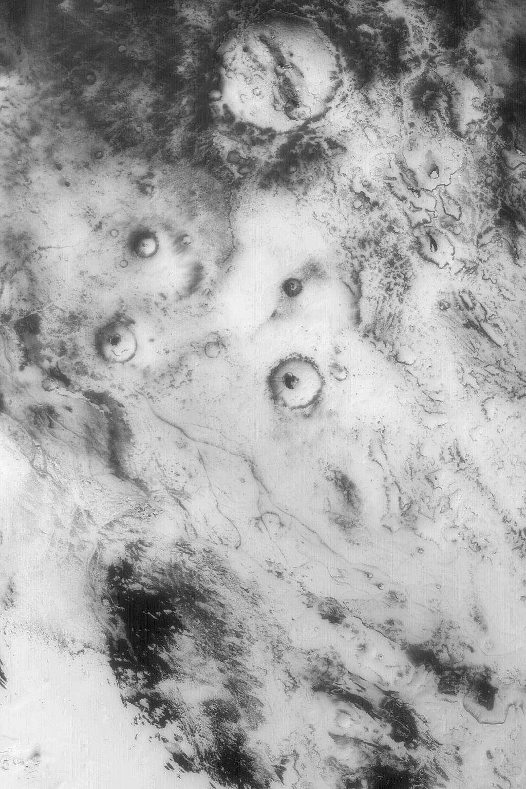
2476x2467x1
PIA06827:
Hecate Tholus
Full Resolution:
TIFF
(5.735 MB)
JPEG
(707.2 kB)
1-100
101-200
201-300
301-400
401-500
501-600
601-700
701-800
801-900
901-1000
Currently displaying images:
2761 - 2860
of 12718


