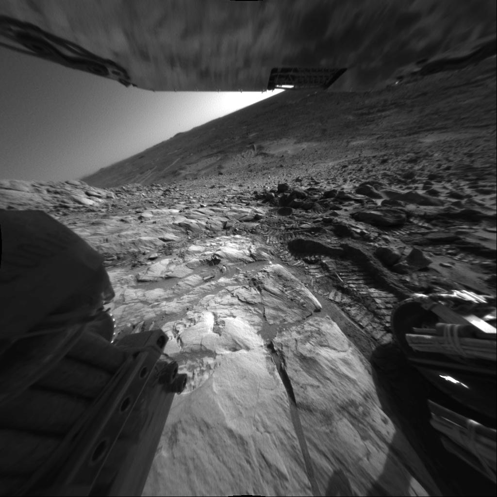
NASA's Mars Exploration Rover Spirit captured this interesting view of martian topography just below the "West Spur" portion of the "Columbia Hills" on sol 208 (Aug. 2, 2004). The view is looking southwest. The rover's wheel tracks show the contrast between soft martian soil and the harder "Clovis" rock outcrop, which scientists are now studying.
The angle of the horizon indicates the tilt of the rover to be about 20 degrees. On the horizon is a small peak informally named "Grissom Hill," about 15 kilometers (9.3 miles) away. To the right of the peak is the edge of a 2-kilometer-wide (1.2-mile-wide) crater. A few weeks ago, Spirit stopped to conduct scientific studies of rocks in "Hank's Hollow," located on the right side of the image approximately one-third of the way down from the top. This photo was taken with Spirit's right rear hazard-avoidance camera.
