|
Your search criteria found 2289 images Target is Earth |
| My List |
Addition Date | Target |
Mission
|
Instrument | Size |

|
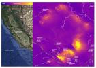
2019-07-02 | Earth |
ECOSTRESS |
2258x2190x3 | |
|
|||||
|
|
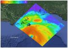
2019-08-08 | Earth |
ECOSTRESS |
974x864x3 | |
|
|||||
|
|
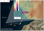
2019-08-28 | Earth |
ECOSTRESS |
1867x1132x3 | |
|
|||||
|
|
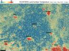
2019-09-18 | Earth |
ECOSTRESS |
1430x857x3 | |

|
|||||
|
|
2019-11-05 | Earth |
ECOSTRESS |
720x715x3 | |
|
|||||
|
|
2020-02-04 | Earth |
ECOSTRESS |
772x440x3 | |

|
|||||
|
|
2020-08-03 | Earth |
ECOSTRESS |
2908x2224x3 | |
|
|||||
|
|
2020-08-03 | Earth |
ECOSTRESS |
1650x1023x3 | |

|
|||||
|
|
2020-08-19 | Earth |
ECOSTRESS |
3507x2480x3 | |
|
|||||
|
|
2020-08-19 | Earth |
ECOSTRESS |
3447x2404x3 | |
|
|||||
|
|
2020-08-27 | Earth |
ECOSTRESS |
3507x2480x3 | |
|
|||||
|
|
2020-09-08 | Earth |
ECOSTRESS |
1600x1007x3 | |
|
|||||
|
|
2020-10-02 | Earth |
ECOSTRESS |
1825x1894x3 | |

|
|||||
|
|
2020-10-28 | Earth |
ECOSTRESS |
1695x1883x3 | |

|
|||||
|
|
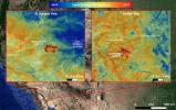
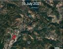
2021-07-15 | Earth |
ECOSTRESS |
1984x2041x3 | |
|
|||||
|
|
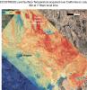
2021-07-29 | Earth |
ECOSTRESS |
827x679x3 | |
|
|||||
|
|
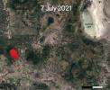
2021-07-29 | Earth |
ECOSTRESS |
731x573x3 | |
|
|||||
|
|
2021-10-07 | Earth |
ECOSTRESS |
3507x2480x3 | |
|
|||||
|
|
2021-10-07 | Earth |
ECOSTRESS |
3507x2480x3 | |
|
|||||
|
|
2021-10-27 | Earth |
ECOSTRESS |
3507x2480x3 | |
|
|||||
|
|
2022-05-12 | Earth |
ECOSTRESS |
3376x2477x3 | |
|
|||||
|
|
2022-06-15 | Earth |
ECOSTRESS |
2304x1296x3 | |

|
|||||
|
|
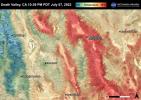
2022-06-22 | Earth |
ECOSTRESS |
3161x2230x3 | |
|
|||||
|
|
2022-06-22 | Earth |
ECOSTRESS |
3099x2201x3 | |
|
|||||
|
|
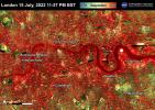
2022-06-30 | Earth |
ECOSTRESS |
3507x2480x3 | |
|
|||||
|
|
2022-06-30 | Earth |
ECOSTRESS |
3507x2480x3 | |
|
|||||
|
|
2022-06-30 | Earth |
ECOSTRESS |
3507x2480x3 | |
|
|||||
|
|
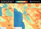
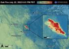
2022-07-22 | Earth |
ECOSTRESS |
3507x2480x3 | |
|
|||||
|
|
2022-08-04 | Earth |
ECOSTRESS |
3507x2480x3 | |
|
|||||
|
|
2022-08-04 | Earth |
ECOSTRESS |
3507x2480x3 | |
|
|||||
|
|
2022-08-04 | Earth |
ECOSTRESS |
3507x2480x3 | |
|
|||||
|
|
2022-08-04 | Earth |
ECOSTRESS |
3507x2480x3 | |
|
|||||
|
|
2022-08-04 | Earth |
ECOSTRESS |
3507x2480x3 | |
|
|||||
|
|
2022-08-04 | Earth |
ECOSTRESS |
3507x2480x3 | |

|
|||||
|
|
2022-08-04 | Earth |
ECOSTRESS |
3507x2480x3 | |
|
|||||
|
|
2022-08-04 | Earth |
ECOSTRESS |
3507x2480x3 | |
|
|||||
|
|
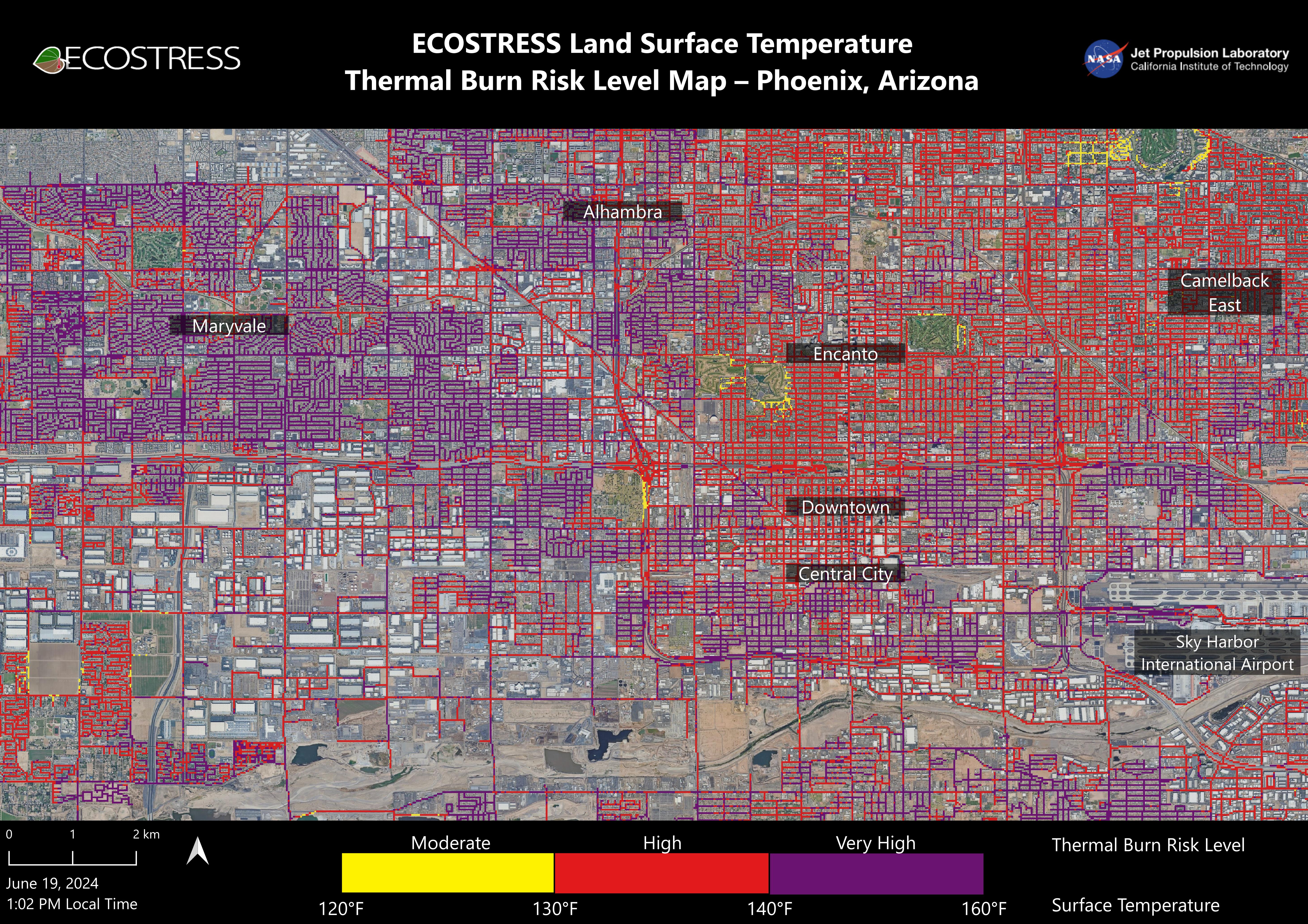
2024-07-02 | Earth |
ECOSTRESS |
ECOSTRESS |
5846x4133x3 |
|
|||||
|
|
2004-06-25 | Earth |
Envisat |
Advanced Synthetic Aperture Radar (ASAR) |
710x609x3 |
|
|||||
|
|
2011-04-01 | Earth |
Envisat |
Advanced Synthetic Aperture Radar |
1015x1284x3 |
|
|||||
|
|
2018-04-12 | Earth |
ENVISAT |
2367x1334x3 | |
|
|||||
|
|
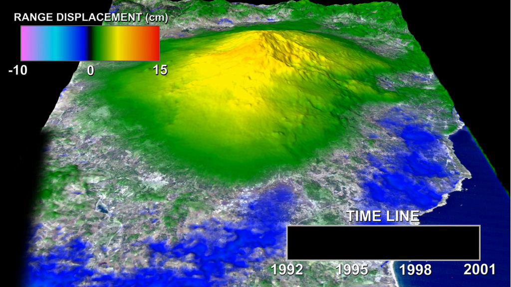
2000-08-17 | Earth |
European Remote Sensing Satellite Mission (ERS) |
2135x2386x3 | |
|
|||||
|
|
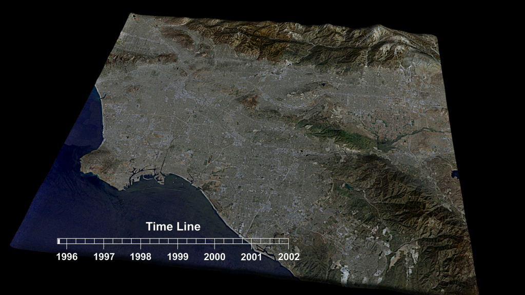
2001-10-17 | Earth |
European Remote Sensing Satellite Mission (ERS) |
2380x3122x3 | |
|
|||||
|
|
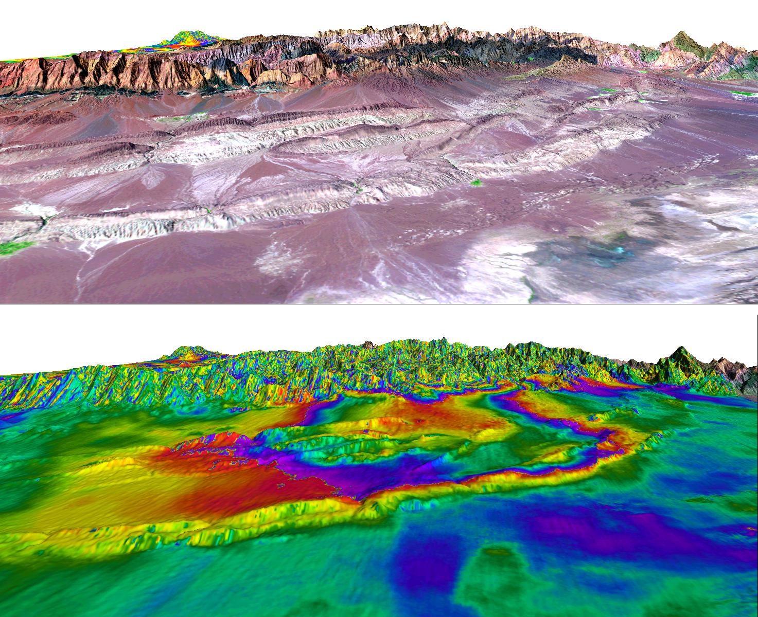
2012-02-06 | Earth |
European Remote Sensing Satellite Mission (ERS) |
Synthetic Aperture Radar (SAR) |
1024x576x3 |
|
|||||
|
|
2012-02-06 | Earth |
European Remote Sensing Satellite Mission (ERS) |
Synthetic Aperture Radar (SAR) |
1023x576x3 |
|
|||||
|
|
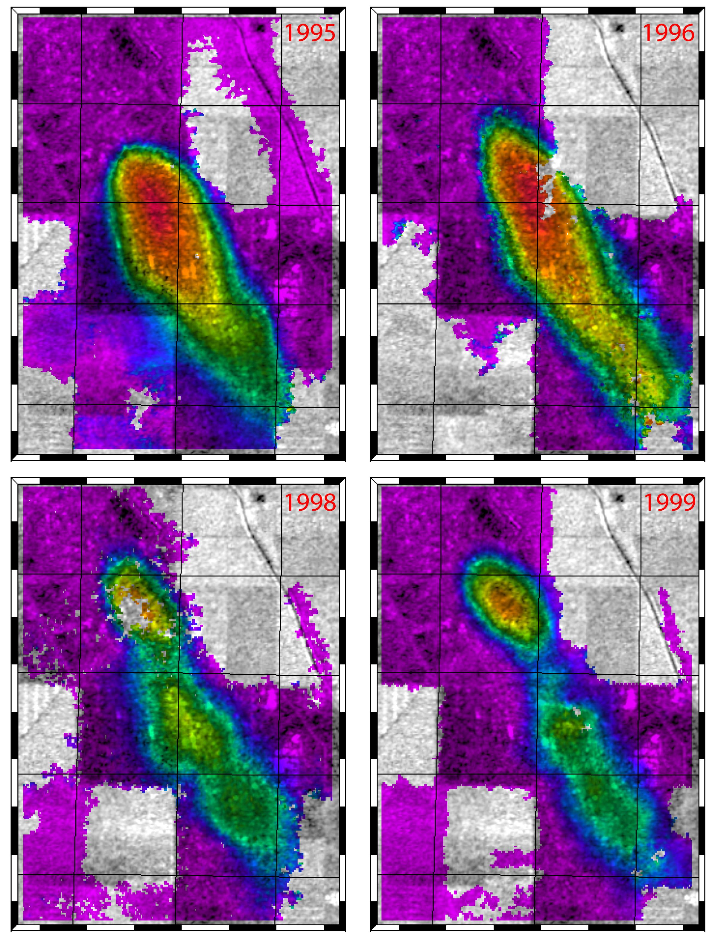
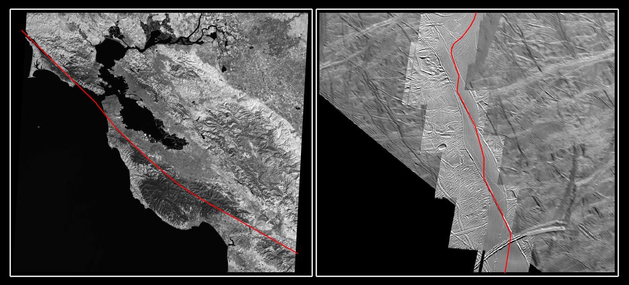
2004-06-25 | Earth |
European Remote Sensing Satellite Mission (ERS) Landsat |
Synthetic Aperture Radar (SAR) Thematic Mapper (TM) |
1473x1200x3 |

|
|||||
|
|
1996-01-29 | Earth |
Galileo |
Solid-State Imaging |
427x754x3 |
|
|||||
|
|
1996-01-29 | Earth |
Galileo |
Solid-State Imaging |
800x800x3 |
|
|||||
|
|
1996-01-29 | Earth |
Galileo |
Solid-State Imaging |
800x800x3 |
|
|||||
|
|
2001-02-28 | Earth |
Galileo |
Solid-State Imaging |
538x758x3 |

|
|||||
|
|
1996-02-01 | Earth |
Galileo |
Solid-State Imaging |
1378x458x3 |
|
|||||
|
|
1996-02-09 | Earth |
Galileo |
Solid-State Imaging |
2450x2200x3 |
|
|||||
|
|
2001-02-28 | Earth |
Galileo |
Solid-State Imaging |
452x746x3 |
|
|||||
|
|
1996-02-08 | Earth |
Galileo |
Solid-State Imaging |
800x800x3 |
|
|||||
|
|
1996-01-29 | Earth |
Galileo |
Solid-State Imaging |
800x800x3 |

|
|||||
|
|
1996-01-29 | Earth |
Galileo |
Solid-State Imaging |
987x987x3 |
|
|||||
|
|
1996-08-05 | Earth |
Galileo |
Solid-State Imaging |
3670x6735x3 |
|
|||||
|
|
1996-01-29 | Earth |
Galileo |
Solid-State Imaging |
1572x1580x3 |
|
|||||
|
|
1996-02-08 | Earth |
Galileo |
Solid-State Imaging |
650x650x1 |
|
|||||
|
|
1996-02-08 | Earth |
Galileo |
Near Infrared Mapping Spectrometer |
460x328x3 |
|
|||||
|
|
1996-02-08 | Earth |
Galileo |
Solid-State Imaging |
888x894x1 |
|
|||||
|
|
1996-02-08 | Earth |
Galileo |
Solid-State Imaging |
1083x1314x3 |
|
|||||
|
|
1998-06-04 | Earth |
Galileo |
Solid-State Imaging |
1700x2164x3 |
|
|||||
|
|
1997-09-07 | Ganymede |
Galileo |
Solid-State Imaging |
523x764x1 |

|
|||||
|
|
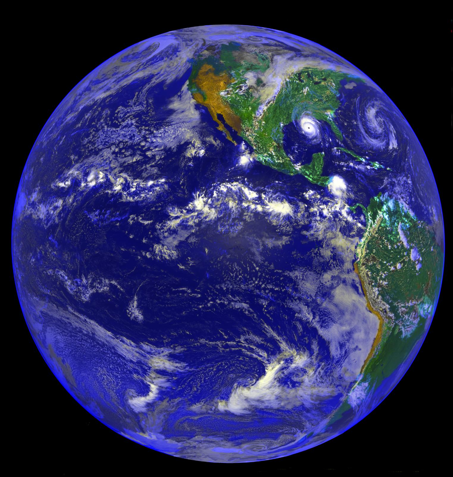
1997-09-10 | Earth |
Galileo |
420x480x3 | |

|
|||||
|
|
1997-09-10 | Earth |
Galileo |
620x480x3 | |

|
|||||
|
|
1997-09-10 | Earth |
Galileo |
Solid-State Imaging |
1020x1128x3 |
|
|||||
|
|
1997-09-10 | Earth |
Galileo |
Solid-State Imaging |
452x439x3 |
|
|||||
|
|
1998-12-07 | Europa |
Galileo |
Solid-State Imaging |
1231x558x3 |
|
|||||
|
|
1998-07-23 | Earth |
Geostationary Operational Environmental Satellite 7 (GOES-7) |
1523x1603x3 | |
|
|||||
|
|
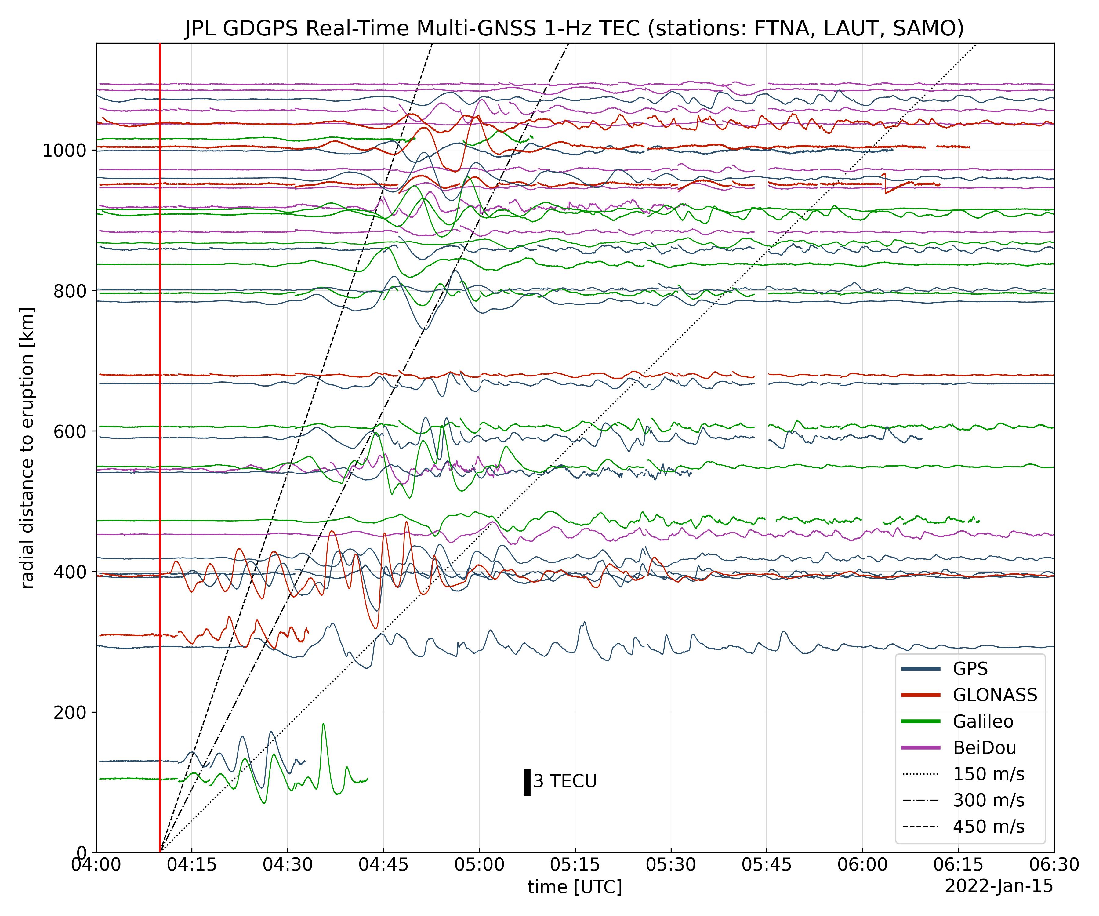
2022-01-27 | Earth |
Global Differential Global Positioning System (GDGPS) |
3600x3000x3 | |
|
|||||
|
|
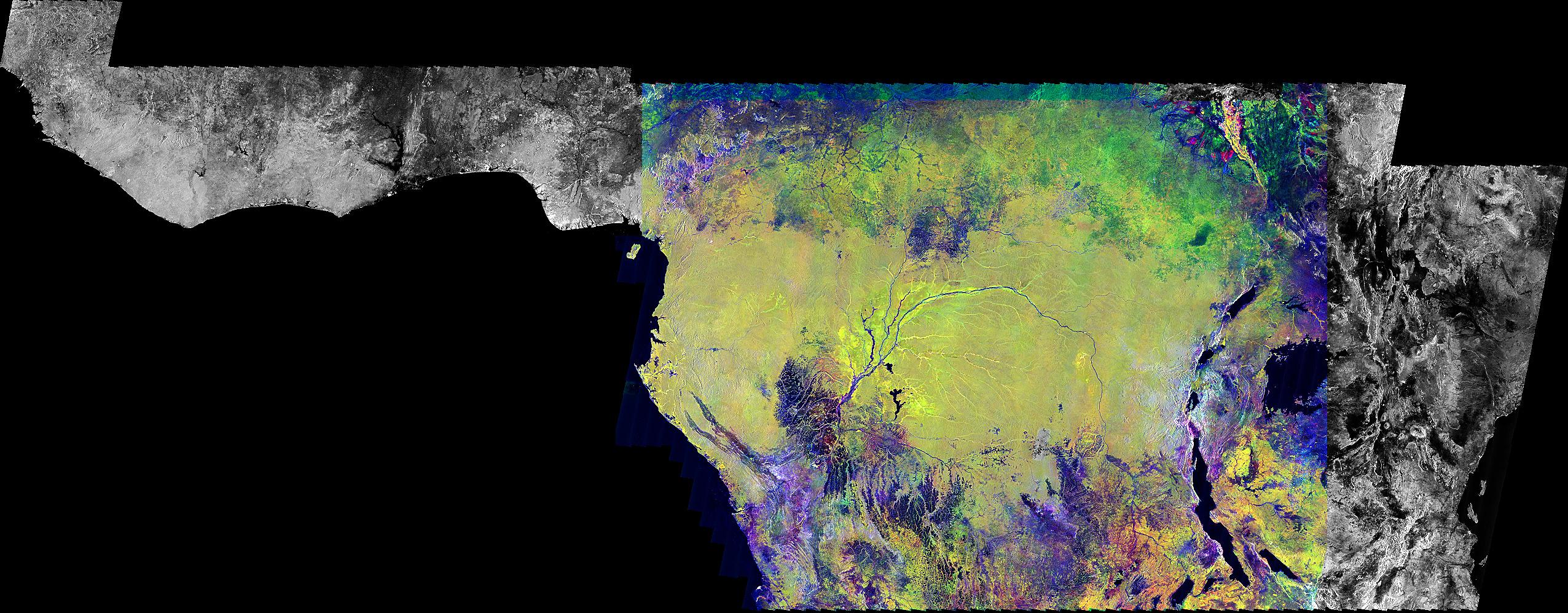
1999-09-23 | Earth |
Global Rain Forest Mapping Project (GRFM) |
JERS-1 SAR |
2552x997x3 |
|
|||||
|
|
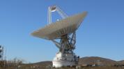
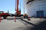
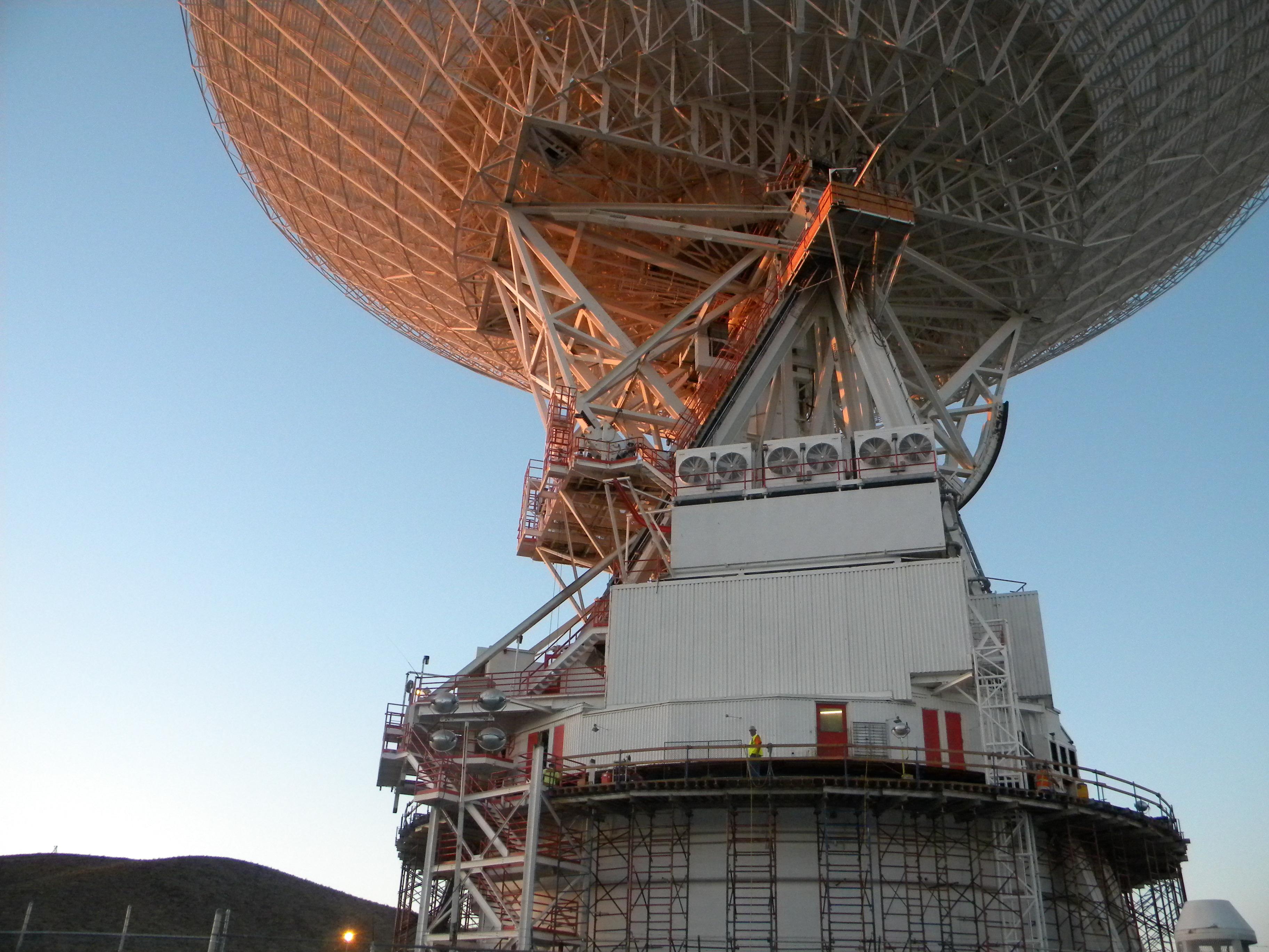
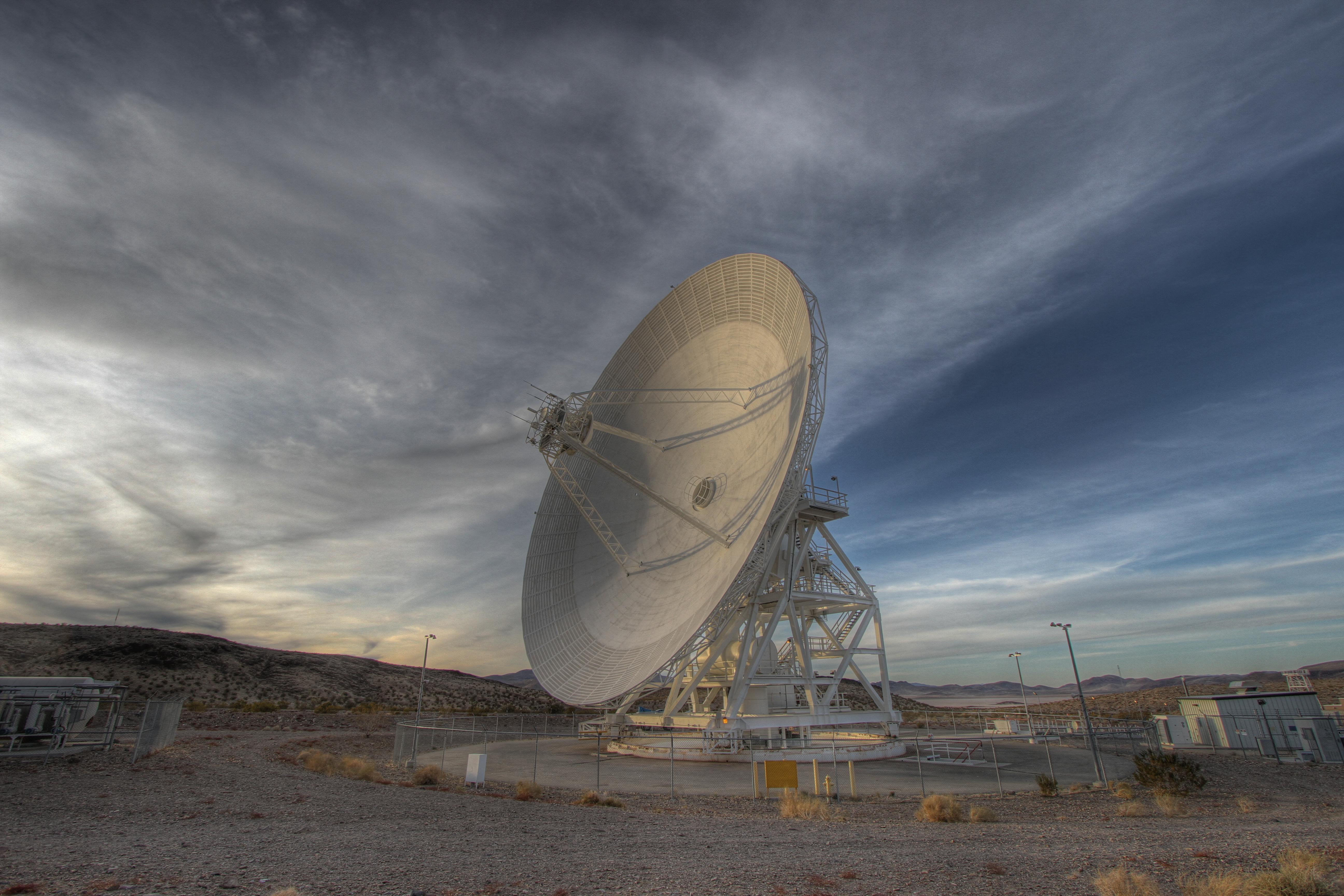
2008-07-06 | Earth |
Goldstone Deep Space Network (DSN) |
Deep Space Network Antenna |
1148x1119x3 |
|
|||||
|
|
2010-07-15 | Earth |
Goldstone Deep Space Network (DSN) |
Deep Space Network Antenna |
3648x2736x3 |

|
|||||
|
|
2010-07-15 | Earth |
Goldstone Deep Space Network (DSN) |
Deep Space Network Antenna |
3648x2736x3 |
|
|||||
|
|
2010-07-15 | Earth |
Goldstone Deep Space Network (DSN) |
Deep Space Network Antenna |
3648x2736x3 |

|
|||||
|
|
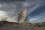
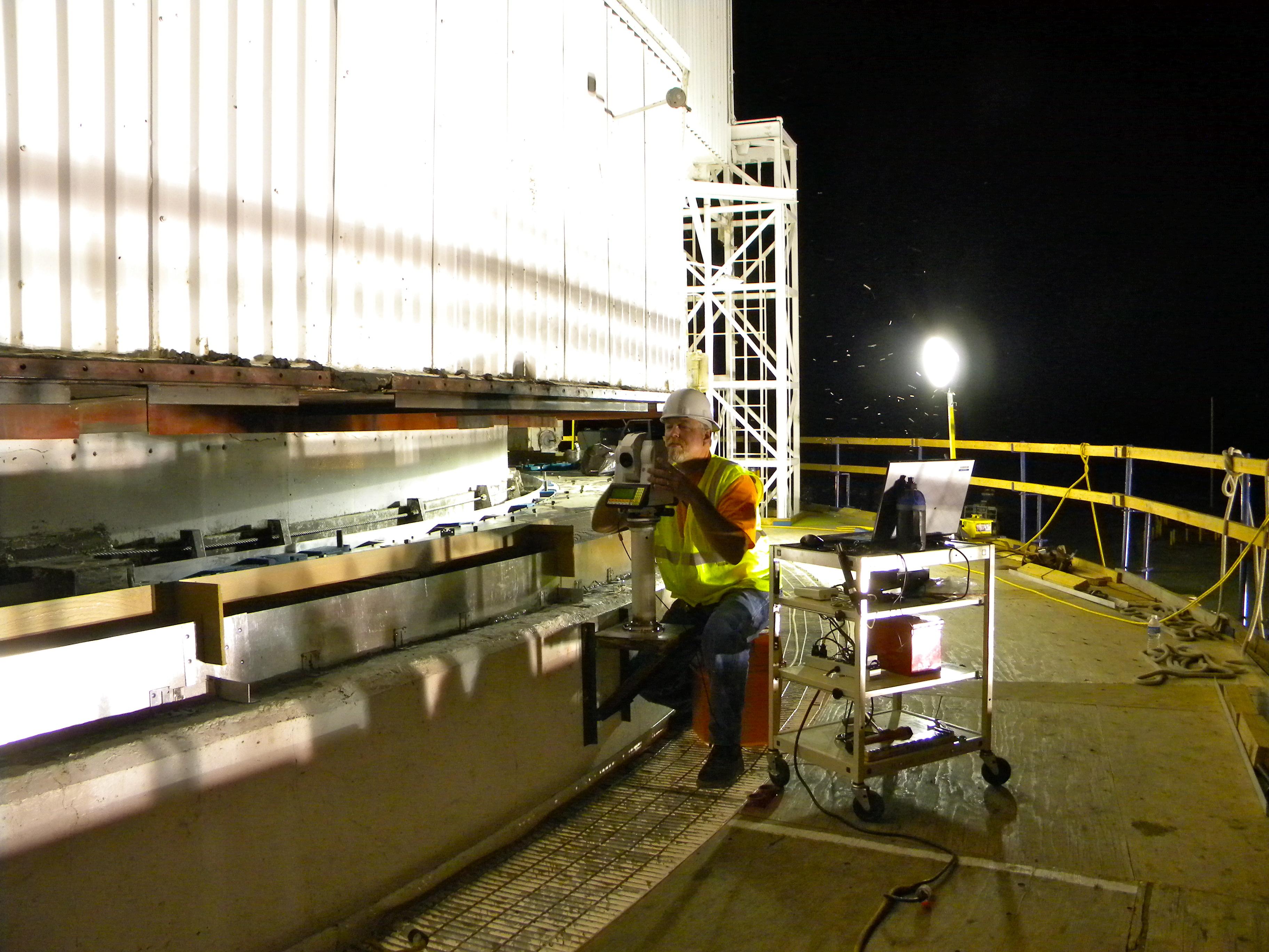
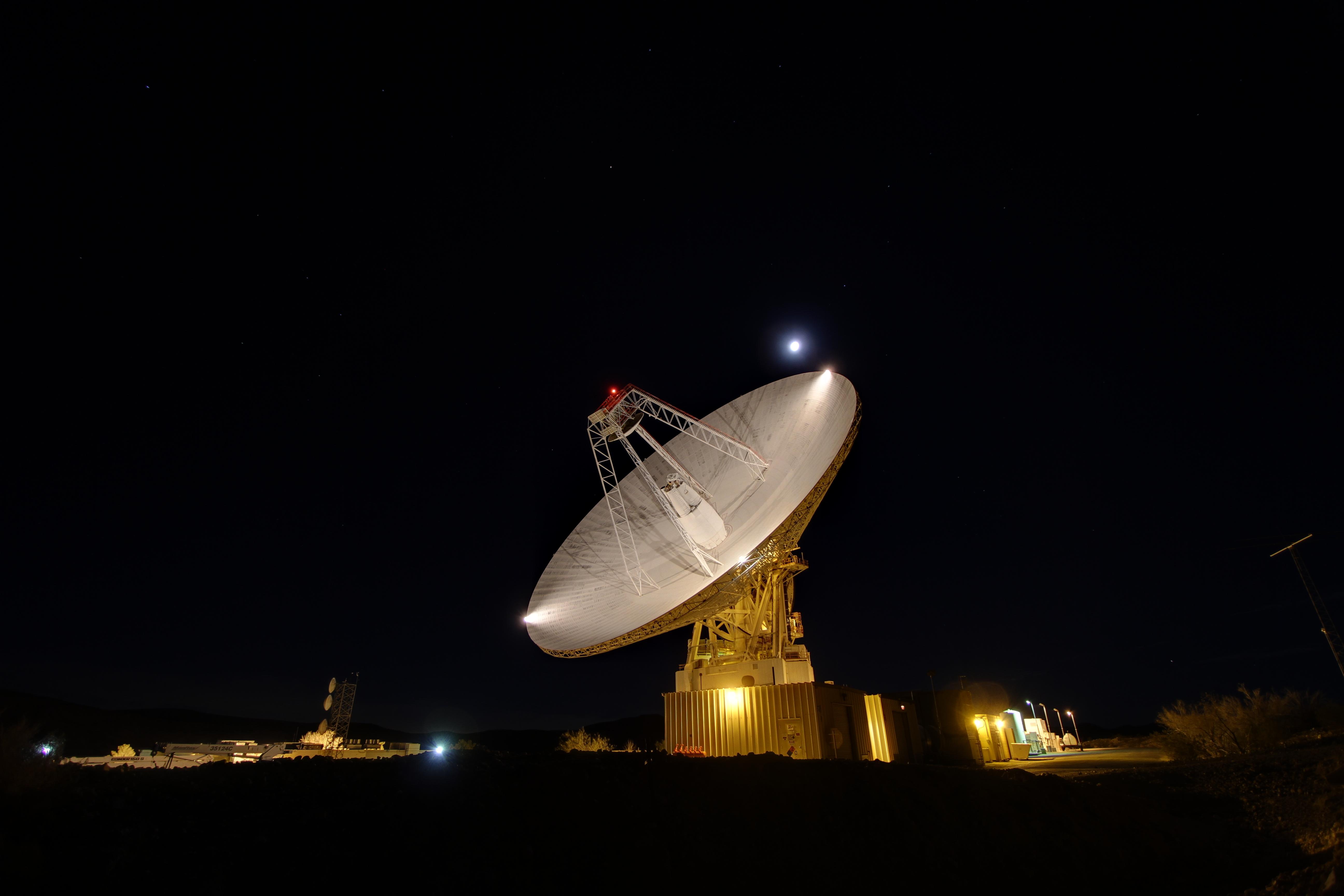
2010-08-25 | Earth |
Goldstone Deep Space Network (DSN) |
Deep Space Network Antenna |
1920x1080x3 |
|
|||||
|
|
2010-08-25 | Earth |
Goldstone Deep Space Network (DSN) |
Deep Space Network Antenna |
4000x3000x3 |
|
|||||
|
|
2010-08-25 | Earth |
Goldstone Deep Space Network (DSN) |
Deep Space Network Antenna |
4000x3000x3 |
|
|||||
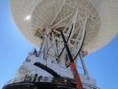
|
|
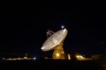
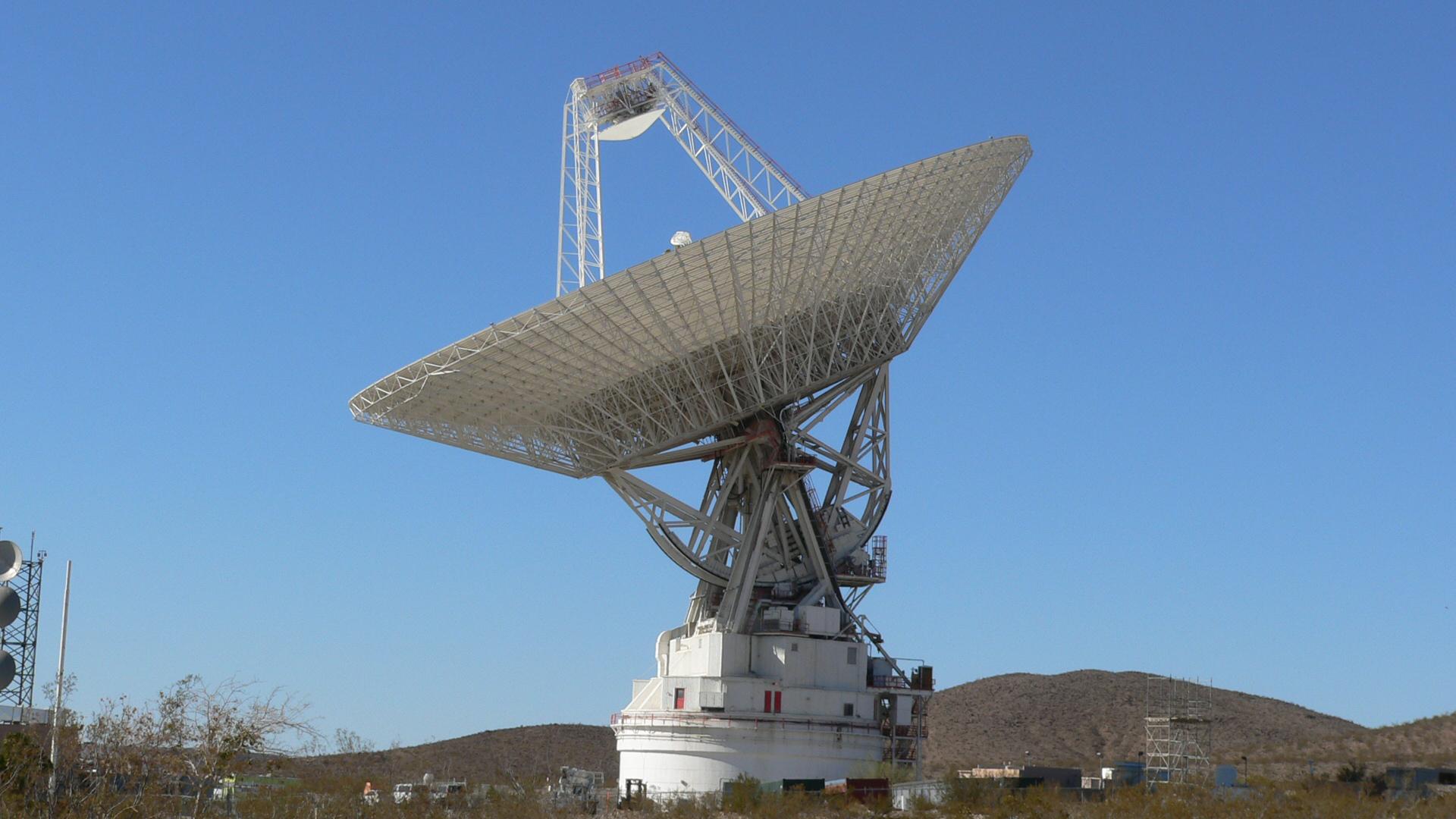
2010-11-03 | Earth |
Goldstone Deep Space Network (DSN) |
Deep Space Station 14 |
2560x1920x3 |
|
|||||
|
|
2010-11-03 | Earth |
Goldstone Deep Space Network (DSN) |
Deep Space Station 14 |
2560x1920x3 |

|
|||||
|
|
2010-11-03 | Earth |
Goldstone Deep Space Network (DSN) |
Deep Space Station 14 |
2560x1920x3 |
|
|||||
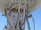
|
|
2010-11-03 | Earth |
Goldstone Deep Space Network (DSN) |
Deep Space Station 14 |
2560x1920x3 |
|
|||||
|
|
2010-11-03 | Earth |
Goldstone Deep Space Network (DSN) |
Deep Space Station 14 |
3264x2448x3 |
|
|||||
|
|
2010-11-03 | Earth |
Goldstone Deep Space Network (DSN) |
Deep Space Station 14 |
2448x3264x3 |

|
|||||
|
|
2010-11-03 | Earth |
Goldstone Deep Space Network (DSN) |
Deep Space Station 14 |
3264x2448x3 |

|
|||||
|
|
2010-11-03 | Earth |
Goldstone Deep Space Network (DSN) |
Deep Space Station 14 |
3872x2592x3 |
|
|||||
|
|
2010-11-03 | Earth |
Goldstone Deep Space Network (DSN) |
Deep Space Station 14 |
3872x2592x3 |
|
|||||
|
|
2010-11-03 | Earth |
Goldstone Deep Space Network (DSN) |
Deep Space Station 14 |
2592x3872x3 |
|
|||||
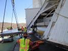
|
|
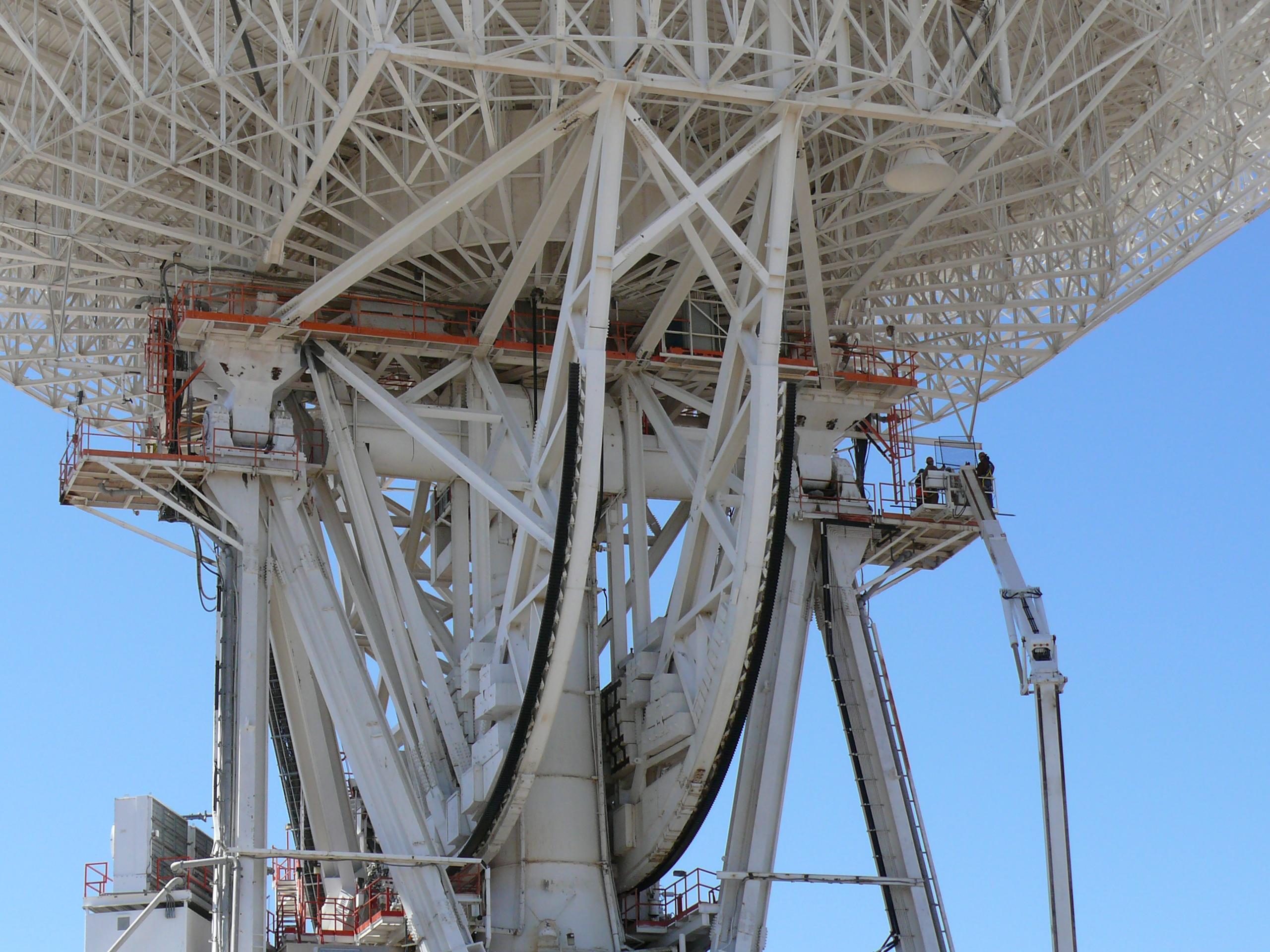
2013-12-18 | Earth |
Goldstone Deep Space Network (DSN) |
Goldstone Solar System Radar |
5184x3456x3 |

|
|||||
|
|
2013-12-18 | Earth |
Goldstone Deep Space Network (DSN) |
Goldstone Solar System Radar |
5184x3456x3 |
|
|||||
|
|
2013-12-18 | Earth |
Goldstone Deep Space Network (DSN) |
Goldstone Solar System Radar |
5184x3456x3 |
|
|||||
|
|
2013-12-18 | Earth |
Goldstone Deep Space Network (DSN) |
Goldstone Solar System Radar |
5184x3456x3 |
|
|||||
|
|
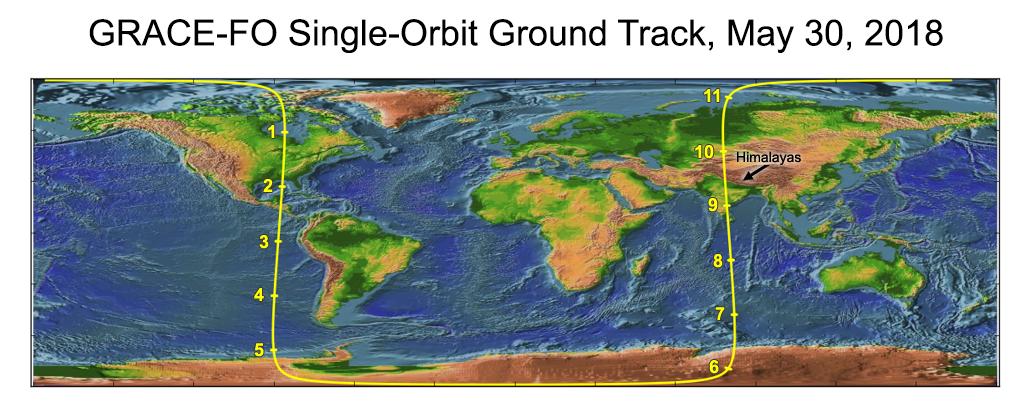
2018-06-11 | Earth |
GRACE-FO |
Microwave Ranging Instrument |
1032x409x3 |

|
|||||
|
|
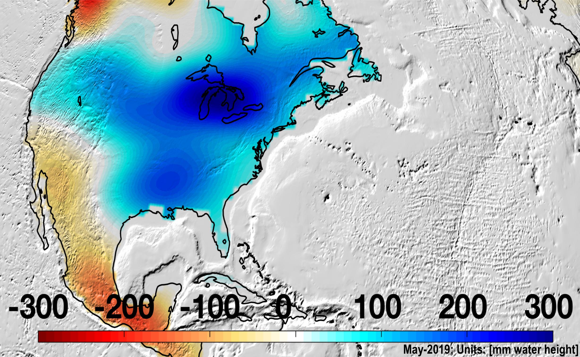
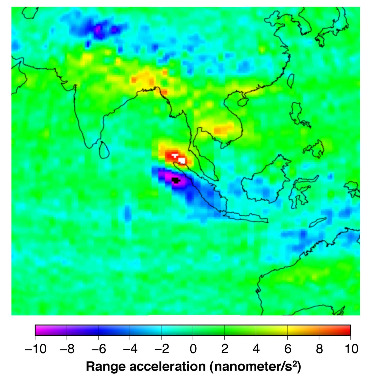
2019-08-20 | Earth |
GRACE-FO |
Microwave Ranging Instrument |
2457x1513x3 |

|
|||||
|
|
2019-08-20 | Earth |
GRACE-FO |
Microwave Ranging Instrument |
2454x1516x3 |
|
|||||
|
|
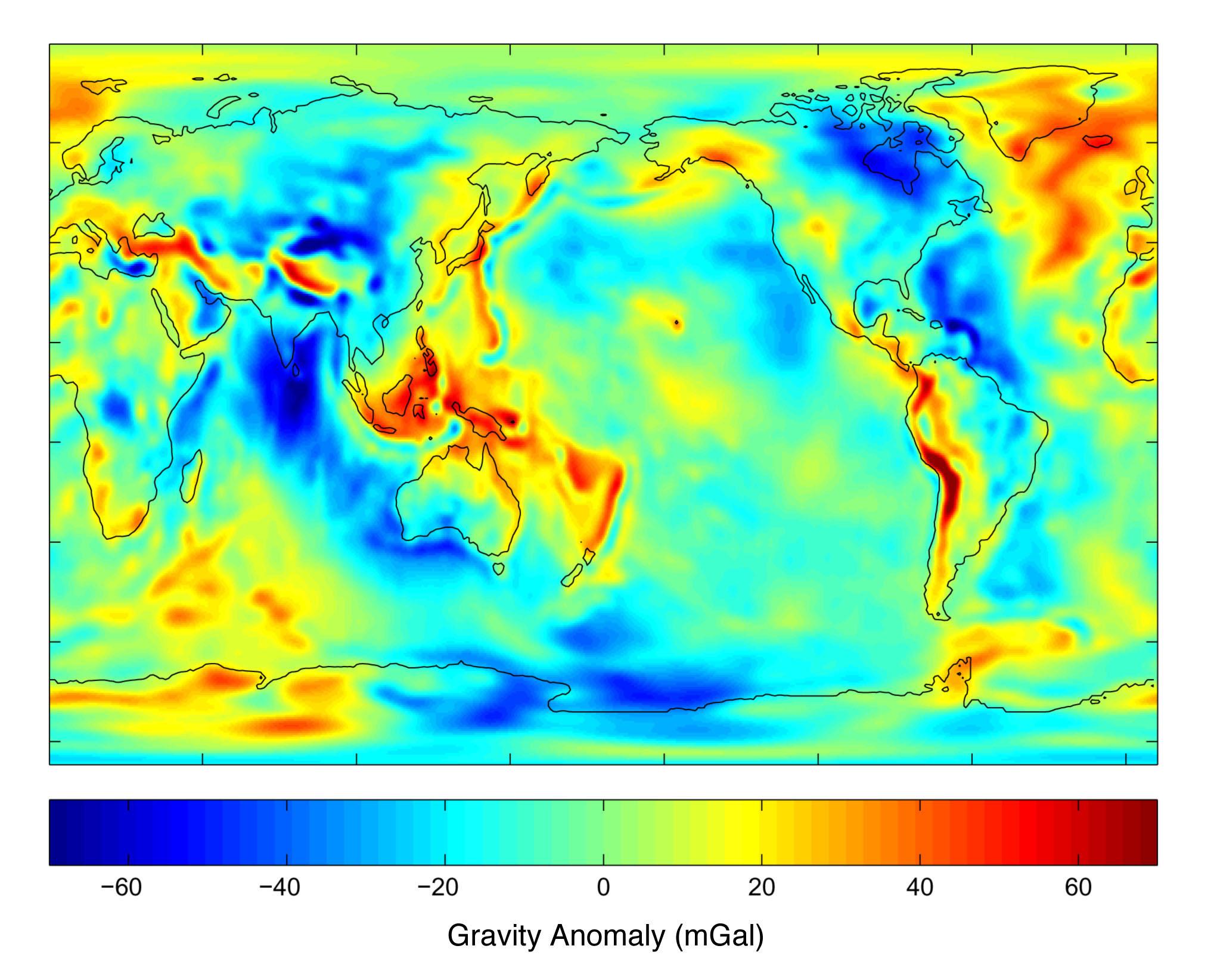
2003-07-21 | Earth |
GRACE |
K-Band Ranging System |
2037x1645x3 |
|
|||||
|
|
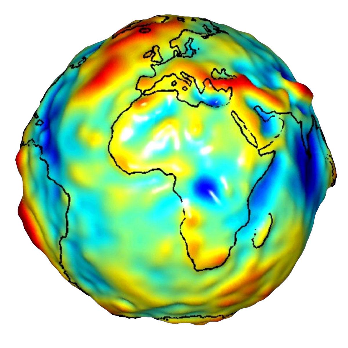
2010-02-19 | Earth |
GRACE |
K-Band Ranging System |
1279x720x3 |
|
|||||
|
|
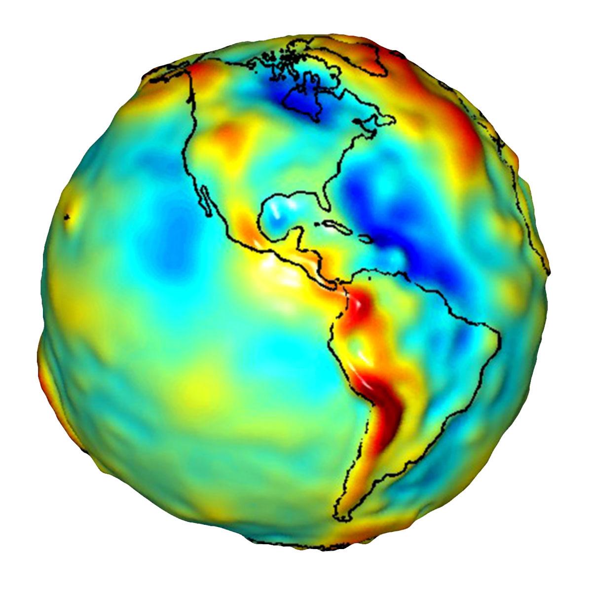
2005-12-06 | Earth |
GRACE |
K-Band Ranging System |
1302x1326x3 |
|
|||||
|
|
2007-12-11 | Earth |
GRACE |
K-Band Ranging System |
1200x1200x3 |
|
|||||
|
|
2009-07-15 | Earth |
GRACE |
K-Band Ranging System |
1200x1200x3 |
|
|||||

|
 |
|
|
|
 |
 |
|
|
|
|

|
| 1-100 | 101-200 | 201-300 | 301-400 | 401-500 | 501-600 | 601-700 | 701-800 | 801-900 | 901-1000 |
| Currently displaying images: 401 - 500 of 2289 |