|
Your search criteria found 3151 images Feature Name |
| My List |
Addition Date | Target | Mission | Instrument |
Size
|

|
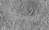
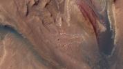
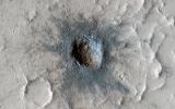
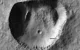
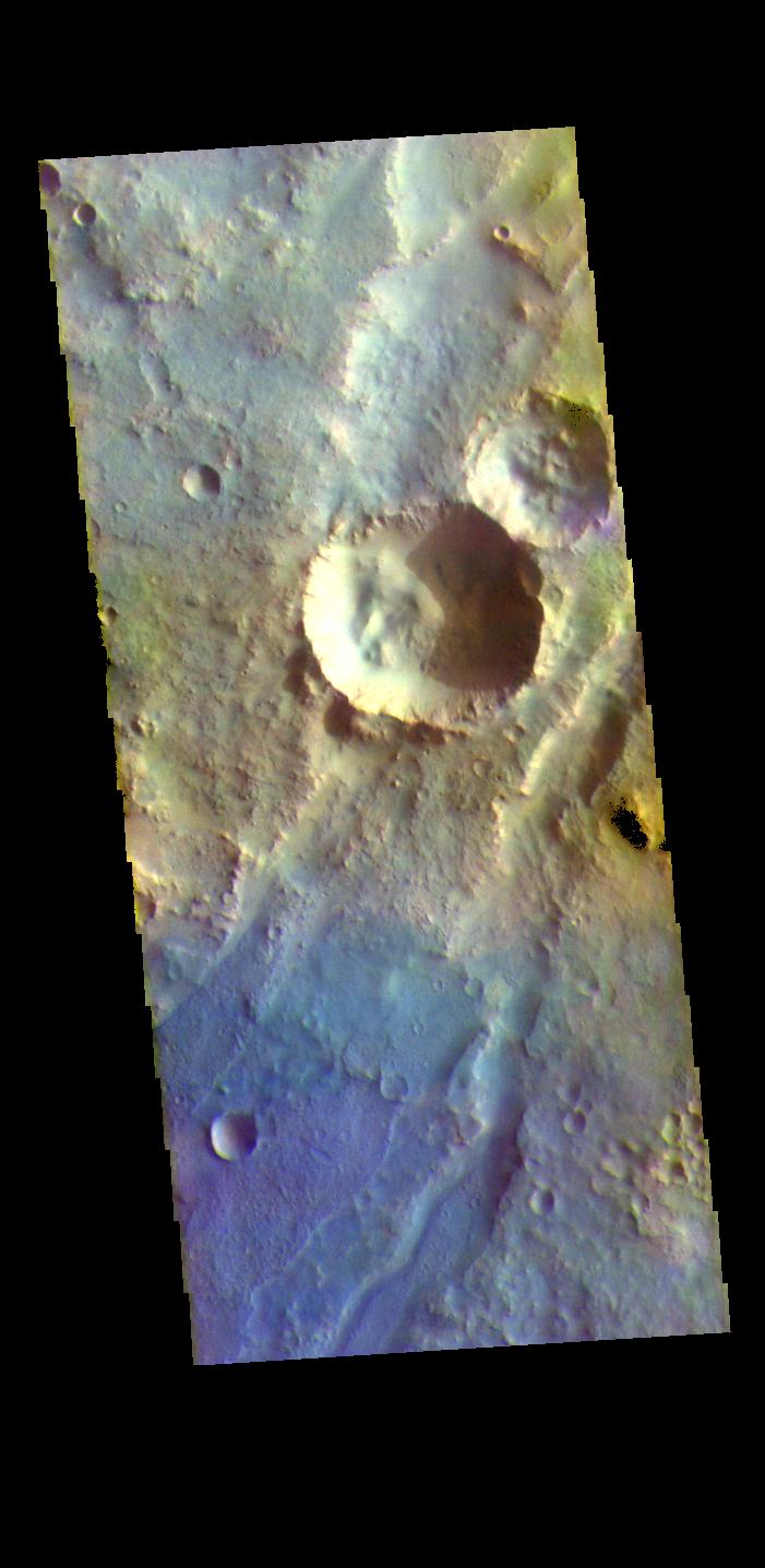
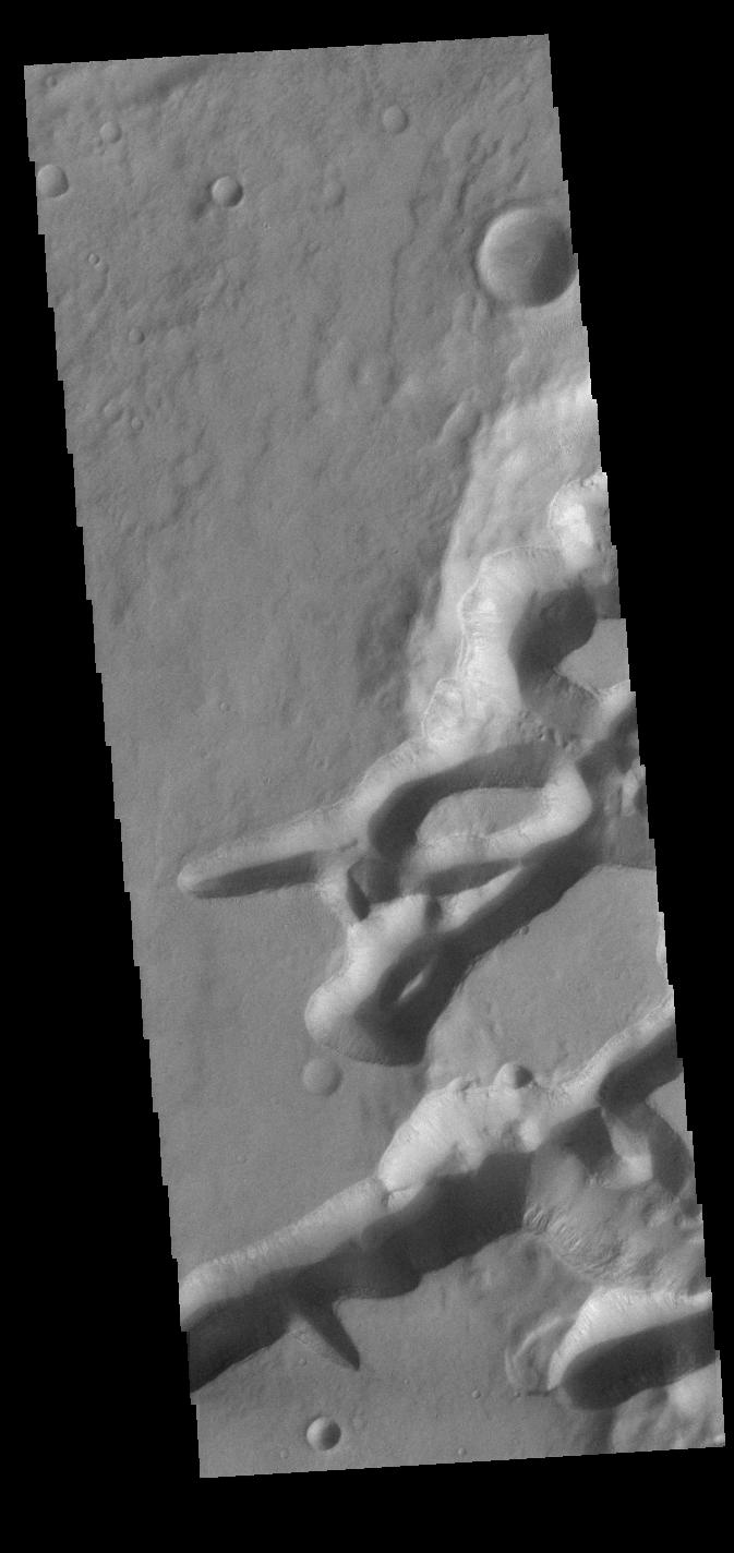
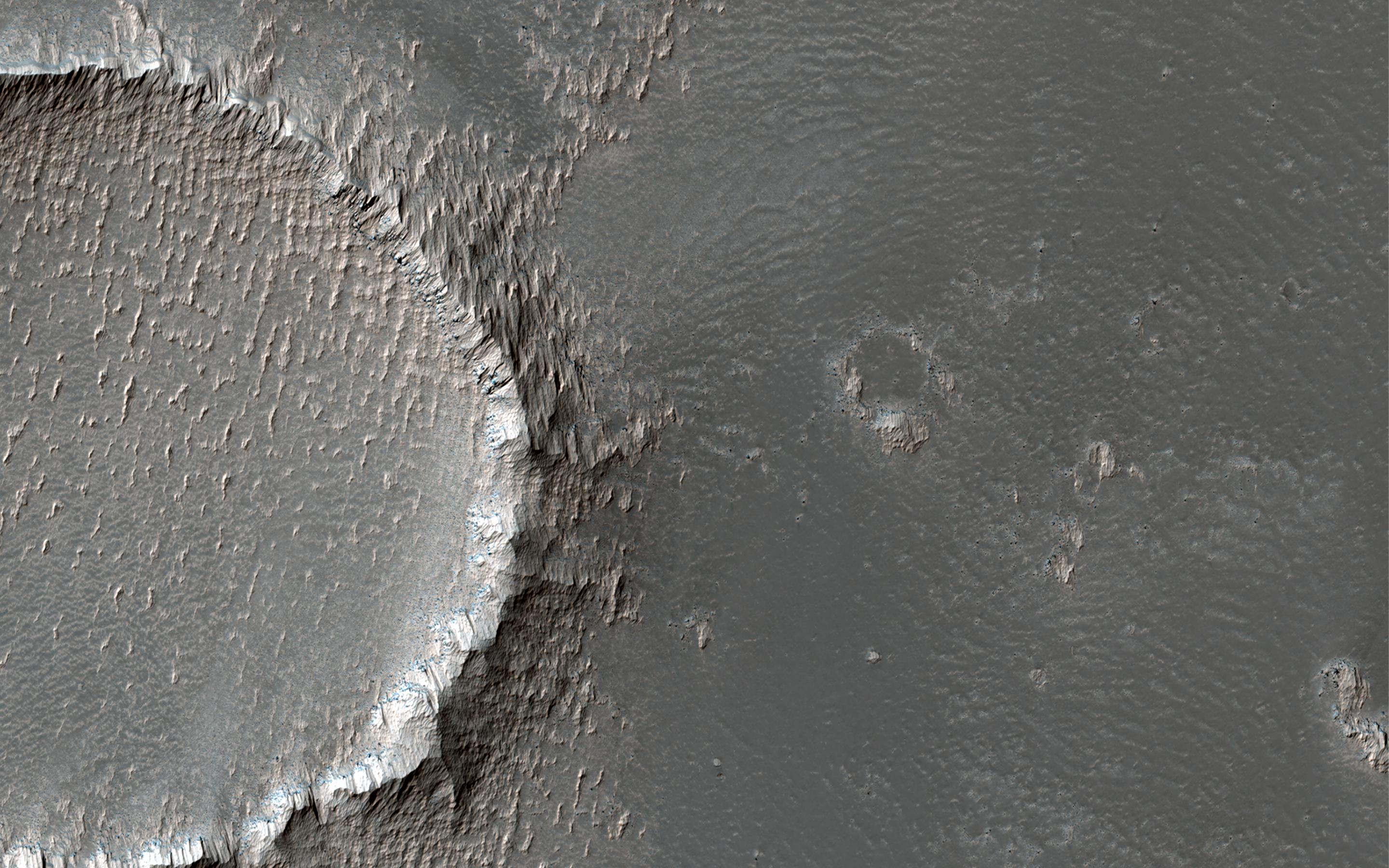
2024-04-29 | Mars |
Mars Reconnaissance Orbiter (MRO) |
HiRISE |
2880x1800x3 |
|
|||||
|
|
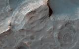
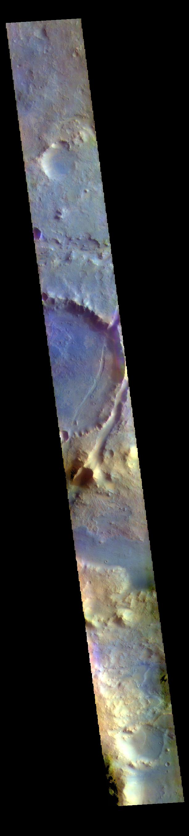
2024-04-29 | Mars |
Mars Reconnaissance Orbiter (MRO) |
HiRISE |
2880x1800x3 |
|
|||||
|
|
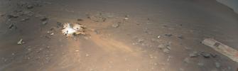
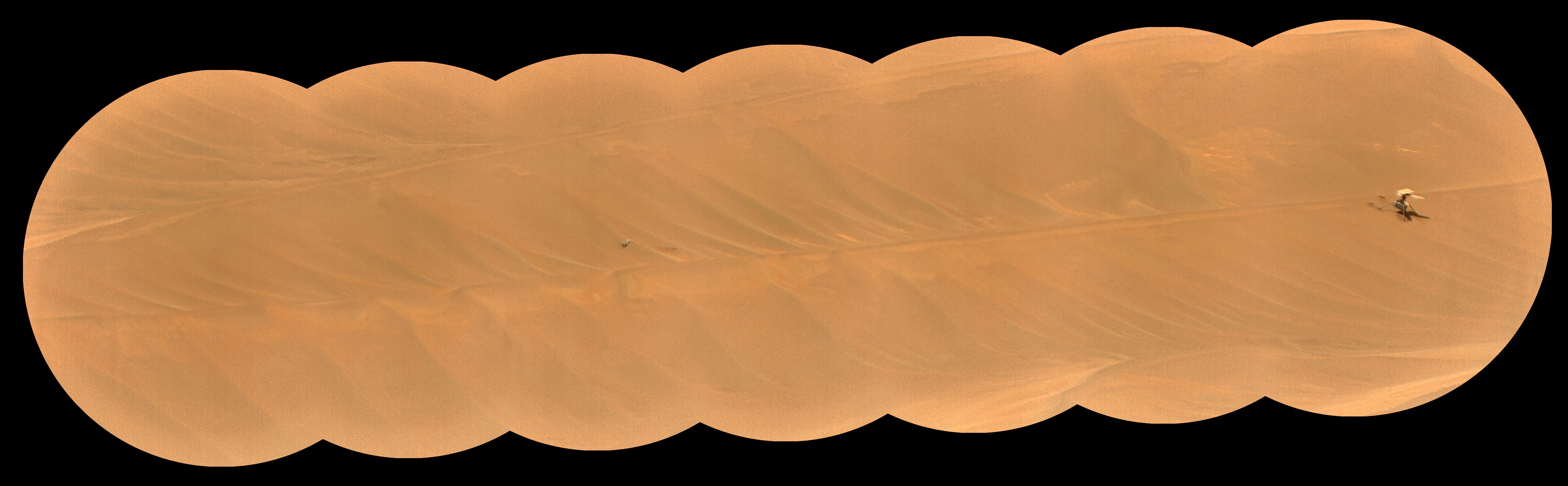
2024-03-29 | Mars |
Mars Helicopter |
4000x2250x3 | |
|
|||||
|
|
2024-03-29 | Mars |
Mars Helicopter |
628x469x3 | |
|
|||||
|
|
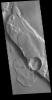
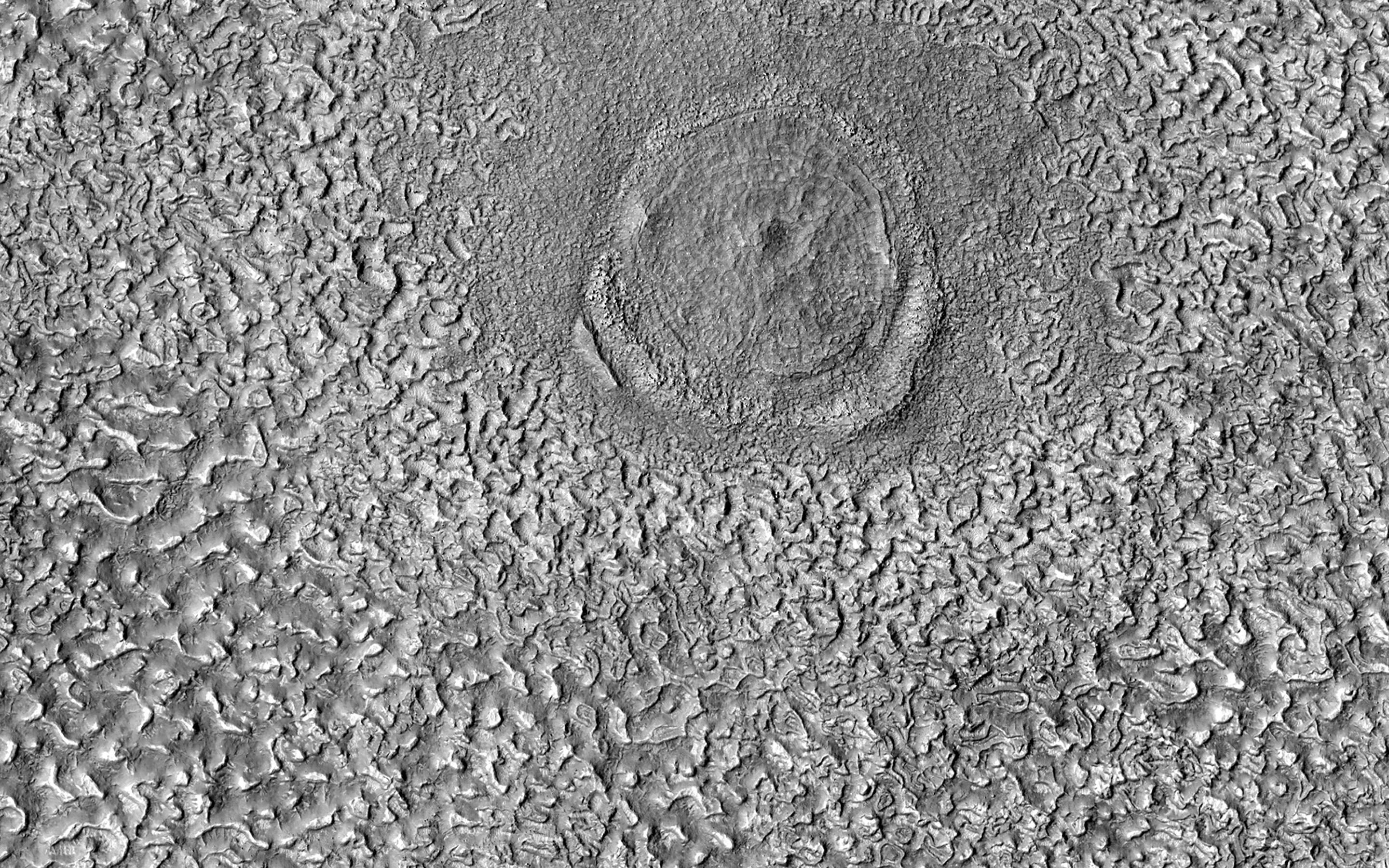
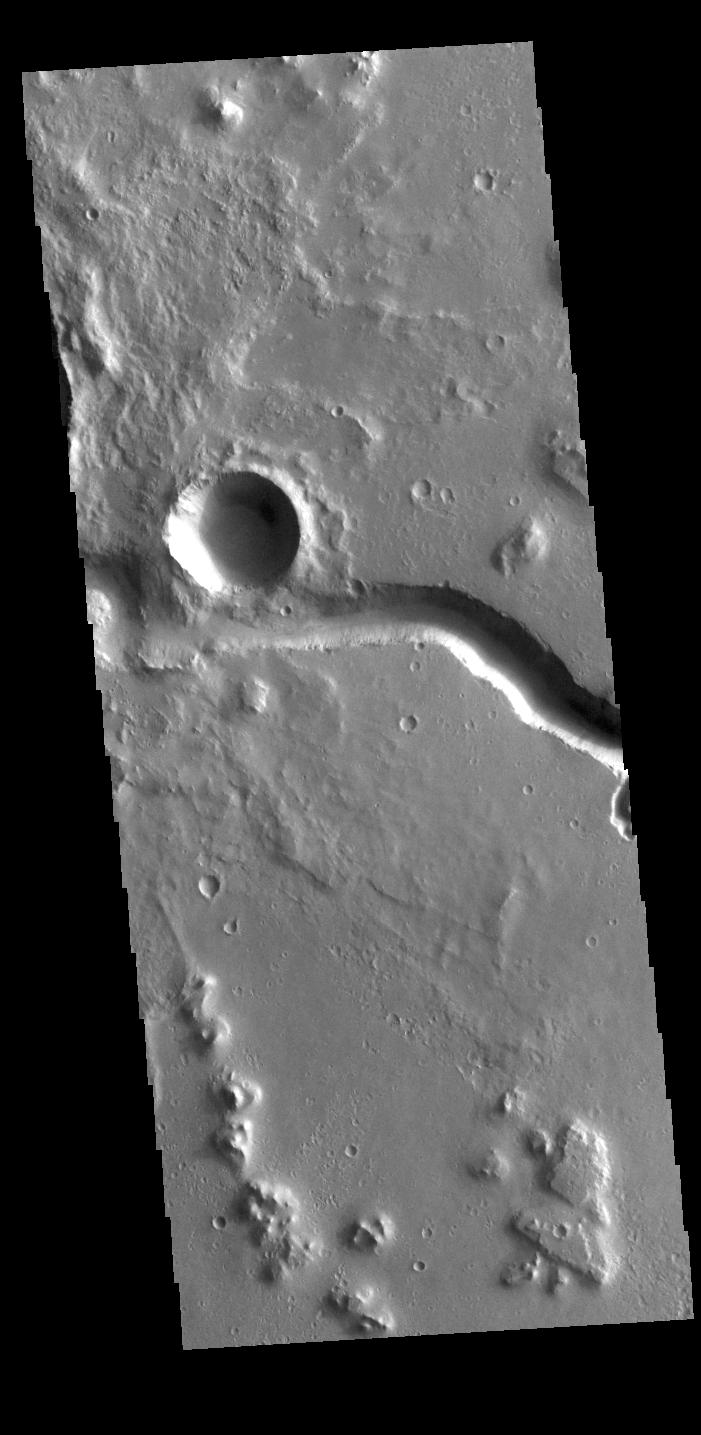
2024-03-26 | Mars |
Mars Reconnaissance Orbiter (MRO) |
HiRISE |
2880x1800x3 |
|
|||||
|
|
2024-03-26 | Mars |
Mars Reconnaissance Orbiter (MRO) |
HiRISE |
2880x1800x3 |
|
|||||
|
|
2024-03-26 | Mars |
Mars Reconnaissance Orbiter (MRO) |
HiRISE |
2880x1800x3 |
|
|||||
|
|
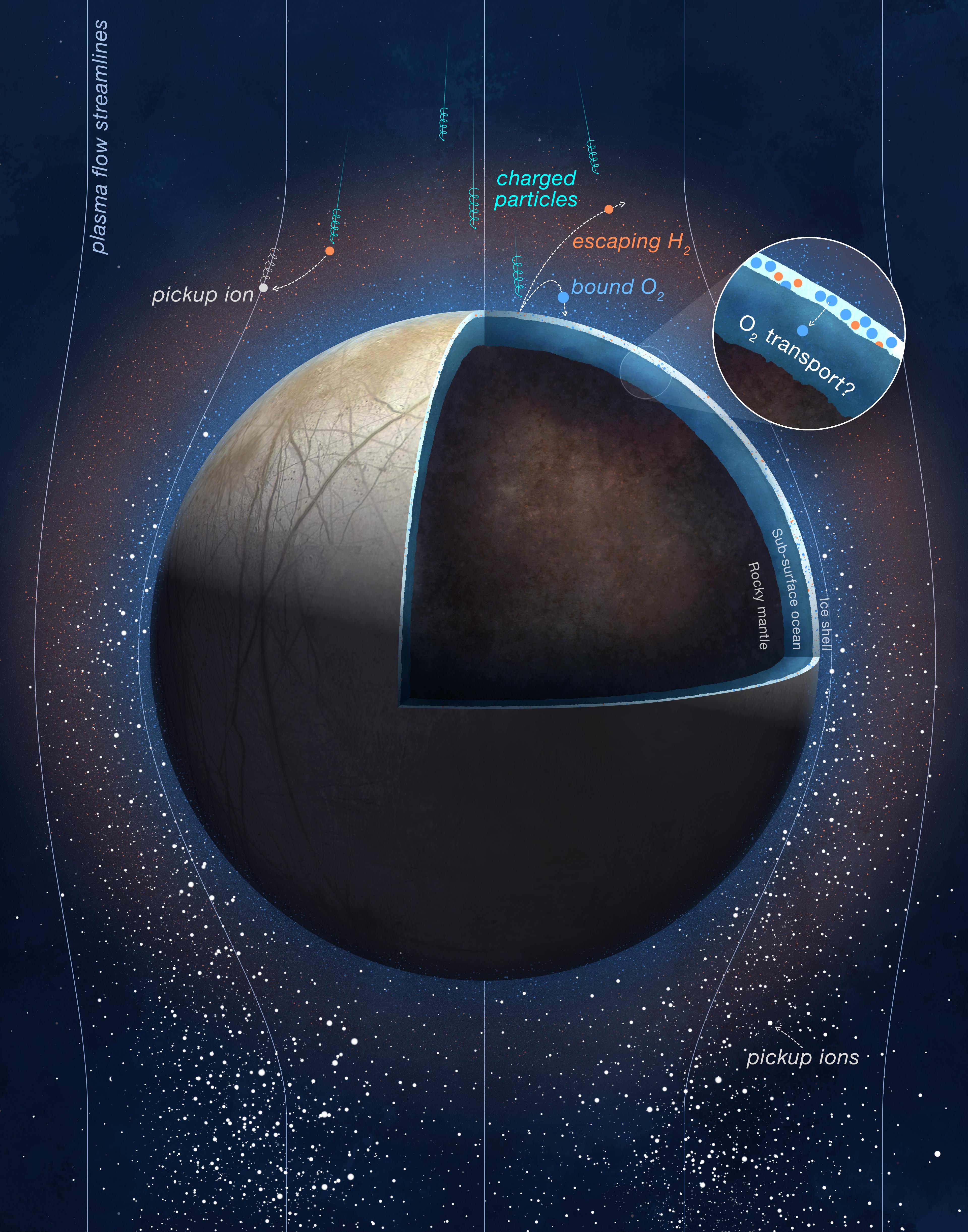
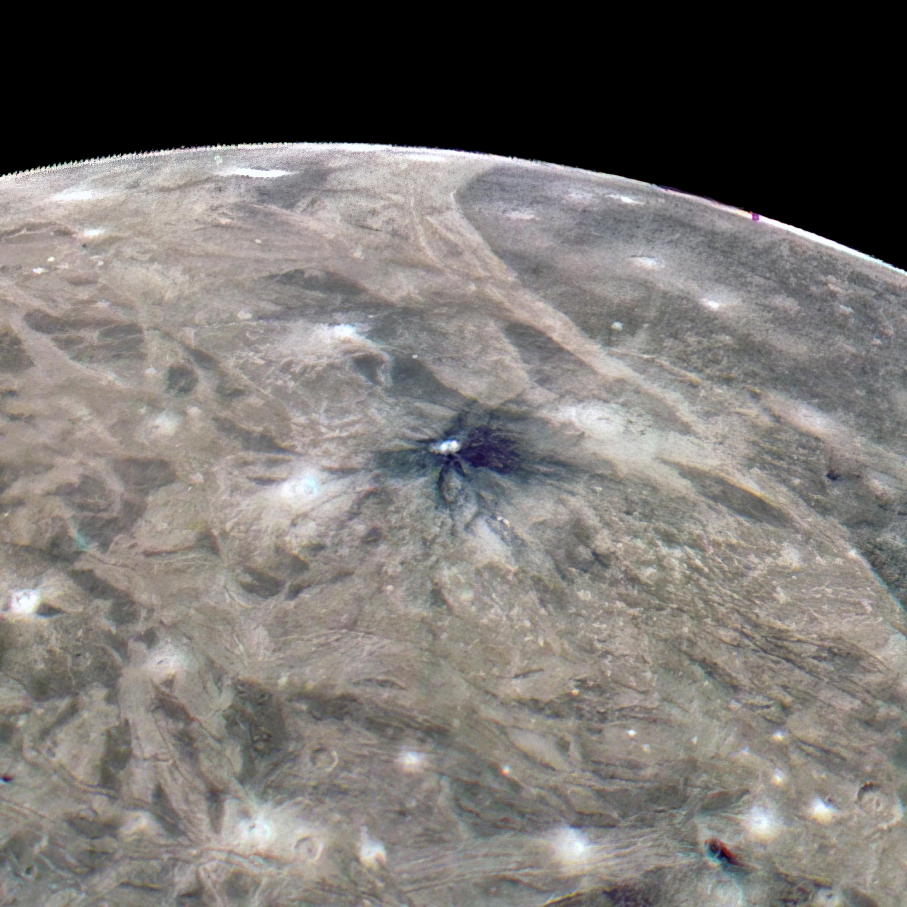
2024-03-04 | Europa |
Juno |
3840x4883x3 | |

|
|||||
|
|
2024-02-27 | Mars |
Mars 2020 Rover |
SuperCam |
7371x2284x3 |
|
|||||
|
|
2024-01-31 | Mars |
Mars Reconnaissance Orbiter (MRO) |
HiRISE |
2880x1800x3 |
|
|||||
|
|
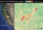
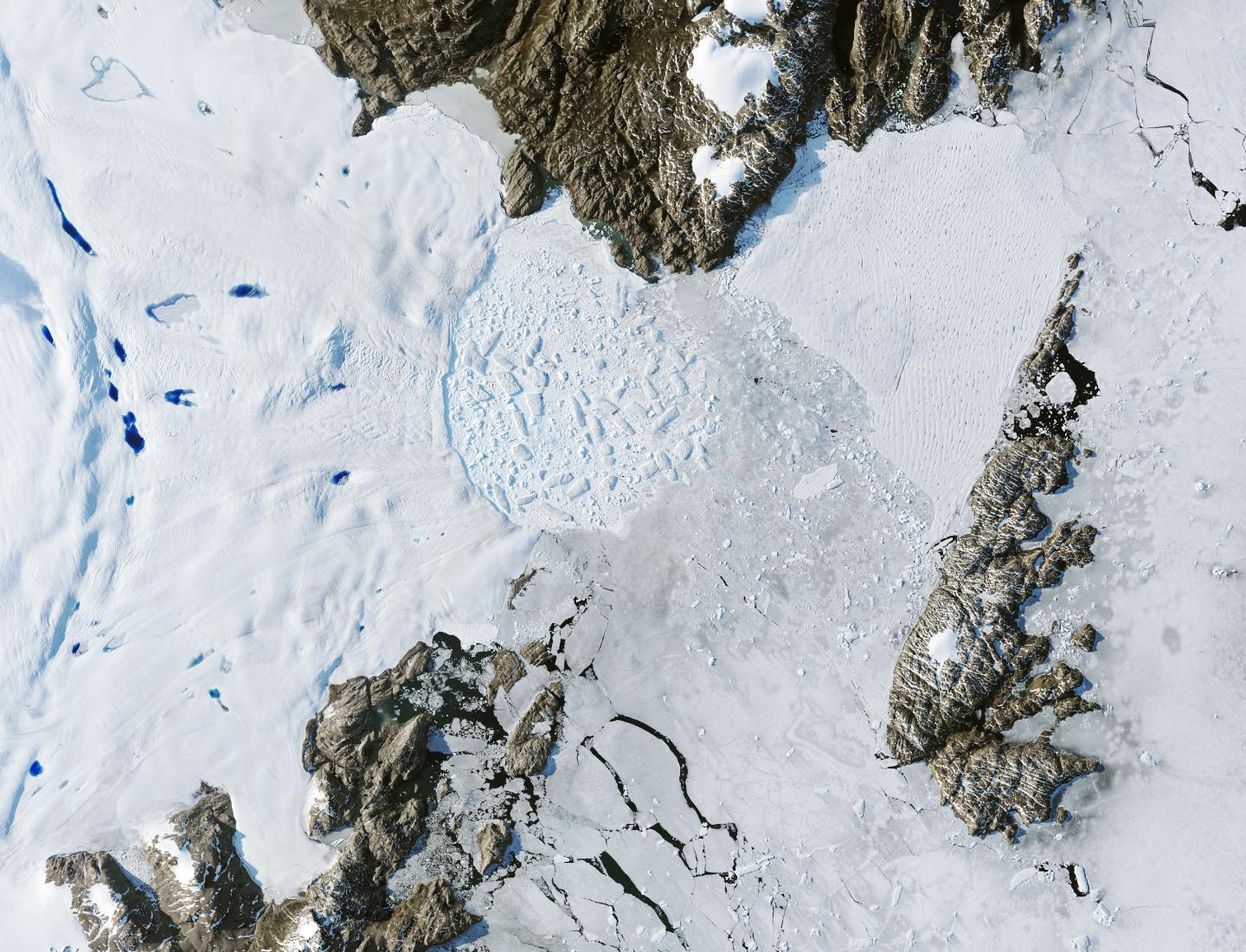
2024-01-17 | Earth |
Landsat |
1440x1100x3 | |

|
|||||
|
|
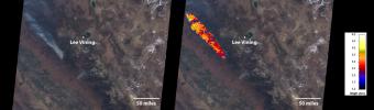
2024-01-17 | Earth |
Landsat |
1440x960x3 | |

|
|||||
|
|
2023-12-19 | Mars |
Mars Reconnaissance Orbiter (MRO) |
HiRISE |
2880x1800x3 |
|
|||||
|
|
2023-12-18 | Mars |
2001 Mars Odyssey |
THEMIS |
715x1446x1 |
|
|
|||||
|
|
2023-12-11 | Earth |
Earth Surface Mineral Dust Source Investigation (EMIT) |
EMIT |
5836x2174x3 |
|
|||||
|
|
2023-12-06 | Mars |
2001 Mars Odyssey |
THEMIS |
697x1426x1 |
|
|
|||||
|
|
2023-12-01 | Mars |
2001 Mars Odyssey |
THEMIS |
709x1441x1 |
|
|
|||||
|
|
2023-11-29 | Mars |
2001 Mars Odyssey |
THEMIS |
704x1437x1 |
|
|
|||||
|
|
2023-10-26 | Mars | 2852x1169x3 | ||
|
|||||
|
|
2023-10-26 | Mars | 2221x1288x3 | ||

|
|||||
|
|
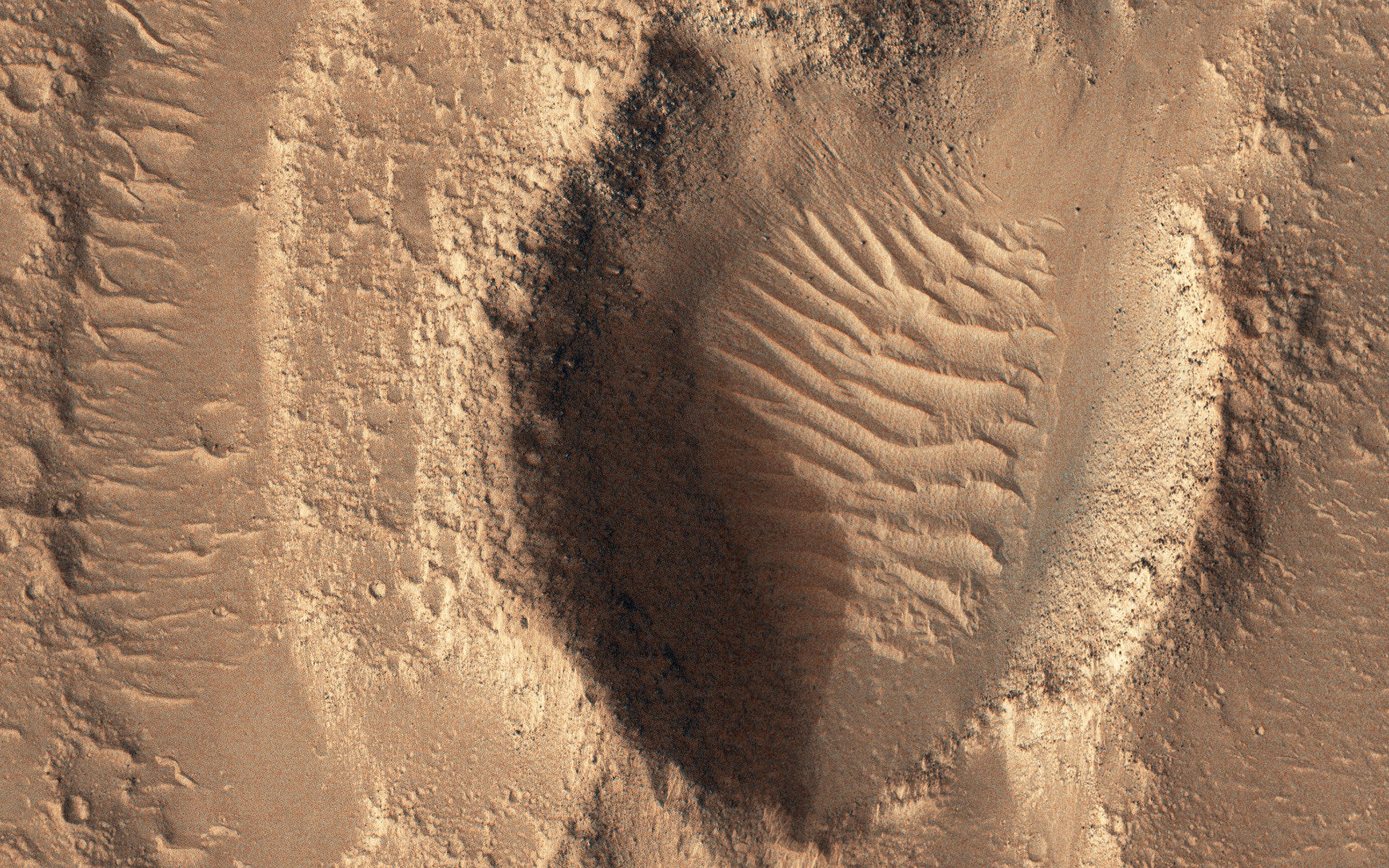
2023-10-26 | Mars |
Mars Reconnaissance Orbiter (MRO) |
HiRISE |
2105x1139x3 |
|
|||||
|
|
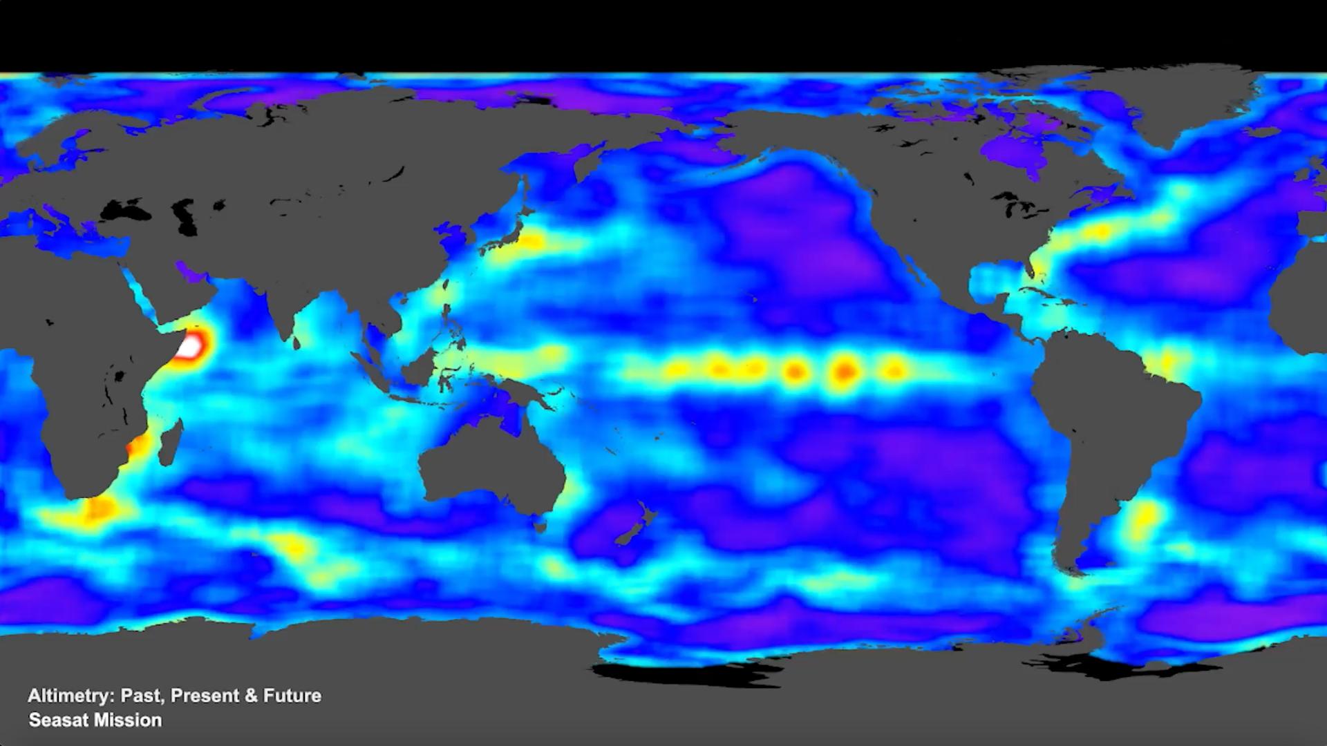
2023-10-18 | Earth |
Sentinel-6/Jason-CS |
1586x783x3 | |
|
|||||
|
|
2023-10-10 | Mars |
2001 Mars Odyssey |
THEMIS |
614x2706x1 |
|
|
|||||
|
|
2023-10-03 | Mars |
2001 Mars Odyssey |
THEMIS |
716x1457x3 |
|
|
|||||
|
|
2023-10-02 | Mars |
2001 Mars Odyssey |
THEMIS |
615x2709x3 |
|
|
|||||
|
|
2023-09-25 | Mars |
2001 Mars Odyssey |
THEMIS |
701x1437x3 |
|
|
|||||
|
|
2023-09-19 | Mars |
2001 Mars Odyssey |
THEMIS |
614x2706x3 |
|
|
|||||
|
|
2023-08-14 | Earth |
Polar Radiant Energy in the Far-InfraRed Experiment (PREFIRE) |
1920x1080x3 | |
|
|||||
|
|
2023-08-04 | Mars |
2001 Mars Odyssey |
THEMIS |
701x1435x1 |
|
|
|||||
|
|
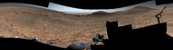
2023-08-03 | Mars |
Mars Science Laboratory (MSL) |
Navcam (MSL) |
7696x1503x1 |
|
|||||
|
|
2023-08-03 | Mars |
Mars Reconnaissance Orbiter (MRO) |
HiRISE |
3840x2160x3 |
|
|||||
|
|
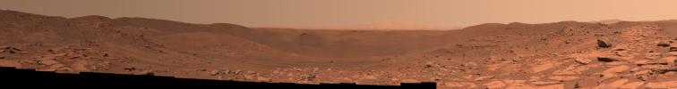
2023-08-03 | Mars |
Mars Science Laboratory (MSL) |
Mastcam |
9000x2641x3 |
|
|||||
|
|
2023-07-27 | Mars |
2001 Mars Odyssey |
THEMIS |
713x1455x1 |
|
|
|||||
|
|
2023-06-27 | Earth |
Surface Water and Ocean Topography (SWOT) |
1125x1122x3 | |
|
|||||
|
|
2023-05-24 | Mars |
2001 Mars Odyssey |
THEMIS |
612x2701x1 |
|
|
|||||
|
|
2023-05-18 | Mars |
Mars 2020 Rover |
Mastcam-Z |
9000x1191x3 |
|
|||||
|
|
2023-05-08 | Mars |
2001 Mars Odyssey |
THEMIS |
616x2697x1 |
|
|
|||||
|
|
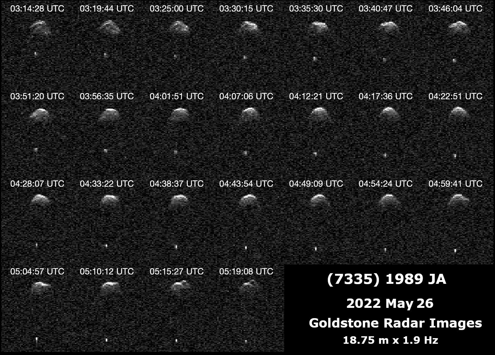
2023-04-26 | Asteroid |
Deep Space Network (DSN) |
Deep Space Network |
2922x1411x1 |
|
|||||
|
|
2023-04-18 | Mars |
2001 Mars Odyssey |
THEMIS |
614x2701x1 |
|
|
|||||
|
|
2023-04-13 | Mars |
Mars Reconnaissance Orbiter (MRO) |
HiRISE |
2880x1800x3 |

|
|||||
|
|
2023-04-13 | Mars |
Mars Reconnaissance Orbiter (MRO) |
HiRISE |
2880x1800x3 |

|
|||||
|
|
2023-04-13 | Mars |
Mars Reconnaissance Orbiter (MRO) |
HiRISE |
2880x1800x3 |
|
|||||
|
|
2023-04-05 | Earth |
MODIS |
MODIS |
2550x3300x3 |
|
|||||
|
|
2023-04-05 | Earth |
MODIS |
MODIS |
4579x2083x3 |
|
|||||
|
|
2023-03-13 | Mars |
2001 Mars Odyssey |
THEMIS |
663x1423x1 |
|
|
|||||
|
|
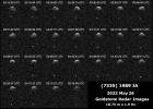
2023-02-17 | Asteroid |
Deep Space Network (DSN) |
Deep Space Network |
3085x2437x1 |
|
|||||
|
|
2023-01-31 | Mars |
Mars Reconnaissance Orbiter (MRO) |
HiRISE |
2880x1800x3 |
|
|||||
|
|
2023-01-31 | Mars |
Mars Reconnaissance Orbiter (MRO) |
HiRISE |
2880x1800x3 |

|
|||||
|
|
2022-12-28 | Mars |
2001 Mars Odyssey |
THEMIS |
661x1431x1 |
|
|
|||||
|
|
2022-12-09 | Earth |
ARIA |
SAR |
3203x2451x3 |
|
|||||
|
|
2022-11-16 | Mars |
2001 Mars Odyssey |
THEMIS |
668x1425x1 |
|
|
|||||
|
|
2022-11-14 | Mars |
2001 Mars Odyssey |
THEMIS |
1319x2683x1 |
|
|
|||||
|
|
2022-11-14 | Earth |
Surface Water and Ocean Topography (SWOT) |
1920x1080x3 | |
|
|||||
|
|
2022-11-10 | Mars |
2001 Mars Odyssey |
THEMIS |
670x1427x1 |
|
|
|||||
|
|
2022-11-03 | Mars |
2001 Mars Odyssey |
THEMIS |
601x2714x1 |
|
|
|||||
|
|
2022-10-27 | Mars |
Mars Reconnaissance Orbiter (MRO) |
CTX |
3351x3083x1 |
|
|||||
|
|
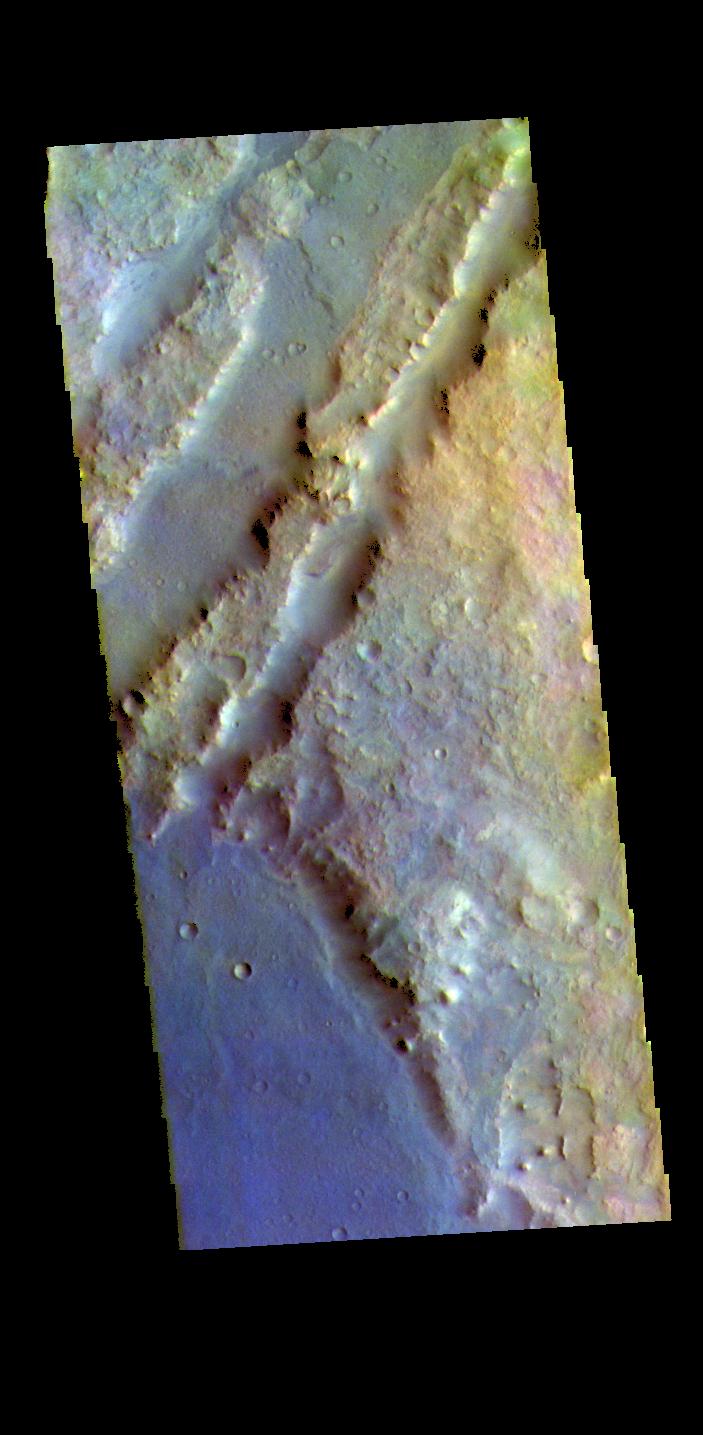
2022-10-27 | Mars |
Mars Reconnaissance Orbiter (MRO) |
HiRISE |
1200x674x3 |
|
|||||
|
|
2022-10-27 | Mars |
Mars Reconnaissance Orbiter (MRO) |
MARCI |
1920x1080x1 |

|
|||||
|
|
2022-10-27 | Mars |
Mars Reconnaissance Orbiter (MRO) |
CTX |
5448x3523x1 |

|
|||||
|
|
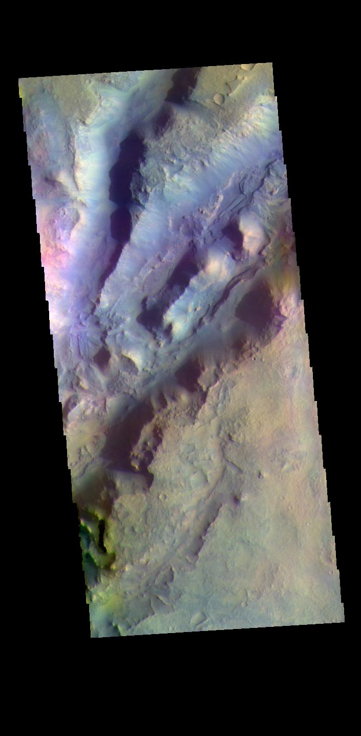
2022-10-27 | Mars |
Mars Reconnaissance Orbiter (MRO) |
HiRISE |
1920x1080x3 |
|
|||||
|
|
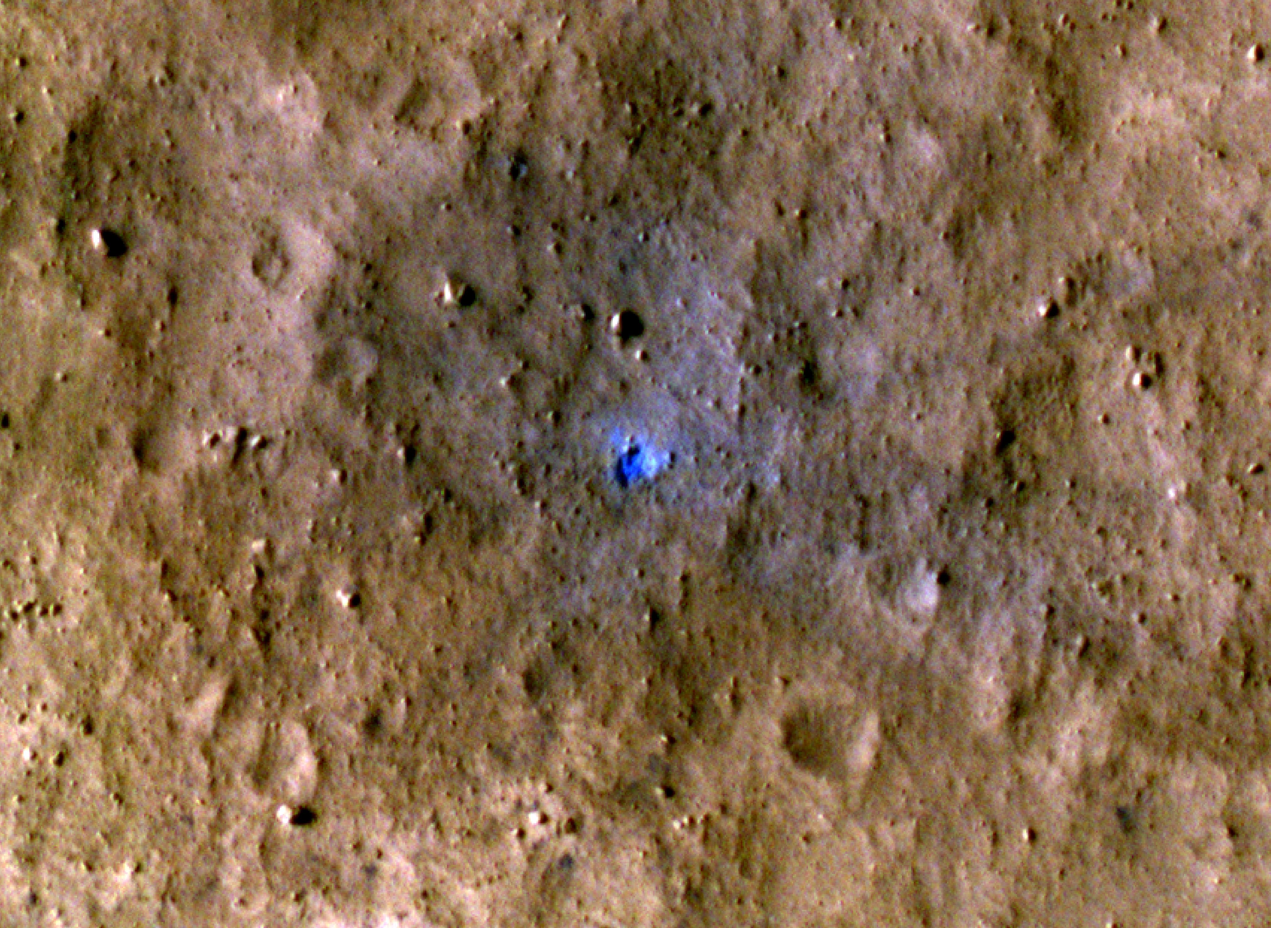
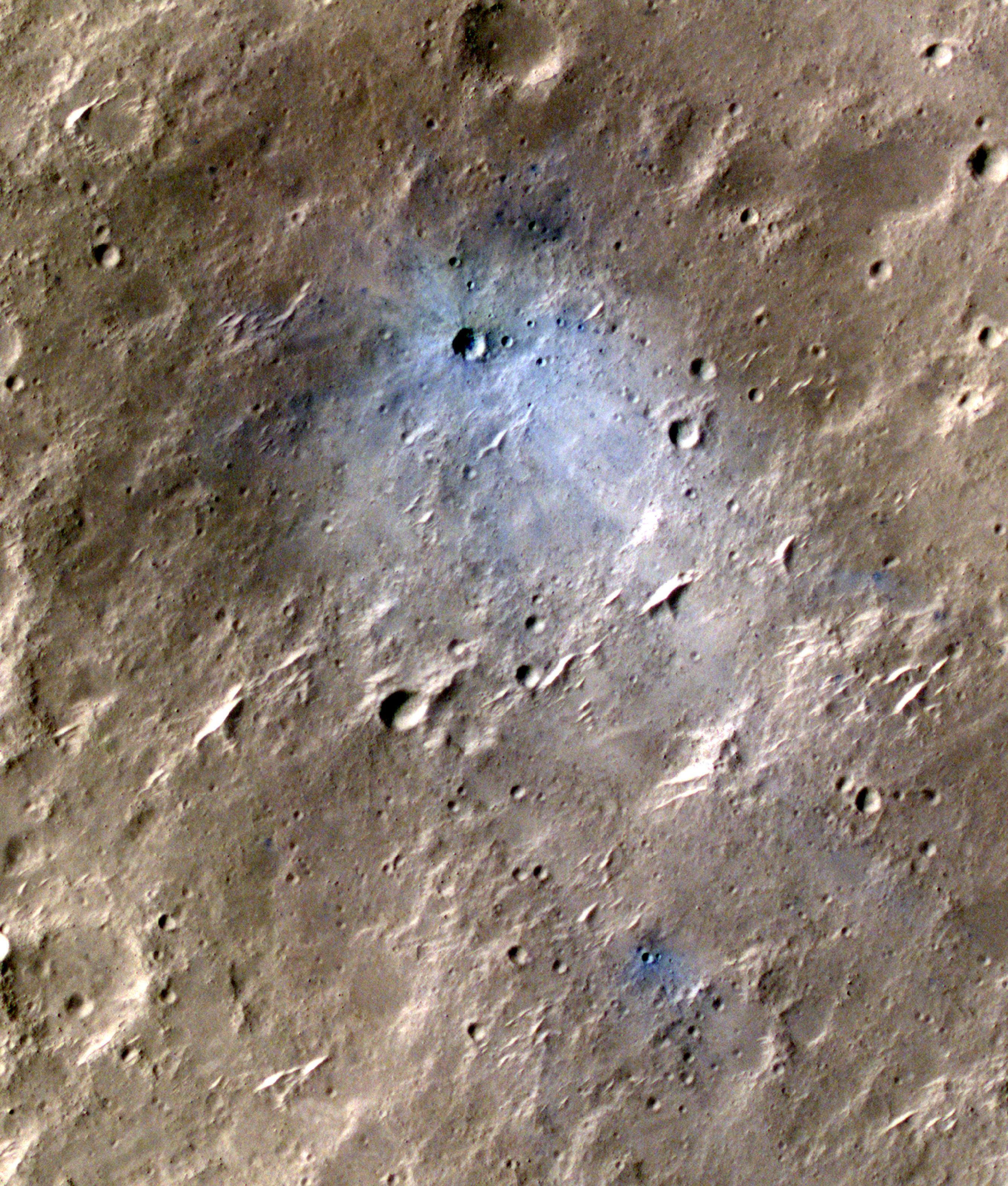
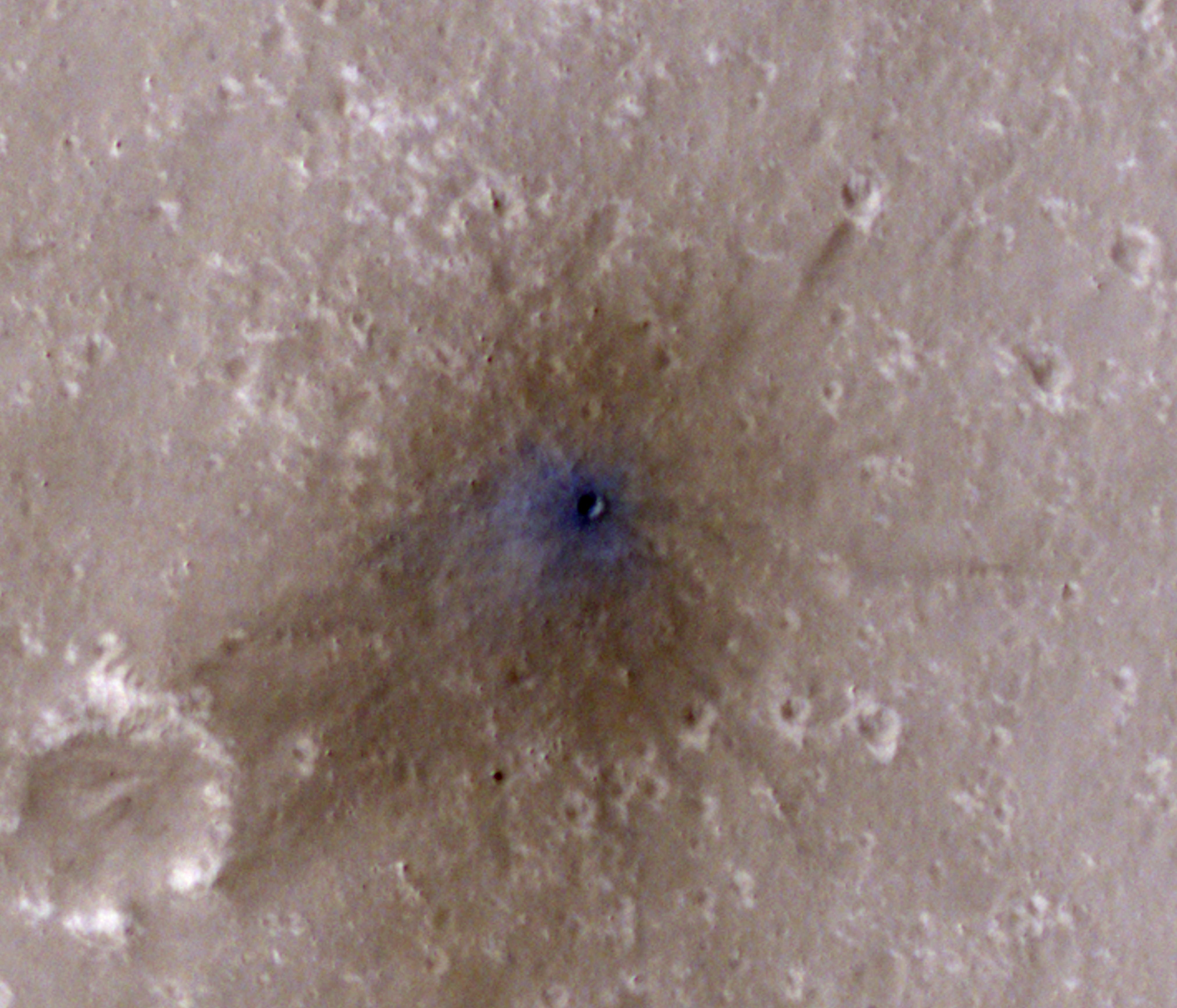
2022-10-27 | Mars |
InSight |
976x942x3 | |

|
|||||
|
|
2022-10-24 | Mars |
Mars Reconnaissance Orbiter (MRO) |
HiRISE |
2880x1800x3 |

|
|||||
|
|
2022-10-24 | Mars |
Mars Reconnaissance Orbiter (MRO) |
HiRISE |
2880x1800x3 |
|
|||||
|
|
2022-10-20 |
Simplified High Impact Energy Landing Device (SHIELD) |
1920x1080x3 | ||
|
|||||
|
|
2022-10-20 |
Simplified High Impact Energy Landing Device (SHIELD) |
1920x1080x3 | ||
|
|||||
|
|
2022-10-07 | Mars |
2001 Mars Odyssey |
THEMIS |
599x2720x1 |
|
|
|||||
|
|
2022-09-29 | Europa |
Juno |
JunoCam |
3037x730x1 |

|
|||||
|
|
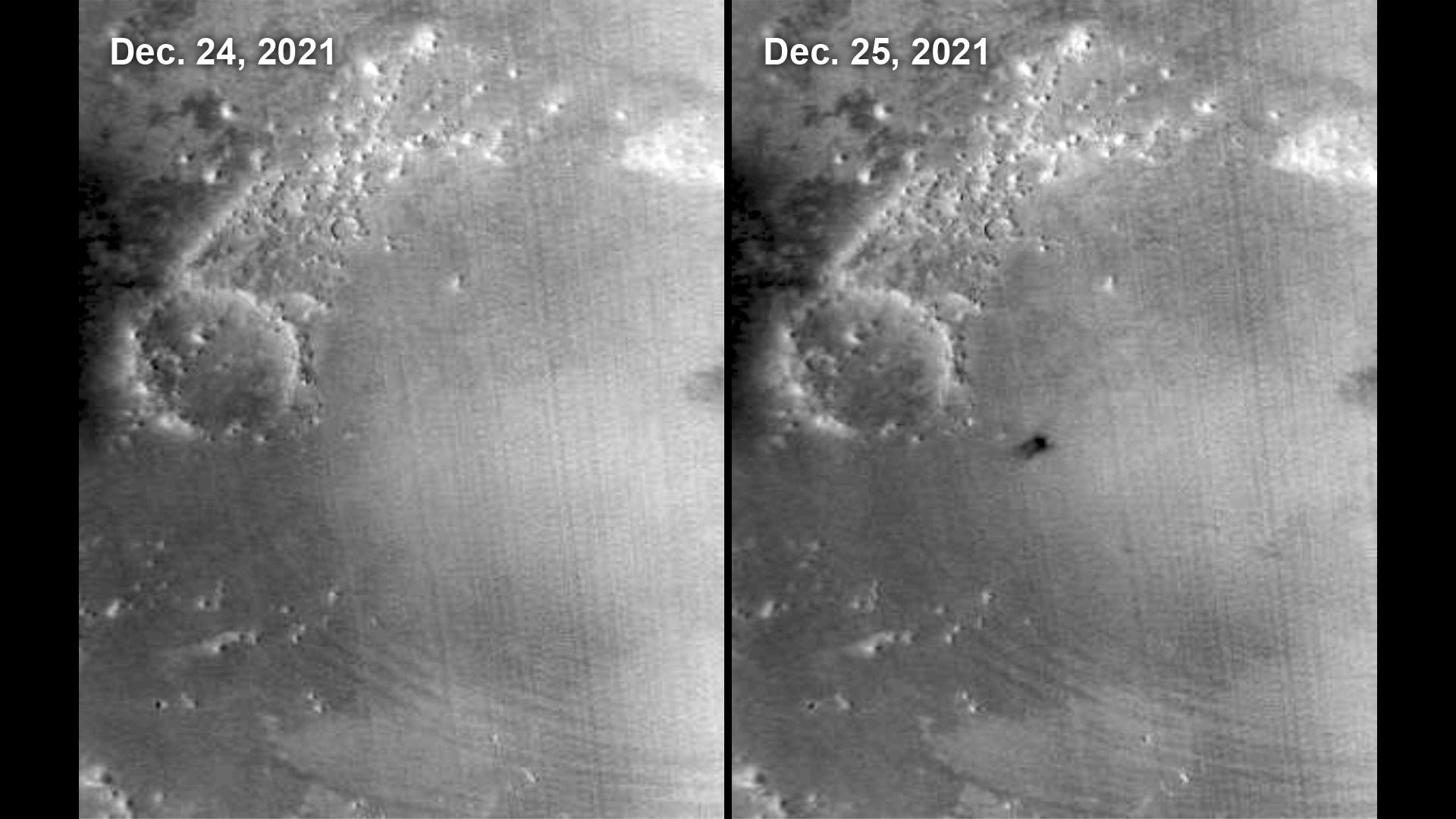
2022-09-22 | Asteroid |
Double Asteroid Redirection Test (DART) |
5333x3000x3 | |

|
|||||
|
|
2022-09-21 | Mars |
2001 Mars Odyssey |
THEMIS |
673x1424x1 |
|
|
|||||
|
|
2022-09-19 | Mars |
Mars Reconnaissance Orbiter (MRO) |
HiRISE |
4047x2956x3 |
|
|||||
|
|
2022-09-19 | Mars |
Mars Reconnaissance Orbiter (MRO) |
HiRISE |
2675x3147x3 |
|
|||||
|
|
2022-09-19 | Mars |
Mars Reconnaissance Orbiter (MRO) |
HiRISE |
4047x3466x3 |
|
|||||
|
|
2022-09-19 | Mars |
Mars Reconnaissance Orbiter (MRO) |
HiRISE |
4994x3341x3 |
|
|||||
|
|
2022-08-31 | Mars |
Mars Reconnaissance Orbiter (MRO) |
HiRISE |
2880x1800x3 |
|
|||||
|
|
2022-08-31 | Mars |
Mars Reconnaissance Orbiter (MRO) |
HiRISE |
2880x1800x3 |
|
|||||
|
|
2022-08-04 | Earth |
ECOSTRESS |
3507x2480x3 | |
|
|||||
|
|
2022-07-26 | Earth |
Terra |
MISR |
3500x1029x3 |
|
|||||
|
|
2022-07-14 | Mars |
2001 Mars Odyssey |
THEMIS |
712x1445x1 |
|
|
|||||
|
|
2022-06-29 | Asteroid |
Deep Space Network (DSN) |
Deep Space Network |
1587x1137x1 |
|
|||||
|
|
2022-06-27 | Mars |
Mars Reconnaissance Orbiter (MRO) |
HiRISE |
2880x1800x3 |

|
|||||
|
|
2022-06-24 | Mars |
2001 Mars Odyssey |
THEMIS |
705x1437x3 |
|
|
|||||
|
|
2022-06-22 | Mars |
2001 Mars Odyssey |
THEMIS |
703x1435x3 |
|
|
|||||
|
|
2022-05-18 | Mars |
2001 Mars Odyssey |
THEMIS |
705x1437x1 |
|
|
|||||
|
|
2022-04-29 | Mars |
Mars Reconnaissance Orbiter (MRO) |
HiRISE |
2880x1800x3 |
|
|||||
|
|
2022-04-29 | Mars |
Mars Reconnaissance Orbiter (MRO) |
HiRISE |
2880x1800x3 |
|
|||||
|
|
2022-04-27 | Mars |
Mars Helicopter |
3884x1161x3 | |
|
|||||
|
|
2022-04-20 | Mars |
Mars 2020 Rover |
Mastcam-Z |
720x720x3 |

|
|||||
|
|
2022-04-15 | Mars |
2001 Mars Odyssey |
THEMIS |
694x1429x1 |
|
|
|||||
|
|
2022-04-13 | Mars |
2001 Mars Odyssey |
THEMIS |
611x2706x1 |
|
|
|||||
|
|
2022-03-18 | Mars |
Mars Reconnaissance Orbiter (MRO) |
HiRISE |
2880x1800x3 |

|
|||||
|
|
2022-03-15 | Asteroid | 1440x830x3 | ||
|
|||||
|
|
2022-03-10 | Mars |
2001 Mars Odyssey |
THEMIS |
707x1440x1 |
|
|
|||||
|
|
2022-03-08 | Mars |
2001 Mars Odyssey |
THEMIS |
1388x2647x1 |
|
|||||
|
|
2022-02-24 | Mars |
Mars Reconnaissance Orbiter (MRO) |
HiRISE |
2880x1800x3 |
|
|||||
|
|
2022-02-22 | Jupiter |
Juno |
JunoCam |
3012x3012x3 |
|
|||||
|
|
2022-02-10 | Mars |
2001 Mars Odyssey |
THEMIS |
703x1435x1 |
|
|
|||||
|
|
2022-02-02 | Mars |
2001 Mars Odyssey |
THEMIS |
695x1427x1 |
|
|
|||||
|
|
2022-01-27 | Mars |
2001 Mars Odyssey |
THEMIS |
707x1443x1 |
|
|
|||||
|
|
2022-01-26 | Mars |
Mars Reconnaissance Orbiter (MRO) |
CTX |
2100x1306x1 |
|
|||||
|
|
2022-01-24 | Mars |
2001 Mars Odyssey |
THEMIS |
710x1445x1 |
|
|
|||||
 |
 |
|
|
|
|
|
|
|
|

|
|
| 1-100 | 101-200 | 201-300 | 301-400 | 401-500 | 501-600 | 601-700 | 701-800 | 801-900 | 901-1000 |
| Currently displaying images: 1 - 100 of 3151 |