|
Your search criteria found 3151 images Feature Name |
| My List |
Addition Date | Target |
Mission
|
Instrument | Size |

|
2020-07-22 | Mars |
2001 Mars Odyssey |
THEMIS |
1368x2650x1 |
|
|||||
|
|
2020-07-30 | Mars |
2001 Mars Odyssey |
THEMIS |
1400x2649x1 |
|
|||||
|
|
2020-09-29 | Mars |
2001 Mars Odyssey |
THEMIS |
1220x5289x1 |
|
|
|||||
|
|
2020-10-07 | Mars |
2001 Mars Odyssey |
THEMIS |
678x1427x1 |
|
|
|||||
|
|
2020-11-06 | Mars |
2001 Mars Odyssey |
THEMIS |
599x2718x1 |
|
|
|||||
|
|
2020-11-26 | Mars |
2001 Mars Odyssey |
THEMIS |
672x1435x1 |
|
|
|||||
|
|
2021-01-06 | Mars |
2001 Mars Odyssey |
THEMIS |
1325x2646x1 |
|
|||||
|
|
2021-04-27 | Mars |
2001 Mars Odyssey |
THEMIS |
614x2702x3 |
|
|
|||||
|
|
2021-05-26 | Mars |
2001 Mars Odyssey |
THEMIS |
709x1442x3 |
|
|
|||||
|
|
2021-05-27 | Mars |
2001 Mars Odyssey |
THEMIS |
612x2708x3 |
|
|
|||||
|
|
2021-06-11 | Mars |
2001 Mars Odyssey |
THEMIS |
706x1440x3 |
|
|
|||||
|
|
2021-08-11 | Mars |
2001 Mars Odyssey |
THEMIS |
614x2703x1 |
|
|
|||||
|
|
2021-09-01 | Mars |
2001 Mars Odyssey |
THEMIS |
705x1440x1 |
|
|
|||||
|
|
2021-09-27 | Mars |
2001 Mars Odyssey |
THEMIS |
610x2716x1 |
|
|
|||||
|
|
2021-09-29 | Mars |
2001 Mars Odyssey |
THEMIS |
602x2717x1 |
|
|
|||||
|
|
2021-10-05 | Mars |
2001 Mars Odyssey |
THEMIS |
706x1441x1 |
|
|
|||||
|
|
2021-11-19 | Mars |
2001 Mars Odyssey |
THEMIS |
704x1445x1 |
|
|
|||||
|
|
2021-11-24 | Mars |
2001 Mars Odyssey |
THEMIS |
1396x2660x1 |
|
|||||
|
|
2021-12-29 | Mars |
2001 Mars Odyssey |
THEMIS |
611x2693x3 |
|
|
|||||
|
|
2022-01-24 | Mars |
2001 Mars Odyssey |
THEMIS |
710x1445x1 |
|
|
|||||
|
|
2022-01-27 | Mars |
2001 Mars Odyssey |
THEMIS |
707x1443x1 |
|
|
|||||
|
|
2022-02-02 | Mars |
2001 Mars Odyssey |
THEMIS |
695x1427x1 |
|
|
|||||
|
|
2022-02-10 | Mars |
2001 Mars Odyssey |
THEMIS |
703x1435x1 |
|
|
|||||
|
|
2022-03-08 | Mars |
2001 Mars Odyssey |
THEMIS |
1388x2647x1 |
|
|||||
|
|
2022-03-10 | Mars |
2001 Mars Odyssey |
THEMIS |
707x1440x1 |
|
|
|||||
|
|
2022-04-13 | Mars |
2001 Mars Odyssey |
THEMIS |
611x2706x1 |
|
|
|||||
|
|
2022-04-15 | Mars |
2001 Mars Odyssey |
THEMIS |
694x1429x1 |
|
|
|||||
|
|
2022-05-18 | Mars |
2001 Mars Odyssey |
THEMIS |
705x1437x1 |
|
|
|||||
|
|
2022-06-22 | Mars |
2001 Mars Odyssey |
THEMIS |
703x1435x3 |
|
|
|||||
|
|
2022-06-24 | Mars |
2001 Mars Odyssey |
THEMIS |
705x1437x3 |
|
|
|||||
|
|
2022-07-14 | Mars |
2001 Mars Odyssey |
THEMIS |
712x1445x1 |
|
|
|||||
|
|
2022-09-21 | Mars |
2001 Mars Odyssey |
THEMIS |
673x1424x1 |
|
|
|||||
|
|
2022-10-07 | Mars |
2001 Mars Odyssey |
THEMIS |
599x2720x1 |
|
|
|||||
|
|
2022-11-03 | Mars |
2001 Mars Odyssey |
THEMIS |
601x2714x1 |
|
|
|||||
|
|
2022-11-10 | Mars |
2001 Mars Odyssey |
THEMIS |
670x1427x1 |
|
|
|||||
|
|
2022-11-14 | Mars |
2001 Mars Odyssey |
THEMIS |
1319x2683x1 |
|
|
|||||
|
|
2022-11-16 | Mars |
2001 Mars Odyssey |
THEMIS |
668x1425x1 |
|
|
|||||
|
|
2022-12-28 | Mars |
2001 Mars Odyssey |
THEMIS |
661x1431x1 |
|
|
|||||
|
|
2023-03-13 | Mars |
2001 Mars Odyssey |
THEMIS |
663x1423x1 |
|
|
|||||
|
|
2023-04-18 | Mars |
2001 Mars Odyssey |
THEMIS |
614x2701x1 |
|
|
|||||
|
|
2023-05-08 | Mars |
2001 Mars Odyssey |
THEMIS |
616x2697x1 |
|
|
|||||
|
|
2023-05-24 | Mars |
2001 Mars Odyssey |
THEMIS |
612x2701x1 |
|
|
|||||
|
|
2023-07-27 | Mars |
2001 Mars Odyssey |
THEMIS |
713x1455x1 |
|
|
|||||
|
|
2023-08-04 | Mars |
2001 Mars Odyssey |
THEMIS |
701x1435x1 |
|
|
|||||
|
|
2023-09-19 | Mars |
2001 Mars Odyssey |
THEMIS |
614x2706x3 |
|
|
|||||
|
|
2023-09-25 | Mars |
2001 Mars Odyssey |
THEMIS |
701x1437x3 |
|
|
|||||
|
|
2023-10-02 | Mars |
2001 Mars Odyssey |
THEMIS |
615x2709x3 |
|
|
|||||
|
|
2023-10-03 | Mars |
2001 Mars Odyssey |
THEMIS |
716x1457x3 |
|
|
|||||
|
|
2023-10-10 | Mars |
2001 Mars Odyssey |
THEMIS |
614x2706x1 |
|
|
|||||
|
|
2023-11-29 | Mars |
2001 Mars Odyssey |
THEMIS |
704x1437x1 |
|
|
|||||
|
|
2023-12-01 | Mars |
2001 Mars Odyssey |
THEMIS |
709x1441x1 |
|
|
|||||
|
|
2023-12-06 | Mars |
2001 Mars Odyssey |
THEMIS |
697x1426x1 |
|
|
|||||
|
|
2023-12-18 | Mars |
2001 Mars Odyssey |
THEMIS |
715x1446x1 |
|
|
|||||
|
|
2008-09-22 | Mars |
2001 Mars Odyssey Mars Exploration Rover (MER) |
THEMIS |
1830x1857x1 |
|
|||||
|
|
2011-03-08 | Mars |
2001 Mars Odyssey Mars Global Surveyor (MGS) |
MOLA THEMIS |
708x605x3 |
|
|||||
|
|
2013-12-10 | Mars |
2001 Mars Odyssey Mars Global Surveyor (MGS) |
MOLA THEMIS |
989x481x3 |
|
|||||
|
|
1999-12-21 |
ACRIMSAT |
800x688x3 | ||
|
|||||
|
|
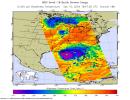
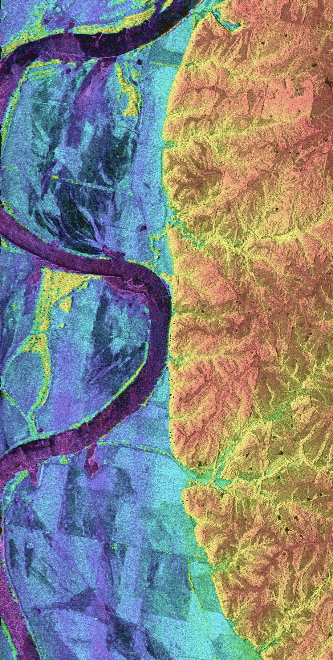
2013-11-13 | Earth |
ARIA |
X-band interferometric synthetic aperture radar |
1623x956x3 |
|
|||||
|
|
2013-11-26 | Earth |
ARIA |
X-band Interferometric Synthetic Aperture Radar |
1916x780x3 |

|
|||||
|
|
2014-09-04 | Earth |
ARIA |
X-band Interferometric Synthetic Aperture Radar |
2019x2004x3 |
|
|||||
|
|
2015-05-01 | Earth |
ARIA |
X-band Interferometric Synthetic Aperture Radar |
1362x1320x3 |
|
|||||
|
|
2015-05-02 | Earth |
ARIA |
C-SAR Sensor |
2048x1152x3 |

|
|||||
|
|
2015-05-04 | Earth |
ARIA |
PALSAR-2 |
713x1047x3 |
|
|||||
|
|
2015-05-07 | Earth |
ARIA |
PALSAR-2 |
1402x2048x3 |
|
|||||
|
|
2015-05-11 | Earth |
ARIA |
PALSAR-2 |
822x1263x3 |
|
|||||
|
|
2016-04-20 | Earth |
ARIA |
PALSAR-2 |
970x759x3 |

|
|||||
|
|
2016-08-27 | Earth |
ARIA |
PALSAR-2 |
1002x1011x3 |

|
|||||
|
|
2016-08-31 | Earth |
ARIA |
668x675x3 | |
|
|||||
|
|
2016-09-01 | Earth |
ARIA |
1390x1231x3 | |

|
|||||
|
|
2016-10-05 | Earth |
ARIA |
1313x1164x3 | |
|
|||||
|
|
2016-11-16 | Earth |
ARIA |
1119x1289x3 | |

|
|||||
|
|
2017-03-23 | Earth |
ARIA |
PALSAR-2 |
4481x2682x3 |
|
|||||
|
|
2017-09-20 | Earth |
ARIA |
1860x1896x3 | |
|
|||||
|
|
2018-02-22 | Earth |
ARIA |
2850x2116x3 | |
|
|||||
|
|
2019-07-11 | Earth |
ARIA |
1754x1959x3 | |
|
|||||
|
|
2021-08-17 | Earth |
ARIA |
2642x2072x3 | |
|
|||||
|
|
2022-12-09 | Earth |
ARIA |
SAR |
3203x2451x3 |
|
|||||
|
|
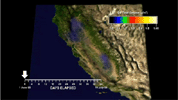
2010-10-25 | Earth |
Aerosol-Cloud-Ecosystem (ACE) |
AirMSPI |
1053x380x3 |
|
|||||
|
|
1999-04-15 | Earth |
Airborne Synthetic Aperture Radar (AIRSAR) |
AirSAR |
1081x2137x3 |

|
|||||
|
|
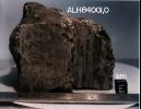
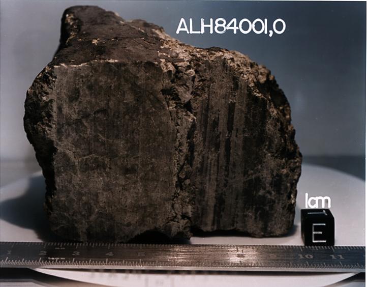
1996-08-08 | Mars |
Antarctic Meteorite Location and Mapping Project (AMLAMP) |
722x564x3 | |
|
|||||
|
|
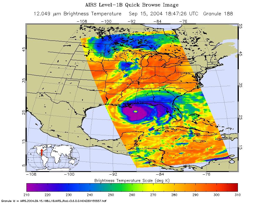
2004-09-15 | Earth |
Aqua |
AIRS |
900x695x3 |
|
|||||
|
|
2008-07-22 | Earth |
Aqua |
AIRS |
1026x577x3 |
|
|||||
|
|
2009-09-04 | Earth |
Aqua |
AIRS |
640x500x3 |
|
|||||
|
|
2011-07-29 | Earth |
Aqua |
AIRS |
927x1000x3 |
|
|||||
|
|
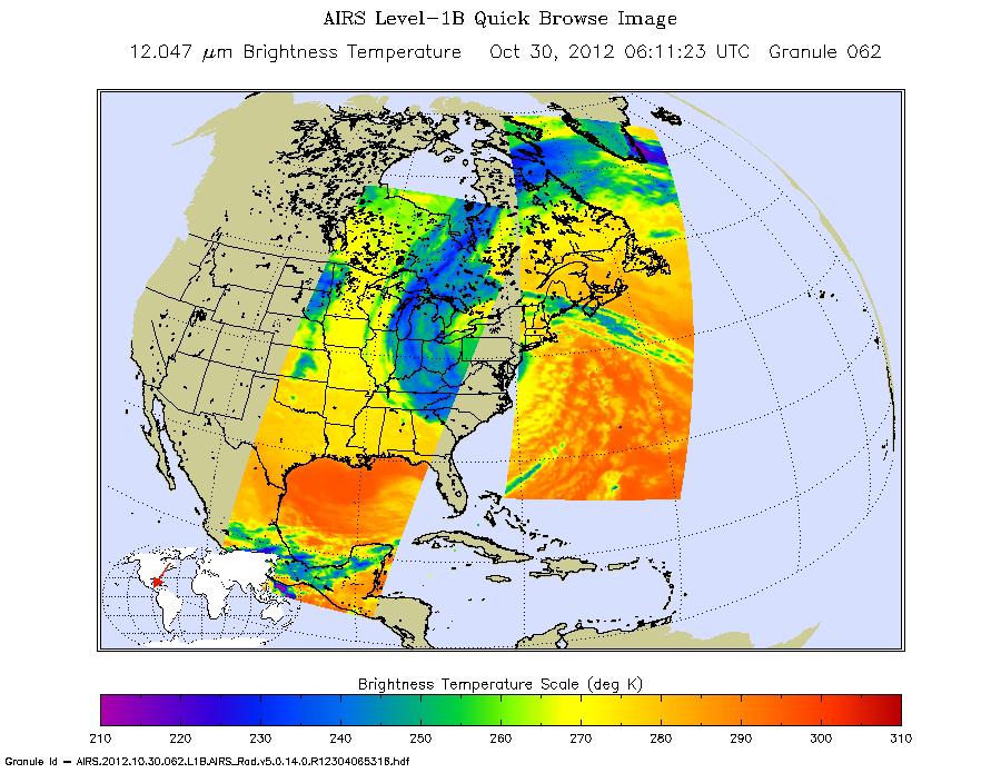
2012-10-30 | Earth |
Aqua |
AIRS |
900x695x3 |
|
|||||
|
|
2015-05-07 | Earth |
Aqua |
AIRS |
737x467x3 |
|
|||||
|
|
2020-09-14 | Earth |
Aqua |
AIRS |
1600x900x3 |
|
|||||
|
|
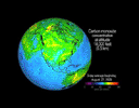
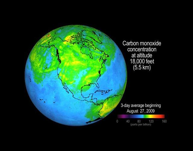
2012-06-12 | Earth |
Aquarius |
Aquarius |
3300x2550x3 |
|
|||||
|
|
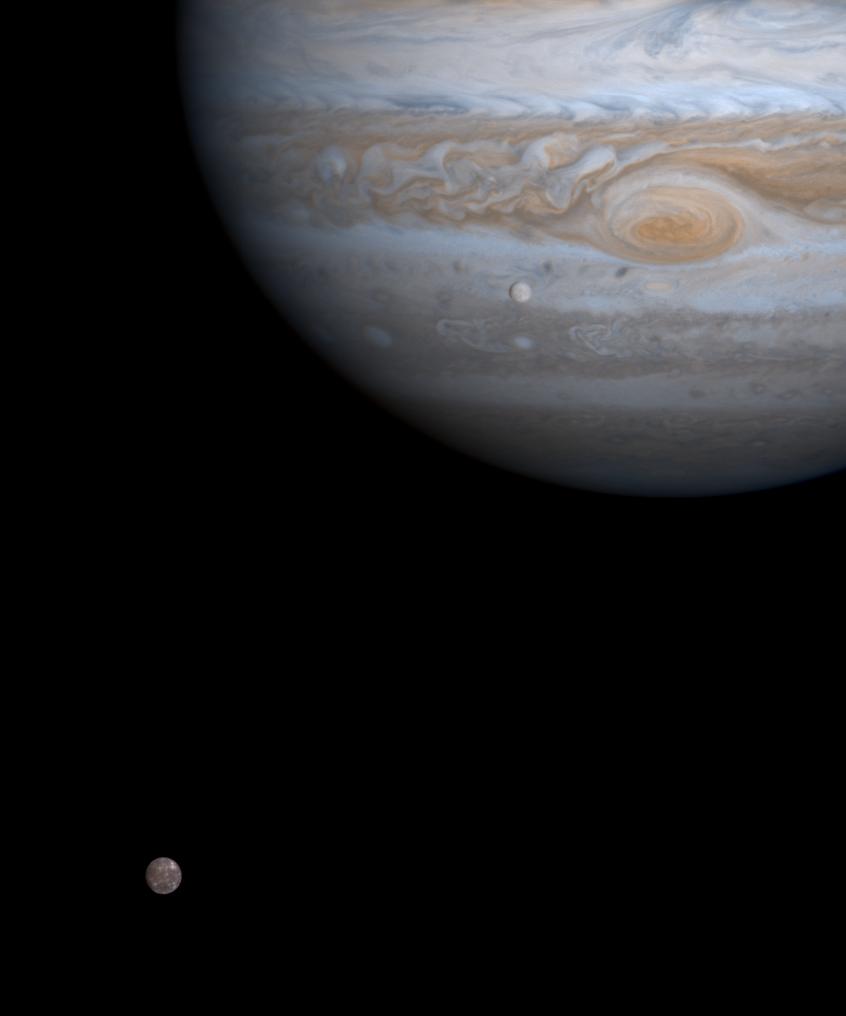
2000-12-21 | Jupiter |
Cassini-Huygens |
Imaging Science Subsystem |
846x1016x3 |
|
|||||
|
|
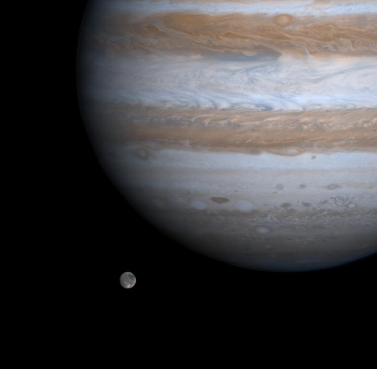
2000-12-23 | Jupiter |
Cassini-Huygens |
Imaging Science Subsystem |
747x731x3 |
|
|||||
|
|
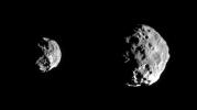
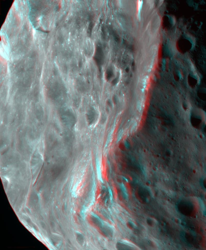
2004-09-02 | Phoebe |
Cassini-Huygens |
ISS - Narrow Angle |
804x974x3 |
|
|||||
|
|
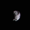
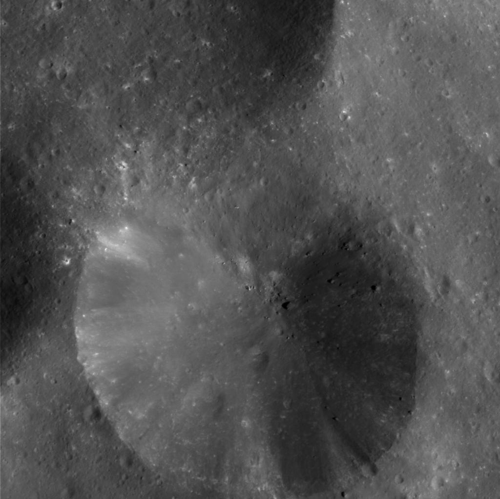
2004-06-12 | Phoebe |
Cassini-Huygens |
ISS - Narrow Angle |
1394x780x1 |
|
|||||
|
|
2004-06-12 | Phoebe |
Cassini-Huygens |
ISS - Narrow Angle |
340x340x9 |
|
|
||||
|
|
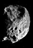
2004-06-13 | Phoebe |
Cassini-Huygens |
ISS - Narrow Angle |
813x1184x1 |
|
|||||
|
|
2004-06-13 | Phoebe |
Cassini-Huygens |
ISS - Narrow Angle |
1024x1020x1 |

|
|||||
|
|
2004-06-14 | Phoebe |
Cassini-Huygens |
ISS - Narrow Angle |
1001x986x1 |
|
|||||
|
|
2004-06-14 | Phoebe |
Cassini-Huygens |
ISS - Narrow Angle |
7426x3509x1 |
|
|||||
|
|
2004-06-14 | Phoebe |
Cassini-Huygens |
ISS - Narrow Angle |
3000x1445x1 |
|
|||||
|
|
2004-06-14 | Phoebe |
Cassini-Huygens |
ISS - Narrow Angle |
1024x1012x1 |
|
|||||
|
|
2004-07-02 | Titan |
Cassini-Huygens |
ISS - Narrow Angle |
1200x580x3 |
|
|||||

|
 |
|
|
 |
 |
|
|
|
|
|

|
| 1-100 | 101-200 | 201-300 | 301-400 | 401-500 | 501-600 | 601-700 | 701-800 | 801-900 | 901-1000 |
| Currently displaying images: 301 - 400 of 3151 |