|
Your search criteria found 153 images Target is Venus |
| My List |
Addition Date | Target | Mission | Instrument |
Size
|

|
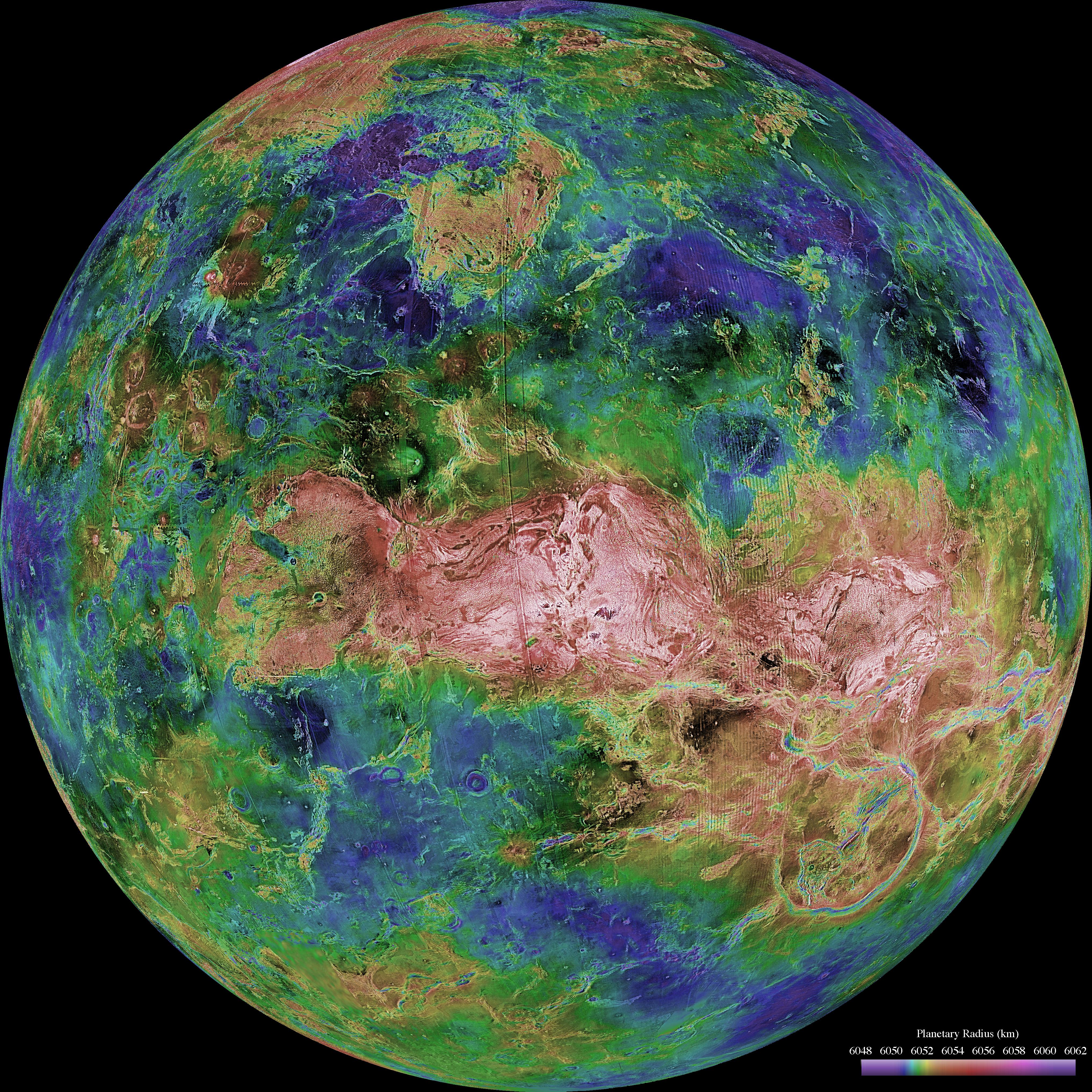
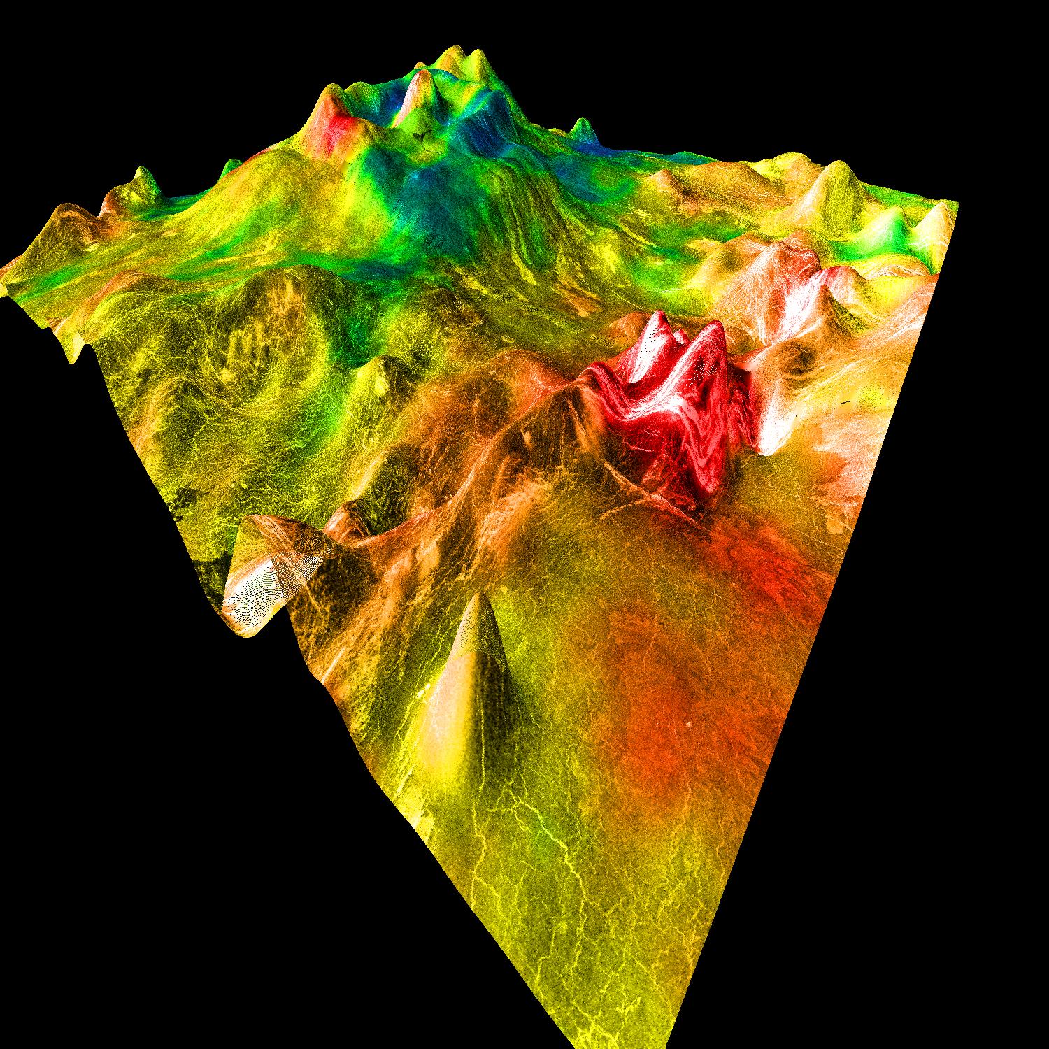
1997-01-16 | Venus |
Magellan |
Imaging Radar |
8131x7169x1 |
|
|||||
|
|
1998-06-03 | Venus |
Pioneer Venus |
Imaging Radar |
500x568x3 |
|
|||||
|
|
1998-06-03 | Venus |
Magellan |
Imaging Radar |
647x425x1 |
|
|||||
|
|
1998-06-03 | Venus |
Magellan |
Imaging Radar |
723x425x1 |
|
|||||
|
|
1998-06-03 | Venus |
Magellan |
Imaging Radar |
647x425x1 |

|
|||||
|
|
1998-06-03 | Venus |
Magellan |
Imaging Radar |
723x425x1 |
|
|||||
|
|
1998-06-04 | Venus |
Magellan |
Imaging Radar |
576x400x1 |
|
|||||
|
|
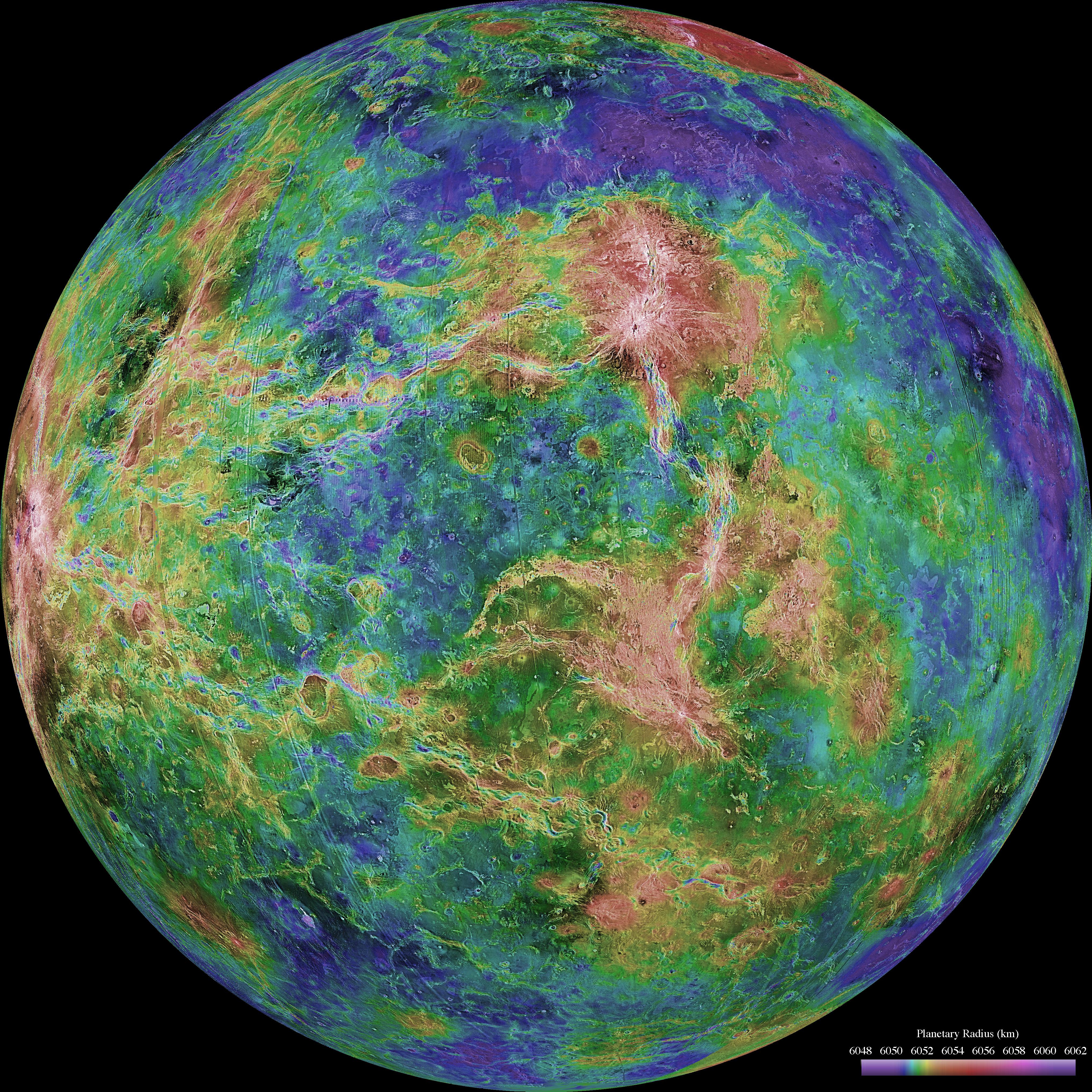
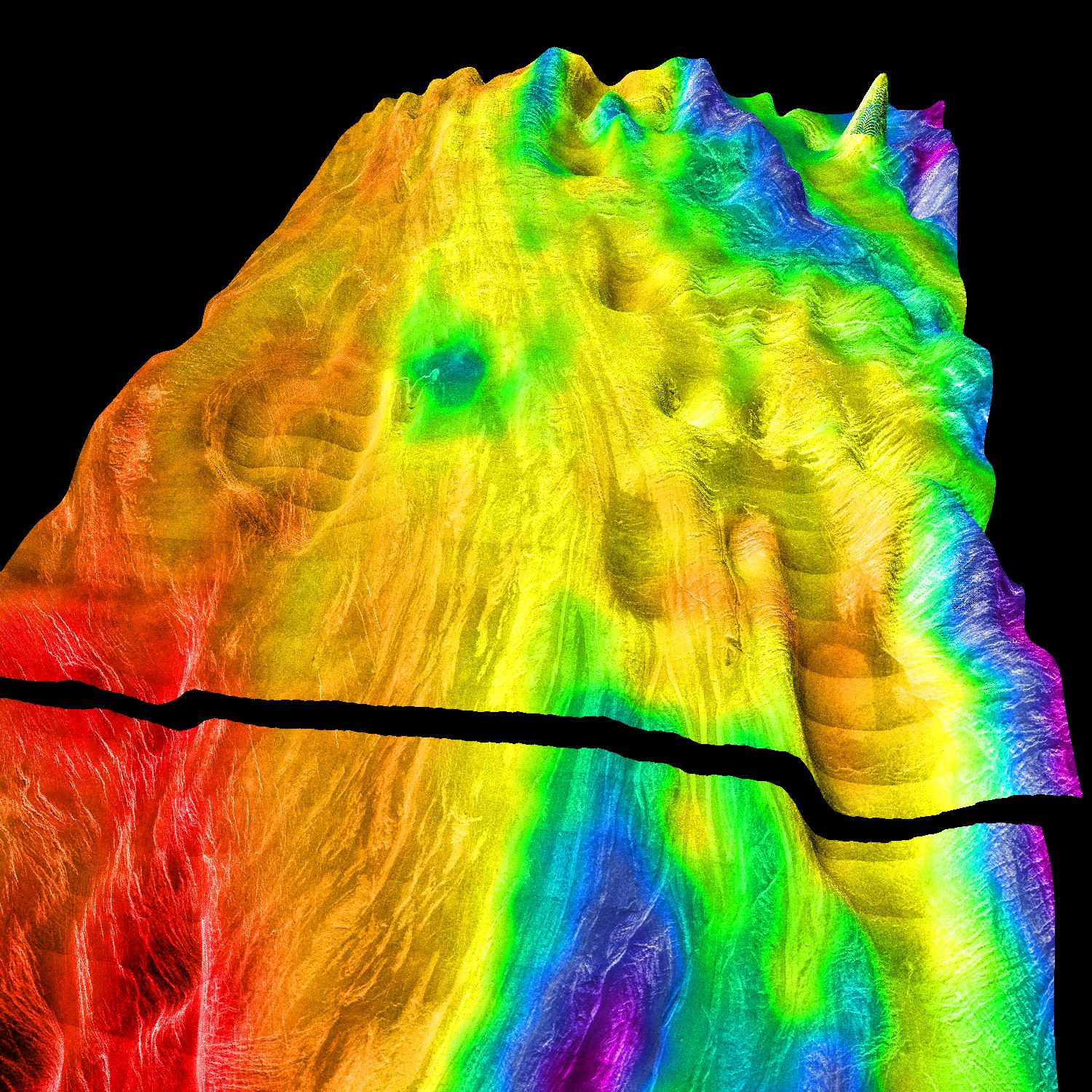
1998-06-04 | Venus |
Magellan |
Imaging Radar |
4064x4064x3 |
|
|||||
|
|
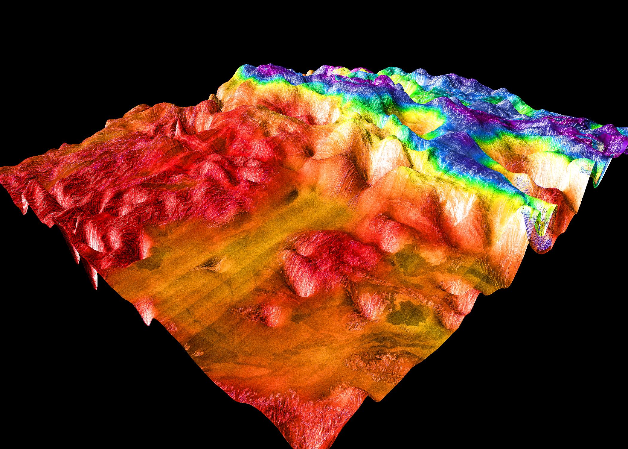
1998-06-04 | Venus |
Magellan |
Imaging Radar |
4064x4064x3 |
|
|||||
|
|
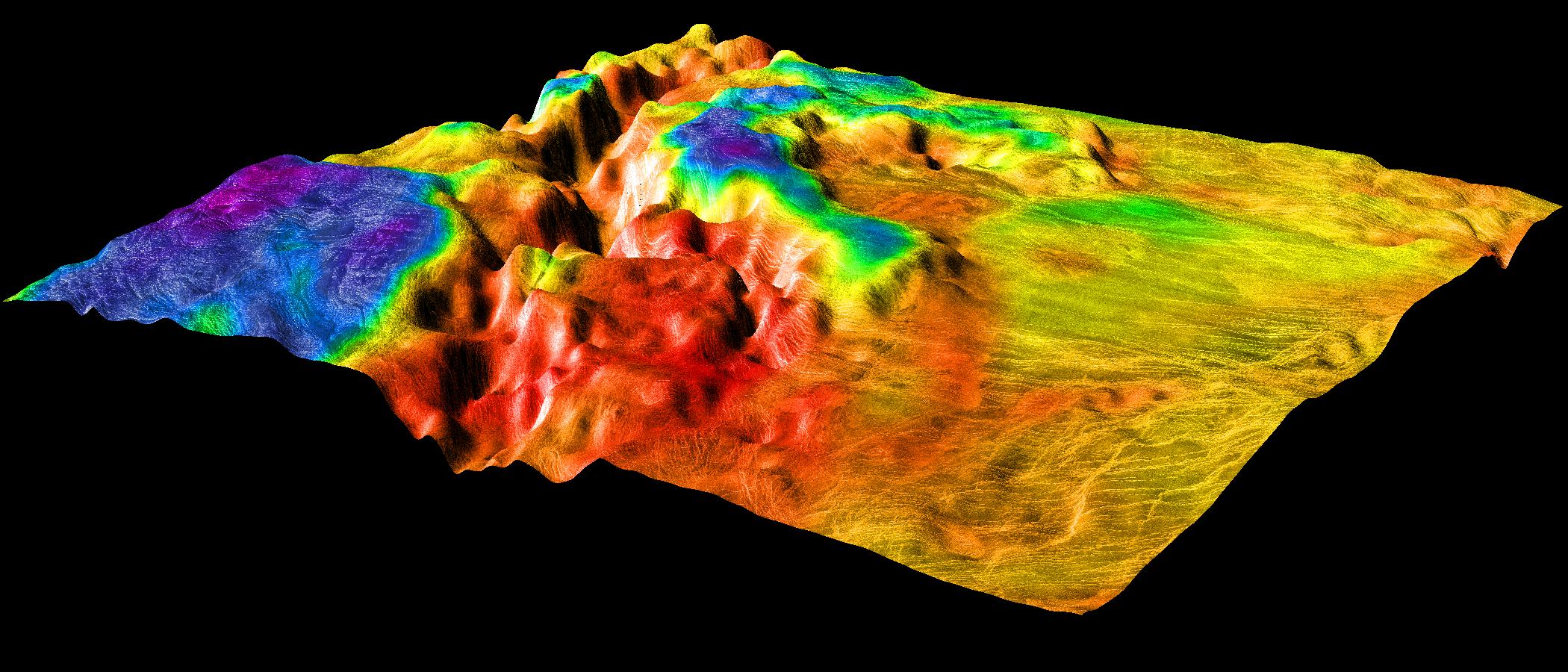
1998-06-04 | Venus |
Magellan |
Imaging Radar |
4064x4064x3 |
|
|||||
|
|
1998-06-04 | Venus |
Magellan |
Imaging Radar |
4064x4064x3 |
|
|||||
|
|
1998-06-04 | Venus |
Magellan |
Imaging Radar |
2000x940x3 |

|
|||||
|
|
1998-06-04 | Venus |
Magellan |
Imaging Radar |
2000x1600x3 |
|
|||||
|
|
1998-06-04 | Venus |
Magellan |
Imaging Radar |
1500x1500x3 |
|
|||||
|
|
1998-06-04 | Venus |
Magellan |
Imaging Radar |
1500x1500x3 |
|
|||||
|
|
1998-06-04 | Venus |
Magellan |
Imaging Radar |
2100x1500x3 |
|
|||||
|
|
1998-06-04 | Venus |
Magellan |
Imaging Radar |
2100x900x3 |
|
|||||
|
|
1998-06-04 | Venus |
Magellan |
Imaging Radar |
1500x1500x3 |
|
|||||
|
|
1998-06-04 | Venus |
Magellan |
Imaging Radar |
700x1400x3 |

|
|||||
|
|
1998-06-04 | Venus |
Magellan |
Imaging Radar |
700x1400x3 |
|
|||||
|
|
1998-06-04 | Venus |
Magellan |
Imaging Radar |
700x1400x3 |
|
|||||
|
|
1998-06-04 | Venus |
Magellan |
Imaging Radar |
700x1400x3 |
|
|||||
|
|
1999-05-18 | Venus |
Hubble Space Telescope |
WFPC2 |
170x248x3 |
|
|||||
|
|
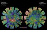
2001-03-15 | Venus |
Magellan |
Arecibo Radar Data Radar System |
13966x8887x3 |
|
|||||
|
|
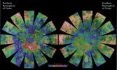
2001-08-27 | Venus |
Magellan |
Arecibo Radar Data Radar System |
15464x9249x3 |
|
|||||
|
|
2003-06-27 | Venus |
Mariner 2 |
1515x1218x3 | |
|
|||||
|
|
2006-11-24 | Venus |
MESSENGER |
MDIS - Wide Angle |
1048x528x1 |

|
|||||
|
|
2007-06-05 | Venus |
MESSENGER |
MDIS - Wide Angle |
1024x1024x1 |
|
|||||
|
|
2007-06-05 | Venus |
MESSENGER |
MDIS - Wide Angle |
608x919x1 |

|
|||||
|
|
2010-02-02 | Venus |
MESSENGER |
MDIS - Wide Angle |
1024x1024x1 |
|
|||||
|
|
2010-04-08 | Venus |
Magellan Venus Express |
VIRTIS |
1920x1080x3 |
|
|||||
|
|
2012-06-15 | Venus |
ACRIMSAT |
ACRIM3 |
4800x3600x1 |
|
|||||
|
|
2020-06-08 | Venus |
Mariner |
2245x1096x3 | |
|
|||||

|
 |
 |
|
| 1-100 | 101-200 |
| Currently displaying images: 121 - 153 of 153 |