Your search criteria found
12760
images
Target is Mars (and available satellites)
Go to PIAxxxxx:
Refine this list of images by:
Target:
Deimos
Mars
Phobos
Mission:
2001 Mars Odyssey
Antarctic Meteorite Location and Mapping Project (AMLAMP)
Dawn
ExoMars
Hubble Space Telescope
InSight
MAVEN
Mariner Mars 1964 (Mariner 4)
Mariner Mars 1969 (Mariner 7)
Mariner Mars 1971 (Mariner 9)
Mars 2020
Mars 2020 Rover
Mars Atmosphere and Volatile Evolution MissioN (MAVEN)
Mars Climate Orbiter
Mars Cube One (MarCO)
Mars Exploration Rover (MER)
Mars Express (MEX)
Mars Global Surveyor (MGS)
Mars Helicopter
Mars Pathfinder (MPF)
Mars Reconnaissance Orbiter (MRO)
Mars Sample Return
Mars Sample Return (MSR)
Mars Science Laboratory (MSL)
Phoenix
Rosetta
Viking
Spacecraft:
2001 Mars Odyssey
Curiosity
Dawn
InSight Mars Lander
Ingenuity
MAVEN
MarCO-B
Mariner 4
Mariner 7
Mariner 9
Mars Climate Orbiter
Mars Express (MEX)
Mars Express (MEX) Orbiter
Mars Global Surveyor Orbiter
Mars Pathfinder Lander
Mars Pathfinder Rover
Mars Reconnaissance Orbiter (MRO)
Mars Sample Return
Mars Science Laboratory (MSL)
NASA's Mars Pathfinder Lander
Opportunity
Perseverance
Philae Lander
Phoenix Lander
Phoenix Mars Lander
Spirit
Viking Lander 1
Viking Lander 2
Viking Orbiter 1
Viking Orbiter 2
Instrument:
Alpha Particle X-ray Spectrometer
Alpha Particle X-ray Spectrometer (MSL)
Atmospheric Structure / Meteorology Instrument
CHIMRA
Camera 1
Camera 2
Chemistry & Mineralogy (CheMin)
Chemistry and Camera (ChemCam)
Comet Infrared and Visible Analyser (CIVA
Compact Reconnaissance Imaging Spectrometer for Mars (CRISM)
Context Camera (CTX)
Deep Space Network
Descent Image Motion Estimation System (DIMES)
Dynamic Albedo of Neutrons
Dynamic Albedo of Neutrons (DAN)
Gamma Ray Spectrometer - Neutron Spectrometer
Gamma Ray Spectrometer Suite
Hazard Avoidance Camera
Hazard Avoidance Camera (M2020)
Hazard Avoidance Camera (MSL)
Heat and Physical Properties Package (HP3)
High Resolution Imaging Science Experiment (HiRISE)
High Resolution Instrument (HRI)
High Resolution Stereo Camera
Imager for Mars Pathfinder
Imaging Ultraviolet Spectrograph
Imaging Ultraviolet Spectrograph (IUVS)
Instrument Context Camera (ICC)
Instrument Deployment Camera (IDC)
Lander Vision System Camera (LCAM)
Magnetometer
Mars Advanced Radar for Subsurface and Ionosphere Sounding (MARSIS)
Mars Advanced Radar for Subsurface and Ionospheric Sounding (MARSIS)
Mars Climate Sounder (MCS)
Mars Color Imager (MARCI)
Mars Descent Imager
Mars Environmental Dynamics Analyzer (MEDA)
Mars Hand Lens Imager (MAHLI)
Mars Horizon Sensor Assembly
Mars Orbiter Camera (MOC)
Mars Orbiter Laser Altimeter
Mars Radiation Experiment
Mastcam
Mastcam-Z
Microscopic Imager
Microscopy Electrochemistry and Conductivity Analyzer (MECA)
Miniature Thermal Emission Spectrometer
Moessbauer Spectrometer
Navigation Camera
Navigation Camera (M2020)
Navigation Camera (MSL)
Neutral Gas and Ion Mass Spectrometer
Neutron Spectrometer
Optical Microscope
Optical Navigation Camera
Panoramic Camera
Planetary Instrument for X-ray Lithochemistry (PIXL)
Radar System
Radiation Assessment Detector (RAD)
Radio Science Subsystem
Robotic Arm
Robotic Arm (MSL)
Robotic Arm Camera (RAC)
Rock Abrasion Tool (RAT)
Rover Cameras
Rover Environmental Monitoring Station (REMS)
Sample Analysis at Mars (SAM)
Scanning Habitable Environments with Raman & Luminescence for Organics and Chemicals (SHERLOC)
Seismic Experiment for Interior Structure (SEIS)
Shallow Subsurface Radar (SHARAD)
Stereo Imager (SSI)
SuperCam
Surface Stereo Imager (SSI)
Thermal Emission Imaging System
Thermal Emission Spectrometer
Thermal and Electrical Conductivity Probe
Thermal and Evolved Gas Analyzer
Trace Gas Orbiter
Visual Imaging Subsystem
Visual Imaging Subsystem - Camera A
Visual Imaging Subsystem - Camera B
Wide Field Planetary Camera 2
Click on an image for detailed information
Click on a column heading to sort in ascending or descending order
My
List
Addition Date
Target
Mission
Instrument
Size
2015-05-01
Mars
2001 Mars Odyssey
THEMIS
1332x2666x1
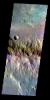
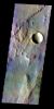
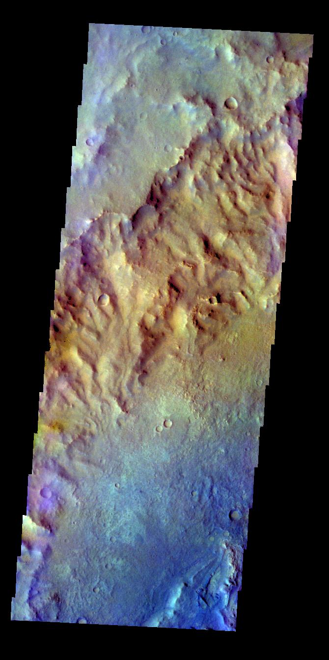
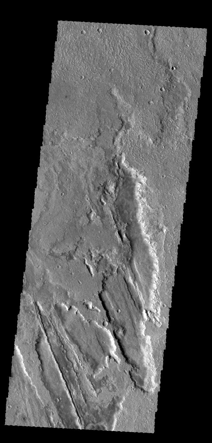
PIA19441:
More Sirenum Fossae
Full Resolution:
TIFF
(3.555 MB)
JPEG
(266.7 kB)
2015-05-04
Mars
2001 Mars Odyssey
THEMIS
1342x2651x1
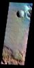
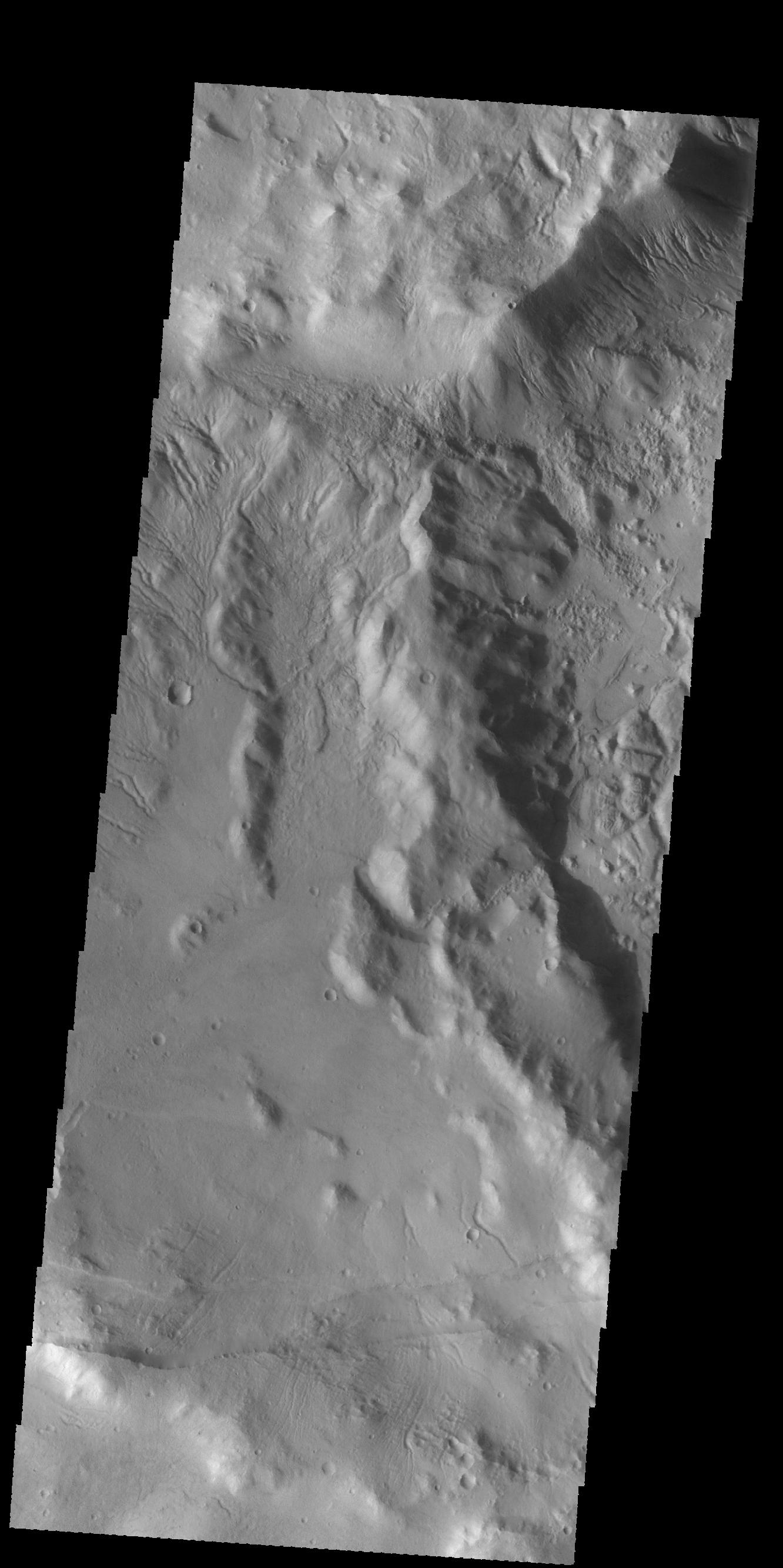
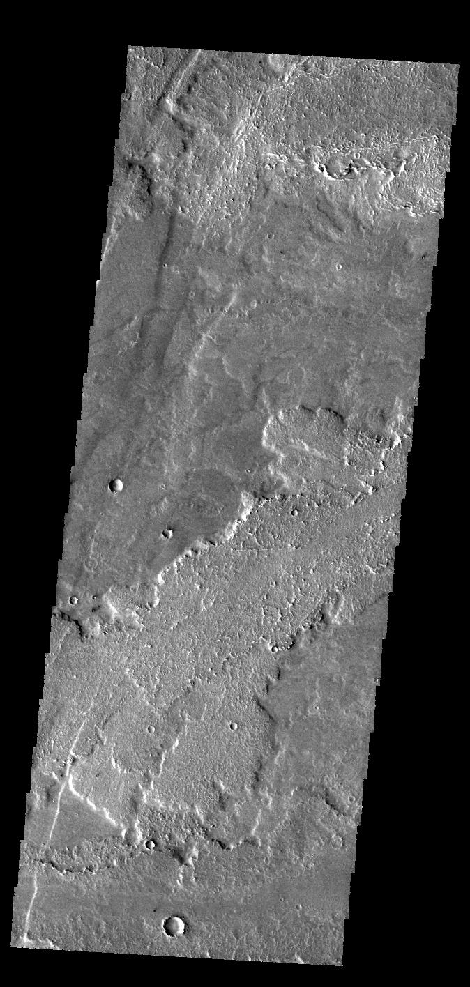
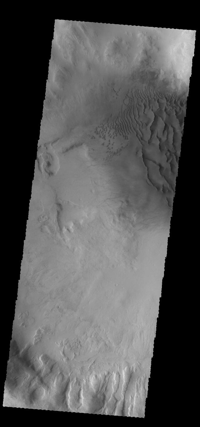
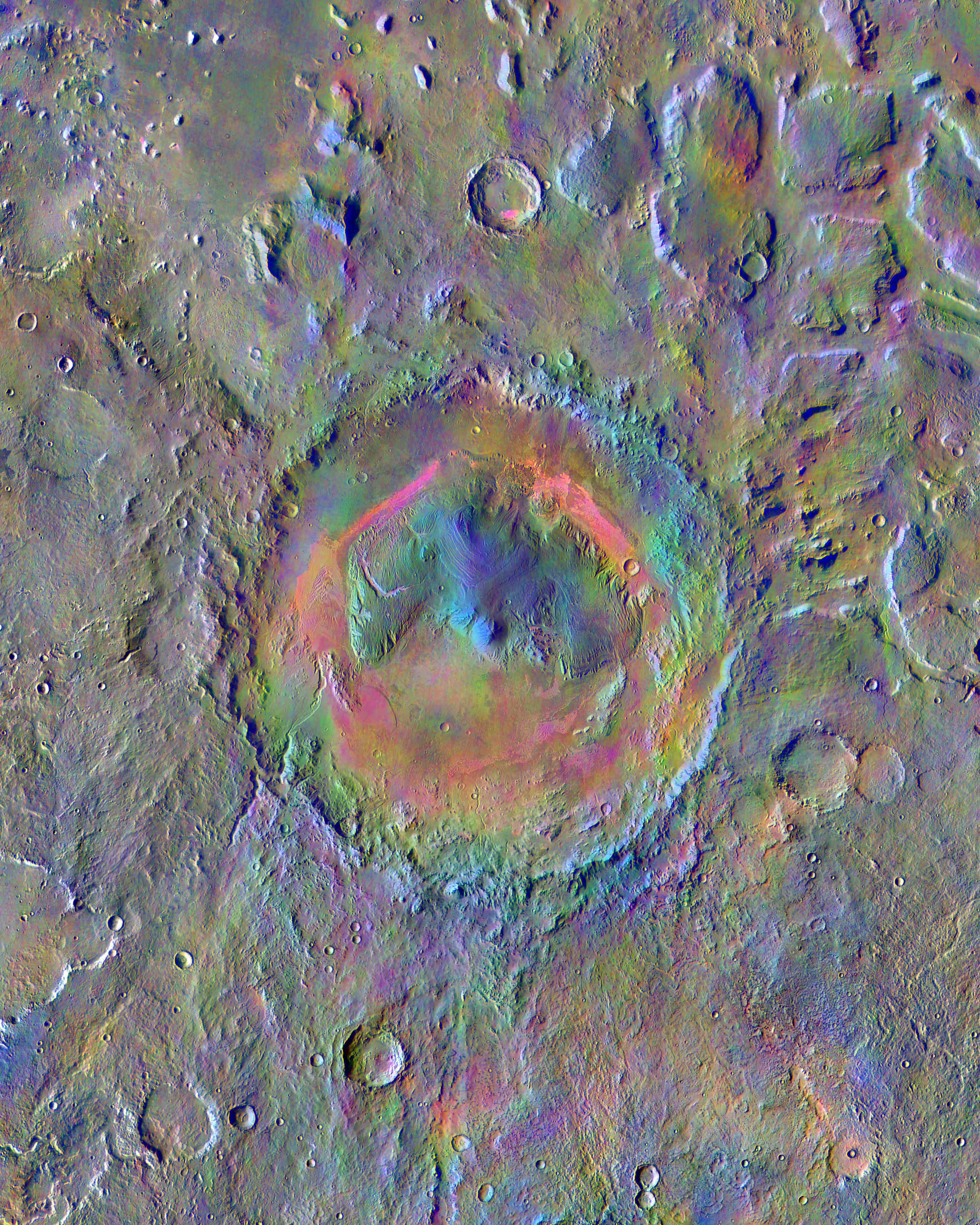
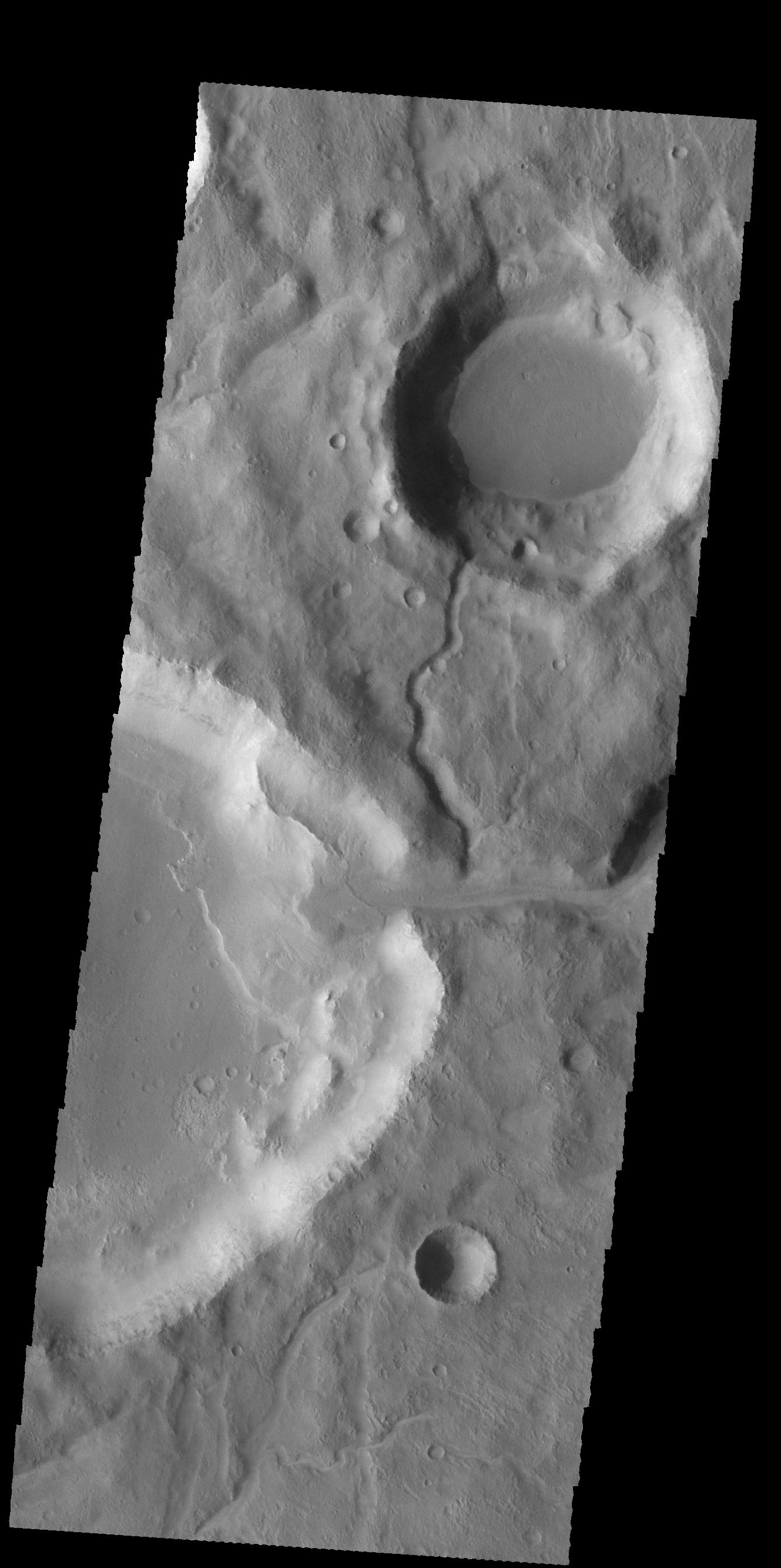
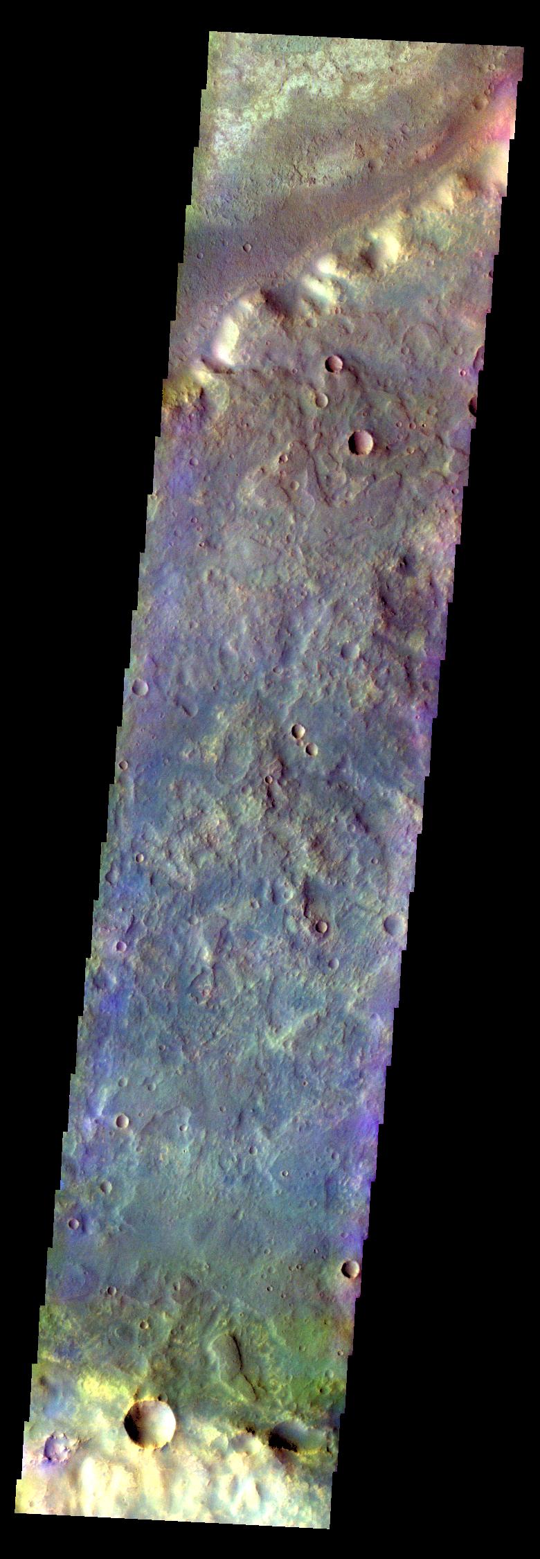
PIA19446:
Her Desher Vallis
Full Resolution:
TIFF
(3.561 MB)
JPEG
(260.5 kB)
2015-05-04
Mars
720x412x3
PIA19396:
Diverse Orbits Around Mars (Graphic)
Full Resolution:
TIFF
(890.4 kB)
JPEG
(20.92 kB)
2015-05-05
Mars
2001 Mars Odyssey
THEMIS
682x1422x1
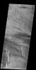
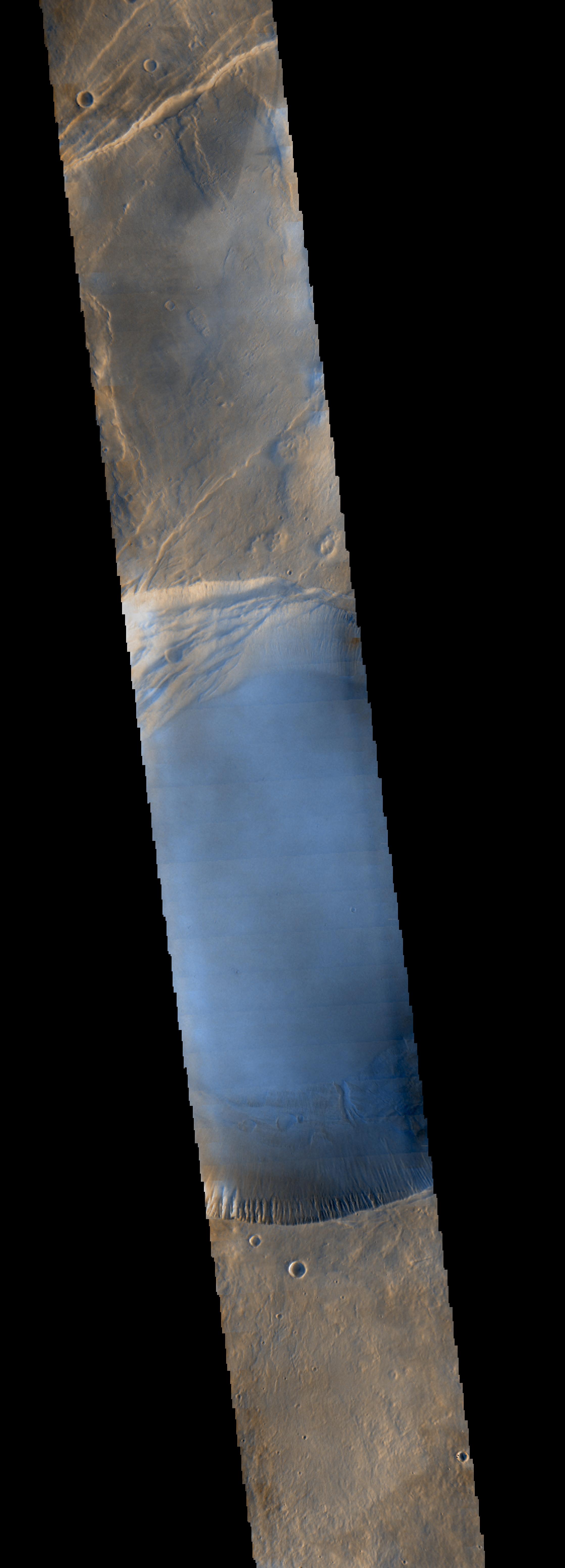
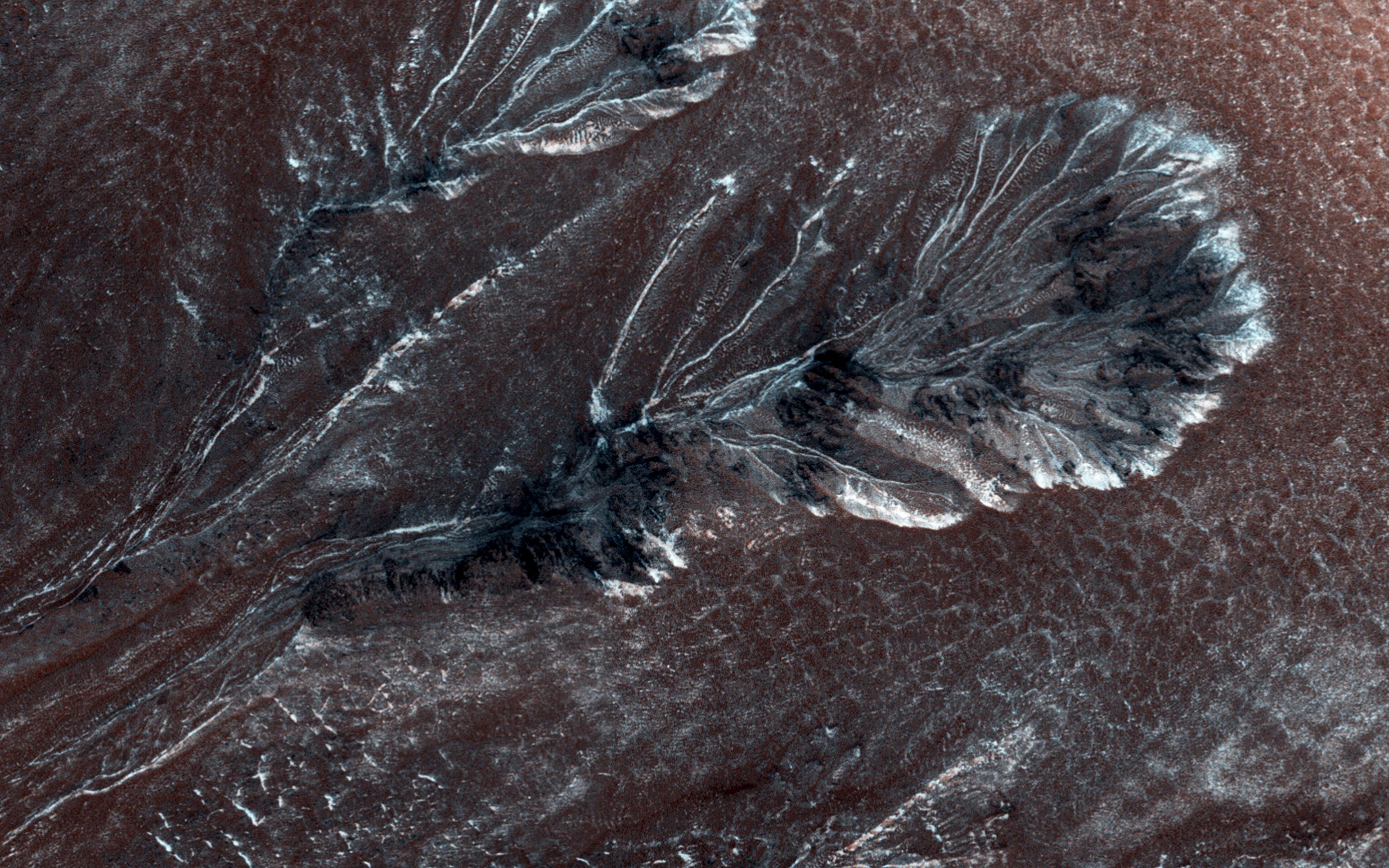
PIA19447:
Samara Valles
Full Resolution:
TIFF
(971 kB)
JPEG
(97.72 kB)
2015-05-06
Mars
2001 Mars Odyssey
THEMIS
674x1416x1
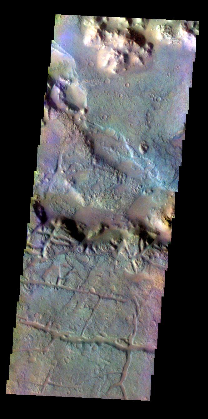
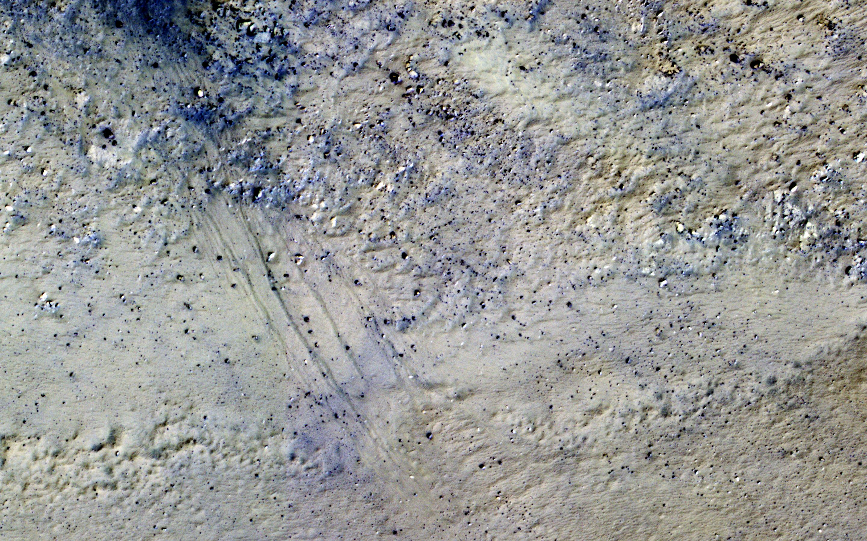
PIA19451:
Daedalia Planum
Full Resolution:
TIFF
(955.5 kB)
JPEG
(161.8 kB)
2015-05-06
Mars
Mars Reconnaissance Orbiter (MRO)
HiRISE
2880x1800x3
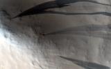
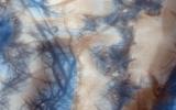
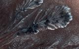
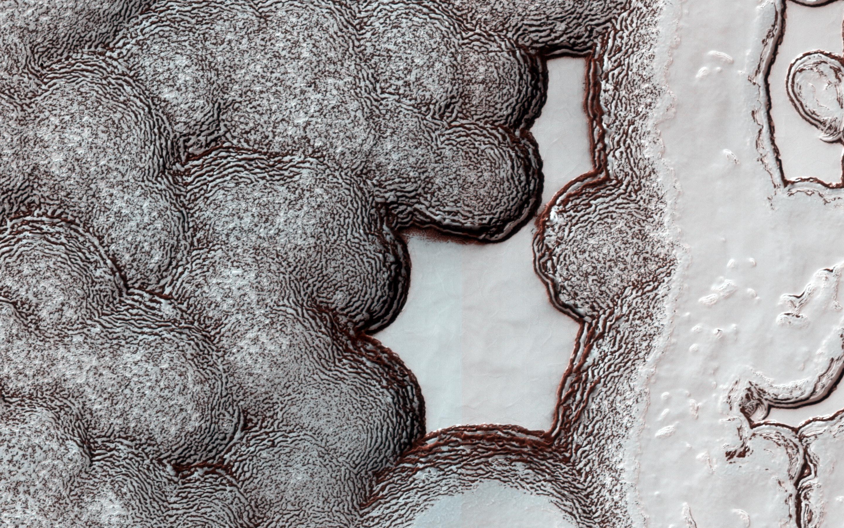
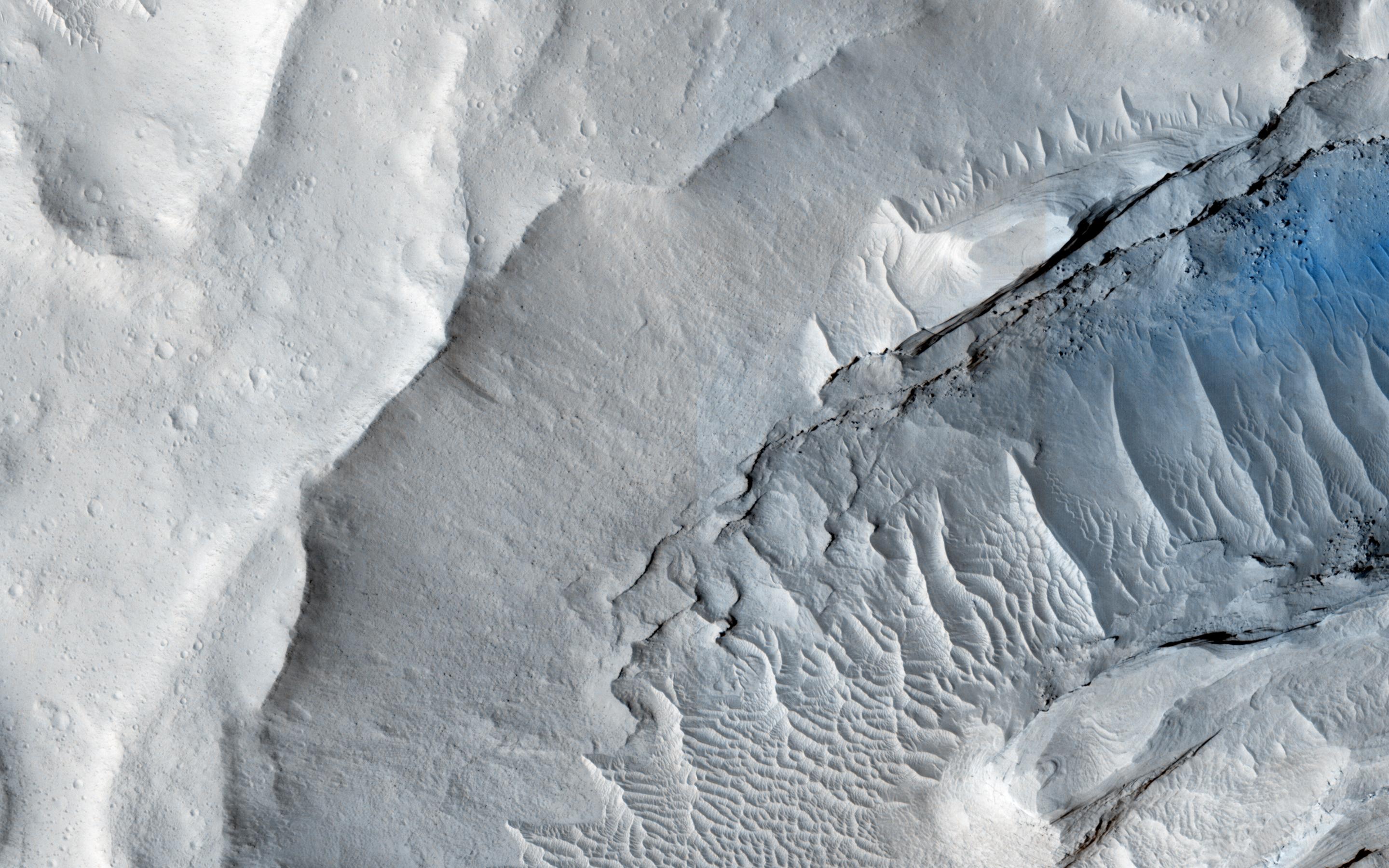
PIA19456:
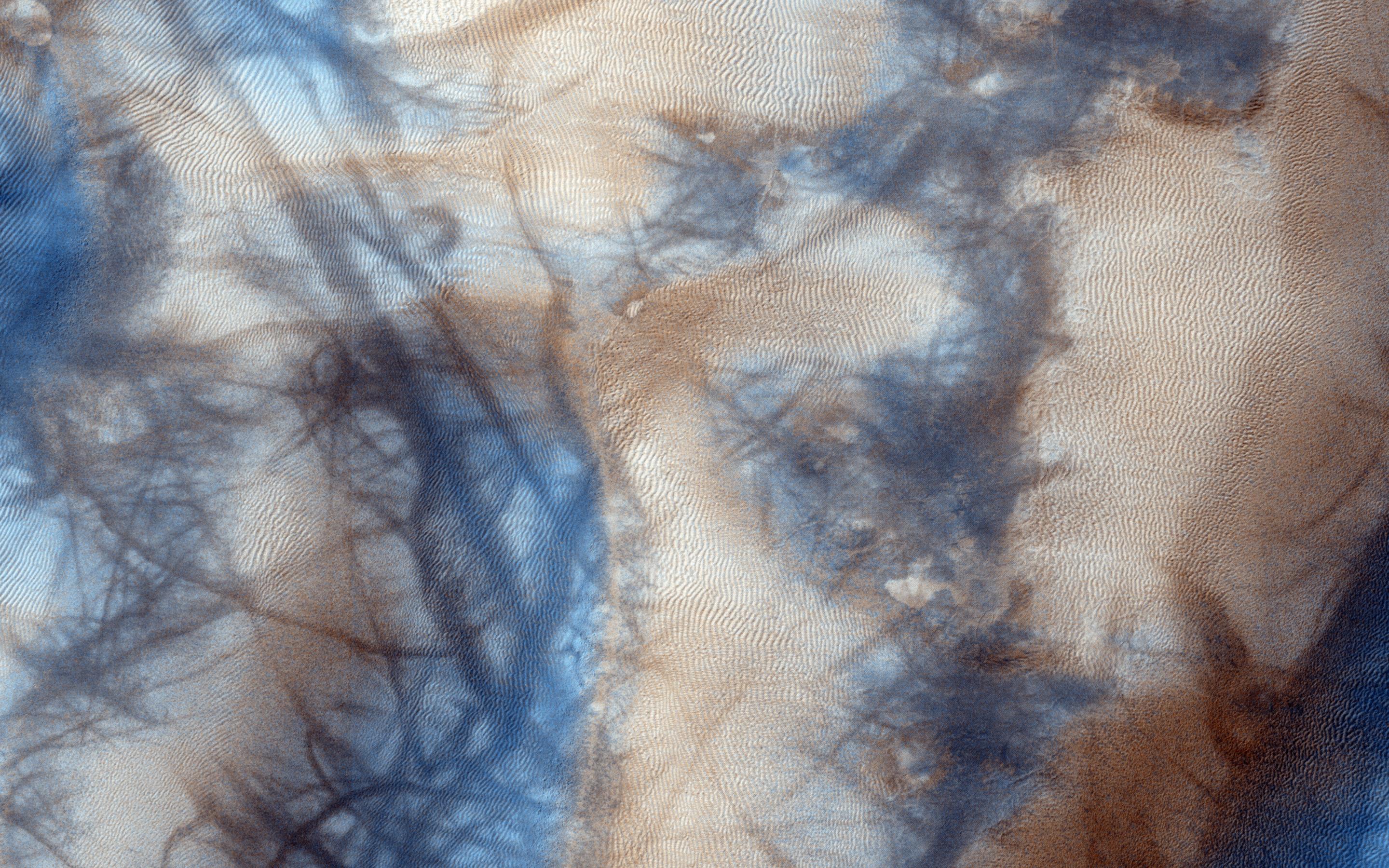
Slope Streaks on a Dusty Planet
Full Resolution:
TIFF
(15.56 MB)
JPEG
(534.2 kB)
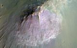
2015-05-06
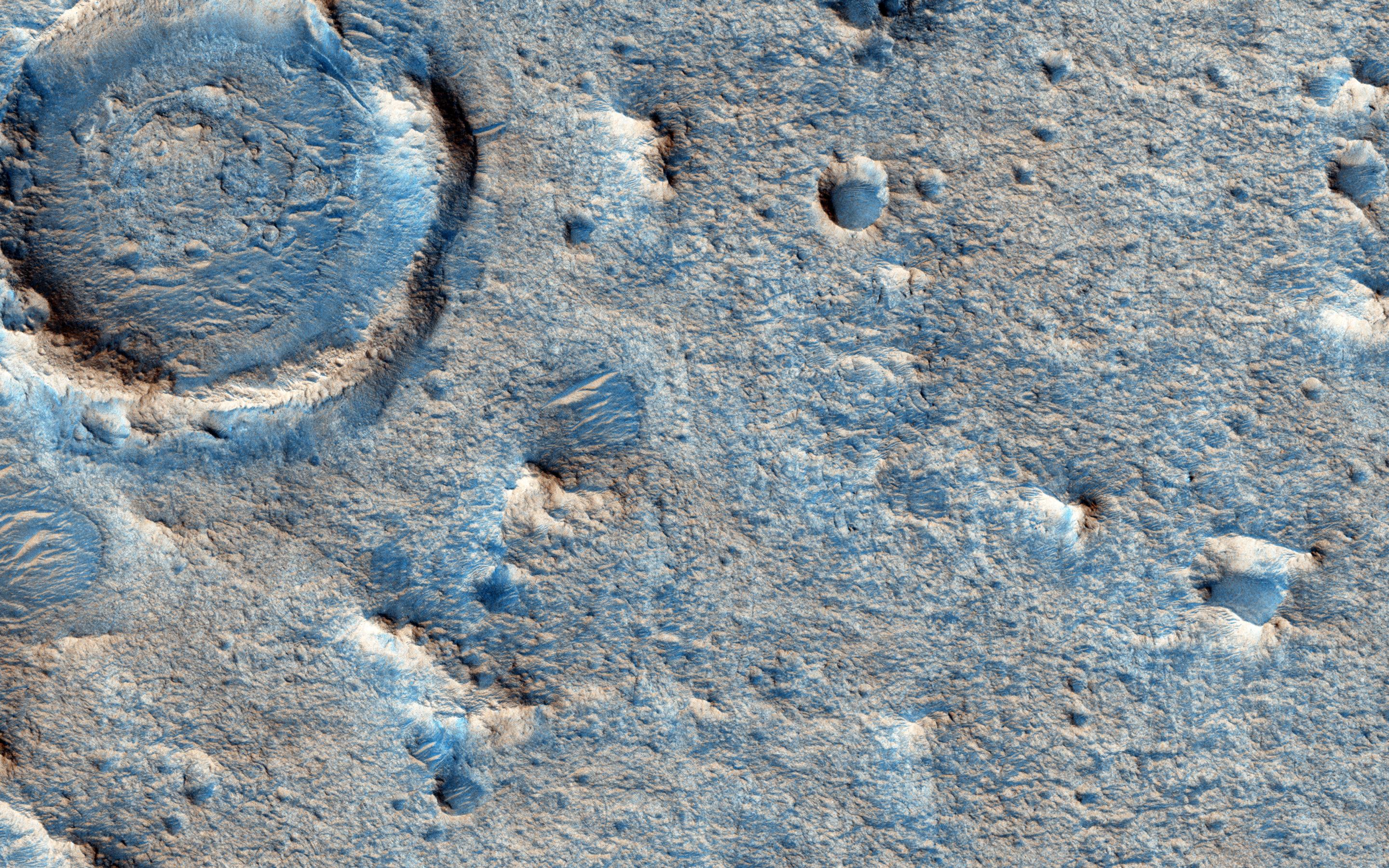
Mars
Mars Reconnaissance Orbiter (MRO)
HiRISE
2880x1800x3
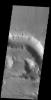
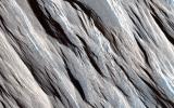
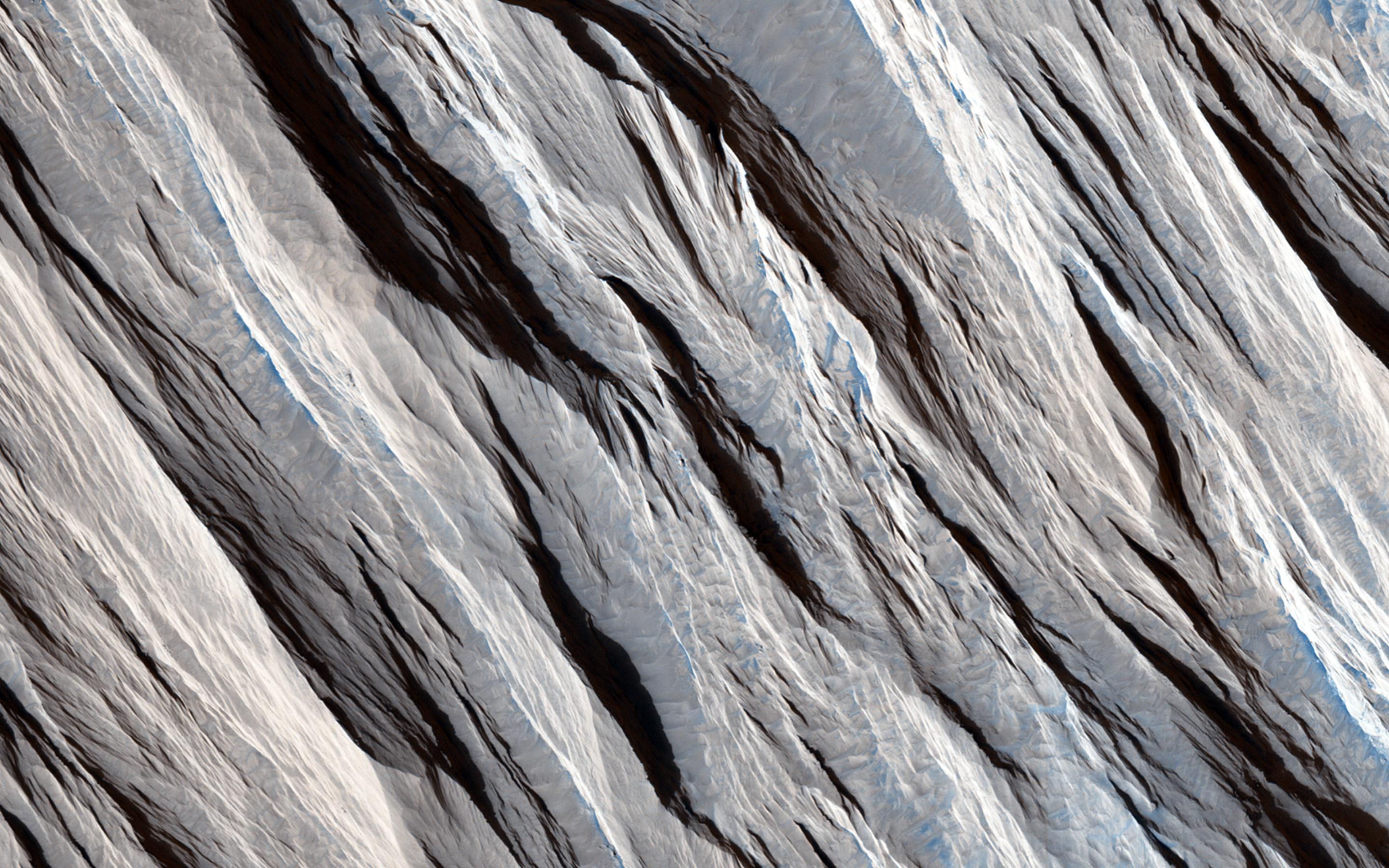
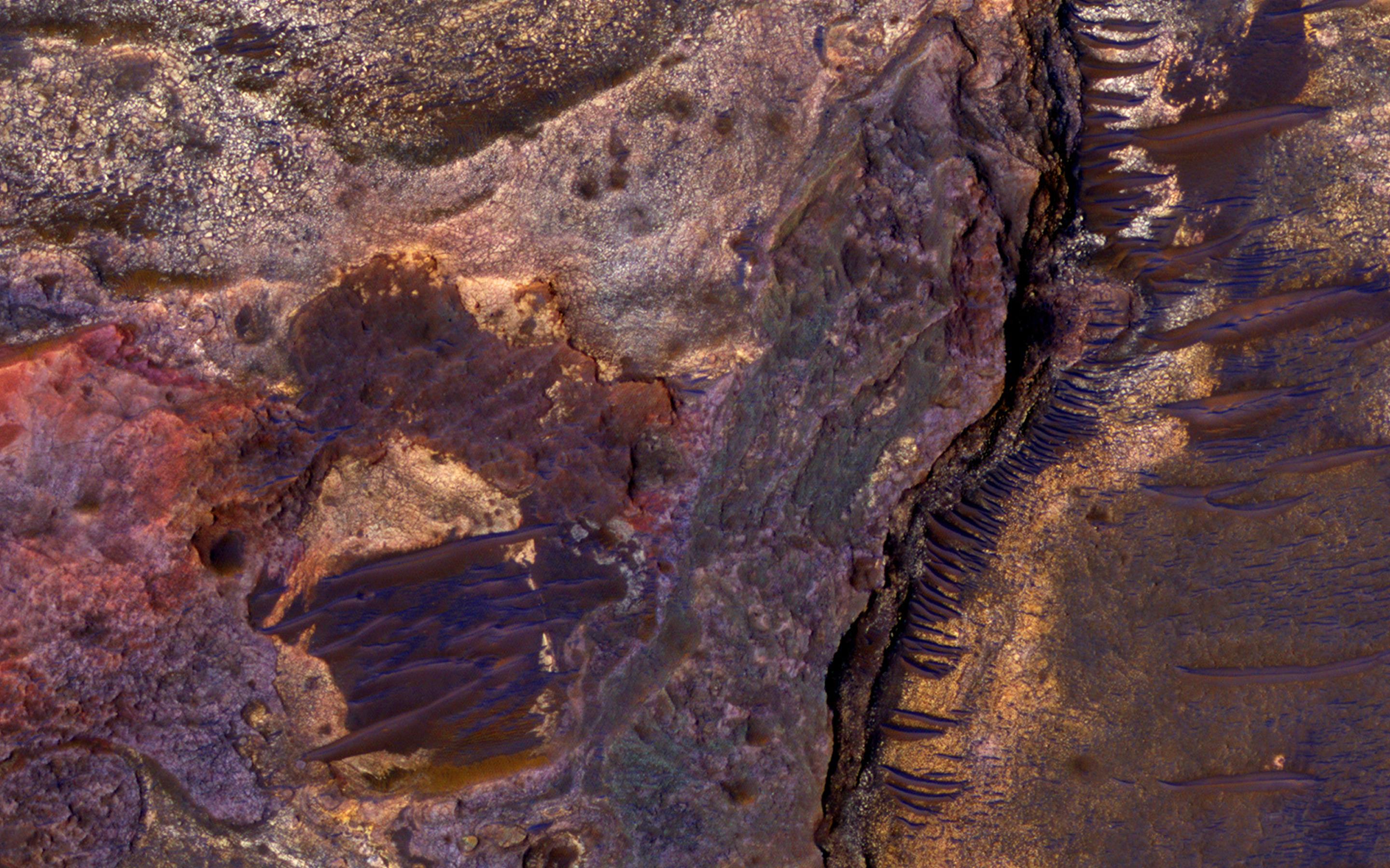
PIA19457:
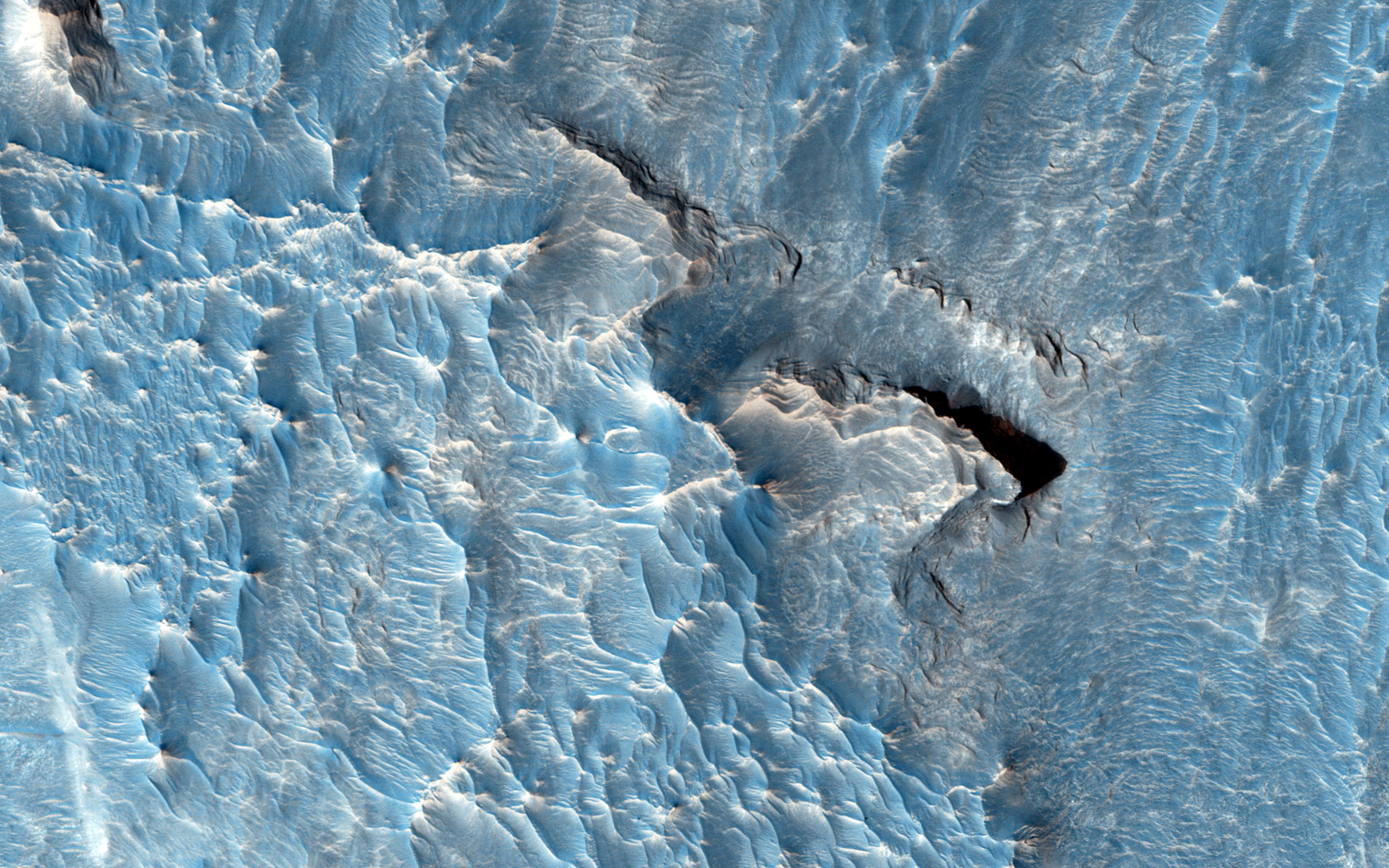
On the Beauty of Yardangs
Full Resolution:
TIFF
(15.56 MB)
JPEG
(764.5 kB)
2015-05-06
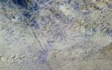
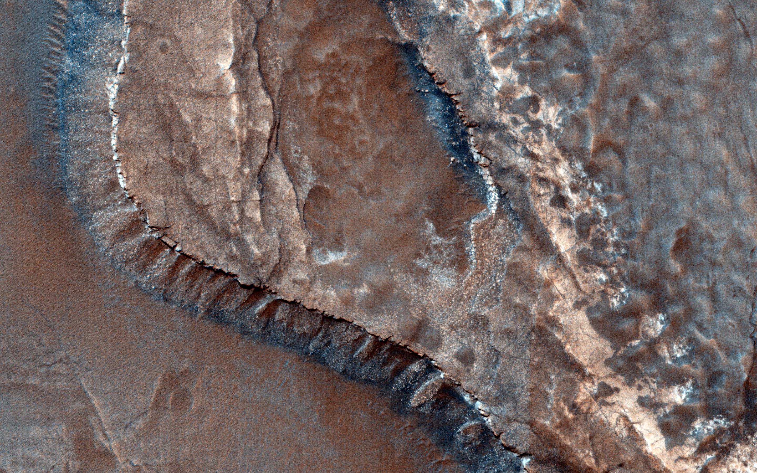
Mars
Mars Reconnaissance Orbiter (MRO)
HiRISE
2880x1800x3
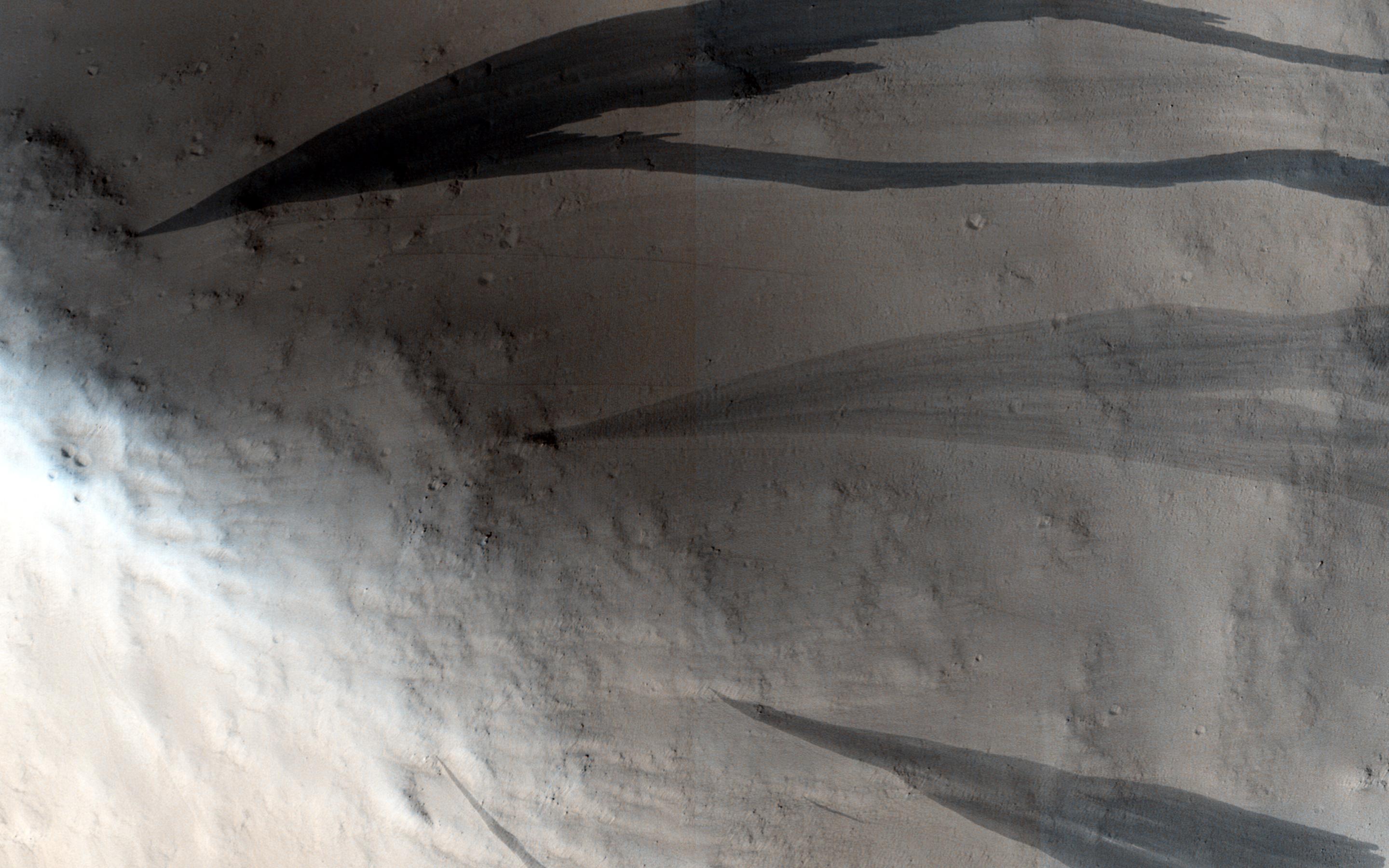
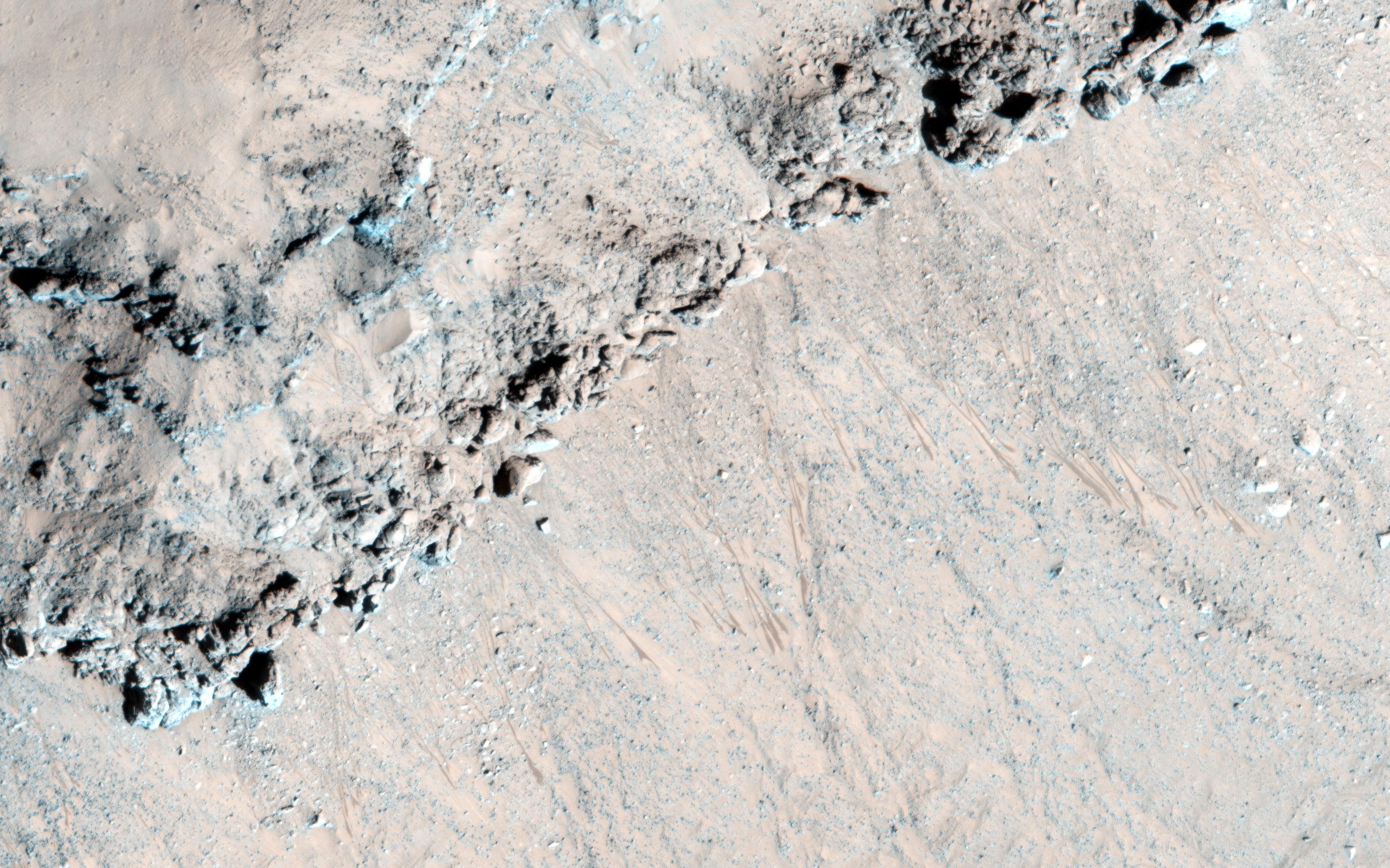
PIA19458:
Warm-Season Flows in Cold-Season Ravines
Full Resolution:
TIFF
(15.56 MB)
JPEG
(1.068 MB)
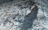
2015-05-06
Mars
Mars Reconnaissance Orbiter (MRO)
HiRISE
840x333x1
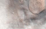
PIA19459:
Darn Dust!
Full Resolution:
TIFF
(280.2 kB)
JPEG
(41.45 kB)
2015-05-07
Mars
2001 Mars Odyssey
THEMIS
555x1489x1
PIA19452:
Crater Dunes
Full Resolution:
TIFF
(827.5 kB)
JPEG
(48.69 kB)
2015-05-08
Mars
2001 Mars Odyssey
THEMIS
534x1453x1
PIA19453:
Dust Devil Tracks
Full Resolution:
TIFF
(776.9 kB)
JPEG
(85.18 kB)
2015-05-08
Mars
Mars Science Laboratory (MSL)
Mastcam
19578x3893x3
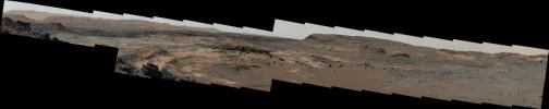
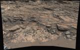
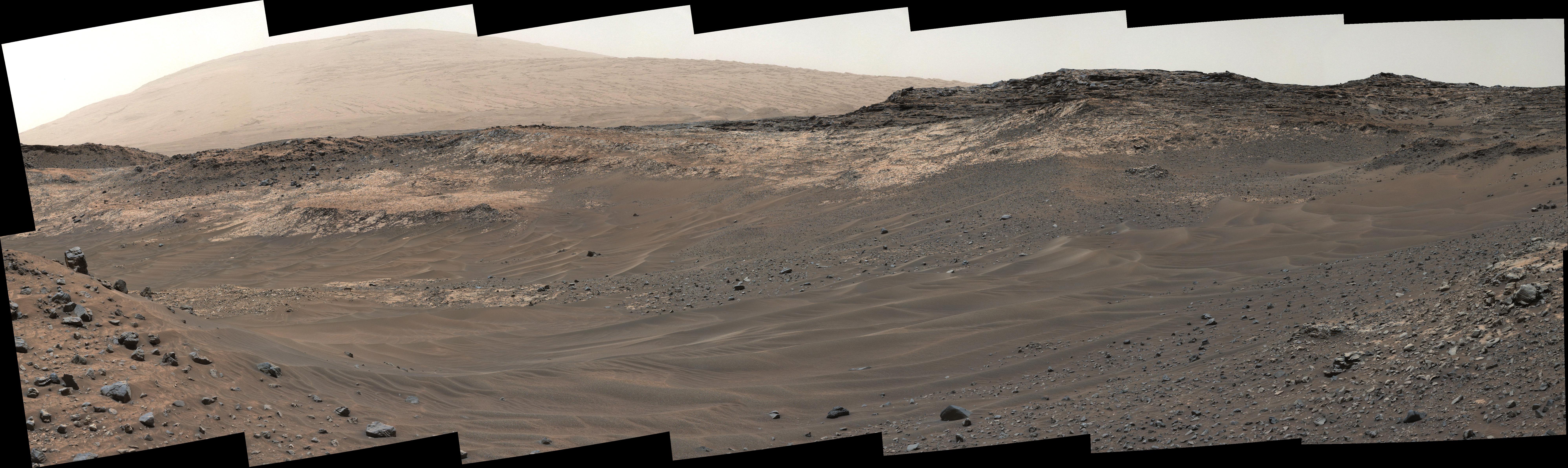
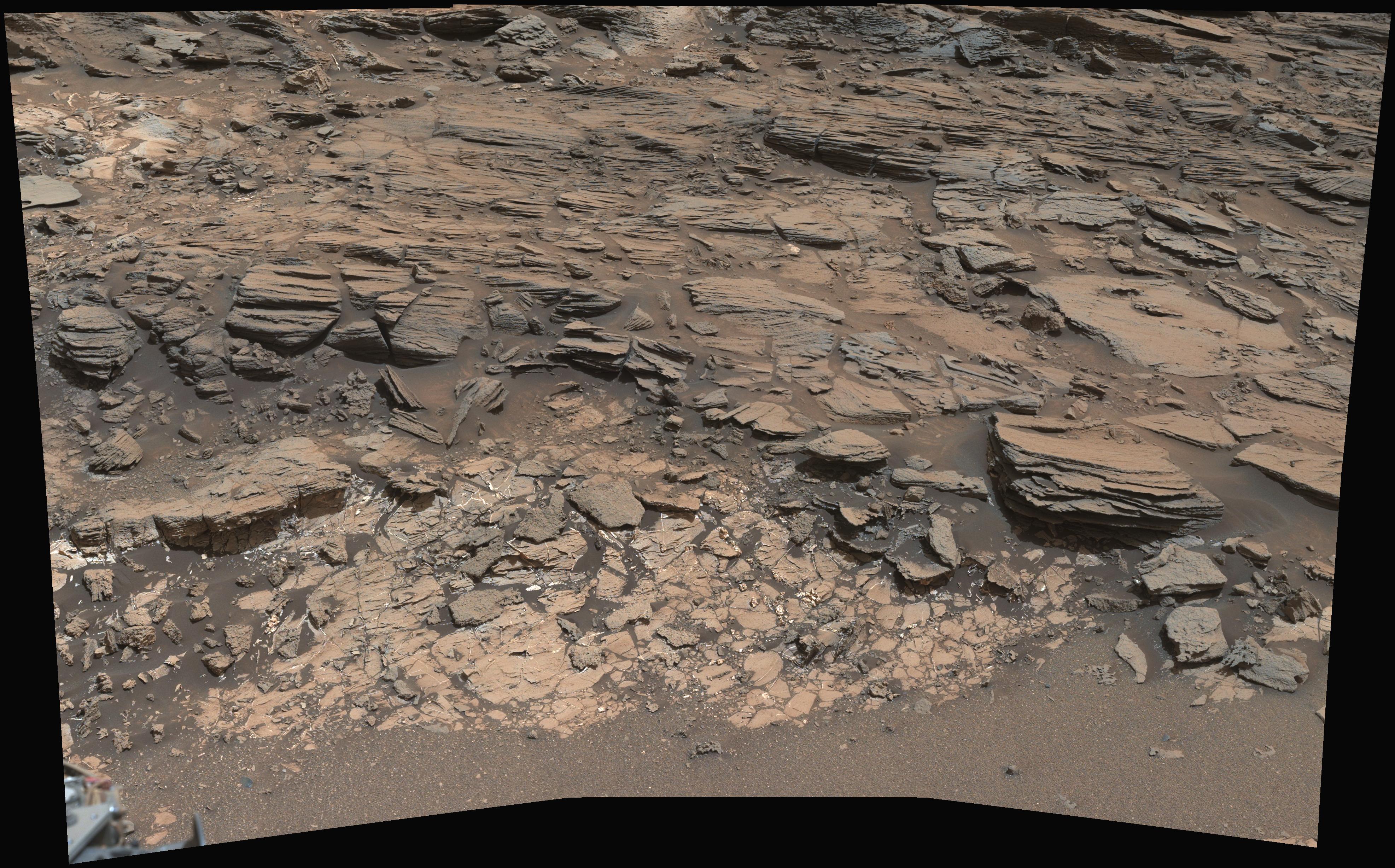
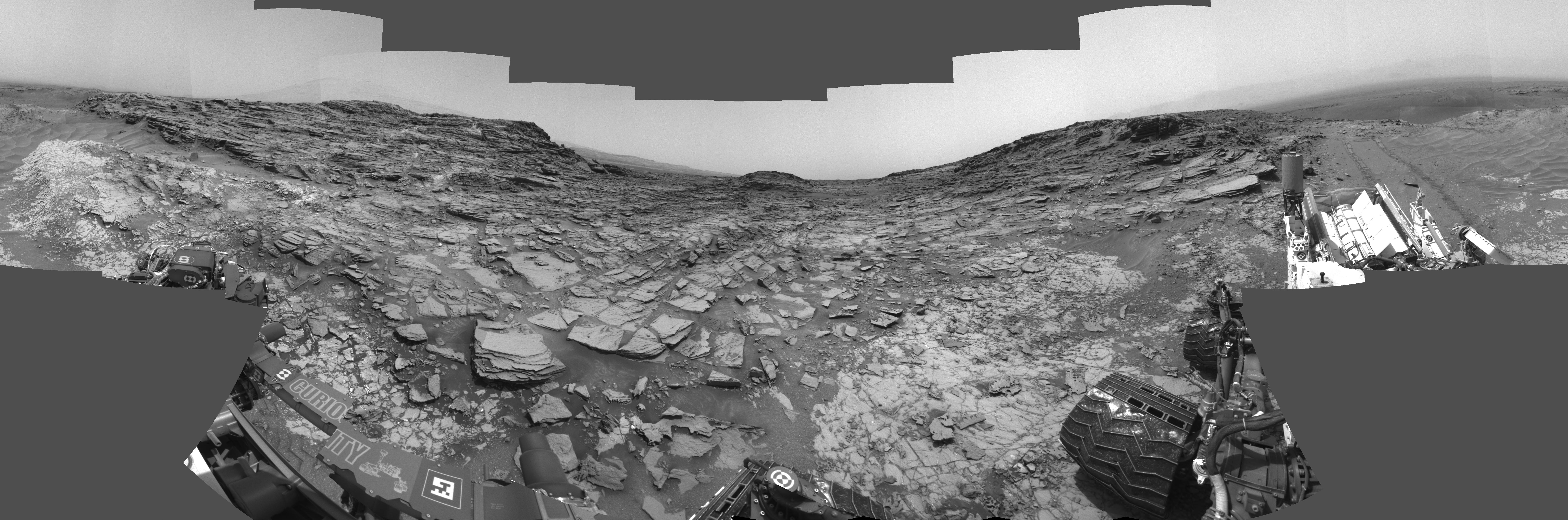
PIA19397:
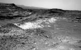
Diverse Terrain Types on Mount Sharp, Mars
Full Resolution:
TIFF
(228.7 MB)
JPEG
(6.143 MB)
2015-05-08
Mars
Mars Science Laboratory (MSL)
Mastcam
13066x3144x3
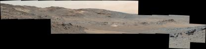
PIA19398:
Looking Toward Curiosity Study Areas, Spring 2015
Full Resolution:
TIFF
(123.3 MB)
JPEG
(3.421 MB)
2015-05-08
Mars
Mars Science Laboratory (MSL)
HiRISE
3300x2550x3
PIA19399:
Curiosity's Path to Some Spring 2015 Study Sites
Full Resolution:
TIFF
(25.26 MB)
JPEG
(1.318 MB)
2015-05-08
Mars
Mars Science Laboratory (MSL)
Mastcam
1344x1080x3
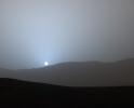
PIA19400:
Sunset in Mars' Gale Crater
Full Resolution:
TIFF
(4.356 MB)
JPEG
(47.63 kB)
2015-05-08
Mars
Mars Science Laboratory (MSL)
Mastcam
1619x1154x3
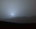
PIA19401:
Sunset Sequence in Mars' Gale Crater (Animation)
Full Resolution:
TIFF
(5.607 MB)
JPEG
(64.18 kB)
2015-05-11
Mars
2001 Mars Odyssey
THEMIS
674x1345x3
PIA19454:
Terra Cimmeria - False Color
Full Resolution:
TIFF
(2.721 MB)
JPEG
(90.89 kB)
2015-05-12
Mars
2001 Mars Odyssey
THEMIS
786x2252x3
PIA19455:
Hadley Crater - False Color
Full Resolution:
TIFF
(5.312 MB)
JPEG
(158.3 kB)
2015-05-13
Mars
2001 Mars Odyssey
THEMIS
788x2255x3
PIA19460:
Daedalia Planum - False Color
Full Resolution:
TIFF
(5.333 MB)
JPEG
(198.4 kB)
2015-05-14
Mars
2001 Mars Odyssey
THEMIS
1458x1678x3
PIA19461:
Southern Spring - False Color
Full Resolution:
TIFF
(7.342 MB)
JPEG
(201.4 kB)
2015-05-15
Mars
2001 Mars Odyssey
THEMIS
1470x1683x3
PIA19462:
South Polar Layers - False Color
Full Resolution:
TIFF
(7.425 MB)
JPEG
(113.7 kB)
2015-05-18
Mars
2001 Mars Odyssey
THEMIS
535x1455x1
PIA19464:
Dust Devil Tracks
Full Resolution:
TIFF
(779.4 kB)
JPEG
(90.89 kB)
2015-05-19
Mars
2001 Mars Odyssey
THEMIS
1324x2642x1
PIA19465:
Daedalia Planum
Full Resolution:
TIFF
(3.502 MB)
JPEG
(556.3 kB)
2015-05-20
Mars
2001 Mars Odyssey
THEMIS
1329x2666x1
PIA19466:
Crater Rim Gullies
Full Resolution:
TIFF
(3.547 MB)
JPEG
(270.5 kB)
2015-05-20
Mars
Mars Reconnaissance Orbiter (MRO)
HiRISE
2880x1800x3
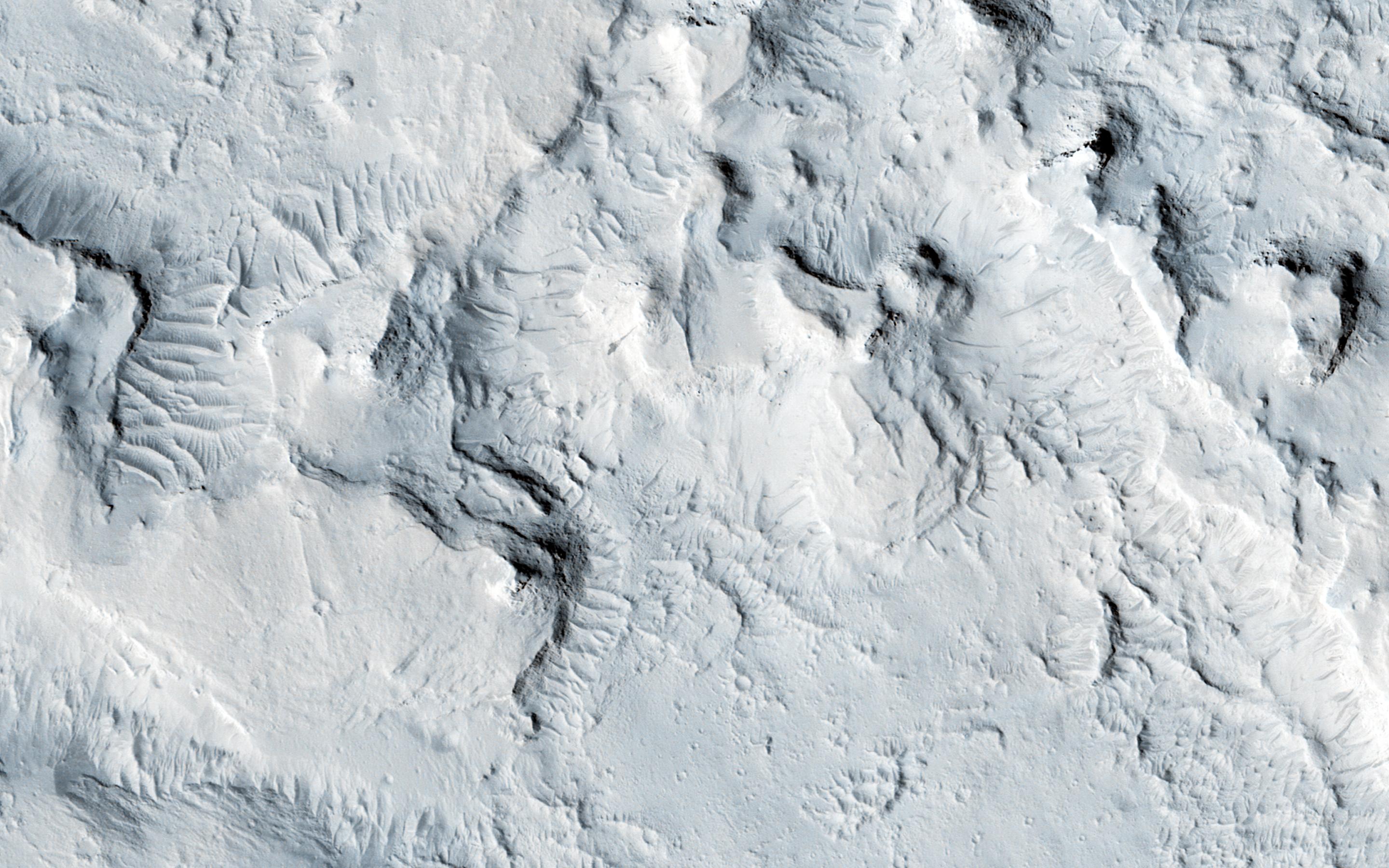
PIA18560:
Honey, I Shrunk the Mesas
Full Resolution:
TIFF
(15.56 MB)
JPEG
(1.017 MB)
2015-05-20
Mars
Mars Reconnaissance Orbiter (MRO)
HiRISE
2880x1800x3
PIA18561:
Seasonal Flows in Asimov Crater
Full Resolution:
TIFF
(15.56 MB)
JPEG
(908.7 kB)
2015-05-20
Mars
Mars Reconnaissance Orbiter (MRO)
HiRISE
2880x1800x3
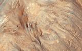
PIA18562:
Sedimentary Rock Layers on a Crater Floor
Full Resolution:
TIFF
(15.56 MB)
JPEG
(773.6 kB)
2015-05-20
Mars
Mars Reconnaissance Orbiter (MRO)
HiRISE
2880x1800x3
PIA18563:
Alluvial Fans in Mojave Crater
Full Resolution:
TIFF
(15.56 MB)
JPEG
(898.5 kB)
2015-05-21
Mars
2001 Mars Odyssey
THEMIS
672x1431x1
PIA19467:
Crater Dunes
Full Resolution:
TIFF
(962.8 kB)
JPEG
(63.91 kB)
2015-05-22
Mars
2001 Mars Odyssey
THEMIS
1343x2647x1
PIA19468:
Mangala Fossae
Full Resolution:
TIFF
(3.559 MB)
JPEG
(275.4 kB)
2015-05-22
Mars
Mars Science Laboratory (MSL)
Mastcam
7984x2383x3
PIA19662:
Unfavorable Terrain for Crossing Near 'Logan Pass'
Full Resolution:
TIFF
(57.1 MB)
JPEG
(2.547 MB)
2015-05-22
Mars
Mars Science Laboratory (MSL)
Navcam (MSL)
954x588x1
PIA19663:
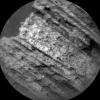
Rover's Reward for Climbing: Exposed Geological Contact
Full Resolution:
TIFF
(561.8 kB)
JPEG
(132.5 kB)
2015-05-22
Mars
Mars Science Laboratory (MSL)
ChemCam
721x722x1
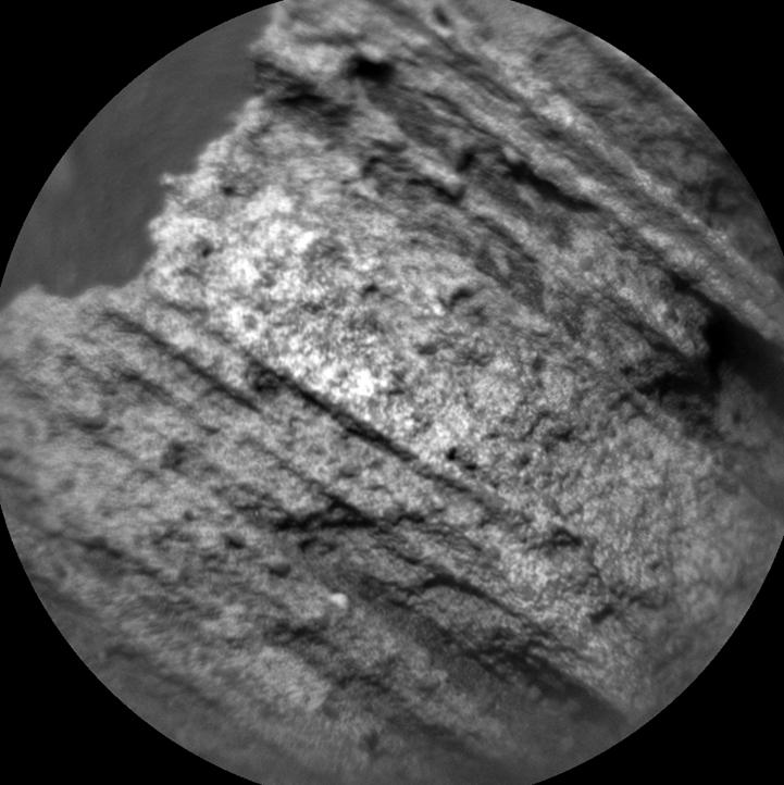
PIA19661:
Auto-Focused on Details in "Yellowjacket" on Mars
Full Resolution:
TIFF
(521.3 kB)
JPEG
(65.33 kB)
2015-05-25
Mars
2001 Mars Odyssey
THEMIS
794x2249x3
PIA19469:
Channel - False Color
Full Resolution:
TIFF
(5.359 MB)
JPEG
(184.7 kB)
2015-05-26
Mars
2001 Mars Odyssey
THEMIS
674x1346x3
PIA19470:
Crater - False Color
Full Resolution:
TIFF
(2.723 MB)
JPEG
(91.94 kB)
2015-05-27
Mars
2001 Mars Odyssey
THEMIS
668x1345x3
PIA19471:
Crater - False Color
Full Resolution:
TIFF
(2.697 MB)
JPEG
(103.3 kB)
2015-05-28
Mars
2001 Mars Odyssey
THEMIS
662x1345x3
PIA19472:
Sirenum Fossae - False Color
Full Resolution:
TIFF
(2.672 MB)
JPEG
(116.5 kB)
2015-05-29
Mars
2001 Mars Odyssey
THEMIS
676x1346x3
PIA19473:
Ganges Chasma - False Color
Full Resolution:
TIFF
(2.731 MB)
JPEG
(66.32 kB)
2015-06-01
Mars
2001 Mars Odyssey
THEMIS
701x1425x1
PIA19474:
Gale Crater
Full Resolution:
TIFF
(1 MB)
JPEG
(80.58 kB)
2015-06-02
Mars
2001 Mars Odyssey
THEMIS
1336x2654x1
PIA19476:
Central Pit Crater
Full Resolution:
TIFF
(3.55 MB)
JPEG
(269.8 kB)
2015-06-03
Mars
2001 Mars Odyssey
THEMIS
1339x2655x1
PIA19477:
Crater Dunes
Full Resolution:
TIFF
(3.559 MB)
JPEG
(429.4 kB)
2015-06-03
Mars
Mars Reconnaissance Orbiter (MRO)
HiRISE
2880x1800x3
PIA11775:
Fill or Mantling Material in a Crater
Full Resolution:
TIFF
(15.56 MB)
JPEG
(1.086 MB)
2015-06-03
Mars
Mars Reconnaissance Orbiter (MRO)
HiRISE
2880x1800x3
PIA11776:
A Mysterious Bright Streak on the South Polar Layered Deposits
Full Resolution:
TIFF
(15.56 MB)
JPEG
(1.307 MB)
2015-06-03
Mars
Mars Reconnaissance Orbiter (MRO)
HiRISE
2880x1800x3
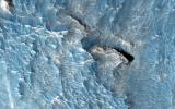
PIA11777:
A Fresh Crater near Sirenum Fossae
Full Resolution:
TIFF
(15.56 MB)
JPEG
(750.4 kB)
2015-06-03
Mars
Mars Reconnaissance Orbiter (MRO)
HiRISE
2880x1800x3
PIA11778:
Gigas Sulci
Full Resolution:
TIFF
(15.56 MB)
JPEG
(675.6 kB)
2015-06-04
Mars
2001 Mars Odyssey
THEMIS
1345x2686x1
PIA19478:
Crater Dunes
Full Resolution:
TIFF
(3.616 MB)
JPEG
(197.1 kB)
2015-06-05
Mars
2001 Mars Odyssey
THEMIS
1351x2632x1
PIA19480:
Lava Flows
Full Resolution:
TIFF
(3.56 MB)
JPEG
(535.5 kB)
2015-06-08
Mars
Mars Reconnaissance Orbiter (MRO)
CRISM
1551x938x3
PIA19673:
Spectral Signals Indicating Impact Glass on Mars
Full Resolution:
TIFF
(4.366 MB)
JPEG
(201.2 kB)
2015-06-08
Mars
2001 Mars Odyssey
THEMIS
678x1346x3
PIA19481:
Candor Chasma - False Color
Full Resolution:
TIFF
(2.739 MB)
JPEG
(104.6 kB)
2015-06-09
Mars
2001 Mars Odyssey
THEMIS
786x2251x3
PIA19482:
Flaugergues Crater - False Color
Full Resolution:
TIFF
(5.31 MB)
JPEG
(187.9 kB)
2015-06-10
Mars
2001 Mars Odyssey
THEMIS
667x1344x3
PIA19483:
Terra Sabaea - False Color
Full Resolution:
TIFF
(2.69 MB)
JPEG
(145.4 kB)
2015-06-10
Mars
Mars 2020 Rover
960x485x3
PIA19150:
Adaptive Caching Concept
Full Resolution:
TIFF
(1.398 MB)
JPEG
(65.26 kB)
2015-06-10
Mars
Mars 2020 Rover
2000x1500x3
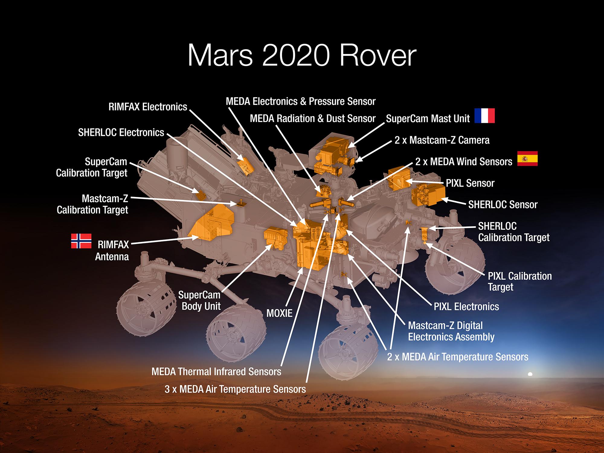
PIA19672:
Science Instruments on NASA's Mars 2020 Rover
Full Resolution:
TIFF
(9.003 MB)
JPEG
(330.3 kB)
2015-06-11
Mars
2001 Mars Odyssey
THEMIS
783x2259x3
PIA19484:
Coracis Fossae - False Color
Full Resolution:
TIFF
(5.308 MB)
JPEG
(129 kB)
2015-06-12
Mars
2001 Mars Odyssey
THEMIS
791x2253x3
PIA19485:
Crater - False Color
Full Resolution:
TIFF
(5.348 MB)
JPEG
(177.8 kB)
2015-06-15
Mars
2001 Mars Odyssey
THEMIS
785x2252x3
PIA19486:
Terra Sabaea - False Color
Full Resolution:
TIFF
(5.305 MB)
JPEG
(192.9 kB)
2015-06-16
Mars
2001 Mars Odyssey
THEMIS
795x2248x3
PIA19487:
Terra Cimmeria - False Color
Full Resolution:
TIFF
(5.364 MB)
JPEG
(168.3 kB)
2015-06-17
Mars
2001 Mars Odyssey
THEMIS
670x1342x3
PIA19488:
Huygens Crater - False Color
Full Resolution:
TIFF
(2.699 MB)
JPEG
(154 kB)
2015-06-17
Mars
Mars Reconnaissance Orbiter (MRO)
HiRISE
2880x1800x3
PIA19843:
Active High-Latitude Dune-Gullies
Full Resolution:
TIFF
(15.56 MB)
JPEG
(1.001 MB)
2015-06-17
Mars
Mars Reconnaissance Orbiter (MRO)
HiRISE
2880x1800x3
PIA19844:
A Light Toned Deposit in Aureum Chaos
Full Resolution:
TIFF
(15.56 MB)
JPEG
(831 kB)
2015-06-17
Mars
Mars Reconnaissance Orbiter (MRO)
HiRISE
2880x1800x3
PIA19845:
A Fan-Shaped Landform and Nearby Light-Toned Material
Full Resolution:
TIFF
(15.56 MB)
JPEG
(1.015 MB)
2015-06-17
Mars
Mars Reconnaissance Orbiter (MRO)
HiRISE
2880x1800x3
PIA19846:
Cloudy Skies over Hypanis Vallis
Full Resolution:
TIFF
(15.56 MB)
JPEG
(733.3 kB)
2015-06-18
Mars
2001 Mars Odyssey
THEMIS
669x1342x3
PIA19489:
Pit Crater - False Color
Full Resolution:
TIFF
(2.695 MB)
JPEG
(86.71 kB)
2015-06-19
Mars
2001 Mars Odyssey
THEMIS
670x1343x3
PIA19490:
Crater - False Color
Full Resolution:
TIFF
(2.701 MB)
JPEG
(112.5 kB)
2015-06-19
Mars
2001 Mars Odyssey
THEMIS
2965x3706x3
PIA19674:
Gale Crater's Surface Materials
Full Resolution:
TIFF
(32.98 MB)
JPEG
(2.5 MB)
2015-06-19
Mars
2001 Mars Odyssey
THEMIS
2236x6202x3
PIA19675:
Morning Clouds Atop Martian Mountain
Full Resolution:
TIFF
(41.62 MB)
JPEG
(579.3 kB)
2015-06-22
Mars
2001 Mars Odyssey
THEMIS
666x1341x3
PIA19491:
Morava Valles - False Color
Full Resolution:
TIFF
(2.68 MB)
JPEG
(119.4 kB)
2015-06-23
Mars
2001 Mars Odyssey
THEMIS
665x1341x3
PIA19493:
Ostrov Crater - False Color
Full Resolution:
TIFF
(2.676 MB)
JPEG
(100.7 kB)
2015-06-24
Mars
2001 Mars Odyssey
THEMIS
673x1343x3
PIA19494:
Crater - False Color
Full Resolution:
TIFF
(2.713 MB)
JPEG
(94.3 kB)
2015-06-25
Mars
2001 Mars Odyssey
THEMIS
666x1342x3
PIA19495:
Crater - False Color
Full Resolution:
TIFF
(2.682 MB)
JPEG
(123.2 kB)
2015-06-26
Mars
2001 Mars Odyssey
THEMIS
668x1341x3
PIA19496:
Saheki Crater - False Color
Full Resolution:
TIFF
(2.688 MB)
JPEG
(110.6 kB)
2015-06-29
Mars
2001 Mars Odyssey
THEMIS
1348x2642x1
PIA19498:
Windstreaks
Full Resolution:
TIFF
(3.565 MB)
JPEG
(491.3 kB)
2015-06-30
Mars
2001 Mars Odyssey
THEMIS
1338x2665x1
PIA19499:
Channel
Full Resolution:
TIFF
(3.57 MB)
JPEG
(217.4 kB)
2015-07-01
Mars
2001 Mars Odyssey
THEMIS
1329x2666x1
PIA19500:
Channel and Delta
Full Resolution:
TIFF
(3.547 MB)
JPEG
(268.4 kB)
2015-07-01
Mars
Mars Science Laboratory (MSL)
Mastcam
3946x2455x3
PIA19676:
Geological Contact Zone Near 'Marias Pass' on Mars
Full Resolution:
TIFF
(29.07 MB)
JPEG
(1.592 MB)
2015-07-01
Mars
Mars Science Laboratory (MSL)
MAHLI
1584x1184x3
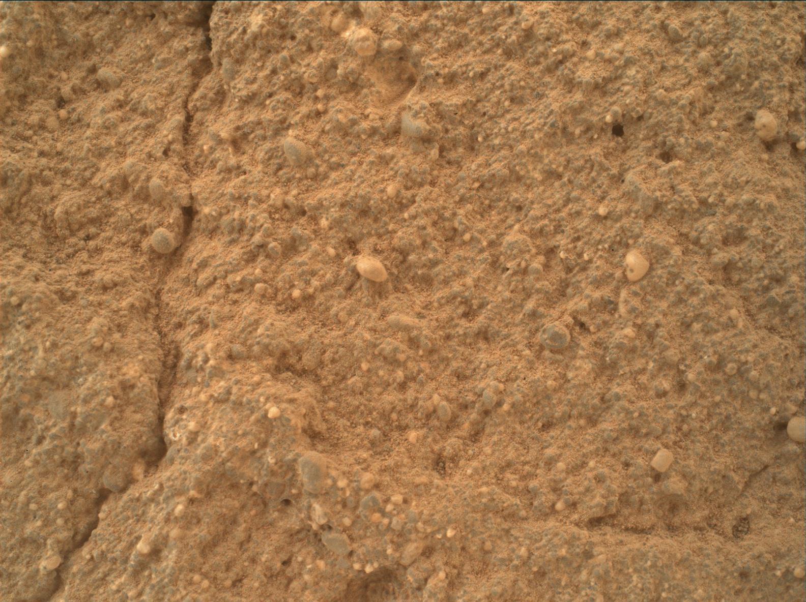
PIA19677:
Diverse Grains in Mars Sandstone Target 'Big Arm'
Full Resolution:
TIFF
(5.628 MB)
JPEG
(332.3 kB)
2015-07-01
Mars
Mars Science Laboratory (MSL)
Navcam (MSL)
7729x2563x3
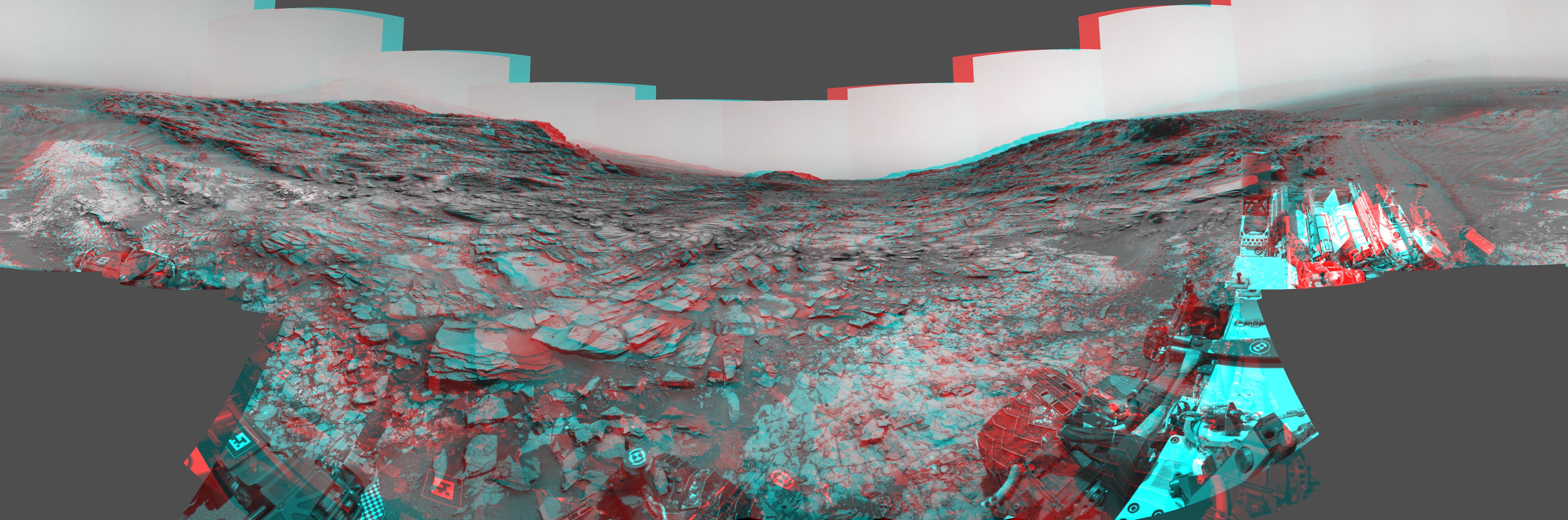
PIA19678:
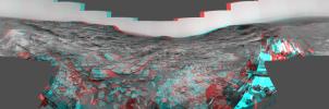
Panorama from Curiosity's Sol 1000 Location (Stereo)
Full Resolution:
TIFF
(59.45 MB)
JPEG
(2.315 MB)
2015-07-01
Mars
Mars Science Laboratory (MSL)
Navcam (MSL)
7729x2563x1
PIA19679:
Panorama from Curiosity's Sol 1000 Location
Full Resolution:
TIFF
(19.83 MB)
JPEG
(2.221 MB)
2015-07-01
Mars
Mars Reconnaissance Orbiter (MRO)
HiRISE
2880x1800x3
PIA19848:
Searching for Clinoforms in a Possible Delta
Full Resolution:
TIFF
(15.56 MB)
JPEG
(693.4 kB)
2015-07-01
Mars
Mars Reconnaissance Orbiter (MRO)
HiRISE
2880x1800x3
PIA19849:
Pedestal Crater Development
Full Resolution:
TIFF
(15.56 MB)
JPEG
(764.6 kB)
2015-07-01
Mars
Mars Reconnaissance Orbiter (MRO)
HiRISE
2880x1800x3
PIA19850:
A Channel System and Patterned Ground near Hellas Basin
Full Resolution:
TIFF
(15.56 MB)
JPEG
(1.198 MB)
2015-07-01
Mars
Mars Reconnaissance Orbiter (MRO)
HiRISE
2880x1800x3
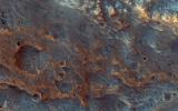
PIA19851:
Clay-Rich Terrain in Oxia Planum: A Proposed ExoMars Landing Site
Full Resolution:
TIFF
(15.56 MB)
JPEG
(1.42 MB)
2015-07-02
Mars
2001 Mars Odyssey
THEMIS
1368x2639x1
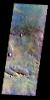
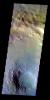
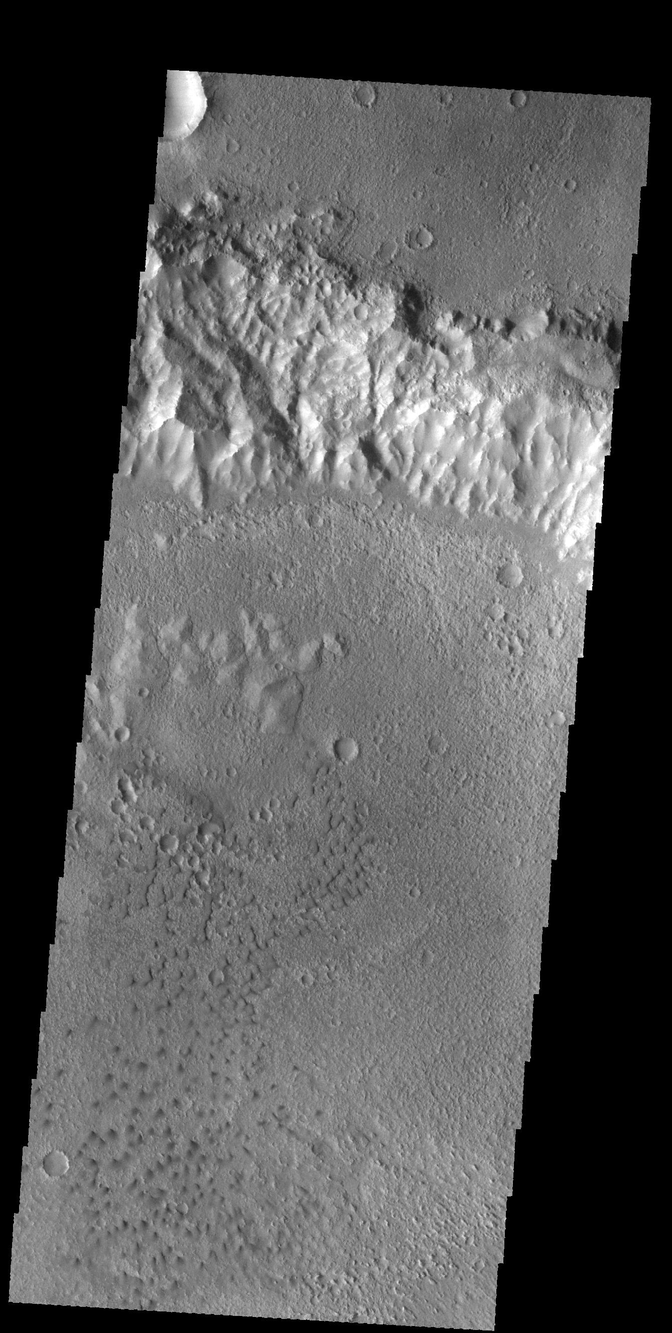
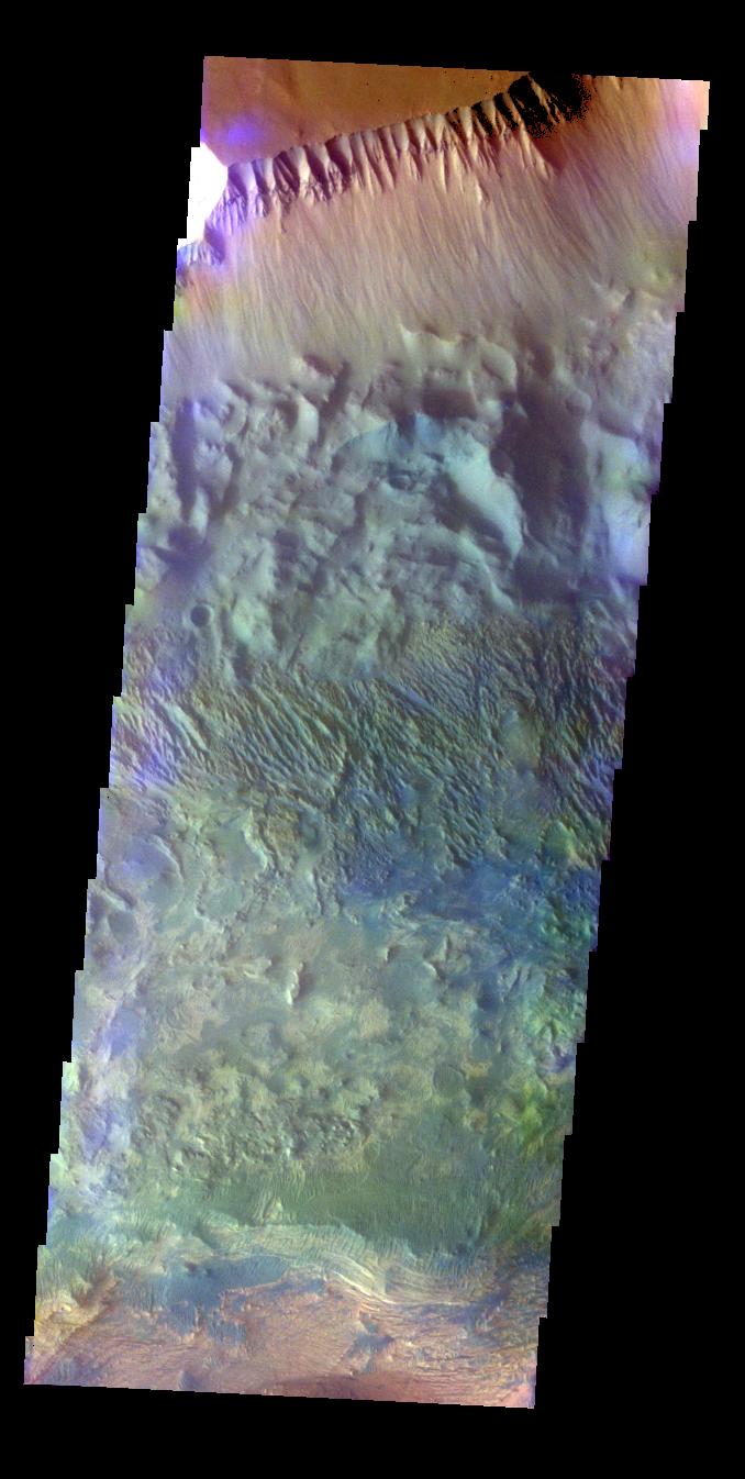
PIA19502:
Wind Erosion
Full Resolution:
TIFF
(3.615 MB)
JPEG
(451.6 kB)
2015-07-03
Mars
2001 Mars Odyssey
THEMIS
1341x2650x1
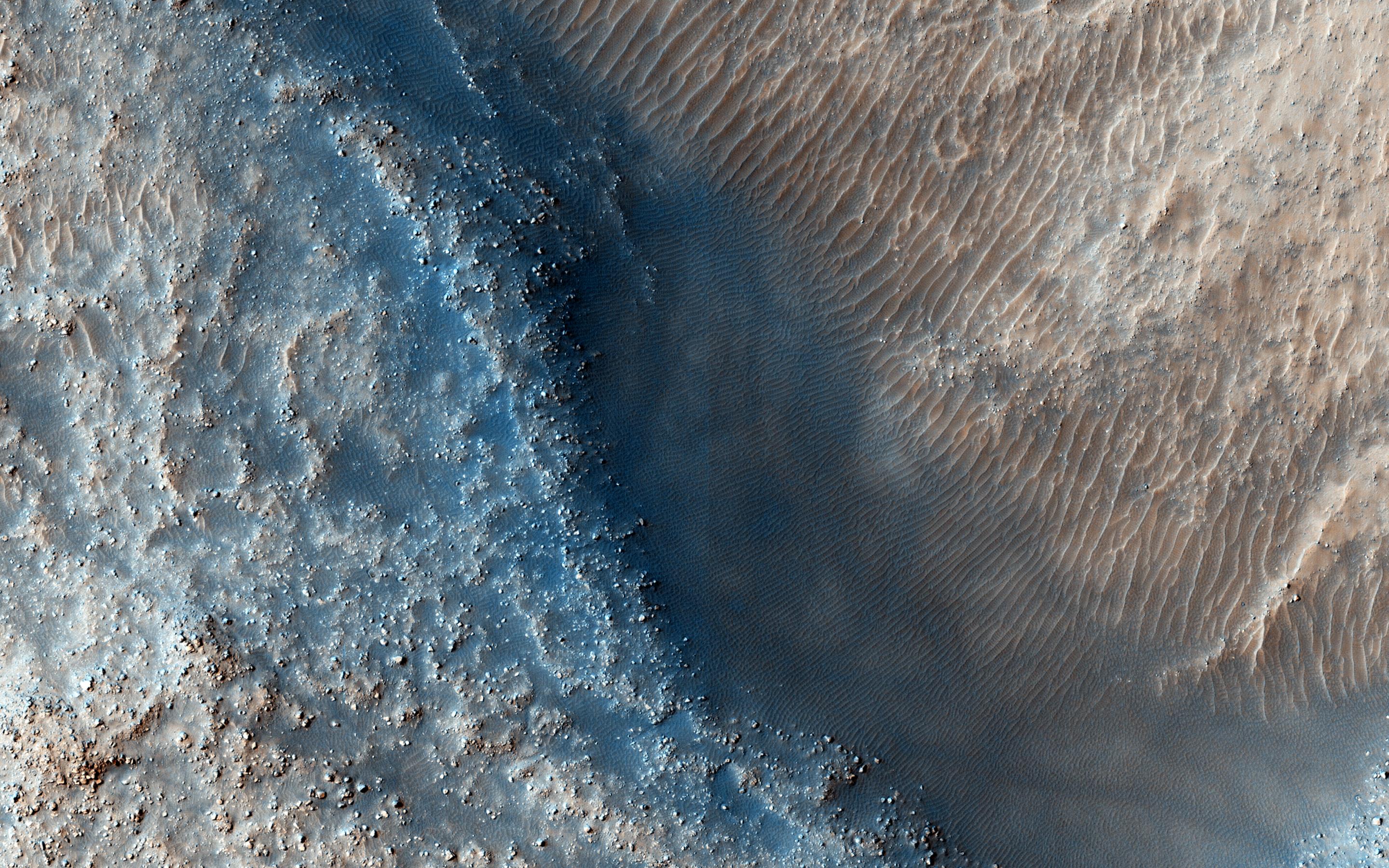
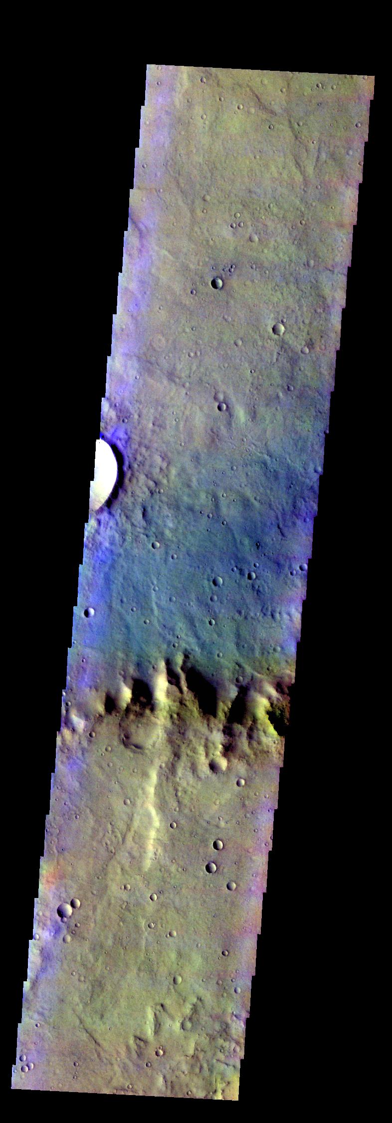
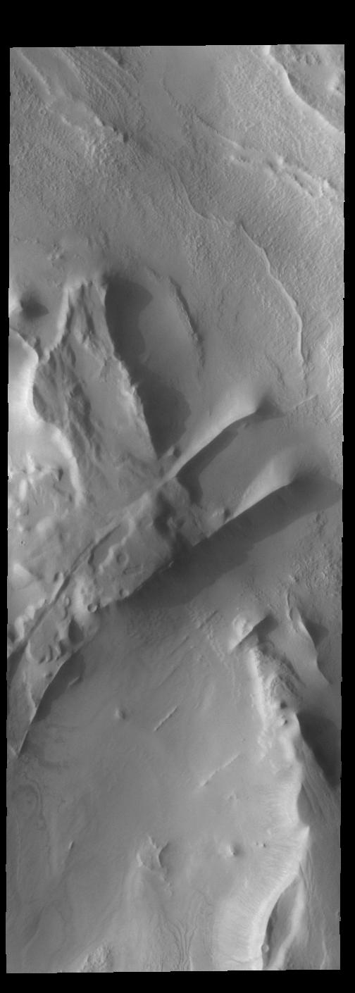
PIA19503:
Sirenum Fossae
Full Resolution:
TIFF
(3.557 MB)
JPEG
(190.8 kB)
2015-07-06
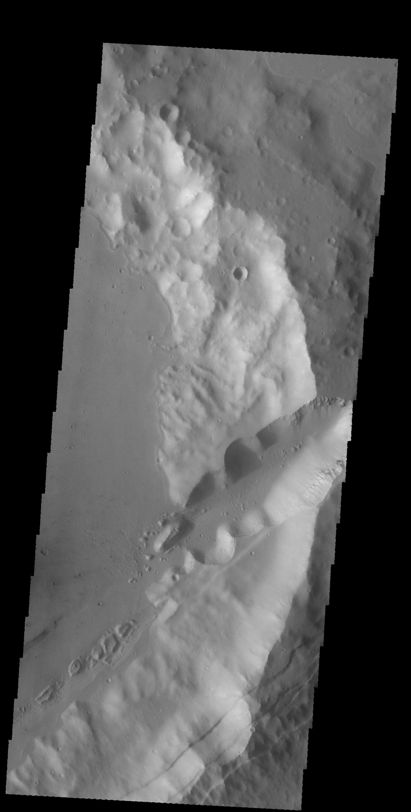
Mars
2001 Mars Odyssey
THEMIS
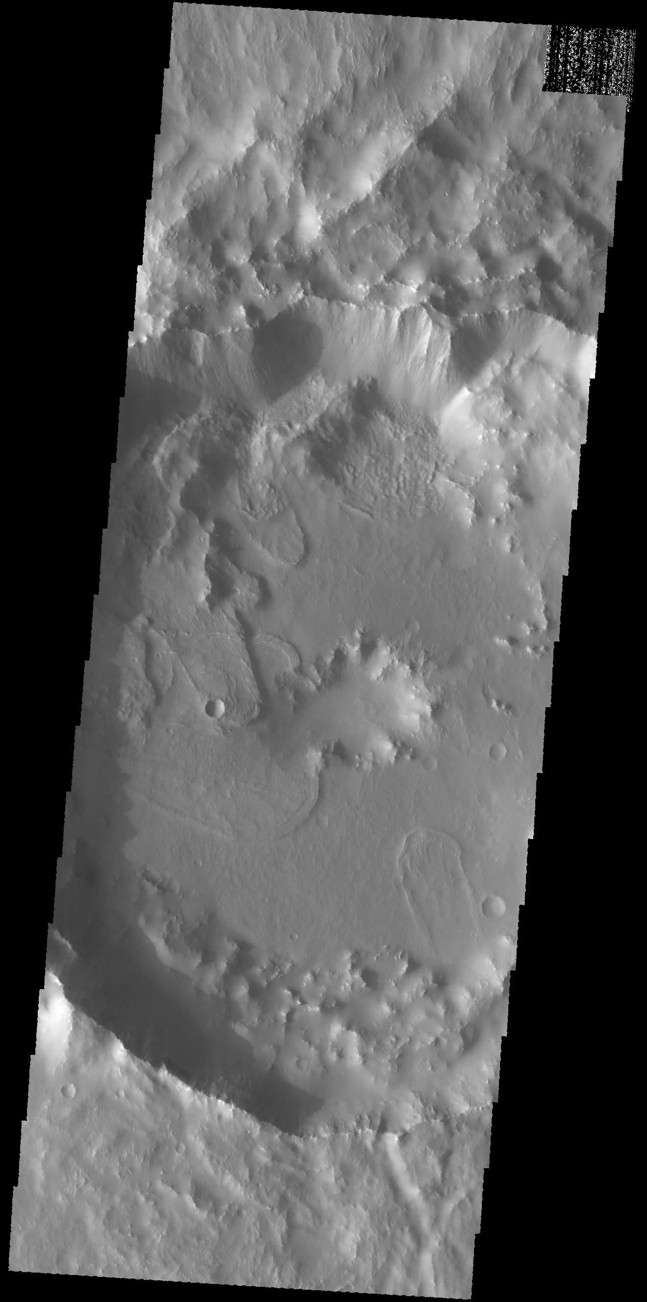
1339x2671x1
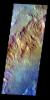
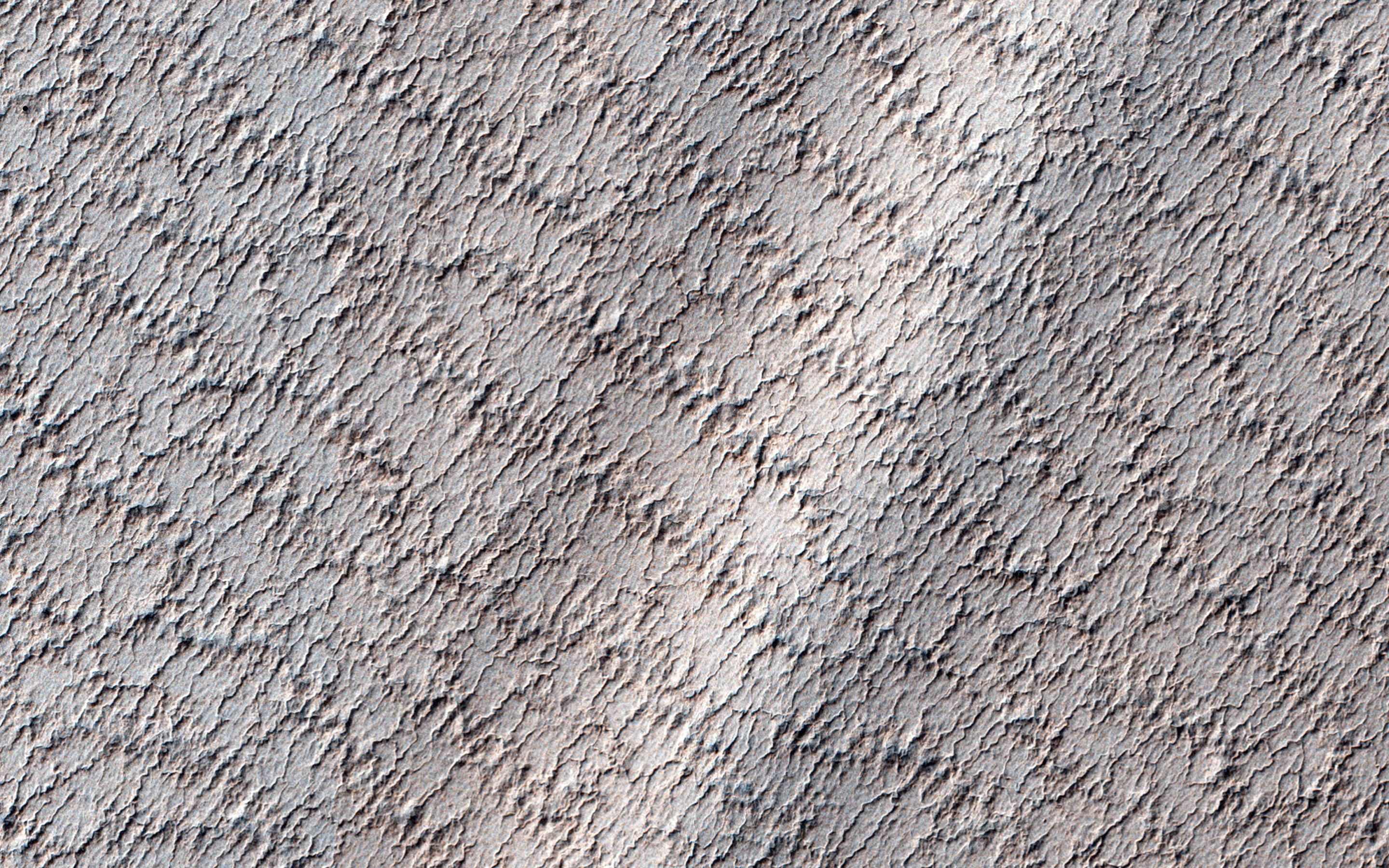
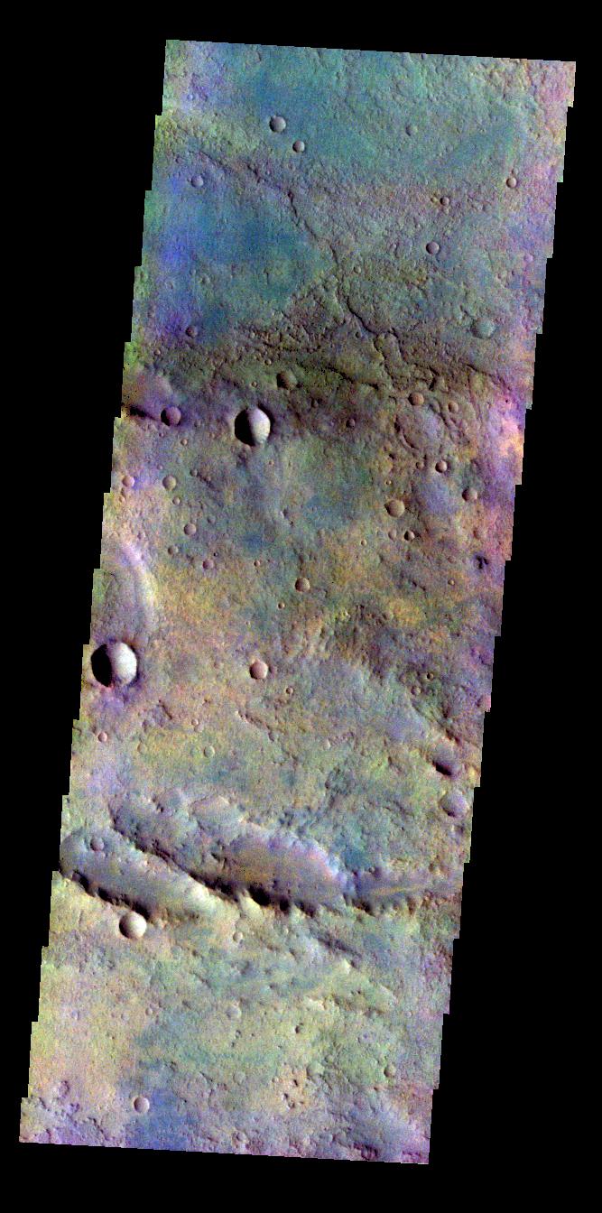
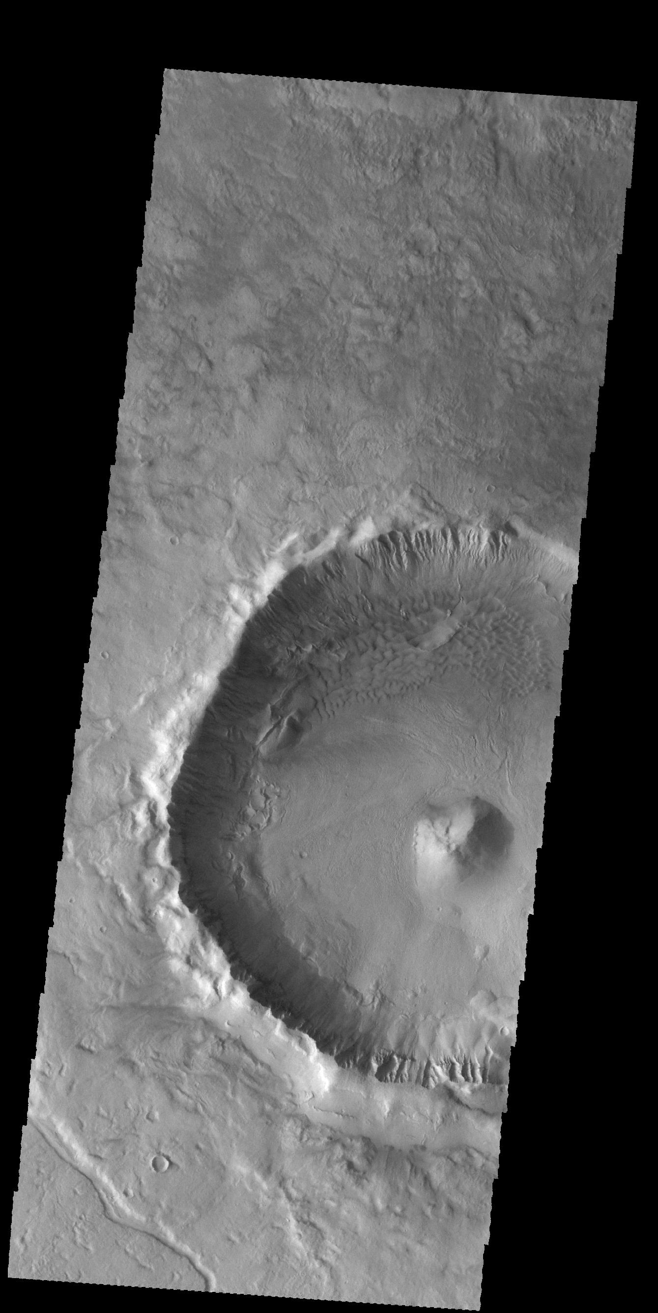
PIA19504:
Crater Features
Full Resolution:
TIFF
(3.58 MB)
JPEG
(299.3 kB)
2015-07-07
Mars
2001 Mars Odyssey
THEMIS
1320x2655x1
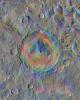
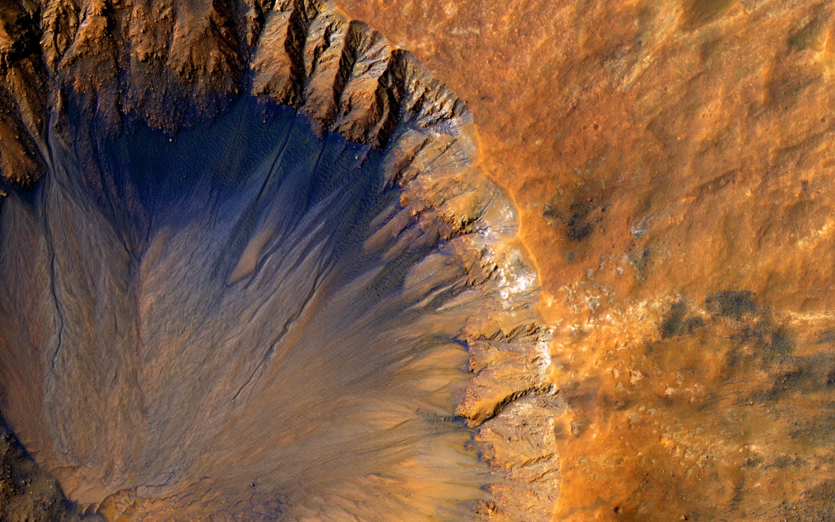
PIA19505:
Tugaske Crater
Full Resolution:
TIFF
(3.508 MB)
JPEG
(242.2 kB)
2015-07-08
Mars
2001 Mars Odyssey
THEMIS
1005x2653x1
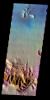
PIA19720:
Summer's End
Full Resolution:
TIFF
(2.669 MB)
JPEG
(173.5 kB)
2015-07-09
Mars
2001 Mars Odyssey
THEMIS
504x1410x1
PIA19721:
Cavi Angusti
Full Resolution:
TIFF
(711.6 kB)
JPEG
(59.86 kB)
2015-07-10
Mars
2001 Mars Odyssey
THEMIS
676x1414x1
PIA19722:
Daedalia Planum
Full Resolution:
TIFF
(957 kB)
JPEG
(139.9 kB)
2015-07-13
Mars
2001 Mars Odyssey
THEMIS
780x2251x3
PIA19723:
Terra Sabaea - False Color
Full Resolution:
TIFF
(5.269 MB)
JPEG
(202.9 kB)
2015-07-14
Mars
2001 Mars Odyssey
THEMIS
670x1347x3
PIA19724:
Noachis Terra - False Color
Full Resolution:
TIFF
(2.709 MB)
JPEG
(110.7 kB)
2015-07-15
Mars
2001 Mars Odyssey
THEMIS
662x1345x3
PIA19725:
Terra Cimmeria - False Color
Full Resolution:
TIFF
(2.672 MB)
JPEG
(118.3 kB)
2015-07-15
Mars
Mars Reconnaissance Orbiter (MRO)
HiRISE
2880x1800x3
PIA19852:
Frosty Gullies on the Northern Plains
Full Resolution:
TIFF
(15.56 MB)
JPEG
(857.7 kB)
2015-07-15
Mars
Mars Reconnaissance Orbiter (MRO)
HiRISE
2880x1800x3
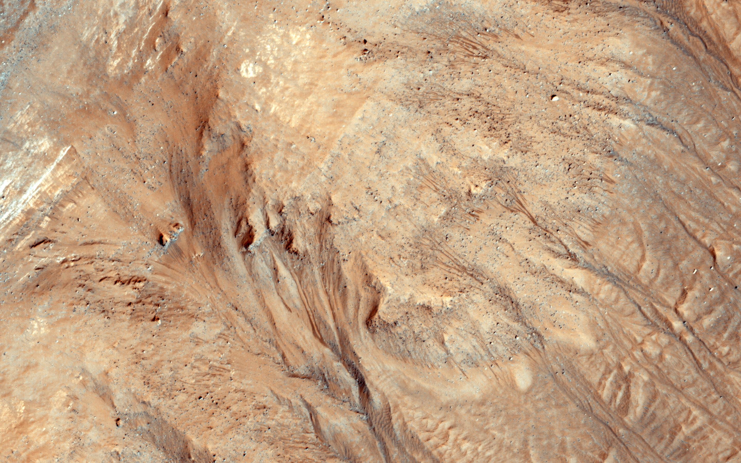
PIA19853:
Potential Active Processes in Porter Crater
Full Resolution:
TIFF
(15.56 MB)
JPEG
(976.9 kB)
2015-07-15
Mars
Mars Reconnaissance Orbiter (MRO)
HiRISE
2880x1800x3
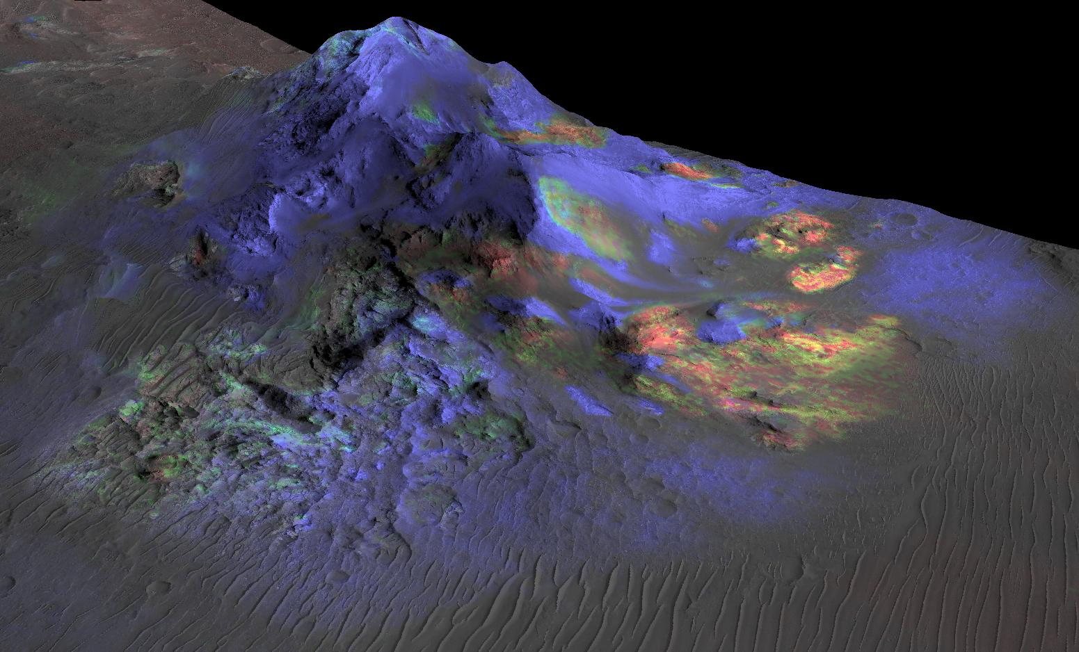
PIA19854:
Purple Mountain's Majesty
Full Resolution:
TIFF
(15.56 MB)
JPEG
(731.7 kB)
2015-07-15
Mars
Mars Reconnaissance Orbiter (MRO)
HiRISE
2880x1800x3
PIA19855:
Sedimentary Deposits within Ius Chasma
Full Resolution:
TIFF
(15.56 MB)
JPEG
(1.057 MB)
2015-07-16
Mars
2001 Mars Odyssey
THEMIS
666x1344x3
PIA19726:
Solis Planum - False Color
Full Resolution:
TIFF
(2.686 MB)
JPEG
(107.5 kB)
2015-07-17
Mars
2001 Mars Odyssey
THEMIS
665x1344x3
PIA19728:
Crater Dunes - False Color
Full Resolution:
TIFF
(2.682 MB)
JPEG
(99.92 kB)
2015-07-20
Mars
2001 Mars Odyssey
THEMIS
674x1343x3
PIA19729:
Margaritifer Terra - False Color
Full Resolution:
TIFF
(2.717 MB)
JPEG
(115.4 kB)
2015-07-21
Mars
2001 Mars Odyssey
THEMIS
673x1344x3
PIA19730:
Highland Margin - False Color
Full Resolution:
TIFF
(2.715 MB)
JPEG
(76.95 kB)
1-100
101-200
201-300
301-400
401-500
501-600
601-700
701-800
801-900
901-1000
Currently displaying images:
9001 - 9100
of 12760


