
Map Projected Browse Image
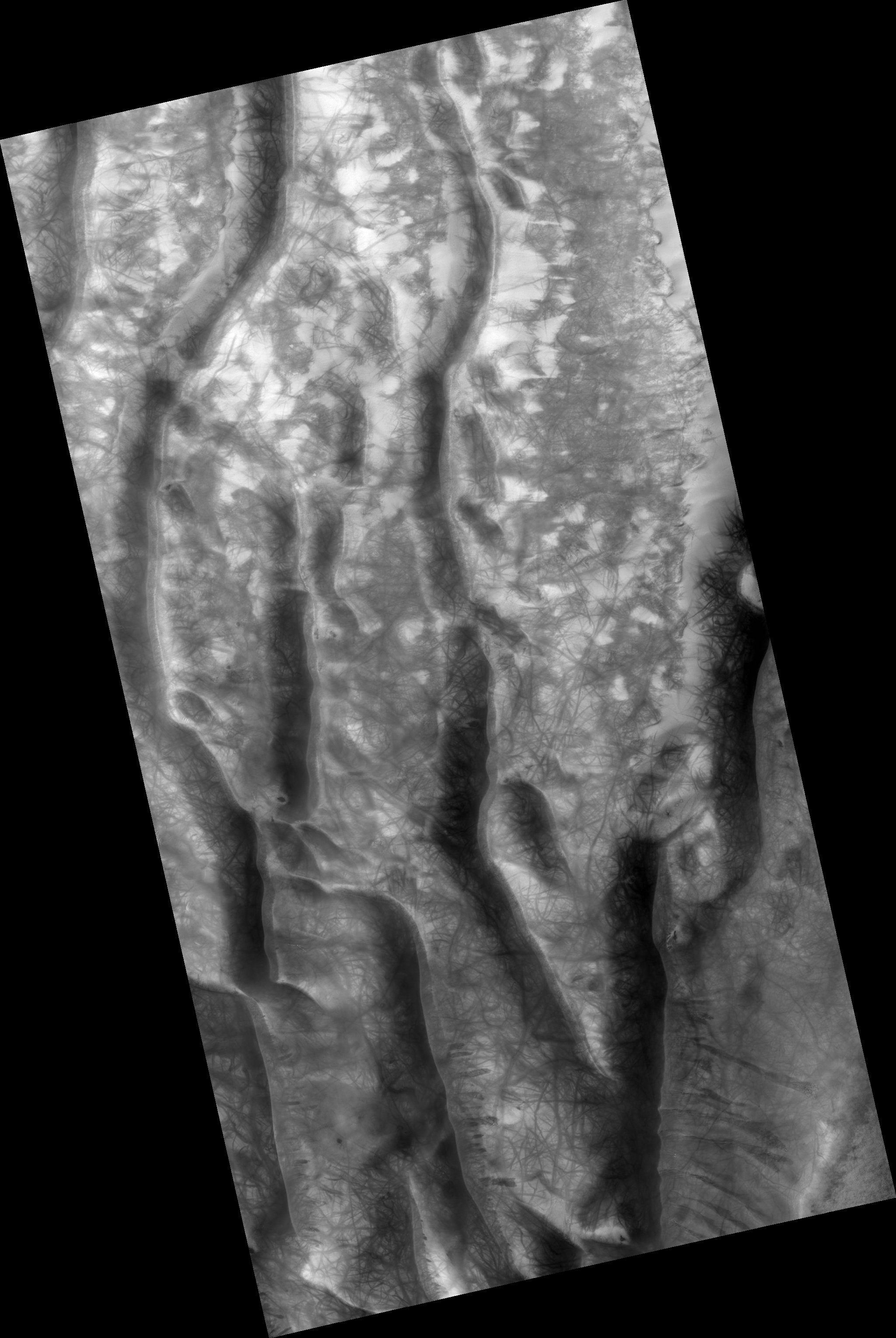
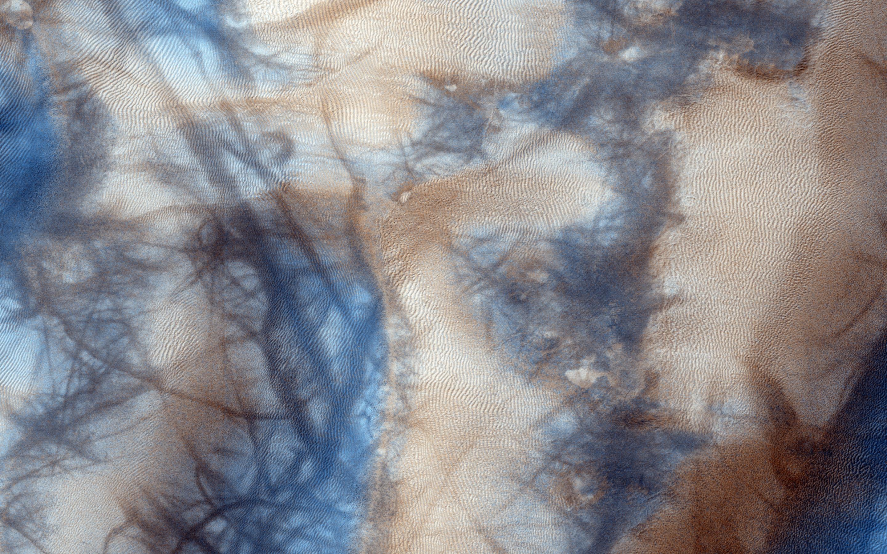
Click on the image for larger versionGully and defrosting activity have been visible here along the edge of a dune field, along with blocks of frost. Observations of the same area help us check for repeat activity, as well as measuring those meter-scale blocks that we've seen prior.
In this case, we want to compare any possible changes with a previous observation, which we acquired in 2011. We've also seen images where carbon dioxide frost was the driving process in creating new gullies, so we know their formation is occurring to this day. Tracking for changes, especially when we look at the 1-kilometer enhanced color swath, can help us find more.
This caption is based on the original science rationale.
The University of Arizona, Tucson, operates HiRISE, which was built by Ball Aerospace & Technologies Corp., Boulder, Colorado. NASA's Jet Propulsion Laboratory, a division of the California Institute of Technology in Pasadena, manages the Mars Reconnaissance Orbiter Project and Mars Science Laboratory Project for NASA's Science Mission Directorate, Washington.
