Your search criteria found
1671
images
Target is Mars (and available satellites)
Go to PIAxxxxx:
Refine this list of images by:
Target:
Deimos
Mars
Phobos
Spacecraft:
Curiosity
Mars Reconnaissance Orbiter (MRO)
Mars Science Laboratory (MSL)
Opportunity
Phoenix Lander
Instrument:
Compact Reconnaissance Imaging Spectrometer for Mars (CRISM)
Context Camera (CTX)
High Resolution Imaging Science Experiment (HiRISE)
Mars Climate Sounder (MCS)
Mars Color Imager (MARCI)
Mars Orbiter Laser Altimeter
Optical Navigation Camera
Shallow Subsurface Radar (SHARAD)
Click on an image for detailed information
Click on a column heading to sort in ascending or descending order
My
List
Addition Date
Target
Mission
Instrument
Size
2016-11-09
Mars
Mars Reconnaissance Orbiter (MRO)
HiRISE
2048x1536x3
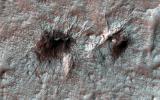
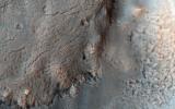
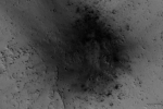
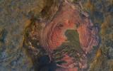
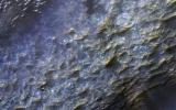
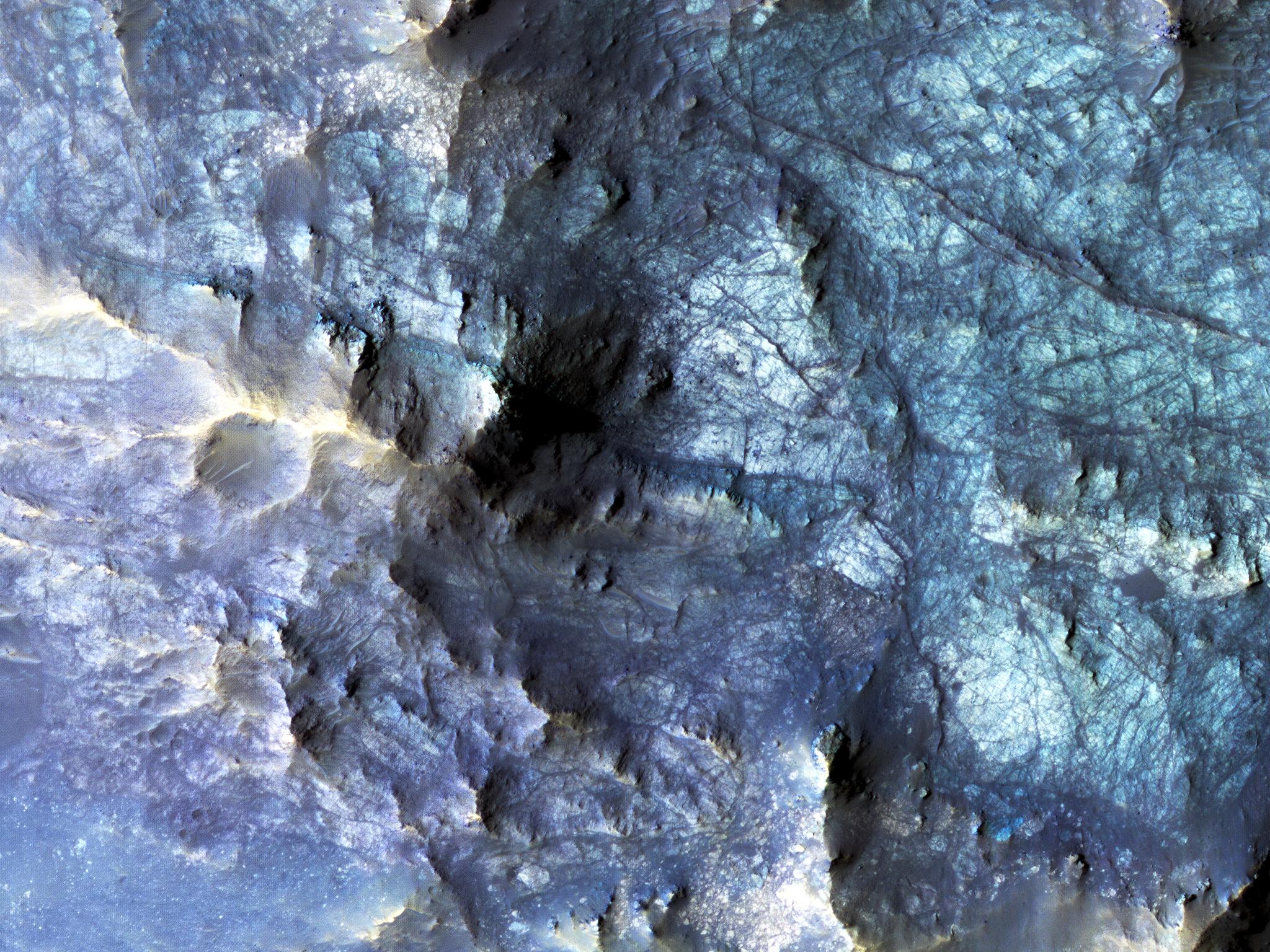
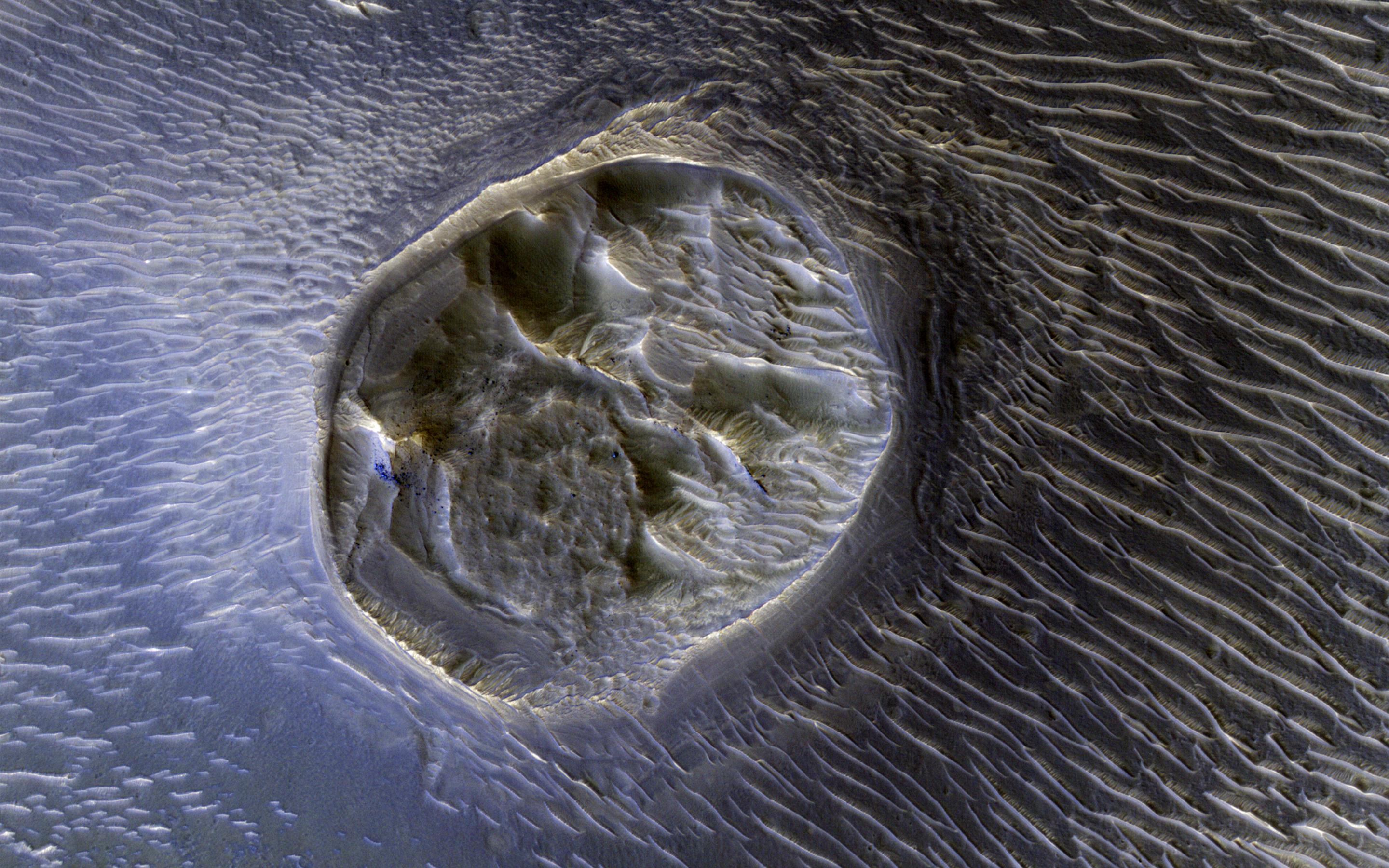
PIA21205:
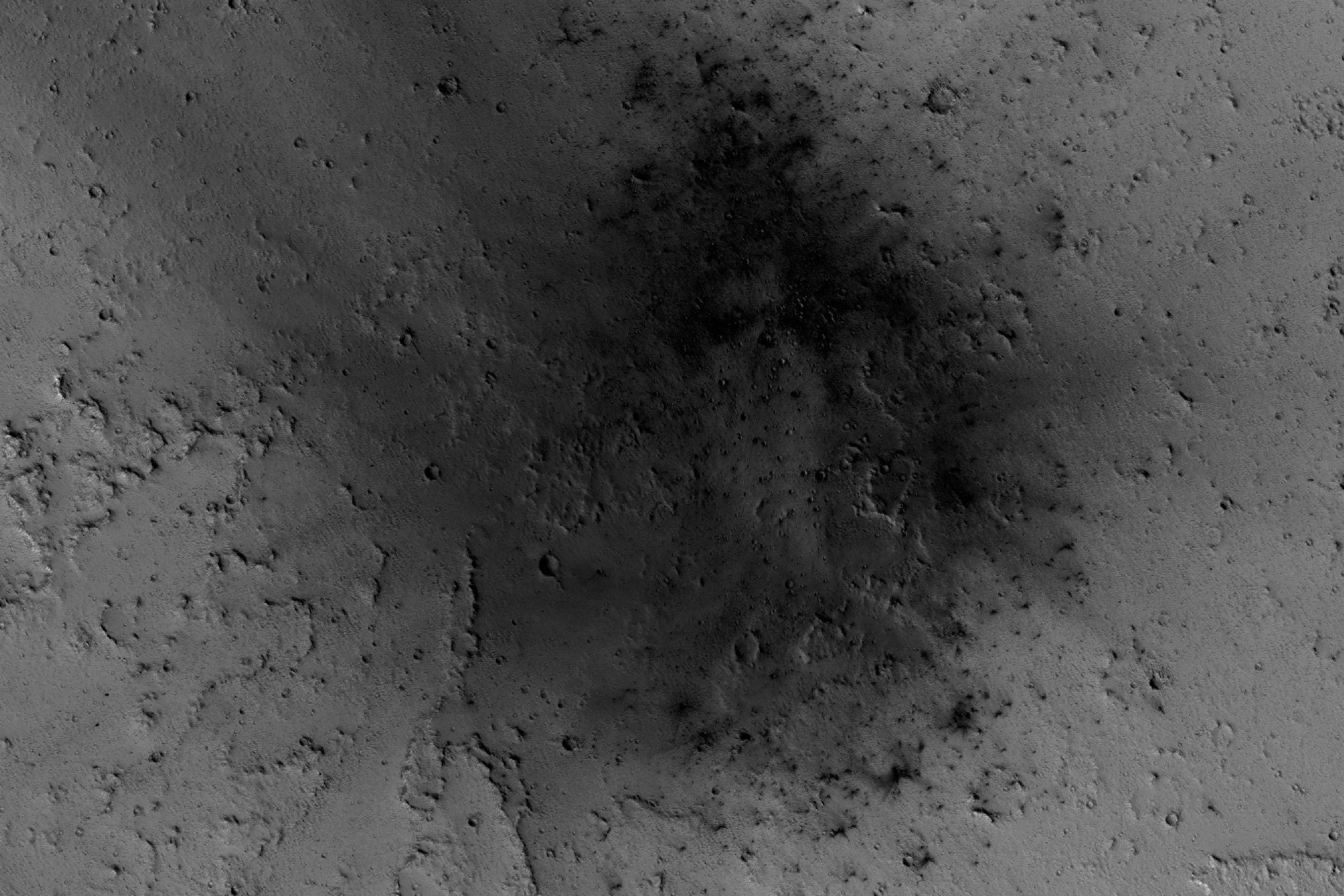
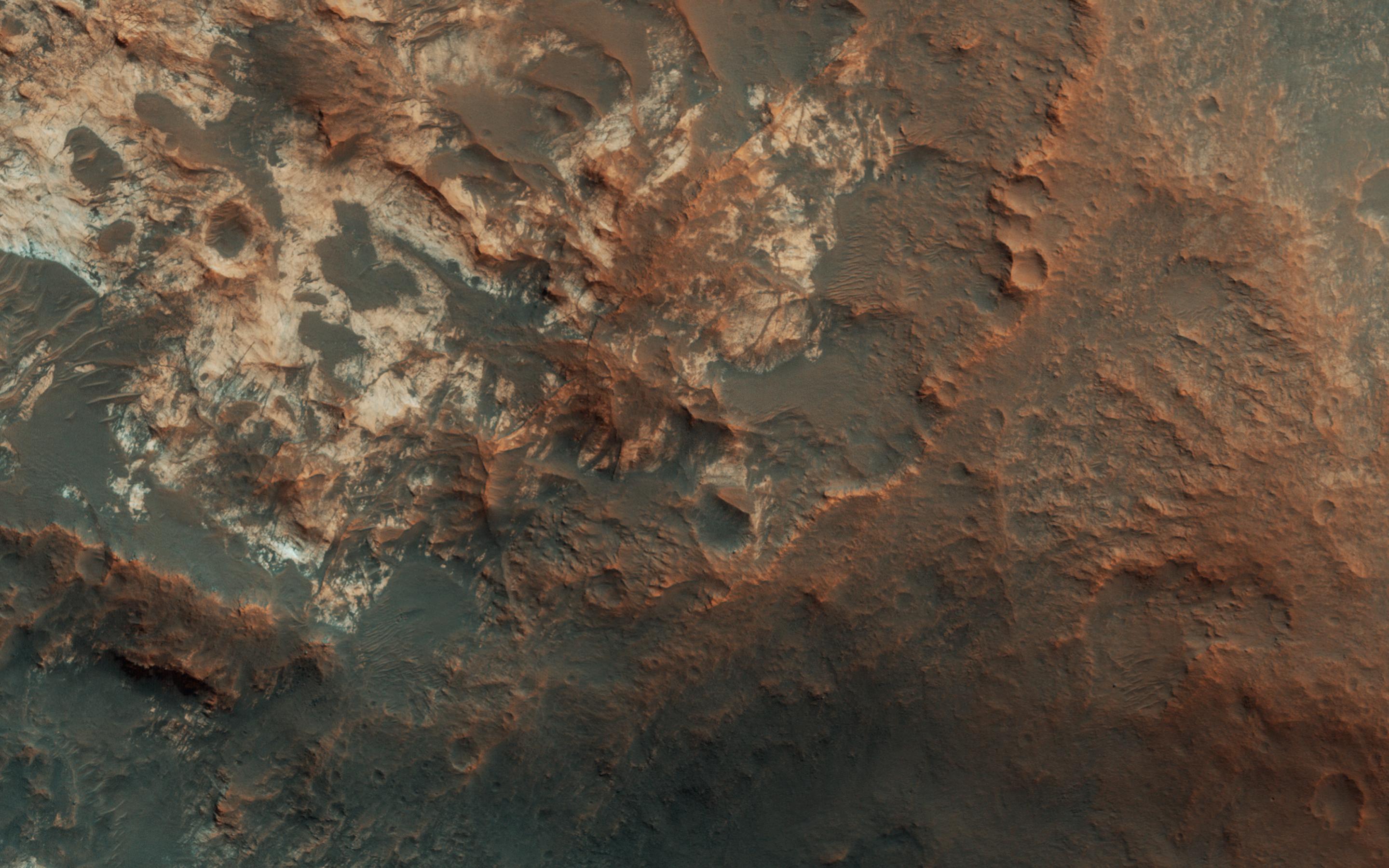
Exposed Fractured Bedrock in the Central Pit of a Crater
Full Resolution:
TIFF
(9.44 MB)
JPEG
(711.7 kB)
2016-11-09
Mars
Mars Reconnaissance Orbiter (MRO)
HiRISE
2048x1536x3
PIA21206:
A Glimpse into History
Full Resolution:
TIFF
(9.44 MB)
JPEG
(889.5 kB)
2016-11-15
Mars
Mars Reconnaissance Orbiter (MRO)
HiRISE
763x968x3
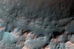
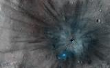
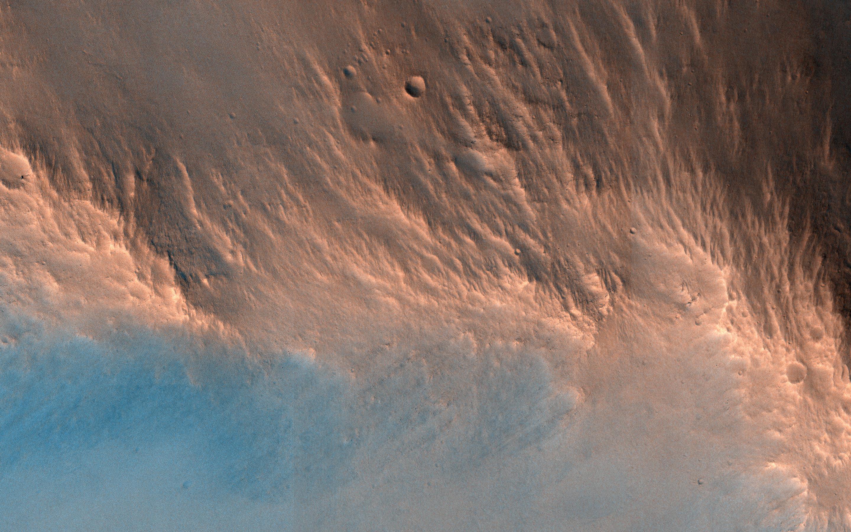
PIA21135:
Schiaparelli Impact Site on Mars, Stereo
Full Resolution:
TIFF
(1.385 MB)
JPEG
(70.24 kB)
2016-11-22
Mars
Mars Reconnaissance Orbiter (MRO)
HiRISE
640x398x1
PIA21136:
Scalloped Terrain Led to Finding of Buried Ice on Mars
Full Resolution:
TIFF
(255.2 kB)
JPEG
(57.89 kB)
2016-12-07
Mars
Mars Reconnaissance Orbiter (MRO)
HiRISE
2880x1800x3
PIA21214:
Painting with Frost
Full Resolution:
TIFF
(15.56 MB)
JPEG
(806.3 kB)
2016-12-07
Mars
Mars Reconnaissance Orbiter (MRO)
HiRISE
2880x1800x3
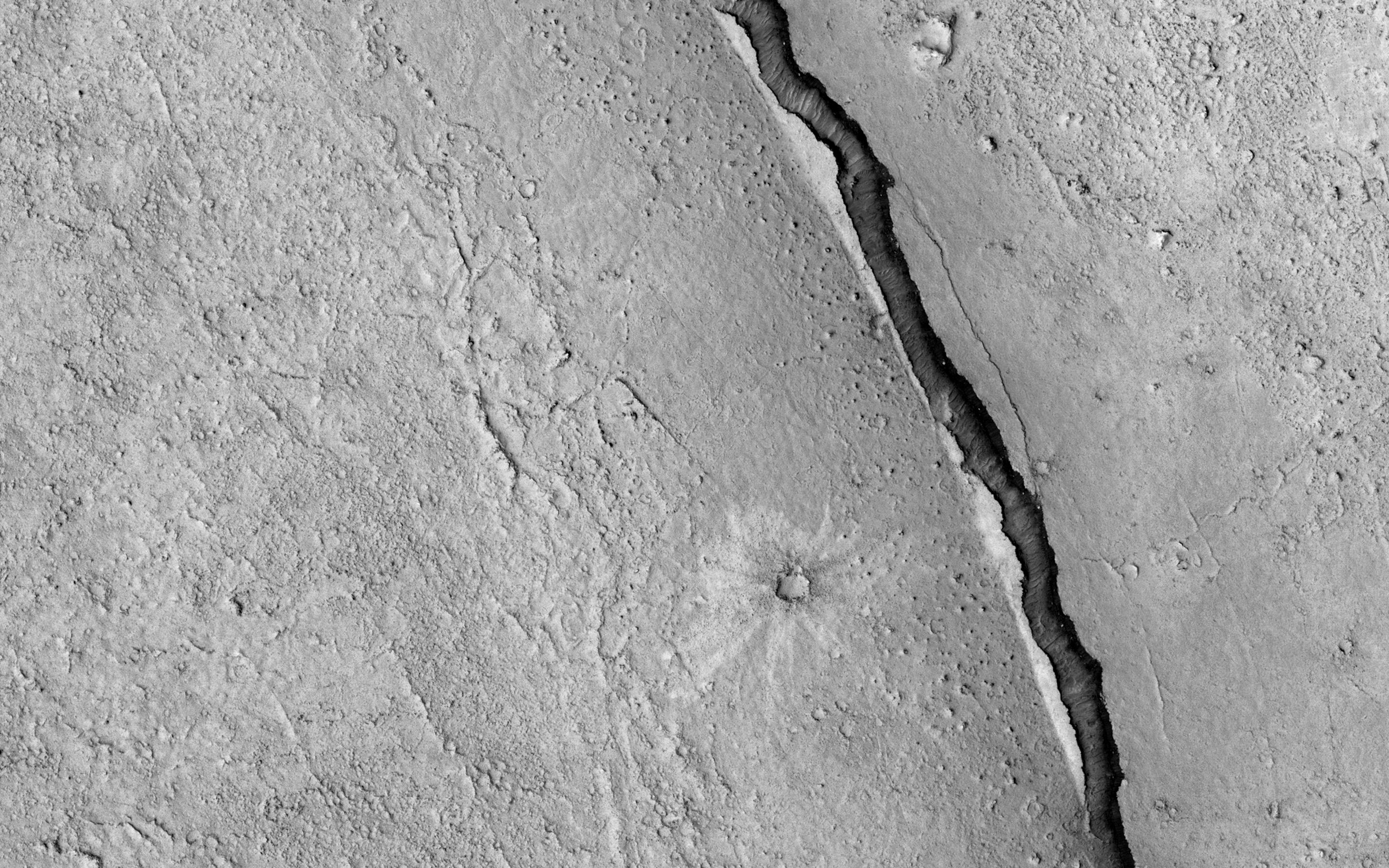
PIA21215:
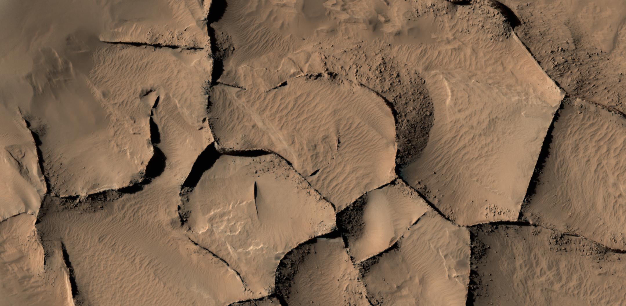
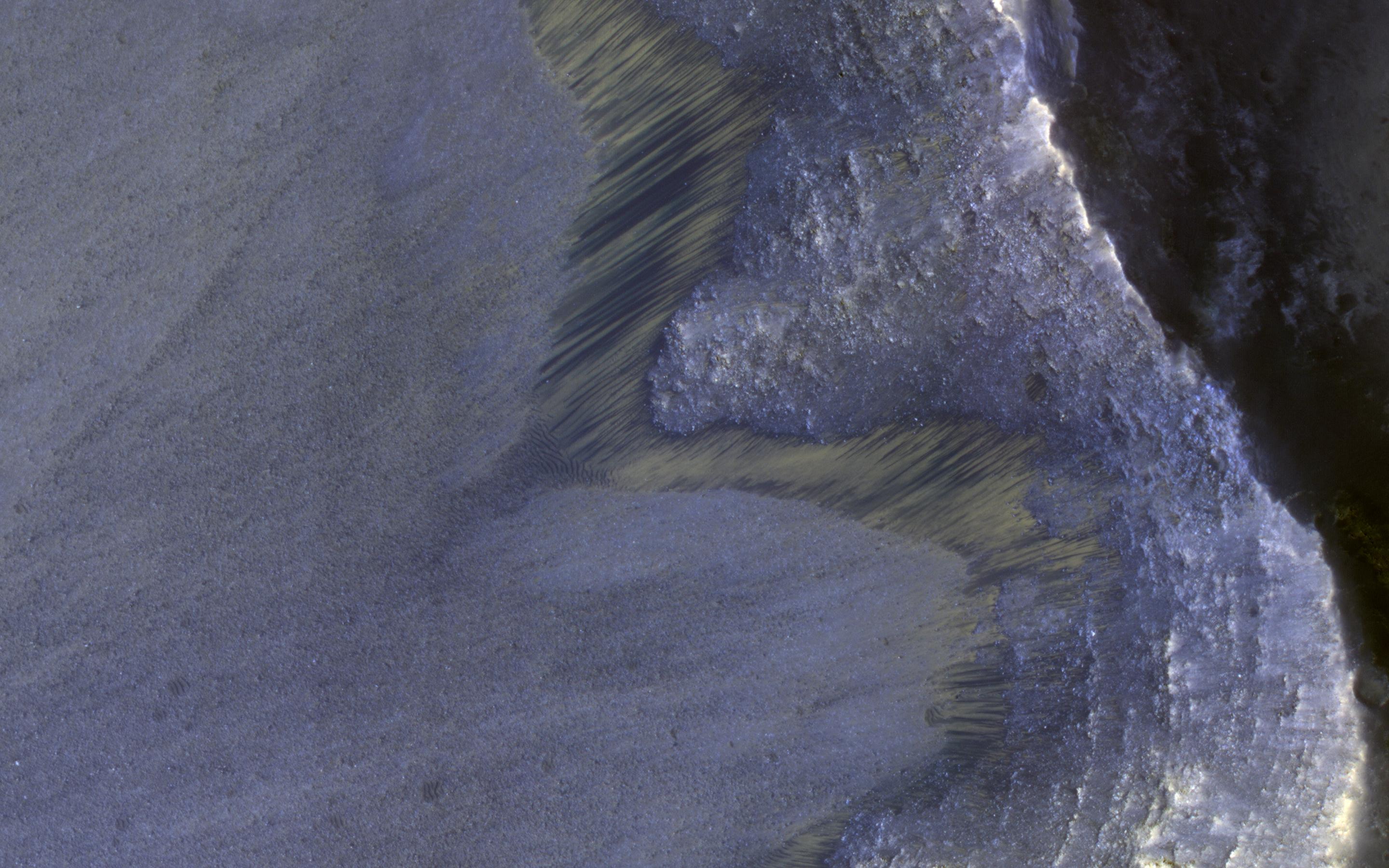
Cracks in a Crater's Ice
Full Resolution:
TIFF
(15.56 MB)
JPEG
(1.168 MB)
2016-12-07
Mars
Mars Reconnaissance Orbiter (MRO)
HiRISE
2880x1800x3
PIA21216:
The Coolest Landscape on Mars (or Earth)
Full Resolution:
TIFF
(10.51 MB)
JPEG
(375.8 kB)
2016-12-07
Mars
Mars Reconnaissance Orbiter (MRO)
HiRISE
2880x1800x3
PIA21217:
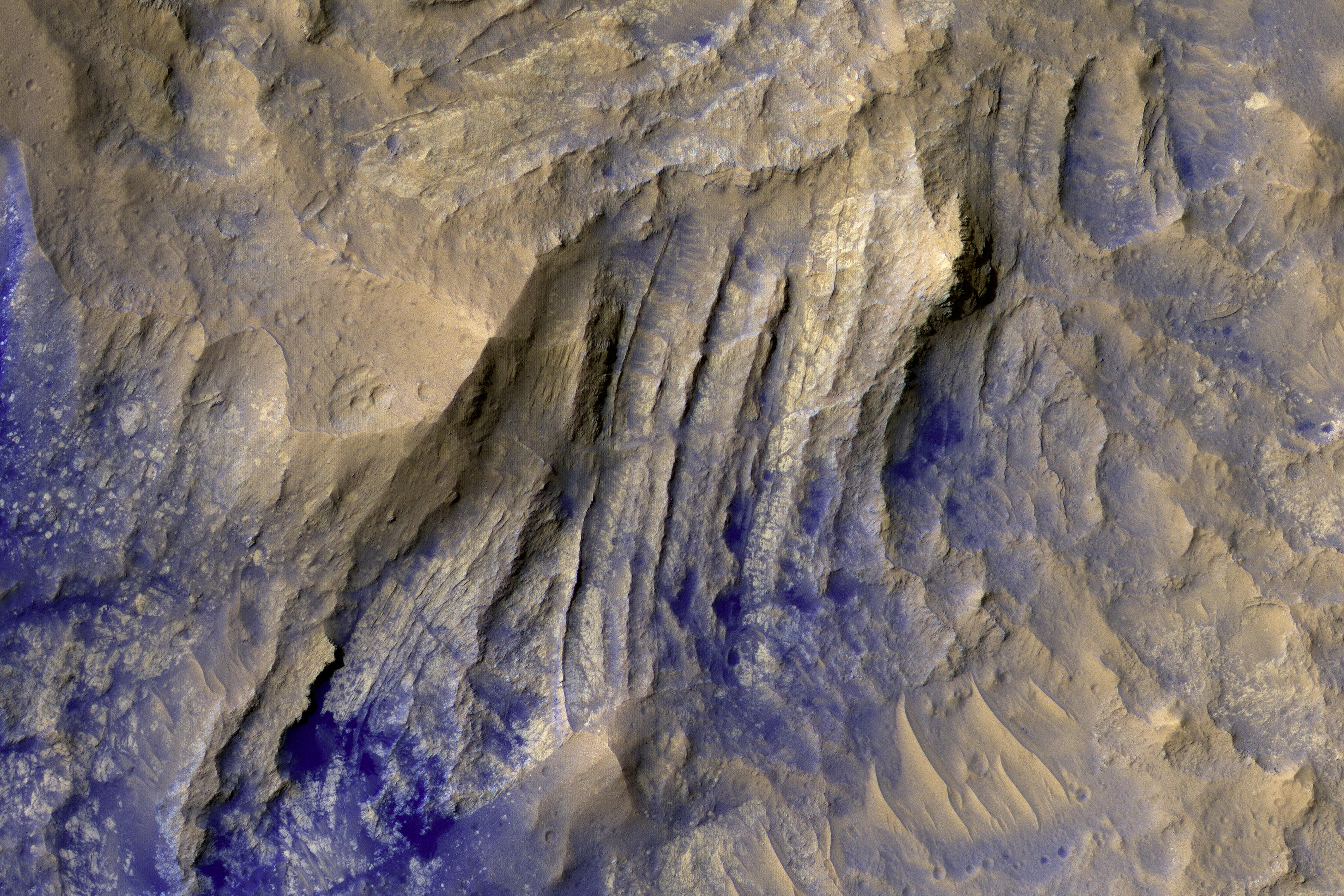
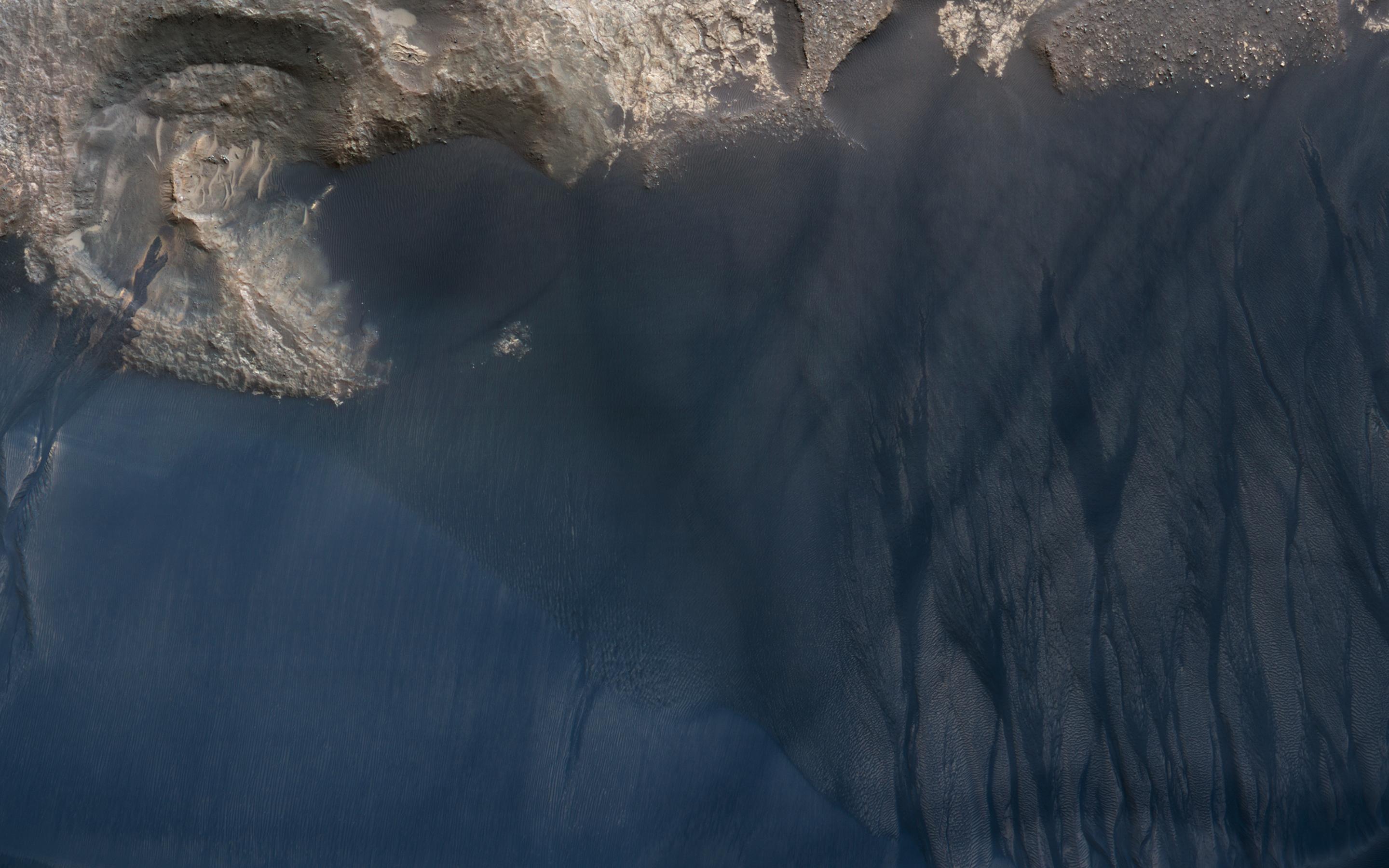
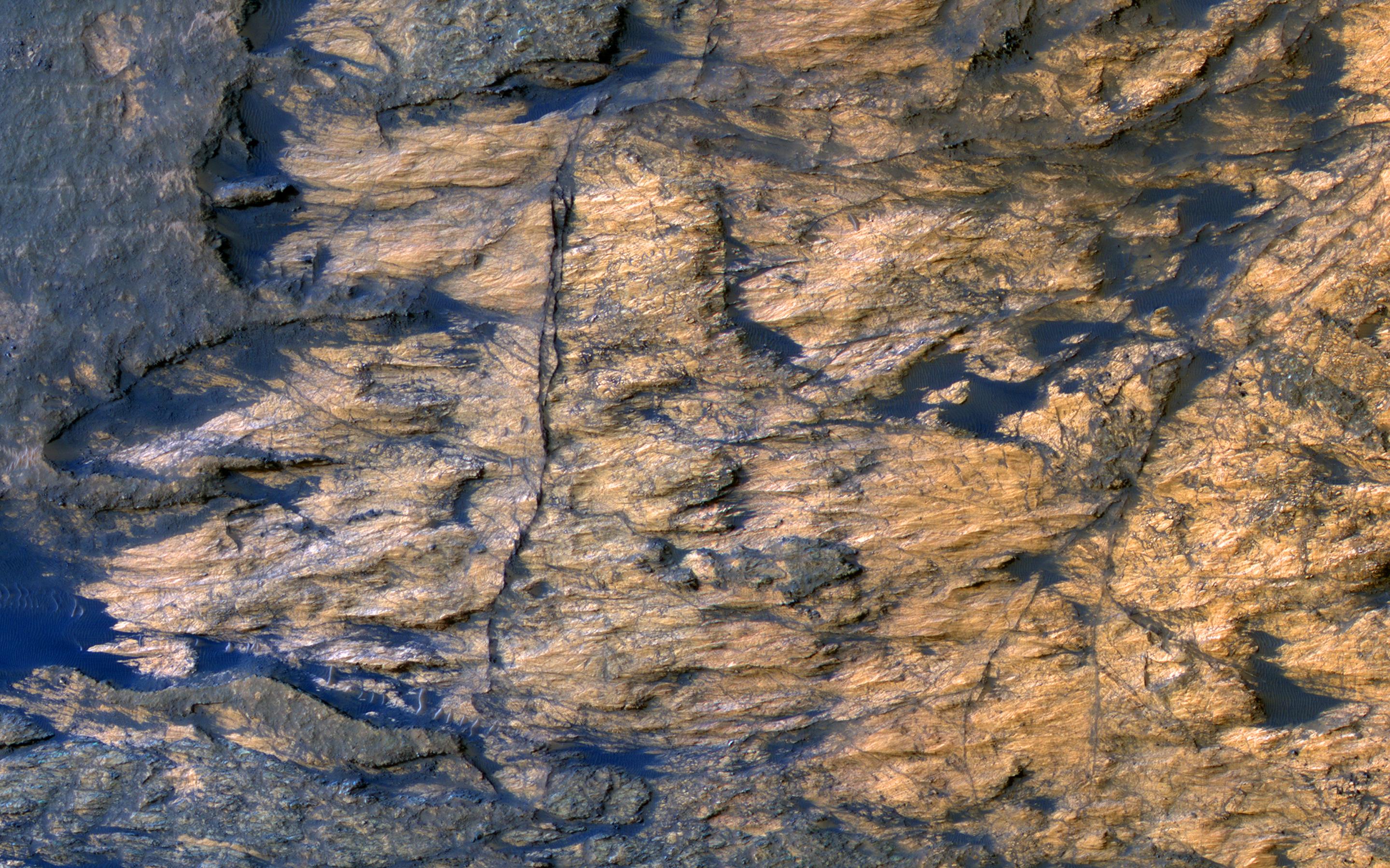
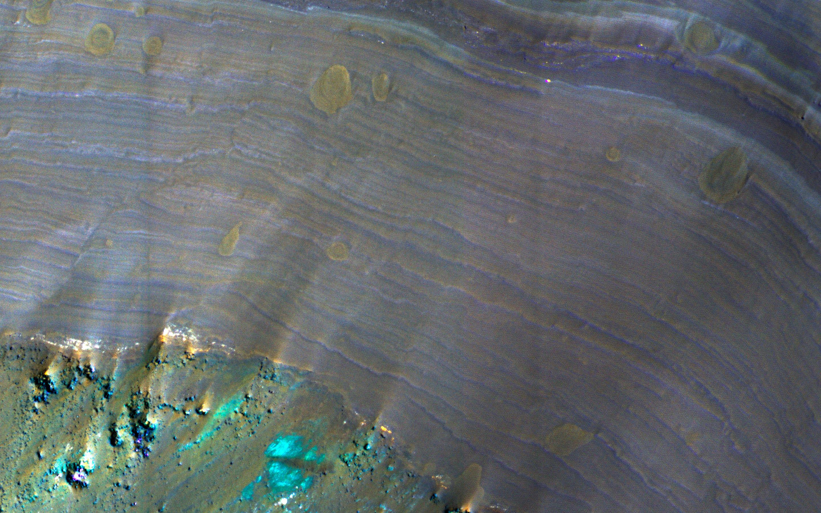
Colorful Bedrock Exposed in a Landslide Scarp
Full Resolution:
TIFF
(15.56 MB)
JPEG
(892.3 kB)
2016-12-13
Mars
Mars Reconnaissance Orbiter (MRO)
Mars Science Laboratory (MSL)
HiRISE
1456x1125x3
PIA21144:
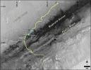
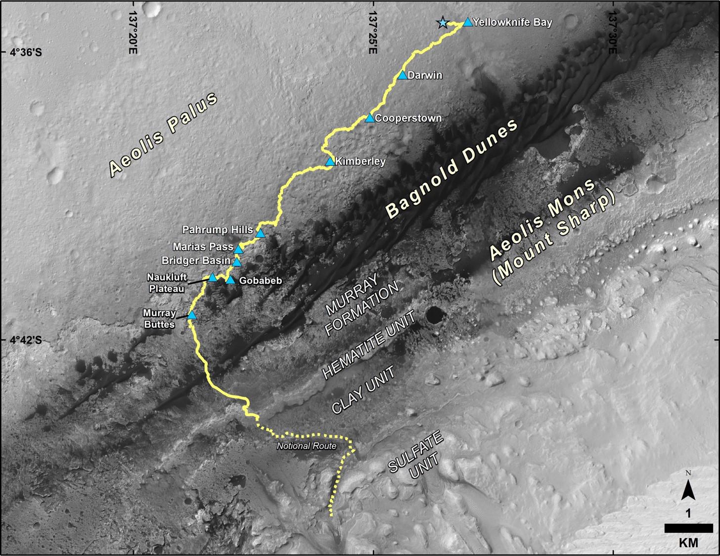
Late 2016 Map of NASA's Curiosity Mars Rover Mission
Full Resolution:
TIFF
(2.946 MB)
JPEG
(288 kB)
2016-12-14
Mars
Mars Reconnaissance Orbiter (MRO)
HiRISE
2880x1800x1
PIA21271:
Fans on Crater Rims
Full Resolution:
TIFF
(5.191 MB)
JPEG
(1.075 MB)
2016-12-14
Mars
Mars Reconnaissance Orbiter (MRO)
HiRISE
2880x1800x1
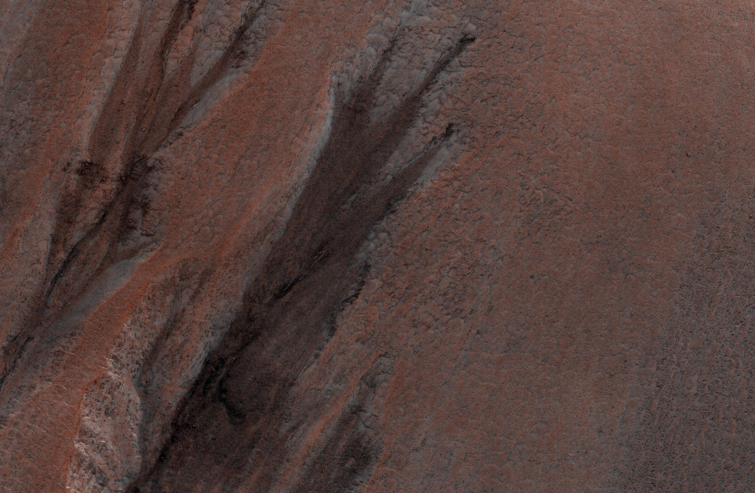
PIA21272:
Slope Streaks or RSL?
Full Resolution:
TIFF
(4.836 MB)
JPEG
(569.6 kB)
2016-12-14
Mars
Mars Reconnaissance Orbiter (MRO)
HiRISE
2880x1800x3
PIA21273:
Possible Layers on Floor of Suzhi Crater
Full Resolution:
TIFF
(15.56 MB)
JPEG
(998.8 kB)
2016-12-14
Mars
Mars Reconnaissance Orbiter (MRO)
HiRISE
2880x1800x3
PIA21274:
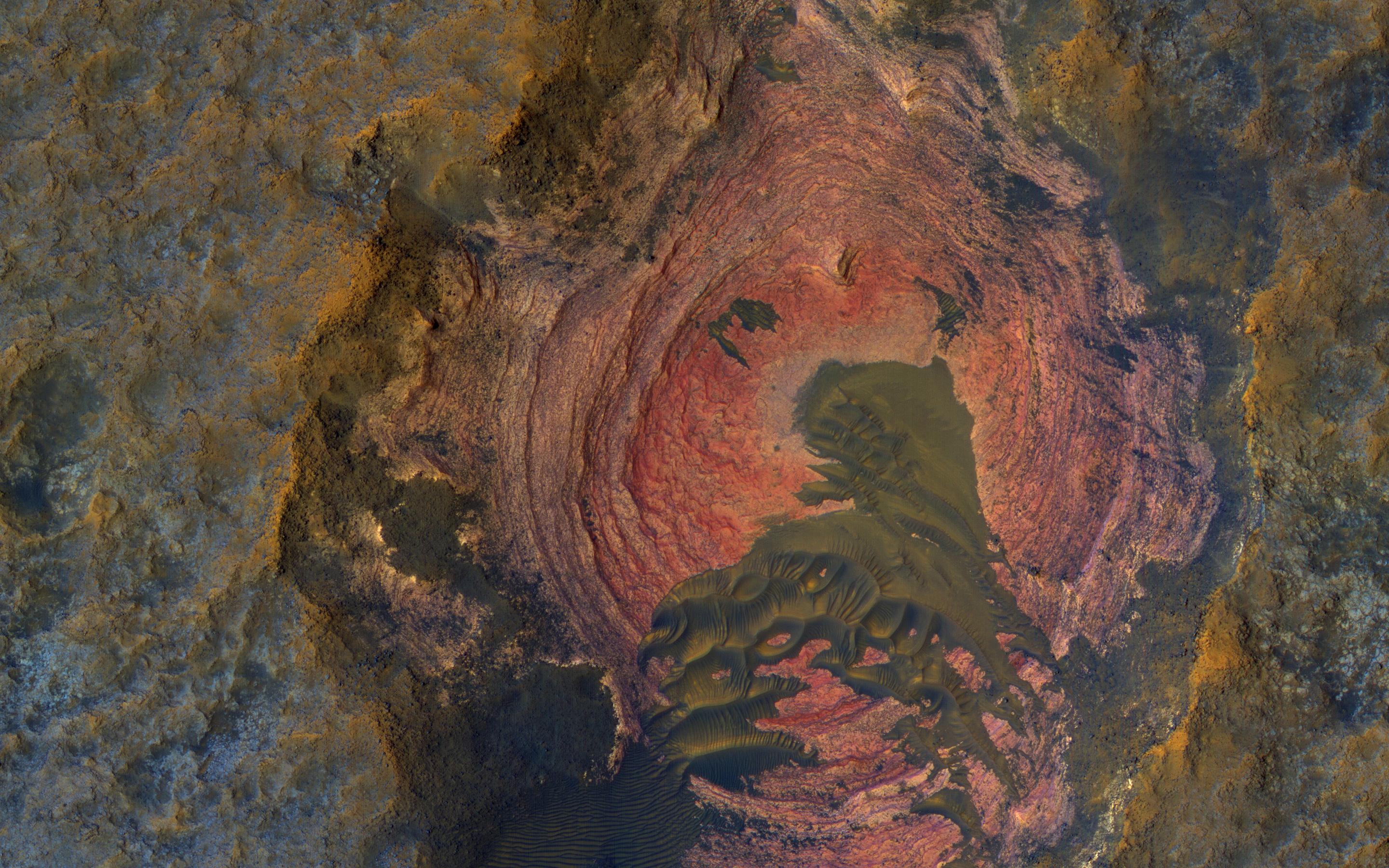
Hematite-Rich Deposits in Capri Chasma
Full Resolution:
TIFF
(13.86 MB)
JPEG
(446.5 kB)
2016-12-20
Mars
Mars Reconnaissance Orbiter (MRO)
HiRISE
369x302x1
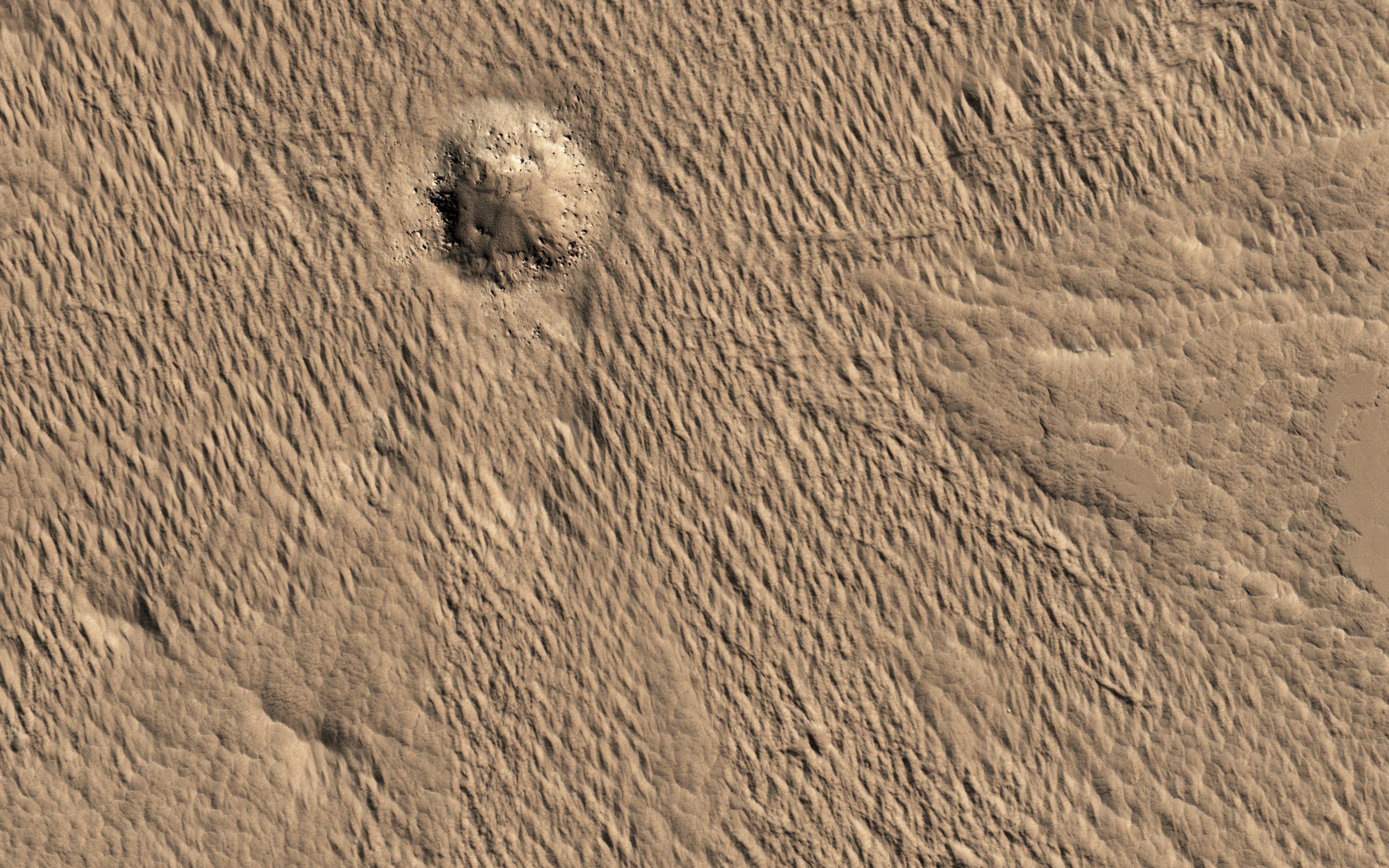
PIA21257:
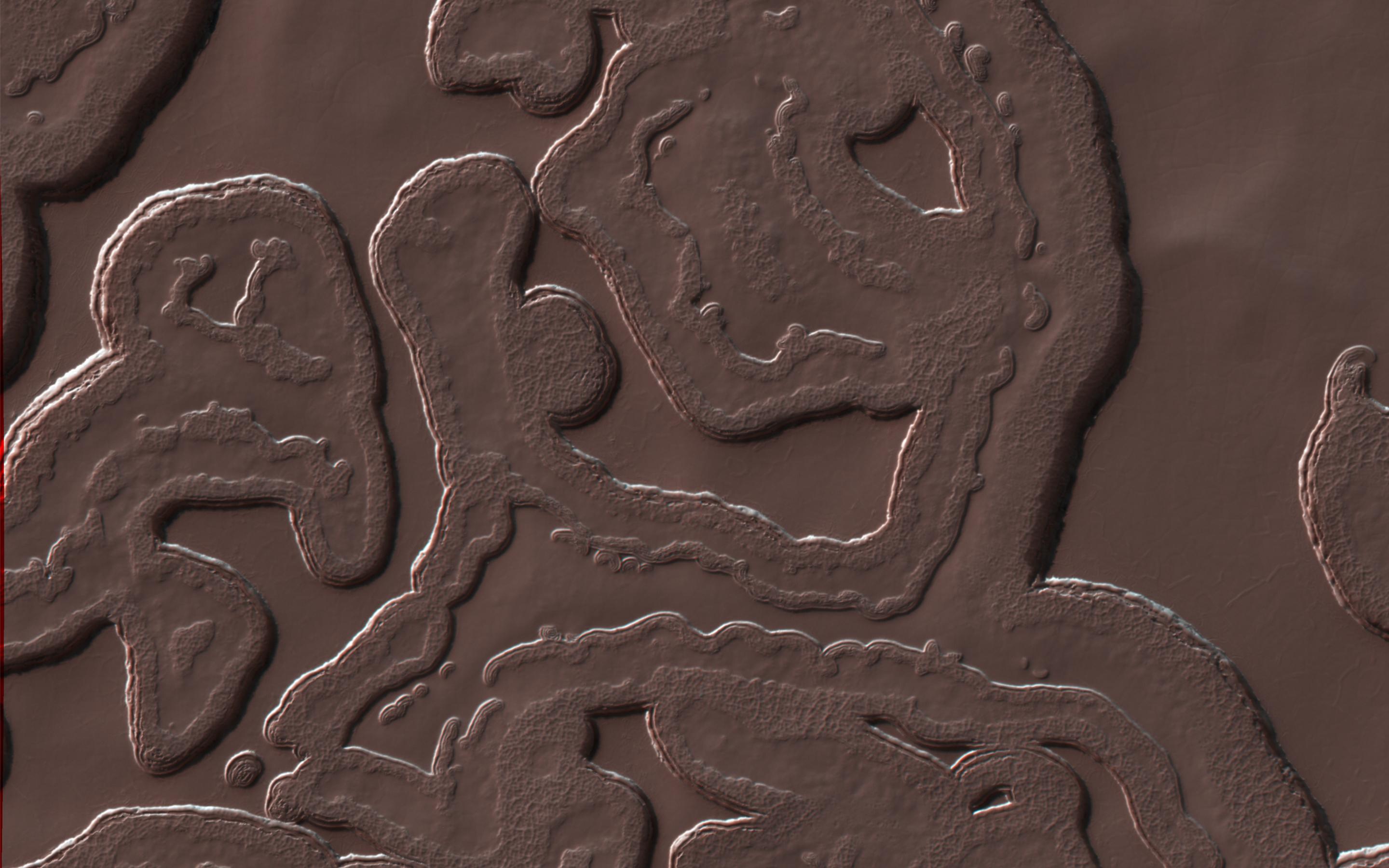
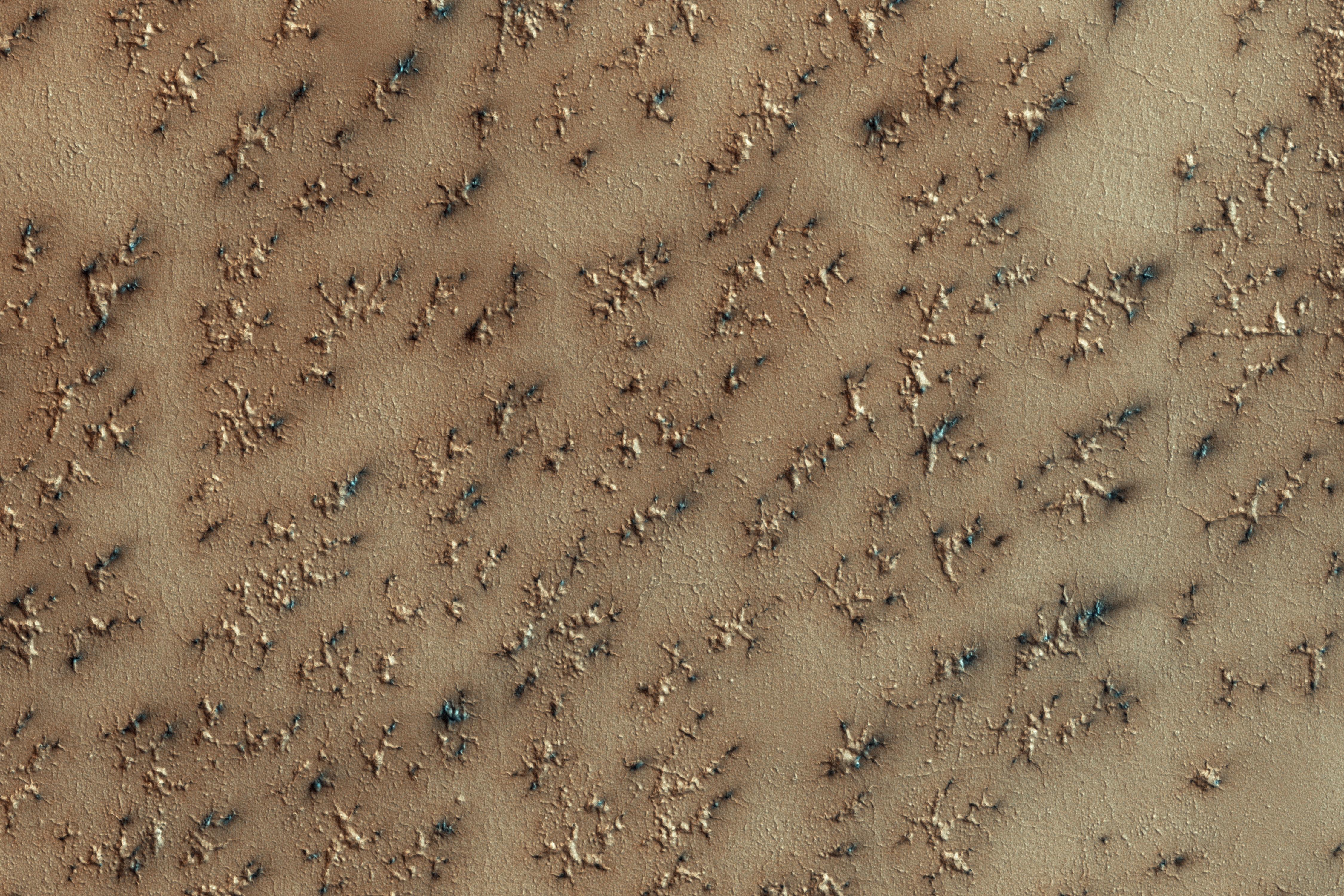
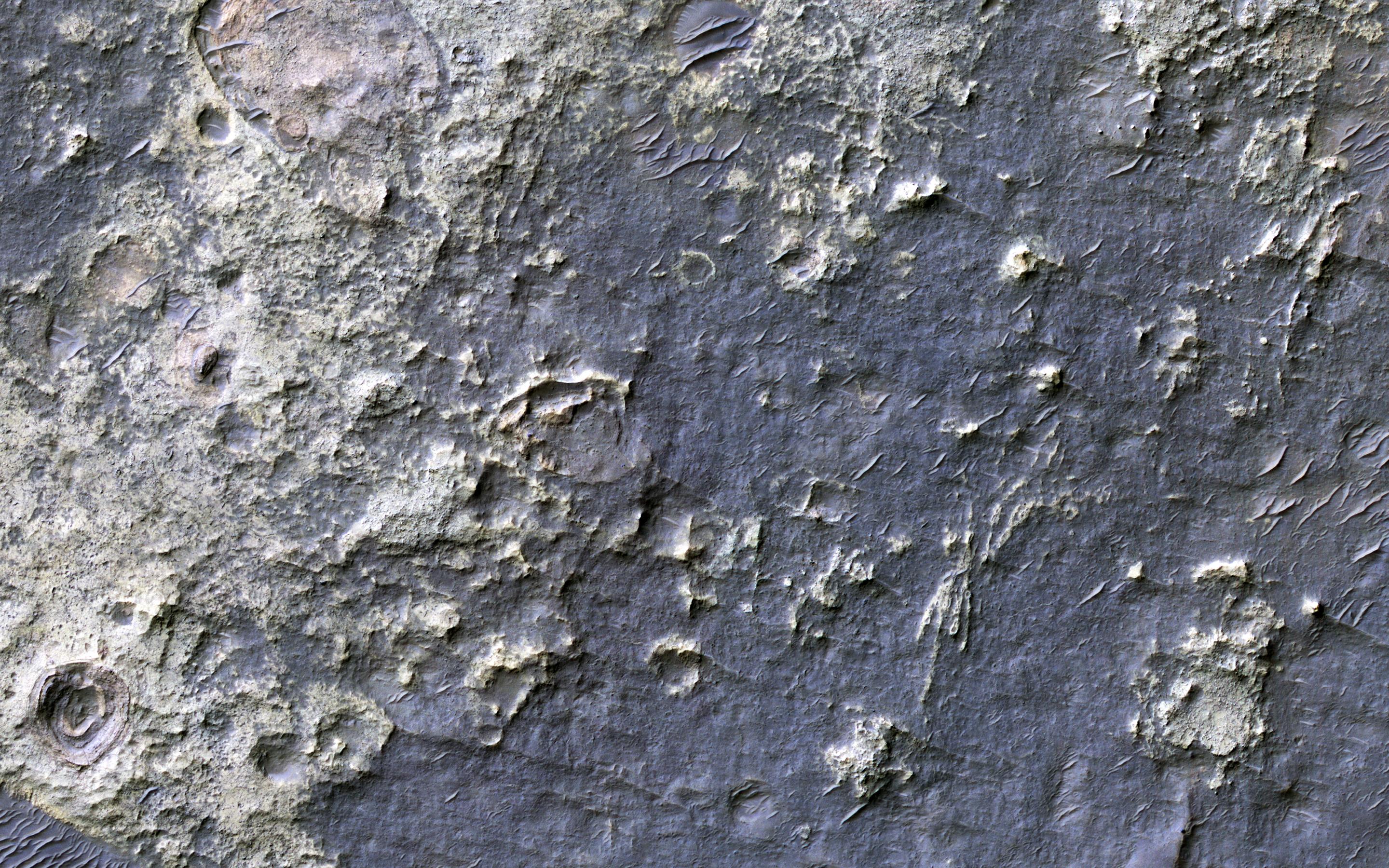
'Baby Spider': Growth of a Martian Trough Network
Full Resolution:
TIFF
(111.8 kB)
JPEG
(24.75 kB)
2016-12-20
Mars
Mars Reconnaissance Orbiter (MRO)
HiRISE
2110x1745x3
PIA21258:
Possible Development Stages of Martian 'Spiders'
Full Resolution:
TIFF
(5.708 MB)
JPEG
(557 kB)
2016-12-21
Mars
Mars Reconnaissance Orbiter (MRO)
HiRISE
2880x1800x3
PIA14450:
Secondary Craters
Full Resolution:
TIFF
(13.96 MB)
JPEG
(384.2 kB)
2016-12-21
Mars
Mars Reconnaissance Orbiter (MRO)
HiRISE
2880x1800x1
PIA14451:
Lace on Mars
Full Resolution:
TIFF
(5.191 MB)
JPEG
(1.415 MB)
2016-12-21
Mars
Mars Reconnaissance Orbiter (MRO)
HiRISE
2880x1800x3
PIA14452:
Spiders on Mounds
Full Resolution:
TIFF
(15.56 MB)
JPEG
(1.445 MB)
2016-12-21
Mars
Mars Reconnaissance Orbiter (MRO)
HiRISE
2880x1800x3
PIA14453:
Soffen Crater Floor
Full Resolution:
TIFF
(15.56 MB)
JPEG
(692.6 kB)
2017-01-02
Mars
Mars Reconnaissance Orbiter (MRO)
HiRISE
2880x1800x3
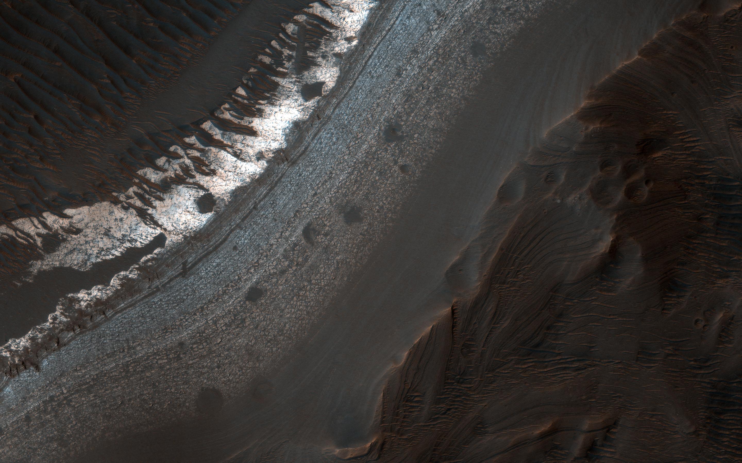
PIA14454:
Hues in a Crater Slope
Full Resolution:
TIFF
(15.56 MB)
JPEG
(743.1 kB)
2017-01-03
Mars
Mars Reconnaissance Orbiter (MRO)
HiRISE
2880x1800x3
PIA14455:
Light-Toned Layering in a Labyrinthus Noctis Pit
Full Resolution:
TIFF
(15.56 MB)
JPEG
(1.026 MB)
2017-01-05
Mars
Mars Reconnaissance Orbiter (MRO)
HiRISE
2880x1800x3
PIA15149:
Raised Bedrock in Terra Cimmeria
Full Resolution:
TIFF
(15.56 MB)
JPEG
(734 kB)
2017-01-09
Mars
Mars Reconnaissance Orbiter (MRO)
HiRISE
2880x1800x3
PIA13485:
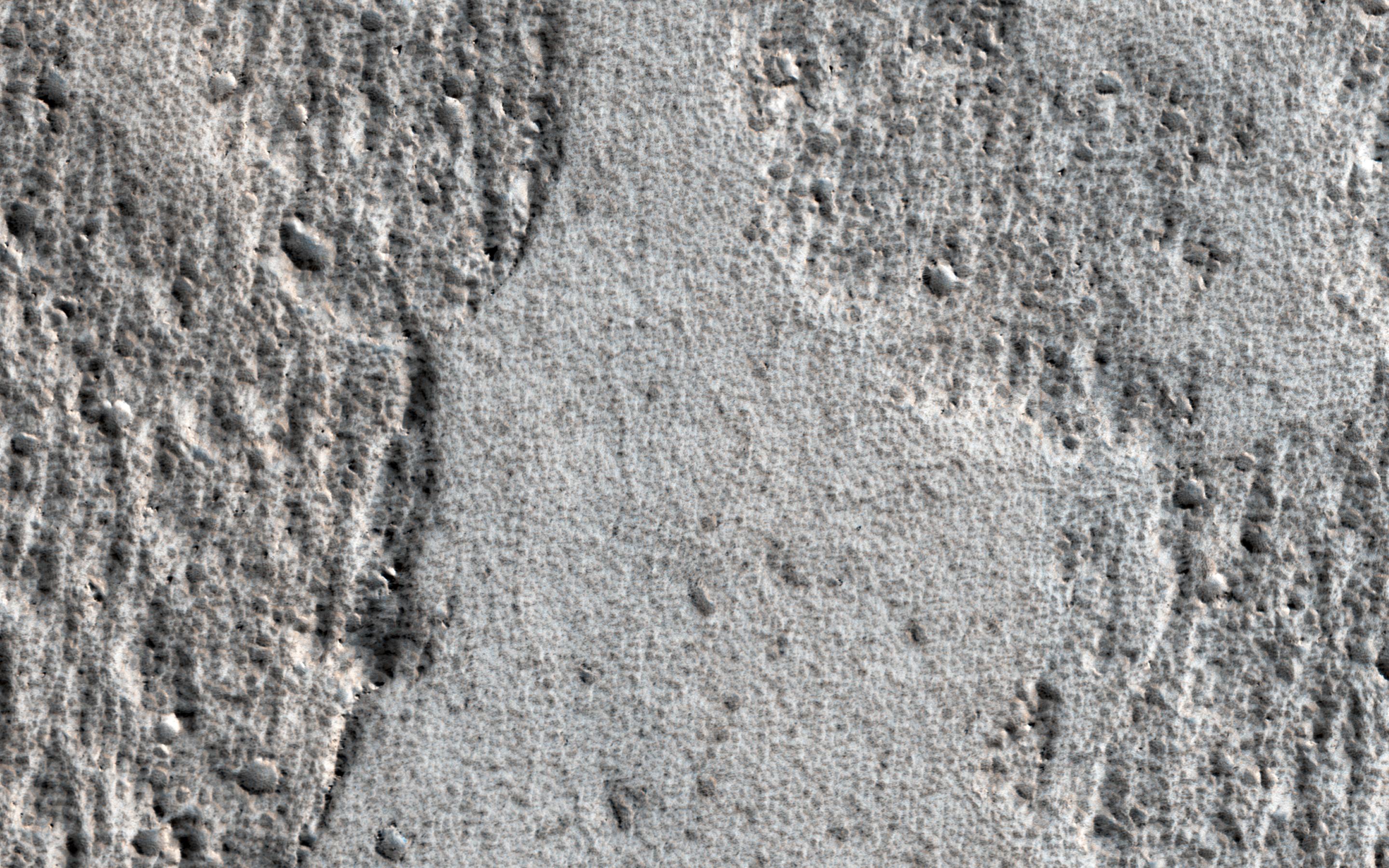
Eroded Scallops with Layers
Full Resolution:
TIFF
(15.56 MB)
JPEG
(1.153 MB)
2017-01-10
Mars
Mars Reconnaissance Orbiter (MRO)
HiRISE
2880x1800x1
PIA13181:
Muddy Ejecta Flow
Full Resolution:
TIFF
(5.191 MB)
JPEG
(1.387 MB)
2017-01-11
Mars
Mars Reconnaissance Orbiter (MRO)
HiRISE
2880x1800x3
PIA13151:
Wide, Branching Channels
Full Resolution:
TIFF
(15.56 MB)
JPEG
(1.306 MB)
2017-01-12
Mars
Mars Reconnaissance Orbiter (MRO)
HiRISE
2880x1800x3
PIA13078:
Well-Preserved Impact Ejecta and Impact Melt-Rich Deposits in Terra Sabaea
Full Resolution:
TIFF
(15.02 MB)
JPEG
(785.4 kB)
2017-01-13
Mars
Mars Reconnaissance Orbiter (MRO)
HiRISE
2880x1800x3
PIA12968:
Smooth and Fractured Deposits in Eridania Valleys
Full Resolution:
TIFF
(15.56 MB)
JPEG
(1.203 MB)
2017-01-17
Mars
Mars Reconnaissance Orbiter (MRO)
HiRISE
4500x3000x3
PIA12328:
Crater with Exposed Layers
Full Resolution:
TIFF
(40.16 MB)
JPEG
(2.299 MB)
2017-01-18
Mars
Mars Reconnaissance Orbiter (MRO)
HiRISE
4500x3000x3
PIA12291:
Bedrock Exhumed from the Deep
Full Resolution:
TIFF
(38.2 MB)
JPEG
(2.161 MB)
2017-01-19
Mars
Mars Reconnaissance Orbiter (MRO)
HiRISE
4500x3000x3
PIA12289:
The Changing Dunes of Wirtz Crater
Full Resolution:
TIFF
(40.52 MB)
JPEG
(2.437 MB)
2017-01-20
Mars
Mars Reconnaissance Orbiter (MRO)
HiRISE
4500x3000x3
PIA12178:
The Beauty of Layered Stratigraphy
Full Resolution:
TIFF
(40.52 MB)
JPEG
(2.705 MB)
2017-01-24
Mars
Mars Reconnaissance Orbiter (MRO)
HiRISE
4500x3000x3
PIA11706:
How Gas Carves Channels
Full Resolution:
TIFF
(40.52 MB)
JPEG
(2.754 MB)
2017-01-25
Mars
Mars Reconnaissance Orbiter (MRO)
HiRISE
2159x1056x3
PIA21264:
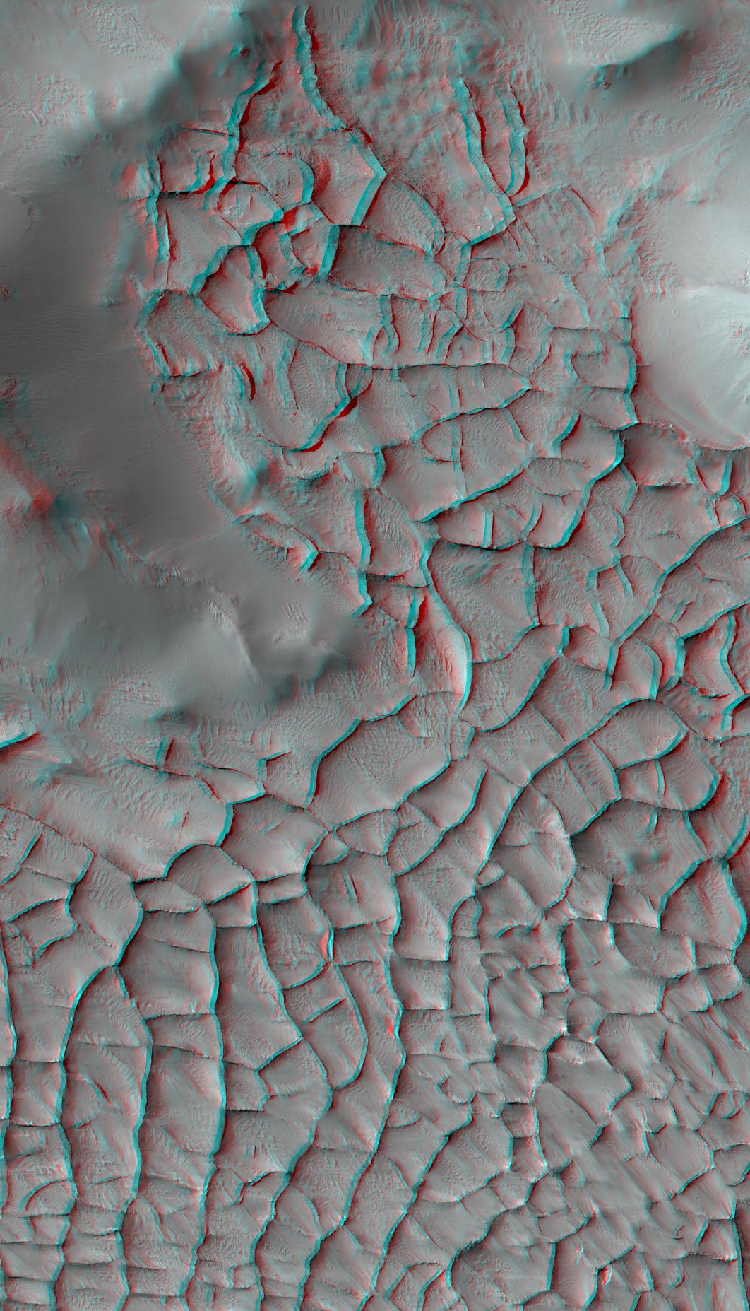
Blade-Like Martian Walls Outline Polygons
Full Resolution:
TIFF
(5.927 MB)
JPEG
(271.4 kB)
2017-01-25
Mars
Mars Reconnaissance Orbiter (MRO)
HiRISE
1062x1855x3
PIA21265:
Blade-Like Martian Walls Outline Polygons (Stereo)
Full Resolution:
TIFF
(5.31 MB)
JPEG
(331.2 kB)
2017-01-25
Mars
Mars Reconnaissance Orbiter (MRO)
HiRISE
2880x1800x3
PIA11705:
Contact between Two Distinct Types of Bedrock Northwest of Hellas Planitia
Full Resolution:
TIFF
(15.56 MB)
JPEG
(998.8 kB)
2017-01-27
Mars
Mars Reconnaissance Orbiter (MRO)
HiRISE
4500x3000x3
PIA11238:
Rectangles with Wiggly Sides
Full Resolution:
TIFF
(40.52 MB)
JPEG
(2.842 MB)
2017-02-01
Mars
Mars Reconnaissance Orbiter (MRO)
HiRISE
2880x1800x3
PIA11181:
Dunes in Northern Summer
Full Resolution:
TIFF
(14.91 MB)
JPEG
(580.3 kB)
2017-02-01
Mars
Mars Reconnaissance Orbiter (MRO)
HiRISE
4500x3000x3
PIA11180:
Raining Rocks
Full Resolution:
TIFF
(40.52 MB)
JPEG
(2.174 MB)
2017-02-02
Mars
Mars Reconnaissance Orbiter (MRO)
HiRISE
4500x3000x3
PIA11179:
Hard Knocks in Tyrrhena Terra
Full Resolution:
TIFF
(40.52 MB)
JPEG
(2.694 MB)
2017-02-03
Mars
Mars Reconnaissance Orbiter (MRO)
HiRISE
4500x3000x3
PIA11178:
The Contrasting Colors of Crater Dunes and Gullies
Full Resolution:
TIFF
(40.52 MB)
JPEG
(2.41 MB)
2017-02-07
Mars
Mars Reconnaissance Orbiter (MRO)
HiRISE
2736x1824x3
PIA11176:
A Recent Cluster of Impacts
Full Resolution:
TIFF
(11.27 MB)
JPEG
(583.1 kB)
2017-02-08
Mars
Mars Reconnaissance Orbiter (MRO)
HiRISE
1992x1328x1
PIA21267:
Mars Reconnaissance Orbiter Observes Changes
Full Resolution:
TIFF
(2.19 MB)
JPEG
(494.5 kB)
2017-02-08
Mars
Mars Reconnaissance Orbiter (MRO)
HiRISE
2880x1800x3
PIA08395:
A Nine Kilometer Impact Crater and Its Central Peak
Full Resolution:
TIFF
(15.56 MB)
JPEG
(1.096 MB)
2017-02-09
Mars
Mars Reconnaissance Orbiter (MRO)
HiRISE
2880x1800x3
PIA21451:
Unlocking an Impact Crater's Clues
Full Resolution:
TIFF
(15.56 MB)
JPEG
(1.016 MB)
2017-02-10
Mars
Mars Reconnaissance Orbiter (MRO)
HiRISE
2880x1800x1
PIA21454:
A Dragonfly-Shaped Crater
Full Resolution:
TIFF
(4.23 MB)
JPEG
(565.9 kB)
2017-02-13
Mars
Mars Reconnaissance Orbiter (MRO)
HiRISE
2880x1800x3
PIA21455:
Better Preserved on Mars than on Earth
Full Resolution:
TIFF
(15.56 MB)
JPEG
(770.8 kB)
2017-02-14
Mars
Mars Reconnaissance Orbiter (MRO)
HiRISE
2880x1800x3
PIA21456:
Old Features and New
Full Resolution:
TIFF
(15.56 MB)
JPEG
(936.1 kB)
2017-02-15
Mars
Mars Reconnaissance Orbiter (MRO)
HiRISE
2880x1800x3
PIA21457:
A Dust Devil on Hilly Terrain
Full Resolution:
TIFF
(15.56 MB)
JPEG
(967.1 kB)
2017-02-16
Mars
Mars Reconnaissance Orbiter (MRO)
HiRISE
2880x1800x3
PIA21458:
Scars of Erosion
Full Resolution:
TIFF
(12.9 MB)
JPEG
(489.1 kB)
2017-02-20
Mars
Mars Reconnaissance Orbiter (MRO)
HiRISE
2880x1800x3
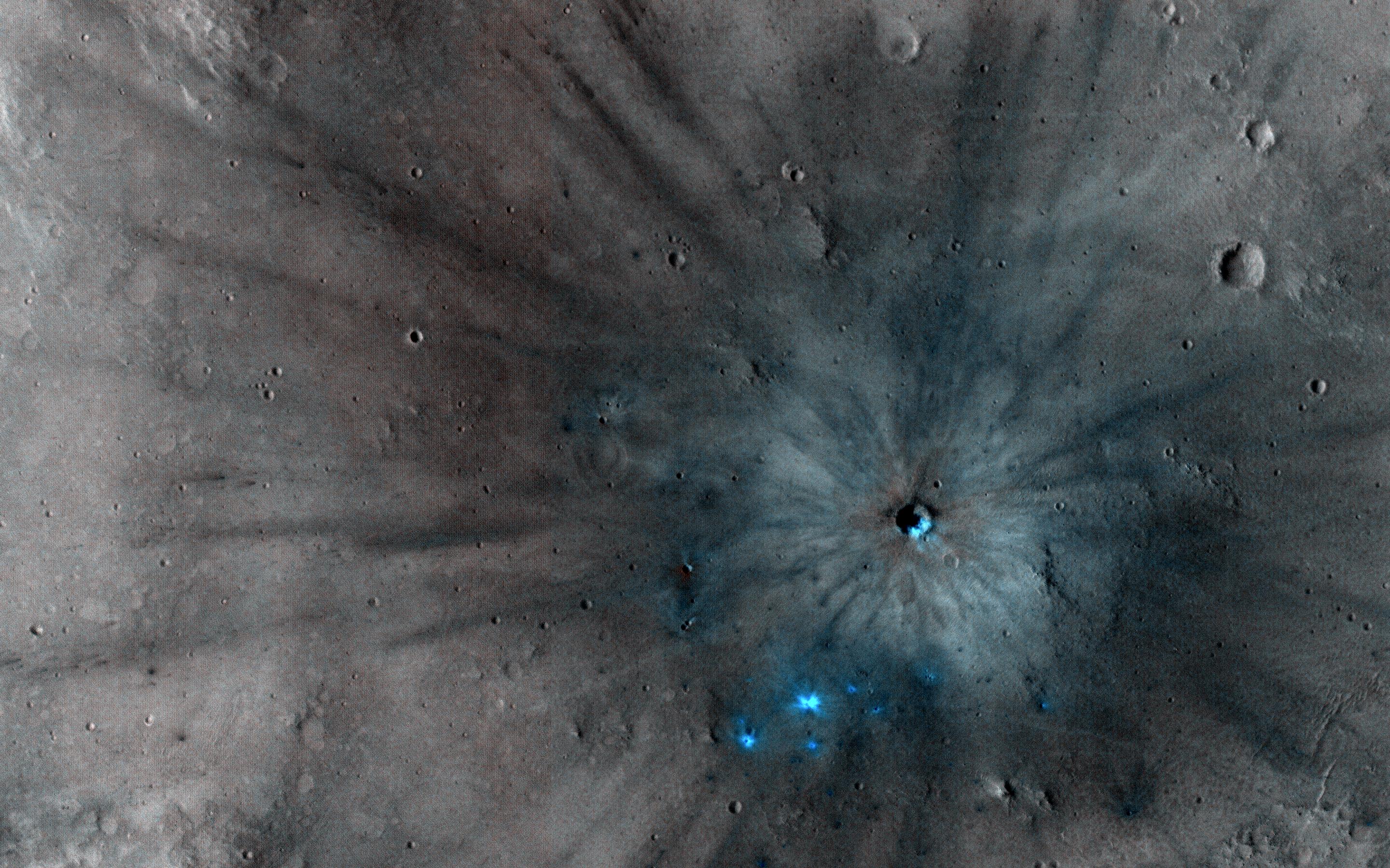
PIA21459:
A New Crater on a Dusty Slope
Full Resolution:
TIFF
(13.86 MB)
JPEG
(770.5 kB)
2017-02-21
Mars
Mars Reconnaissance Orbiter (MRO)
HiRISE
2880x1800x3
PIA21460:
Obstacles and Wakes in Lava
Full Resolution:
TIFF
(15.56 MB)
JPEG
(969.8 kB)
2017-02-22
Mars
Mars Reconnaissance Orbiter (MRO)
HiRISE
2880x1800x1
PIA21462:
Layered Mantling Deposits in the Northern Mid-Latitudes
Full Resolution:
TIFF
(5.191 MB)
JPEG
(1.163 MB)
2017-02-23
Mars
Mars Reconnaissance Orbiter (MRO)
HiRISE
2880x1800x3
PIA21463:
Layers and Dark Dunes
Full Resolution:
TIFF
(15.56 MB)
JPEG
(931.6 kB)
2017-02-27
Mars
Mars Reconnaissance Orbiter (MRO)
Mars Science Laboratory (MSL)
HiRISE
825x1118x3
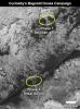
PIA21269:
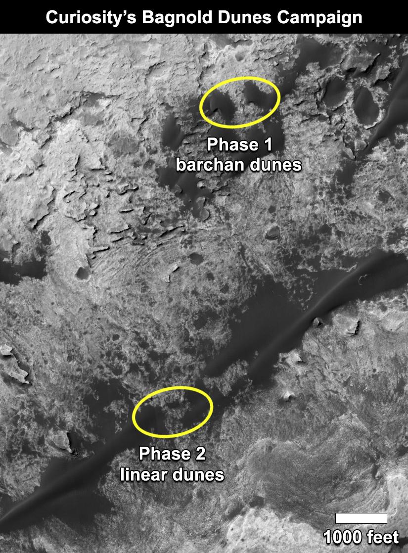
Curiosity's Bagnold Dunes Campaign: Two Types of Dunes
Full Resolution:
TIFF
(1.475 MB)
JPEG
(200.6 kB)
2017-02-27
Mars
Mars Reconnaissance Orbiter (MRO)
HiRISE
2880x1800x3
PIA21464:
Polar Pits: Are They Active?
Full Resolution:
TIFF
(15.56 MB)
JPEG
(1.068 MB)
2017-02-28
Mars
Mars Reconnaissance Orbiter (MRO)
HiRISE
2880x1800x3
PIA21465:
North Polar Layers
Full Resolution:
TIFF
(15.56 MB)
JPEG
(886.7 kB)
2017-03-01
Mars
Mars Reconnaissance Orbiter (MRO)
HiRISE
4016x3543x3
PIA21551:
Martian Meanders and Scroll-Bars
Full Resolution:
TIFF
(42.7 MB)
JPEG
(2.967 MB)
2017-03-02
Mars
Mars Reconnaissance Orbiter (MRO)
HiRISE
2880x1800x3
PIA21553:
Isidis Basin Ejecta
Full Resolution:
TIFF
(15.14 MB)
JPEG
(680.5 kB)
2017-03-06
Mars
Mars Reconnaissance Orbiter (MRO)
HiRISE
2880x1800x3
PIA21554:
A Mass of Viscous Flow Features
Full Resolution:
TIFF
(15.56 MB)
JPEG
(924.8 kB)
2017-03-07
Mars
Mars Reconnaissance Orbiter (MRO)
HiRISE
2880x1800x3
PIA21555:
The Entrance to Mawrth Vallis
Full Resolution:
TIFF
(15.56 MB)
JPEG
(597.1 kB)
2017-03-08
Mars
Mars Reconnaissance Orbiter (MRO)
HiRISE
2880x1800x3
PIA21556:
Icy Flow in a Crater
Full Resolution:
TIFF
(15.13 MB)
JPEG
(567.3 kB)
2017-03-09
Mars
Mars Reconnaissance Orbiter (MRO)
HiRISE
2880x1800x3
PIA21558:
Seasonal Flows on Warm Slopes
Full Resolution:
TIFF
(15.01 MB)
JPEG
(627.9 kB)
2017-03-13
Mars
Mars Reconnaissance Orbiter (MRO)
HiRISE
2880x1800x3
PIA21559:
Bedrock Outcrops in Kaiser Crater
Full Resolution:
TIFF
(15.56 MB)
JPEG
(1.028 MB)
2017-03-14
Mars
Mars Reconnaissance Orbiter (MRO)
HiRISE
2880x1800x3
PIA21560:
Fans and Crater Floor Deposits Southeast of Vinogradov Crater
Full Resolution:
TIFF
(15.56 MB)
JPEG
(1.17 MB)
2017-03-15
Mars
Mars Reconnaissance Orbiter (MRO)
HiRISE
2880x1800x3
PIA21561:
A Closer Look at Holden Crater
Full Resolution:
TIFF
(13.84 MB)
JPEG
(739.5 kB)
2017-03-16
Mars
Mars Reconnaissance Orbiter (MRO)
HiRISE
2880x1800x3
PIA21563:
Layered Deposits in Uzboi Vallis
Full Resolution:
TIFF
(15.56 MB)
JPEG
(662.6 kB)
2017-03-20
Mars
Mars Reconnaissance Orbiter (MRO)
HiRISE
2880x1800x3
PIA21567:
The Hills are Colorful in Juventae Chasma
Full Resolution:
TIFF
(15.56 MB)
JPEG
(624.7 kB)
2017-03-21
Mars
Mars Reconnaissance Orbiter (MRO)
HiRISE
2880x1880x3
PIA21568:
Gullies in Winter Shadow
Full Resolution:
TIFF
(16.05 MB)
JPEG
(946.9 kB)
2017-03-22
Mars
Mars Reconnaissance Orbiter (MRO)
HiRISE
2880x1800x3
PIA21570:
To Great Depths
Full Resolution:
TIFF
(15.56 MB)
JPEG
(901 kB)
2017-03-23
Mars
Mars Reconnaissance Orbiter (MRO)
HiRISE
2880x1800x1
PIA21571:
Dunes of the Southern Highlands
Full Resolution:
TIFF
(4.335 MB)
JPEG
(728.2 kB)
2017-03-27
Mars
Mars Reconnaissance Orbiter (MRO)
HiRISE
2880x1800x3
PIA21572:
The Splitting of the Dunes
Full Resolution:
TIFF
(15.56 MB)
JPEG
(902 kB)
2017-03-29
Mars
Mars Reconnaissance Orbiter (MRO)
HiRISE
1650x1275x3
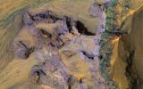
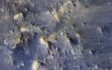
PIA21489:
Advance Inspection of NASA's Next Mars Landing Site
Full Resolution:
TIFF
(2.287 MB)
JPEG
(273.9 kB)
2017-03-28
Mars
Mars Reconnaissance Orbiter (MRO)
HiRISE
2880x1800x3
PIA21573:
Plains South of Valles Marineris
Full Resolution:
TIFF
(15.56 MB)
JPEG
(1.032 MB)
2017-03-30
Mars
Mars Reconnaissance Orbiter (MRO)
HiRISE
2880x1800x3
PIA21574:
Distinctive Brightness
Full Resolution:
TIFF
(13.99 MB)
JPEG
(694.8 kB)
2017-03-31
Mars
Mars Reconnaissance Orbiter (MRO)
HiRISE
2880x1800x3
PIA21575:
Layers in Galle Crater
Full Resolution:
TIFF
(15.56 MB)
JPEG
(1.236 MB)
2017-04-04
Mars
Mars Reconnaissance Orbiter (MRO)
HiRISE
2880x1800x1
PIA21576:
Is that an Impact Crater?
Full Resolution:
TIFF
(5.191 MB)
JPEG
(1.411 MB)
2017-04-13
Mars
Mars Reconnaissance Orbiter (MRO)
HiRISE
3459x2024x3
PIA21587:
Lakebeds in Holden Crater
Full Resolution:
TIFF
(21.01 MB)
JPEG
(1.306 MB)
2017-04-12
Mars
Mars Reconnaissance Orbiter (MRO)
HiRISE
2880x1800x3
PIA21586:
Sources of Gullies in Hale Crater
Full Resolution:
TIFF
(15.56 MB)
JPEG
(765.4 kB)
2017-04-11
Mars
Mars Reconnaissance Orbiter (MRO)
HiRISE
2880x1800x3
PIA21585:
A Mesa in Noctis Labyrinthus
Full Resolution:
TIFF
(15.56 MB)
JPEG
(798 kB)
2017-04-10
Mars
Mars Reconnaissance Orbiter (MRO)
HiRISE
2880x1800x3
PIA21580:
Clinoforms in Melas Chasma
Full Resolution:
TIFF
(15.56 MB)
JPEG
(1.148 MB)
2017-04-06
Mars
Mars Reconnaissance Orbiter (MRO)
HiRISE
2880x1800x1
PIA21579:
South Polar Spiral
Full Resolution:
TIFF
(5.191 MB)
JPEG
(1.259 MB)
2017-04-05
Mars
Mars Reconnaissance Orbiter (MRO)
HiRISE
2880x1800x3
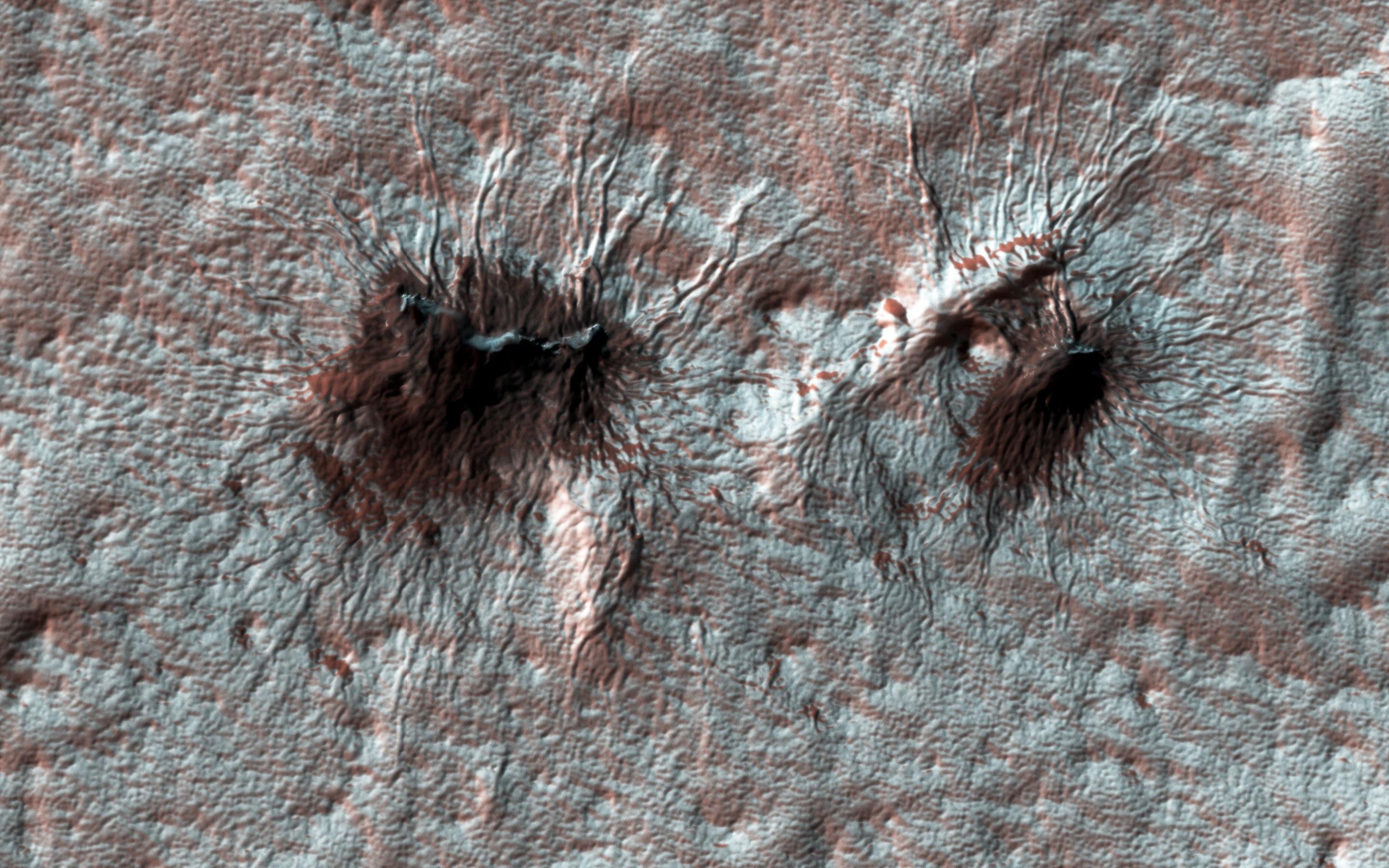
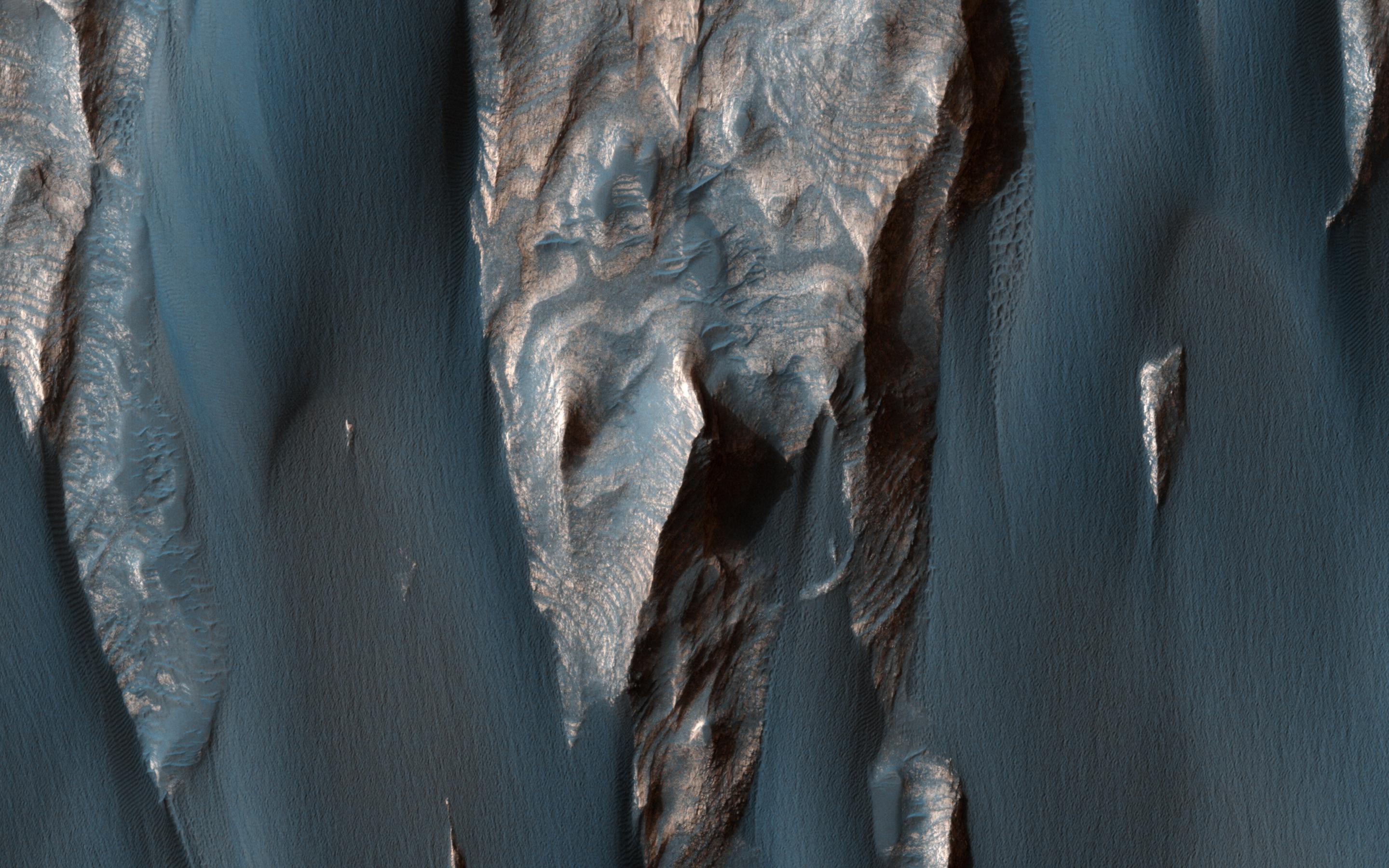
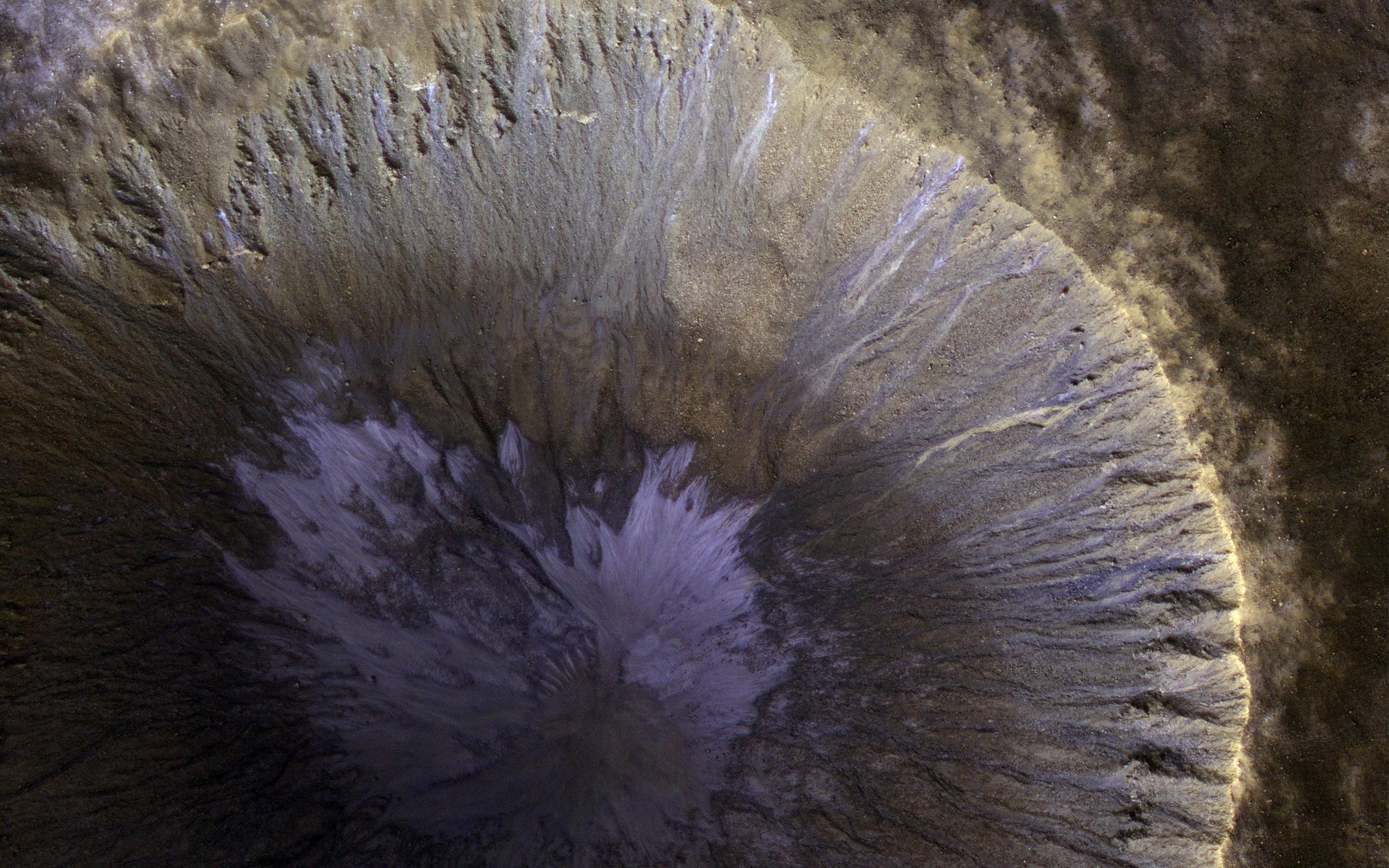
PIA21578:
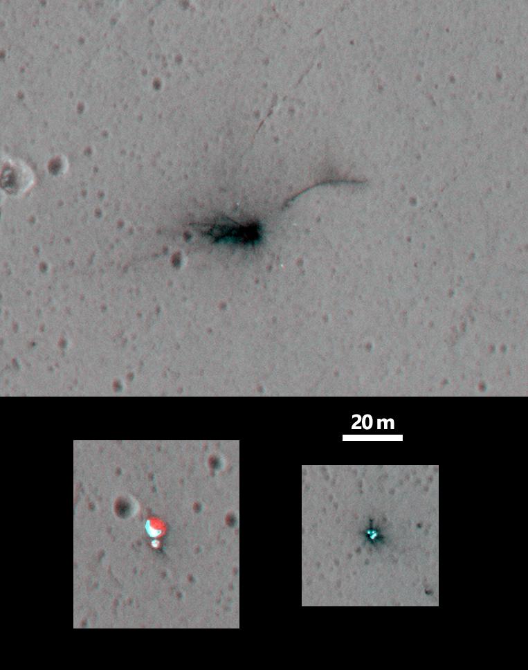
A New Impact Site in the Southern Middle Latitudes
Full Resolution:
TIFF
(14.35 MB)
JPEG
(694.7 kB)
2017-04-04
Mars
Mars Reconnaissance Orbiter (MRO)
HiRISE
2880x1800x3
PIA21577:
A Sneak Peek into Saheki's Secret Layers
Full Resolution:
TIFF
(15.56 MB)
JPEG
(1.07 MB)
2017-06-14
Mars
Mars Reconnaissance Orbiter (MRO)
HiRISE
2880x1800x3
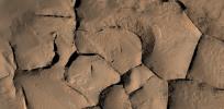
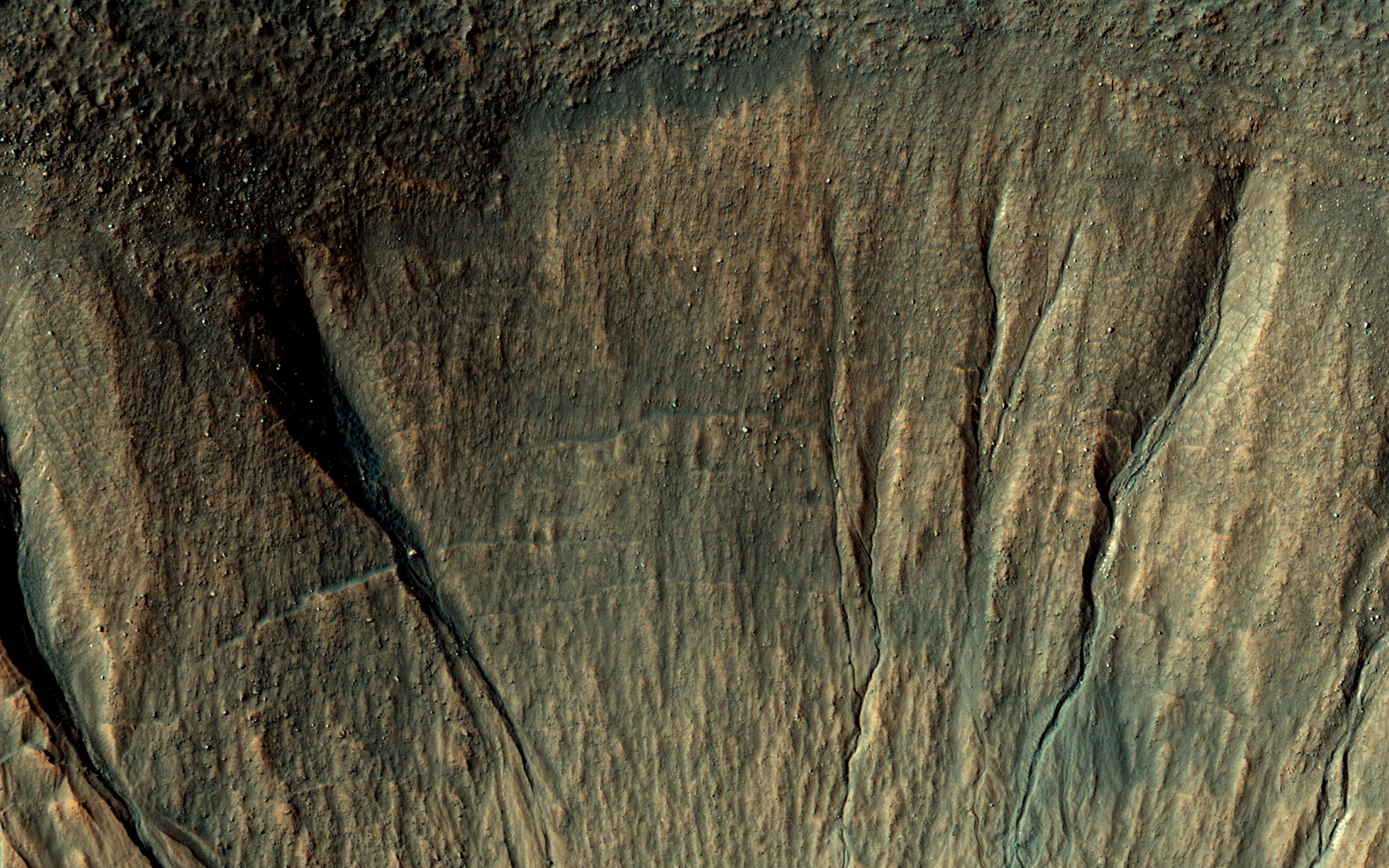
PIA21759:
Decoding a Geological Message
Full Resolution:
TIFF
(15.52 MB)
JPEG
(923.7 kB)
2017-04-25
Mars
Mars Reconnaissance Orbiter (MRO)
HiRISE
2880x1800x3
PIA21600:
Windblown Sand in Ganges Chasma
Full Resolution:
TIFF
(15.56 MB)
JPEG
(687.6 kB)
2017-04-17
Mars
Mars Reconnaissance Orbiter (MRO)
HiRISE
2048x1256x1
PIA21591:
Secondary Craters in Bas Relief
Full Resolution:
TIFF
(2.575 MB)
JPEG
(570.4 kB)
2017-04-18
Mars
Mars Reconnaissance Orbiter (MRO)
HiRISE
2880x1800x3
PIA21593:
A Winter's View of a Gullied Crater
Full Resolution:
TIFF
(15.56 MB)
JPEG
(883.3 kB)
2017-04-19
Mars
Mars Reconnaissance Orbiter (MRO)
HiRISE
2880x1800x1
PIA21595:
Dune Transition in the High Southern Latitudes
Full Resolution:
TIFF
(4.262 MB)
JPEG
(712.3 kB)
2017-04-20
Mars
Mars Reconnaissance Orbiter (MRO)
HiRISE
2880x1800x1
PIA21596:
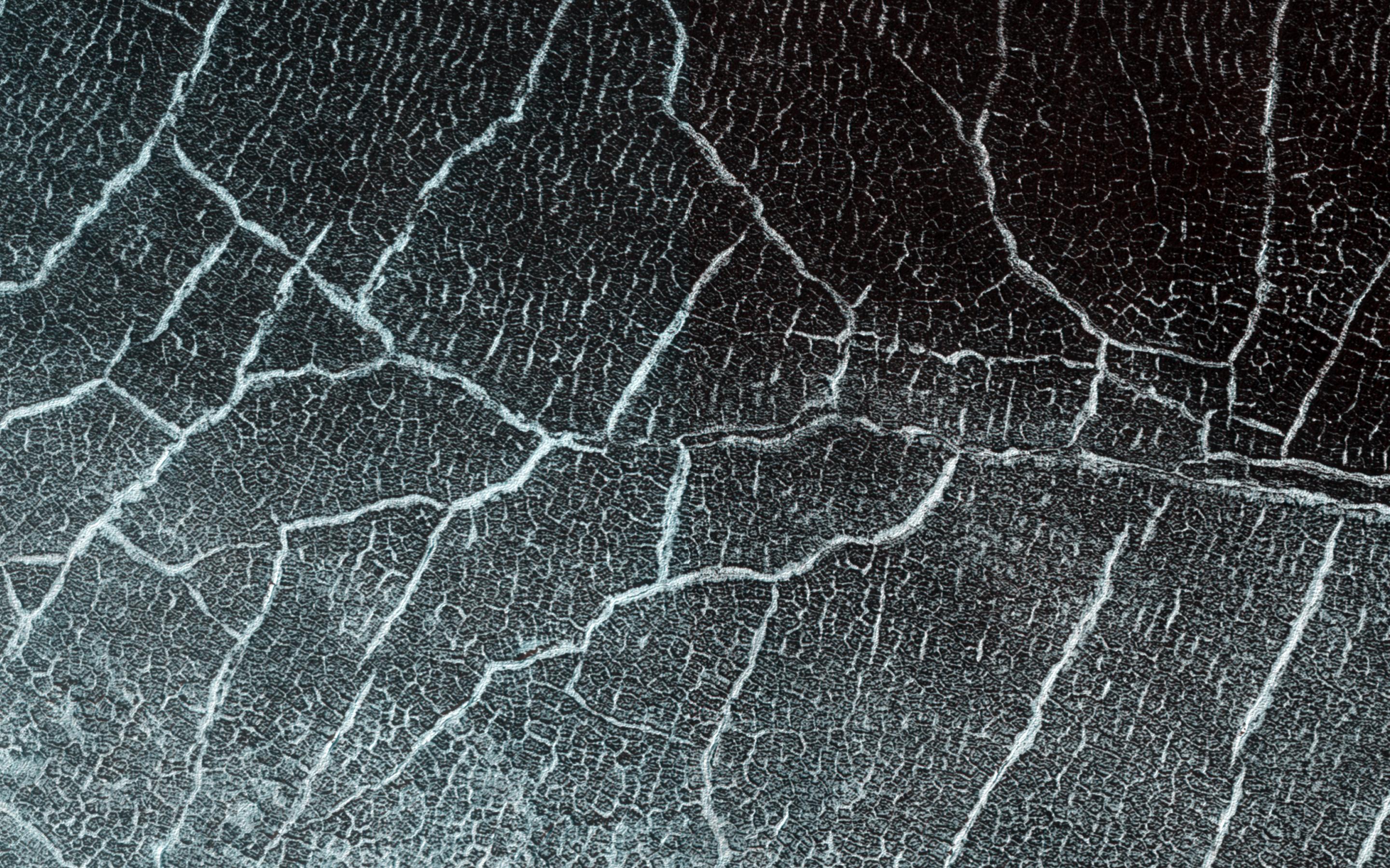
It Shrinks! It Cracks!
Full Resolution:
TIFF
(5.191 MB)
JPEG
(984.4 kB)
2017-04-21
Mars
Mars Exploration Rover (MER)
Mars Reconnaissance Orbiter (MRO)
HiRISE
2558x2014x3
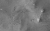
PIA21494:
Rover's Landing Hardware at Eagle Crater, Mars
Full Resolution:
TIFF
(11.9 MB)
JPEG
(733.9 kB)
2017-04-24
Mars
Mars Reconnaissance Orbiter (MRO)
HiRISE
2880x1800x3
PIA21599:
How Old are Martian Gullies?
Full Resolution:
TIFF
(15.56 MB)
JPEG
(839.3 kB)
2017-04-26
Mars
Mars Reconnaissance Orbiter (MRO)
HiRISE
2880x1800x3
PIA21601:
A Volcanic Fissure
Full Resolution:
TIFF
(12.62 MB)
JPEG
(494.3 kB)
2017-04-27
Mars
Mars Reconnaissance Orbiter (MRO)
HiRISE
3543x2024x3
PIA21602:
Gullies with Color Anomalies
Full Resolution:
TIFF
(21.52 MB)
JPEG
(1.557 MB)
2017-05-01
Mars
Mars Reconnaissance Orbiter (MRO)
HiRISE
2880x1800x1
PIA21603:
Aging with Impacts
Full Resolution:
TIFF
(5.191 MB)
JPEG
(945 kB)
2017-05-02
Mars
Mars Reconnaissance Orbiter (MRO)
HiRISE
2880x1800x3
PIA21605:
Colorful Equatorial Gullies in Krupac Crater
Full Resolution:
TIFF
(15.56 MB)
JPEG
(934.8 kB)
2017-05-03
Mars
Mars Reconnaissance Orbiter (MRO)
HiRISE
2880x1800x3
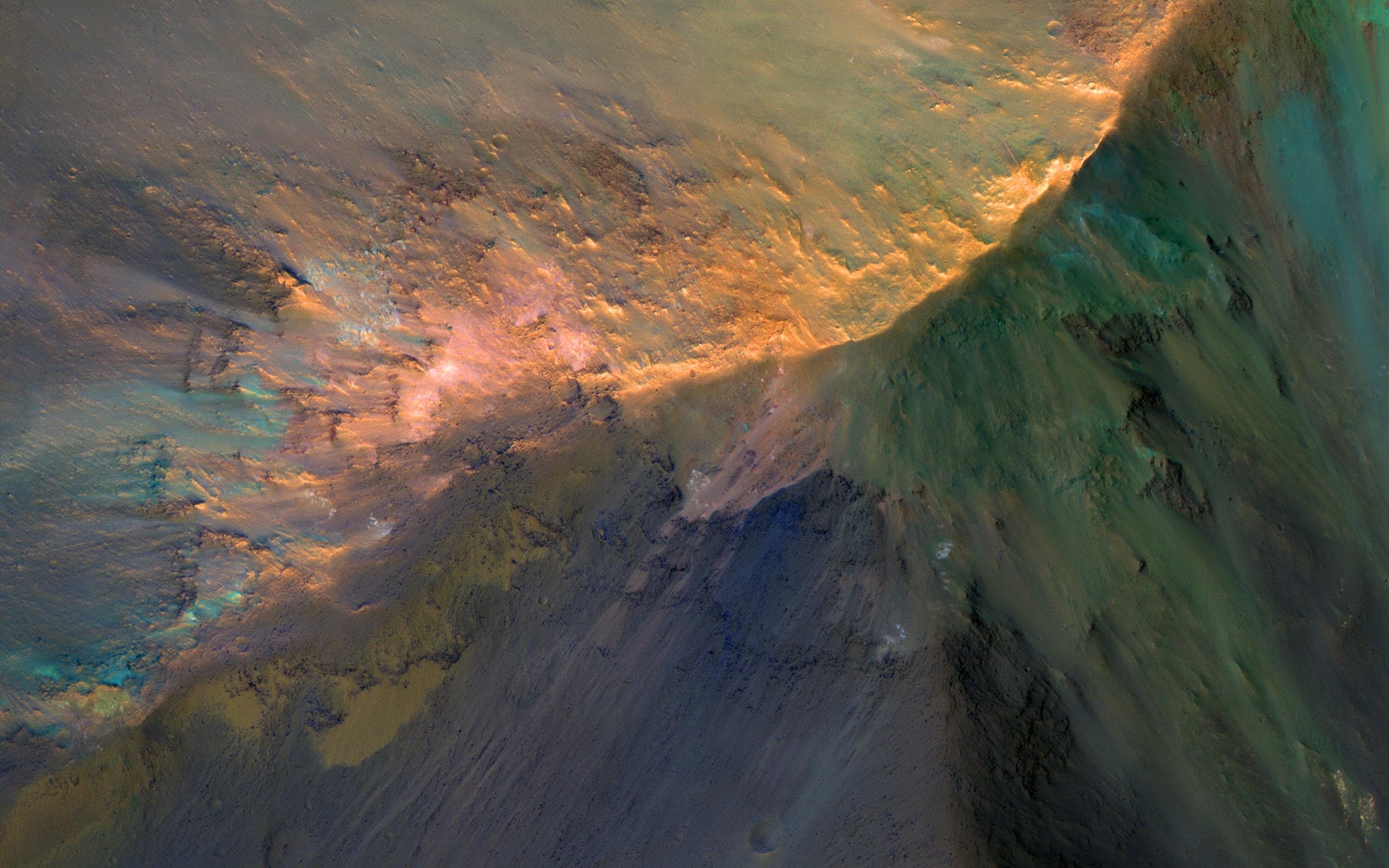
PIA21606:
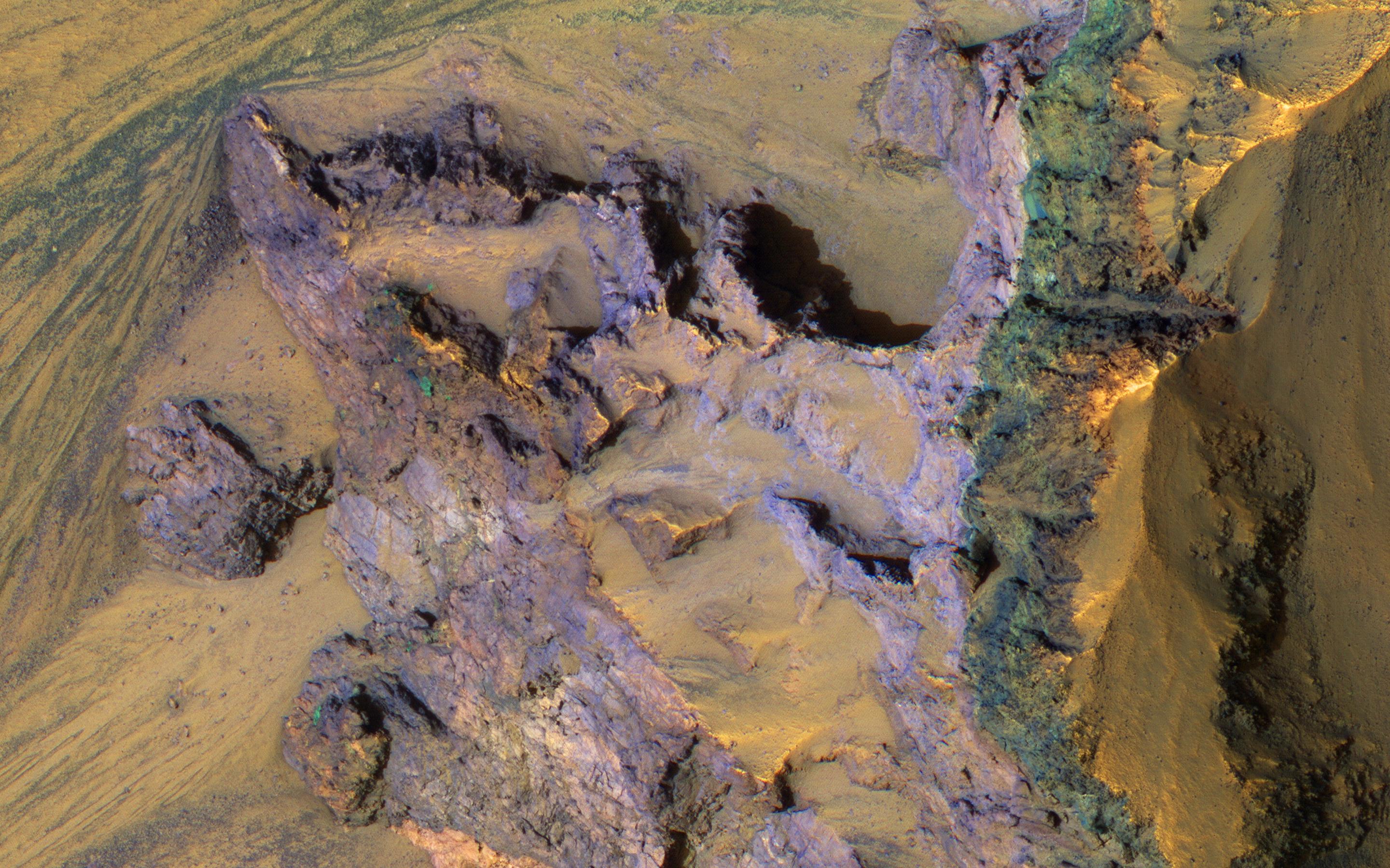
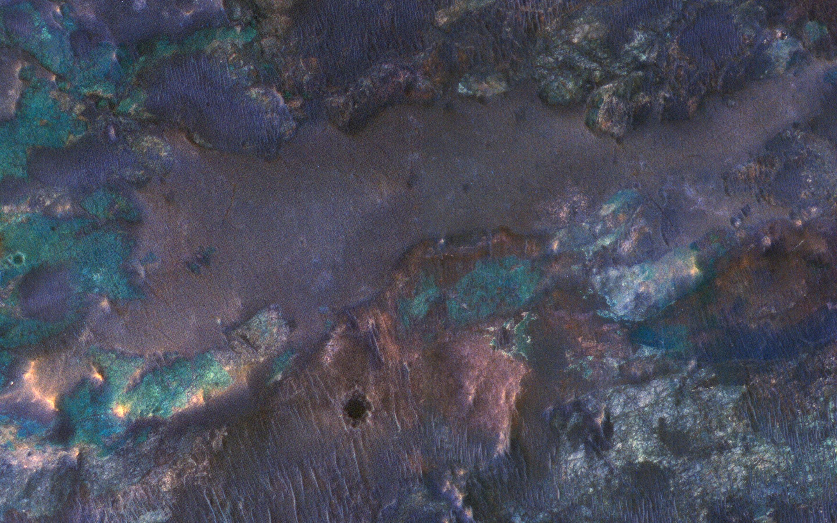
Colorful Bedrock
Full Resolution:
TIFF
(15.56 MB)
JPEG
(846.8 kB)
2017-05-04
Mars
Mars Reconnaissance Orbiter (MRO)
HiRISE
2880x1800x3
PIA21608:
Seasonal Flows in Valles Marineris
Full Resolution:
TIFF
(14.57 MB)
JPEG
(466 kB)
2017-05-08
Mars
Mars Reconnaissance Orbiter (MRO)
HiRISE
2880x1800x3
PIA21609:
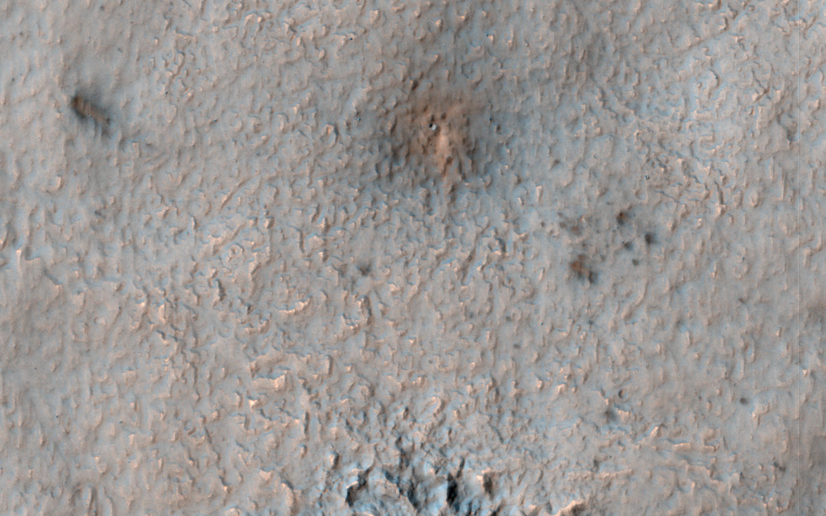
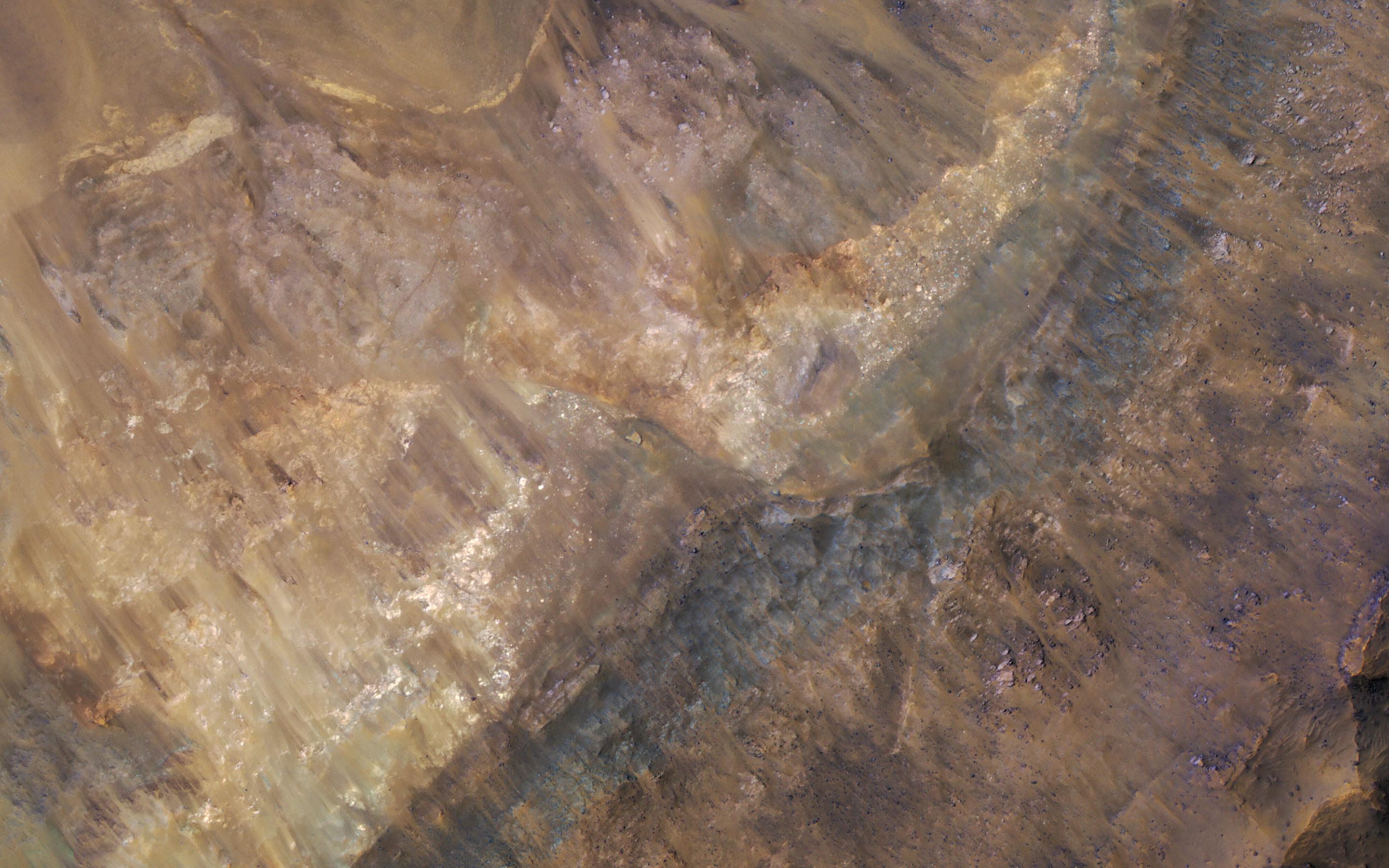
Colorful Impact Ejecta from Hargraves Crater
Full Resolution:
TIFF
(15.56 MB)
JPEG
(918.7 kB)
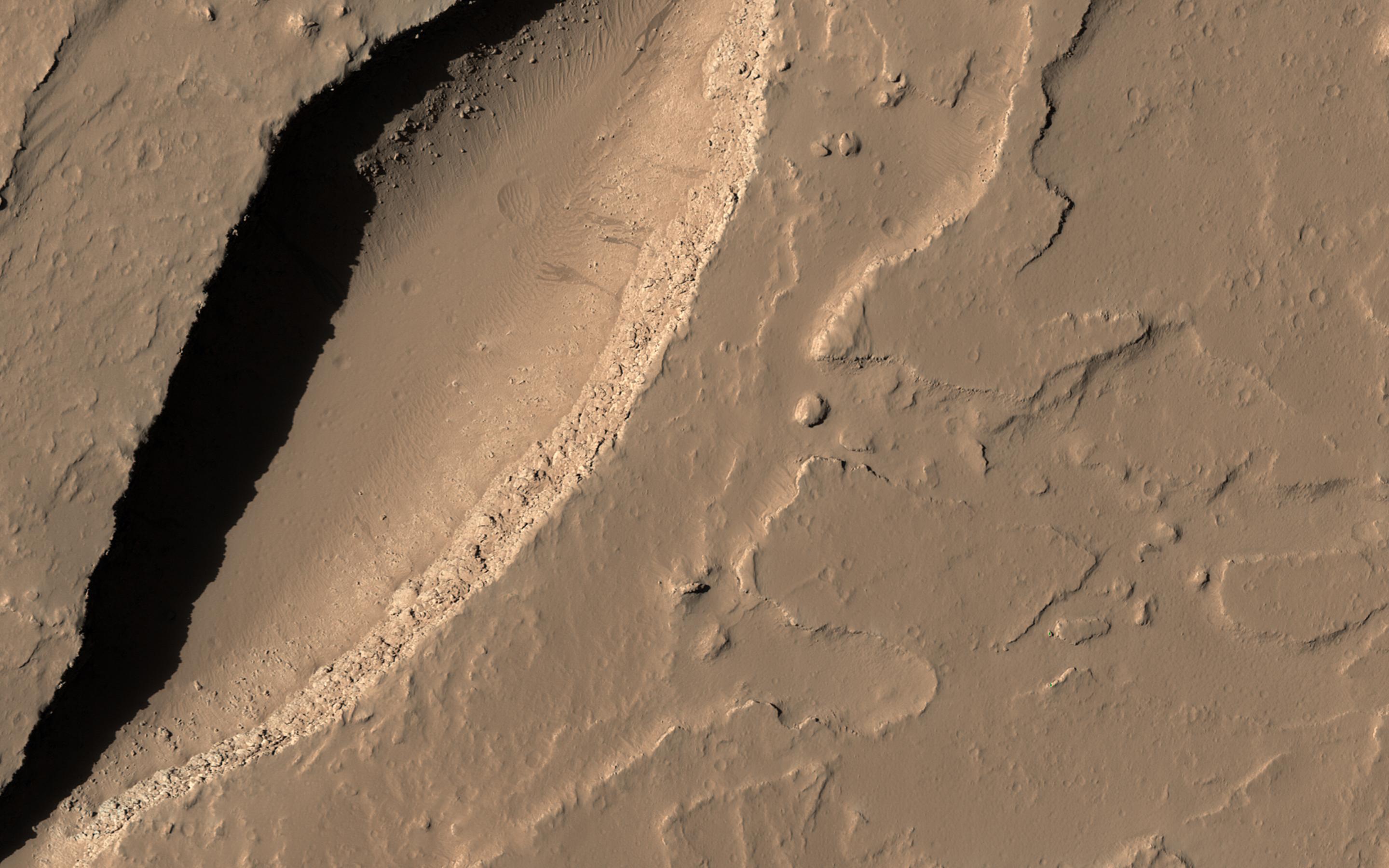
2017-05-09
Mars
Mars Reconnaissance Orbiter (MRO)
HiRISE
2880x1800x3
PIA21630:
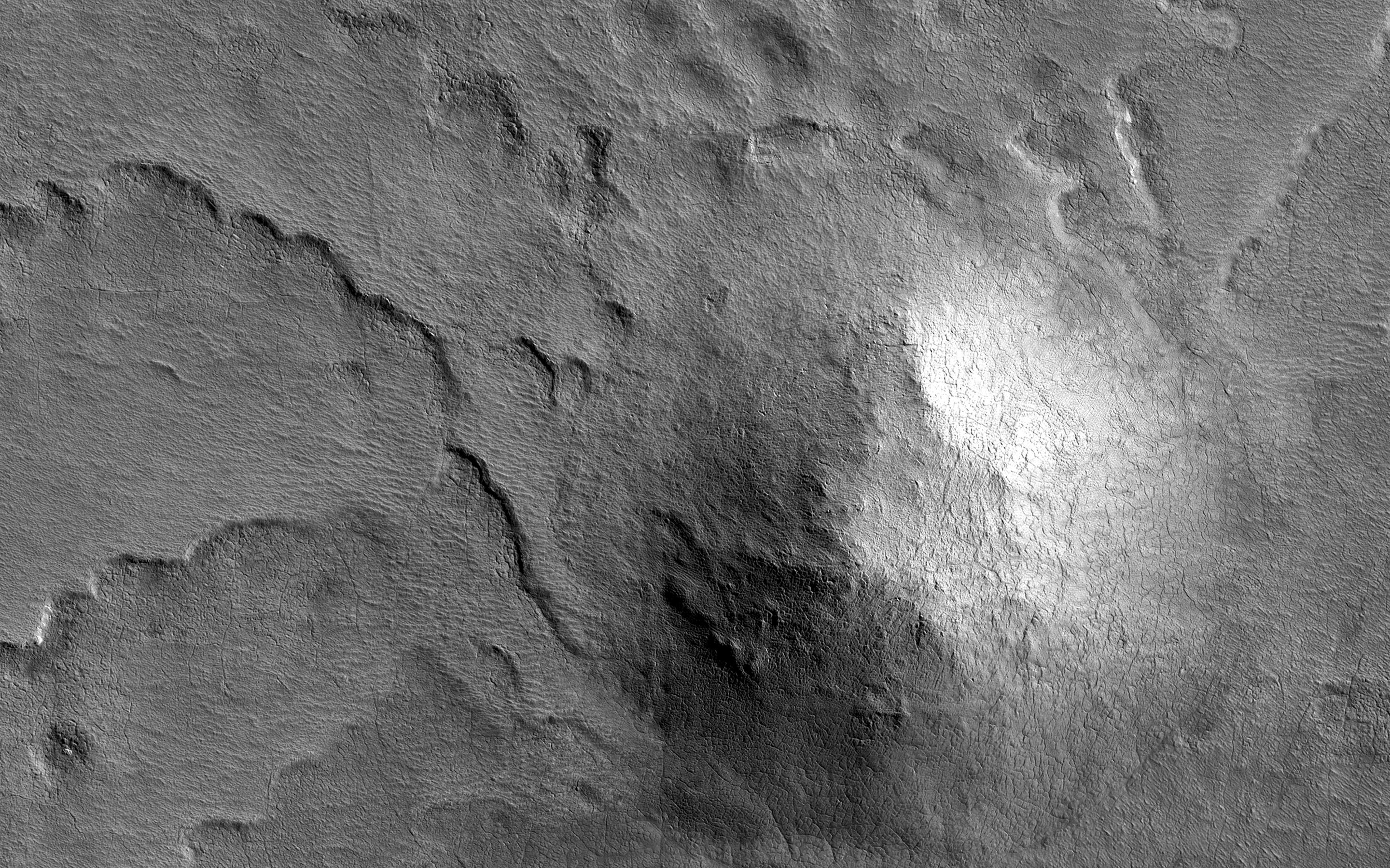
An Ancient Valley Network
Full Resolution:
TIFF
(15.56 MB)
JPEG
(747.3 kB)
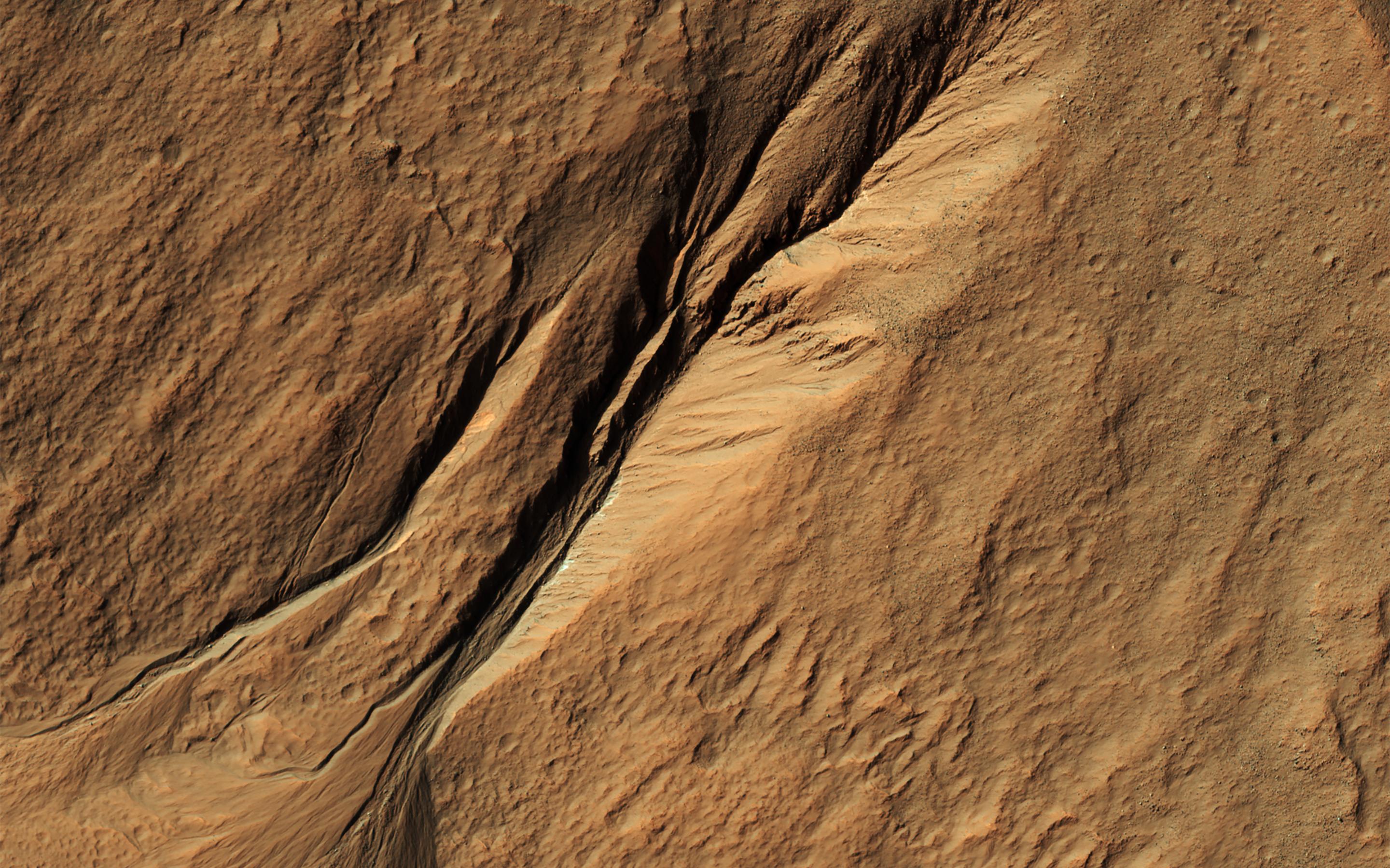
2017-05-10
Mars
Mars Reconnaissance Orbiter (MRO)
HiRISE
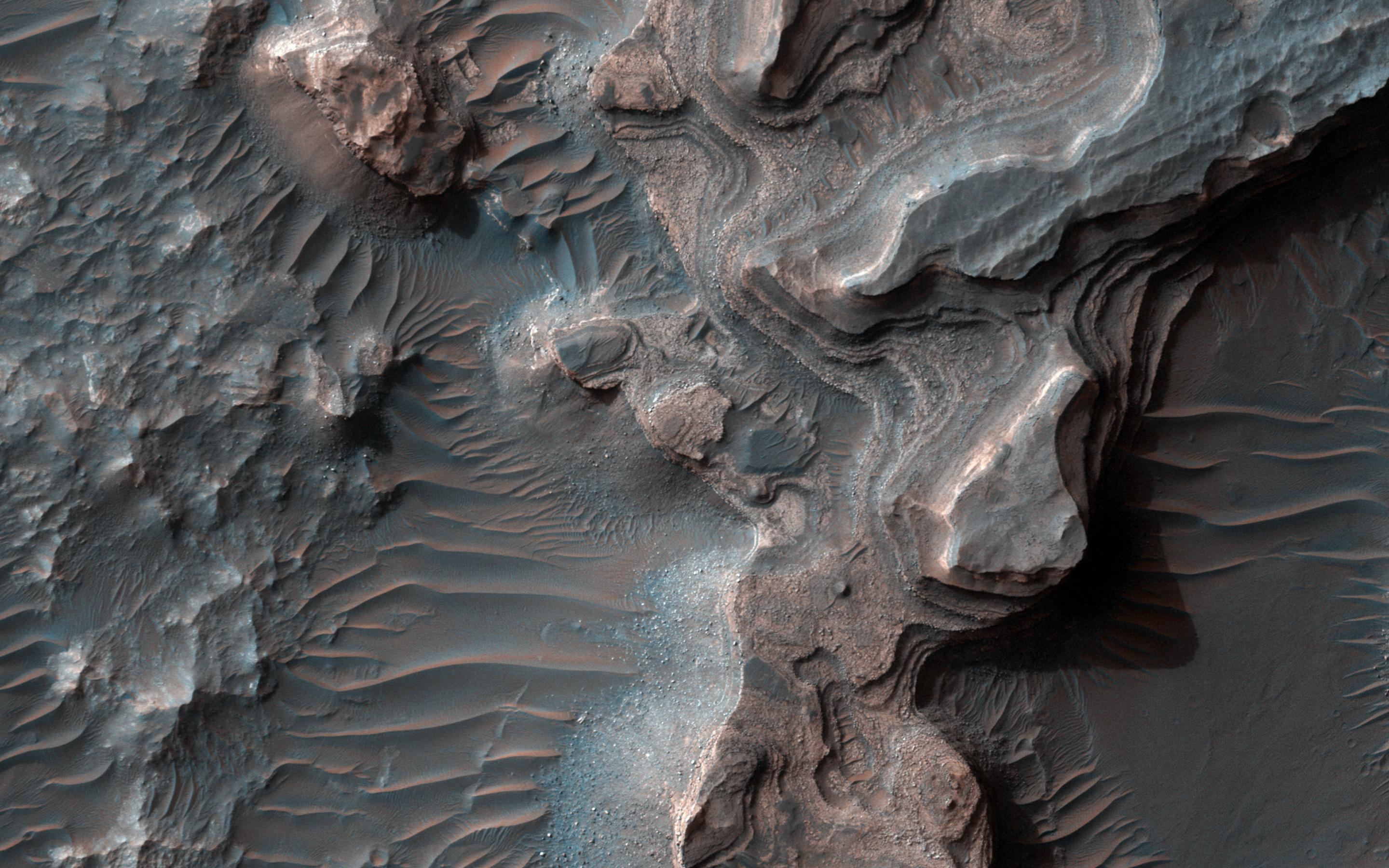
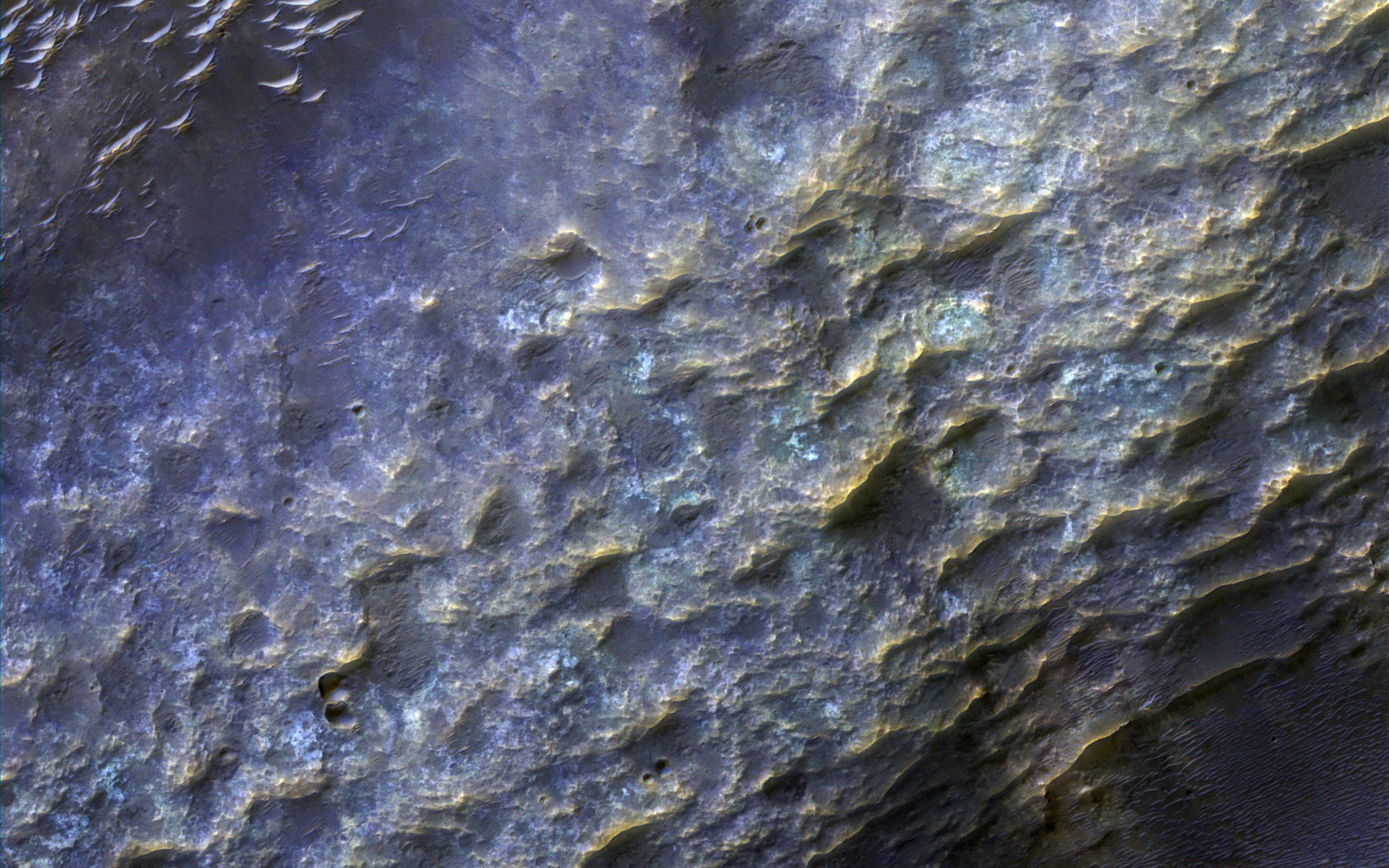
2880x1800x3
PIA21631:
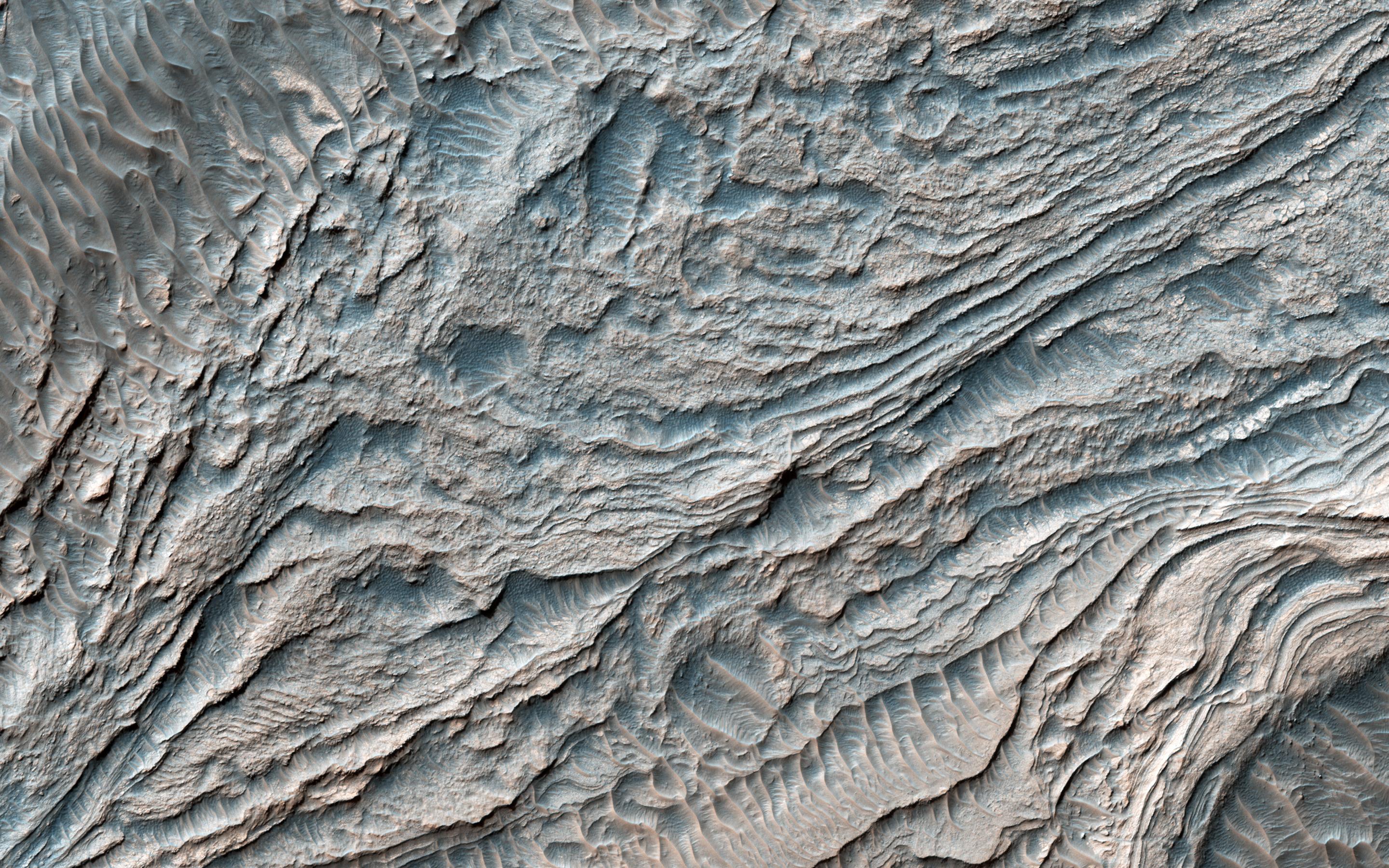
Stratigraphy Exposed by an Impact Crater
Full Resolution:
TIFF
(15.56 MB)
JPEG
(551.3 kB)
1-100
101-200
201-300
301-400
401-500
501-600
601-700
701-800
801-900
901-1000
Currently displaying images:
1101 - 1200
of 1671


